
Route 9

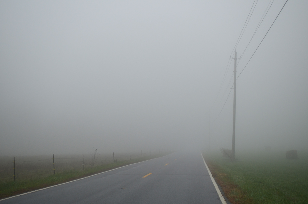
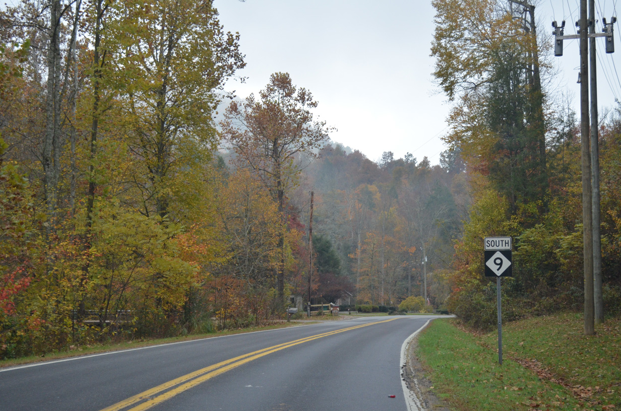
Forming a multi state highway with S.C. 9 south to Spartanburg, NC 9 travels 46.49 miles north from southern Polk County to Montreat in Buncombe County. The rural highway heads north from the Palmetto State to Green Creek, Kross Keys and Sandy Plains. Turning west from U.S. 74 at Beulah, NC 9 advances to Mill Spring near Little White Oak Mountain.
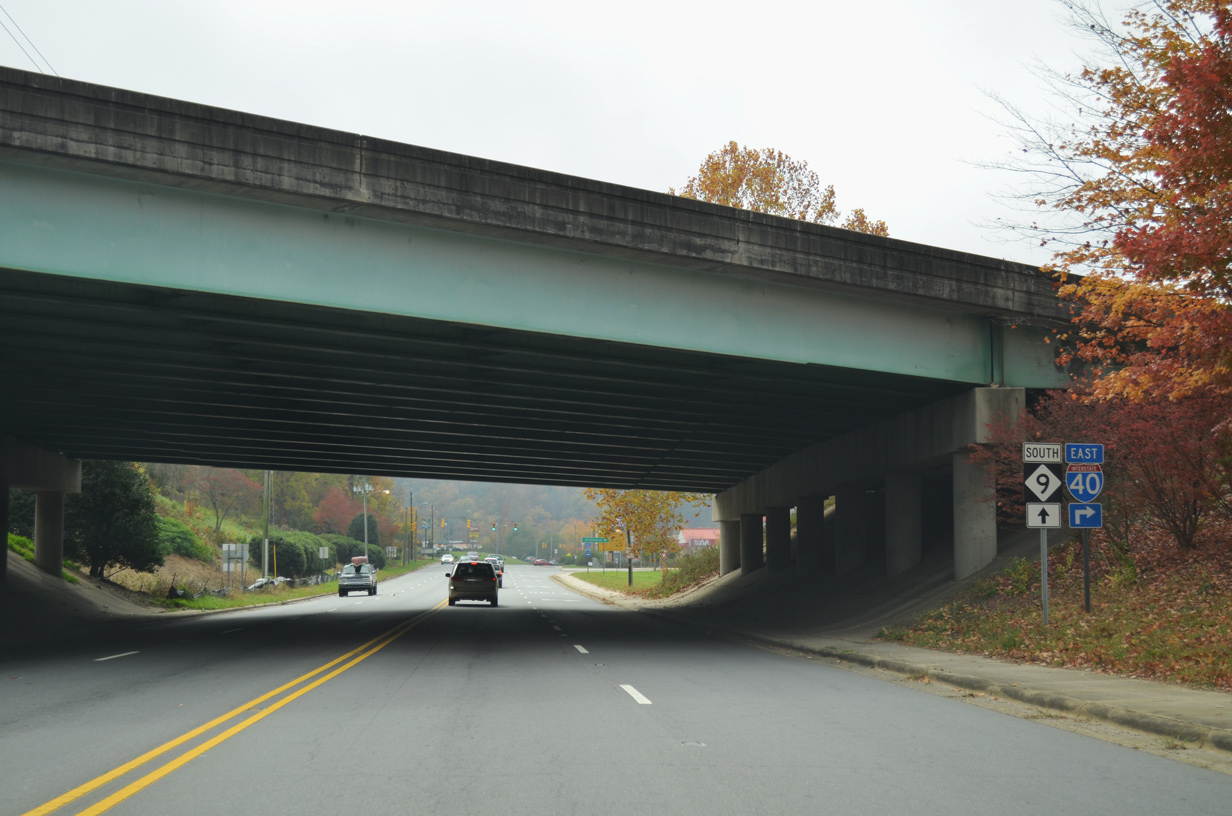
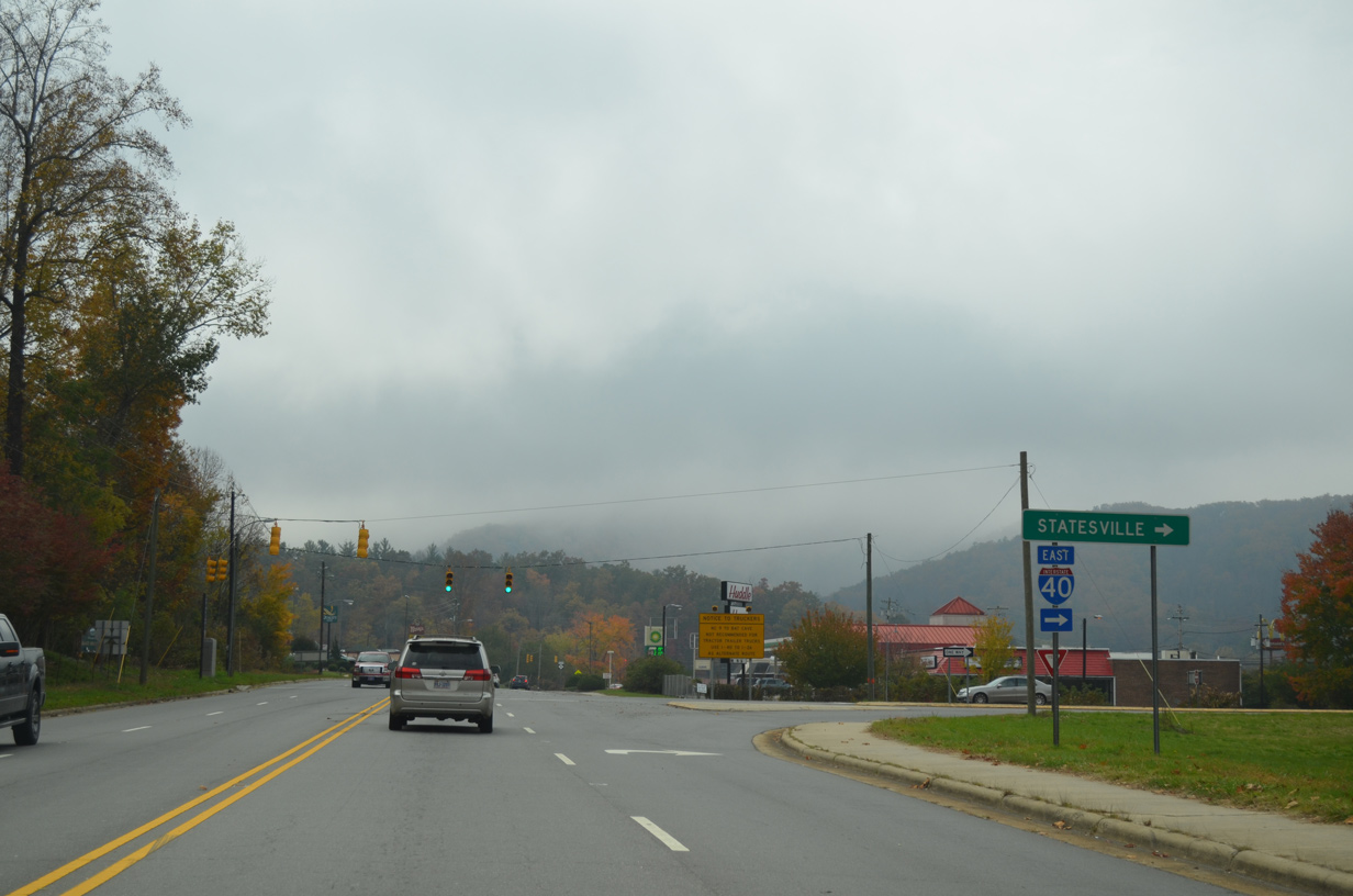
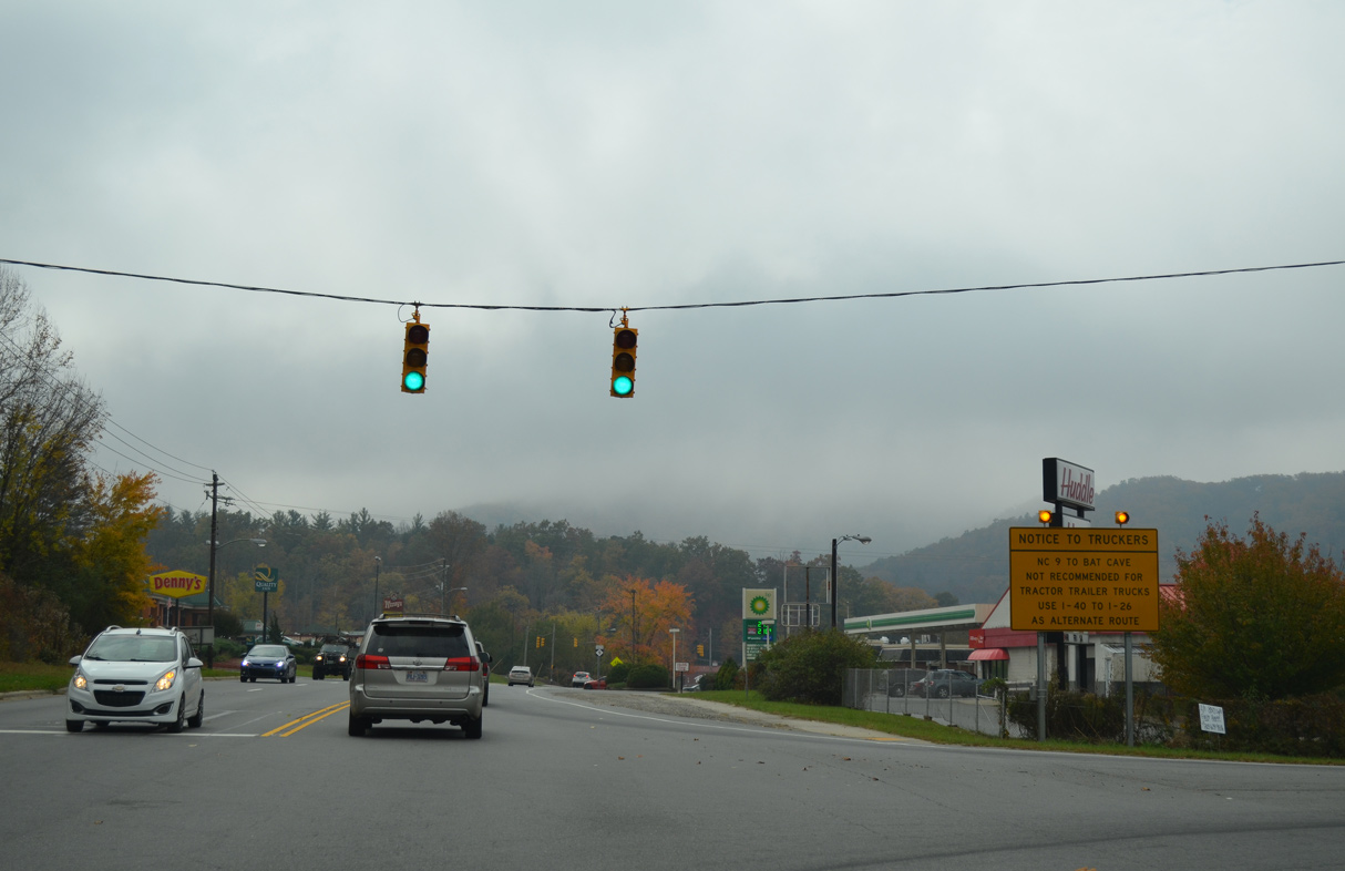
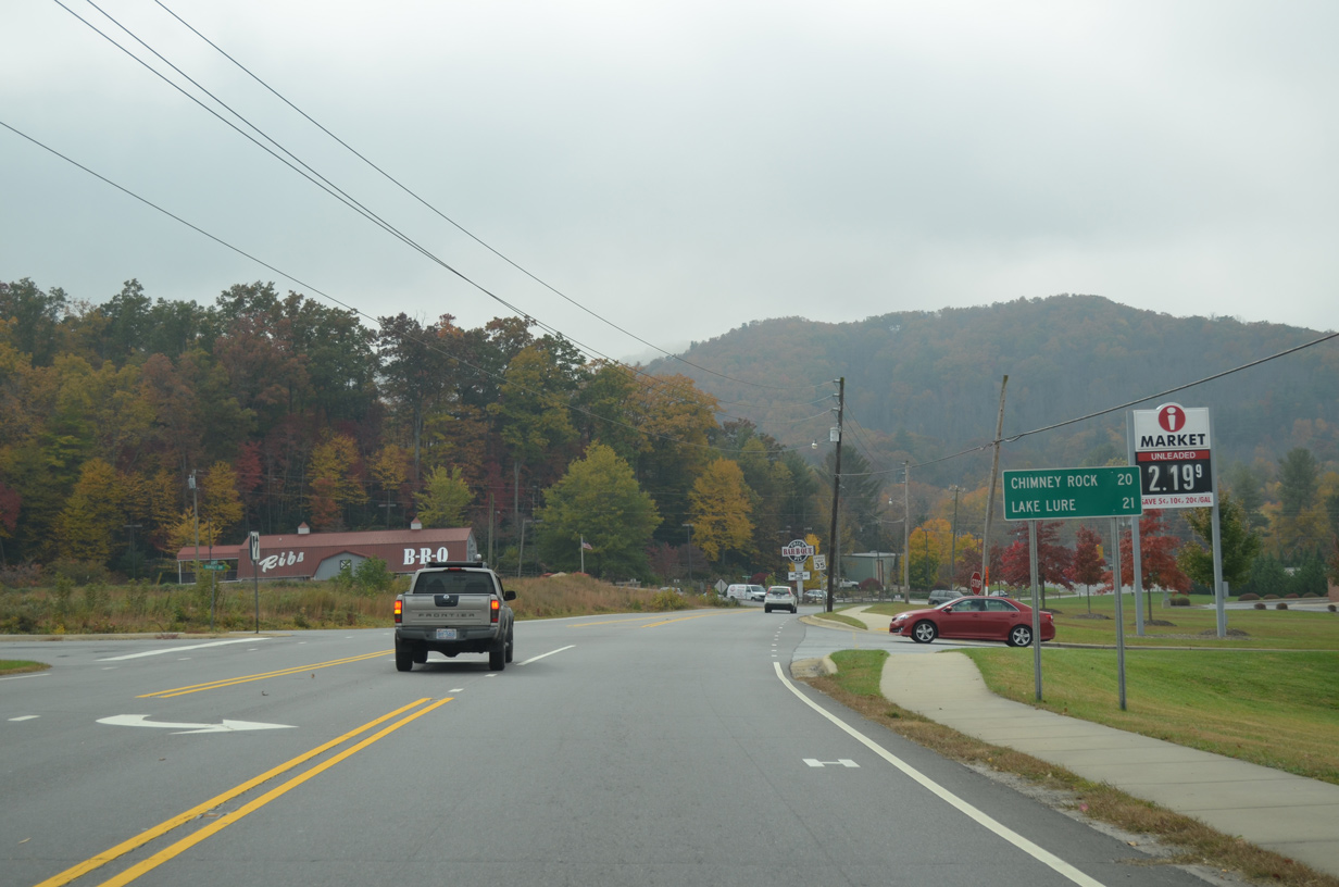
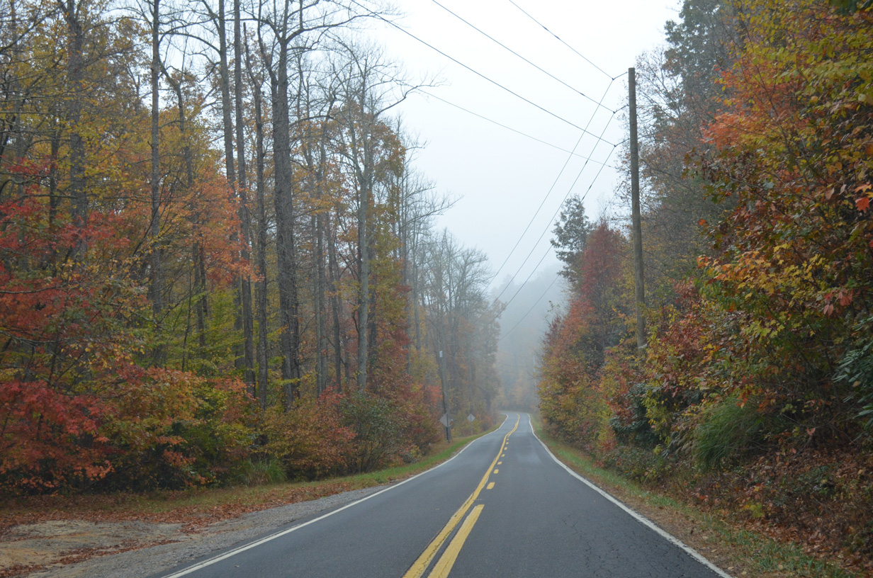
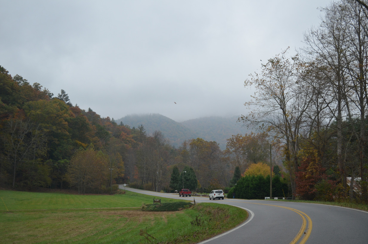
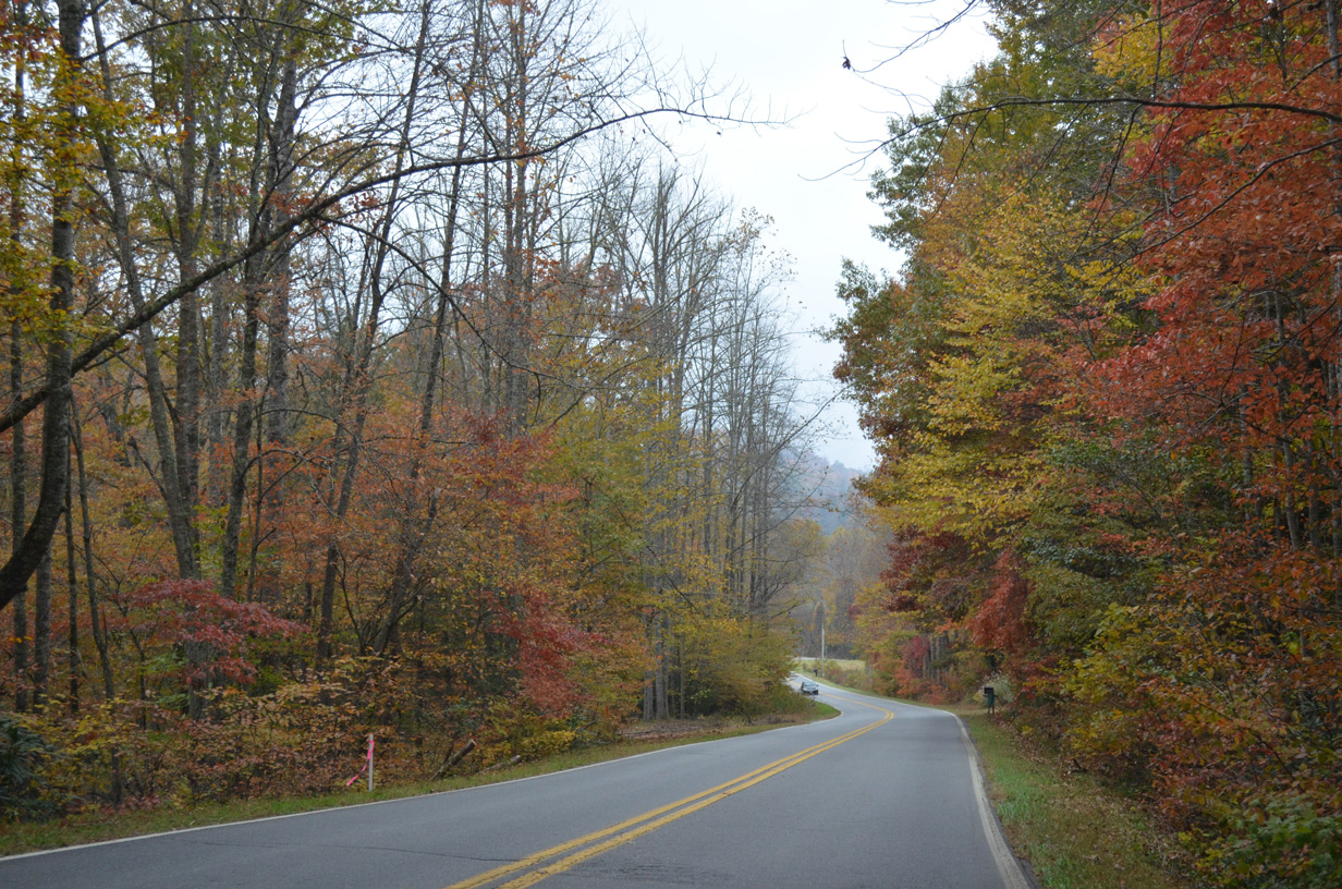
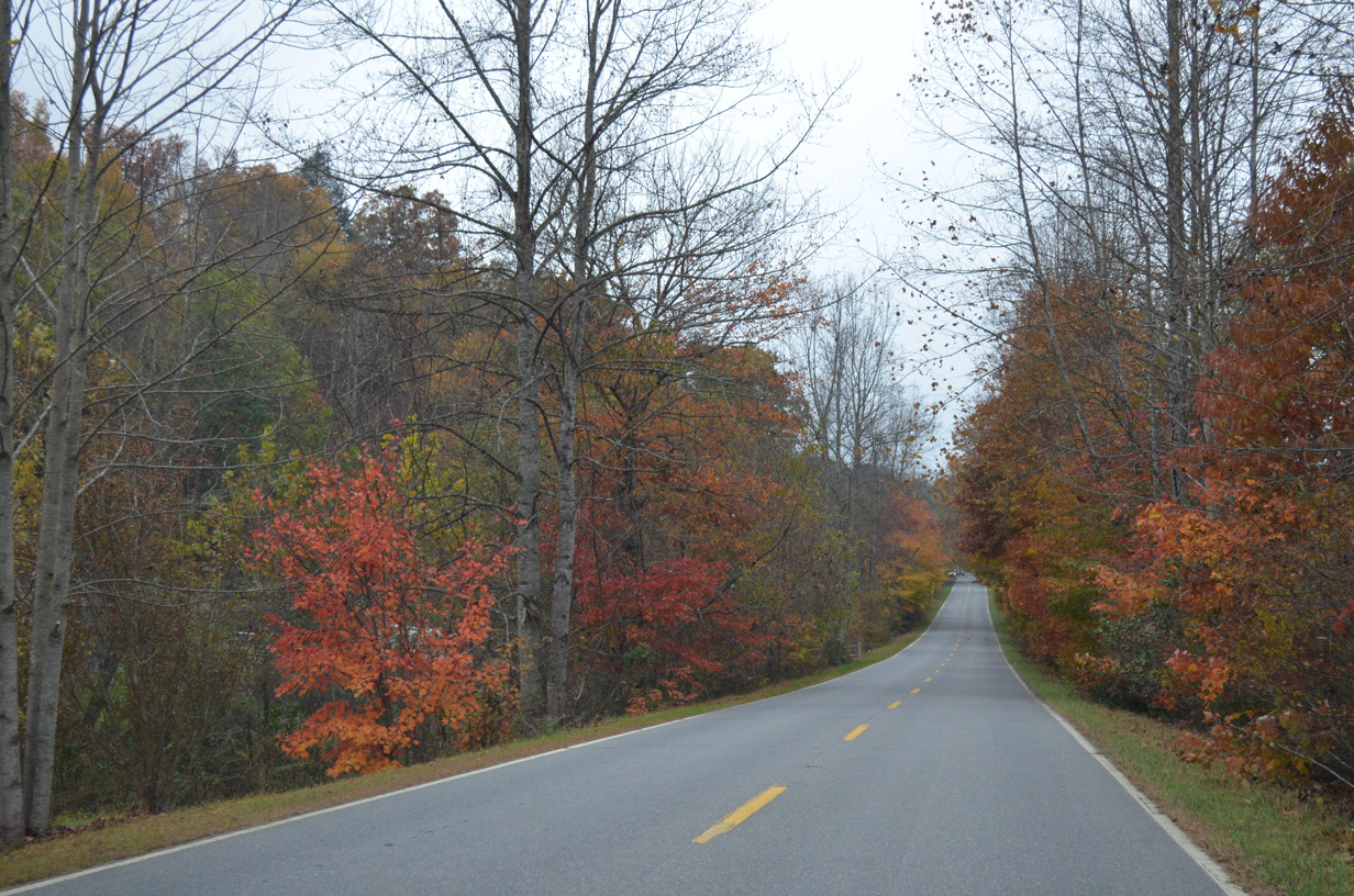
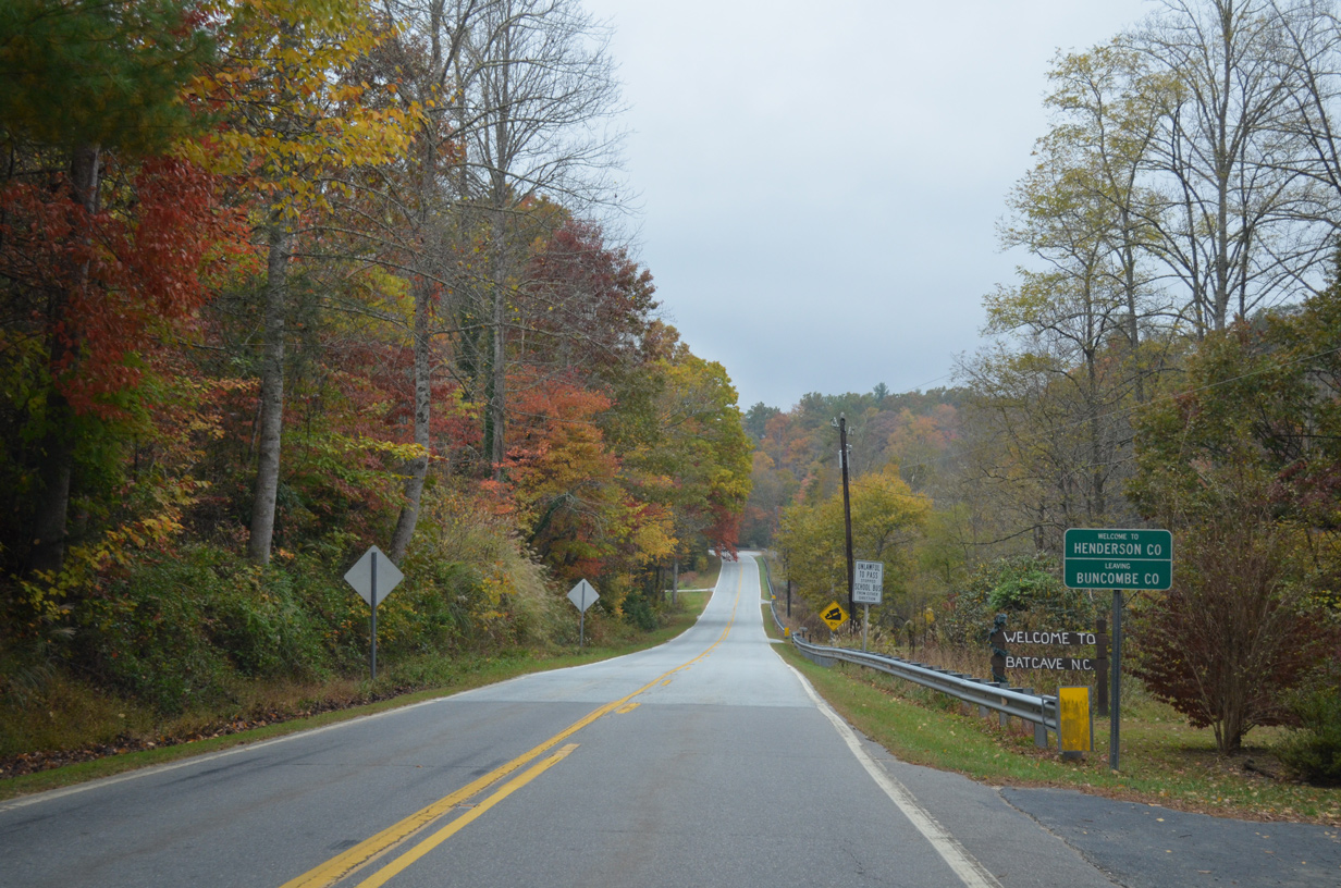
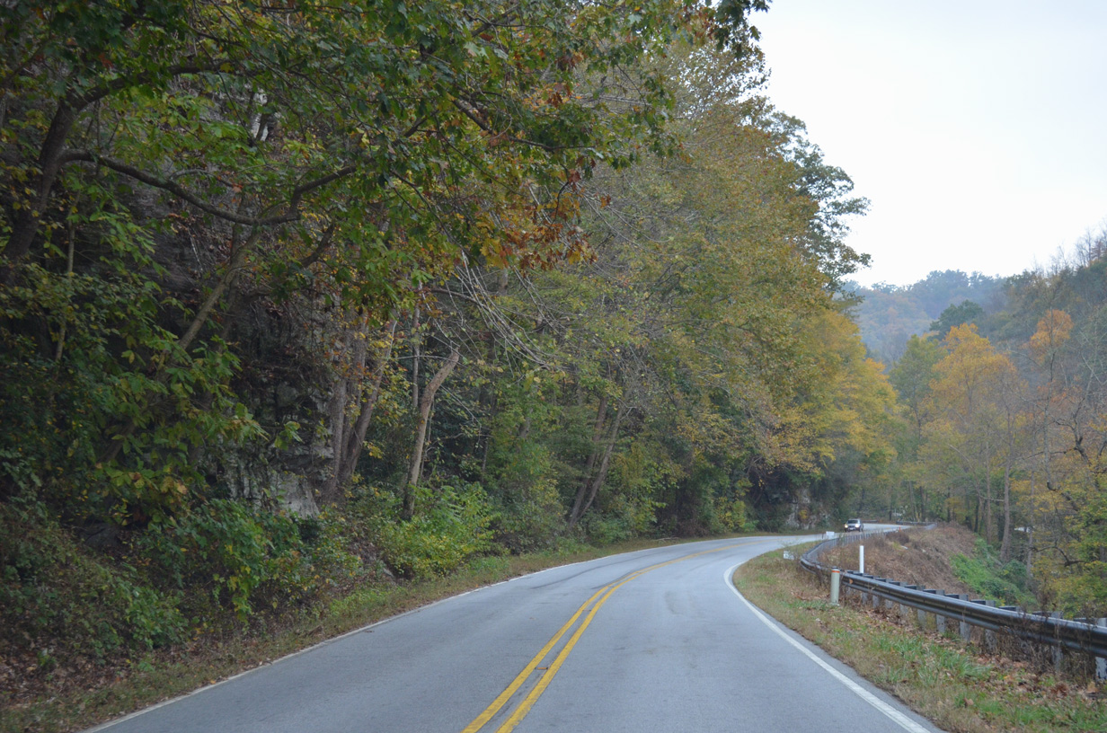
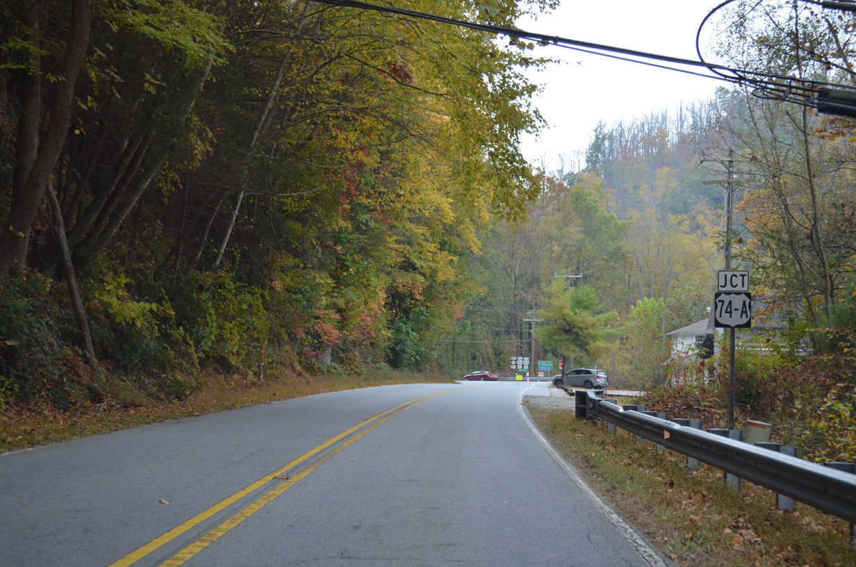
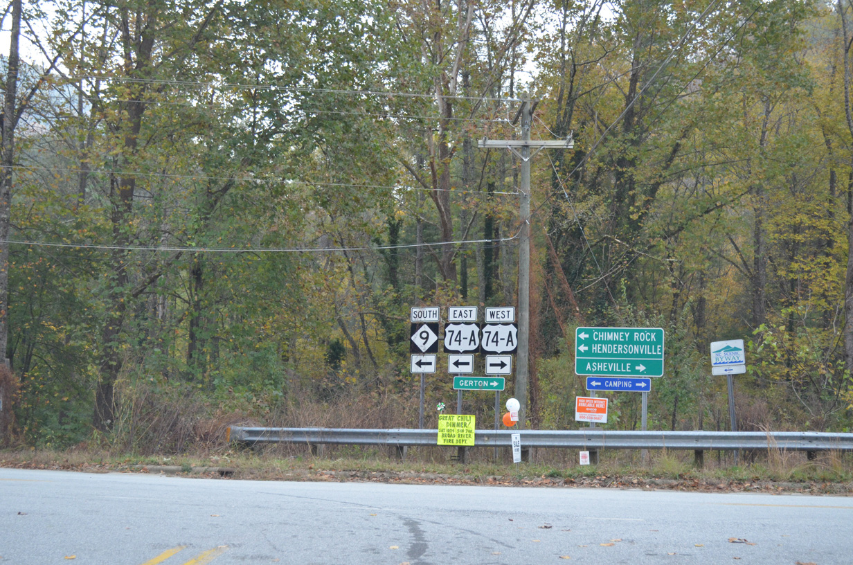
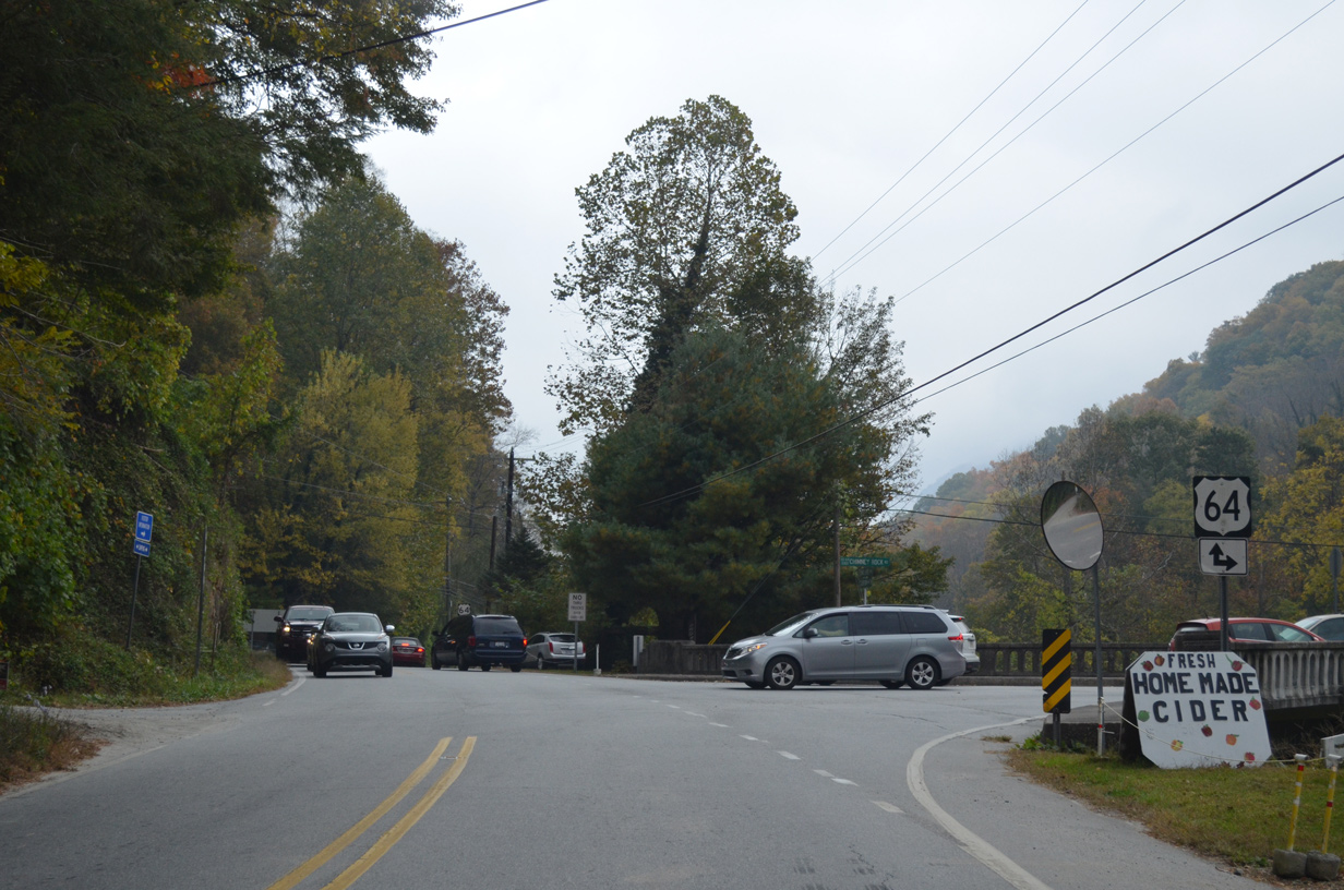
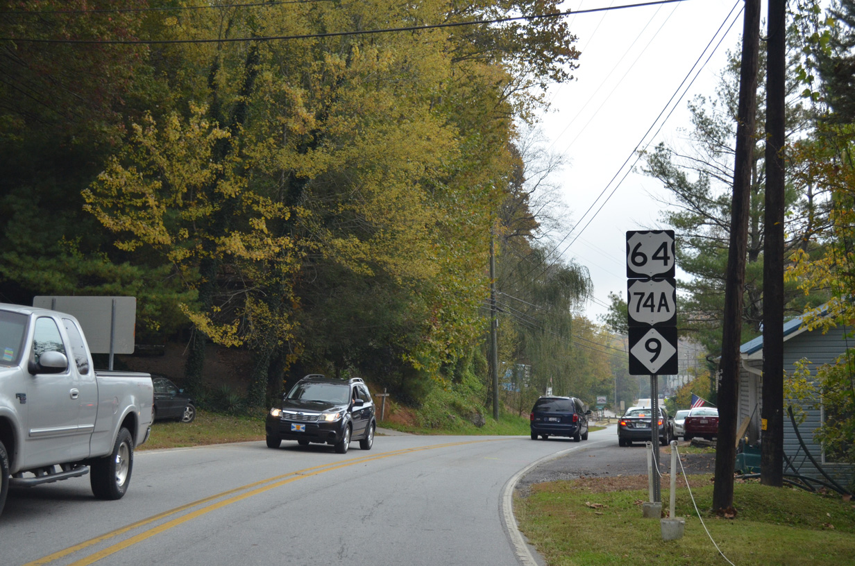
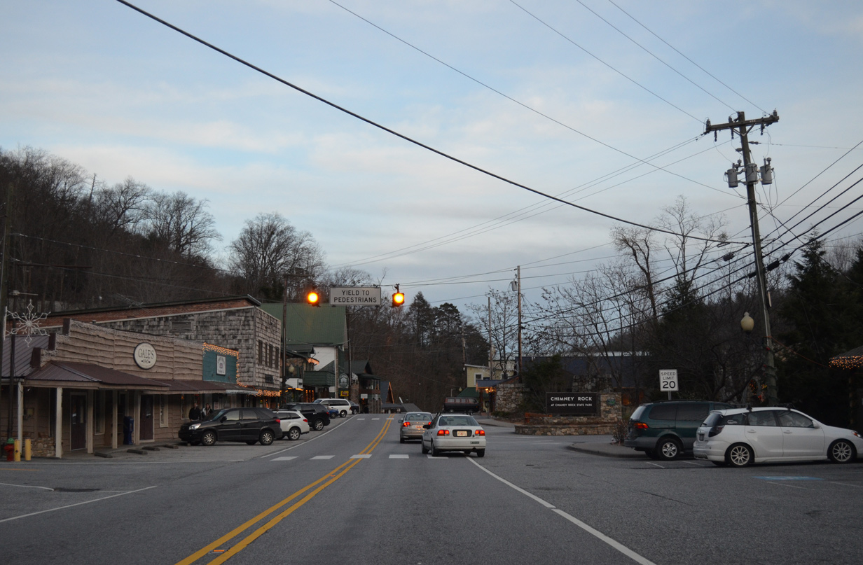
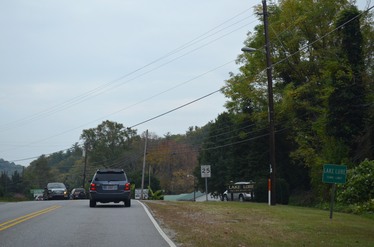
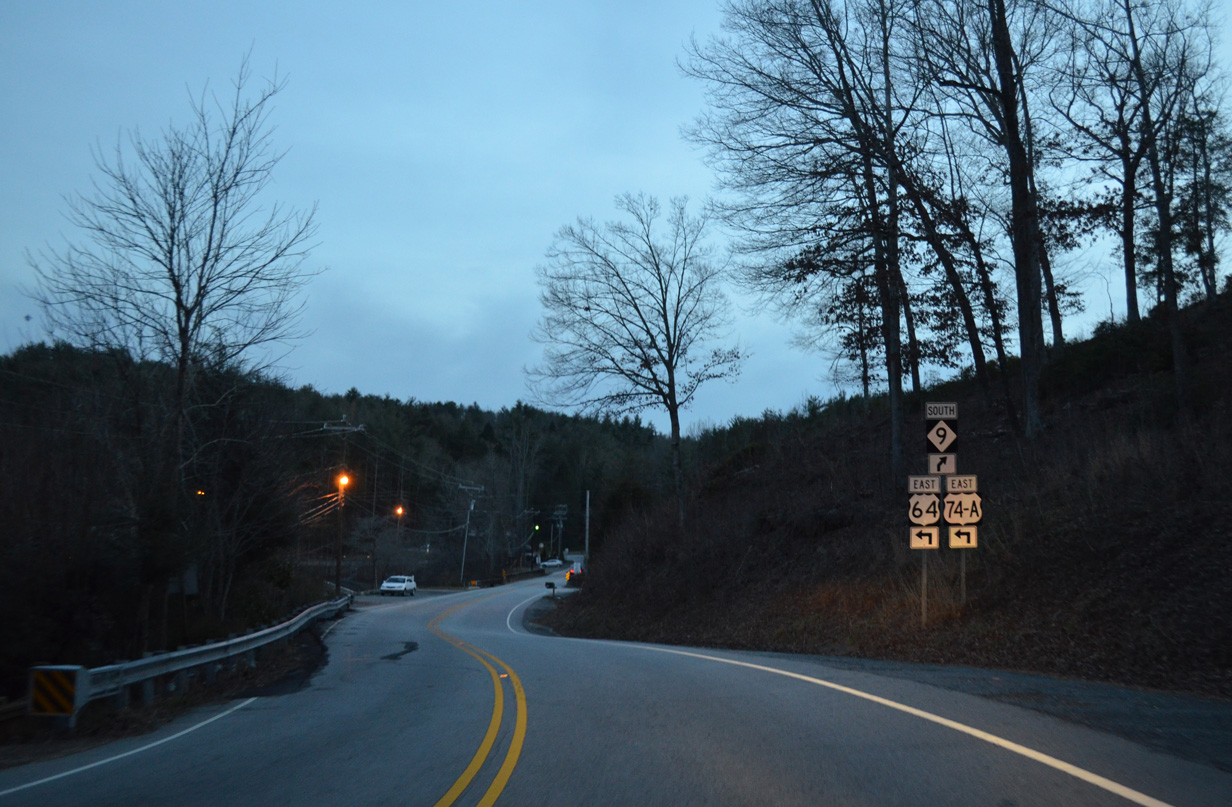
Continuing north past Lake Adger, NC 9 enters Rutherford County midway between Sunny View and Lake Lure. Combining with U.S. 64/74A for 7.24 miles, NC 9 parallels the Broad River west to Chimney Rock and across Paris Gap to Bat Cave in Henderson County. U.S. 64 turns south to Henderson 0.19 miles east of the U.S. 74A/NC 9 west split.
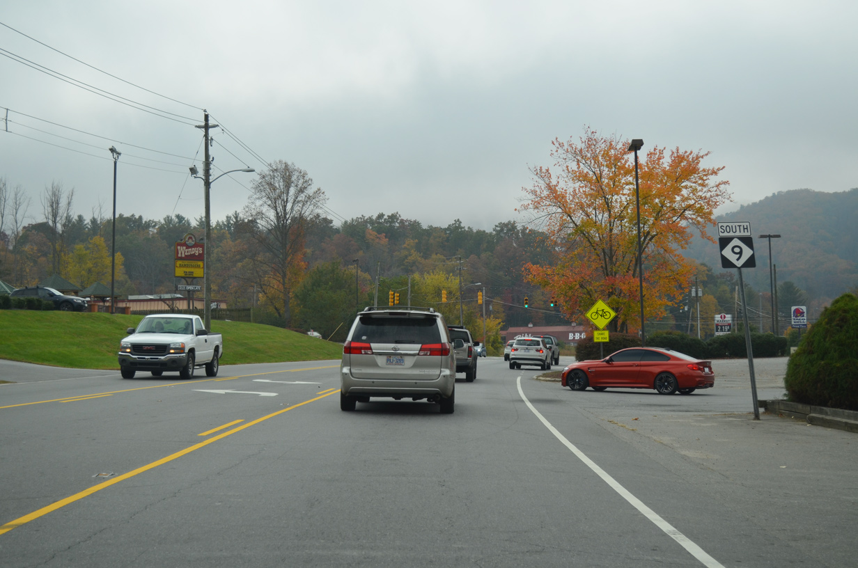
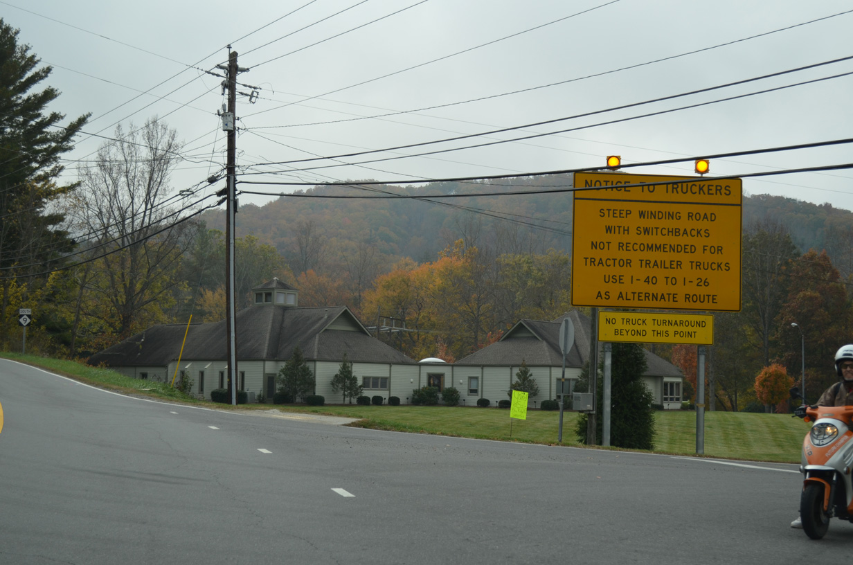
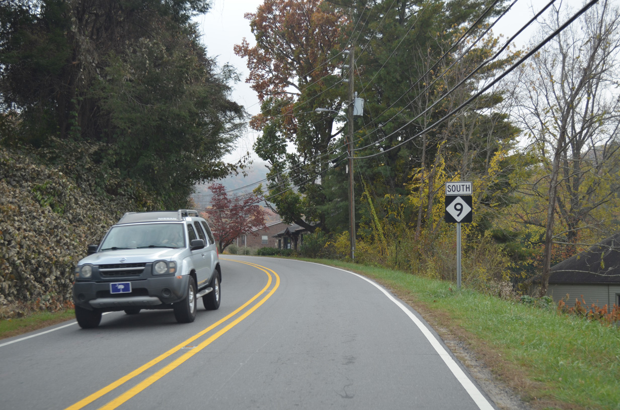
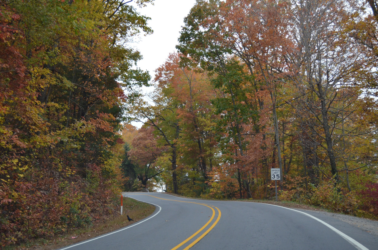
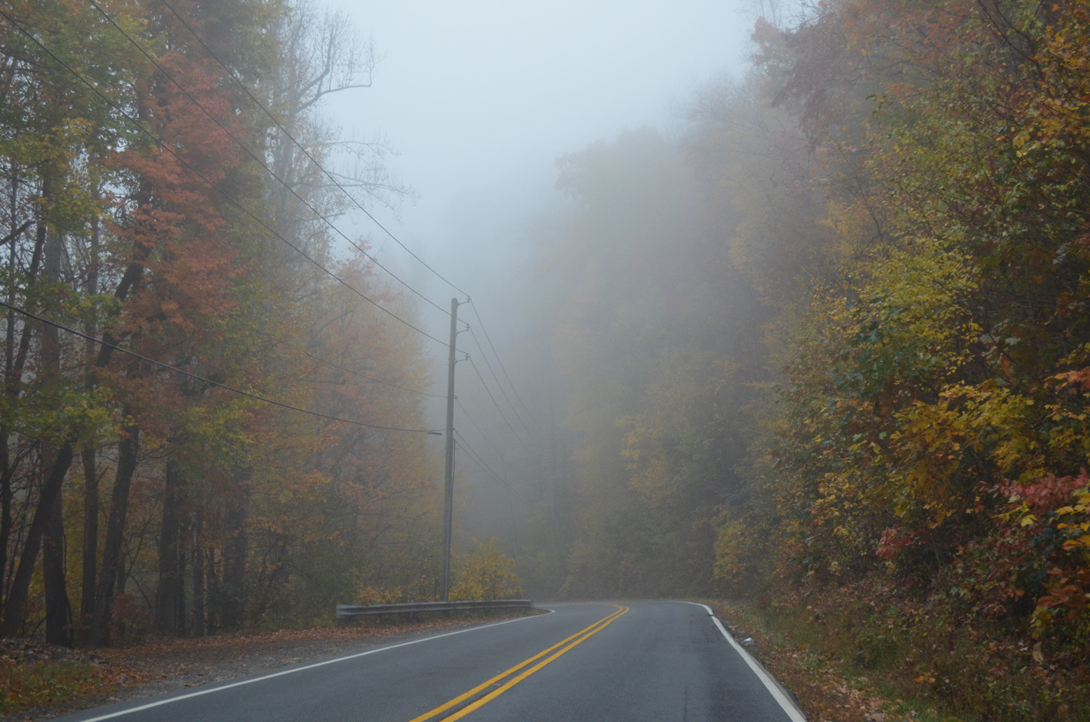
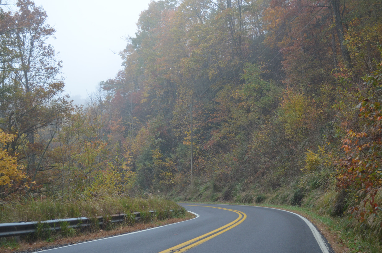
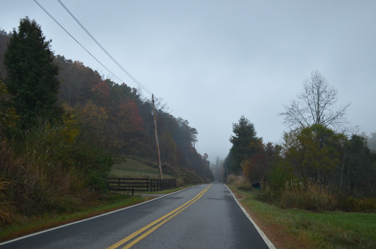
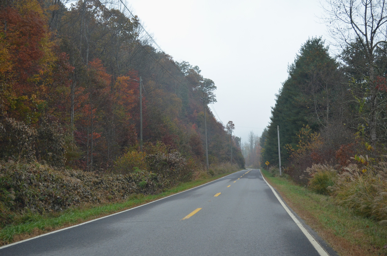
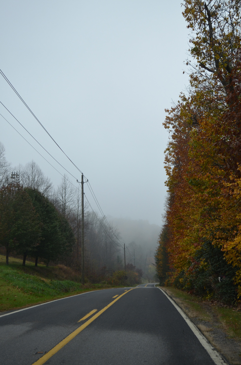
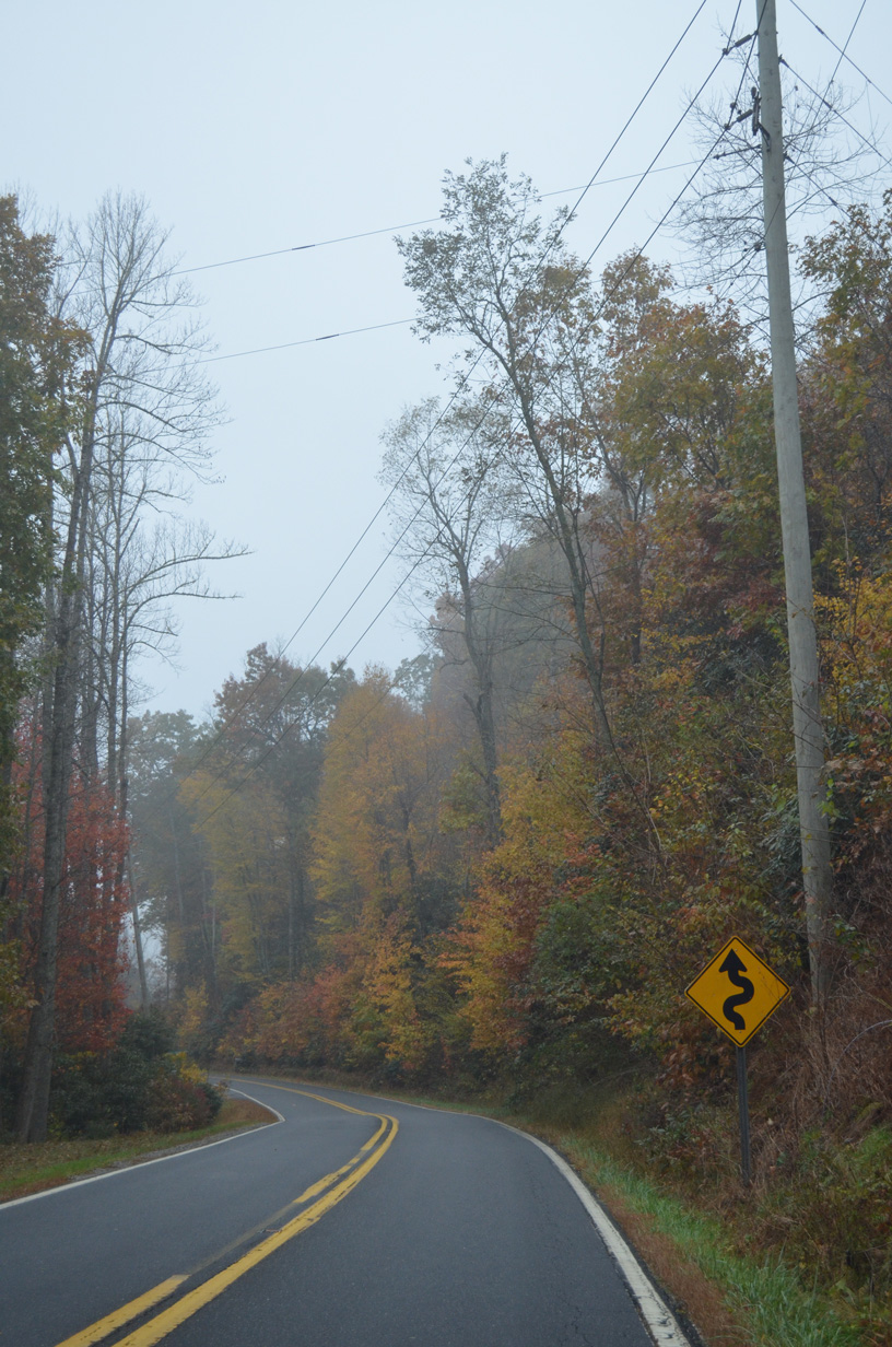
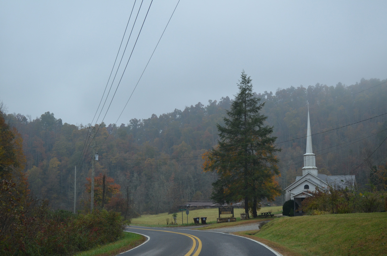
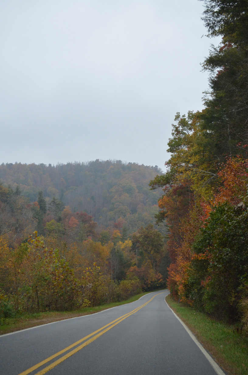
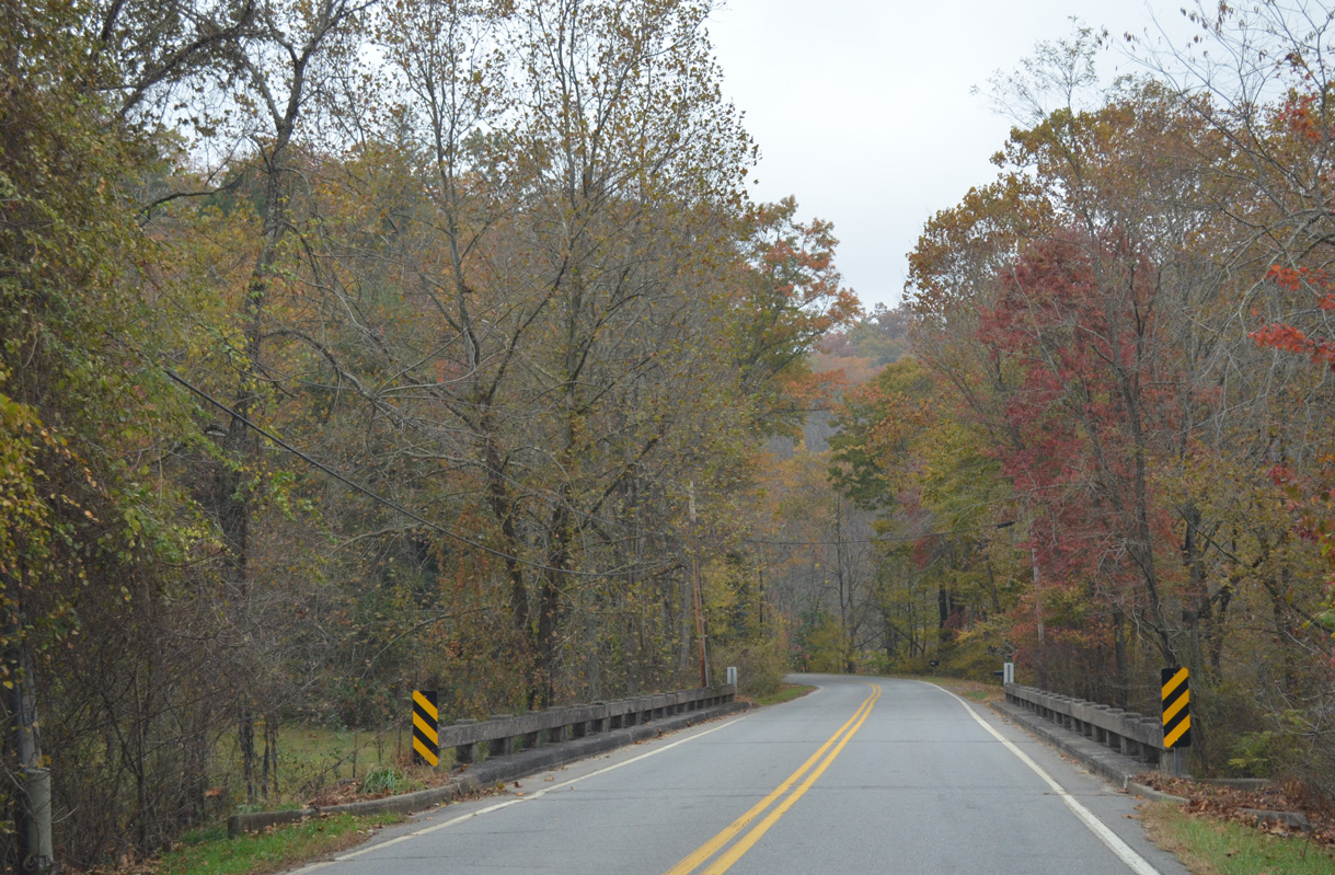
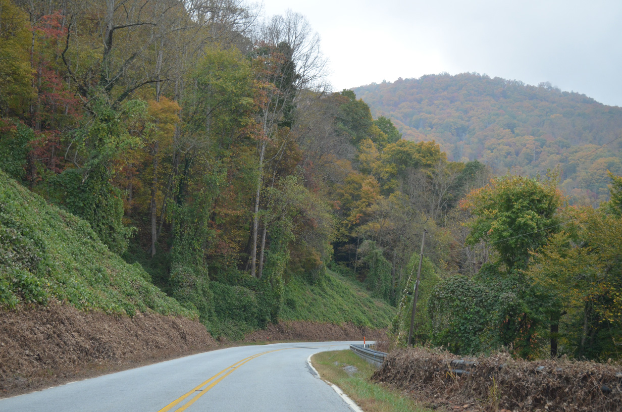
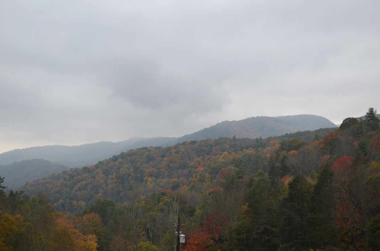
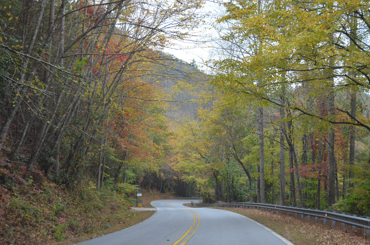
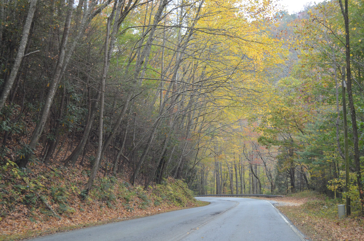
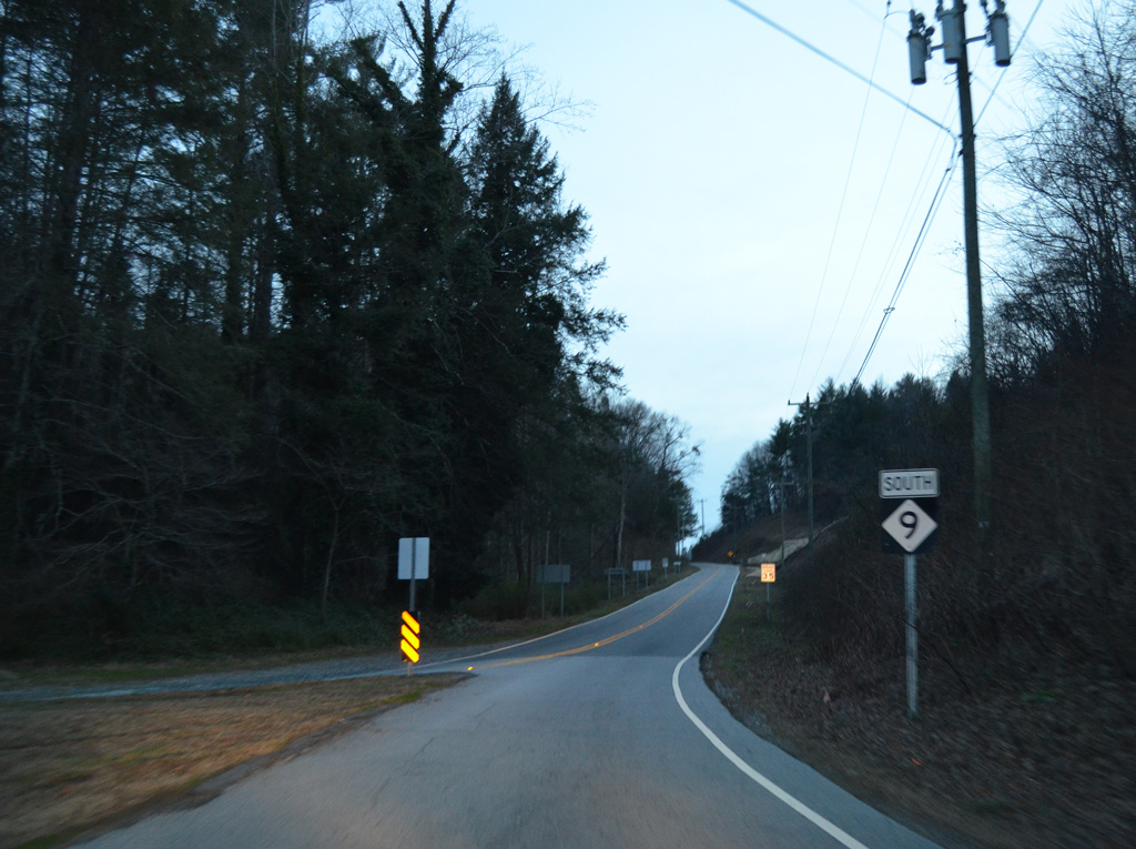
NC 9 branches north from U.S. 74A (Gerton Highway) at Bat Cave 19.56 miles to Black Mountain and Montreat. NC 9 traverses the Blue Ridge Mountains north to Camp Minnehaha Falls in Henderson County and along the Broad River in Buncombe County. The scenic highway turns northward from Stone Mountain to the Tennessee Valley Divide at Lakey Gap.
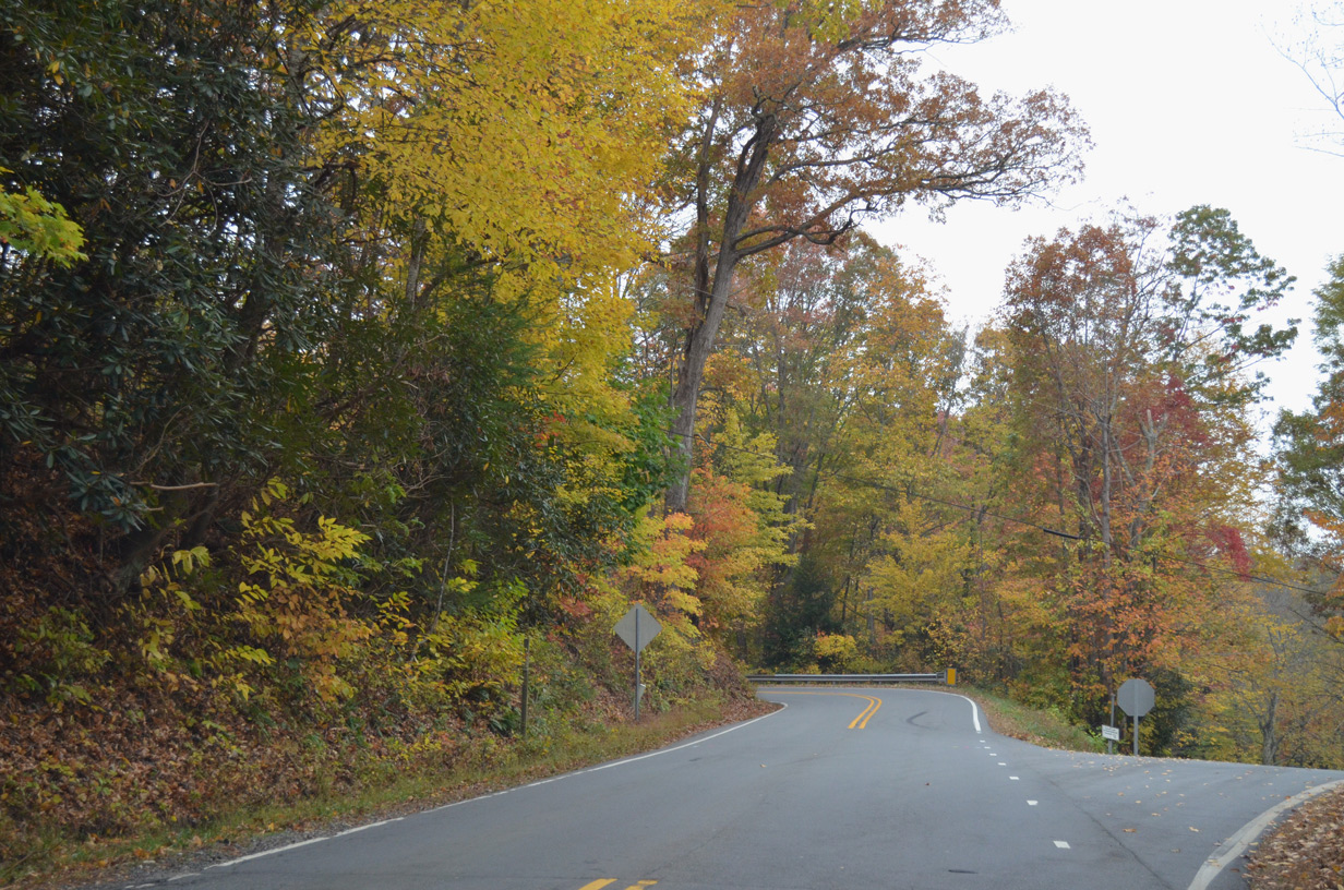
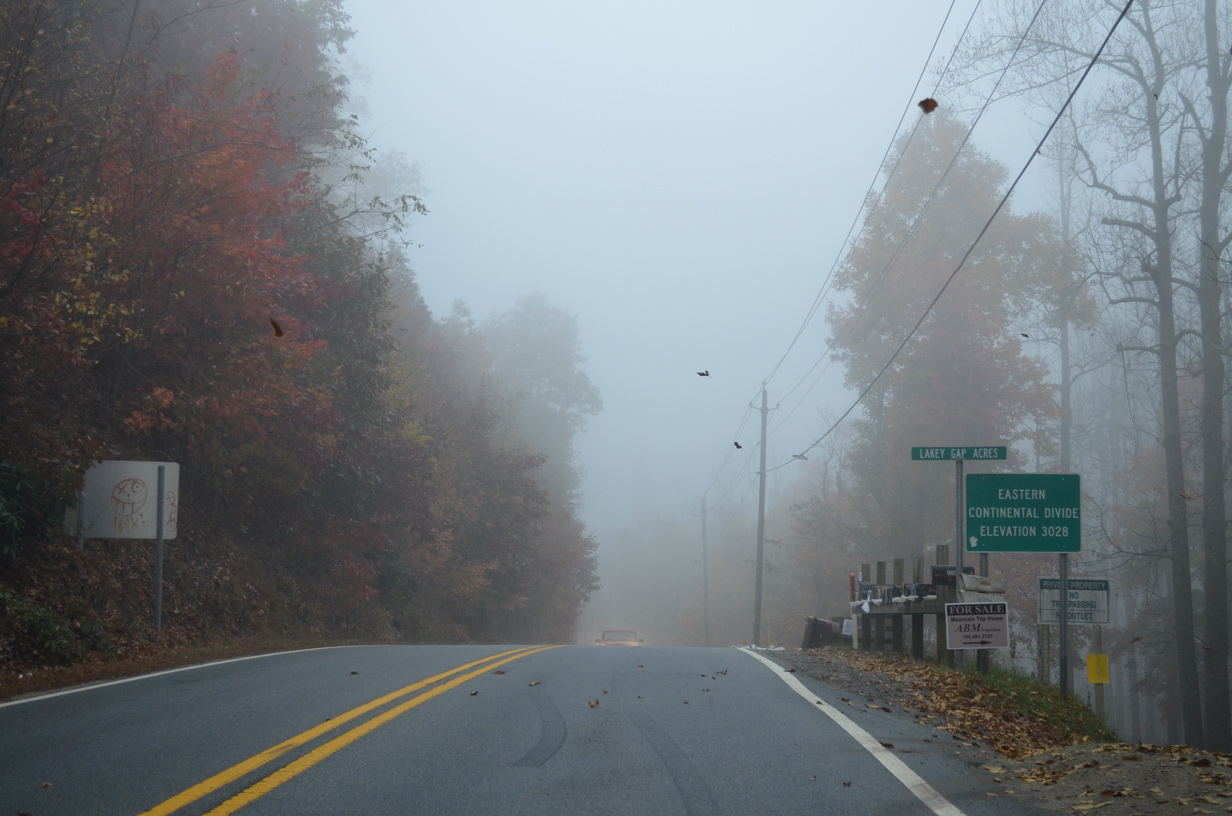
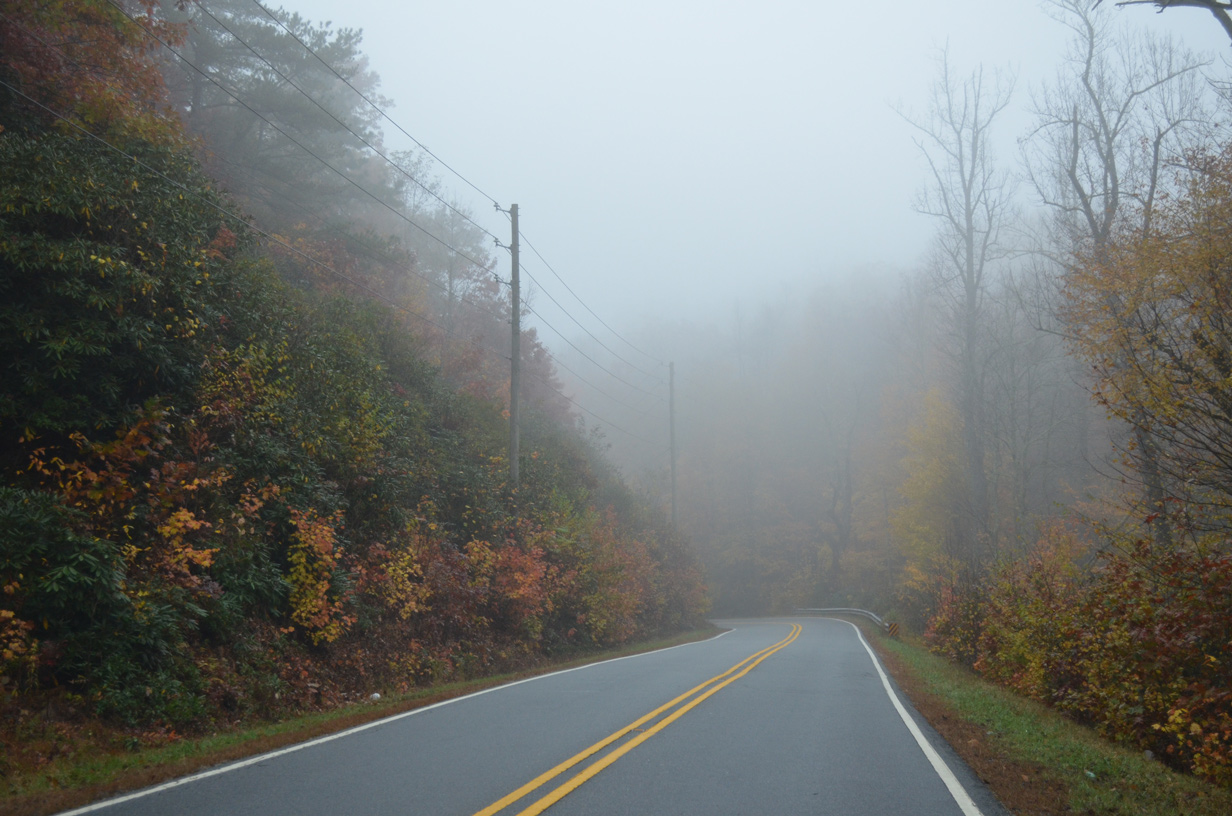
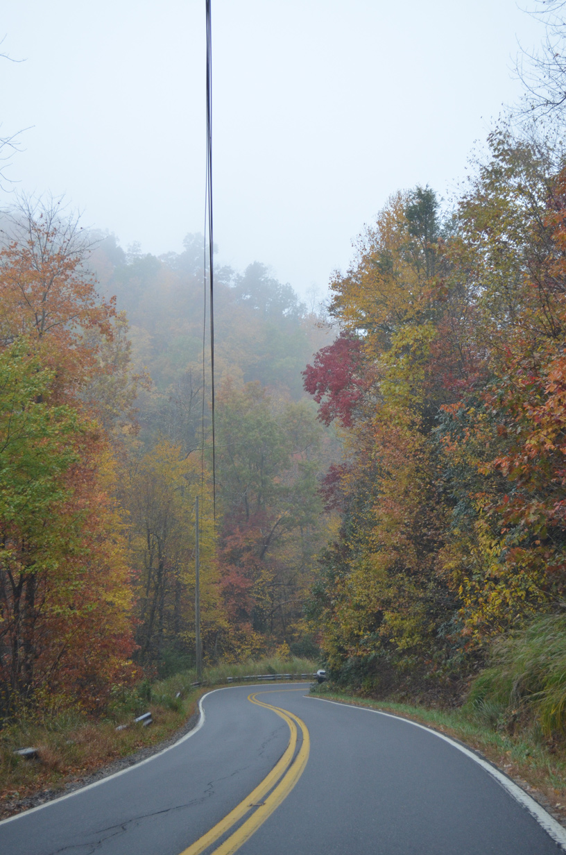
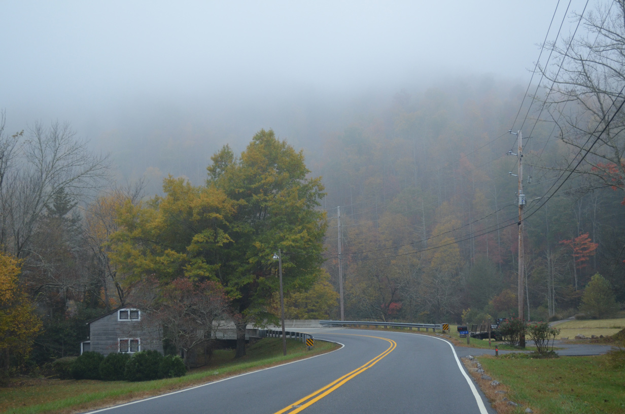
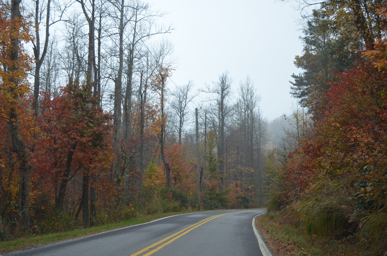
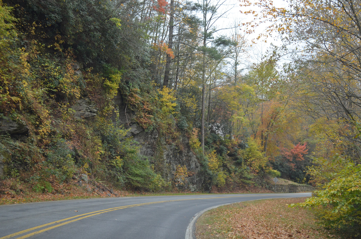
Navigating through a series of hairpin turns and switchbacks, NC 9 drops 630 feet in elevation from the Eastern Continental Divide (el. 3,028 feet) to Lakey Gap Road in the town of Black Mountain. NC 9 follows Broadway Street north to U.S. 70 (State Street) in Downtown Black Mountain, and Montreat Road north from there to the Montreat town line at Assembly Road.
10/24/15
10/24/15
10/24/15
10/24/15
10/24/15
10/24/15
10/24/15
10/24/15
10/24/15
10/24/15
10/24/15
10/24/15
10/24/15
10/24/15
10/24/15
10/24/15
10/24/15
10/24/15
10/24/15
10/24/15
10/24/15
10/24/15
10/24/15
10/24/15
10/24/15
10/24/15
10/24/15
10/24/15
10/24/15
10/24/15
10/24/15
10/24/15
10/24/15
10/24/15
10/24/15
10/24/15
10/24/15
10/24/15
 East
East 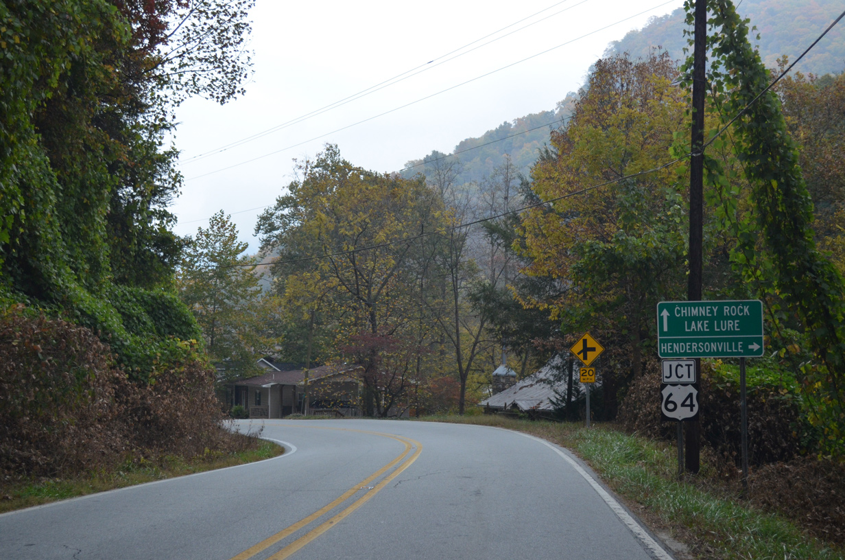
10/24/15
10/24/15
10/24/15
 East
East 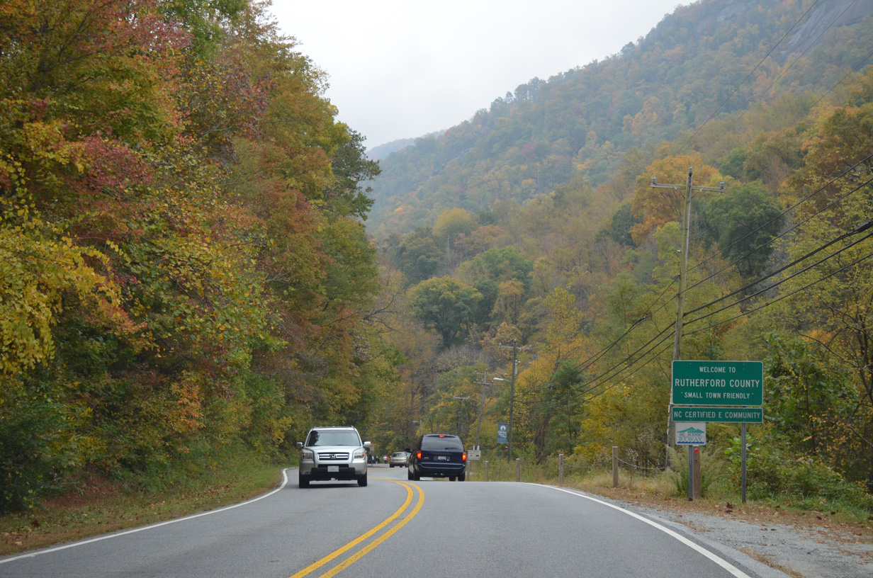
10/24/15
12/31/13
10/24/15
12/31/13
12/31/13
Photo Credits:
- Alex Nitzman: 10/24/15
- Alex Nitzman, Carter Buchanan: 12/31/13
Connect with:
Page Updated Monday May 17, 2021.