
State Route 159 - Charleston Boulevard

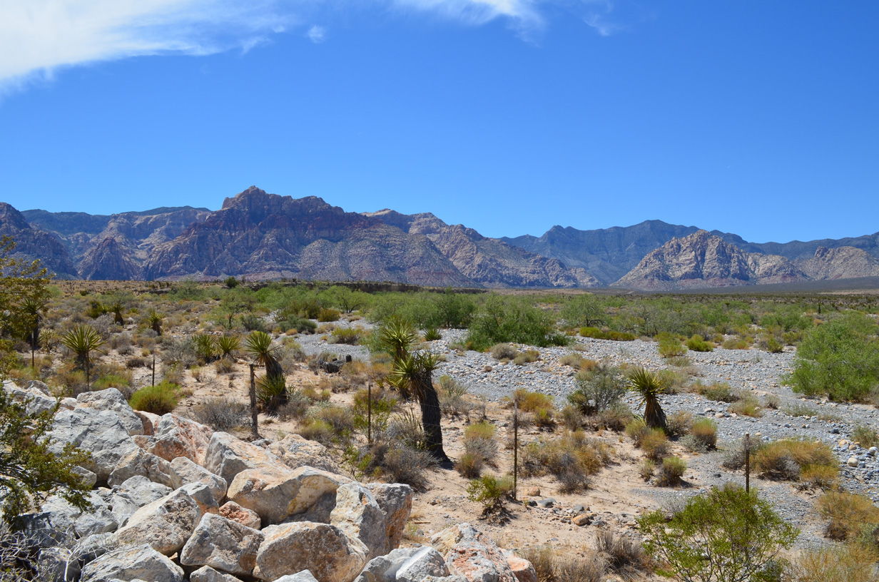


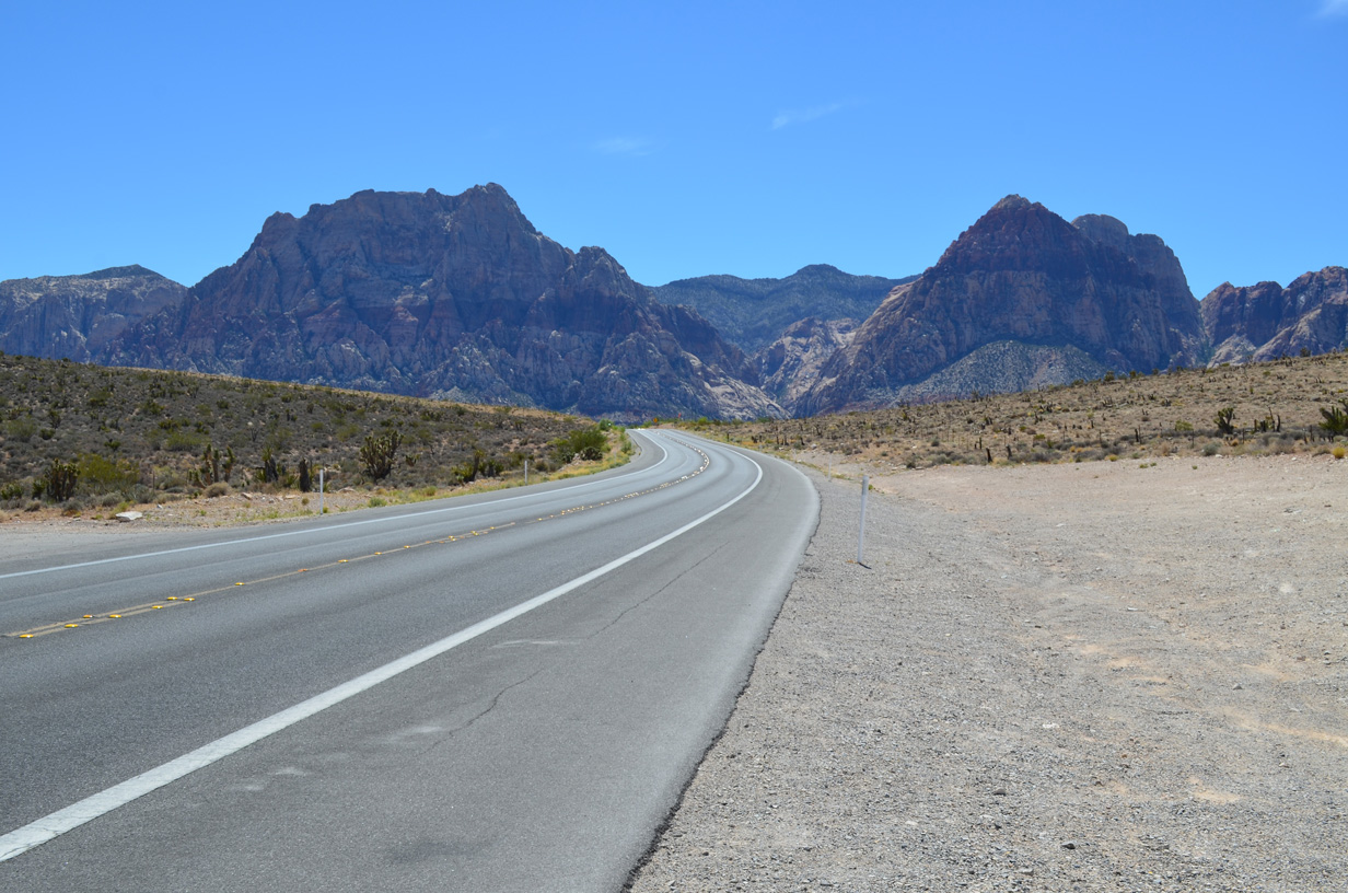

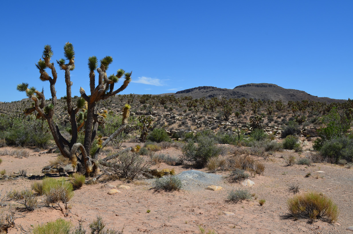
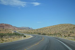
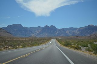
Scenes along SR 159 (Red Rock Canyon Road) through Red Rock Canyon National Conservation Area. 07/21/14
Nevada State Route 159 comprises a 15.83 mile long loop west from CC 215 (Bruce Woodbury Beltway) in Las Vegas to Red Rock Canyon National Conservation Area and south to Blue Diamond and SR 160 (Pahrump Valley Road). Beyond the turn of Charleston Boulevard onto Red Rock Canyon Road to the north, the entire length of SR 159 is a rural, two-lane highway.
Charleston Boulevard extends east from SR 159 at CC-215 across the city of Las Vegas as an urban arterial. Prior to 2019, SR 159 continued along all of Charleston Boulevard east to SR 612 (Nellis Boulevard). That year NDOT relinquished 13.59 miles of the route, leaving a 0.337 mile long section between Martin Luther King Boulevard and Commerce Street, and a 3.01 mile long stretch of Charleston Boulevard from 25th Street east to SR 612.
Nevada State Route 159 Guides
East / North - 52 photos
West / South - 67 photos
The 2020 NDOT State Maintained Highways log inventoried the eastern section of SR 159 along Charleston Boulevard from Fremont Street (then-SR 582) east 2.354 miles to SR 612 (Nellis Boulevard). This changed again by the 2025 edition, with 3.01 miles inventoried along Charleston Boulevard between N 25th Street and Nellis Boulevard).
Connect with:
Page Updated Thursday October 30, 2025.