SR 612 overlays 9.40 miles of Nellis Boulevard north from SR 593 (Tropicana Avenue) at Whitney to SR 604 (North Las Vegas Boulevard). The four to six lane arterial travels almost entirely within the unincorporated Sunrise Manor area, straddling the east Las Vegas city line from Charleston Boulevard (SR 159 west) to Owens Avenue. The northernmost 1.25 miles of SR 612 run along the western boundary of Nellis Air Force Base.
The Northeast Interceptor Project installed new sanitary sewer pipeline along a 2.5 mile stretch of Nellis Boulevard between SR 574 (Cheyenne Avenue) and SR 604. Work ran from August 9, 2017 to July 2018. The $14.5 million project reduced the six-lane arterial two one lane per direction at times during construction (NDOT, 2017).

Nellis Boulevard - North

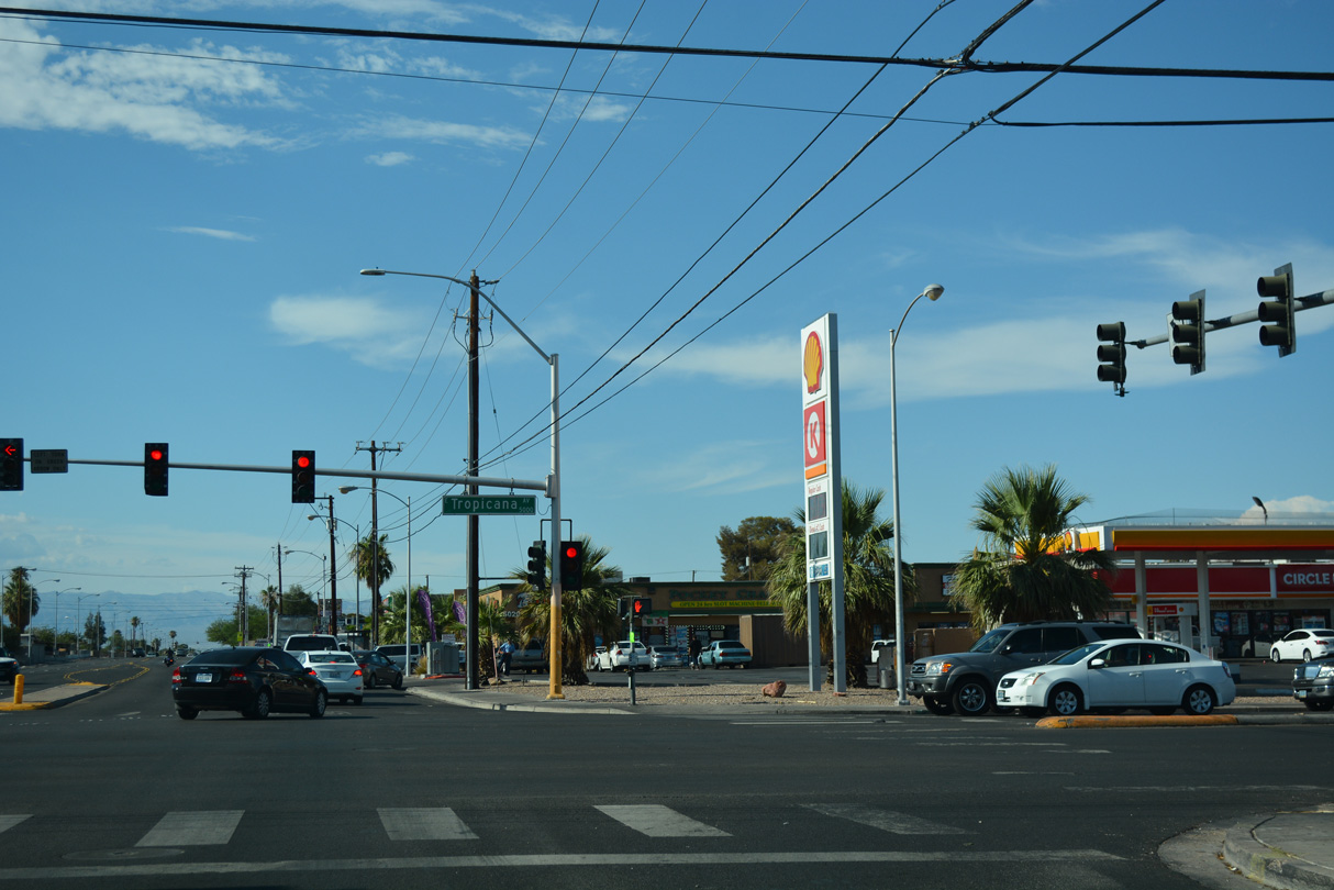
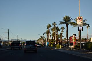
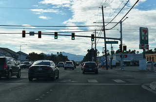
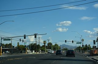
Nellis Boulevard extends 0.9 miles north from Russell Road to become part of Nevada State Route 612 at Tropicana Avenue (SR 593).
07/15/18
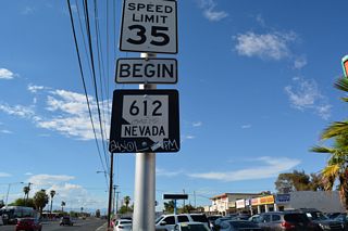
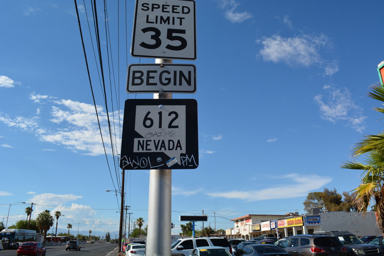
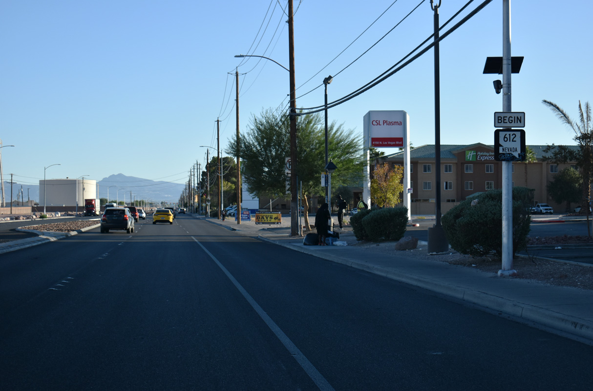
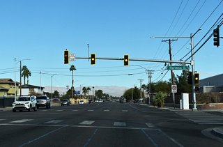
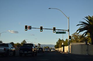
A begin SR 612 shield appears north of SR 593 (Tropicana Avenue) along Nellis Boulevard.
11/23/25

The previous begin shield assembly for SR 612.
07/15/18
11/23/25
11/23/25
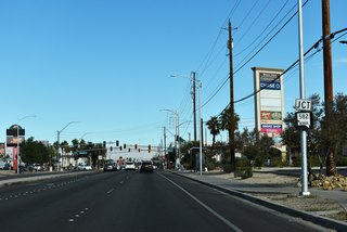
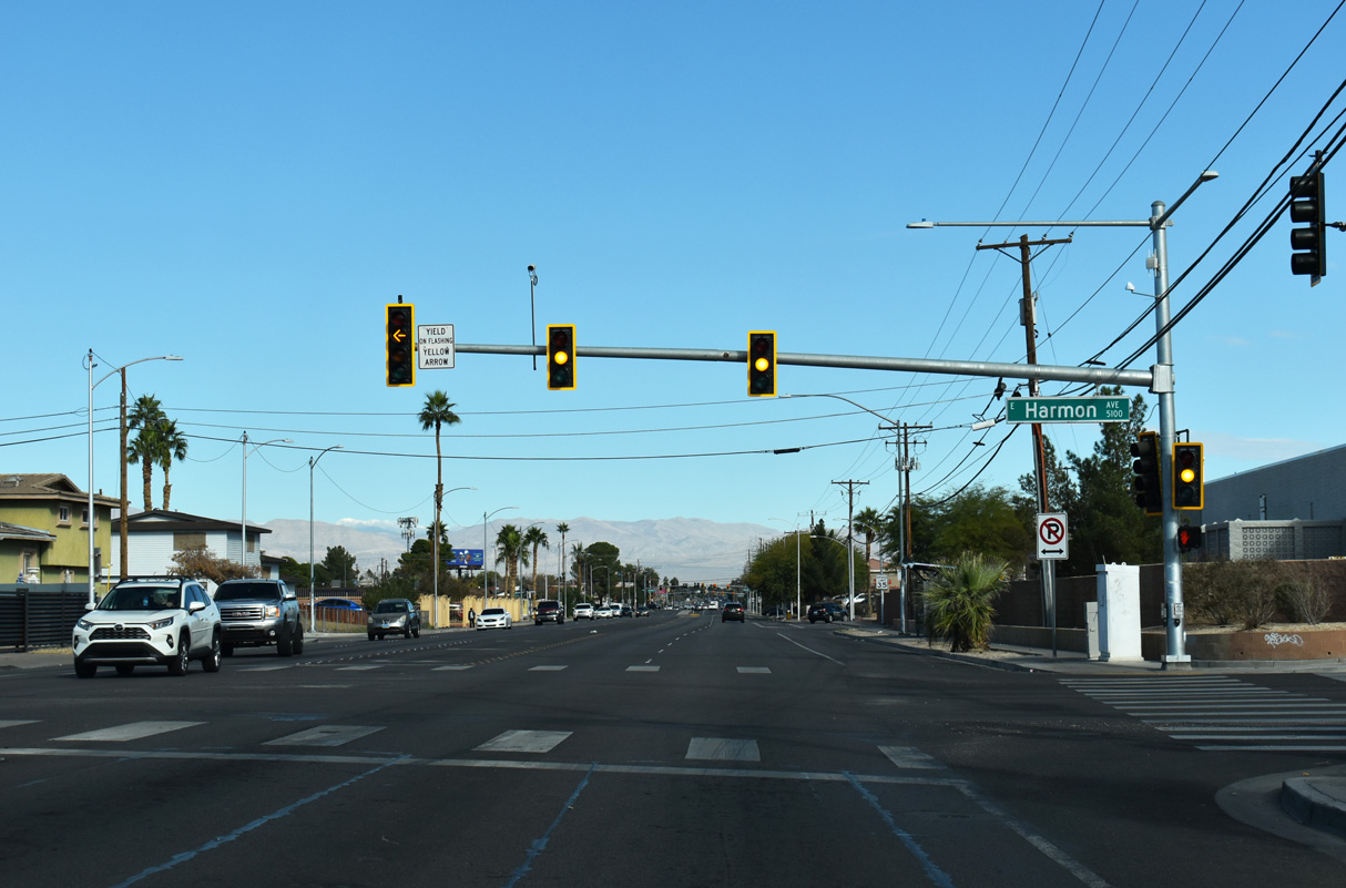
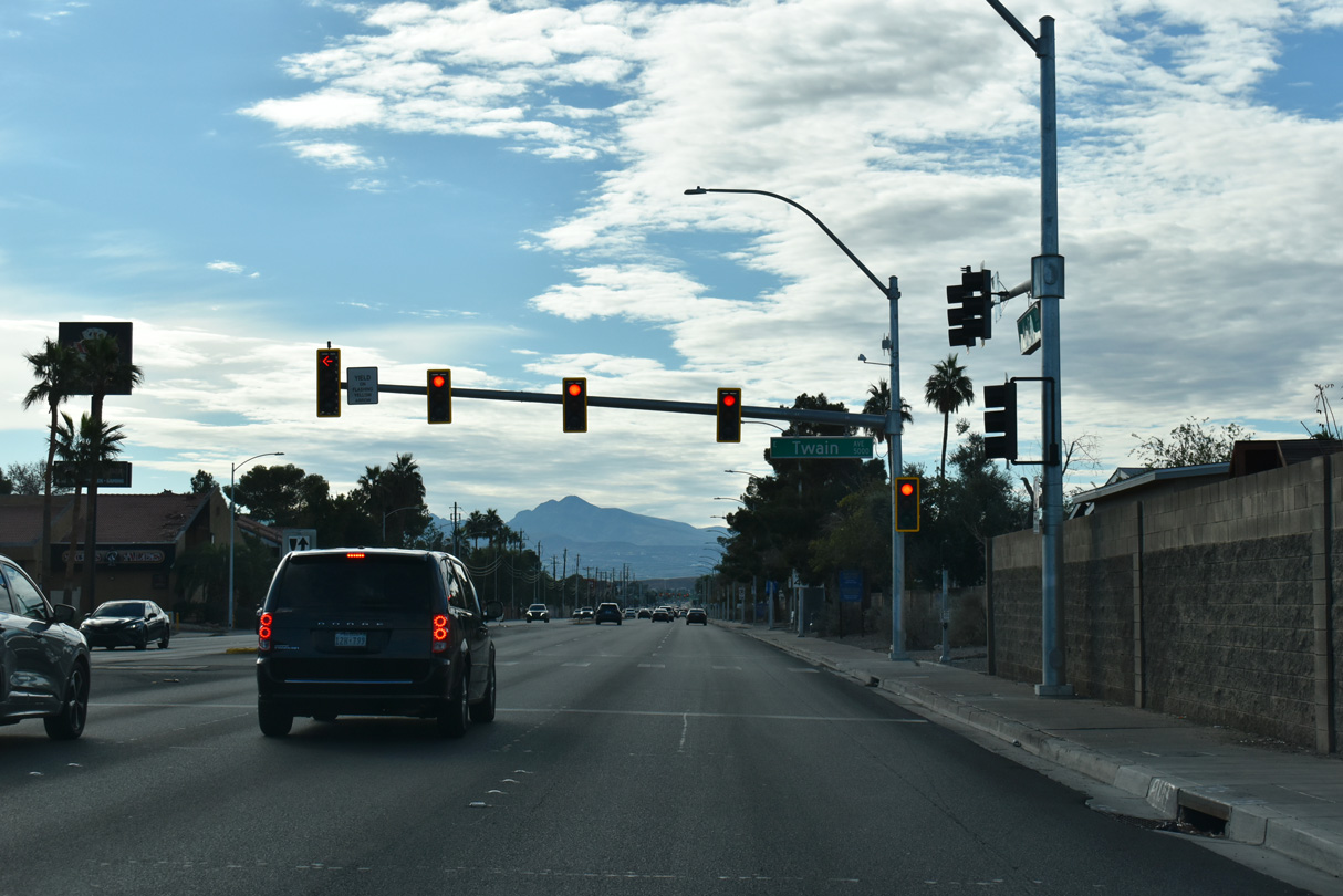
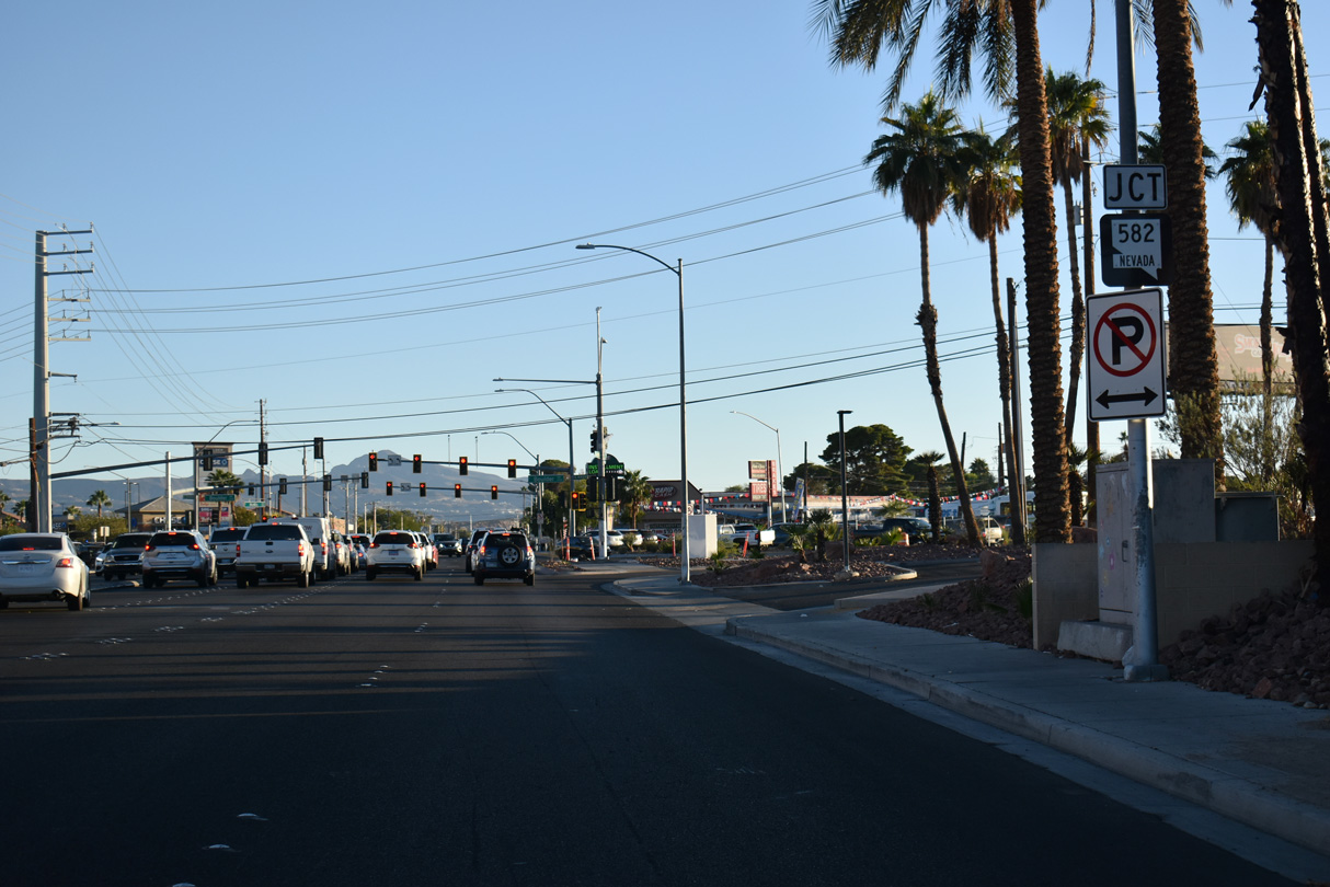
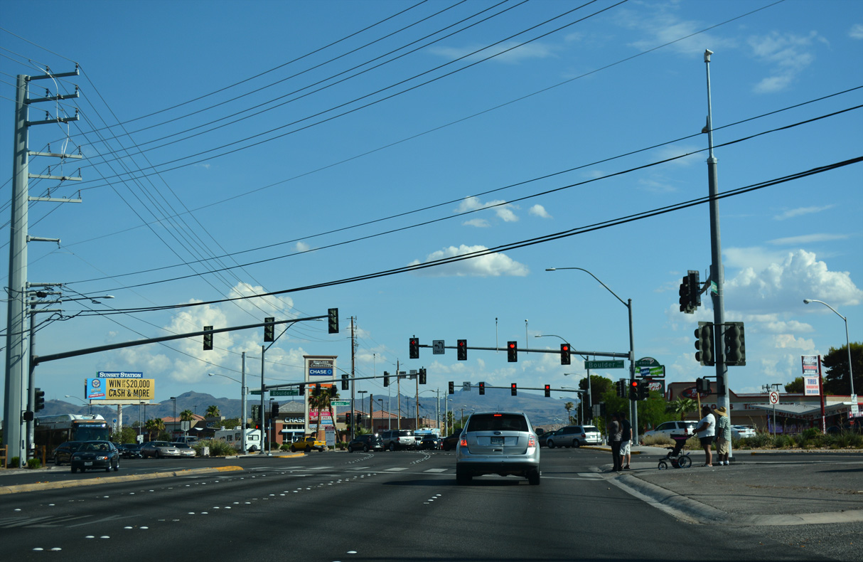
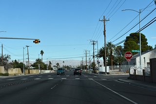
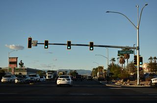
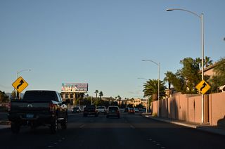
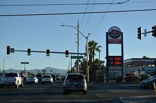
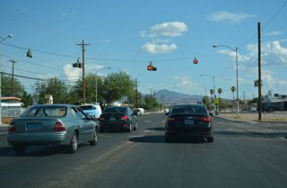
North from Harmon Avenue, SR 612 (Nellis Boulevard) next meets SR 582 (Boulder Highway) ahead of Flamingo Road.
11/23/25
11/23/25

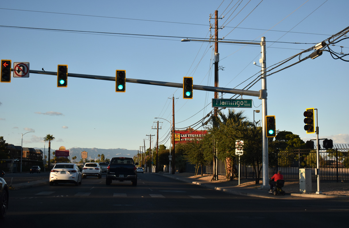
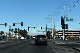
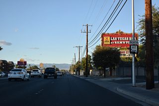
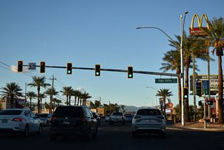
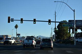
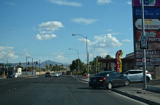
Nellis Boulevard intersects Flamingo Road to the immediate north of Boulder Highway adjacent to Sam's Town casino. Flamingo Road is SR 592 west from SR 582 (Boulder Highway).
10/23/25
SR 612 reassurance marker posted north of Flamingo Road.
10/23/25
10/23/25
10/23/25
10/23/25
10/23/25

10/23/25
10/23/25
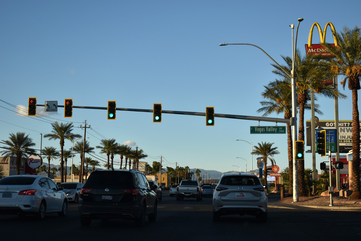
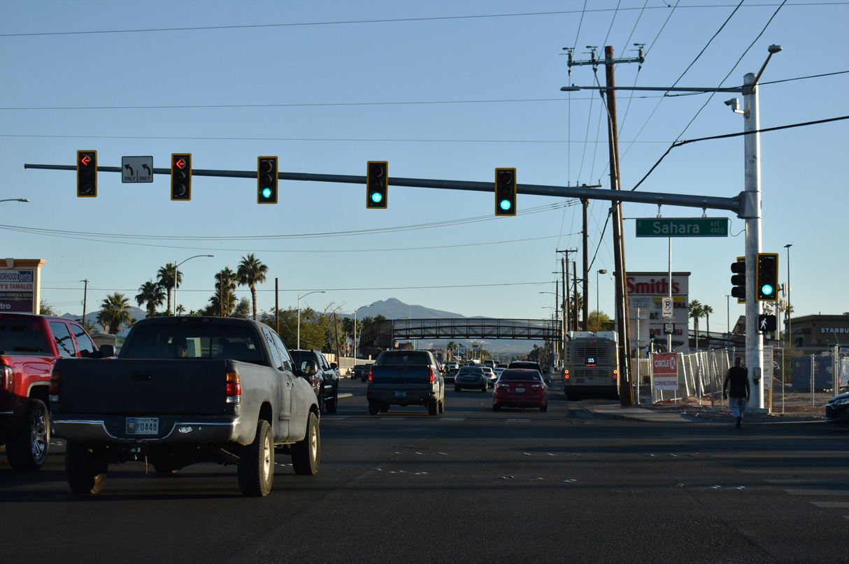
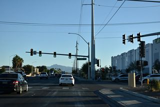
Nellis Boulevard shifts eastward through an S-curve from ahead of Wyoming Avenue to Charleston Boulevard.
10/23/25
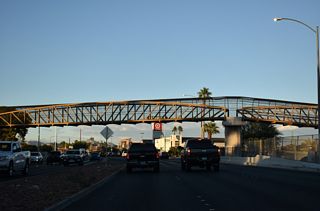
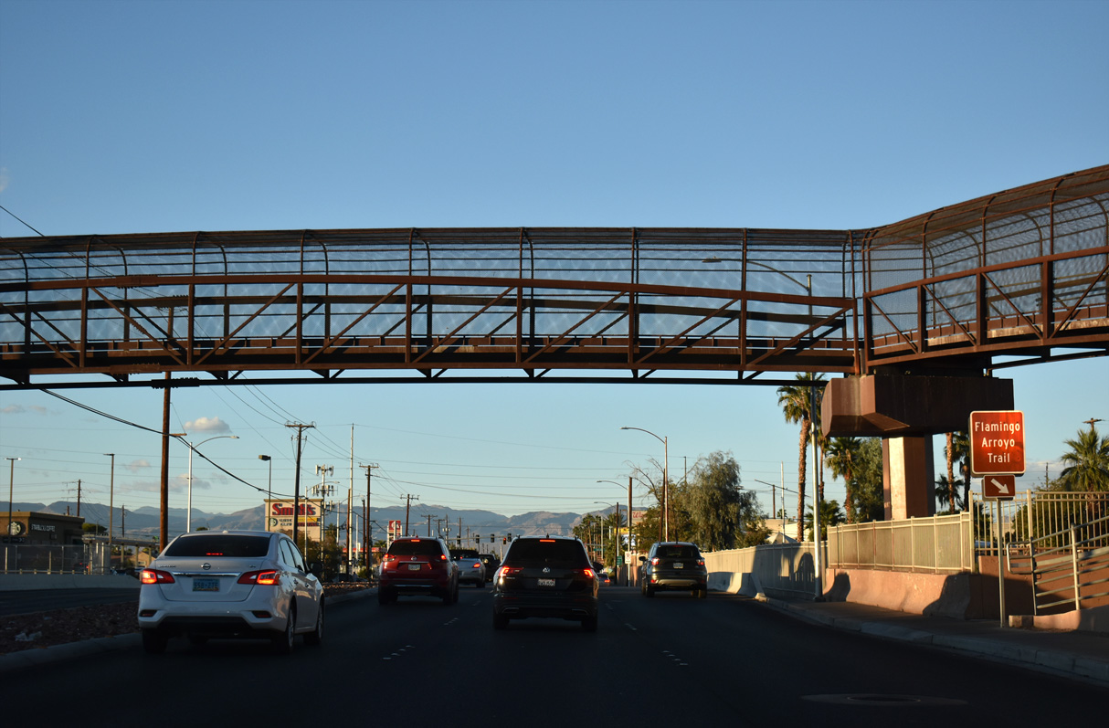
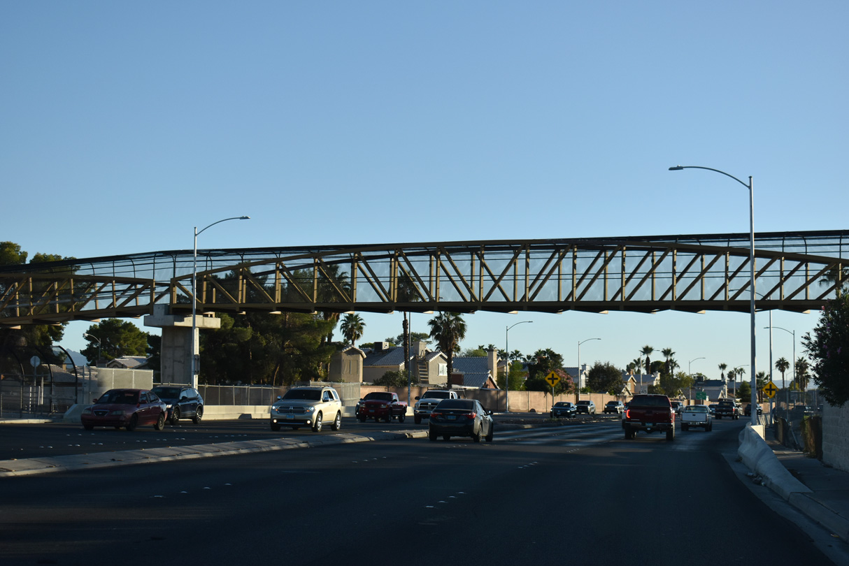
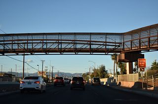
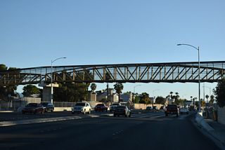
The Las Vegas Wash Trail spans SR 612 where Nellis Boulevard crosses Las Vegas Wash.
10/23/25

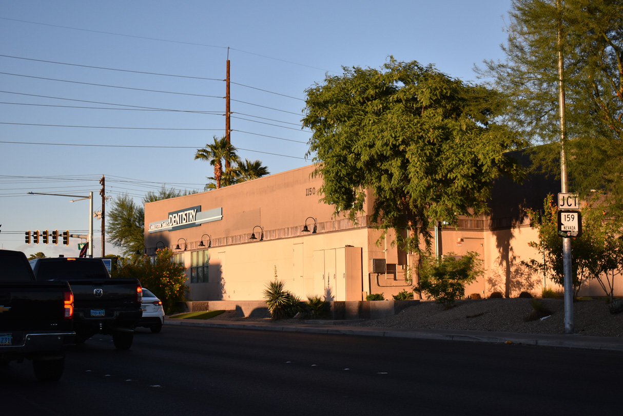
The east end of SR 159 ties into SR 612 (Nellis Boulevard). SR 159 lines Charleston Boulevard west to SR 582 (Boulder Highway) in Las Vegas.
10/23/25
10/23/25

Confirming marker for SR 612 north posted beyond the intersection with SR 159 (Charleston Boulevard).
07/21/14
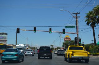
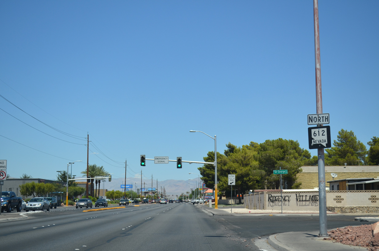
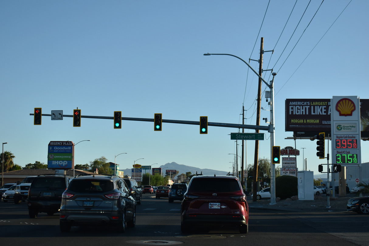
Northbound SR 612 at Stewart Road. The four lane arterial leads west to the Metropolitan Park and Stewart Place neighborhoods of east Las Vegas. East as a five lane boulevard, Stewart Road continues by a pair of apartment complexes and the Regency Village and Ponderosa Plaza subdivisions.
07/21/14

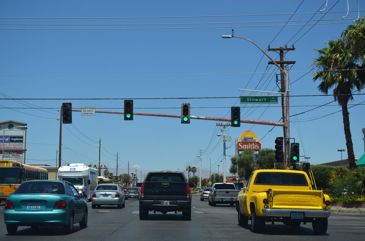
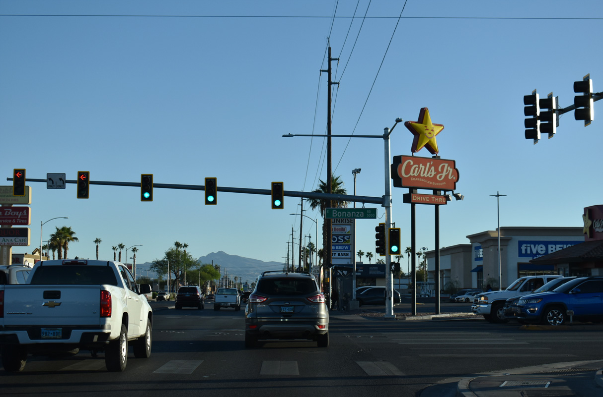
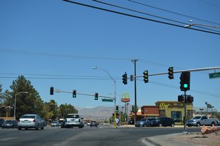
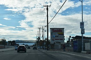
Advancing a half mile north, Nellis Boulevard remains commercialized to Bonanza Road. Bonanza Road leads west through Las Vegas to become SR 579 just north of I-11/U.S. 93-95 and Downtown.
07/21/14

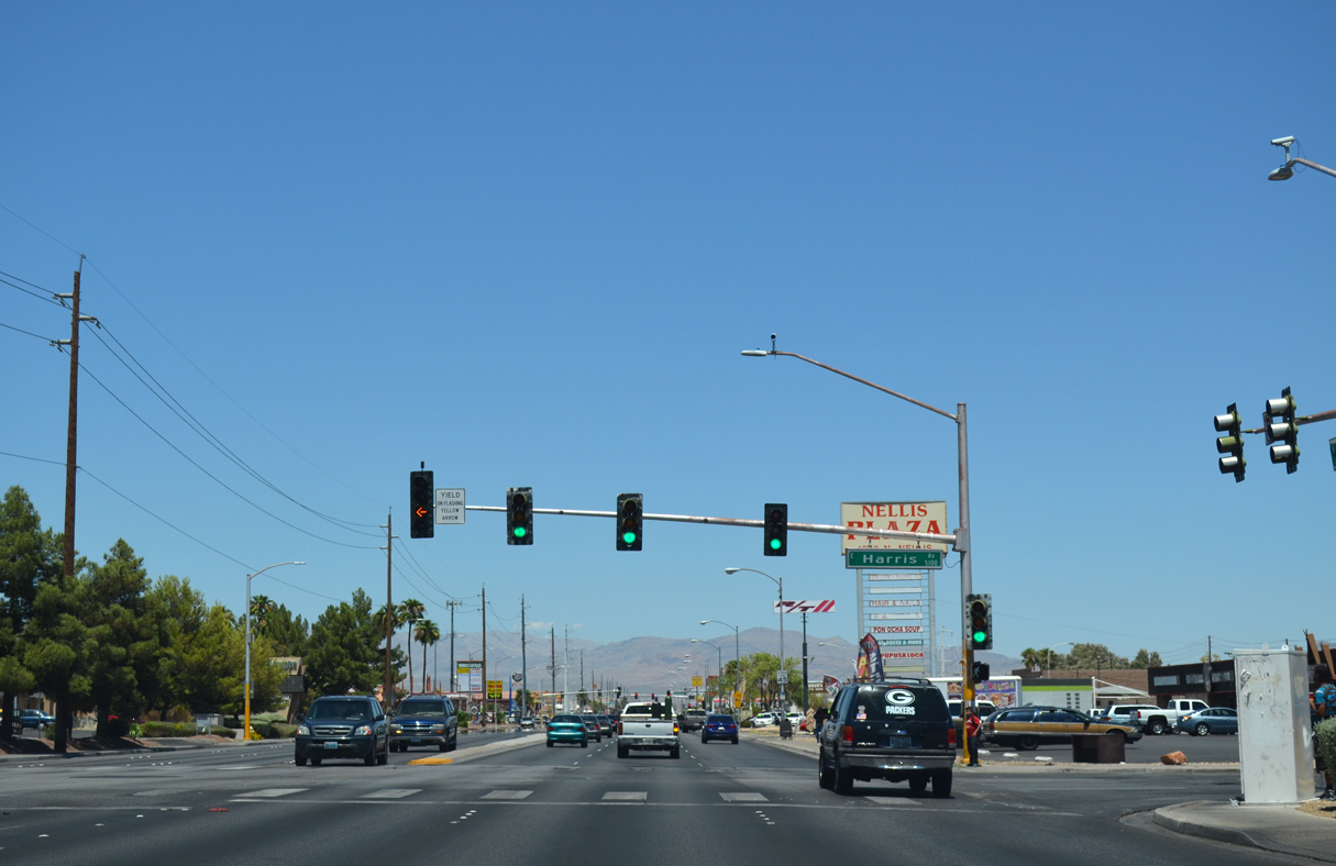
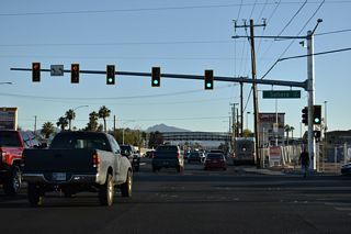
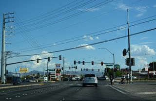
The traffic lights at Harris Avenue serve schools located both west and east of Nellis Boulevard.
07/21/14
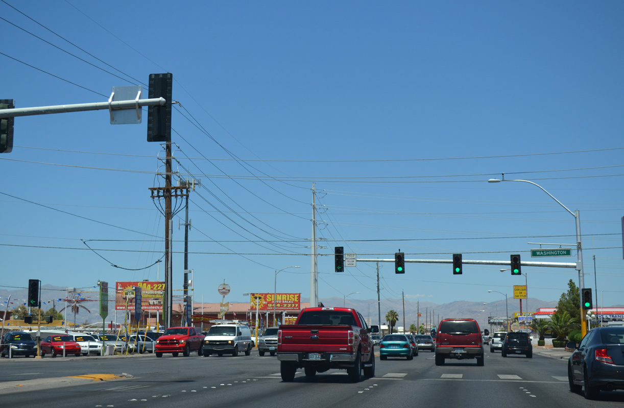
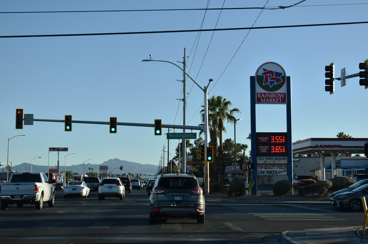
The succeeding signal operates along Nellis Boulevard north at Washington Avenue. Washington Avenue heads east to the Hollywood Highlands development in Sunrise Manor and west to Washington Square, College Park, and Gary Reese Freedom Park in Las Vegas.
07/21/14
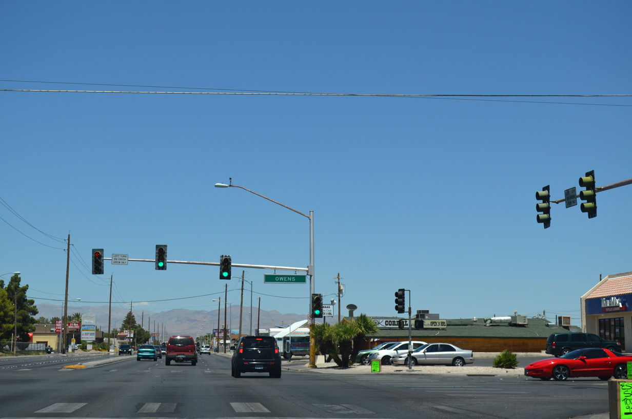
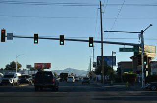
SR 612 (Nellis Boulevard) intersects Owens Avenue at the northeast corner of the eastern Las Vegas city limits. Owens Avenue runs along the city line west to Pecos Road and North Las Vegas. The arterial continues on the city boundary from there to I-15.
07/21/14
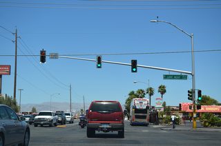
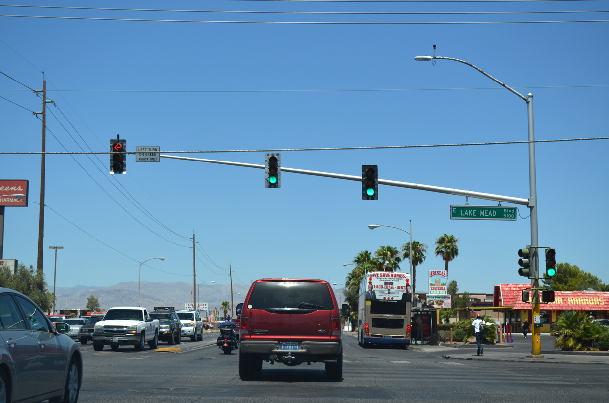
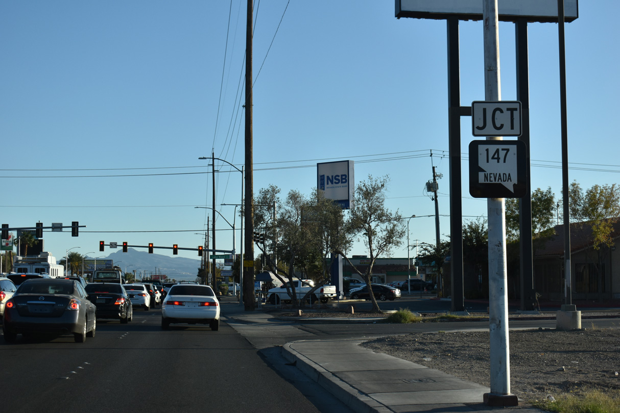
Lake Mead Boulevard extends west from Nellis Boulevard 4.5 miles to Losee Road beyond I-15 and east 10 miles through Sunrise Manor to Sunrise Mountain Natural Area and the entrance to Lake Mead National Recreation Area. SR 147 follows Lake Mead Boulevard west to Pecos Road and the North Las Vegas city line.
07/21/14
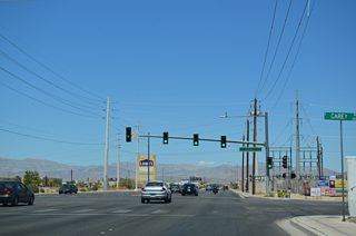
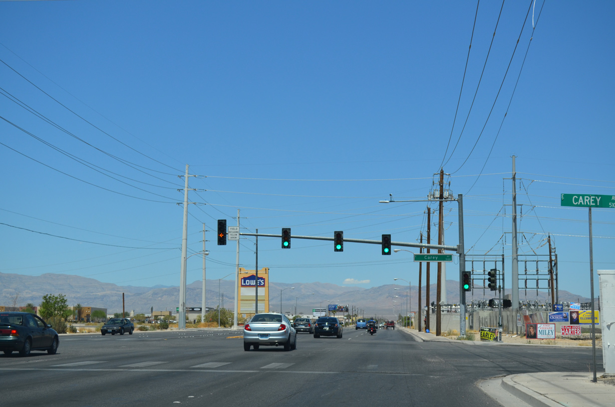
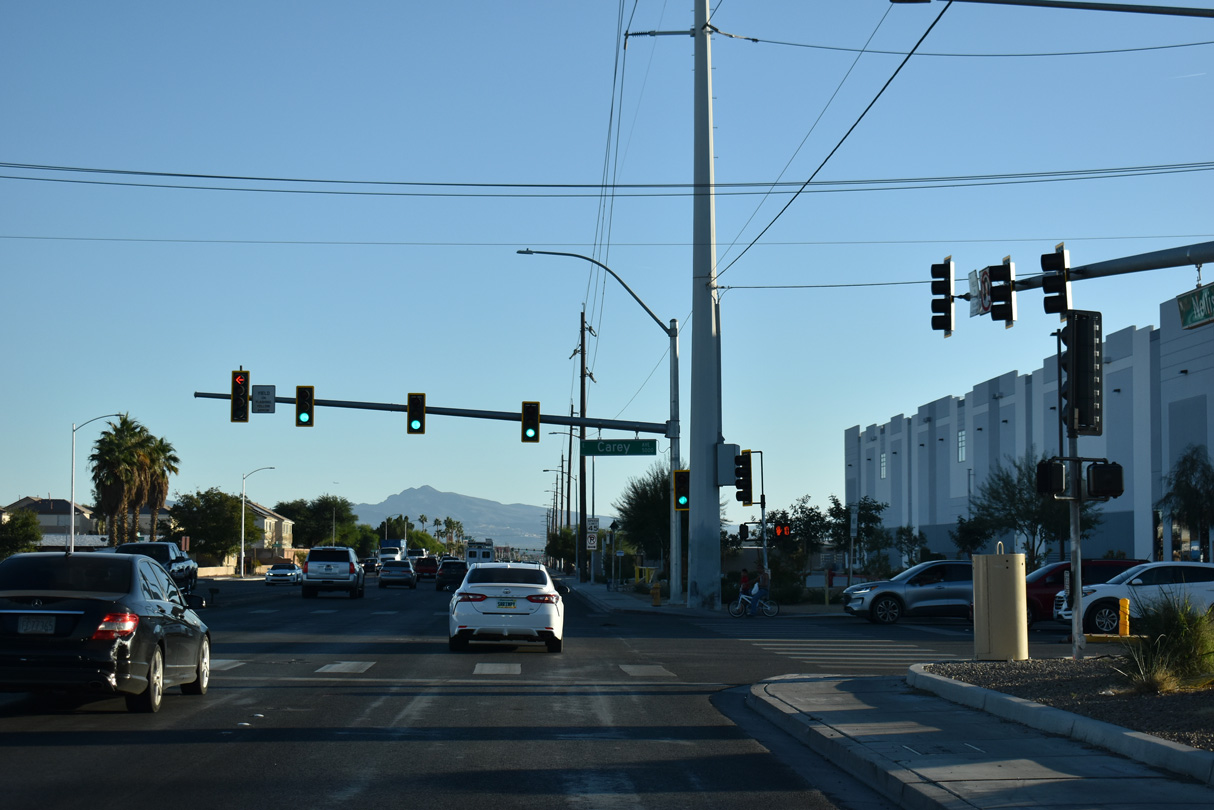
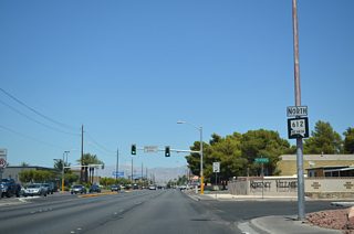
Continuing a half mile north from SR 147 (Lake Mead Boulevard), SR 612 intersects Carey Avenue.
07/21/14
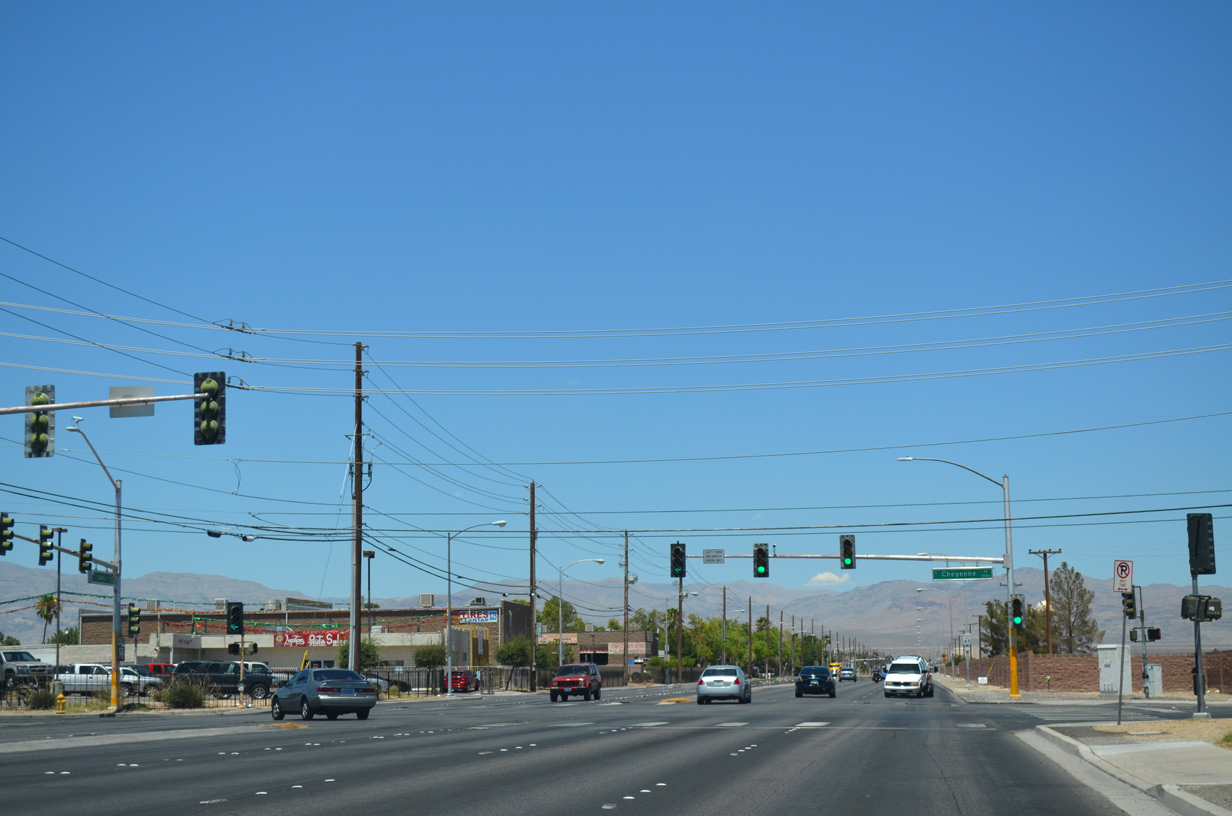
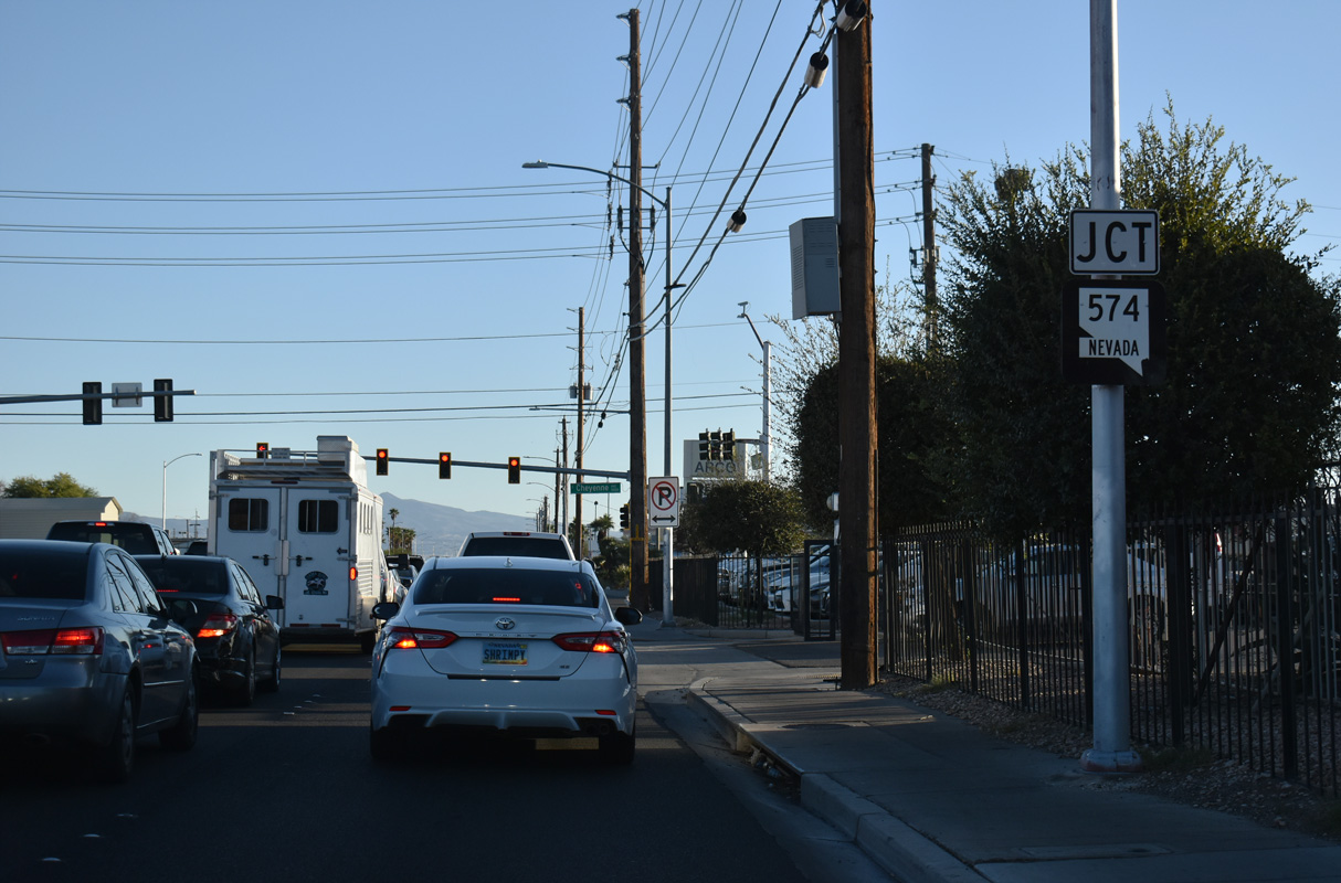
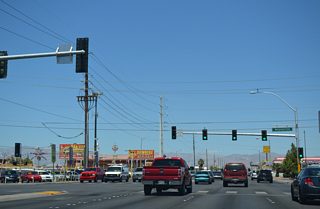
Nellis Avenue travels through an industrial area to Cheyenne Avenue. Cheyenne Avenue is SR 574 west 8.12 miles through North Las Vegas to Decatur Boulevard and the Las Vegas city line.
10/20/25
A confirming marker for SR 612 was added along Nellis Boulevard north of SR 574 (Cheyenne Avenue) in 2023.
10/20/25
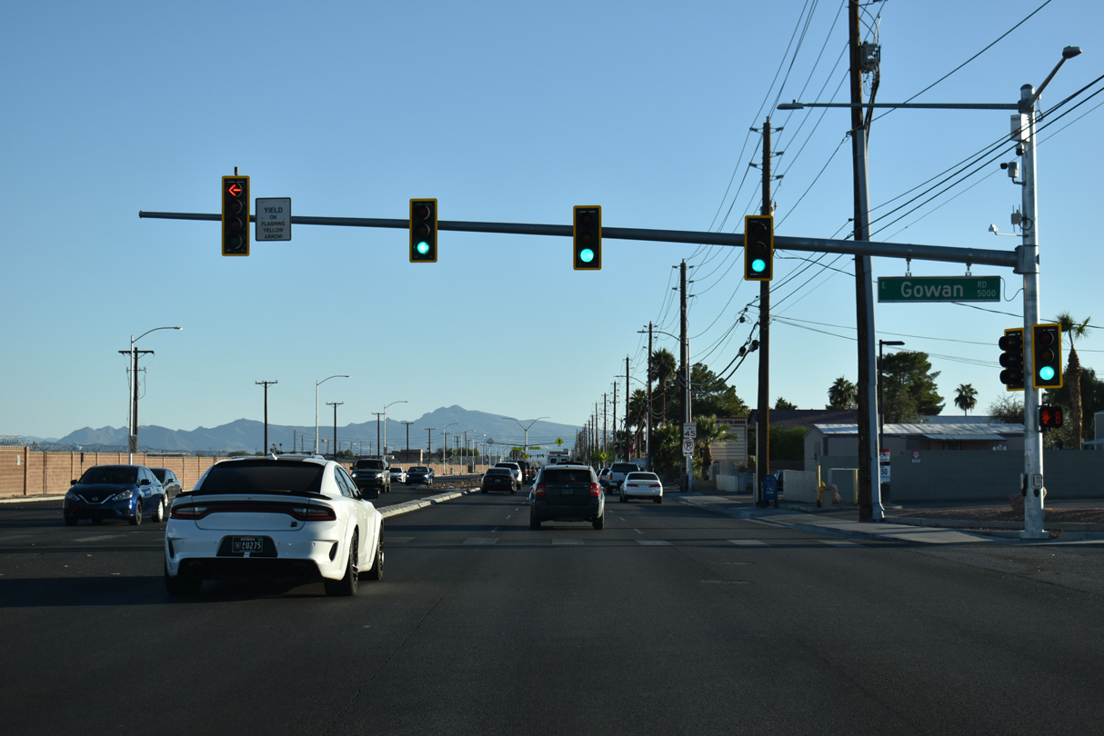
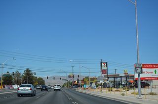
SR 612 (Nellis Boulevard) intersects Gowan Road west at the Tyndall Avenue entrance to Nellis Air Force Base.
10/20/25
Las Vegas Boulevard (SR 604) angles southwest into North Las Vegas and northeast along the boundary of Nellis AFB to Las Vegas Motor Speedway. SR 604 extends south to Carey Avenue and north to I-15/U.S. 93 near Apex.
10/20/25
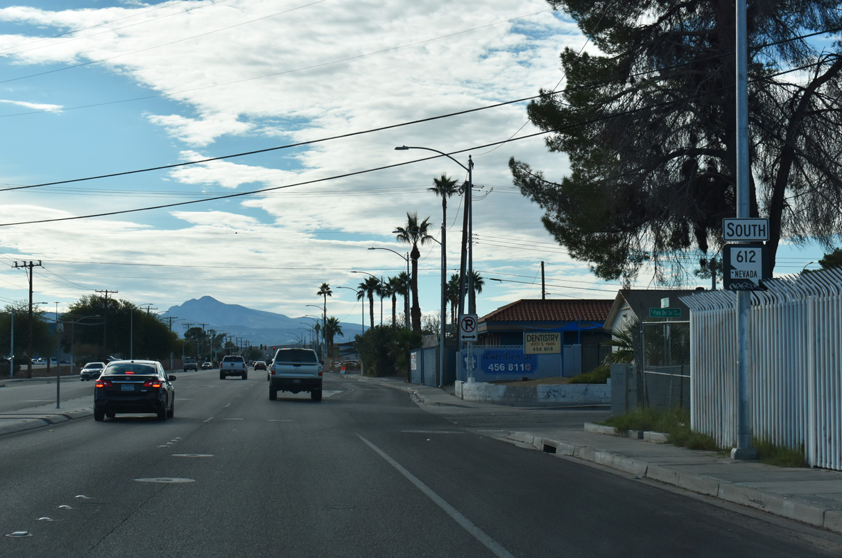
SR 612 concludes with an end shield at N Las Vegas Boulevard (historic U.S. 91-93).
10/20/25
Nellis Boulevard - South

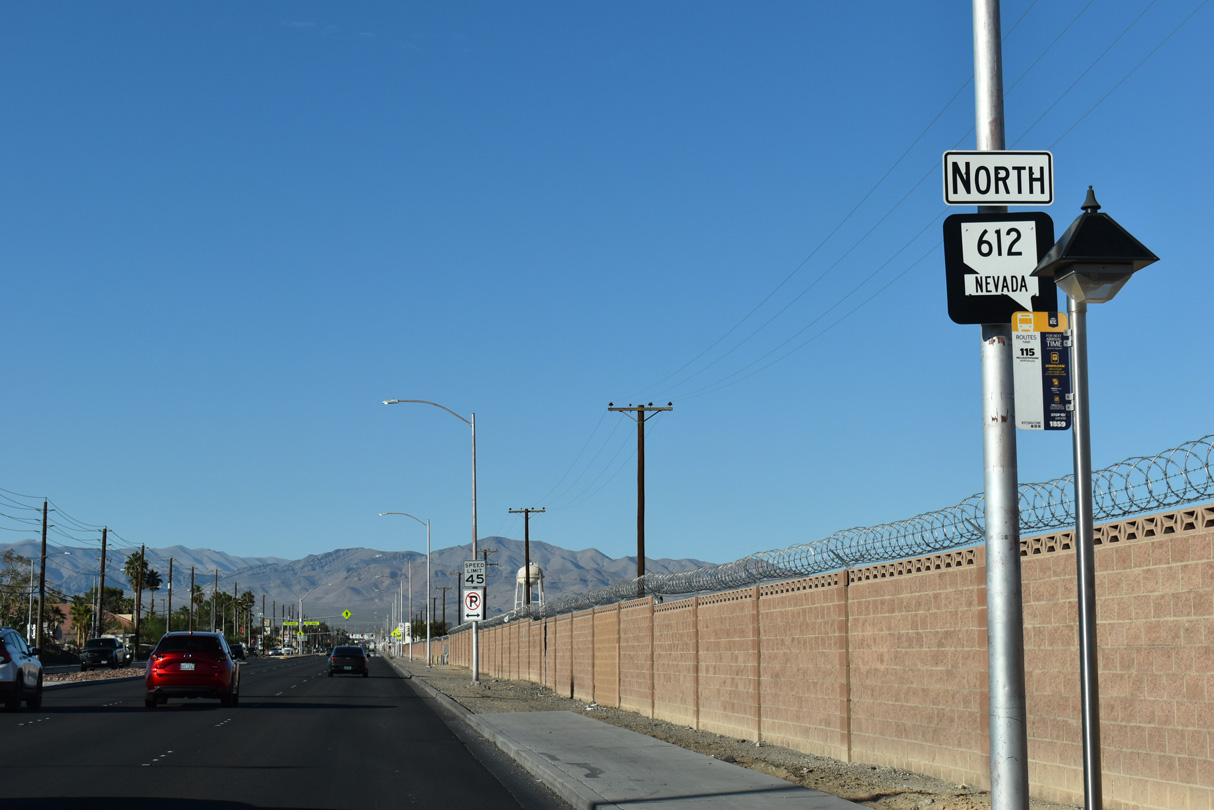
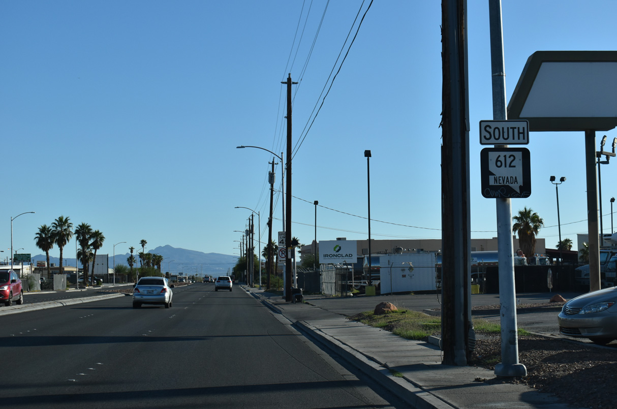
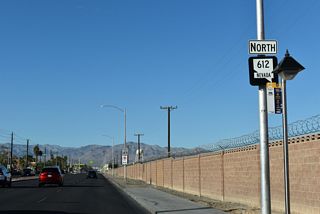
SR 612 commences south from SR 604 (Las Vegas Boulevard) with a begin shield.
10/20/25

10/20/25

10/20/25

10/20/25

10/20/25
10/20/25

Lake Mead Boulevard is SR 147 east from Pecos Road and the North Las Vegas city line to the North Entrance of Lake Mead national Recreation Area.
10/20/25
10/20/25
10/20/25
10/20/25
10/20/25
10/20/25

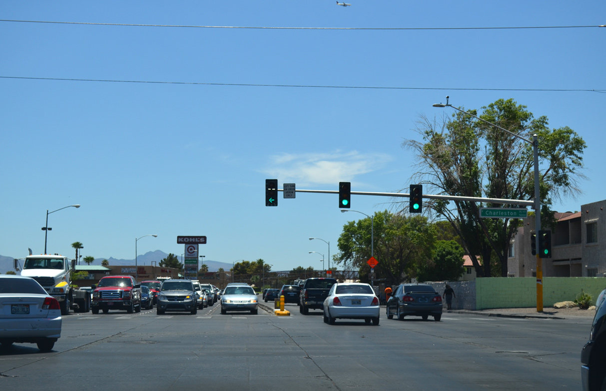
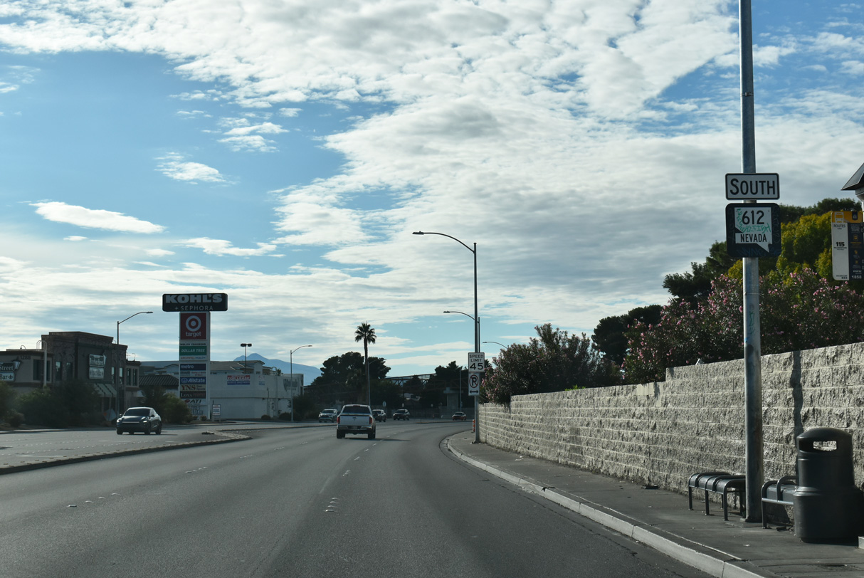
SR 612 (Nellis Boulevard) intersects the east end of SR 159 (Charleston Boulevard). Charleston Boulevard runs west along the Las Vegas city line between the Pinewood and Vegas Manor neighborhoods to I-11/U.S. 93-95 and areas south of Downtown.
10/20/25
11/23/25
10/20/25
10/20/25
11/23/25
11/23/25
11/23/25

11/23/25
11/23/25

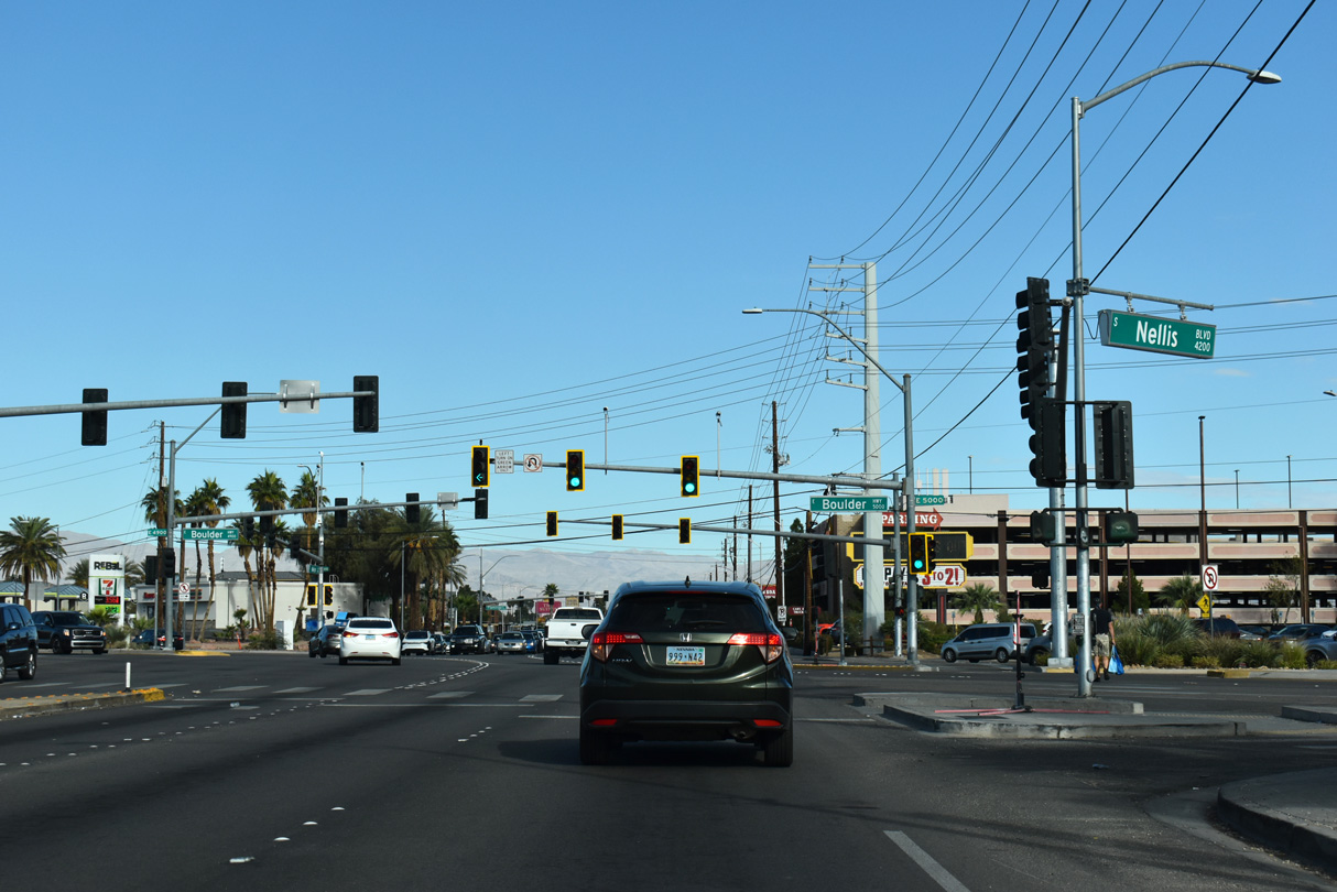
SR 612 (Nellis Boulevard) south at SR 582 (Boulder Highway).
10/20/25
SR 582 lines the former route of U.S. 93/95 northwest to SR 159 (Charleston Boulevard) and southeast to Henderson.
11/23/25

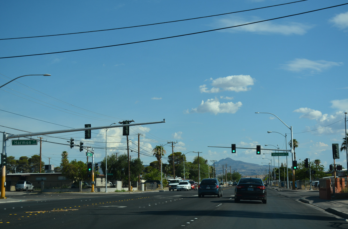
Nellis Boulevard advances south from Boulder Highway to Harmon Avenue.
11/23/25
11/23/25
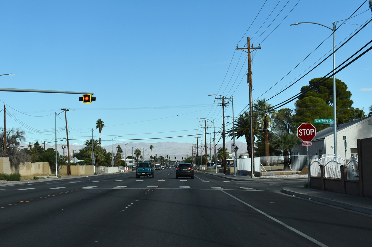
Flashers operate at the four-way stop sign intersection joining Nellis Boulevard with Sun Valley Drive near Ullom Elementary School.
11/23/25
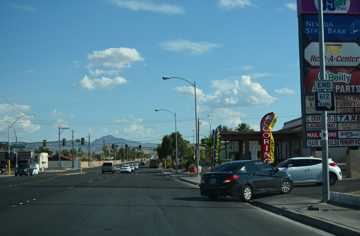
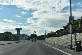
SR 612 concludes south along Nellis Boulevard at Tropicana Avenue (SR 593). The end shield was gone by 2023.
11/23/25
References:
Nevada Department of Transportation. (2017, August 4). Nellis Boulevard Sewer Upgrades, Traffic Restrictions Start August 9 in North Las Vegas. News Releases. https://www.dot.nv.gov/doing-business/news/news-releases/-item-1098/-cftype-BM96CDA0
Page Updated Saturday November 29, 2025.