
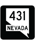
State Route 431
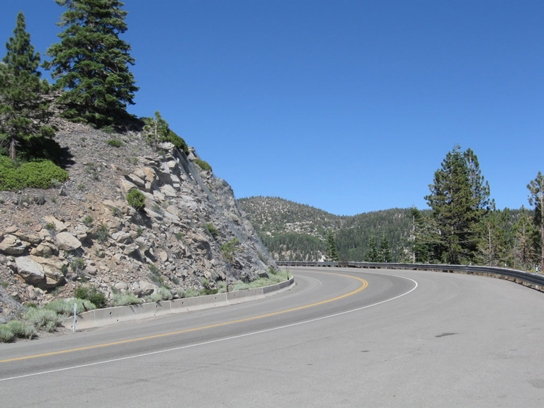
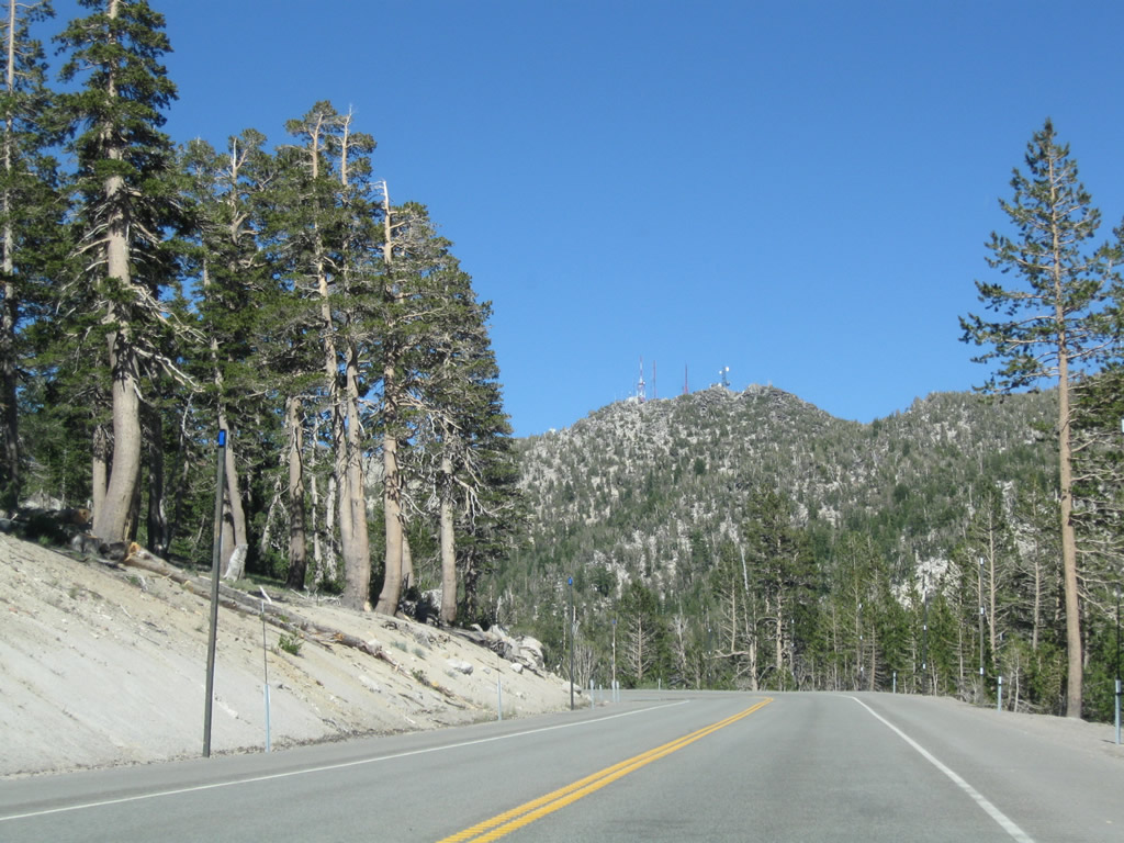
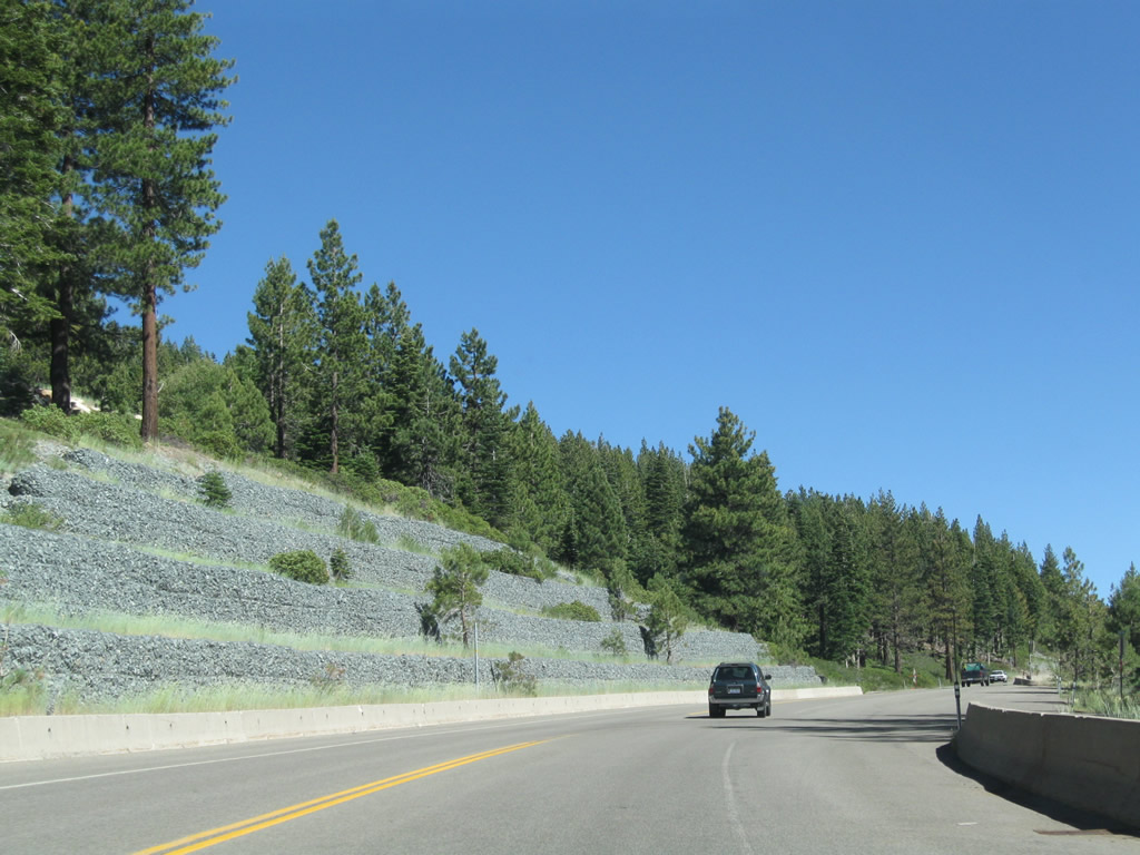
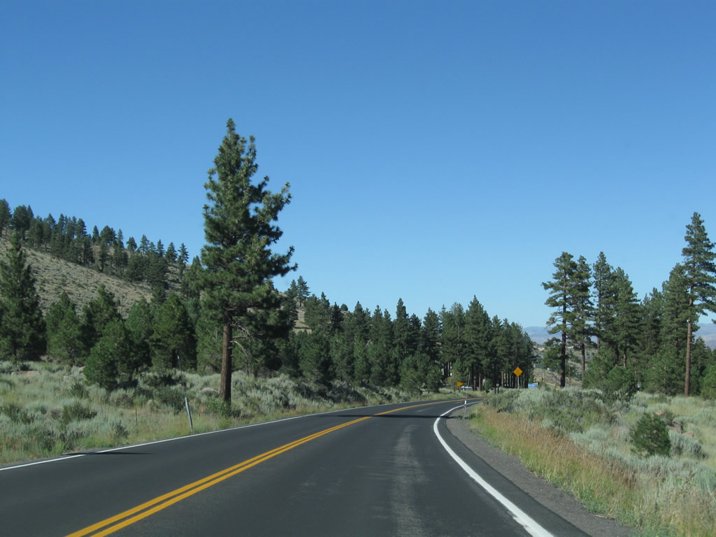
This view looks north on SR 431 as Mount Rose Highway climbs into the Carson Range from the Tahoe Basin toward Mount Rose Summit. - 07/21/2009
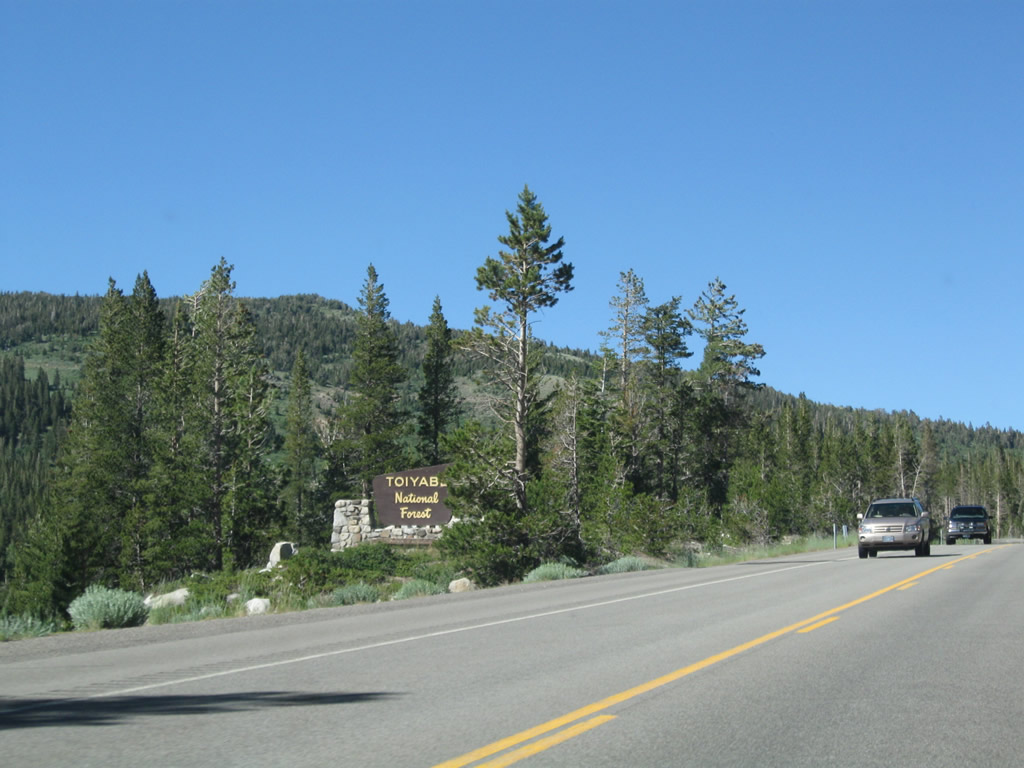
Nevada State Route 431 connects Mount Rose Junction, where U.S. 395 ALT and SR 341 meet in south Reno, with Multi State Route 28 at Incline Village by Lake Tahoe. The state route traverses the Carson Range north from the Tahoe Basin through Toiyabe National Forest. Mount Rose Summit lies north of Tahoe Meadows and west of Slide Mountain midway across the Carson Range.
The first northbound reassurance shield for Nevada 431 is posted in Incline Village after the Nevada 28 intersection.
07/21/09

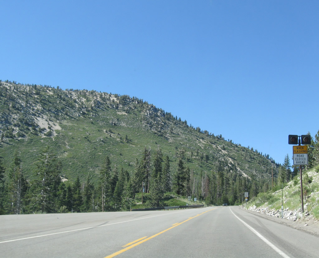
While the intent is to keep Nevada 431 open year round, there are storms and other incidents that may result in closure of this scenic mountain drive. During those instances, Nevada 431 is closed about three miles north of the Nevada 28 junction.
07/21/09
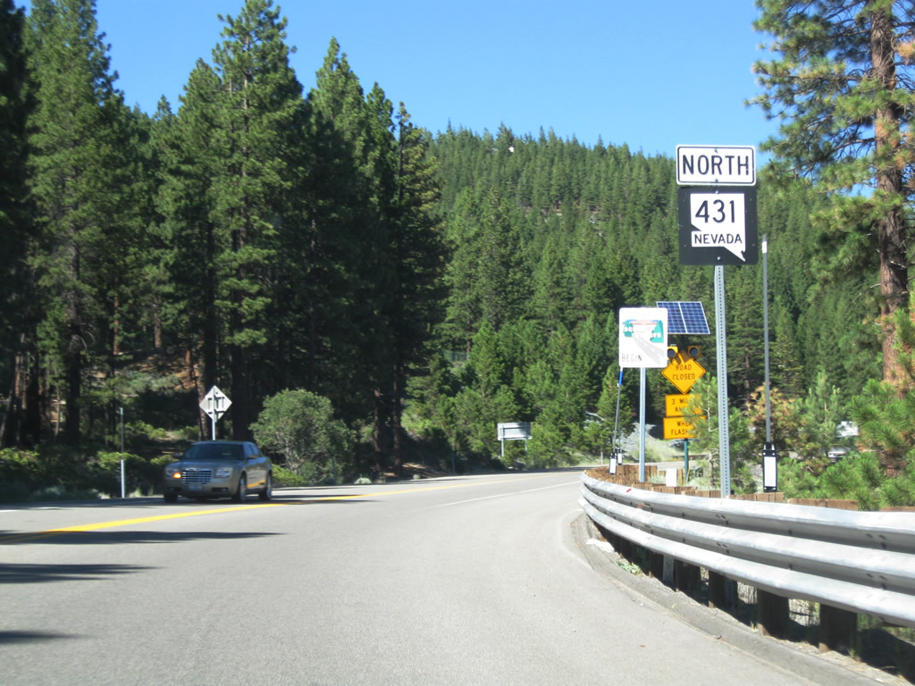
Nevada 431 proceeds uphill almost immediately upon leaving Incline Village. The state route will substantial elevation from Lake Tahoe to the summit.
07/21/09
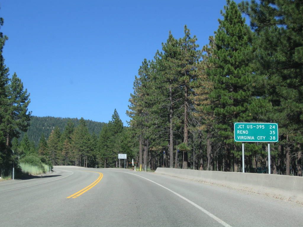
This mileage sign provides the distance to U.S. 395 and I-580 (24 miles), Reno (35 miles via Interstate 580 and U.S. 395), and Virginia City (38 miles via Nevada 341).
07/21/09

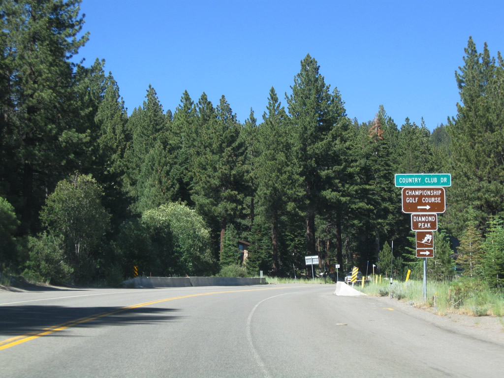
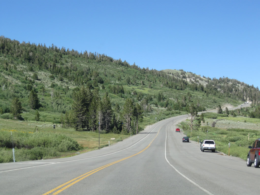
Slower traffic is required to use turnouts if more than five vehicles are closely following behind it.
07/21/09
SR 431 (Mount Rose Highway) gains over 1,000 feet of elevation over the 3.5 miles leading northeast from SR 28 through Incline Village.
07/21/09
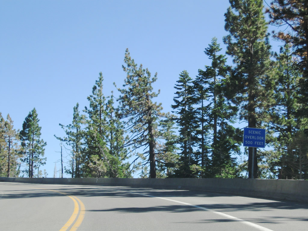
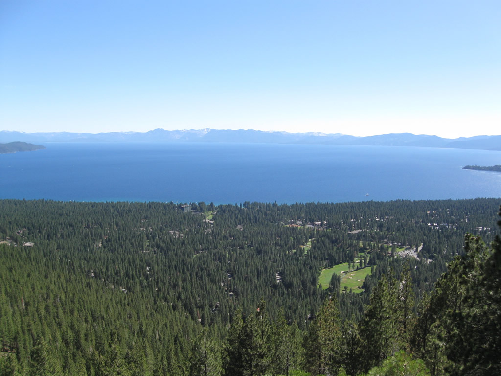
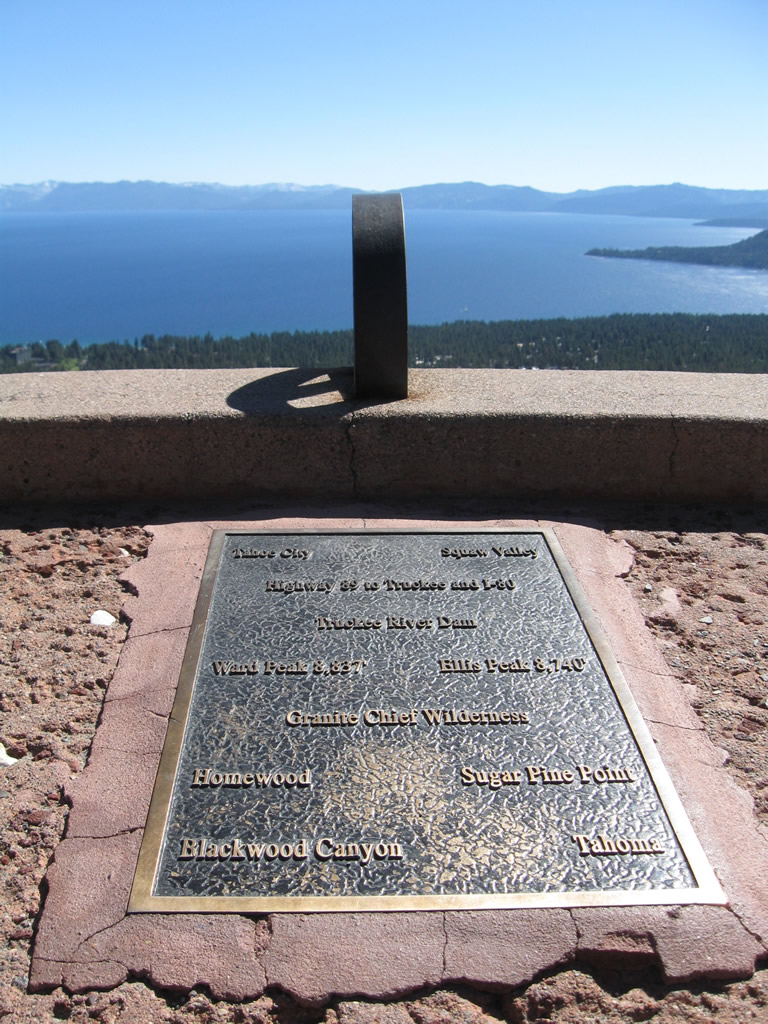
Curving southward, SR 431 reaches the Lake Tahoe Scenic Overlook above Incline Village.
07/21/09
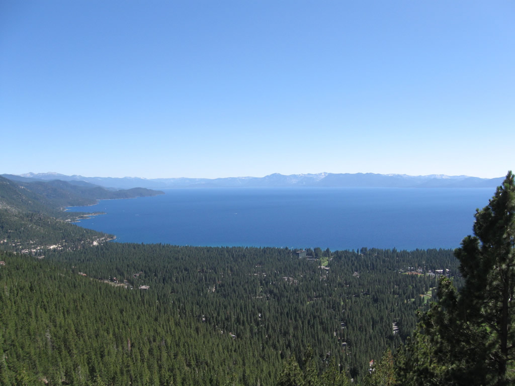
Located at an elevation of 7,595 feet above sea leve, the Mount Rose Highway scenic overlook provides an incredible view of Incline Village and Lake Tahoe to the south.
07/21/09
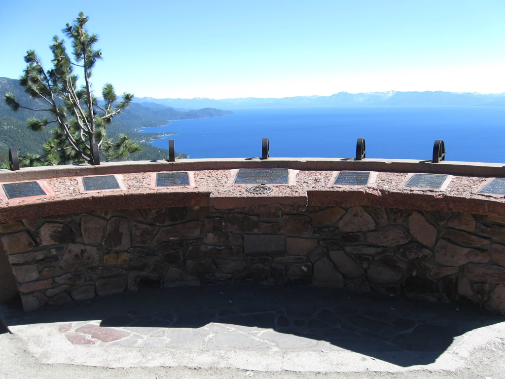
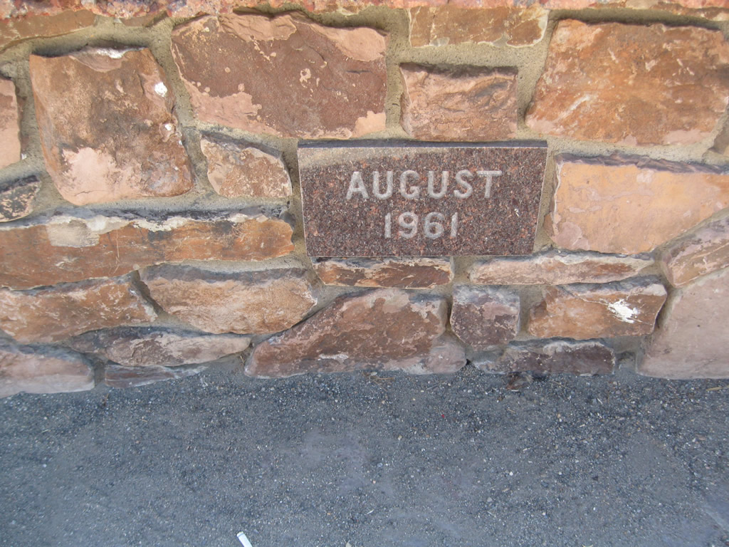
An interpretive kiosk was placed at the Lake Tahoe Scenic Overlook along SR 431 in 1961 to provide the names and elevations of nearby mountain peaks and points of interest.
07/21/09
07/21/09
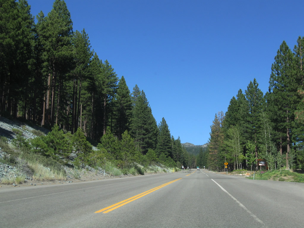
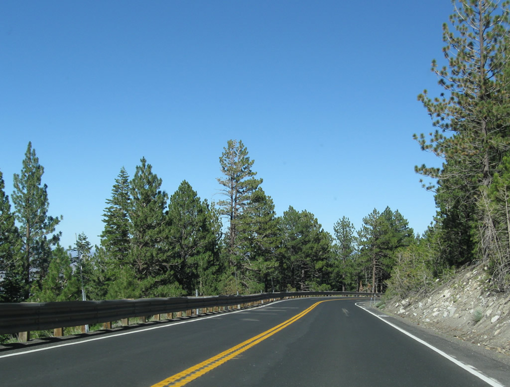
Mount Rose Highway advances northward between Incline Lake and Tahoe Meadhows.
07/21/09
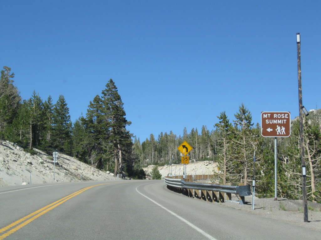
Turning more to the east, SR 431 travels south of Tamarack Peak to Mount Rose Summit.
07/21/09
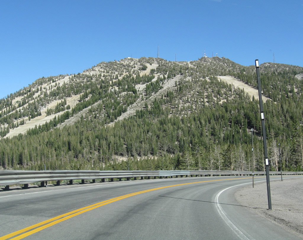
Slide Mountain, where the Mount Rose Ski Tahoe resort is located, appears along SR 431 northbound just ahead of Mount Rose Summit.
07/21/09
Mount Rose Summit, at an elevation of 8,900 feet above sea level, is the highest Sierra Nevada pass to remain open year round.
07/21/09

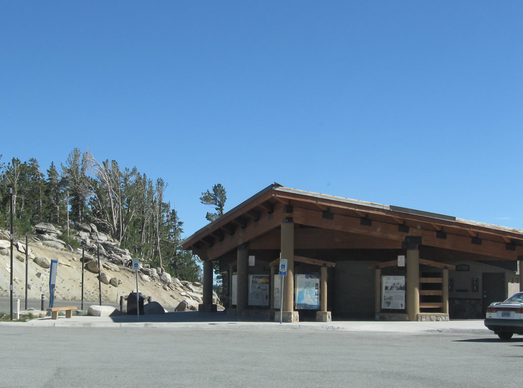
Restrooms and information kiosks located at Mount Rose Summit welcome motorists who cross over the Nevada 431 corridor between the Tahoe Basin and Truckee Meadows.
07/21/09
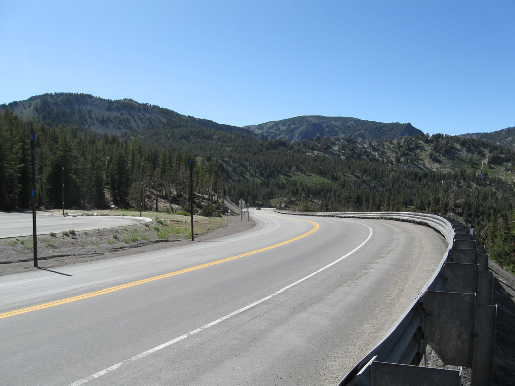
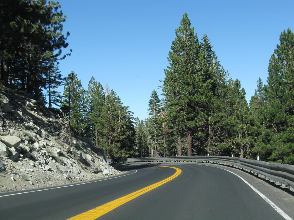
SR 431 curves west from Mount Rose Summit into a series of S-curves taking Mount Rose Highway around Slide Mountain.
07/21/09
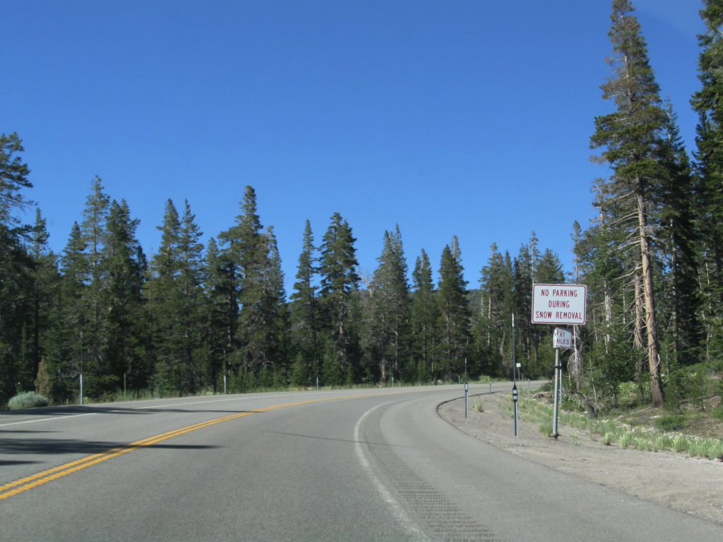
Due to the potential of deep snowfall on Nevada 431 in winter, the lineator posts on the side of the road are taller than normal, which allows snowplow operators to see the path of the road when it's covered in a blanket of snow.
07/21/09
Ski runs come into view on Slide Mountain. The Mount Rose Ski Tahoe resort bills itself as the resort closest to Reno.
07/21/09
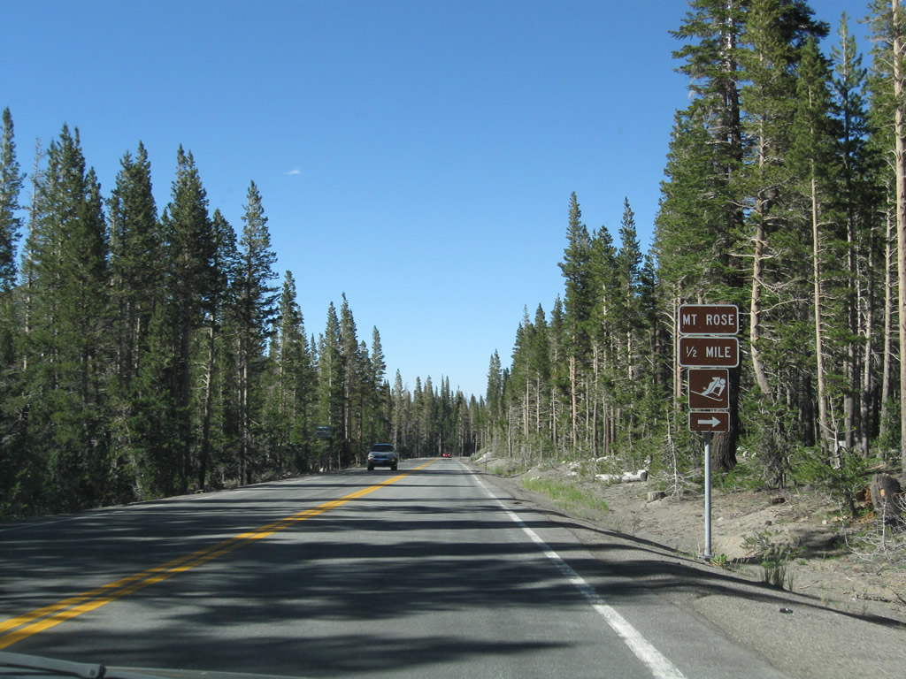
Northbound Nevada 431 continues a half mile to the entrance for Mount Rose Ski Tahoe.
07/21/09

An ample parking lot awaits visitors to the ski resort.
07/21/09

Northbound Nevada 431 next intersects the entrance to Mount Rose East Bowl.
07/21/09
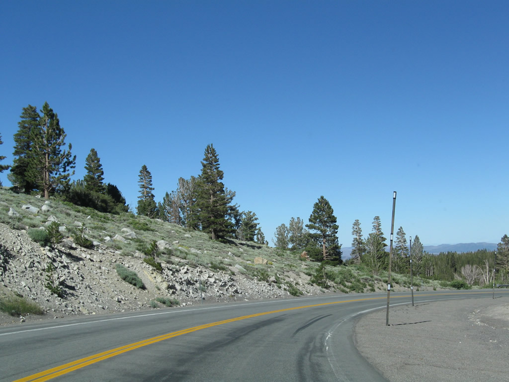
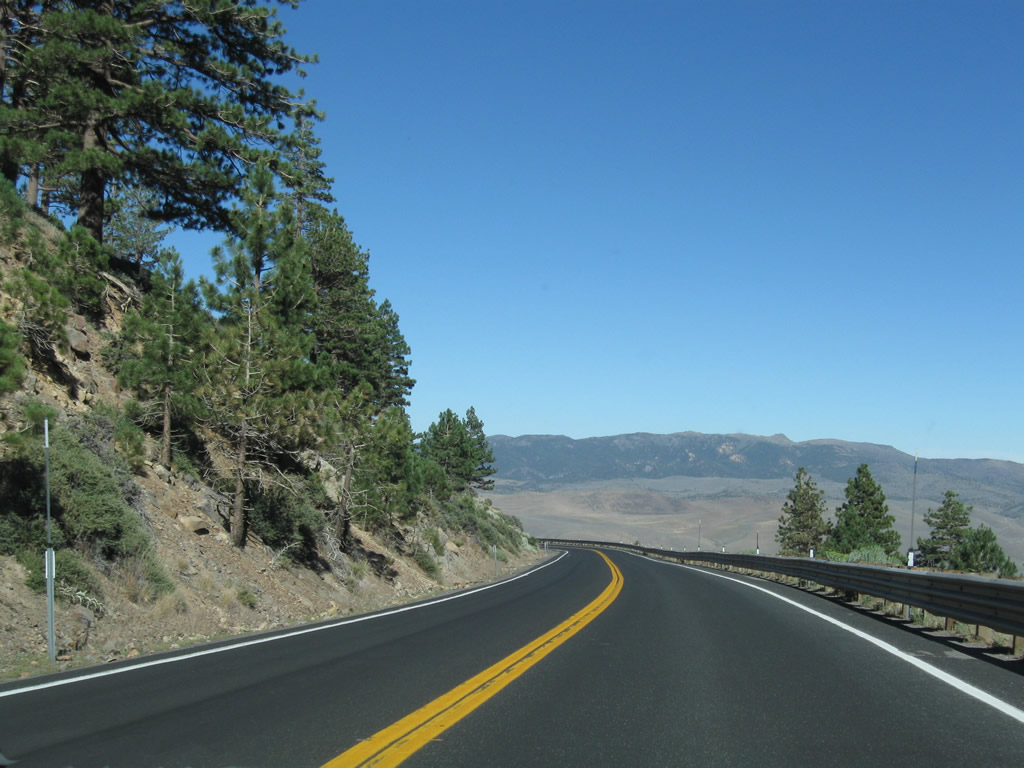
Nevada 431 continues northeast through the national forest.
07/21/09
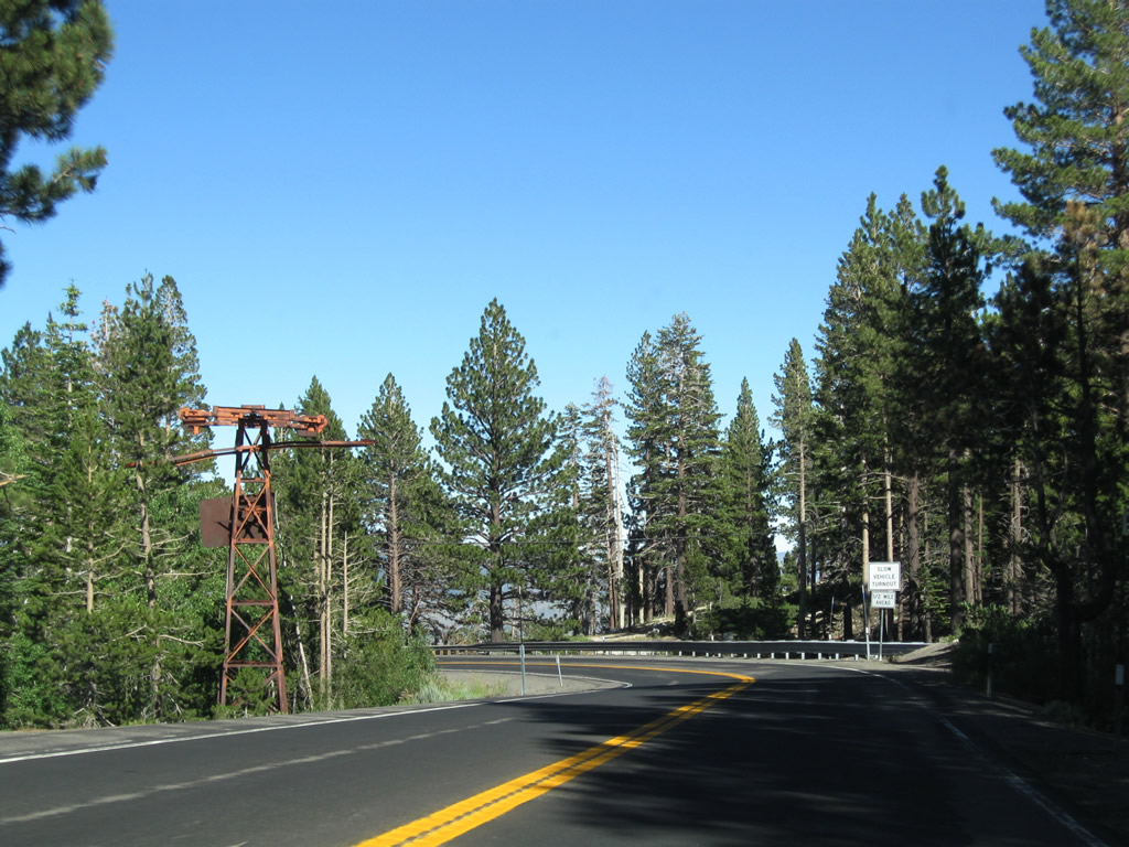
An old chair lift tower sits off Nevada 431 on the way downhill.
07/21/09
The descent to Mt. Rose Junction is much longer than the climb from Incline Village to Mount Rose Summit.
07/21/09
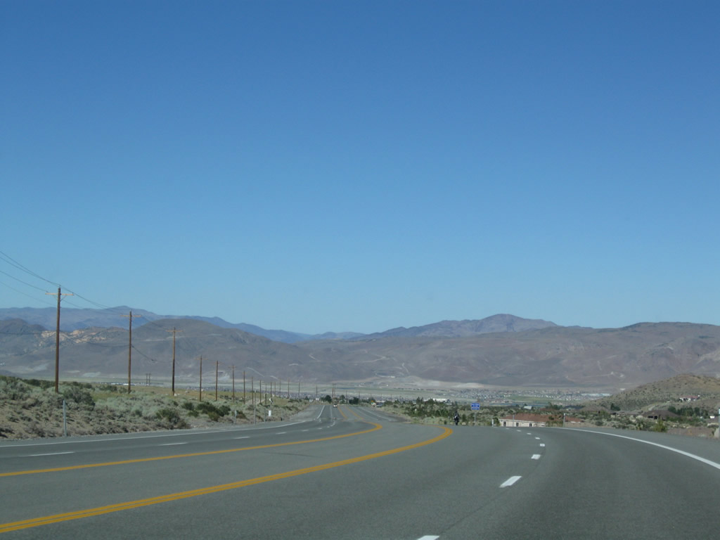
Nevada 431 proceeds north along Mount Rose Highway toward Truckee Meadows, the valley that contains the cities of Reno and Sparks through which the Truckee River passes.
07/21/09

The official state scenic highway corridor ends along SR 431 (Mount Rose Highway) northbound at the unincorporated area known as Galena.
07/21/09
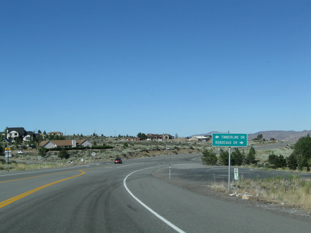
Northbound Nevada 431 meets Timberline Drive and Bordeaux Drive at this intersection.
07/21/09
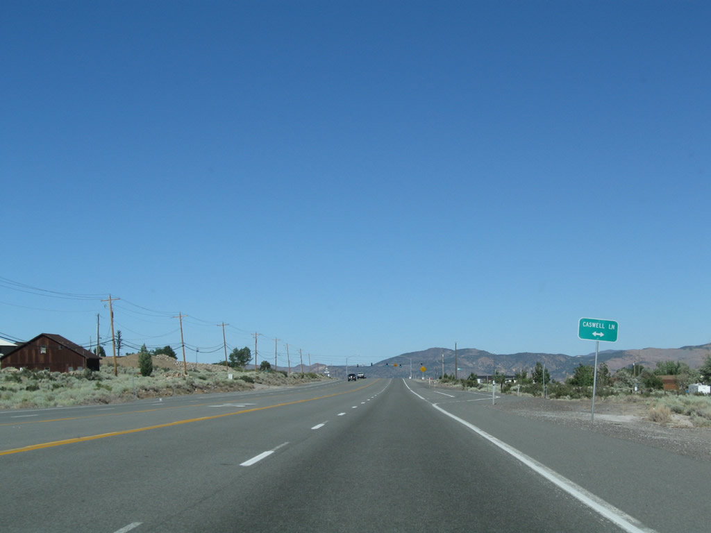
SR 431 expands into a five lane boulevard east ahead of Caswell Lane.
07/21/09
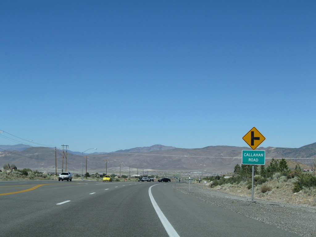
Continuing the descent to Mount Rose Junction, SR 431 passes between The Estates and Monte Vista developments at Callahan Road.
07/21/09
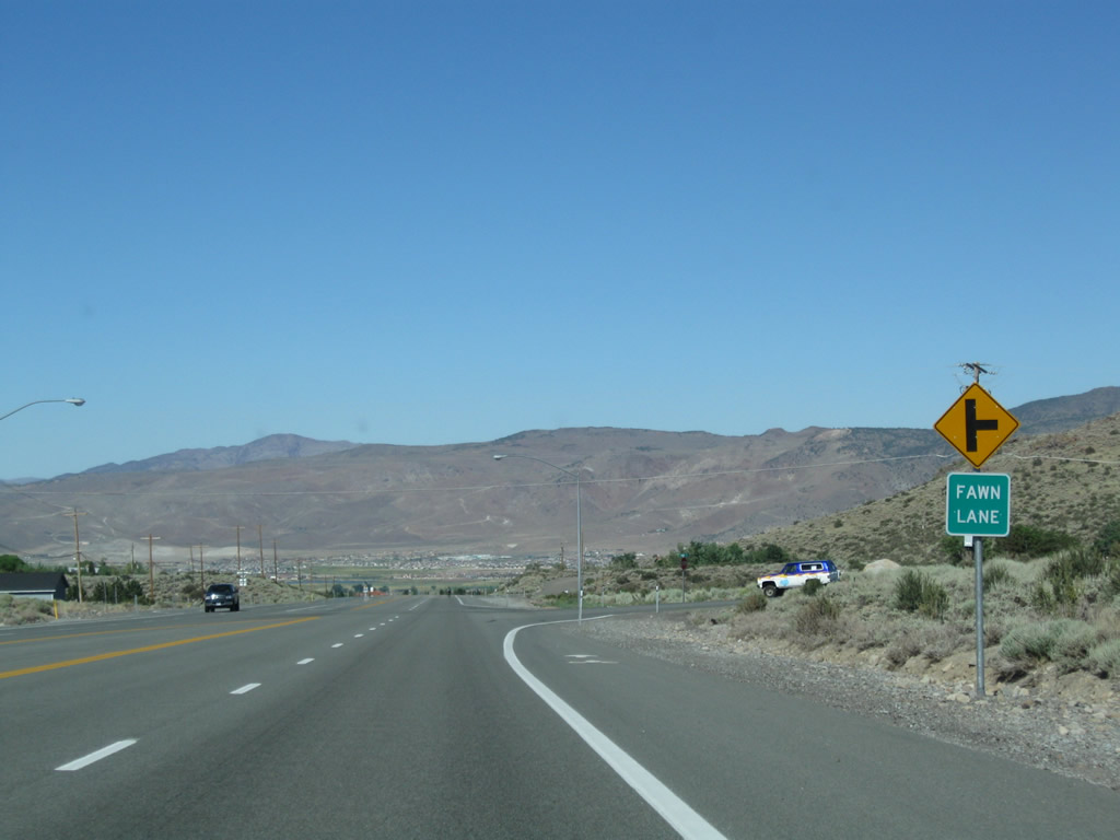
Fawn Lane stems south from Mount Rose Highway to the Ascente development.
07/21/09
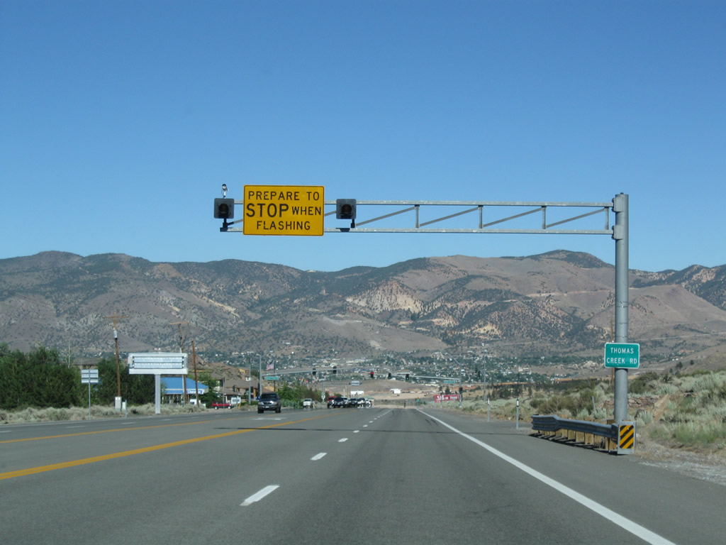
Thomas Creek Road heads north to the Saddlehorn development and other neighborhoods west of south Reno.
07/21/09
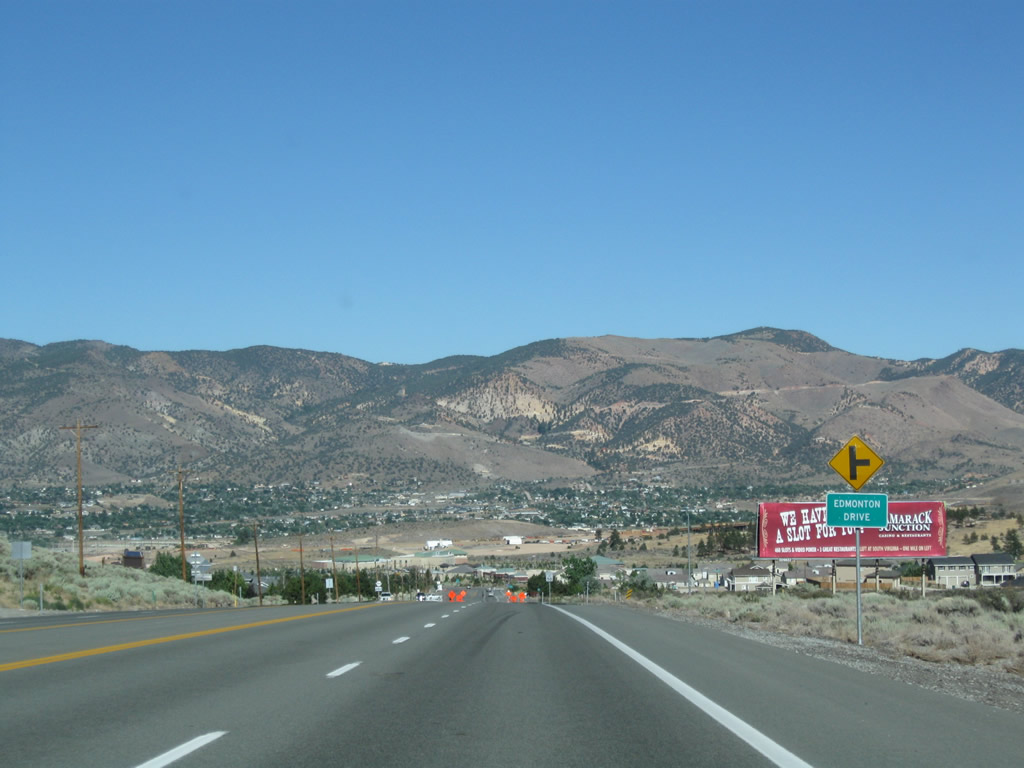
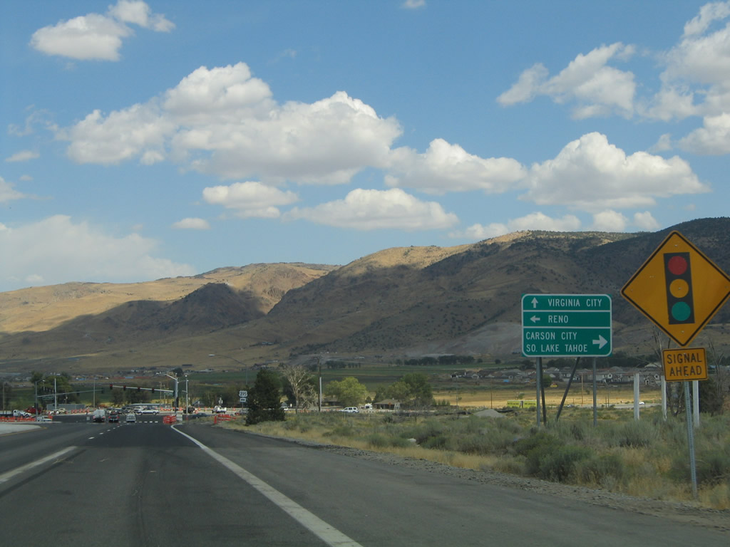
Geiger Grade Road, which carries Nevada 341 from Virginia City to Mount Rose Junction, appears in the distance from SR 431 at Edmonton Drive.
07/21/09

Wedge Parkway leads west from a signalize intersection with SR 431 to Galena High School and the University of Nevada Reno Redfield Campus.
07/21/09
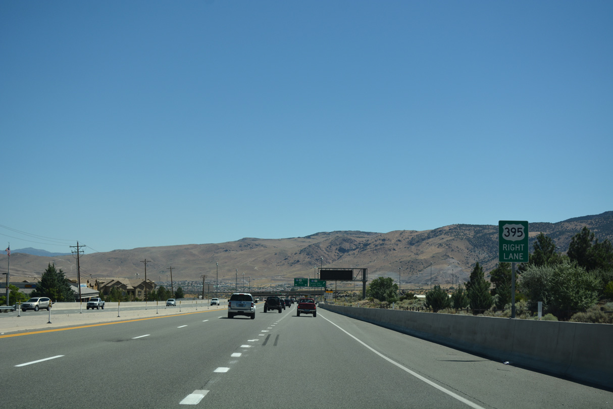
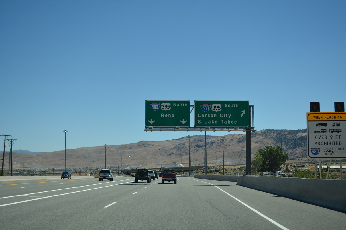
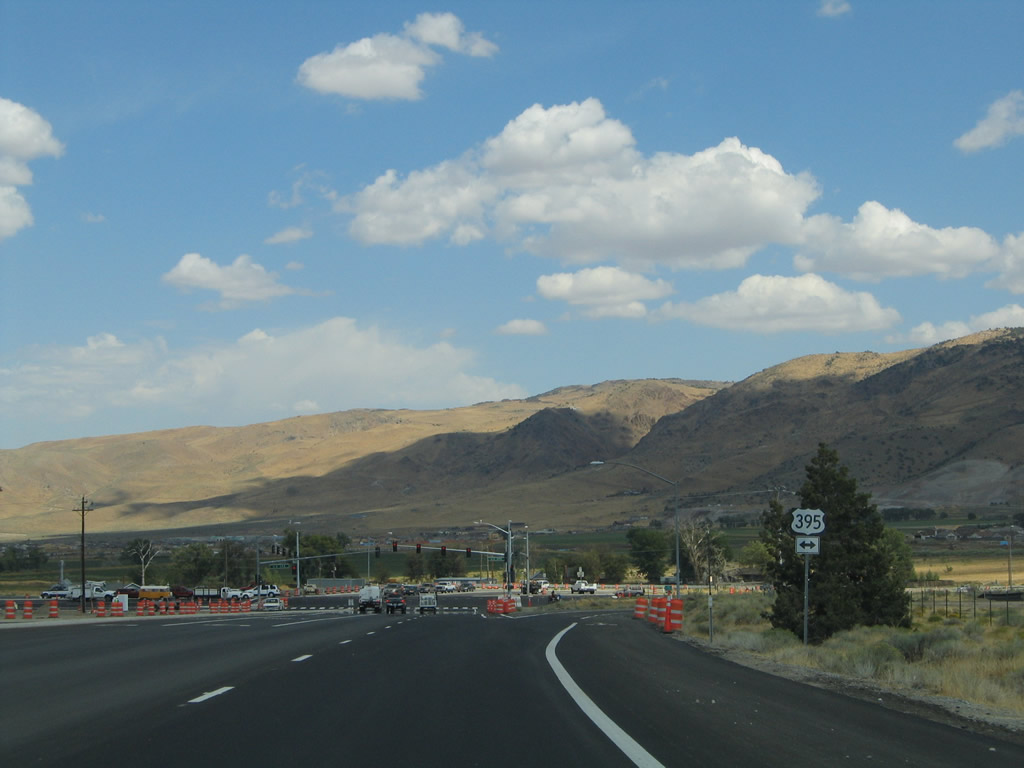
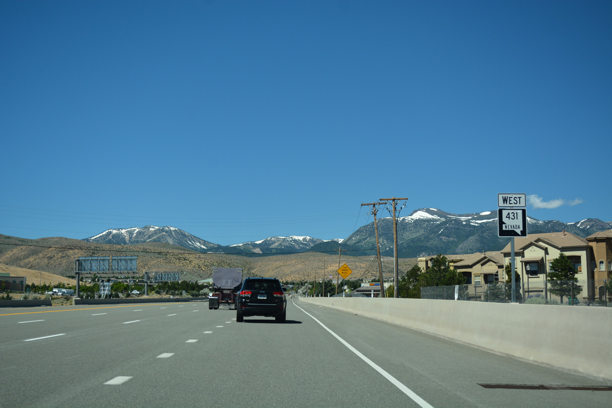
SR 431 (Mount Rose Highway) continues northeast from Wedge Parkway into a parclo interchange with I-580/U.S. 395.
07/17/17
I-580/U.S. 395 overlap north to I-80 in Reno and south to U.S. 50 at Carson City.
07/17/17

SR 431 ends north at U.S. 395 ALT, adjacent to The Summit commercial center and across from SR 341 (Geiger Grade Road).
09/09/05
SR 341 (Geiger Grade Road) travels east to Virginia City. U.S. 395 ALT is the pre-freeway alignment of U.S. 395 north to Reno and south to Washoe Valley.
09/09/05
SR 341 traverses the Virginia Range east as part of a 21.8 mile course to U.S. 50 near the community of Dayton.
09/09/05
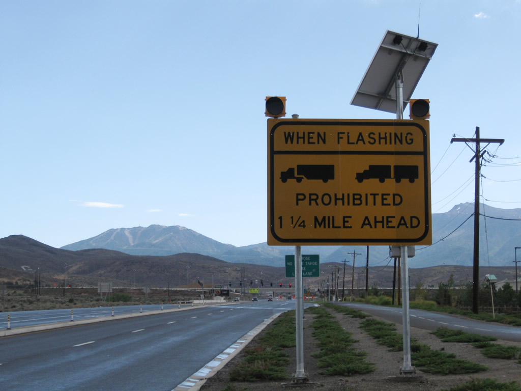
During episodes of inclement weather or bad traffic conditions, trucks may be restricted or prohibited on SR 431 southwest through Humboldt-Toiyabe National Forest and over Mount Rose Summit to Incline Village.
07/23/09
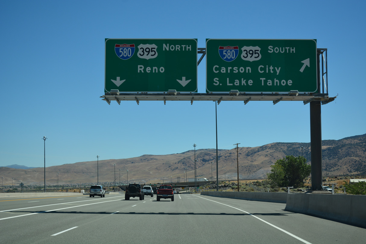
SR 431 (Mount Rose Highway) meets I-580/U.S. 395 at a parclo interchange west of the signalized entrance to The Summmit commercial center.
07/23/09
I-580/U.S. 395 travel north to Reno and Sparks and south to Carson City.
07/23/09
Confirming marker for SR 431 south posted west of the exchange with I-580/U.S. 395.
07/17/17
Photo Credits:
- Andy Field: 09/09/05, 07/21/09, 07/23/09
- Brent Ivy: 07/17/17
Connect with:
Page Updated Saturday July 14, 2012.