
Route 38
NY 38 heads 95.62 miles north from NY 96 near Owego in the Southern Tier of New York, to Auburn in the Finger Lakes Region and Sterling off Lake Ontario. The state route concludes at NY 104A.
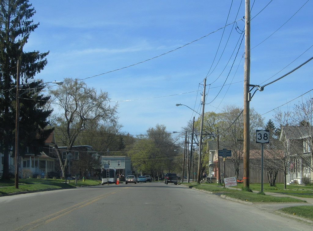
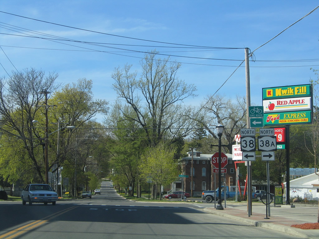
Heading north along NY 38 (Main Street) in Locke after the intersection with NY 90 (Cayuga Street).
05/09/05
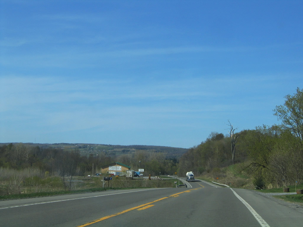
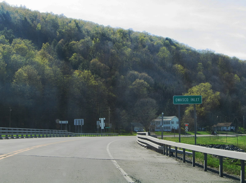
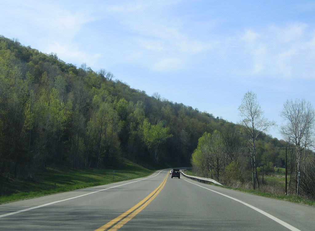
Oak Hill rises to the north as NY 38 travels between Locke and Moravia along the Owasco Inlet.
05/09/05
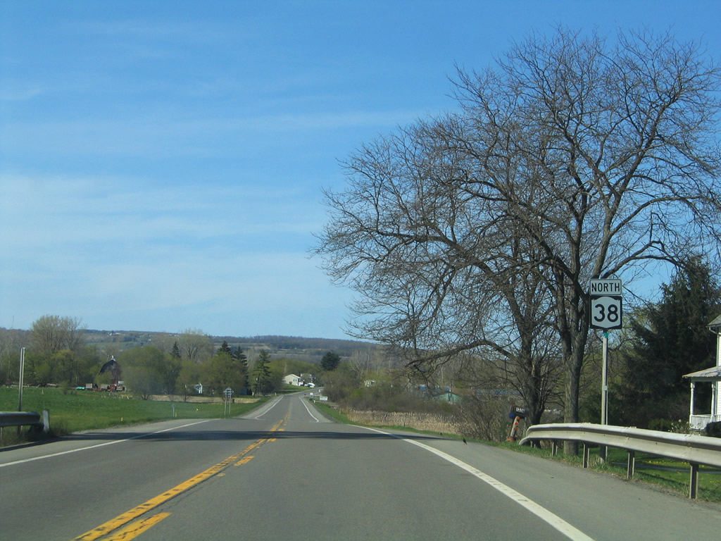
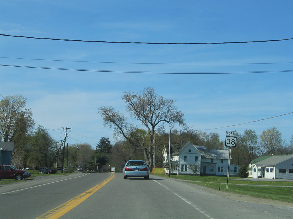
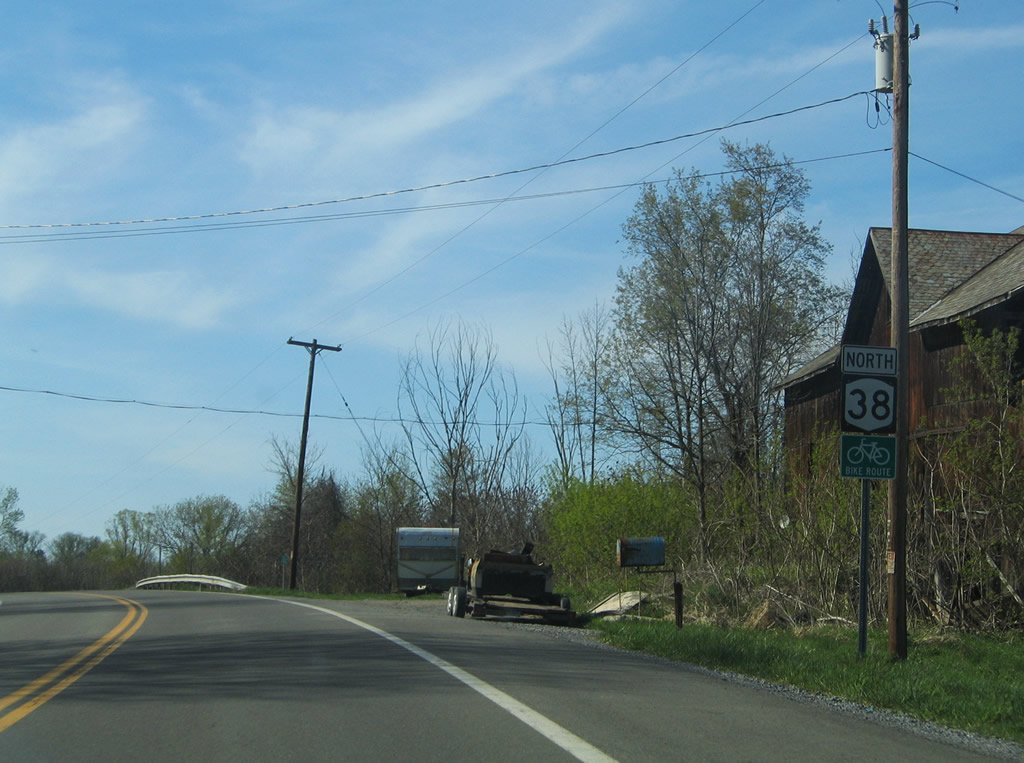
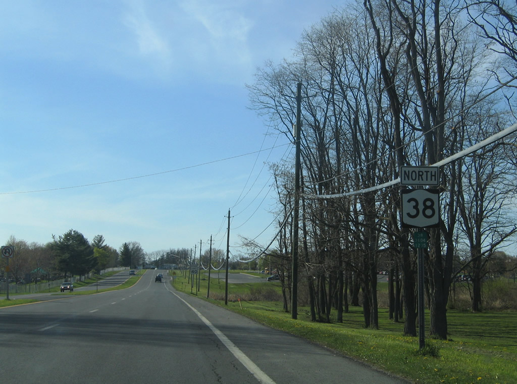
Northbound NY 38 shield posted midway between Harris Hill Road and Toll Gate Corners.
05/09/05
CR 54 (Toll Gate Road) ties into NY 38 at Toll Gate Corners just ahead of this reassurance shield. The entrance to Fillmore Glen State Park lies ahead.
05/09/05
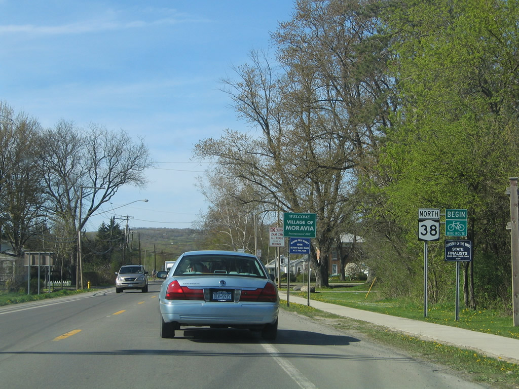
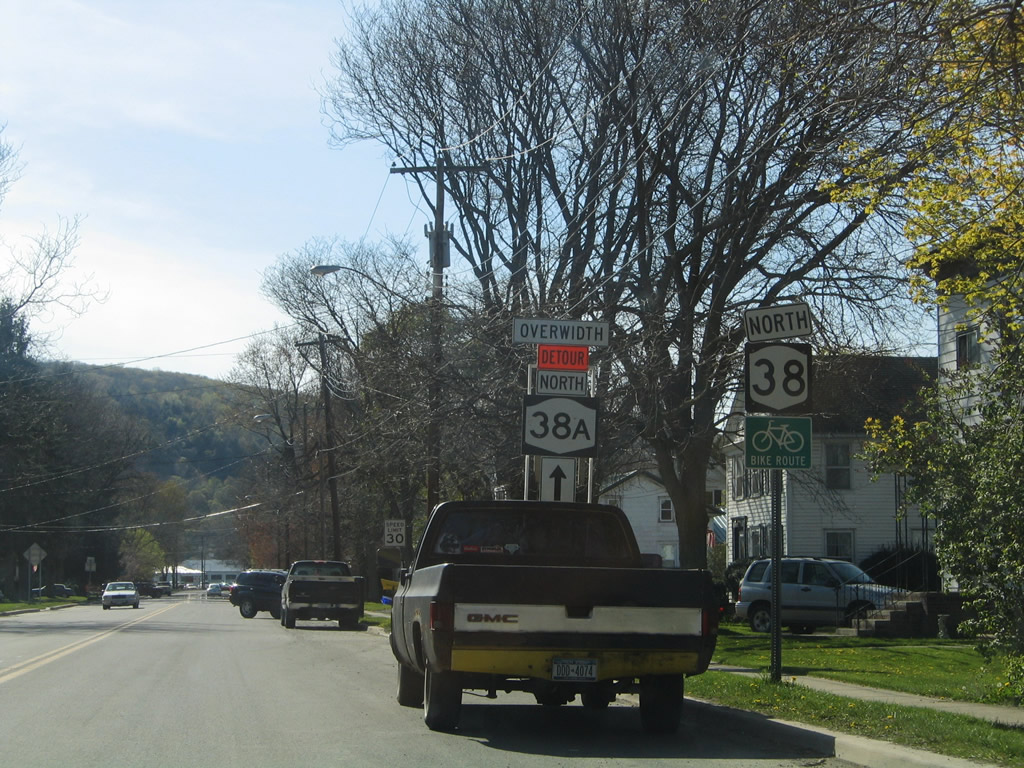
NY 38 enters the village of Moravia and follows S Main Street north into Downtown.
05/09/05
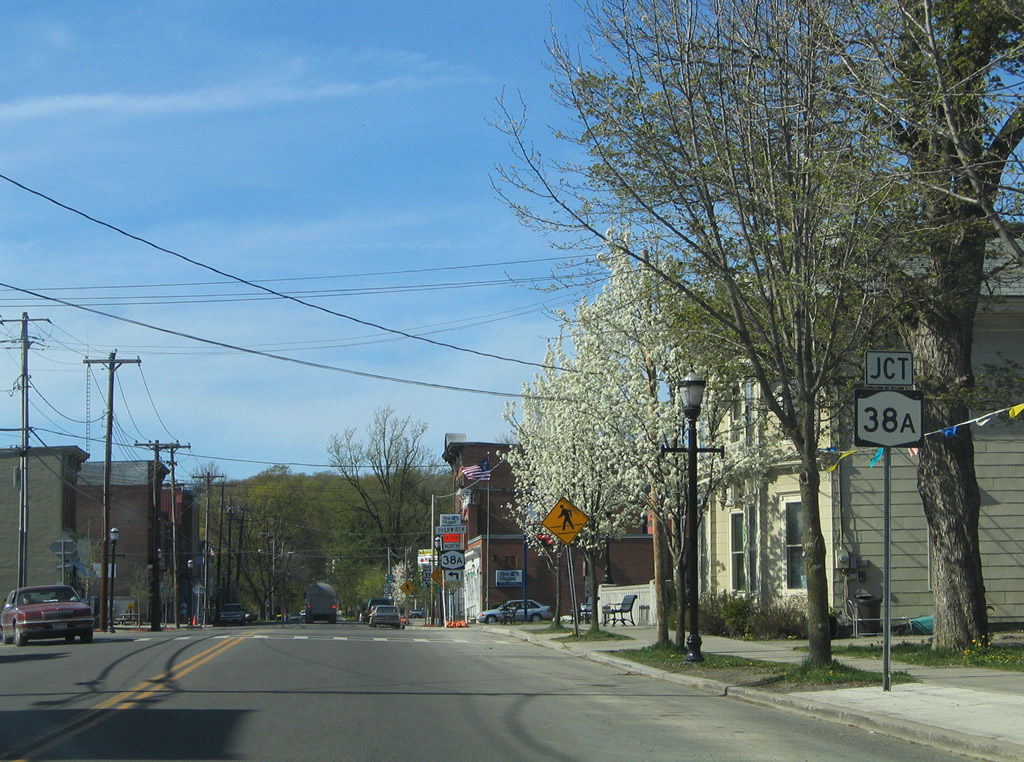
NY 38A begins in Moravia along Cayuga Street east from NY 38 (S Main Street).
05/09/05
Heading northeast, NY 38A passes by Montville and Montville Falls to Niles and NY 359.
05/09/05
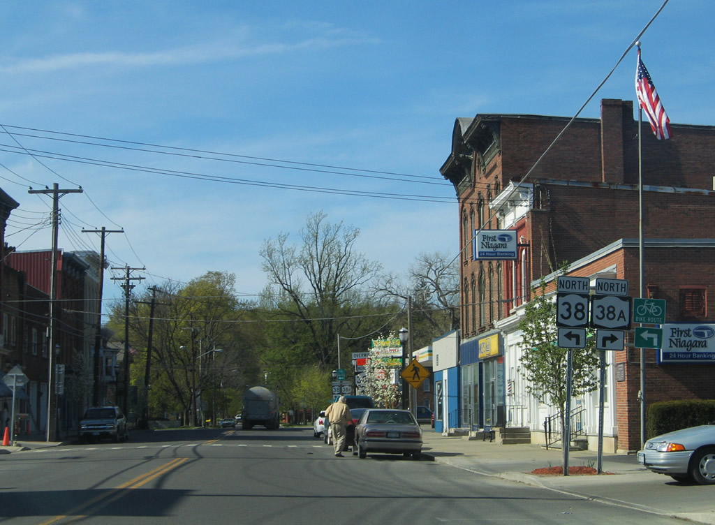
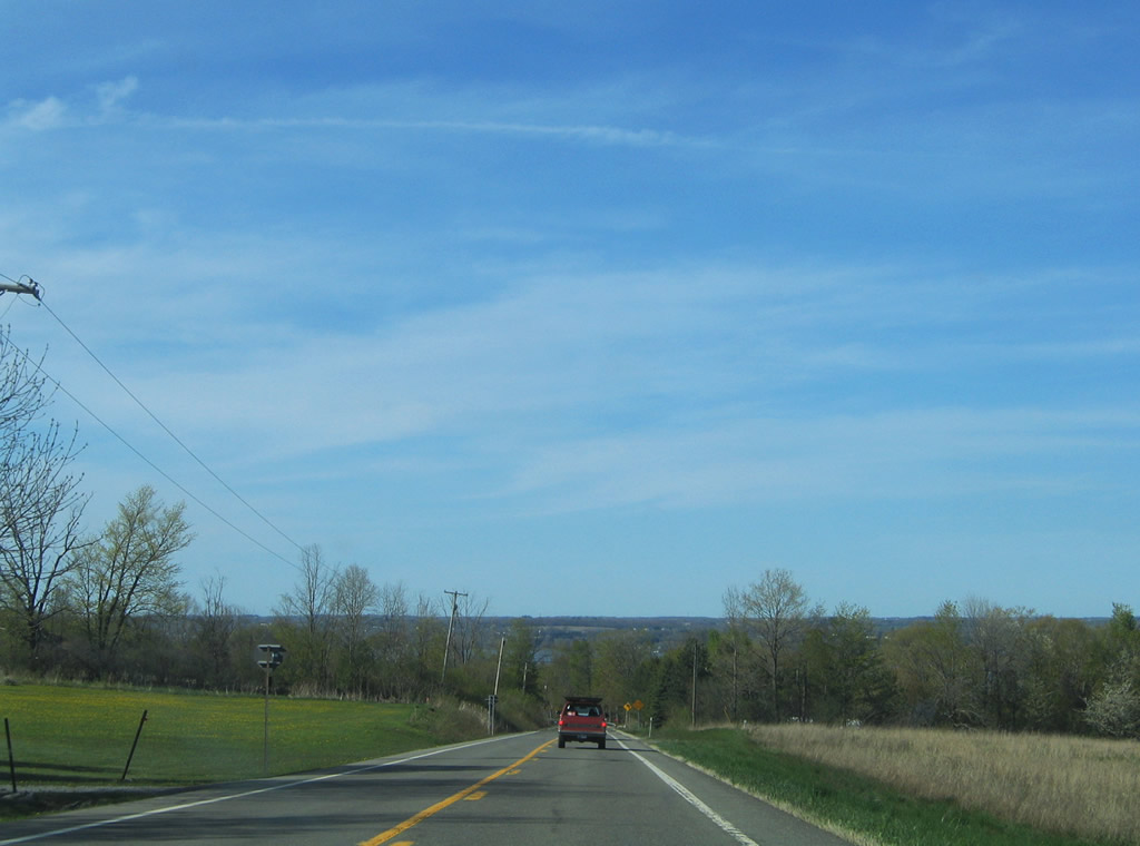
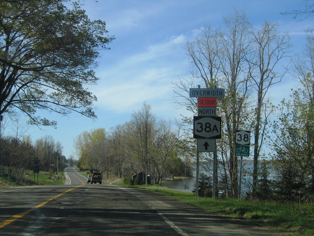
NY 38 turns northwest from Moravia along the west side of Owasco Lake; NY 38A eventually converges with the east side of the lake along its 21.85 mile course to U.S. 20/NY 5 in Auburn.
05/09/05
W Cayuga Street leads NY 38 west from N Main Street and NY 38A (E Cayuga Street) out of Moravia.
05/09/05
Traversing the Owasco Flats area northwest of Moravia on NY 38 spans Owasco Inlet.
05/09/05
Advancing northward near Parson Falls on NY 38 in the town of Moravia.
05/09/05
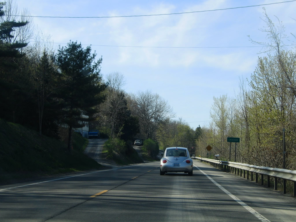
The Owasco Flats give way to Owasco Lake as NY 38 climbs into the Cascade community.
05/09/05
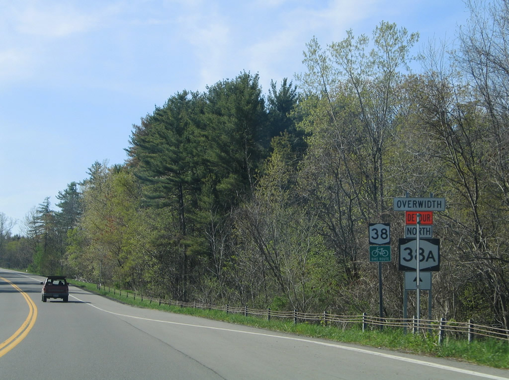
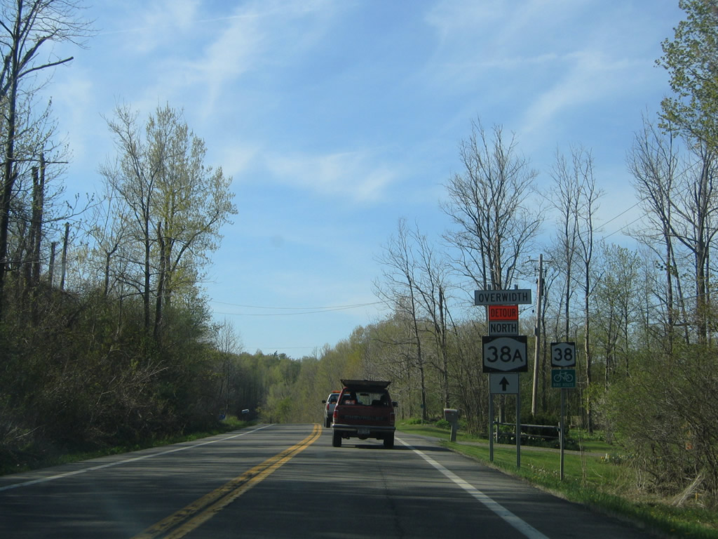
Mathers Road leads northwest from NY 38 to CR 42B (Sherwood Road) from Cascade ahead of this shield assembly.
05/09/05
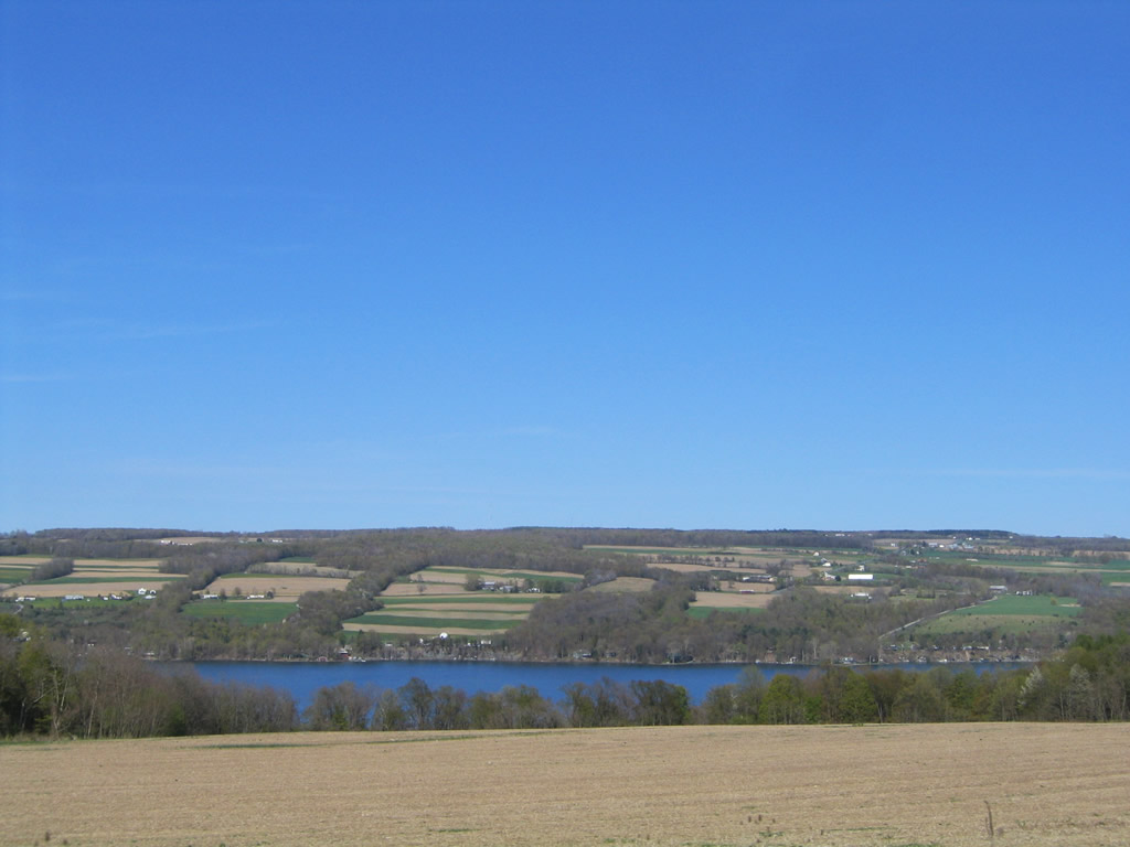
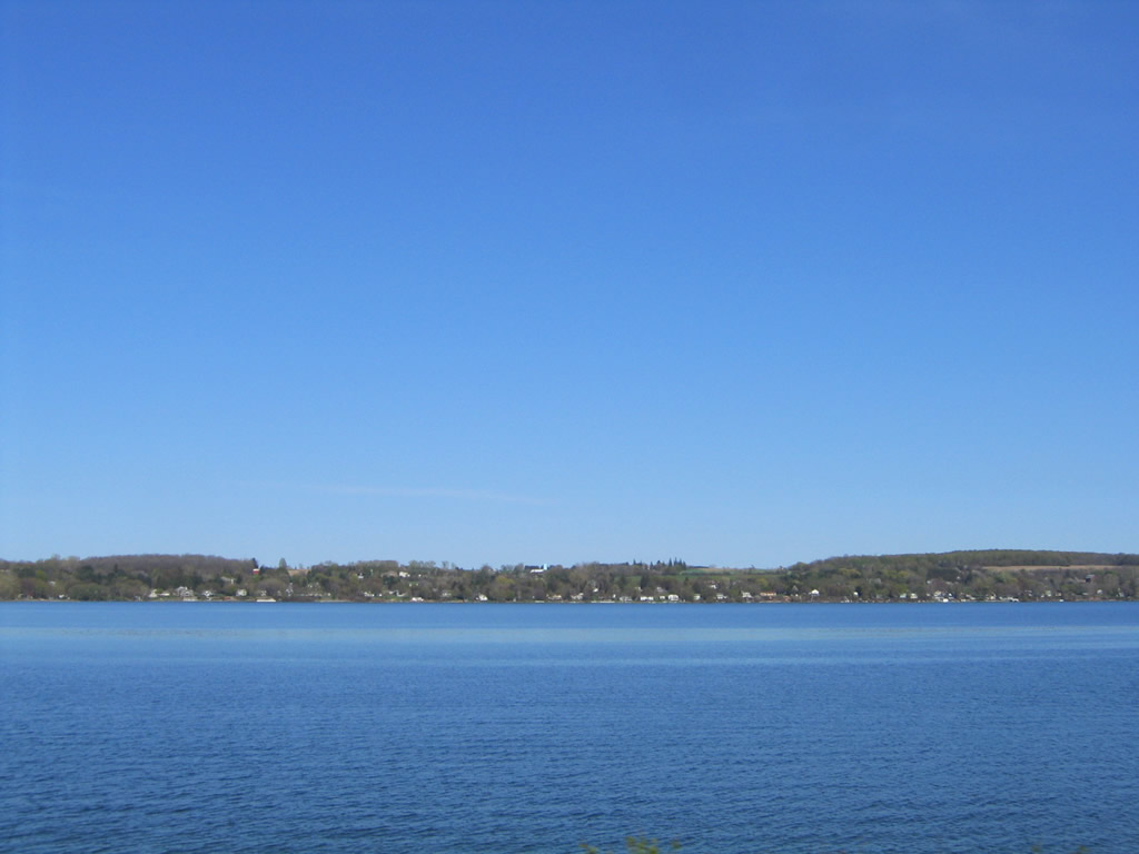
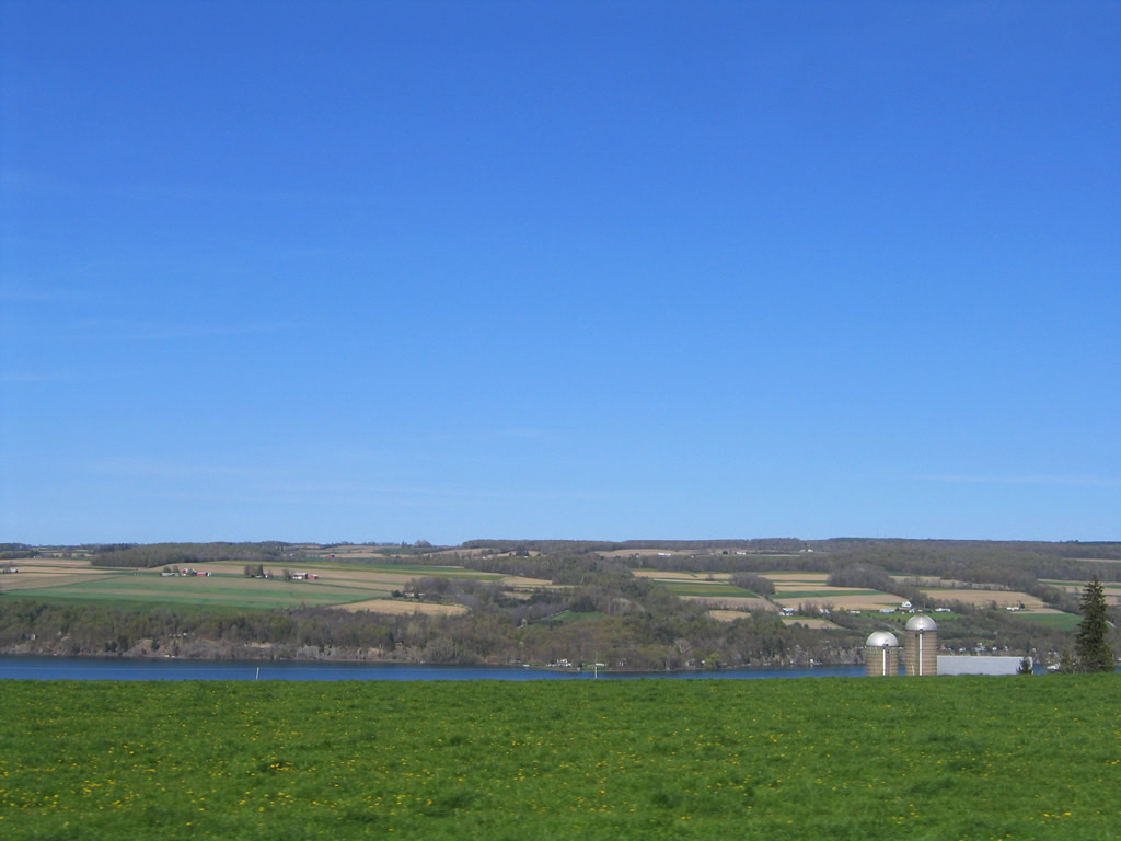
Owasco Lake spreads to the east of NY 38 toward Seward Point from the area near CR 44C (Center Road) in the town of Scipio.
05/09/05
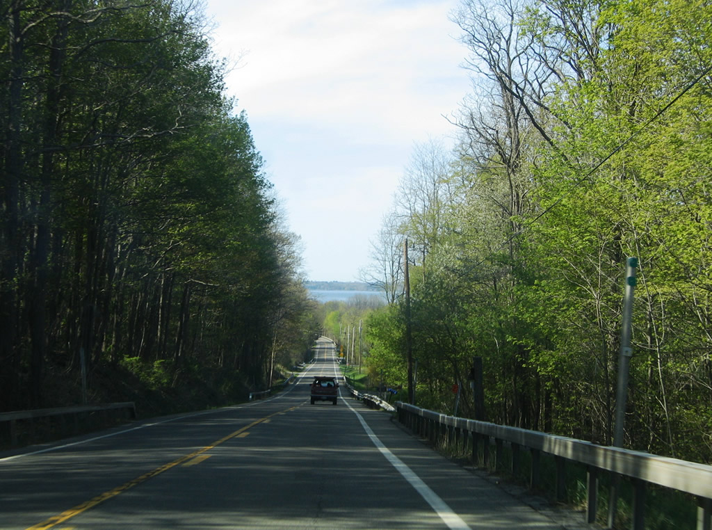
NY 38 north between Hicks Road and Duck Road west of Glenwood Beach.
05/09/05
NY 38 bends northeastward from Duck Road and descends again toward Elmwood and the Owasco Lake shore.
05/09/05
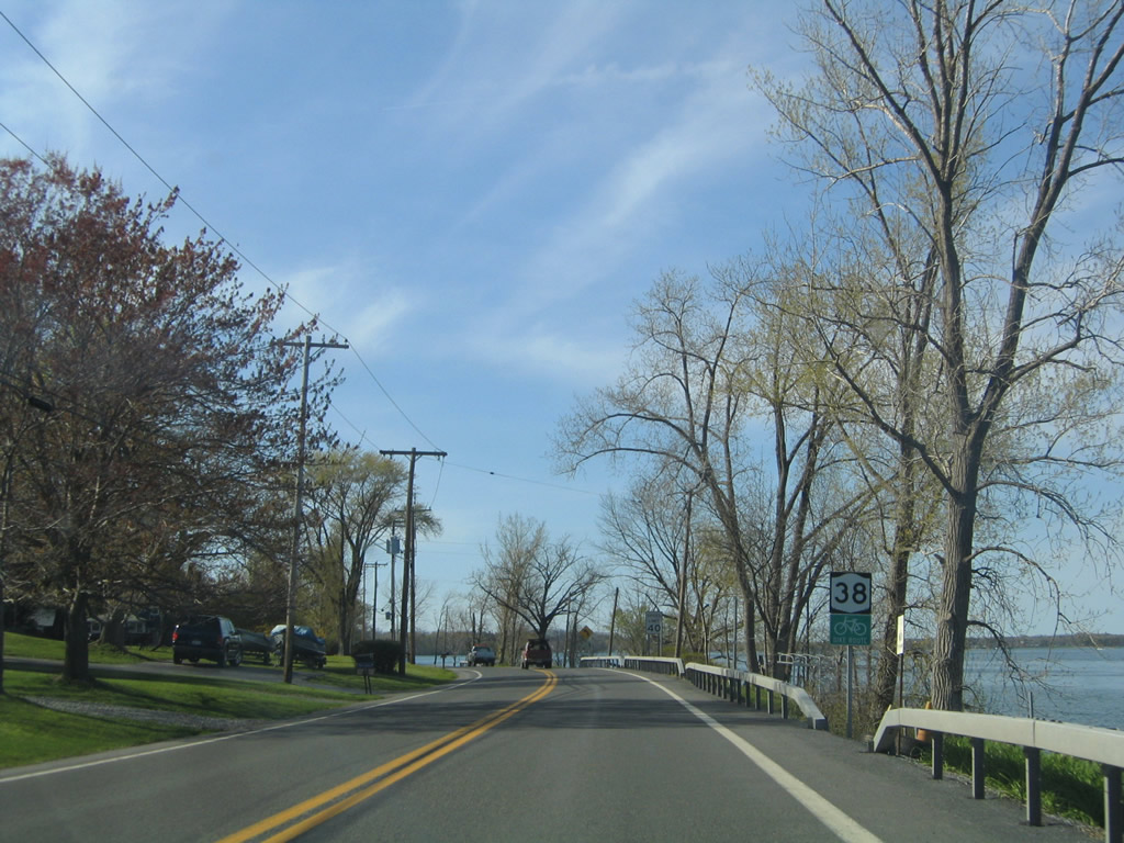
Crossing into the town of Fleming, NY 38 intersects Wyckoff Road (CR 26B) at Owasco Lake Station. This reassurance shield stands ahead of Plunckett Point.
05/09/05
Approaching Peterson Point along NY 38 northbound near Stone School Road.
05/09/05
NY 38 hugs the Owasco Lakeshore one final time between Peterson and Buck Points.
05/09/05
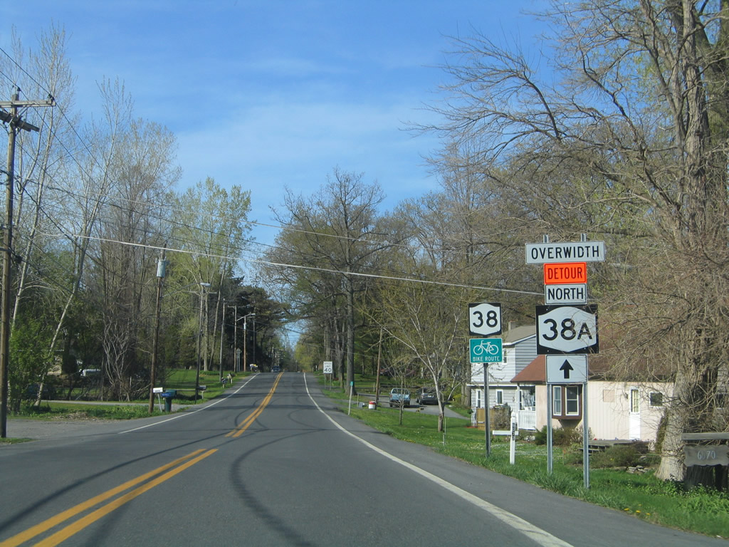
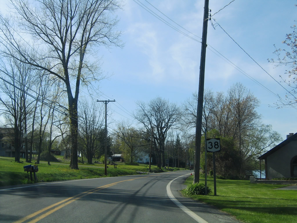
Forest Hill Drive leads east from Sherlock Corners and Sand Beach Road (CR 27) to NY 38 (W Lake Road) near Poplar Cove and this reassurance shield.
05/09/05
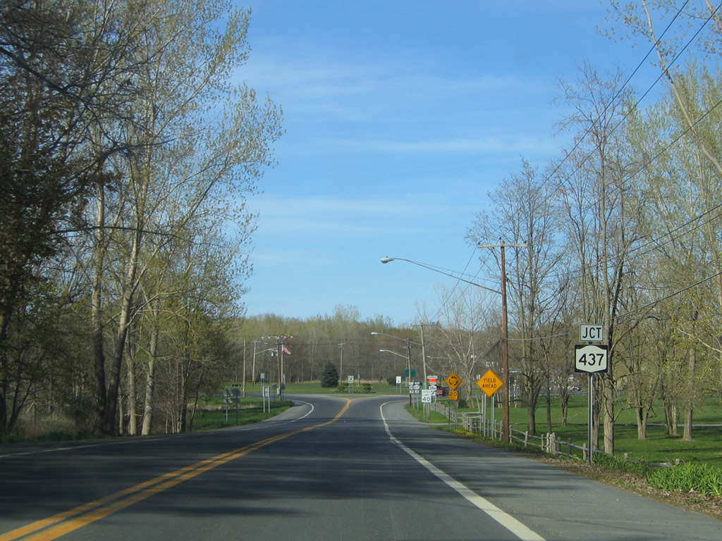
Nearing the roundabout with NY 437 (White Bridge Road) east and Sand Beach Road (Cayuga County Route 27) west on NY 38 (W Lake Road) north at Melrose Park.
05/09/05
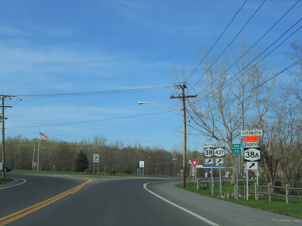
NY 437 constitutes a connector between NY 38 (W Lake Road / Lake Avenue) and NY 38A (E Lake Road).
05/09/05
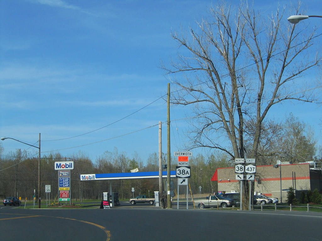
NY 437 comprises the shortest touring route in the state at just 0.33 miles in length.
05/09/05
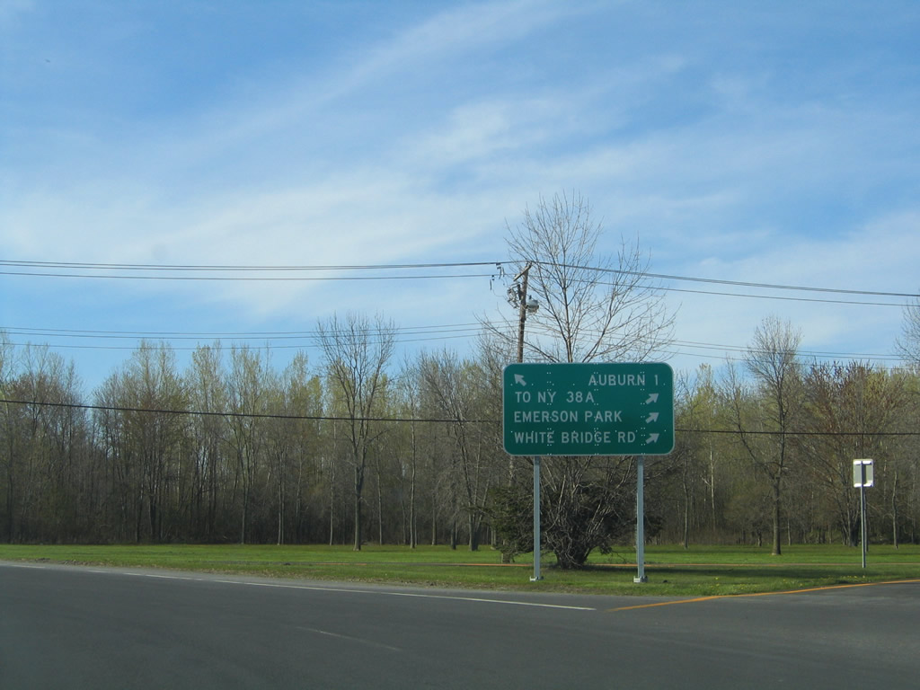
White Bridge Road ties NY 437 into NY 38A (E Lake Road) at Emerson Park, a recreation park on the north shore of Owasco Lake. NY 38A follows Owasco Road north into Auburn.
05/09/05
NY 38 expands into a four lane divided highway along Lake Avenue northwest into Auburn.
05/09/05
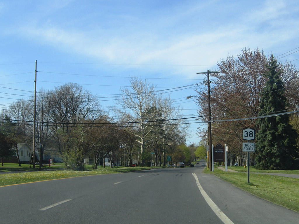
Entering the city of Auburn from the town of Fleming along NY 38 (Lake Avenue) north.
05/09/05
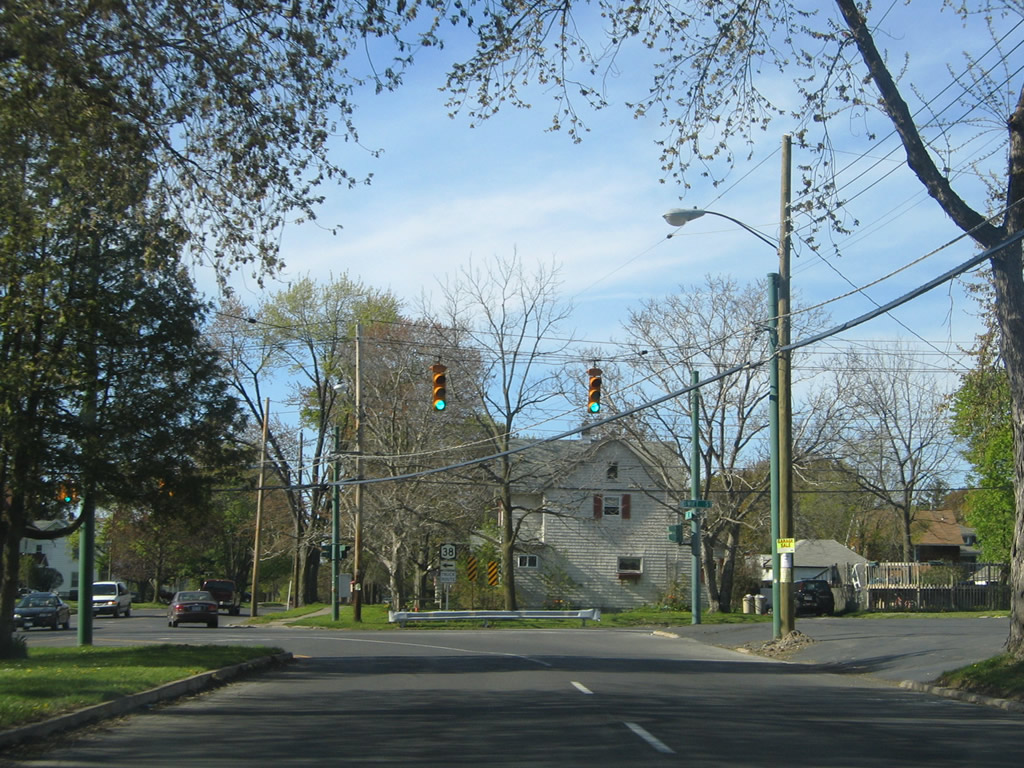
The four lane section of NY 38 concludes where the state route turns west from Lake Avenue onto Swift Street.
05/09/05
Lake Avenue continues north as a two lane street to NY 38A (Owasco Street) at Frederick Street.
05/09/05

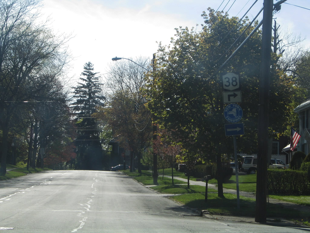
Swift Street takes NY 38 west seven blocks or 0.6 miles to South Street.
05/09/05
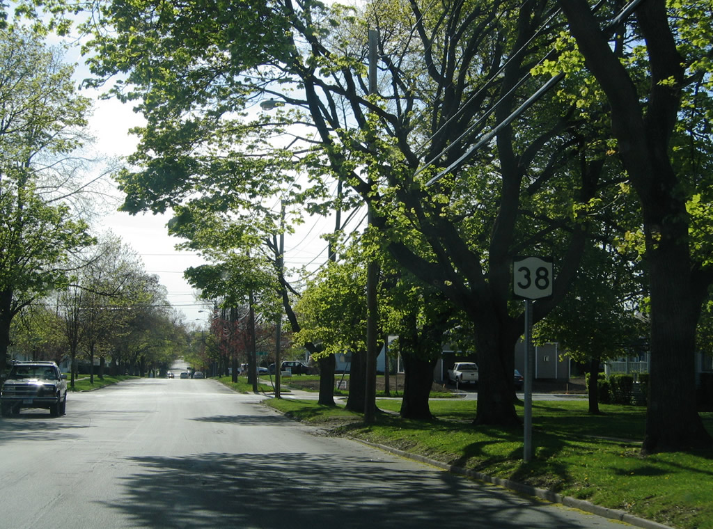
A second shield for NY 38 north along Swift Street precedes the intersection with Mattie Street north and Kearney Avenue south.
05/09/05
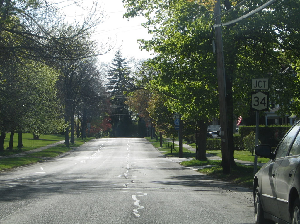
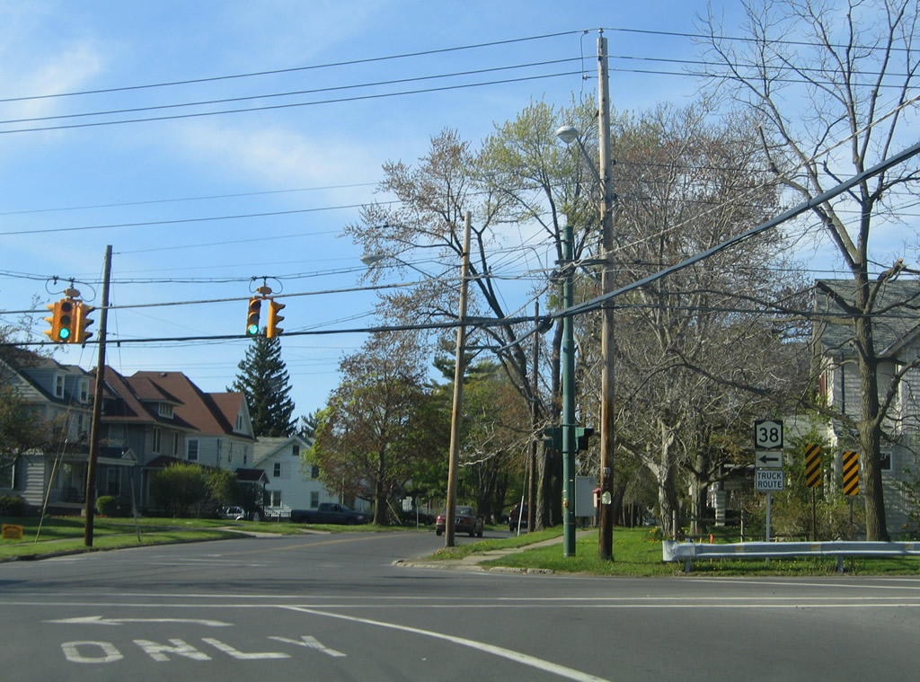
Advancing west toward the merge with NY 34 (South Street) north on NY 38 (Swift Street) west.
05/09/05
A New York Thruway trailblazer references the Weedsport interchange along NY 34. NY 34/38 combine for 0.82 miles along South Street north to U.S. 20/NY 5.
05/09/05
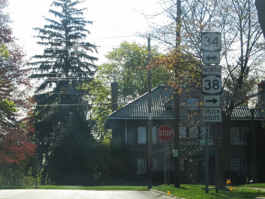
NY 34 (South Street) travels four miles south to the Fleming town center en route to Ithaca. Measuring 99.42 miles in length, the state route extends south to PA 199 at Waverly and north to NY 104 at Hannibal.
05/09/05
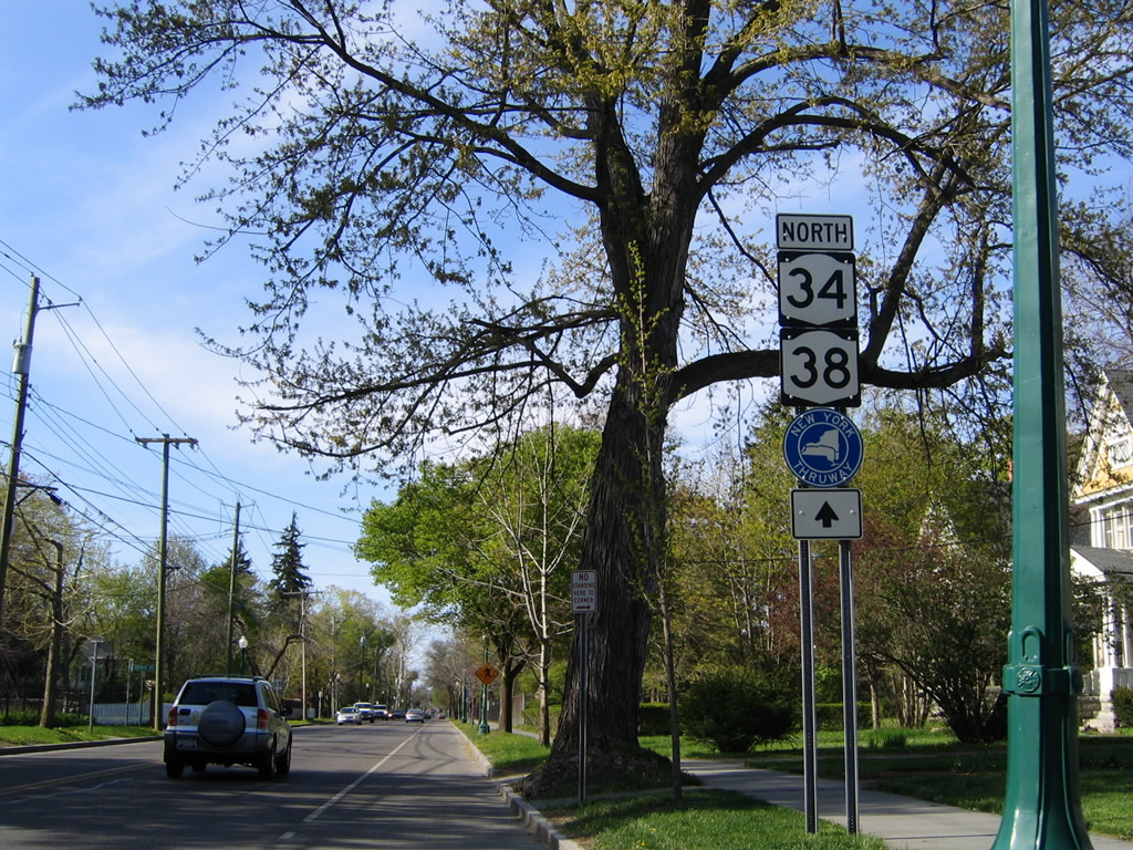
Confirming markers for NY 34/38 posted north ahead of Chapman Avenue west.
05/09/05
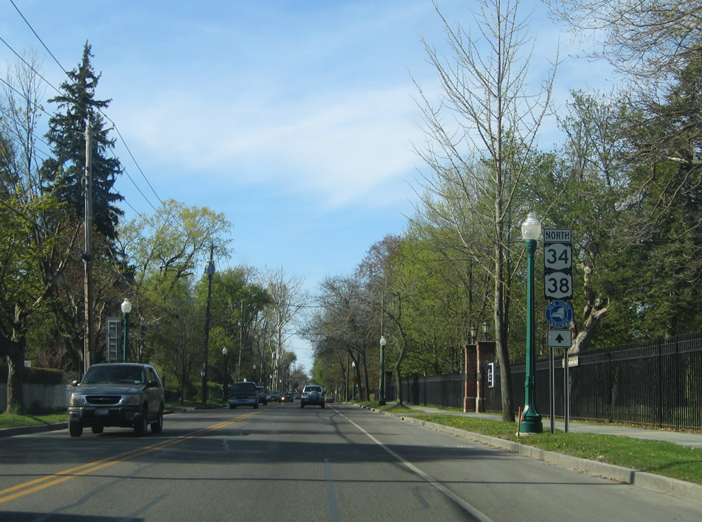
A second set of shields for NY 34/38 north stand beyond Chapman Avenue.
05/09/05
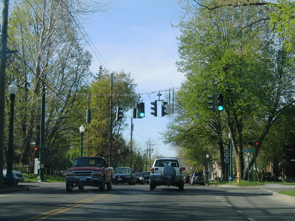
South Street advances north to the signal at Chedell Place west and Elizabeth Street east. Elizabeth Street connects with Osborne Street near the Lake Avenue bridge over Owasco Outlet.
05/09/05
Continuing north along NY 34/38 between Elizabeth and Logan Streets.
05/09/05
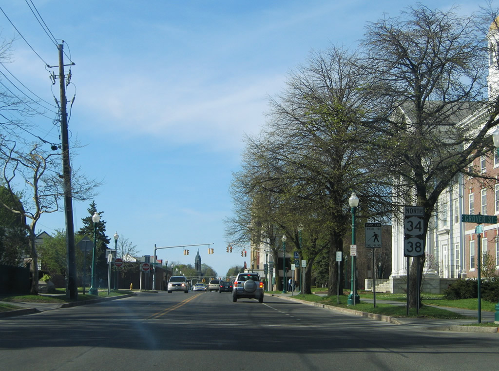
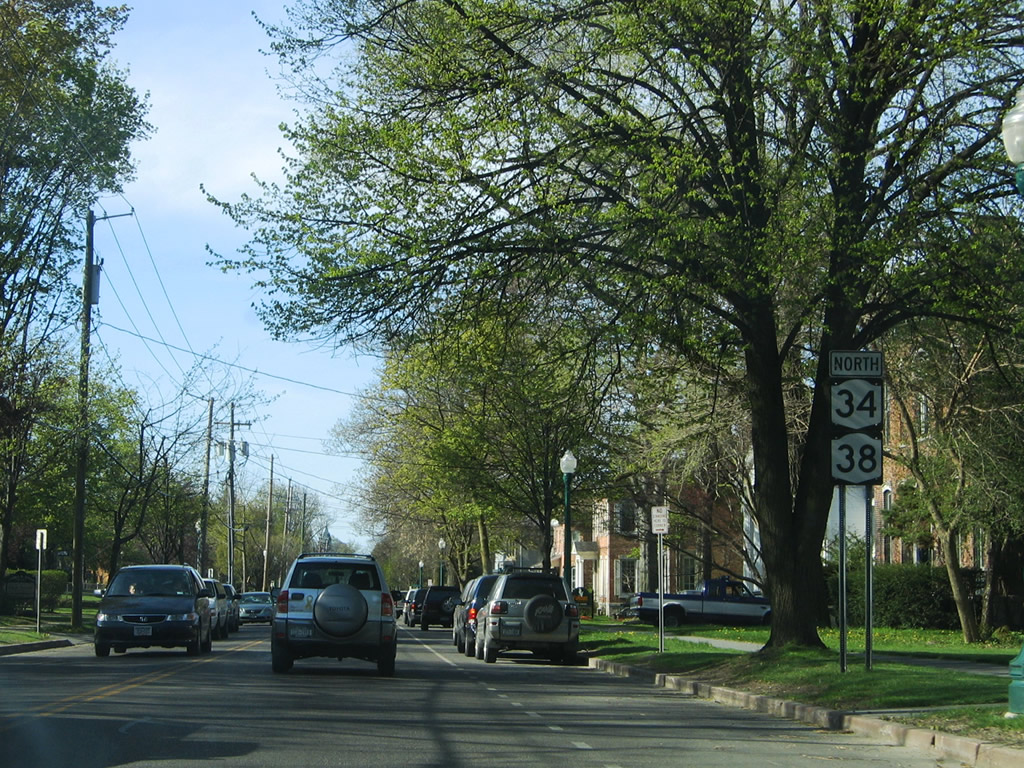
Auburn Memorial City Hall lines the east side of NY 34/38 (South Street) between Grover and Lincoln Streets.
05/09/05
Lincoln Street forms the south half of a loop with William Street, Dill Street, and Loop Road around the Auburn business district.
05/09/05
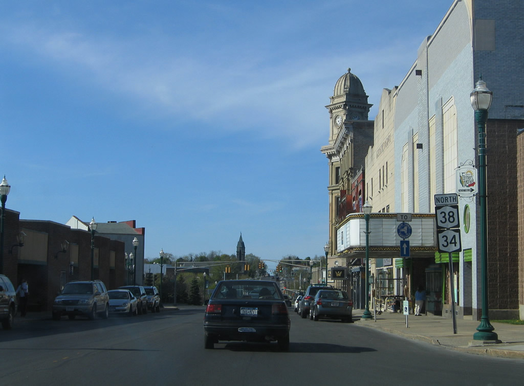
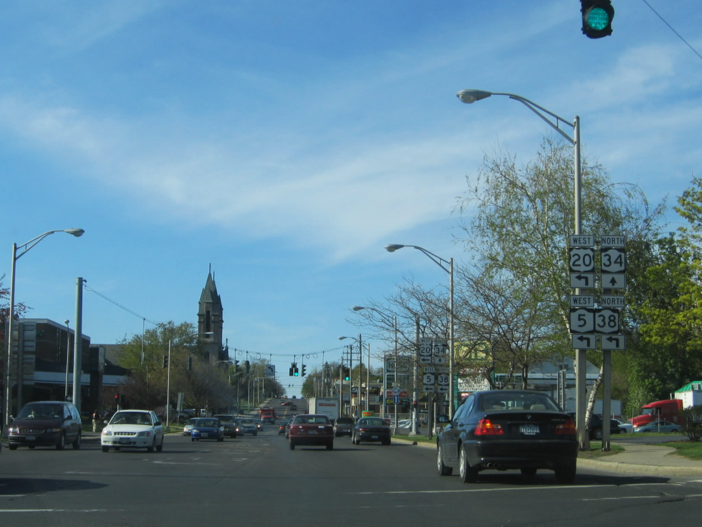
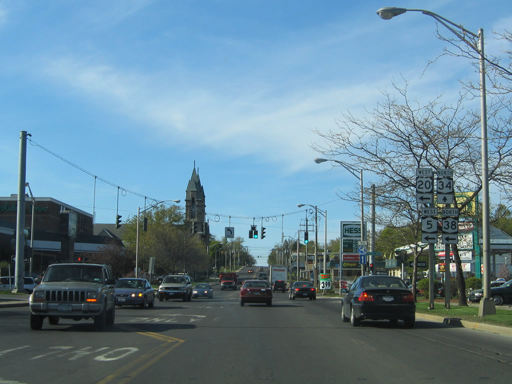
Approaching Genesee Street, a former alignment of U.S. 20, on NY 34/38 (South Street) north in Downtown Auburn.
05/09/05
Genesee Street leads west to become part of NY 326 at Veterans Memorial Parkway. Eastward, U.S. 20 joins the street from John Street south after the split with NY 5.
05/09/05
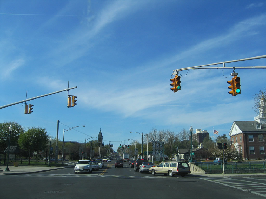
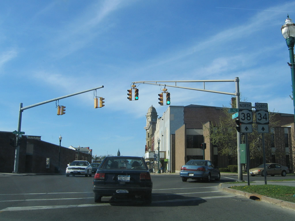
Loop Road west and Dill Street east come together along the northern half of the Downtown Auburn loop at NY 34/38 (South Street).
05/09/05

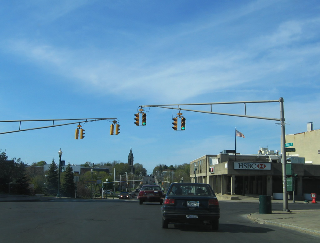
NY 34/38 cross the Owasco Outlet bridge ahead of U.S. 20/NY 5 (Arterial E) east. U.S. 20/NY 5 conclude their 67.6 mile overlap just to the east at John Street. U.S. 20 continues to Skaneateles while NY 5 turns northeast to Long Bridge and Syracuse.
05/09/05
NY 34/38 split at U.S. 20/NY 5 (Arterial W) west. NY 38 dog legs west along U.S. 20/NY 5 to State Street north toward Port Byron. NY 34 continues north seven miles to Weedsport and Interstate 90 (New York Thruway).
05/09/05
U.S. 20/NY 5 join Auburn with Seneca Falls, Waterloo, Geneva and Canandaigua across the north Finger Lakes area. The two remain cosigned west to Avon.
05/09/05
Photo Credits:
- Alex Nitzman: 05/09/05
Connect with:
Page Updated Tuesday March 17, 2020.