
Route 90
NY 90 forms an L-shaped route in the Finger Lakes Region, 53 miles south from NY 31 at Montezuma to U.S. 11/NY 41 in Homer. The state route heads west from the Cortland area to Summerhill, Locke and Cayuga Lake. Following the east shore of the lake, NY 90 runs north through the villages of Aurora, Union Springs and Cayuga.
NY 90 originally continued south alongside U.S. 11/NY 41 (Main Street) to NY 13 (Tompkins Street) in Cortland and along NY 13 southwest to NY 215 (Owego Street). The state route extended southward along NY 215 to Virgil and eastward on NY 392 to East Virgil and U.S. 11 at Messengerville.
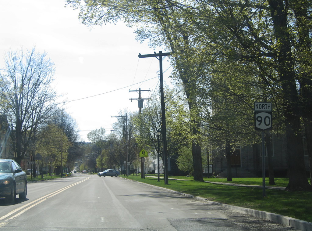
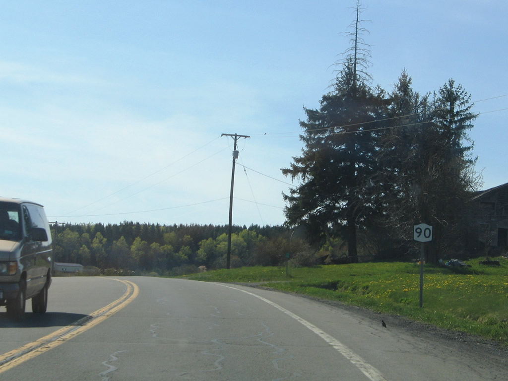
NY 90 begins from U.S. 11/NY 41 (Main Street) along Cayuga Street west in the village of Homer.
05/09/05
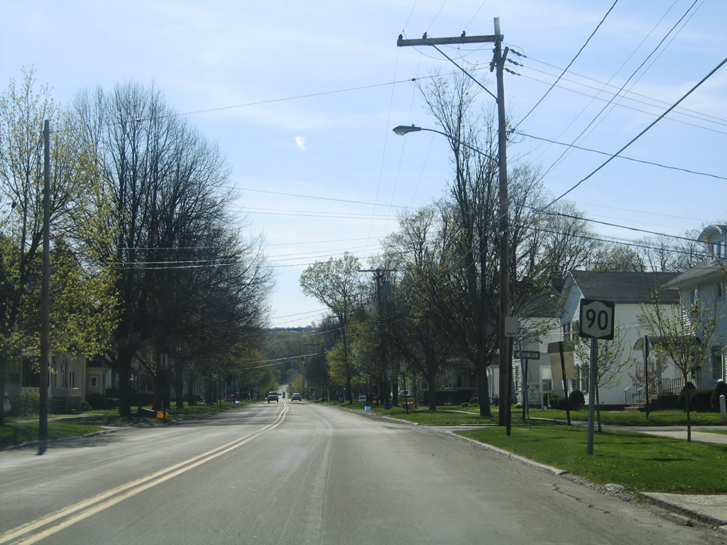
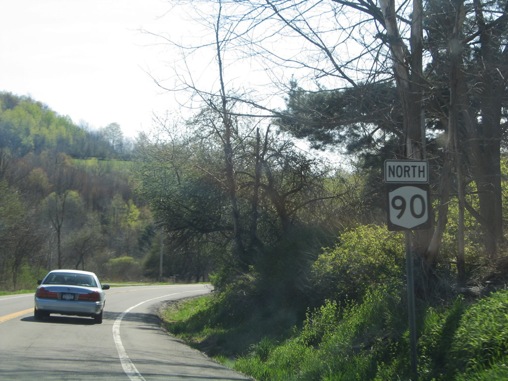
A second reassurance marker for NY 90 west stands along Cayuga Street street at Central Park Place in Homer.
05/09/05
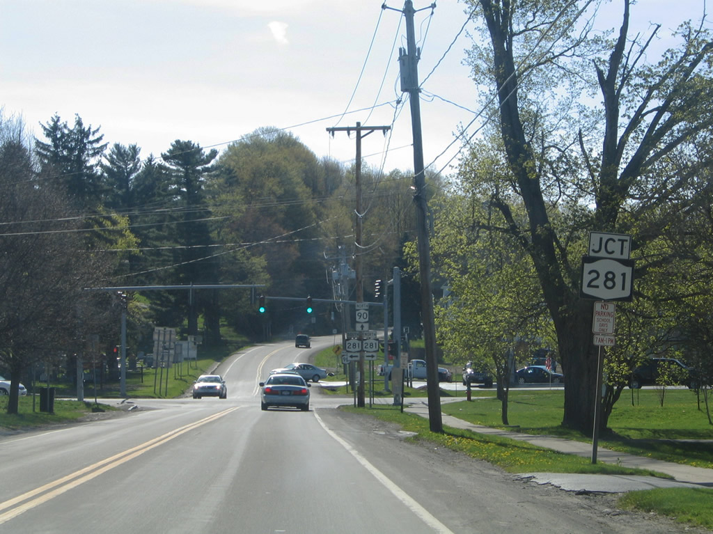
NY 90 (Cayuga Street) intersects NY 281 (West Street) 0.63 miles west of U.S. 11/NY 41 in Homer.
05/09/05
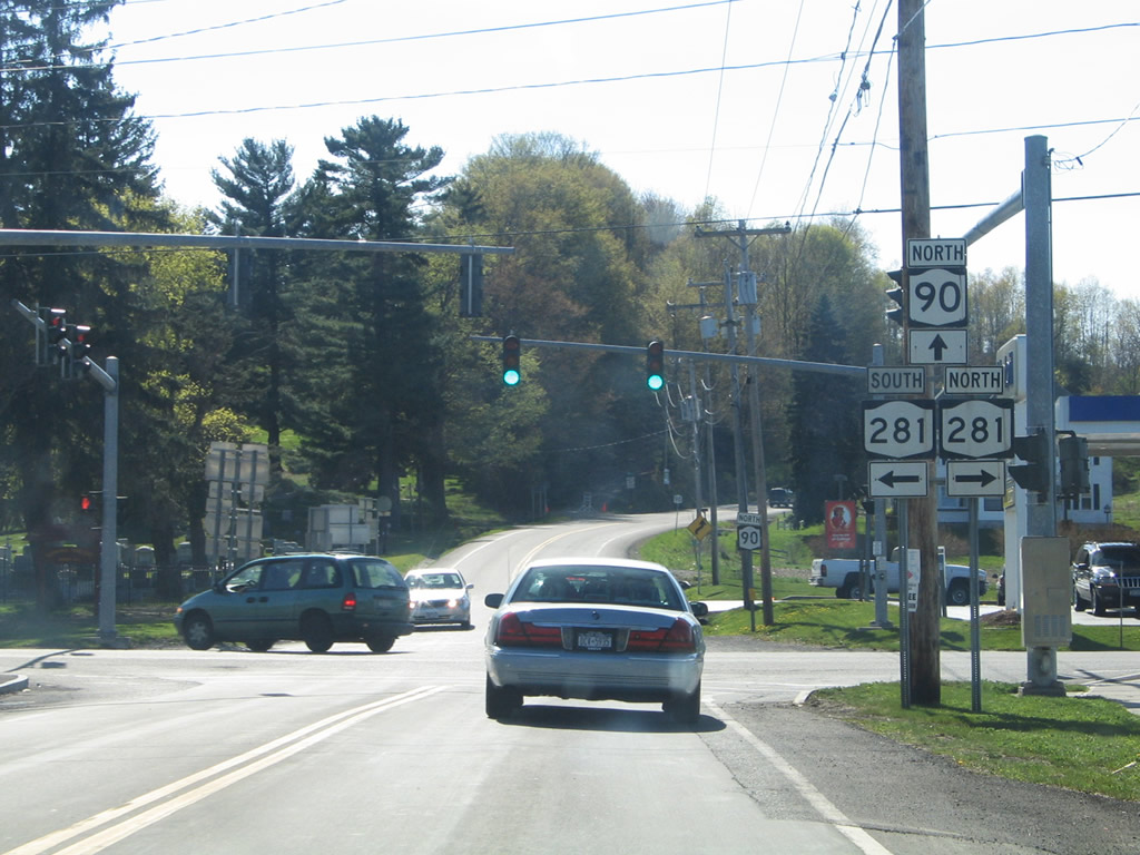
NY 281 travels along the western periphery of Cortland and Homer north from its beginning at NY 13 (Tompkins Street). The state route parallels the West Branch of the Tioughnioga River, I-81 and U.S. 11 north to Tully along a 16.56 mile course.
05/09/05
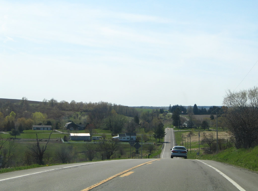
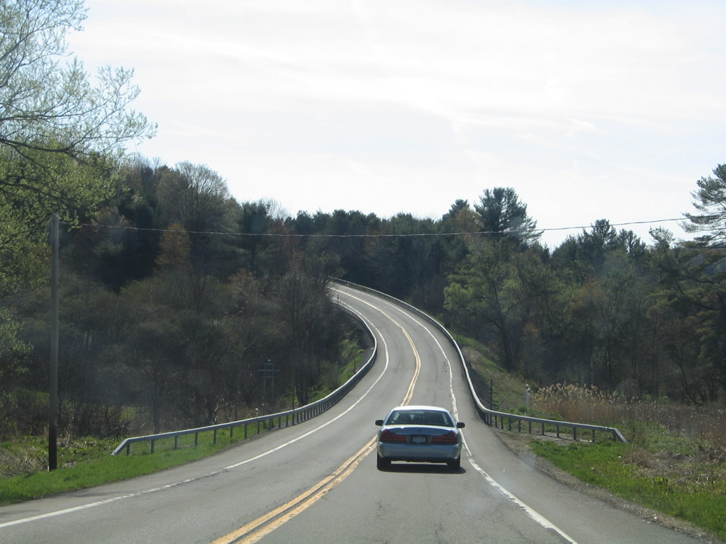
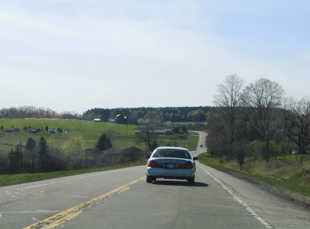
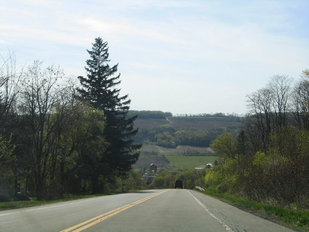
Climbing onto Cosmos Hill, NY 90 rises over 430 feet in elevation from Homer west to Foster Road.
05/09/05
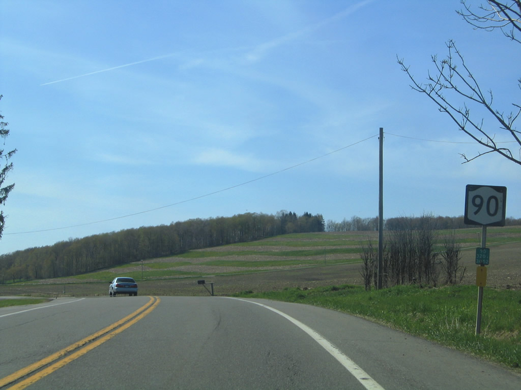
Reassurance marker for NY 90 north posted near Harrison Road.
05/09/05
County Route 111 (Kinney Gulf Road) ties into NY 90 northwest from the town of Cortlandville ahead of this shield assembly.
05/09/05
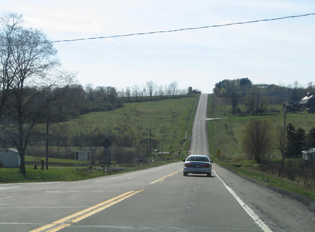
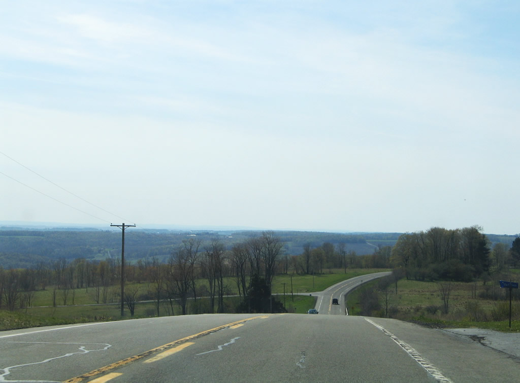
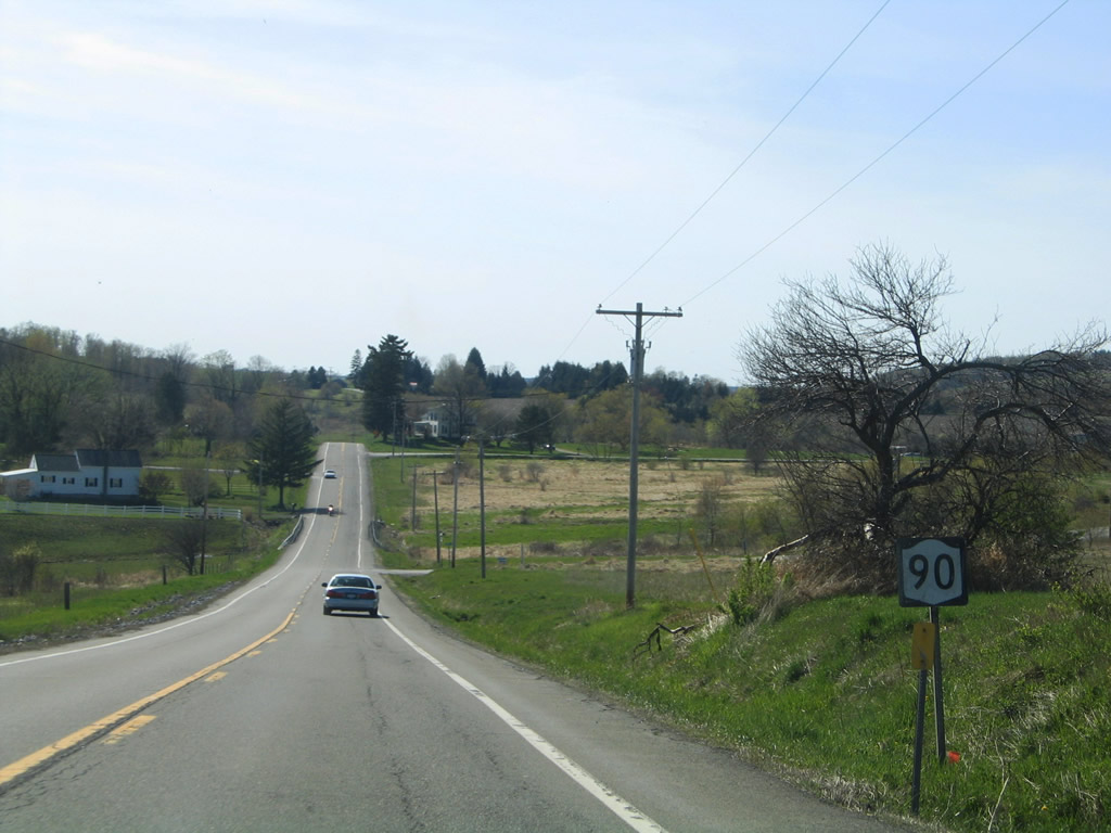
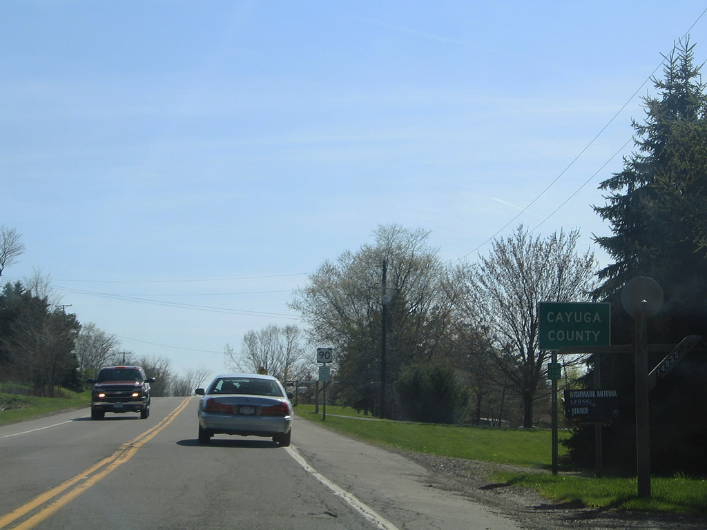
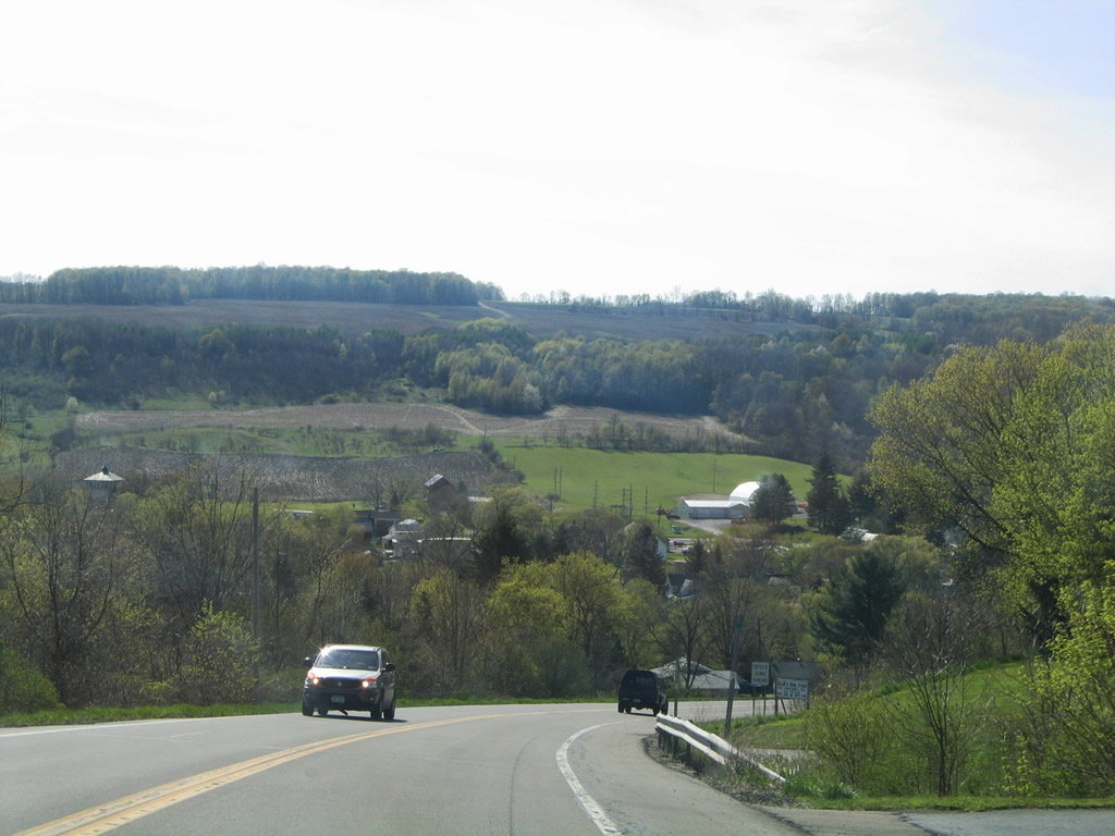
Winding westward, NY 90 enters Cayuga County ahead of Halls Corner.
05/09/05
Sinking westward, NY 90 crosses Fall Creek before ascending again to the intersection with Lake Como Road.
05/09/05
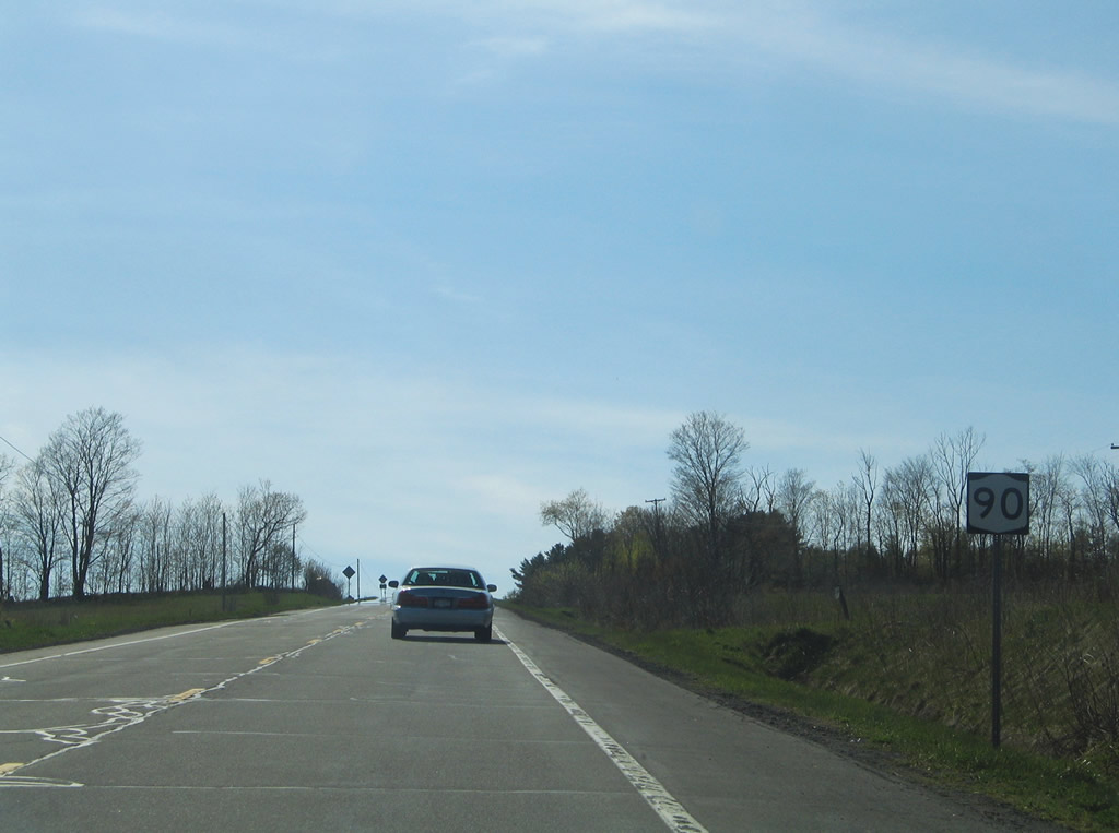
Continuing west through the town of Summerhill, NY 90 intersects Champlin Road.
05/09/05
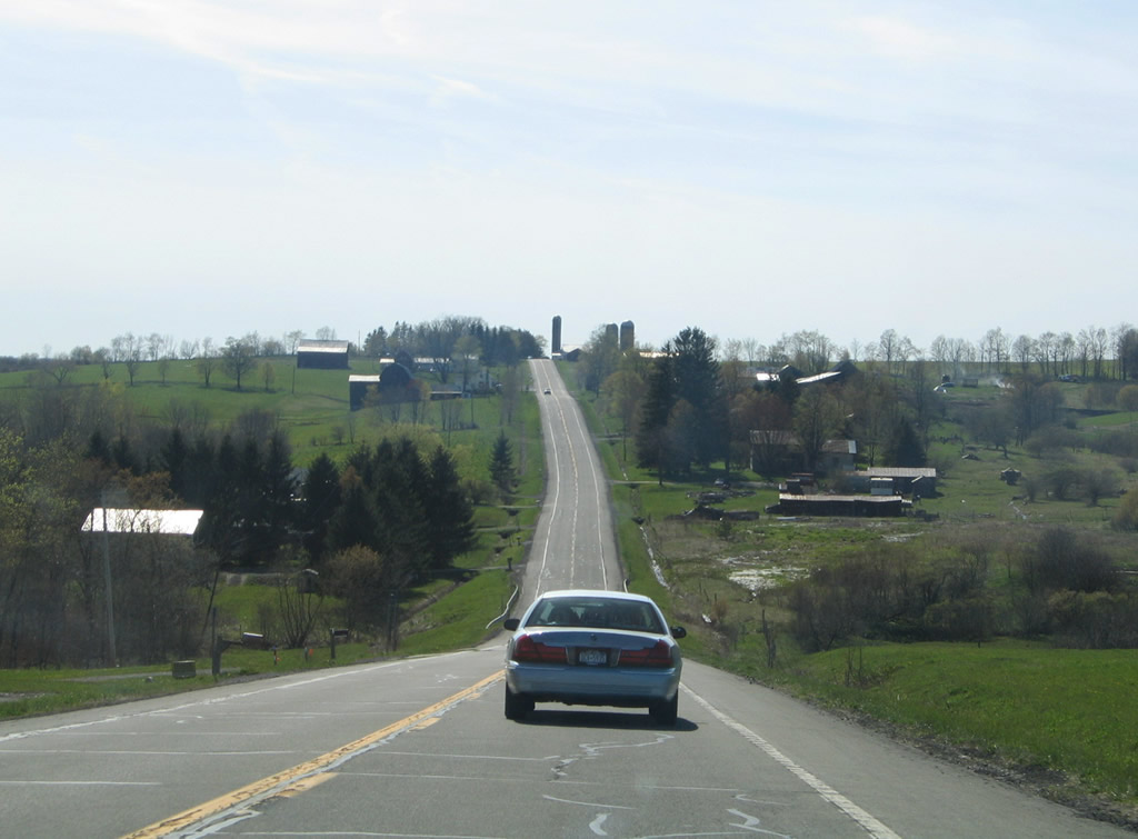
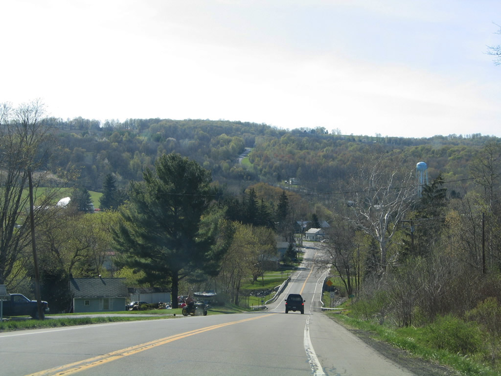
NY 90 reaches the Summer Hill town center at Salt Road.
05/09/05
Lick Street intersects NY 90 west of Webster Brook in the town of Summer Hill.
05/09/05
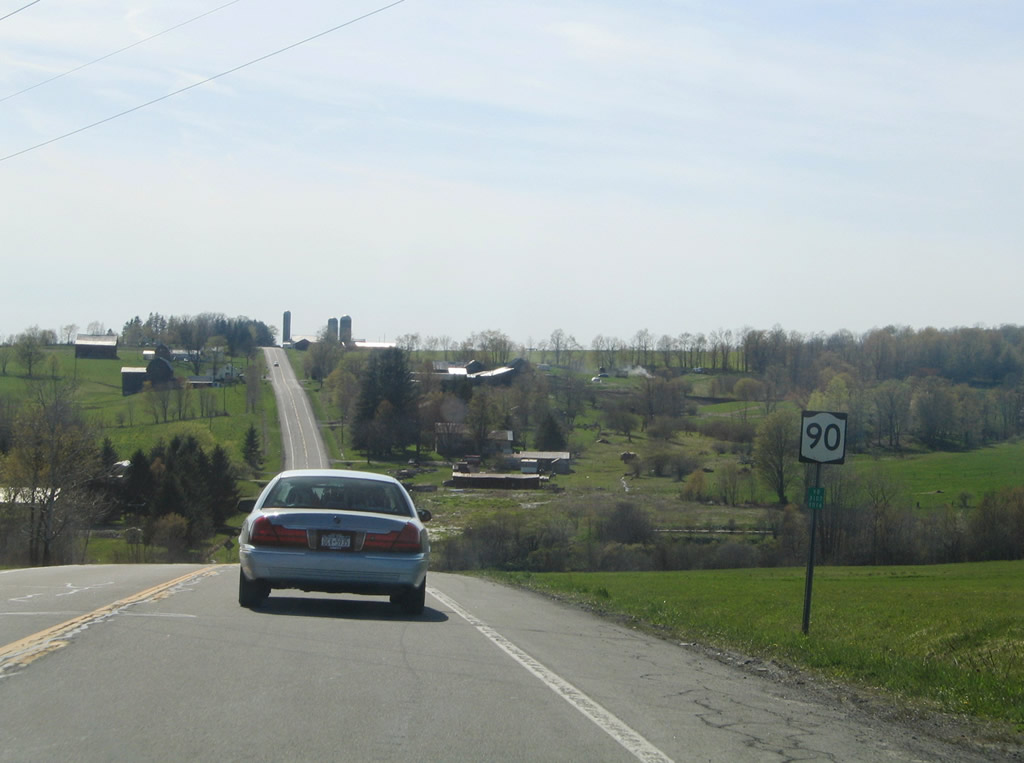
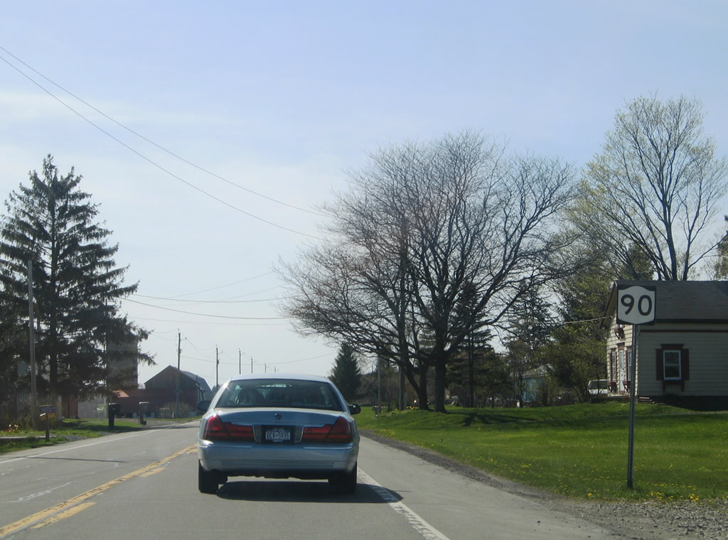
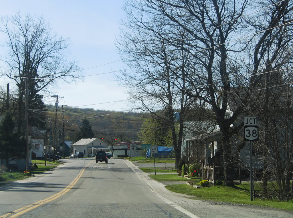
Chipman Corners Road leads south from NY 90 to Chipman Corners and NY 38 outside the village of Groton.
05/09/05
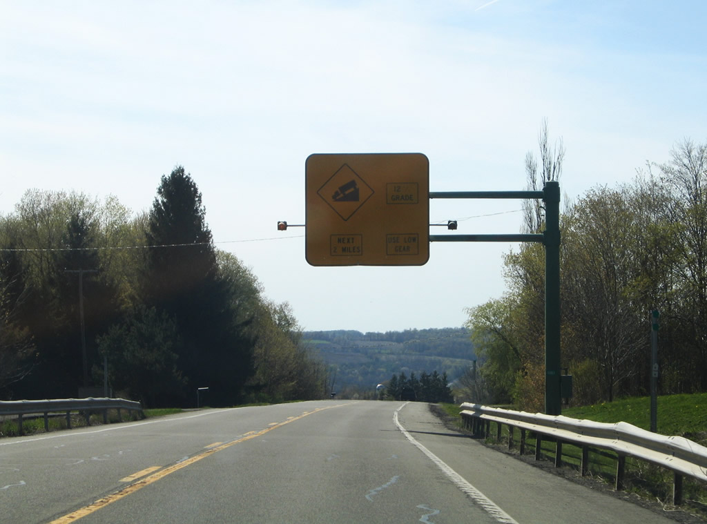
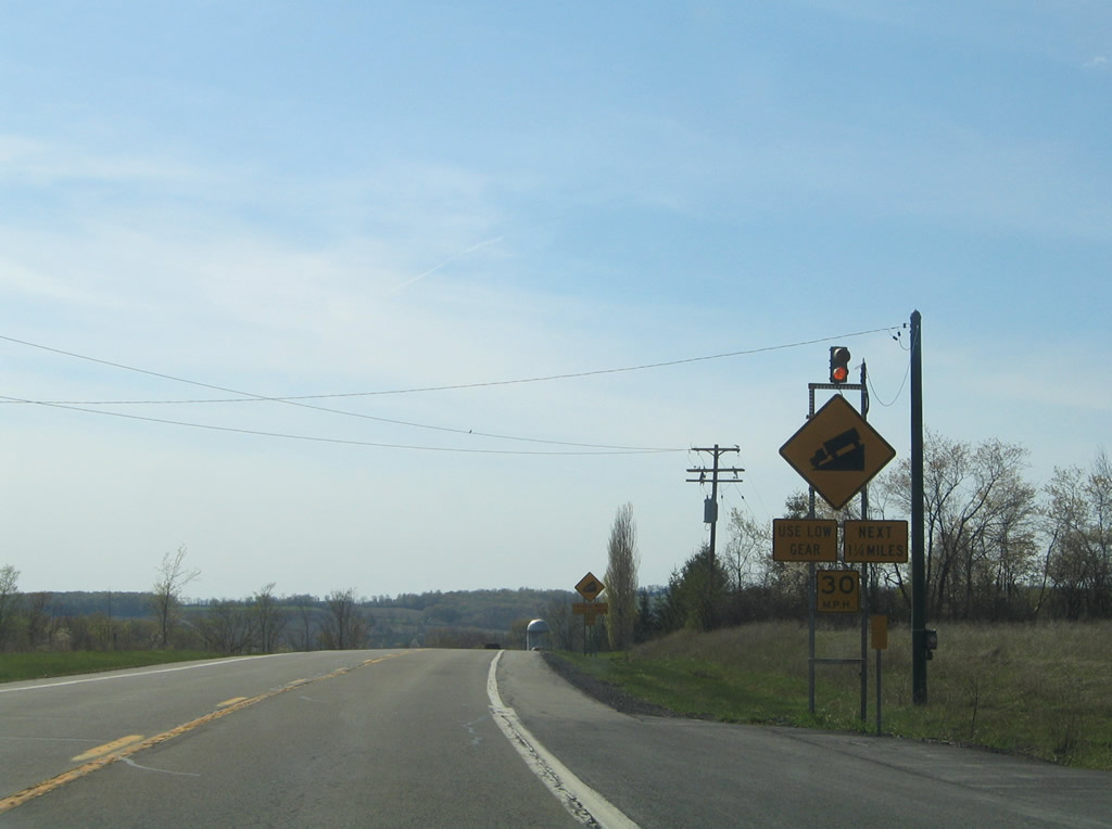
A series of warning signs precede the 12% grade along NY 90 west from Shaw Corners into Locke. The overhead posted west of Powers Road as replaced with a ground level sign.
05/09/05
NY 90 drops from an elevation of 1,400 feet above sea level at Shaw Corners to 800 feet at Owasco Inlet in Locke.
05/09/05
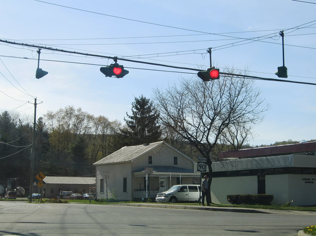
Lowering into the Locke town center, NY 90 spans Owasco Inlet.
05/09/05
NY 90 (Water Street) next intersects NY 38 (Main Street) in Locke.
05/09/05
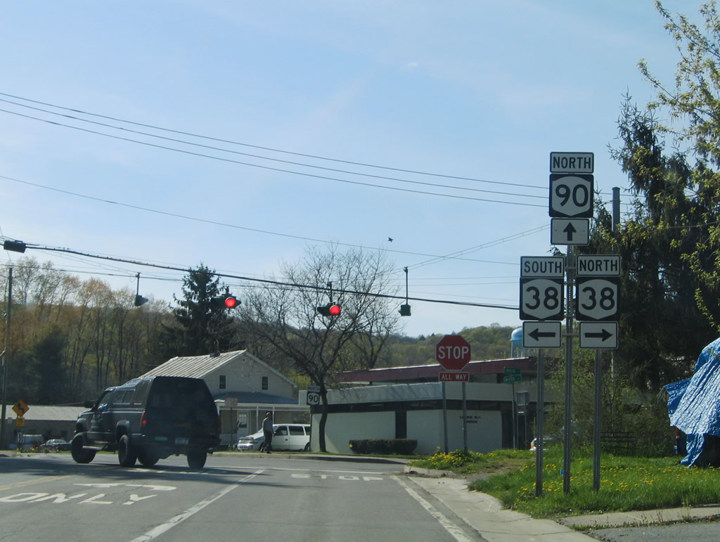
NY 38 travels six miles south to Groton and four miles north to Moravia and Fillmore Glen State Park. Overall the state route travels 95.67 miles from Owego to Sterling.
05/09/05
NY 90 north arcs southward to circumvent Jewett Hill on the westward drive to Genoa from Locke.
05/09/05
Photo Credits:
- Alex Nitzman: 05/09/05
Connect with:
Page Updated Tuesday March 10, 2020.