
U.S. 1 North - Lexington to Columbia
 North
North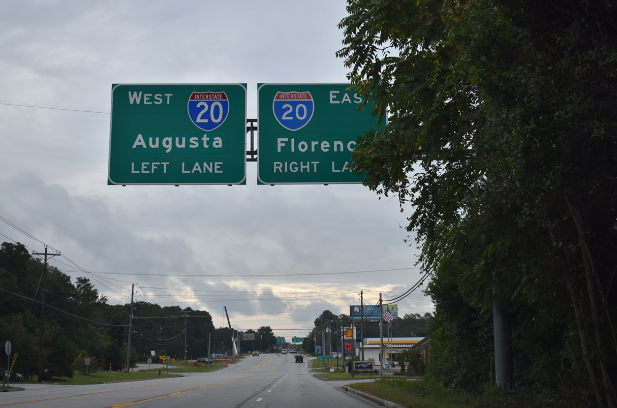
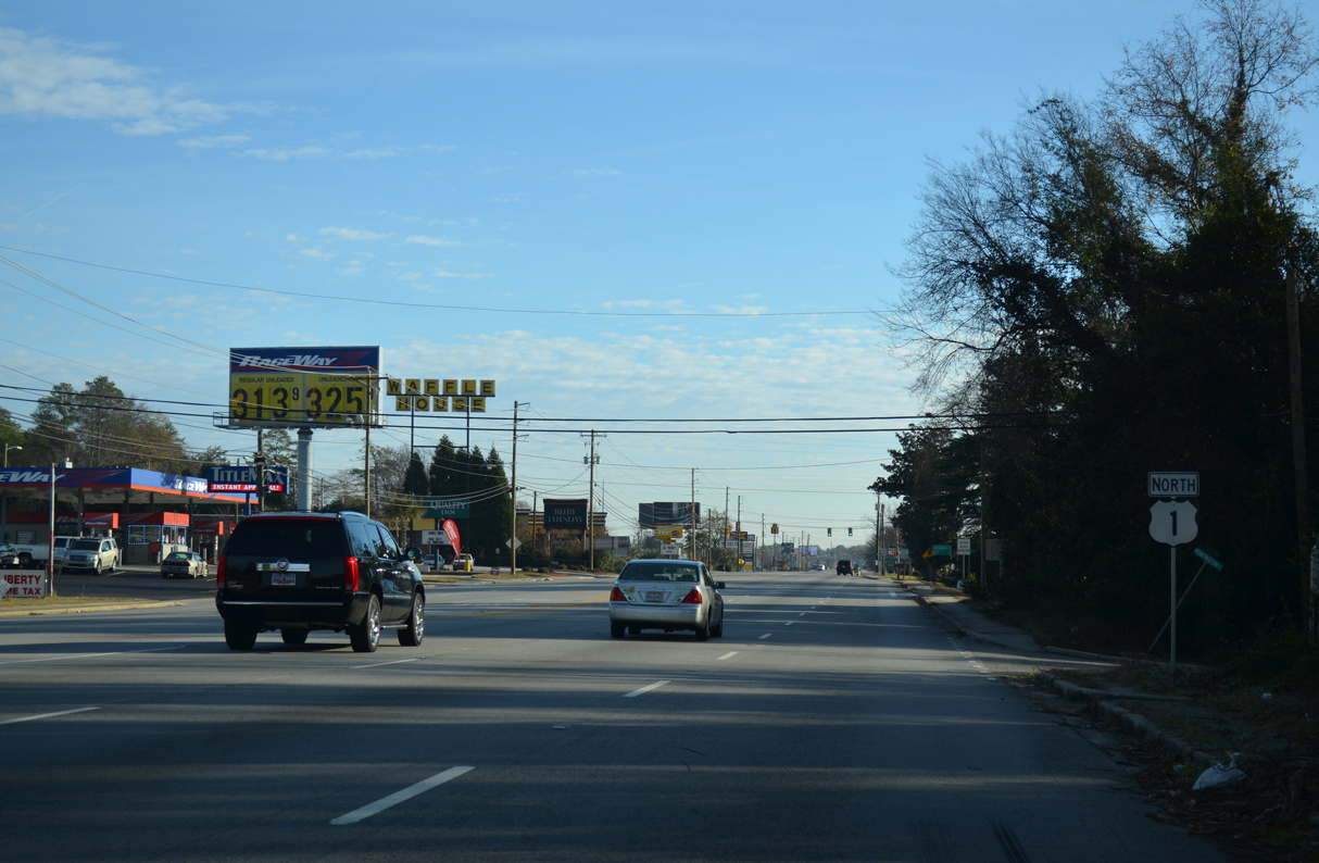
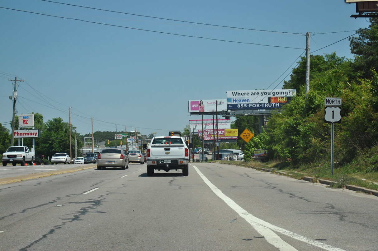
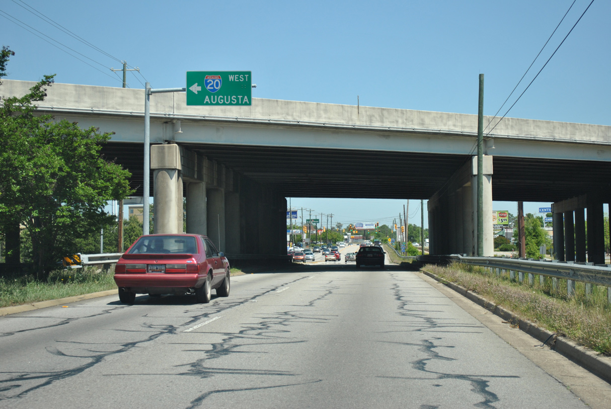
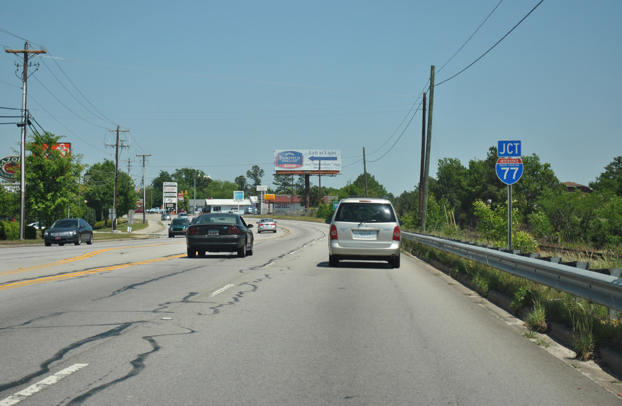
Leaving the town limits of Lexington, U.S. 1 (Augusta Road) northbound advances to a parclo A2 interchange (Exit 58) with Interstate 20.
09/20/21
09/20/21
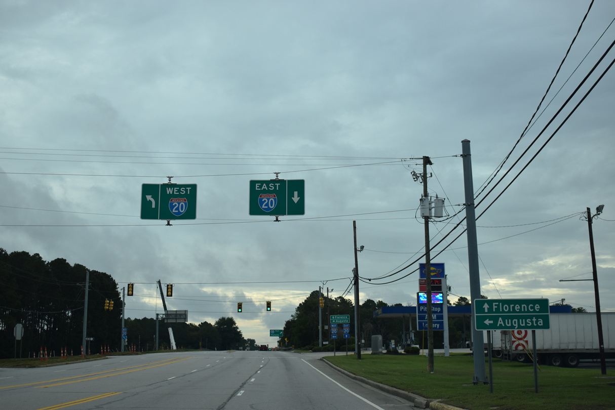
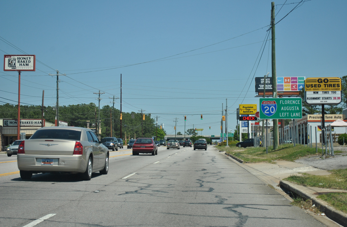
The exchange joining U.S. 1 and I-20 at Exit 58 is the second of three between the two routes.
09/20/21
09/20/21
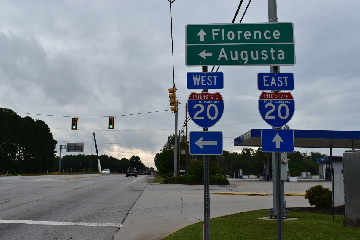
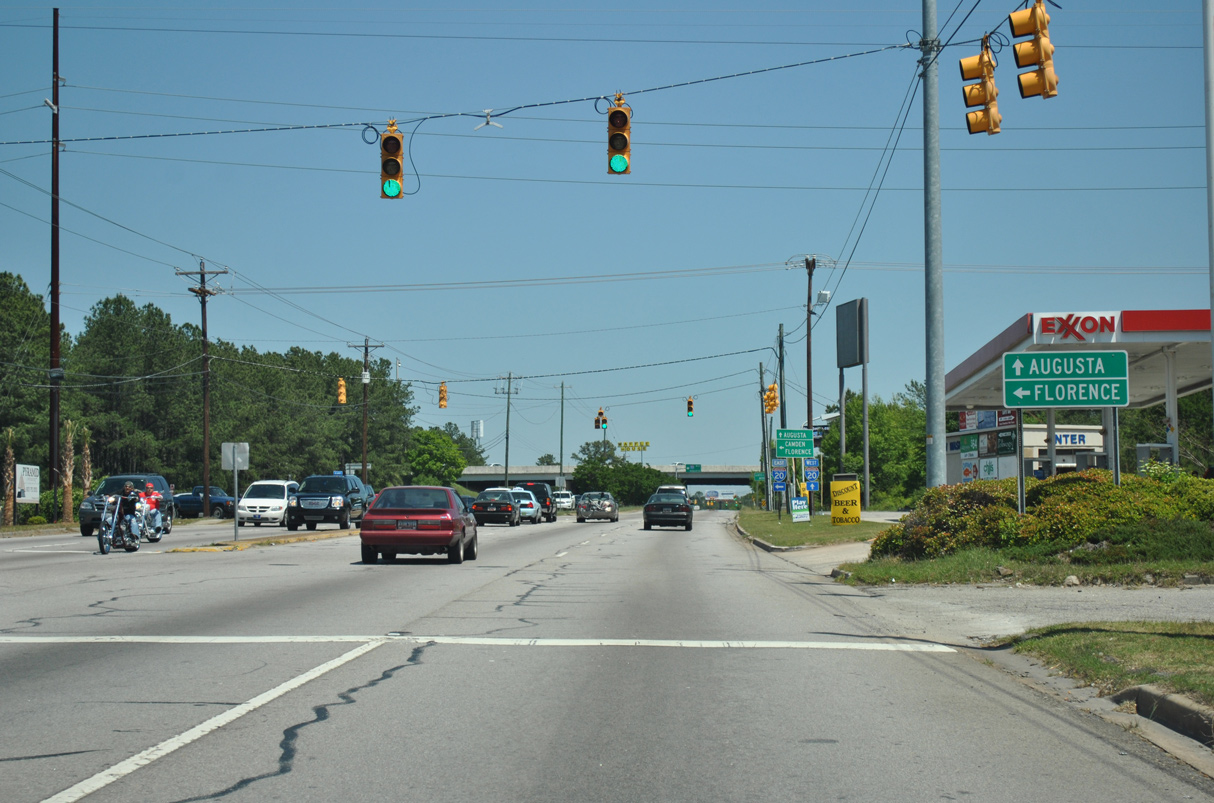
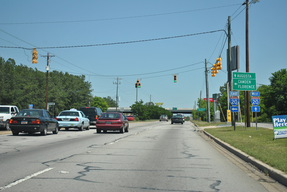
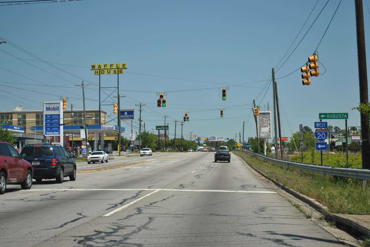
Interstate 20 travels west toward Aiken and North August and east across northern reaches of Columbia to U.S. 1 again at Dentsville.
09/20/21
09/20/21
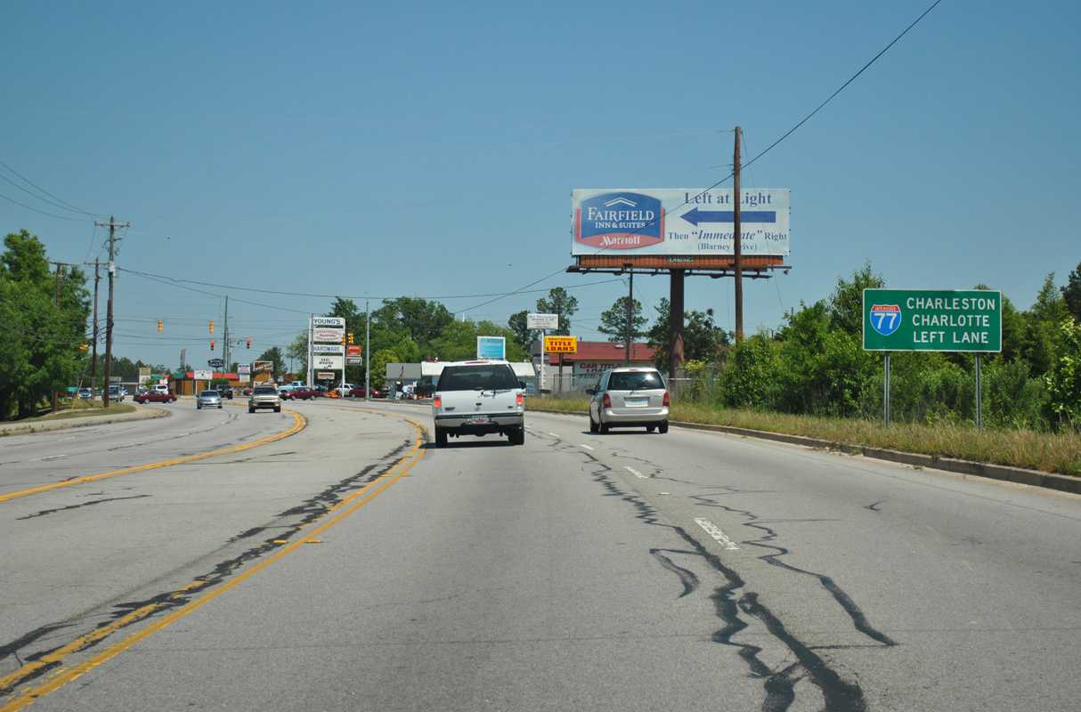
Confirming marker posted along Augusta Road east after the cloverleaf interchange with Interstate 26.
12/31/12
12/31/12
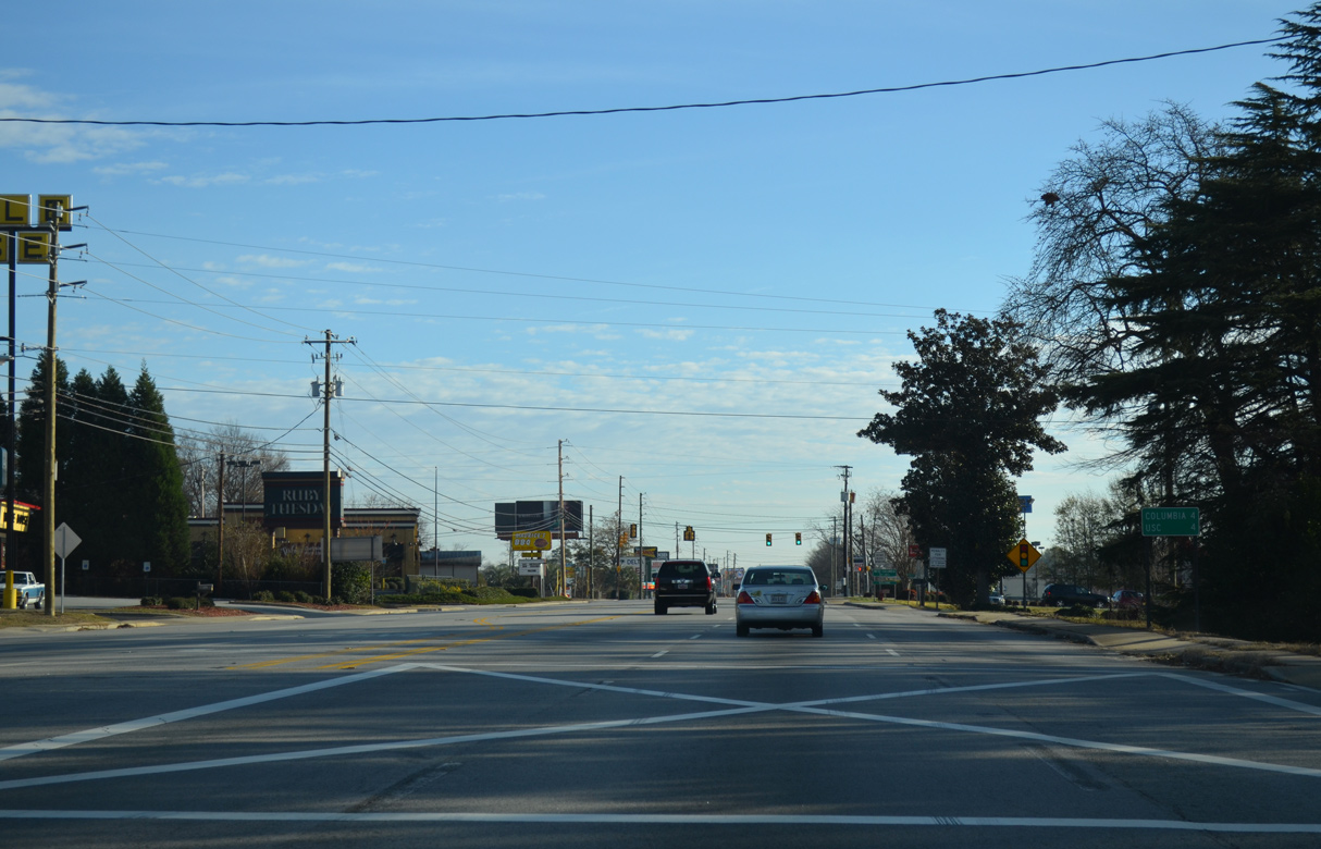
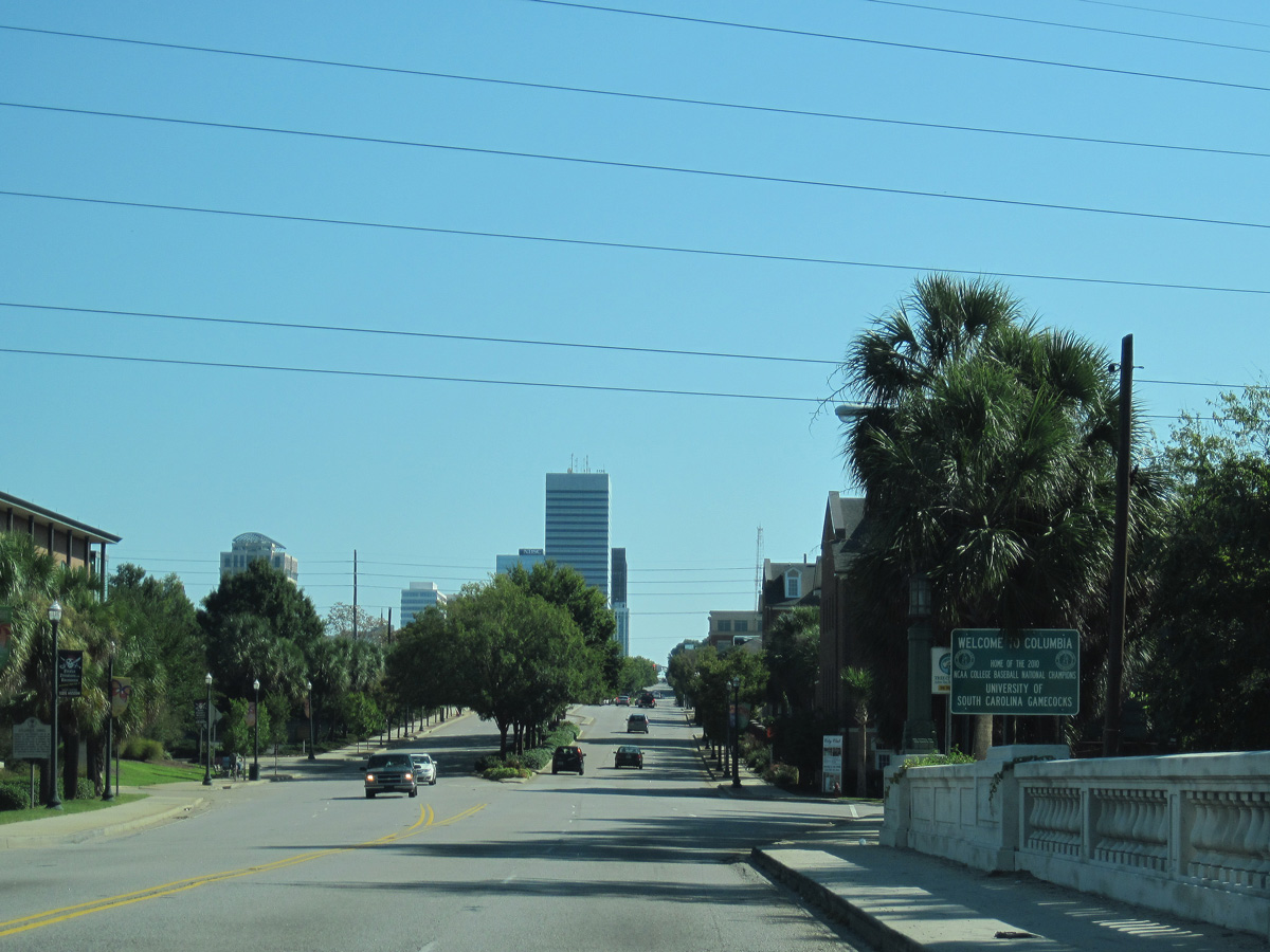
U.S. 1 continues four miles east from I-26 to Columbia and the University of South Carolina (USC).
12/31/12
12/31/12
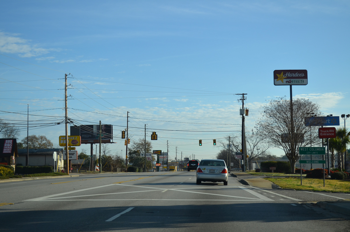
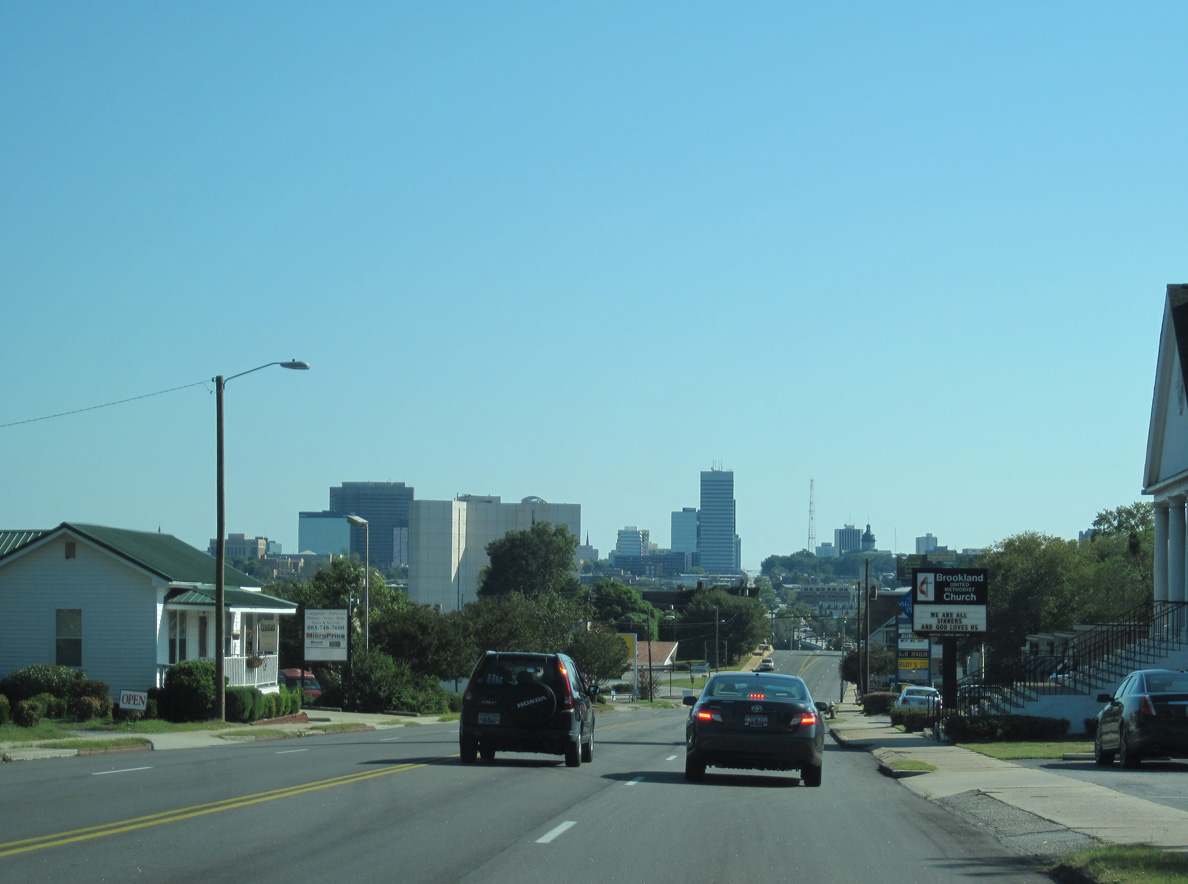
U.S. 1 (Augusta Road) proceeds east into the city of West Columbia at Lesley Drive.
12/31/12
12/31/12
12/31/12
12/31/12
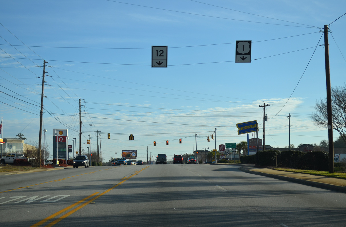
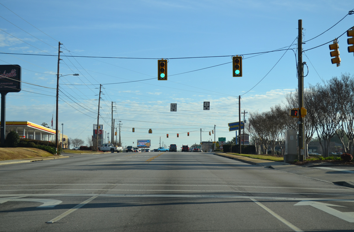
S.C. 12 branches east from U.S. 1 (Augusta Road) along Jarvis Klapman Boulevard, a controlled access arterial and expressway to Columbia.
12/31/12
12/31/12
12/31/12
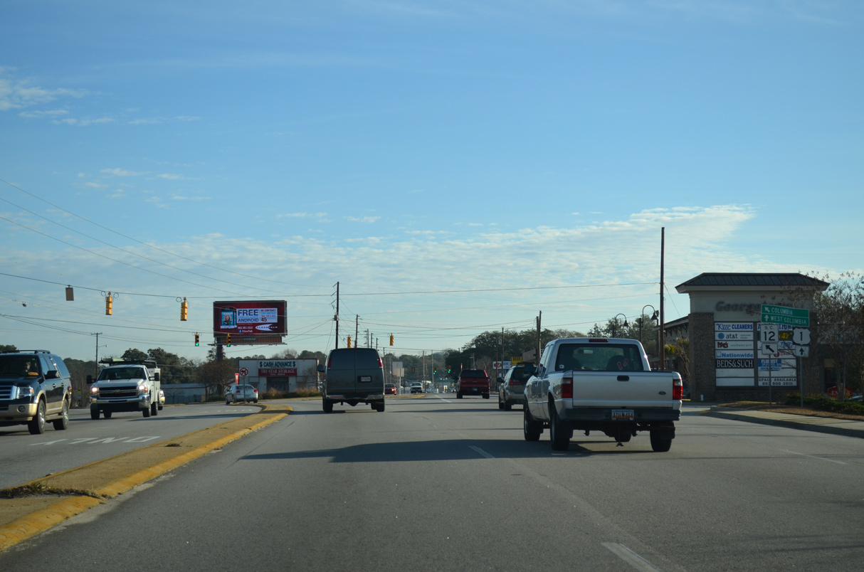
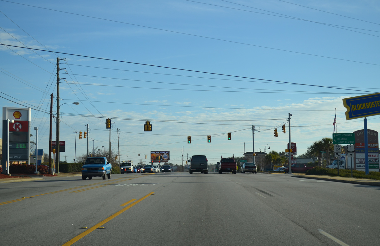
Paralleling U.S. 1 to the north, S.C. 12 (Jarvis Klapman Boulevard) east meets U.S. 1 again at the Waverly neighborhood east of Downtown Columbia.
12/31/12
12/31/12

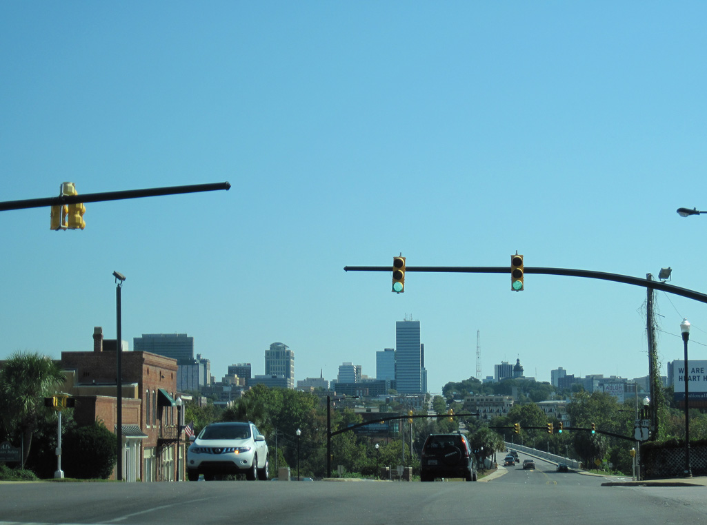
U.S. 1 shifts onto Meeting Street east from S.C. 35 (12th Street) across West Columbia. 9th Street (S.C. 12 Connector) links U.S. 1 with S.C. 12 and U.S. 378 to the north.
10/03/10
10/03/10
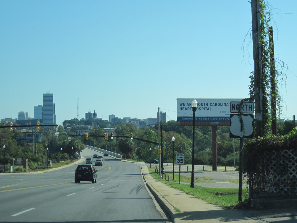
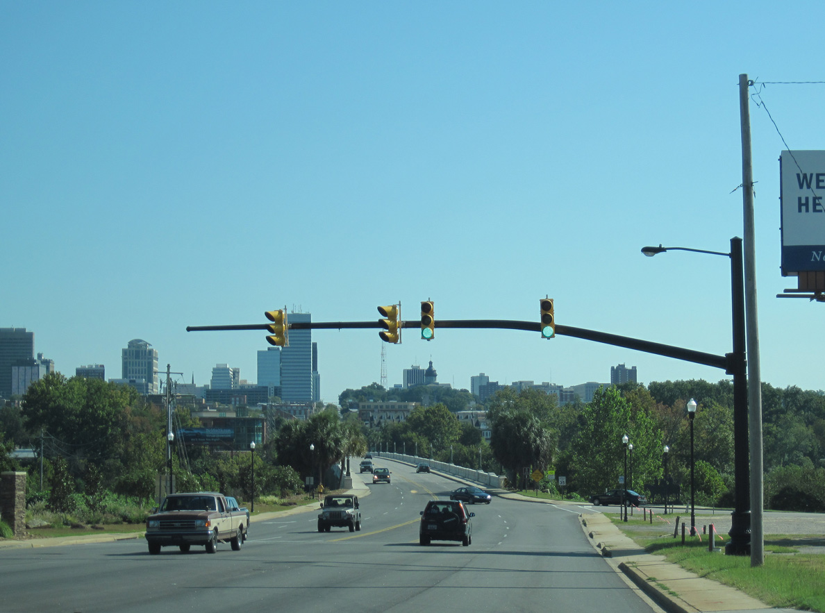
U.S. 1 lowers east along Meeting Street toward Downtown Columbia.
10/03/10
10/03/10
Unmarked along U.S. 1 (Meeting Street), State Street south from adjacent U.S. 378 is S.C. 2. S.C. 2 is a 3.94 mile long route south and west to U.S. 21/176/321 through Cayce.
10/03/10
10/03/10
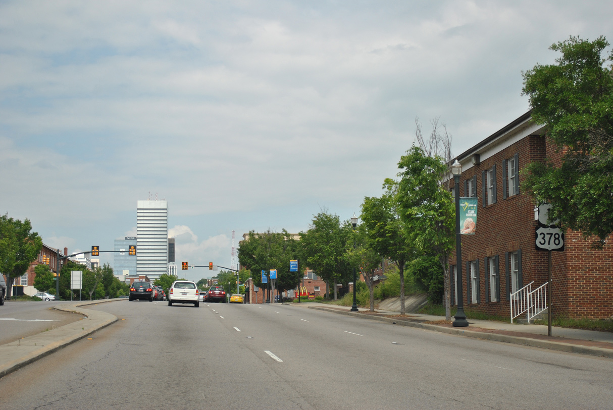
U.S. 378 combines with U.S. 1 (Meeting Street) east from Sunset Boulevard just beyond S.C. 2 (State Street).
10/03/10
10/03/10
U.S. 1/378 overlap 2.58 miles east from West Columbia to Millwood Avenue in Columbia.
10/03/10
10/03/10
North  East
East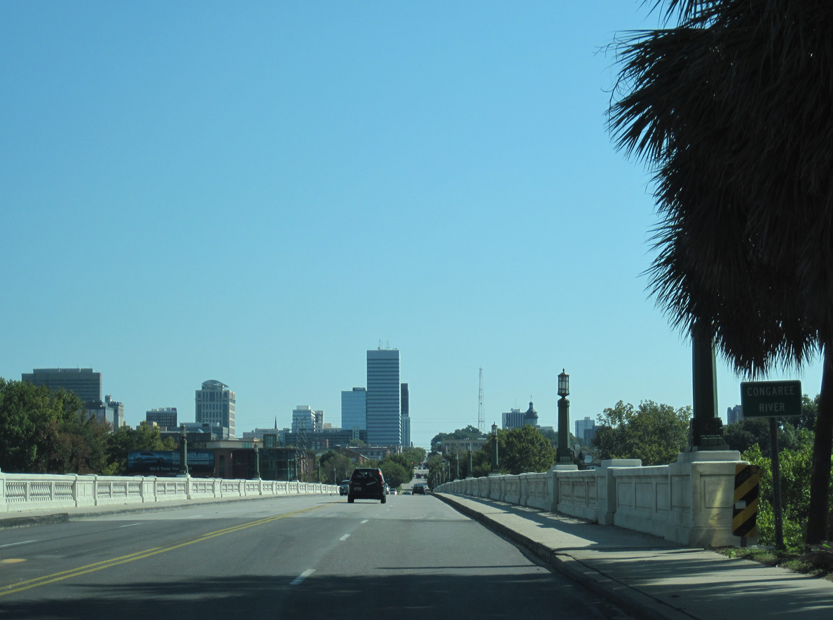
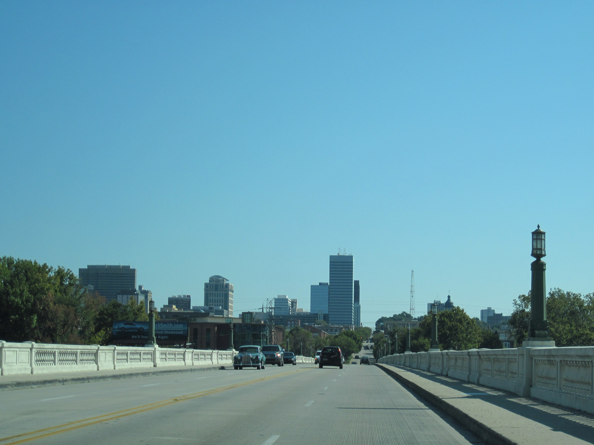
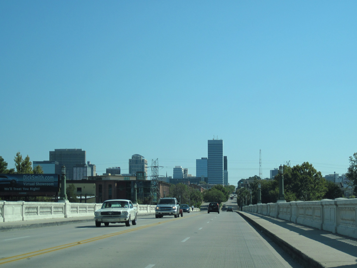
U.S. 1/378 span the Congaree River across the Gervais Street Bridge.
10/03/10
10/03/10
10/03/10
10/03/10
10/03/10
Reassurance markers for U.S. 1/378 posted along Gervais Street at Williams Street were removed by 2018.
04/15/12
04/15/12
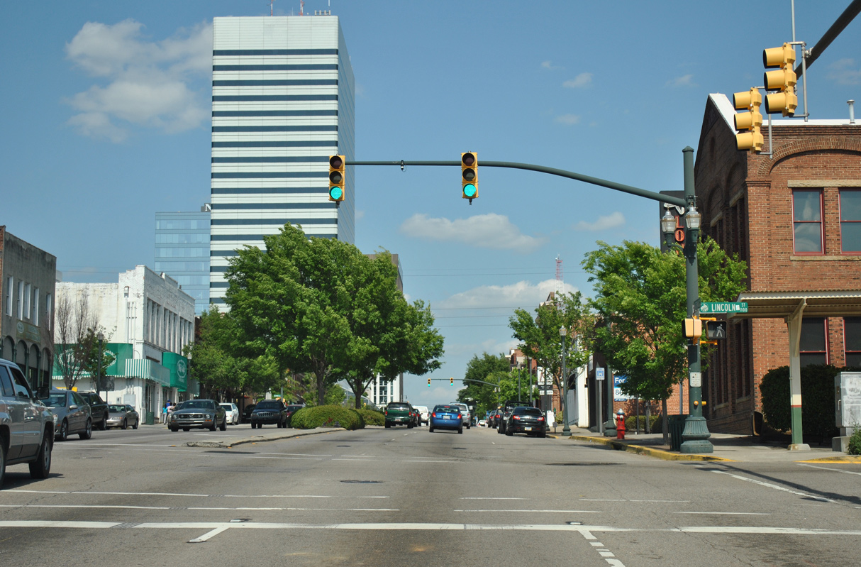
Gervais Street east at Lincoln Street.
04/14/12
04/14/12
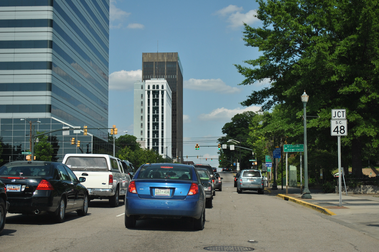
S.C. 48 (Assembly Street) runs north to U.S. 21/76/176/321 (Elmwood Avenue) in Columbia and southeast to Gadsden and U.S. 601 at Wateree.
04/14/12
04/14/12
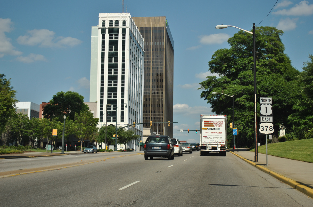
U.S. 1/378 (Gervais Street) continue east from S.C. 48 (Assembly Street) by the South Carolina State House.
04/14/12
04/14/12
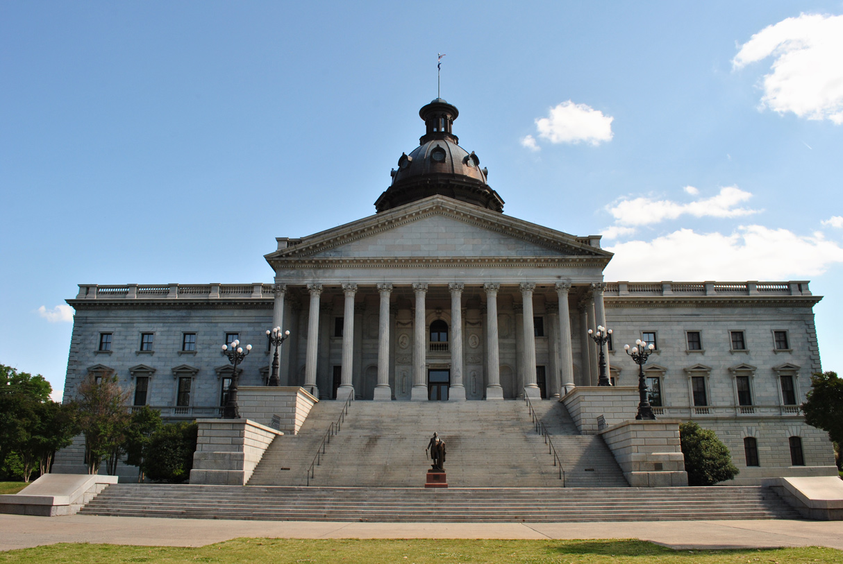
The South Carolina State Capitol lines the south side of Gervais Street.
04/14/12
04/14/12
North  East
East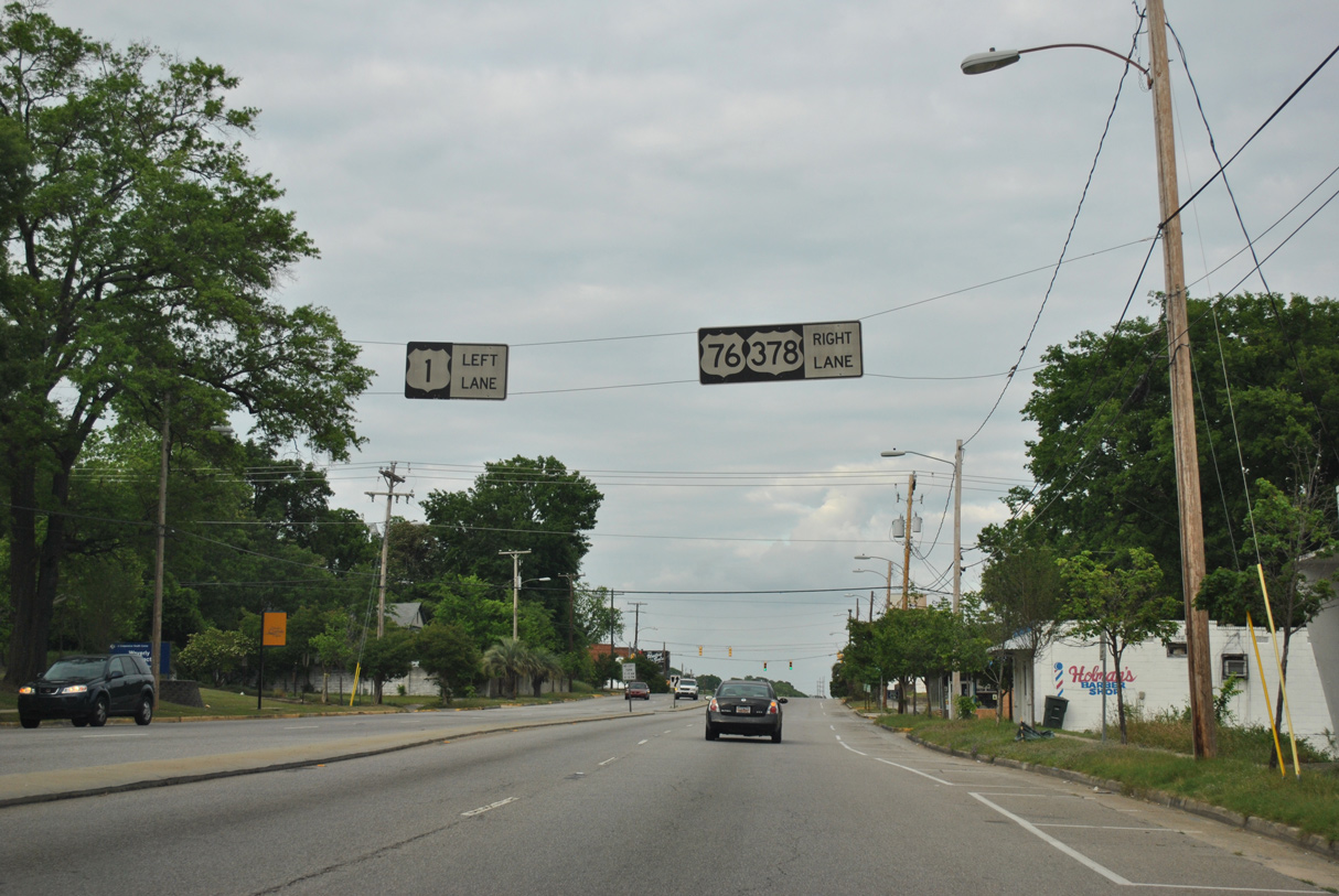
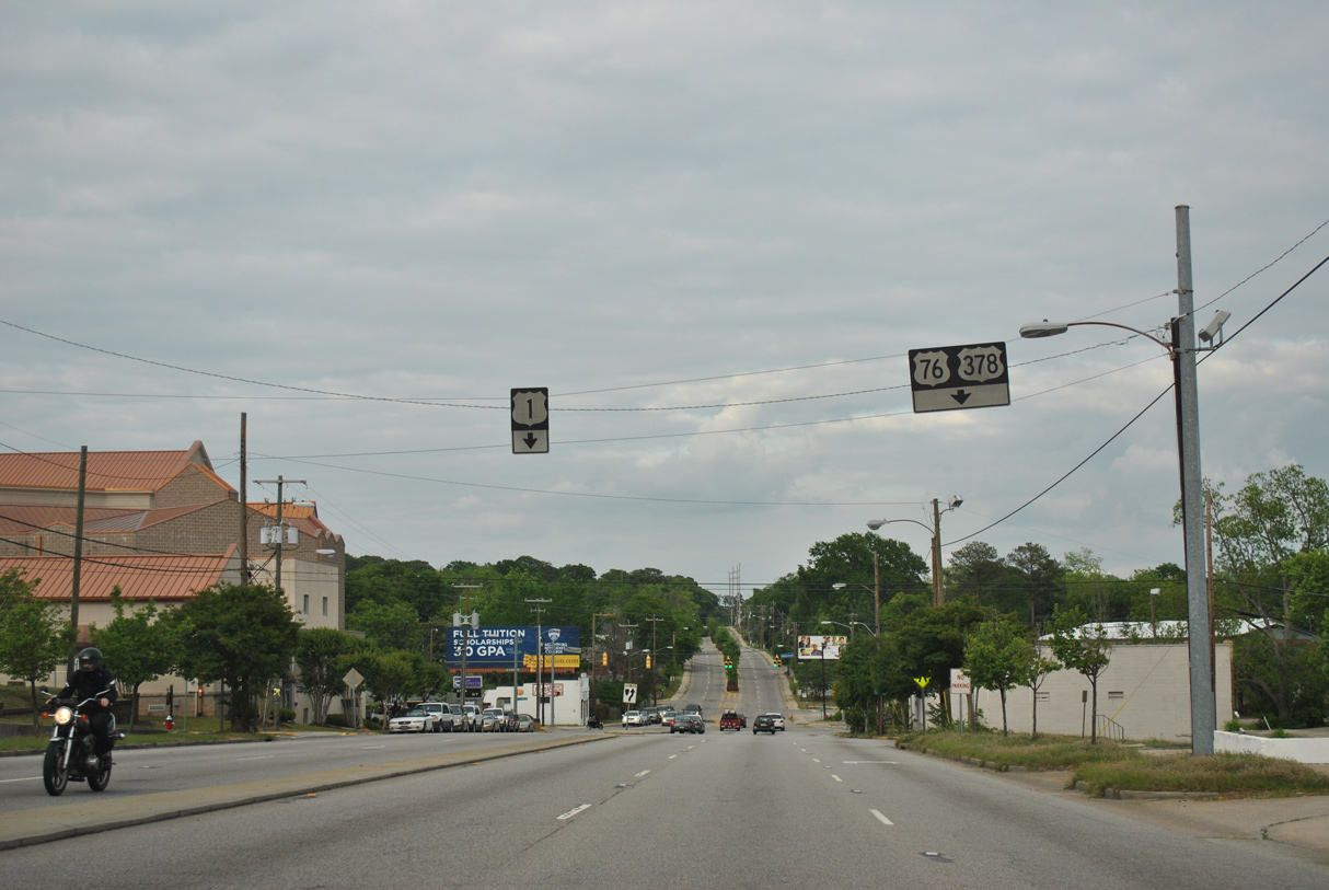
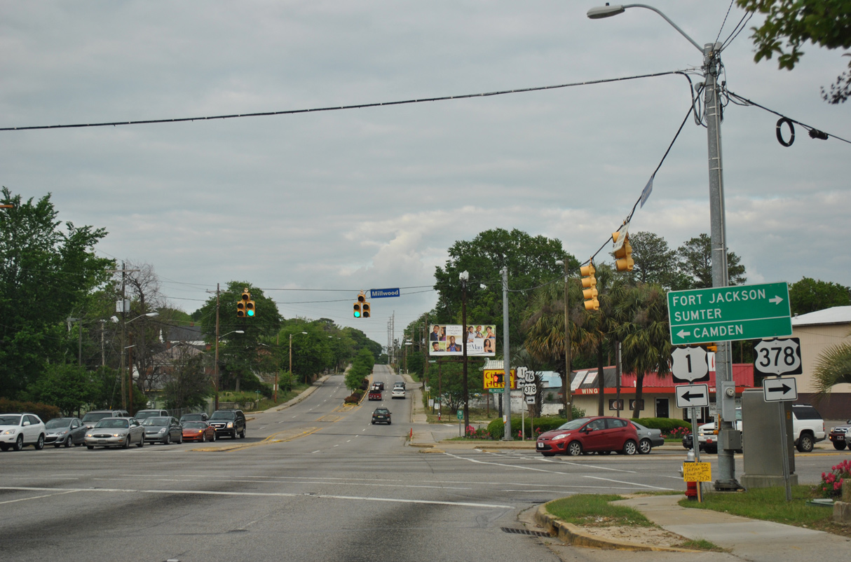
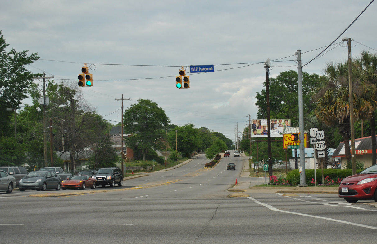
U.S. 76 combines with U.S. 1/378 (Gervais Street) for ten blocks east to Millwood Avenue.
04/15/12
04/15/12

04/15/12
U.S. 76/378 continue southeast along Millwood Avenue by the Melrose Heights neighborhood onto Devine Street between the Heathwood and Rosewood communities. U.S. 1 lines Millwood Avenue north to S.C. 12 (Forest Drive) at Two Notch Road.
04/15/12
04/15/12
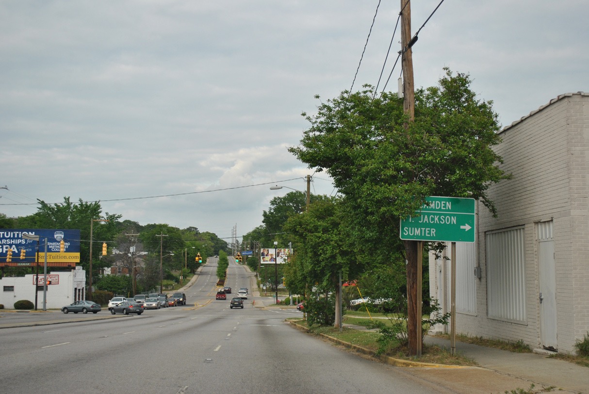
U.S. 76/378 pass south of Fort Jackson en route to Sumter.
04/15/12
04/15/12
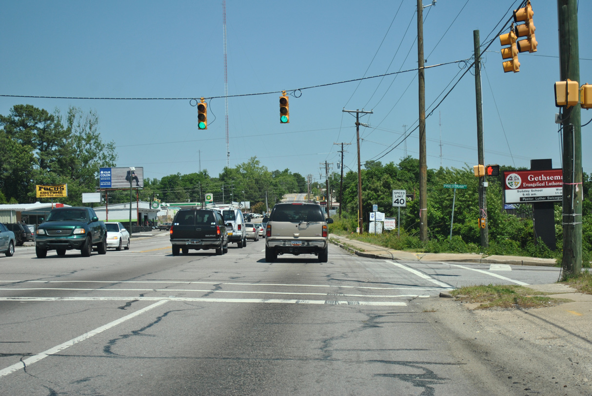
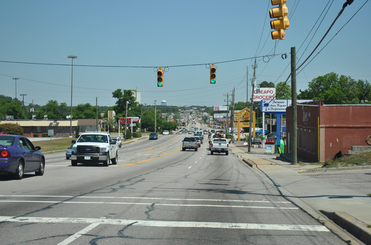
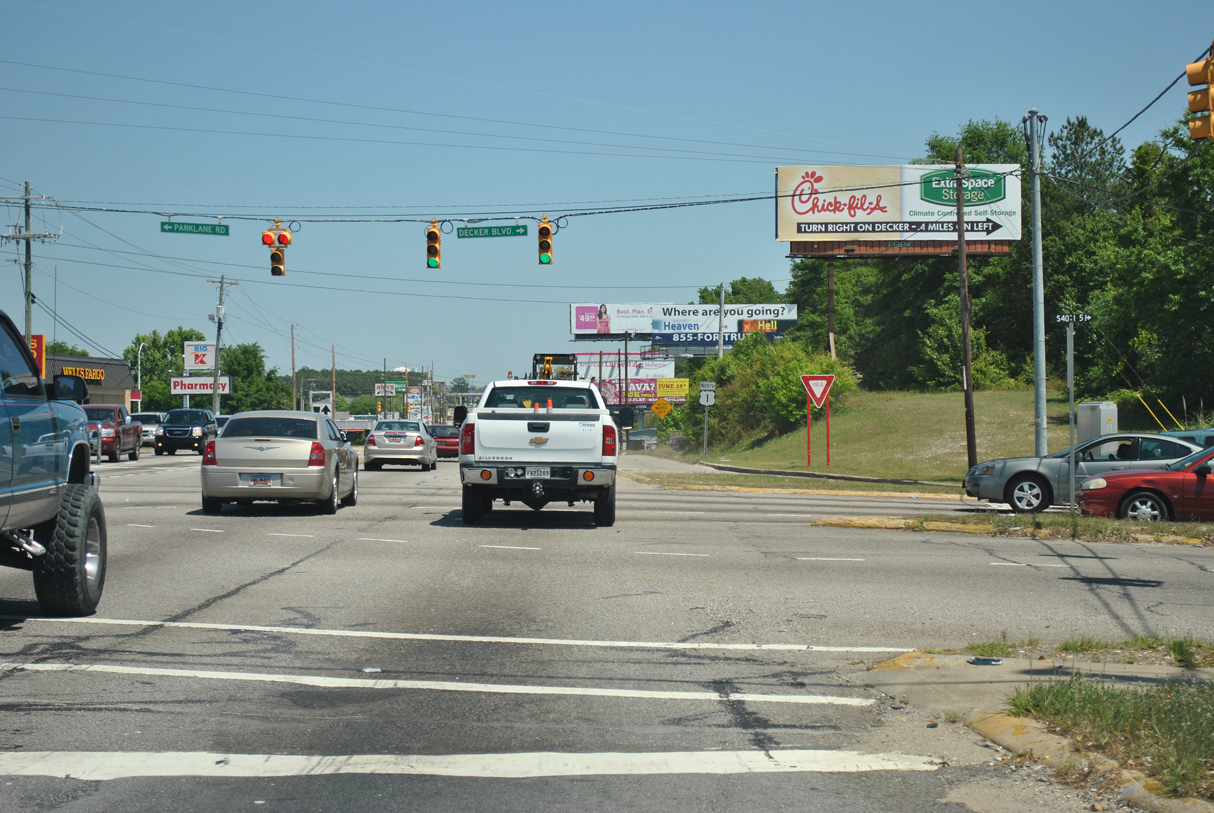
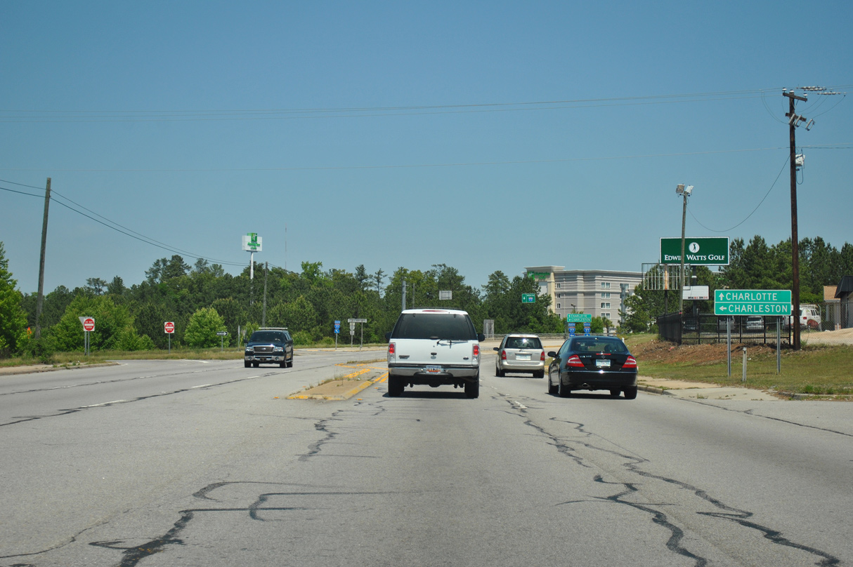
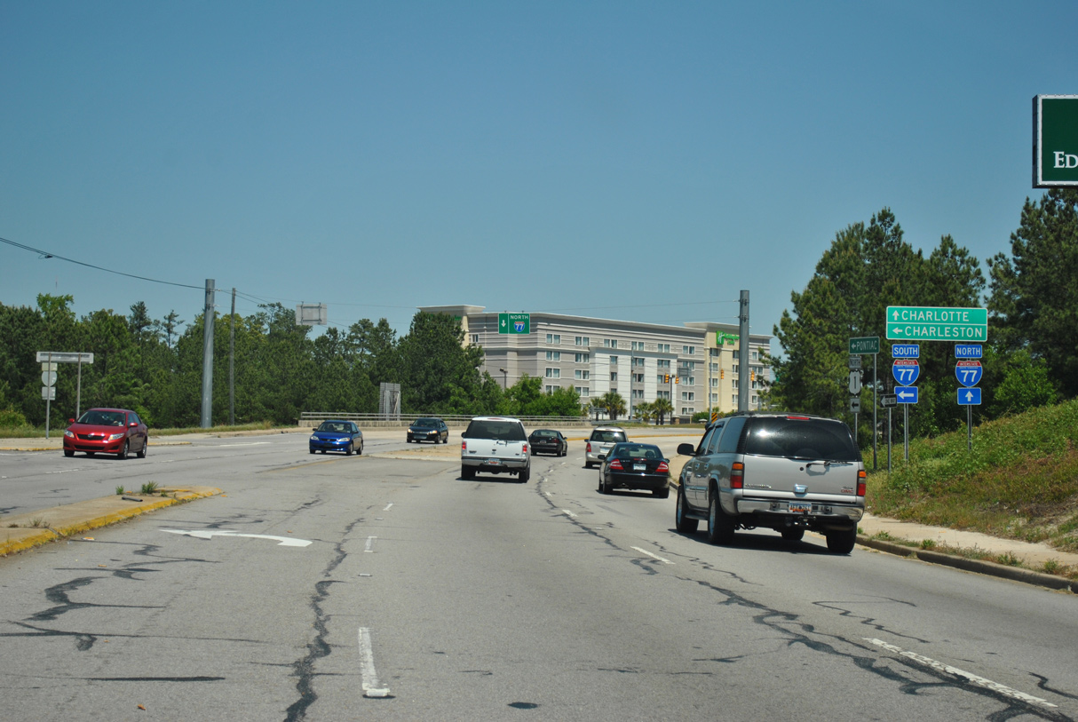
U.S. 1 travels northeast from Columbia to Dentsville, Pontiac, Elgin and Lugoff.
04/15/12
04/15/12
Gervais Street (Road 33) extends east to Trenholm Road and the city of Forest Acres.
04/15/12
04/15/12
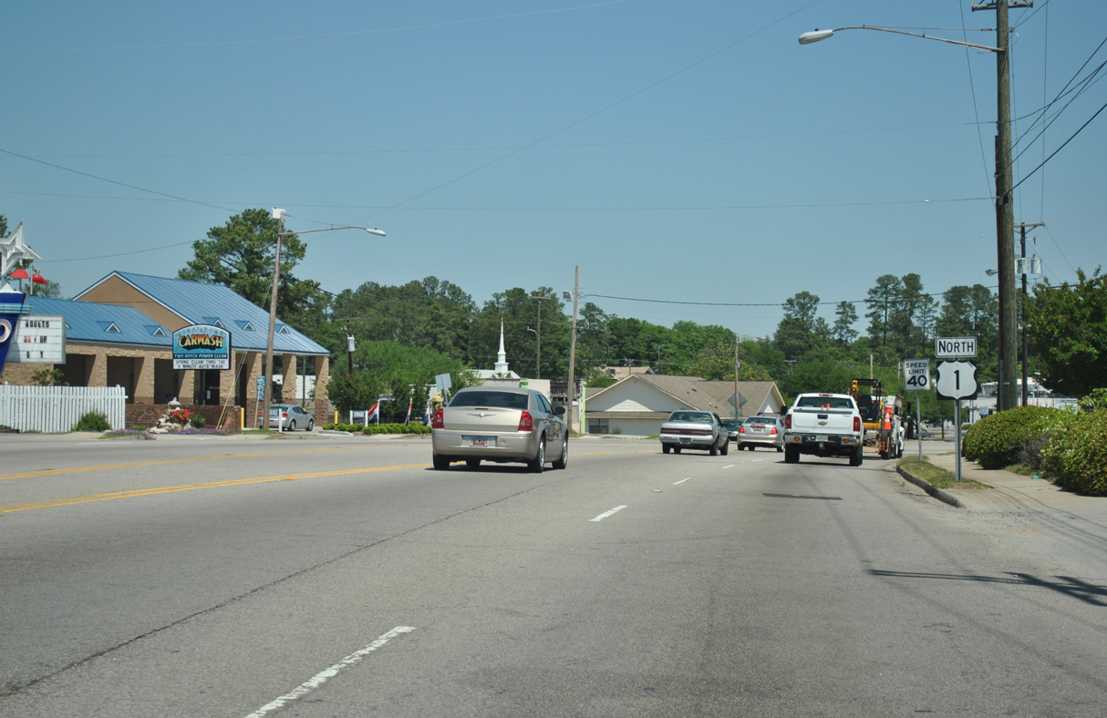
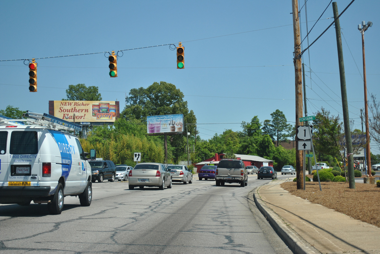
North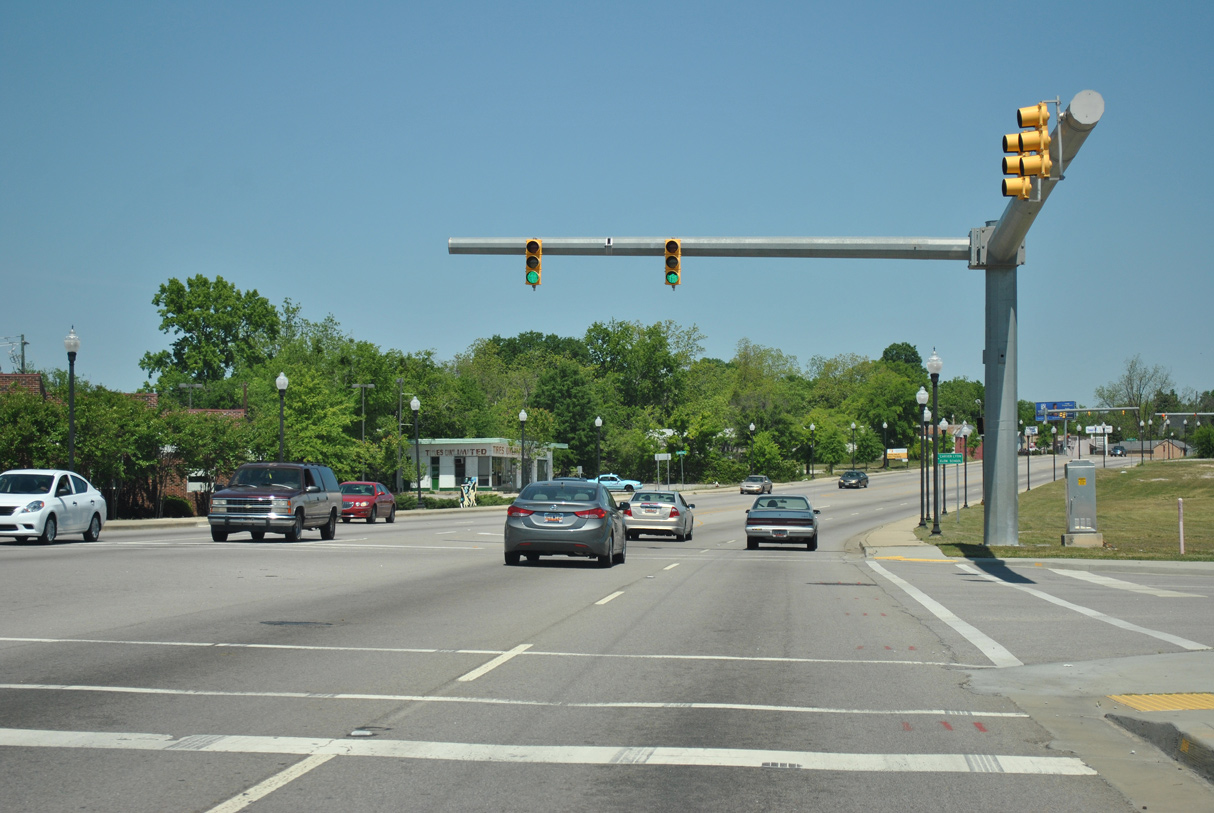
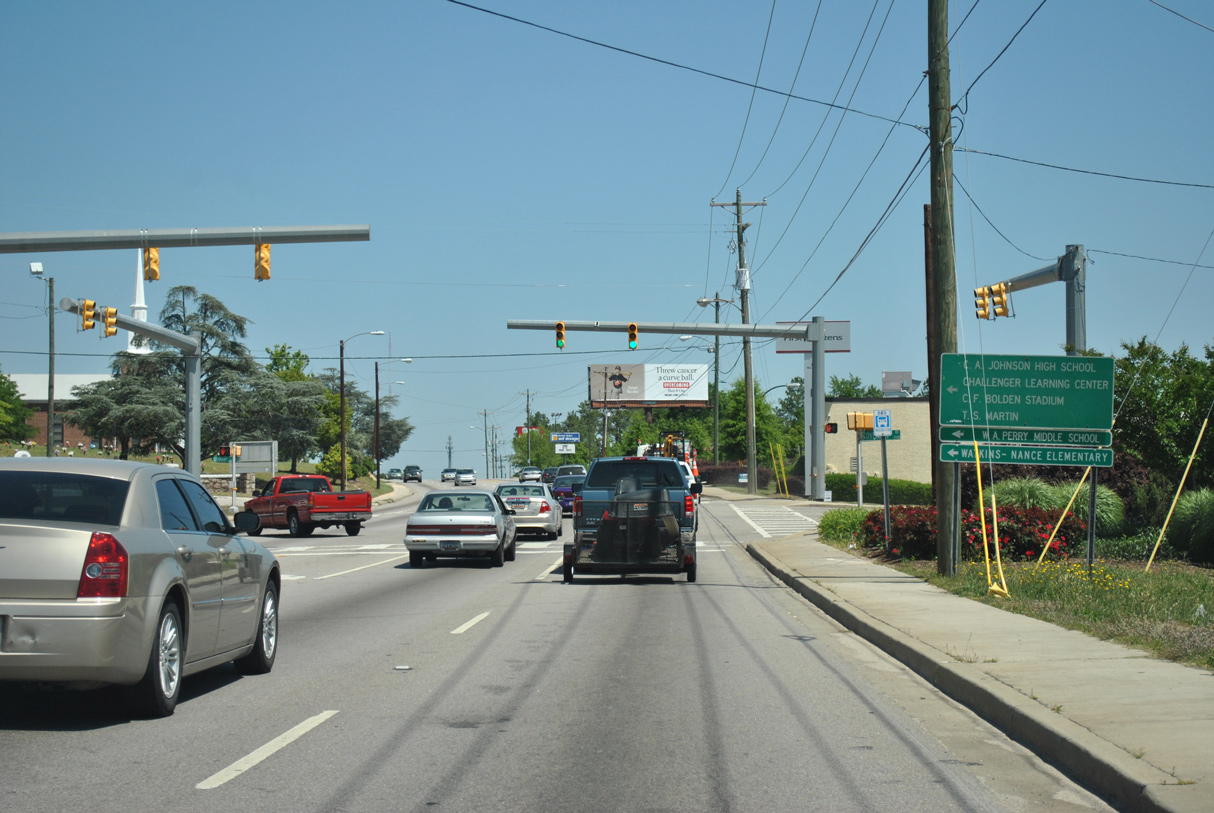
Read Street connects U.S. 1 (Two Notch Road) with Charles W.Johnson Stadium to the east.
04/14/12
04/14/12
04/14/12

04/14/12

04/14/12
04/14/12
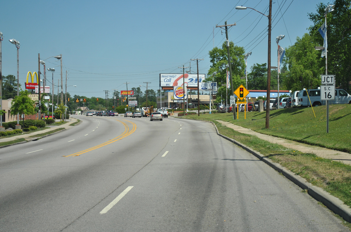
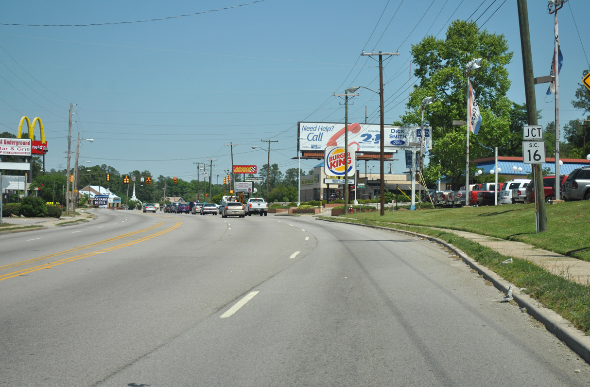
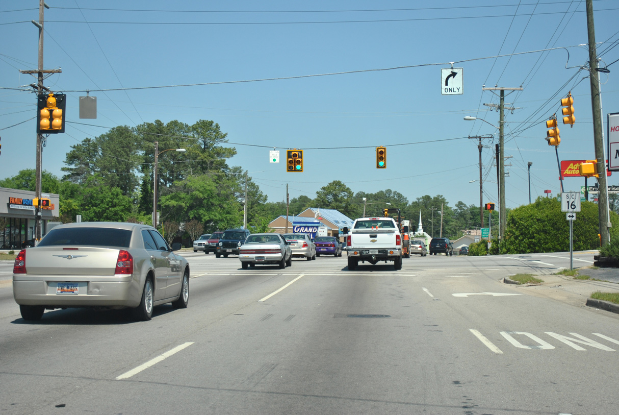
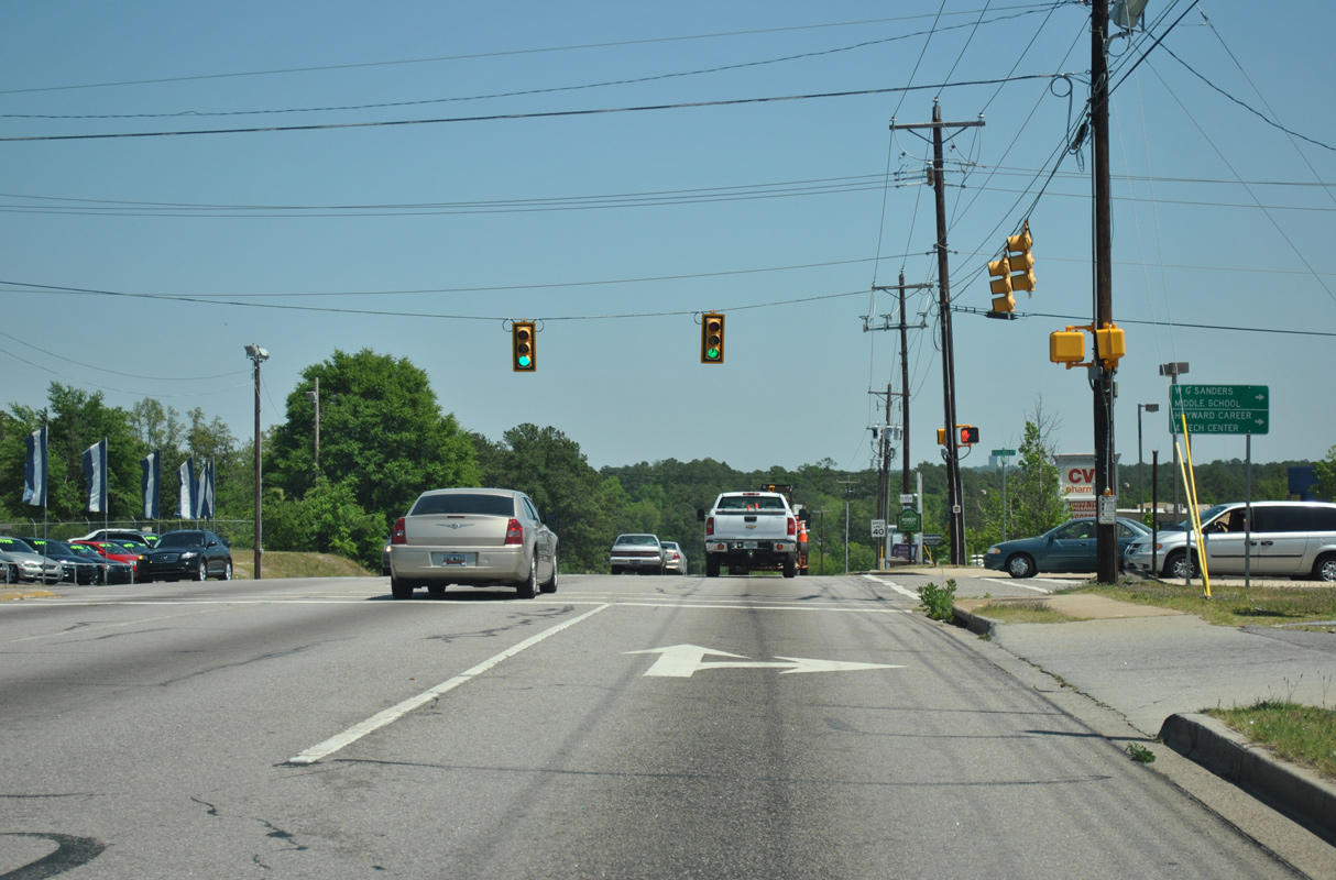
S.C. 16 (Beltline Boulevard) encircles Columbia south through Forest Acres and west to U.S. 176 (River Drive) at the Earlewood neighborhood.
04/14/12
04/14/12
04/14/12
04/14/12
04/14/12
04/14/12
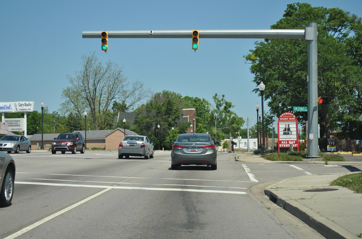
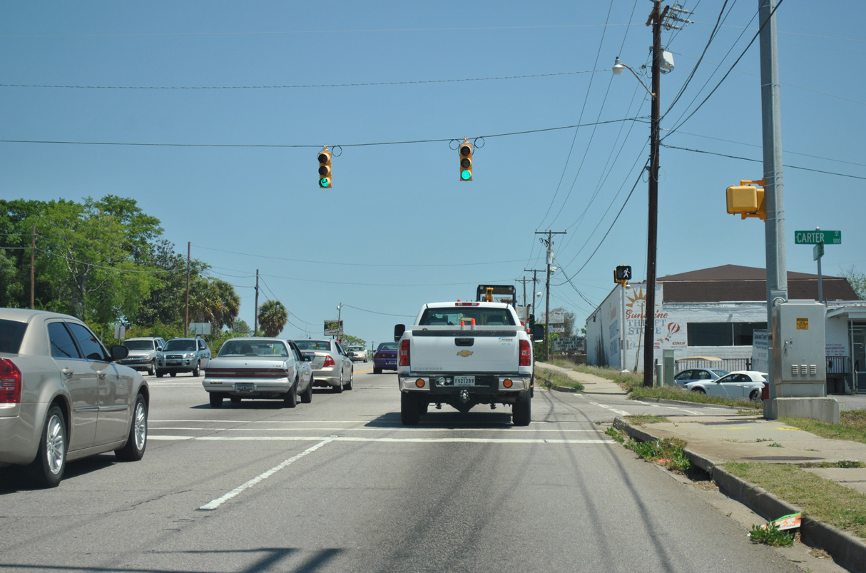
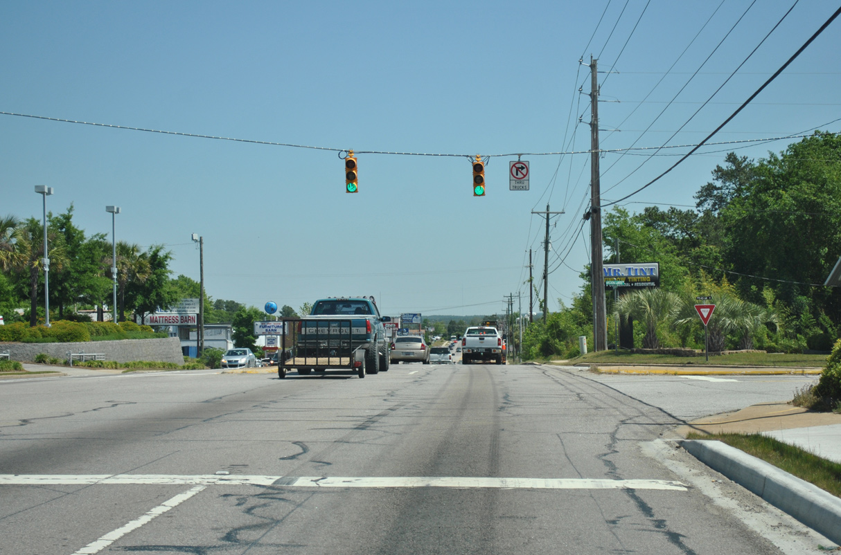
U.S. 1 (Two Notch Road) runs along the Forest Acres city line east from Pine Belt Road (Road 289).
04/14/12
04/14/12

04/14/12
04/14/12
04/14/12
04/14/12
04/14/12
04/14/12
04/14/12

04/14/12
04/14/12
04/14/12
04/14/12
04/14/12
04/14/12
04/14/12
04/14/12
04/14/12
04/14/12
04/14/12
04/14/12
Photo Credits:
- Brent Ivy: 09/20/21
- Alex Nitzman: 12/31/12
- ABRoads: 10/03/10, 04/14/12, 04/15/12
Connect with:
Page Updated Thursday March 10, 2022.