
U.S. 1 North Jacksonville - Downtown to Grand Park

 North
North  West
West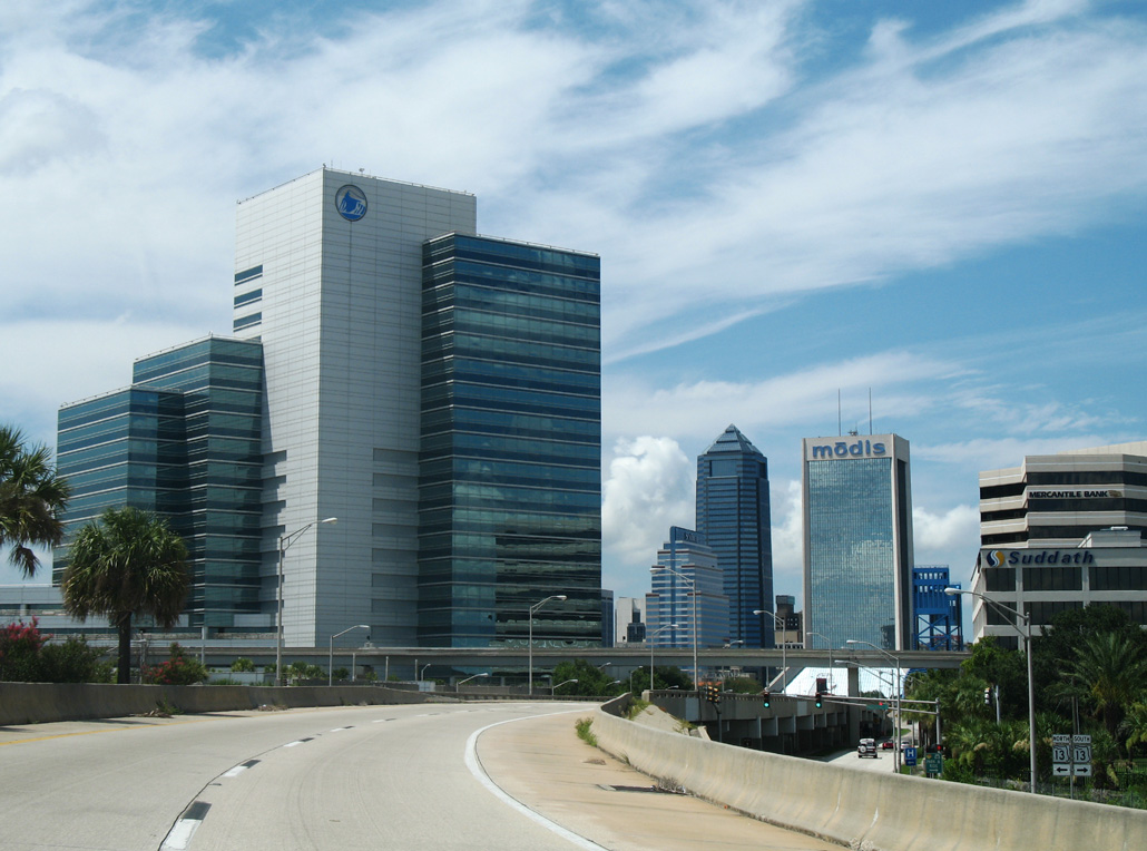
U.S. 1/90 turn north onto the Main Street Bridge from I-95 and SR 13 (Acosta Expressway).
07/04/06
07/04/06
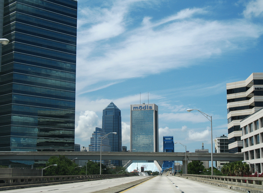
The JTA Skyway spans the elevated roadway along U.S. 1/90 (Main Street) above May Street.
07/04/06
07/04/06
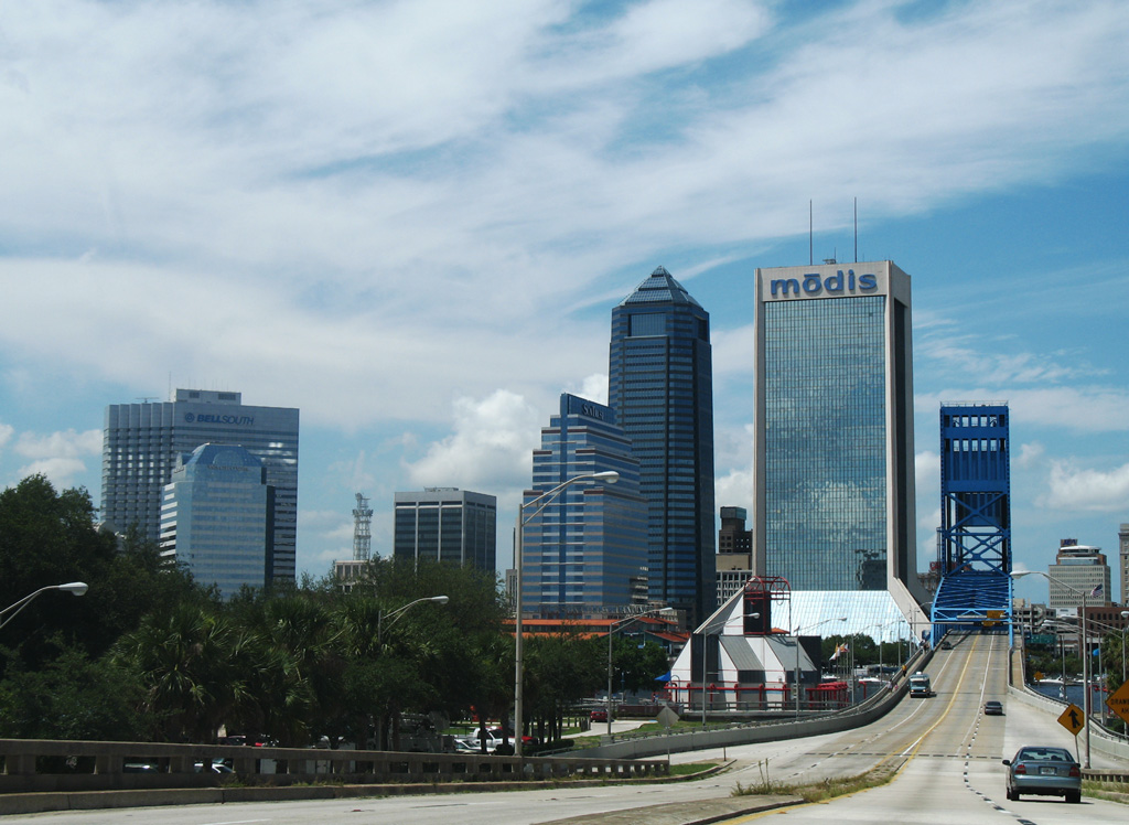
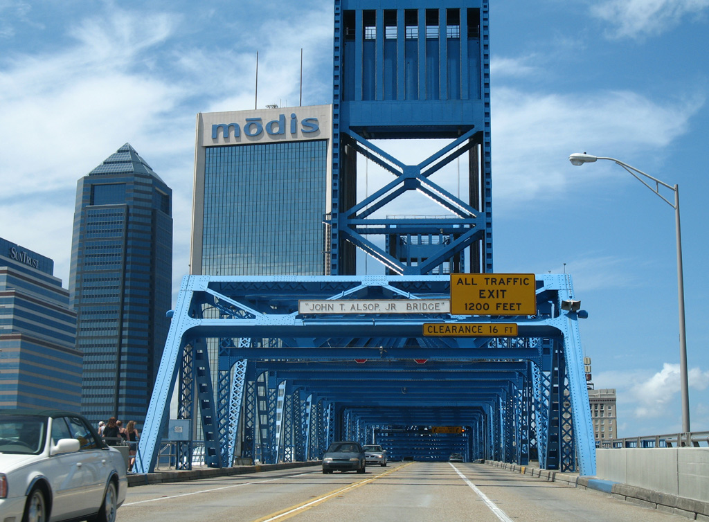
More commonly known as the Main Street Bridge, the John T. Alsop, Jr. Bridge leads U.S. 1/90 north across the St. Johns River into Downtown Jacksonville.
07/04/06
07/04/06
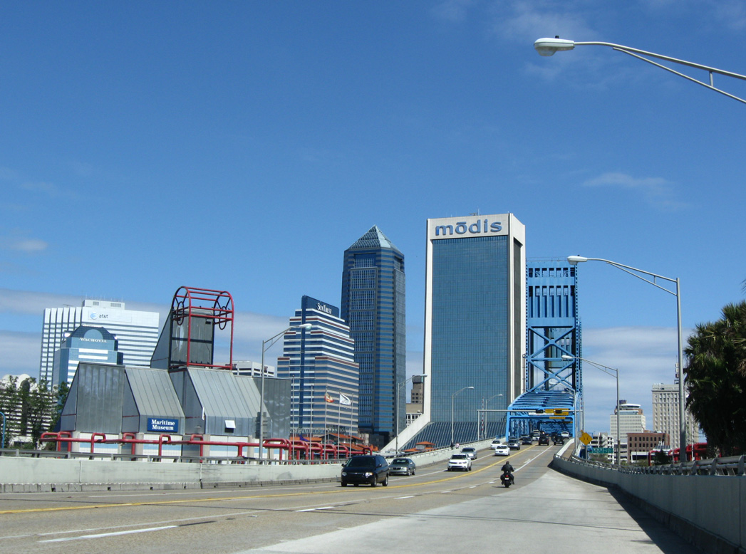
The Main Street Bridge was constructed at a cost of $1.5 million with work starting in the late 1930s. The span opened to traffic in July 1941 (The Coastal, 2015).
03/14/10
03/14/10
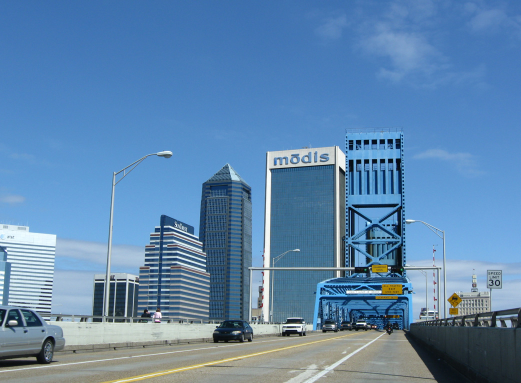
Measuring 1,680 feet in length, the Main Street Bridge is a vertical lift bridge (Baughn, n.d.).
03/14/10
03/14/10
John T. Alsop, Jr. served as Jacksonville Mayor from 1923 to 1937 and again from 1941 to 1945.1
07/04/06
07/04/06
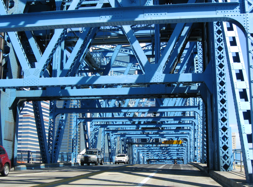
The bridge deck on the Main Street Bridge rises to accommodate 100 feet of vertical clearance above the St. Johns River.1
03/14/10
03/14/10
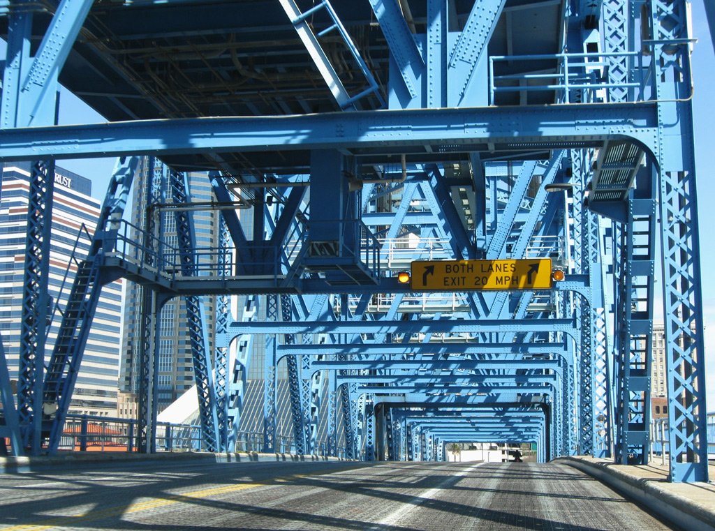
Traffic shifts eastward at the north end of the Main Street Bridge onto ramps for Ocean Street north and E Independent Drive.
03/14/10
03/14/10
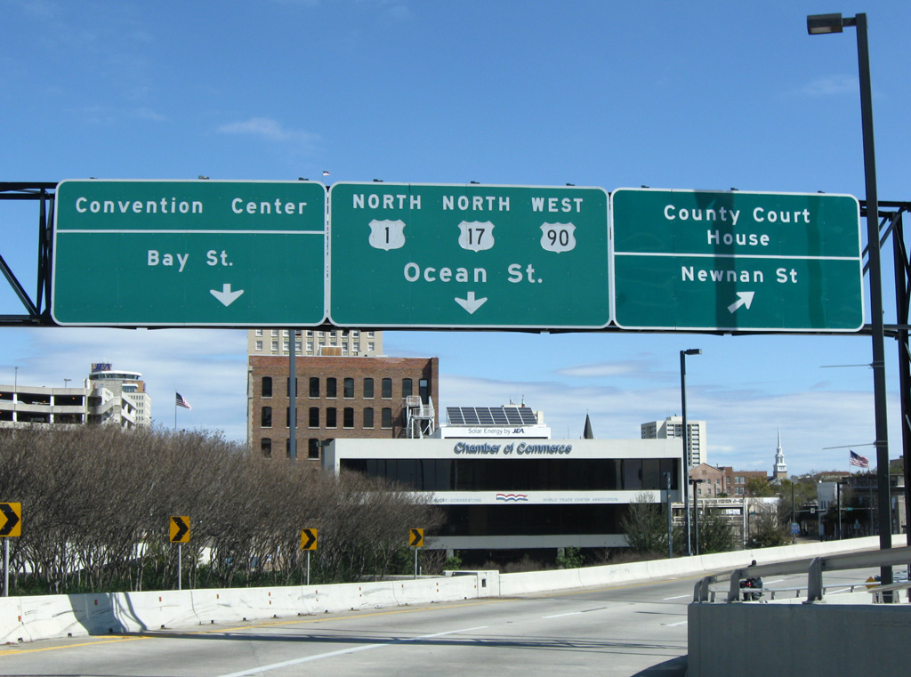
The ramp to E Independent Drive connects U.S. 1/90 (Main Street) north with Newnan Street.
03/14/10
03/14/10
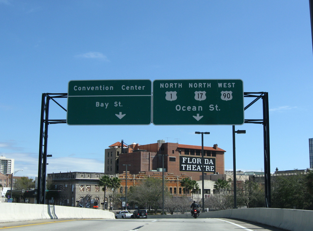
U.S. 1/90 lower onto Ocean Street northbound at Bay Street. U.S. 17 formerly joined U.S. 1/90 north through Downtown.
03/14/10
03/14/10
Bay Street (former U.S. 17) leads 11 blocks west to The Prime F. Osborn III Convention Center.
03/14/10
03/14/10
Reassurance markers posted on Ocean Street north at Bay Street west reference the previous overlap with U.S. 17.
03/14/10
03/14/10
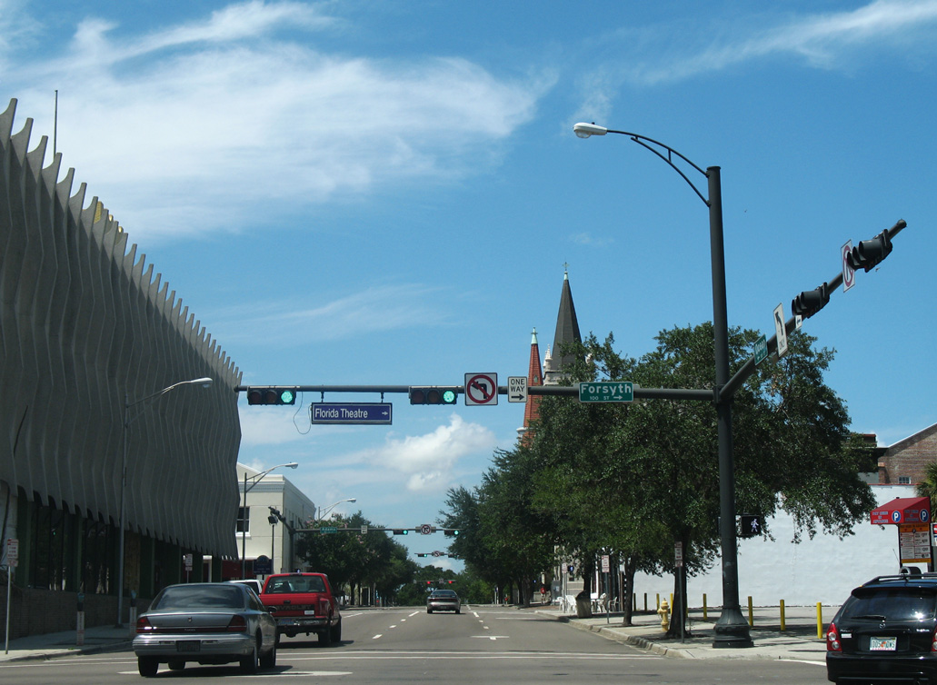
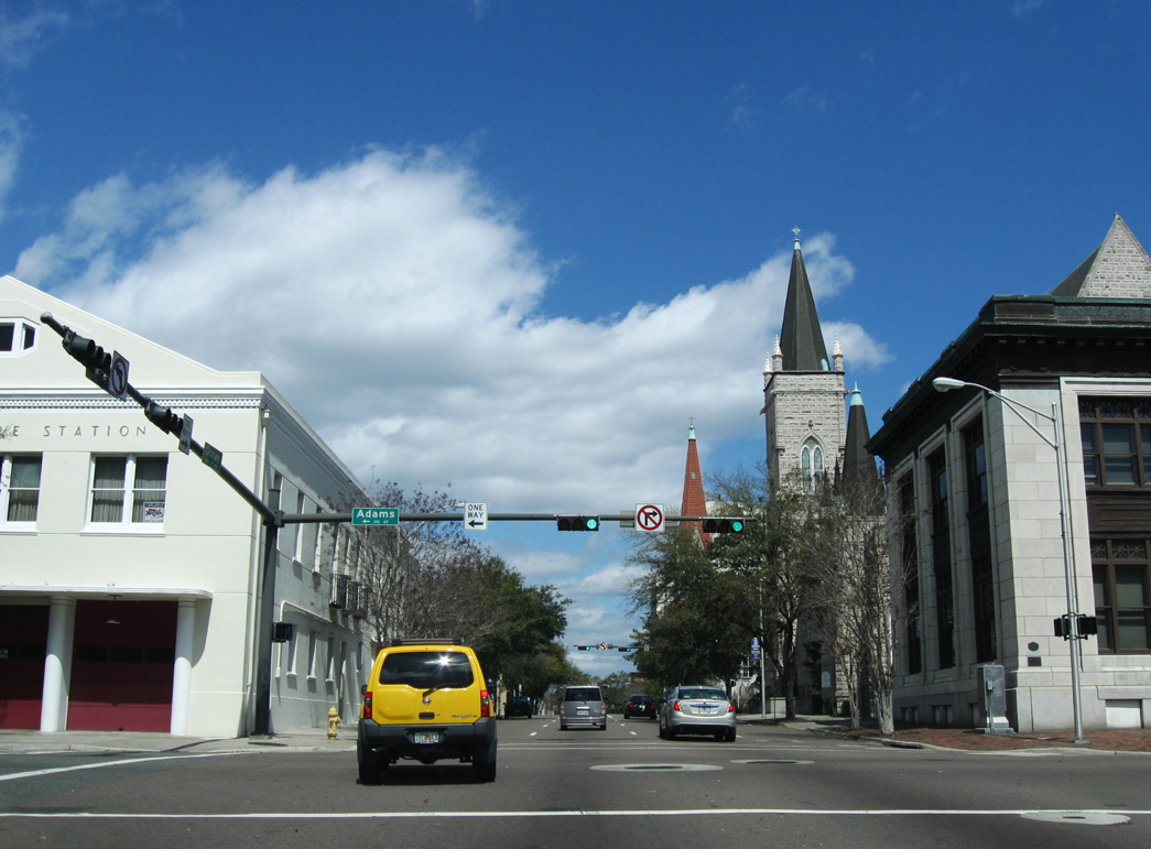
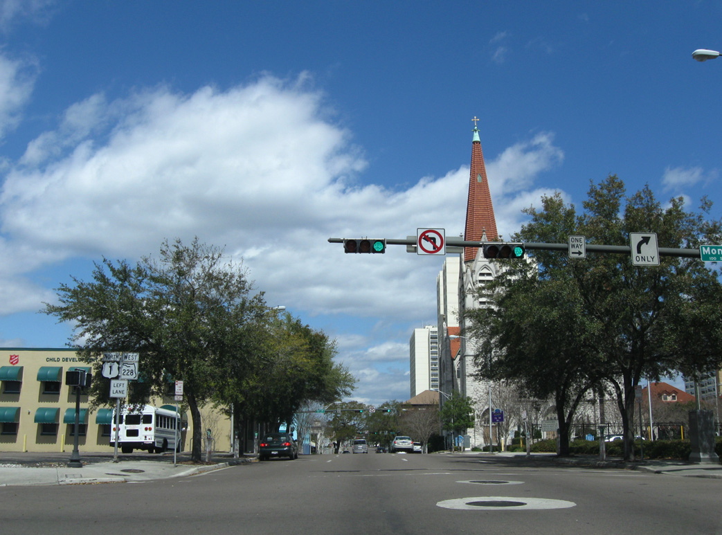
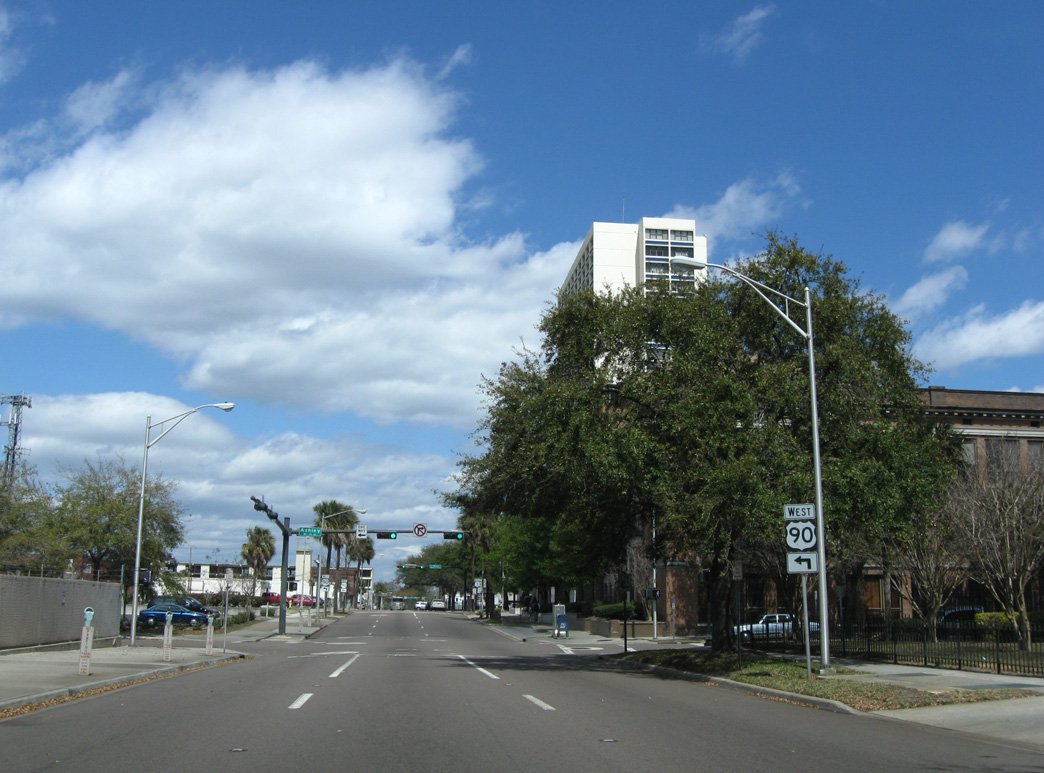
Forsyth Street is part of SR 228 east from U.S. 1/90 south on Main Street to the flyovers spanning Hogan Street.
07/04/06
07/04/06
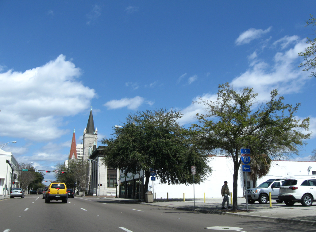
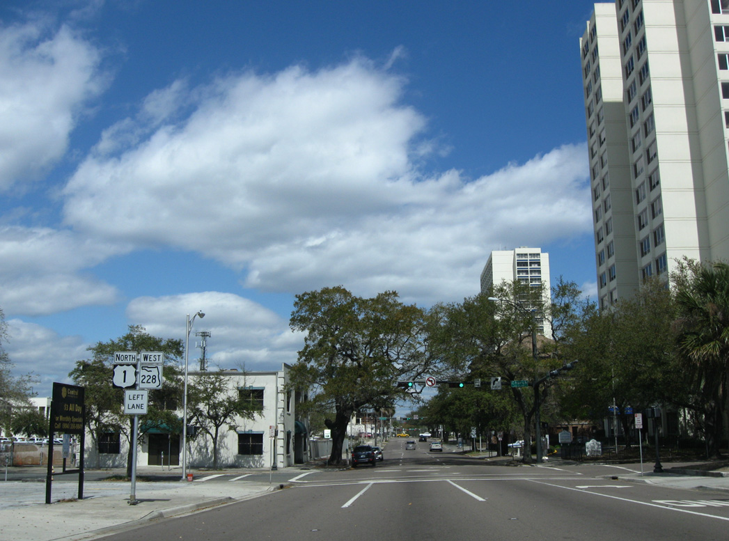
Adams Street extends west from SR 228 and U.S. 1/90 to ramps for I-95 north and Interstate 10 west.
03/14/10
03/14/10
03/14/10
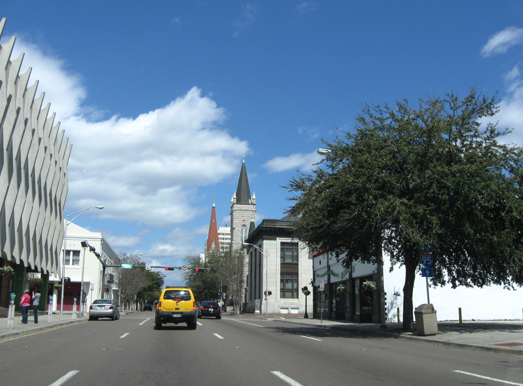
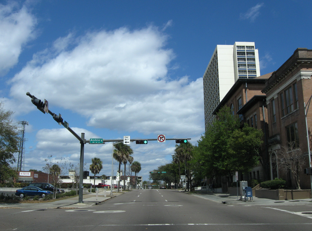
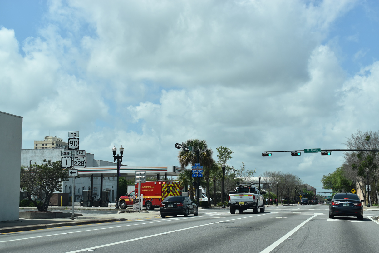
SR 228 joins U.S. 1/90 north from Adams Street 0.36 miles to U.S. 17/23 at State Street.
03/14/10
03/14/10
03/14/10
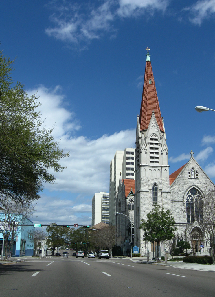
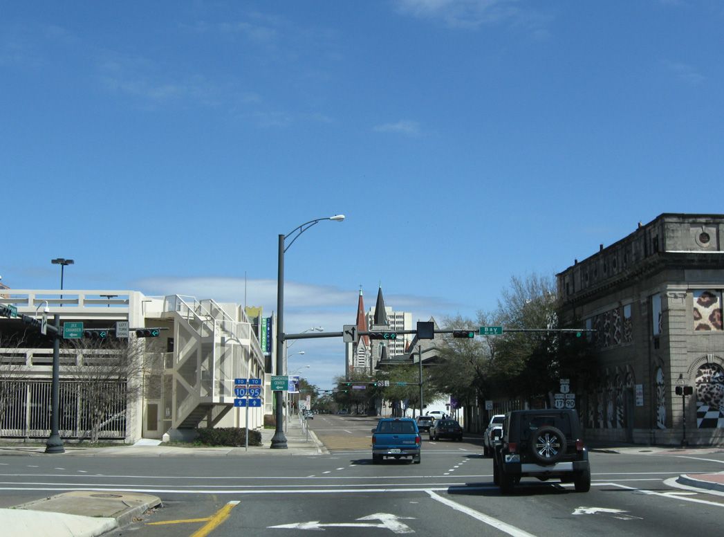
Ocean Street intersects Duval Street north by the Immaculate Conception Catholic Church.
03/14/10
03/14/10
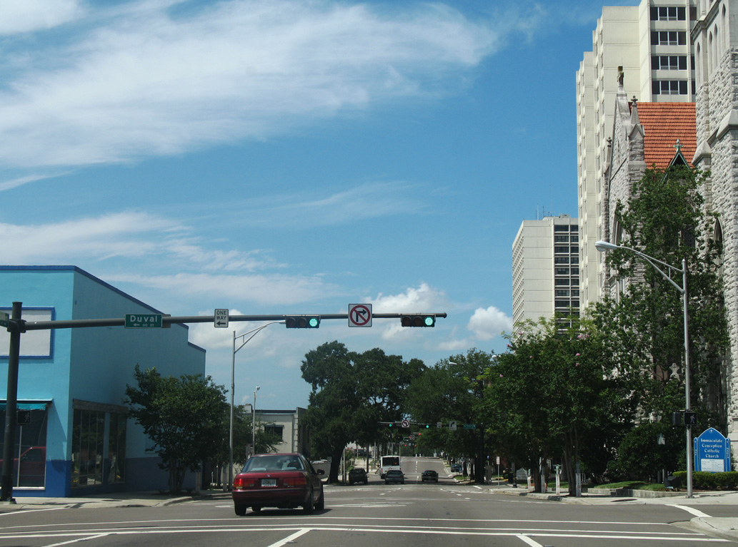
07/04/06
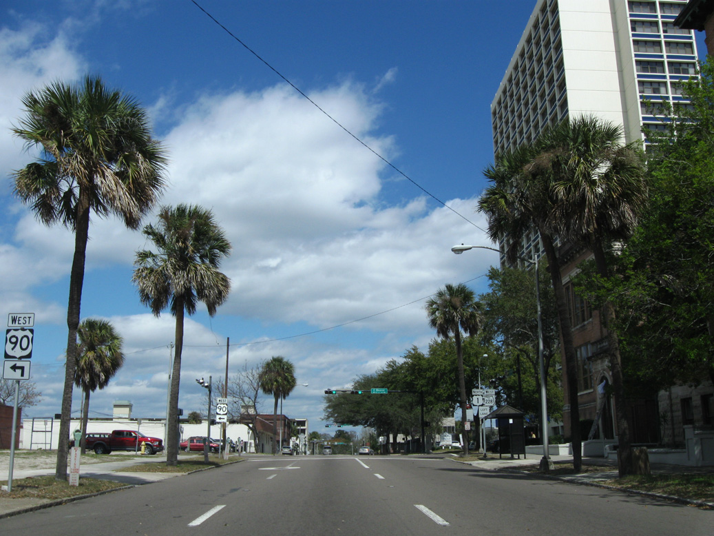
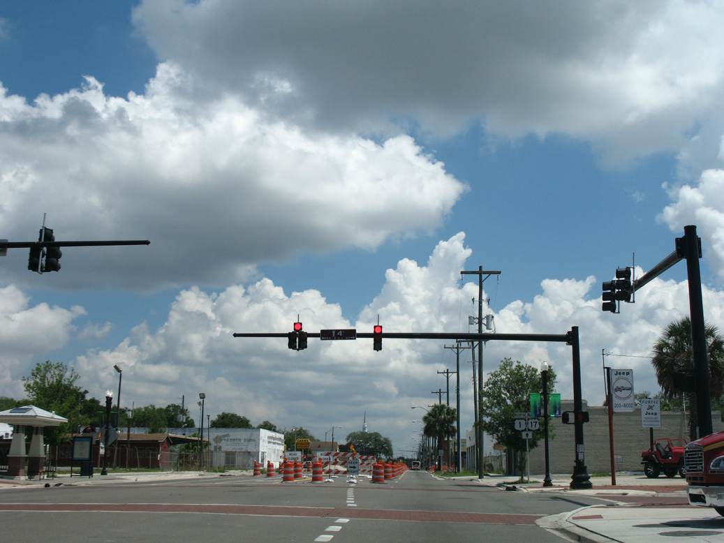
U.S. 90 separates from U.S. 1 north three blocks beyond Church Street. SR 228 turns west alongside U.S. 17/23 at State Street in five blocks.
03/14/10
03/14/10
U.S. 90 follows Beaver Street west from U.S. 1/SR 228 to LaVilla and New Town beyond Interstate 95.
03/14/10
03/14/10
03/14/10
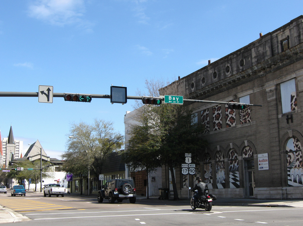
U.S. 90 (Beaver Street) parallels the couplet of U.S. 17/23 on Union and State Streets one block to the south.
03/14/10
03/14/10
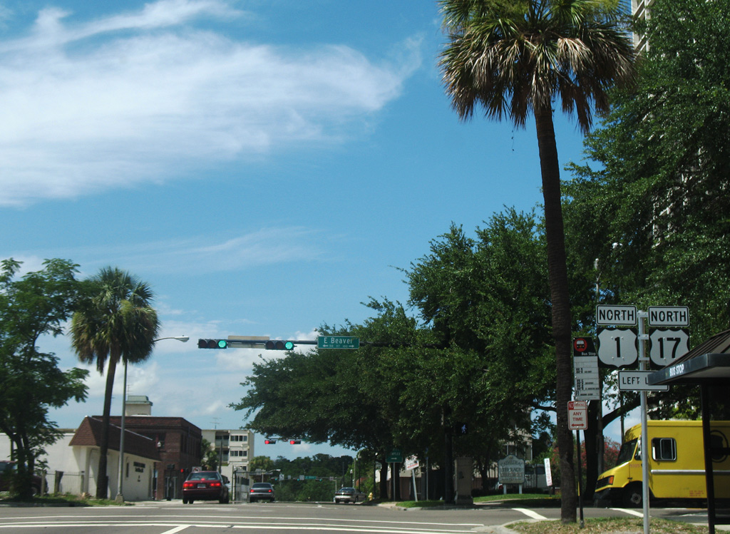
U.S. 17 north combines with U.S. 1 along Main Street north from Union Street one block northwest of the U.S. 1/90 split at Beaver Street.
07/04/06
07/04/06
North
U.S. 23 south ends at Union Street and U.S. 1/SR 228 (Ocean Street) north. Unsigned SR 139 extends east three blocks to the Mathews Expressway (SR 10A) leading to SR 115 crossing the St. Johns River on the Mathews Bridge.
03/14/10
03/14/10

Unsigned SR 10A/139 ties into the turn of U.S. 1/SR 228 west from Ocean Street on State Street.
03/14/10
03/14/10

Ocean Street north ends at Orange Street one block east of U.S. 1/17 along Main Street.
03/26/20
03/26/20

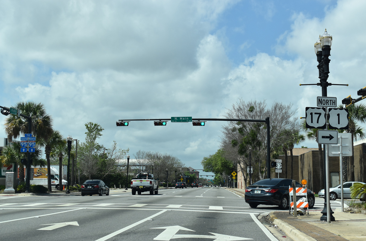
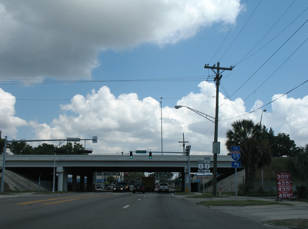
Northbound U.S. 1 follows State Street one block west from SR 10A/139 to U.S. 17 (Main Street) at the northbound beginning of U.S. 23. SR 228 continues west from U.S. 1 alongside U.S. 17 to I-95 south.
03/26/20
03/26/20
U.S. 1 (Main Street) south overlaps with SR 228 east to Forsyth Street and U.S. 90 from Beaver Street to the Main Street Bridge.
03/26/20
03/26/20
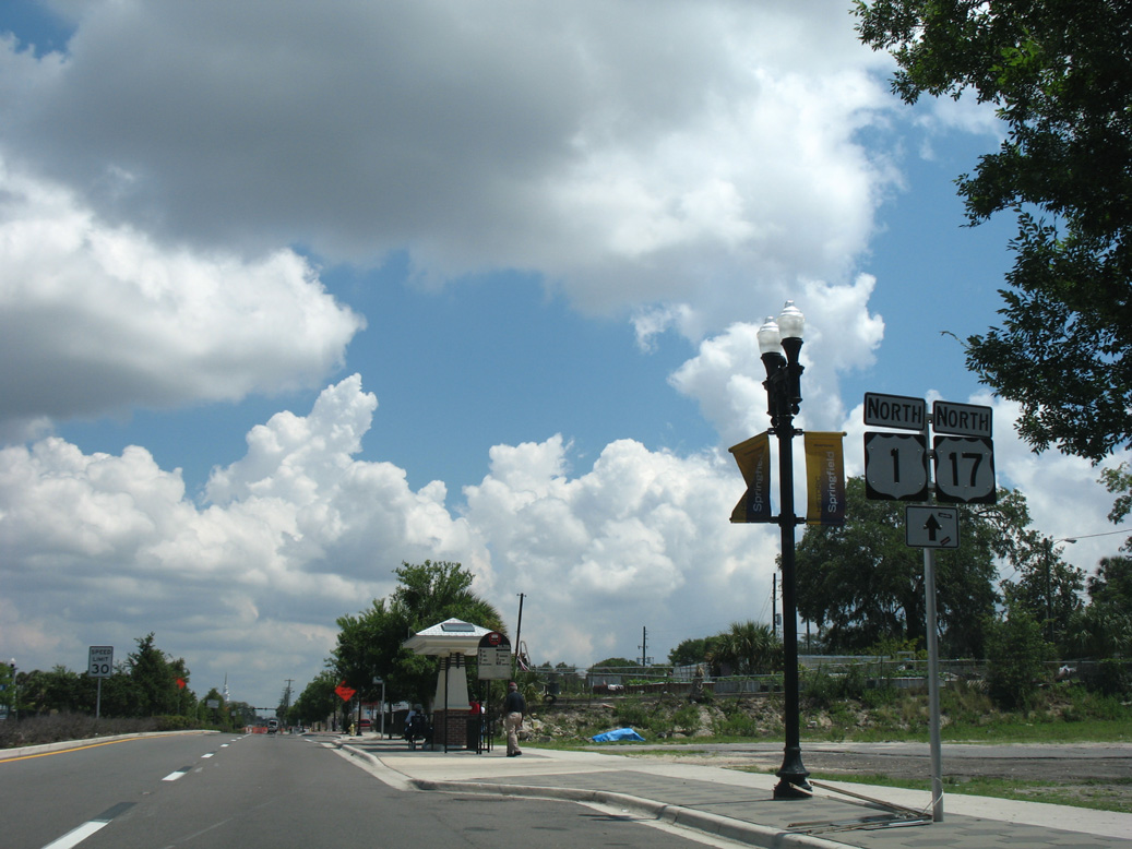
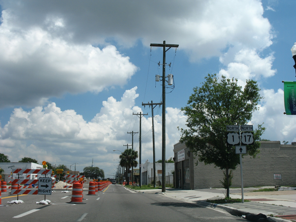
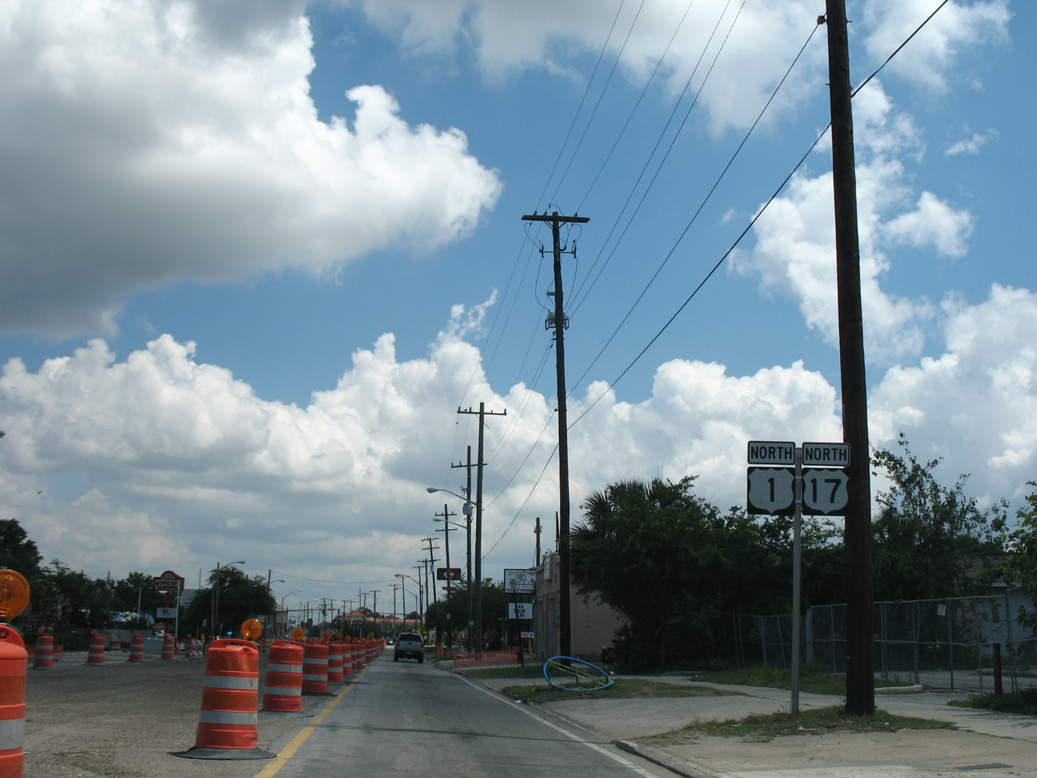
U.S. 1/17 combine for 1.61 miles north through Springfield from U.S. 23 (State Street) to U.S. 1 ALT (Martin Luther King, Jr. Parkway).
03/26/20
03/26/20
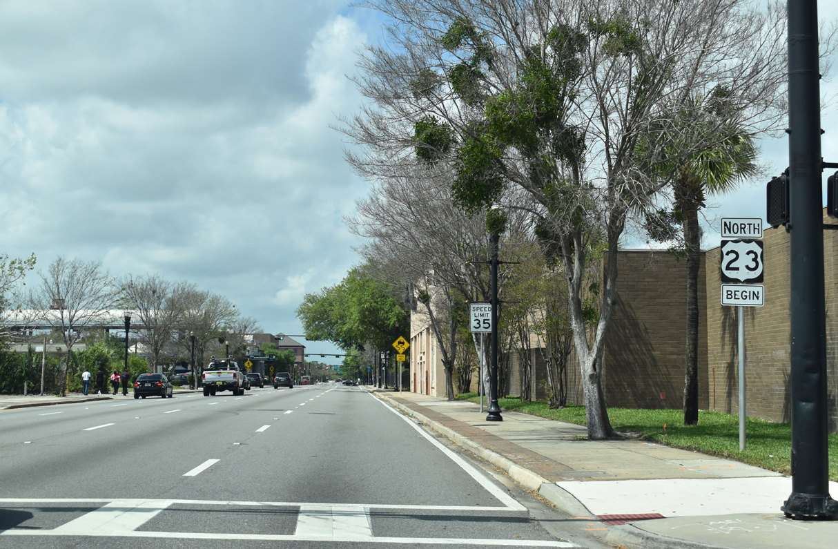
U.S. 23 north initially overlaps with U.S. 17/SR 228 south 0.82 miles west along State Street to Interstate 95. SR 139 is the unsigned counterpart of U.S. 23 north to U.S. 1 along New Kings Road at Grand Park.
03/26/20
03/26/20
 North
North
U.S. 1/17 (Main Street) north ahead of Orange Street.
06/14/08
06/14/08
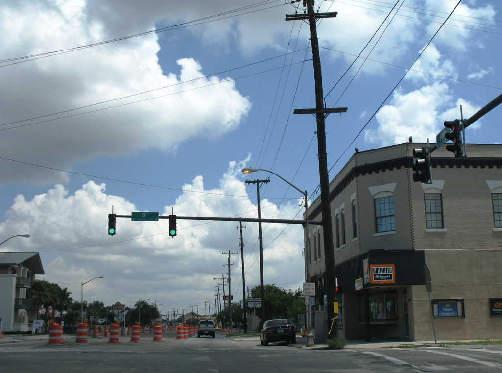
U.S. 1/17 (Main Street) north enter the Springfield neighborhood at 1st Street.
06/14/08
06/14/08
06/14/08
06/14/08
8th Street west becomes SR 114 from Boulevard to Interstate 95 at Exit 353 D.
06/14/08
06/14/08
06/14/08
06/14/08
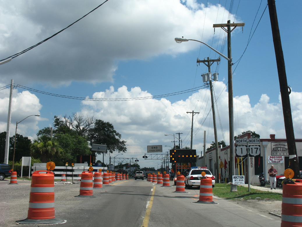
06/14/08
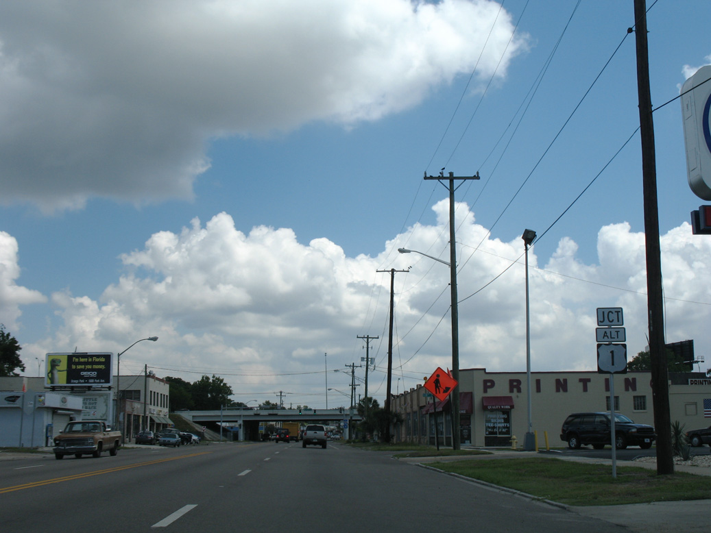
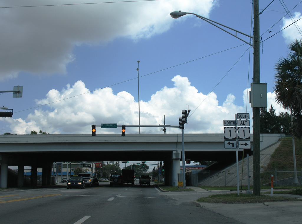
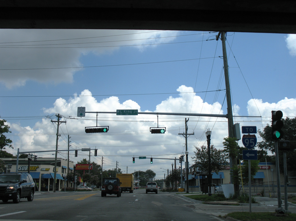
U.S. 1 ALT returns to U.S. 1 along Martin Luther King, Jr. Parkway west from Longbranch and Phoenix.
06/14/08
06/14/08
Martin Luther King, Jr. Parkway extends west from U.S. 17 (Main Street) as a freeway to Interstate 95.
06/14/08
06/14/08
A 7.45 mile long highway to U.S. 1 at Englewood, U.S. 1 ALT loops southeast to Midtown and across the St. Johns River on the Hart Bridge to Empire Point and St. Nicholas.
06/14/08
06/14/08
U.S. 1 parts ways with U.S. 17 north along Martin Luther King, Jr. Parkway west to U.S. 23 at Grand Park. U.S. 17 continues north into Brentwood.
06/14/08
06/14/08
North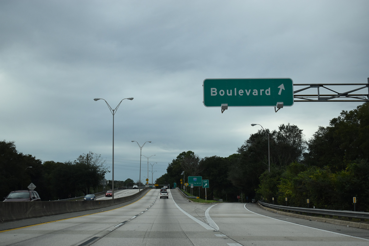
U.S. 1 joins Martin Luther King, Jr. Parkway west ahead of a diamond interchange with Boulevard.
12/04/20
12/04/20
12/04/20
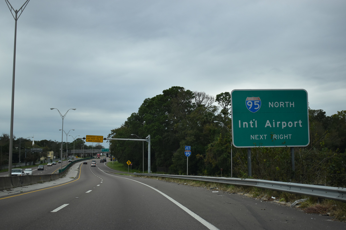
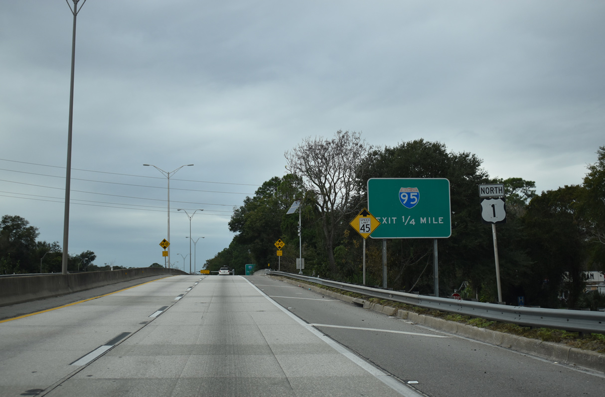
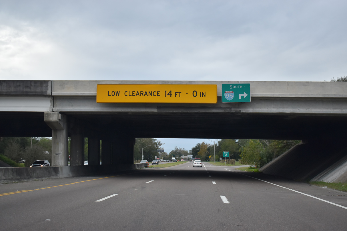
A cloverleaf interchange connects U.S. 1 with I-95 north to Northside Jacksonville and Jacksonville International Airport (JAX).
12/04/20
12/04/20
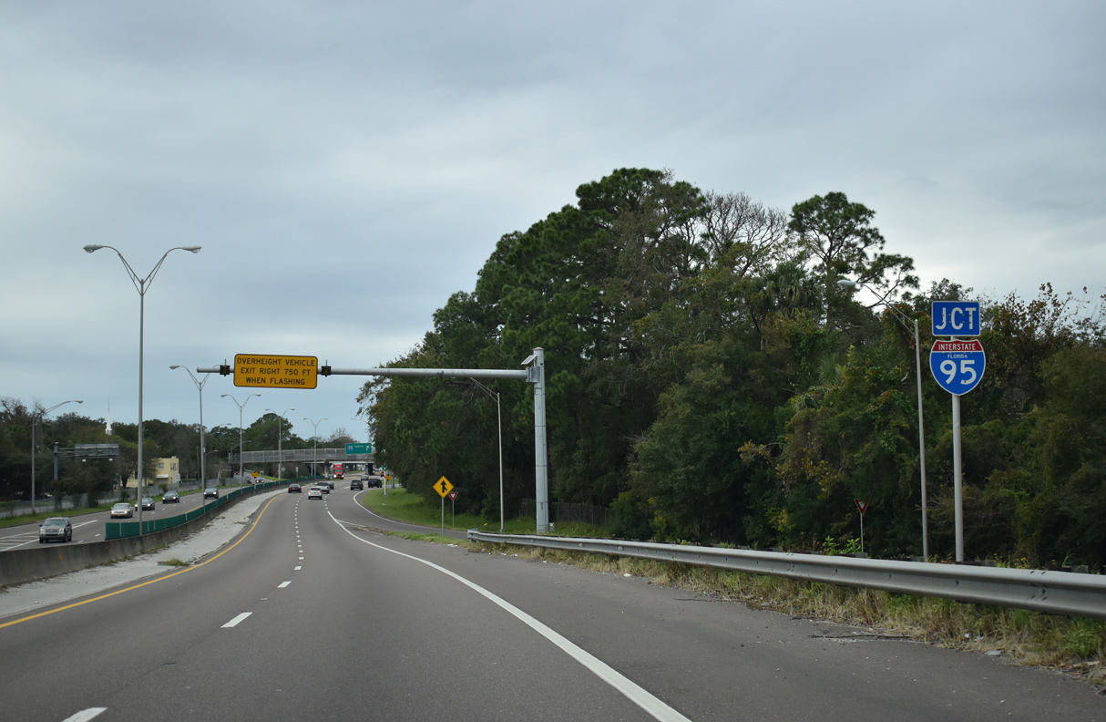
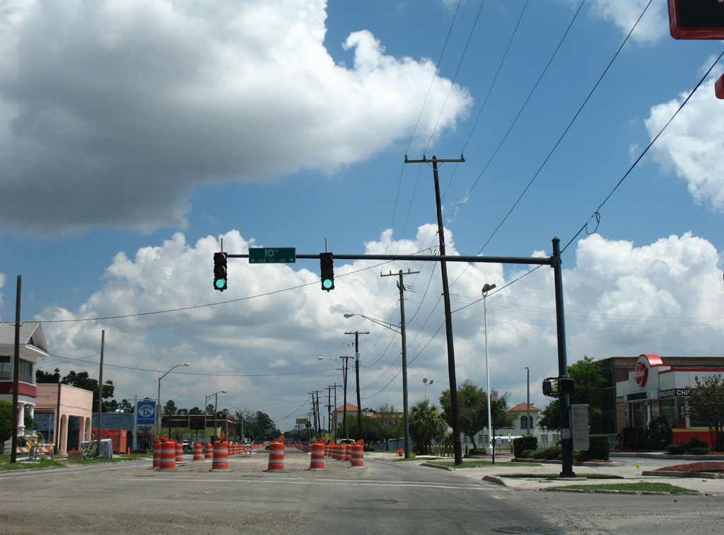
Unsigned SR 115 accompanies U.S. 1 west from U.S. 1 ALT to Interstate 95 north. SR 115 overlaps with I-95 north 1.90 miles to Lem Turner Road en route to Callahan.
12/04/20
12/04/20
12/04/20
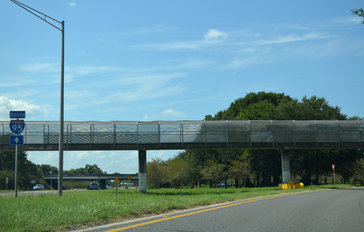
The trailblazer for I-95 south at the pedestrian overpass at Venus Street was removed by 2017.
09/22/14
09/22/14
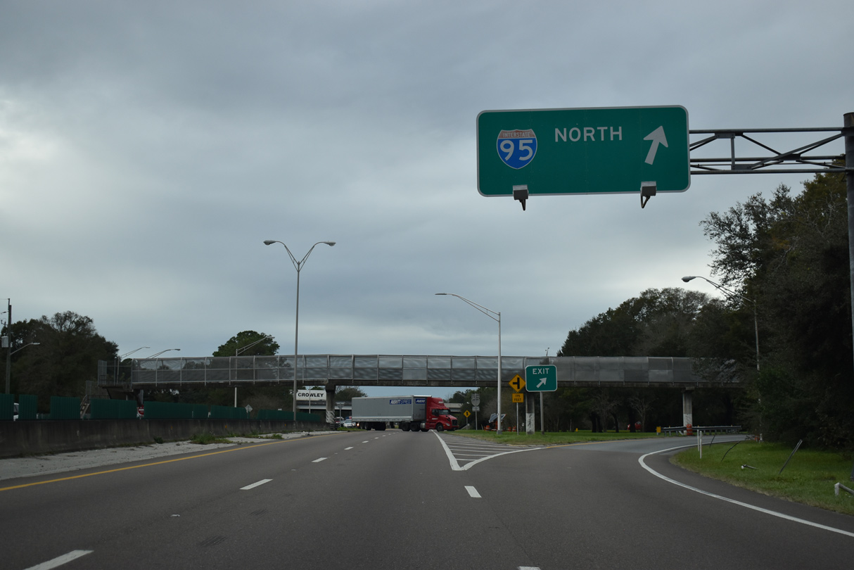
A loop ramp departs U.S. 1 northbound for Interstate 95 south toward Downtown Jacksonville.
12/04/20
12/04/20


References:
Seven Bridges: Main Street Bridge. (2015, December 27). The Coastal. Retrieved from https://thecoastal.com/featured/seven-bridges-main-st-bridge/
Baughn, J. (n.d.). Main Street Bridge. BridgeHunter.com. https://bridgehunter.com/fl/duval/main-street/
Photo Credits:
- Alex Nitzman: 07/04/06, 06/14/08
- ABRoads: 03/14/10, 09/22/14, 03/26/20, 12/04/20
Connect with:
Page Updated Friday September 02, 2022.