
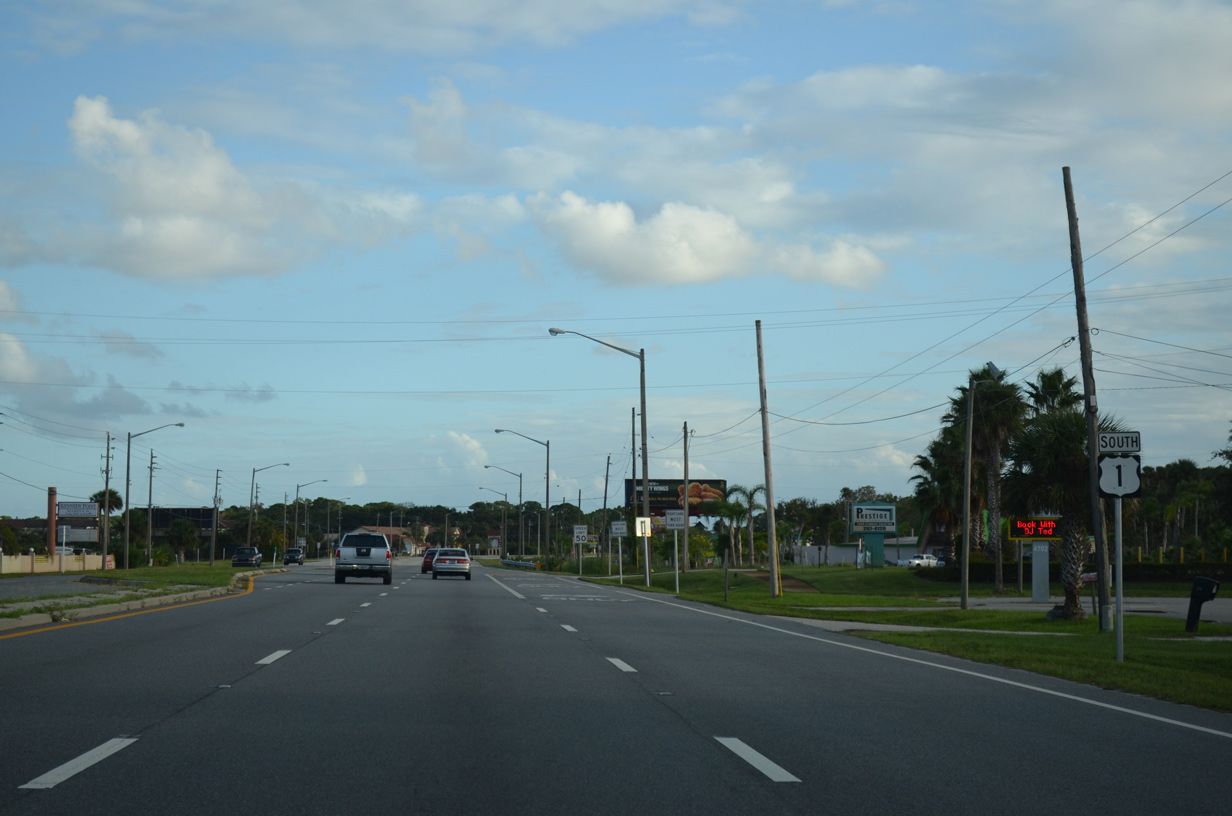
U.S. 1 South - Titusville to Cocoa

 South
South
U.S. 1 partitions into a couplet along Hopkins Avenue south and Washington Avenue north through Downtown Titusville. This confirming marker stands south of SR 406 (Garden Street).
09/28/13
09/28/13
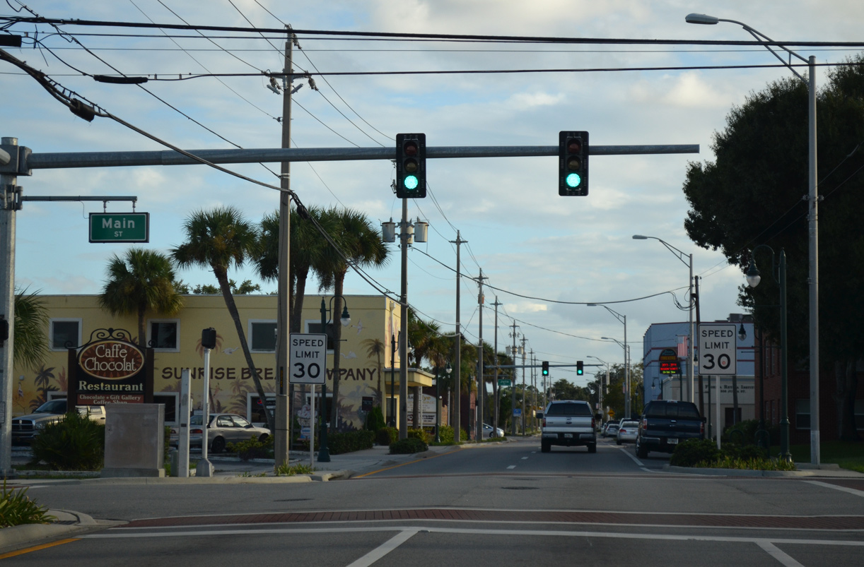
Hopkins Avenue south at Main Street in Downtown Titusville.
09/28/13
09/28/13
09/28/13
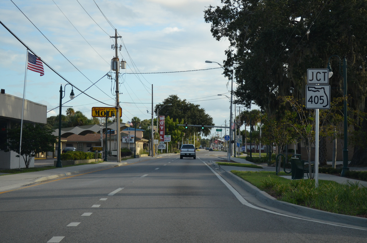
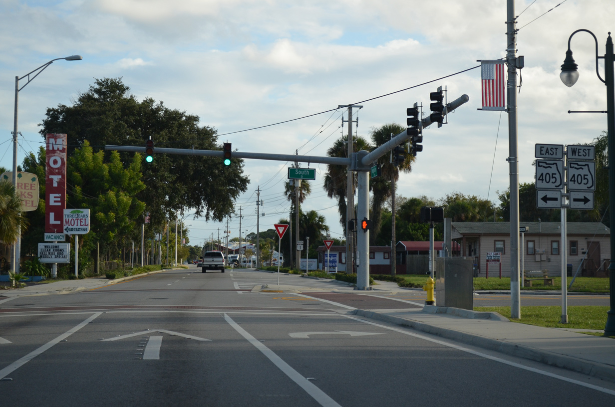
U.S. 1 (Hopkins Avenue) south meets the north end of SR 405 at South Street.
09/28/13
09/28/13
SR 405 constitutes a 9.83 mile long loop encircling Titusville south to U.S. 1 at Nasa Causeway (CR 405).
09/28/13
09/28/13
09/28/13
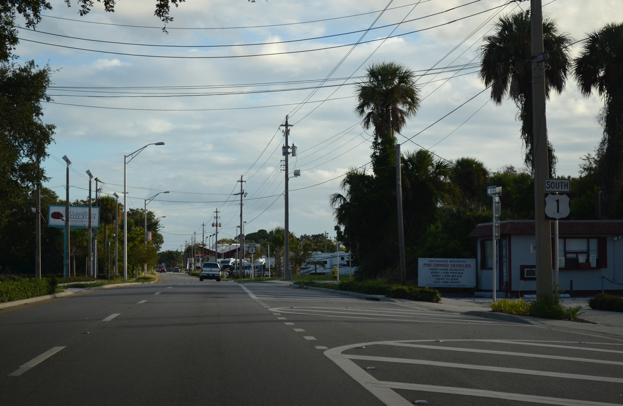
A second confirming marker for U.S. 1 south of SR 405 (South Street) was removed by 2018.
09/28/13
09/28/13
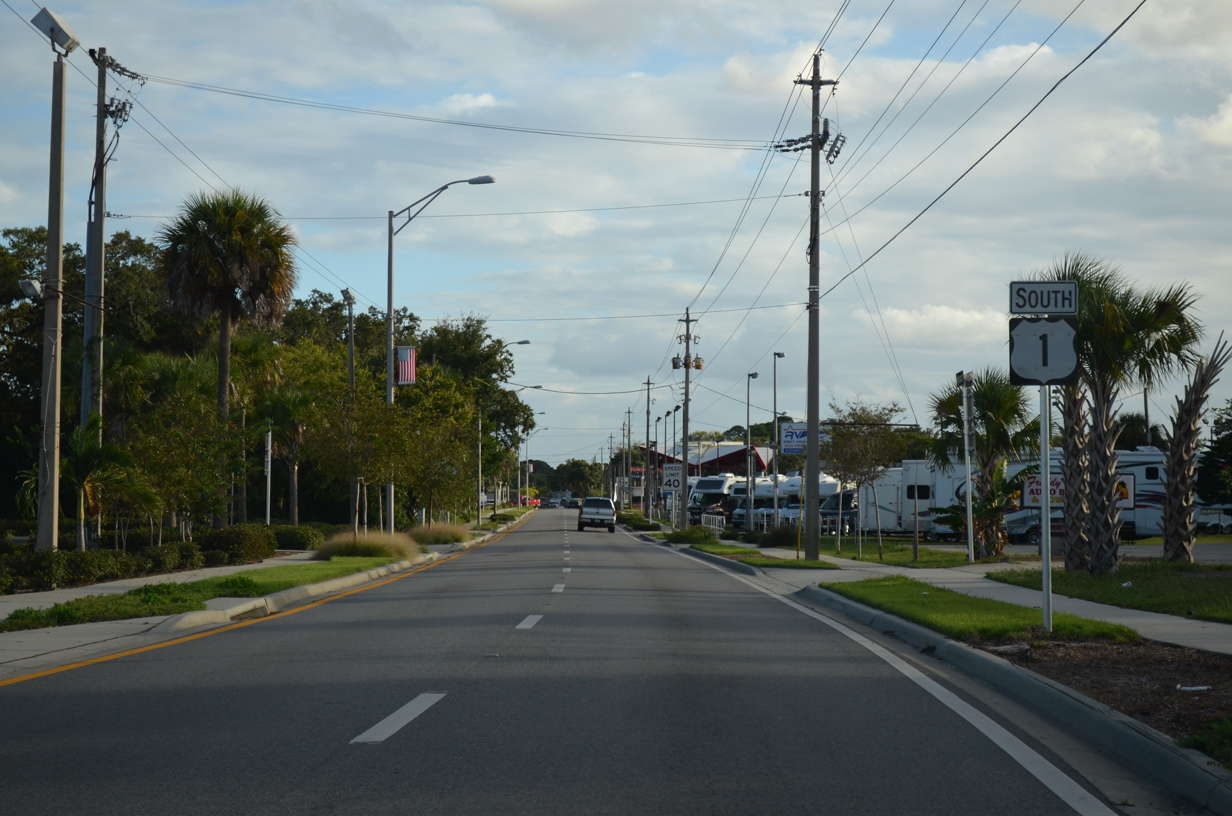
Southbound U.S. 1 shifts east off Hopkins Avenue toward Washington Avenue at Brevard Street.
09/28/13
09/28/13

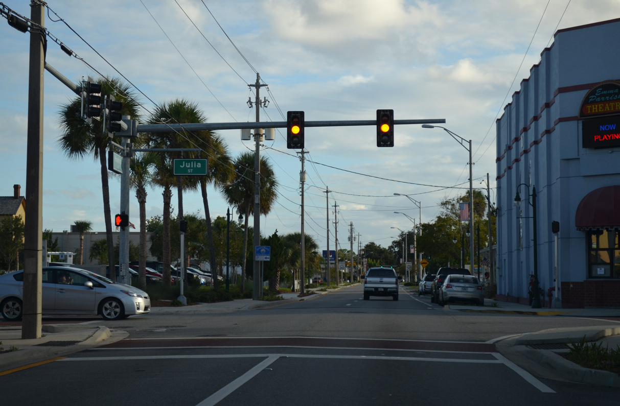
The separate roadways for U.S. 1 converge along Washington Avenue at Grace Street.
09/28/13
09/28/13
09/28/13
09/28/13
U.S. 1 (Washington Avenue) south at the signalized entrance for both the Titus Landing retail complex and Pelican Point Condominiums.
09/28/13
09/28/13
09/28/13
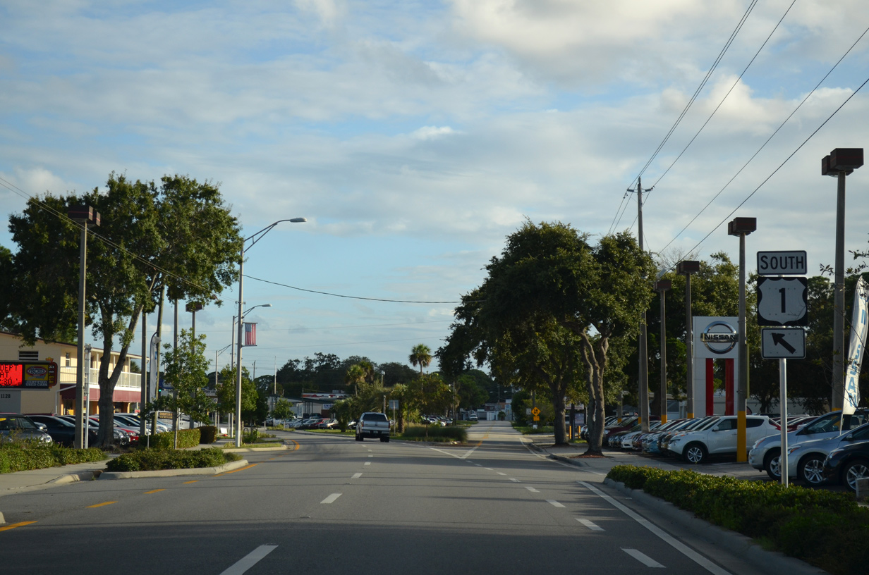
Country Club Drive intersects U.S. 1 northeast of Titusville Mall.
09/28/13
09/28/13
Washington Avenue south at Olmstead Drive.
09/28/13
09/28/13
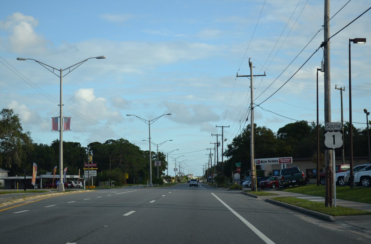
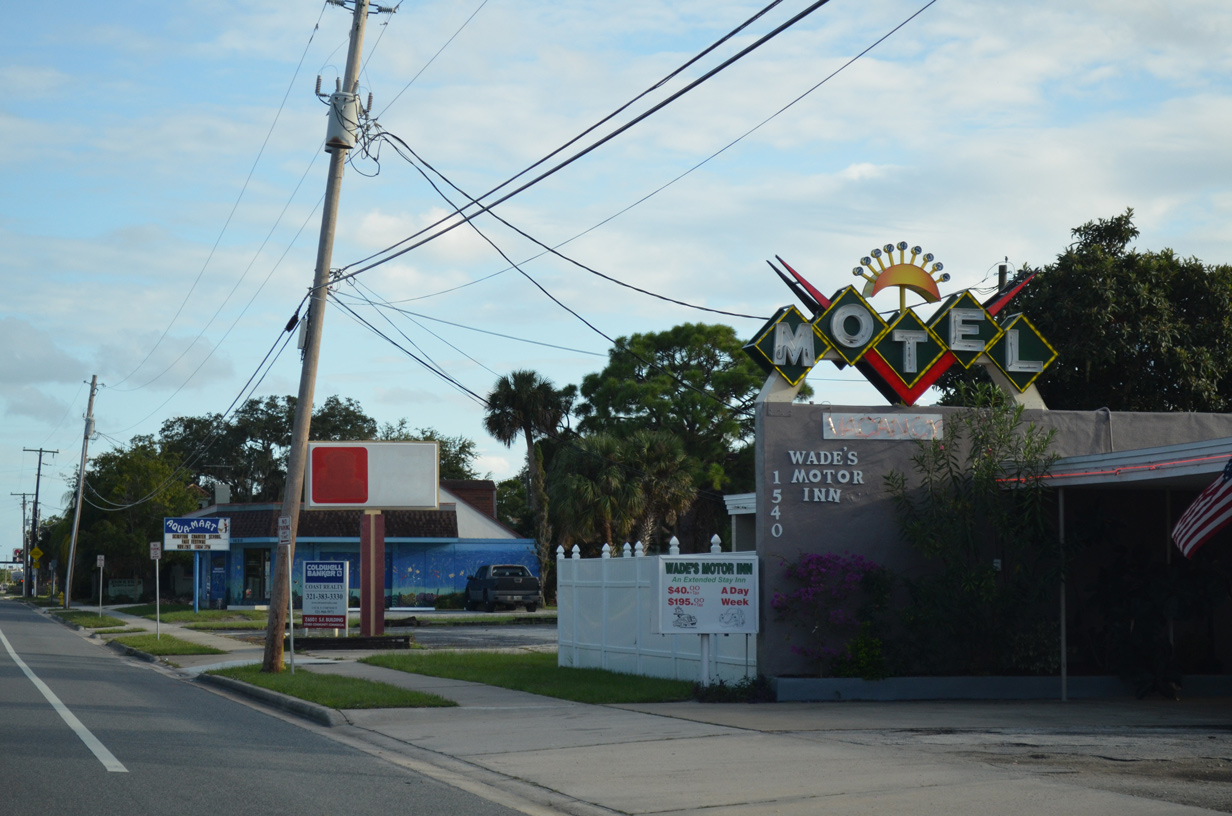
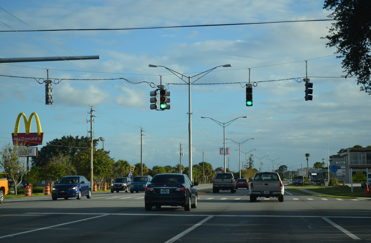
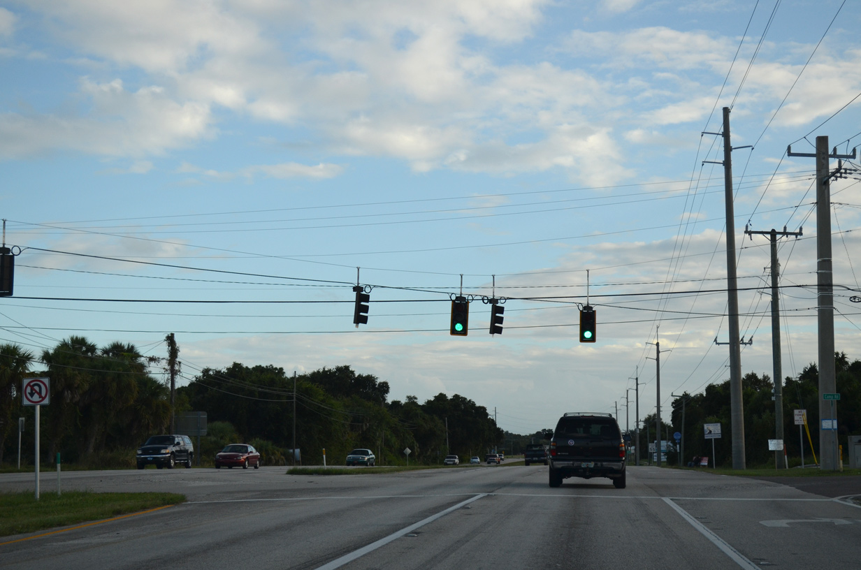
U.S. 1 south at Knox McRae Drive and Kirk Point Park.
09/28/13
09/28/13
09/28/13
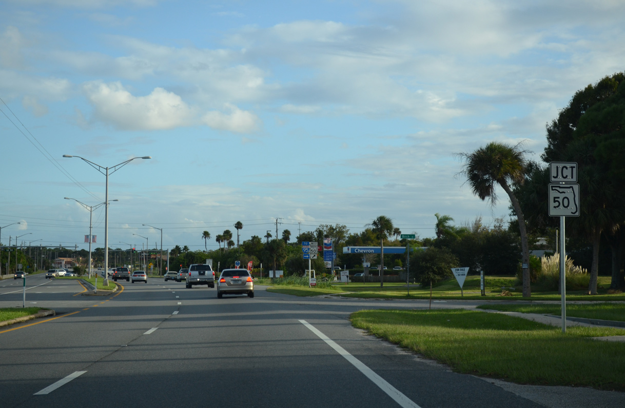
A cross peninsular route west to U.S. 19 at Weeki Wachee, State Road 50 commences along Cheney Highway from U.S. 1 in Titusville.
09/28/13
09/28/13
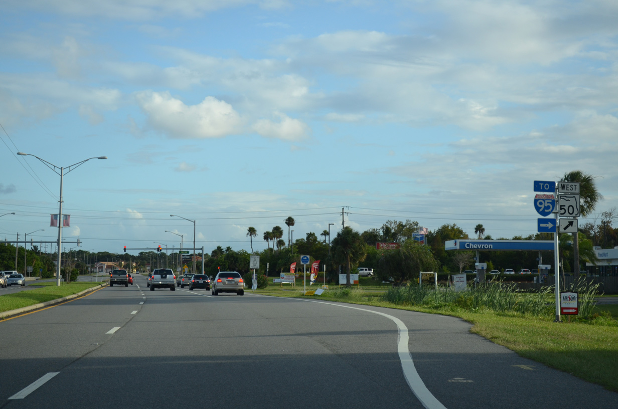
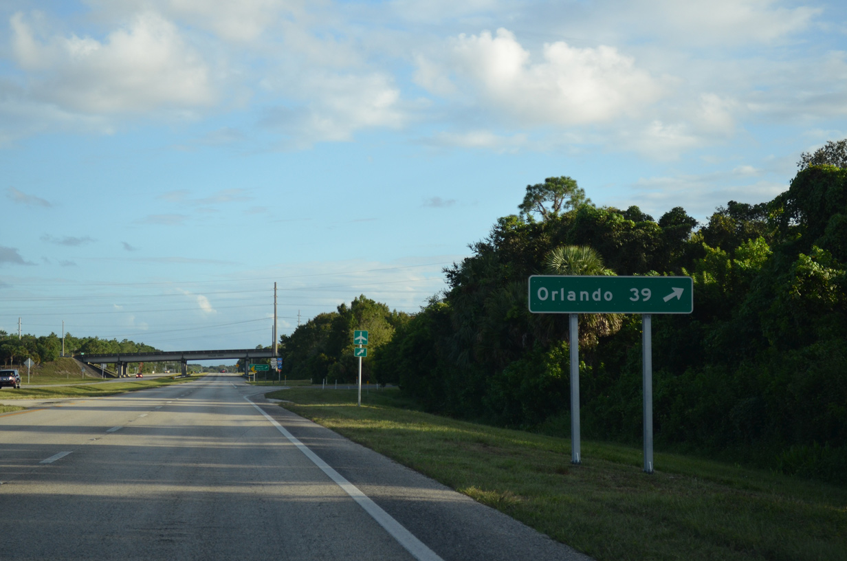
SR 50 (Cheney Highway) is a major arterial route linking Titusville with Orlando. SR 50 meets Interstate 95 just west of SR 405 at Exit 215.
09/28/13
09/28/13
09/28/13
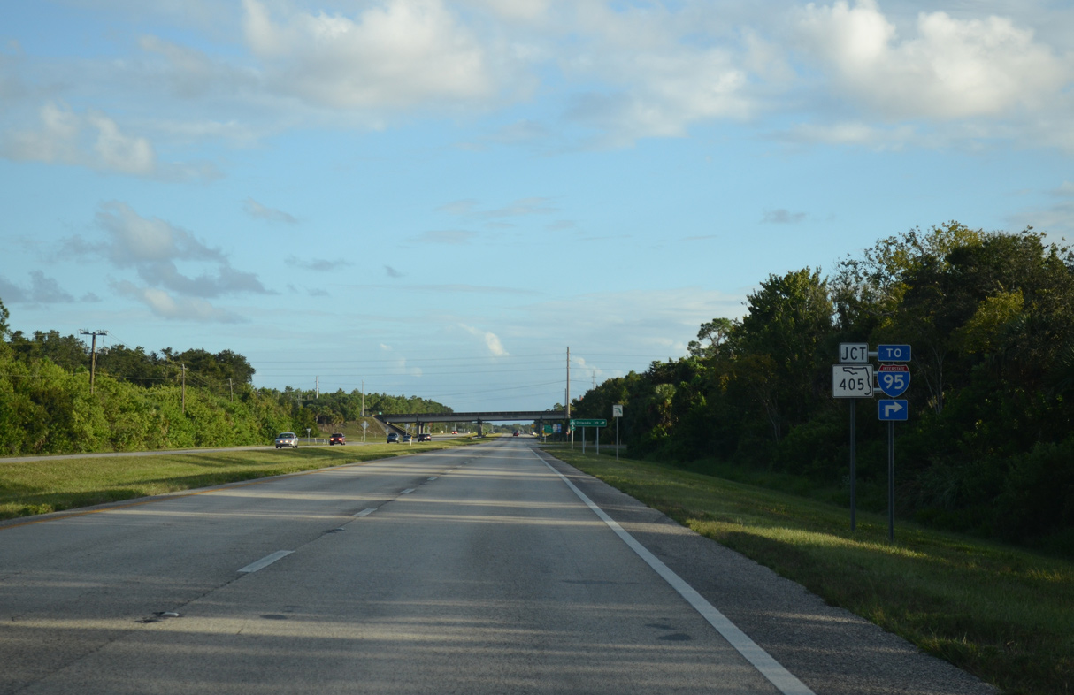
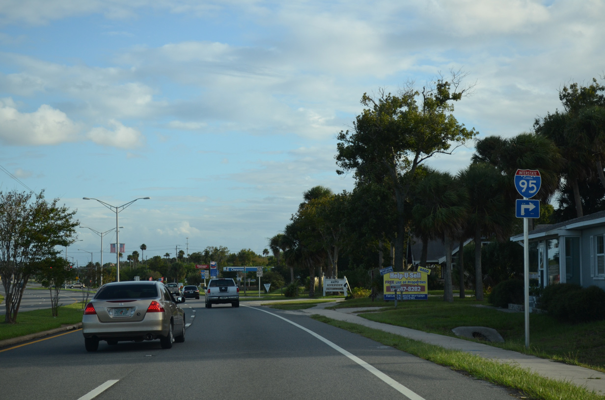
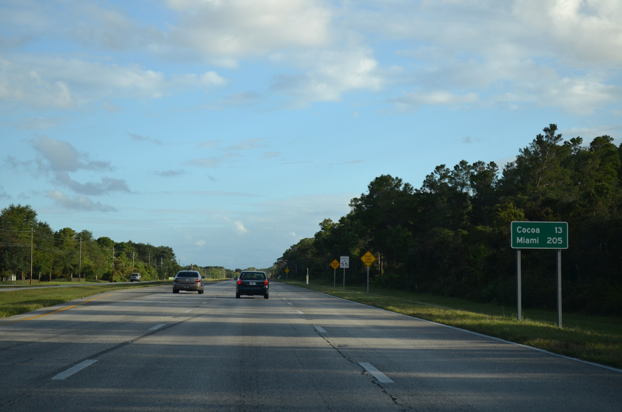
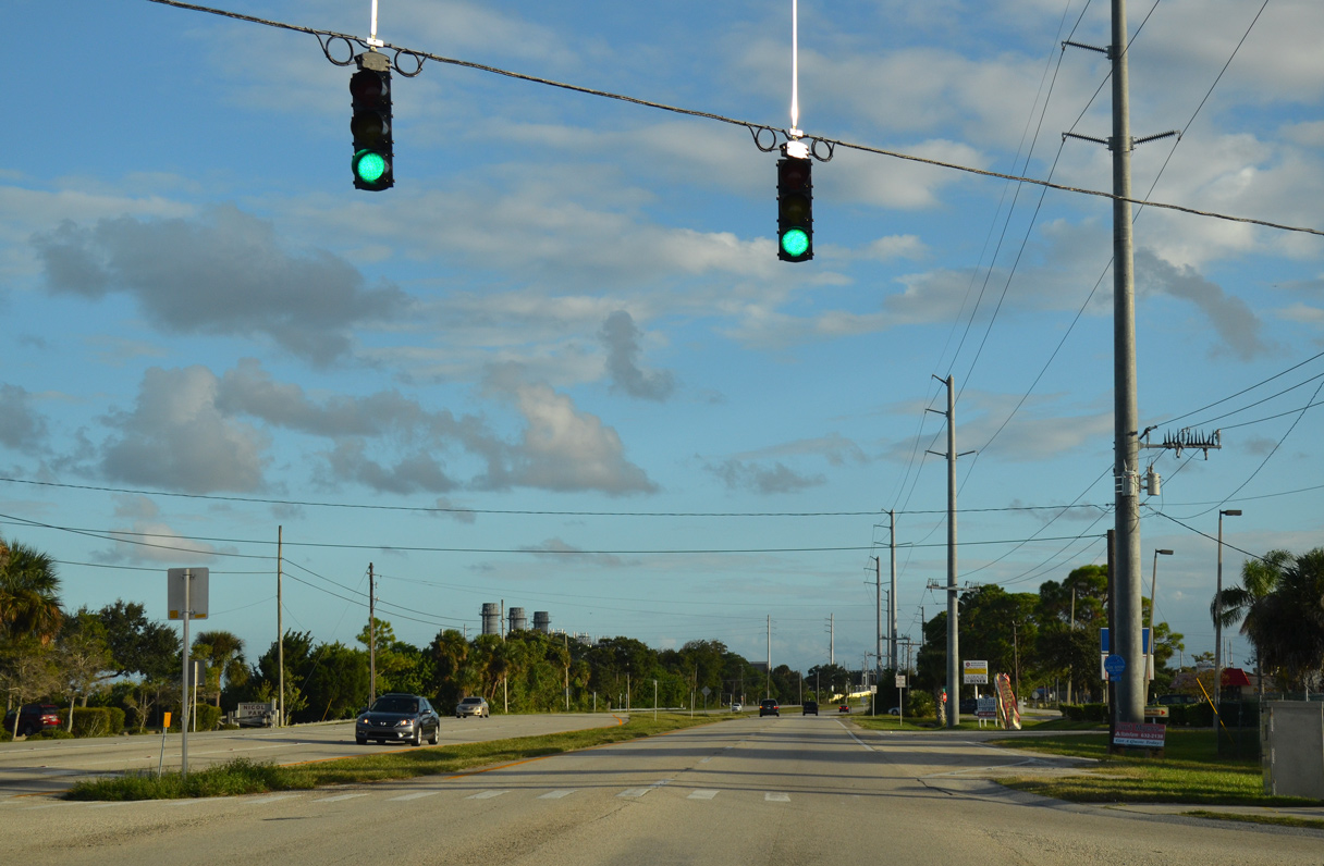
Paralleling the Florida East Coast (FEC) Railway, U.S. 1 advances through south Titusville to a cloverleaf interchange with SR 405 (Columbia Boulevard).
09/28/13
09/28/13
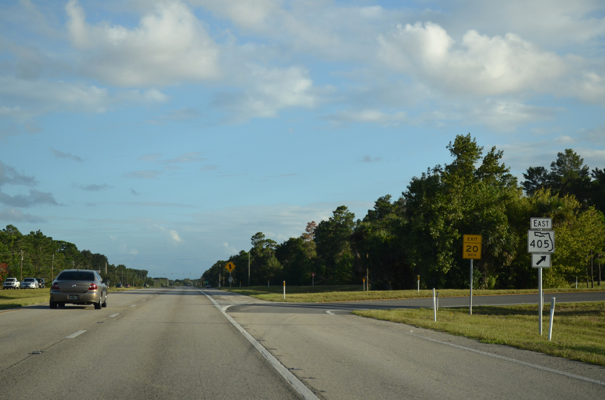
SR 405 (Columbia Boulevard) arcs 4.41 miles northwest to SR 50 (Cheney Highway).
09/28/13
09/28/13
09/28/13
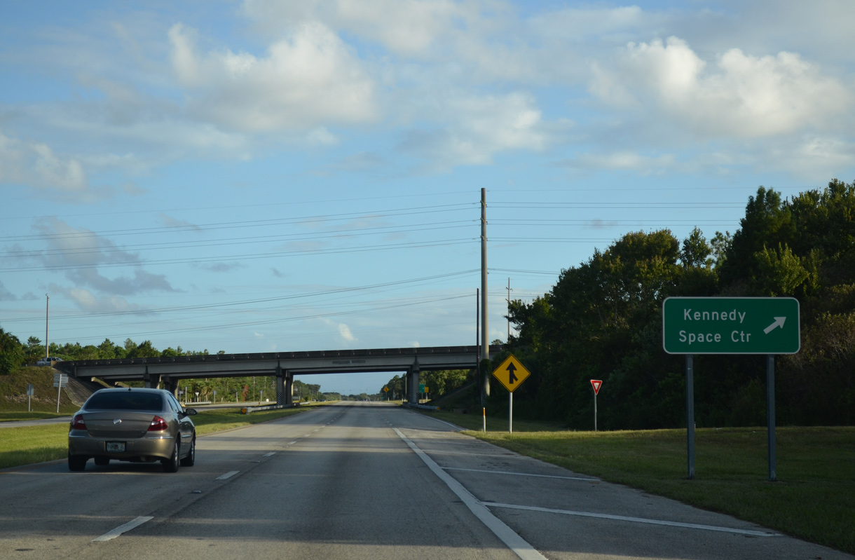
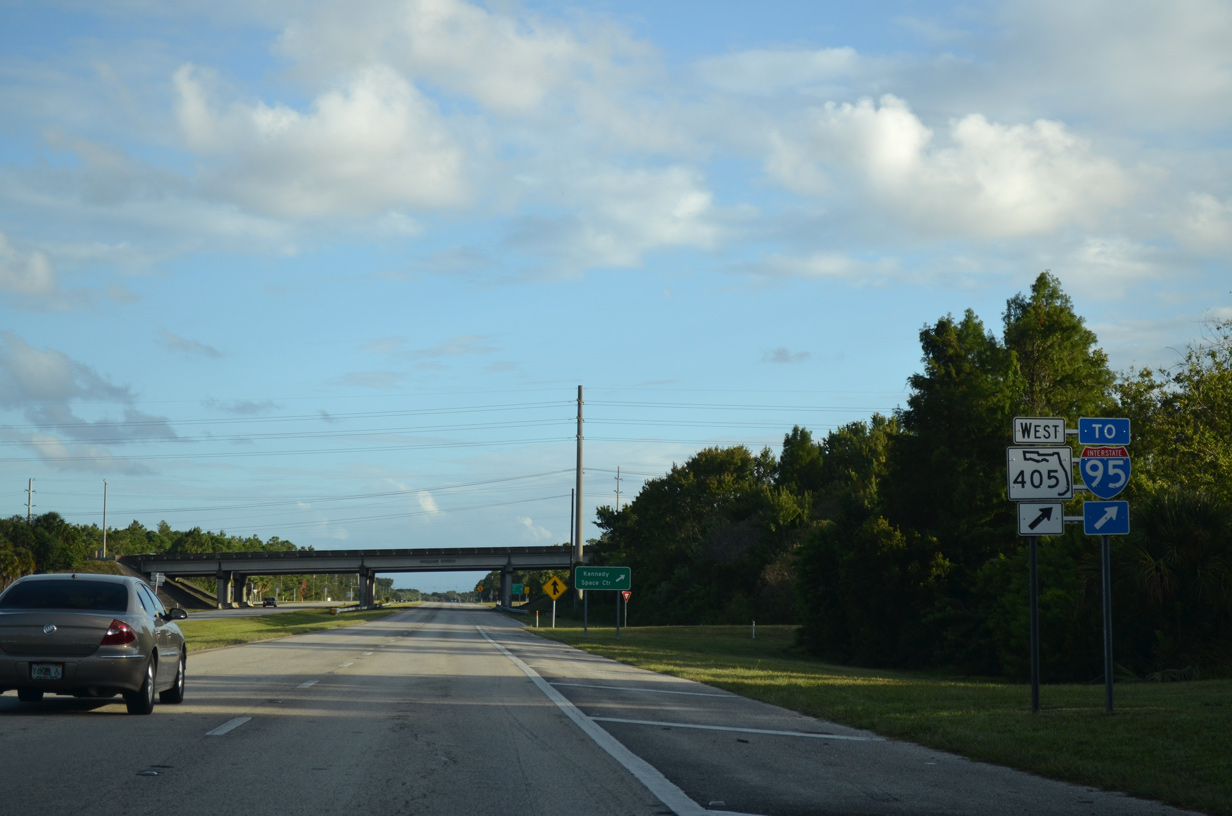
SR 405 (Columbia Boulevard) east transitions to Nasa Causeway (unsigned CR 405) just beyond the exchange with U.S. 1 en route to the Kennedy Space Center.
09/28/13
09/28/13
09/28/13
09/28/13
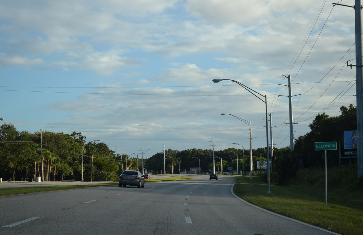
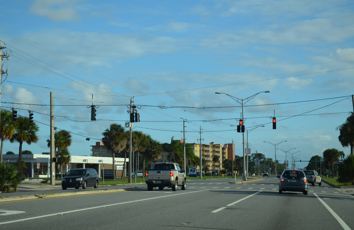
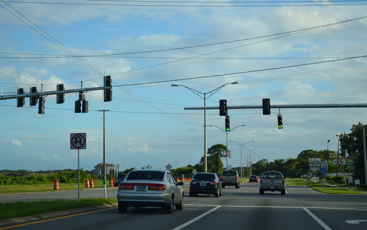
U.S. 1 leaves the Titusville city limits south at Bellwood.
09/28/13
09/28/13
09/28/13
09/28/13
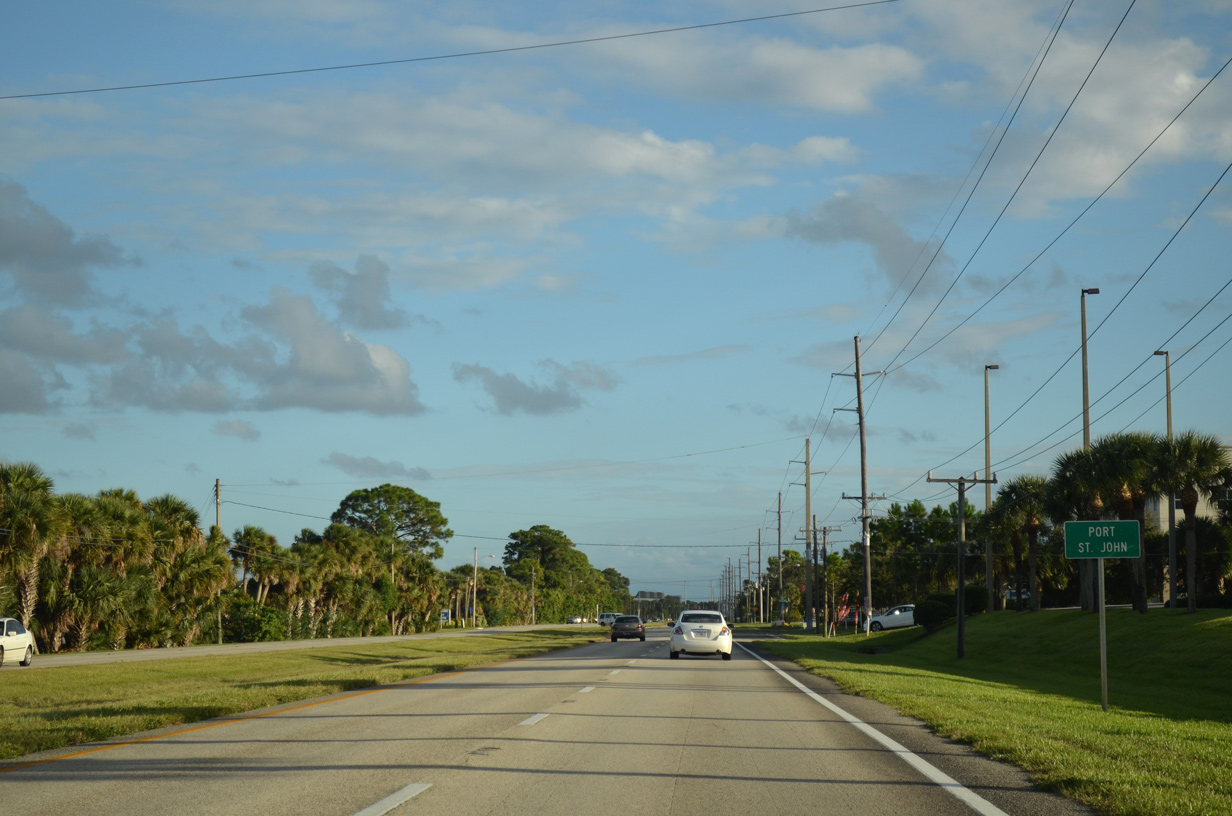
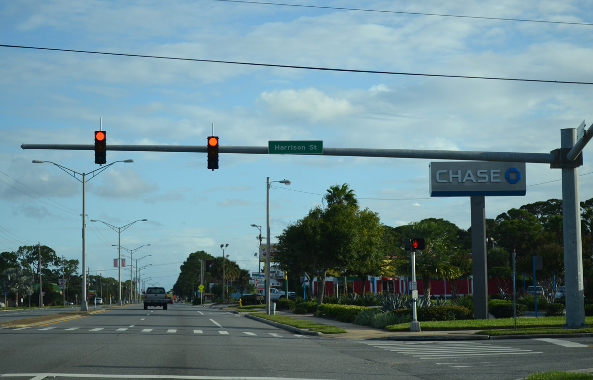
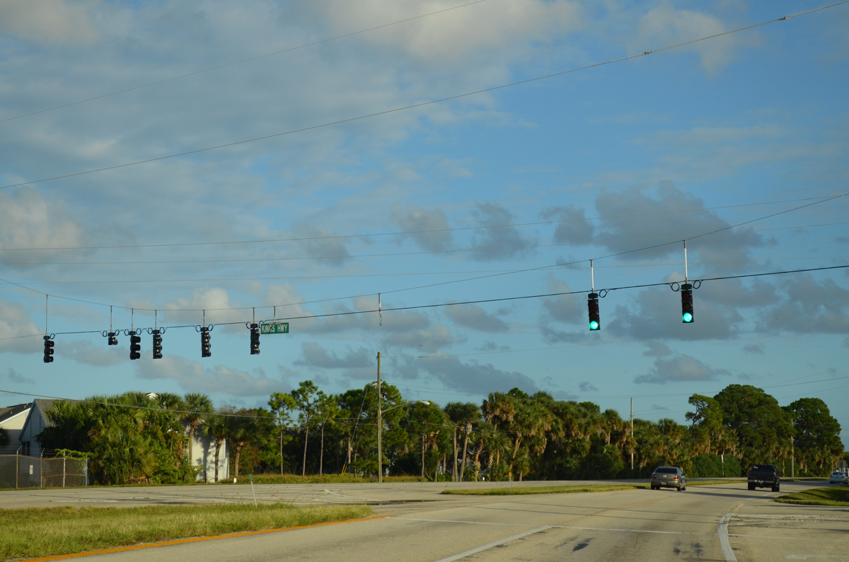
U.S. 1 enters the community of Port St. Johns south of Kings Highway.
09/28/13
09/28/13
Fay Boulevard represents the main arterial west across Port St. John.
09/28/13
09/28/13
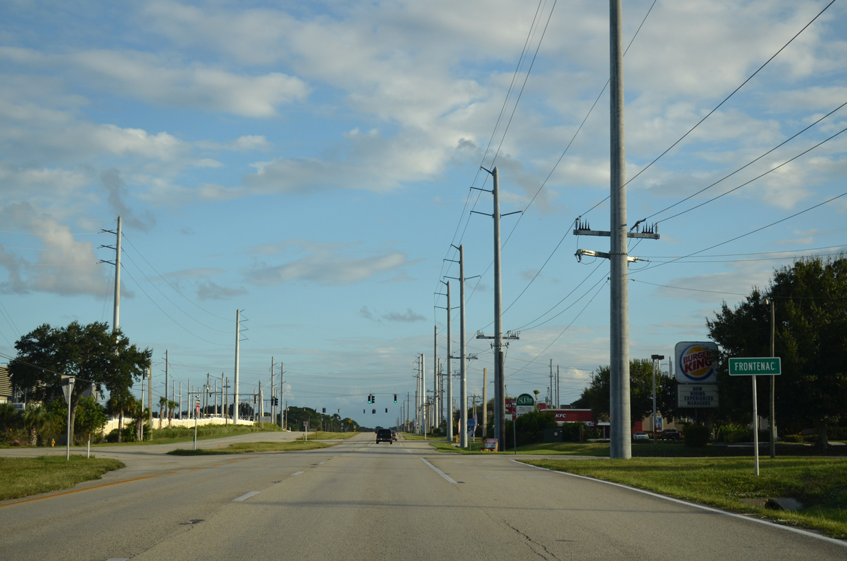
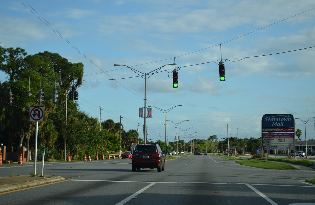
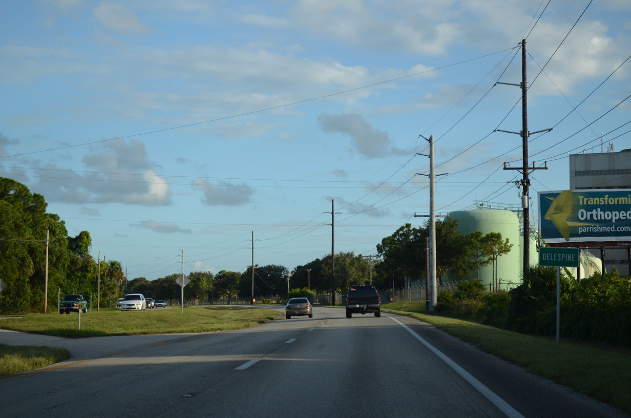
Continuing south from Port St. John, U.S. 1 passes through Frontenac.
09/28/13
09/28/13
09/28/13
09/28/13
Camp Road stems west from U.S. 1 to Grissom Parkway.
09/28/13
09/28/13
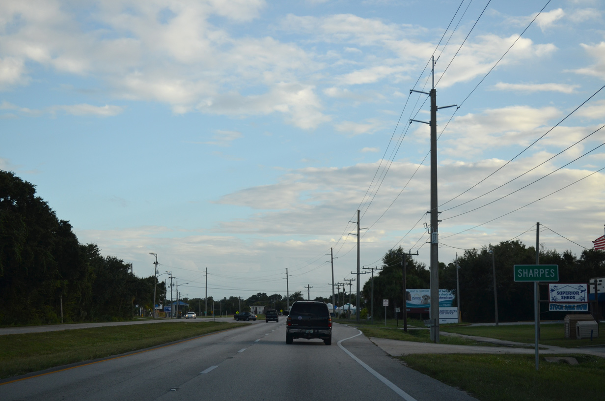
U.S. 1 passes through Sharpes ahead of Cocoa.
09/28/13
09/28/13

09/28/13
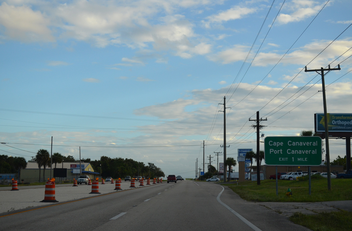
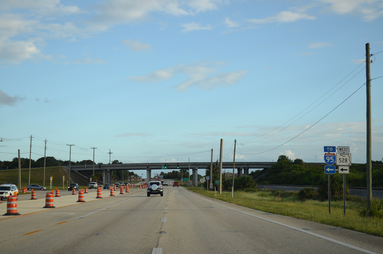
U.S. 1 (Cocoa Boulevard) converges with SR 528 (Martin Anderson Beachline Expressway) and SR A1A south along the north Cocoa city line in one mile.
09/28/13
09/28/13
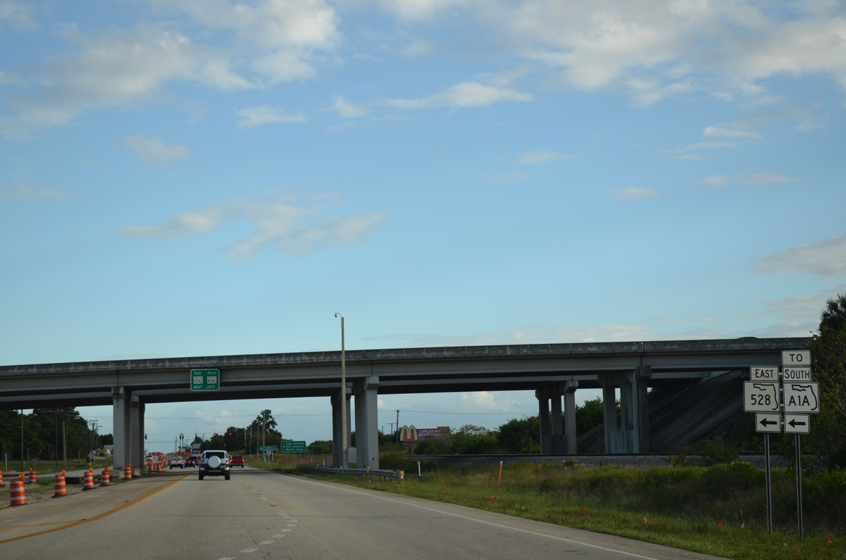
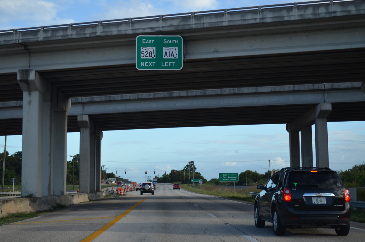
A folded diamond interchange joins U.S. 1 (Cocoa Boulevard) with SR A1A/528 (Beachline Expressway) adjacent to the Florida East Coast (FEC) Railway.
09/28/13
09/28/13
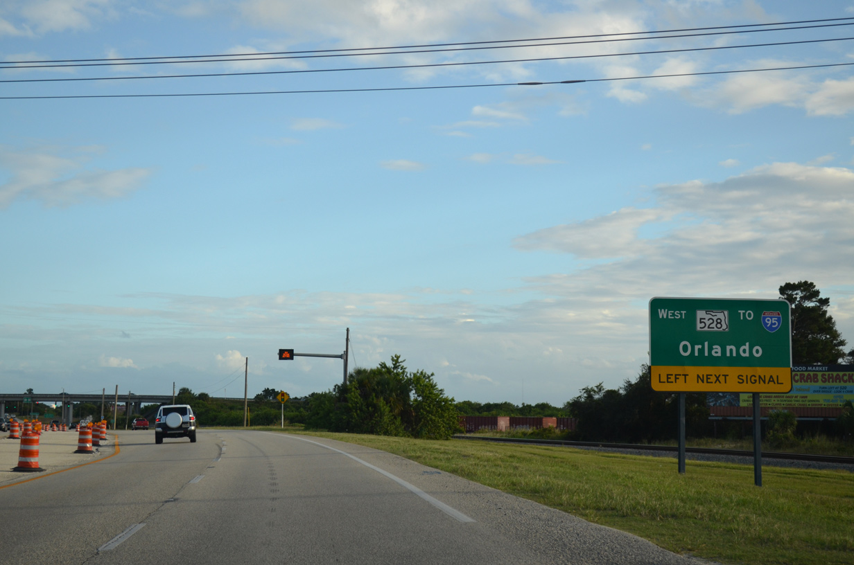
SR 528 (Beachline Expressway) travels west to Interstate 4 south of Orlando.
09/28/13
09/28/13
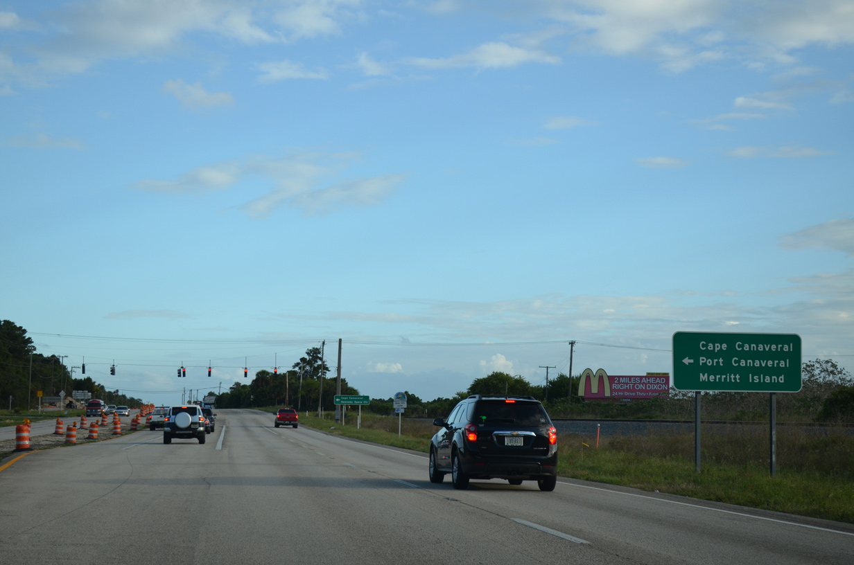
SR A1A/528 overlap east across Merritt Island to Port Canaveral.
09/28/13
09/28/13
SR A1A (Astronaut Boulevard) extends south from SR 528 into the city of Cape Canaveral en route to Cocoa Beach and Satellite Beach.
09/28/13
09/28/13
09/28/13
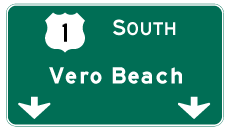

Photo Credits:
- ABRoads: 09/28/13
Connect with:
Page Updated Tuesday August 30, 2022.