
U.S. 13 South - Chesapeake Bay Bridge Tunnel
Statistics for the CBBT bridges and tunnels were obtained from the Chesapeake Bay Bridge-Tunnel Facts page.
 South
South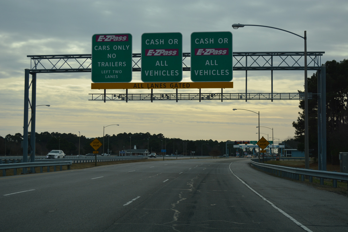
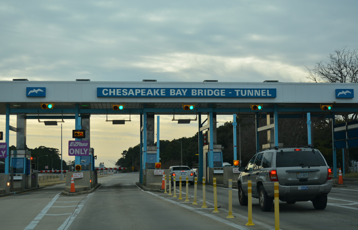
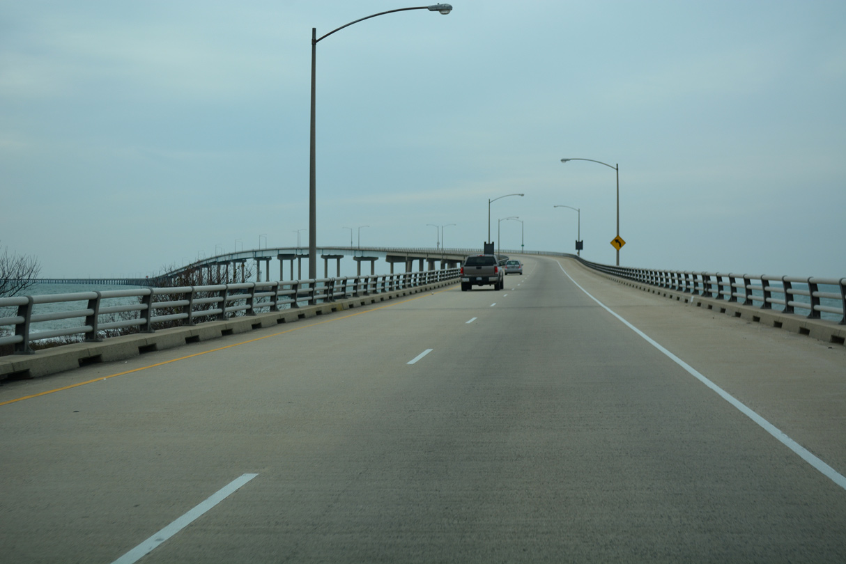
The Chesapeake Bay Bridge-Tunnel (CBBT) Toll Plaza lies just south of SR 600 (Wise Point Lane)a cross from the Eastern Shore of Virginia Welcome Center.
12/30/17
12/30/17
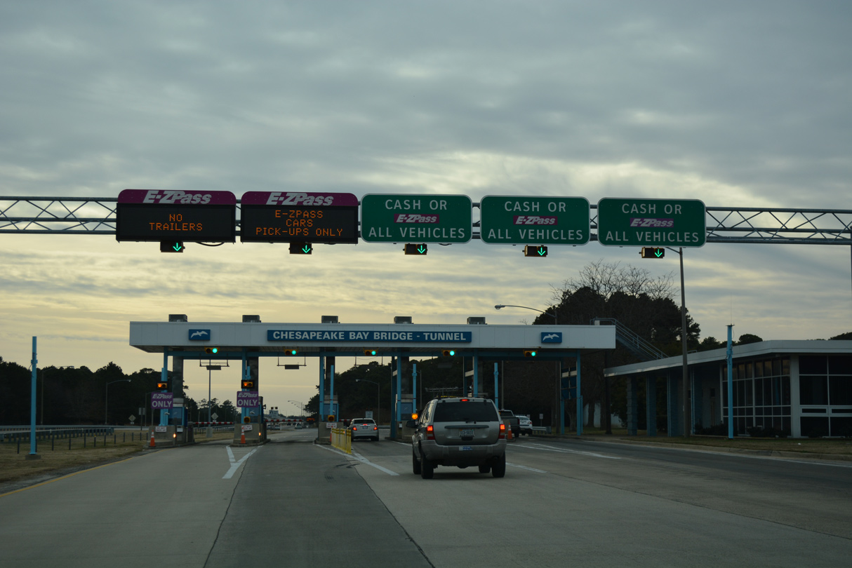
Increased toll rates are levied during peak season, from May 15 to September 15.
12/30/17
12/30/17
12/30/17
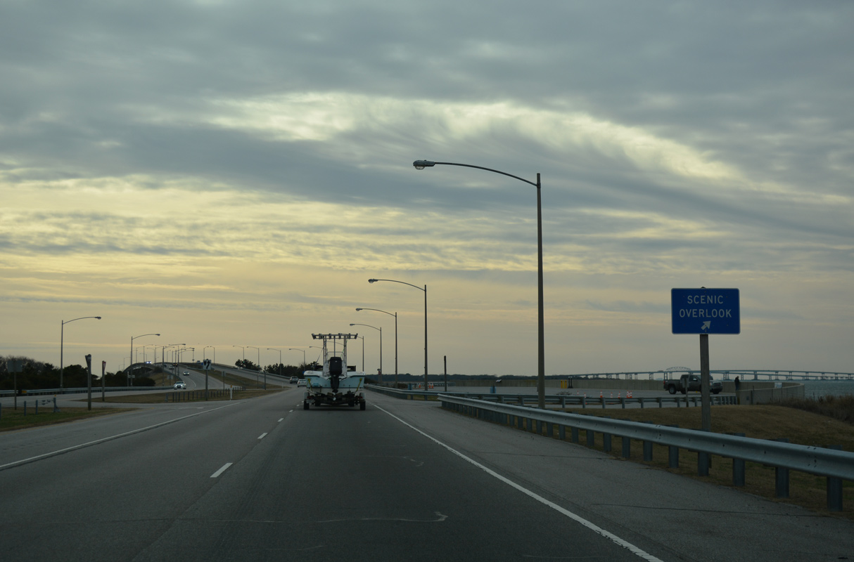
A scenic overlook lines the west side of U.S. 13 at the south end of Cape Charles near Wise Point.
12/30/17
12/30/17
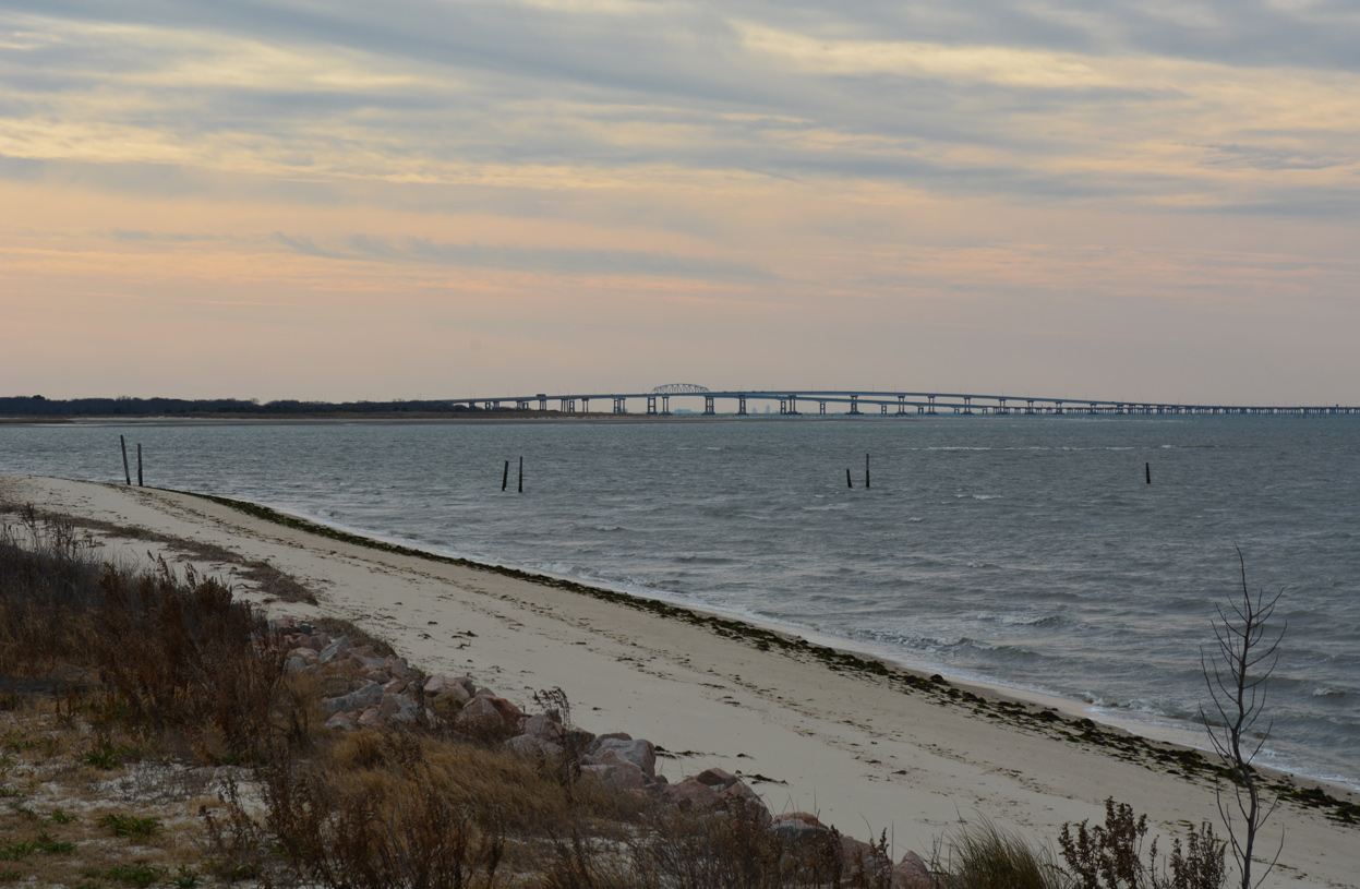
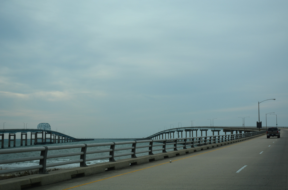
The North Channel Bridges on the CBBT and high rises from Norfolk appear along the southern horizon from Wise Point.
12/30/17
12/30/17
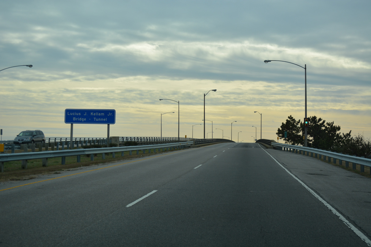
The CBBT is officially the Lucius J. Kellam, Jr. Bridge-Tunnel.
12/30/17
12/30/17
U.S. 13 rises to 40 feet across the Fisherman Inlet Bridge.
12/30/17
12/30/17
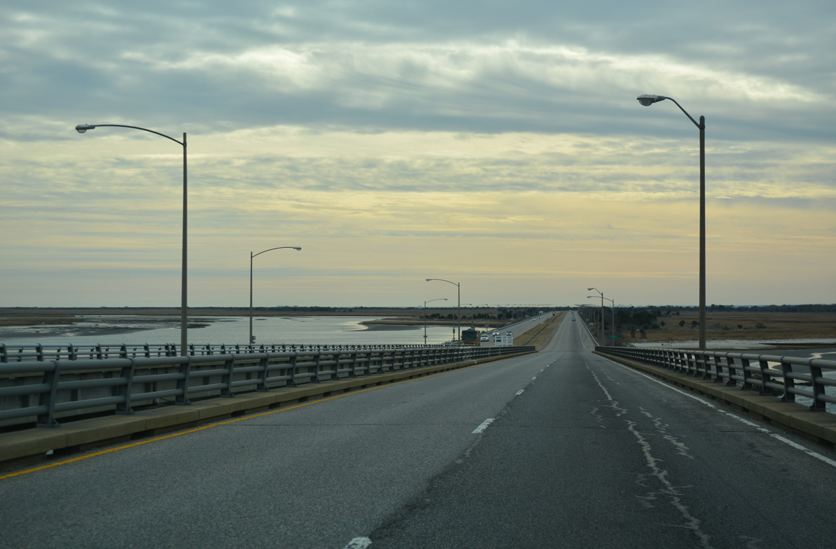
The southbound span across Fishermans Inlet is 460 feet in length, three feet longer than the northbound bridge.
12/30/17
12/30/17
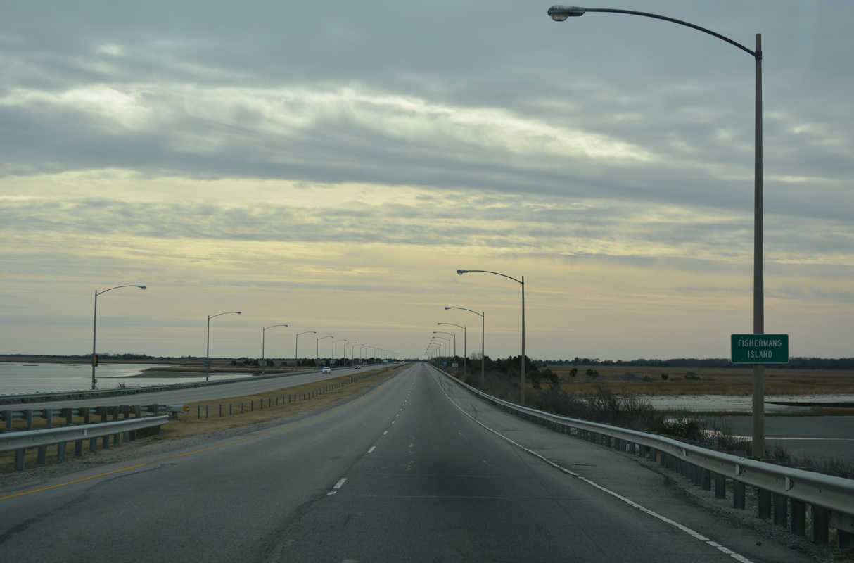
U.S. 13 lowers onto a causeway across Fishermans Island and Fisherman Island National Wildlife Refuge.
12/30/17
12/30/17
12/30/17
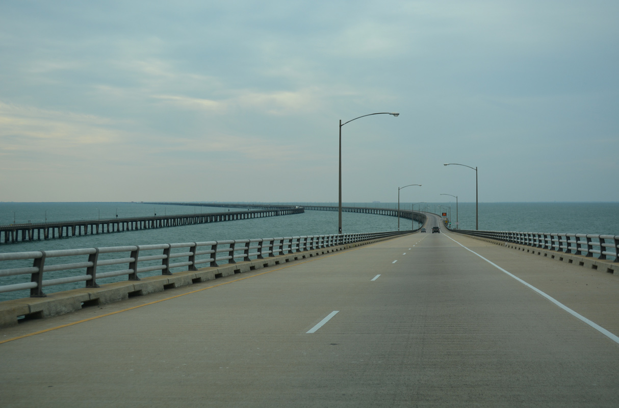
Curving southwest from Fishermans Island, the roadways of U.S. 13 separate for the high rise spans across North Channel.
12/30/17
12/30/17
3,100 feet in length, the southbound bridge across North Channel crests at 75 feet above the waters of Chesapeake Bay.
12/30/17
12/30/17
12/30/17
12/30/17
The northbound span across North Channel also rises to a vertical clearance of 75 feet.
12/30/17
12/30/17
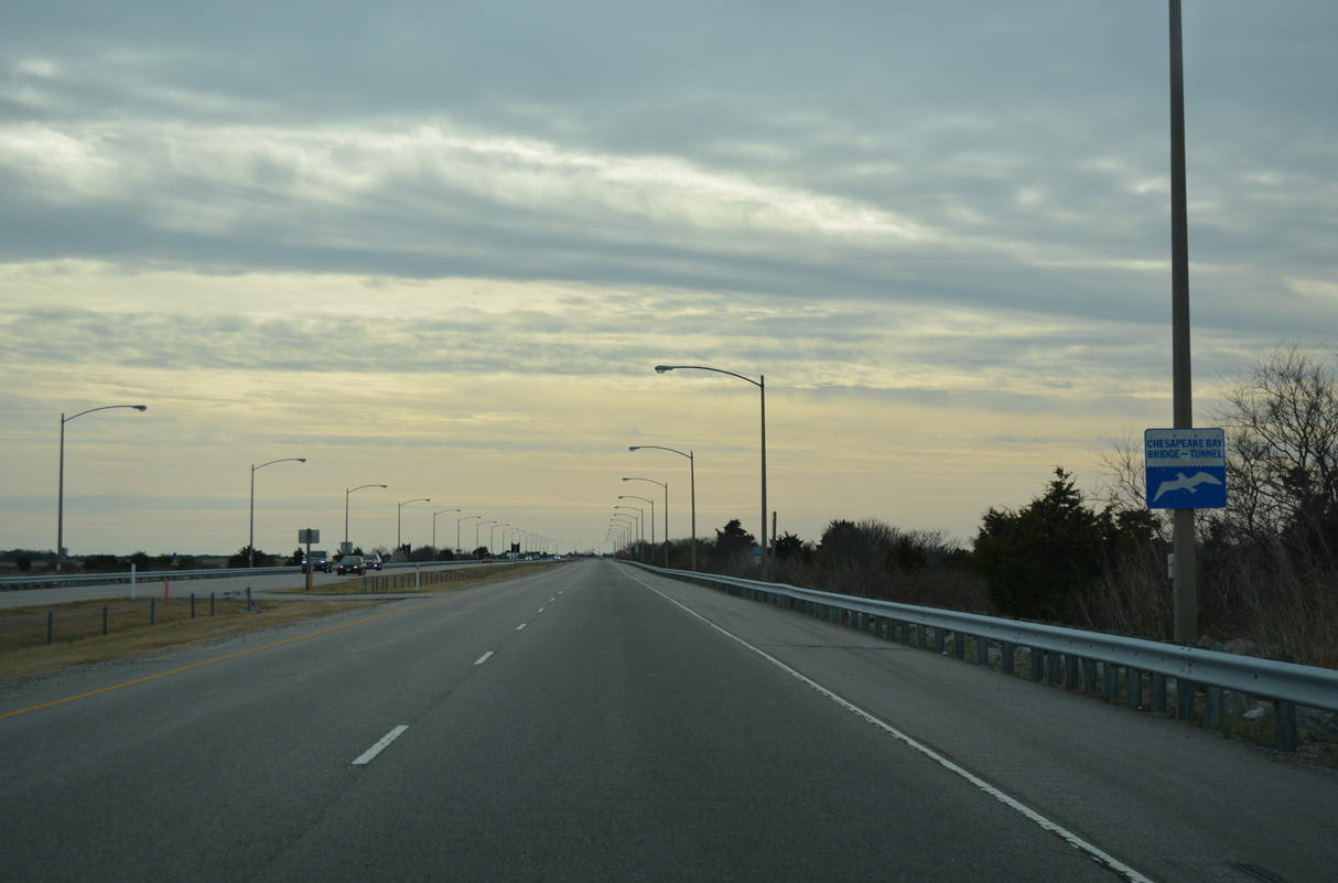
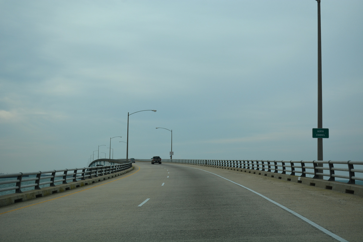
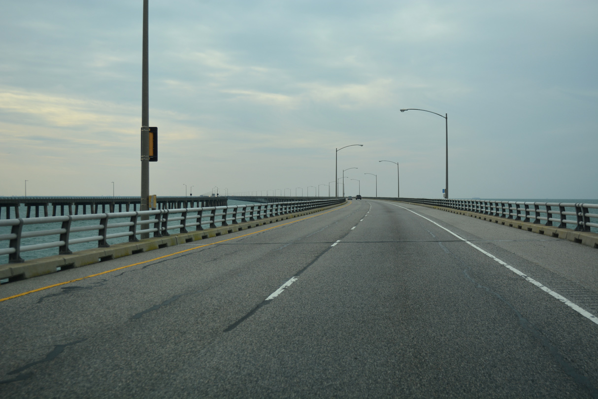
The CBBT shifts westward from the North Channel Bridge ahead of Nine Foot Shoal.
12/30/17
12/30/17
12/30/17

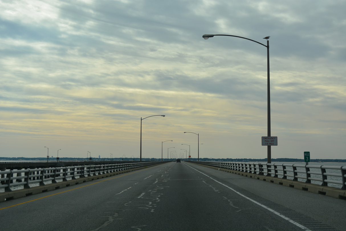
The CBBT uses a separate milepost system from U.S. 13's distance to the North Carolina state line.
12/30/17
12/30/17
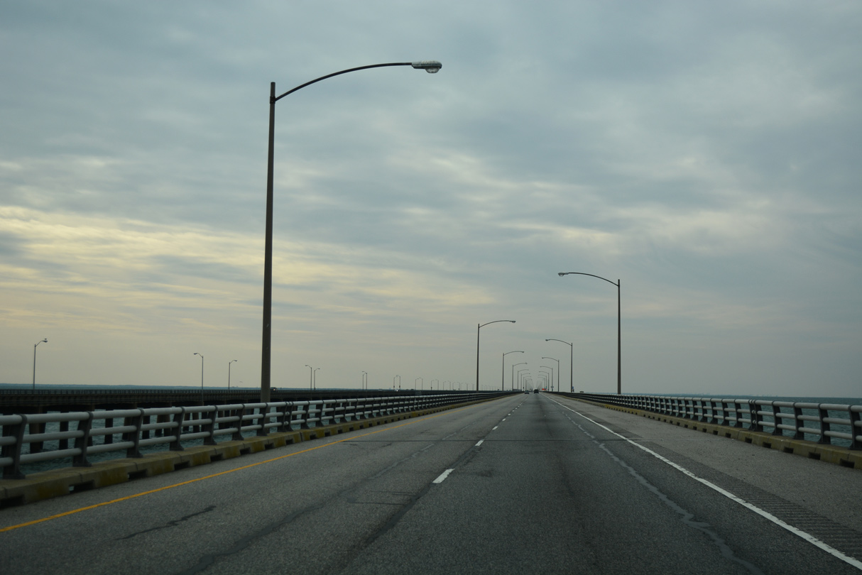
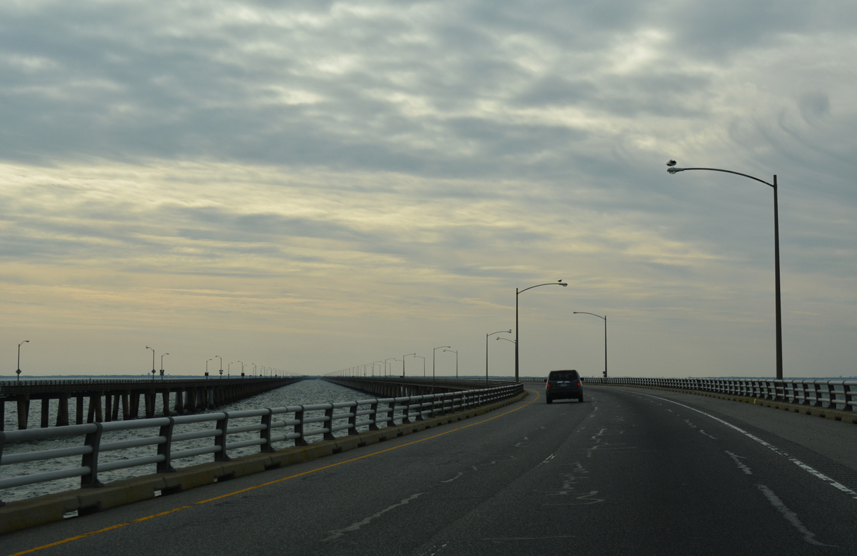
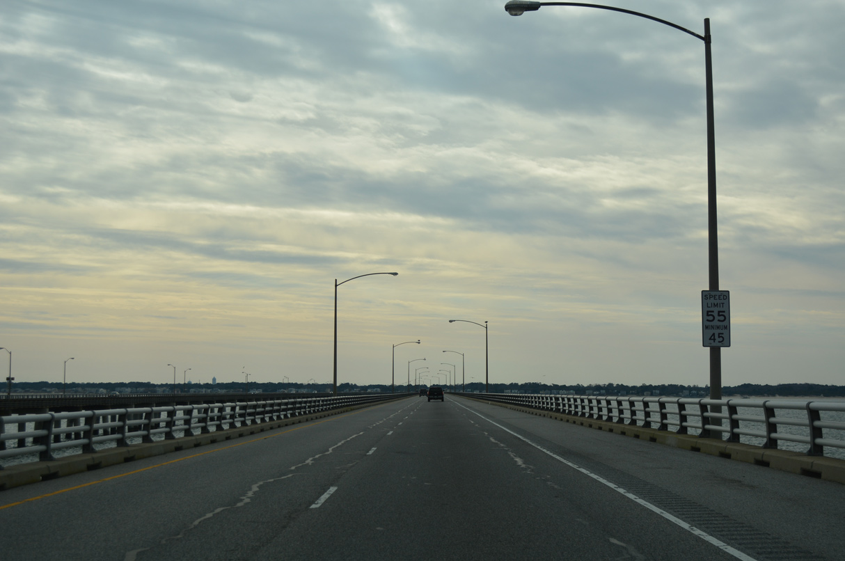
The CBBT bee lines southwest toward Chesapeake Channel.
12/30/17
12/30/17
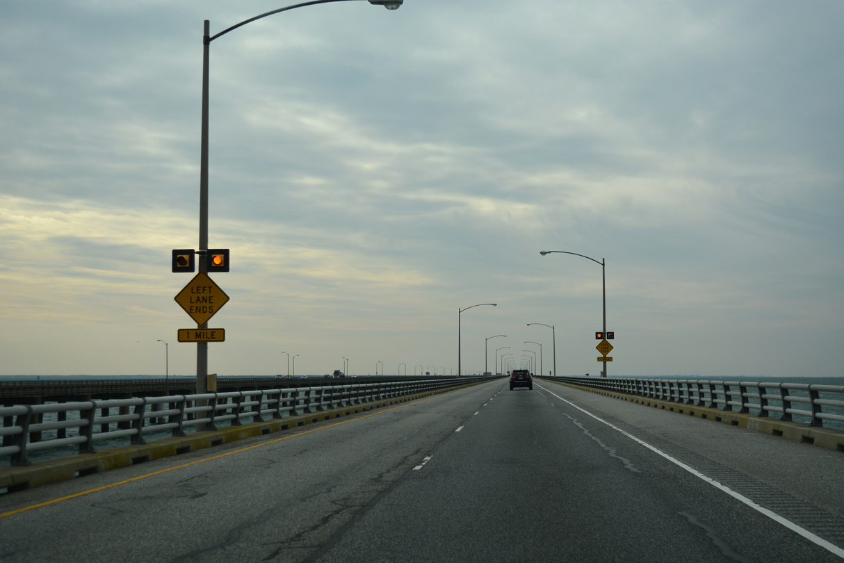
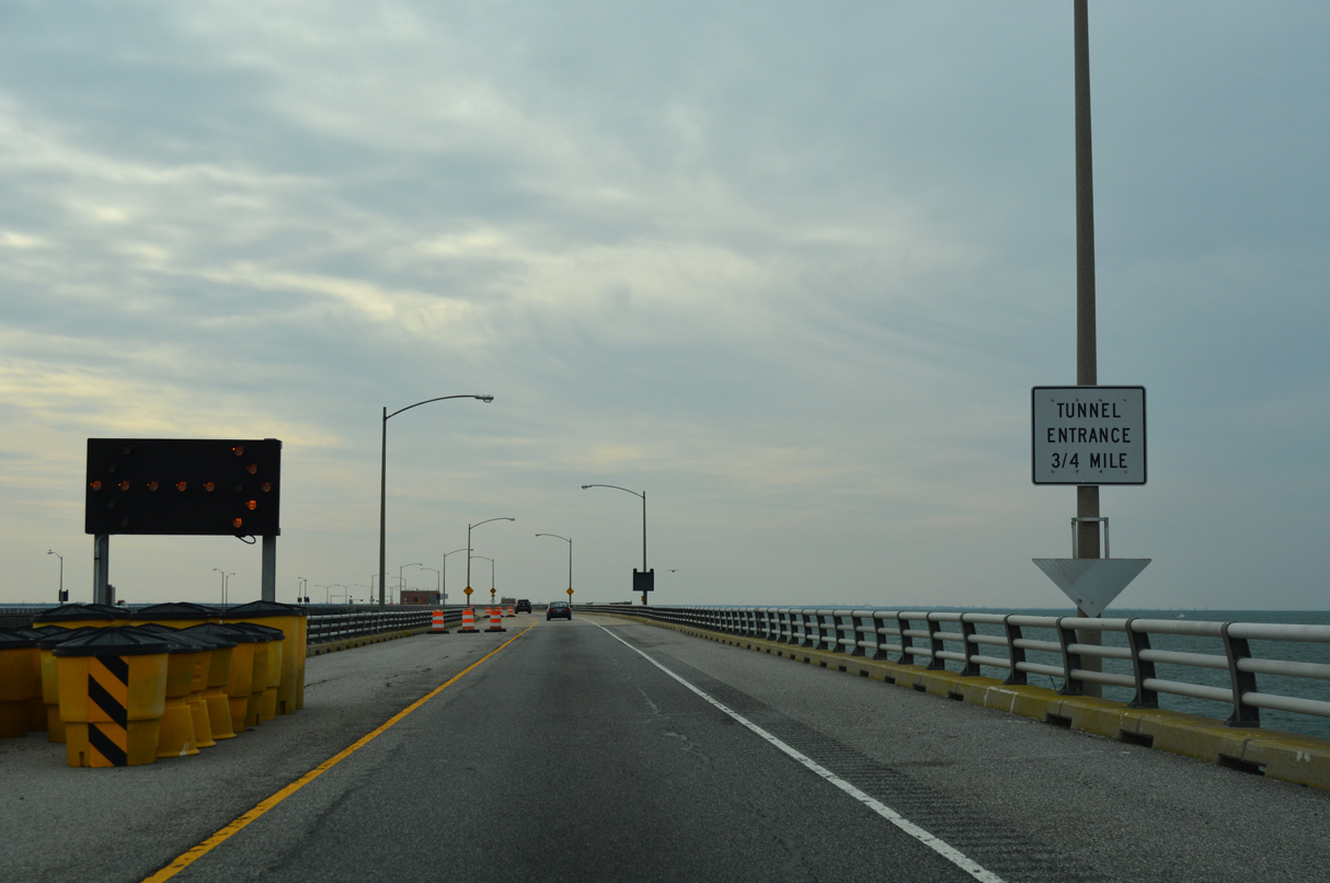
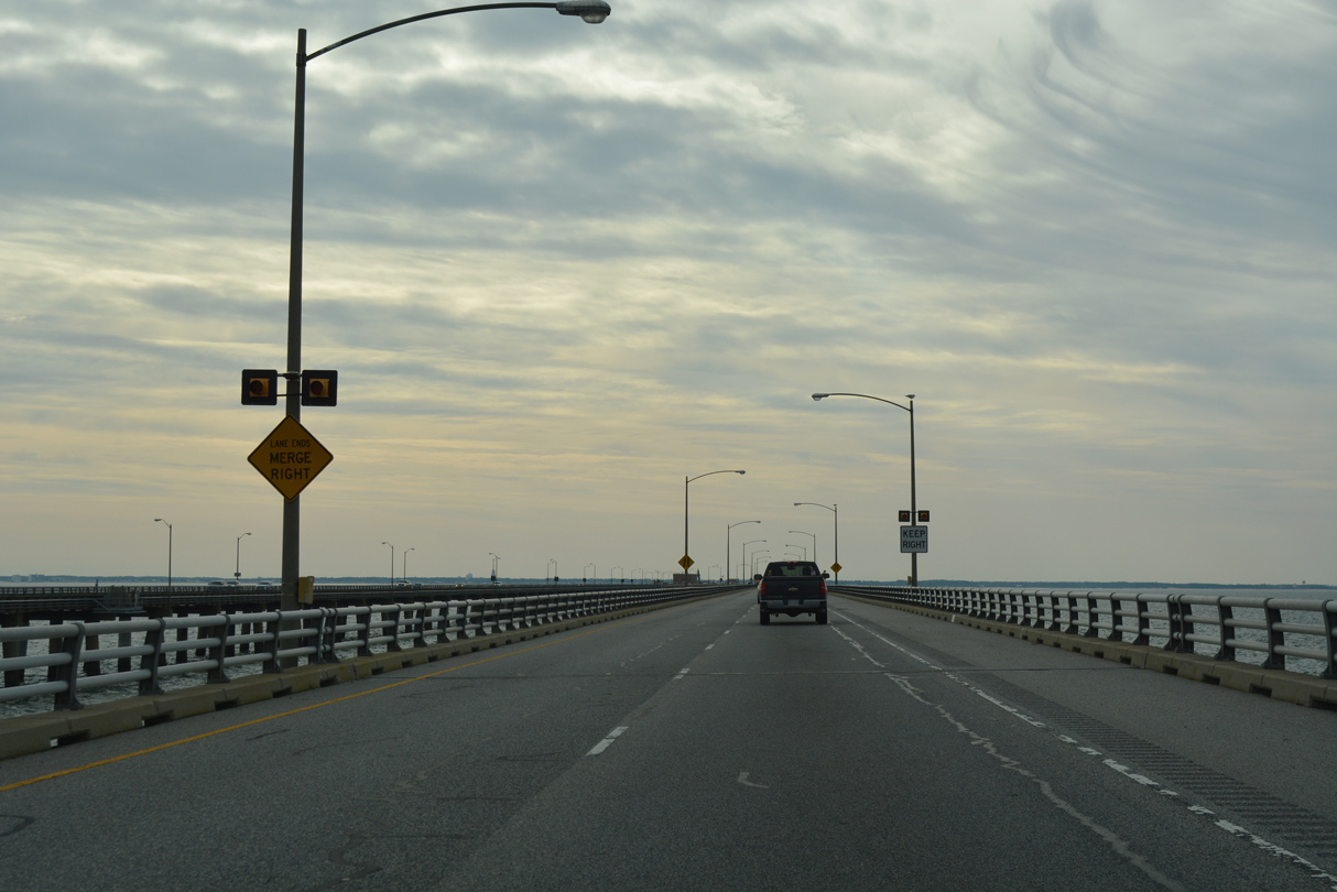
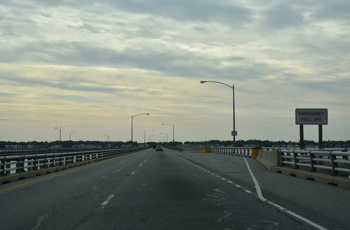
A lane drop occurs along U.S. 13 south at Island 4 for the Chesapeake Channel Tunnel.
12/30/17
12/30/17

12/30/17
12/30/17

12/30/17
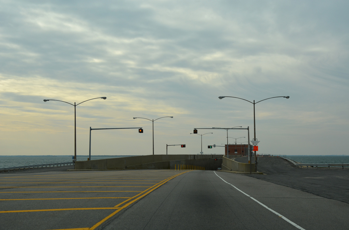
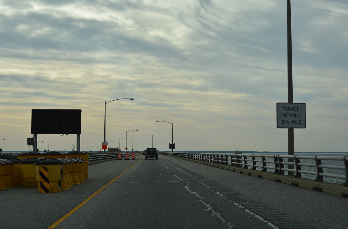
The roadways of U.S. 13 converge on a manmade island preceding the Chesapeake Channel Tunnel.
12/30/17
12/30/17

12/30/17
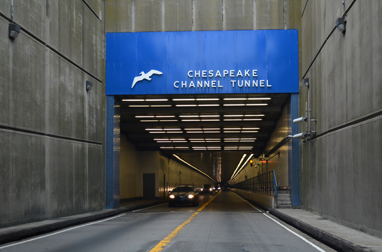
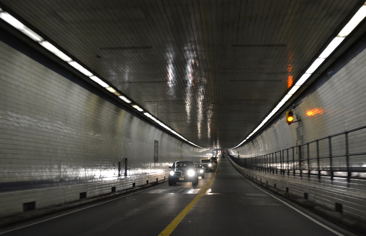
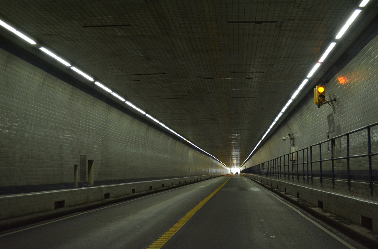
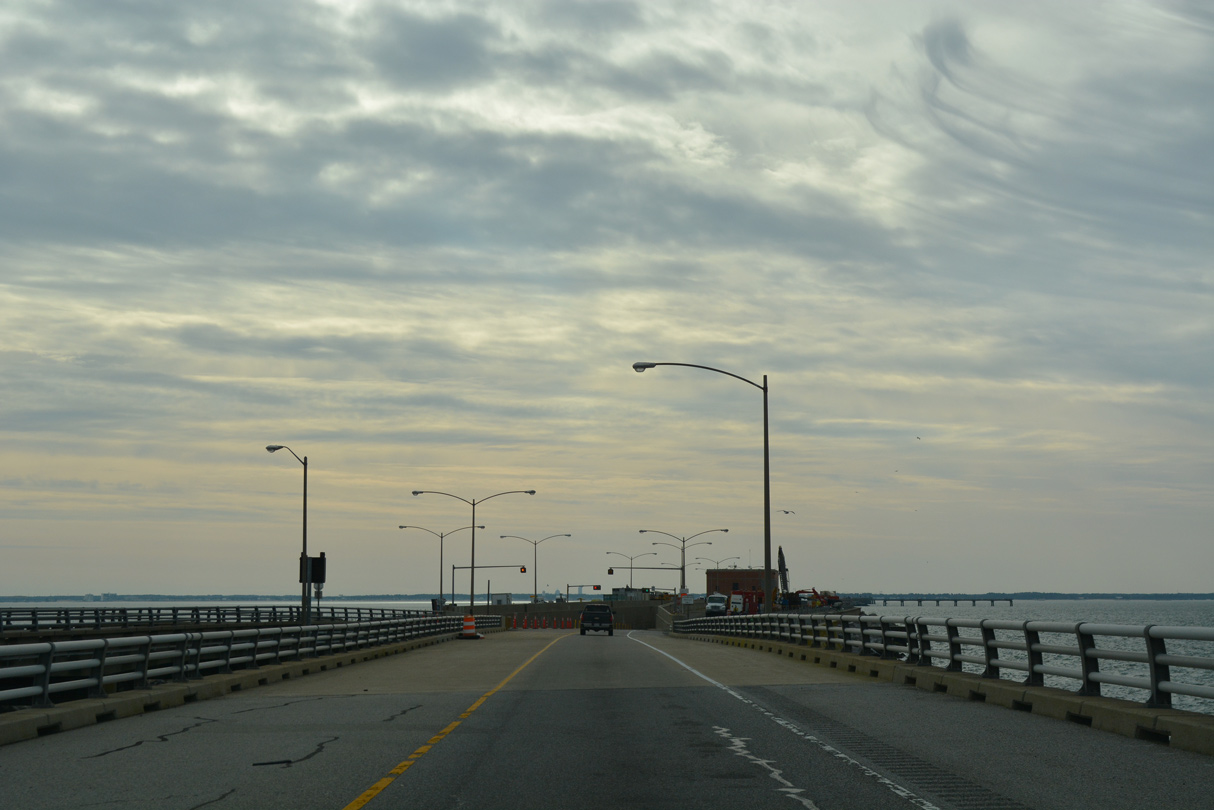
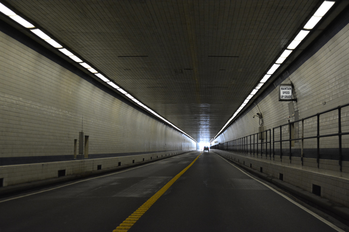
The Chesapeake Channel Tunnel is 5,237 feet in length.
12/30/17
12/30/17
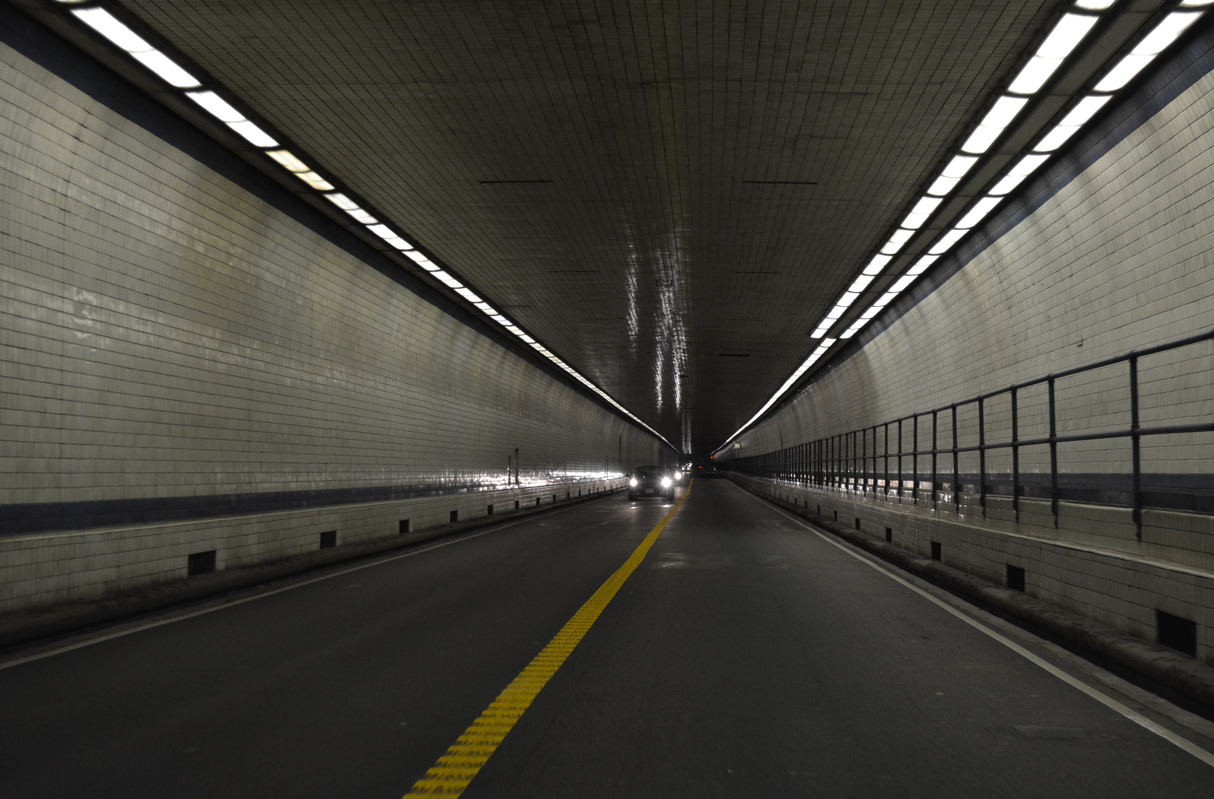
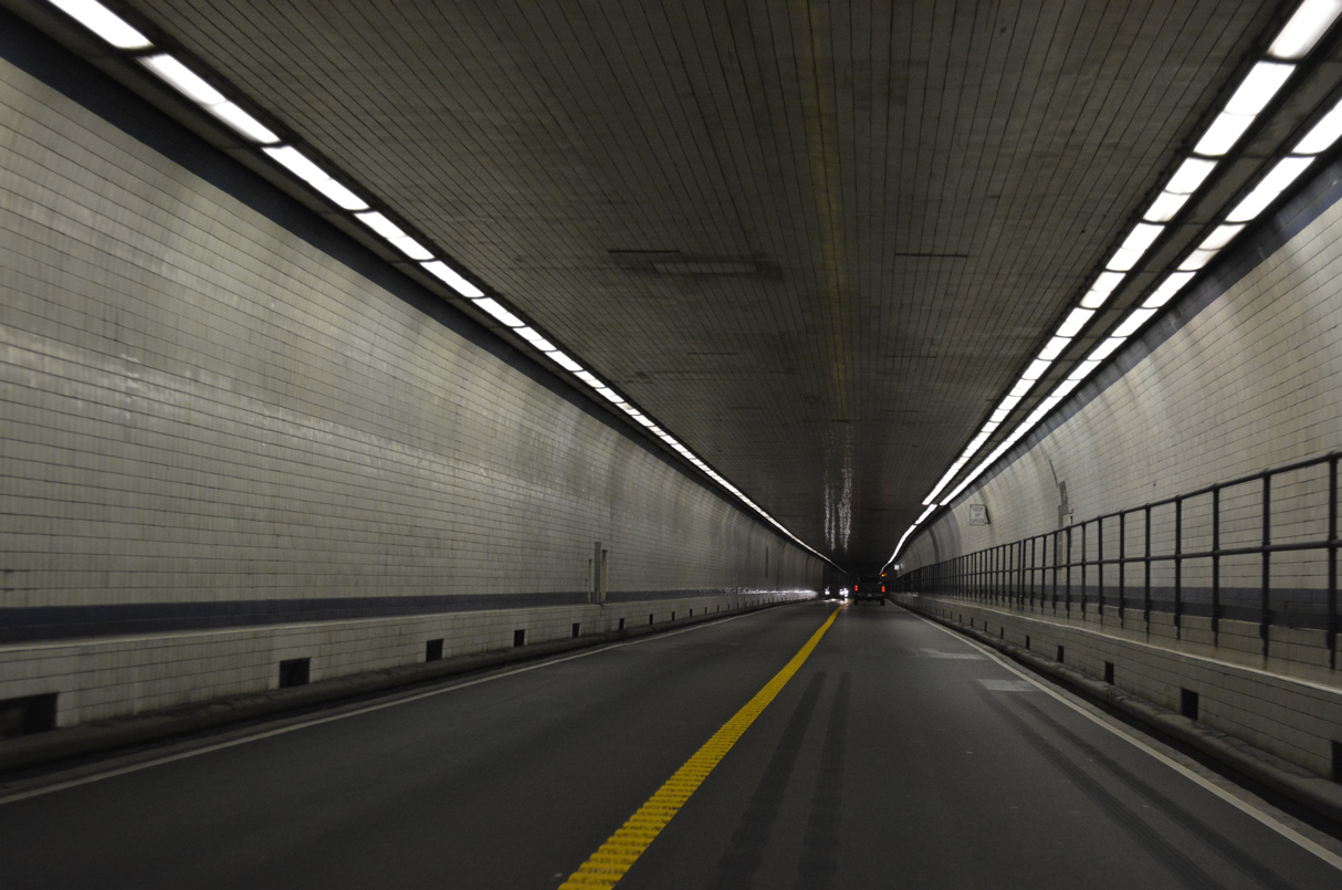
The Chesapeake Channel Tunnel is 24 feet wide with a 13 foot 6 inch clearance.
12/30/17
12/30/17
12/30/17
12/30/17
12/30/17
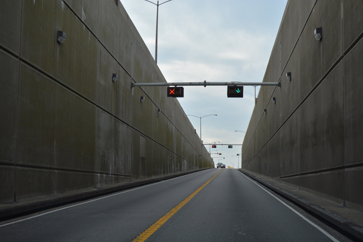
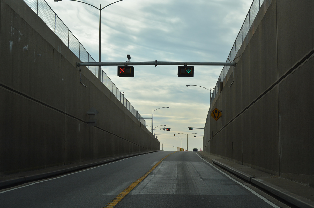
U.S. 13 southbound emerges on Island 3.
12/30/17
12/30/17

12/30/17

12/30/17
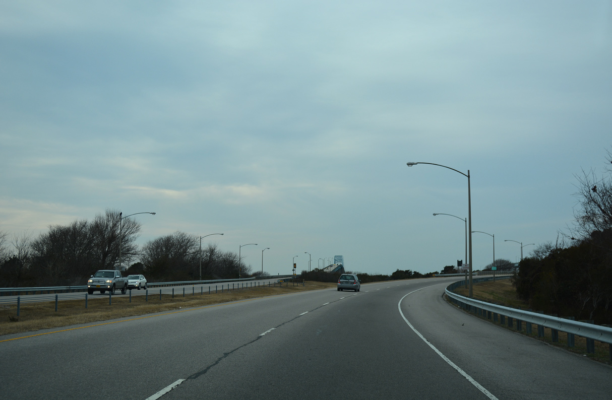
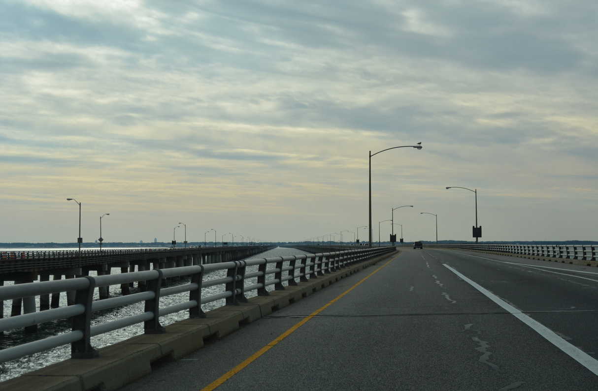
The CBBT turns southward across Chesapeake Bay by the Tail of the Horseshoe.
12/30/17
12/30/17

12/30/17
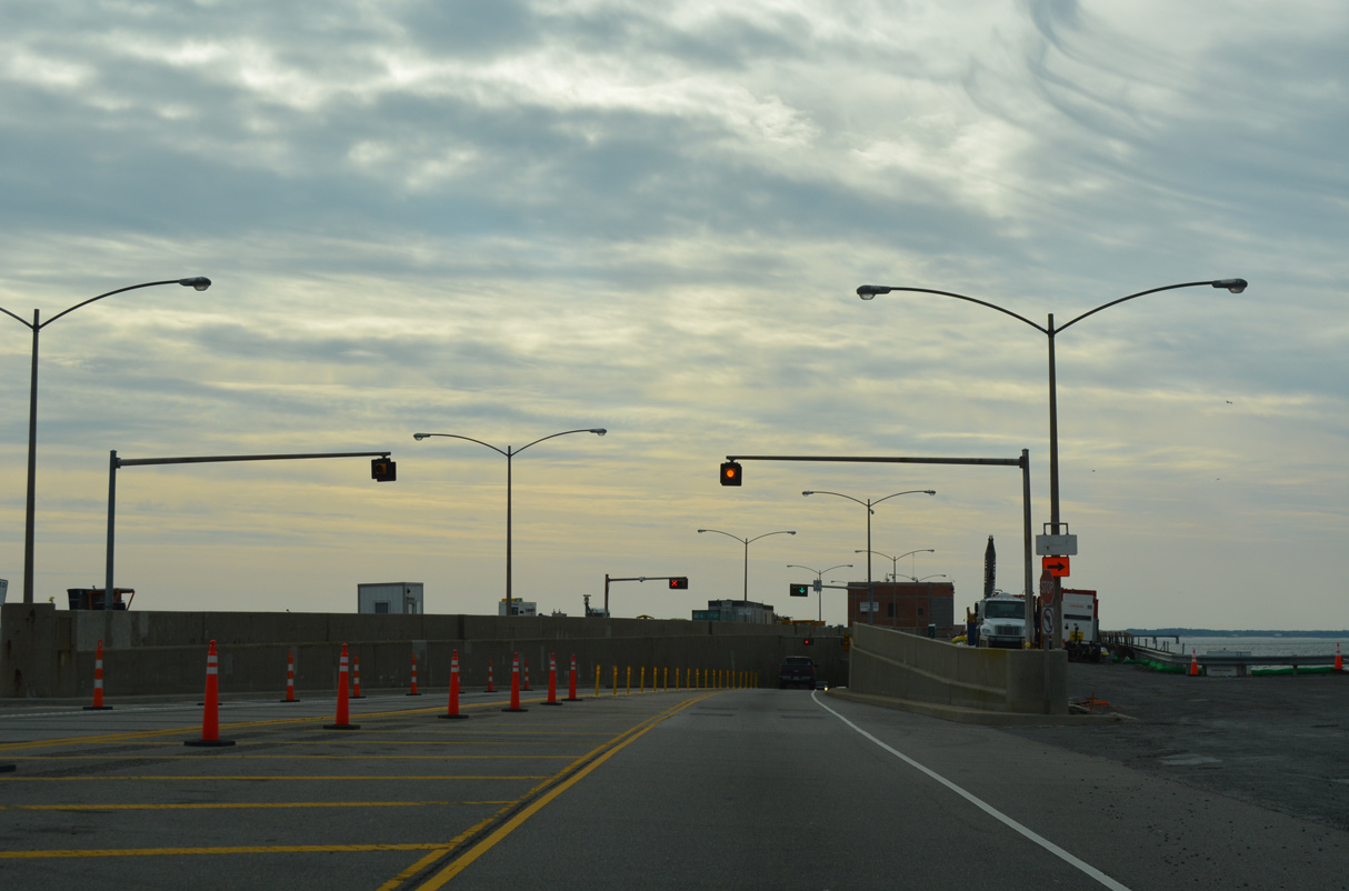
U.S. 13 reduces to a single southbound lane again leading to North Thimble Island.
12/30/17
12/30/17
12/30/17
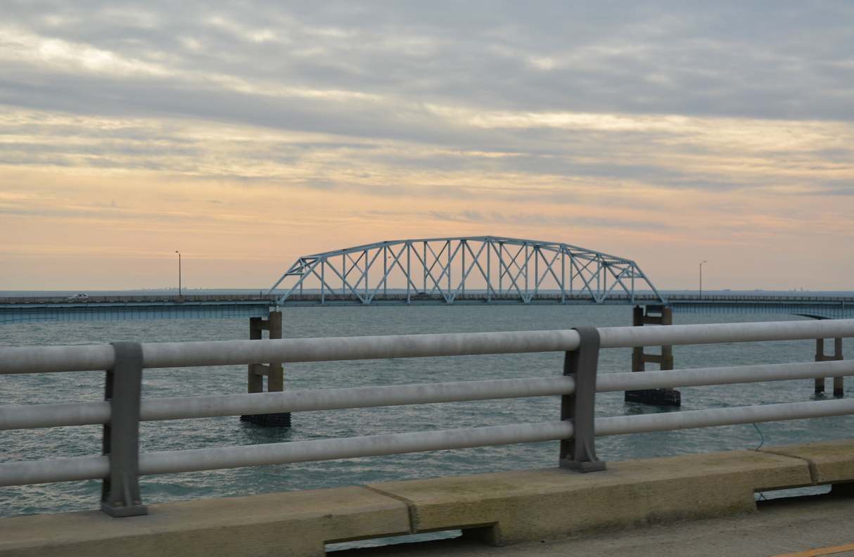
Sea Gulf Fishing Pier comes into view in the distance from South Thimble Island.
12/30/17
12/30/17
12/30/17
12/30/17
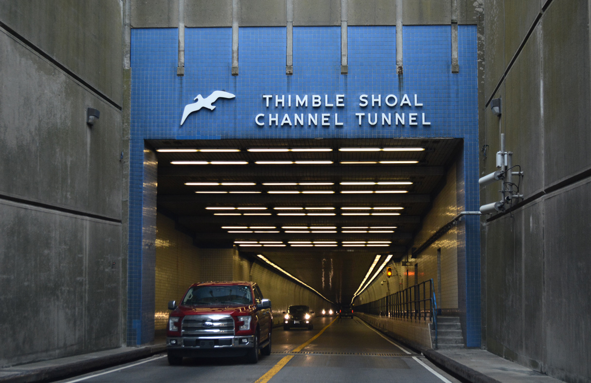
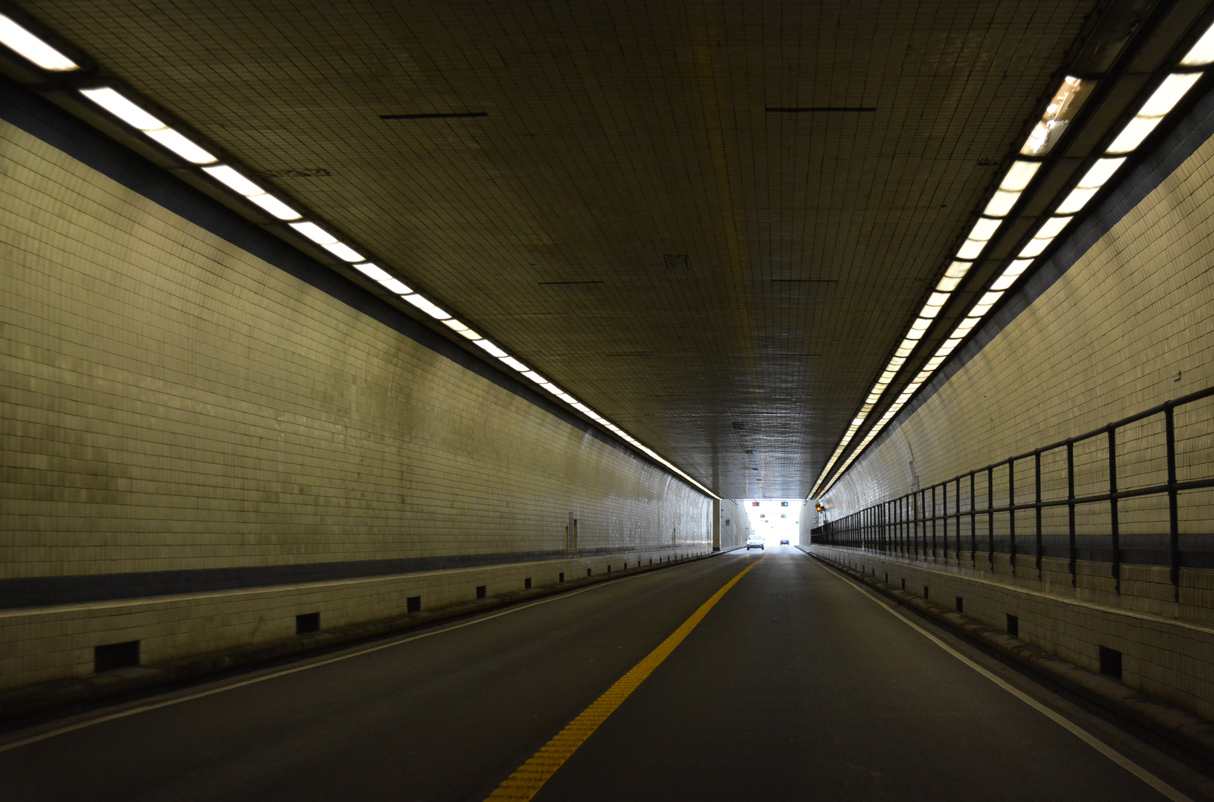
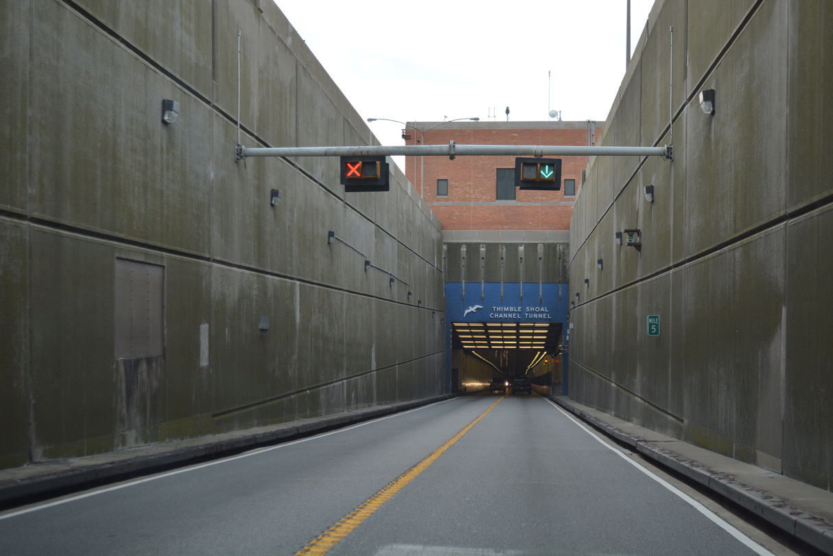
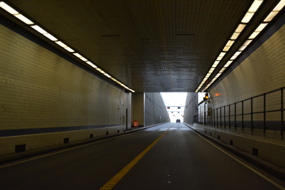
Thimble Shoal Channel is a 5,552 foot in length between portals.
12/30/17
12/30/17
12/30/17
12/30/17
12/30/17
South Thimble Island was formerly the location of Sea Gull Restaurant and rest areas along both sides of U.S. 13.
12/30/17
12/30/17
The CBBT bridges diverge south of South Thimble Island.
12/30/17
12/30/17
12/30/17
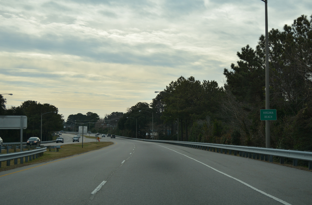
U.S. 13 advances south to Chesapeake Beach in the city of Virginia Beach.
12/30/17
12/30/17
12/30/17
The south end of the CBBT spans Lookout Road and Chesapeake Beach Park ahead of the Powells Point community in Virginia Beach.
12/30/17
12/30/17
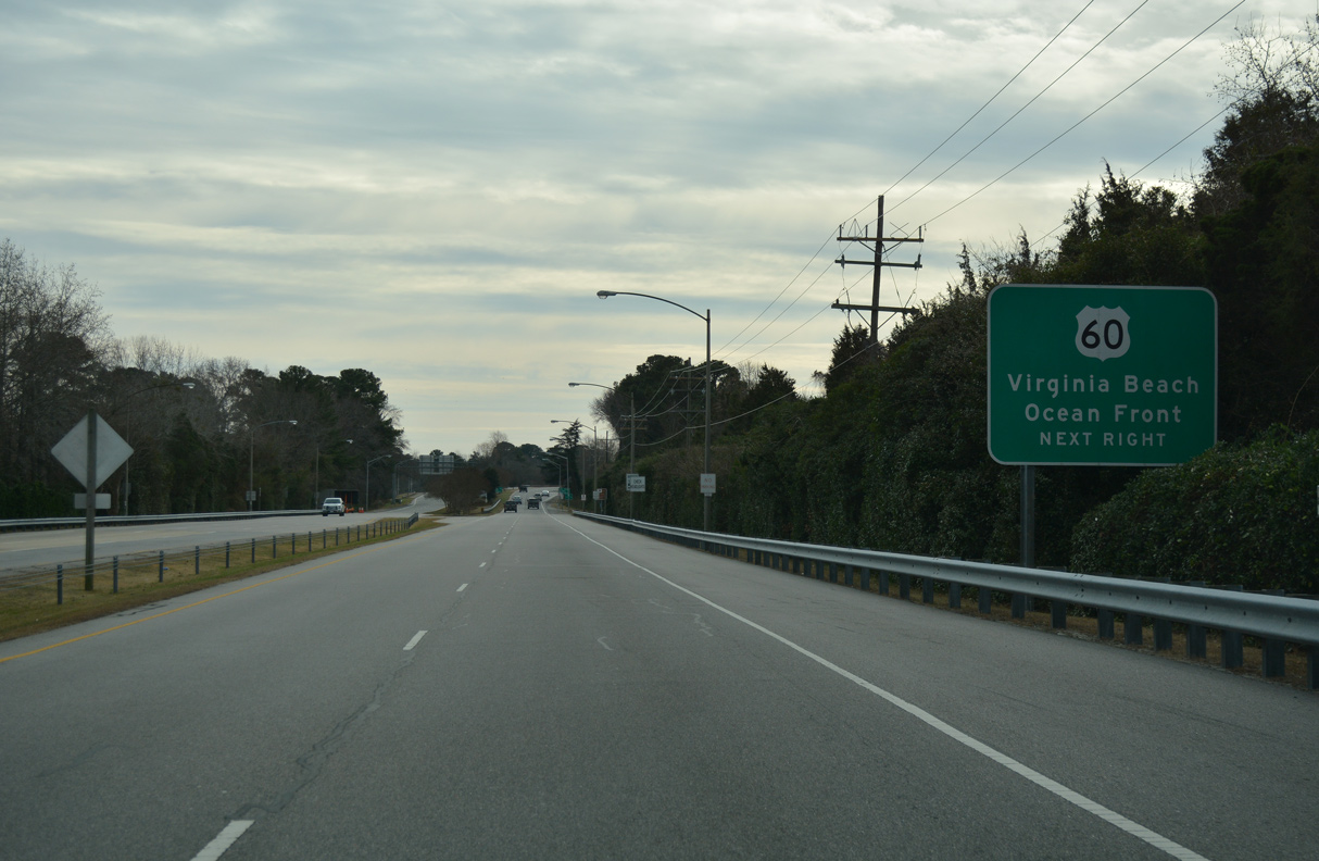
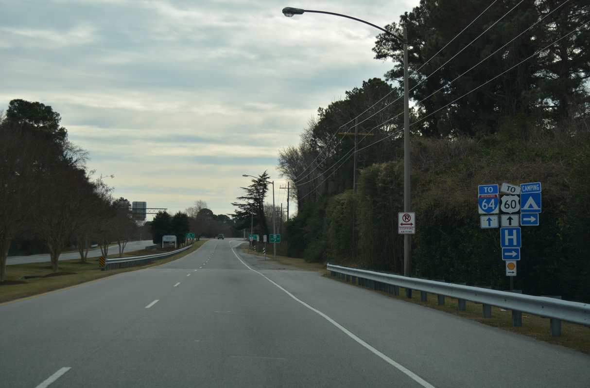
U.S. 13 shifts eastward by Lake Joyce to a diamond interchange with U.S. 60 (Shore Drive) between Bayside and the Bayville Park neighborhood.
12/30/17
12/30/17
12/30/17
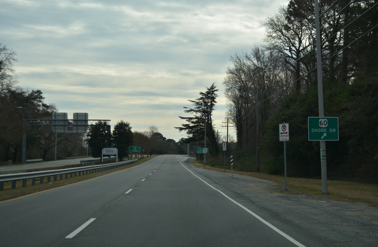
U.S. 60 runs along the south shore of Chesapeake Bay from Ocean View west to Willoughby Spit and east from Ocean Park to Fort Story.
12/30/17
12/30/17
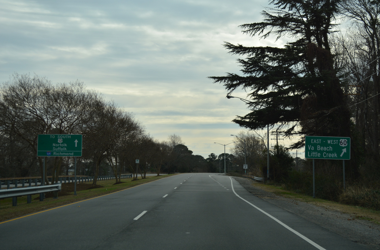
The east end of U.S. 60 is located south of the Virginia Beach Oceanfront at Rudee Island. U.S. 60 (Shore Drive) heads west to Joint Expeditionary Base (JEB) Little Creek - Fort Story and Little Creek.
12/30/17
12/30/17
References:
- Kozel, Scott.
- Froehlig, Adam
Photo Credits:
- ABRoads: 12/30/17
Connect with:
Page Updated Monday April 19, 2021.