
U.S. 17 North - I-95 to Jacksonboro

 North
North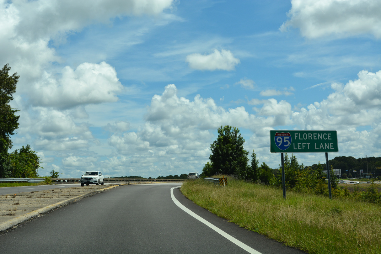
Old U.S. 17 (Road 424) ties into the trumpet interchange where U.S. 17 splits with I-95 north from the west side Frontage Road.
08/14/21
08/14/21
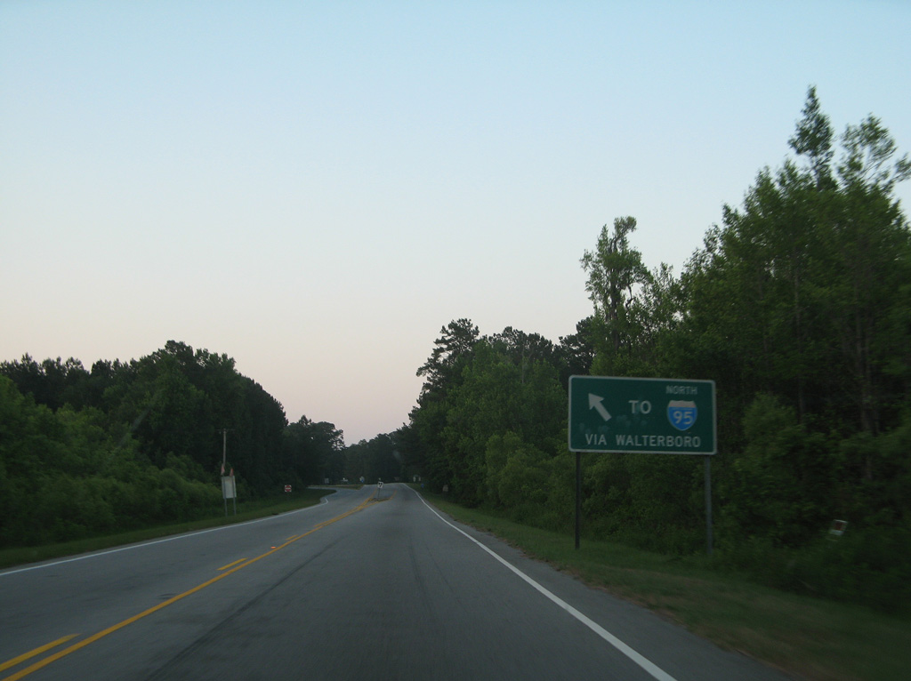
U.S. 17 branches east from the exchange with I-95 at Exit 33 along Kings Highway.
08/14/21
08/14/21
05/29/07
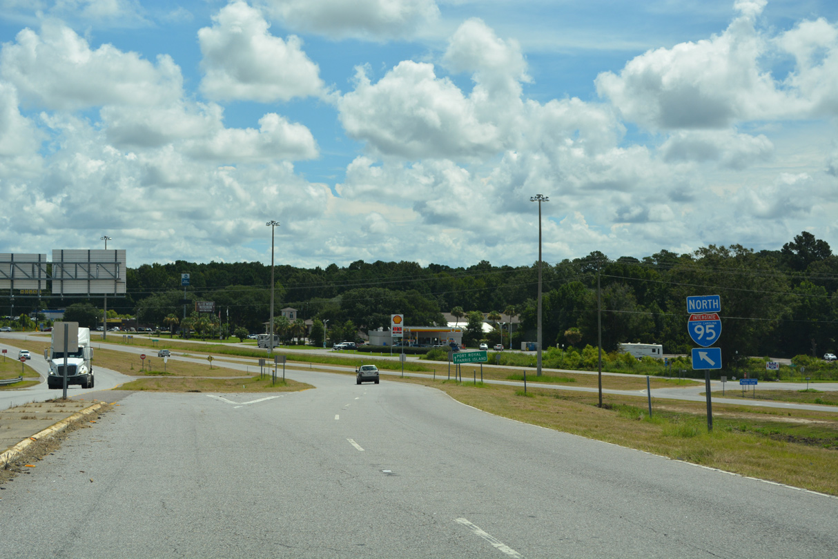
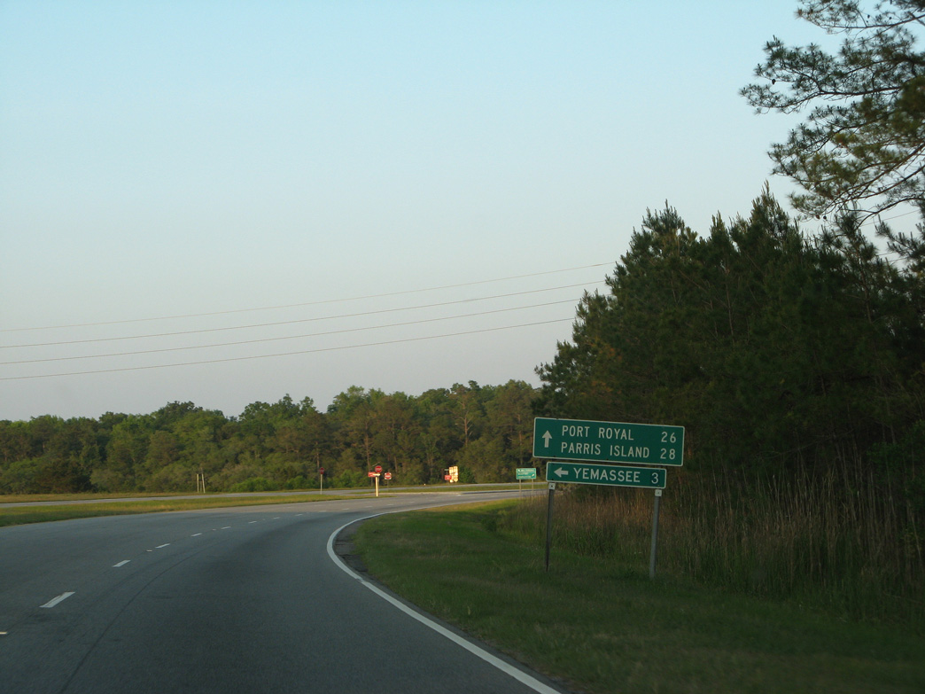
Yemassee Road (Road 276) links U.S. 17 with Point South Drive (Road 427) south along Interstate 95.
05/29/07
05/29/07
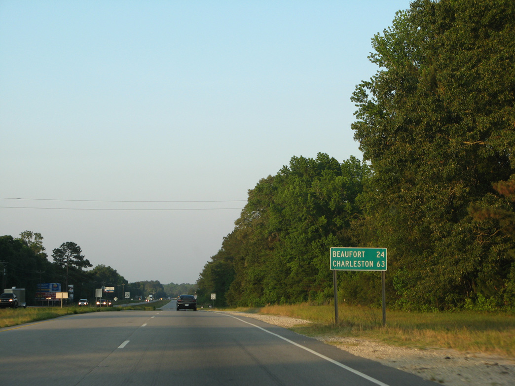
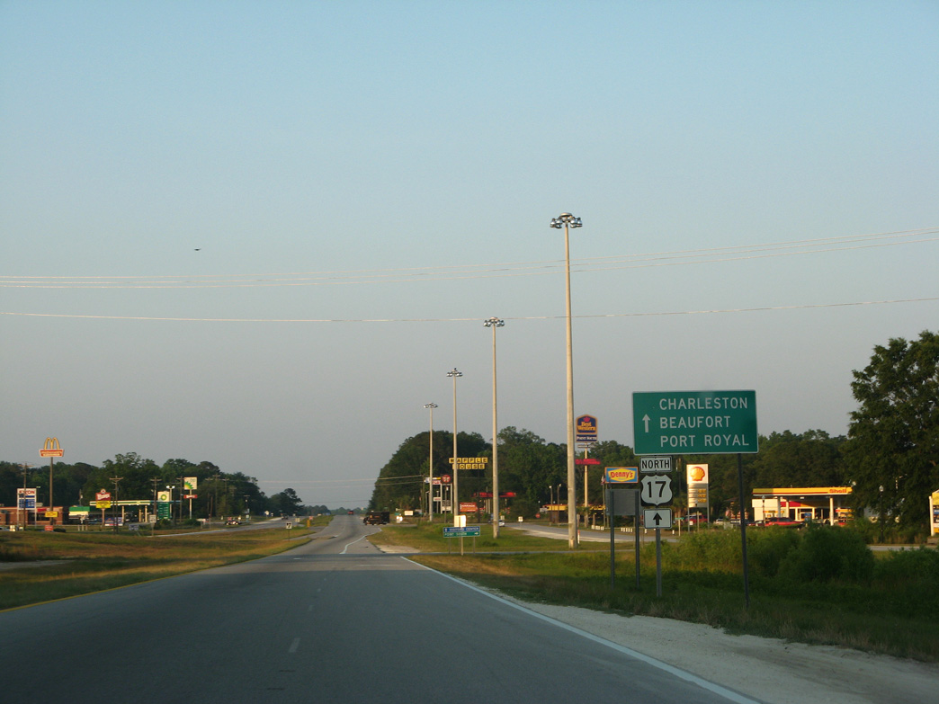
Distance sign posted beyond Low Country Lane for the Beaufort County seat and Charleston.
05/29/07
05/29/07
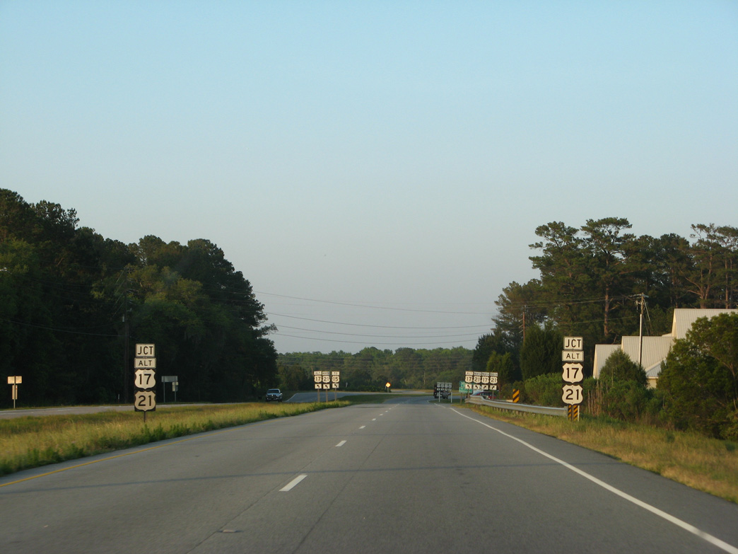
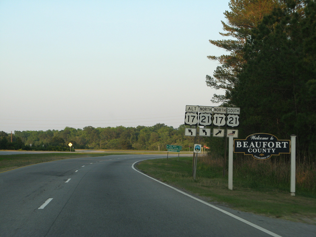
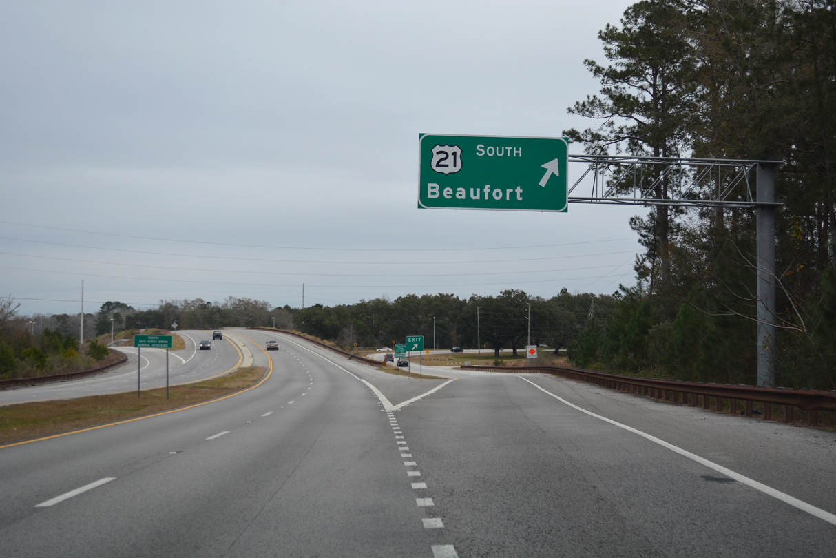
U.S. 17 ALT commences northbound alongside U.S. 21 (Castle Hall Road) to Yemassee.
05/29/07
05/29/07
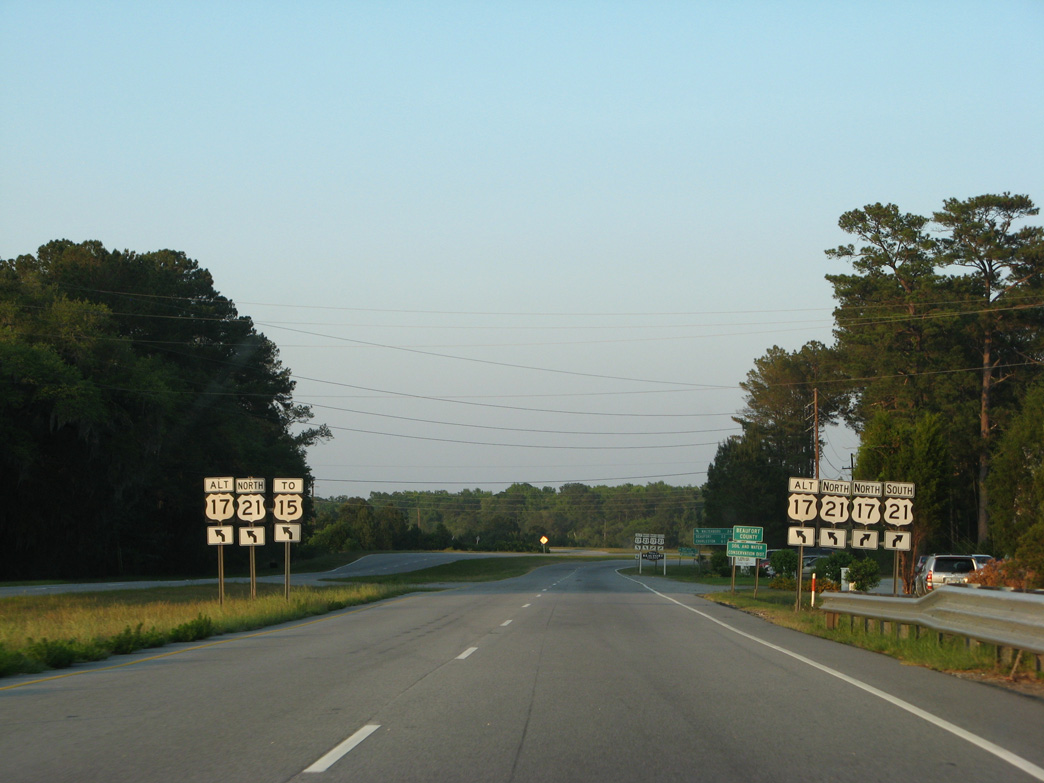
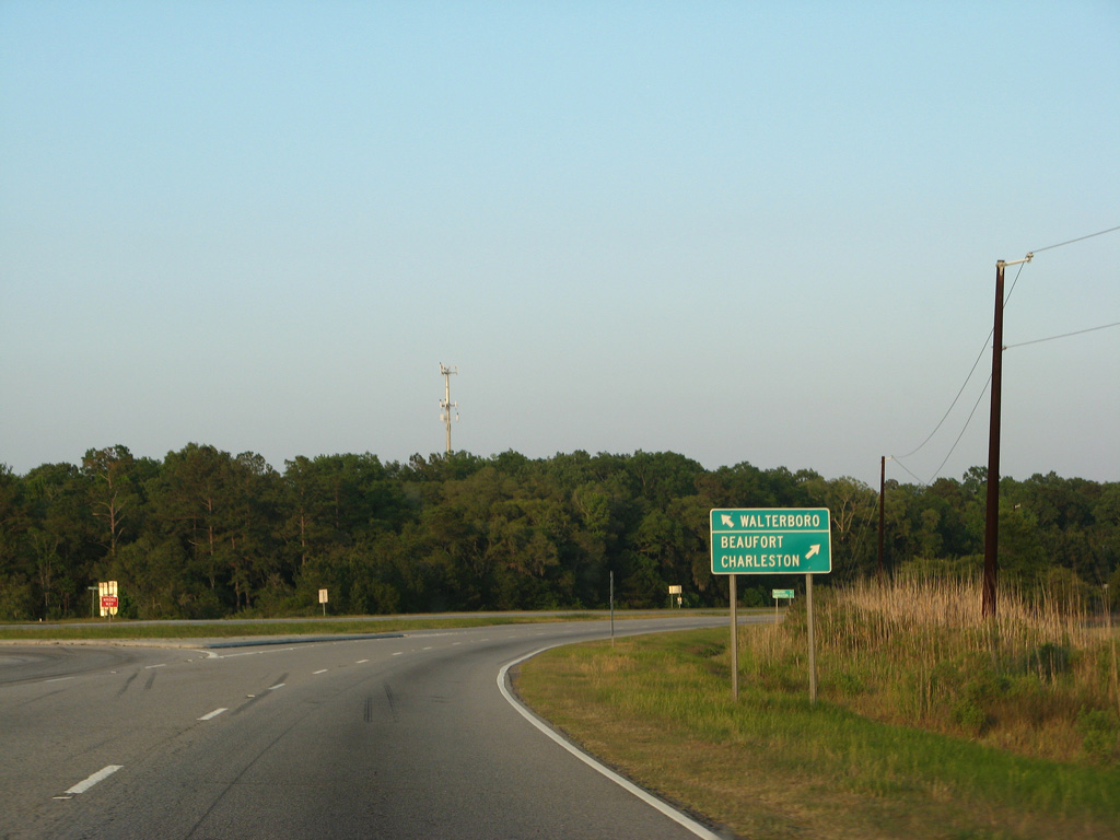
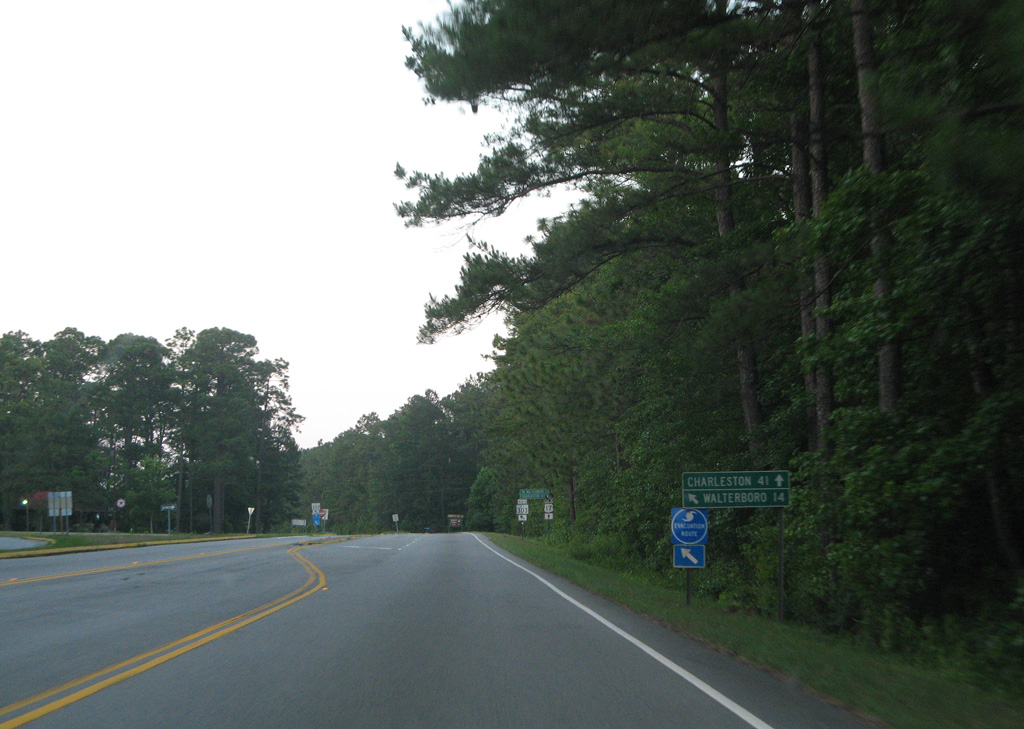
U.S. 17 ALT parallels I-95 to the east en route to Walterboro, where U.S. 15 begins.
05/29/07
05/29/07
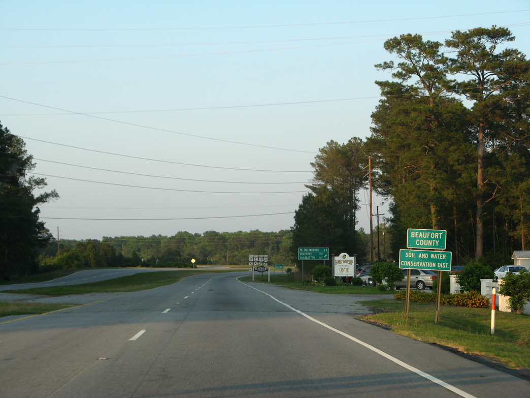
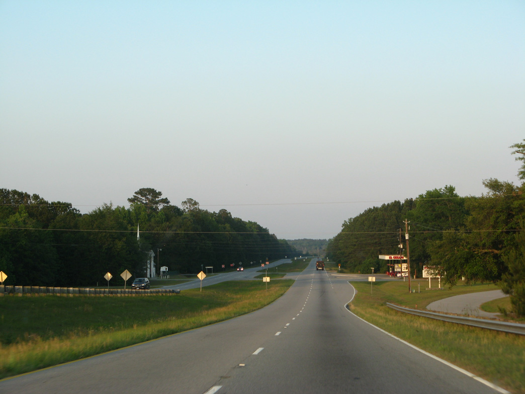
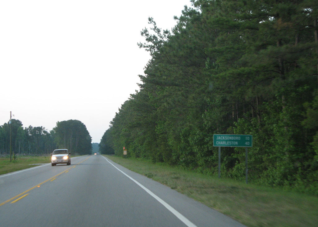
Crossing the Pocotaligo River, U.S. 17 (Kings Highway) enters Beaufort County.
05/29/07
05/29/07

05/29/07
U.S. 17 ALT comprises a 123.40 mile long loop around Charleston from Walterboro northeast to Summerville, Moncks Corner and Georgetown.
05/29/07
05/29/07
05/29/07
05/29/07
North  South
South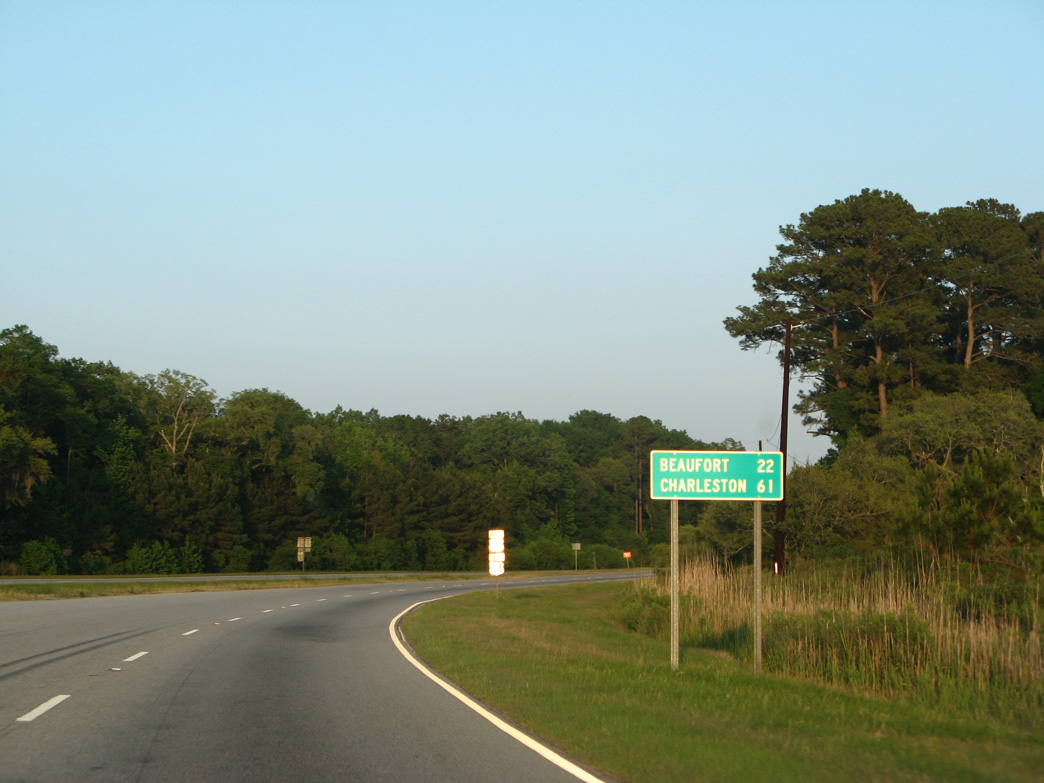
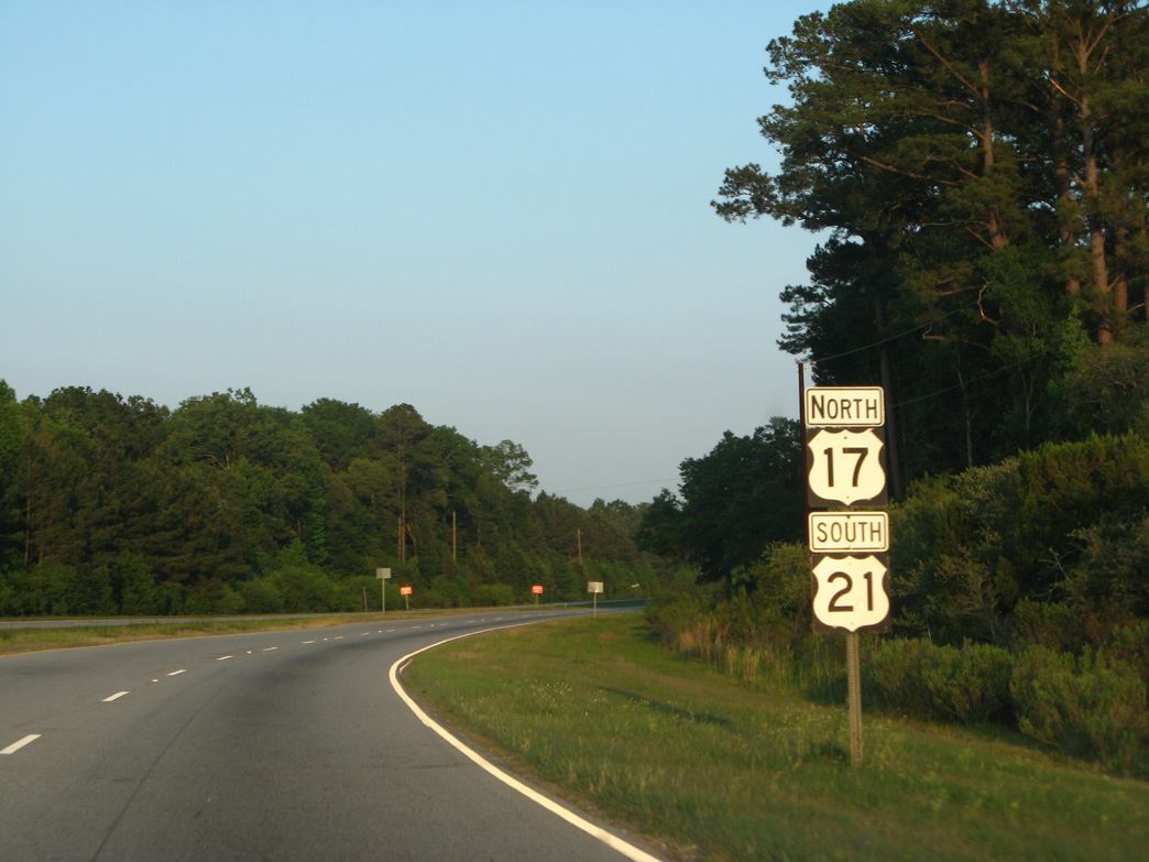
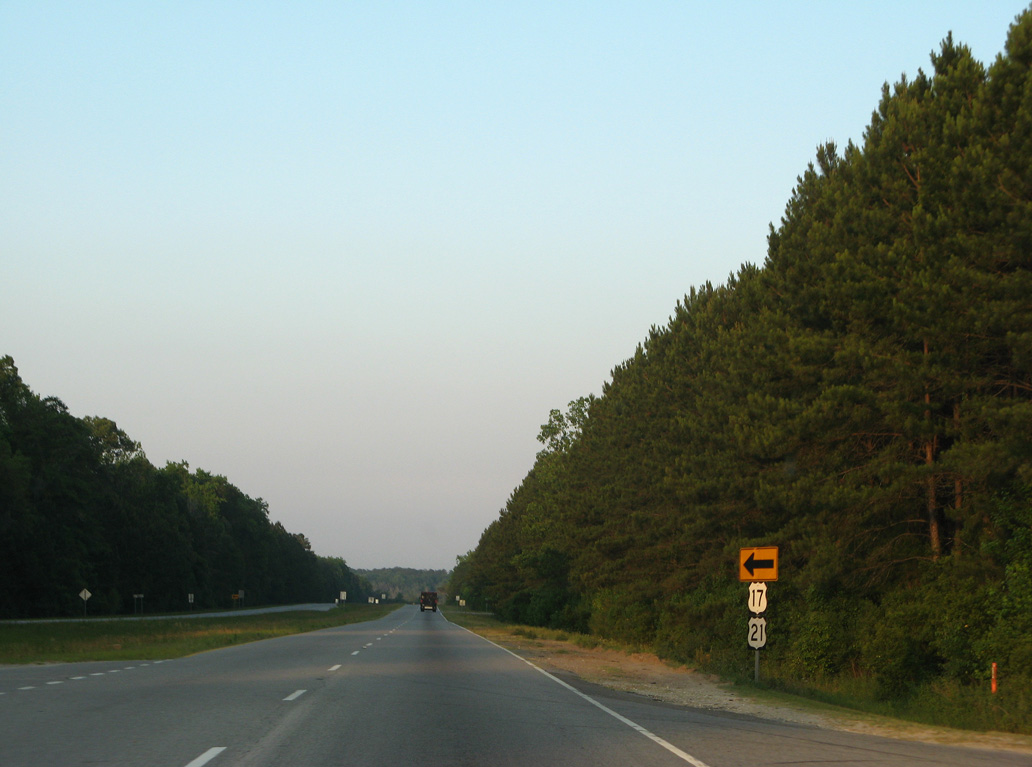
U.S. 21 south combines with northbound U.S. 17 (Trask Parkway) for 6.29 miles.
05/29/07
05/29/07
05/29/07

05/29/07
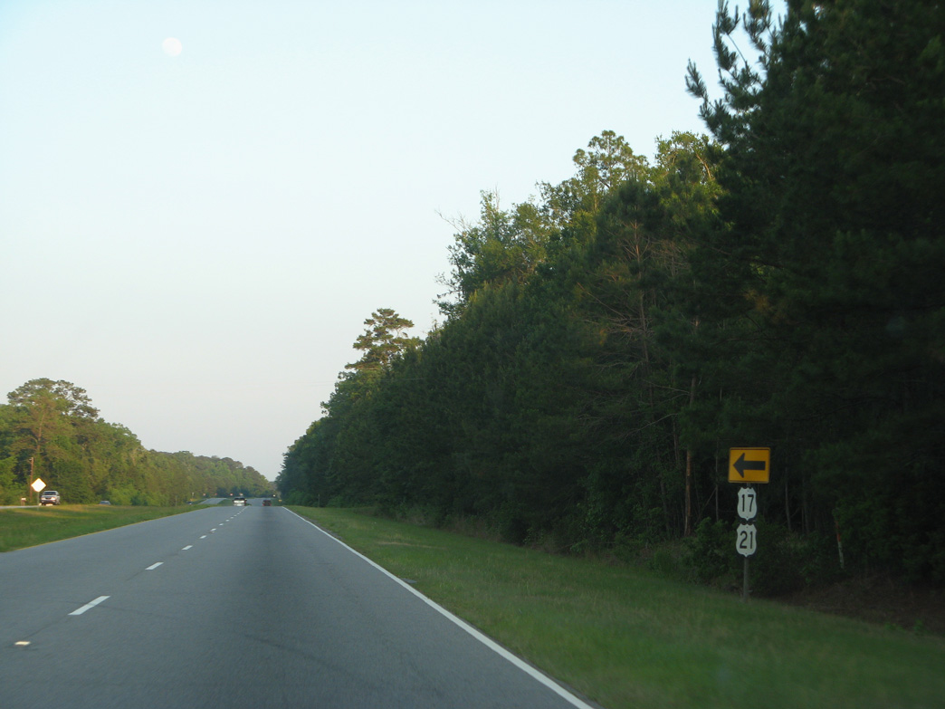
U.S. 17/21 east at Cotton Hall Road (Road 48).
05/29/07
05/29/07
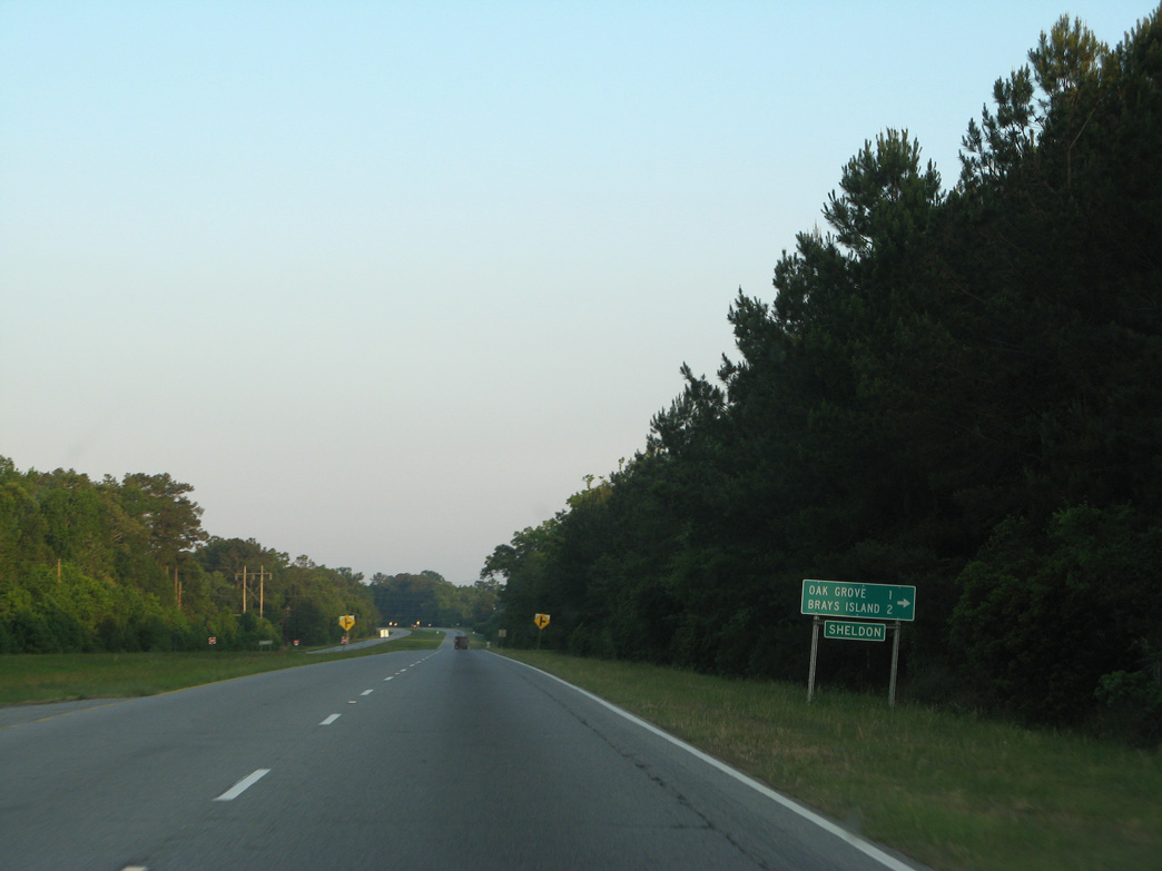
Willliam A. Campbell Road (Road 19) spurs south from U.S. 17/21 at Sheldon onto Scotts Neck.
05/29/07
05/29/07
05/29/07
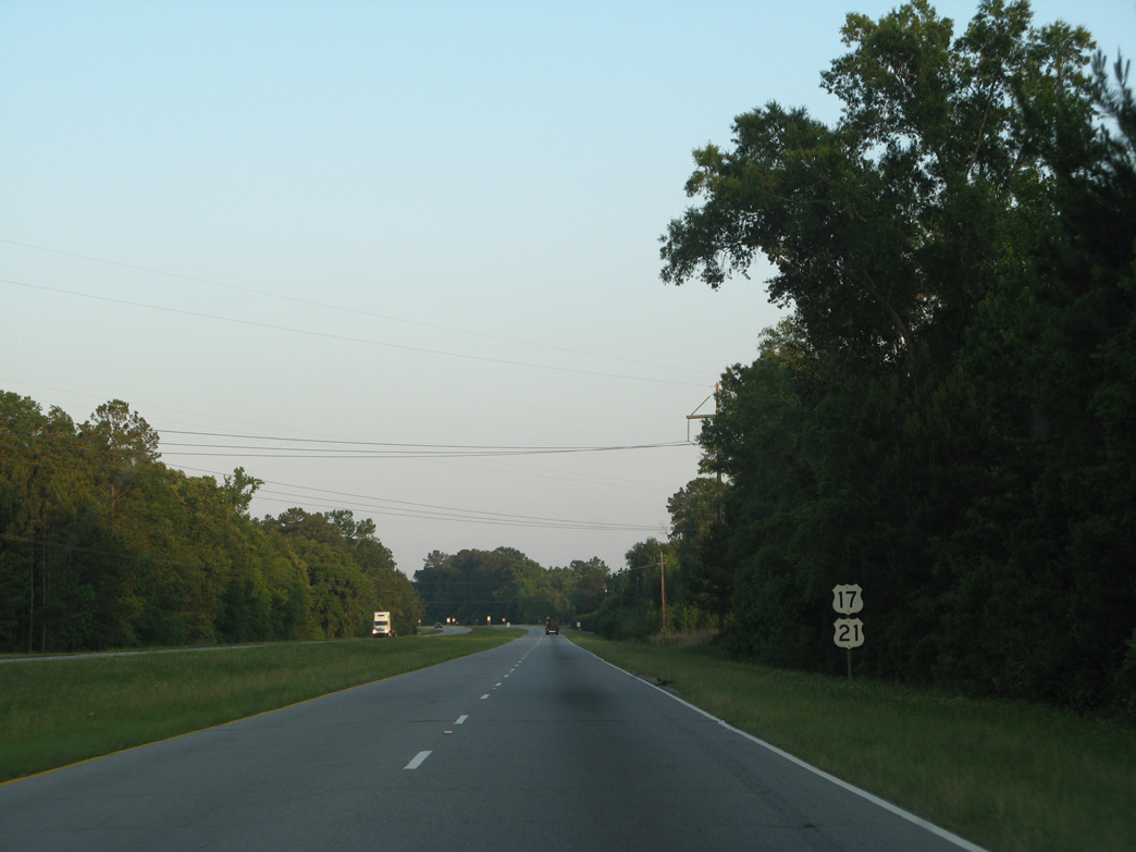
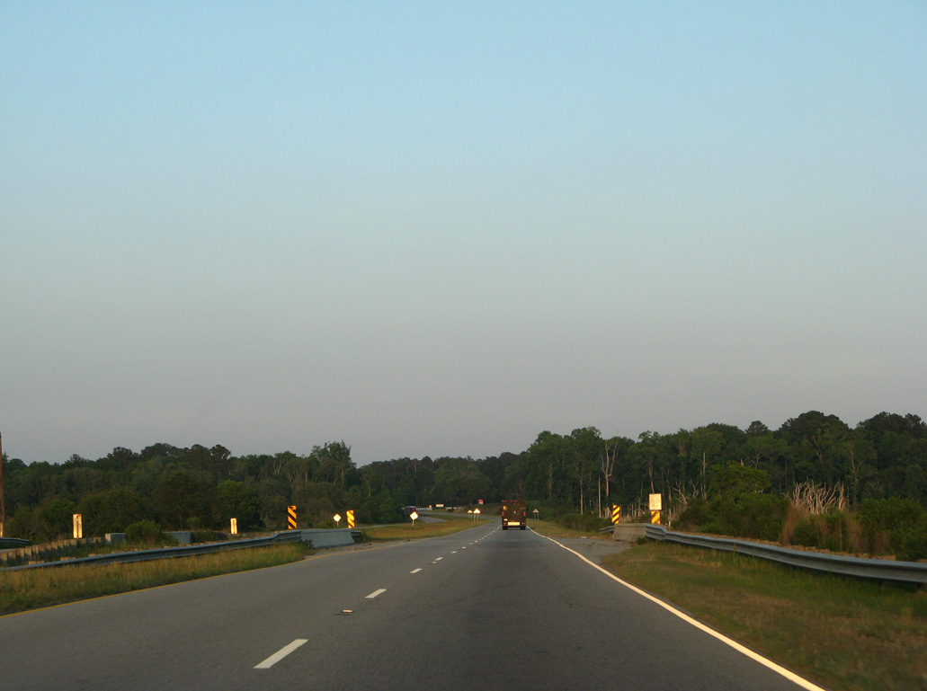
U.S. 17/21 span the abandoned Atlantic Coast Line railroad east of Agnes Major Road (Road 59) at Sheldon.
05/29/07
05/29/07
05/29/07
05/29/07
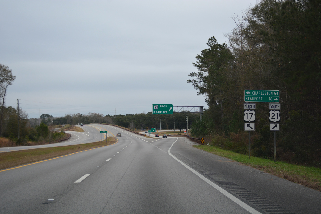
U.S. 17 shifts northeast onto Charleston Highway from Trask Highway, which lines U.S. 21 south to Beaufort.
12/31/17
12/31/17
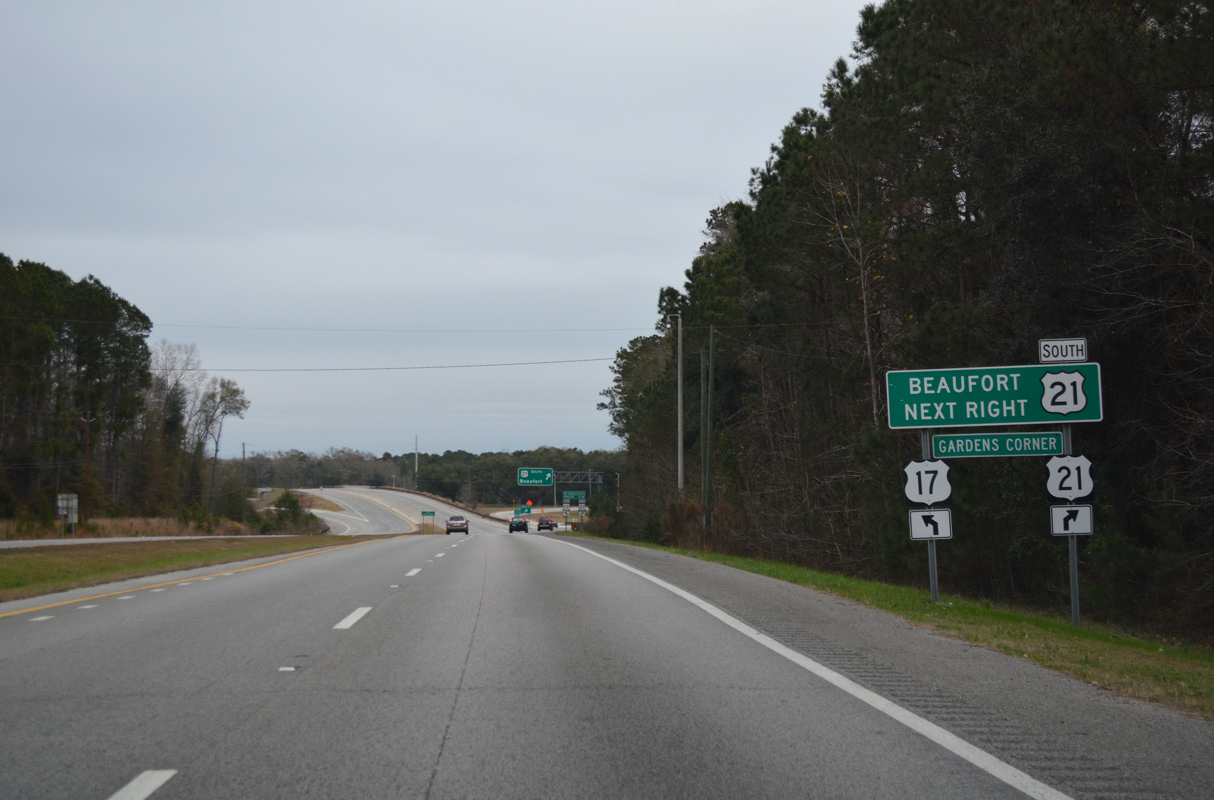
A roundabout interchange was constructed at Gardens Corner by 2012 in place of the at-grade intersection where U.S. 17/21 split.
12/31/17
12/31/17
12/31/17
North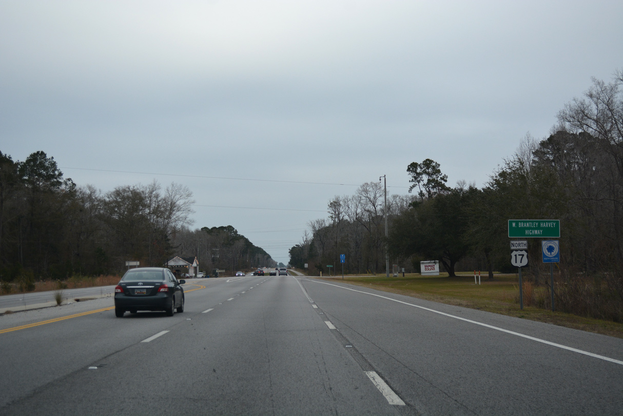
Construction of the exchange at U.S. 21 south coincided with four lane expansion of U.S. 17 (Charleston Highway) to the northeast.
12/31/17
12/31/17
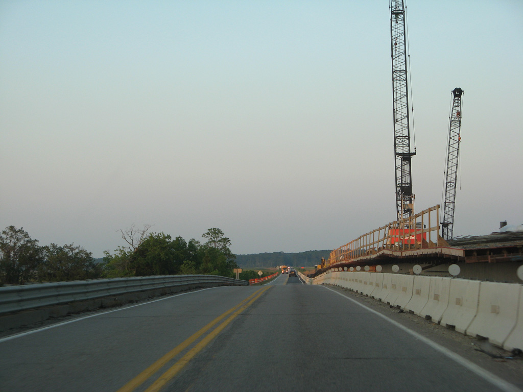
U.S. 17 (Charleston Highway) spans the Combahee River into Colleton County.
05/29/07
05/29/07
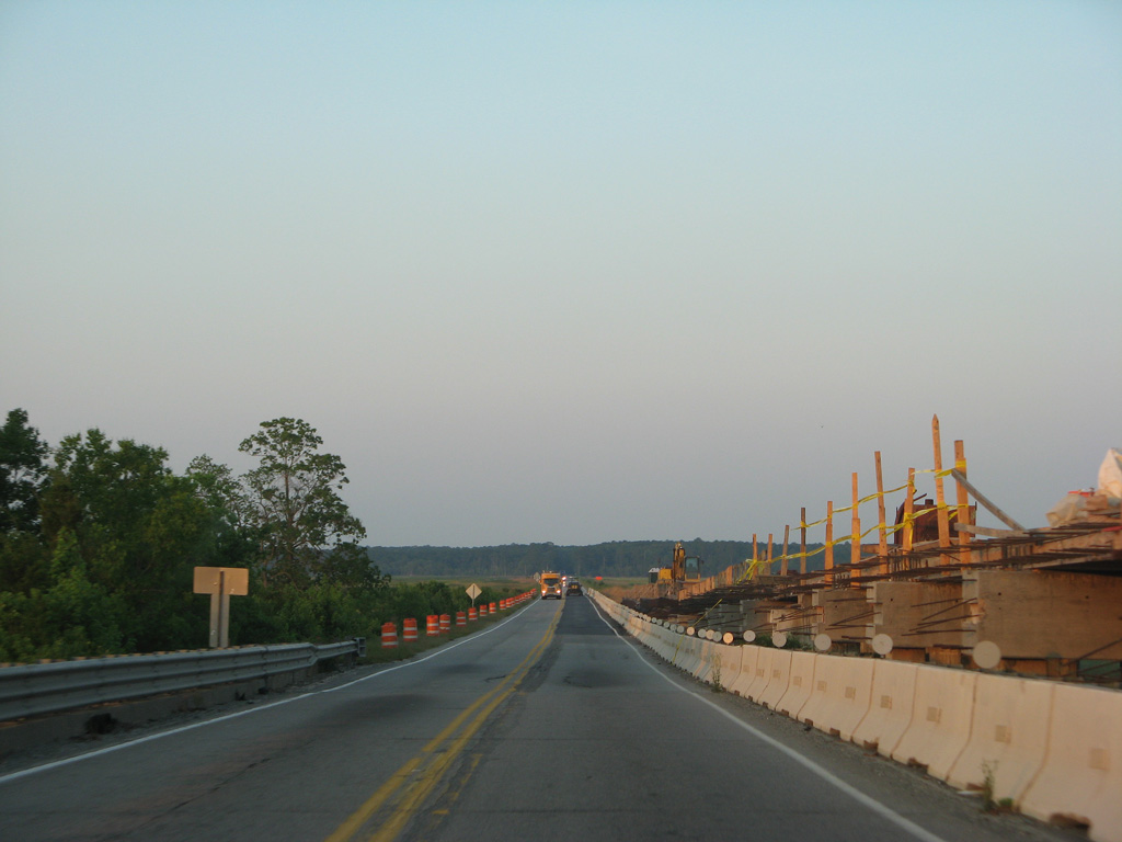
A new four lane bridge was constructed over the Combahee River in 2007.
05/29/07
05/29/07
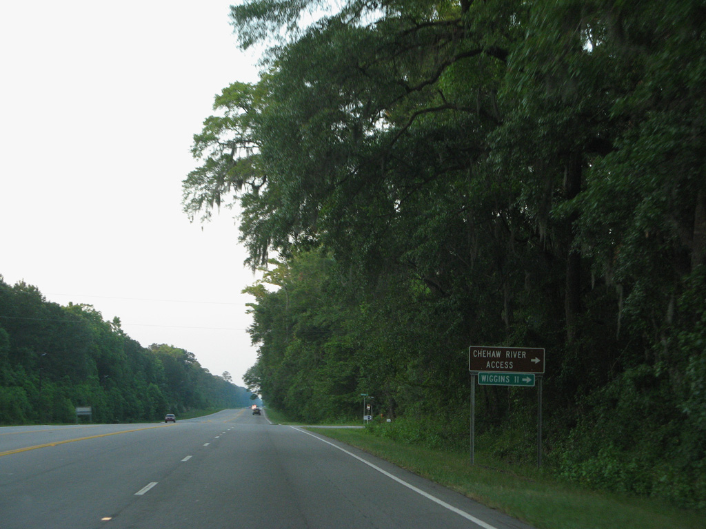
Wiggins Road (Road 162) meanders 6.55 miles southeast from U.S. 17 to Road 161 en route to Wiggins.
05/29/07
05/29/07
05/29/07
05/29/07
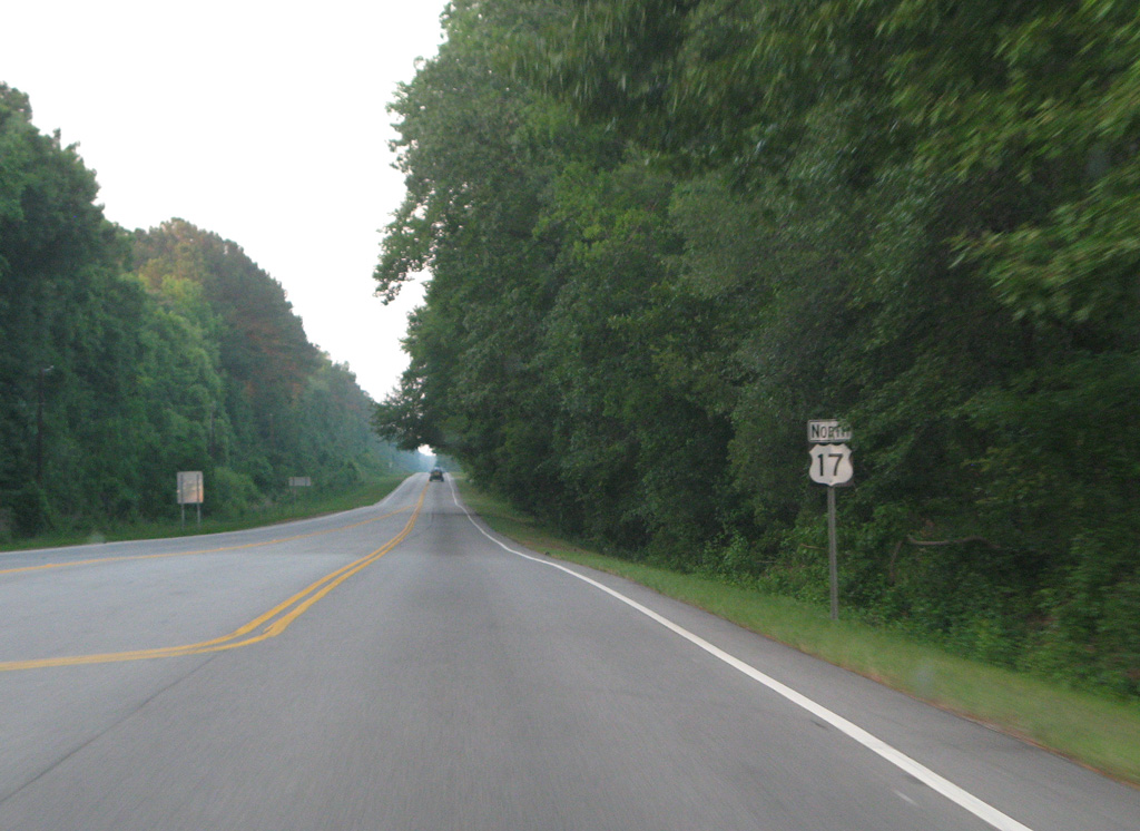
S.C. 303 (Green Pond Highway) branches 13.52 miles north from U.S. 17 to U.S. 17 ALT in Walterboro.
05/29/07
05/29/07
05/29/07
05/29/07
05/29/07
05/29/07
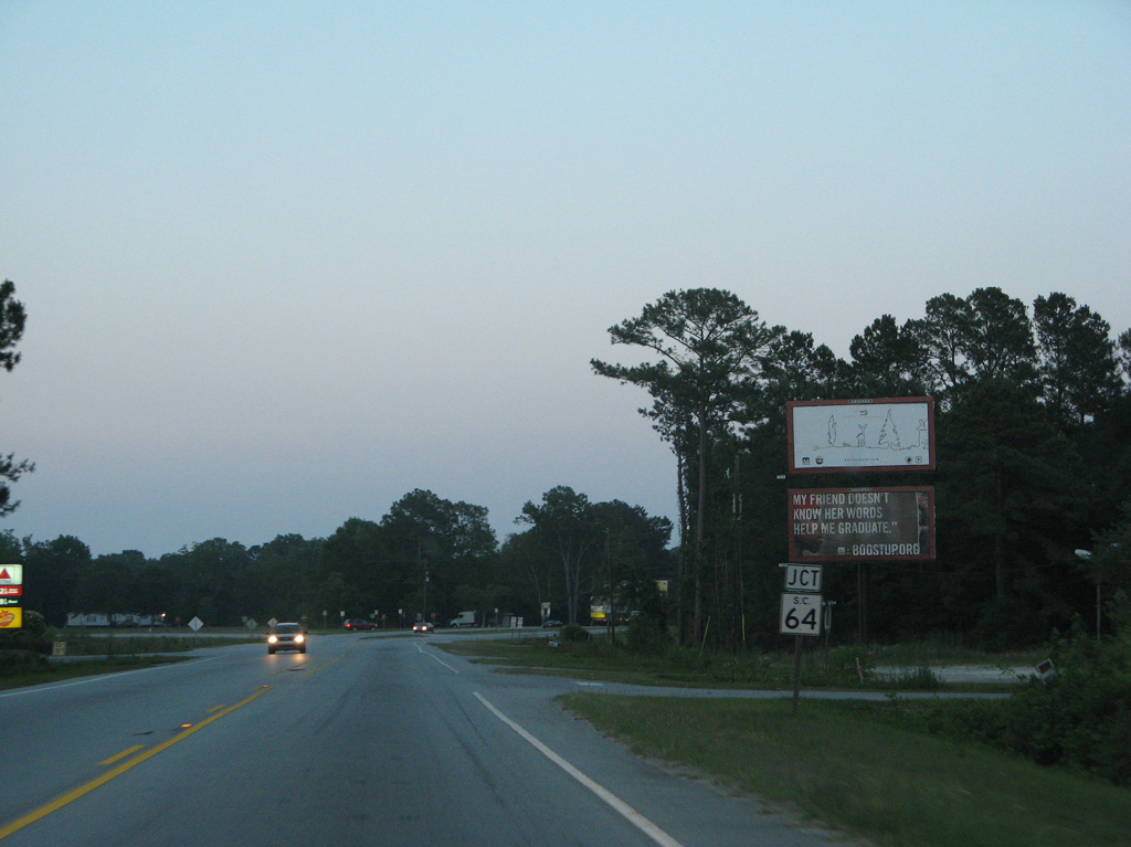
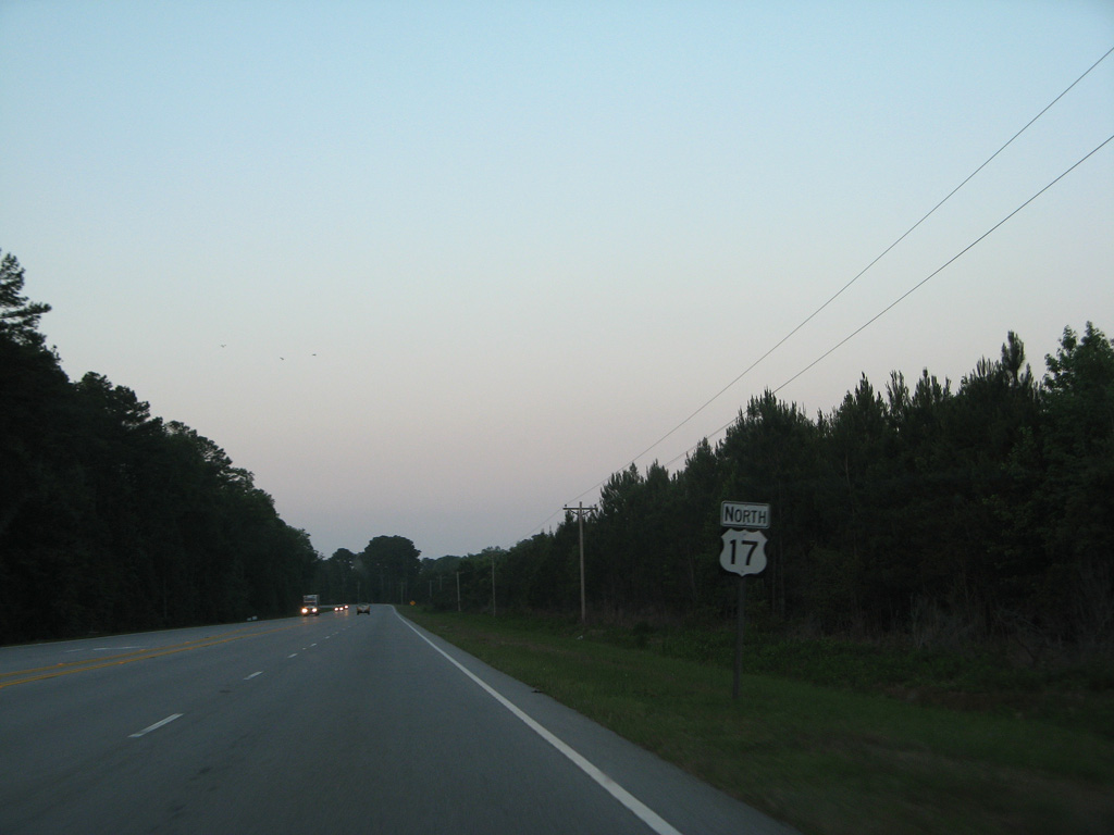
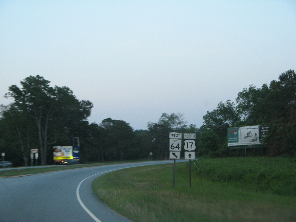
S.C. 64 (Charleston Highway) converges with U.S. 17 (Ace Basin Parkway), 15.33 miles southeast from U.S. 17 ALT in Walterboro.
05/29/07
05/29/07
05/29/07
05/29/07
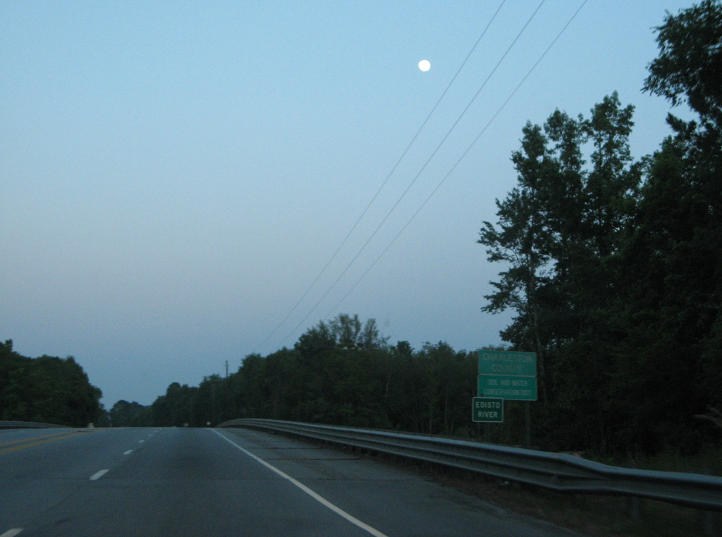
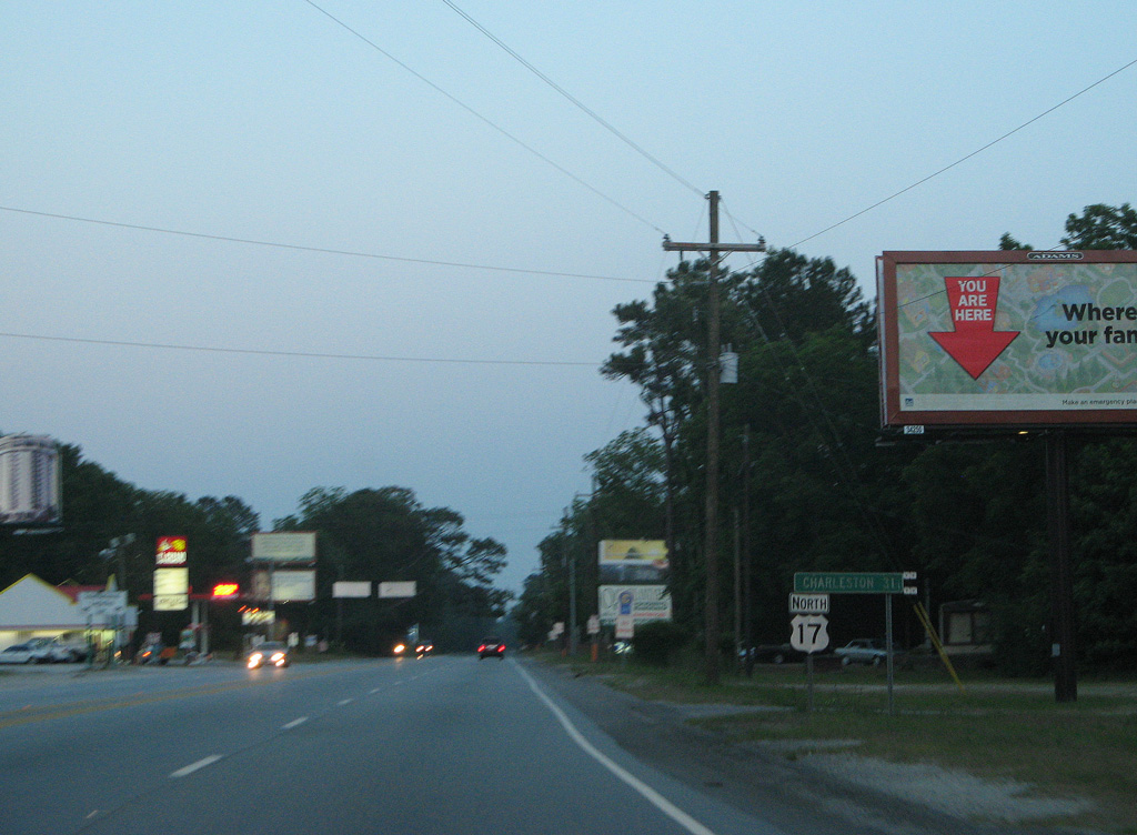
Spanning the Edisto River, U.S. 17 (Ace Basin Parkway) enters western Charleston County.
05/29/07
05/29/07

Photo Credits:
- Alex Nitzman: 12/31/17, 08/14/21
- Andy Field: 05/29/07
Connect with:
Page Updated Friday December 02, 2022.