
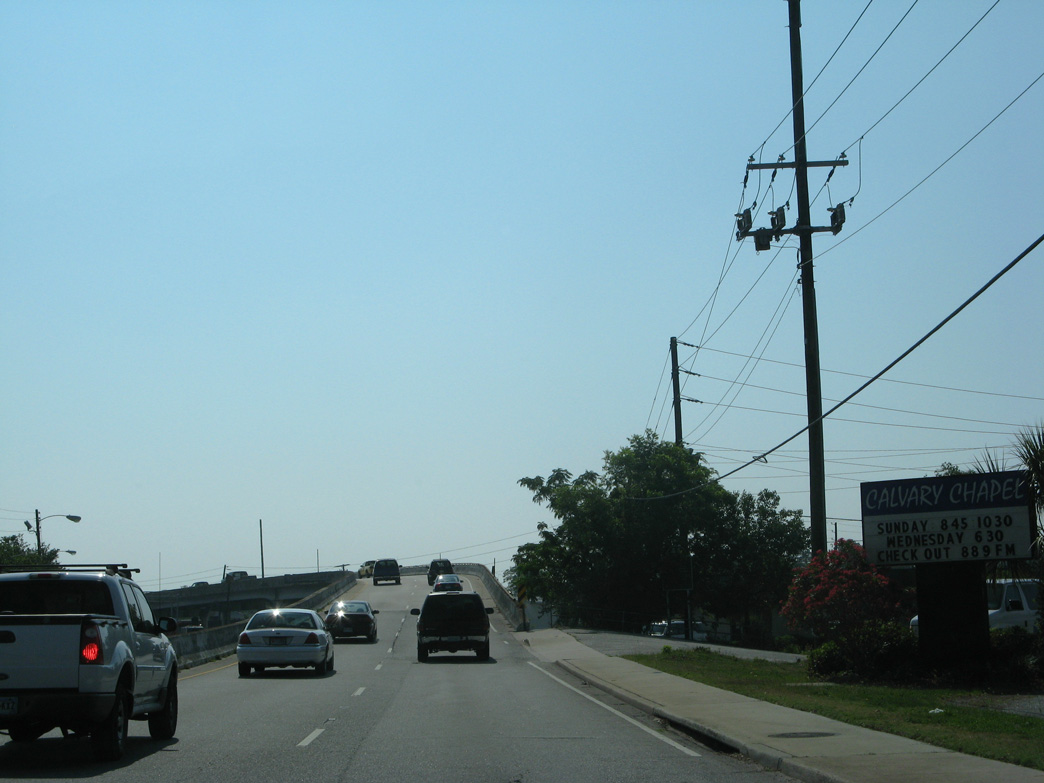
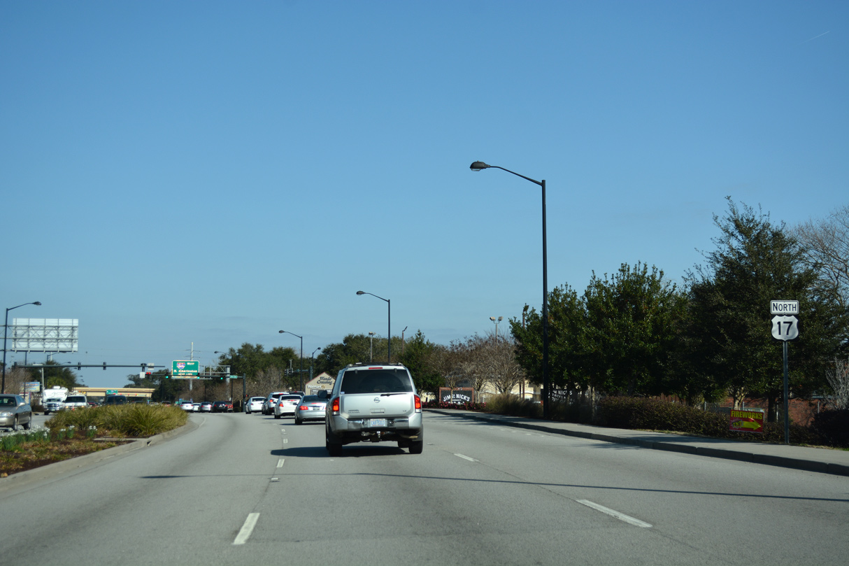
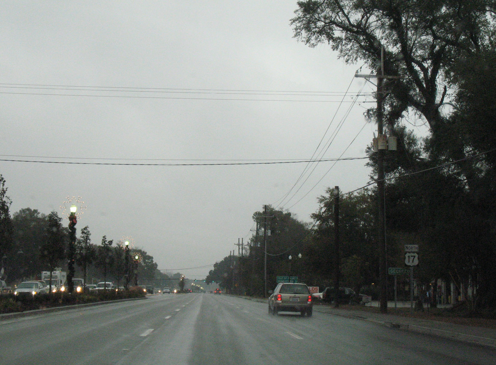
U.S. 17 North - Charleston

 North
North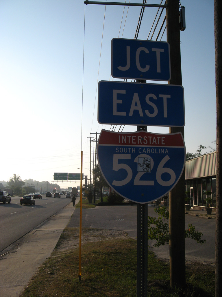
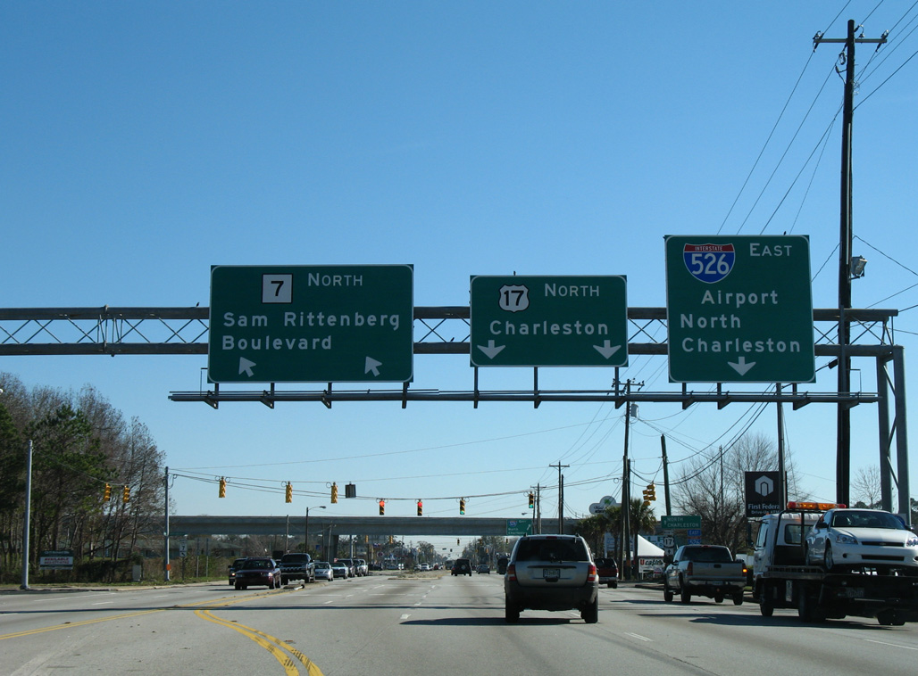
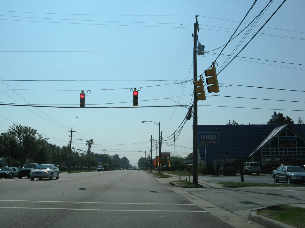
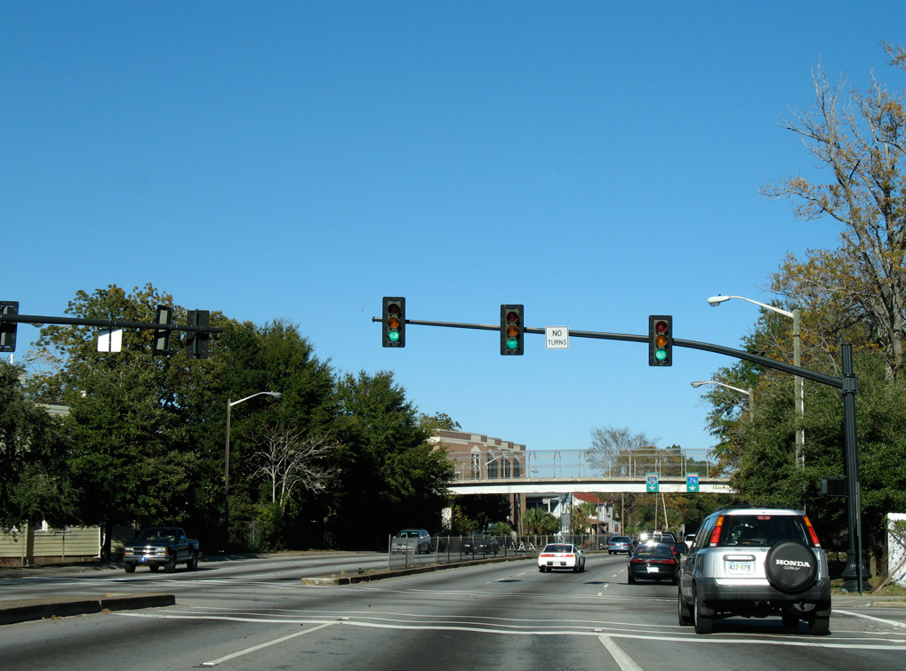
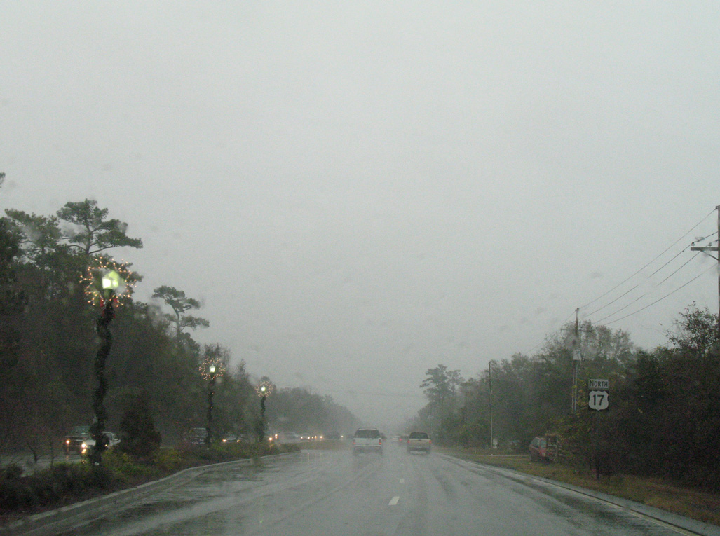
U.S. 17 (Savannah Highway) northbound converges with the south end of S.C. 7 (Sam Rittenburg Boulevard) and west end of I-526 at succeeding intersections.
05/30/07
05/30/07
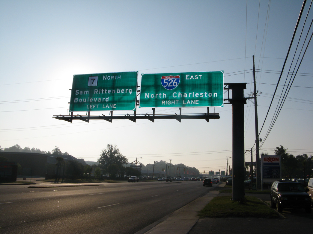
S.C. 7 (Sam Rittenberg Boulevard) angles northeast 5.92 miles from U.S. 17 (Savannah Highway) to U.S. 52/78 (Rivers Avenue) in North Charleston.
05/30/07
05/30/07
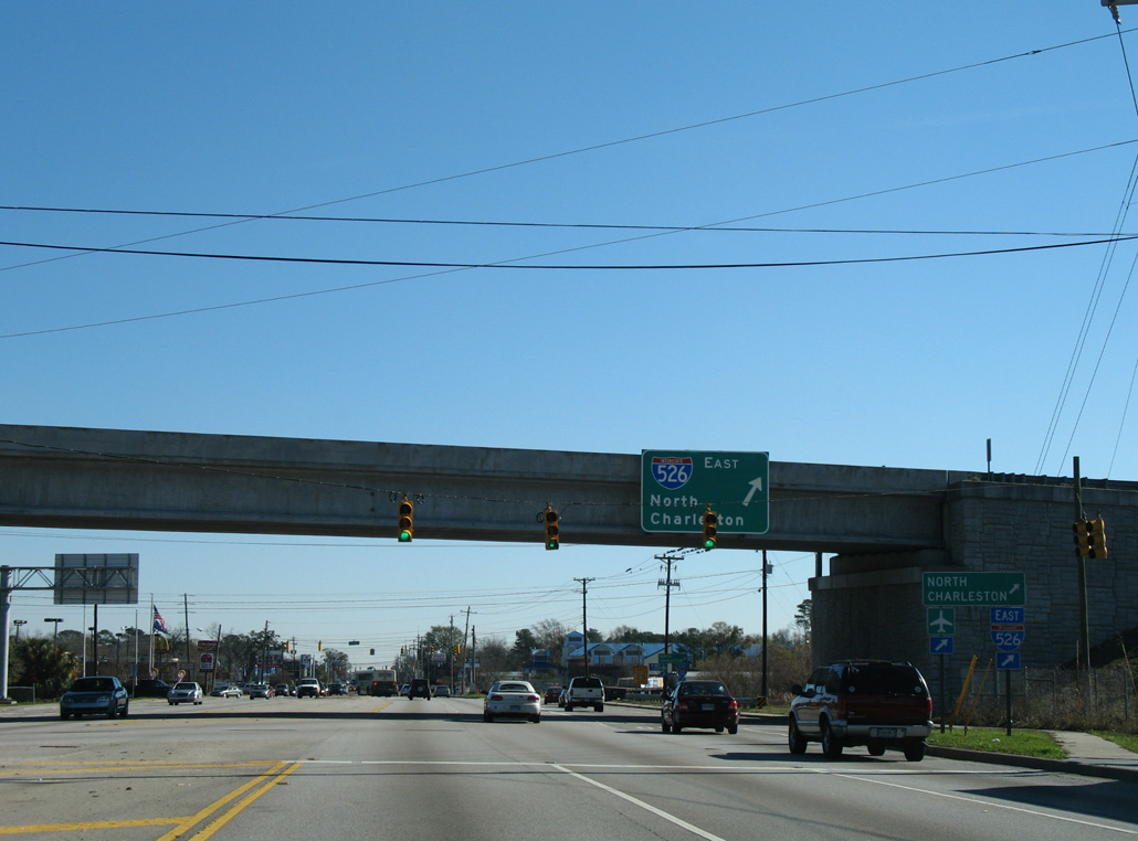
Sam Rittenberg Boulevard is a commercial arterial leading S.C. 7 northeast by Citadel Mall to West Ashley in Charleston. I-526 runs along the west side of the mall northward toward North Charleston and Charleston International Airport (CHS).
12/27/06
12/27/06
A loop ramp joins U.S. 17 north with Interstate 526 east at a partially built interchange. Right of way at the exchange was reserved for the unconstructed extension of I-526 south to the James Island Expressway.
12/27/06
12/27/06
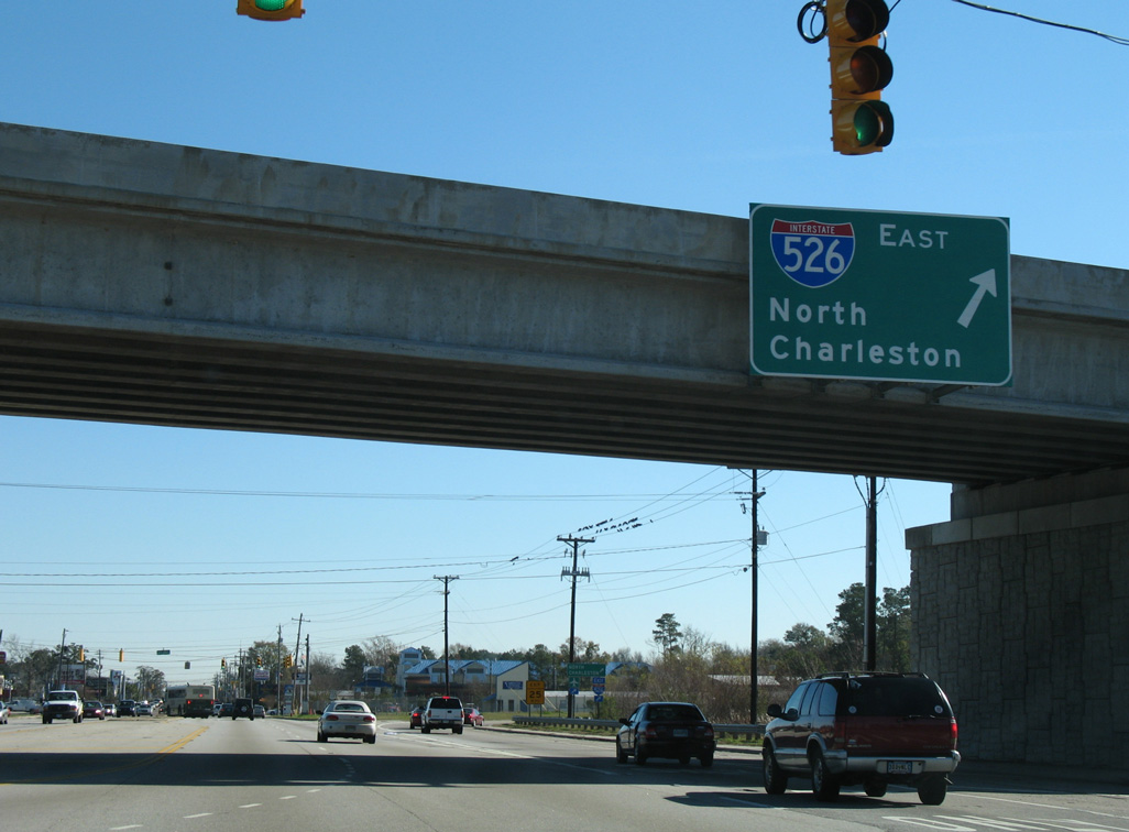
Interstate 526 provides a bypass around Charleston for U.S. 17. The loop returns to U.S. 17 at Mount Pleasant in 29.56 miles.
12/27/06
12/27/06
05/30/07
05/30/07
05/30/07
05/30/07
05/30/07
05/30/07
05/30/07
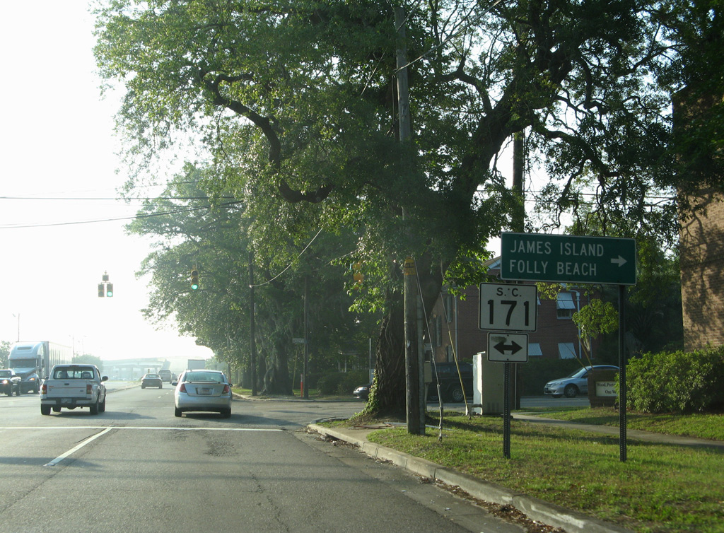
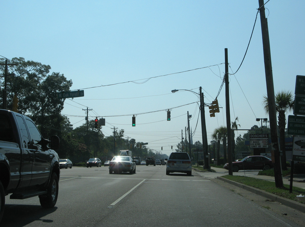
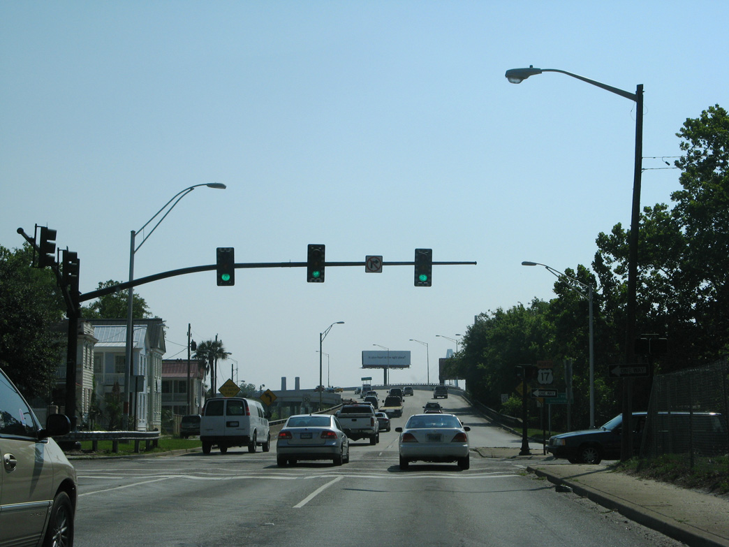
S.C. 171 heads south from S.C. 61 (St. Andrews Boulevard) across U.S. 17 to James Island and Folley Beach.
05/30/07
05/30/07
Northbound U.S. 17 elevates onto a flyover above the wye intersection joining S.C. 700 (Folly Road Boulevard) with Savannah Highway.
05/30/07
05/30/07
U.S. 17 (Savannah Highway) converges with the east end of S.C. 700 below flyovers for S.C. 61.
05/30/07
05/30/07
An access road links U.S. 17 north with a U-turn for the ramp connecting southbound U.S. 17 with S.C. 61 (St. Andrews Boulevard) north.
05/30/07
05/30/07

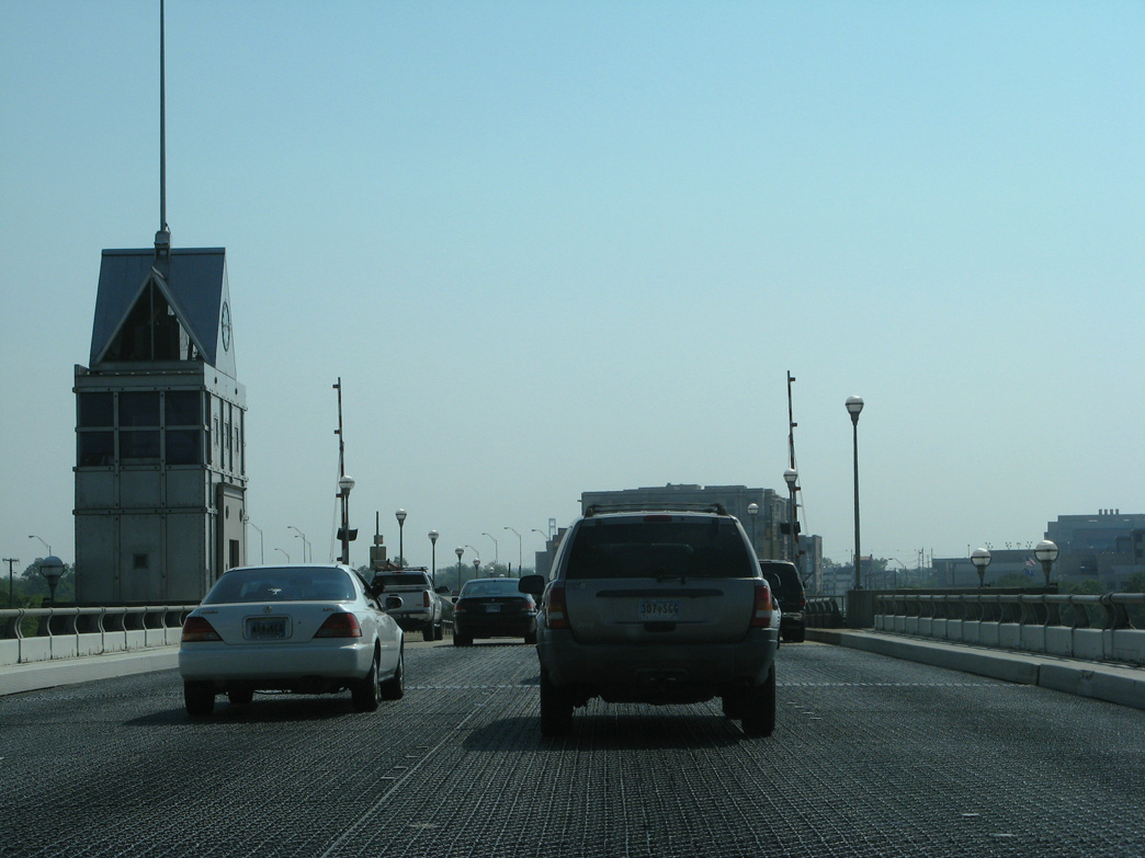
U.S. 17 crosses the Ashley River on a drawbridge built in 1961.
05/30/07
05/30/07
05/30/07
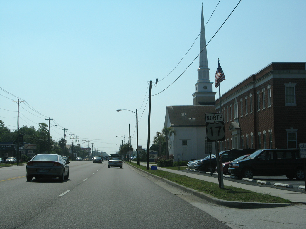
The north end of S.C. 30 ties into U.S. 17 along Lockwood Drive by Downtown Charleston.
05/30/07
05/30/07
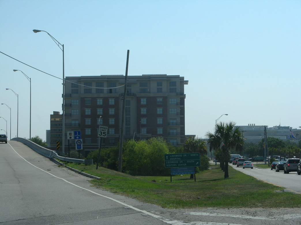
S.C. 30 runs 3.05 miles southwest to S.C. 171 (Folly Road) on James Island.
05/30/07
05/30/07
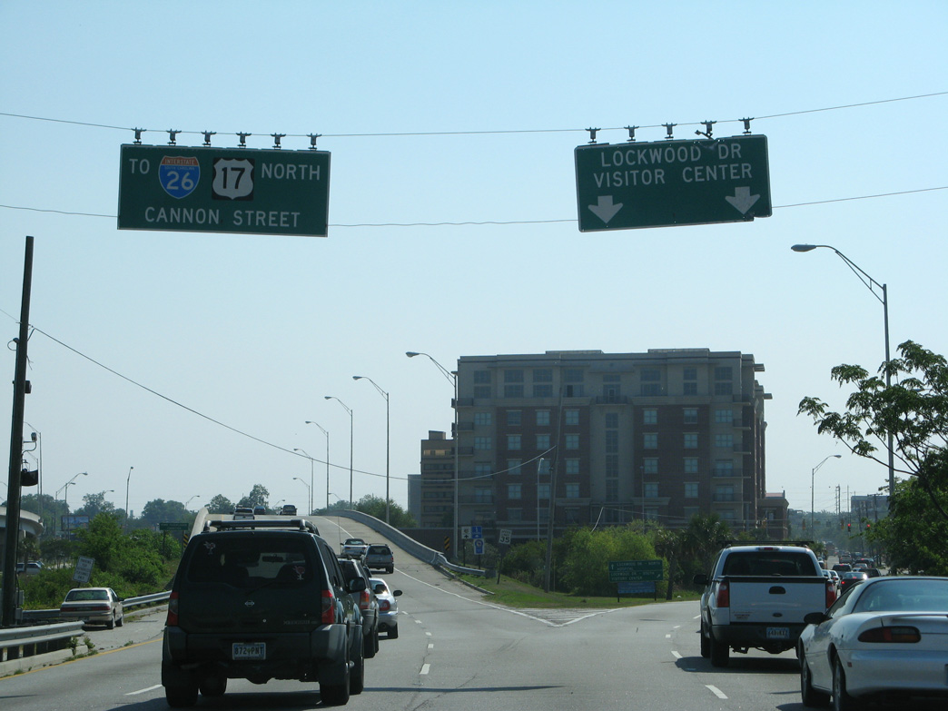
U.S. 17 (Cannon Street) northbound intersects Courtenay Drive just beyond the ramps with S.C. 30 (Lockwood Drive) north of Downtown Charleston.
11/12/06
11/12/06
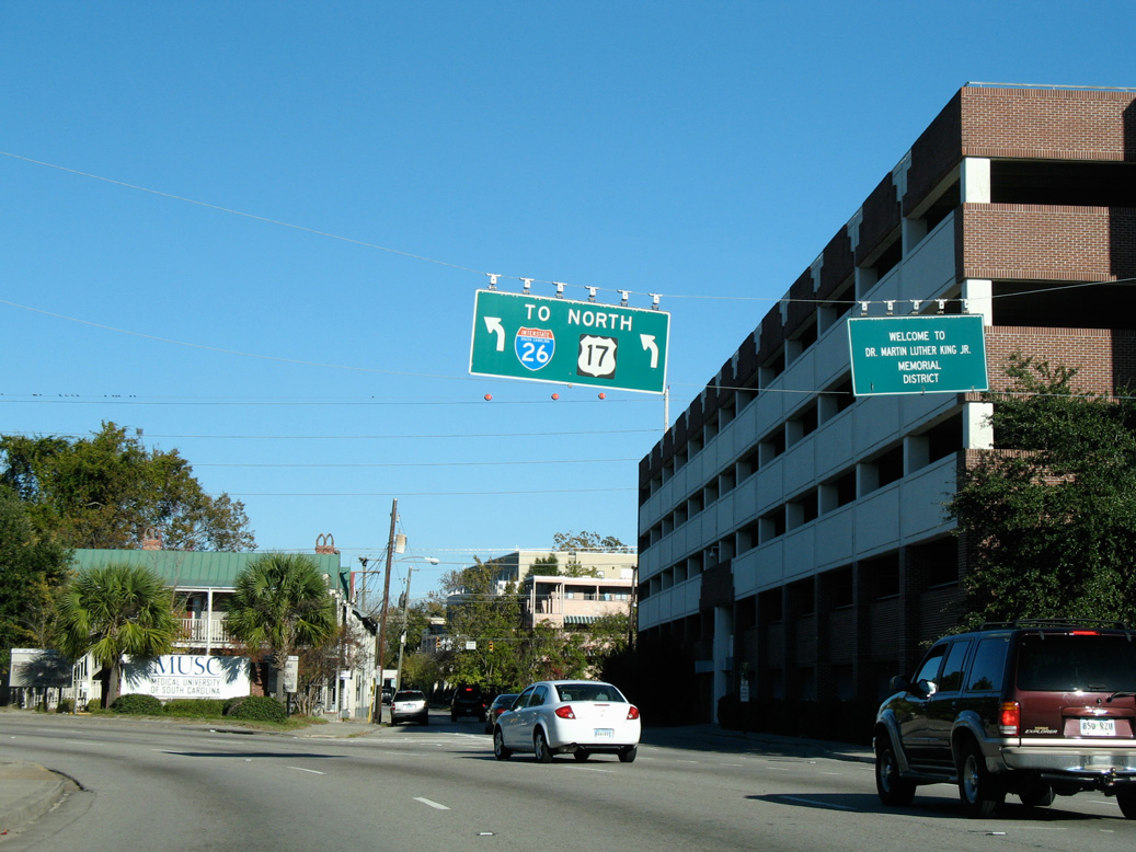
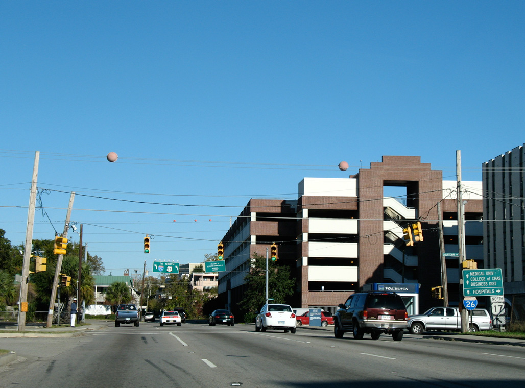
U.S. 17 curves northward from Cannon Street onto Septima P. Clark Parkway to Interstate 26.
11/12/06
11/12/06
U.S. 17 crosses Spring Street westbound at the ensuing traffic light.
11/12/06
11/12/06
Curving eastward, Septima P. Clark Parkway next intersects President Street.
11/12/06
11/12/06
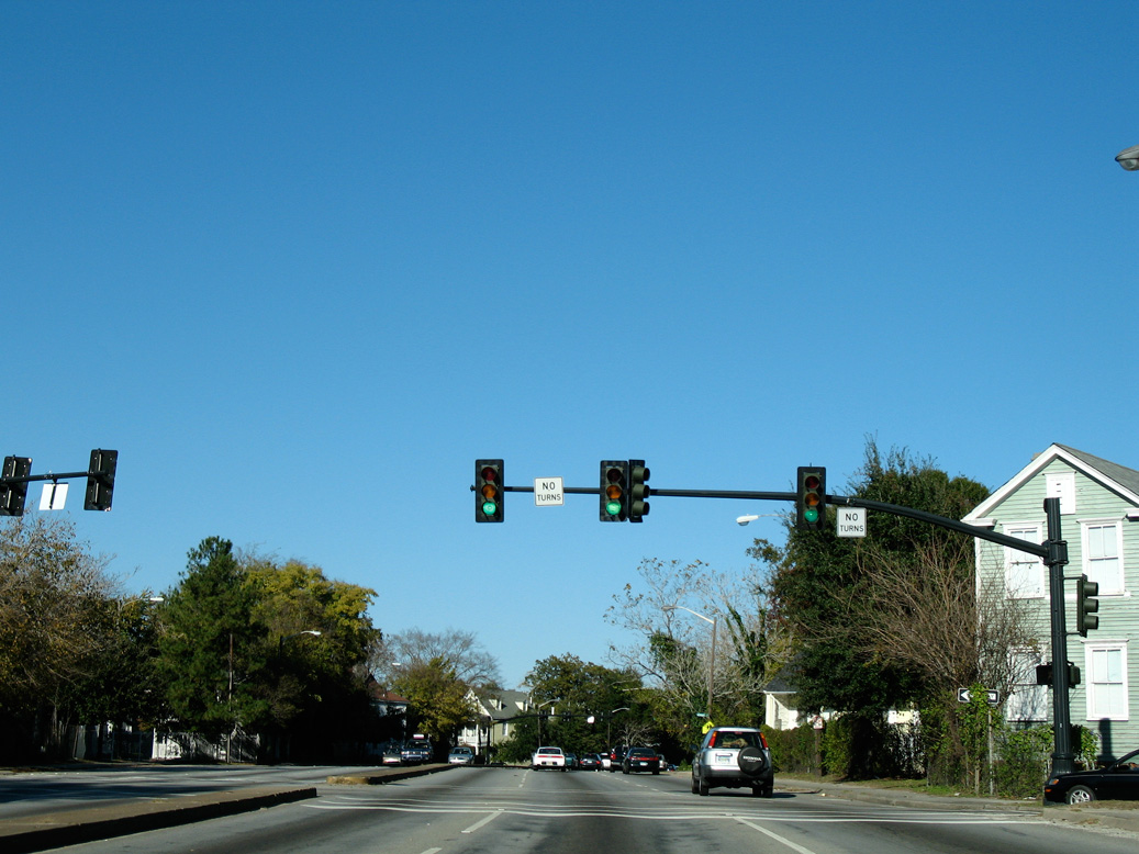
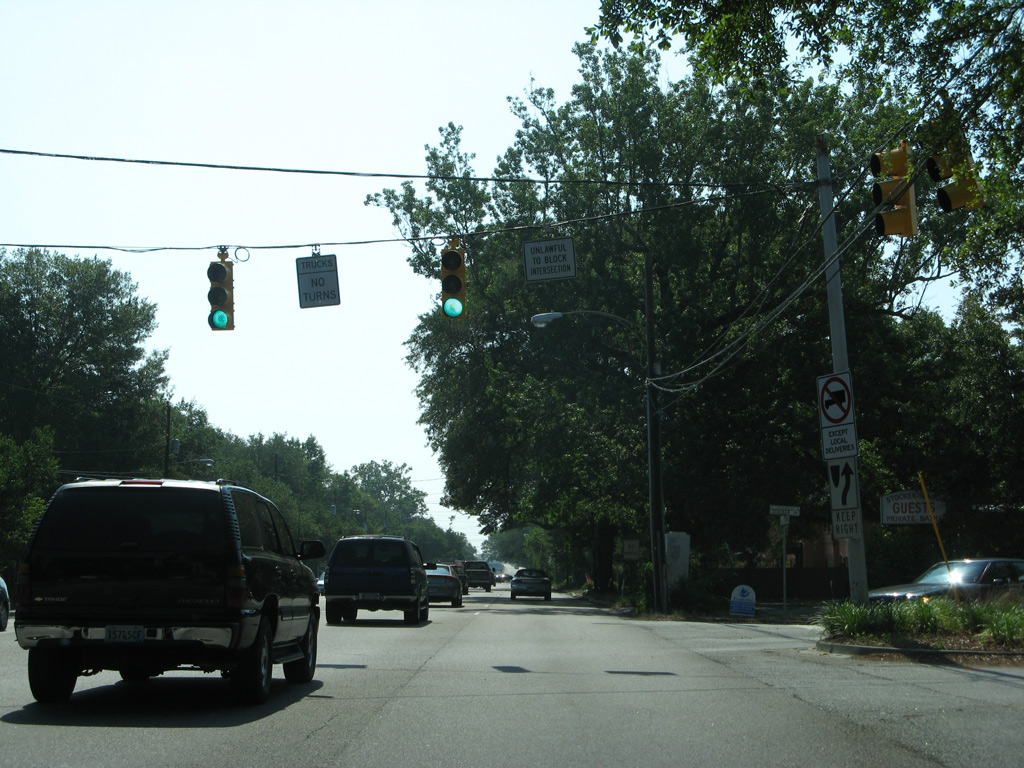
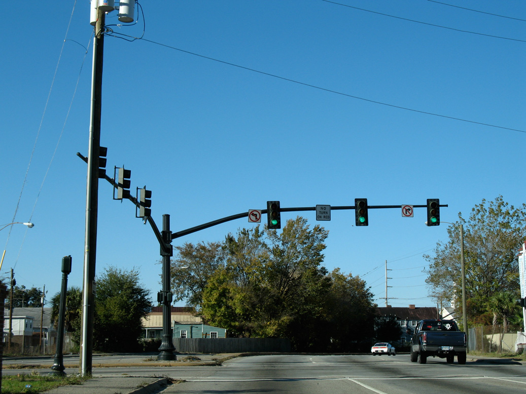
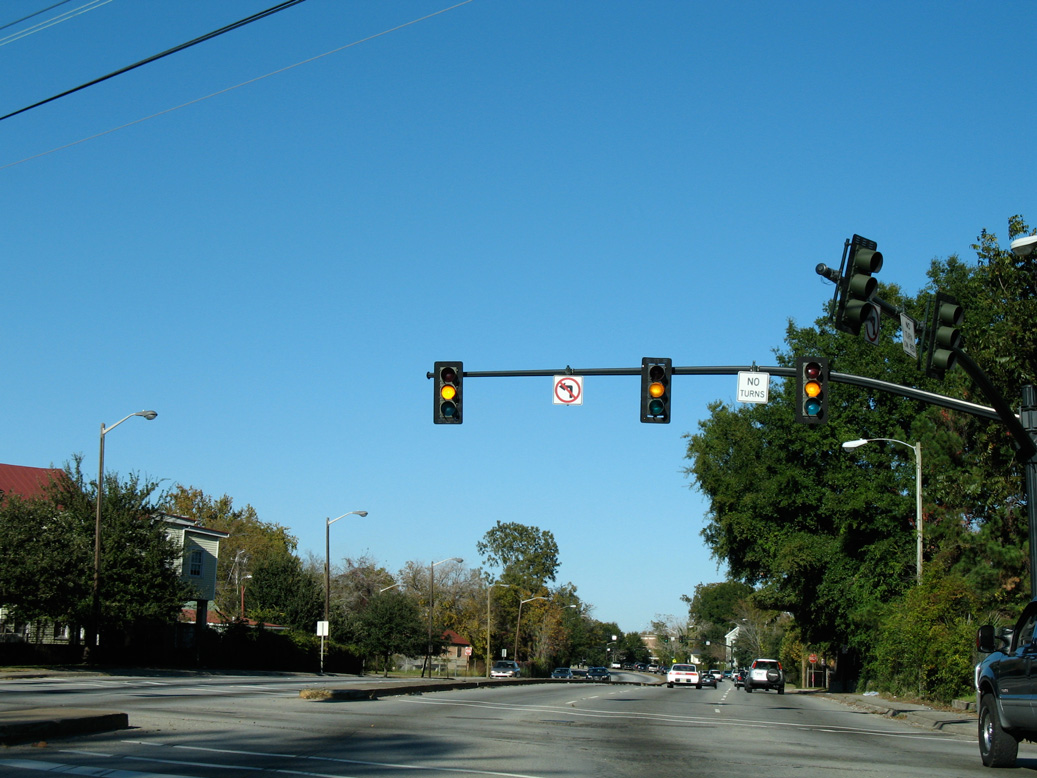
Turns are not permitted at Ashley Avenue.
11/12/06
11/12/06
U.S. 17 (Septima P. Clark Parkway) north at Rutledge Avenue.
11/12/06
11/12/06
A pedestrian bridge spans Septima P. Clark Parkway between Todd and Perry Streets. Overheads were previously posted here for the westbound beginning of I-26.
05/27/07
05/27/07

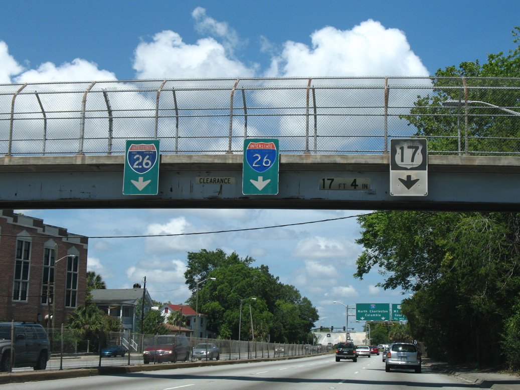
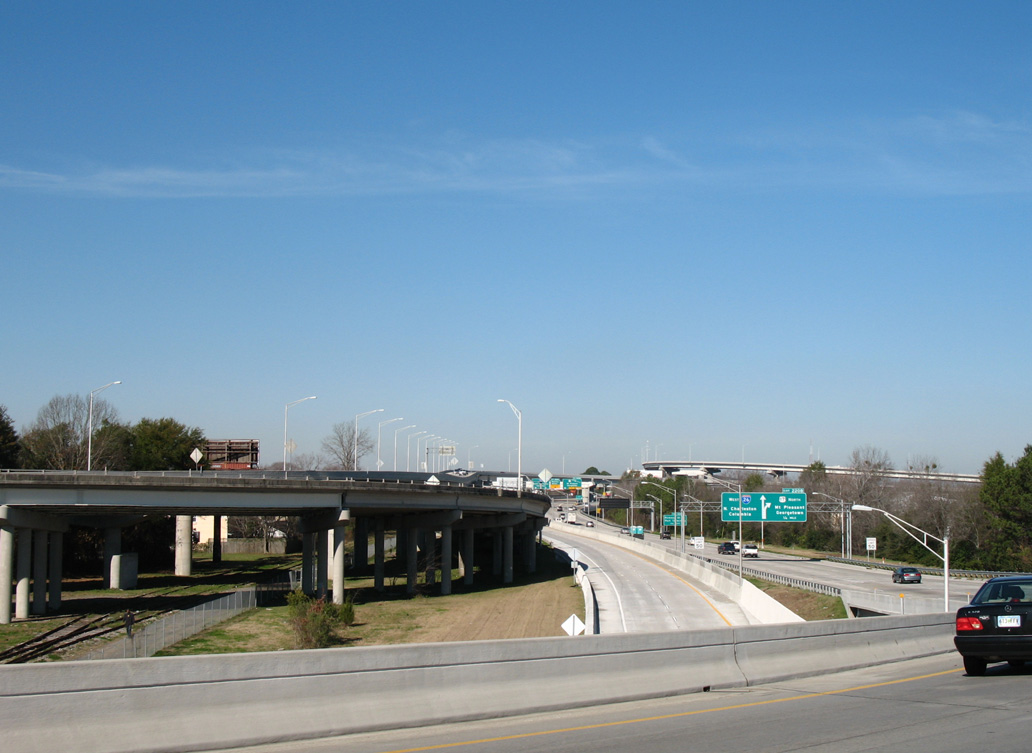
U.S. 17 overlaps with Interstate 26 north from the freeway beginning at Coming Street to the Arthur Ravenel, Jr. Bridge at Exit 220B.
05/27/07
05/27/07
U.S. 17 north at Coming Street (Road 553).
05/30/07
05/30/07
 West North
Prior to the construction of the Ravenel Bridge, U.S. 17 shifted from the exchange with I-26 onto the elevated Septima Clark Expressway east to the Silas Pearman Bridge across the Cooper River.
12/31/17
12/31/17
12/27/06
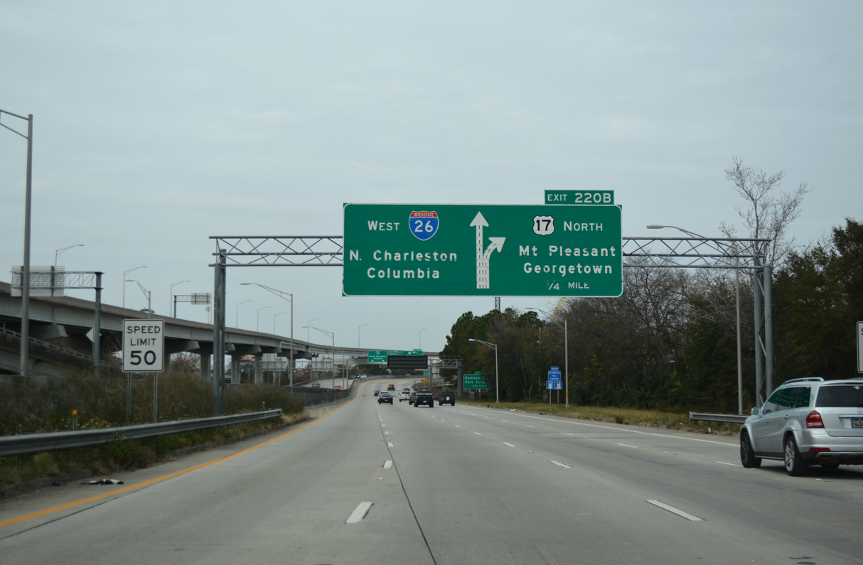
I-26/U.S. 17 proceed 0.58 miles north to a three-wye interchange (Exit 220B) with the Arthur Ravenel, Jr. Bridge.
12/31/17
12/31/17
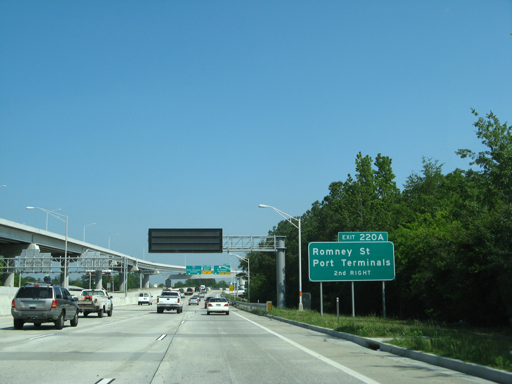
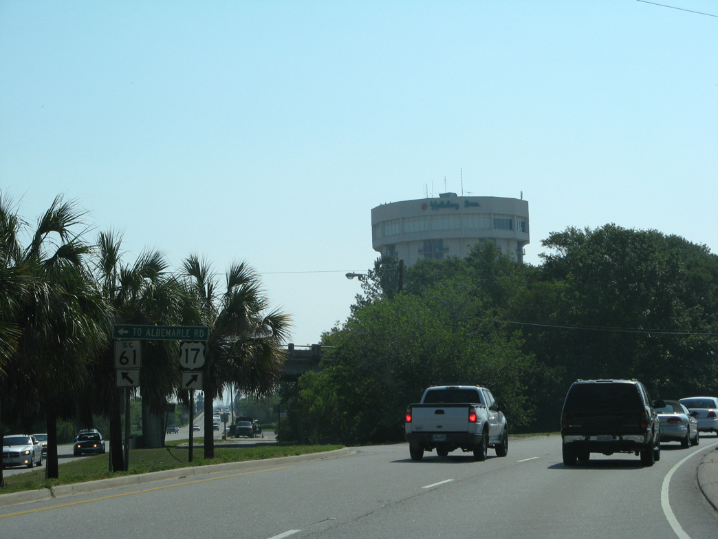
Exit 220A follows from I-26 west for Romney Street (Road 126).
05/30/07
05/30/07
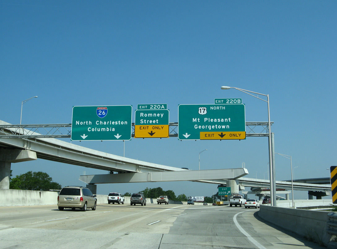
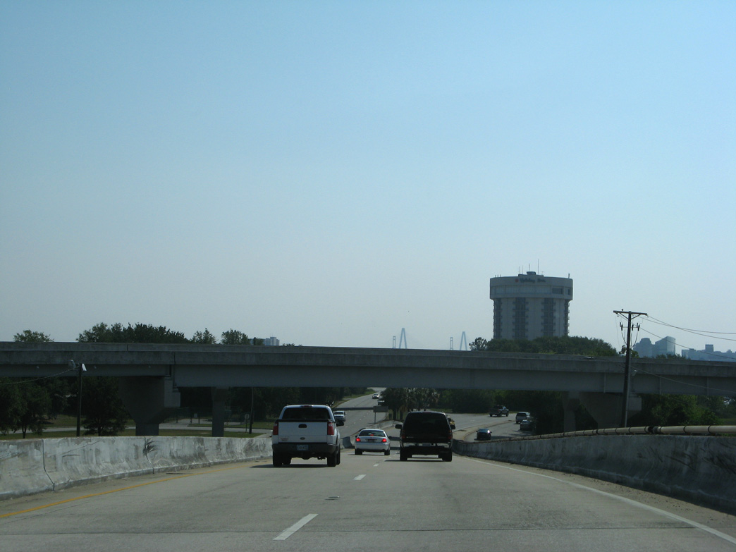
Interstate 26 travels northwest from Charleston to North Charleston, Orangeburg and Columbia.
05/30/07
05/30/07
North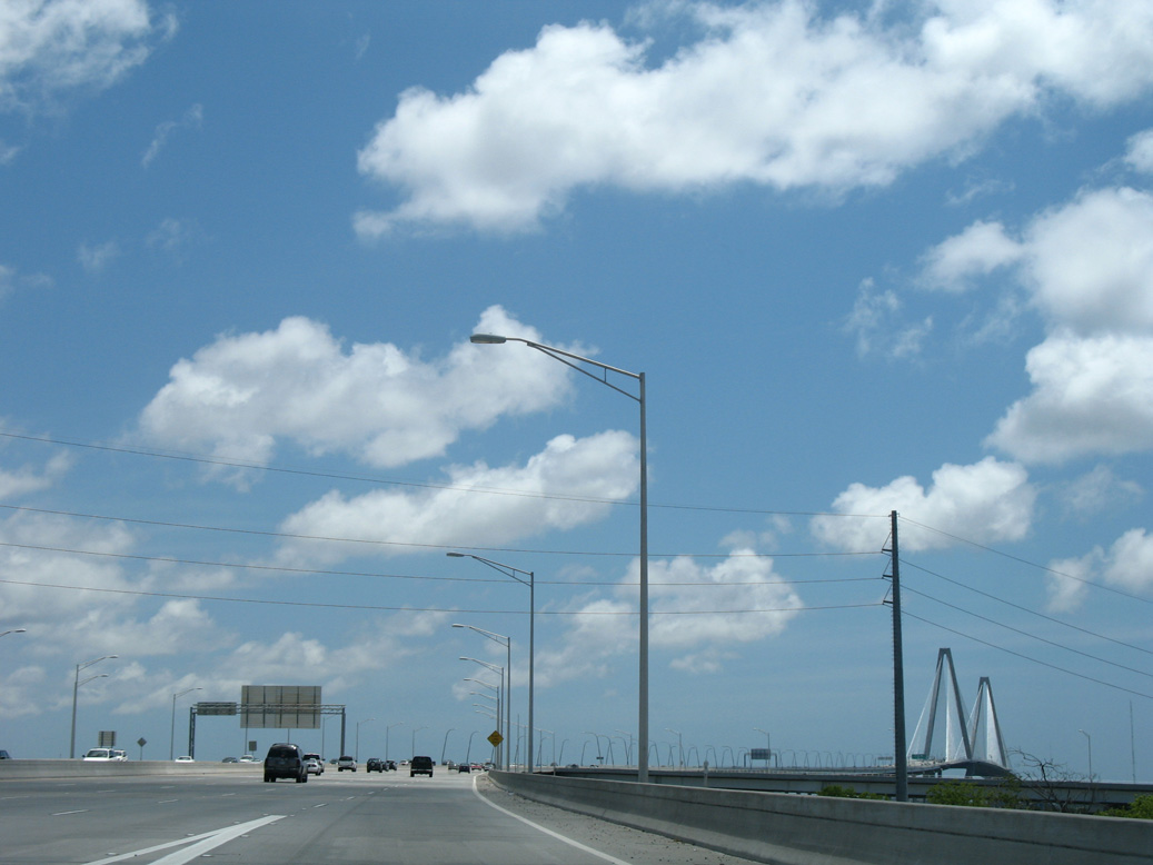
U.S. 17 ascends eastward over U.S. 52 (Meeting Street) and U.S. 52 Spur (Morrison Drive) toward Drum Island.
05/27/07
05/27/07
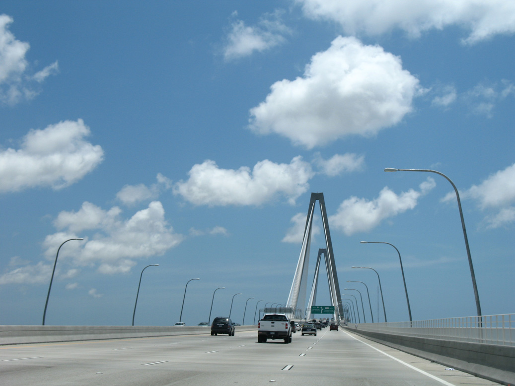
Opened to traffic on July 15, 2005, the Arthur Ravenel, Jr. Bridge took four years to construct.
05/27/07
05/27/07
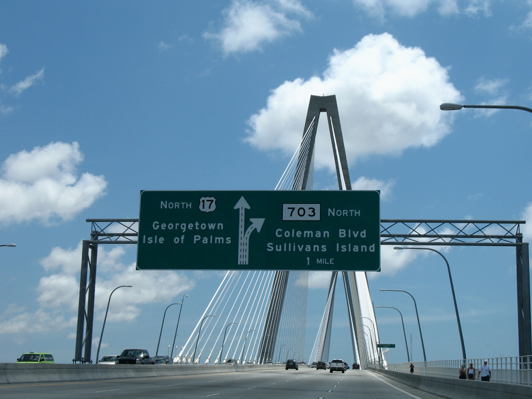
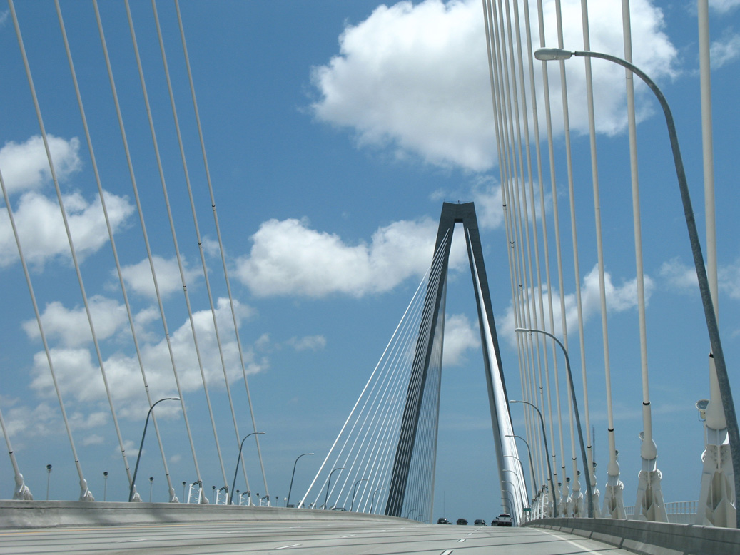
A wye interchange joins the east end of the Ravenel Bridge with S.C. 703 (Coleman Boulevard) north into the town of Mount Pleasant.
05/27/07
05/27/07
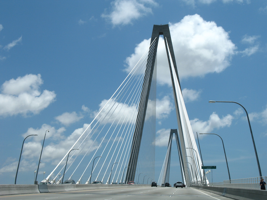
Two 572 high towers support the 1,546 foot long main span of the Ravenel Bridge.
05/27/07
05/27/07
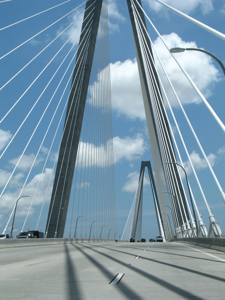
U.S. 17 crosses the main channel of the Cooper River east from Town Creek and Drum Island.
05/27/07
05/27/07
The Ravenel Bridge replaced a pair of narrow cantilever spans, located just north of the eight lane crossing.
05/27/07
05/27/07
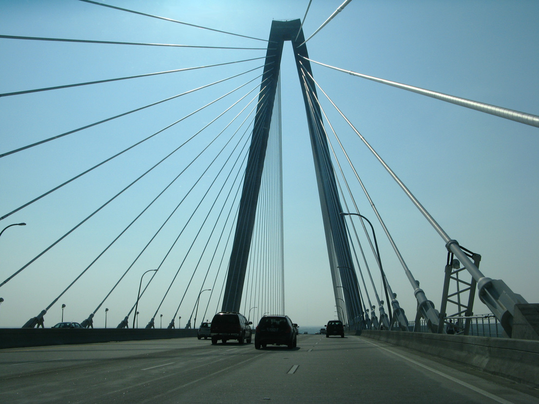
U.S. 17 northbound enters the town of Mount Pleasant along the Ravenel Bridge at mid span.
05/30/07
05/30/07
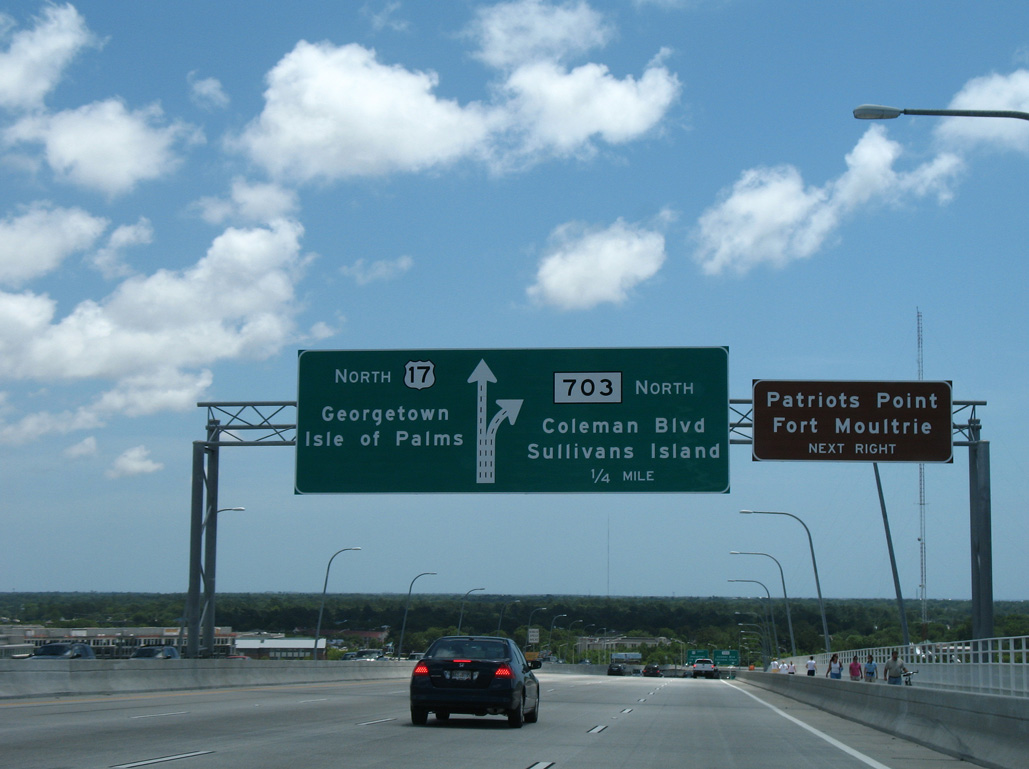
S.C. 703 (Coleman Boulevard) weaves 2.74 miles southeast through a commercial strip to Business Spur I-526 (Old Georgetown Road).
05/27/07
05/27/07
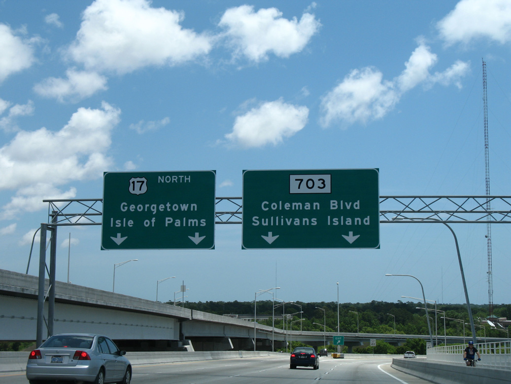
A 10.93 mile long route, S.C. 703 extends south from Mount Pleasant to Sullivans Island and east along the Atlantic coast to Isle of Palms.
05/27/07
05/27/07
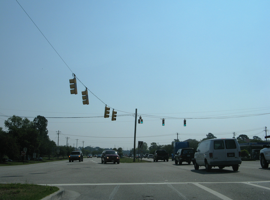
U.S. 17 transitions into an at-grade arterial east from S.C. 703 at Magrath Darby Boulevard.
05/30/07
05/30/07
The exit from U.S. 17 (Johnnie Dodds Boulevard) north to Bowman Road forms an access road to Business Spur I-526 (Chuck Dawley Boulevard) eastbound.
12/31/17
12/31/17
The entrance ramp from Bowman Road joins U.S. 17 northbound ahead of the loop ramp for I-526 west.
12/31/17
12/31/17
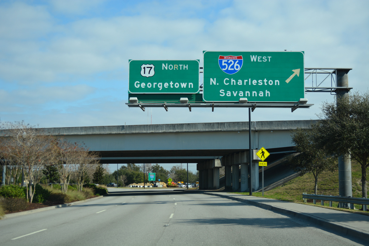
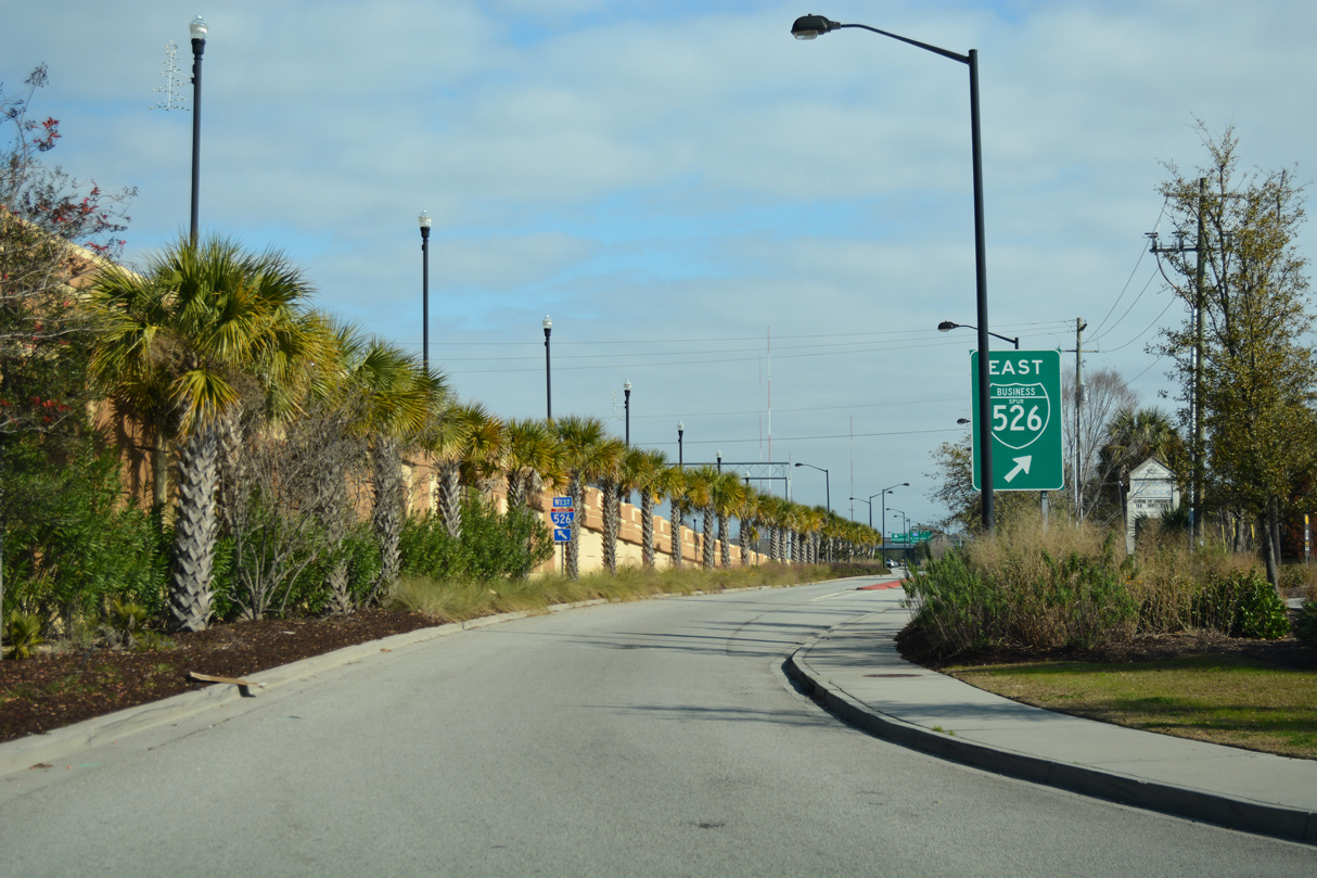
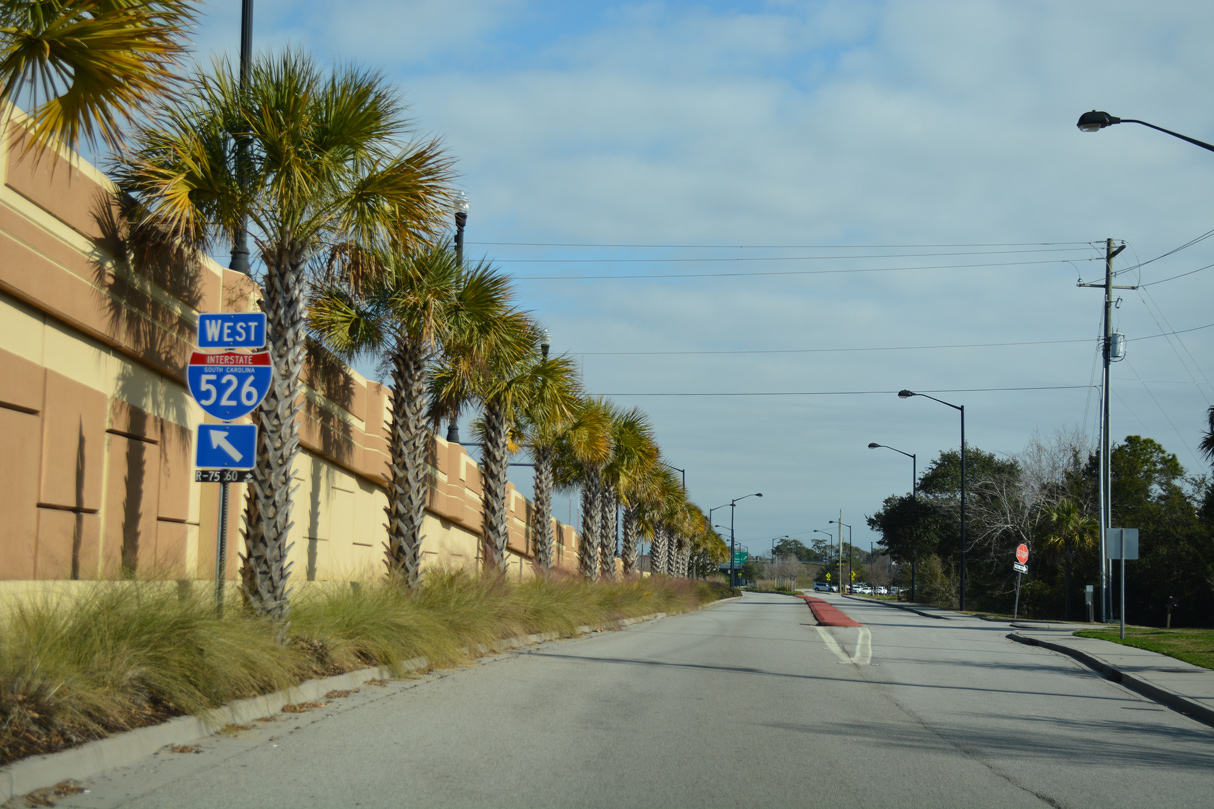
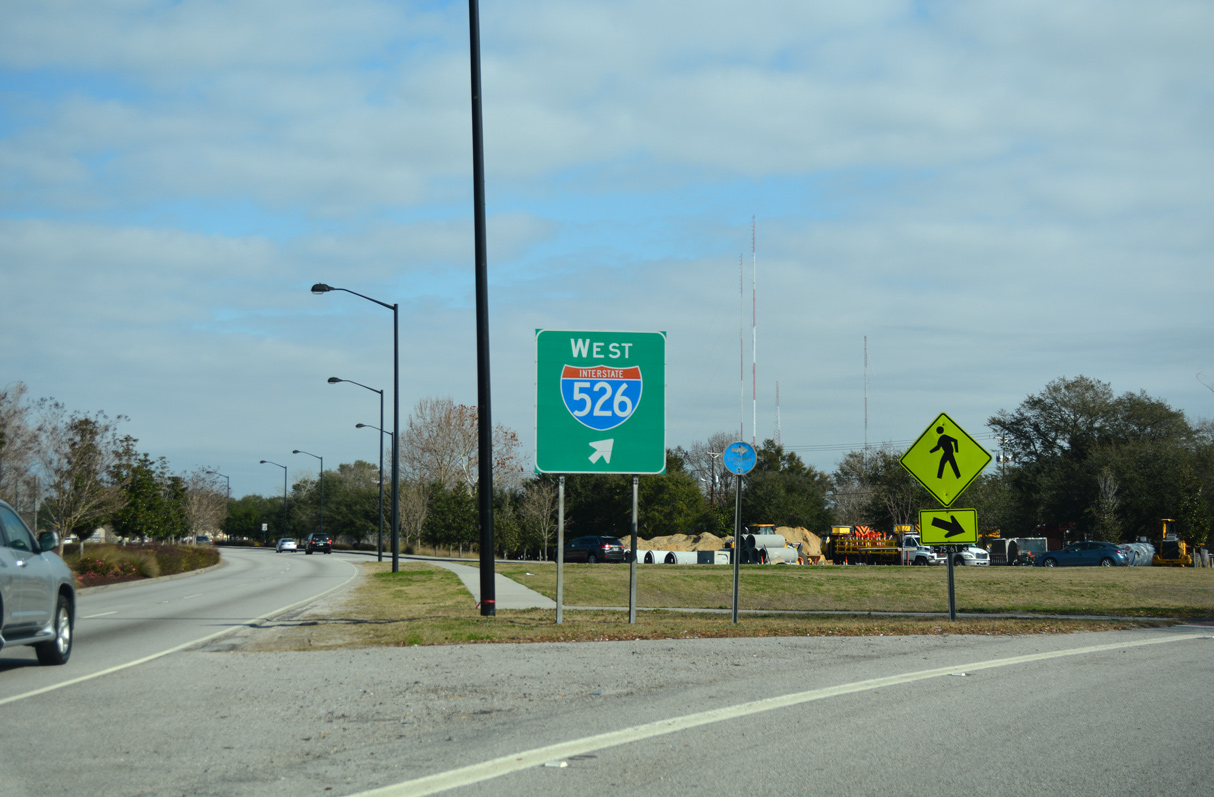
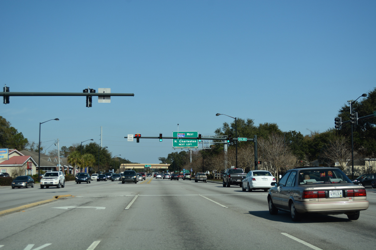
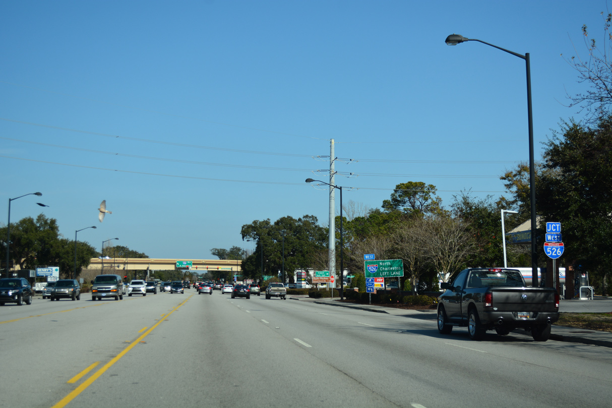
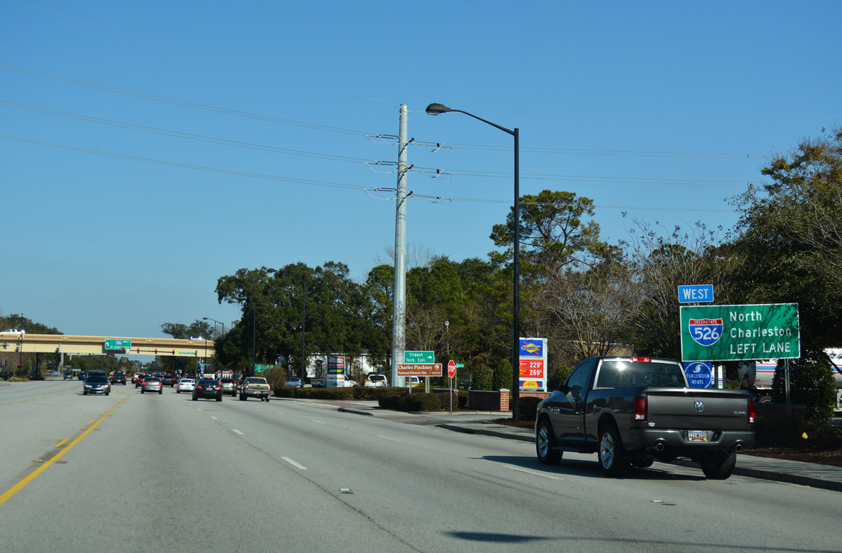
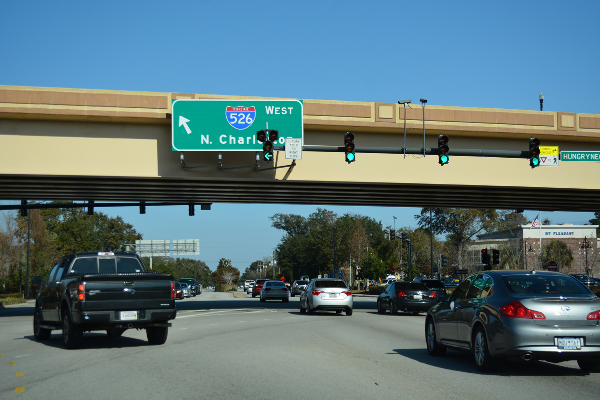
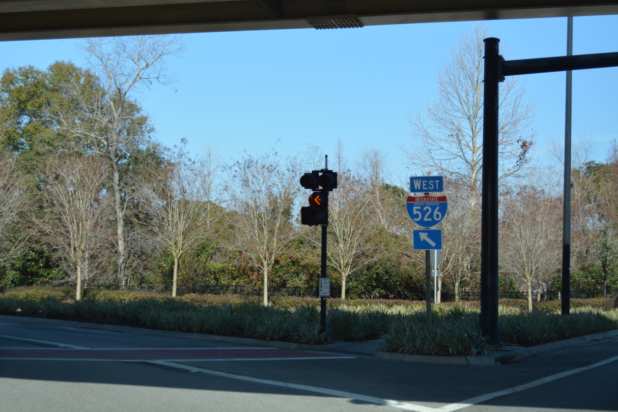
Interstate 526 arcs northwest from U.S. 17 and Business Spur I-526 to Daniel Island and North Charleston.
12/31/17
12/31/17
12/31/17
12/31/17
12/31/17
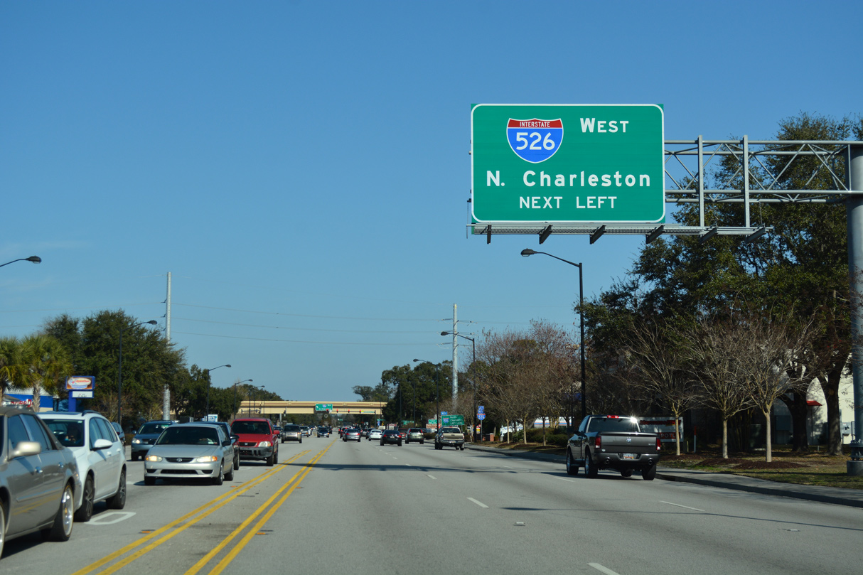
A single point interchange connects ramps joining U.S. 17 (Johnnie Dodds Boulevard) and Hungry Neck Boulevard with Interstate 526 west.
12/31/17
12/31/17
12/31/17
12/31/17
12/31/17
12/31/17
12/15/07
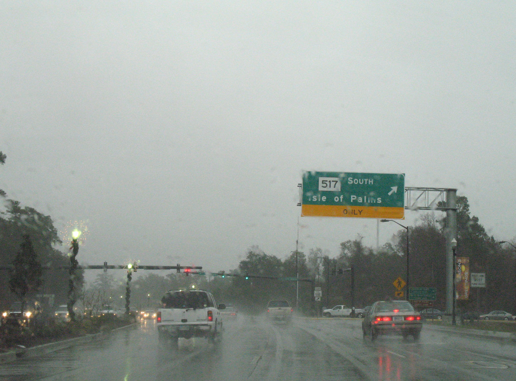
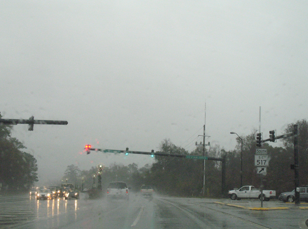
S.C. 517 (Isle of Palms Connector) spurs 3.84 miles southeast from U.S. 17 to S.C. 703 (Palm Boulevard) on the Isle of Palms.
12/15/07
12/15/07
12/15/07
12/15/07
Photo Credits:
- Andy Field: 05/30/07
- Alex Nitzman: 11/12/06, 12/27/06, 05/27/07, 12/15/07, 12/31/17
Connect with:
Page Updated Wednesday September 22, 2021.