
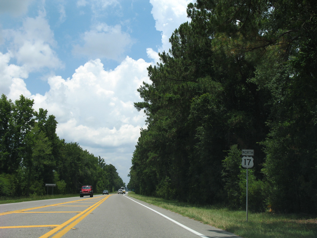
U.S. 17 North - Downtown Jacksonville to Yulee

 North
North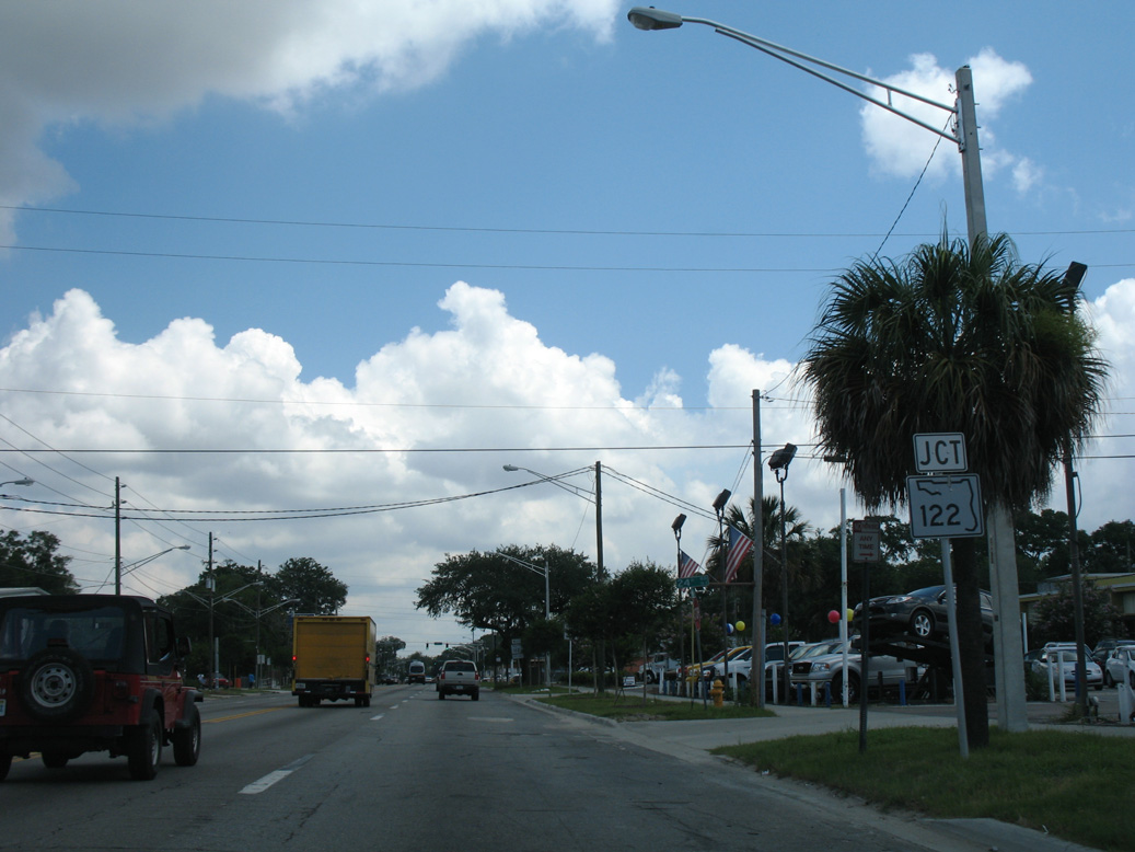
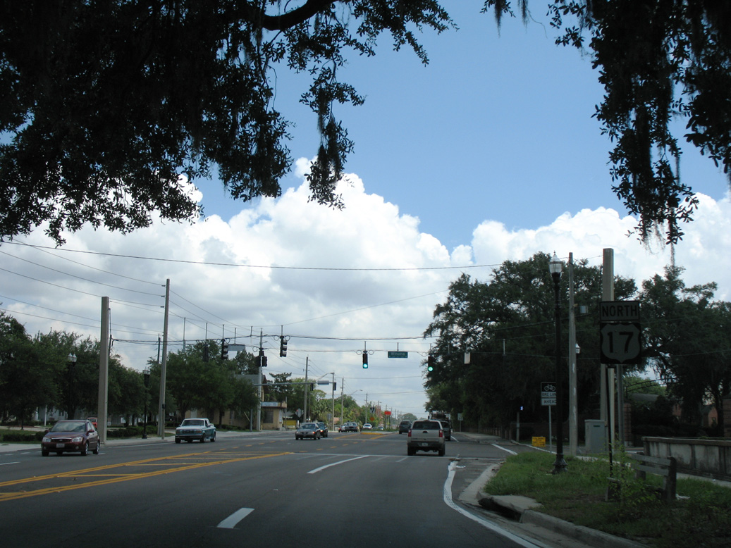
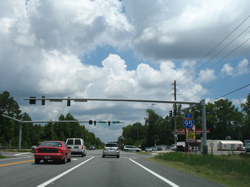
U.S. 17 (Main Street) proceeds north from U.S. 1/1 ALT (Martin Luther King, Jr. Parkway) into the Brentwood neighborhood of Jacksonville, next meeting SR 122 at 27th Street.
06/14/08
06/14/08
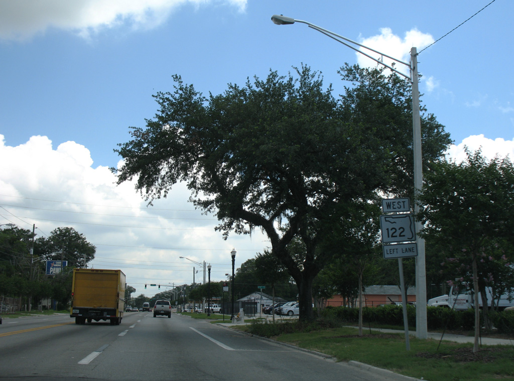
SR 122 constitutes a 1.08 mile long route west on 27th Street to SR 117 (Brentwood Avenue) and Golfair Boulevard to Interstate 95 at Exit 355.
06/14/08
06/14/08
06/14/08
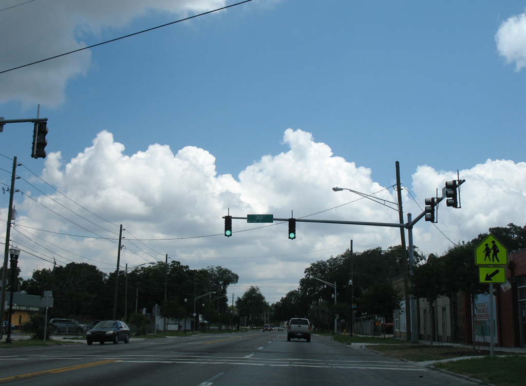
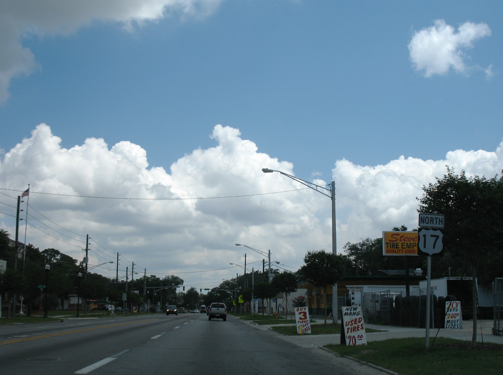
30th Street intersects U.S. 17 (Main Street) east at Andrew Jackson High School.
06/14/08
06/14/08
Removed by 2009, this reassurance marker preceded the traffic light at Winona Drive.
06/14/08
06/14/08

Winona Drive ties into Main Street at the entrance to Evergreen Cemetery.
06/14/08
06/14/08
06/14/08
06/14/08
06/14/08
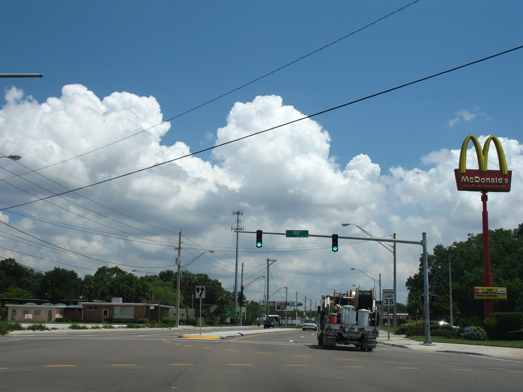
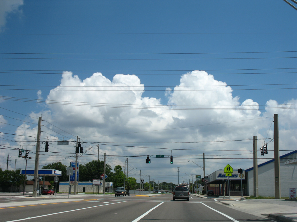
50th Street stems east to industrial areas in the Panama Park neighborhood.
06/14/08
06/14/08
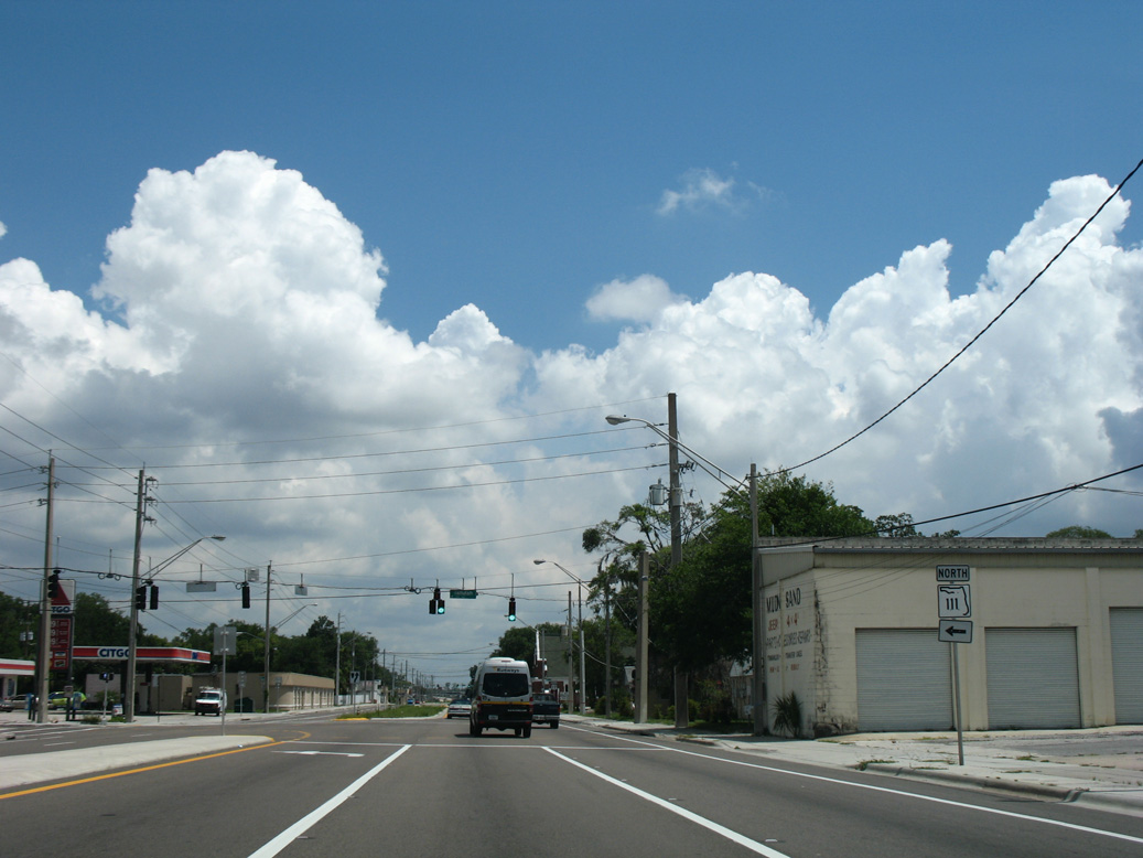
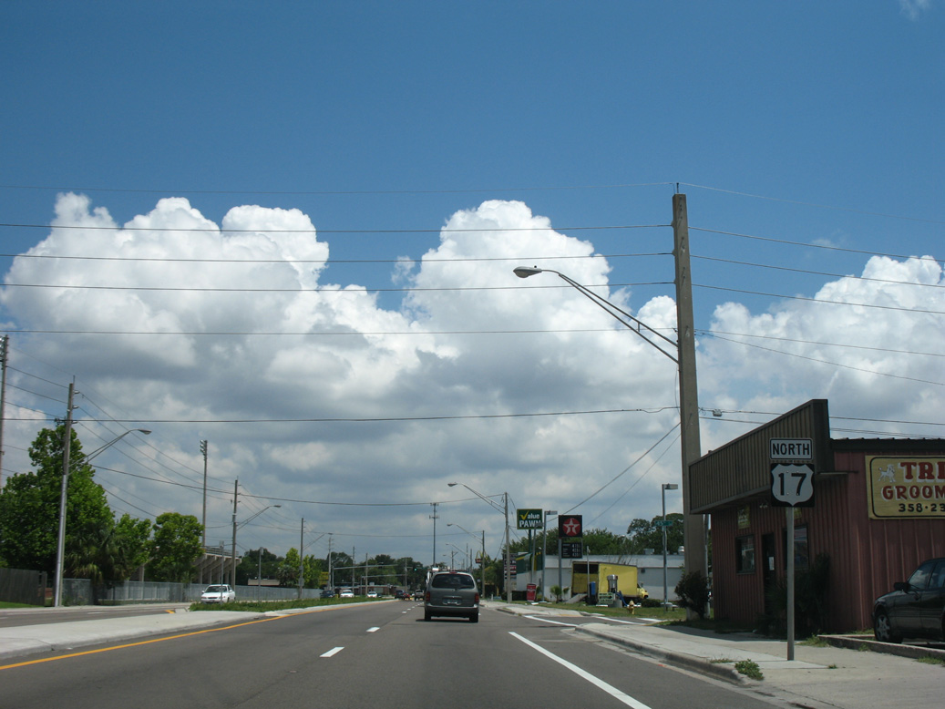
SR 111 angles northwest from U.S. 17 (Main Street) along Tallulah Avenue through the Tallulah / North Shore neighborhood to I-95 at Lake Forest. A circuitous route, SR 111 arcs 11.88 miles southwest to SR 21 (Blanding Boulevard) at Lakeshore in Jacksonville.
06/14/08
06/14/08

06/16/16
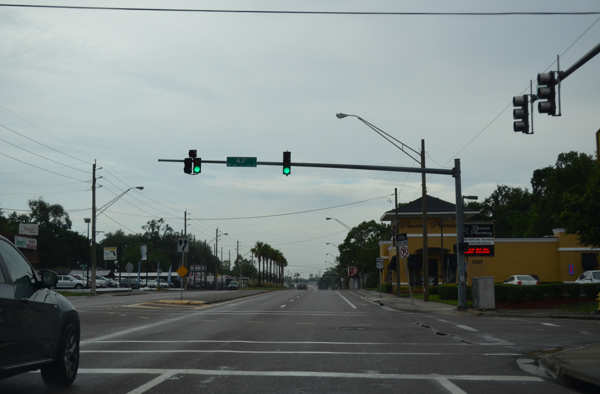
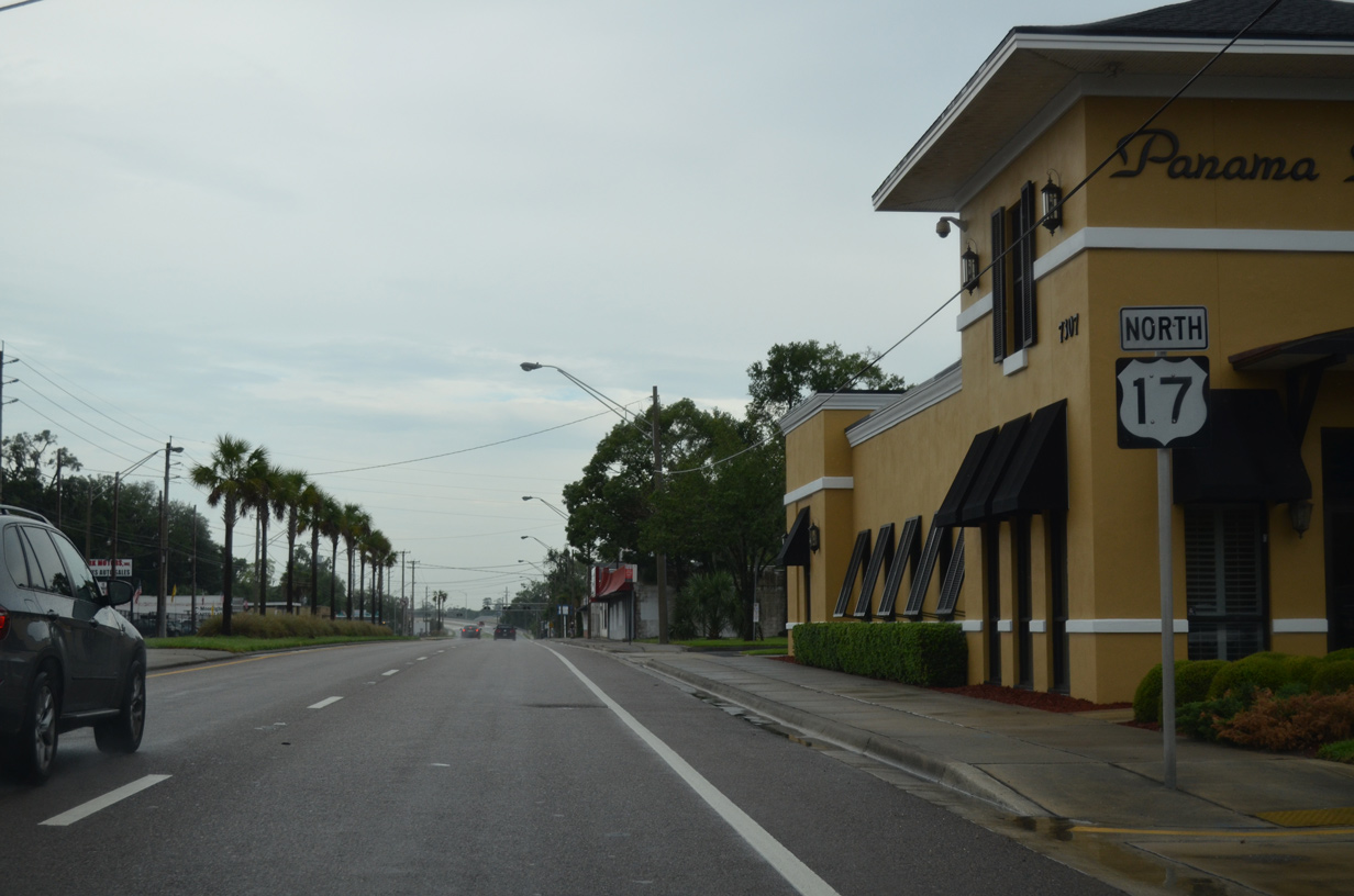
63rd Street intersects Main Street east from Rolliston Park and west from Panama Park.
06/16/16
06/16/16
06/16/16
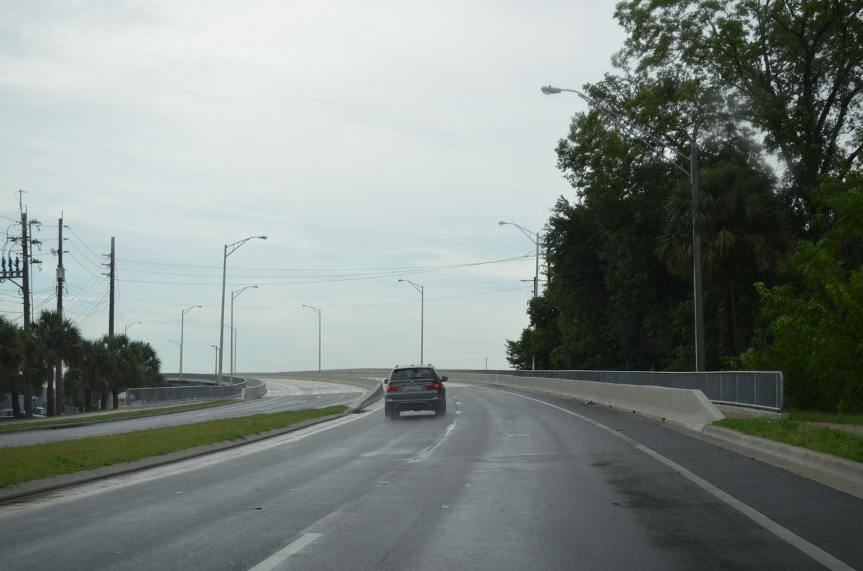
U.S. 17 advances north across the Trout River to Hollyford in Jacksonville.
06/16/16
06/16/16
06/14/08
The old draw bridge for U.S. 17 across the Trout River remains, partly as a fishing pier.
06/14/08
06/14/08
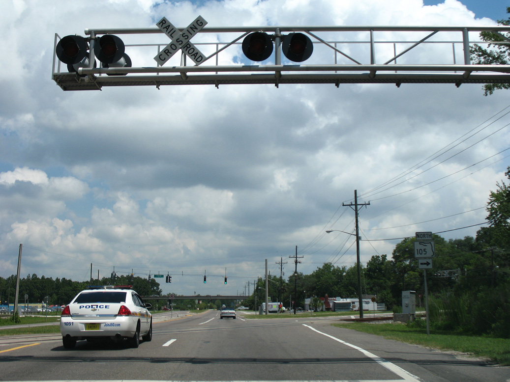
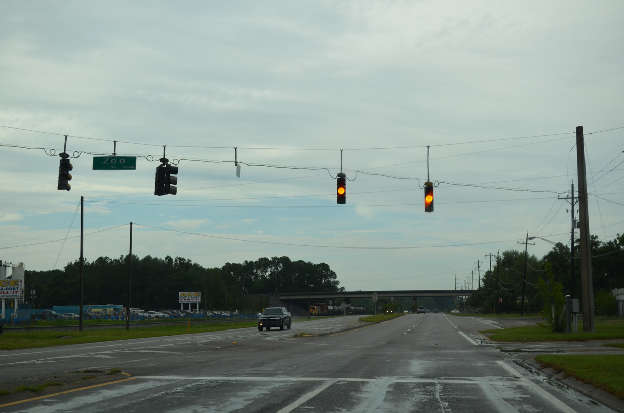
Heckscher Drive connects U.S. 17 (Main Street) north with SR 105 east along Zoo Parkway. This trailblazer for SR 105 for the connector was removed after 2011.
06/14/08
06/14/08
06/16/16
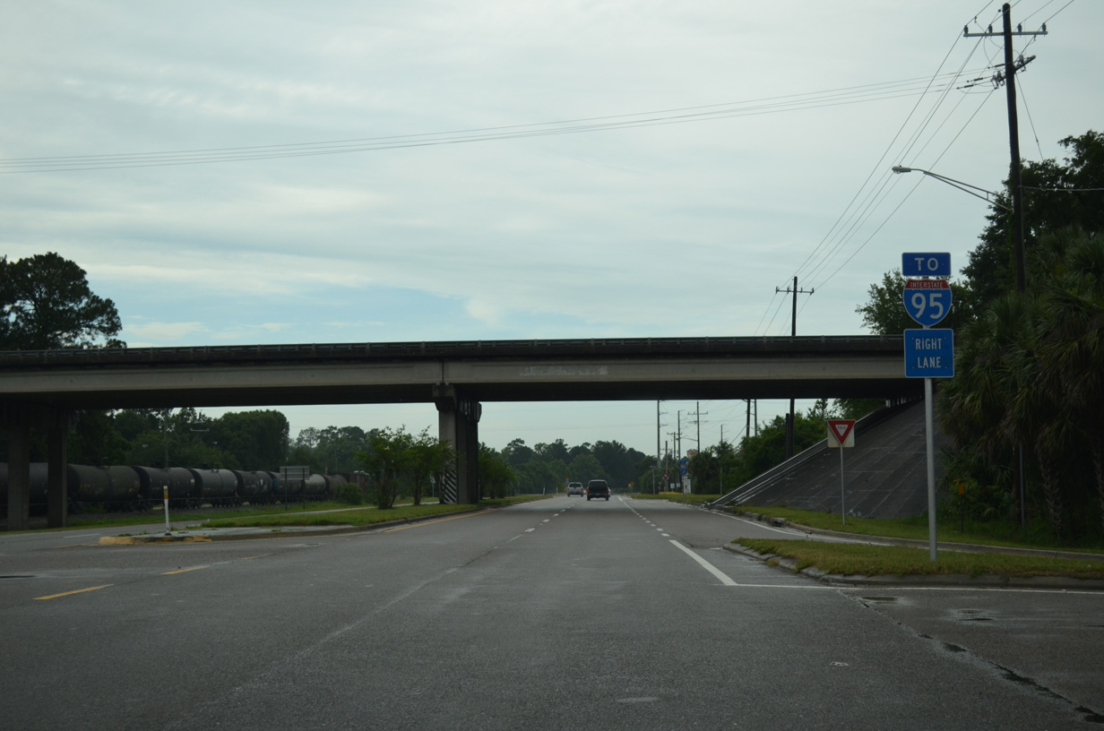
A folded diamond interchange provides the remaining movements joining U.S. 17 (Main Street) and SR 105 (Zoo Parkway). Trailblazers for the adjacent exchange with I-95 are posted in lieu of SR 105 markers.
06/16/16
06/16/16
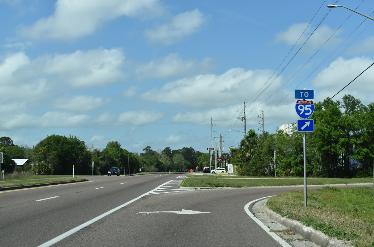
U.S. 17 north at the loop ramp for SR 105 (Zoo Parkway) west to Interstate 95.
03/26/20
03/26/20
Clark Road heads west from U.S. 17 to a loop ramp for I-95 south and Broward Road in the Highlands neighborhood.
06/16/16
06/16/16
A flyover ramp connects U.S. 17 southbound with Clark Road over the adjacent CSX Railroad line.
06/16/16
06/16/16
Imeson Park Boulevard serves an area of distribution and logistics centers east from U.S. 17 to SR 105 (Zoo Parkway).
06/16/16
06/16/16
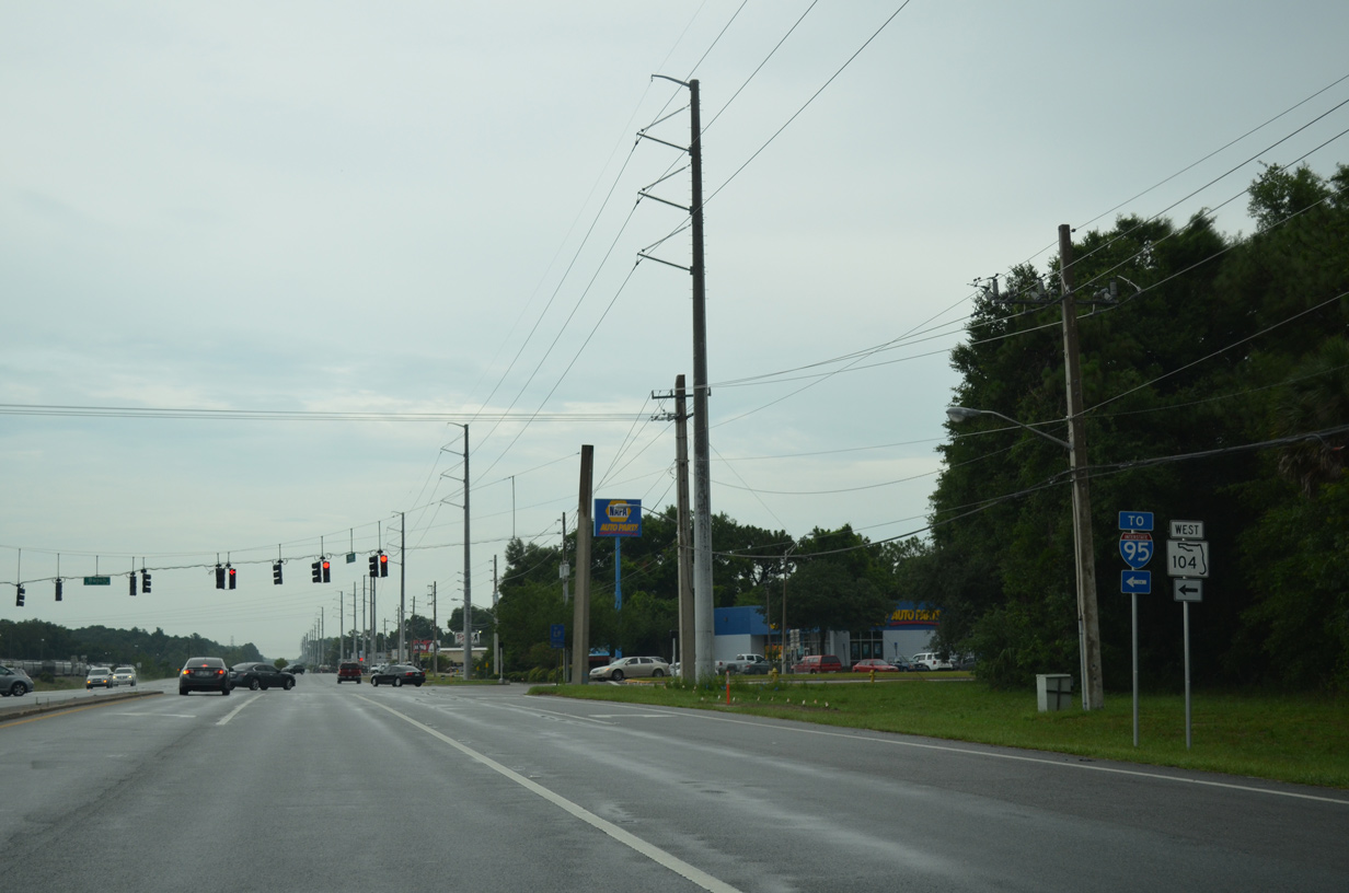
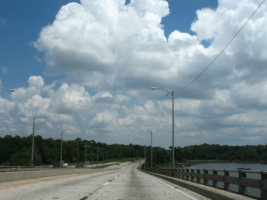
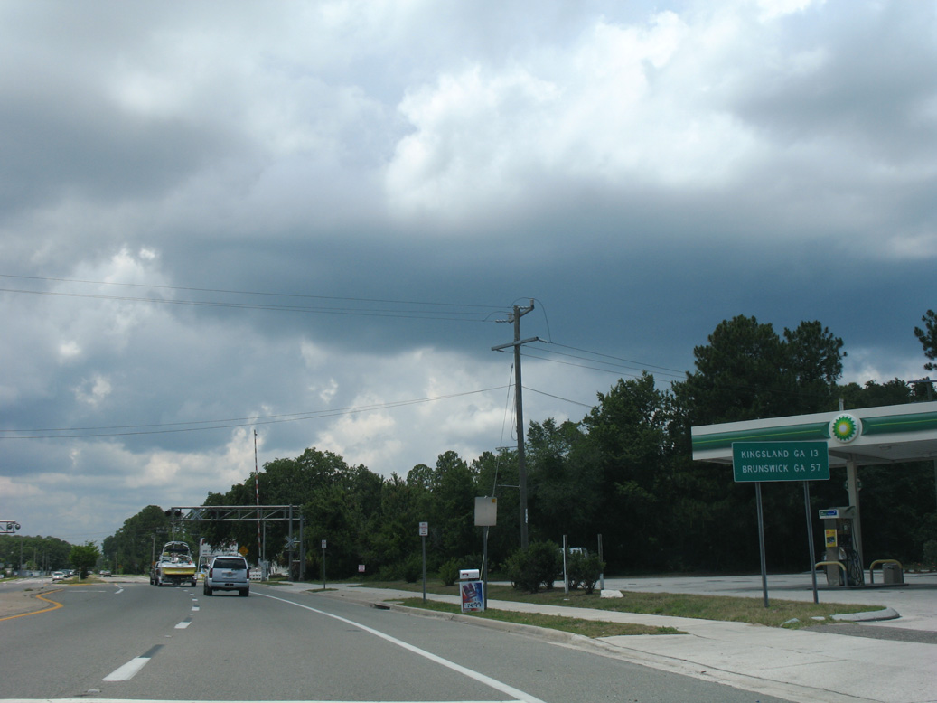
SR 104 (Dunn Avenue) runs 7.57 miles west from U.S. 17 (Main Street) to Highlands, Biscayne, Garden City and U.S. 1/23.
06/16/16
06/16/16
The confirming marker north of SR 104 (Dunn Avenue) was removed during a stormwater construction project in 2011.
06/14/08
06/14/08
06/14/08
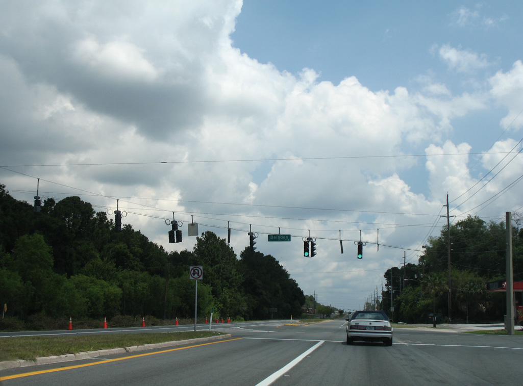
Baisden Road represents one of two entrances to the San Mateo neighborhood east of U.S. 17.
06/14/08
06/14/08
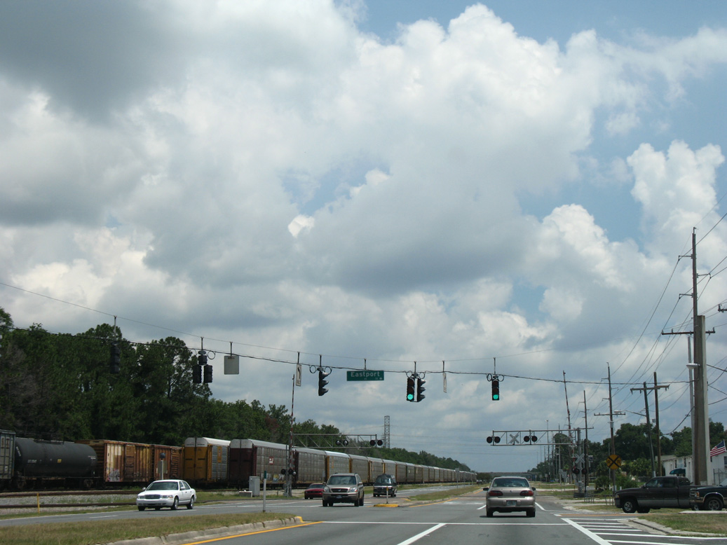
Eastport Road loops southeast to SR 105 through industrial areas at Oceanway and East Point.
06/14/08
06/14/08
U.S. 17 reduces from four to two lanes beyond the intersection with Cole Road west and New Berlin Road east at Oceanway in Jacksonville.
06/14/08
06/14/08
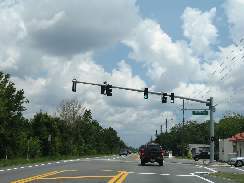
The traffic lights at Oceanway Avenue serve adjacent Oceanway Middle School.
06/14/08
06/14/08
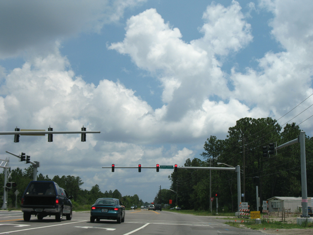
Airport Center Drive was extended east from U.S. 17 in 2009 into the Duval area of north Jacksonville. Airport Center Drive west becomes SR 102 at River City Marketplace and Interstate 95.
06/14/08
06/14/08

The Sagefield luxury apartment complex was constructed where this reassurance marker was posted north of Drury Lane in 2021/22.
06/14/08
06/14/08
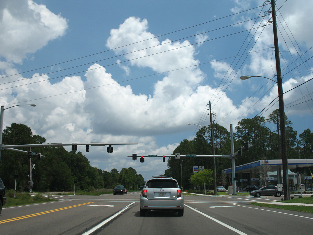
Duval Station Road west from the Jamestown and Pecan communities ties into U.S. 17 across from Max Leggett Parkway (unsigned CR 110 / former Duval Road).
06/14/08
06/14/08
The confirming marker north of Max Leggett Parkway (CR 110) and Duval Station Road was removed by 2018.
06/14/08
06/14/08
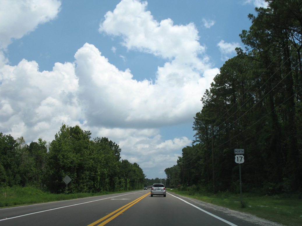
Pecan Park Road leads west from U.S. 17 (Main Street) at Park Avenue in Pecan to become SR 243 at Interstate 95.
06/14/08
06/14/08
The reassurance marker posted north of Pecan Park Road was removed by 2017.
06/14/08
06/14/08
Advancing north from Eagle Bend in Jacksonville, U.S. 17 crosses Inconstantion Creek.
06/14/08
06/14/08
U.S. 17 continues across Halfmoon Island north from Inconstantion Creek.
06/14/08
06/14/08
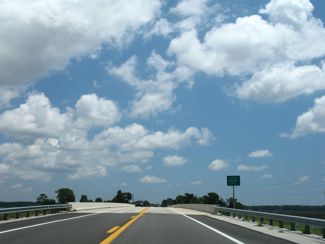
U.S. 17 spans the Nassau River north into Nassau County.
06/14/08
06/14/08
The reassurance marker north of the Nassau River and Duval County line was removed by 2013.
06/14/08
06/14/08
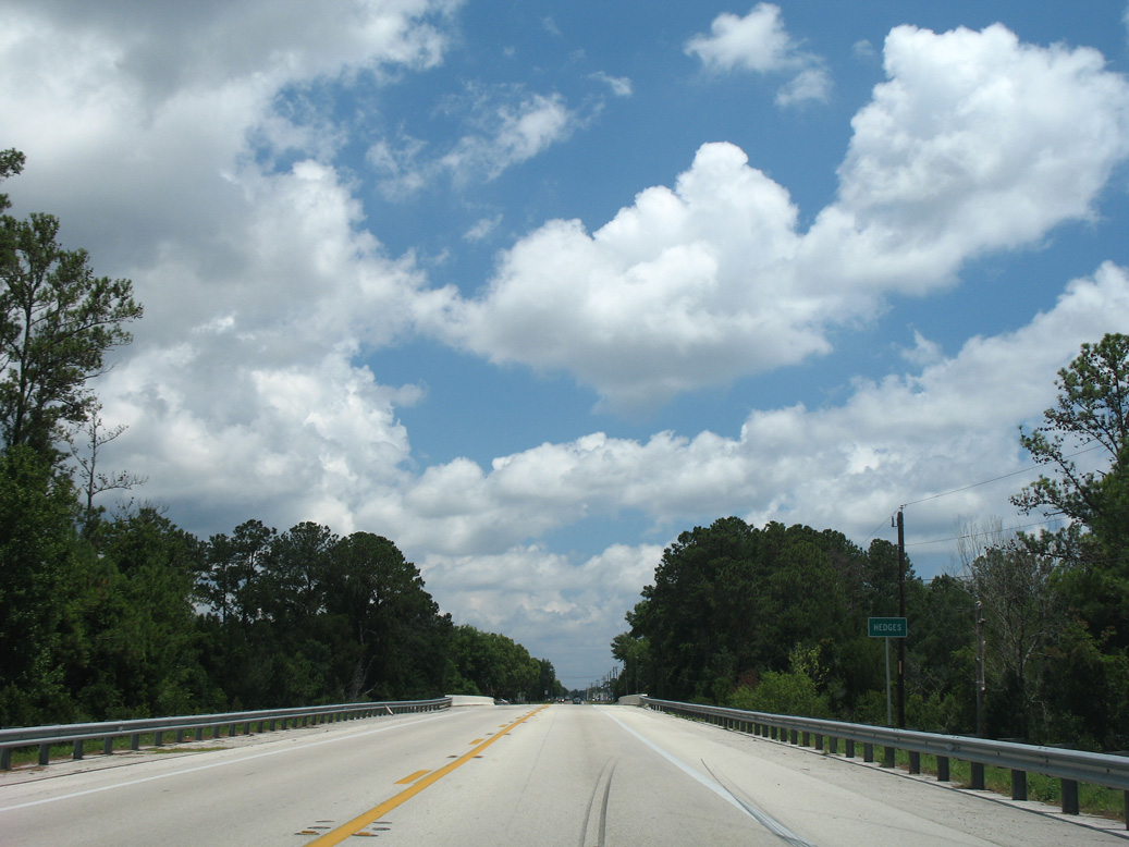
The community of Hedges lies north of Gardner Creek along U.S. 17.
06/14/08
06/14/08
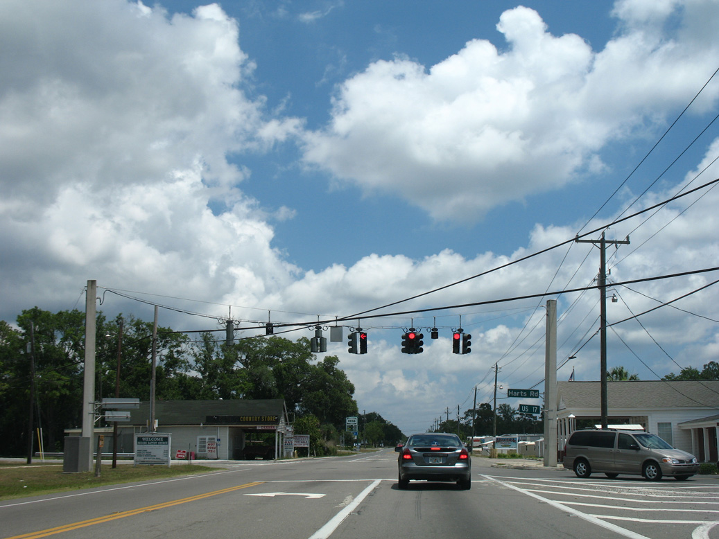
Harts Road angles southeast from U.S. 17 to Haddock Road and a residential street grid west of Lofton Creek. Harts Road northwest formerly crossed the CSX Railroad en route to SR A1A/200.
06/14/08
06/14/08
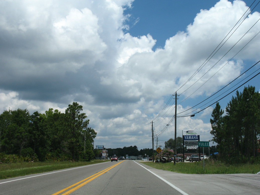
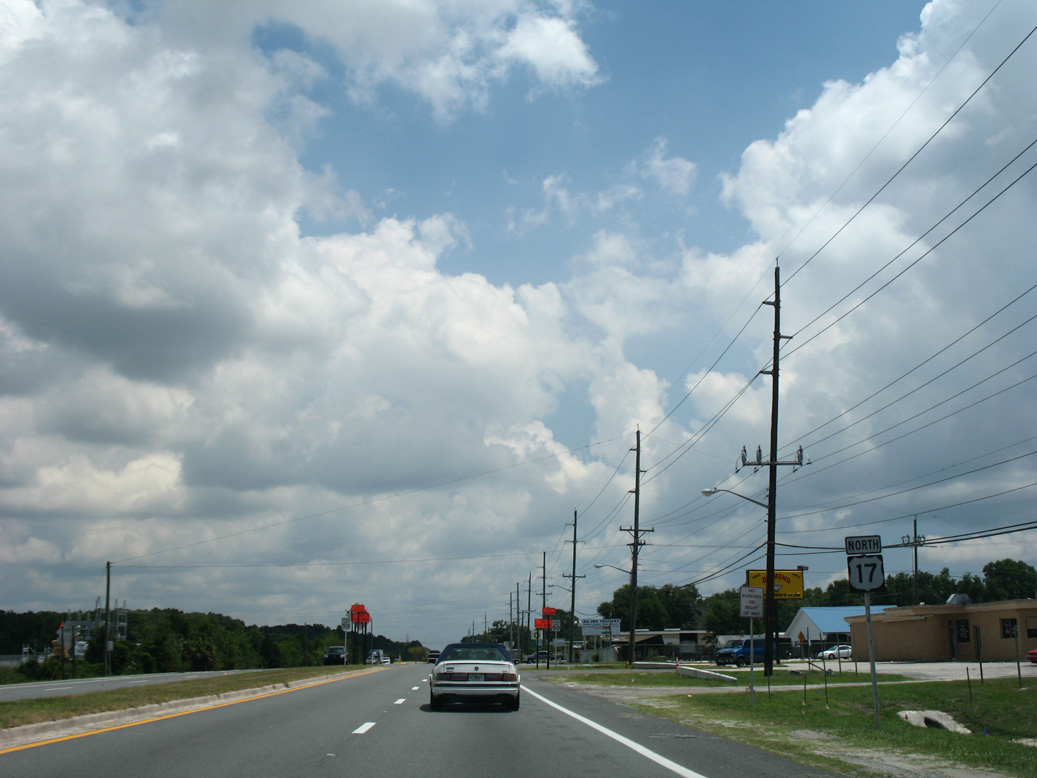
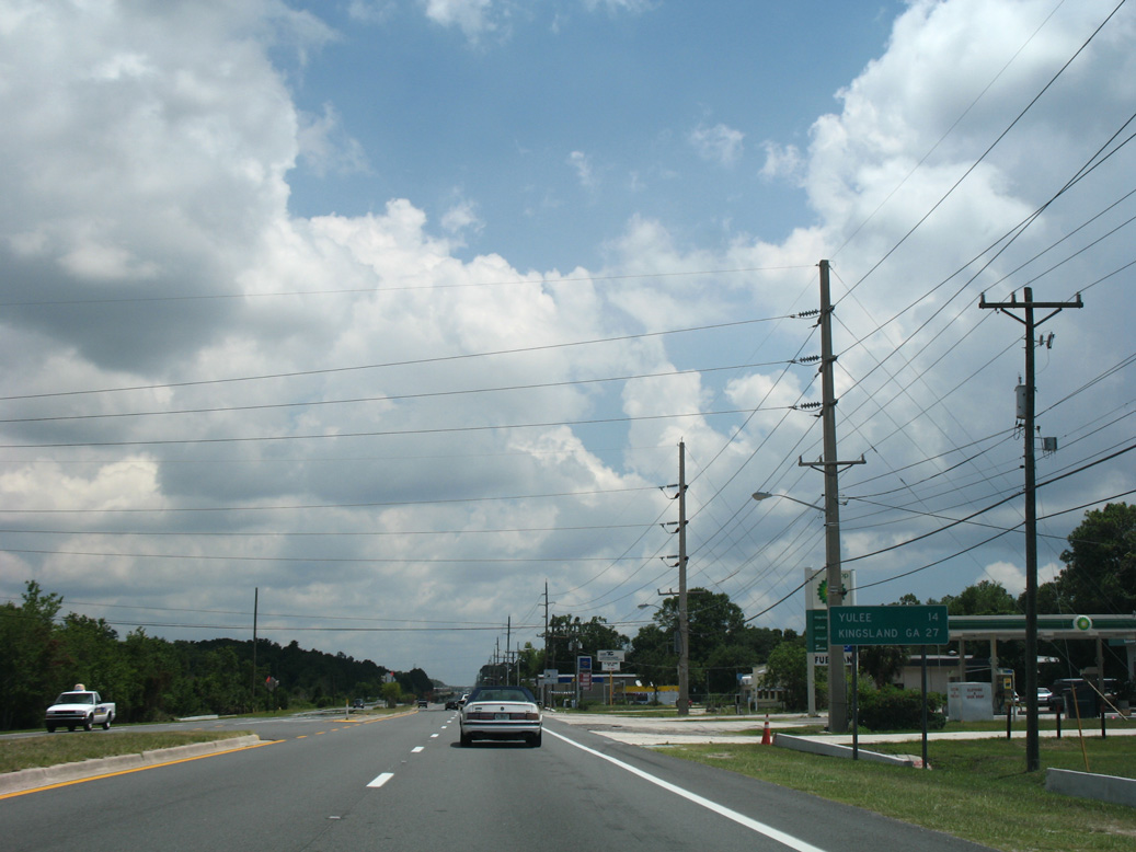
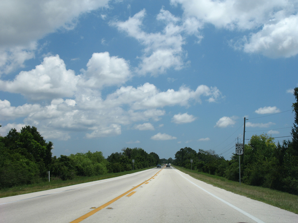
The community of Yulee centers around the cross roads of U.S. 17 and SR A1A/200.
06/14/08
06/14/08
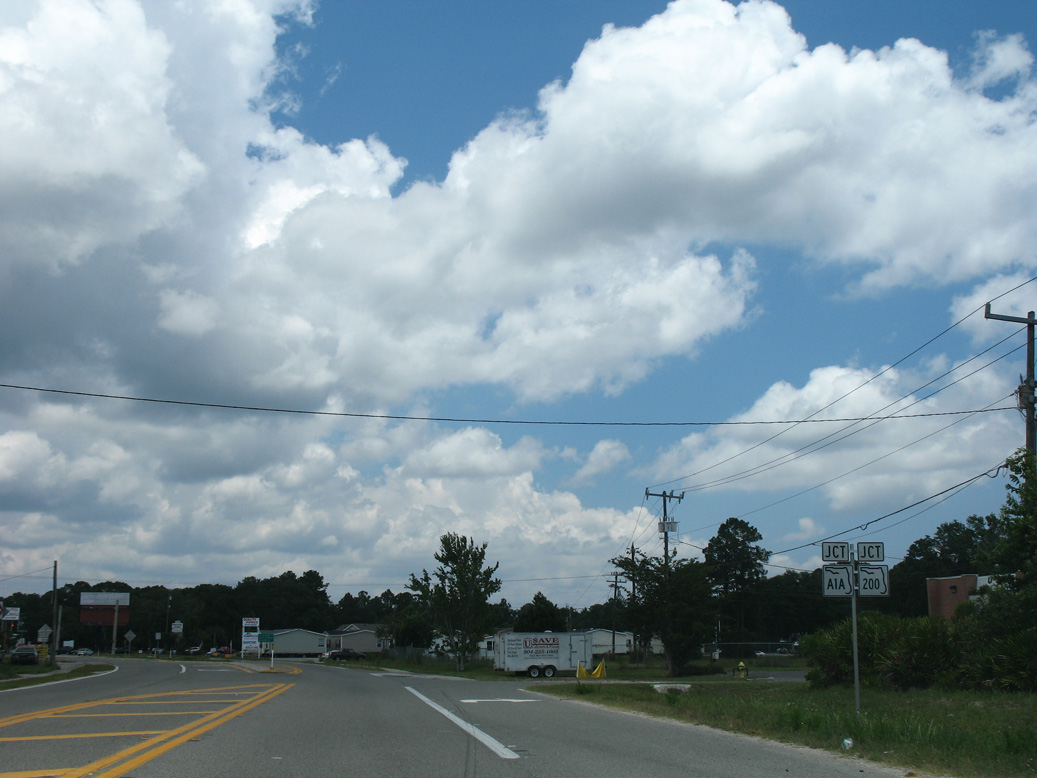
SR A1A/200 constitute a six lane arterial east to Old Nassauville Road en route to Amelia Island and west to Interstate 95 at Exit 373.
06/14/08
06/14/08
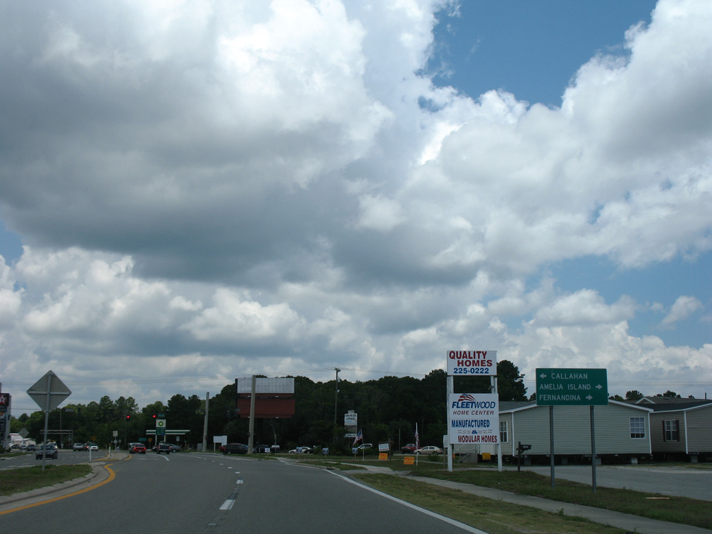
SR A1A/200 overlap west to U.S. 1/23/301 at Callahan and east to Fletcher Avenue along the Atlantic Ocean in Fernandina Beach.
06/14/08
06/14/08
06/14/08
06/14/08
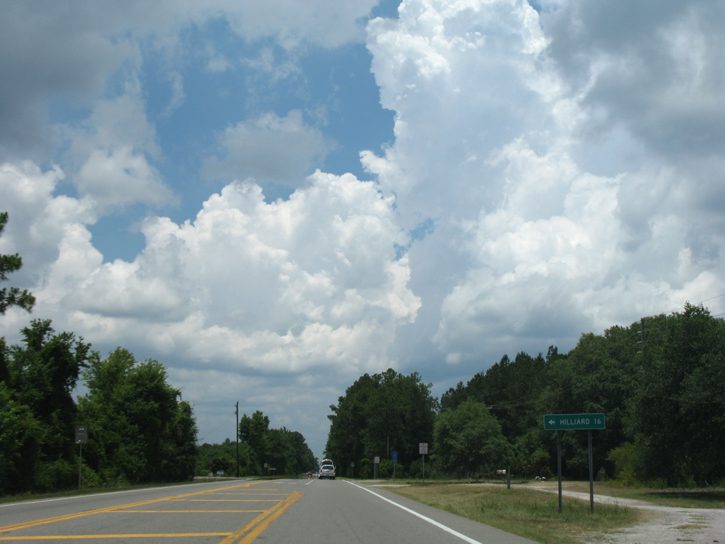
Nassau County Road 108 branches 16 miles west from U.S. 17 to the town of Hilliard.
06/14/08
06/14/08
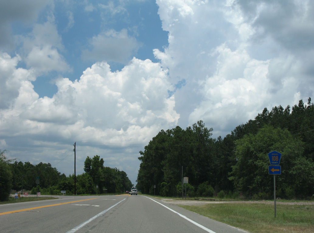
A 24.82 mile long route, CR 108 continues past Hilliard to CR 121 near the St. Mary's River across from Charlton County, Georgia.
06/14/08
06/14/08
06/14/08
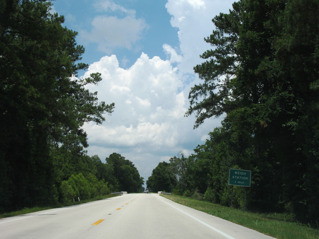
U.S. 17 crosses McQueen Swamp one mile south of a weigh station.
06/14/08
06/14/08

06/14/08
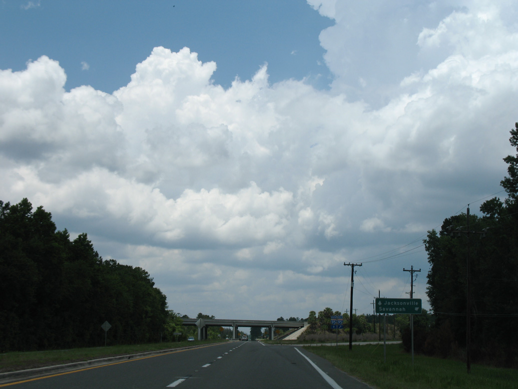
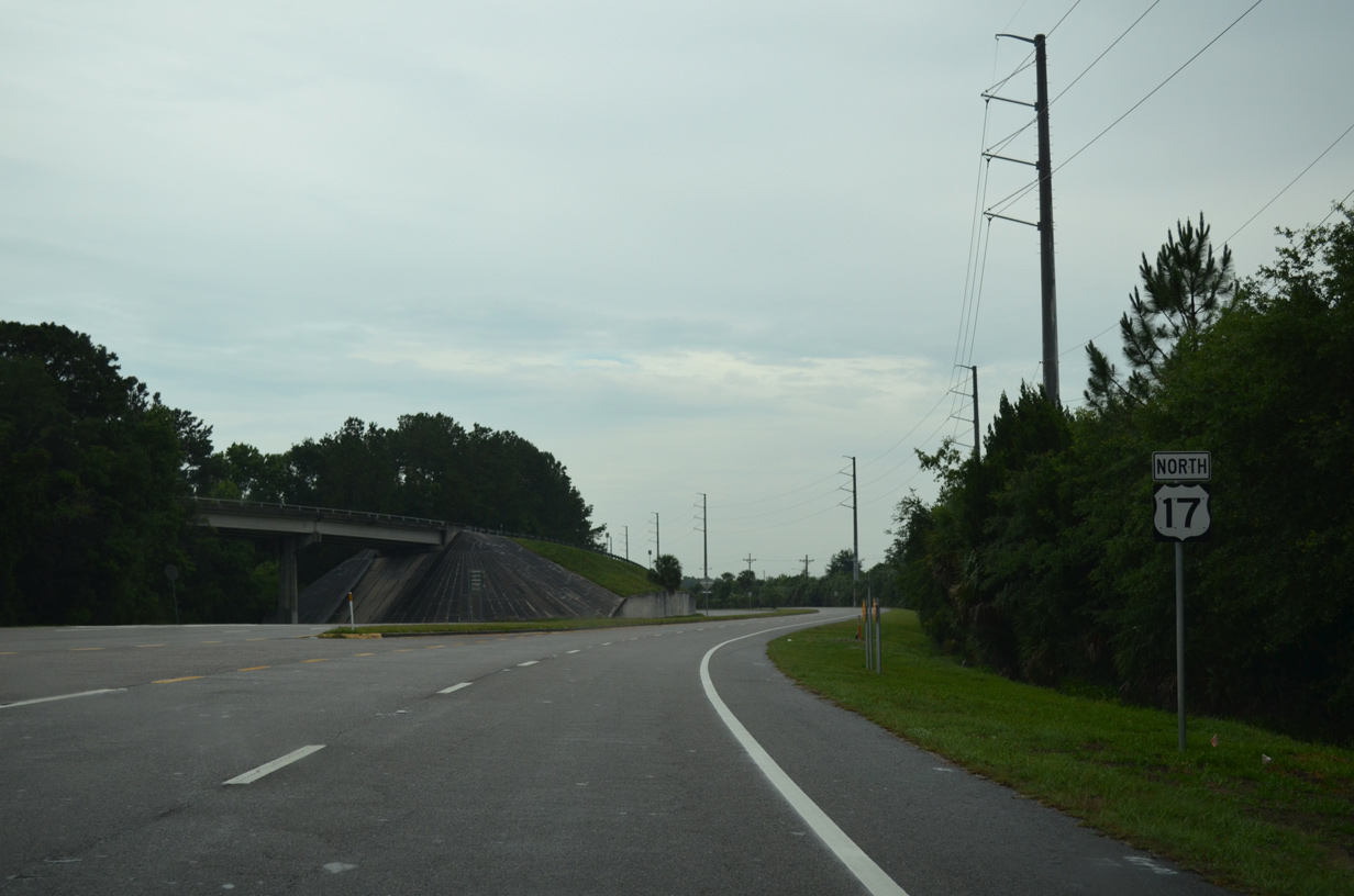
Remaining parallel to the CSX Railroad, U.S. 17 heads 6.9 miles northwest from SR A1A/200 at Yulee to a folded diamond interchange (Exit 380) with Interstate 95.
06/14/08
06/14/08
06/14/08
03/10/22
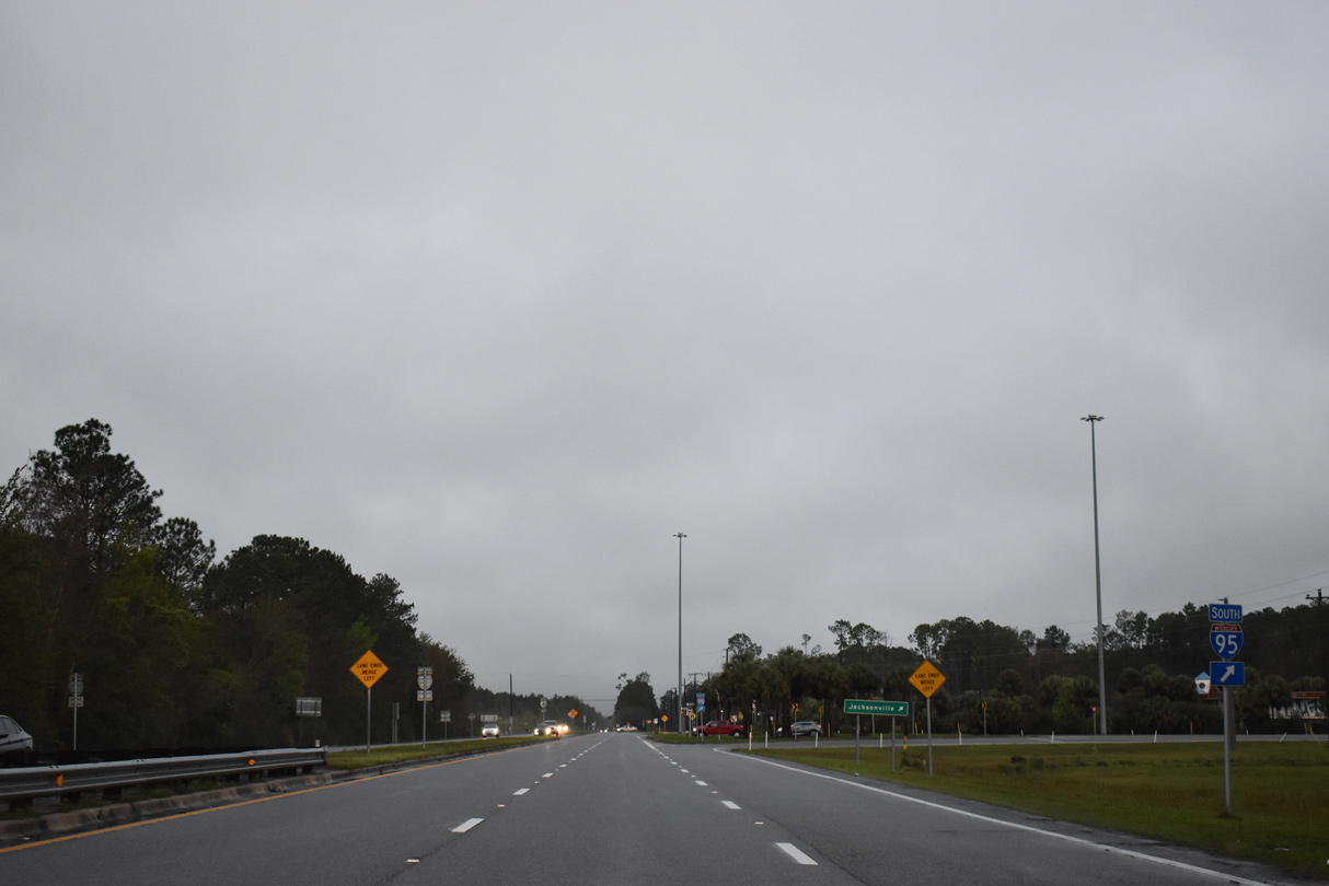
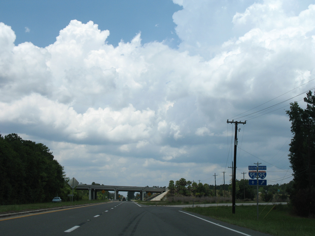
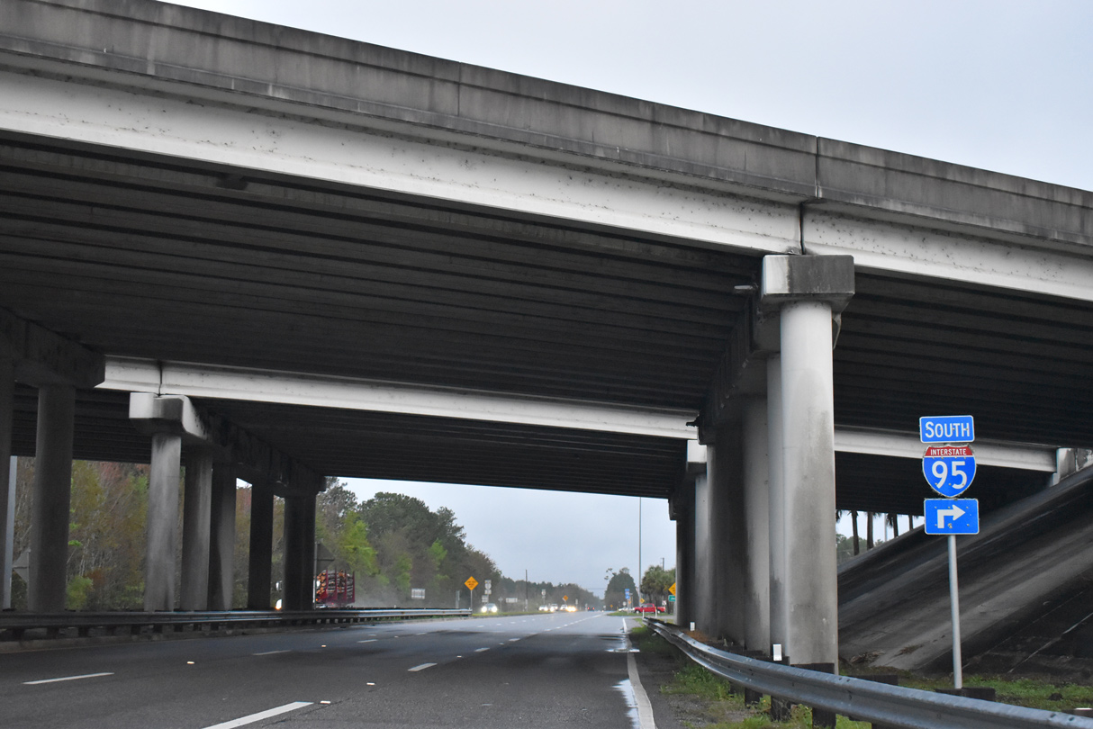
U.S. 17 meets Interstate 95 at the first exit southbound in Florida.
03/10/22
03/10/22
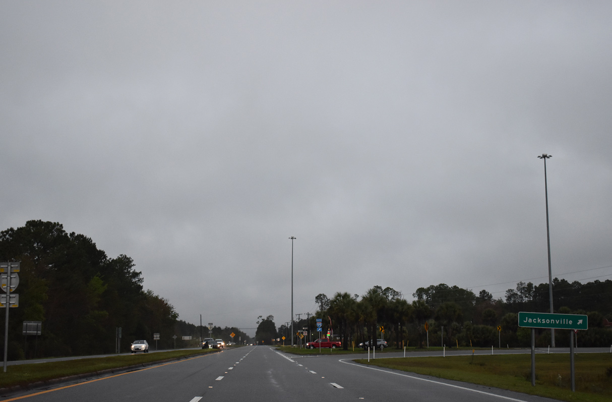
Jacksonville is 27 miles to the south along Interstate 95.
03/10/22
03/10/22

03/10/22
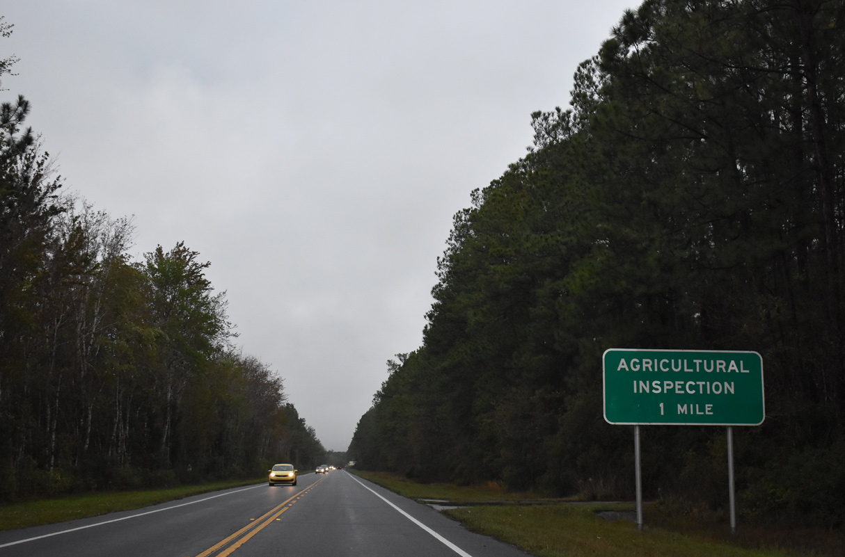
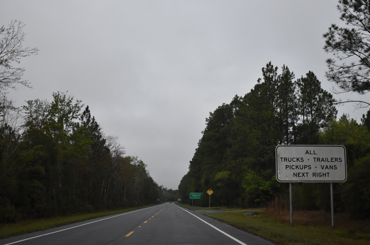
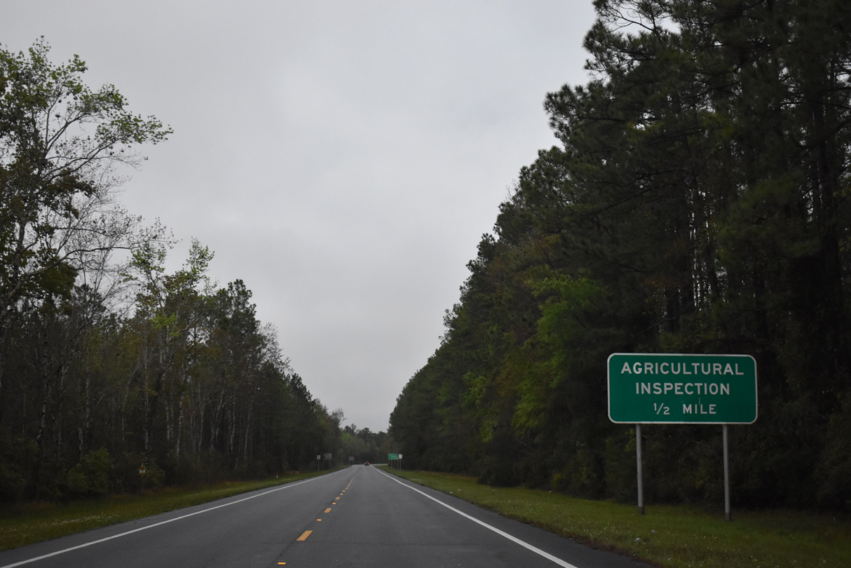
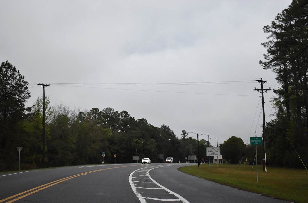
An agricultural inspection station lines U.S. 17 at the intersection with Owens Farm Road in one mile.
03/10/22
03/10/22
03/10/22
03/10/22
03/10/22
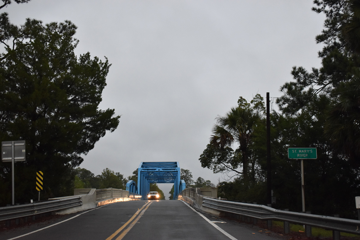
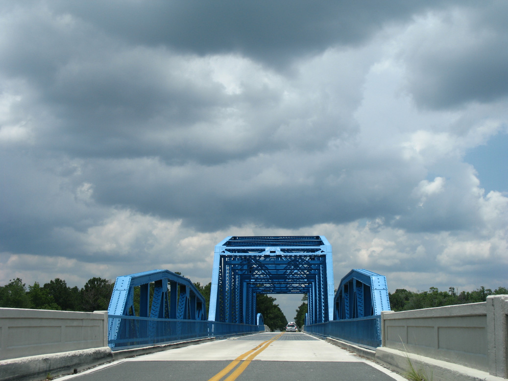
The St. Mary's River represents the boundary of Florida and Camden County, Georgia.
03/10/22
03/10/22
06/14/08
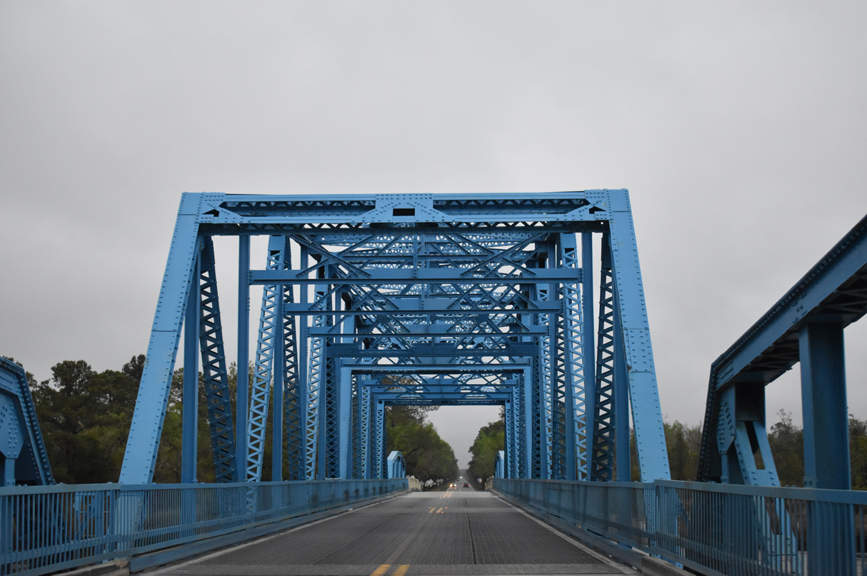
U.S. 17 spans the St. Mary's River across a warren through truss swing bridge built in 1927 (Baughn, n.d.).
03/10/22
03/10/22


References:
Baughn, J. (n.d.). St. Marys River Bridge. Bridgehunter.com. https://bridgehunter.com/fl/nassau/740008/
Photo Credits:
- Alex Nitzman: 06/14/08
- ABRoads, JP Nasiatka: 06/16/16
- ABRoads: 03/26/20
- Brent Ivy: 03/10/22
Connect with:
Page Updated Friday July 15, 2022.