
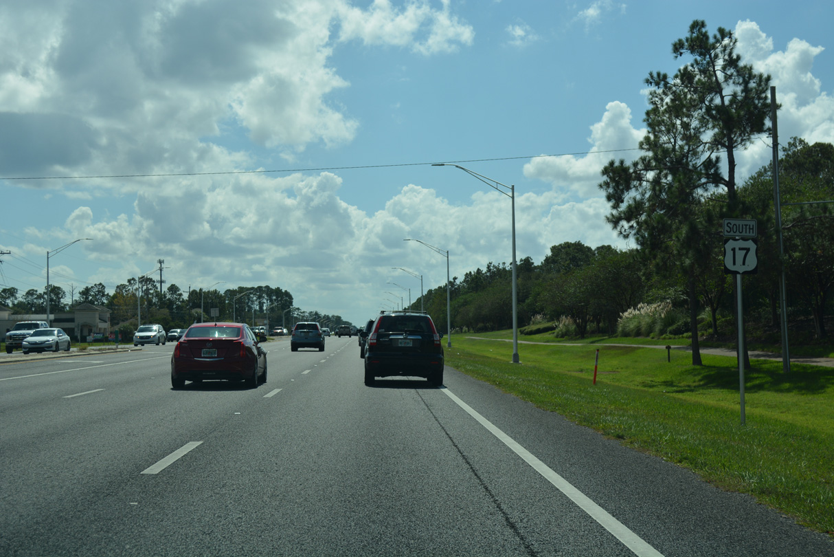
U.S. 17 South - Fleming Island to Green Cove Springs

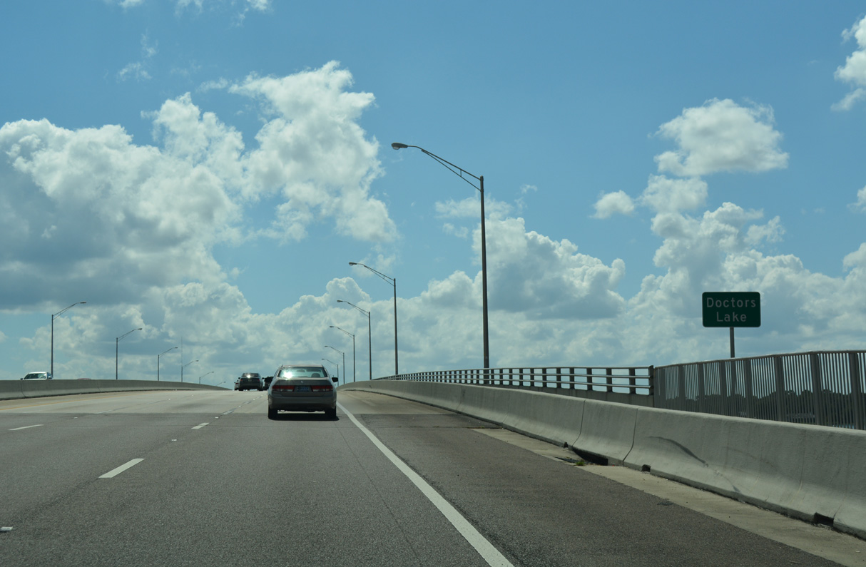
Doctors Lake separates Orange Park from Creighton Island and Fleming Island.
10/06/18
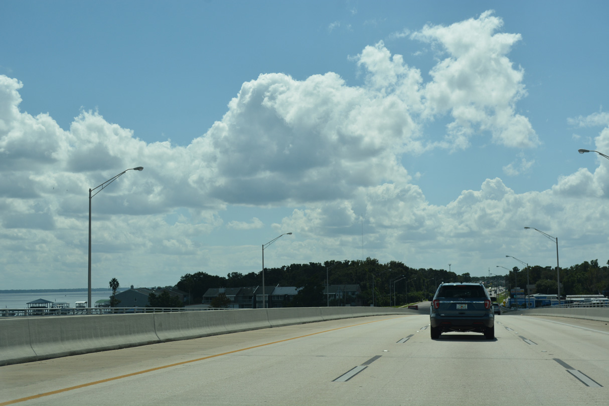
U.S. 17 crosses Doctors Inlet south onto Creighton Island between Romeo Point and the St. Johns River.
10/06/18
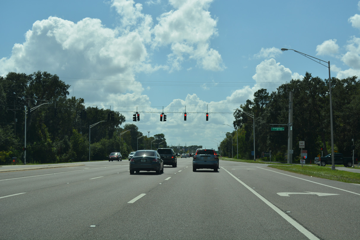
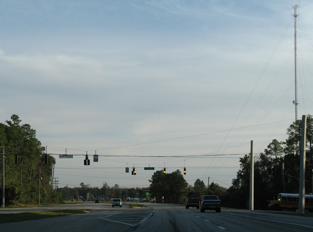
Traffic lights were added along U.S. 17 south at Creighton Road west after 2009. Creighton Road spurs west across Creighton Island toward Romeo Point.
10/06/18
Reassurance marker posted south of Creighton Road on Creighton Island.
10/06/18
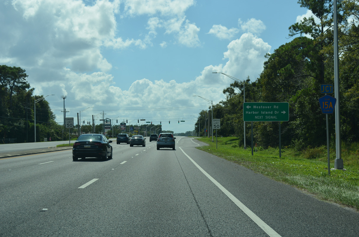
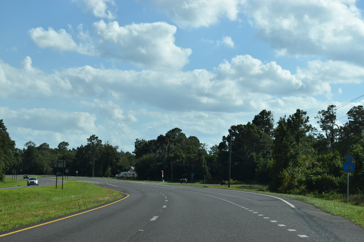
Westover Road spurs southeast to a neighborhood along the St. Johns River from U.S. 17 at the traffic light with Harbor Island Drive east. The junction shield for CR 15A was removed by 2022.
10/06/18
Westover Road is a spur of CR 15A, though the residential street is not inventoried by FDOT GIS as a county road. Harbor Island Drive west is the entrance to the Harbor Island development.
10/06/18
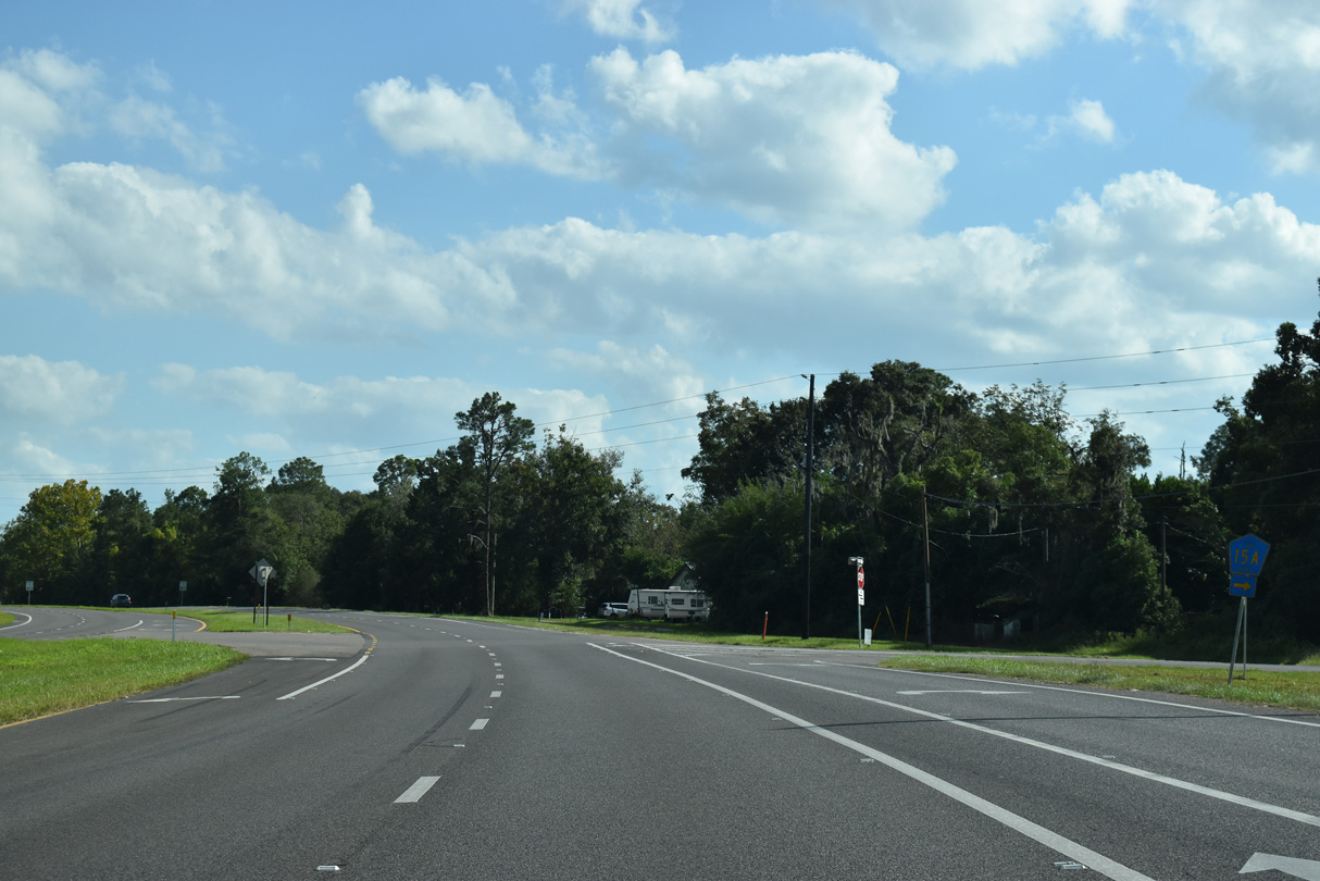
U.S. 17 proceeds south from Creighton Island cross Moccasin Slough.
10/06/18
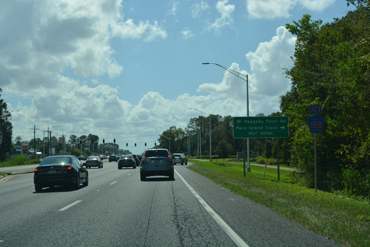
South of Moccasin Slough, Raggedy Point Road (CR 15B) ties into U.S. 17 across from the entrance to the Pace Island gated community.
10/06/18
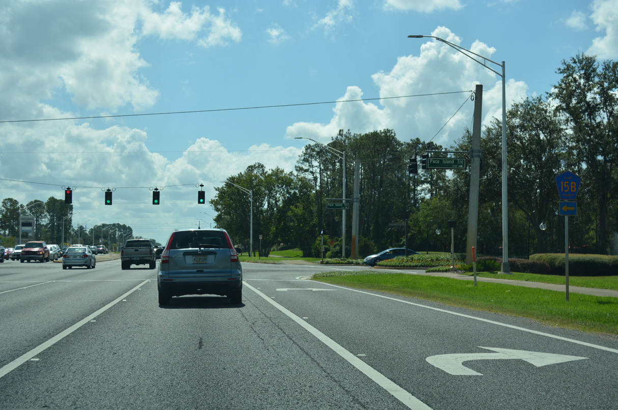
CR 15B (Raggedy Point Road) arcs southeast from U.S. 17 to Pine Avenue. Pine Avenue parallels U.S. 17, 1.02 miles south to become part of CR 15A at Bald Eagle Road.
10/06/18
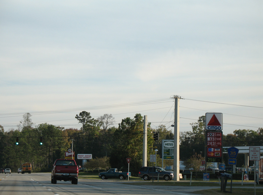
Businesses line the east side of U.S. 17 on the ensuing stretch south by the Pace Island development.
10/06/18
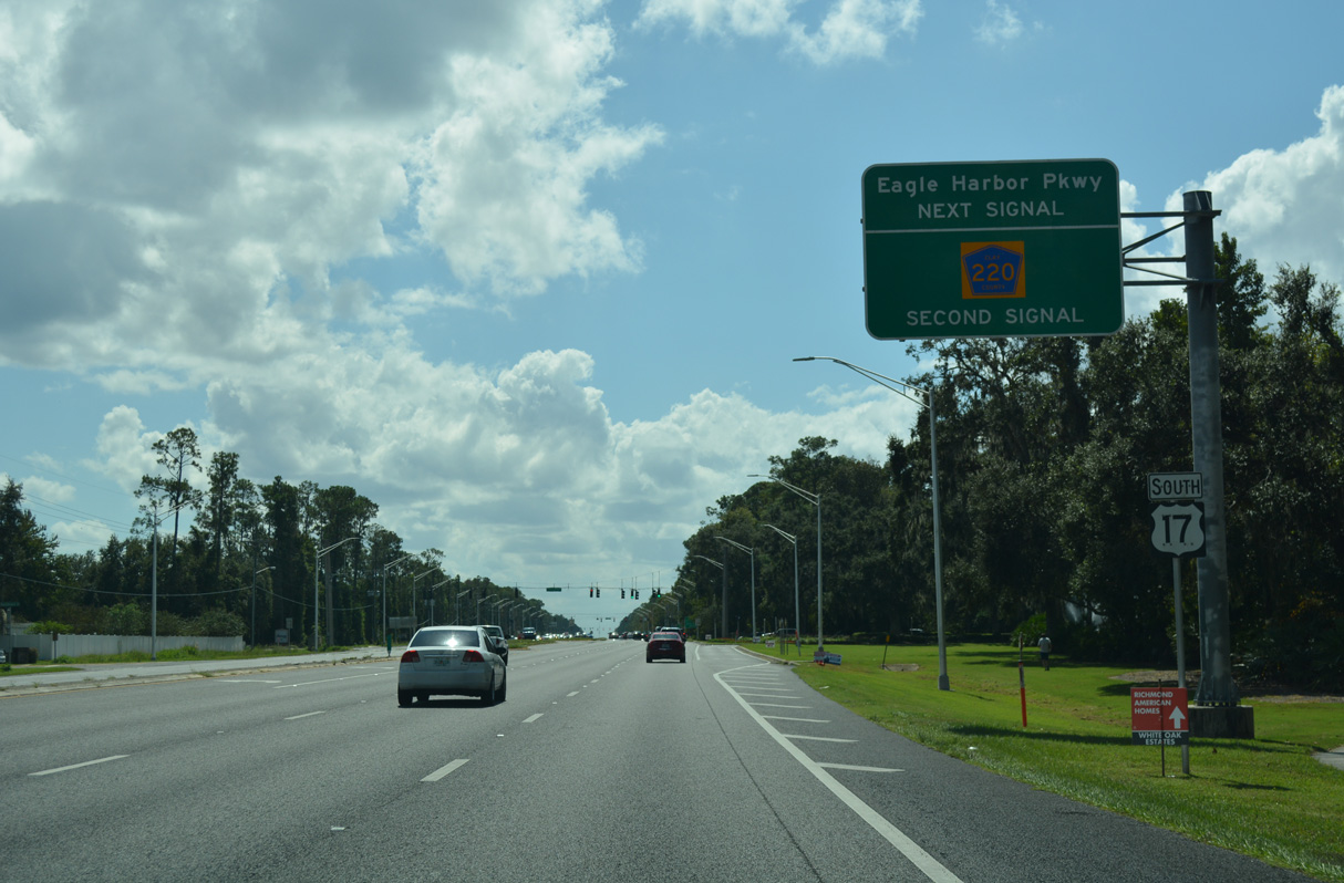
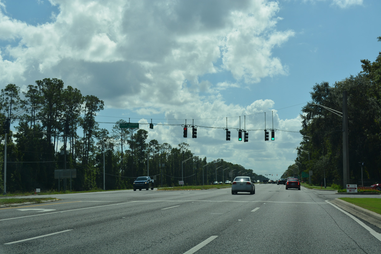
Eagle Harbor Parkway intersects U.S. 17 ahead of the commercialized stretch along County Road 220 (Doctors Inlet Road).
10/06/18
Eagle Harbor Parkway winds west to the Eagle Harbor Golf Club community, which spreads northwest along Fleming Island to Catfish Point on Doctors Lake.
10/06/18
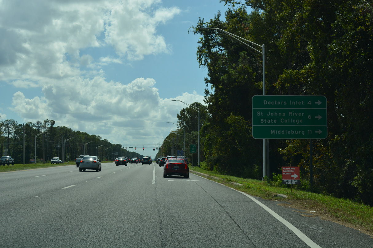
CR 220 (Doctors Inlet Road) travels 9.77 miles west from U.S. 17 to Doctors Inlet, Rattlesnake Bend and SR 21 (Blanding Boulevard) at Middleburg.
10/06/18
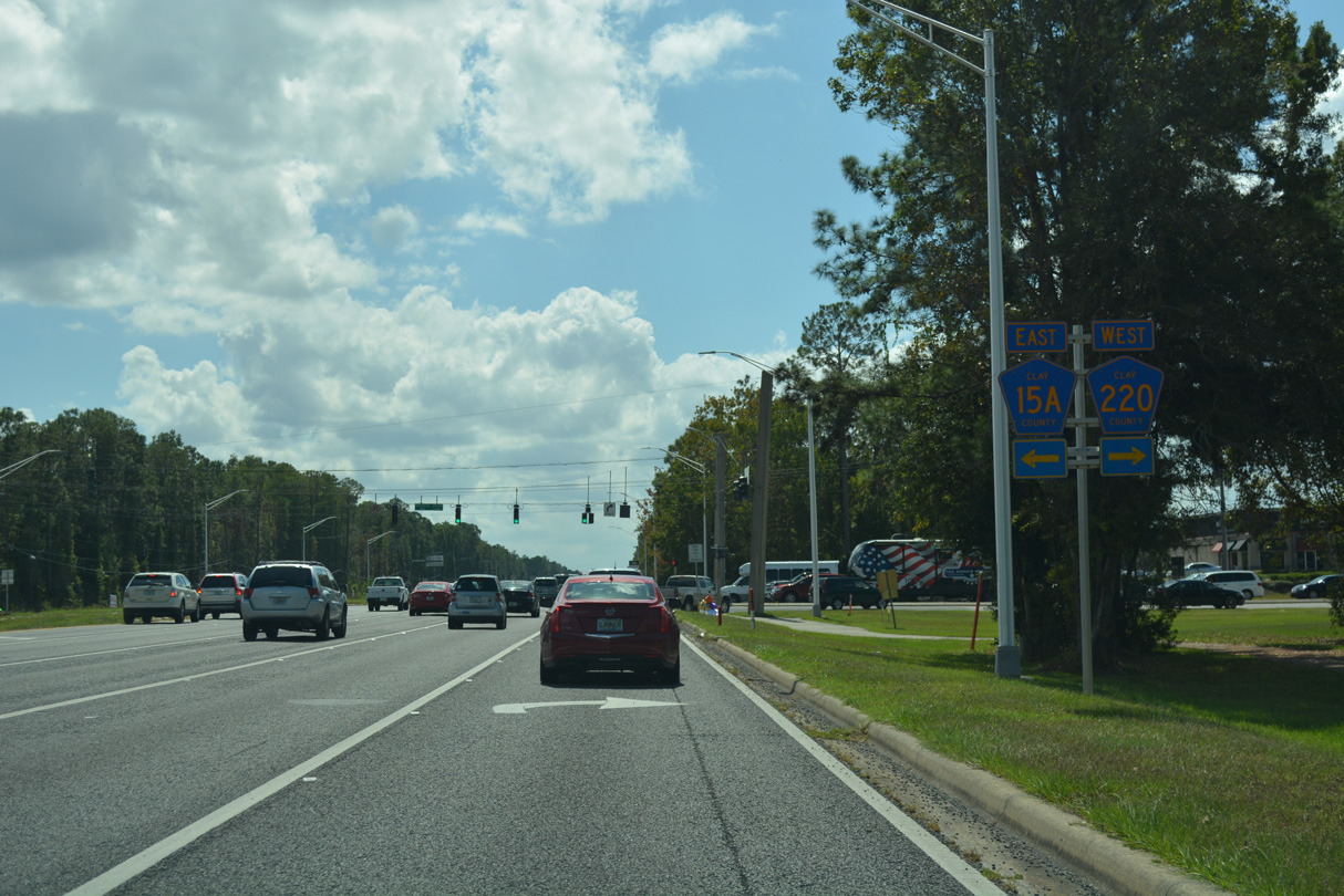
Bald Eagle Road east to Pine Avenue is part of CR 15A, which comprises a 3.33 mile long loop south to Hibernia and Hibernia Road.
10/06/18
Advancing past the Fleming Island Golf Club, U.S. 17 meets the south end of CR 15A on Fleming Island at Hibernia Road.
11/13/06
CR 15A angles southeast along Hibernia Road to Pine Avenue north from the Hibernia community. Fleming Plantation Road west leads to Town Center Boulevard and the Fleming Plantation development.
11/13/06
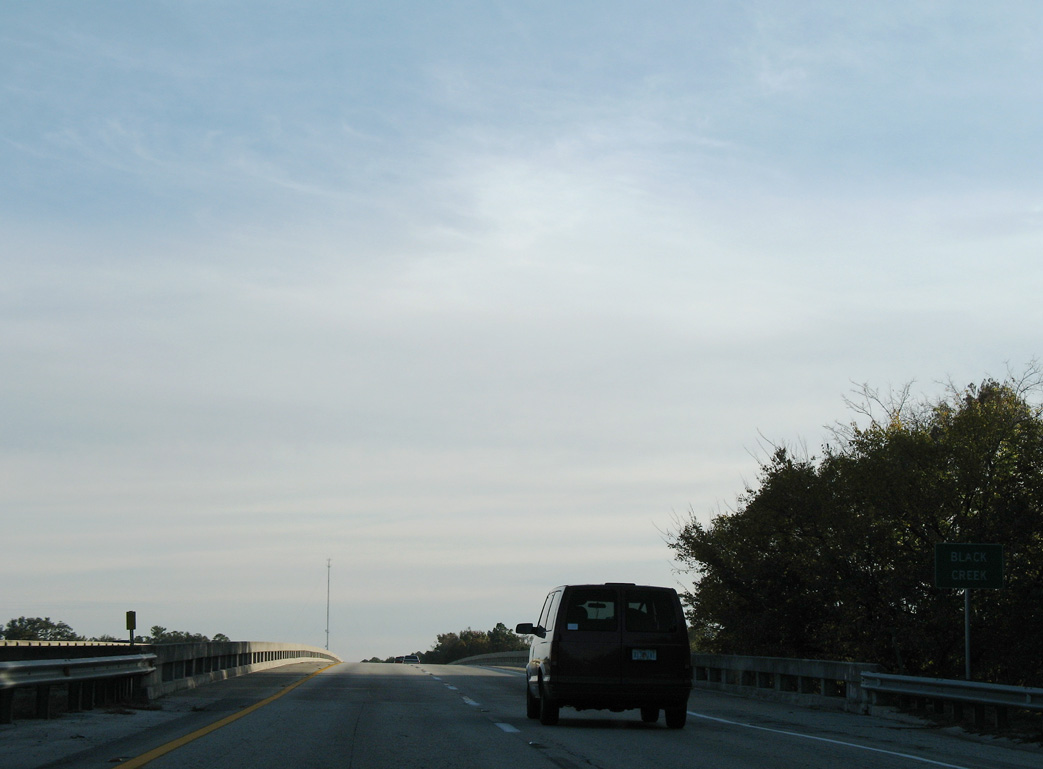
U.S. 17 spans Black Creek south from Fleming Island.
11/13/06
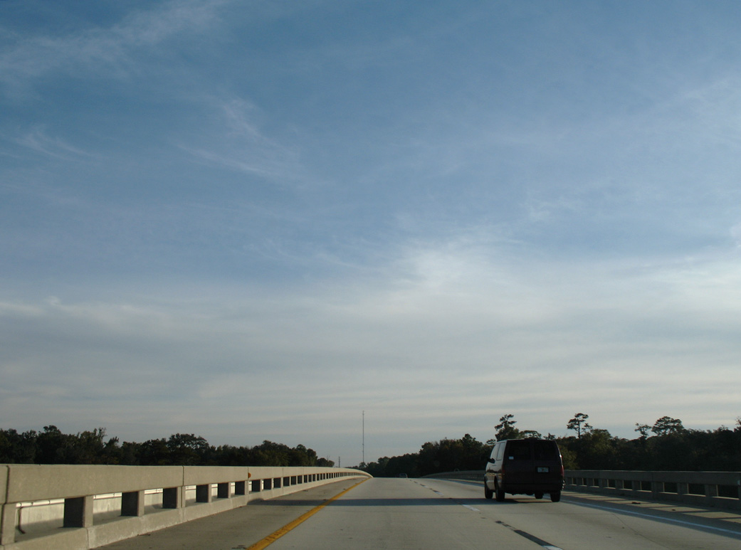
U.S. 17 crosses Black Creek between Camp Chowenwaw Park and Wilkies Point along the St. Johns River.
11/13/06
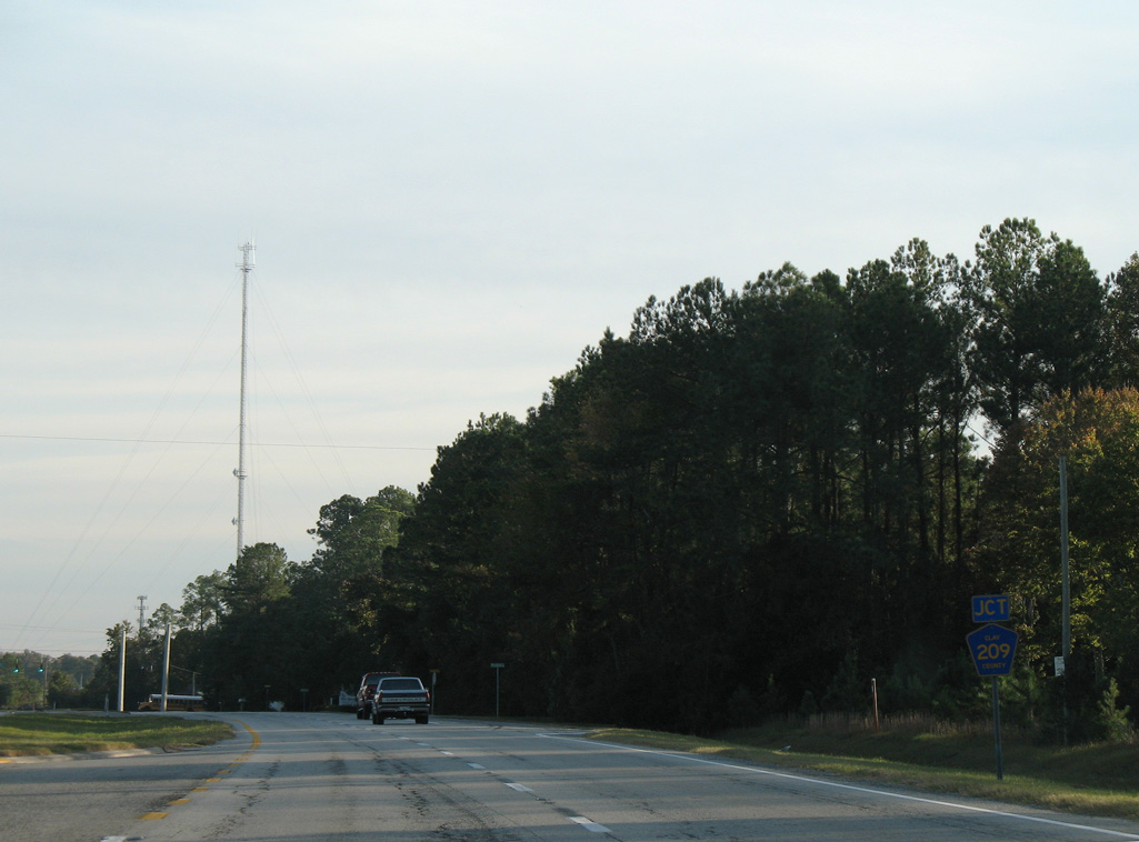
Separate branches of CR 209 come together at succeeding intersections along U.S. 17 south. The eastern leg comprises a 2.03 mile long loop along Riverside Road to Magnolia Springs.
11/13/06
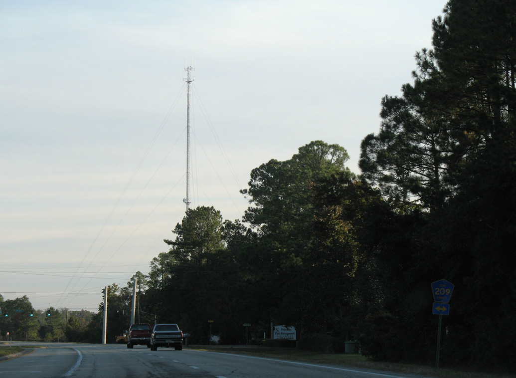
CR 209 west follows Russell Road 7.30 miles to CR 739 (Henley Road) near Rattlesnake Bend and Middleburg.
11/13/06
CR 209 (Russell Road) west to CR 315B south provides a cutoff to CR 315 and Cathedral Oak Parkway (CR 216).
11/13/06
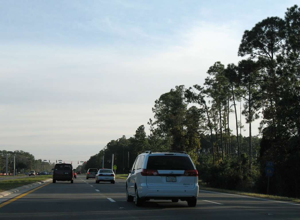
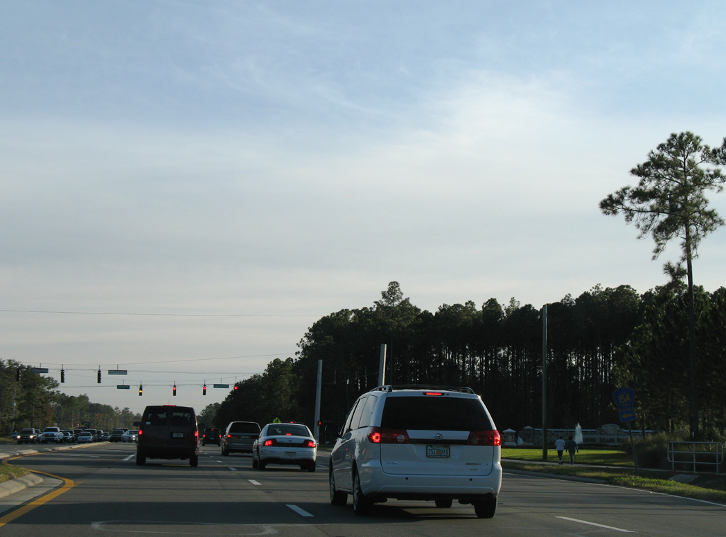
The north end of CR 315 ties into U.S. 17 at the next traffic light south of CR 209 (Russell Road). CR 315 encircles Green Cove Springs south to SR 16.
11/13/06
U.S. 17 crosses Governors Creek south ahead of this reassurance marker in Green Cove Springs.
11/13/06
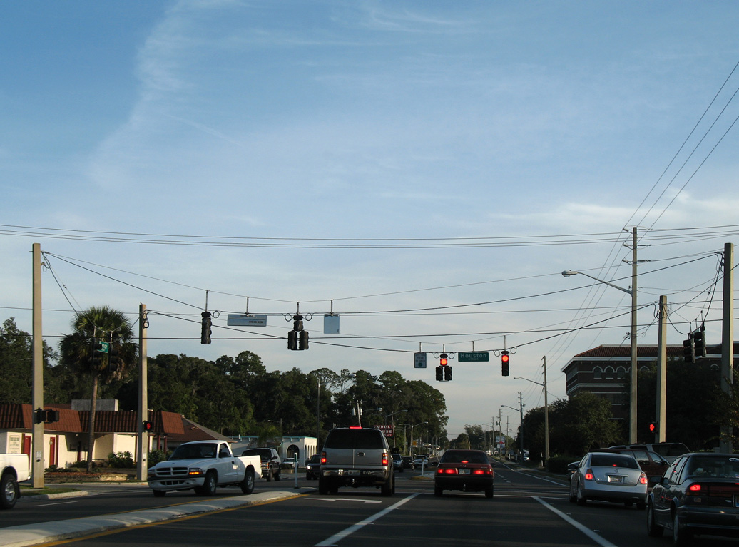
The Clay County Courthouse complex lines the west side of U.S. 17 (Orange Avenue) between Grove and Houston Streets in Green Cove Springs.
11/13/06
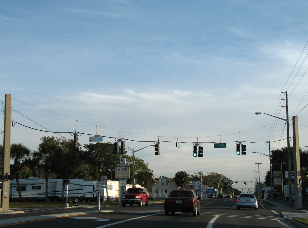
Orange Avenue continues south into the Green Cove Springs business district at Gum Street.
11/13/06
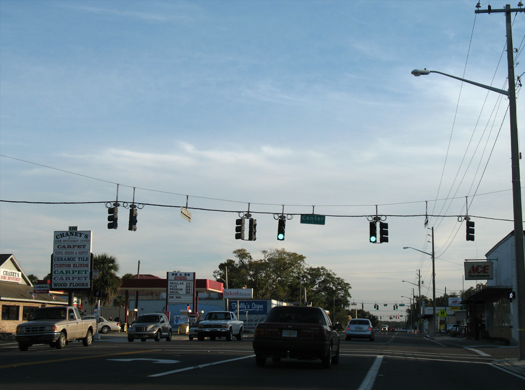
Orange Avenue south at Center Street in Green Cove Springs.
11/13/06
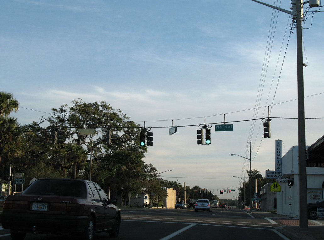
Walnut Street intersects U.S. 17 (Orange Avenue) two blocks west of the City Pier on the St. Johns River.
11/13/06
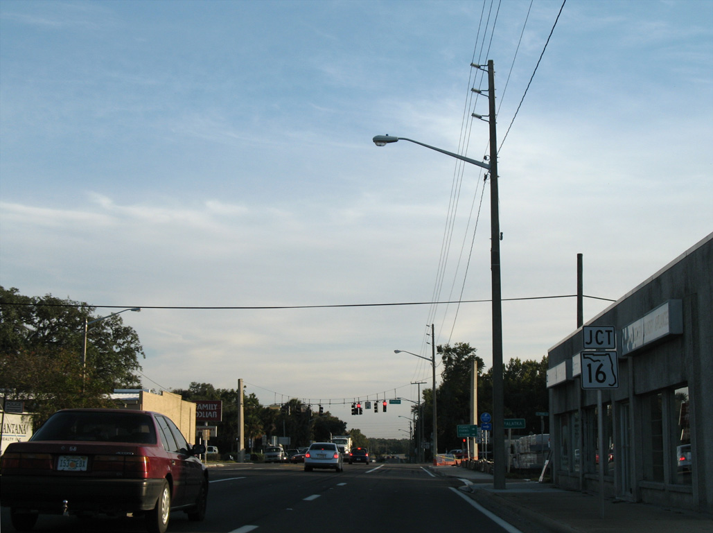
SR 16 (Ferris Street) enters Green Cove Springs east from Penney Farms and the First Coast Expressway (SR 23).
11/13/06
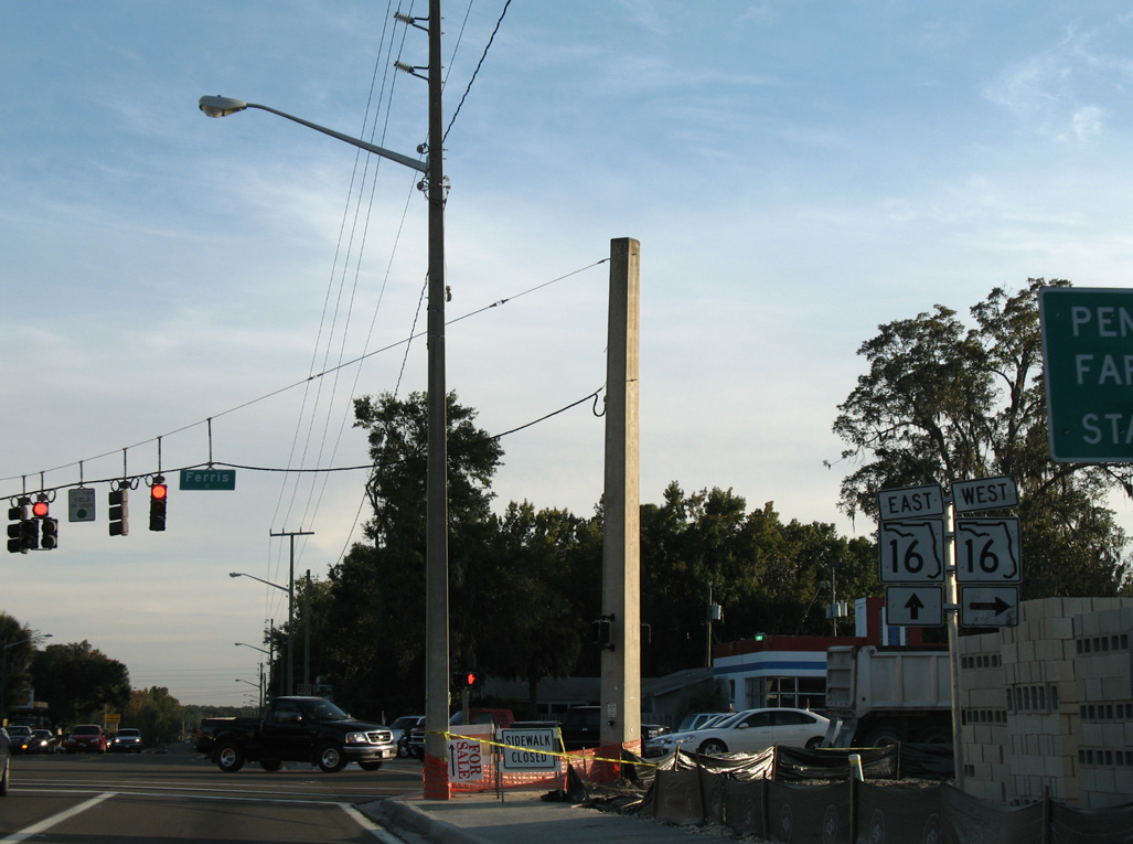
SR 16 travels west to Camp Blanding and the Bradford County seat of Starke.
11/13/06
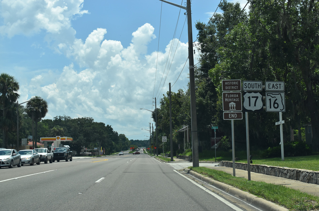
SR 16 east combines with U.S. 17 (Orange Avenue) south for 0.63 miles in Green Cove Springs.
07/28/18
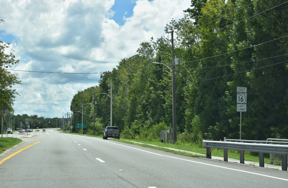
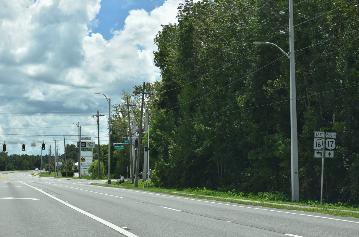
U.S. 17/SR 16 leave the Green Cove Springs street grid across Green Cove Springs Nature Preserve. SR 16 resumes east from U.S. 17 at the signalized intersection with Cooks Lane.
08/12/25
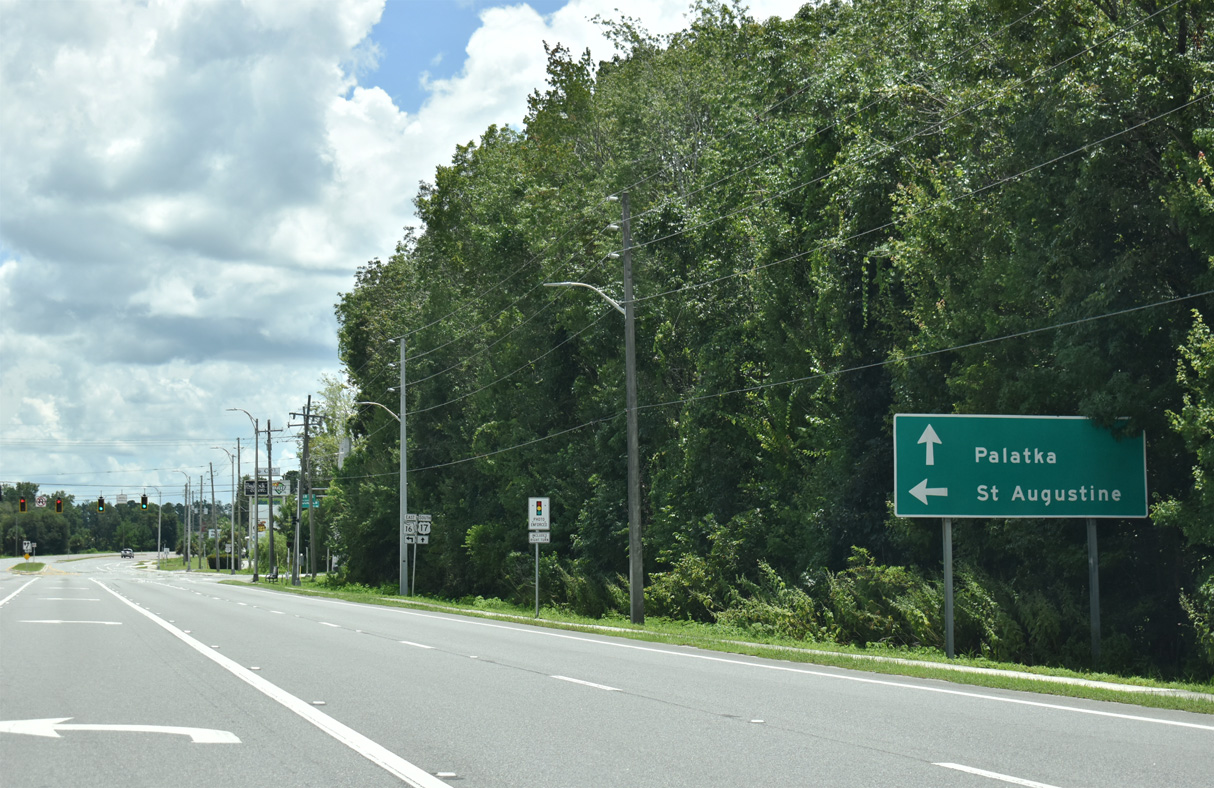
SR 16 (Leonard C. Taylor Parkway) continues east past Reynolds Airpark (FL60) to the Shands Bridge spanning the St. Johns River. The state road travels across St. Johns County to U.S. 1 in St. Augustine.
08/12/25
Construction through 2030 replaces the Shands Bridge along SR 16 with an extension of the First Coast Expressway (SR 23). The toll road will overtake SR 16 east from Reynolds Airport (FL60) and join Green Cove Springs with Interstate 95.
08/12/25
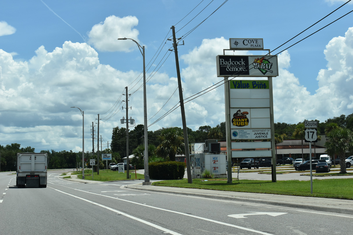
U.S. 17 confirming marker posted south of SR 16 by Cove Plaza shopping center.
08/12/25
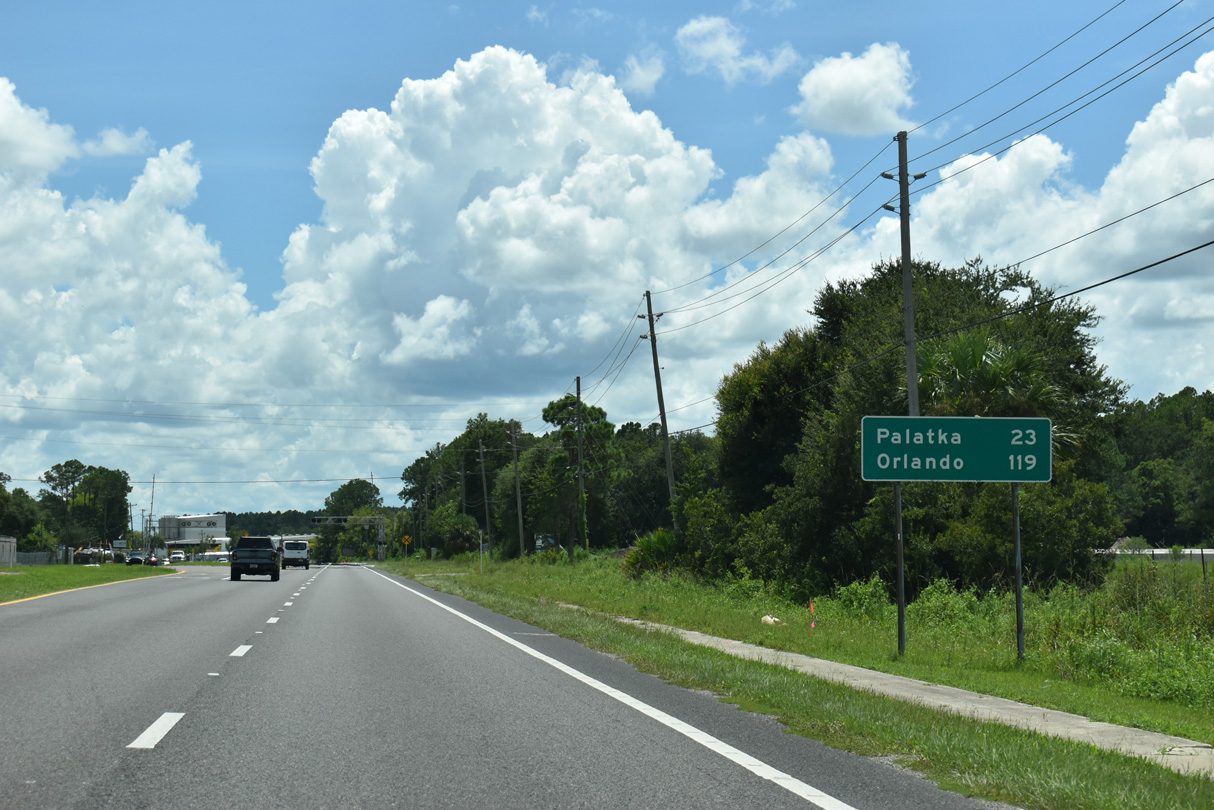
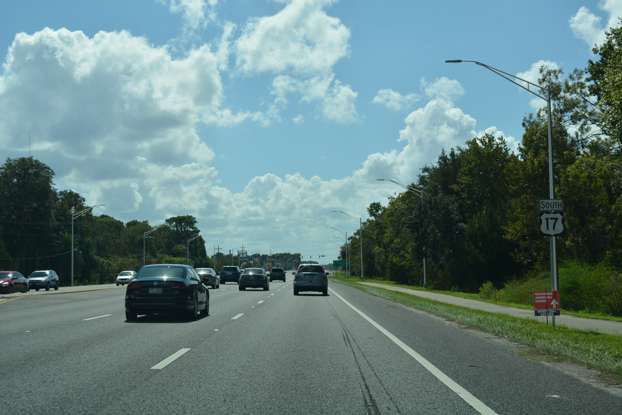
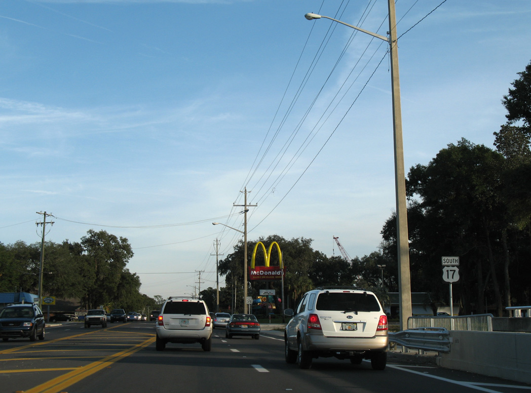
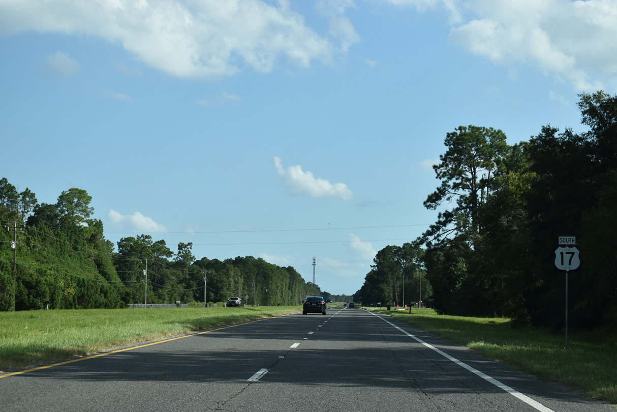
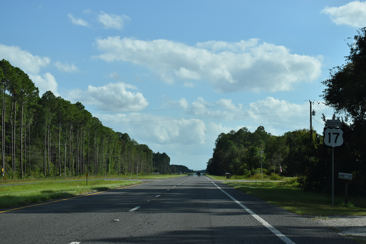
U.S. 17 travels 23.5 miles south to SR 100 in the Putnam County seat of Palatka.
08/12/25
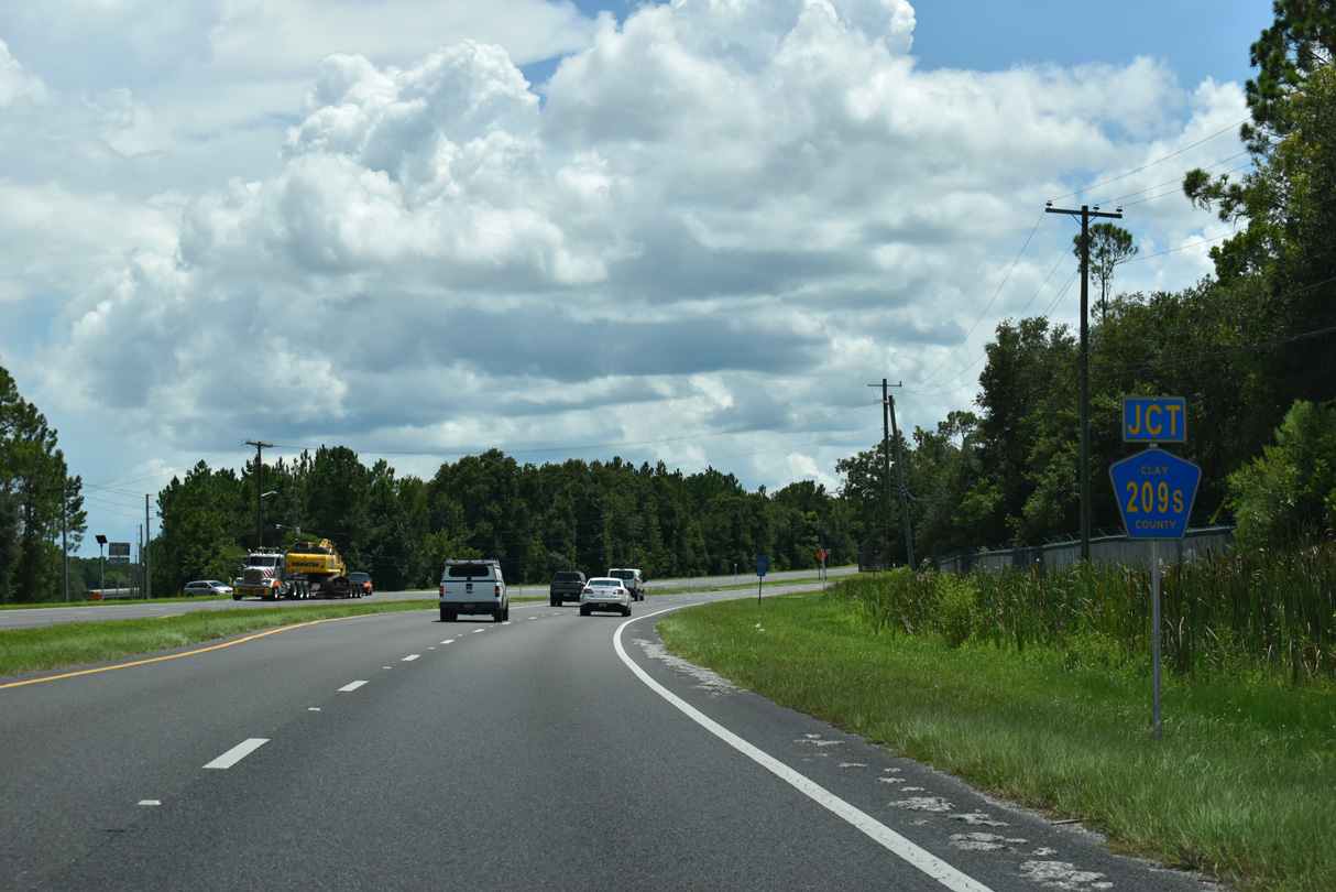
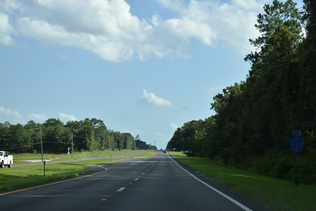
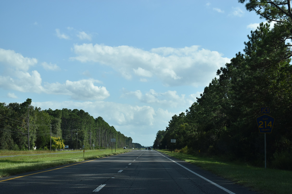
Signed as CR 209S, the southern branch of Clay County Road 209 runs 8.14 miles south along J.P. Hall, Jr. Memorial Highway to CR 214 (Decoy Road).
08/12/25
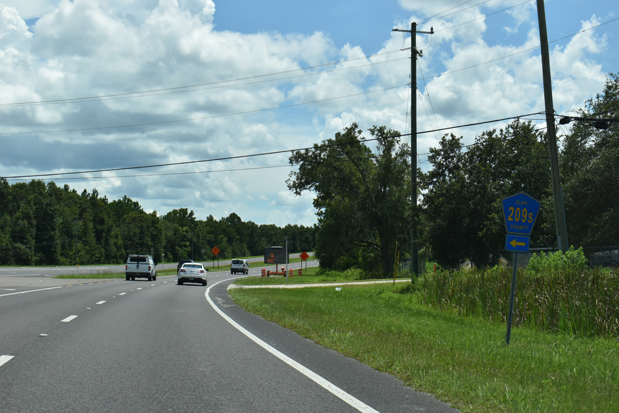
CR 209S travels along Bayard Conservation Area to CR 226 at Walkill en route to Brewers landing along the St. Johns River.
08/12/25
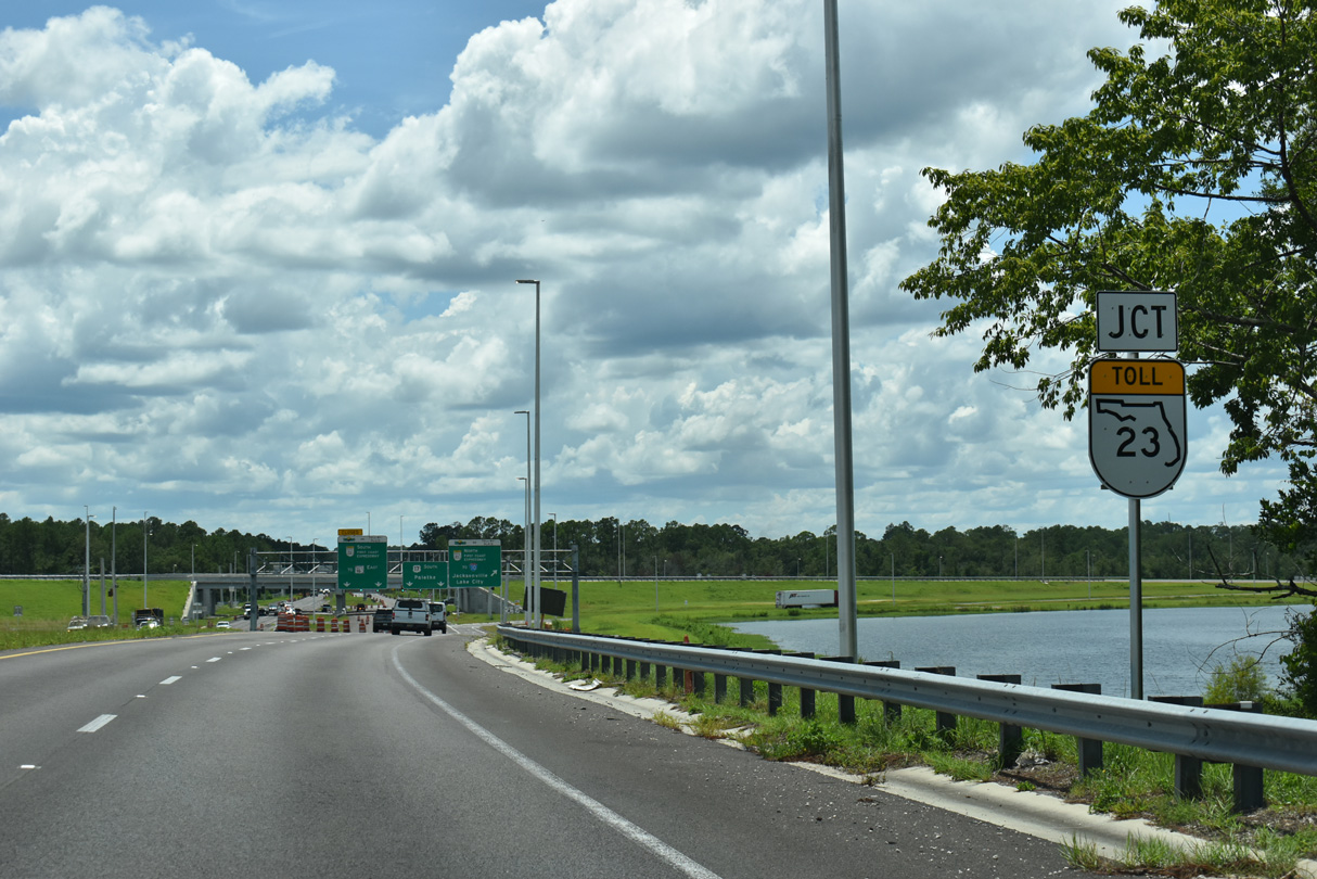
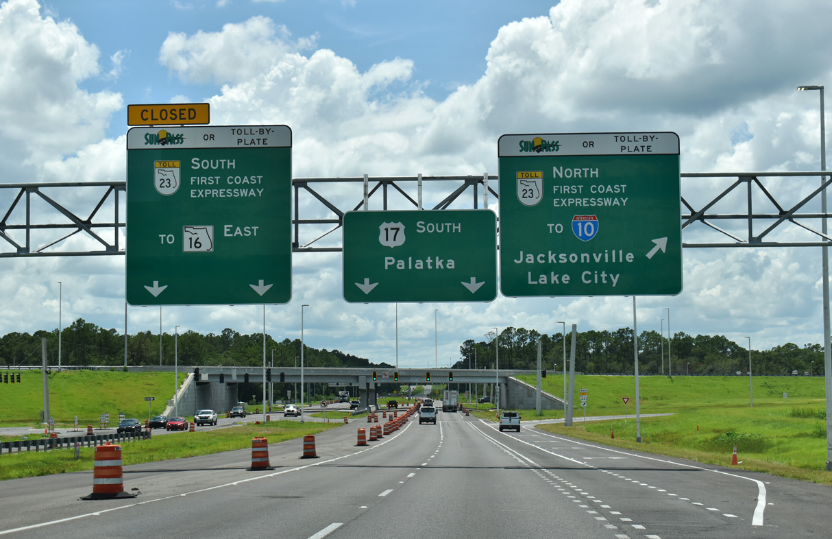
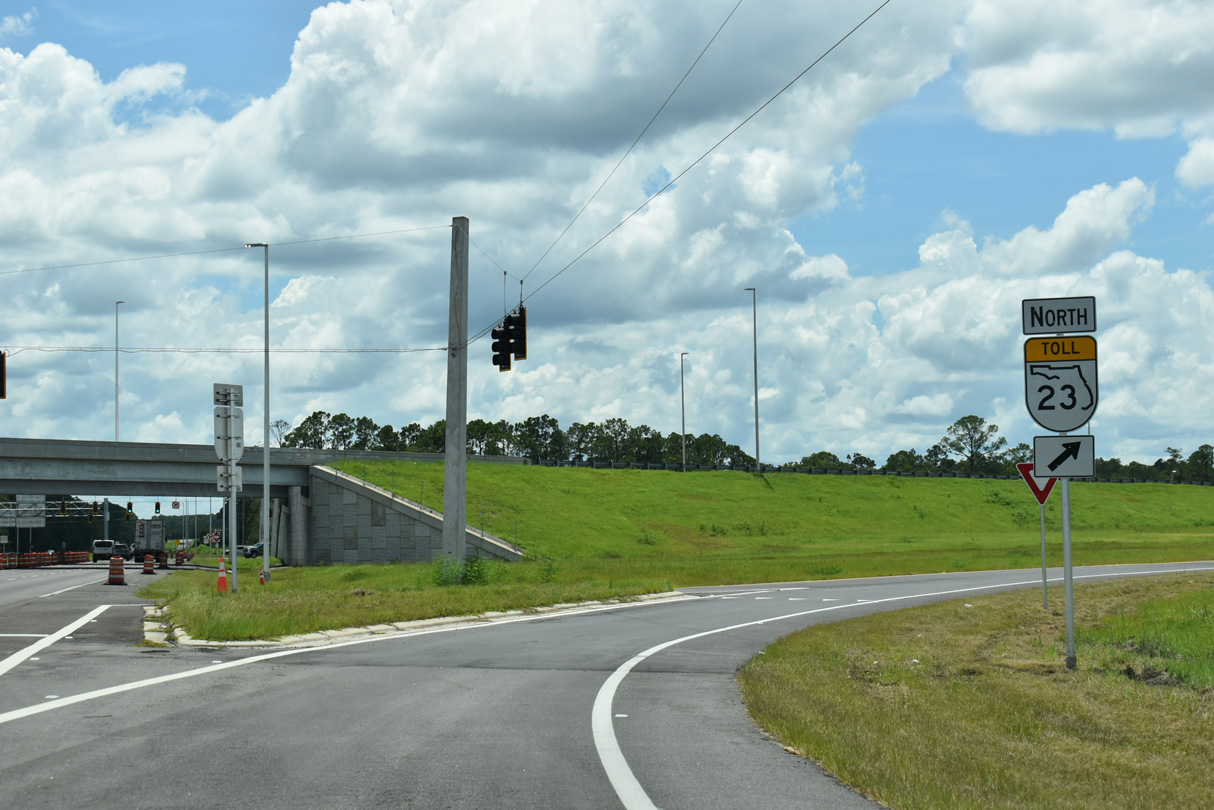
Curving southwest, U.S. 17 spans a CSX Railroad line ahead of the diamond interchange (Exit 13) with the First Coast Expressway.
08/12/25
The First Coast Expressway opened to traffic north from U.S. 17 to SR 21 (Blanding Boulevard) at Middleburg on August 9, 2025.
08/12/25
The overall planned route of SR 23 measures 46 miles from I-10 in west Jacksonville to I-95 south of Sampson in St. Johns County. Construction on the remainder of the toll road east runs through 2030.
08/12/25
CR 15A along Oakridge Avenue ties into U.S. 17 south across from Bayard Wildlife Management Area.
09/05/22
3.69 miles in length, the southern leg of Clay County Road 15A (Oakridge Avenue) provides an alternate route north to SR 16 in Green Cove Springs.
09/05/22
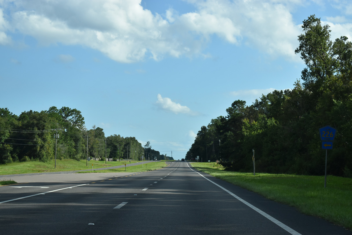
CR 226 traverses Bayard Conservation Area northeast from U.S. 17, 1.76 miles to CR 209 at Walkill.
09/05/22

The confirming marker for U.S. 17 south of CR 226 was removed after 2009.
11/13/06
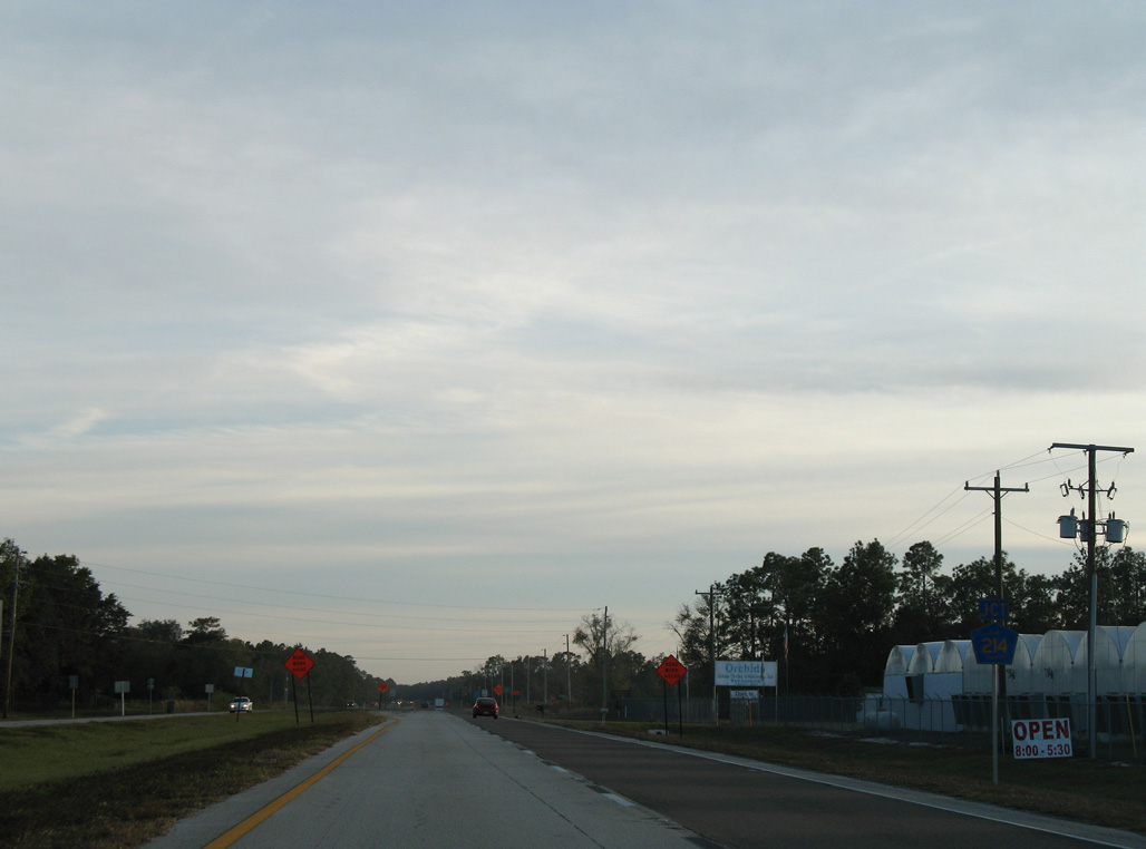
U.S. 17 south of Airpark Road.
09/25/22
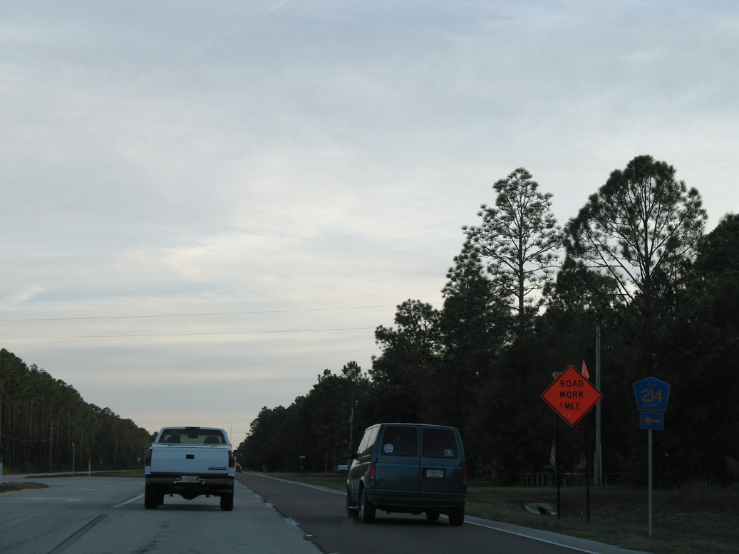
The eastern section of Clay County Road 214 stems 2.7 miles east from U.S. 17 to CR 209 near West Tocoi and Willis Point along the St. Johns River.
09/25/22
11/13/06
U.S. 17 continues one mile south from the east leg of CR 214 to the western branch along Sungarden Road.
09/25/22
The shield for CR 214 west at Sungarden Road was removed from U.S. 17 south by 2011. Straddling the Putnam County line nine miles west to S Bellamy Road, the entire length of Sungarden Road is unpaved.
11/13/06
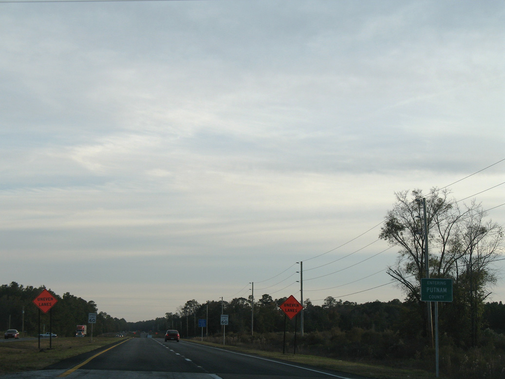
U.S. 17 south enters Putnam County.
11/13/06
Photo Credits:
- ABRoads: 07/28/18, 10/06/18, 09/05/22, 09/25/22
- Alex Nitzman: 11/13/06, 08/12/25
Connect with:
Page Updated Thursday August 14, 2025.