
U.S. 19 North - Bryson City to Lake Junaluska

 North
North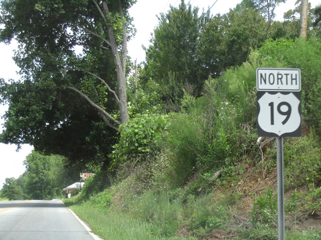
U.S. 74 turns north from Alarka Road and U.S. 74 at SR 1373 (Dehart Cemetary Road) and SR 1309 (Lower Alarka Road) 3.1 miles to Slope Street in Bryson City.
08/13/04
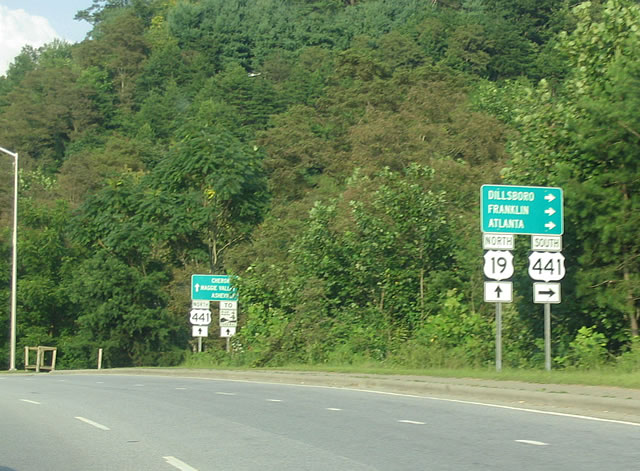
U.S. 19 combines with U.S. 441 for 0.48 miles east into Cherokee. U.S. 441 winds 5.0 miles southward around Thomas Peak to Qualla and U.S. 74 (Great Smoky Mountains Expressway) at Gateway.
08/13/04
 North
North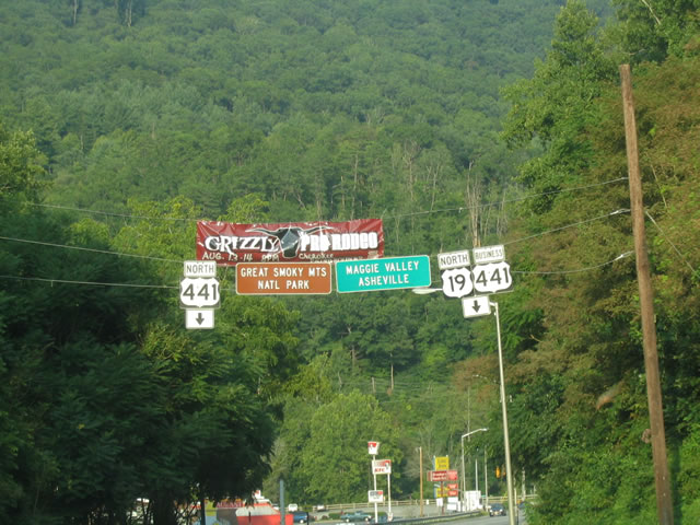
U.S. 441 heads north from U.S. 19 along the Oconaluftee River to Blue Ridge Parkway, Smokemount and Great Smoky Mountains National Park. U.S. 19 (Tsaligi Road) combines with U.S. 441 Business east 1.05 miles across Cherokee Gap to Casino Trail.
08/13/04
North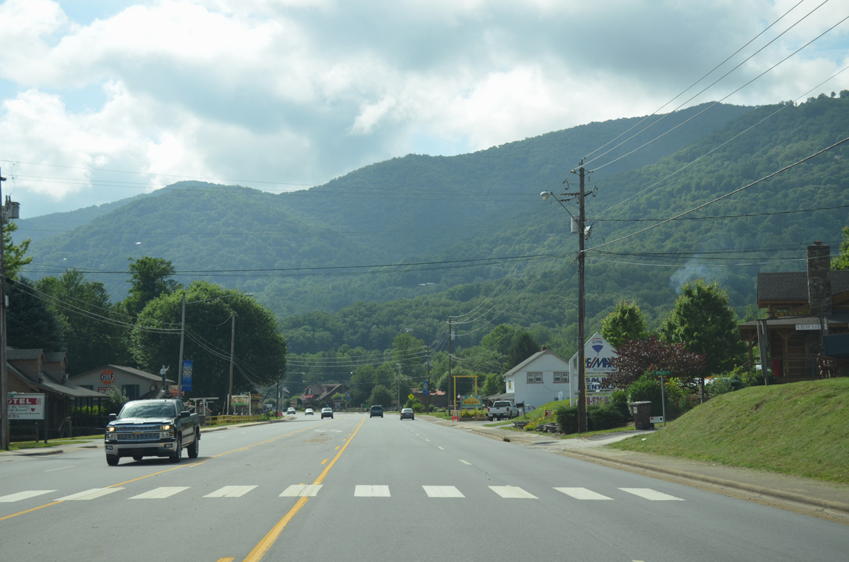
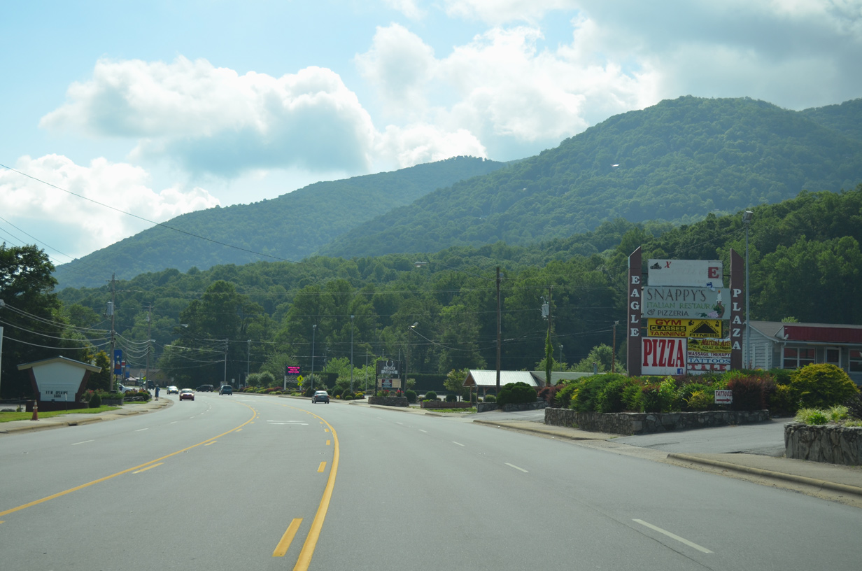
U.S. 19 (Soco Road) expands to a five lane commercial boulevard across the town of Maggie Valley. Eaglenest Mountain rises to the south.
07/03/14
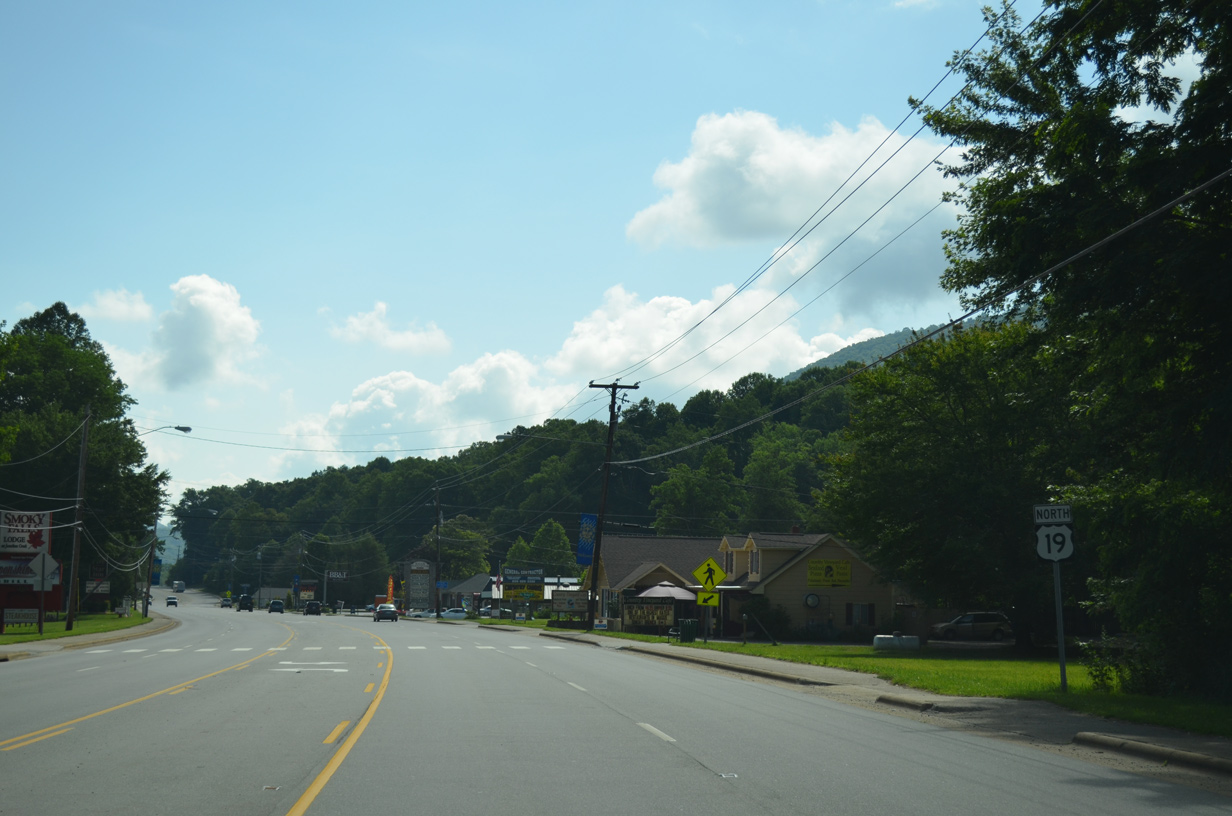
U.S. 19 (Soco Road) advances east past Timberline Drive (SR 1265) south to Pine Tree Cove in Maggie Valley.
07/03/14
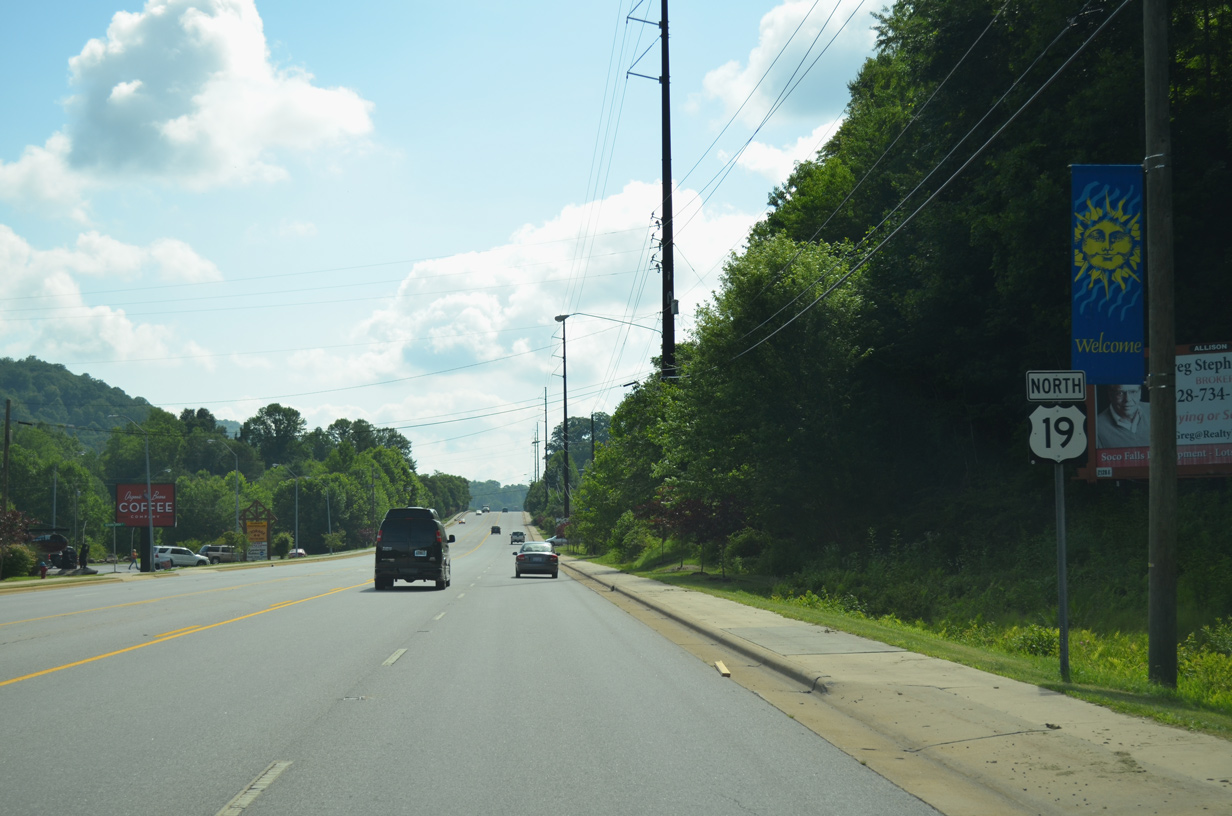
Reassurance marker posted ahead of Bradley Street on Soco Road east in Maggie Valley.
07/03/14
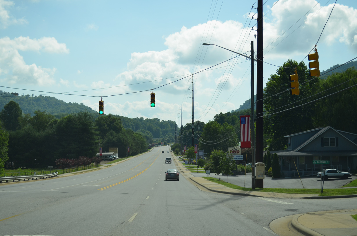
Paralleling Johnathan Creek, U.S. 19 (Soco Road) continues east through Maggie Valley to Dellwood.
07/03/14
Moody Farm Road (SR 1307) ties into U.S. 19 south from the Maggie Valley Country Club Estates golf course community across from Cardinal Drive (SR 1208), a 0.37 mile long residential loop.
07/03/14
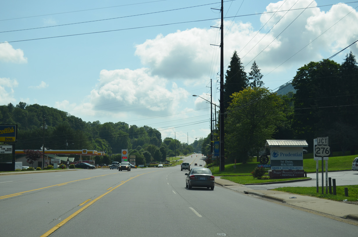
U.S. 276 (Jonathan Creek Road) runs 5.95 miles south from Interstate 40 at Cove Creek to Jonathan and U.S. 19 (Soco Road) at Dellwood.
07/03/14
U.S. 276 measures 63.16 miles through Transylvania and Haywood Counties in Western North Carolina.
07/03/14
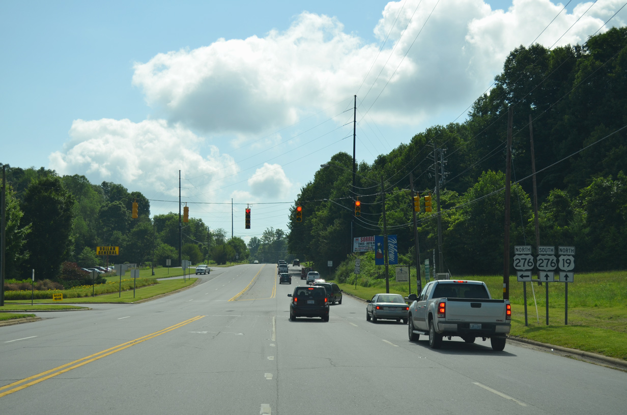
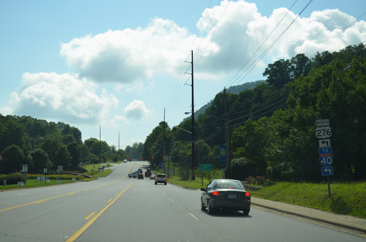
U.S. 19/276 overlap 2.40 miles east along Dellwood Road to Russ Avenue at Ivy Hills and Lake Junaluska.
07/03/14

Photo Credits:
- Carter Buchanan: 08/13/04
- Brent Ivy: 07/03/14
Connect with:
Page Updated Tuesday May 11, 2021.