
U.S. 23 North - Scott County

 North
North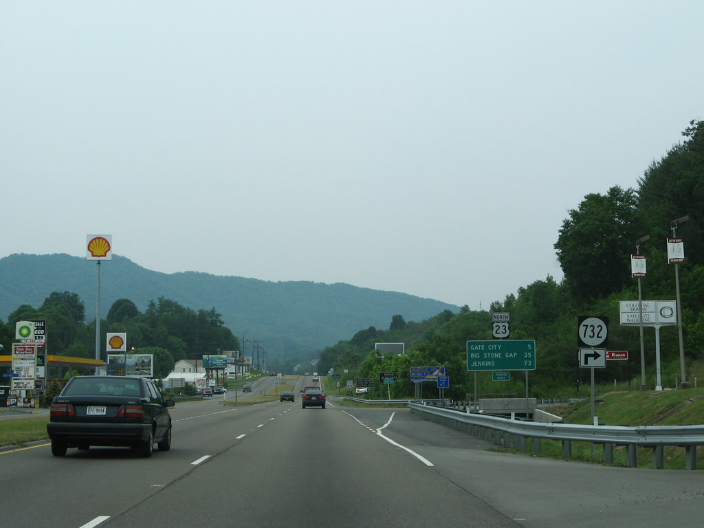
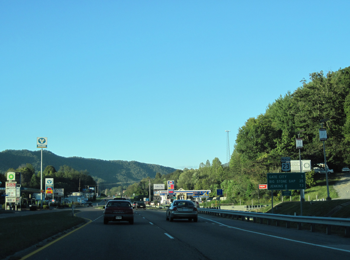
SR 732 (Long Ridge Road) loops east from U.S. 23 to SR 707 (Newland Hollow Road) north of Long Ridge and south of the Holston River North Fork.
05/31/07
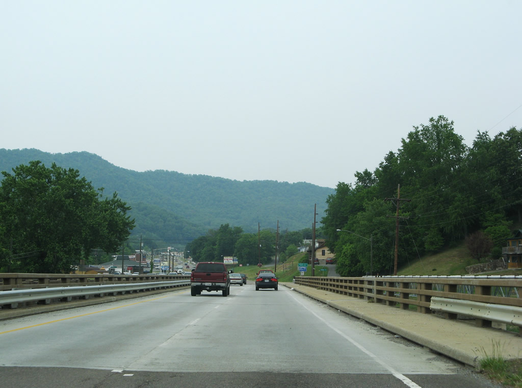
U.S. 23 enters Scott County, Virginia between Cloud and Long Ridge five miles south of the county seat of Gate City.
10/02/10
Representing an old alignment of U.S. 23, SR 727 (State Line Circle) parallels the west side of the four lane highway.
05/31/07
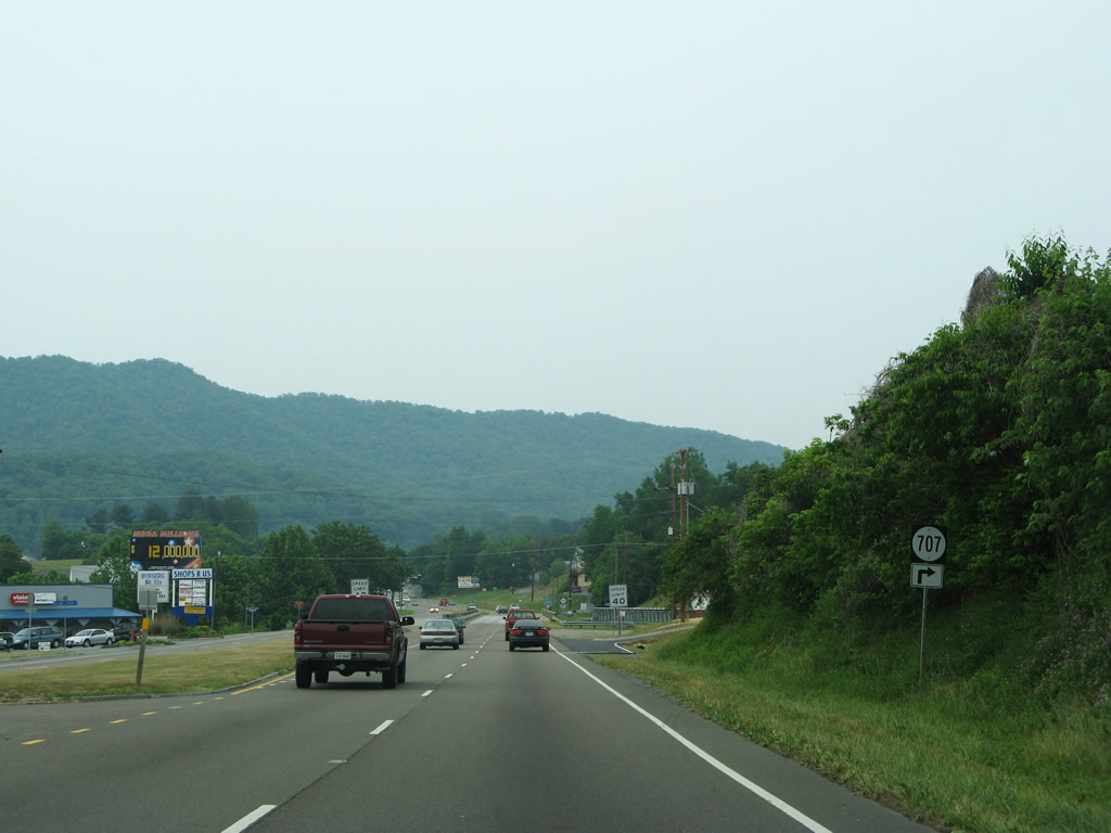
SR 707 (Newland Hollow Road) stems east from U.S. 23 ahead of the Holston River North Fork. SR 707 straddles Long Ridge to Newland Hollow and SR 704 (Carters Valley Road).
05/31/07
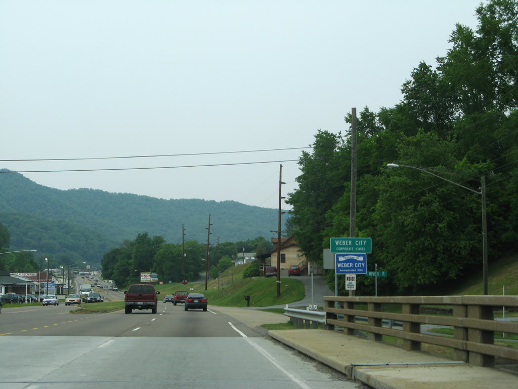
U.S. 23 spans the Holston River North Fork into Weber City along a pair of two lane bridges. The northbound span opened in 1966; the southbound in 1943.
05/31/07
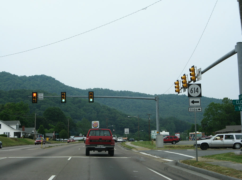
SR 614 (Yuma Road) heads west from U.S. 23 at Weber City to Holston Springs and Yuma. SR 614 stretches 14.70 miles west to the Tennessee line through Poor Valley.
05/31/07
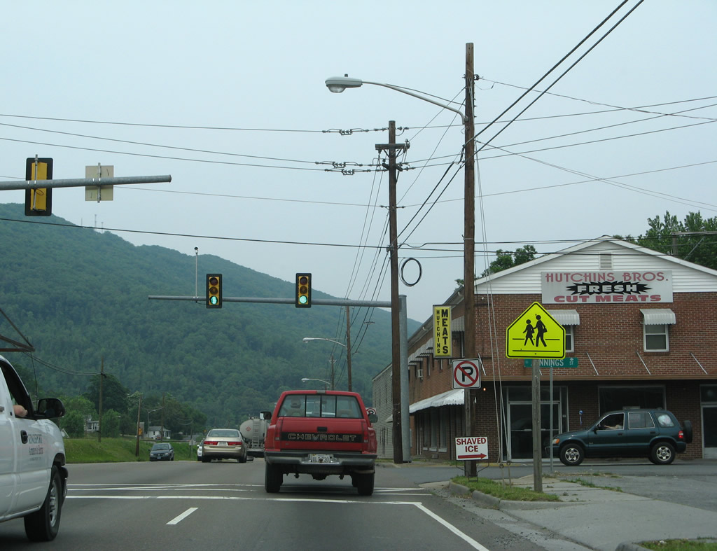
Clinch Mountain rises to the north as U.S. 23 (Main Street) turns northeast through Weber City to the signalized intersection with Jennings Street. Jennings Street loops southeast to Legion Street.
05/31/07
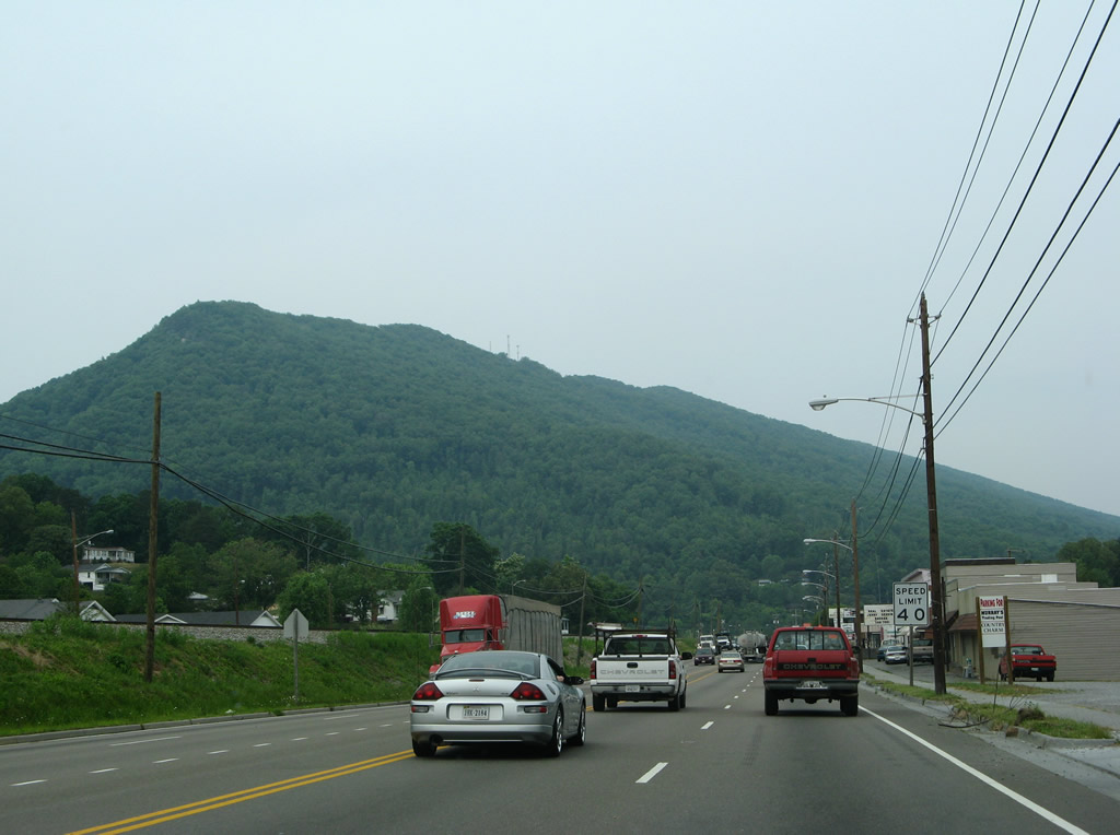
U.S. 23 travels across Clinch Mountain through Moccassin Gap. Peaks along Clinch Mountain rise to 2,466, 2,944 and 3,148 feet above sea level at Big Knob respectively.
05/31/07
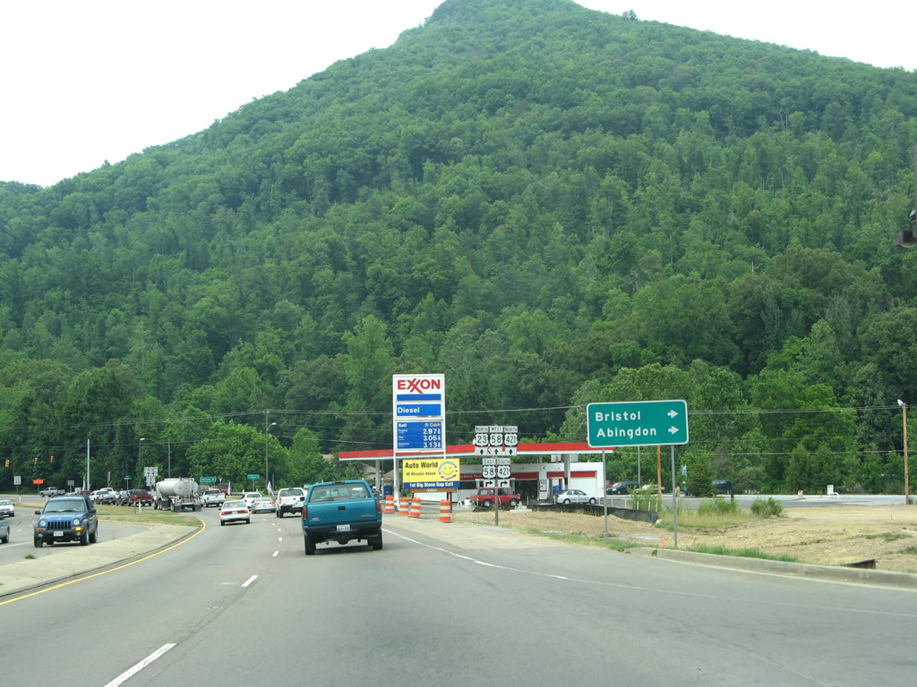
U.S. 58/421 overlap 24.48 miles east from U.S. 23 in Weber City to I-81 in the city of Bristol. Beyond their separation, U.S. 58 continues from Bristol to Abingdon while U.S. 421 turns south into Bristol, Tennessee.
05/31/07
U.S. 58/421 combine with U.S. 23 west from Weber City and Gate City 17.93 miles to the town of Duffield.
05/31/07
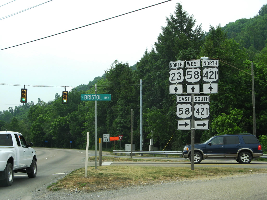
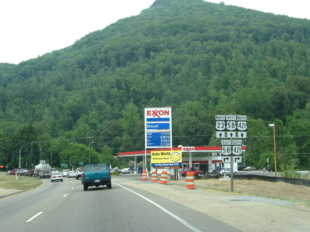
Construction with the Moccasin Gap Project reconfigured the intersection joining U.S. 23/58/421 by 2009. U.S. 58/421 were also expanded to four lanes along with a section of adjacent SR 224 (Wadlow Gap Road).
05/31/07
Photo Credits:
- Andy Field, Carter Buchanan: 05/31/07
- ABRoads: 10/02/10
Connect with:
Page Updated Friday April 23, 2021.