
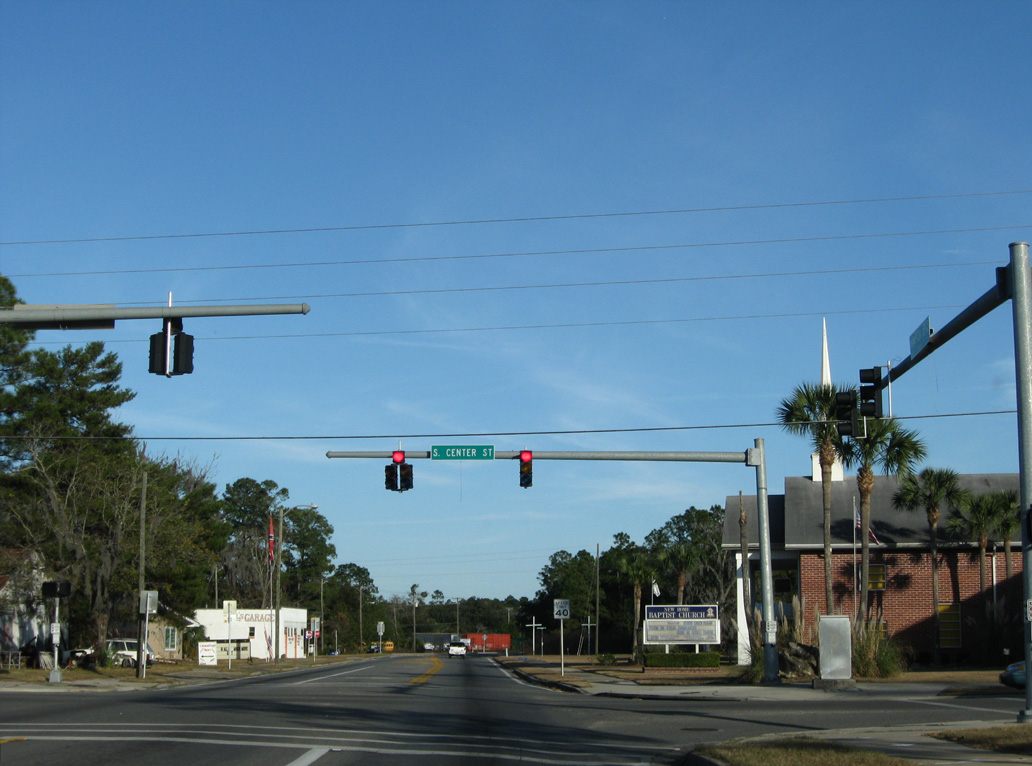
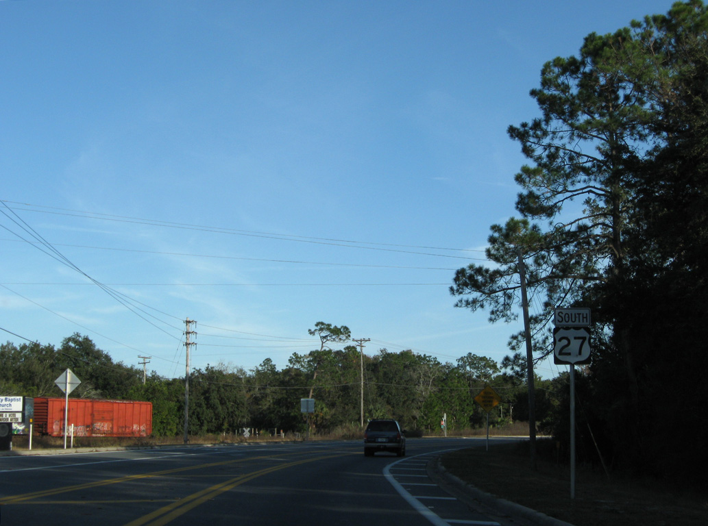
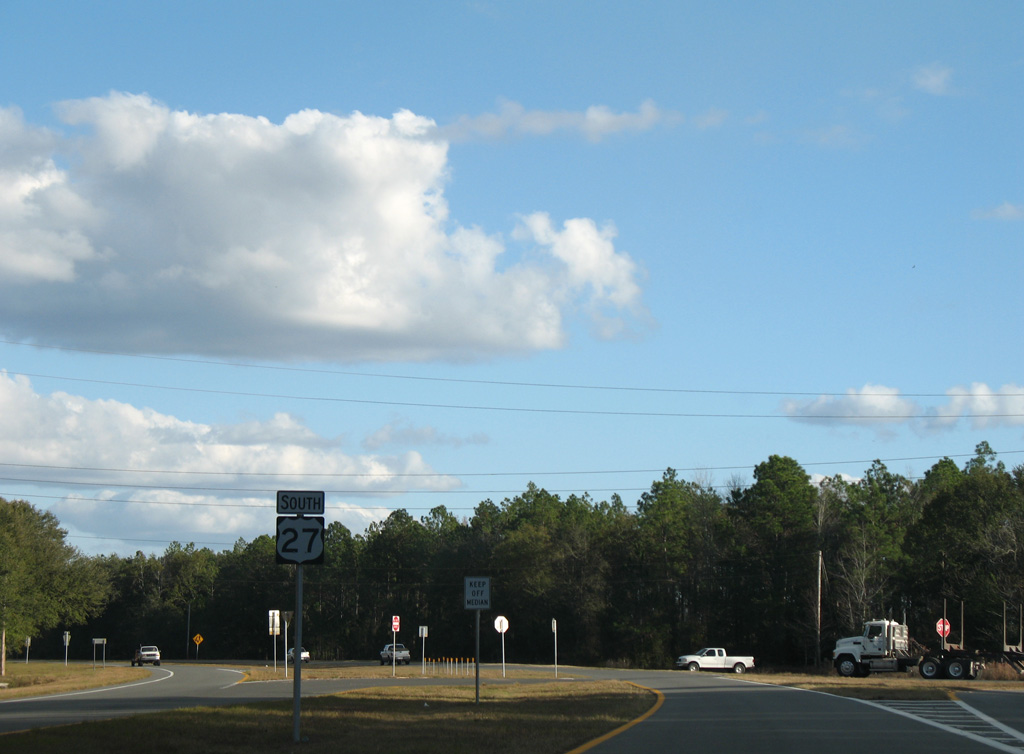
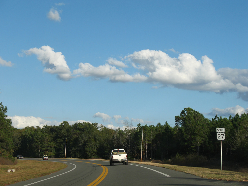
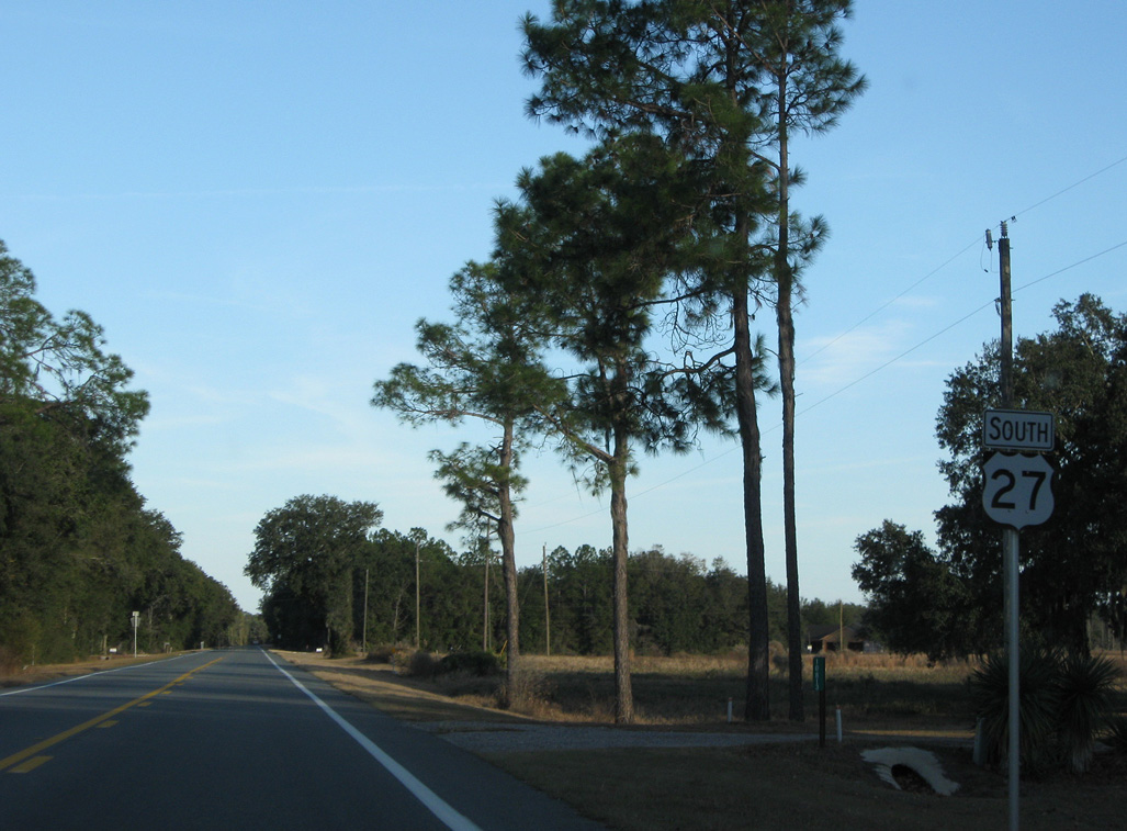
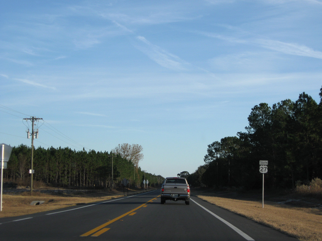
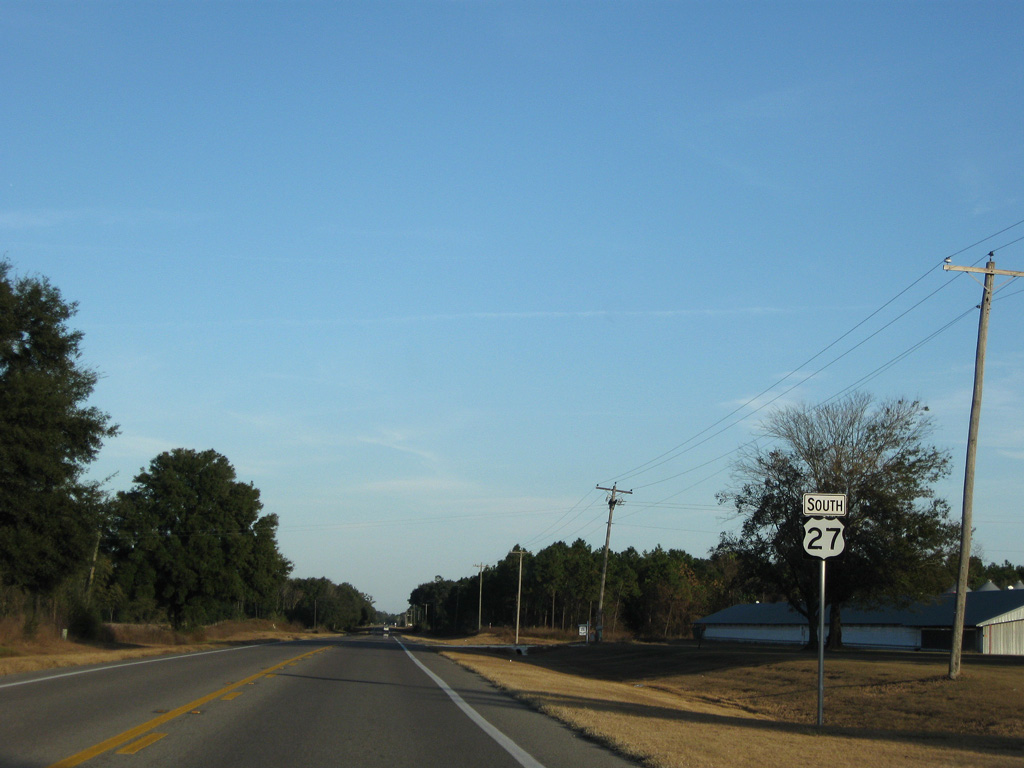
U.S. 27 South - Perry to Mayo


 South
South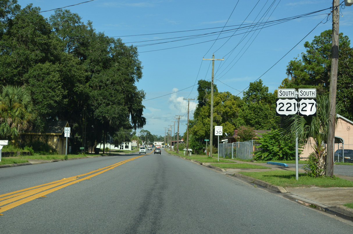
Confirming markers posted for U.S. 27/221 along Hampton Springs Avenue east ahead of Bryant Street.
07/27/22
07/27/22
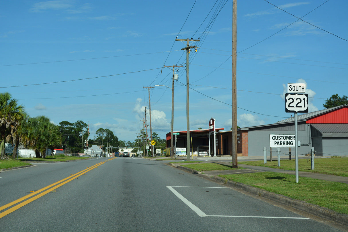
A second shield for U.S. 221 on Hampton Springs Avenue precedes Faulkner Street along U.S. 27 southbound.
07/27/22
07/27/22
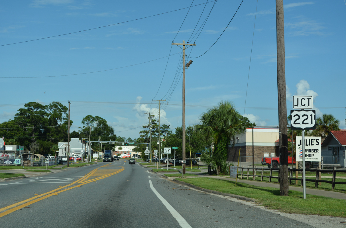
The final 0.93 miles of U.S. 221 follow Jefferson Street south from U.S. 27 (Hampton Springs Avenue).
07/27/22
07/27/22
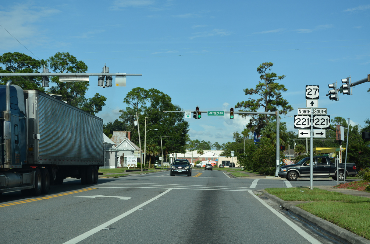
U.S. 221 concludes south at U.S. 19/98/27 ALT (Byron Butler Parkway). Jefferson Street leads north along former U.S. 221 through Downtown Perry.
07/27/22
07/27/22
South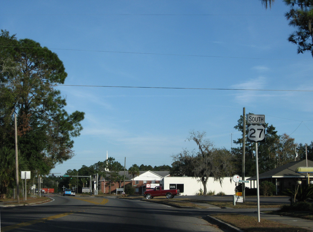
11/23/08
11/23/08
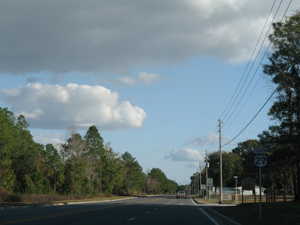
Distance sign posted where U.S. 27 southbound converges with parallel Maurice Linton Road east in Perry.
12/11/07
12/11/07
Curving southeast, U.S. 27 parallels a Georgia & Florida Company Railroad out of Perry.
11/23/08
11/23/08
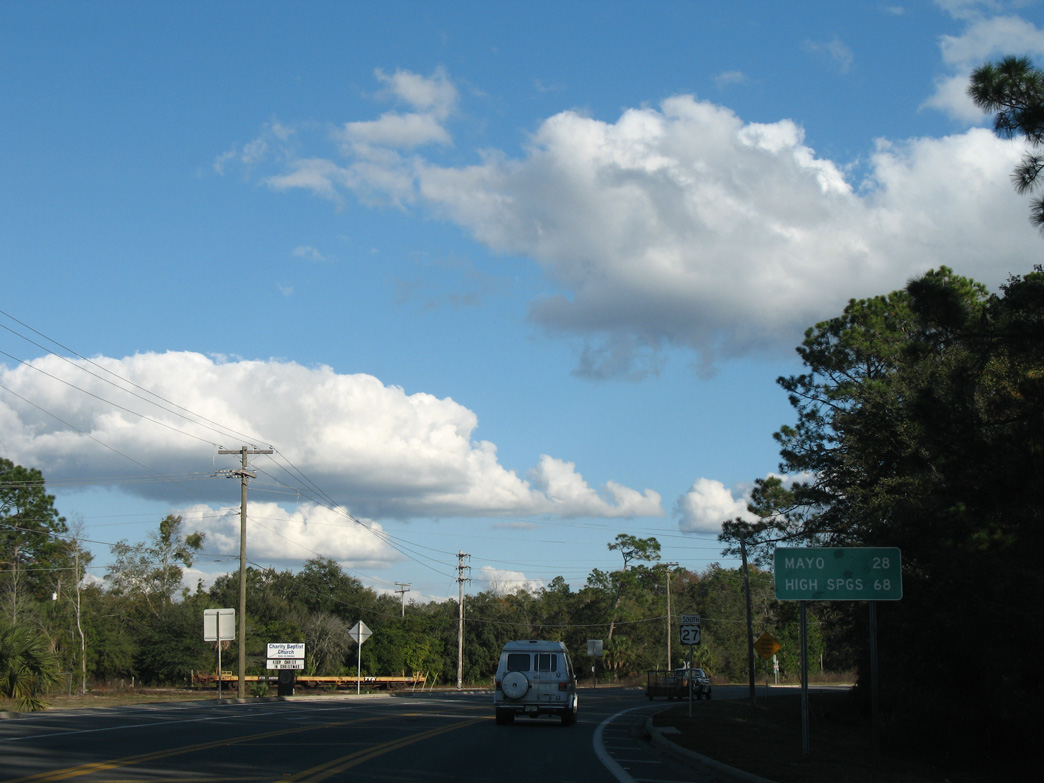
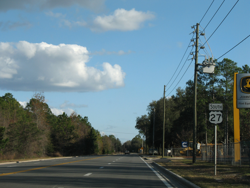
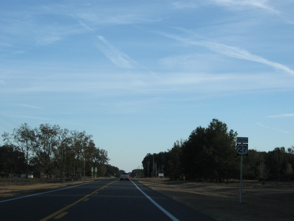
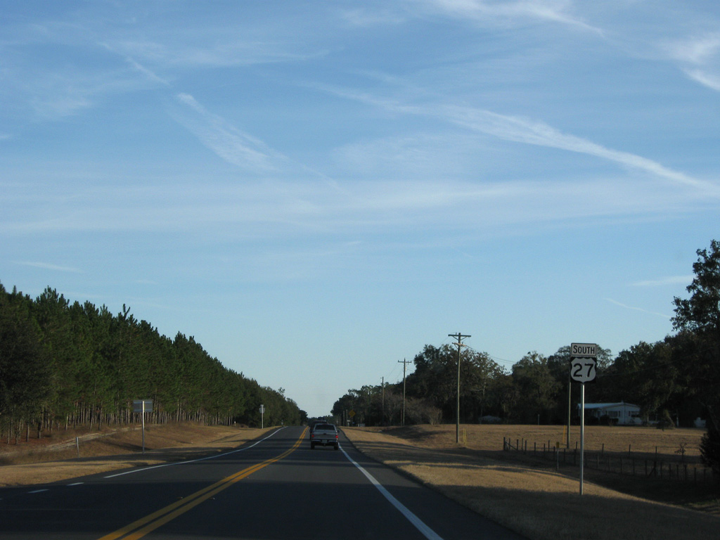
Reassurance marker posted between Buckeye Nursery Road (former Florida Secondary Road 361) north and Sunset Lane south outside Perry.
12/11/07
12/11/07
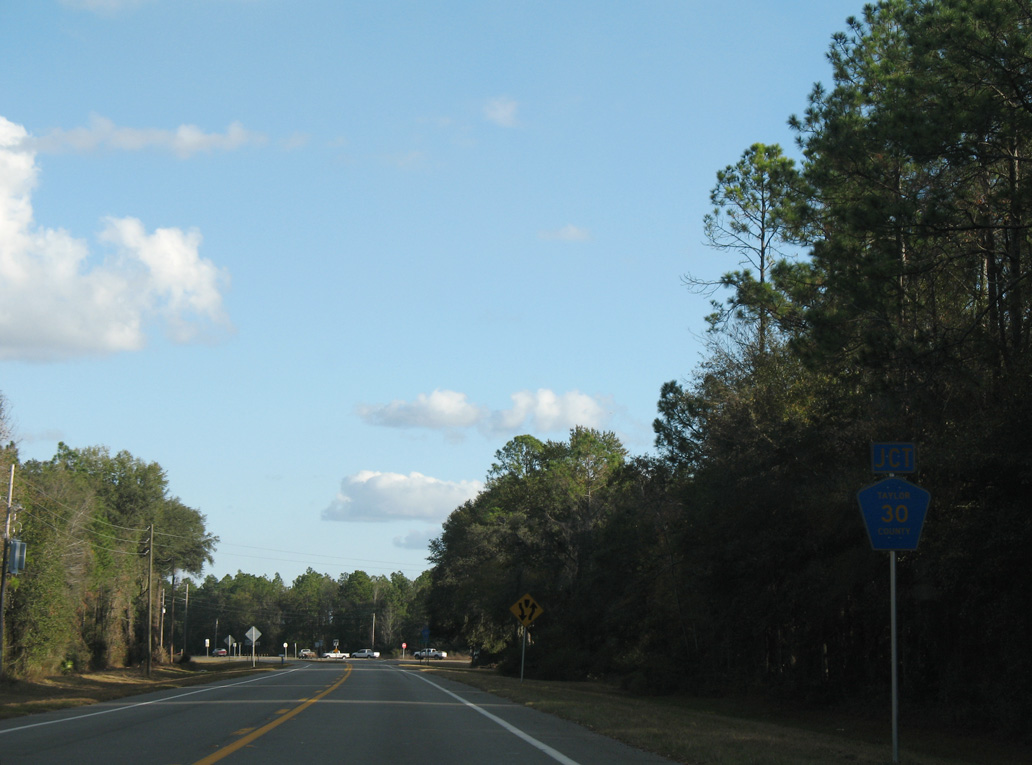
Foley Cut Off Road (CR 356C) stems south from U.S. 27 to CR 30 (Foley Road) from ahead of this shield assembly.
12/11/07
12/11/07
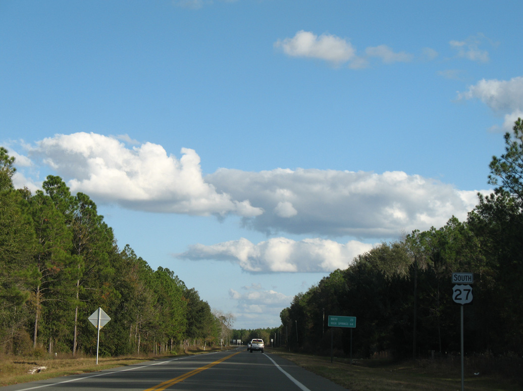
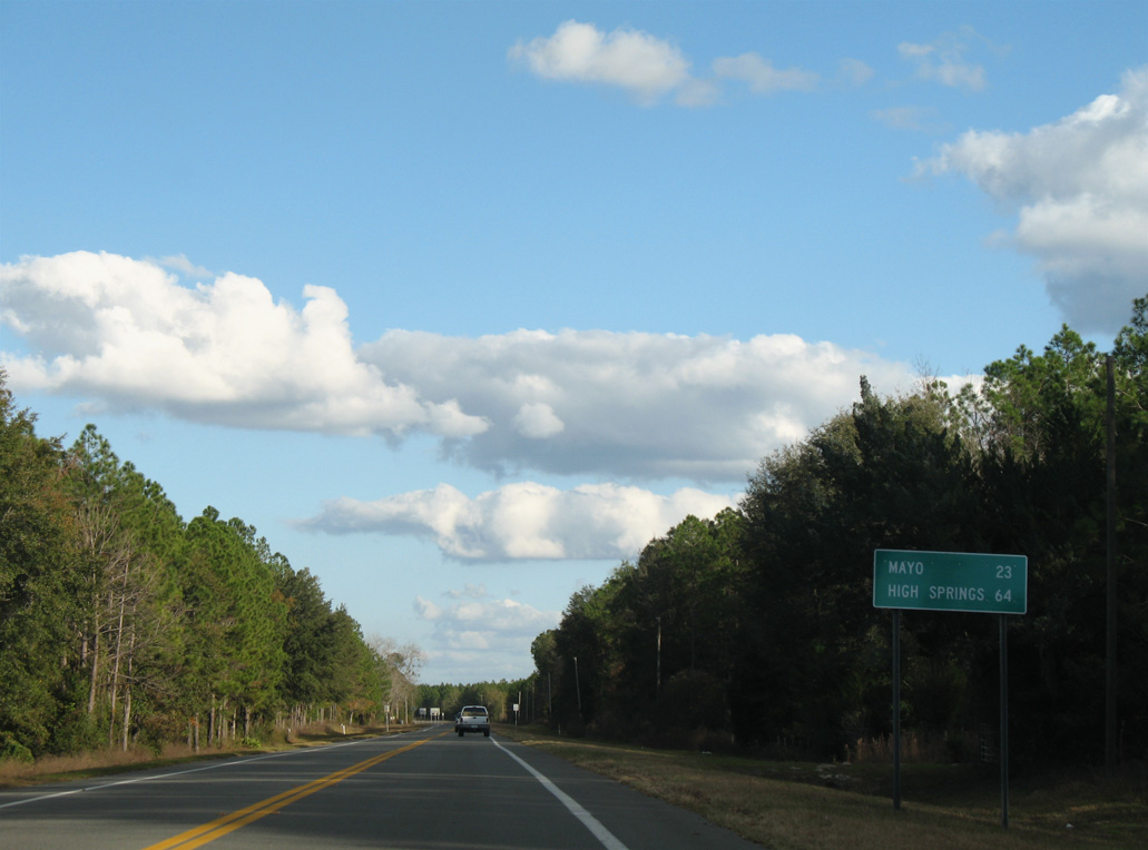
CR 30 (Foley Road) converges with U.S. 27, 2.65 miles east from U.S. 19/98/27 ALT near Bucell Junction.
12/11/07
12/11/07
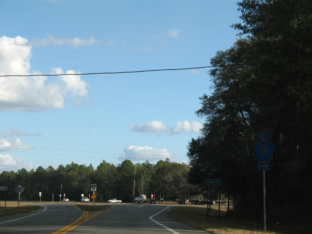
CR 30 runs west to Foley and U.S. 19/98/27 ALT across from CR 2132 (Carlton Cemetery Road).
12/11/07
12/11/07
U.S. 27 continues east from CR 30 to Fenholloway.
12/11/07
12/11/07
12/11/07
12/11/07
U.S. 27 curves northeast from Fenholloway Road (old Florida Secondary Road 356).
12/11/07
12/11/07
12/11/07
U.S. 27 plies across wetland areas at San Pedro Bay.
11/23/08
11/23/08
11/23/08
U.S. 27 continues east into Lafayette County from Tiger Bay.
11/23/08
11/23/08

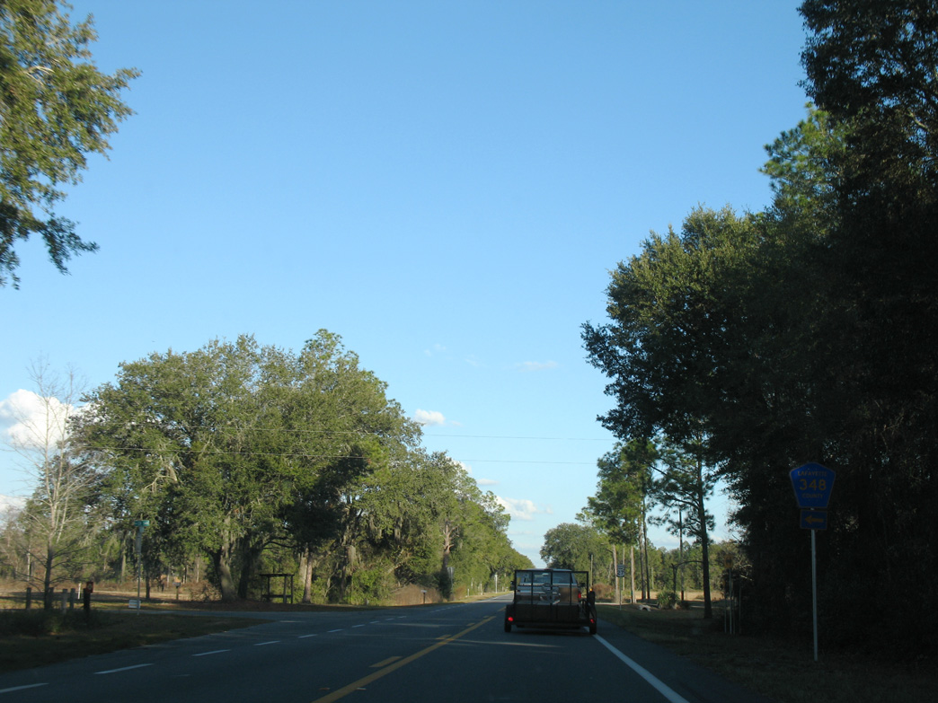
CR 348 loops 4.28 miles northeast from U.S. 27 at Townsend to CR 53.
11/23/08
11/23/08
12/11/07
11/23/08
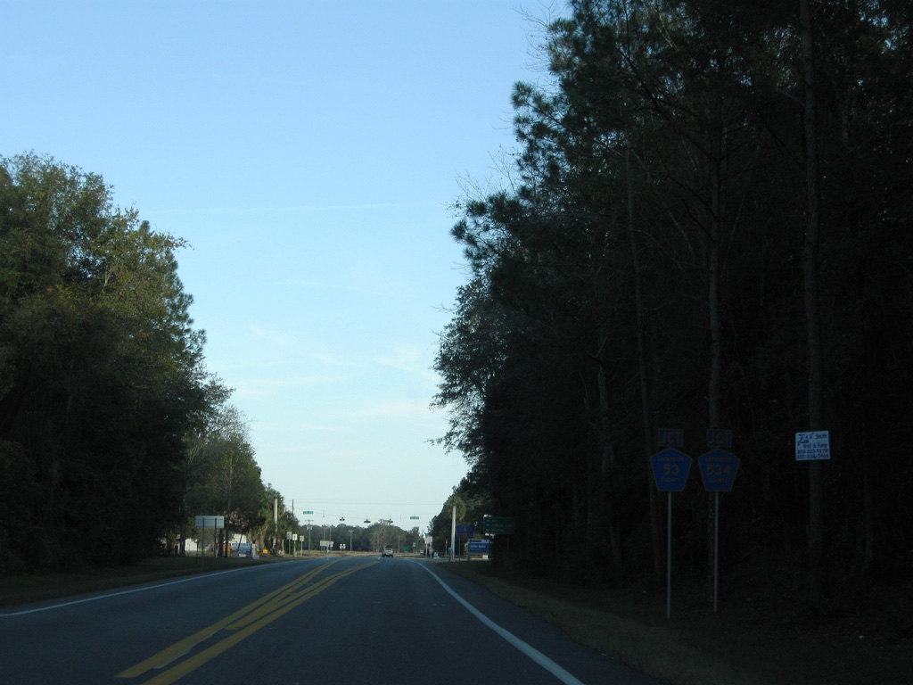
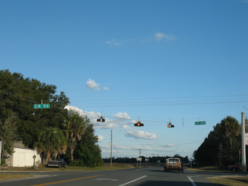
CR 53 south and CR 534 come together at U.S. 27 and Buckville.
11/23/08
11/23/08
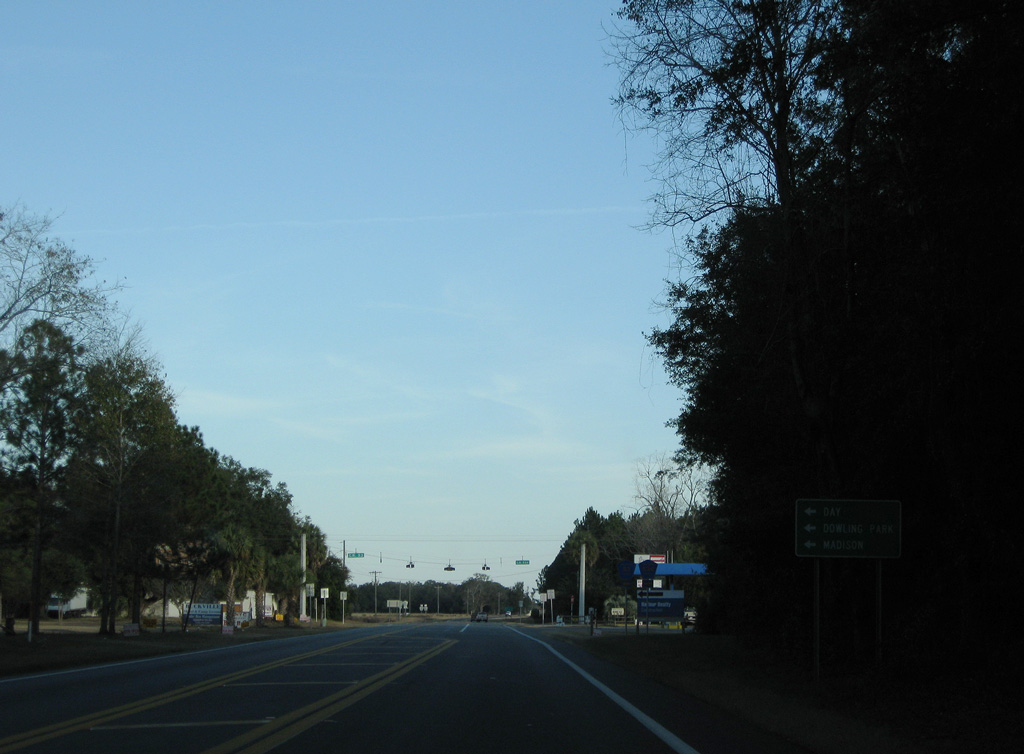
CR 53 runs 9.12 miles north to the Madison County line via Day. 10.40 miles further north, CR 53 meets Interstate 10, where SR 53 takes over en route to the city of Madison.
11/23/08
11/23/08
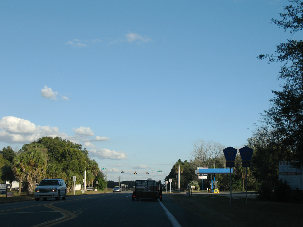
Florida Secondary Road 53 south from Buckville was renumbered to CR 534.
12/11/07
12/11/07
12/11/07

12/11/07
12/11/07

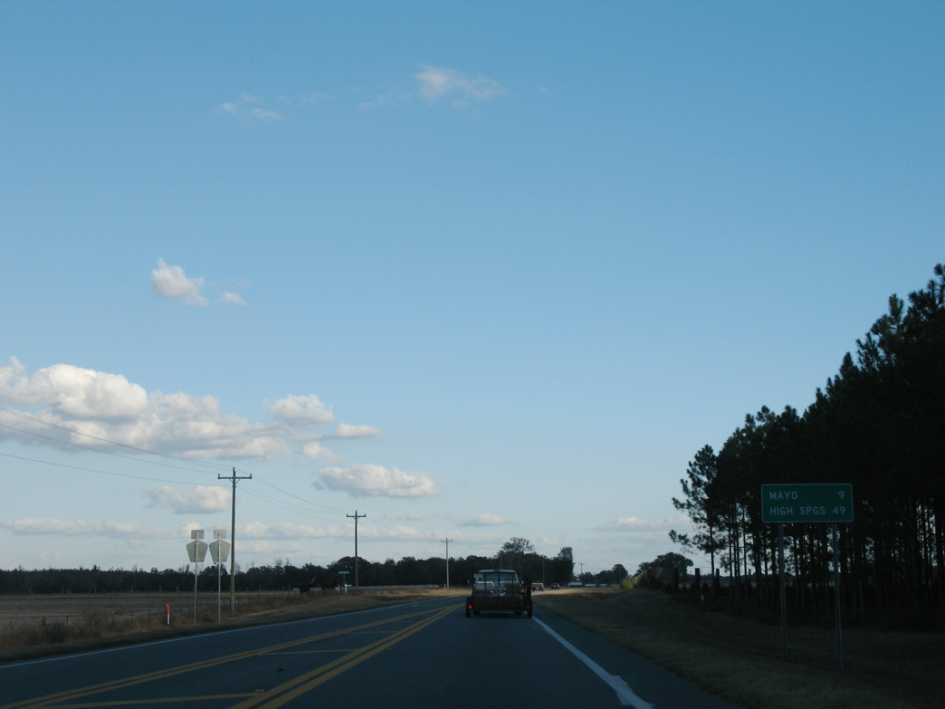
Angling southeast, U.S. 27 next meets CR 350 west and CR 251 north.
11/23/08
11/23/08
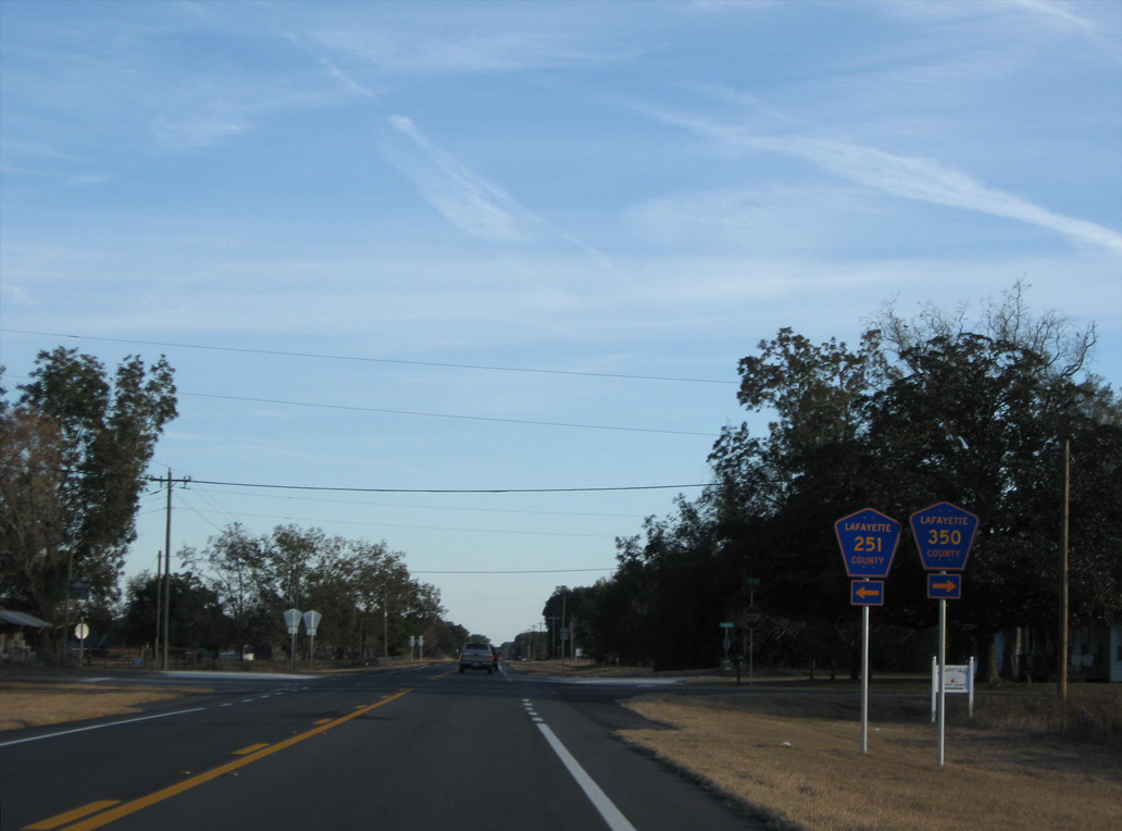
CR 251 travels 9.53 miles north to CR 250 near Dowling Park. CR 350 extends 2.14 miles west to CR 534.
11/23/08
11/23/08
11/23/08
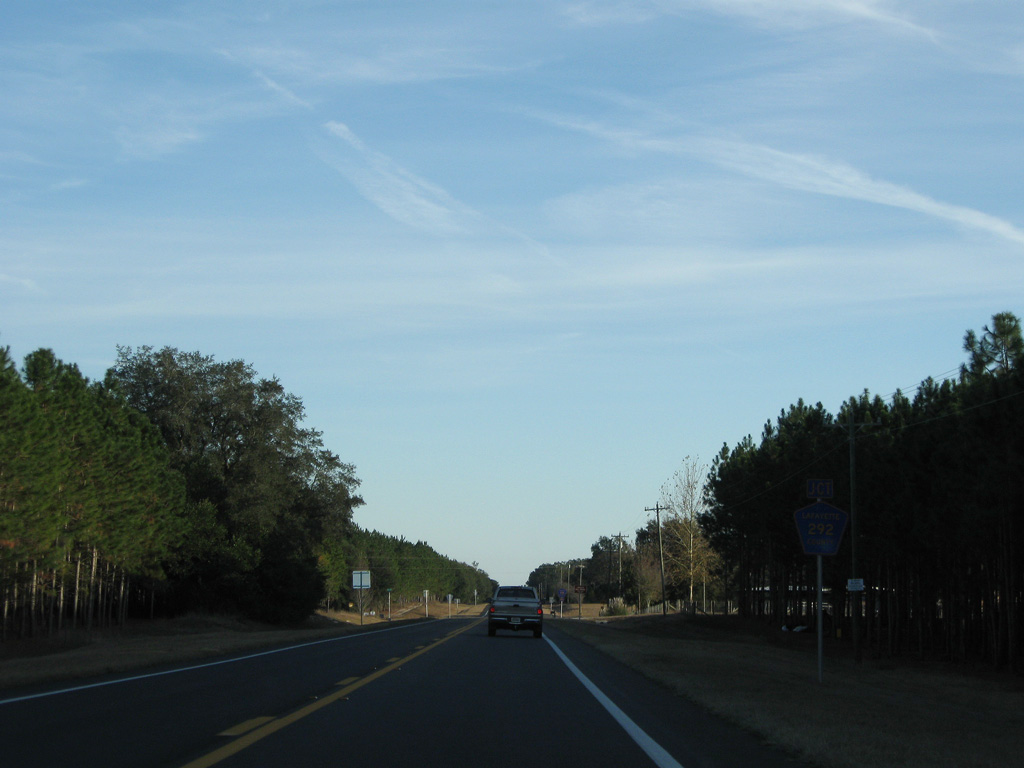
CR 292 ties into U.S. 27 south from Lafayette Blue Springs State Park.
11/23/08
11/23/08
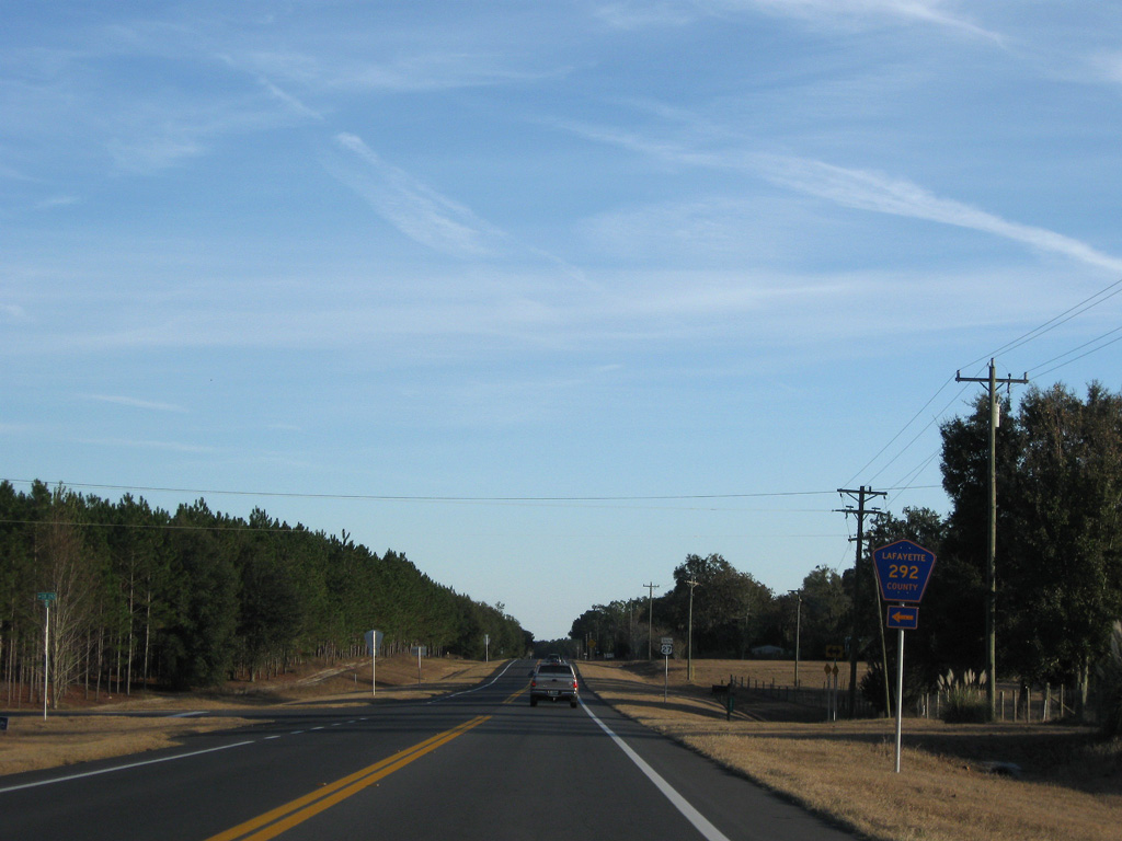
CR 292 comprises a 5.58 mile long loop north to Dell and west to CR 251 at CR 290. CR 292 replaced what was Florida Secondary Road 251B.
11/23/08
11/23/08
11/23/08
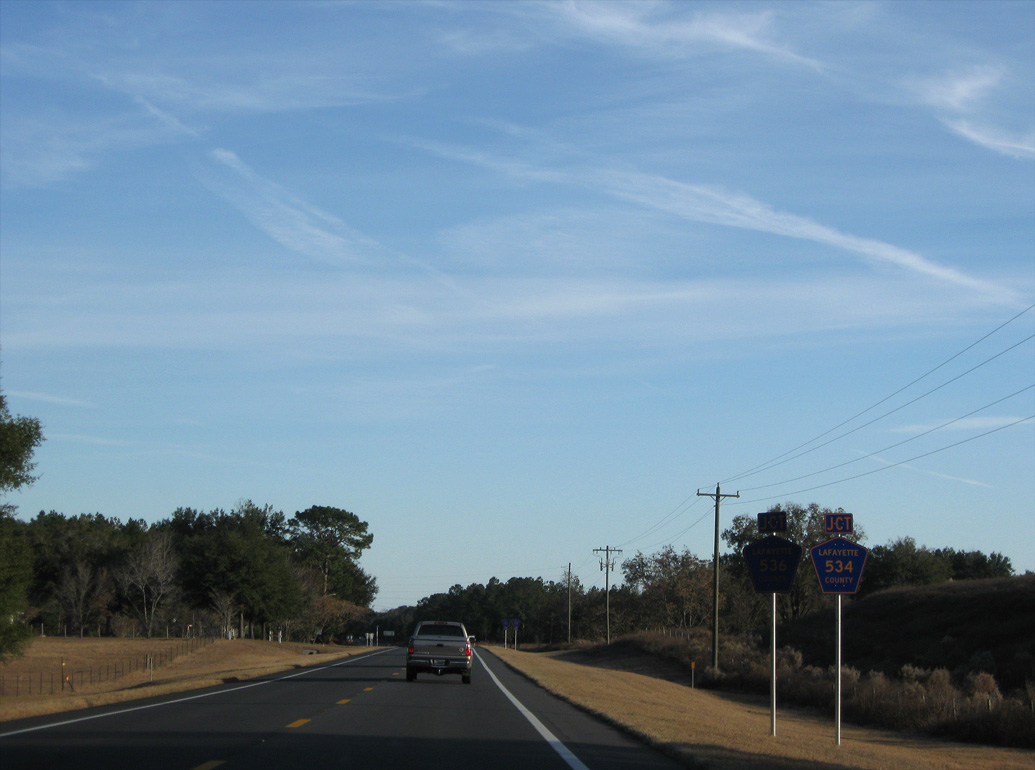
CR 534 east returns to U.S. 27 across from CR 536 west.
11/23/08
11/23/08
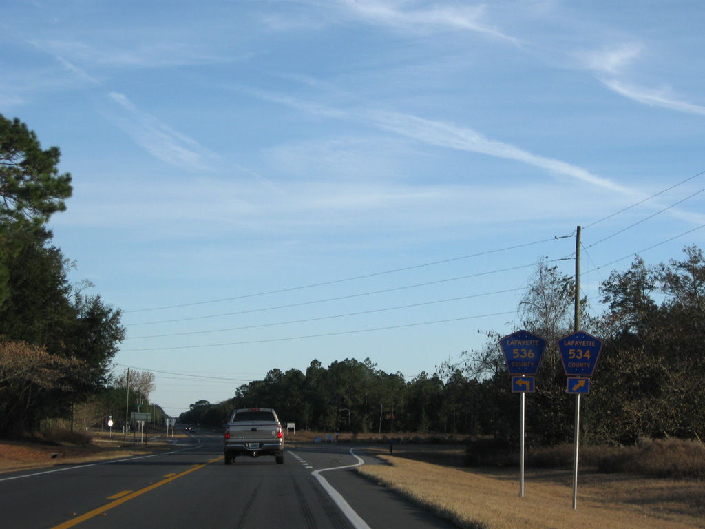
Also replacing Florida Secondary Road 53, CR 536 lead 3.00 miles east to SR 51.
11/23/08
11/23/08
11/23/08
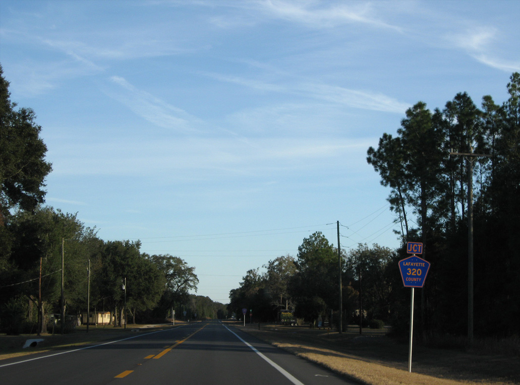
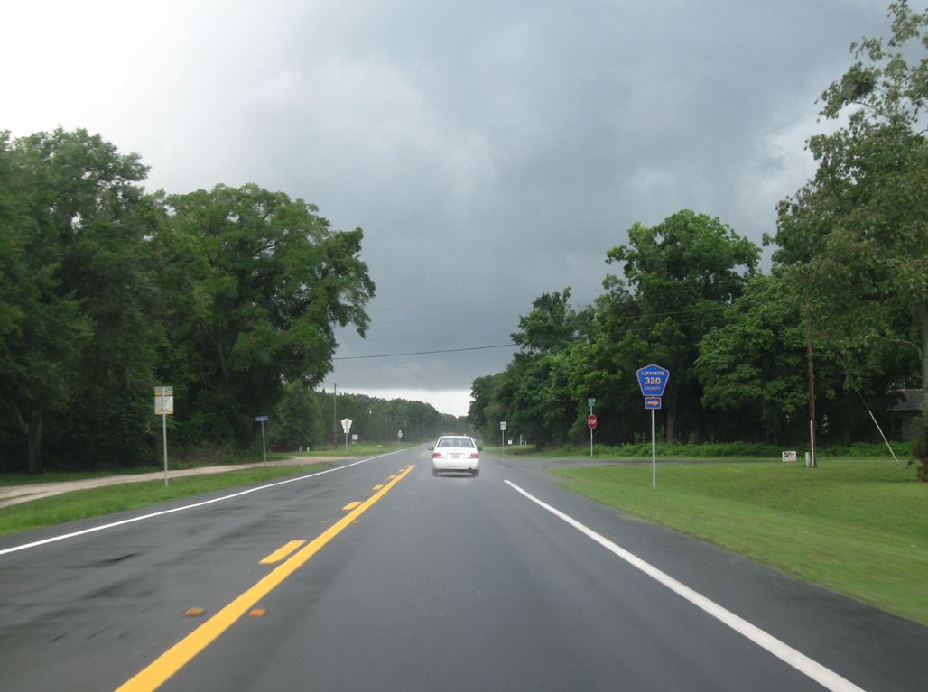
CR 320 west to CR 300 replaced another branch of Florida Secondary Road 251.
11/23/08
11/23/08
04/19/09
12/11/07
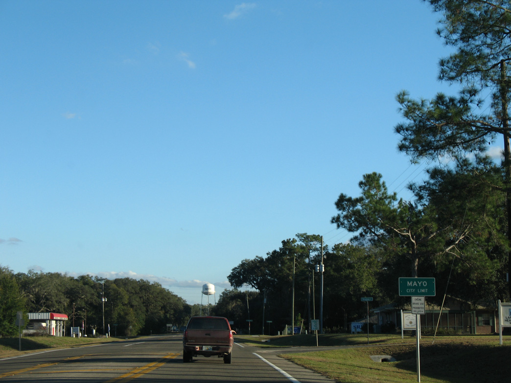
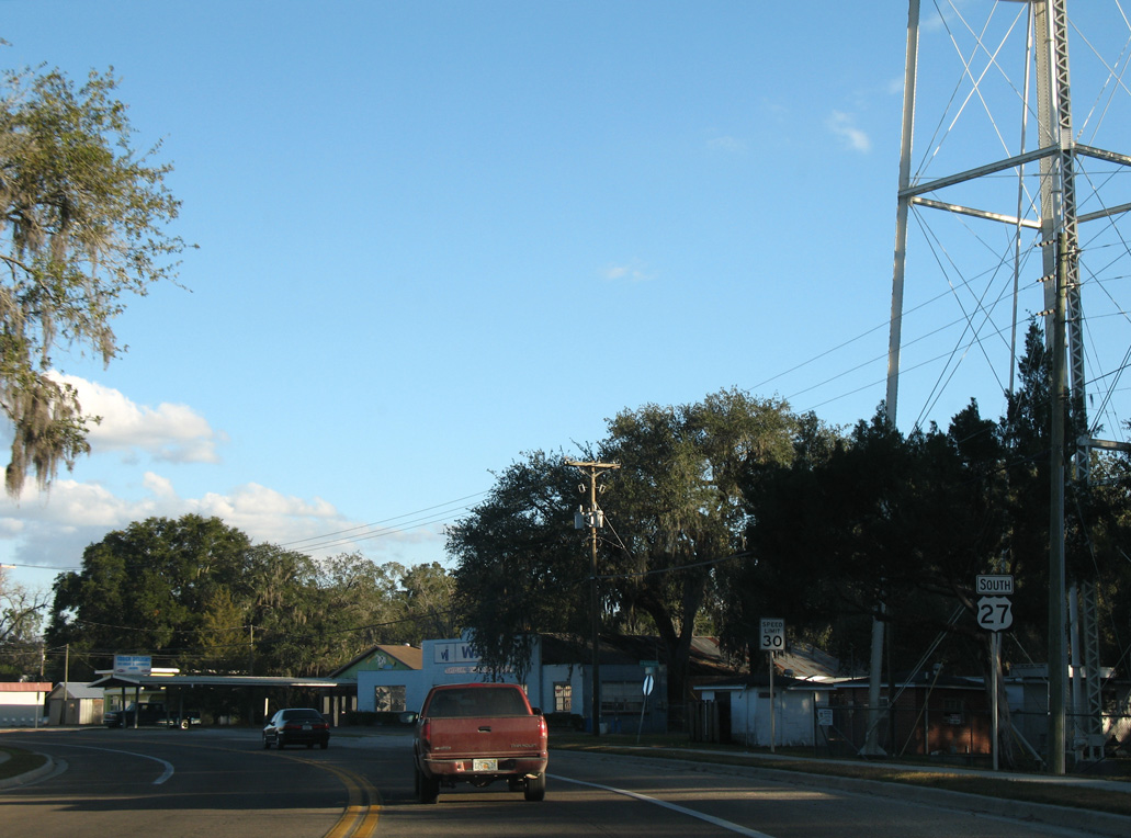
U.S. 27 south enters the town of Mayo at Virginia Circle.
12/11/07
12/11/07
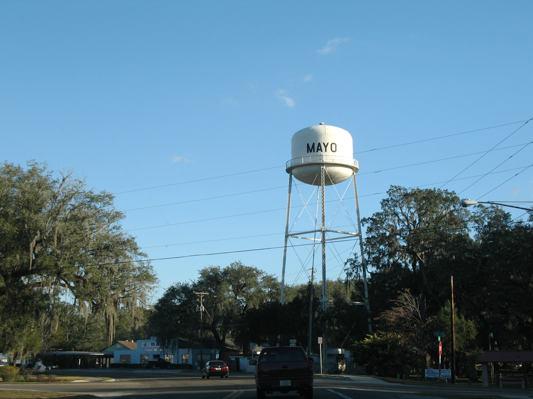
U.S. 27 curves east onto Main Street beyond CR 300 west and Bloxham Street east.
12/11/07
12/11/07
12/11/07

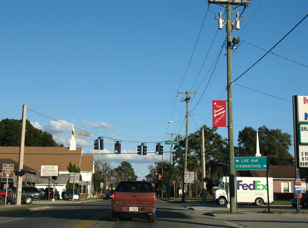
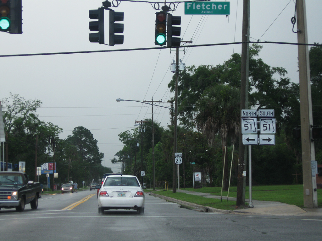
U.S. 27 continues three blocks east from Mayo Town Hall to SR 51 (Fletcher Avenue) by the Lafayette County Courthouse.
11/23/08
11/23/08
SR 51 travels south from Mayo to Steinhatchee just off the Gulf of Mexico and northeast to U.S. 129 in Live Oak.
12/11/07
12/11/07
04/19/09

12/11/07
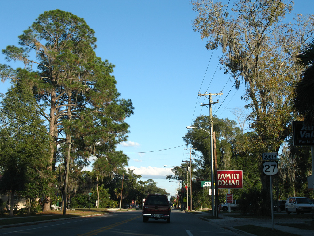
Reassurance marker posted along Main Street east ahead of Willis Avenue in Mayo.
12/11/07
12/11/07

12/11/07
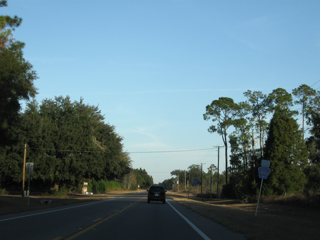
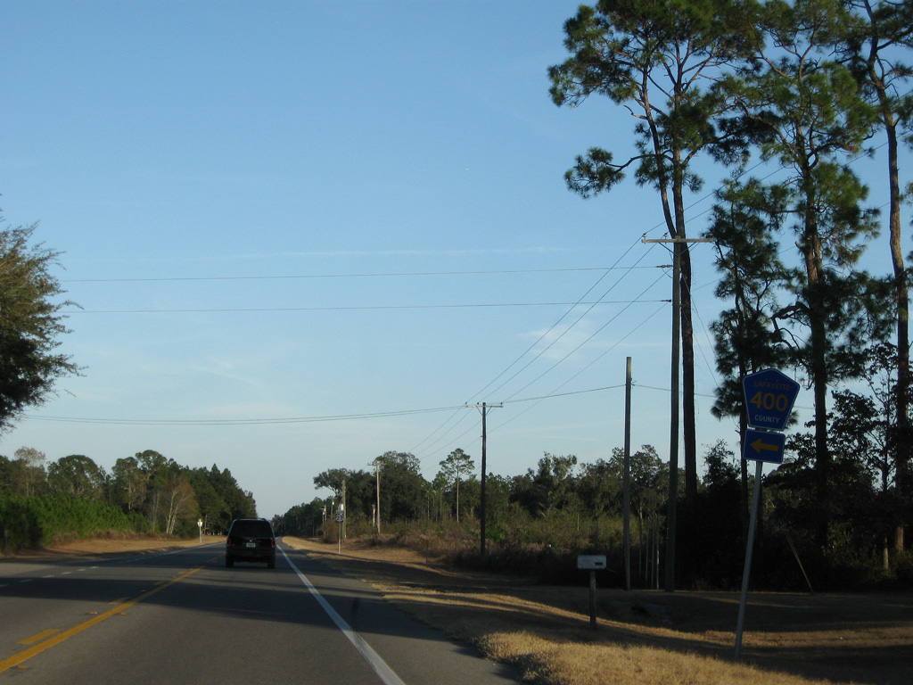
CR 400 loops east from SR 51 to the Edward Perry Sports Complex and south to U.S. 27.
11/23/08
11/23/08
11/23/08

11/23/08
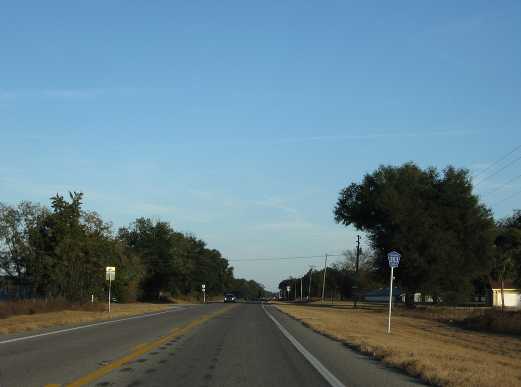
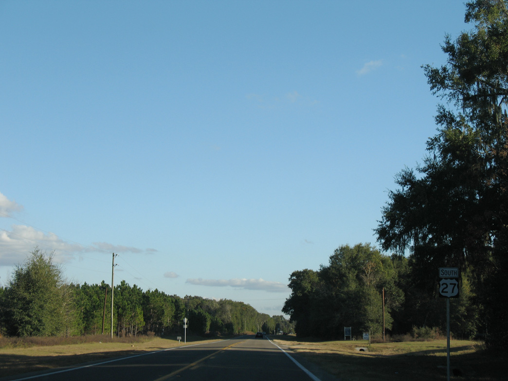
Continuing east from Alton, U.S. 27 southbound next meets CR 353 north 1.81 miles to CR 353. CR 353 replaced Florida Secondary Road 354C.
11/23/08
11/23/08
11/23/08
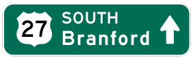
Photo Credits:
- Alex Nitzman, JP Nasiatka: 07/27/22
- ABRoads: 12/11/07, 11/23/08
- Alex Nitzman: 12/11/07
- Brent Ivy: 04/19/09
Connect with:
Page Updated Wednesday August 02, 2023.