
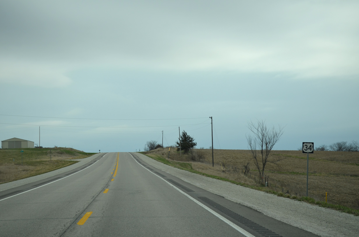
U.S. 34 East - Clarke County
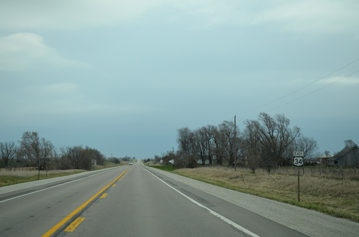
 East
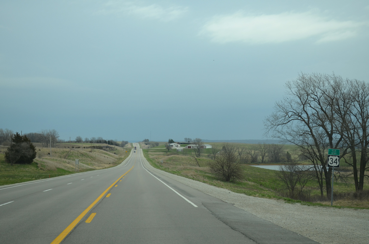
East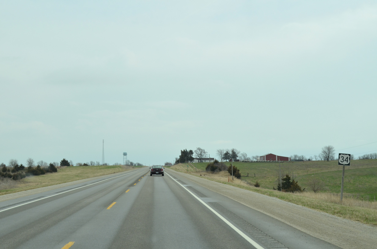
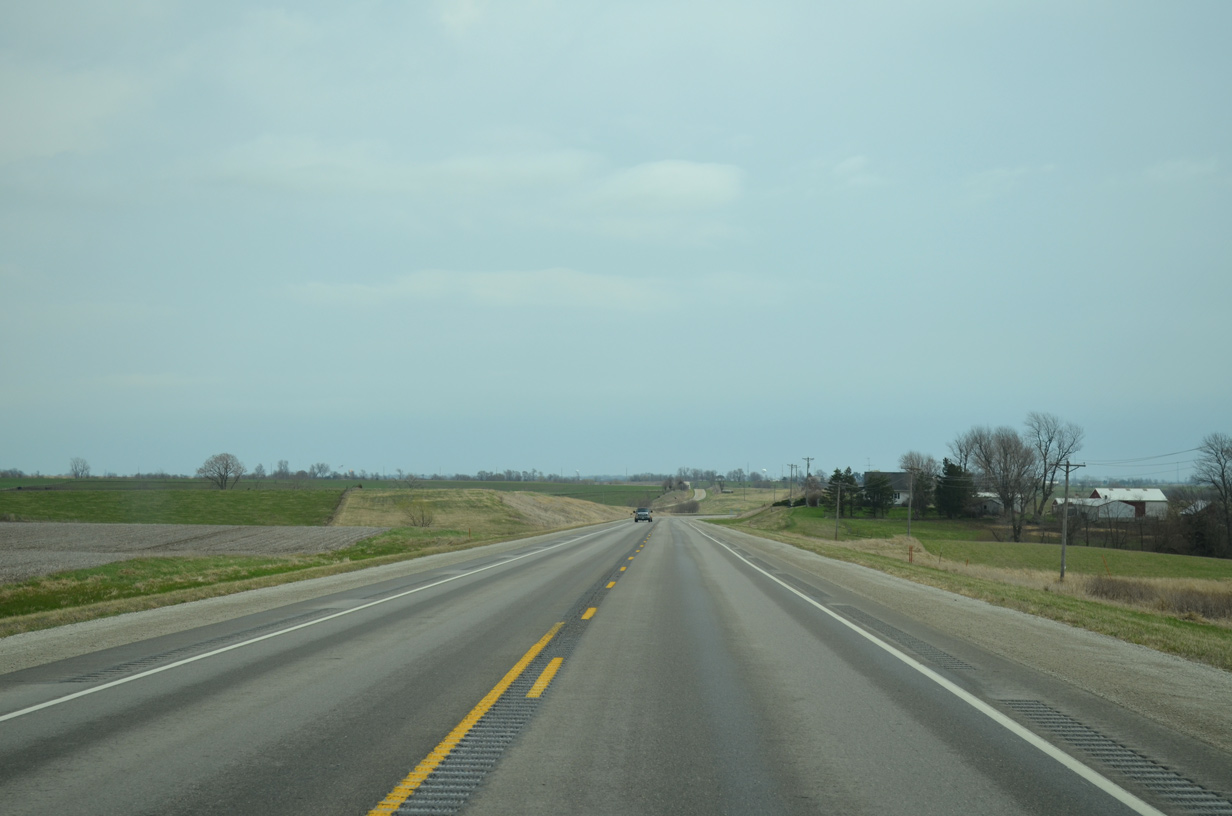
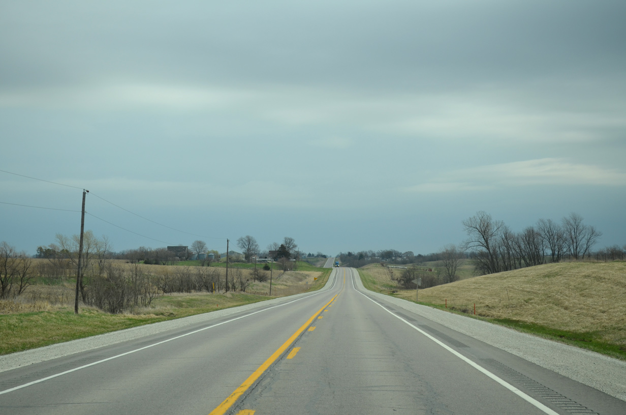
U.S. 34 east at 120th Avenue in Troy township.
03/30/16

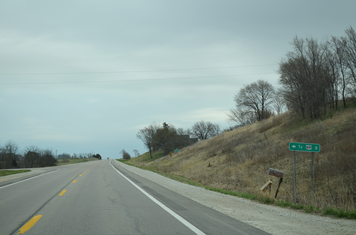
County Road R15 (130th Avenue) stems north from Iowa 2 in Decatur County to Grand River, Westerville and U.S. 34 outside Murray.
03/30/16
CR R15 (130th Avenue) runs along the west side of Murray three quarters of a mile north of U.S. 34.
03/30/16
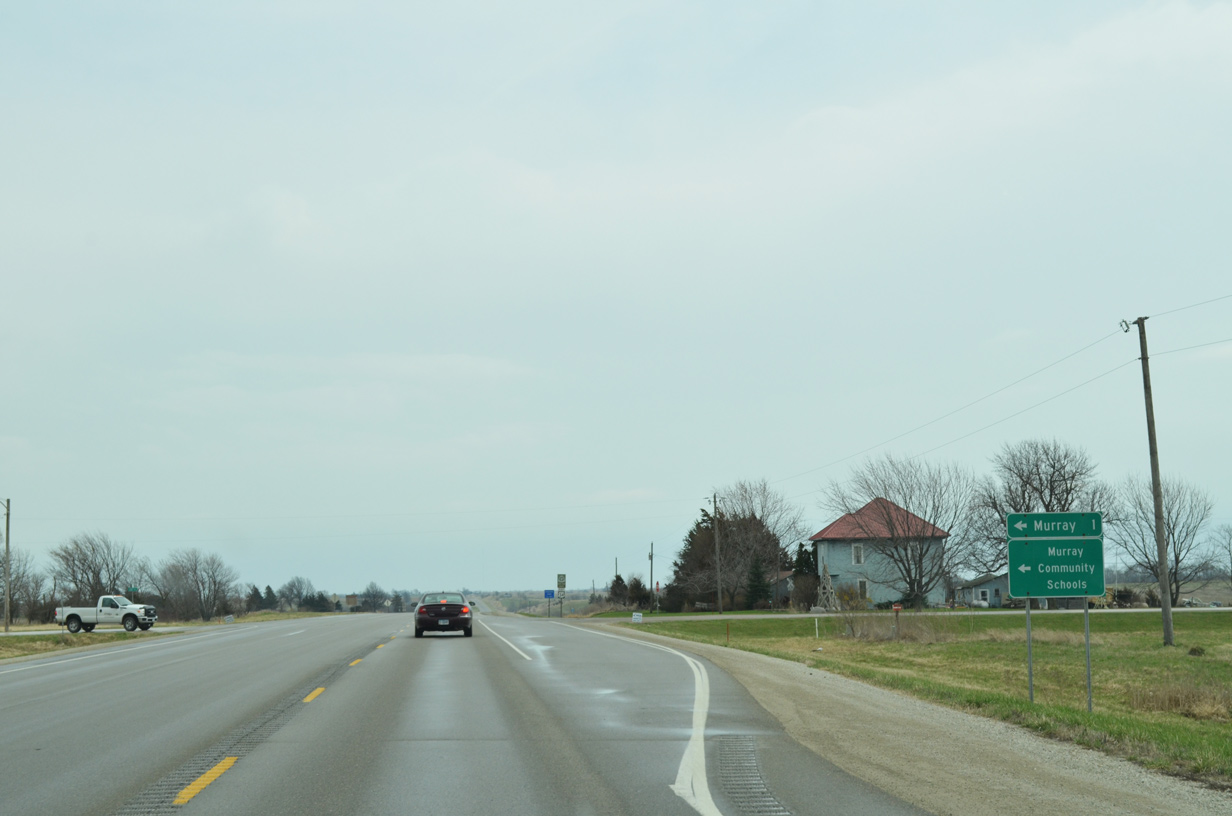
U.S. 34 south of Murray is part of the Mormon Pioneer National Historic Trail.
03/30/16
CR R16 spurs a half mile north along 135th Street into Murray at Dewey Street.
03/30/16
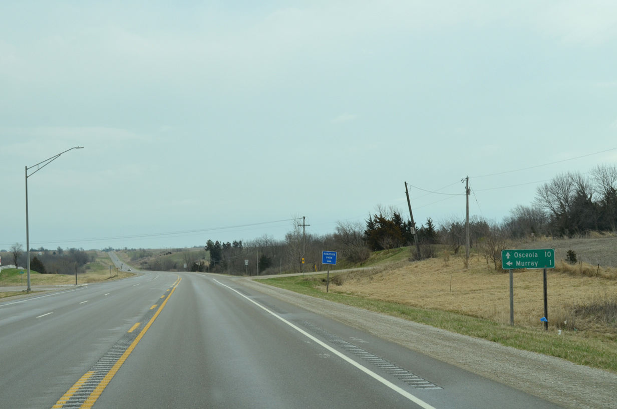
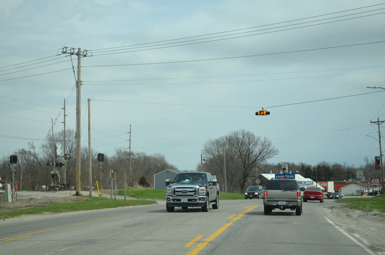
Continuing east from CR R16 and Murray, U.S. 34 reaches the Clarke County seat of Osceola in 10 miles.
03/30/16
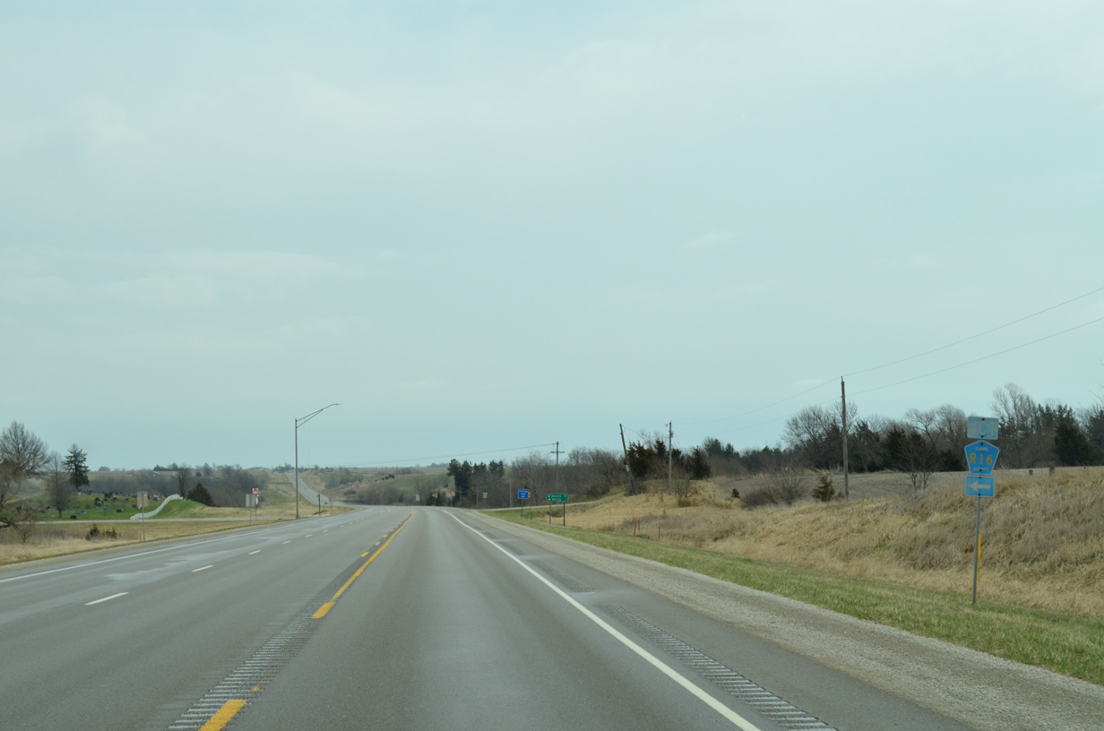
Murray Roadside Park lies just south of U.S. 34 from the intersection with 135th Avenue.
03/30/16
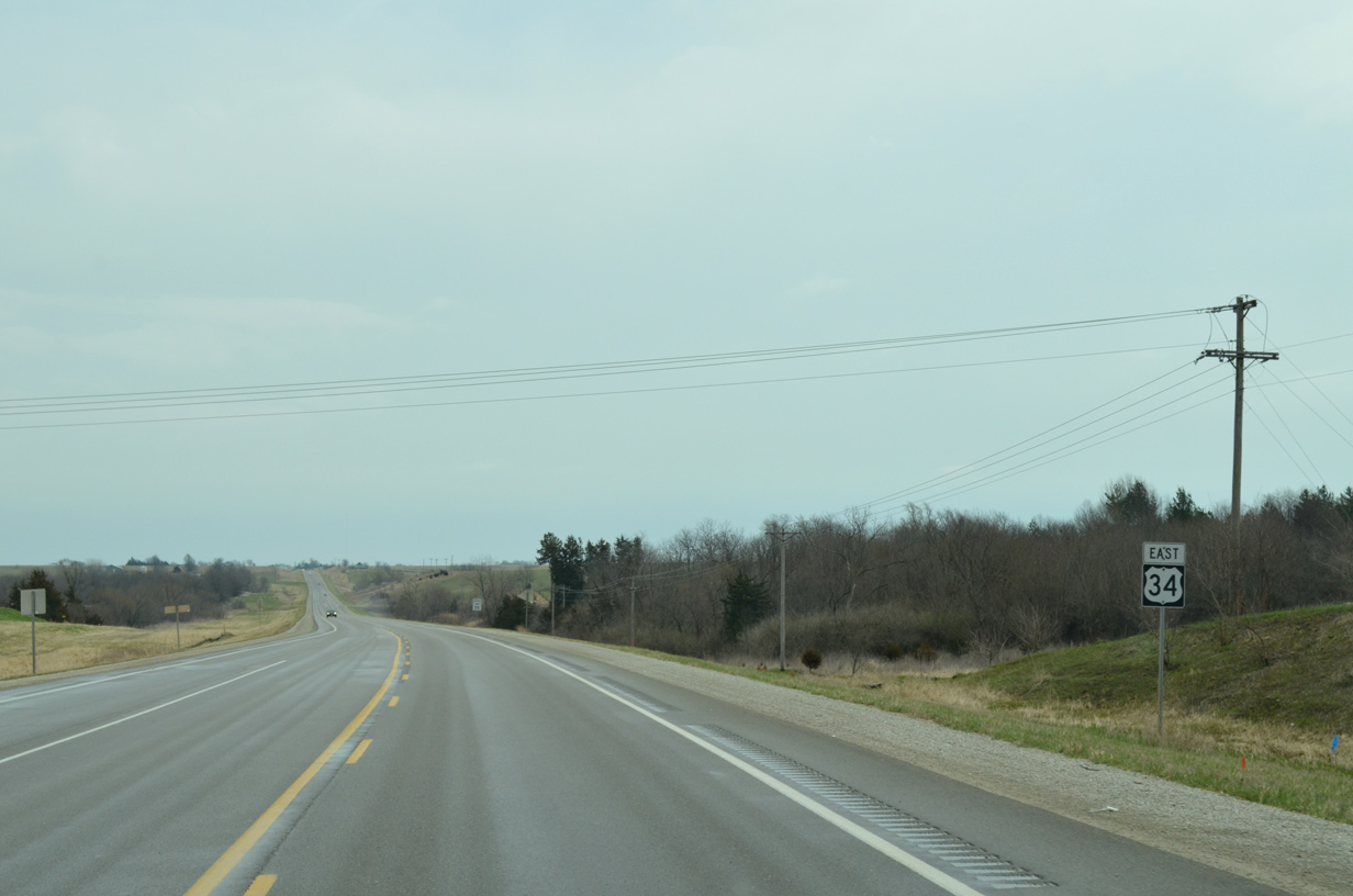
Reassurance marker posted eastbound at 150th Avenue.
03/30/16
U.S. 34 makes a gradual southerly turn alongside White Breast Creek in Ward township. A portion of Old Highway 34 comes into view to the north
03/30/16
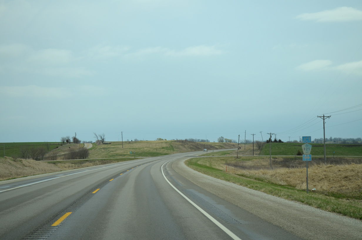
County Road R25 follows Lacelle Road south to Lacelle and 180th Avenue north.
03/30/16
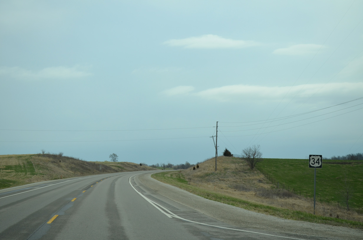
U.S. 34 drops a half mile latitudinally over the ensuing 1.25 miles to circumvent West Lake.
03/30/16
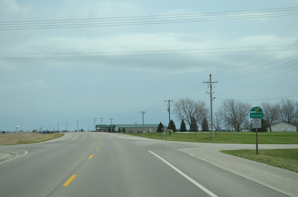
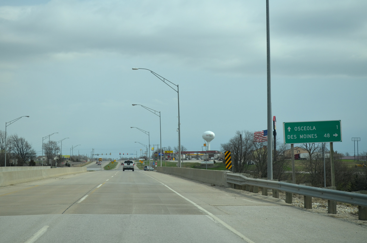
The Osceola city limits extends west along U.S. 34 to the Clarke County Faigrounds and 205th Avenue.
03/30/16
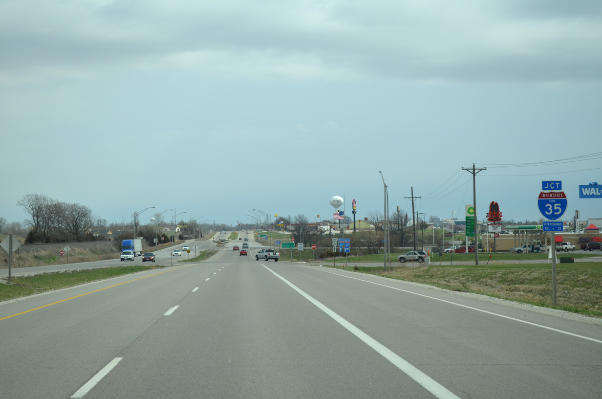
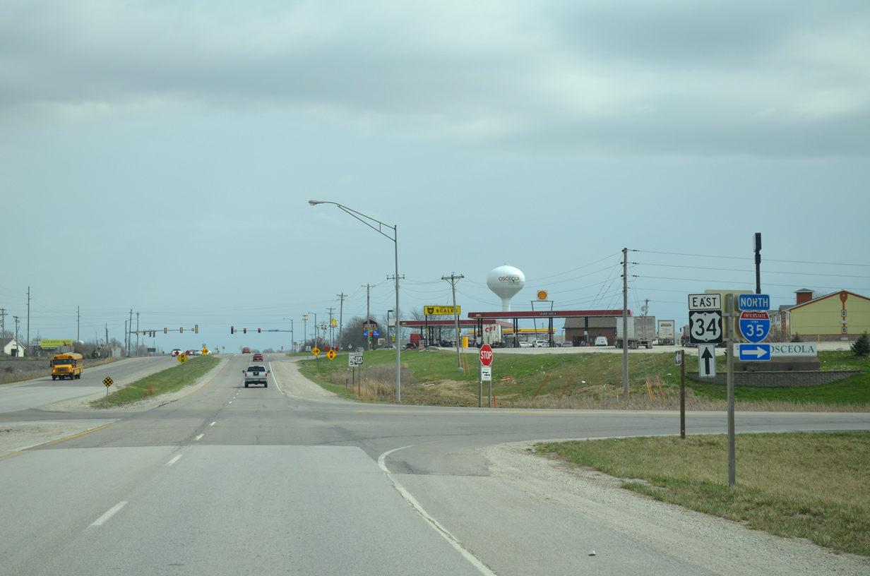
Running between College Avenue and a BNSF Railroad line, U.S. 34 widens to four lanes ahead of Interstate 35.
03/30/16
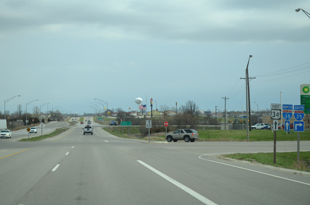
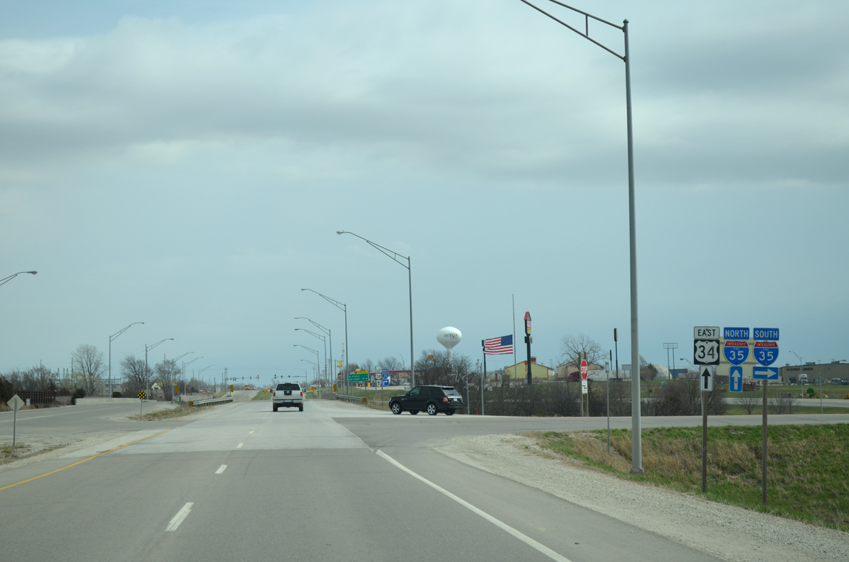
A folded diamond interchange joins the commercialized stretch of U.S. 34 with Interstate 35.
03/30/16
Kansas City lies 144 miles south of Osceola via Interstate 35.
03/30/16
Interstate 35 heads 30 miles south to U.S. 69 outside Lamoni.
03/30/16
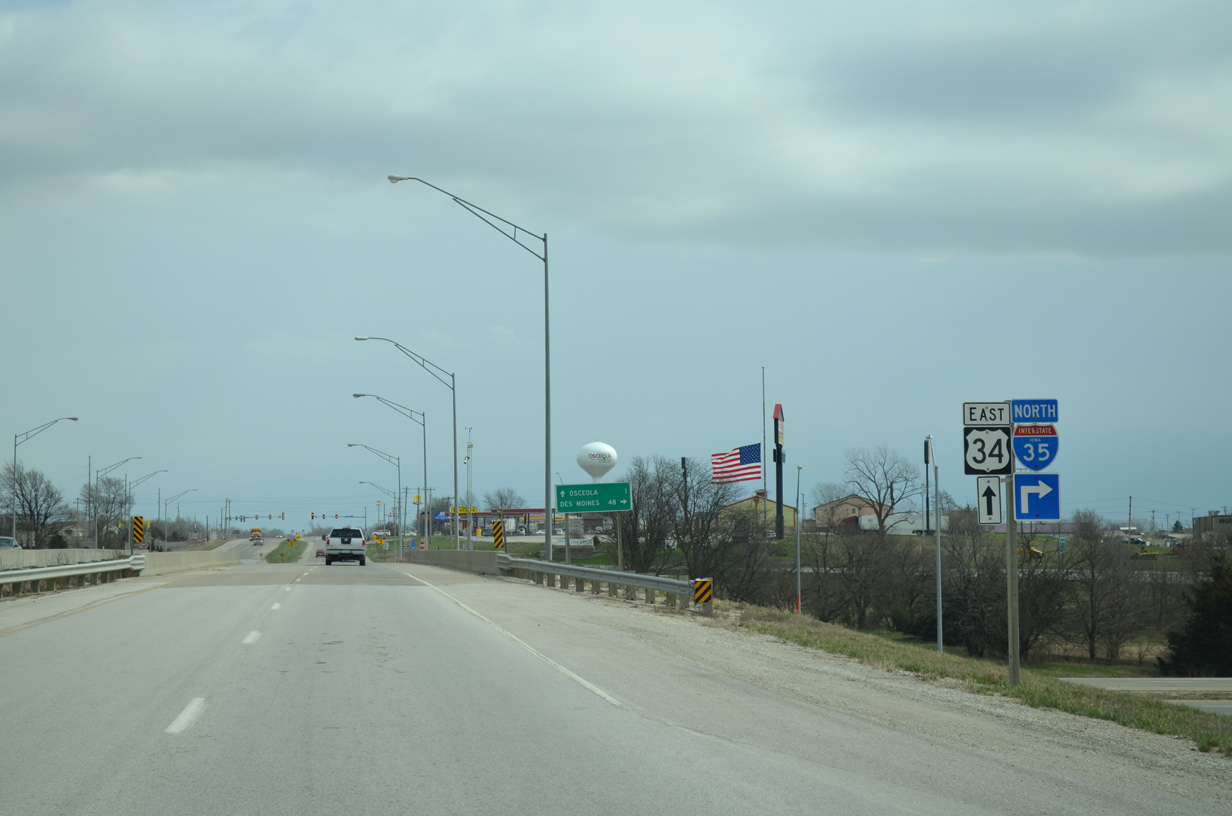
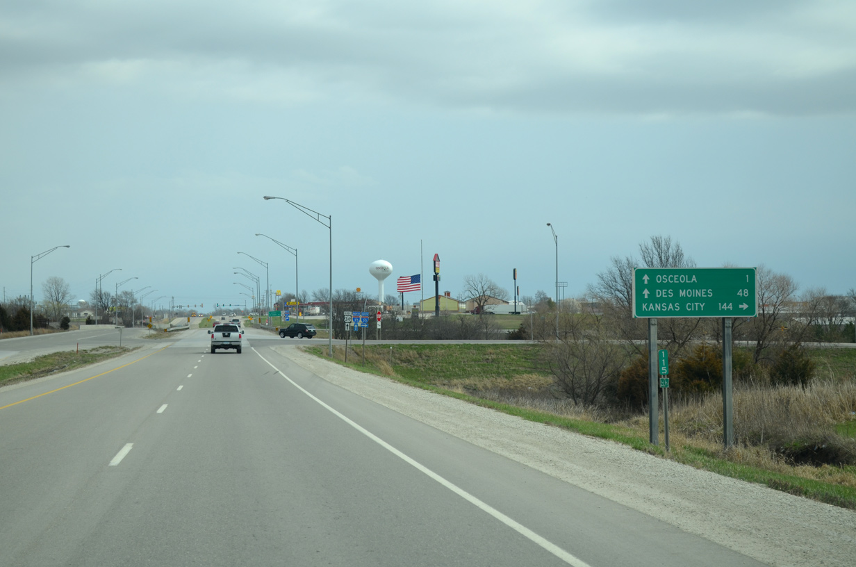
A loop ramp takes motorists onto I-35 north toward Des Moines.
03/30/16
Downtown Des Moines is a 48 mile drive from U.S. 34 via Interstate 35 north and I-235 east.
03/30/16
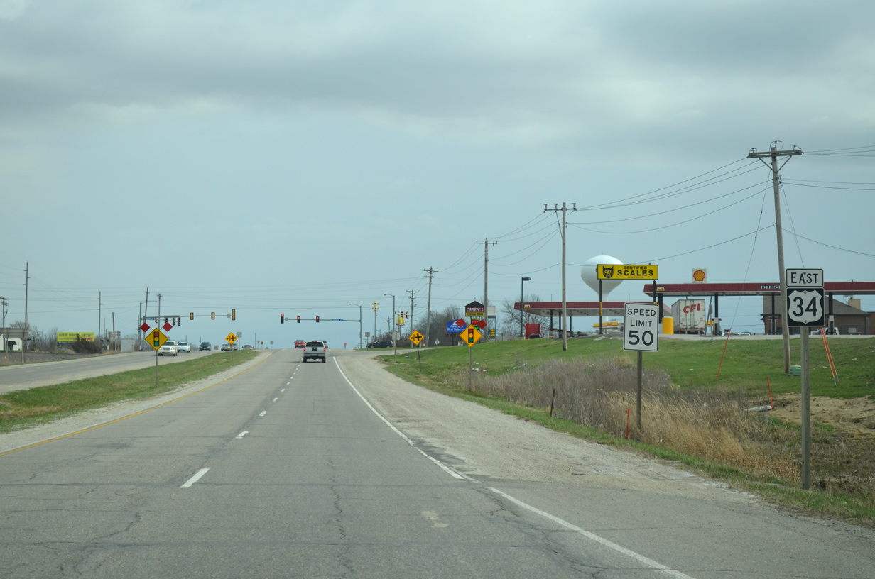
Additional traveler services line the south side of U.S. 34 leading east from the exchange with Interstate 35.
03/30/16
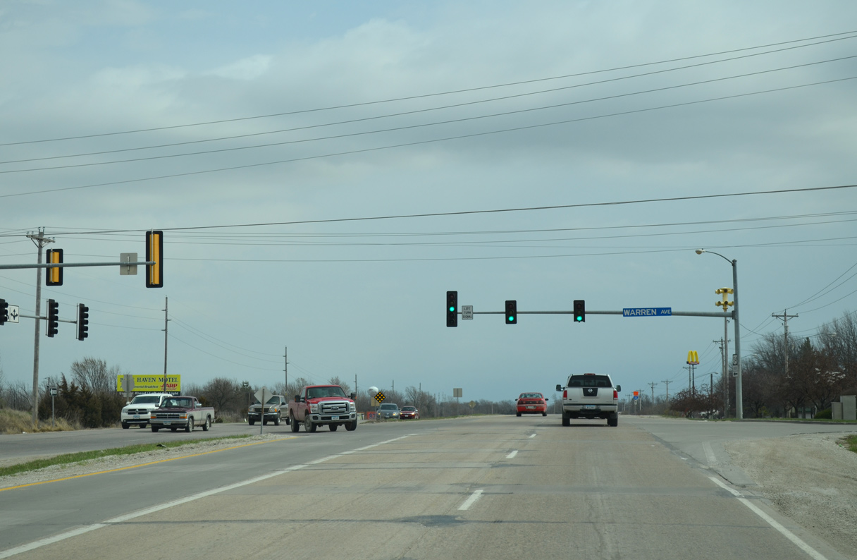
Warren Avenue connects U.S. 34 with residential areas to the north along Truman Road and industrial businesses to the south.
03/30/16
U.S. 34 narrows into a three lane boulevard (McLane Street) at Ridge Road.
03/30/16
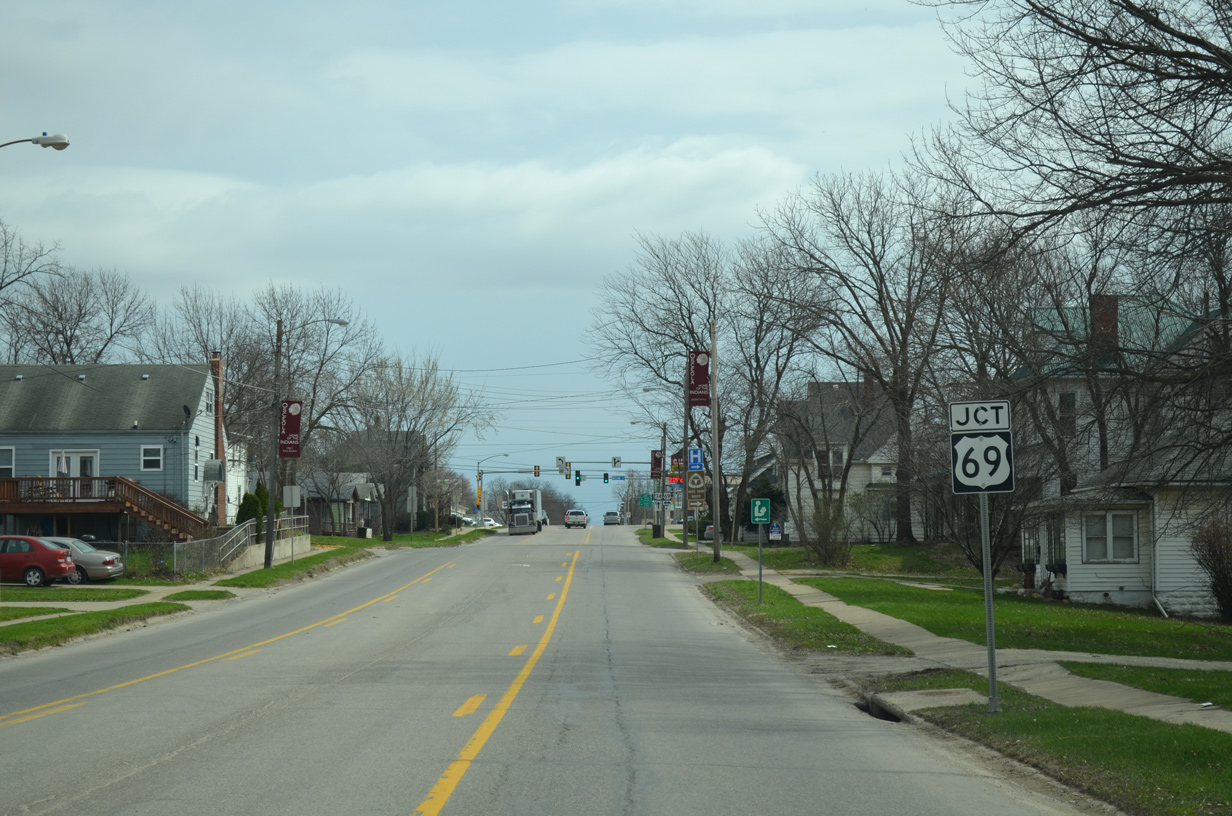
McLane Street enters the Osceola street grid east ahead of U.S. 69 (Main Street). The Mormon Pioneer National Historic Trail turns southward ahead.
03/30/16
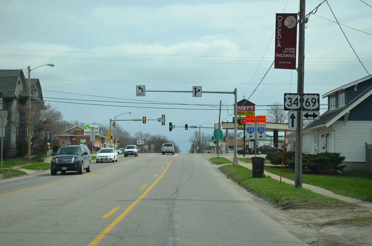
U.S. 69 (Main Street) heads four blocks north to the Clarke County Courthouse in Downtown Osceola. Southward, U.S. 69 travels 12 miles to the Decatur County seat of Leon.
03/30/16
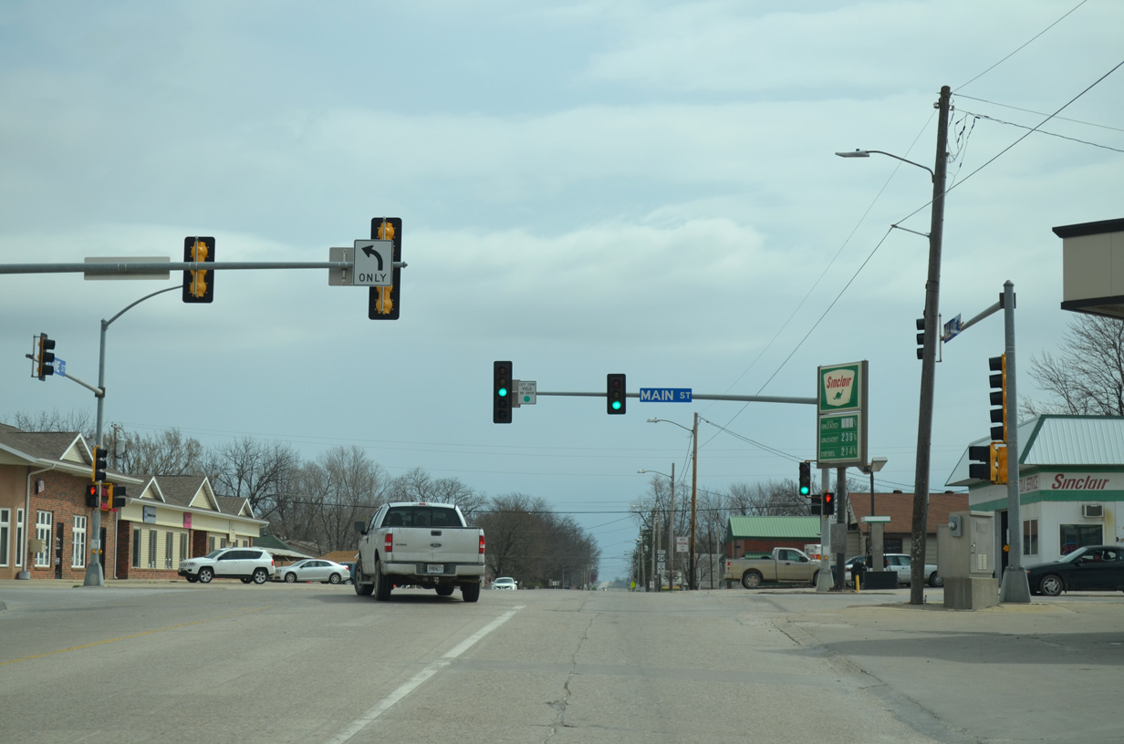
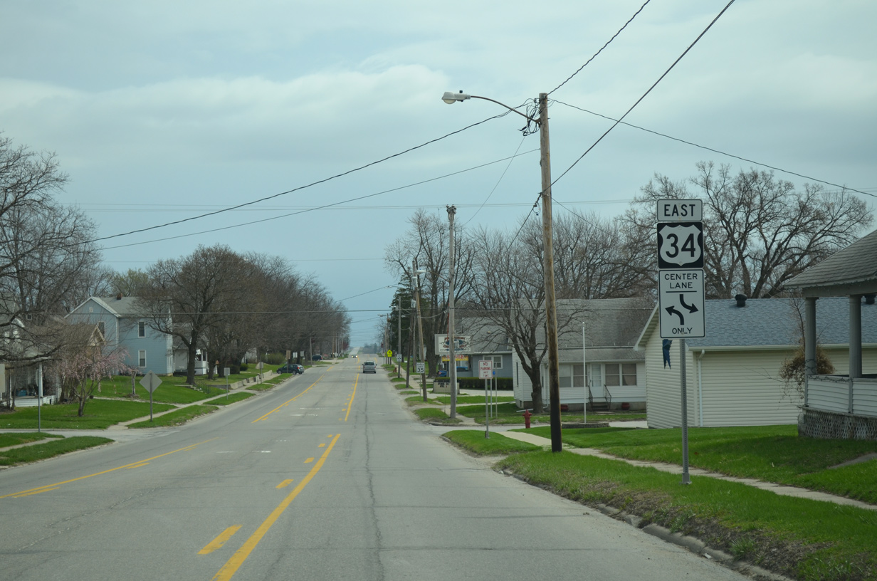
U.S. 34 (McLane Street) east at Main Street in Osceola.
03/30/16
The succeeding confirming marker beyond U.S. 69 stands at Park Street.
03/30/16
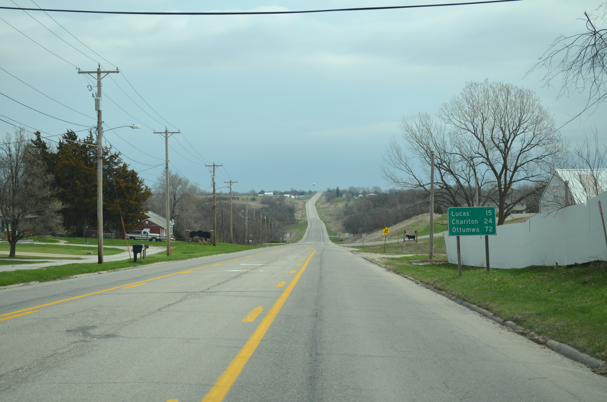
Distance sign posted east after South View Drive for the Lucas County cities of Lucas and Chariton.
03/30/16
U.S. 34 ascends above the BNSF Railroad line east of Idaho Street.
03/30/16
270th Avenue intersects U.S. 34 south of Osceola Municipal Airport (I75) ahead of this reassurance marker.
03/30/16
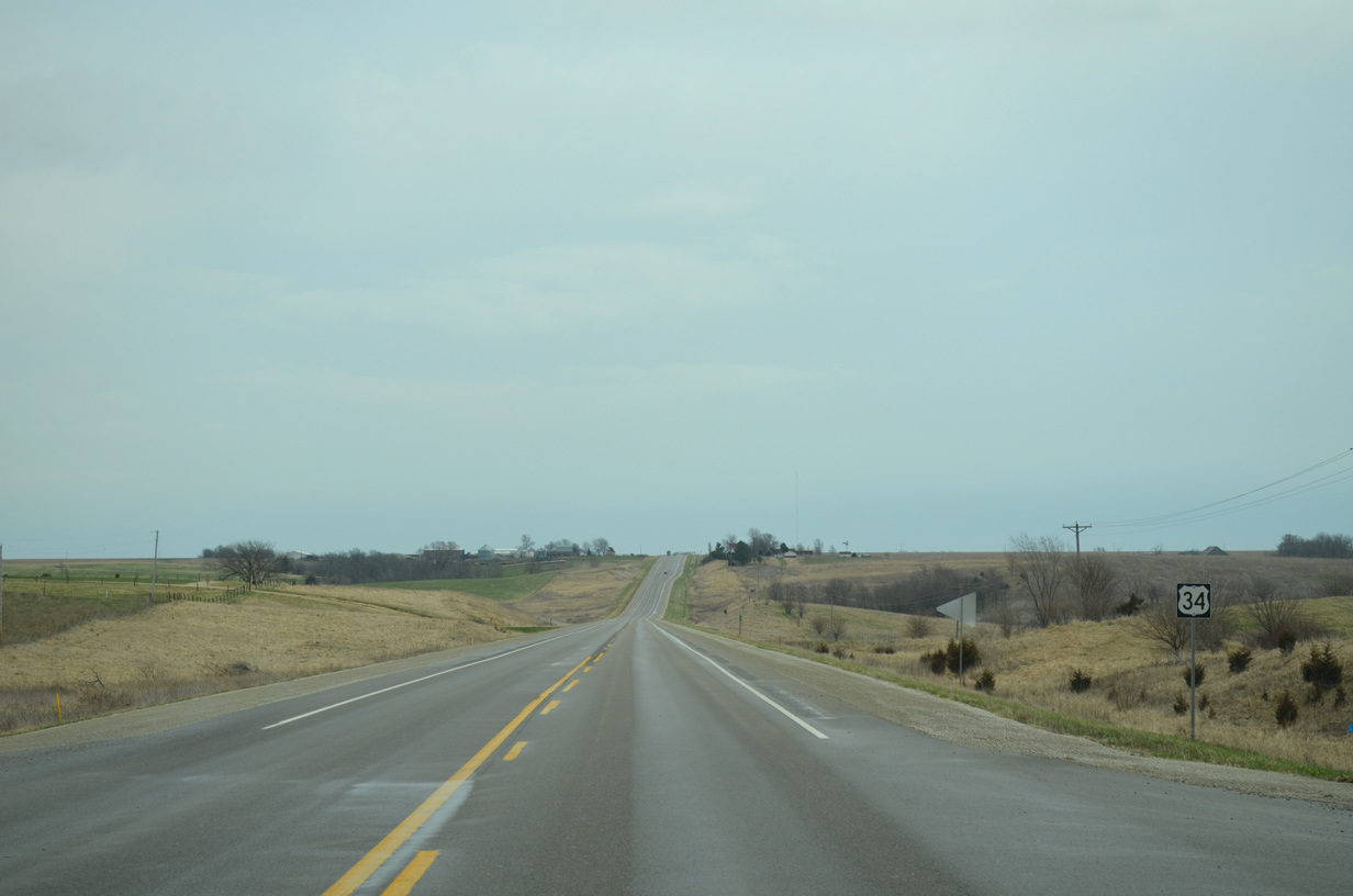
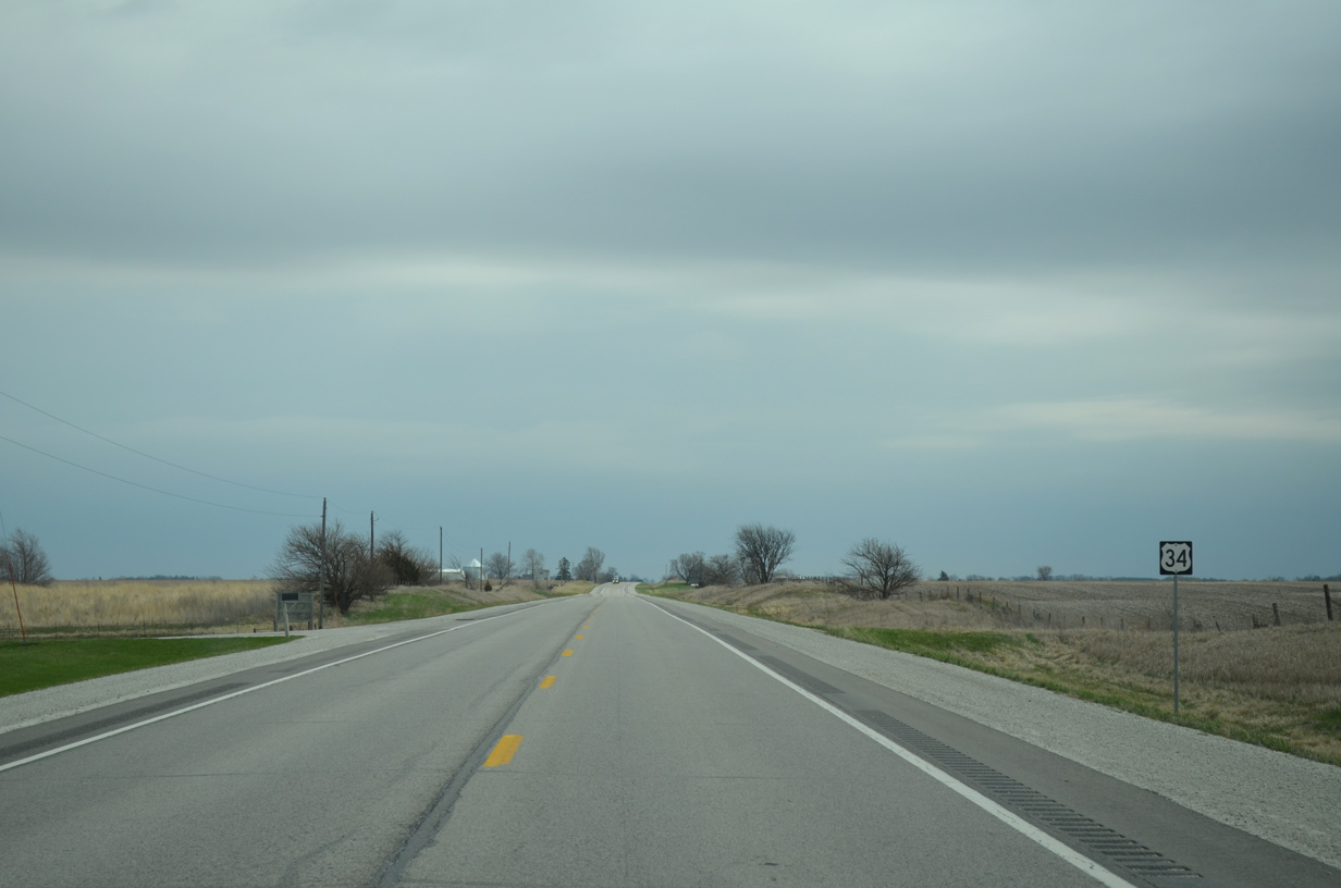
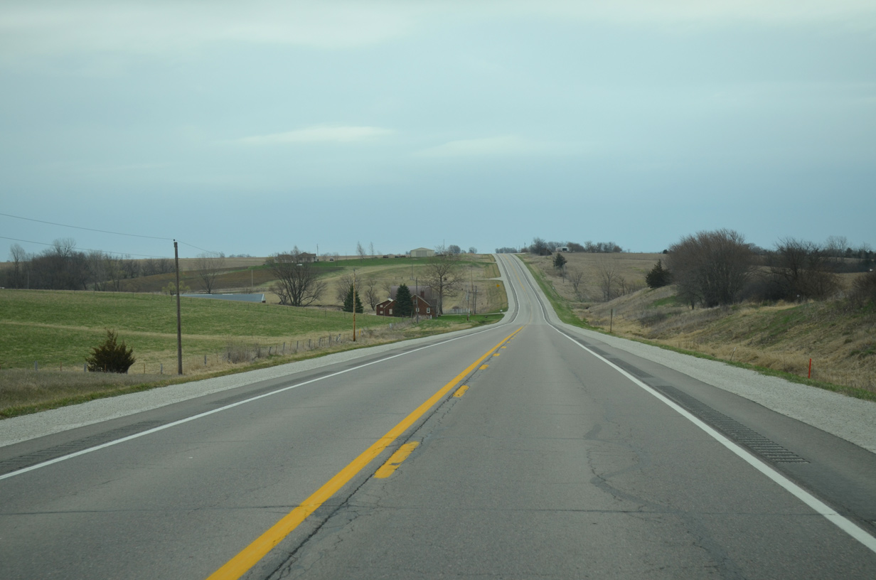
U.S. 34 east of 280th Avenue in Jackson township.
03/30/16
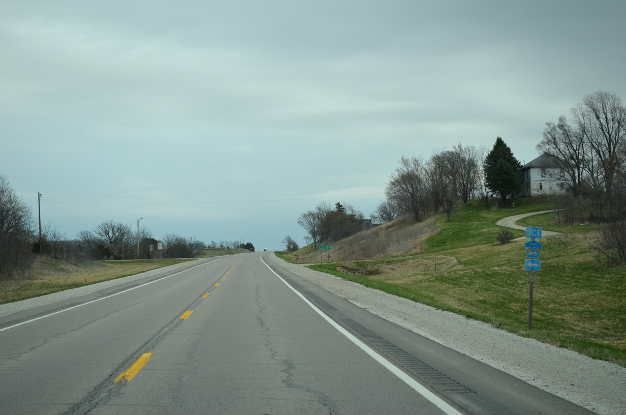
County Road R59 (Liberty Highway) stems 7.9 miles north from U.S. 34 to U.S. 69 at Liberty.
03/30/16
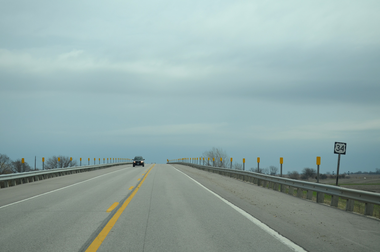
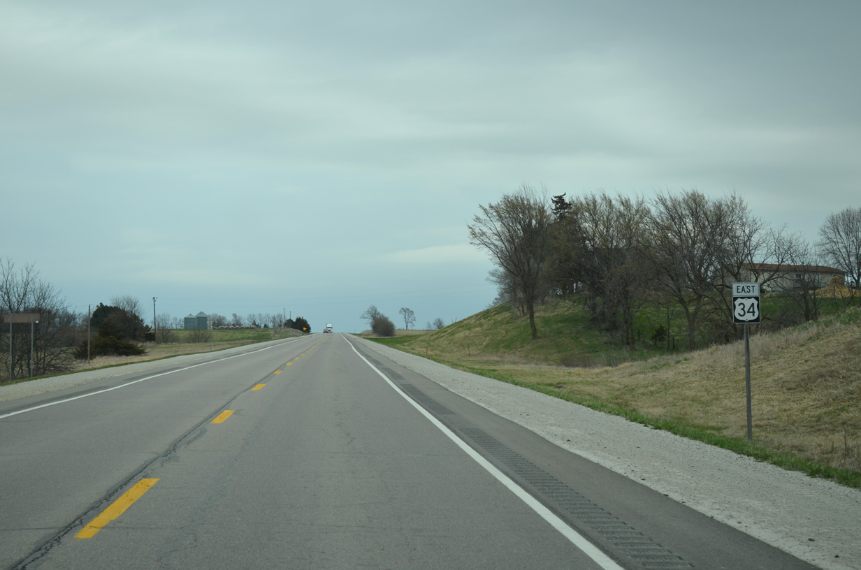
U.S. 34 lowers between the split intersection with 315th Avenue north and south.
03/30/16
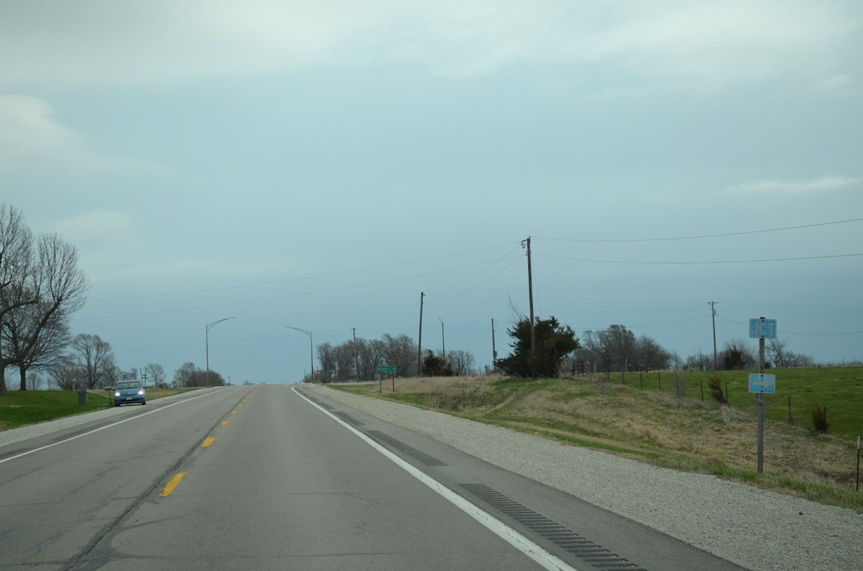
County Road R69 (330th Avenue) crosses paths with U.S. 34 at the settlement of Ottawa.
03/30/16
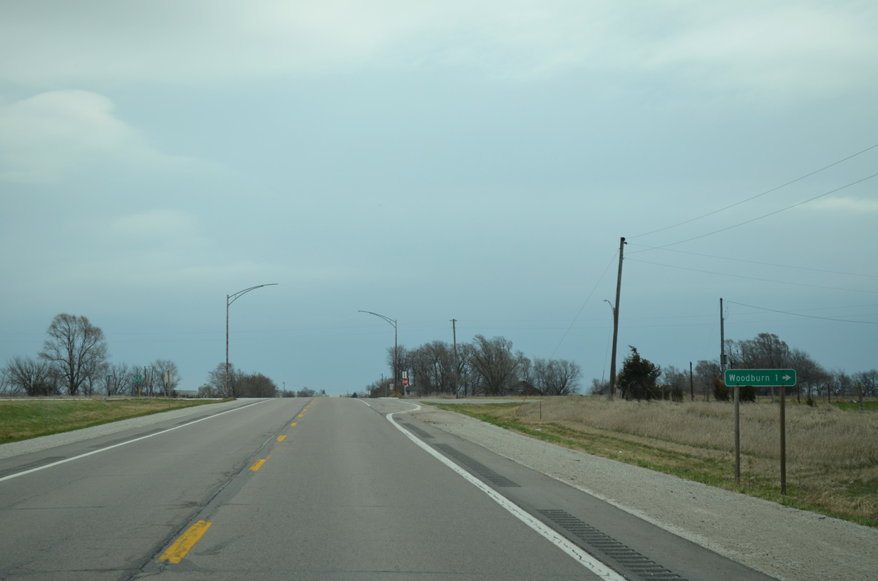
CR R69 leads 1.1 miles south to the rural city of Woodburn along former Iowa 104.
03/30/16

Reassurance marker posted midway between 332nd Avenue and Clarke-Lucas Avenue.
03/30/16
Crossing into Lucas County along U.S. 34 eastbound.
03/30/16


Photo Credits:
- AARoads: 03/30/16
Connect with:
Page Updated Tuesday December 17, 2019.