
U.S. 34
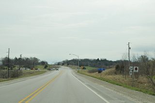
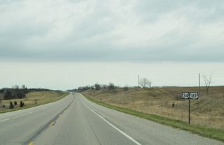
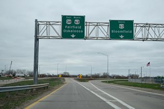
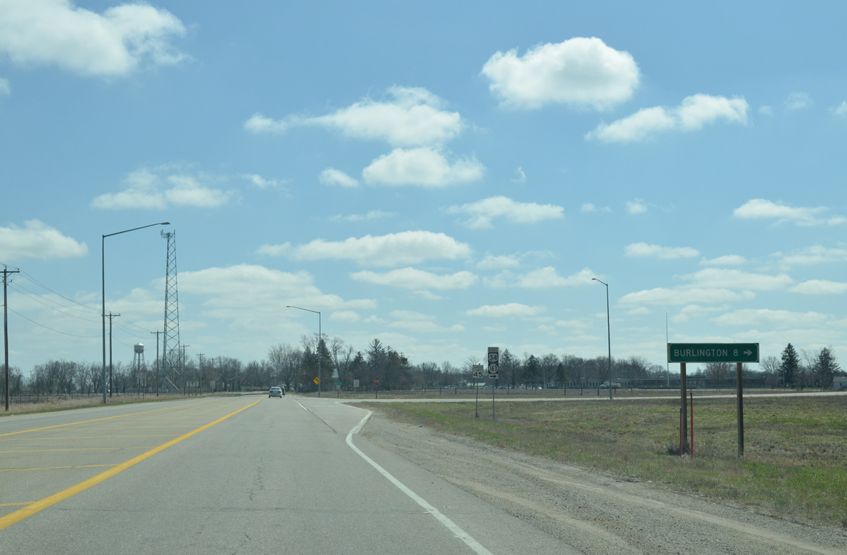
U.S. 34 represents the southernmost of five US highways spanning the width of Iowa. Measuring 269 miles from the Nebraska line across the Missouri River to the Illinois line across the Mississippi River, U.S. 34 travels through 11 counties in the Hawkeye State. The eastern section of U.S. 34 constitutes an expressway corridor alongside Iowa 163 between Ottumwa and Burlington. This includes freeway bypasses of both Fairfield and Mount Pleasant.
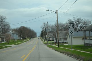
Business routes for U.S. 34 are posted at Chariton, Ottumwa, Fairfield and Mount Pleasant. U.S. 34 Business in Fairfield was approved by the American Association of State Highway and Transportation Officials (AASHTO) on September 29, 2007. The 5.85 mile long alignment was established as U.S. 34 shifted southward onto a new 7.06 mile long bypass around Fairfield.
U.S. 34 Iowa Guides
East
Mills County - 55 photos
Montgomery County - 34 photos
Adams County - 34 photos
Union County - 33 photos
Clarke County - 40 photos
Lucas County - 34 photos
Ottumwa - 31 photos
Ottumwa to Mount Pleasant - 50 photos
Burlington - 37 photos
West
Burlington - 29 photos
 scenes
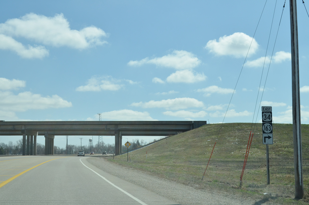
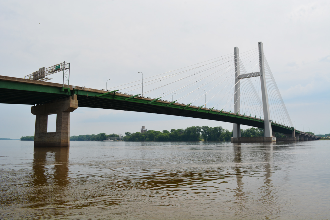
Des Moines County Road X40 (Beaverdale Road) south at the U.S. 34/Iowa 163 freeway around West Burlington.
03/25/16
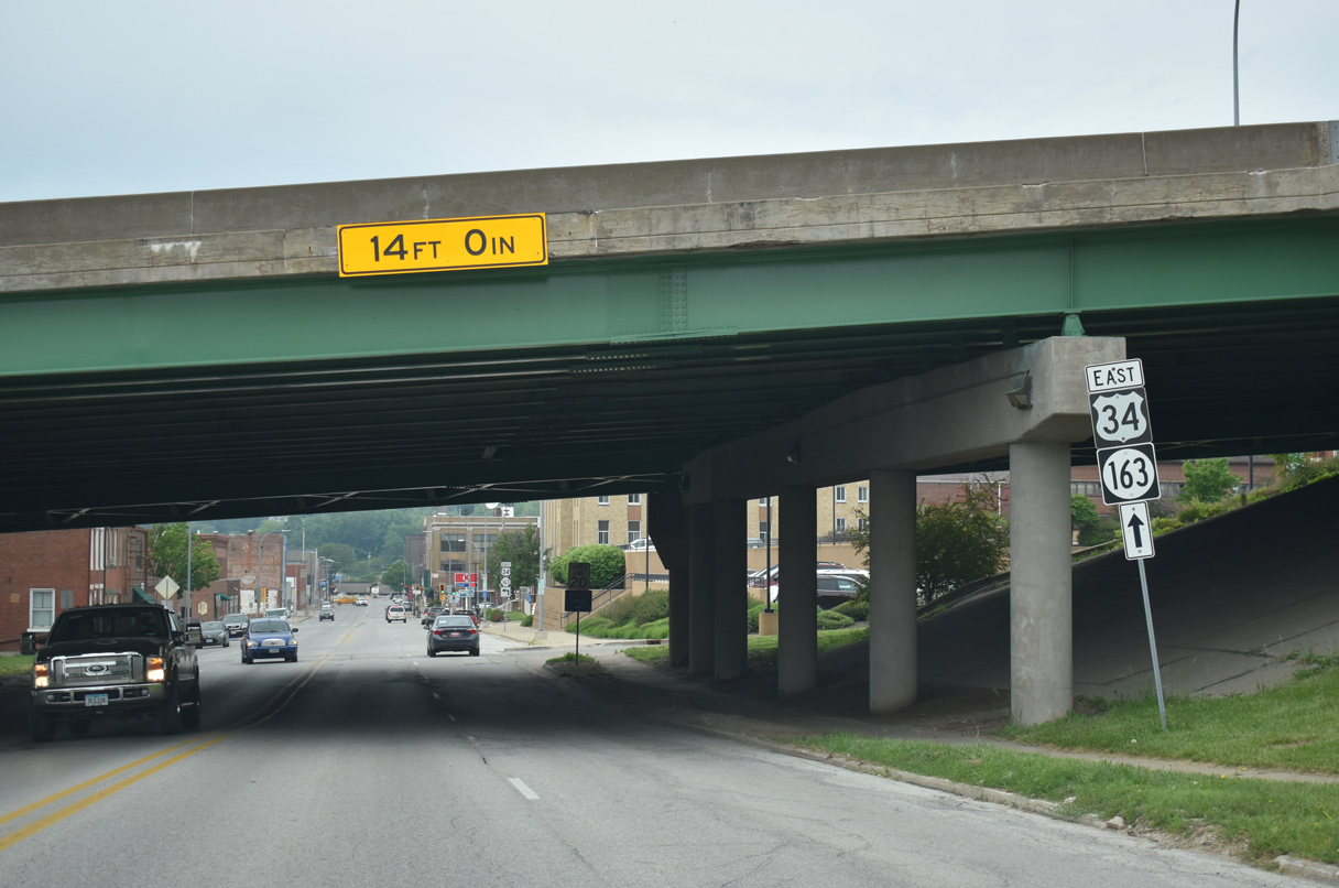
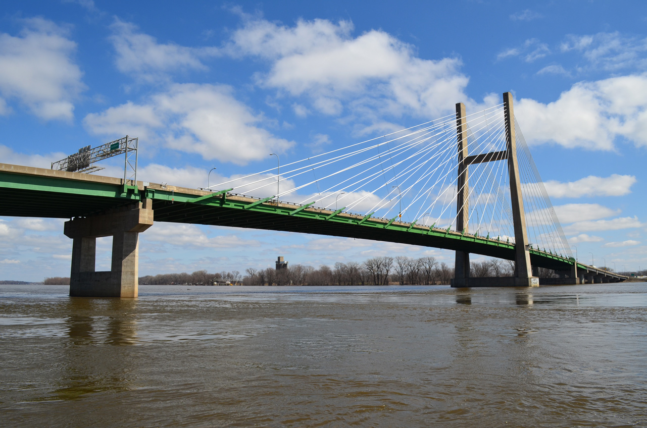
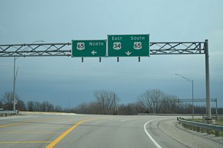
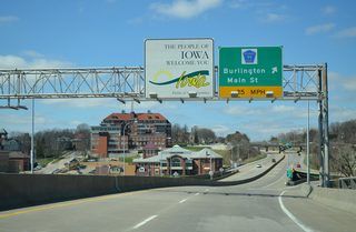
Main Street (former Iowa 99) south at the folded diamond interchange with U.S. 34/Iowa 163 at the west end of the Great River Bridge in Burlington.
05/29/18
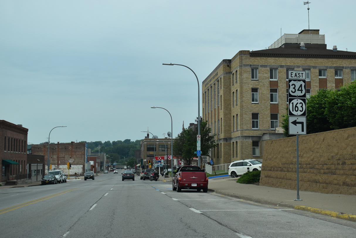
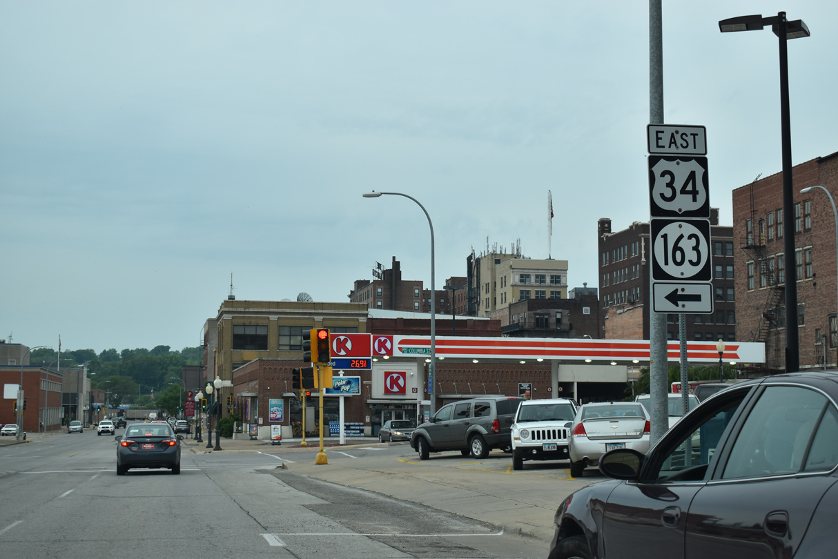
Main Street proceeds south into Downtown Burlington from below the U.S. 34/Iowa 163 freeway. The eastbound entrance ramp joins the Great River Bridge from Columbia Street adjacent to the Des Moines County Courthouse.
05/29/18
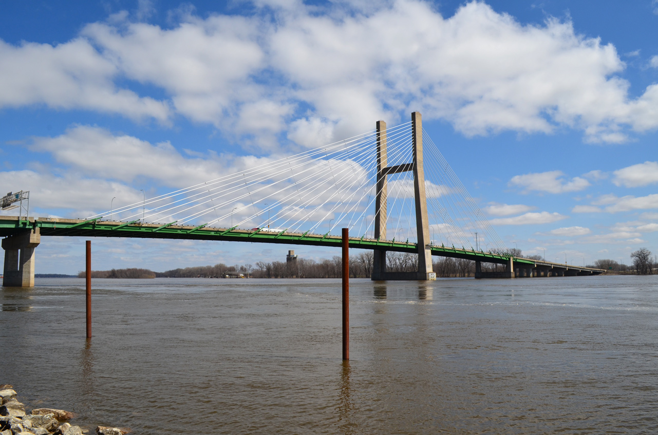
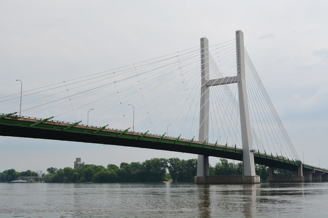
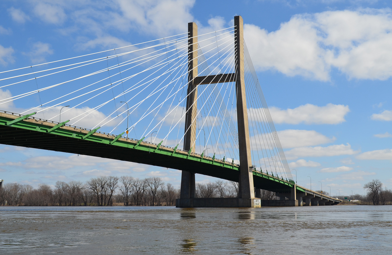
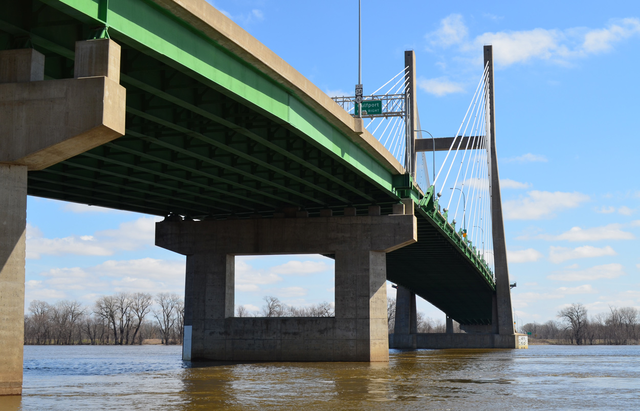
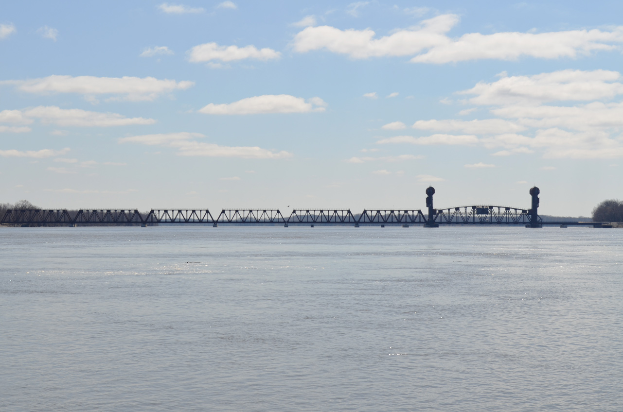
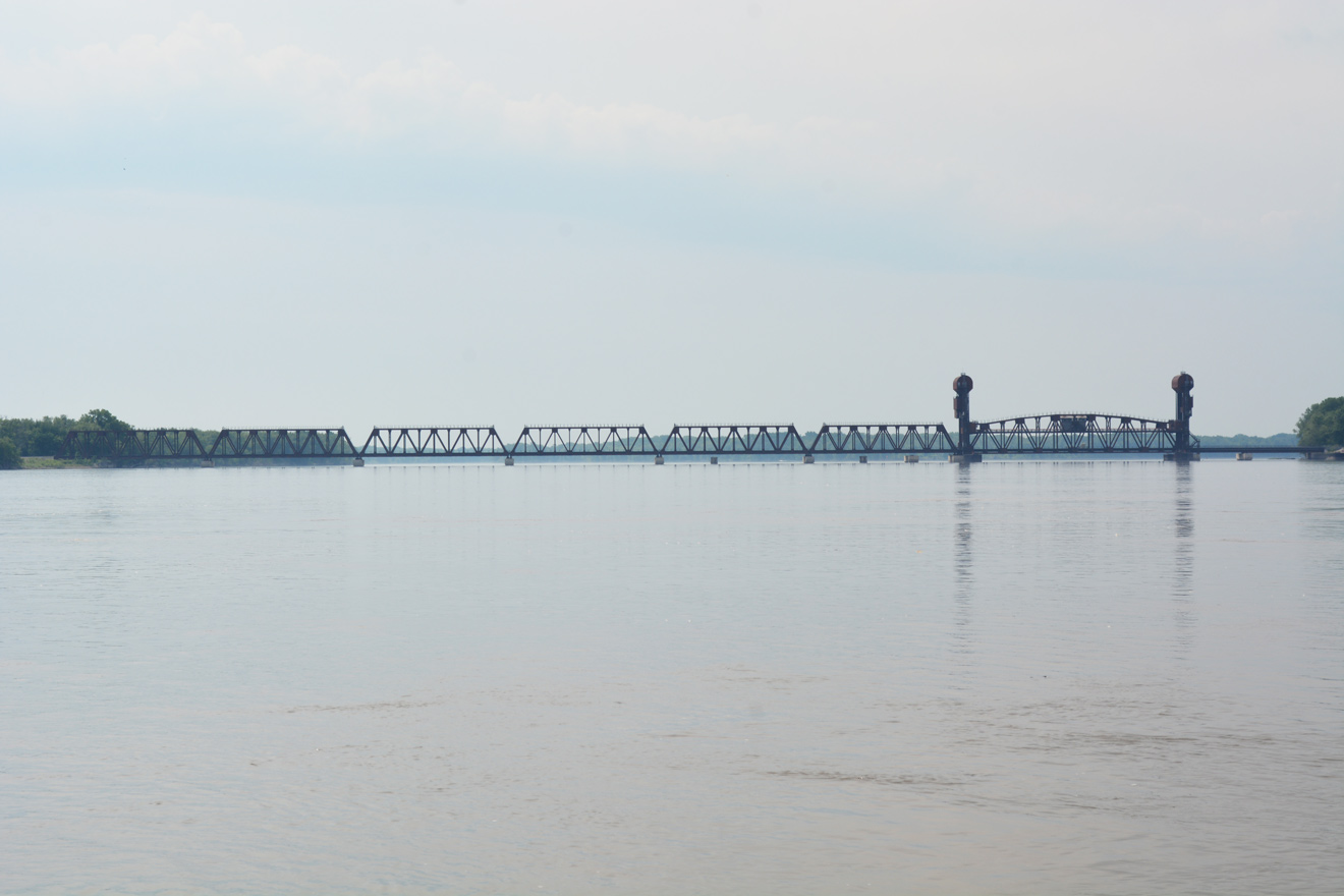
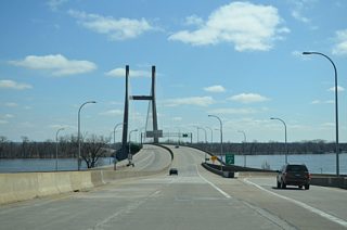
U.S. 34 crosses the Mississippi River from Burlington into Gulfport, Illinois.
05/29/18
Photo Credits:
- Alex Nitzman, Bill Gatchel: 03/25/16
- Alex Nitzman: 05/29/18
Connect with:
Page Updated Friday December 20, 2019.