
U.S. 61

U.S. 61 stretches nearly 122 miles through southeastern Louisiana, connecting Baton Rouge with New Orleans along Airline Highway. The highway was the main route between the two population centers until Interstate 10 was completed. North from Baton Rouge, U.S. 61 continues with four lanes to Natchez, Mississippi. This portion of roadway was also cosigned as U.S. 65 until 1951.
U.S. 61 Louisiana Guides
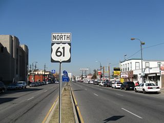
North - New Orleans to LaPlace - 44 photos
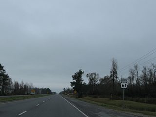
North - Baton Rouge to Mississippi - 53 photos
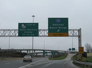
South - Baton Rouge vicinity - 10 photos
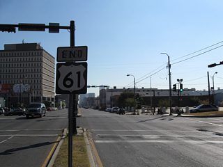
South - LaPlace to New Orleans - 52 photos
 scenes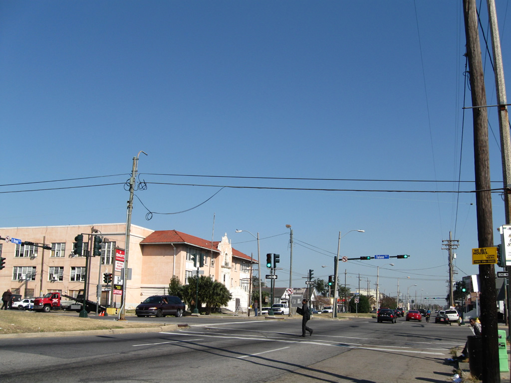
Broad Avenue lowers from a viaduct across I-10 and a trumpet interchange with Poydras Street to intersect the south end of U.S. 61 and the U.S. 90 turn between Tulane Avenue and Broad Avenue east. Neither US highway is acknowledged in the this direction.
11/20/08
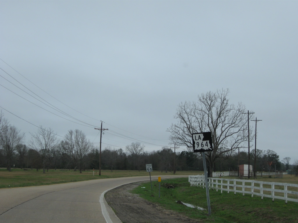
LA 964 begins from U.S. 61 at Alsen and leads northeast along Old Scenic Highway to west Zachary. Pictured here is the first northbound shield posted at the two-wye interchange with Scenic Highway.
01/05/09
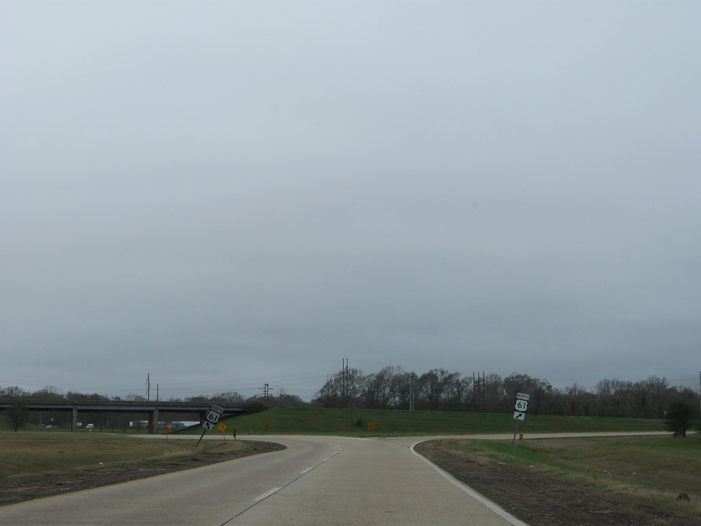
LA 964 concludes at the ramp split for U.S. 61 (Scenic Highway) north to St. Francisville and south to Scotlandville in Baton Rouge.
01/05/09
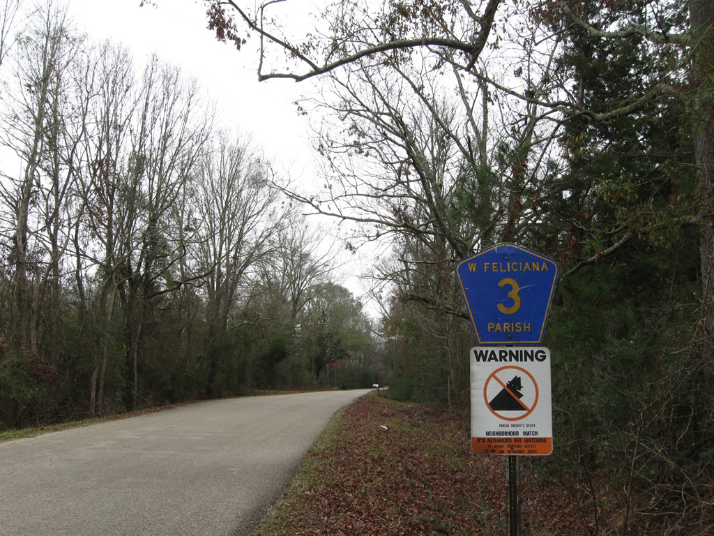
West Feliciana Parish Route 3 shield posted along Rosemound Loop, a former alignment of U.S. 61 near the Mississippi state line.
01/05/09
Photo Credits:
- AARoads: 11/20/08, 01/05/09
- ABRoads: 01/05/09
Connect with:


Page Updated Tuesday October 04, 2016.