
U.S. 89 North - Kanab to Sevier
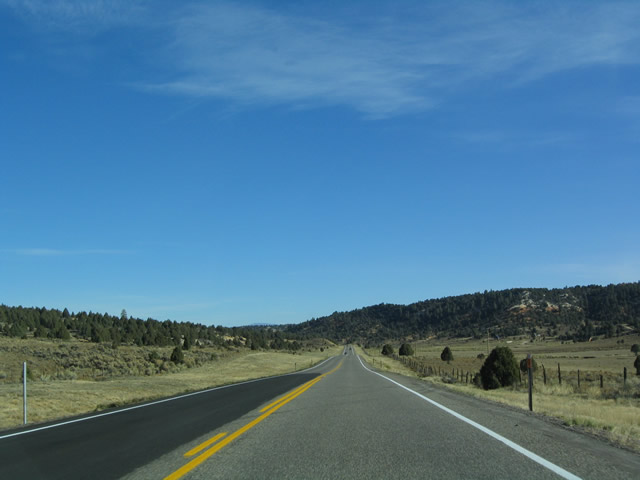
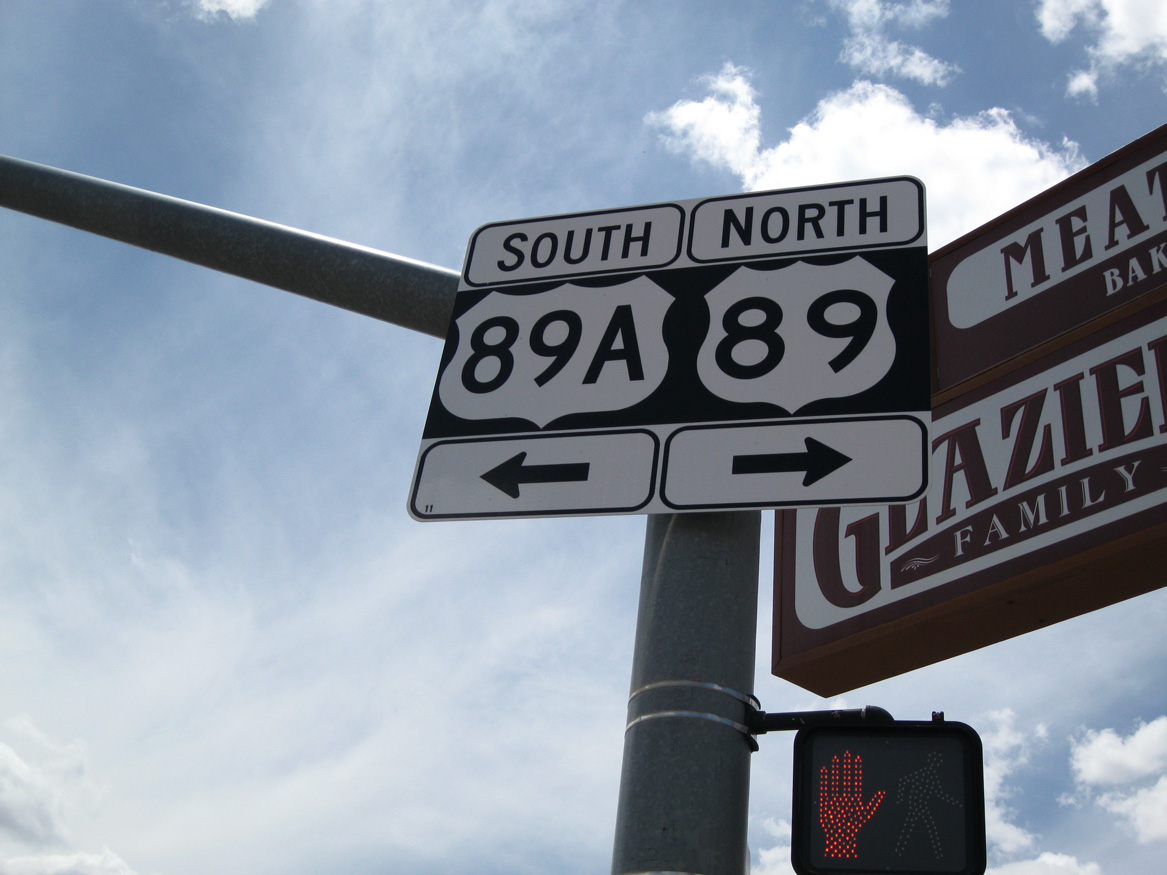
After traveling almost due west through the vicinity of Grand Staircase-Escalante, U.S. 89 enters the city of Kanab in southern Utah and meets the north end of U.S. 89A. Kanab is the county seat of Kane County and had a population of 3,564 as of the 2000 Census. While the area was settled in 1870, it was not incorporated as a city until 1935.
05/23/11
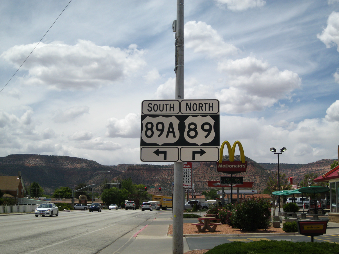
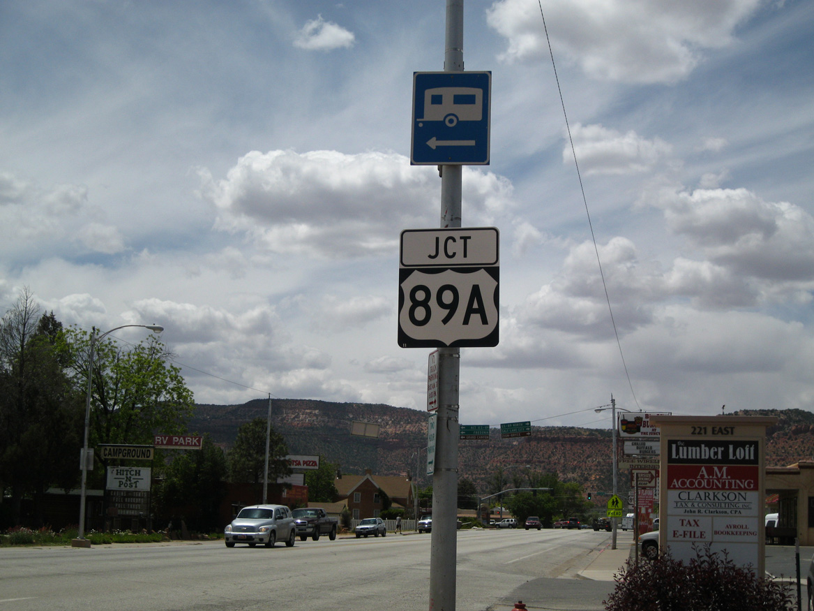
U.S. 89A connects U.S. 89 in Kanab with Fredonia, Arizona. Extending just 2.945 miles into Utah, U.S. 89A continues south and then east toward the North Rim of the Grand Canyon before rejoining U.S. 89.
05/23/11
Northbound U.S. 89 meets U.S. 89A (former SR 11) at this traffic signal. Kanab represents a hub for those seeking magnificent Southwestern scenery, representing a starting point to see Zion National Park, Bryce National Park, and Grand Canyon National Park, among many other scenic areas.
05/23/11
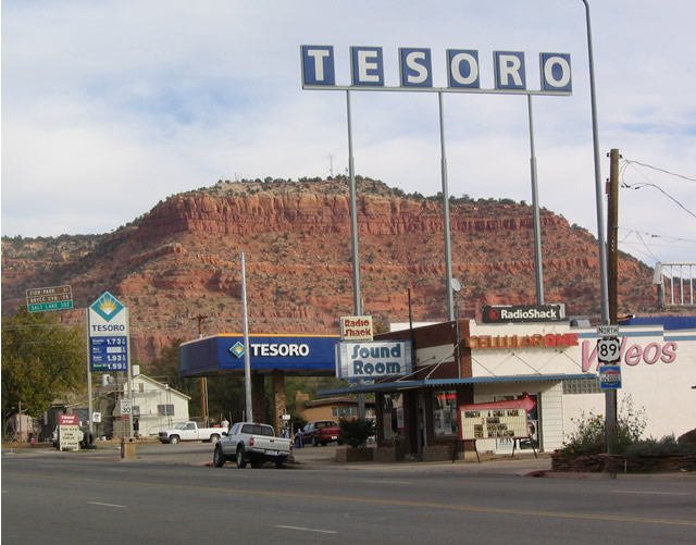
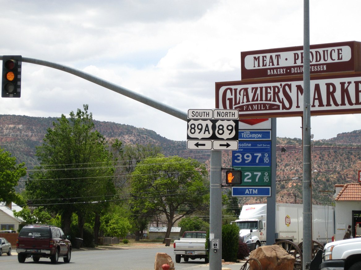
U.S. 89 proceeds through the rest of Kanab beyond U.S. 89A. U.S. 89 north of Kanab is a designated scenic byway from here north to SR 12 and Bryce Canyon Junction.
10/26/03
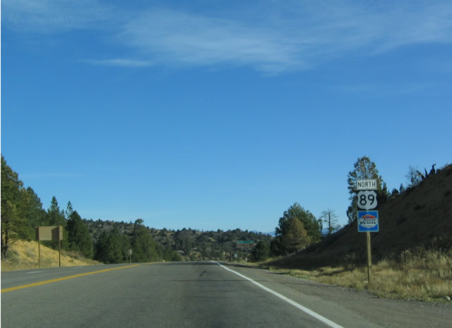
This U.S. 89 shield is located just after the east end of SR 14 at Long Valley Junction in northern Kane County.
10/25/03
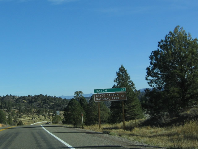
A pair of distance signs follow along U.S. 89 north from SR 14 in Long Valley Junction. This first sign indicates the distance to tiny Hatch and Bryce Canyon National Park via SR 12.
10/25/03
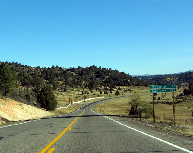
This second distance sign at Long Valley Junction provides the distance to two other locations: Panguitch, the Garfield County seat and Salt Lake City, the state capital.
10/25/03
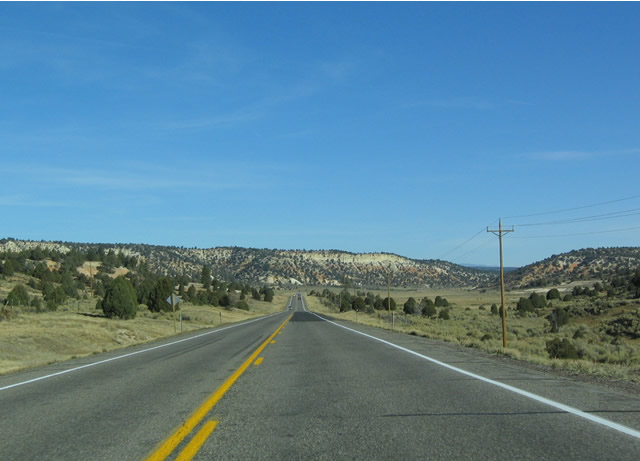
Advancing north through the Sevier River valley along U.S. 89 between Long Valley Junction and the Garfield County line. The Sevier River is part of a system of rivers that drain to the Great Basin rather than the Colorado River.
10/25/03
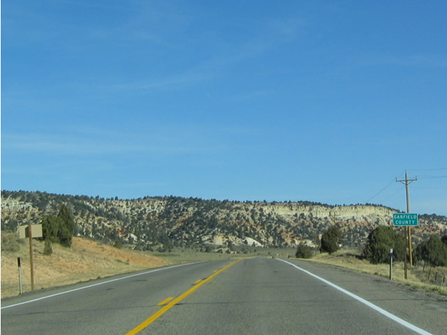
Northbound U.S. 89 at the Garfield-Kane County Line.
10/25/03
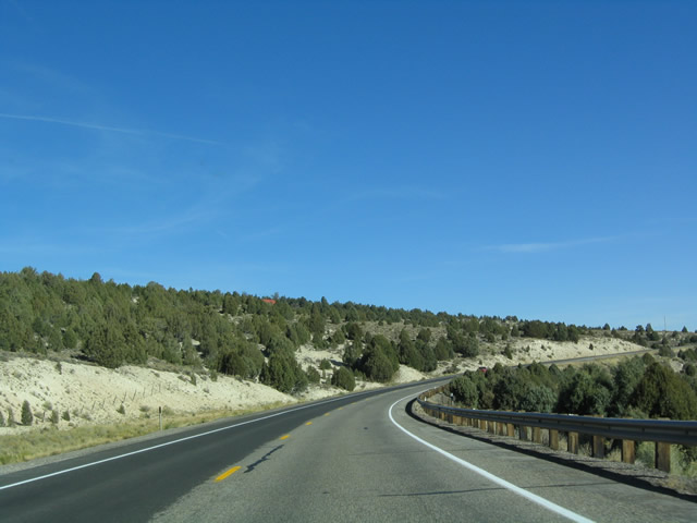
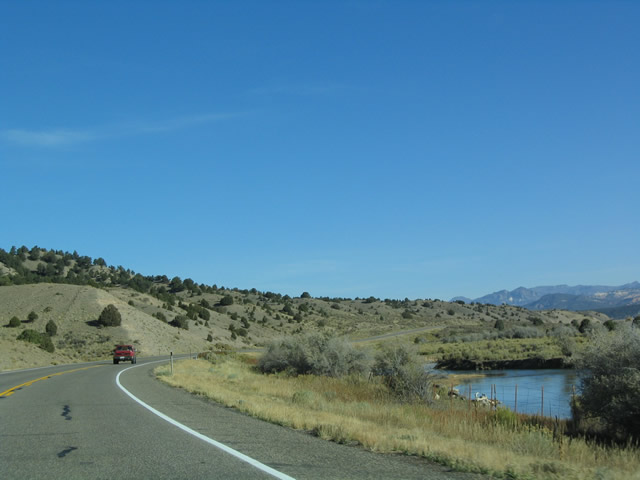
The scenic drive along U.S. 89 north remains alongside the Sevier River from the county line and Sawyer Point northward toward Hatch.
10/25/03
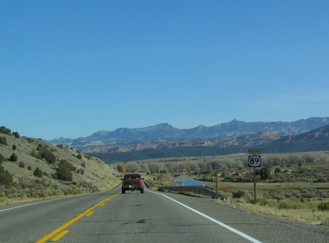
Continuing north, this view is along U.S. 89 north of Hatch and south of Bryce Canyon Junction.
10/25/03
The forthcoming SR 12 scenic byway serves a number of tourist and recreational attractions, including several national parks and state parks.
10/25/03
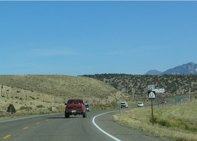
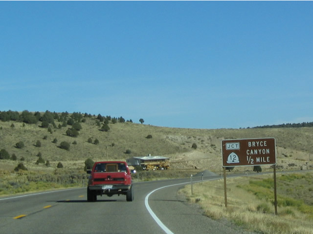
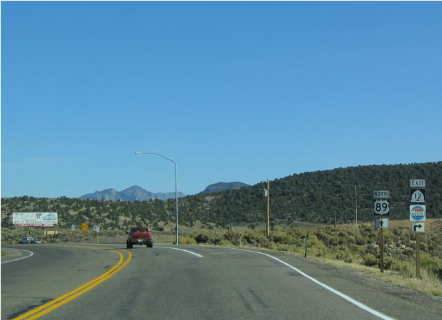
SR 12 commences a 122.86 mile course from U.S. 89 at Bryce Canyon Junction.
10/25/03
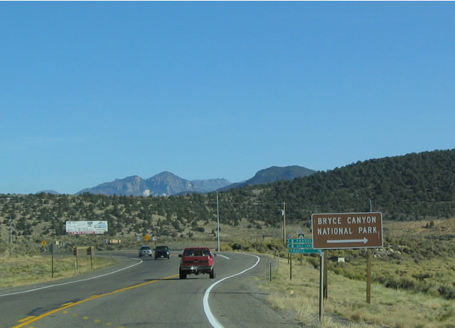
Most travelers headed east on SR 12 are most likely headed toward Bryce Canyon National Park, which is 15 miles east of here.
10/25/03
SR 12 heads east toward Red Canyon, the northern end of Grand Staircase-Escalante National Monument, and Cannonville/Kodachrome Basin State Park.
10/25/03
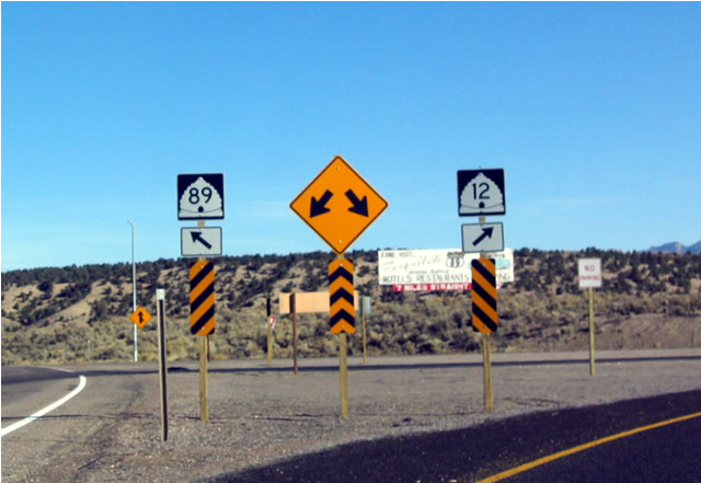
An erroneous SR 89 shield was posted at the ramp for SR 12 east. A similar error existed on westbound SR 12 as it approached U.S. 89.
This assembly was corrected by 2009, and subsquently removed by 2014.
10/25/03
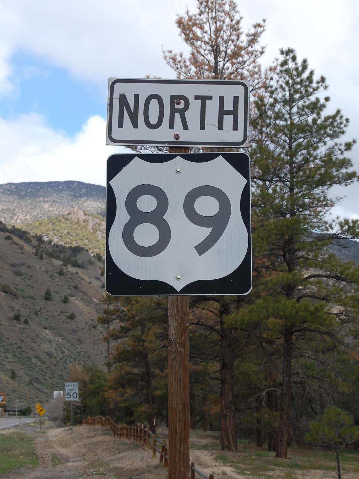
This U.S. 89 north route marker stands just beyond the Piute County line alongside Big Rock Candy Mountain.
04/30/11
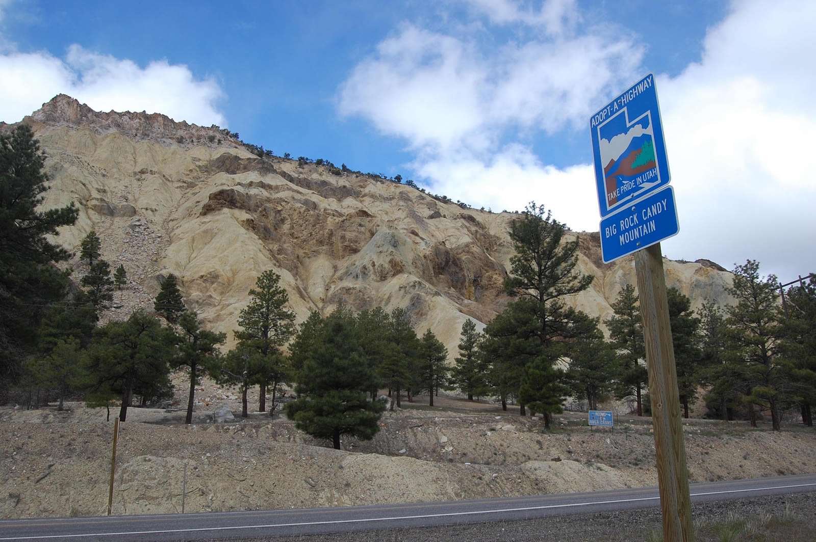
Big Rock Candy Mountain tops out at 6,962 feet to the immediate west of U.S. 89.
04/30/11
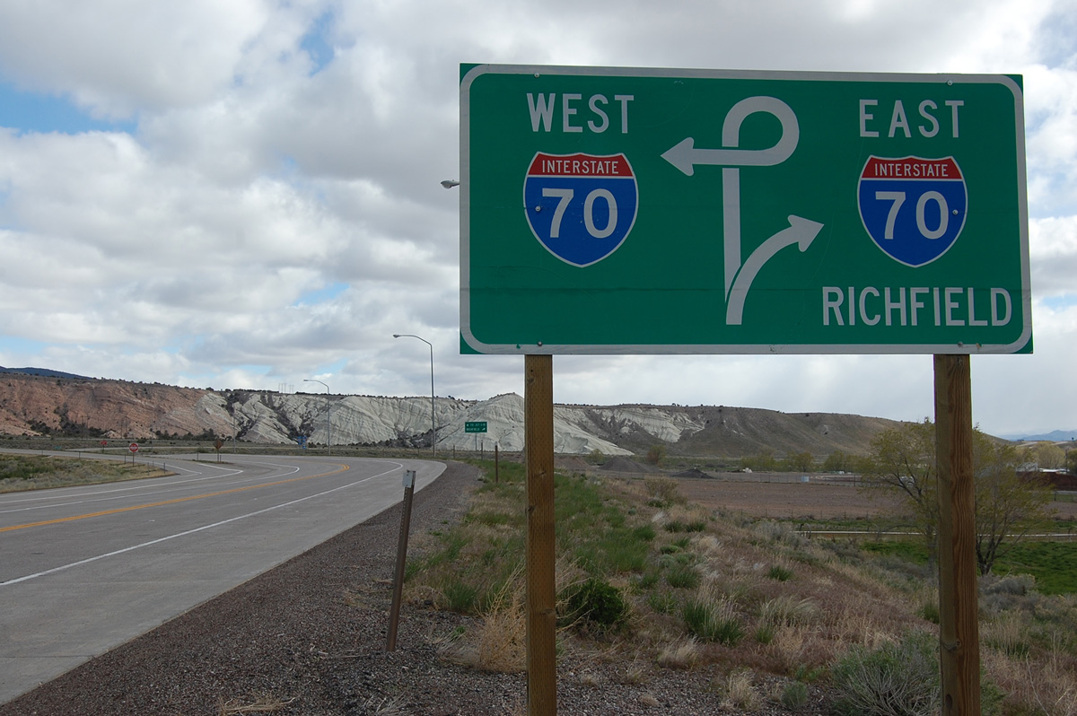
Exiting Marysvale Sevier Canyon, U.S 89 crosses paths with Clear Creek Canyon Road west (old SR 4) and Sevier Highway (former U.S. 89) east. A trumpet interchange unfolds north from there with Interstate 70 west to Cove Fort east to Richfield.
04/30/11
Photo Credits:
- Landry Heaton: 05/23/11
- Andy Field: 10/25/03, 10/26/03
- Karl Forth: 04/30/11
Connect with:
Page Updated Thursday June 30, 2016.