
U.S. 90 East - Baldwin County

 East
East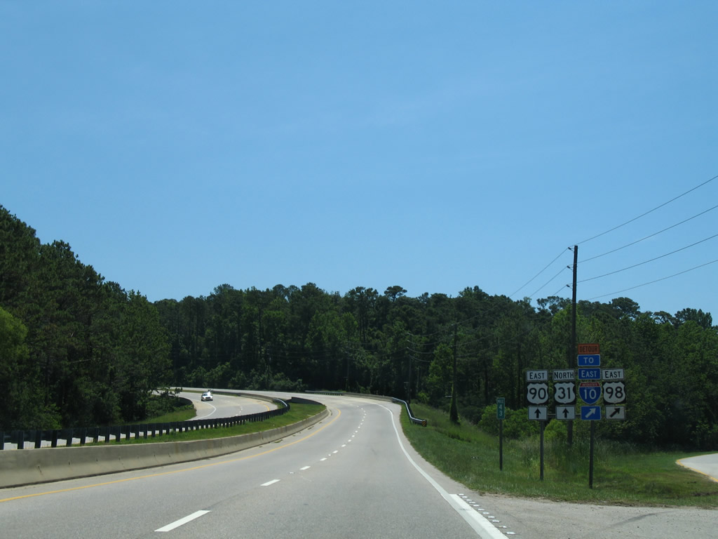
The U.S. 98 expressway arcs away from the wye interchange with U.S. 90 (Spanish Fort Boulevard).
06/06/06
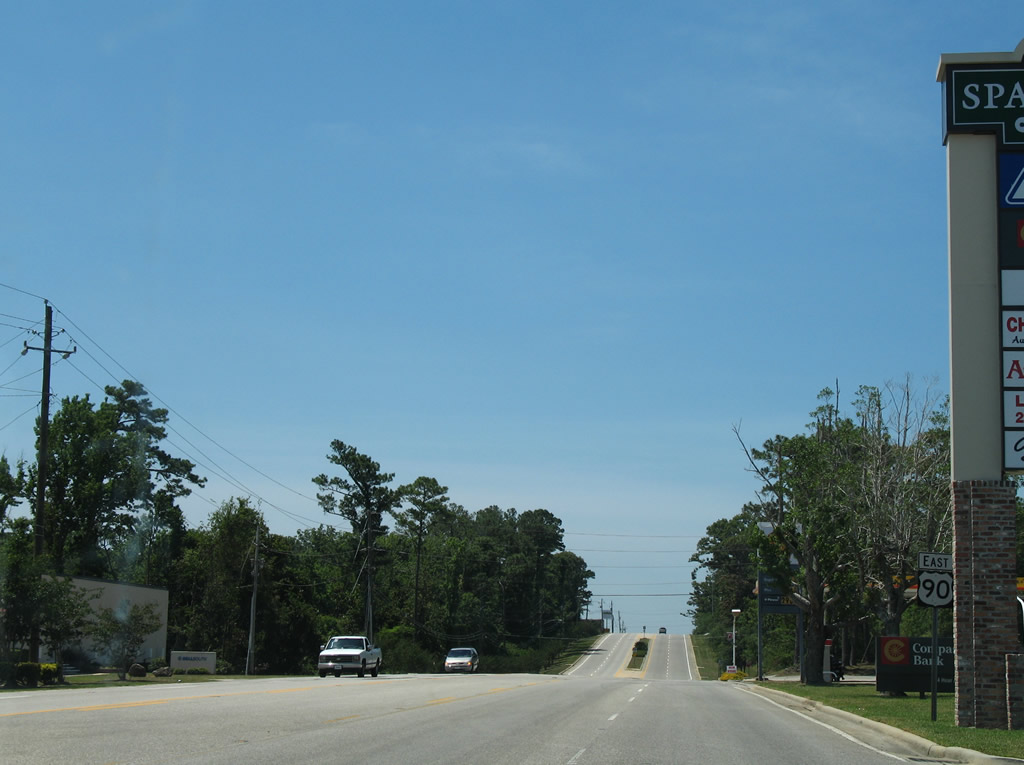
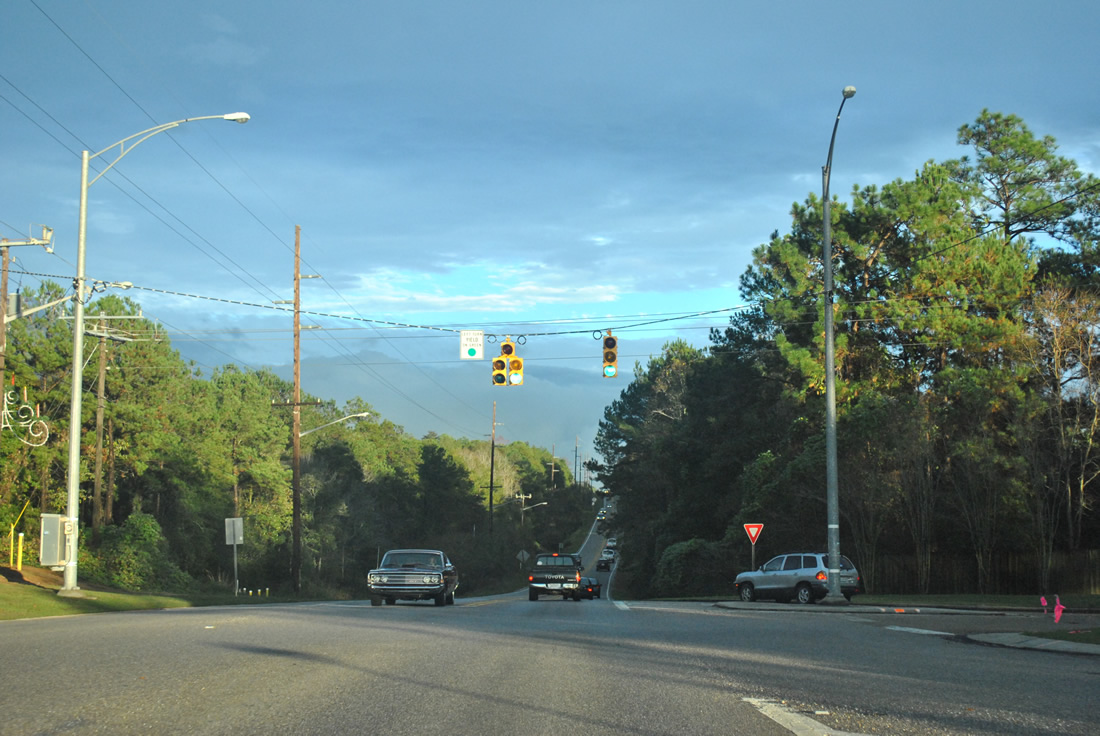
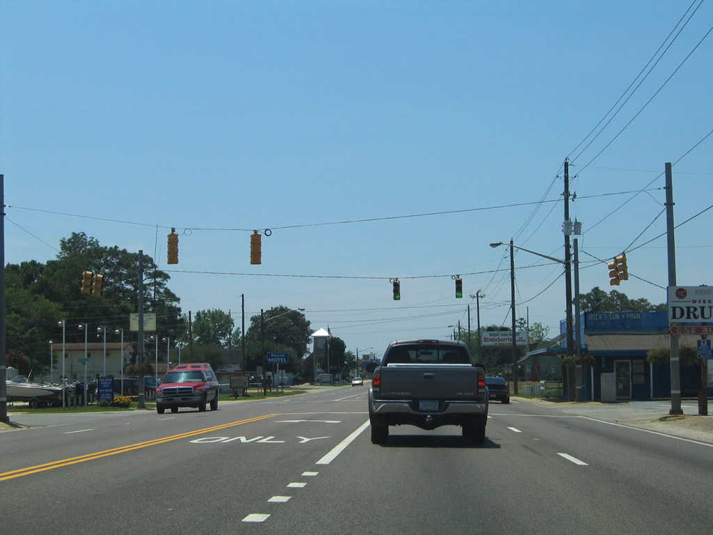
U.S. 90 rises into Spanish Fort and transitions into an arterial route ahead of Spanish Main and U.S. 31. U.S. 31 continues Spanish Fort Boulevard east to the city complex and Timber Creek.
06/06/06
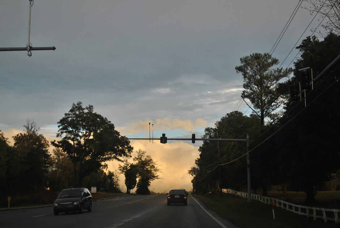
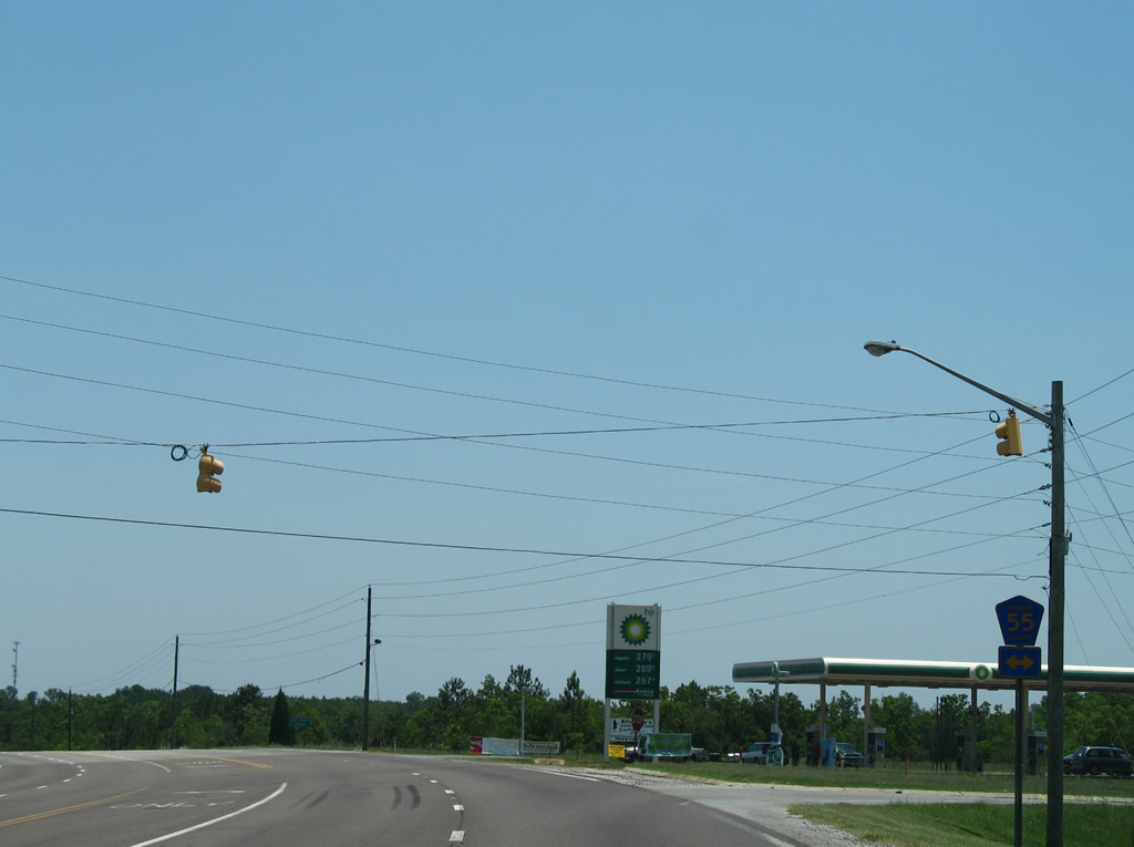
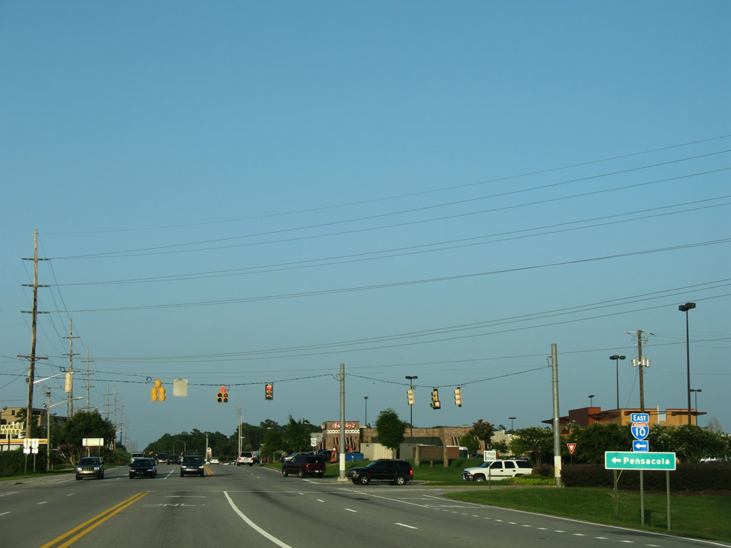
Spanish Main arcs northeast from this signal with U.S. 90 (Spanish Fort Boulevard) through Spanish Fort Estates to SR 225 (Blakeley Drive).
06/06/06
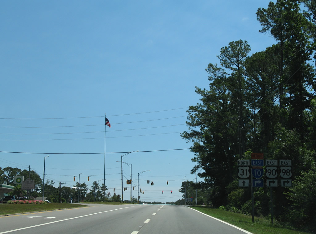
U.S. 90 eastbound at the northbound beginning of U.S. 31. U.S. 90 turns southward onto Old Spanish Trail to Spanish Fort Town Center, U.S. 98 and Interstate 10 at the Daphne city line. U.S. 31 travels east through Spanish Fort and northeast to Stapleton and SR 59 (Gulf Shores Parkway). The 1,280 mile route travels north to Mackinaw City, Michigan.
06/06/06
Heading south along Old Spanish Trail from U.S. 31 in Spanish Fort.
06/06/06
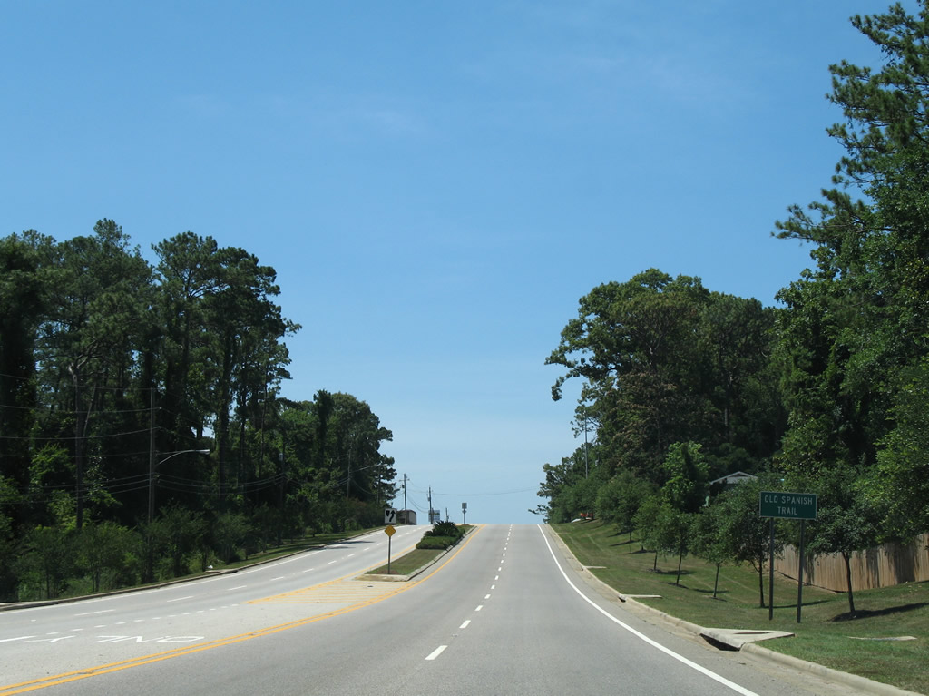
Old Spanish Trail was originally an auto trail stretching from California to Florida. U.S. 90 follows most of the route along the Gulf Coast, and several modern stretches of roadway retain the historic auto trail name. This sign precedes Town Center Avenue east into Spanish Fort Town Center.
06/06/06
Town Center Avenue provides one of two entrances into Spanish Fort Town Center. Constructed in 2005-06 east of U.S. 90 and north of I-10, Spanish Fort Town Center is a mixed-use retail shopping complex anchored by Bass Pro Shops. This traffic light was added in 2010.
09/12/10
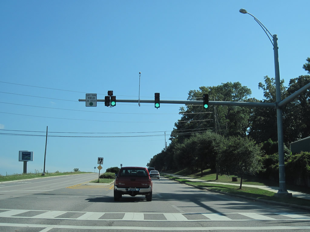
Bass Pro Drive lowers from U.S. 90 (Old Spanish Trail) at Patrician Drive into Spanish Fort Town Center.
09/12/10
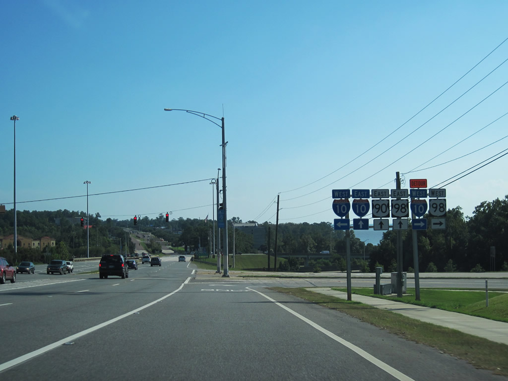
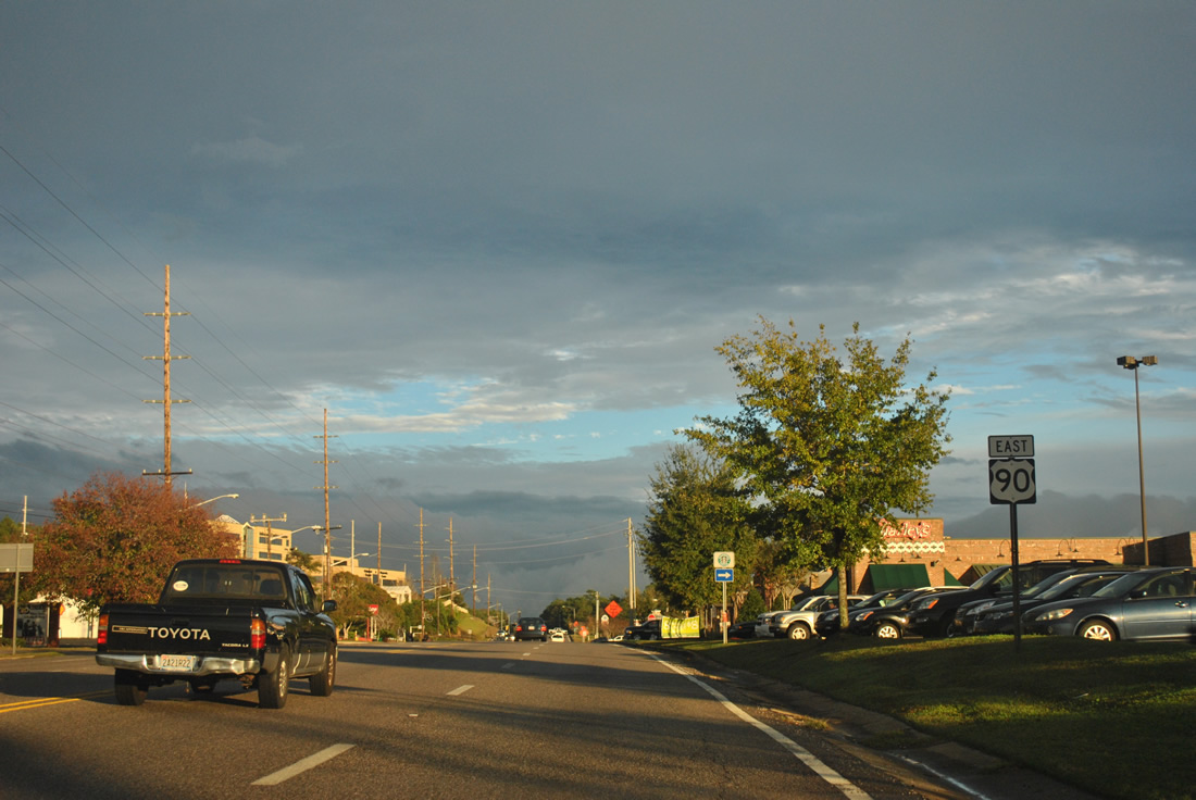
U.S. 98 (Battleship Parkway) converges with U.S. 90 again at the eastbound on-ramp for Interstate 10 to Mobile.
09/12/10
East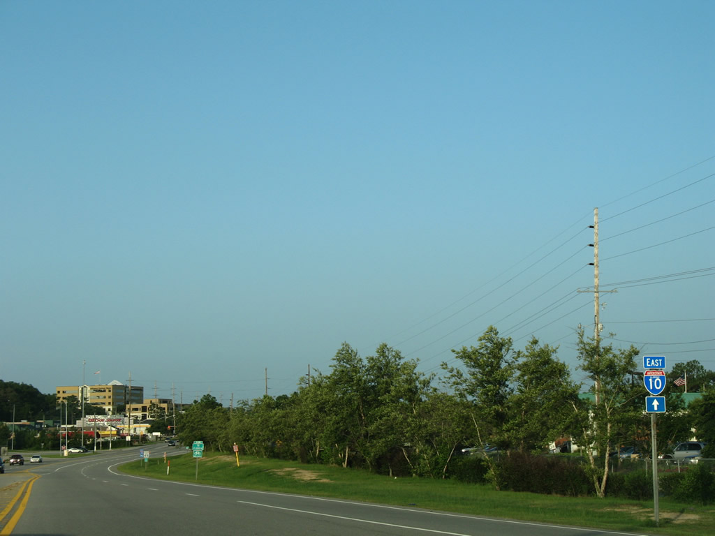
U.S. 90 (Old Spanish Trail) parallels the south side of I-10 to Jubilee Square shopping center.
07/17/07
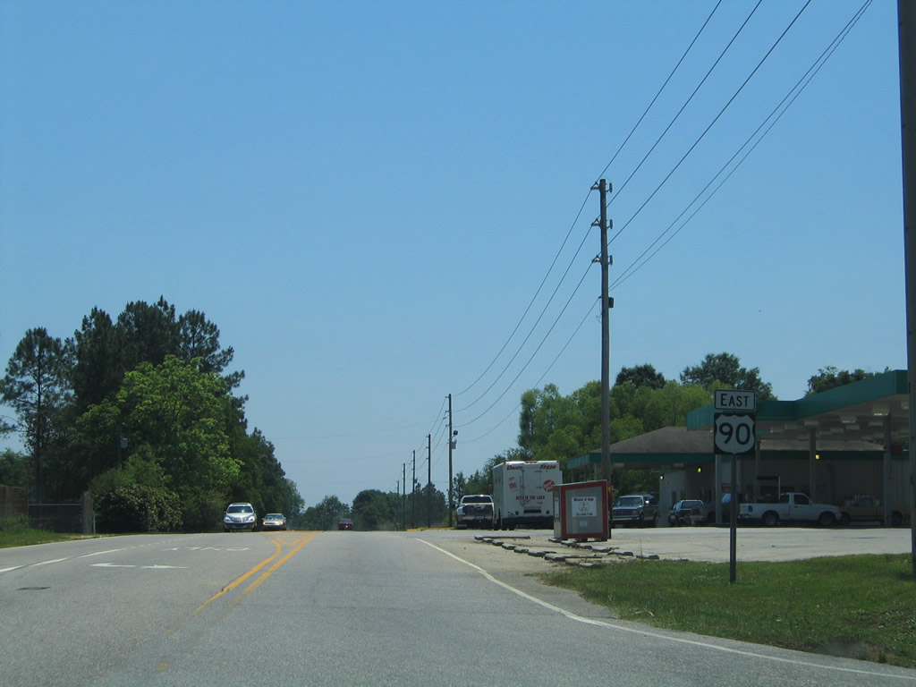
U.S. 90 (Old Spanish Trail) reaches the eastbound on-ramp to Pensacola, Tallahassee, and Jacksonville, Florida.
07/17/07
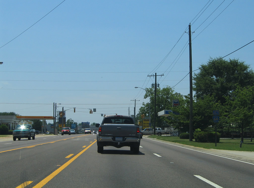
U.S. 90 advances east from Jubilee Square toward Bayview Drive and the Lake Forest community.
11/27/11
Bayview Drive south provides the lone access point to Lake Forest from U.S. 90 (Old Spanish Trail).
11/27/11
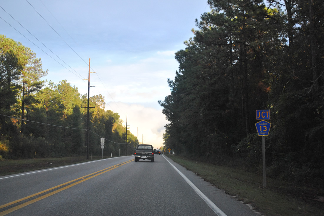
CR 13 leads south from U.S. 90 into eastern reaches of Daphne by Lake Forest.
11/27/11
County Road 13 was extended southward in 2010 to connect with its segment through east Fairhope. An interchange joining CR 13 with Interstate 10 to the north was previously planned.
06/09/06
Eastbound shield for U.S. 90 posted beyond CR 13.
11/27/11
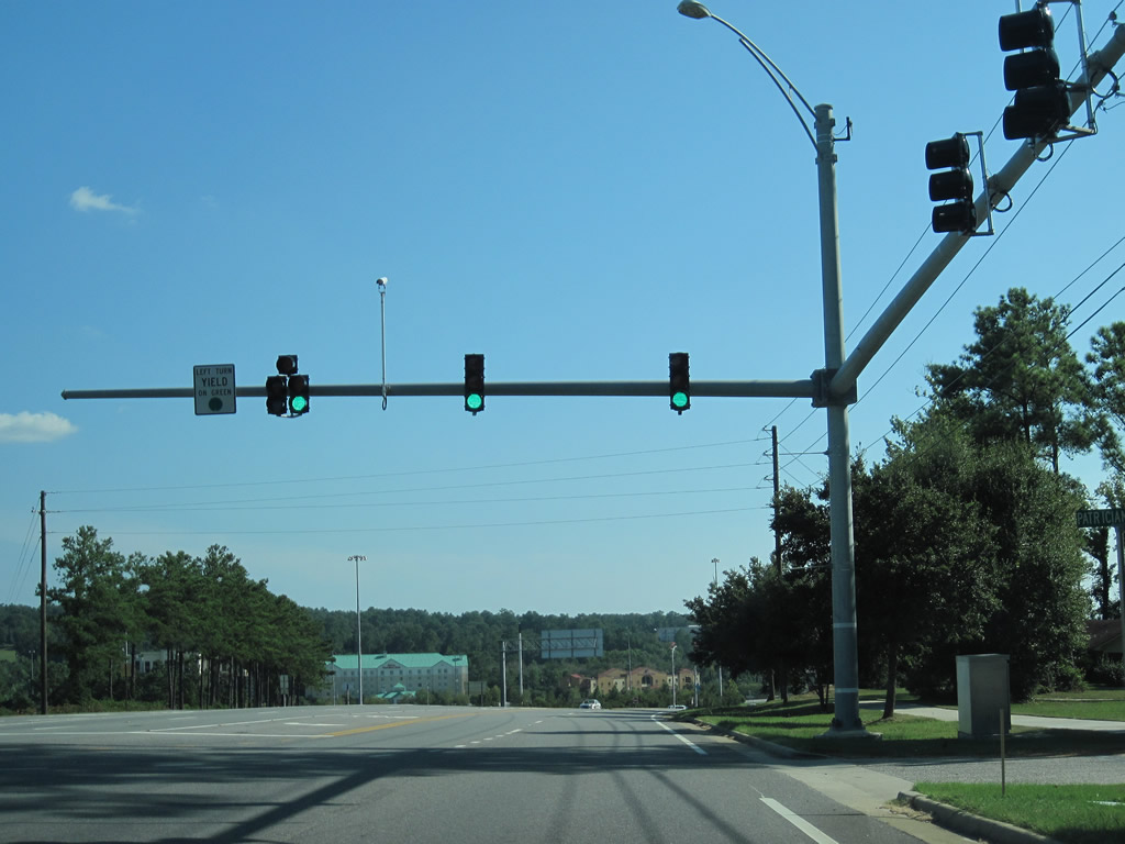
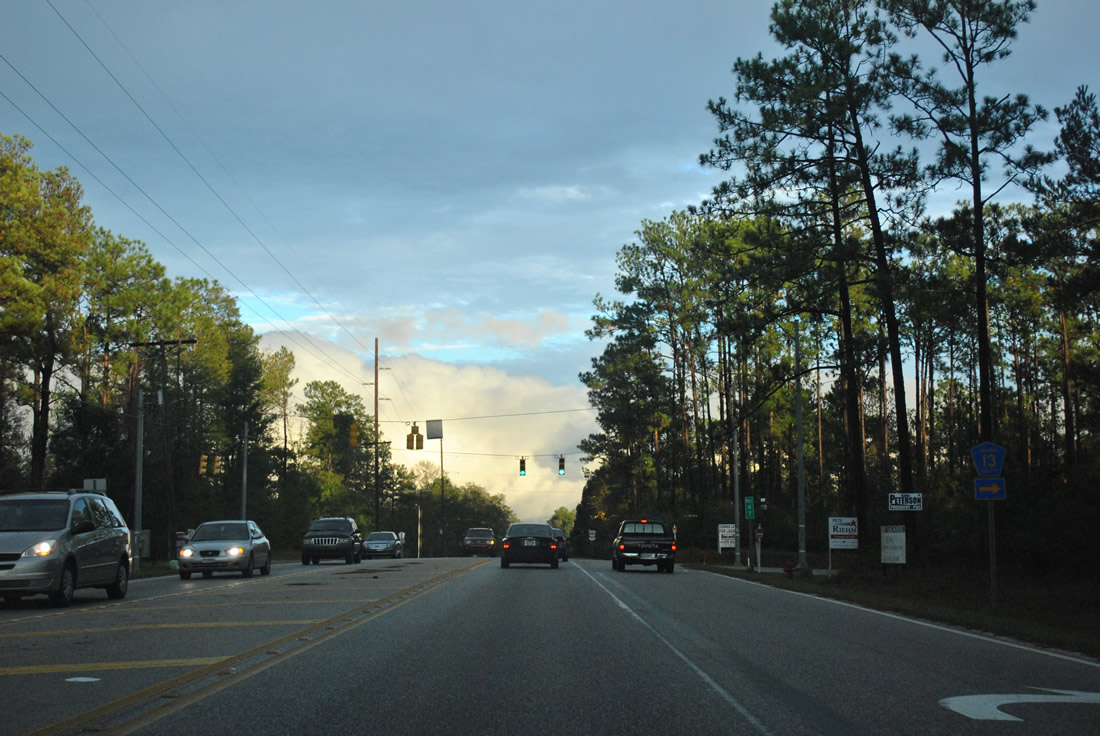
Traffic lights were added at Renaissance Boulevard by 2011 for the Renaissance Center commercial park midway between CR 13 and SR 181.
11/27/11
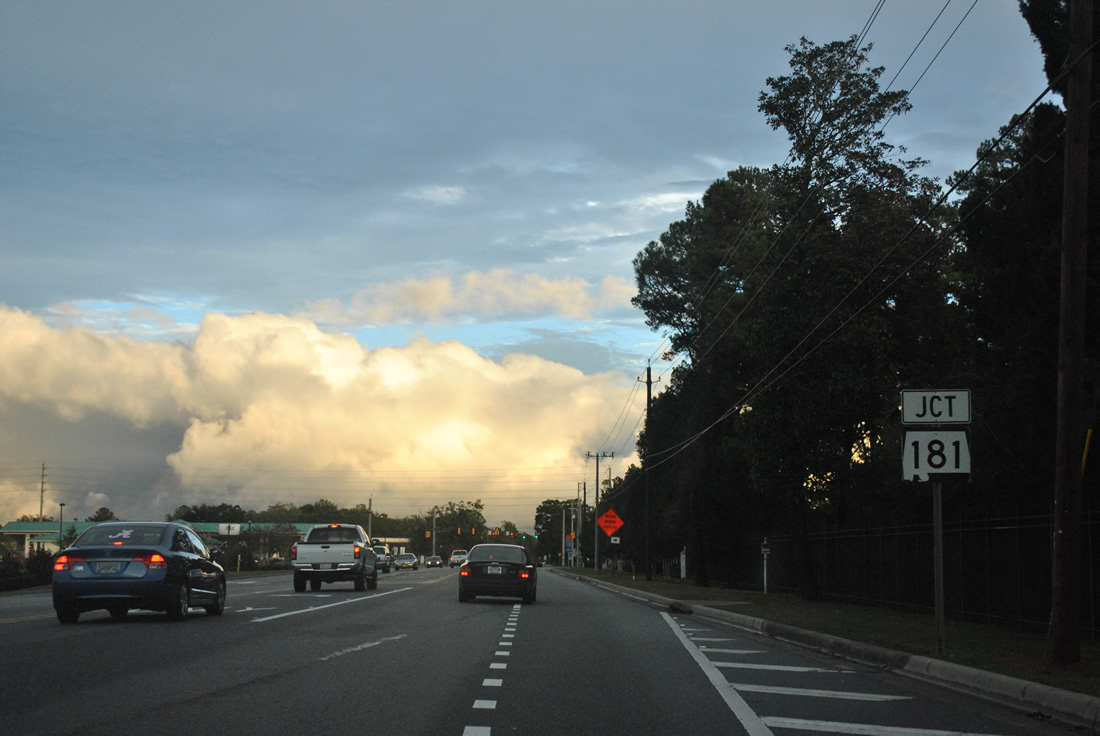
U.S. 90 expands to accommodate commercial growth in Malbis. Big box retail was constructed in 2006 north of U.S. 90, joining the 2003-completed Eastern Shore Centre along SR 181. Annexed by the city of Daphne, Malbis was previously an unincorporated community.
11/27/11
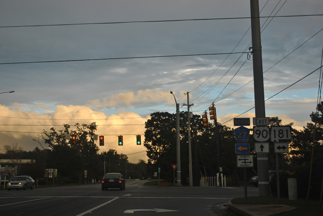
SR 181 was extended south from U.S. 90 in 2004 during a mileage swap between ALDOT and Baldwin County. SR 181 overtook CR 27 south to U.S. 98 near Weeks Bay, while the county took over all 32 miles of SR 112 between Bay Minette and the Florida state line. Subsequent widening of SR 181 south by the state accommodates suburban expansion of both Daphne and Fairhope.
11/27/11
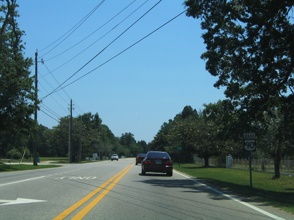
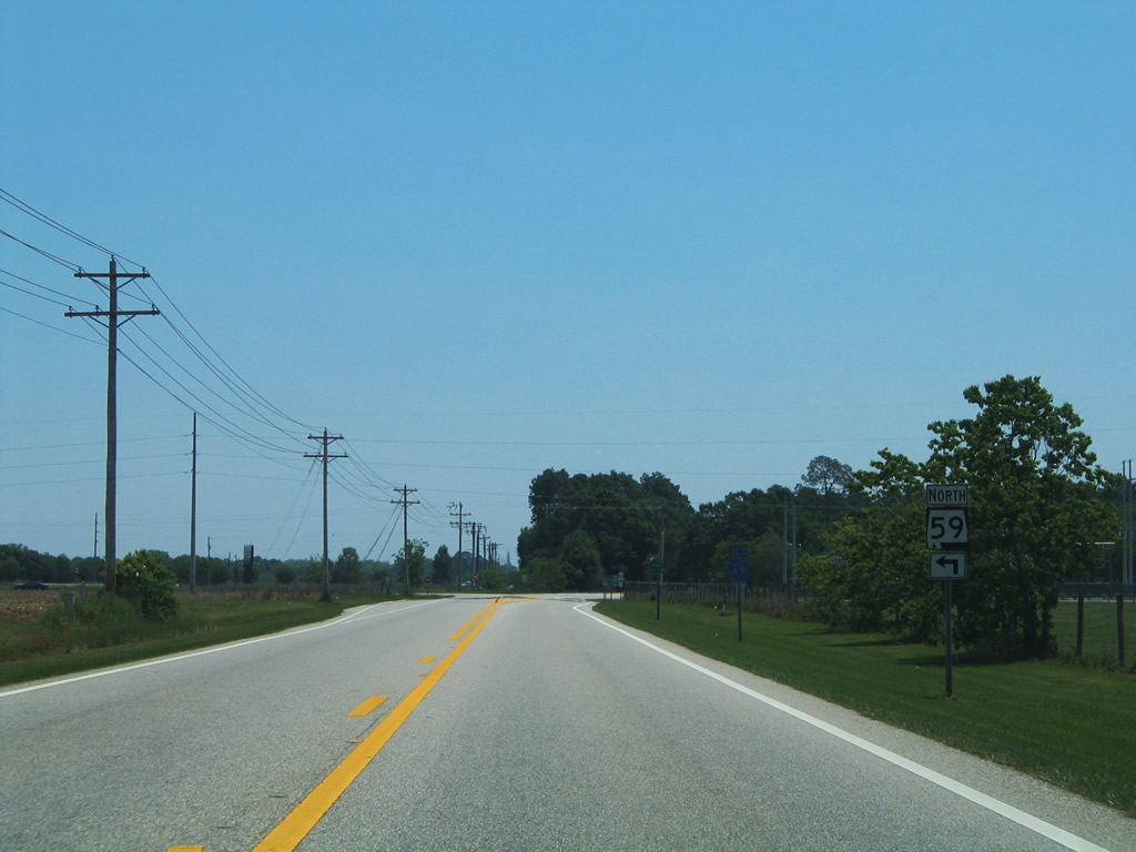
Departing the Malbis community, U.S. 90 advances 6.2 miles from SR 181 (Malbis Plantation Parkway) to SR 59 (Gulf Shores Parkway).
05/07/04
Entering the town of Loxley, U.S. 90 intersects CR 49 (Magnolia Street). County Road 49 provides a cutoff to SR 59 (Hickory Street) north ahead of Interstate 10.
05/07/04
CR 49 runs south along Magnolia Street to CR 66 (St. Alban Avenue) and CR 64 (Union Avenue) at the Loxley street grid. Several segments of CR 49 are posted in Baldwin County parallel to SR 59. They include stretches west of Silverhill, east of Marlow and south through Magnolia Springs to Bon Secour, and north of I-10 along old SR 3/59 to Steelwood.
05/07/04
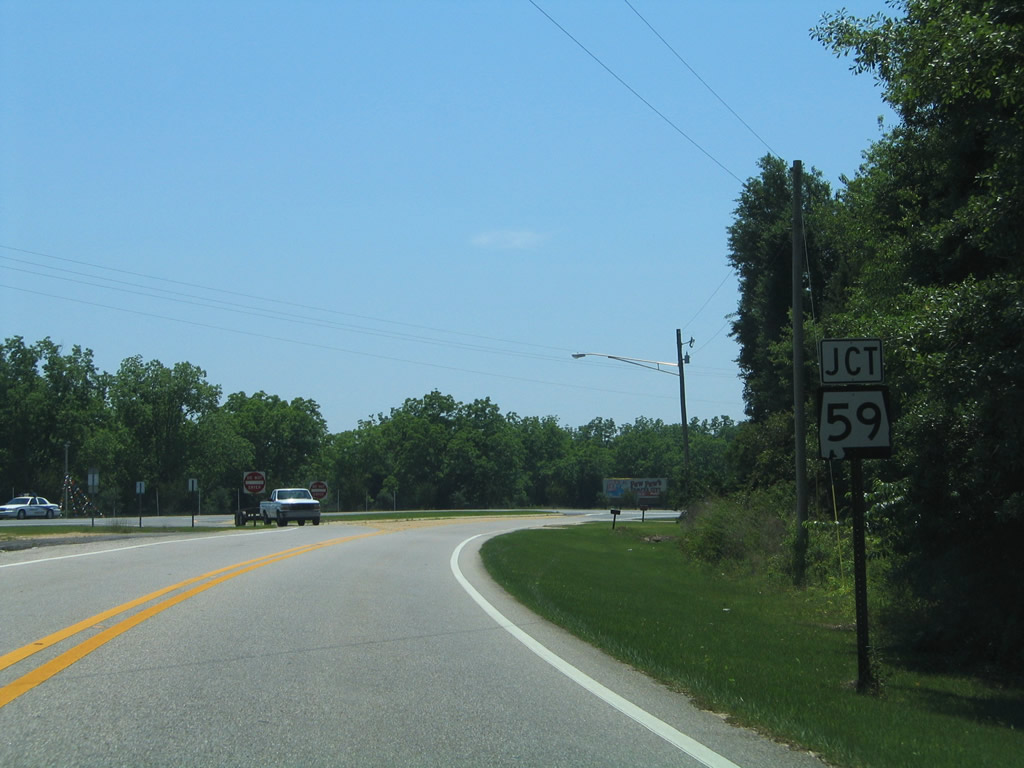
U.S. 90 curves southeasterly to merge with SR 59 (North Hickory Street). The two highways overlap for 5.373 miles through Loxley and Robertsdale.
05/07/04
East  South
South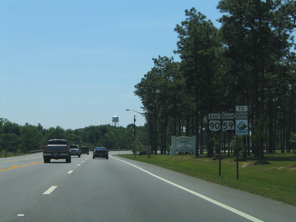
U.S. 90 east & SR 59 south shield assembly posted by Loxely Municipal Park. SR 59 enters Loxley from Stapleton and Bay Minette to the north. U.S. 90 combines with SR 59 from Malbis and Daphne to the west.
05/07/04
Relham Drive meets U.S. 90 & SR 59 two blocks south of CR 66 (St. Alban Avenue) at this traffic light in Loxley. Relham Drive heads five blocks west to CR 49 (Magnolia Street) and east two blocks to become 1st Avenue en route to Cabinet Shop Road.
05/07/04
Southbound Hickory Street at Union Avenue (CR 64) in Loxley.
05/07/04
CR 64 constitutes a through route between Daphne and Loxley, Rosinton, and Interstate 10 (Exit 53). The county road ends at CR 112 west of Gateswood.
05/07/04
CR 55 (Holley Street) crosses paths with U.S. 90 & SR 59 (Hickory Street) in south Loxley.
06/09/06
County Road 55 leads south from CR 68 to Lake Raynagua, Silverhill and U.S. 98 between Foley and Magnolia Springs. The set of flashers at Hickory Street was replaced with mast-arm supported traffic lights by 2010.
06/09/06
Approaching the east end of CR 56 (Thompson Road) along U.S. 90 east & SR 59 south.
08/03/06
CR 56 connects U.S. 90 & SR 59 with CR 55 south of Lake Raynagua.
08/03/06
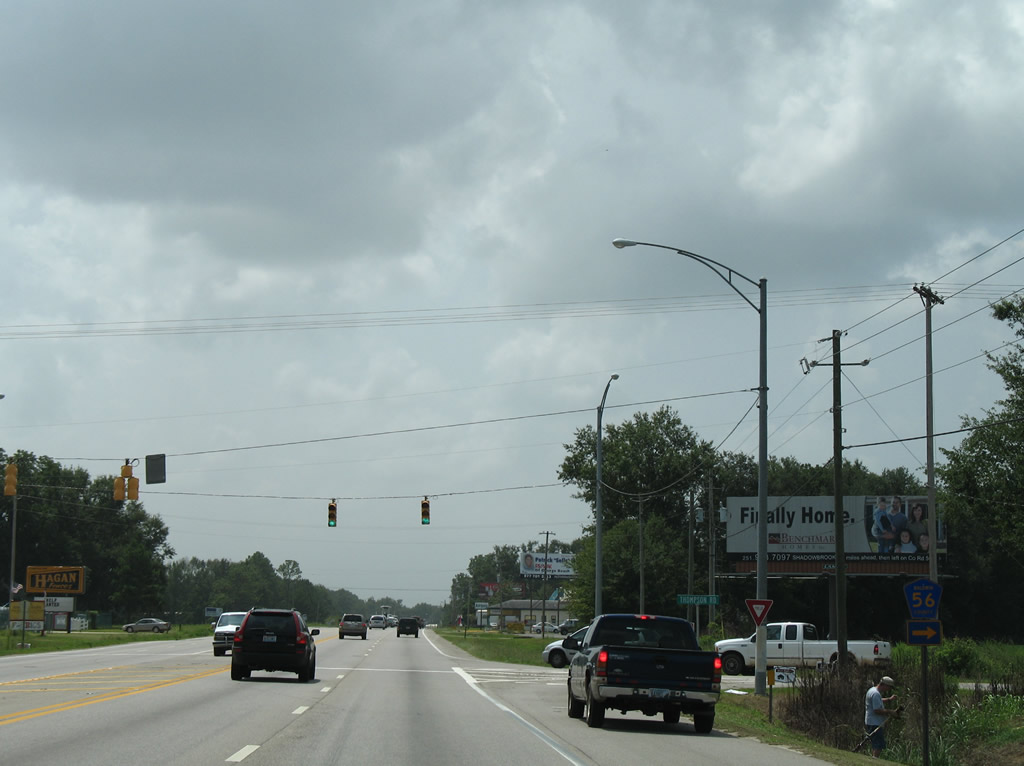
CR 54 meets U.S. 90 & SR 59 at the Robertsdale city line.
08/03/06
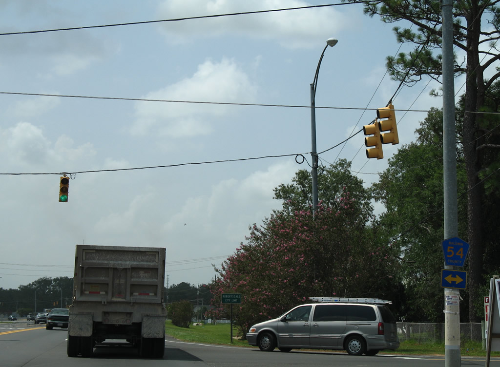
County Road 54 heads west from adjacent CR 65 (Palmer Street) to NOLF Silverhill and north to CR 64 near Belforest and Yelling Settlement outside Daphne.
08/03/06

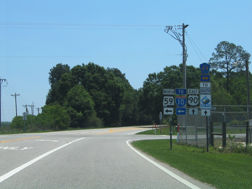
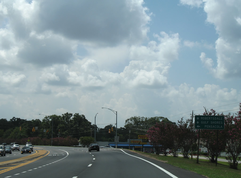
Just within Robertsdale, U.S. 90 parts ways with SR 59 south for a rural drive to Pensacola, Florida while SR 59 continues southeast into Downtown Robersdale.
08/02/06
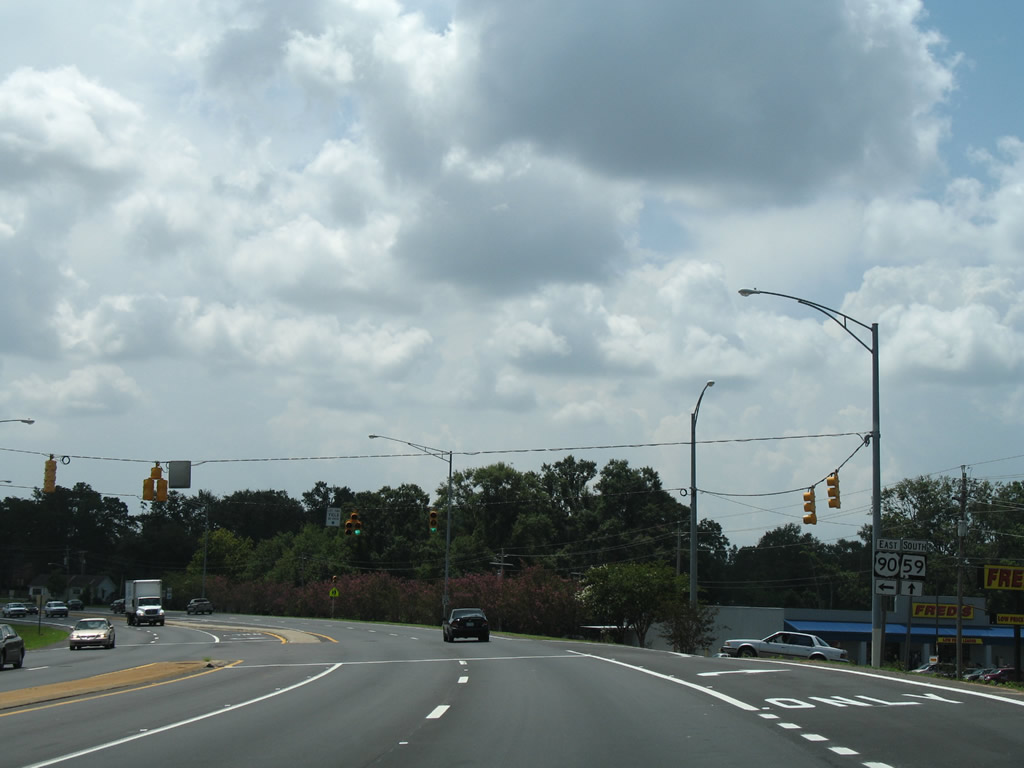
SR 59 travels five miles south to Summerdale and ten miles to Foley. U.S. 90 enters the Elsanor community nine miles to the east and Seminole in 16 miles.
08/02/06
East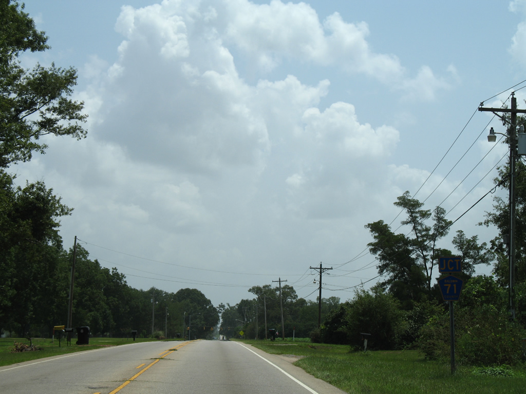
Progressing east along U.S. 90 toward Baldwin County Road 71 (College Avenue) in Robertsdale.
08/03/06
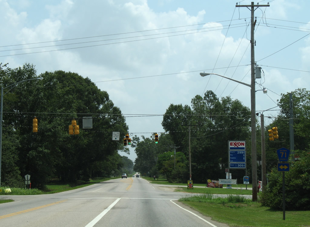
Baldwin County Road 71 exits Robertsdale north to CR 64 at Cooper's Lake near Rosinton. Southward, the county road parallels SR 59 to central Summerdale and the outskirts of Foley.
08/03/06
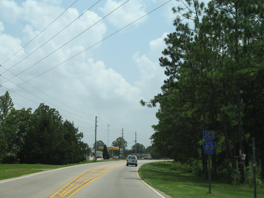
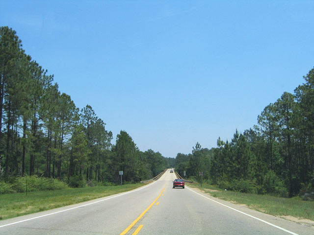
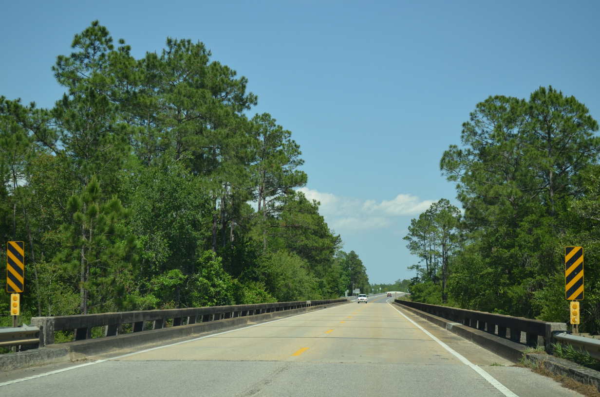
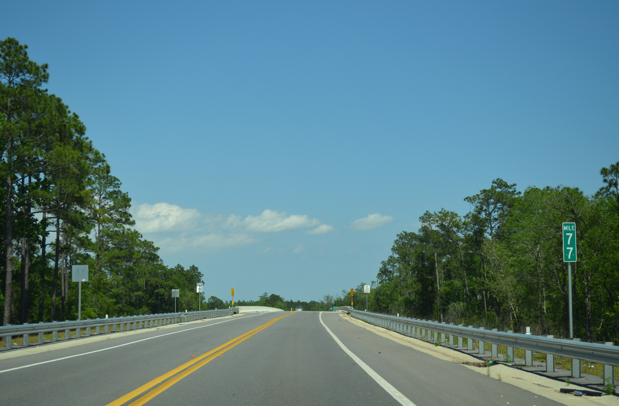
U.S. 90 navigates through an S-curve across the Blackwater River and to the Baldwin Beach Express. Completed north from U.S. 90 in October 2012, the four lane expressway overlaid what was CR 83 north 3.5 miles to CR 64.
08/03/06
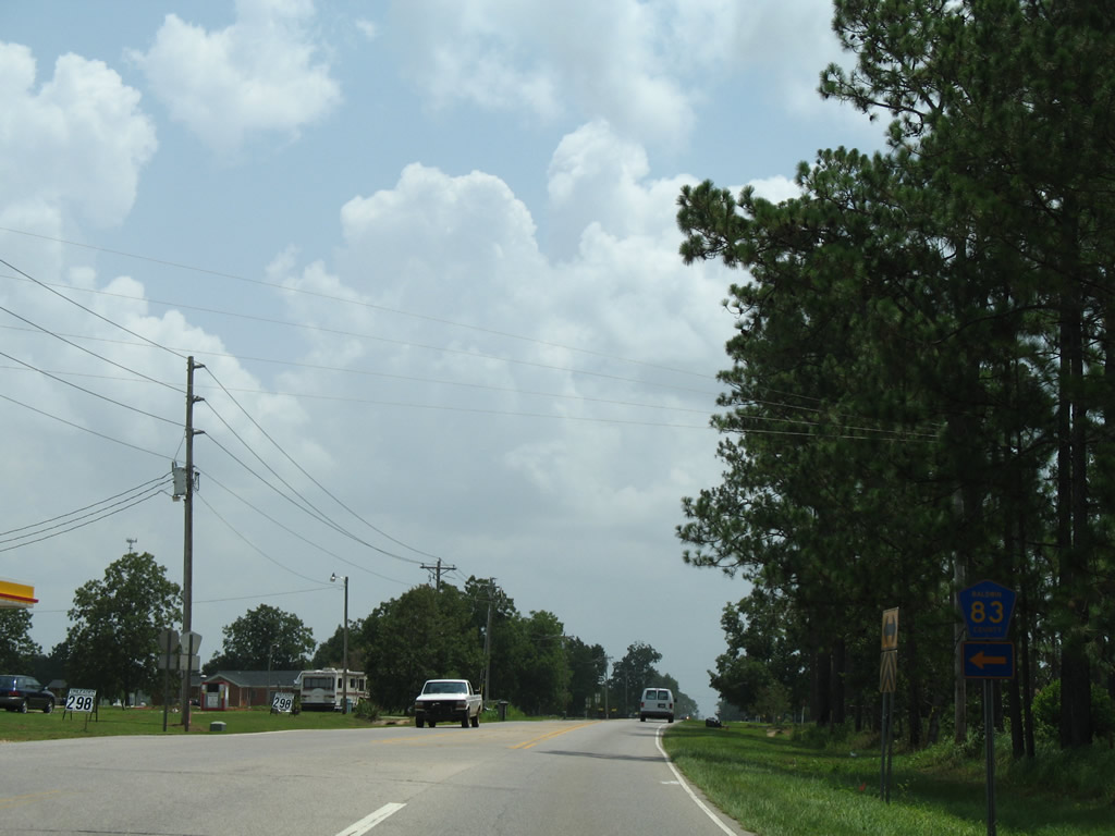
Construction on the Baldwin Beach Express commenced north from the Foley Beach Express to CR 32 in 2009, and at CR 64 in 2010. The link south from U.S. 90 to CR 32 opened to traffic on June 19, 2014. The four lane highway stretches from SR 180 at Orange Beach north to I-10.
08/03/06
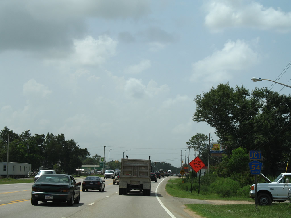
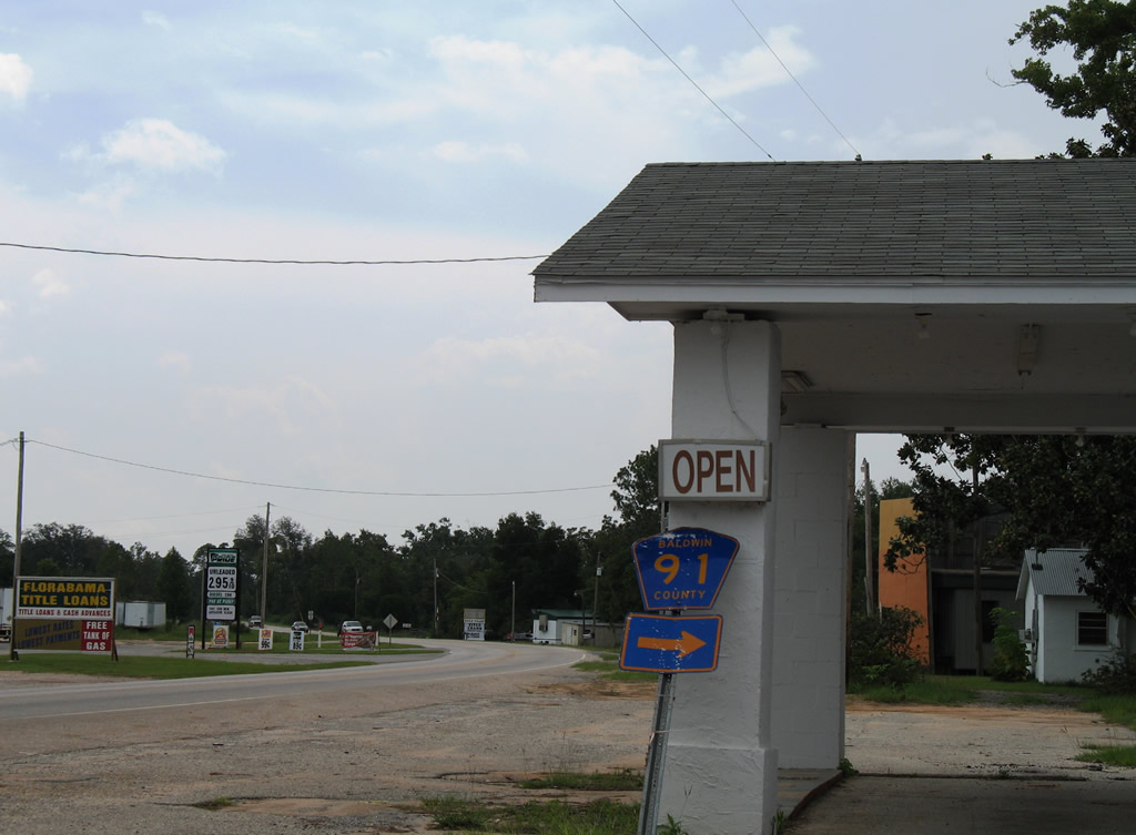
U.S. 90 angles southeast to meet County Road 87 at the settlement of Elsanor. CR 87 leads 12.2 miles north to CR 112 and south 9.5 miles to U.S. 98 east of Elberta. CR 87 ends at CR 20 near Hammock Creek and includes two segments south of U.S. 98.
05/07/04
U.S. 90 eastbound reassurance shield posted after Baldwin County Road 87. The rural character of U.S. 90 continues to the split with U.S. 90 Alternate (Nine Mile Road) at Beulah, Florida.
05/07/04
County Road 91 branches southeast from U.S. 90 along Brown's Landing Road to Three Rivers Road. The county road spurs then south to Kings Landing Road near the Blackwater River.
08/01/06
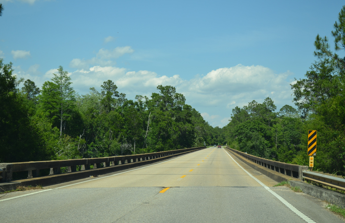
U.S. 90 crosses the Styx River between Seminole and Paper Company Road, one mile west of the Florida state line. The concrete bridge was built in 1949.
05/07/04
05/17/14
A second 1949 bridge carries U.S. 90 west over the Styx River relief waterway after the intersection with Paper Company Road.
05/17/14
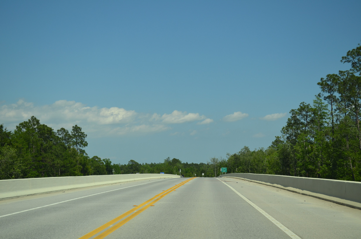
The Perdido River constitutes the north-south boundary between Alabama and Florida north of Perdido Bay. Construction underway from September 2010 to winter 2012 replaced the 1949-built bridge across the Perdido River.
05/17/14

U.S. 90 enters Escambia County, Florida midway across the Perdido River.
05/17/14


Photo Credits:
- Alex Nitzman: 05/07/04, 06/06/06, 06/09/06, 08/01/06, 08/02/06, 08/03/06, 07/17/07
- ABRoads: 09/12/10, 11/27/11, 05/17/14
Connect with:
Page Updated Tuesday August 16, 2011.