
U.S. 98

U.S. 98 joins the city of Mobile area with Hattiesburg, Mississippi as part of a regional corridor northwest to Jackson. East from the Port City, U.S. 98 constitutes both an alternate to Interstate 10 (Mobile Bayway) and a commuter route to Spanish Fort, Daphne and Fairhope. The US highway also connects Foley with Pensacola as one of six routes linking Baldwin County with Northwest Florida.
SR 42 overlays all 80.248 miles of U.S. 98 across Mobile and Baldwin Counties. Prior to the 1955 extension of U.S. 98 from Pensacola to Natchez, Mississippi, SR 42 was a stand alone route from Mobile westward. The stretch through Baldwin County was originally designated as SR 89.
U.S. 98 Alabama Guides
East
West
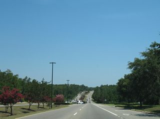
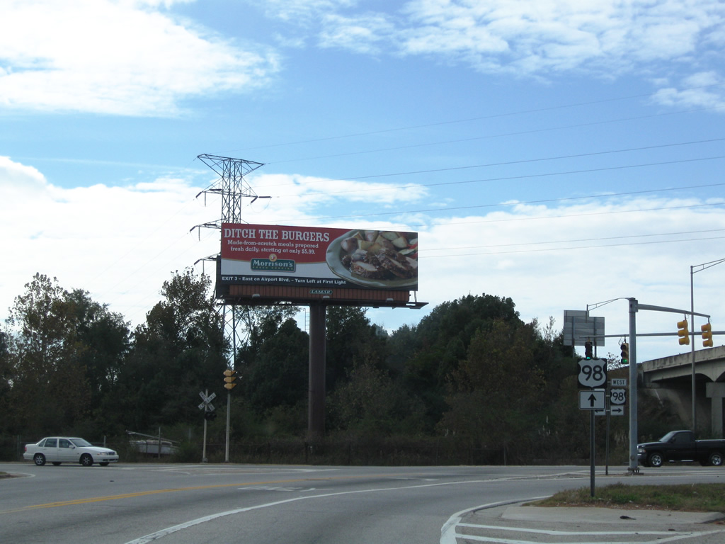
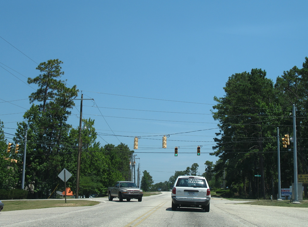
Within Mobile County, U.S. 98 quickly reduces from a four lane expressway in Mississippi to a two lane roadway through the community of Wilmer. A busy trucking corridor as well, U.S. 98 winds east across northern reaches of Big Creek Lake to the suburban city of Semmes. U.S. 98 expands to four lanes east from Mobile County Route 25 (Snow Road) along Moffett Road.

U.S. 98 follows Moffett Road east from the Mississippi state line to Spring Hill Avenue at Midtown Mobile. Plans eventually outline the relocation of U.S. 98 northward over SR 158 bypassing Wilmer and Semmes.
A viaduct carries U.S. 98 across the CN Railroad in Semmes. The route touches down at a congested intersection with Wulff Road (CR 68) south and McCrary Road (CR 27) north. East from there, Moffett Road widens further with a continuous center turn lane as U.S. 98 curves southward into West Mobile.
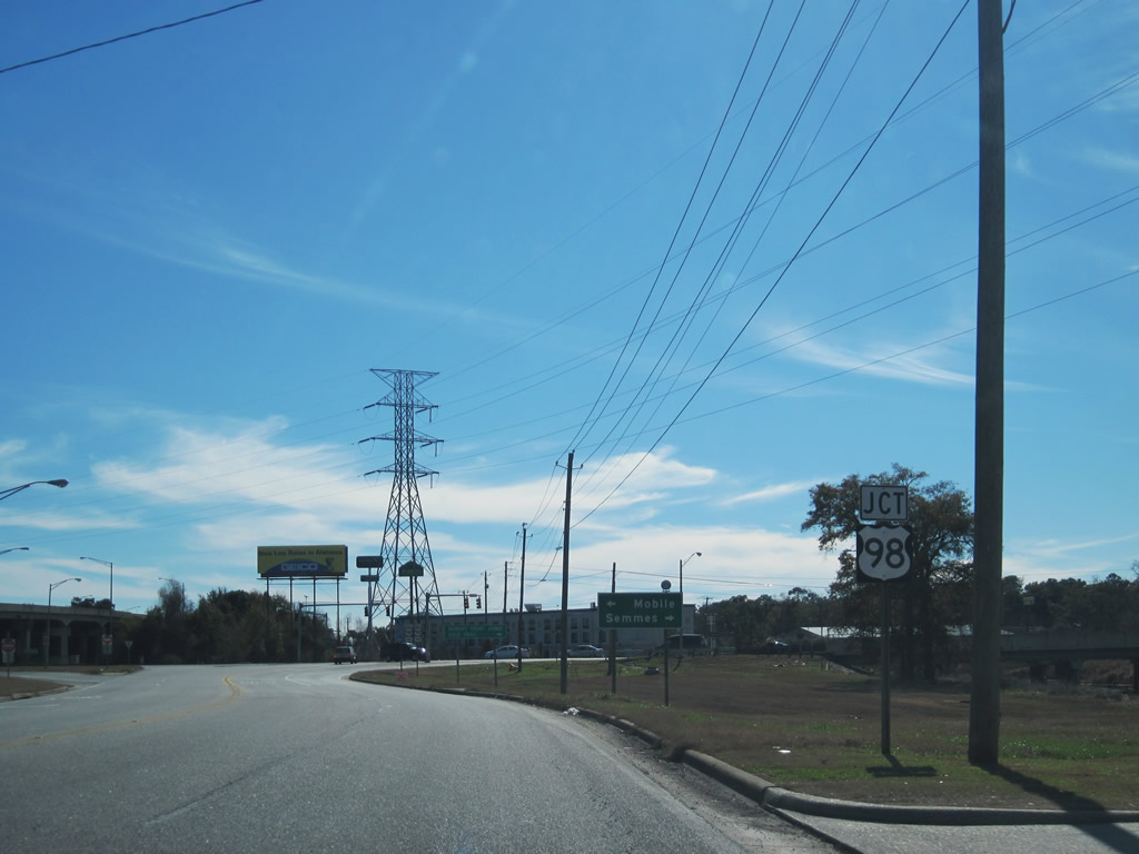
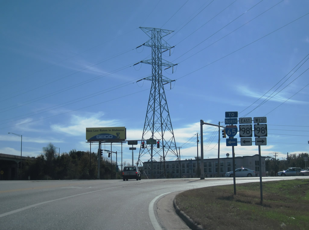
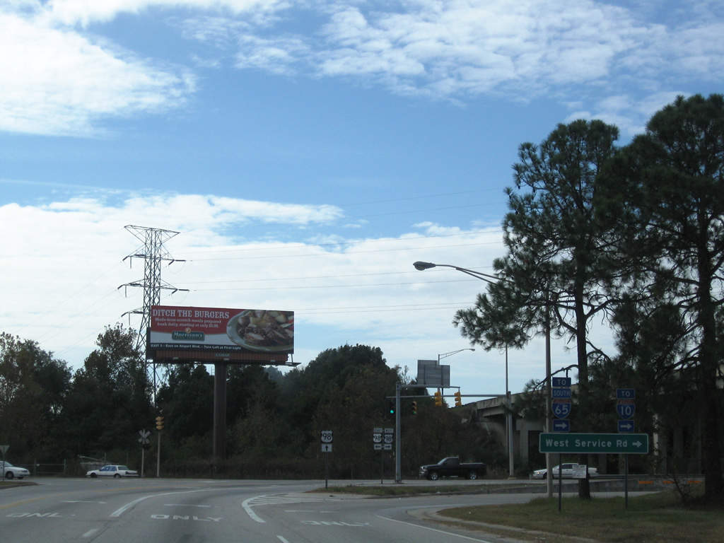
Moffett Road crosses paths with Interstate 65 at a folded diamond interchange using the west and east service roads. A railroad line crosses U.S. 98 at-grade through the junction, adding to delays already caused by slow moving trucks making their way onto I-65 south to connect with I-10 or north to I-165.
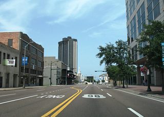
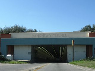
U.S. 98 overtakes Spring Hill Avenue from the east end of Moffett Road through Midtown Mobile. U.S. 45 ties into U.S. 98 (Spring Hill Avenue) from St. Stephens Road by the Lyons Park community. U.S. 98 combines with U.S. 90 along a wrong way overlap on Broad Street to complete the movement south from Spring Hill Avenue to Government Street through Downtown. The urban arterial takes U.S. 98 east to Bankhead Tunnel, which crosses the Mobile River with two lanes.
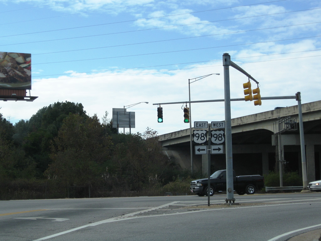
Opened February 20, 1941, the Bankhead Tunnel carries U.S. 98 from Government Street in Downtown Mobile to Battleship Parkway. 3,389 feet in length, the tunnel was built at a cost of $4 million. Tolls were collected at a plaza located at the tunnel east entrance from 1941 through to the mid 1970s. The speed limit through the two-lane tube is 35 mph, and the Bankhead Tunnel is restricted to vehicular traffic only.
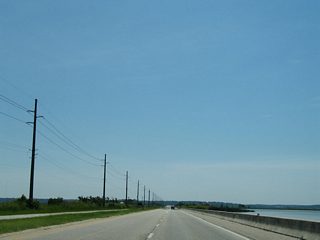
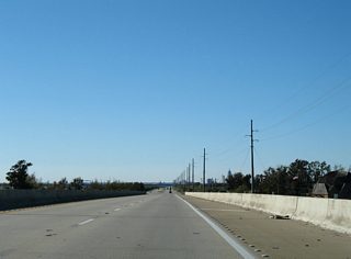
East from Mobile, U.S. 98 combines with U.S. 90 again along Battleship Parkway. Traveling just above sea level, the four lane highway straddles the northern periphery of Mobile Bay east to Spanish Fort.
U.S. 90 and U.S. 98 part ways at a parclo interchange with Interstate 10 in north Daphne. South from there, U.S. 98 represents the main commuter route to the Eastern Shore, joining Spanish Fort with Montrose and Fairhope. The historical alignment of U.S. 98, signed as Scenic Baldwin County Route 98, runs further west through Downtown Daphne and Fairhope to Point Clear.
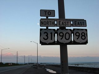
Scenic CR 98 and U.S. 98 come together at Barnwell, where U.S. 98 turns east toward Weeks Bay and Magnolia Springs. The rest of U.S. 98 travels from west to east, joining the city of Foley with Elberta, Lillian and the Pensacola area east of Perdido Bay.
 scenes
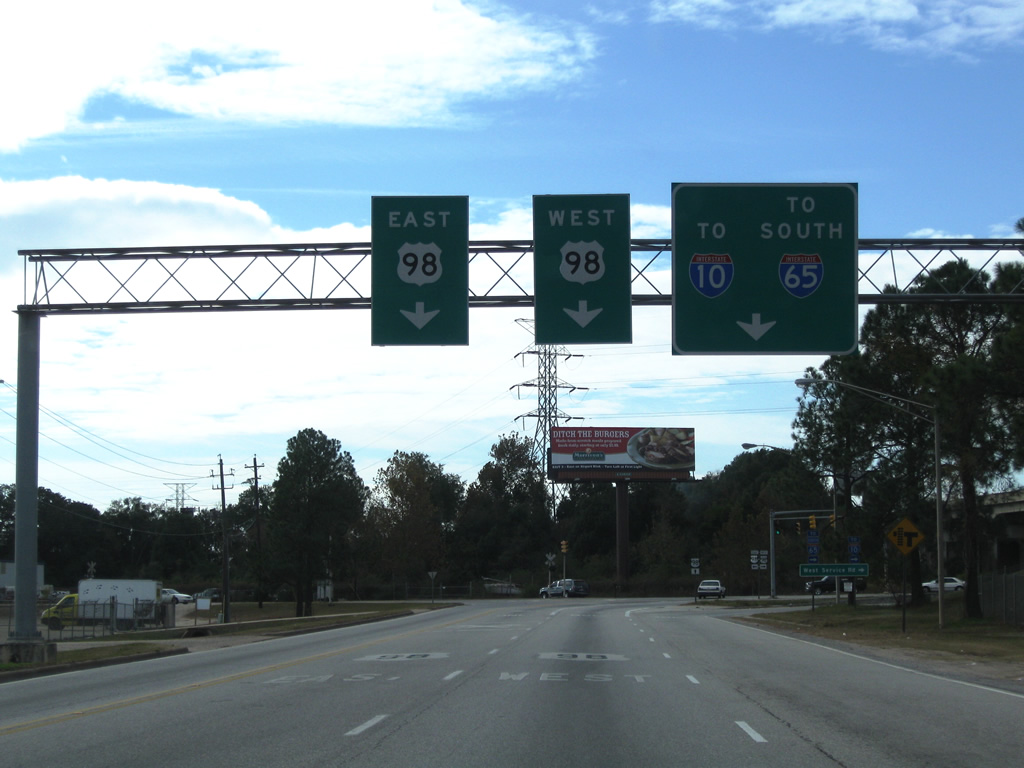
The East I-65 Service Road connects Interstate 65 northbound with U.S. 98 (Moffett Road). A Texas U-turn ramp links with the West I-65 Service Road as well.
11/23/08
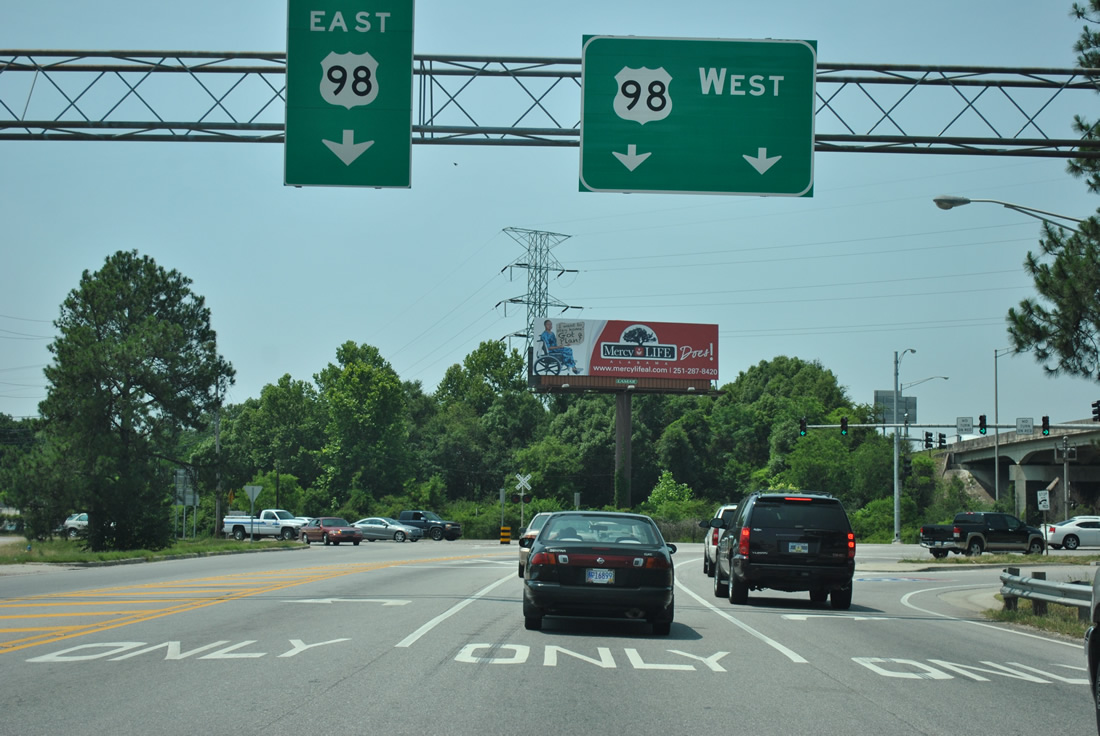
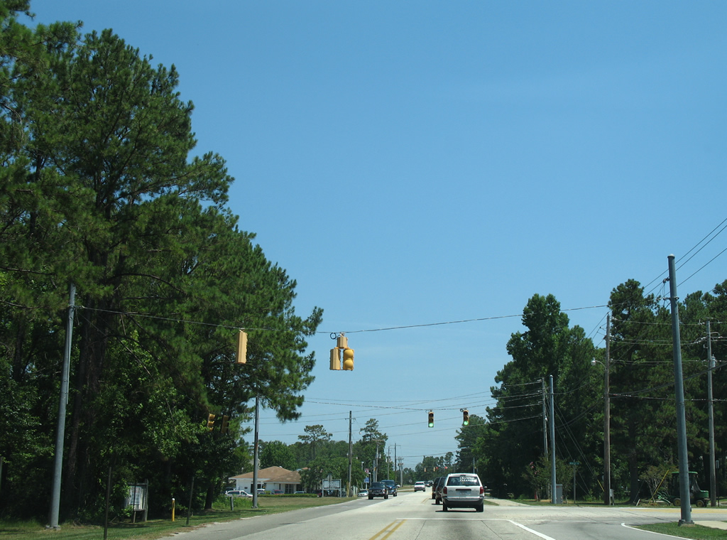
Sign changes made in November 2009 along the East I-65 Service Road south at U.S. 98 coincided with the addition of a second westbound turn lane for Moffett Road.
05/25/12
With the second lane added for U.S. 98 westbound, right turns are no longer permitted on red. U.S. 98 follows Moffett Road east to Spring Hill Avenue in Midtown Mobile and west to Semmes.
11/23/08
The folded diamond interchange joining I-65 with U.S. 98 in Mobile utilizes the West I-65 Service Road to make the connection with Moffett Road.
01/02/11
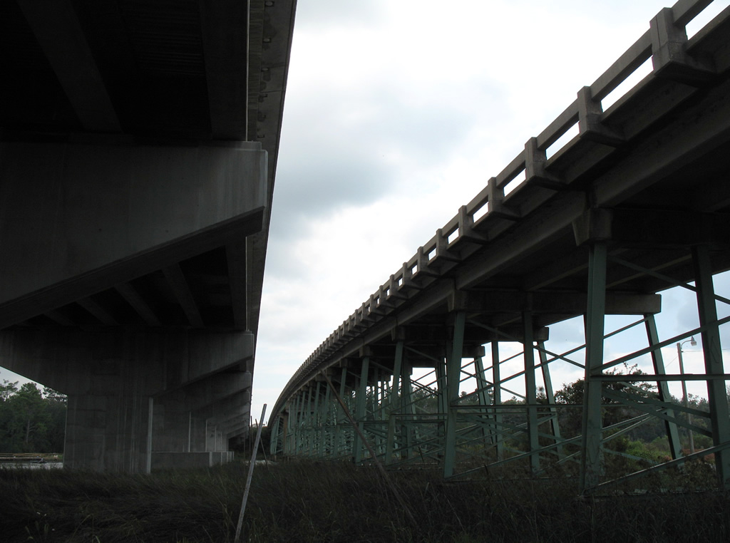
The I-65 frontage road system is discontinuous between U.S. 98 (Moffett Road) and Spring Hill Avenue due to the adjacent CN Railroad.
01/02/11
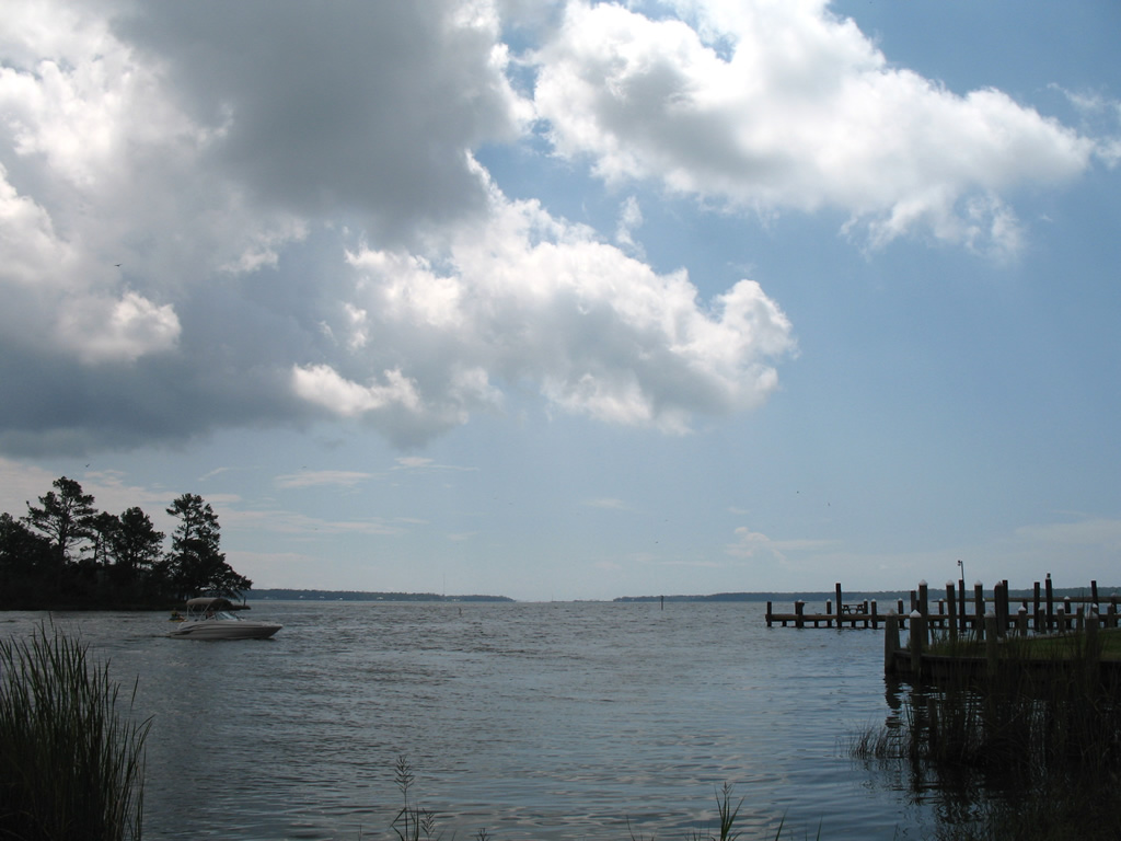
Waters from the Fish River empty into Weeks Bay just south of U.S. 98. This view looks at the estuary from Bay Watch Boat Ramp.
09/17/06
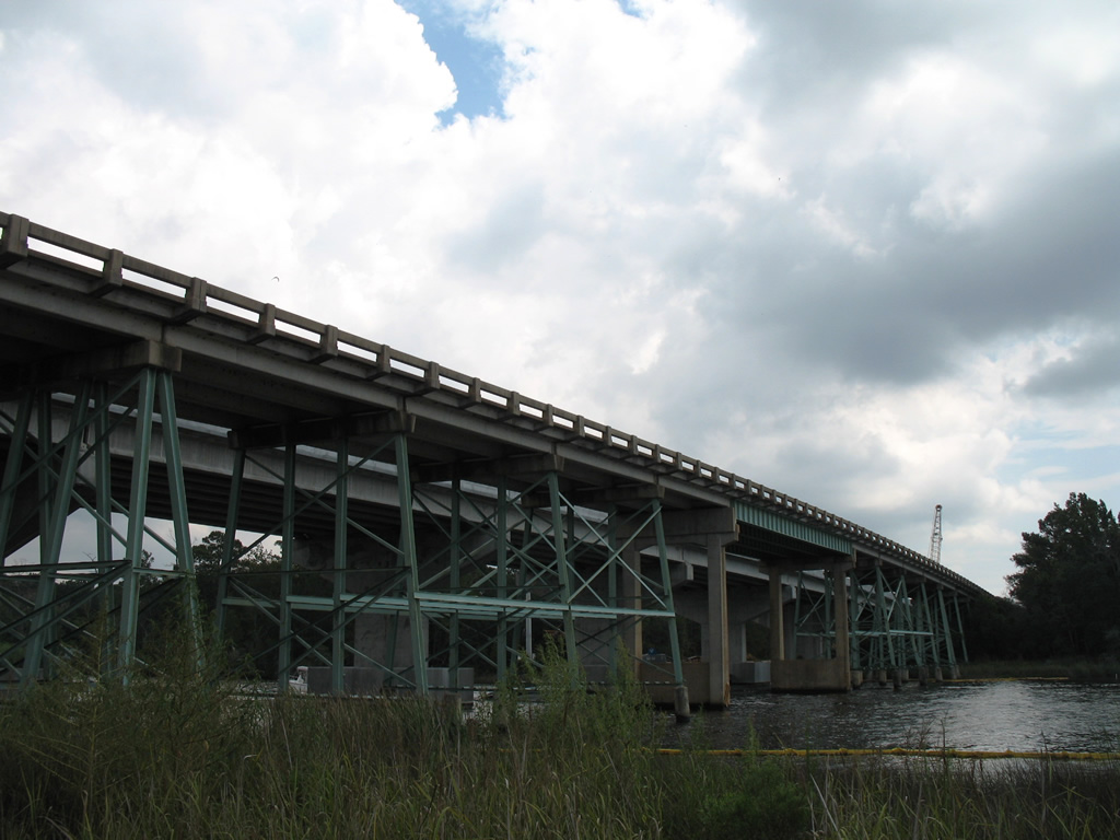
The 1954-built L.W. Louie Brannan Bridge carried U.S. 98 across the Fish River in Baldwin County. Construction on a new $10.2 million span commenced in the summer of 2004.1 Delayed by seven major storms, the replacement opened to traffic on March 6, 2007.2
09/17/06
The Fish River Bridge was constructed with an eight-foot bicycle path and a pedestrian walkway. Following completion of the span, the old steel frame bridge was demolished.2
09/17/06
A trailblazer for U.S. 98 east stands Barclay Avenue west at Perdido Street south in Lillian. Barclay Avenue travels due east from U.S. 98 to County Road 99 and 3rd Street on Perdido Bay.
01/03/10
Park Road becomes Main Street after crossing U.S. 98. A connector provides access to both directions of U.S. 98 beyond the County Road 98 intersection.
06/09/06
Main Street north at Windsor Drive. Windsor Drive provides the first of two entrance roads to the Lake Forest community to the east.
06/09/06
Main Street north at Van Buren Street. Van Buren Street links Main with parallel U.S. 98.
06/09/06
A 1955-built bridge carries Main Street across D'Olive Creek adjacent to U.S. 98. Main Street turns eastward as a frontage road to U.S. 90, ending at Jubilee Square Shopping Center and the on-ramp to Interstate 10 east.
06/09/06
References:
- "Fish River bridge is nearly completed." Press-Register (Mobile, AL), February 11, 2007.
- "New Fish River Bridge Scheduled to Open Today." Press-Register (Mobile, AL), March 6, 2007.
Photo Credits:
- Andy Field: 11/23/08
- ABRoads: 01/03/10, 01/02/11, 05/25/12
- Alex Nitzman: 06/09/06, 09/17/06
Connect with:
Page Updated Wednesday October 03, 2012.