
U.S. 92 West - Plant City to Mango
 West
West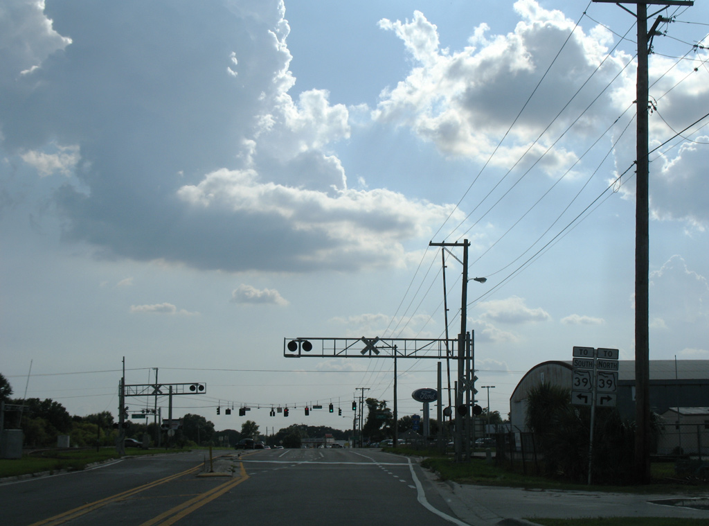
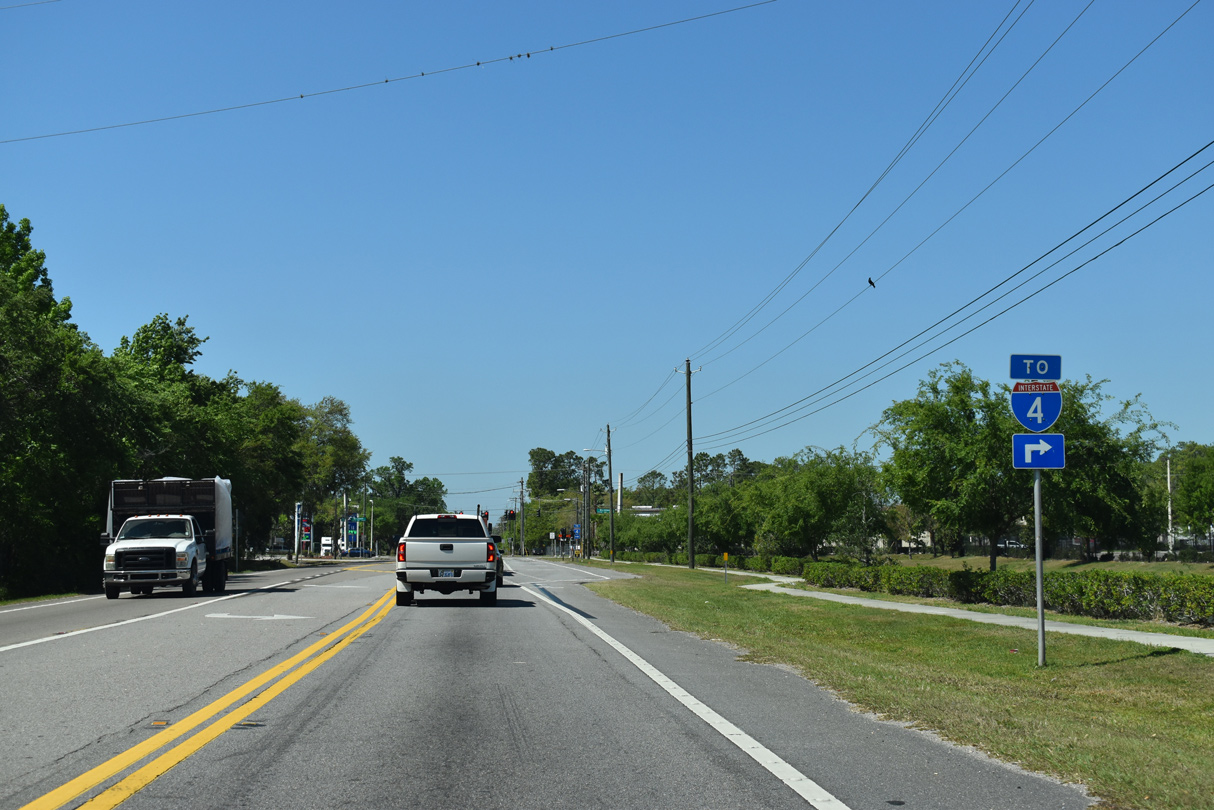
U.S. 92 heads west from Youmans to the Plant City line at Park Road (SR 553). Park Road is part of an easterly truck bypass around Plant City. With SR 39 relocated onto Alexander Street along the west Plant City truck bypass, this shield assembly was removed in 2017.
07/04/08
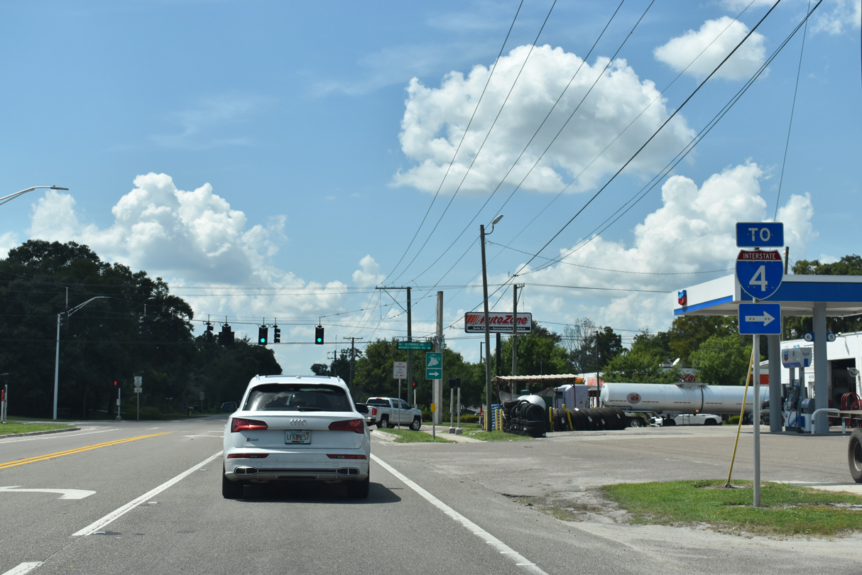
SR 553 overlays Park Road 1.41 miles north to Interstate 4 at Exit 22. Park Road south from U.S. 92 (Baker Street) is unsigned CR 574A to Alsobrook Road, where it becomes unsigned CR 39B southwest to James L. Redman Parkway (old SR 39).
09/10/19
U.S. 92 (Baker Street) expands to a four lane boulevard west to Gordon Street. 47 miles of the route remain to St. Petersburg.
09/10/19
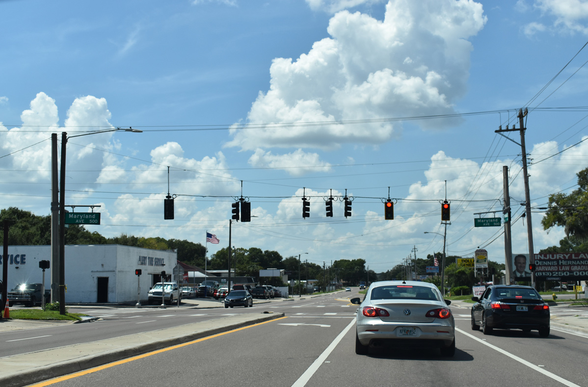
Maryland Avenue intersects U.S. 92 west at this traffic light north of Marshall Middle School.
09/10/19
U.S. 92 partitions into a one way couplet through Downtown Plant City along Baker Street west and Reynolds Street east beyond Gordon Street.
09/10/19
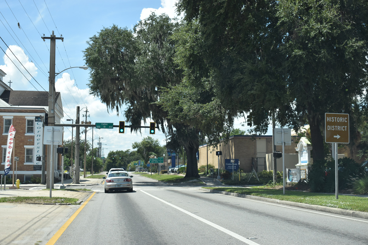
Collins Street originally carried SR 39 southward from U.S. 92 (Reynolds Street) east to Alexander Street and Redman Parkway in south Plant City. The state road now bypasses Downtown to the west along Alexander Street.
11/13/16
09/10/19
Wheeler Street leads due north from Downtown Plant City as the former SR 39 to Interstate 4 and Buchman Highway. This route was redesignated as County Road 39 in December 2013.
09/10/19
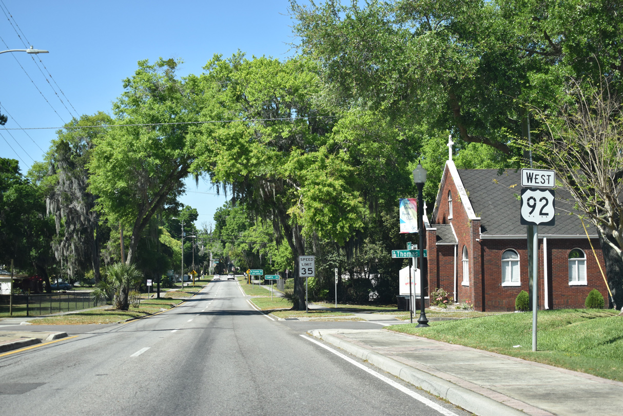
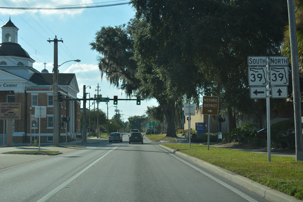
U.S. 92 west formerly shared a two block overlap with SR 39 between Collins and Wheeler Streets. This reassurance marker stands beyond their former split along Baker Street westbound.
03/17/21
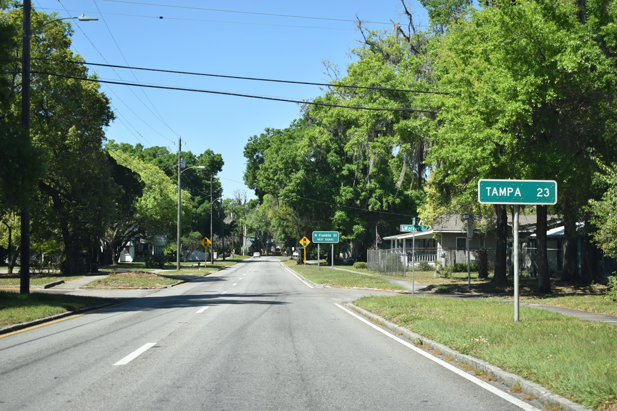
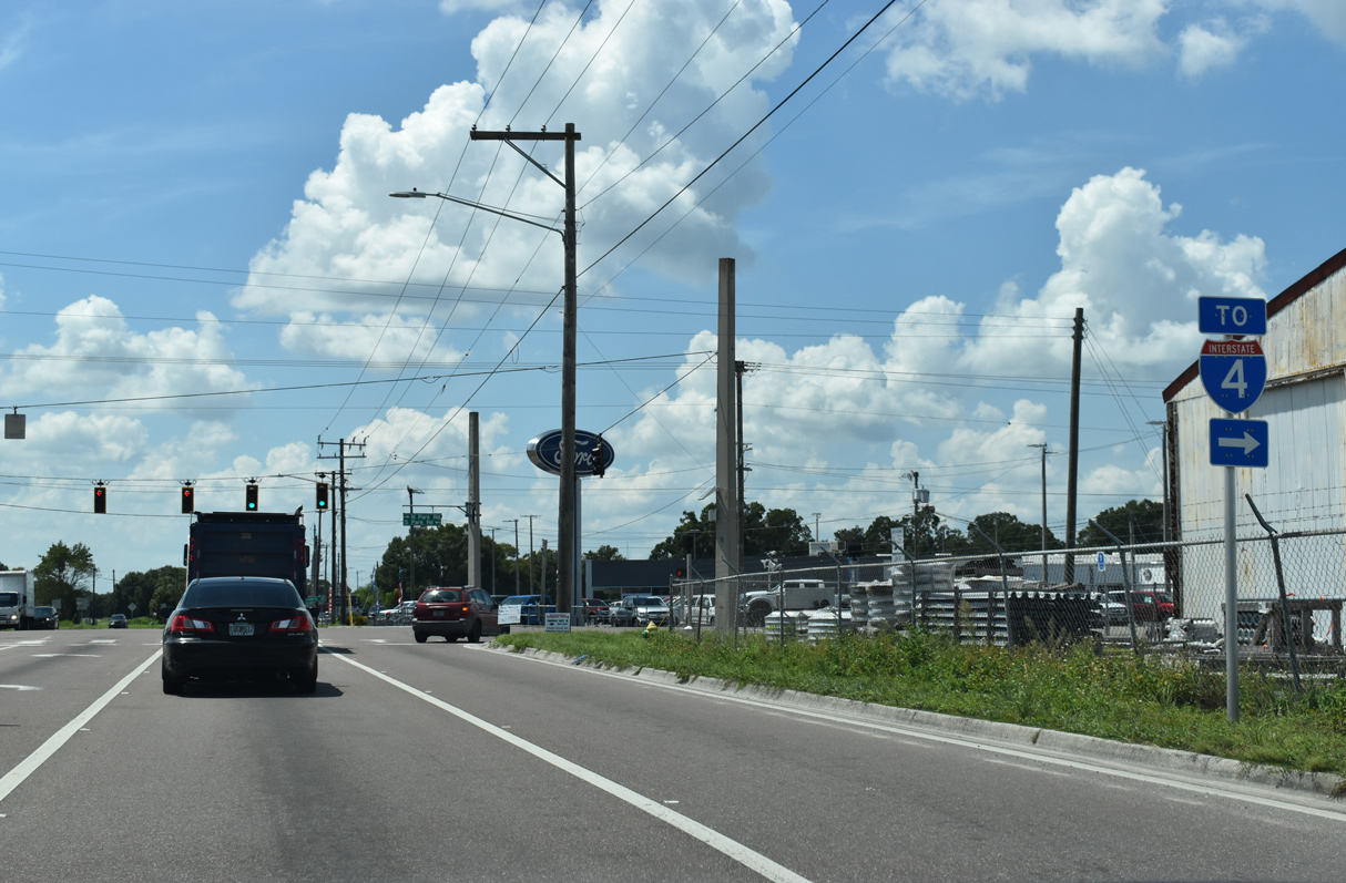
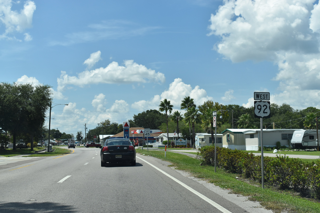
Heading west from Downtown Plant City, Tampa is another 23 miles via U.S. 92 and SR 45 (Nebraska Avenue) south. A previous distance sign posted here also referenced St. Petersburg at 46 miles.
03/17/21
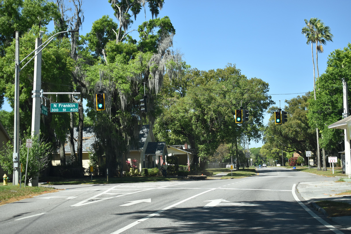
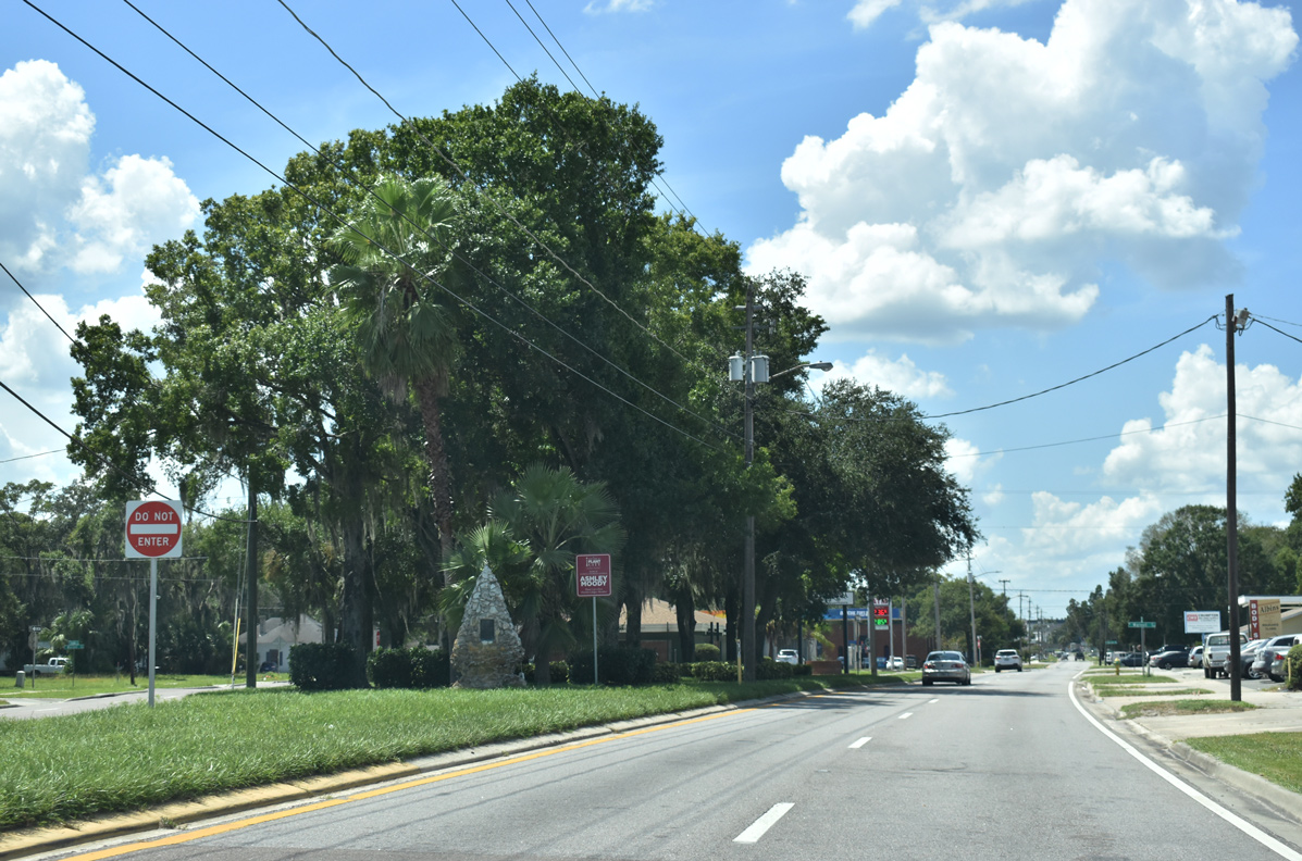
U.S. 92 (Baker Street) kinks westward through a residential neighborhood at Franklin Street.
03/17/21
Bending northward, U.S. 92 (Baker Street) passes by Rowena Mays Park ahead of SR 39 (Alexander Street). Signed previously as SR 39A, Alexander Street was redesignated as SR 39 when the four lane extension opened from I-4 north to Paul Buchman Highway on December 23, 2013.
09/10/19
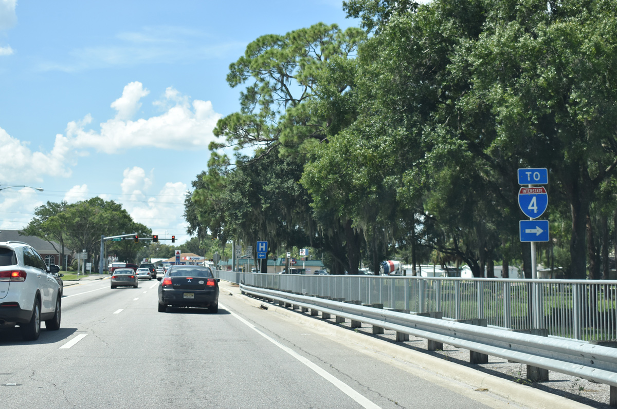
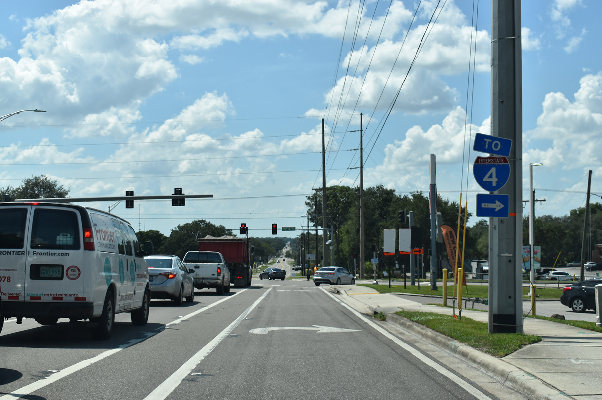
Alexander Street angles northeast one mile to a parclo interchange (Exit 20) with Interstate 4.
09/10/19
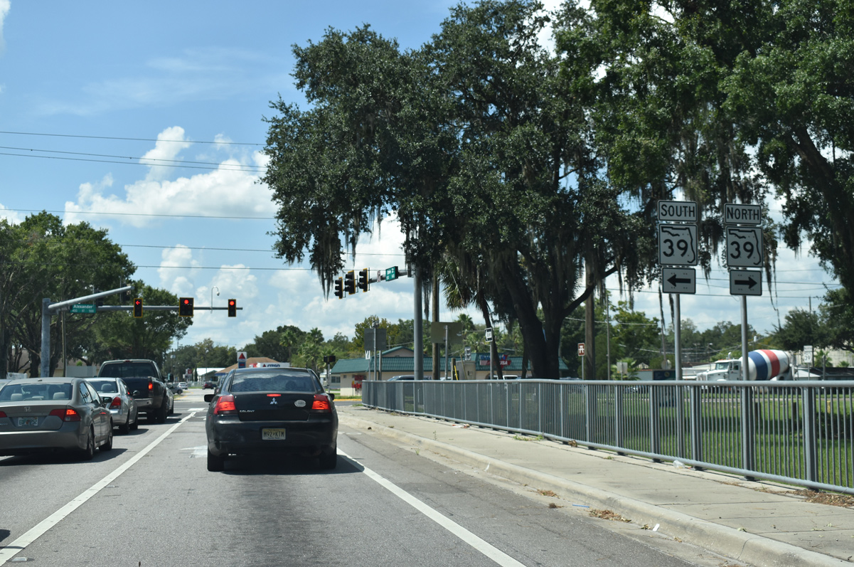
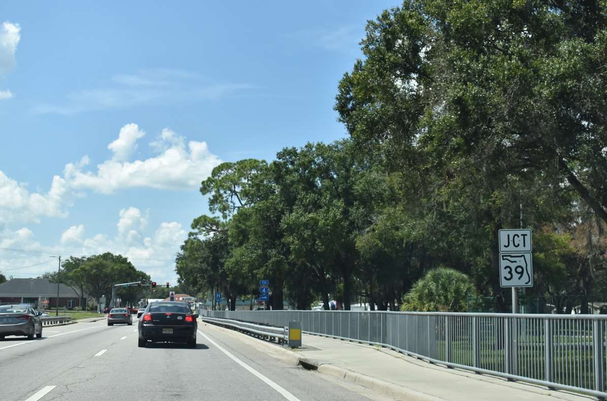
SR 39 (Alexander Street) connects U.S. 92 and adjacent SR 574 (Reynolds Street) west to the Florida Strawberry Festival grounds. Alexander Street also forms part of a truck bypass around Downtown Plant City. SR 39 overall travels between SR 60 at Hopewell and U.S. 301 at Zephyrhills.
09/10/19
The couplet of U.S. 92 along Baker Street west and Reynolds Street east comes together at Mobley Street two blocks west of SR 39 (Alexander Street).
09/10/19
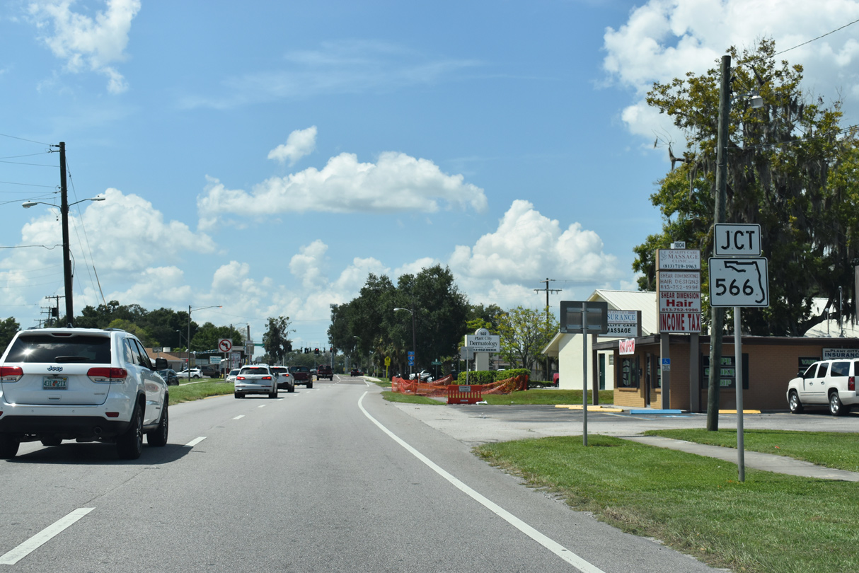
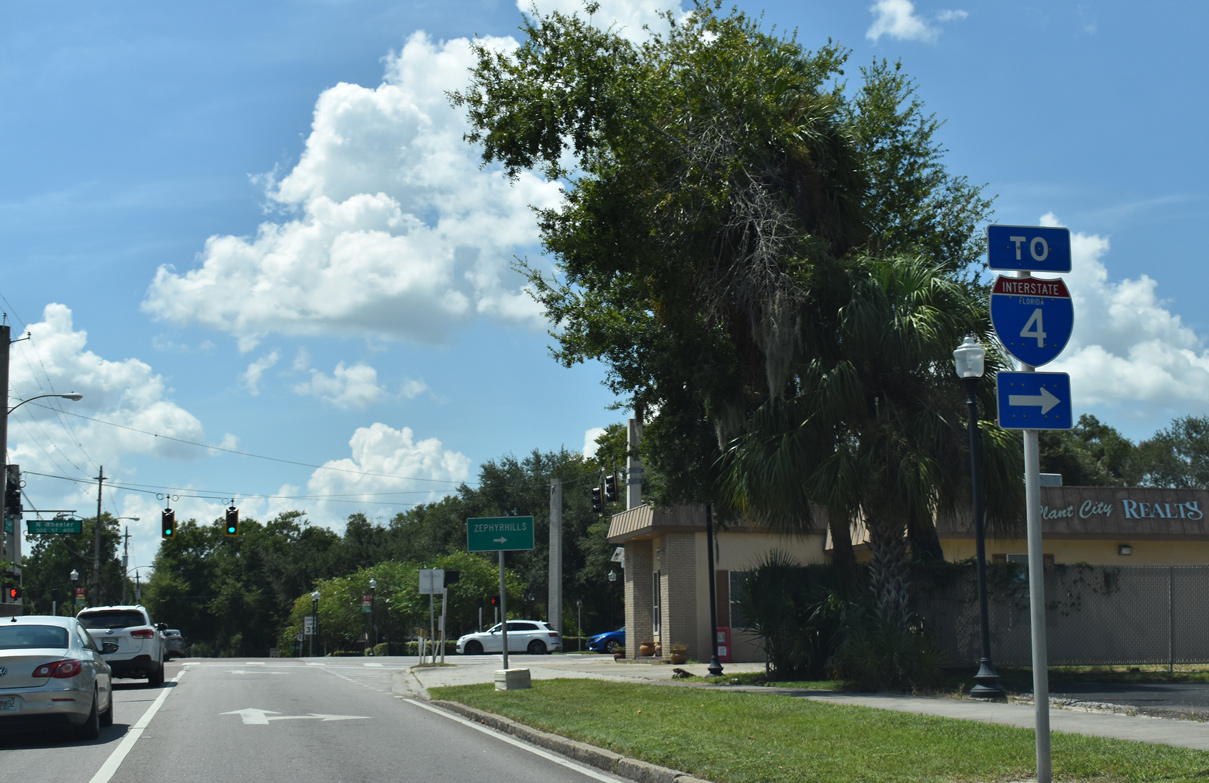
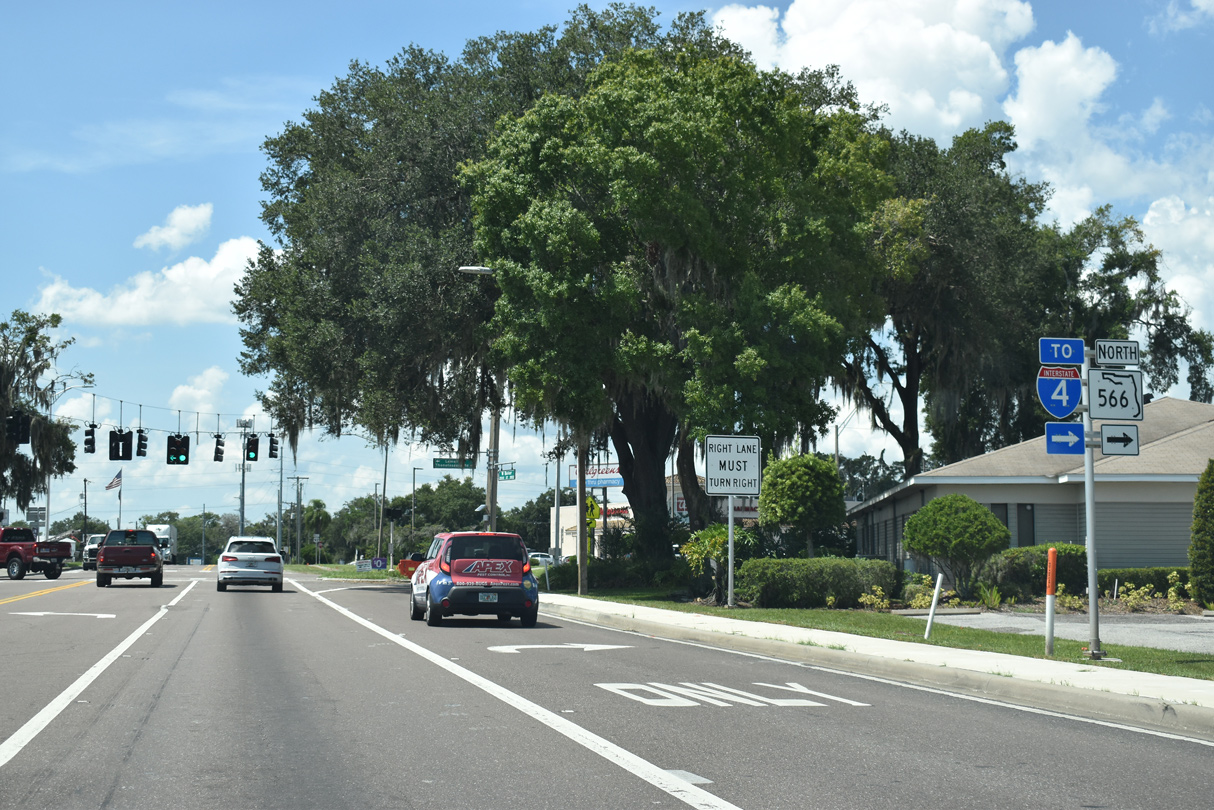
SR 566 (Thonotosassa Road) branches 0.93 miles northwest from U.S. 92 to Interstate 4 at Exit 19.
09/10/19
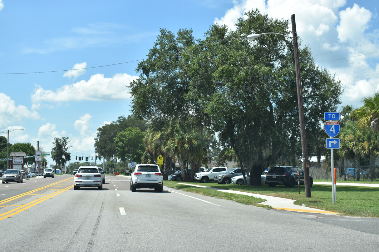
SR 566 (Thonotosassa Road) branches northwest from U.S. 92 as a 0.93 mile route to Interstate 4 at Exit 19.
09/10/19

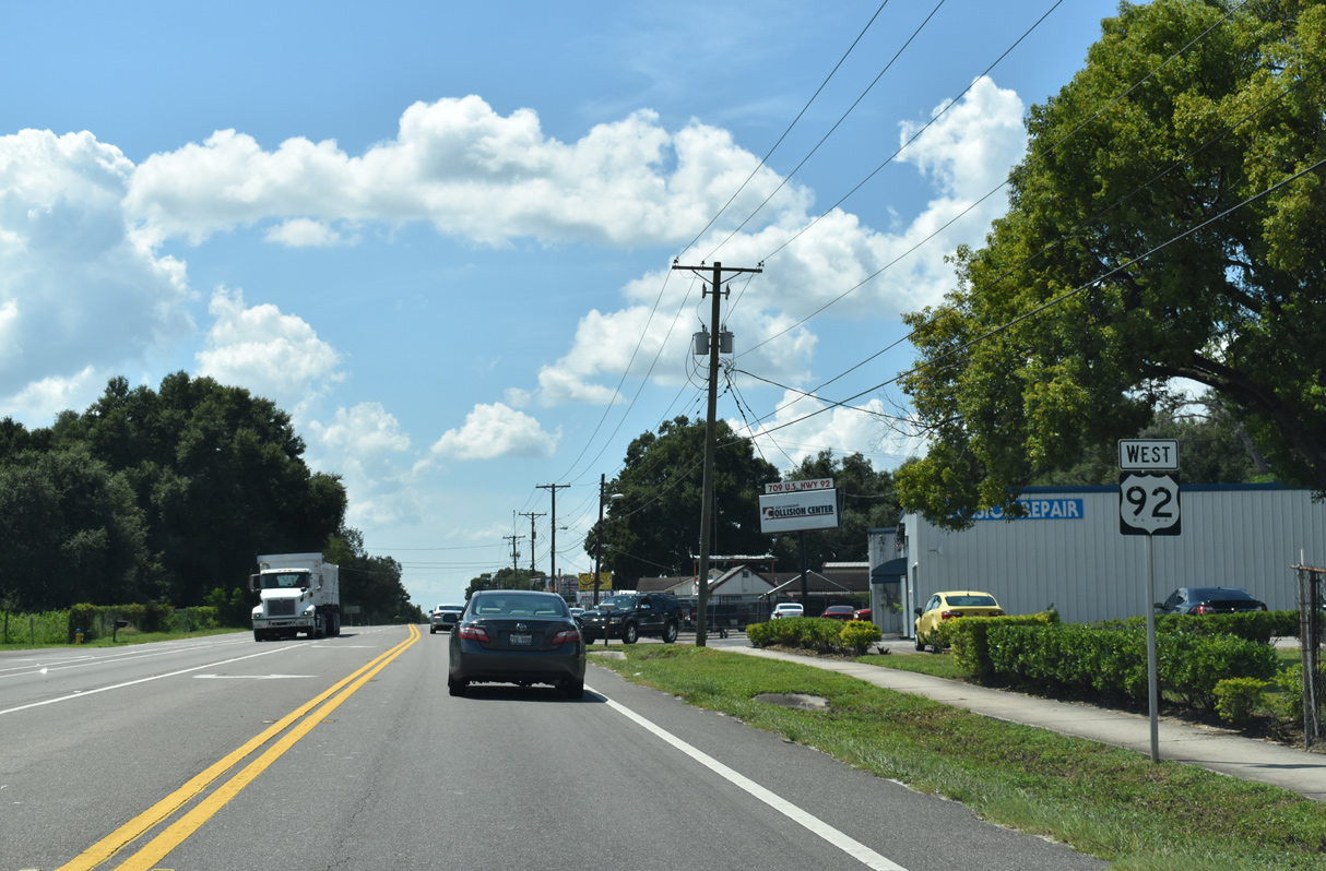
U.S. 92 continues another 1.6 miles from SR 566 along western reaches of the Plant City limits.
09/10/19
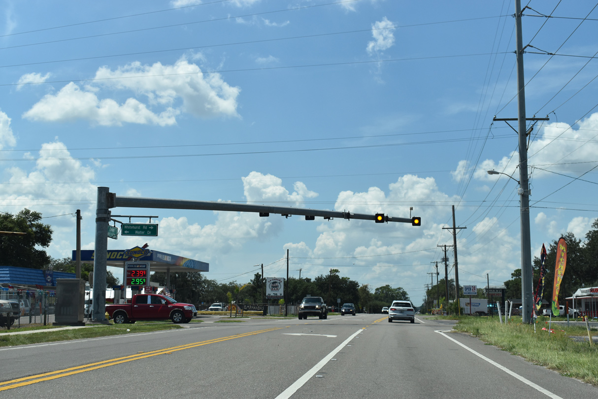
U.S. 92 west at Whitehurst Road north and Walter Dive south to Reynolds Street.
09/10/19
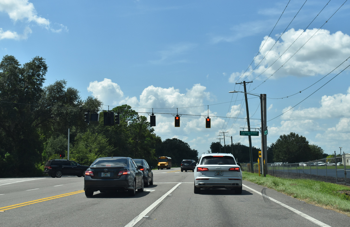
Turkey Creek Road stems 1.02 miles south from U.S. 92 to SR 574 (Dr. Martin Luther King, Jr. Boulevard) as unsigned CR 574B and 5.78 miles to SR 60 near Edward Medard Reservoir.
09/10/19
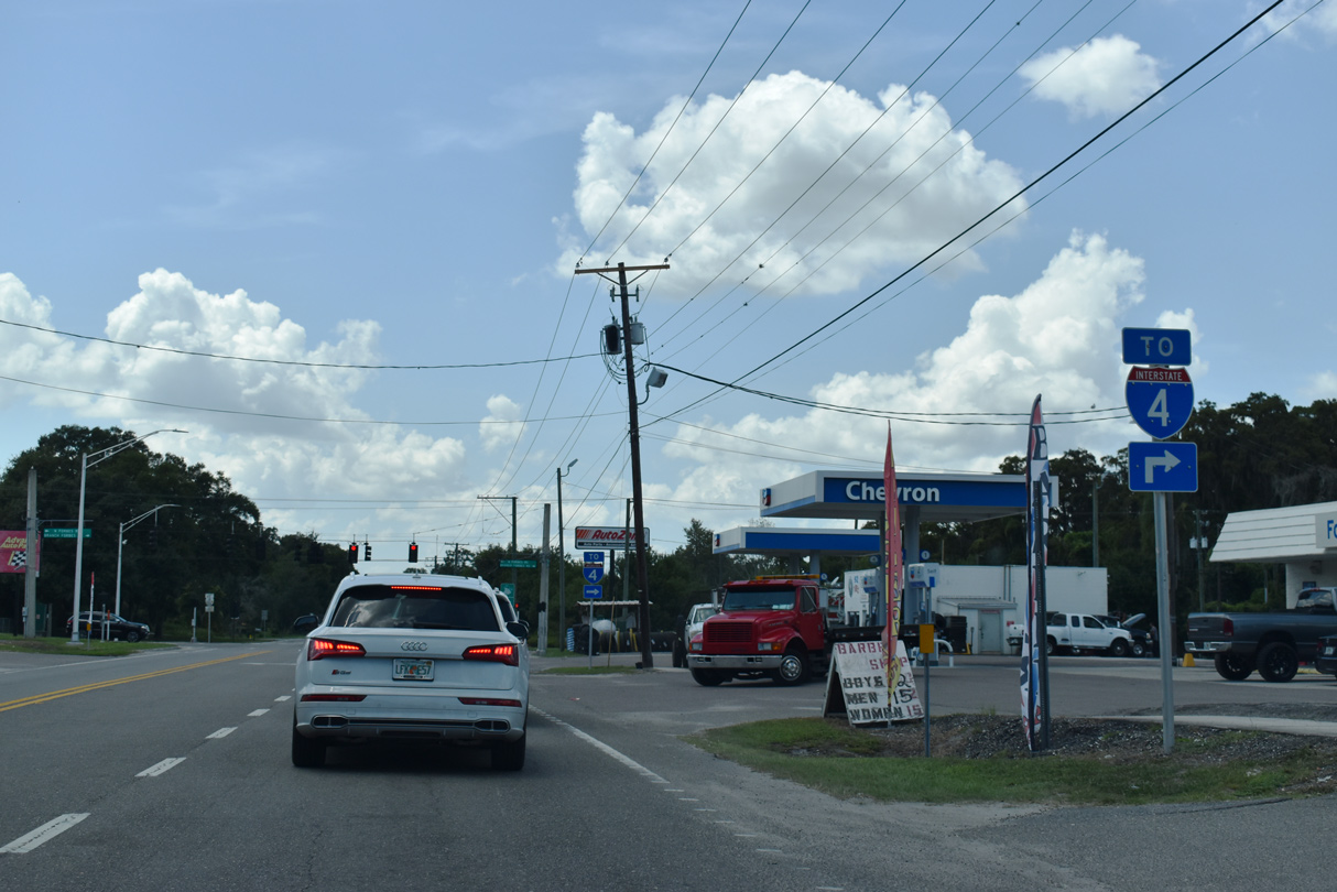
Branch Forbes Road links U.S. 92 with parallel Interstate 4 at Exit 17.
09/10/19
Branch Forbes Road is a major collector between U.S. 92 at N Forbes Road and Thonotosassa Road (CR 582) at Stafford Road.
09/10/19
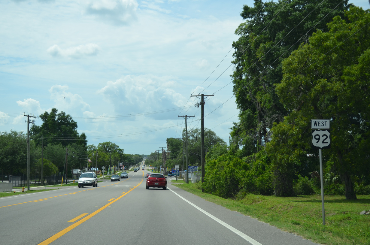
Passing north of Dover, U.S. 92 (Hillsborough Avenue) remains rural between a mixture of agricultural field and residential streets.
09/10/19
Moores Lake Road heads 1.91 miles south to SR 574 at Dover and 5.19 miles to SR 60 south of Sydney.
09/10/19
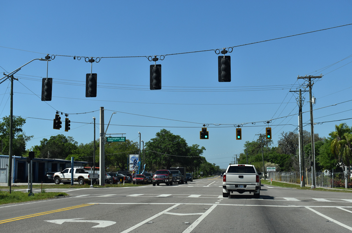
The signal at Gallagher Road serves Strawberry Crest High School.
03/17/21
McIntosh Road heads north from U.S. 92 (Hillsborough Avenue) 2.39 miles to nearby Interstate 4 and Thonotosassa Road (CR 580).
03/17/21
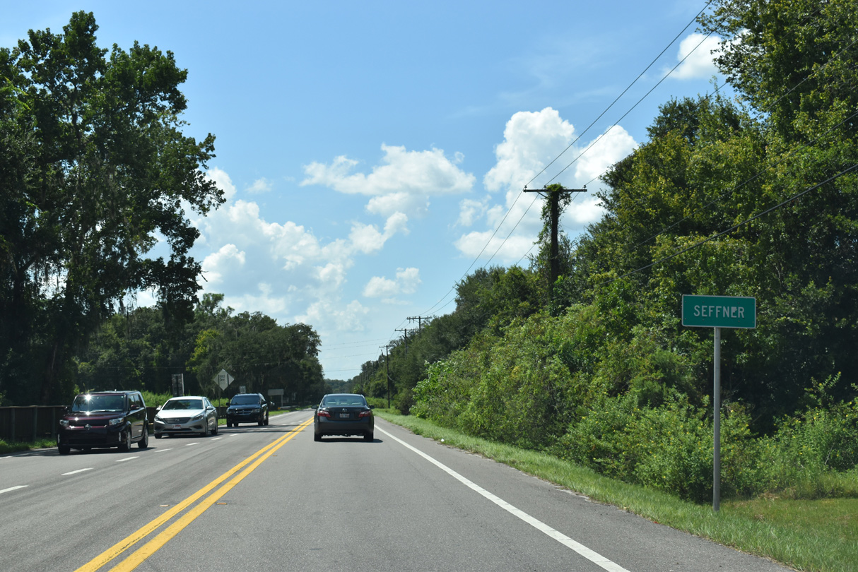
Hillsborough Avenue proceeds west from McIntosh Road into the unincorporated community of Seffner.
09/10/19
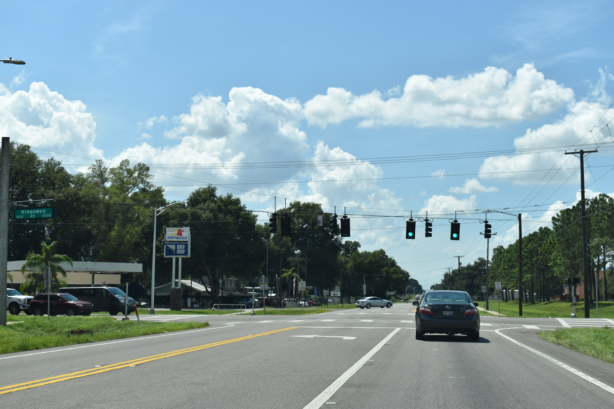
Kingsway Road intersects U.S. 92 (Hillsborough Avenue) 3.09 miles south of CR 580 by Lake Thonotosassa and 1.64 mils north of SR 574 (MLK Boulevard) in Seffner.
09/10/19
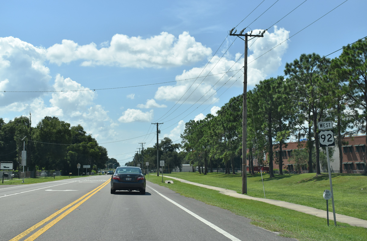
U.S. 92 (Hillsborough Avenue) runs across the north side of unincorporated Mango wedt of Kingsway Road.
09/10/19
Parsons Avenue leads 4.65 miles south from Hillsborough Avenue to SR 60 at Brandon.
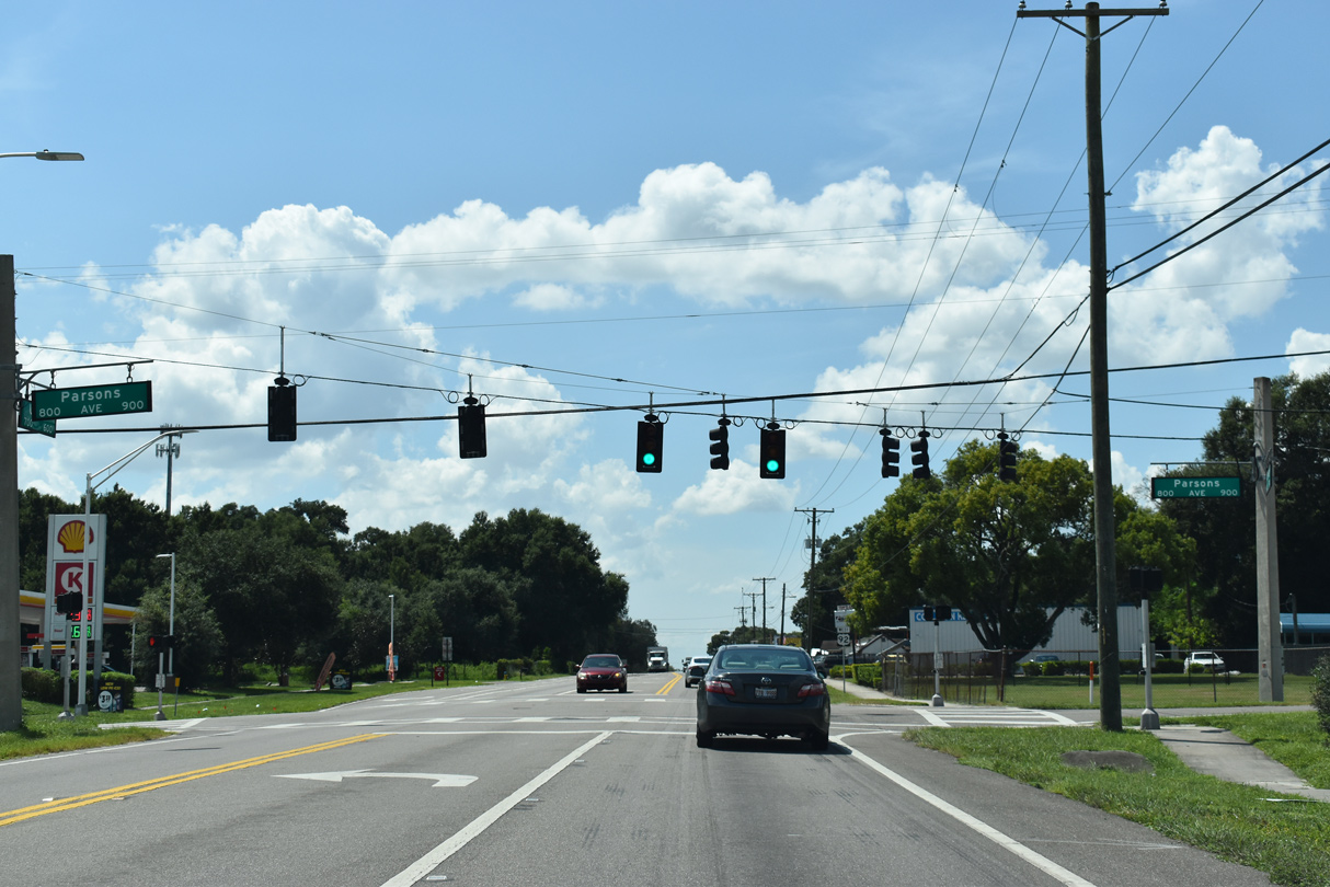
09/10/19
The area west of Parsons Avenue along U.S. 92 was historically known as Jolly Corner.
09/10/19
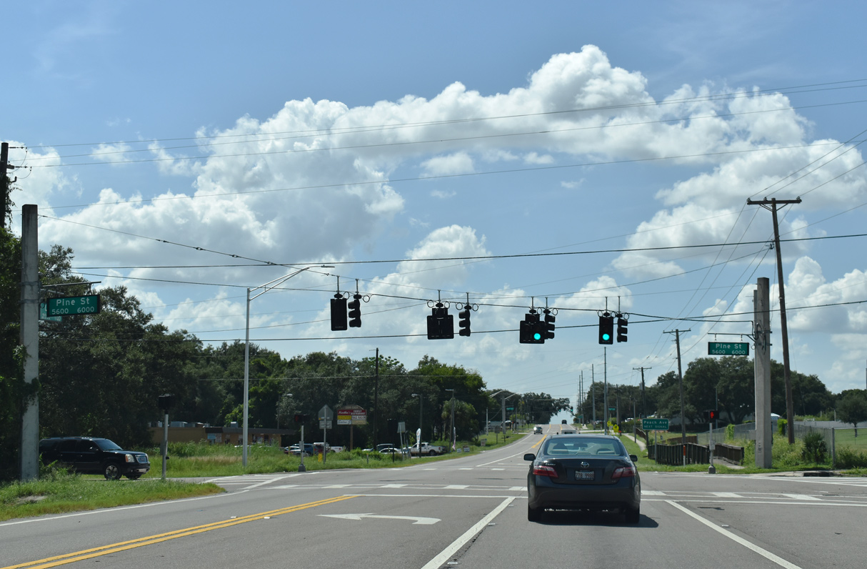
Pine Street spurs north to Armwood High School and leads south to the Mango Hills community.
09/10/19
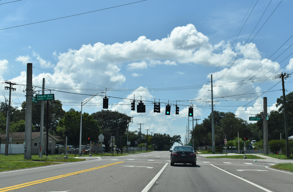
The signal at Peach Avenue also serves adjacent Armwood High School.
09/10/19
U.S. 92 west next intersects CR 579 (Mango Road), a 6.02 mile long route south to SR 574 in Mango and north to U.S. 301 at Thonotosassa.
09/10/19
Mango Road connects with Interstate 4 nearby at Exit 10.
09/10/19
U.S. 92 (Hillsborough Avenue) continues west from County Road 579 and the Mango community.
04/15/15
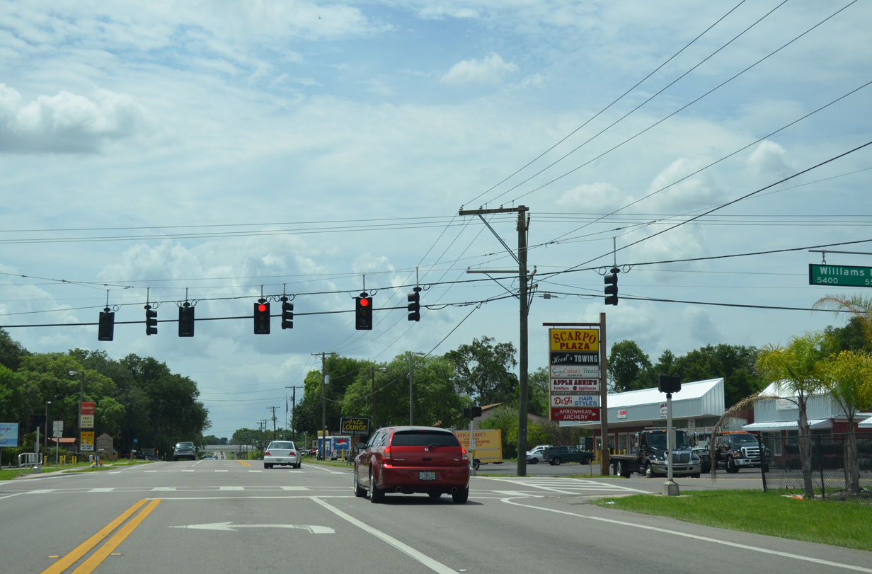
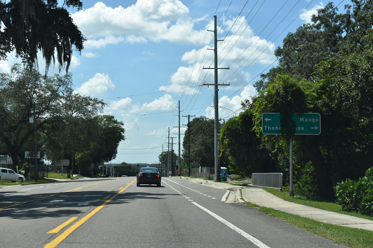
Williams Road parallels Interstate 75 to the east from SR 582 in the Thonotosassa area south to intersect U.S. 92 (Hillsborough Avenue) en route to Broadway (CR 574) at Mango.
04/15/15


Photo Credits:
- AARoads: 07/04/08
- Alex Nitzman: 04/15/15, 09/10/19, 03/17/21
- ABRoads: 11/13/16
Connect with:
Page Updated Monday February 28, 2022.