
U.S. 93 North - Wickenburg to Interstate 40


 North
North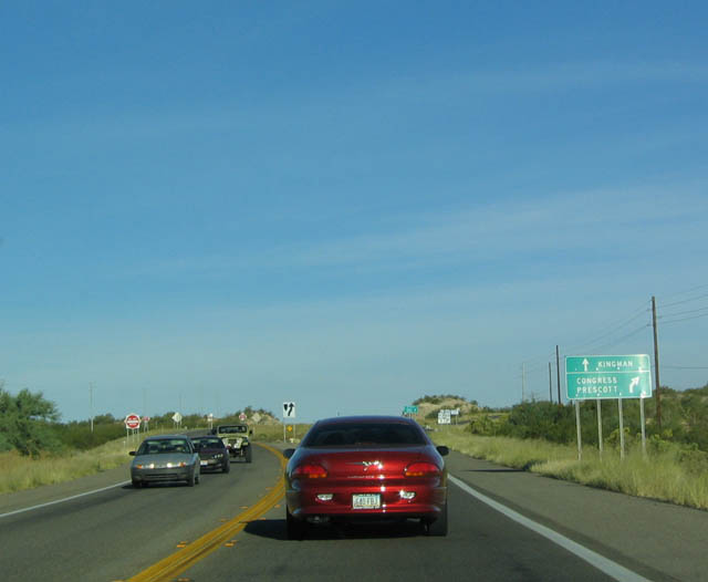
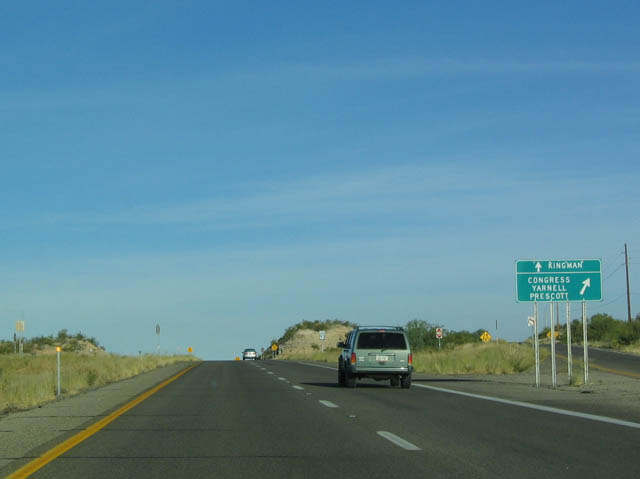
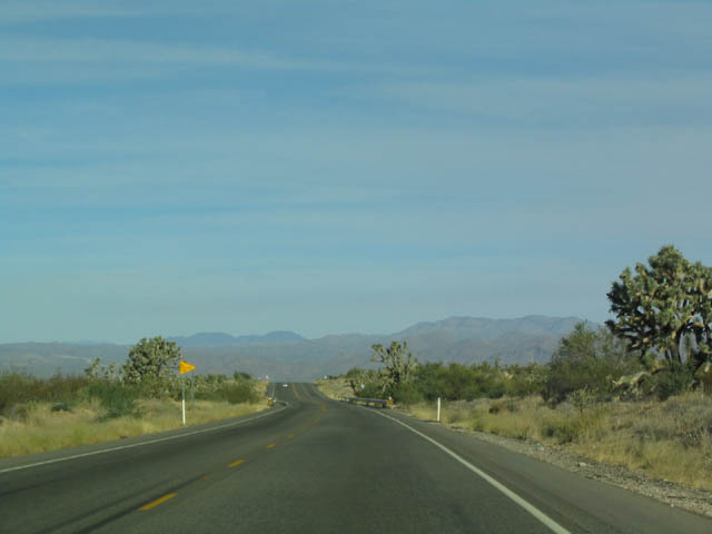
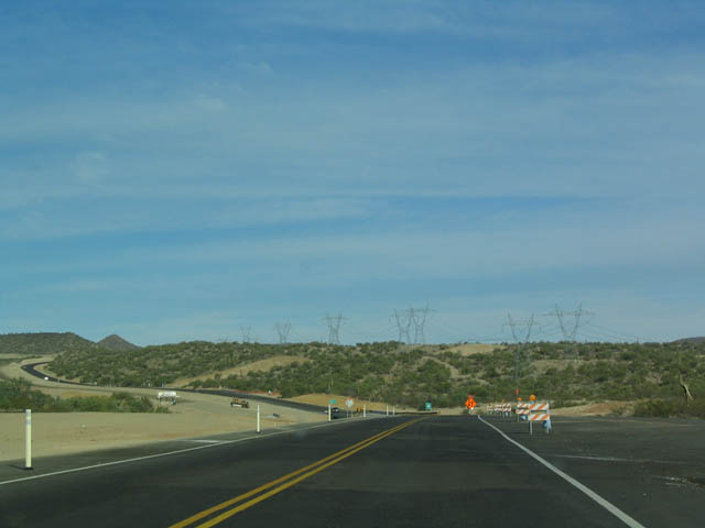
The first major junction along northbound U.S. 93 is with SR 89, which heads northeast toward Congress, Prescott, Chino Valley, and Ash Fork, with connections to Sedona, Oak Creek Canyon, and Flagstaff via SR 89A. U.S. 93 is a safety corridor, and headlights are required for the entire stretch from Wickenburg north to Interstate 40.
10/24/03
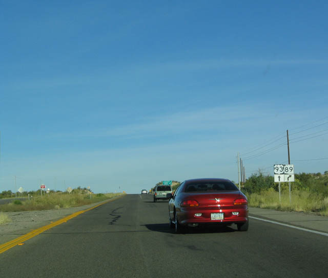
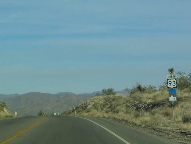
These shields show that U.S. 93 continues straight ahead, while SR 89 exits right. U.S. 93 is only two lanes wide here but widens to four lanes upon reaching the intersection. This interchange, along with the exchange for SR 71, is slated to have a continuous set of four lanes from Wickenburg north to I-40 as part of the process to upgrade U.S. 93 to four lane, divided highway standards. U.S. 93 is part of the CANAMEX Corridor and is the most direct route from Phoenix to Las Vegas. The bypass around Wickenburg is proposed to be constructed to the south and west of the city.
10/24/03
This intersection (SR 89) was the southern terminus for U.S. 93 until 1989, when U.S. 89 was truncated at Flagstaff. At that time, U.S. 93 was extended south to Wickenburg, taking over the previous alignment of U.S. 89. Now this is the intersection between U.S. 93 and SR 89 (old U.S. 89).
10/24/03
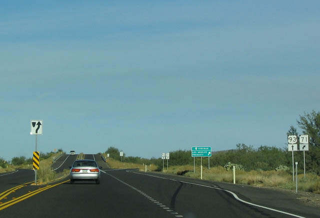
The next interchange along northbound is for SR 71, which heads southwest to meet U.S. 60 near Aguila and northeast to meet SR 89 in Congress.
10/24/03
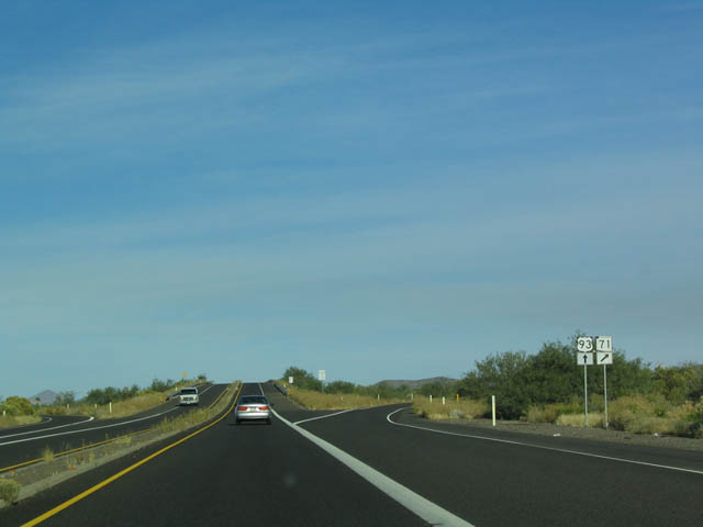
While U.S. 93 remains two lanes, it still features a diamond interchange with SR 71. U.S. 93 crosses over SR 71; U.S. 93 does not stop for SR 71.
10/24/03
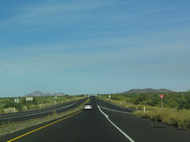
This picture shows the ramp from SR 71 merging back onto northbound U.S. 93. U.S. 93 remains two lanes, but plans call for expansion of this stretch to expressway (four lanes, divided highway) over the next several years.
10/24/03

U.S. 93 is mileposted from north to south, meaning that mileposts decrease as you drive further north. It is opposite how Interstates are mileposted (increase from south to north). However, they are helpful in determining the distance to Hoover Dam (180 miles from this marker).
10/24/03
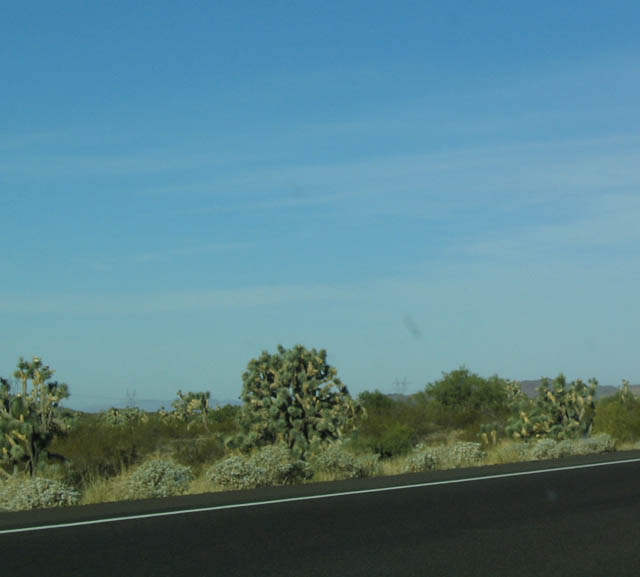
View of roadside Joshua Trees as seen on the west side of U.S. 93 from the northbound lanes. Several signs identify the Joshua Trees to passing motorists, and U.S.
10/24/03
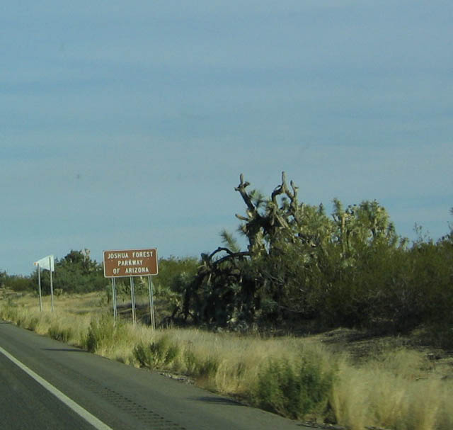
Signs such as this one identify U.S. 93 as the Joshua Forest Parkway due to the prominent Joshua Trees found along the highway between Wickenburg and Wikieup.
10/24/03
More Joshua Trees may be found on both sides of the highway.
10/24/03
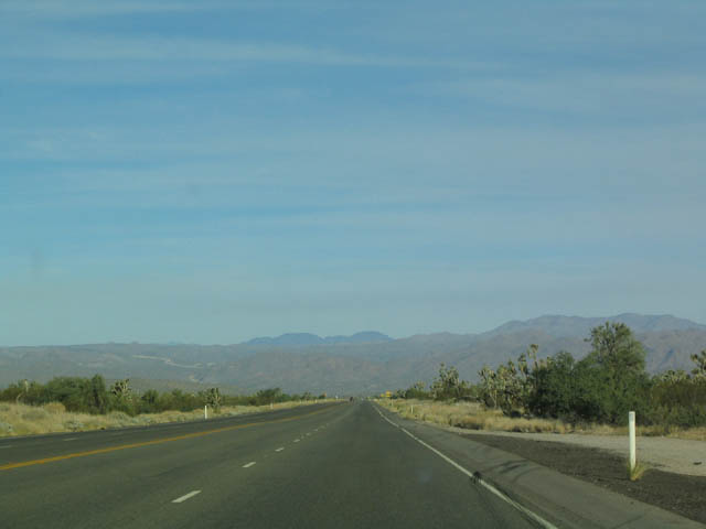
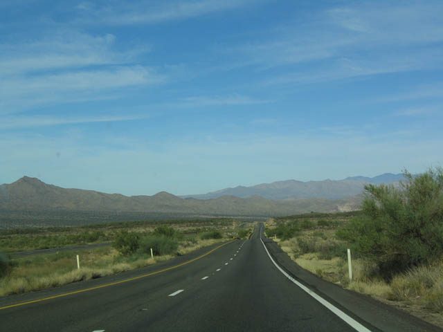
The mountains spread out over the desert horizon as U.S. 93 continues its northerly journey toward Wikieup and Kingman.
10/24/03
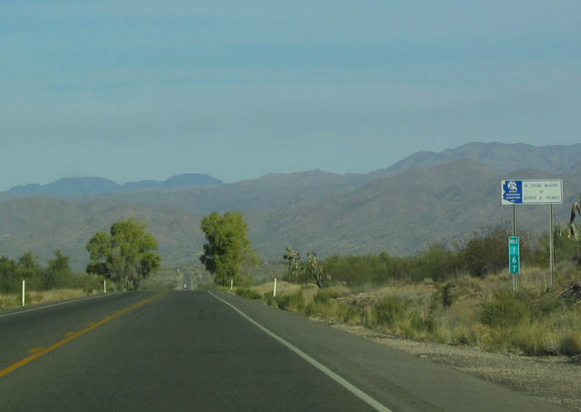
Northbound U.S. 93 at Milepost 167.
10/24/03
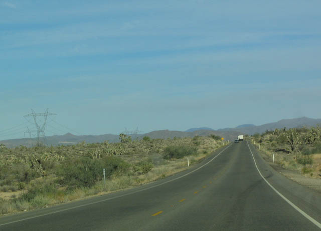
Several power transmission lines parallel U.S. 93 for its entire length through Arizona. These particular lines interconnect Central Arizona with the hydroelectric power generated on the dams of the Colorado River, the nuclear power plant at Palo Verde, and the fossil fuel generation facilities in northeastern Arizona and Shiprock, New Mexico.
10/24/03
U.S. 93 is designated as a scenic route for the length of the Joshua Forest Parkway.
10/24/03
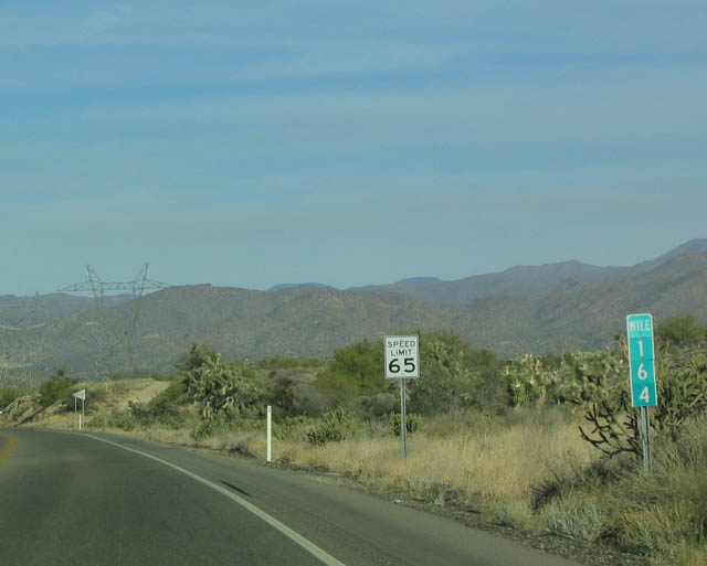
Northbound U.S. 93 at Milepost 164.
10/24/03

The aforementioned power transmission lines cross over U.S. 93 just after Milepost 164.
10/24/03
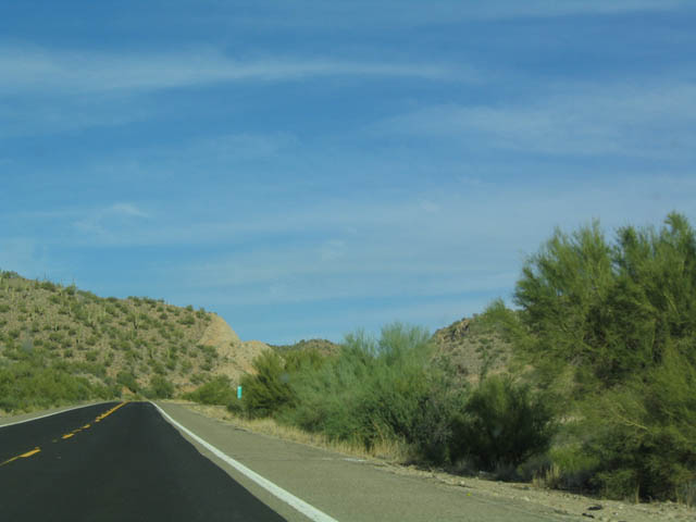
Continuing north, the terrain begins to change as U.S. 93 gains elevation.
10/24/03
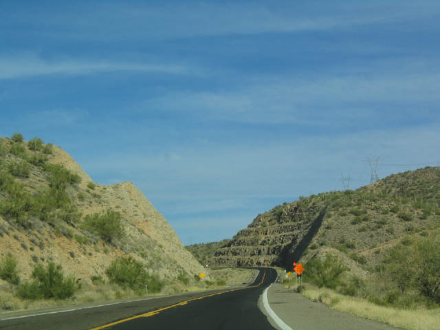
U.S. 93 cuts through several mountains and hills such as this one as the highway continues north.
10/24/03
Construction is underway here to widen U.S. 93 from two lanes to four lanes. Ultimately, the entire corridor will be widened to expressway standards with interchanges at major highways (such as SR 89 and SR 71). Notably, there are not many intersections along U.S. 93 north of SR 71. One intersection along this segment that we did not photograph is the intersection with SR 97, which leads northeast to SR 96 and the town of Bagdad.
10/24/03
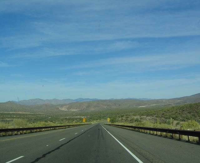
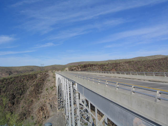
View of the completed divided highway a few miles north of the construction zone. This divided highway segment lasts all the way to the Burro Creek Bridge.
10/24/03
U.S. 93 briefly loses the barrier between the two directions to accommodate a left turn.
10/24/03

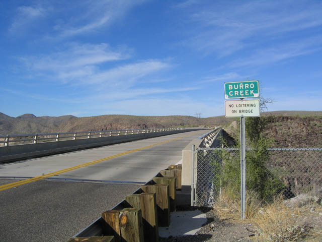
Northbound U.S. 93 at a left turn along the divided highway segment. The federal Bureau of Land Management - Burro Creek Recreation Site is near located here (turnoff at Milepost 132, one mile south of Burro Creek Bridge), and it features camping and hiking. The recreation area is located along the original alignment of former SR 93.
10/24/03
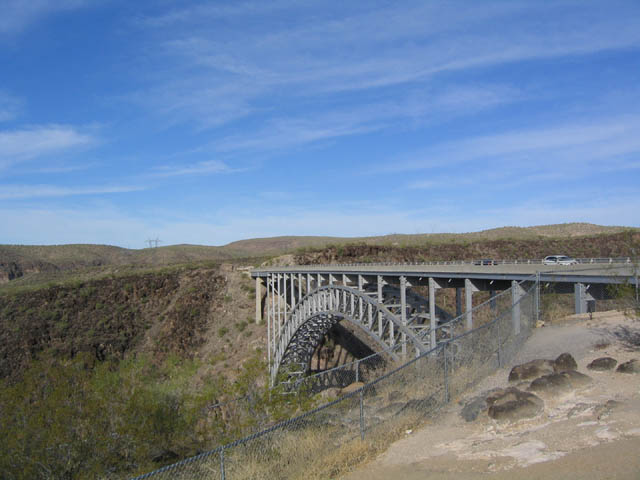
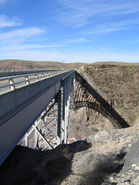
The divided highway segment along northbound ended abruptly upon reaching the Burro Creek Bridge. This view of the steel arch bridge is seen from the former rest area on the west side of U.S. 93, looking north. This former rest area was destroyed as part of the widening in 2005.
10/24/03
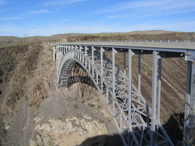
Built in 1964, the Burro Creek Bridge is a cantilever construction using temporary cable-stays. This section of road was upgraded to four lanes in 2006, adding a parallel bridge built in similar style to the original bridge. The approaches to the bridge were built as part of highway construction in the mid-1950s, but the bridge was not completed until 1964 due to financial and technical reasons.
10/24/03

As for Burro Creek itself, the creek actually flows continuously through all seasons, a perennial stream that flows relatively undisturbed (no dams or diversions) into the lower desert. The stream cut the canyon, which necessitated the bridge for U.S. 93. This view shows the bridge looking north from the west side.
10/24/03
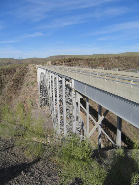
Northbound U.S. 93 at the Burro Creek Bridge sign. The top of the bridge is not as remarkable as the substructure of the bridge.
10/24/03
View of the east side of the Burro Creek Bridge, looking north.
10/24/03
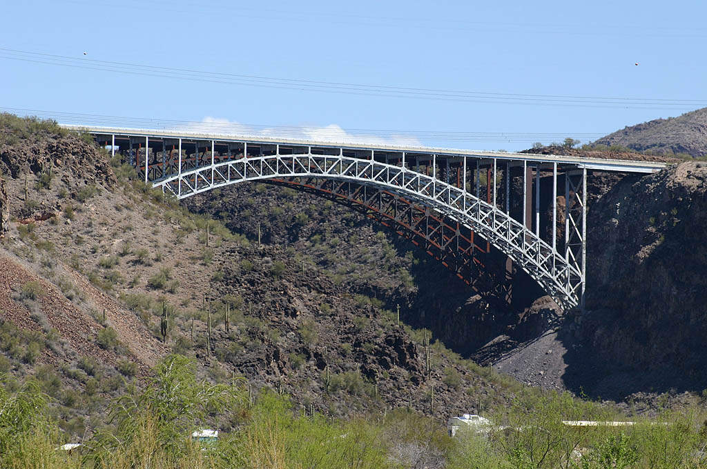
This photo of the Burro Creek Bridges was taken from old SR 93, looking upstream along the creek.
10/24/03

Now approaching Wikieup, U.S. 93 again widens out to four lanes. At Wikieup, the road again narrows to two lanes for the final distance to Interstate 40.
10/24/03
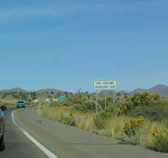
U.S. 93 is a safety corridor, and headlights are required for the entire stretch from Wickenburg north to Interstate 40. This sign denotes the end of the headlight-required section.
10/24/03
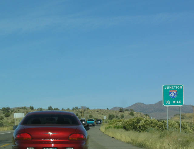
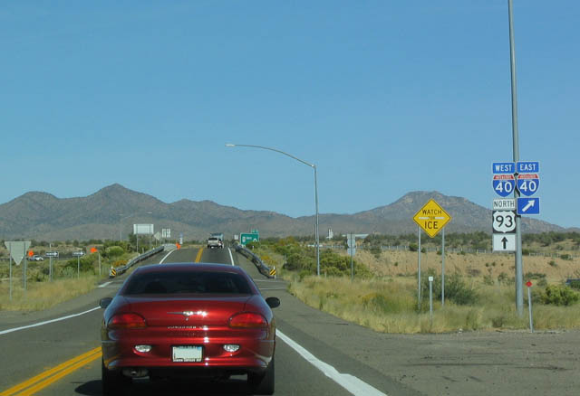
With the end of the headlight section, U.S. 93 approaches Interstate 40.
10/24/03
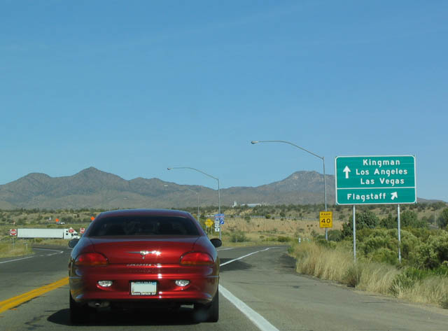
Interstate 40 east heads to Ash Fork, Williams, and Flagstaff, while westbound Interstate 40 and northbound U.S. 93 continue northwest toward Kingman, Bullhead City/Laughlin, Hoover Dam/Las Vegas, and Barstow/Los Angeles.
10/24/03
These trailblazer shields indicate that U.S. 93 will merge onto westbound Interstate 40. U.S. 93 remains merged with westbound Interstate 40 until reaching Kingman.
10/24/03
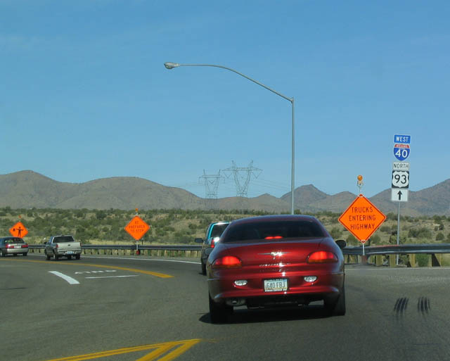
The northbound lane for U.S. 93 becomes a transition ramp onto westbound Interstate 40. Yes, that is the same annoying red car that was in our pictures at the intersection between U.S. 93 and SR 89.
10/24/03
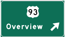
Photo Credits:
- Andy Field: 10/24/03
Connect with:
Page Updated Sunday April 22, 2007.