
U.S. 123 South - Clemson to Georgia

 West
West  South
South 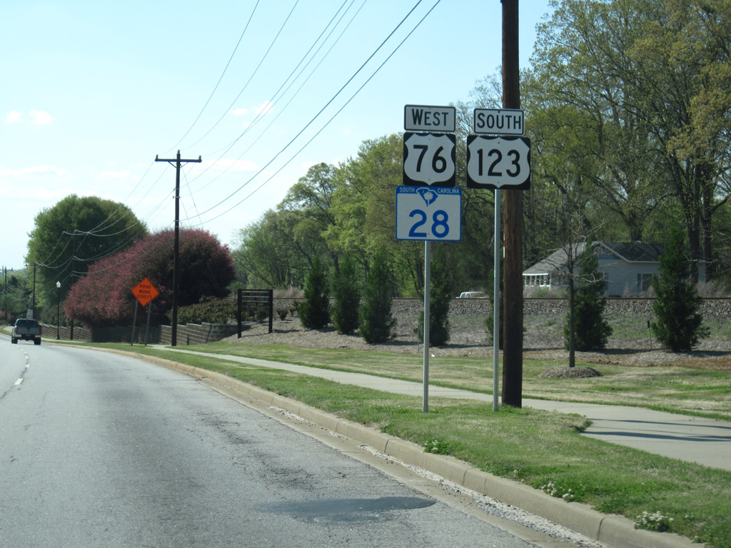
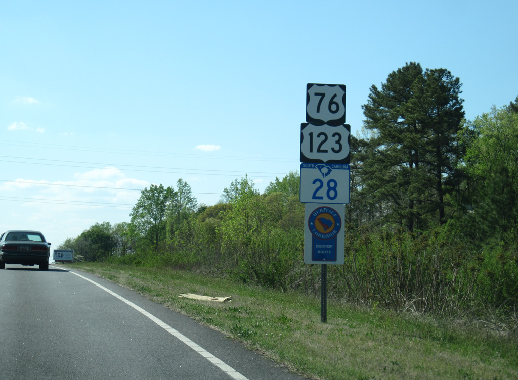
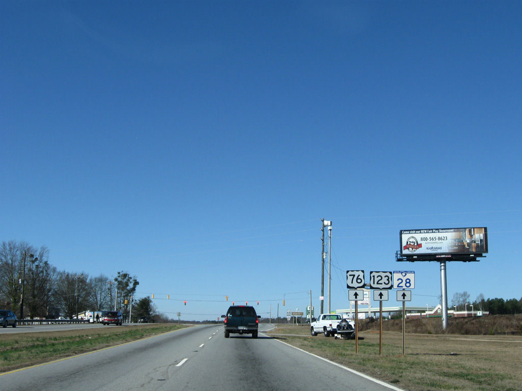
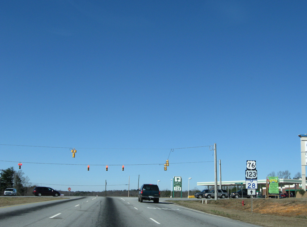
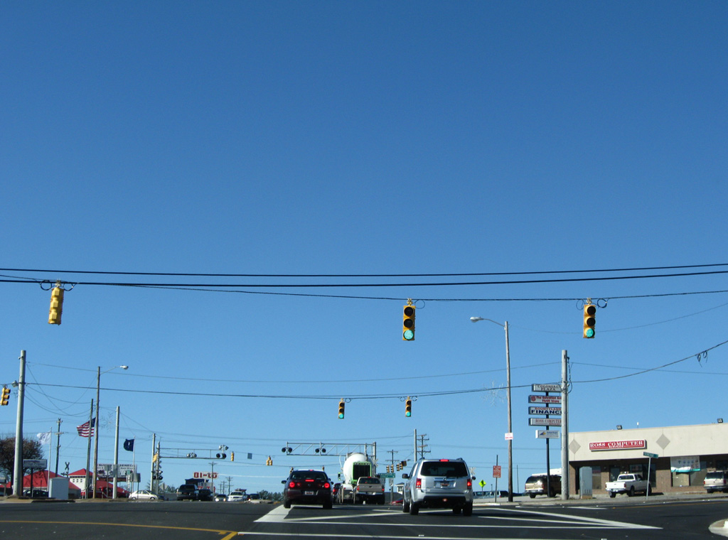
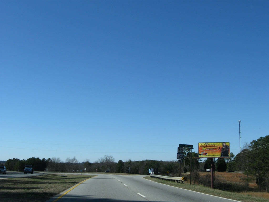
S.C. 28 combines with U.S. 123 for 9.1 miles west to Seneca. U.S. 76 remains paired with U.S. 123 for 17.4 miles to Westminster.
04/12/14
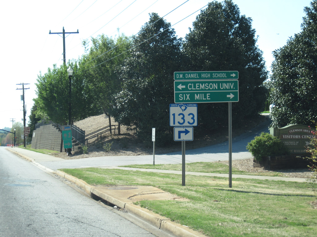
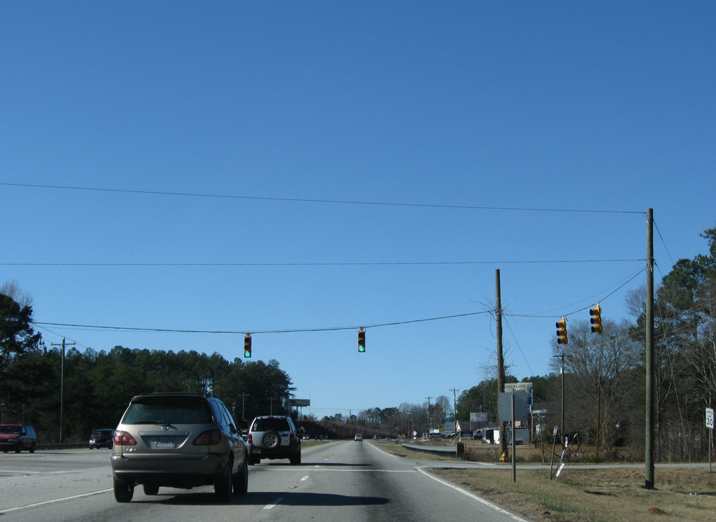
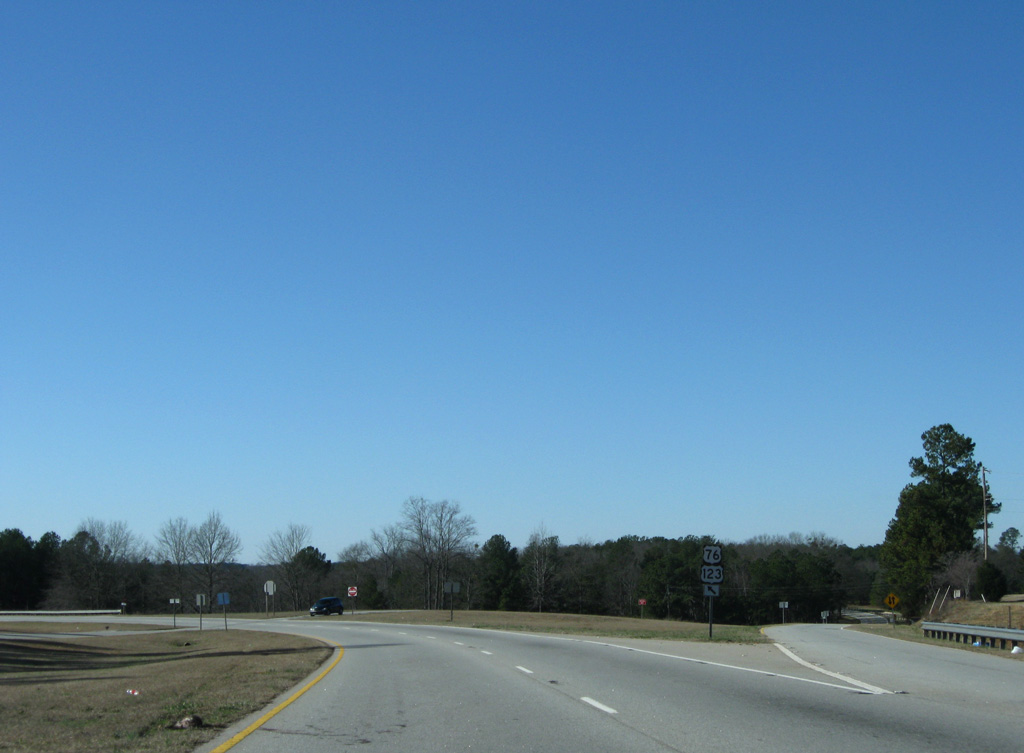
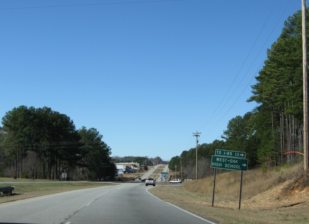
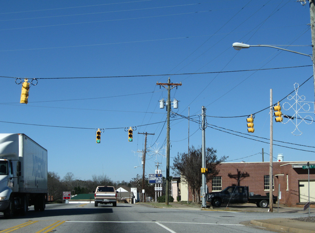
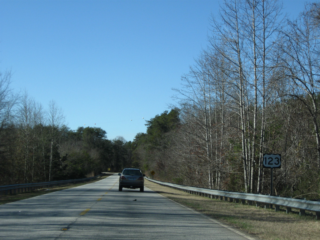
U.S. 76-123/S.C. 28 (Tiger Boulevard) intersect the south end of S.C. 133 (College Avenue) 0.25 miles after combining. S.C. 133 ventures north 8.12 miles to S.C. 137 in Six Mile and 20.54 miles overall to S.C. 11 (Cherokee Foothills Scenic Highway).
04/12/14
College Avenue extends south as a local roadway to the Clemson city center and Walter T. Dox Boulevard (former S.C. 93) at Clemson University.
12/31/08

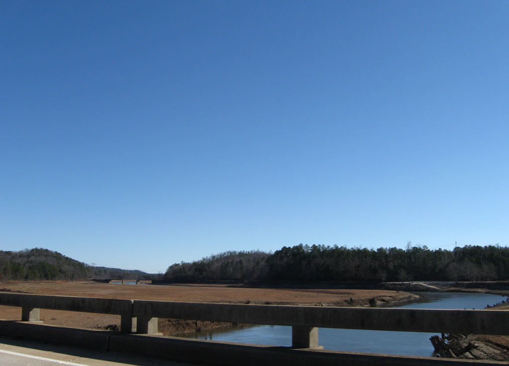
Spanning Seneca River, U.S. 76-123/S.C. 28 cross into Oconee County.
12/31/08
The four lane Seneca River bridge was built in 1958. It was reconstructed in 2000.
12/31/08
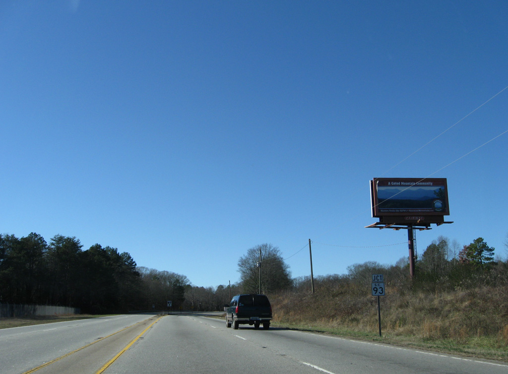
Advancing west from the Seneca River and Lake Hartwell, U.S. 76/123 converges with the former west end of S.C. 93 along Pendleton Road.
12/31/08
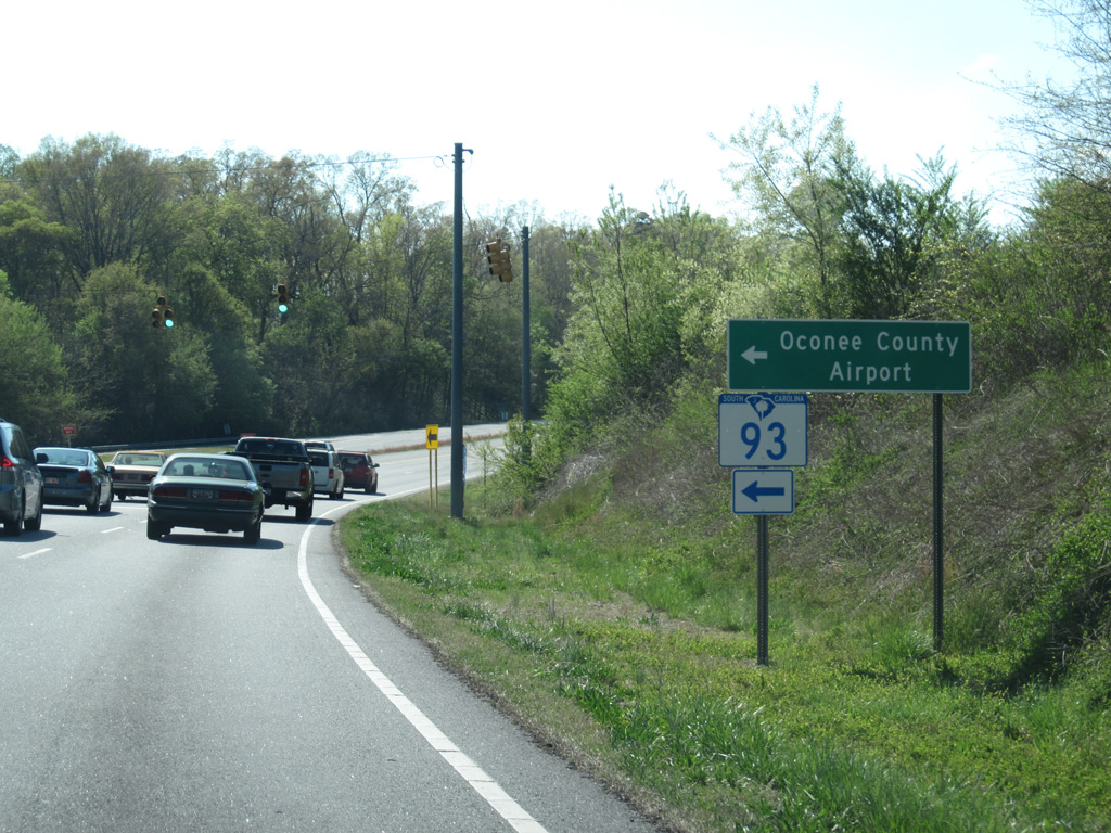
Pendleton Road (old S.C. 93) leads southeast back to Clemson University. Seneca Creek Road (Road 210) stems southwest from Road 4 nearby to Oconee County Regional Airport (CEU).
04/12/14
U.S. 76 west and U.S. 123/S.C. 28 north expand into a four lane, divided highway with a grassy median to Keowee.
04/12/14
U.S. 76/123-S.C. 28 (Clemson Boulevard) west next intersect Old Clemson Highway (Road 1) north and Davis Creek Road (Road 439) south. A wye intersection formerly linked Clemson Boulevard west with old alignment of U.S. 76/123 to Corinth and Courtenay.
12/31/08
Realigned to meet U.S. 76/123 at a right angle, Old Clemson Highway loops 3.52 miles north alongside a Norfolk Southern Railroad to S.C. 130. Davis Creek Road meanders 2.10 miles west to Shiloh Road (Road 37).
12/31/08
Upcoming Wells Highway (Road 488) forms an at-grade bypass to the south of Seneca from U.S. 76/123.
12/31/08
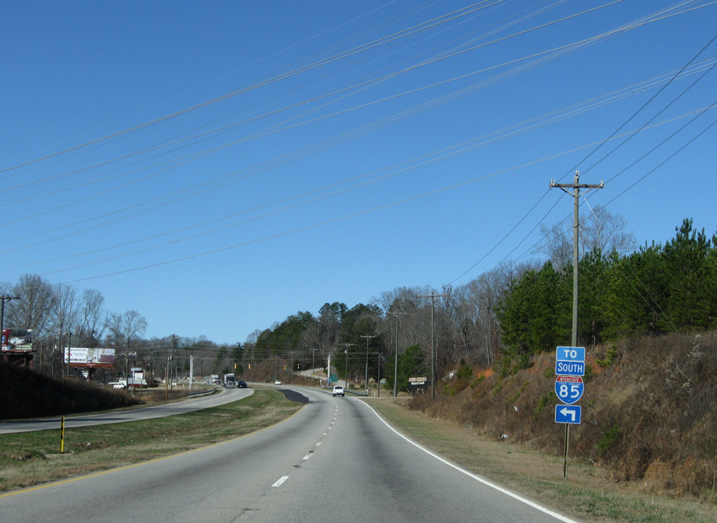
Wells Highway south to S.C. 59 (Tokeena Road) leads to Interstate 85 near Fair Play.
12/31/08
U.S. 76-123/S.C. 28 parallel Seneca Creek west ahead of the Seneca city line.
12/31/08
Carson Road north and Keowee Trail (Road 395) south tie into U.S. 76/123 on the outskirts of Seneca.
12/31/08
Lindsay Road (Road 62) arcs south alongside a Norfolk Southern Railroad line from U.S. 76-123/S.C. 28 to E Main Street in Downtown Seneca.
12/31/08
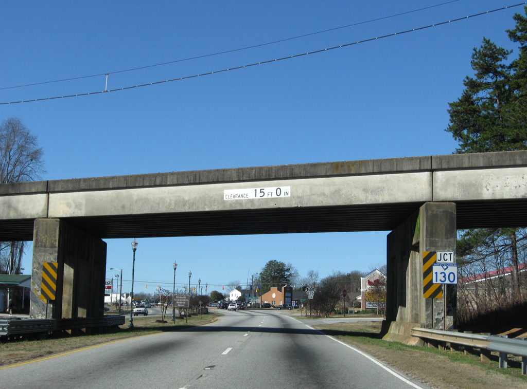
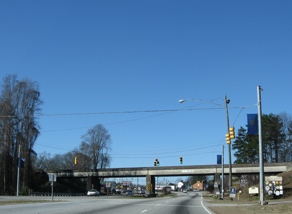
A commercialized intersection follows the NS Railroad overpass with S.C. 130 (Rochester Highway).
12/31/08
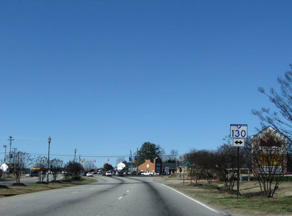
S.C. 130 originates in Downtown Seneca at North and Oak Streets from S.C. 59. The state highway straddles eastern reaches of Lake Keowee along Rochester highway from Seneca north across Little River Dam to S.C. 183 at Oconoee Nuclear Station.
12/31/08
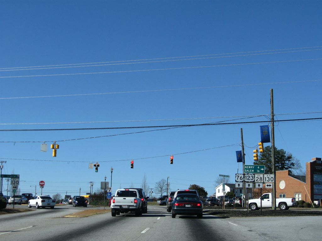
Newry lies 2.7 miles to the north via S.C. 130 (Rochester Highway). Salem is 16 miles away near the crossroads with S.C. 11 (Cherokee Foothills Scenic highway).
12/31/08

Business counterparts of U.S. 76/123 and S.C. 28 once looped south along First Street through Downtown Seneca. All three routes were decommissioned in 2001 and replaced with extensions of both S.C. 130 south and S.C. 59 north.
08/19/00
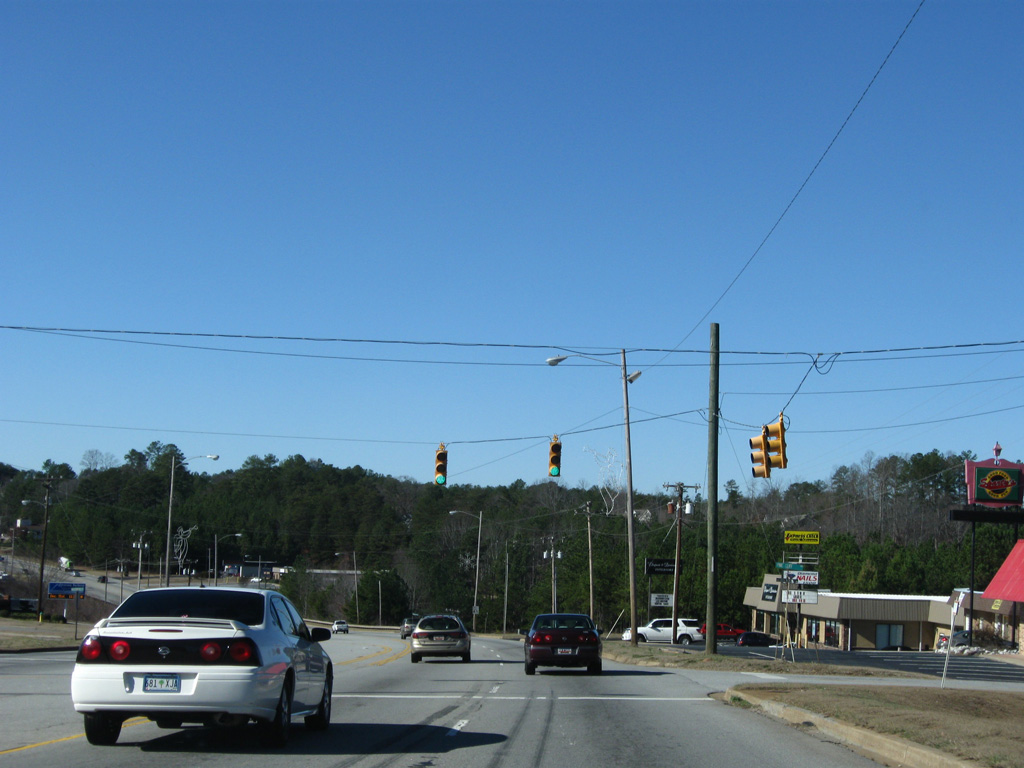
U.S. 76-123/S.C. 28 narrow to a five lane commercial boulevard across the north side of Seneca.
12/31/08
Walnut Street (Road 21) heads south from U.S. 76/123 to the Seneca street grid.
12/31/08
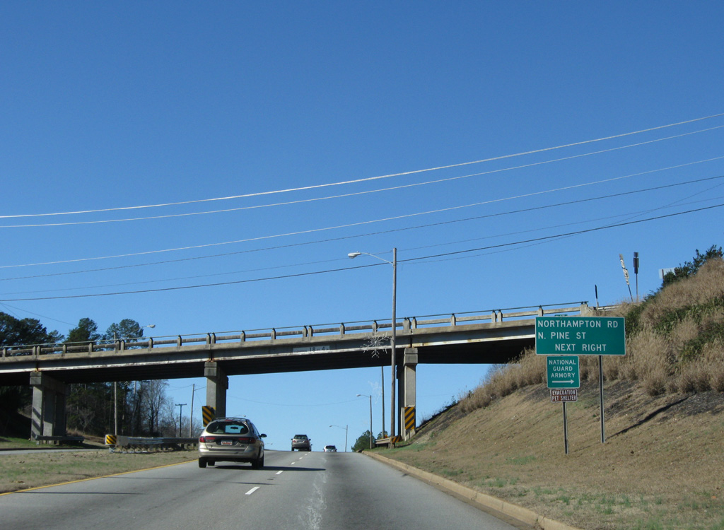
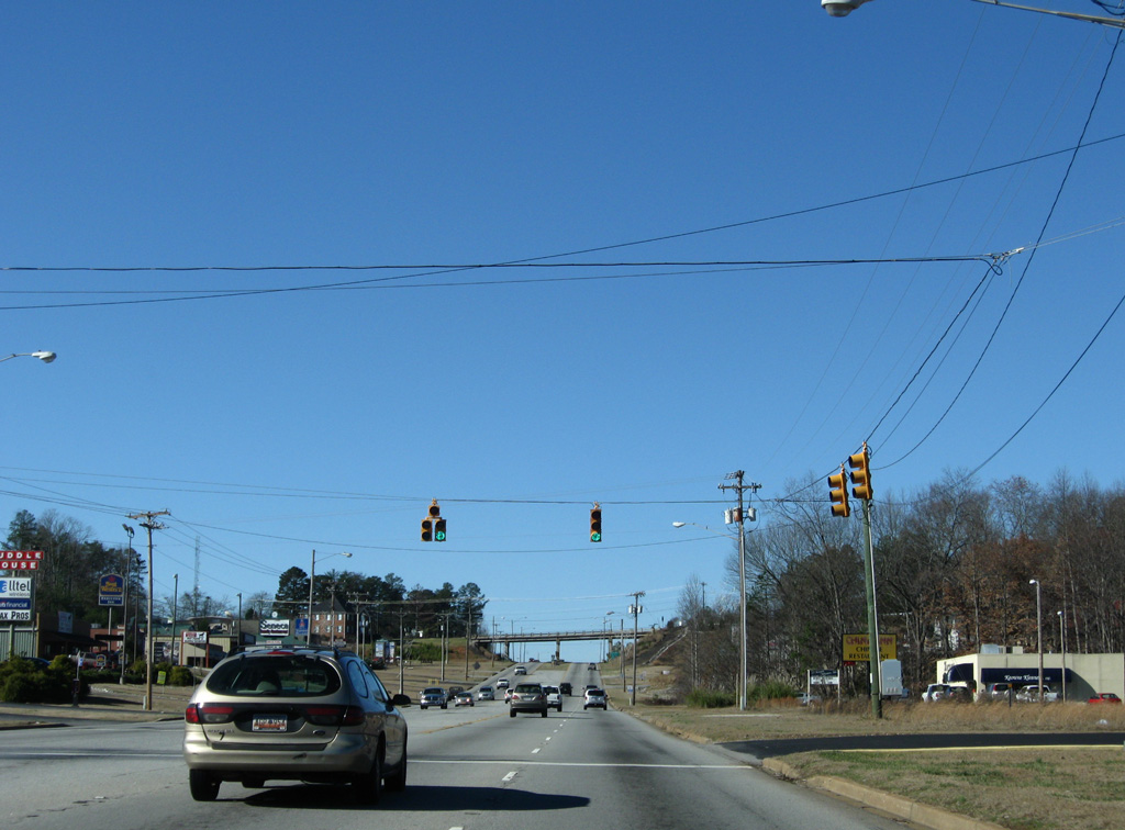
Extending north from Downtown Seneca to Northampton Road, a 1957-built overpass takes Pine Street (Road 284) above U.S. 76-123/S.C. 28.
12/31/08
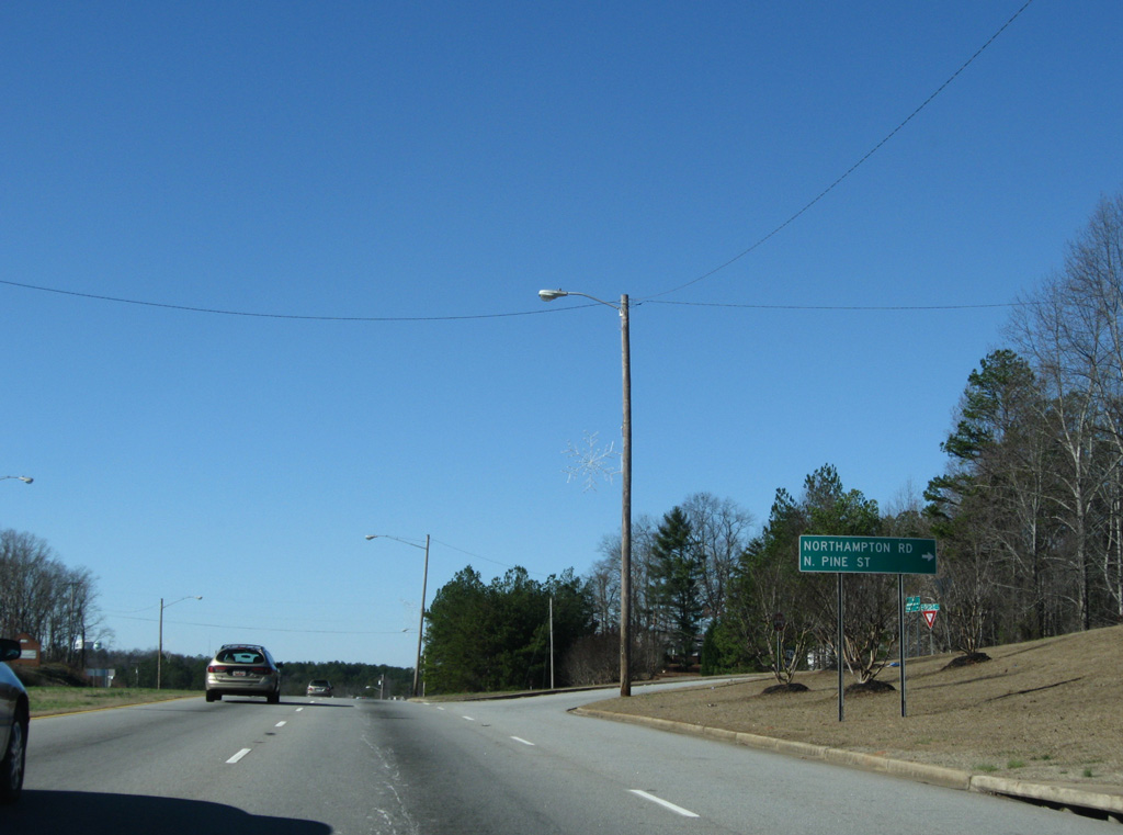
An antiquated folded diamond interchange joins the US highways with Pine Street south and Northampton Road north. Northampton Road (Road 284) spurs north onto a peninsula surrounded by Lake Keowee.
12/31/08
A number of eateries and other businesses line U.S. 76-123/S.C. 28 by the traffic light with Pine Cliff Drive (Road 578).
12/31/08
U.S. 76/123 and S.C. 28 cross a causeway over an arm of Lake Keowee ahead of the signal with Mountain View Drive north and Seneca Drive (Road 222) south.
12/31/08
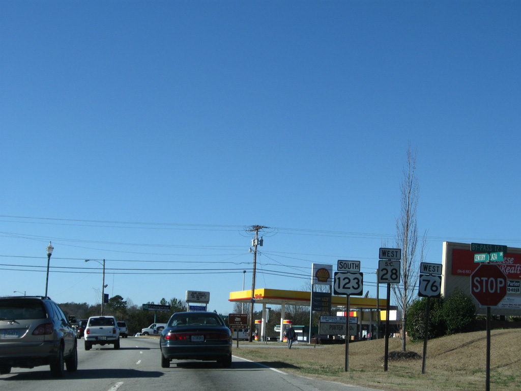
S.C. 59 leads west along North Street from Downtown Seneca to conclude at U.S. 76/123 opposite their split with S.C. 28 north.
12/31/08
Back to back signalized intersections slow traffic along U.S. 76/123 west with Frontage Road (Road 214) north and S.C. 59 south. Several big box stores populate the immediate area, adding to traffic congestion.
12/31/08
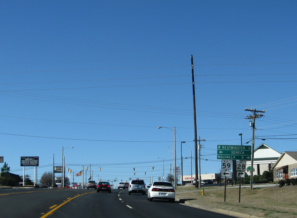
S.C. 28 (Blue Ridge Boulevard) parts ways with U.S. 76/123 to run north the county seat of Walhalla. The multi state highway enters the northeastern tip of Georgia in 23.5 miles en route to Highlands, North Carolina.
12/31/08
West South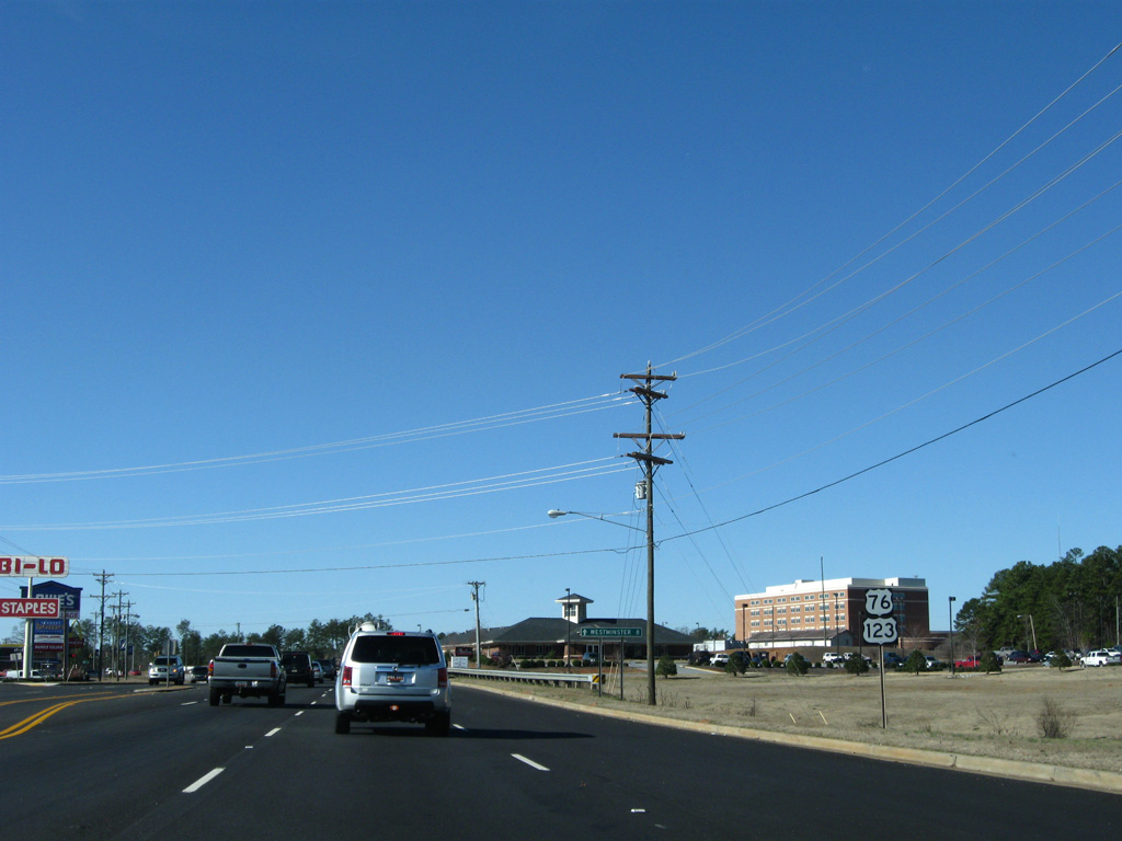
Confirming markers posted for U.S. 76 west and U.S. 123 south along Sandifer Boulevard after S.C. 28/59.
12/31/08
Wells Highway (Road 488) returns to U.S. 76/123 to opposite from Sheep Farm Road (Road 402) north at a commercialized intersection in west Seneca.
12/31/08
U.S. 76/123 south again expand into a four lane, divided highway west at the separation with Richland Road (Road 13).
12/31/08
Richland Road and Old Seneca Road (Road 13) wind 4.33 miles west through Richland and Clearmont as the original alignment of U.S. 76/123.
12/31/08
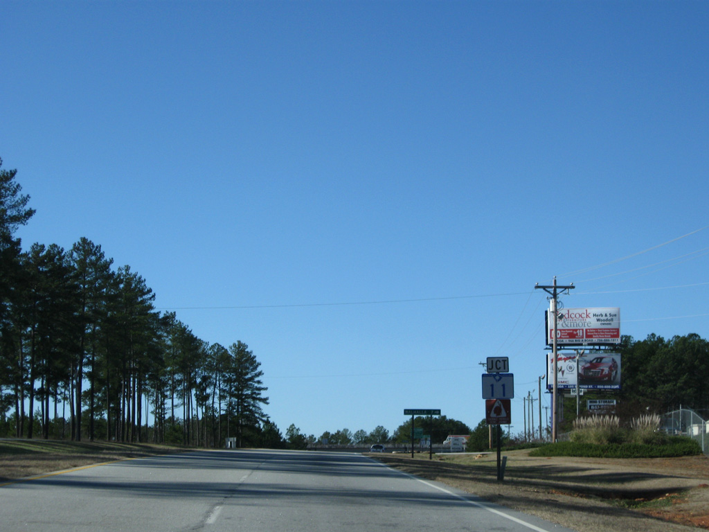
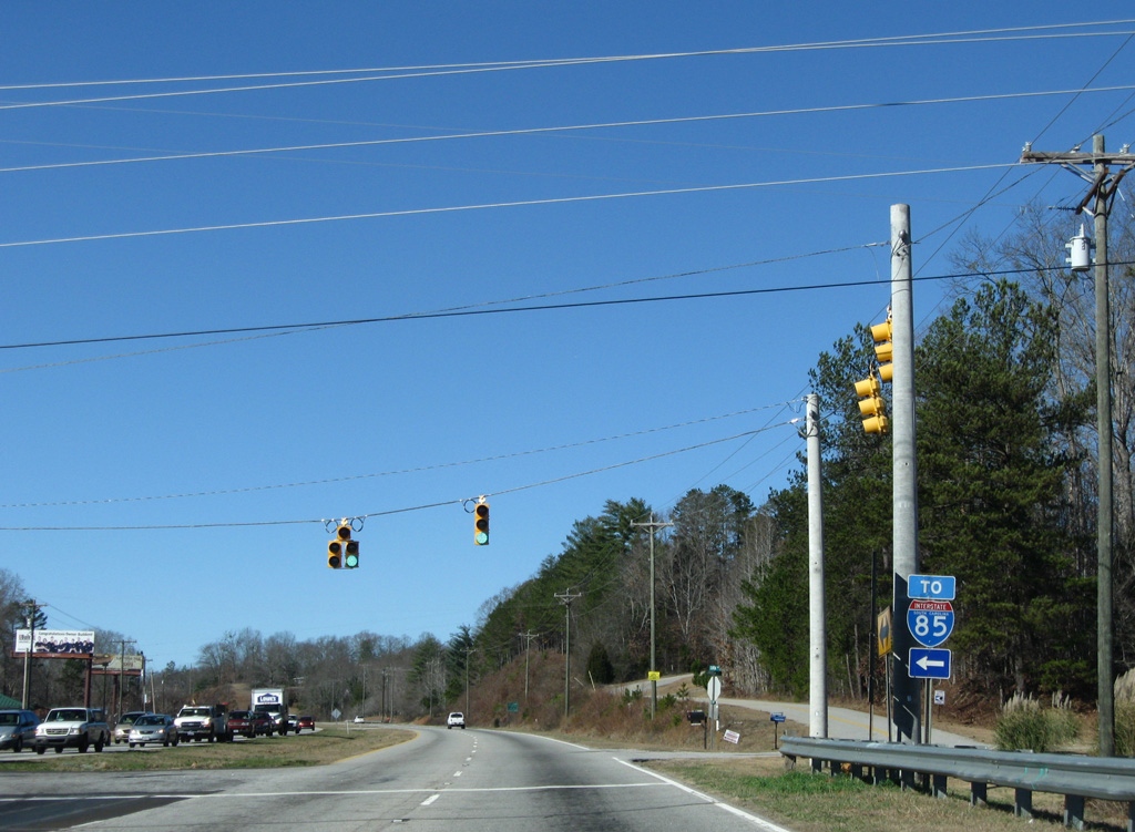
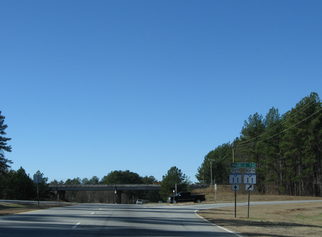
S.C. 11 (Cherokee Foothills Scenic Highway) travels 6.3 miles south from S.C. 28 near Walhalla to cross paths with U.S. 76/123 at a folded diamond interchange.
12/31/08
S.C. 11 travels west from S.C. 150 in Gaffney to I-85 at Lake Hartwell. The route doubles as the Cherokee Foothills Scenic Highway throughout its 120 mile long course.
12/31/08
Heading south from U.S. 76/123, S.C. 11 passes through an industrial park area nearby on the otherwise rural route to South Union and Interstate 85.
12/31/08
S.C. 11 concludes 13.26 miles south from the ramps with U.S. 76/123 at Interstate 85 just east of the S. Ernest Vandiver Bridge across Lake Hartwell into Georgia.
12/31/08
Advancing west along U.S. 76/123 (Sandifer Boulevard) from S.C. 11, the four lane highway passes south of Clearmont.
12/31/08
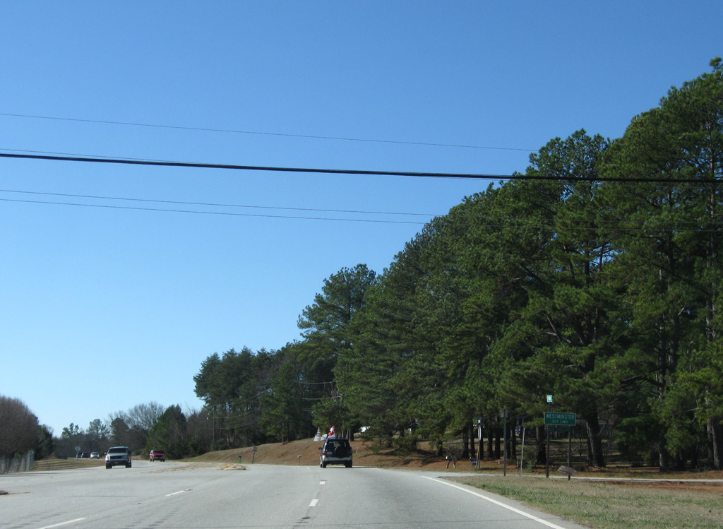
Old Seneca Road (former U.S. 76-123) converges with U.S. 76/123 just ahead of the Westminster city line.
12/31/08
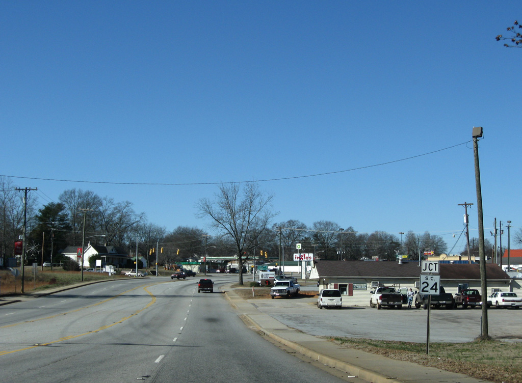
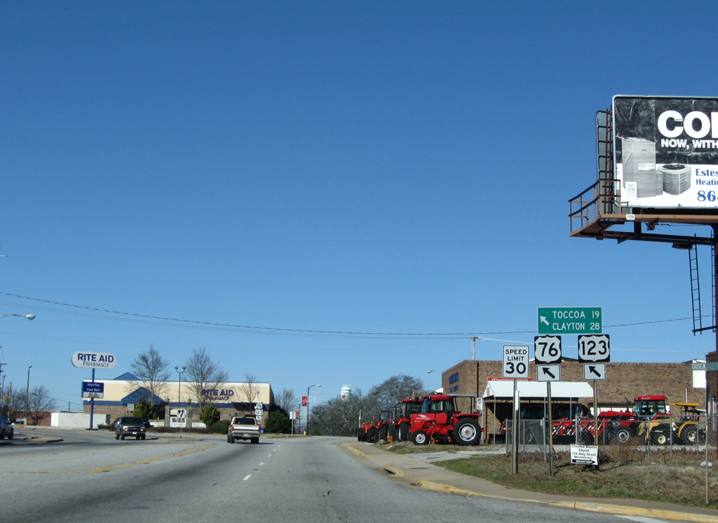
U.S. 76/123 south follow Main Street to the Westminster city center. S.C. 24 (West Oak Highway) runs 5.5 miles south to Oakway.
12/31/08
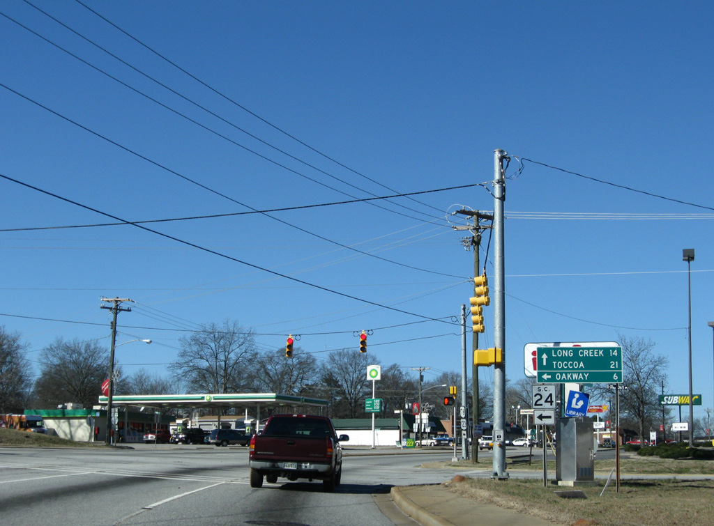
S.C. 24 ventures east from Westminster to become a part of the Savannah River Scenic Highway between S.C. 11 and S.C. 187. S.C. 24 extends 30.66 miles southeast to U.S. 76/178 in Downtown Anderson.
12/31/08
U.S. 76/123 shift off Main Street onto Windsor Street through Downtown Westminster.
12/31/08
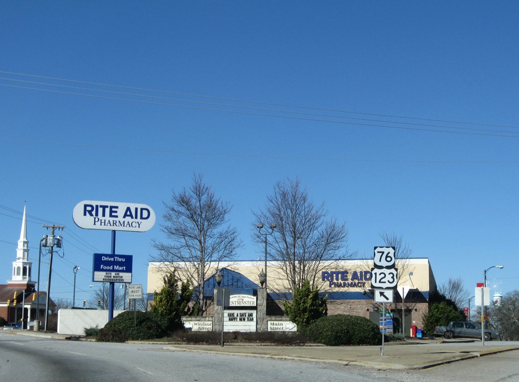
Main Street (Road 2) remains alongside Norfolk Southern Railroad tracks while U.S. 76/123 parallel along Windsor Street one block to the west.
12/31/08
U.S. 76/123 (Windsor Street) west at Lucky Street in Downtown Westminster.
12/31/08
U.S. 76/123 (Windsor Street) west at Mimosa Road (Road 273).
12/31/08

An S-curve takes U.S. 76/123 below the Norfolk Southern Railroad line to the south end of S.C. 183 (Westminster Highway).
12/31/08
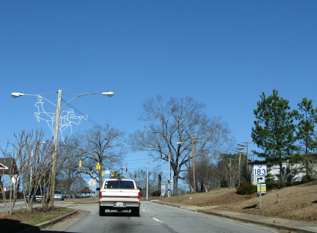
S.C. 183 leaves Westminster north along a 7.44 mile long course to S.C. 28 (Main Street) in Walhalla.
12/31/08

S.C. 183 travels 53.71 miles along a loop north to Pickens and east to U.S. 29 in Downtown Greenville.
12/31/08
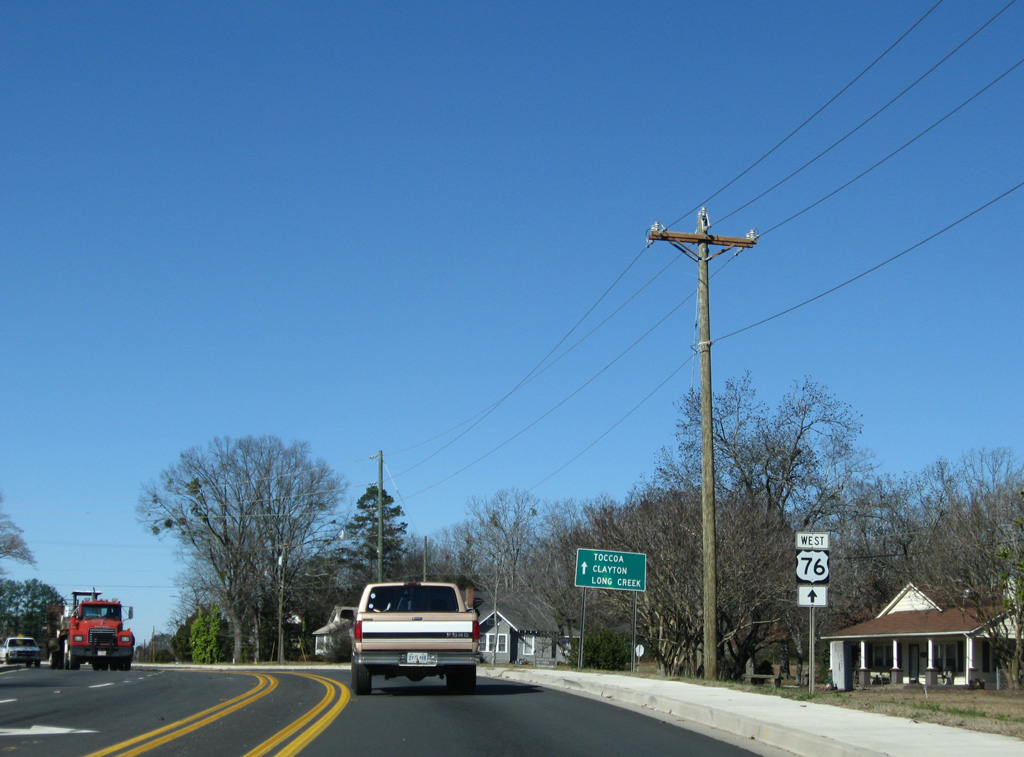
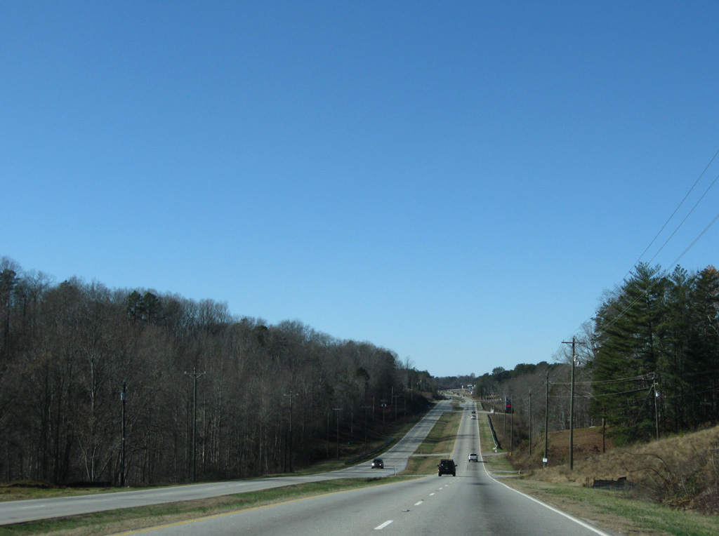
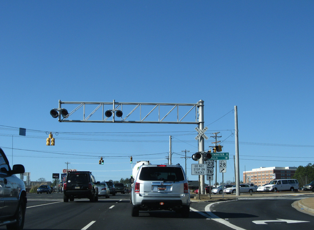
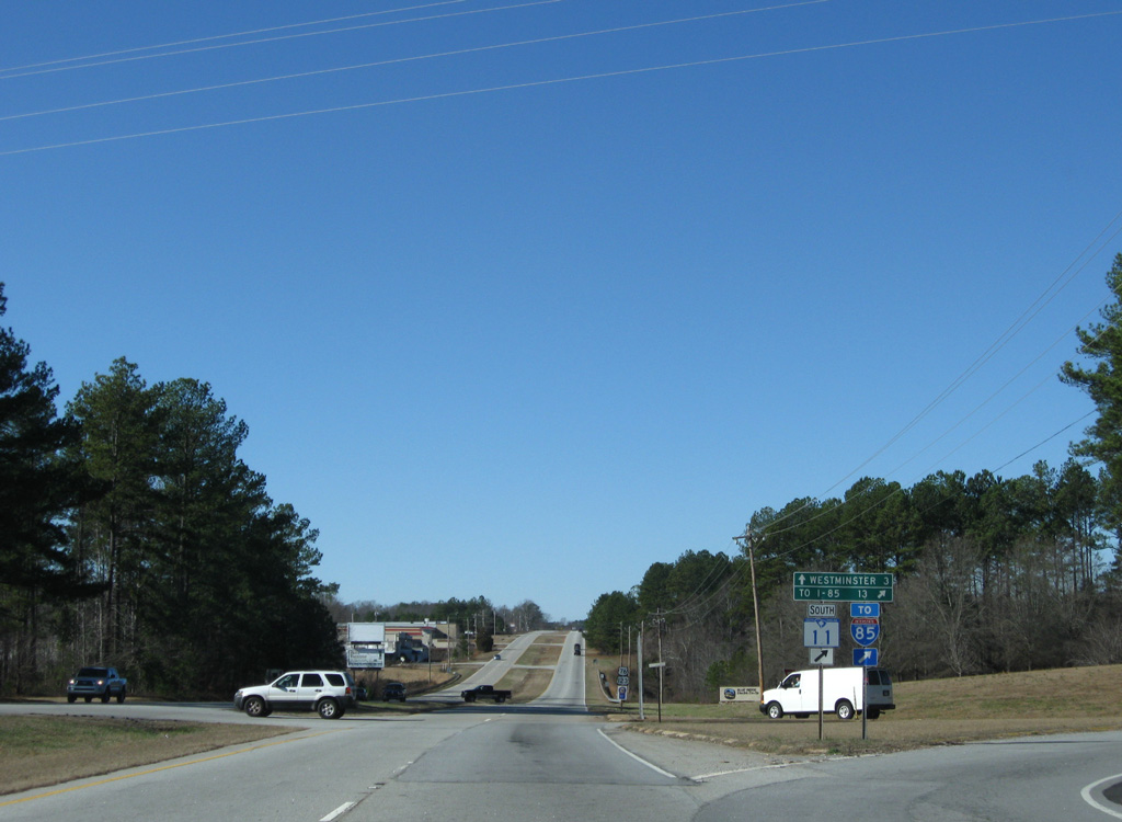
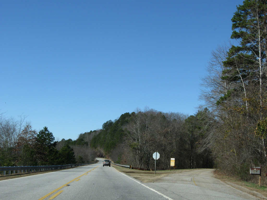
U.S. 76/123 separate 0.23 miles west of S.C. 183. U.S. 76 branches northwest 13 miles to Long Creek while traversing mountainous areas of Sumter National Forest.
12/31/08
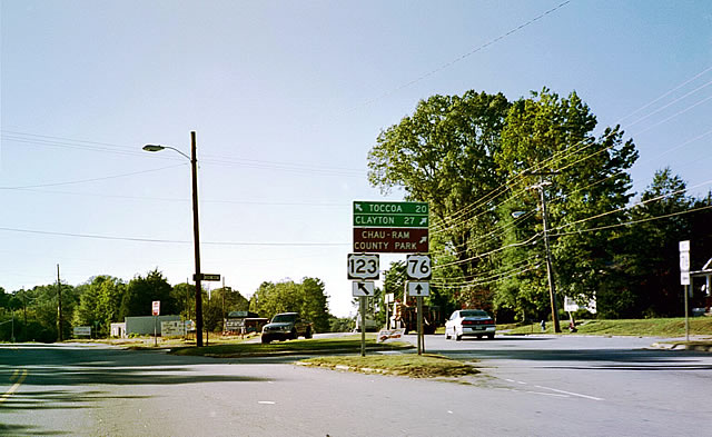
Historically, U.S. 76 west split with U.S. 123 south at a wye intersection. This was reconfigured so that the two roads meet at a 90 degree angle.
10/15/01
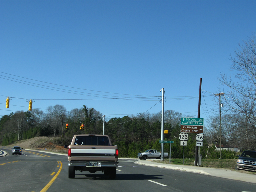
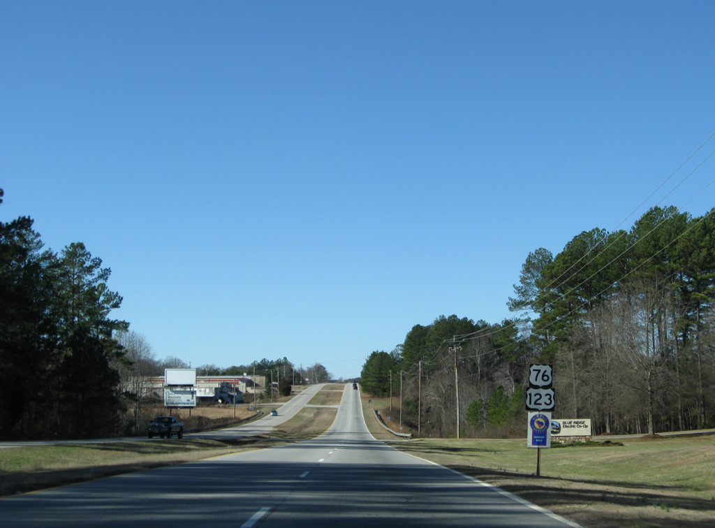
Leading away from Westminster, U.S. 76 and U.S. 123 both reduce to two lane rural routes to the Georgia state line. Toccoa lies another 20 miles to the west along U.S. 123 while U.S. 76 reaches Clayton in 27 miles.
12/31/08
South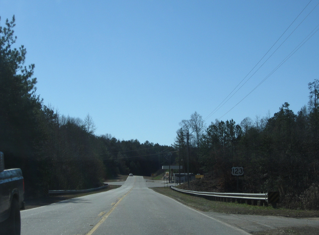
U.S. 123 (Toccoa Highway) west at Jenkins Bridge Road.
12/31/08
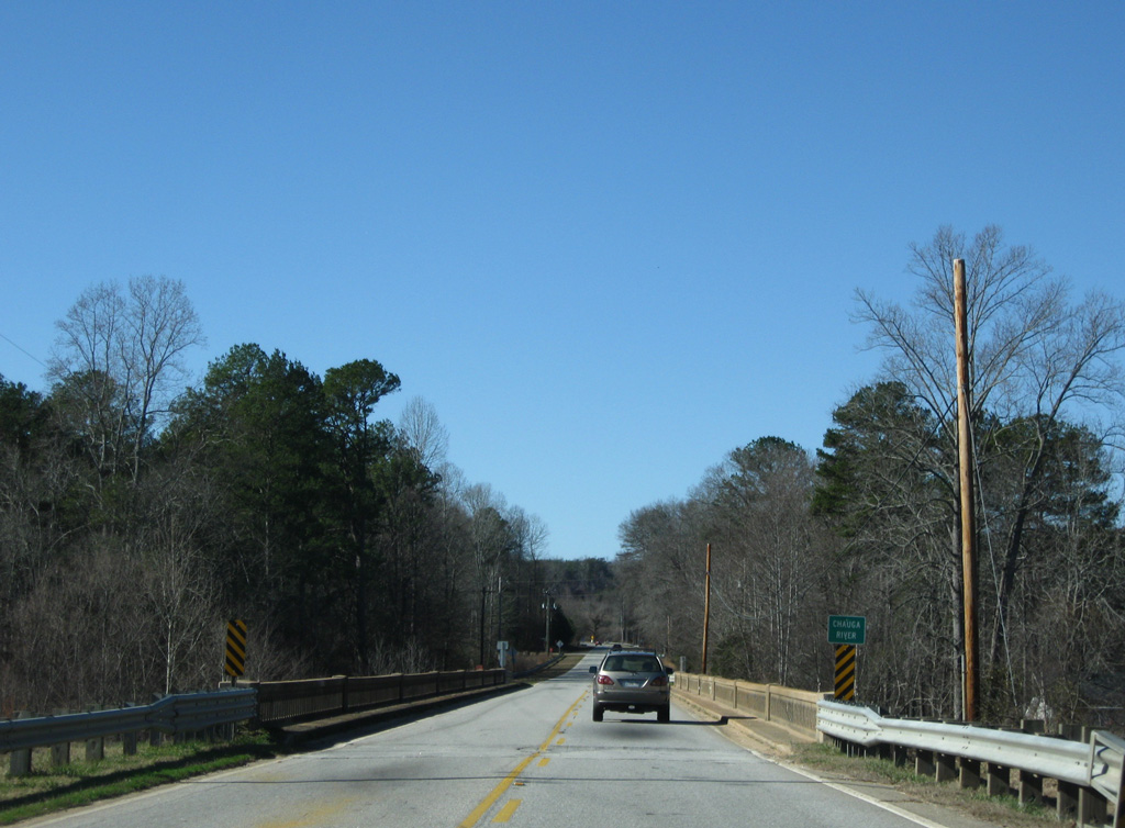
U.S. 123 arcs west through Dixon Crossroads to span the Chauga River, which feeds the Lake Hartwell reservoir from Chattooga Ridge.
12/31/08
Traveling westward, U.S. 123 straddles northern reaches of Lake Hartwell from Old Madison to the state line.
12/31/08
Garland Drive spurs west from U.S. 123 (Toccoa Highway) as a former alignment of the US highway at Lake Hartwell.
12/31/08
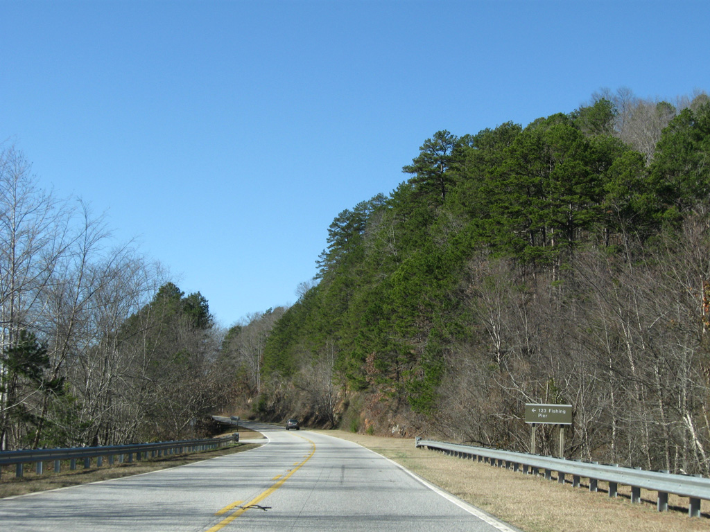
Another section of old U.S. 123 remains in use as an access road to the 123 Fishing Pier. The pier consists of the severed truss bridge that once carried U.S. 123 across the Tugaloo River.
12/31/08
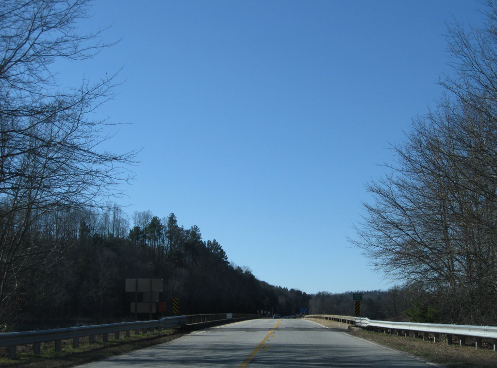
A causeway leads U.S. 123 southwest to a nondescript bridges across the Tugaloo River (Lake Hartwell). U.S. 123 enters Stephens County, Georgia midway across the span.
12/31/08
A long term drought in 2008 reduced the waters of Lake Hartwell to just the original width of the Tugaloo River. The reservoir was formed with construction of Hartwell Dam between 1955 and 1959.
12/31/08
Photo Credits:
- Carter Buchanan: 08/19/00, 04/12/14
- ABRoads: 12/31/08
- AARoads: 10/15/01
Connect with:
Page Updated Saturday September 18, 2021.