
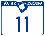
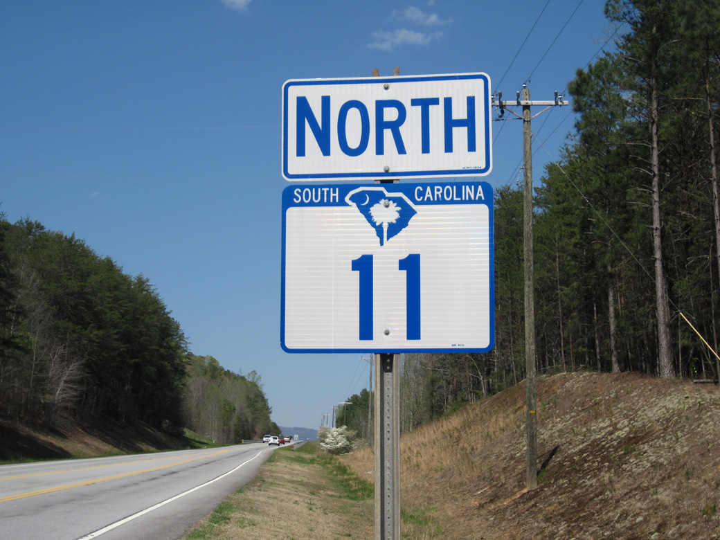
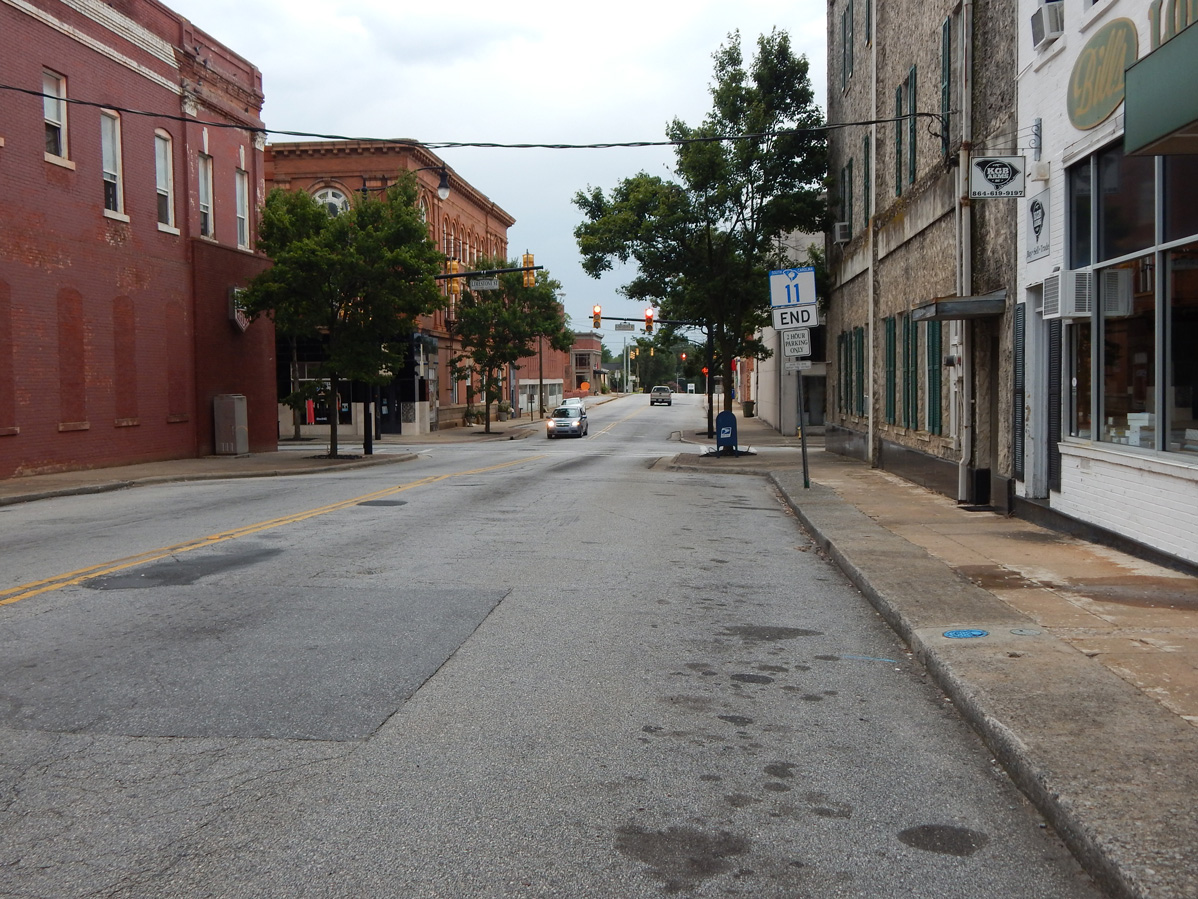
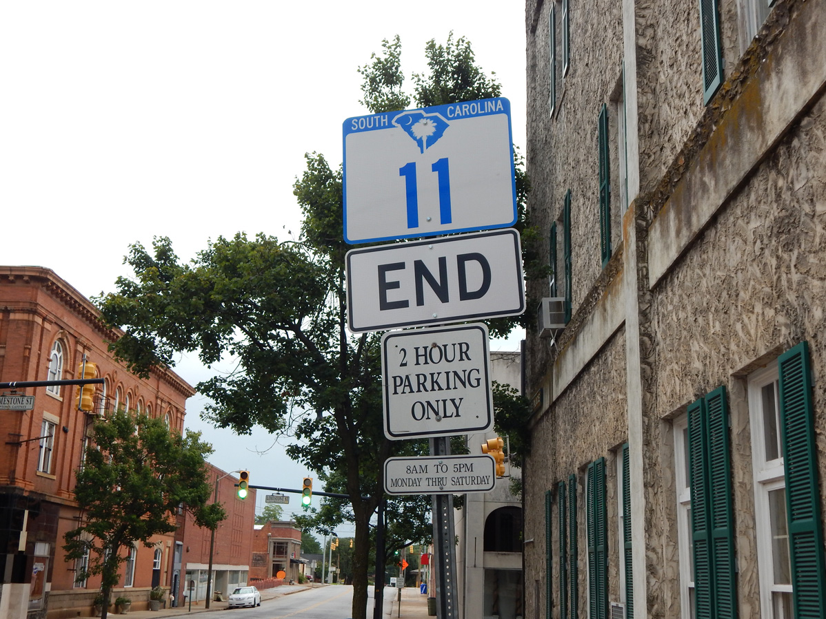
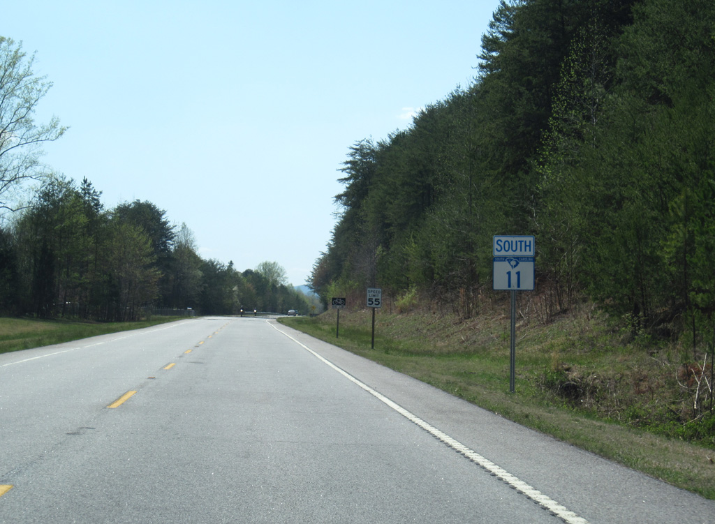
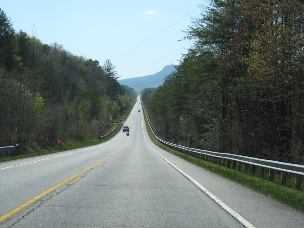
Highway 11
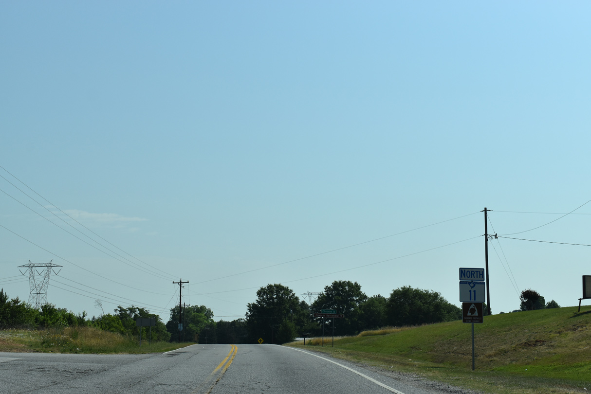
Highway 11 runs across the Upstate of South Carolina from Interstate 85 at Lake Hartwell north and east to S.C. 18/150 in Downtown Gaffney. The entire 119.85 mile long route of S.C. 11 is the Cherokee Foothills Scenic Highway. The Byway connects areas highways with a number of natural attractions and historical sites.
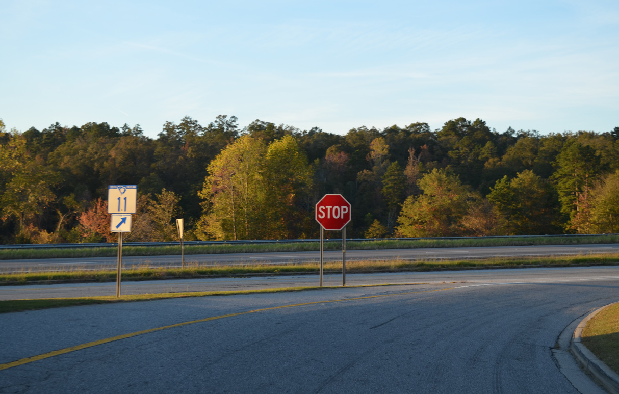
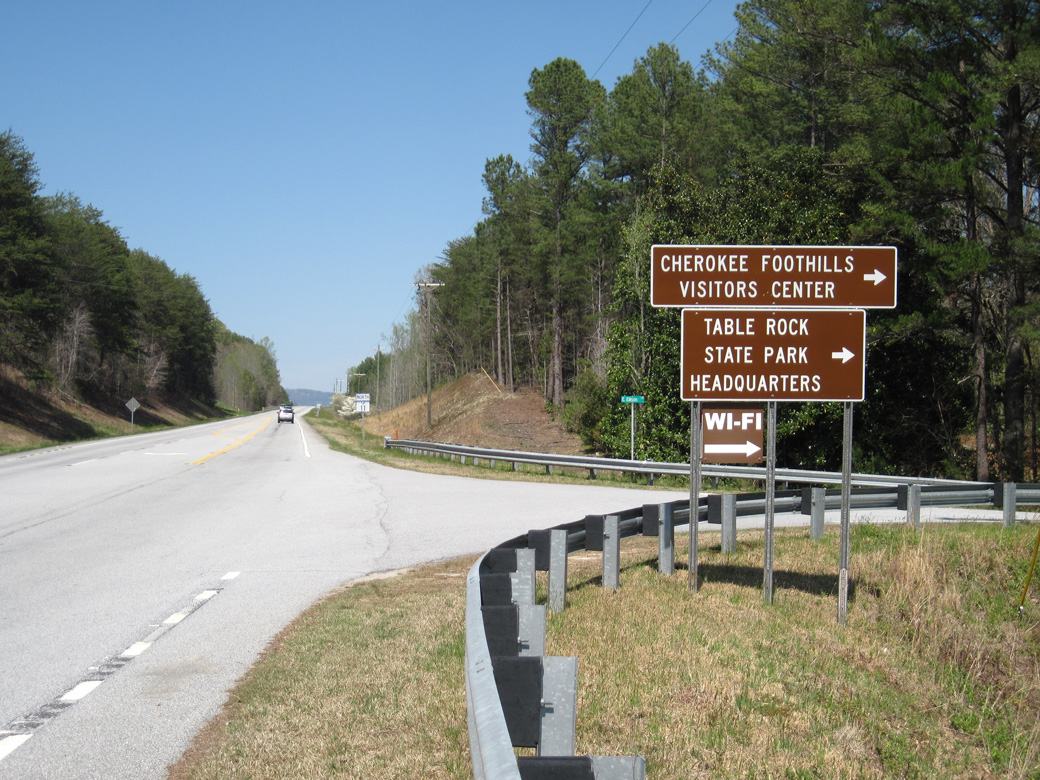
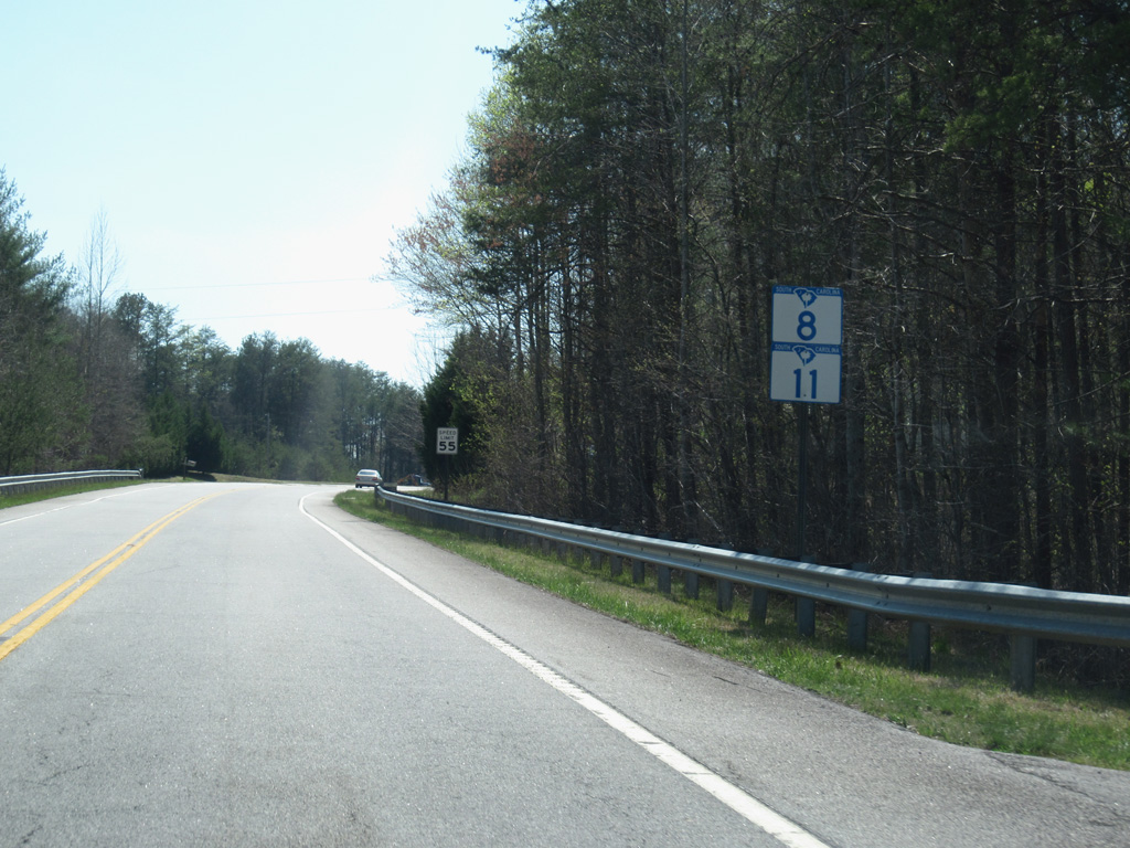
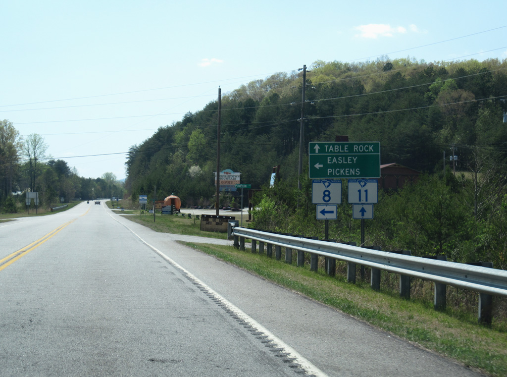
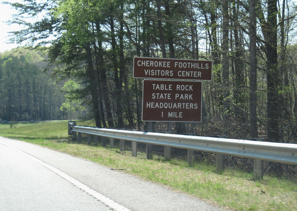
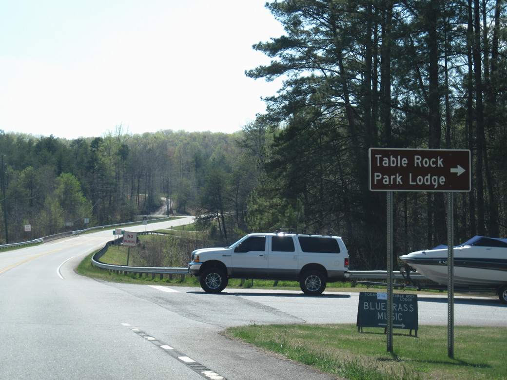
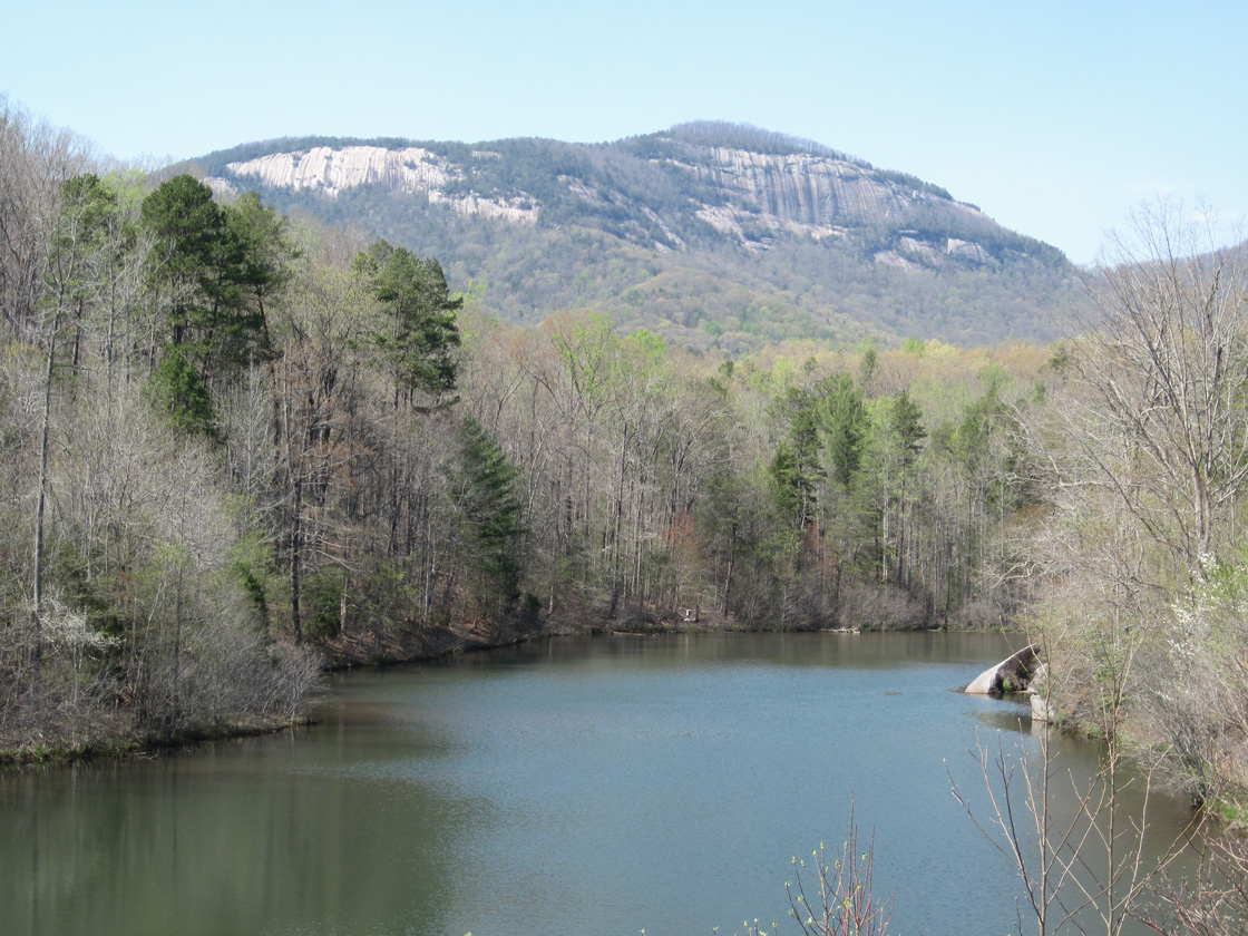
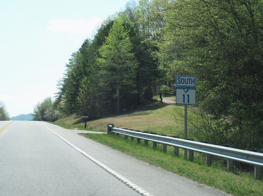
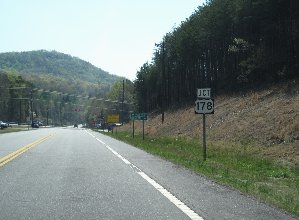
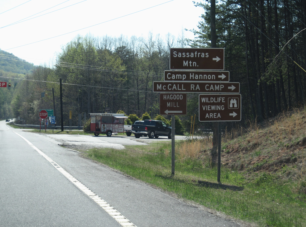
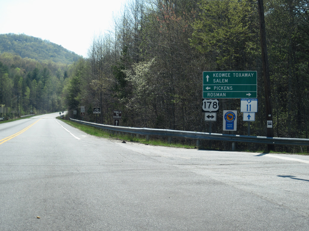
S.C. 11 initially heads north from I-85 near the Georgia state line to West Union by Walhalla in Oconee County. Crossing Lake Keowee into Pickens County, Highway 11 continues east to Keowee-Toxaway State Park, U.S. 178 north of Mosley Mountain and Table Rock State Park. Entering Greenville County, S.C. 11 overlaps with U.S. 276 for 5.75 miles from south of Caesars Head to Cleveland.
East from Cleveland, S.C. 11 meets U.S. 25 at Lima before crossing areas of Poinsett Bridge Heritage Preserve. Passing south of Glassy Mountain, the state highway proceeds east to Gowensville and the Spartanburg County line. S.C. 11 meets U.S. 176 in the town of Campobello and I-26 north of Lake William C. Bowen.
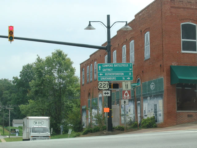
Within the town of Chesnee, S.C. 11 combines with U.S. 221 ALT along Cherokee Street. The two overlap east 2.32 miles to S.C. 110 in Cherokee County. U.S. 221 ALT turns north to Forest City, North Carolina while S.C. 11 (Chesnee Highway) continues east alongside Cownpens National Battlefield toward Thicketty Mountain. Floyd Baker Boulevard leads S.C. 11 southeast from Interstate 85 to Frederick Street in the Gaffney street grid.
10/22/15
04/12/14
04/12/14
05/26/21
08/29/04
08/07/16
08/07/16
04/12/14
04/12/14
04/12/14
04/12/14
04/12/14
04/12/14
04/12/14
04/12/14
04/12/14
04/12/14

04/12/14
04/12/14
04/12/14
Photo Credits:
- Alex Nitzman: 10/22/15
- Carter Buchanan: 08/29/04, 04/12/14, 08/07/16
- Brent Ivy: 05/26/21
Connect with:
Page Updated Tuesday September 21, 2021.