
U.S. 136

U.S. 136 travels across northern Missouri from the Missouri River west of Phelps City to the Des Moines River near Alexandria. The 257.46 mile course joins the seats of every county U.S. 136 passes through: Rockport, Maryville, Albany, Bethany, Princeton, Unionville, Lancaster, Memphis and Kahoka.
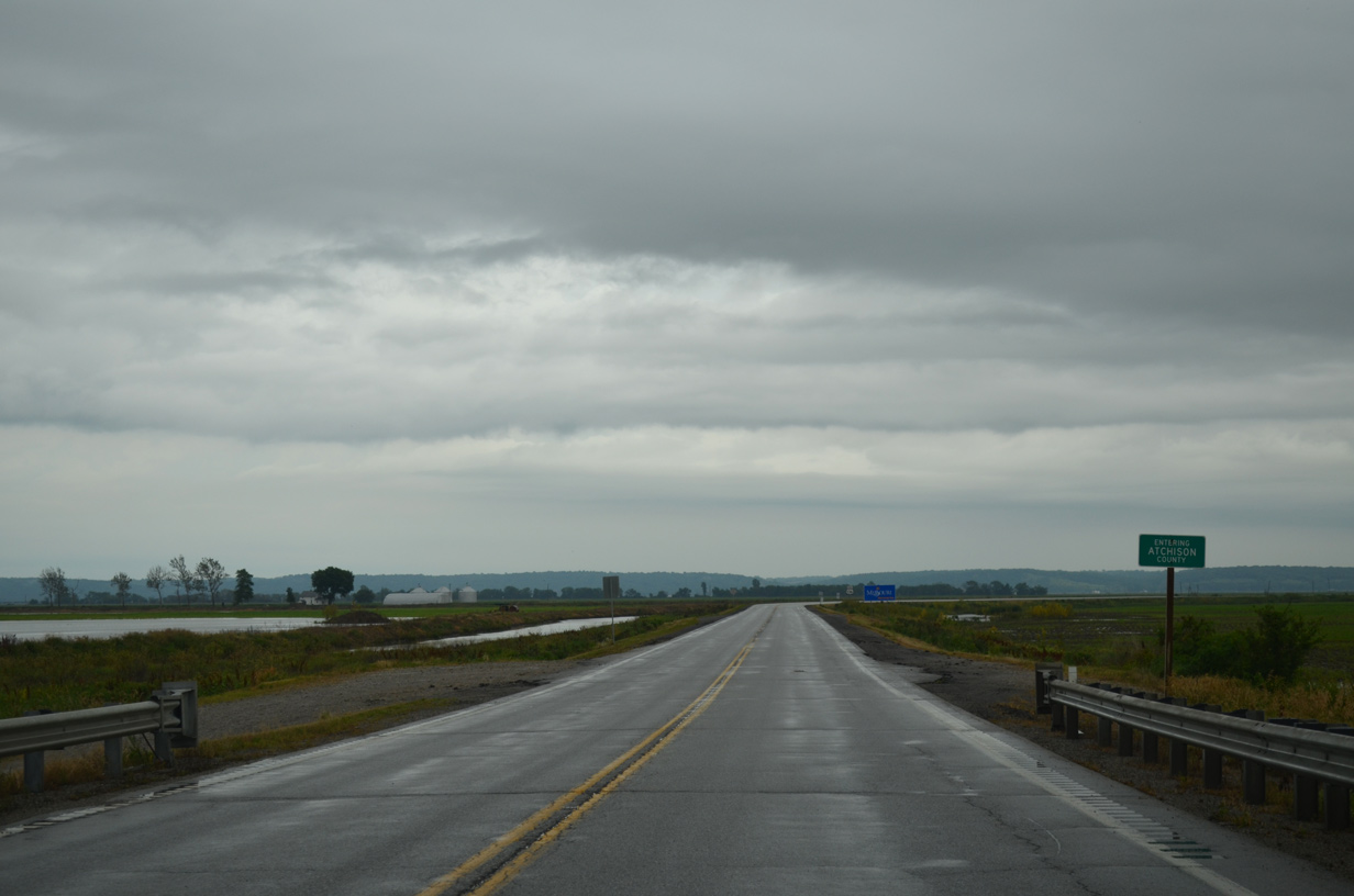
U.S. 136 east lowers from the Brownville Bridge onto the Missouri River flood plain in Templeton Township.
06/18/15
The westernmost 26.87 miles of U.S. 136 fall within Atchison County.
06/18/15
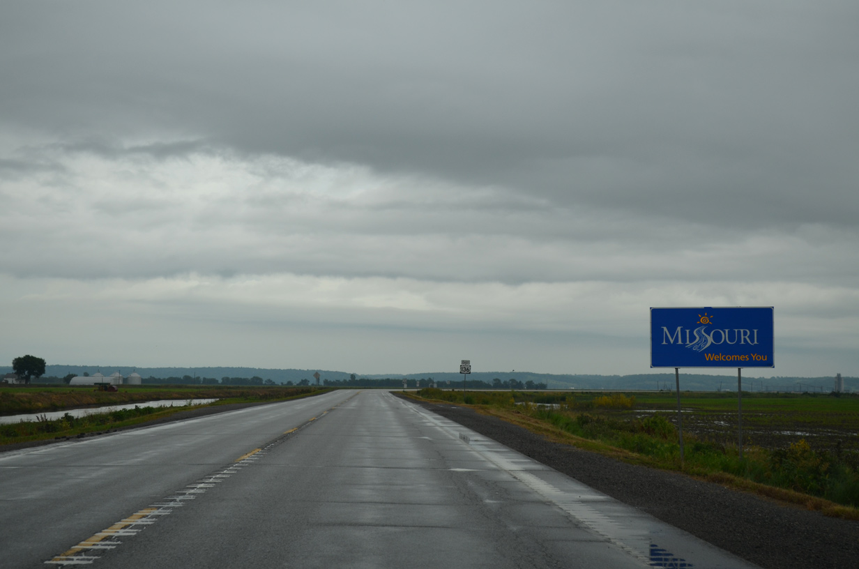
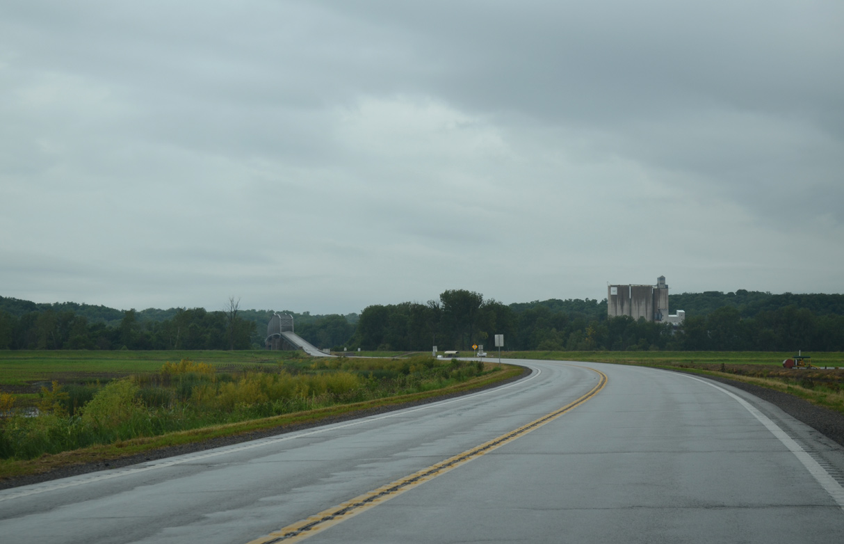
U.S. 136 curves east beyond the Missouri welcome sign to cross State Line Slough.
06/18/15
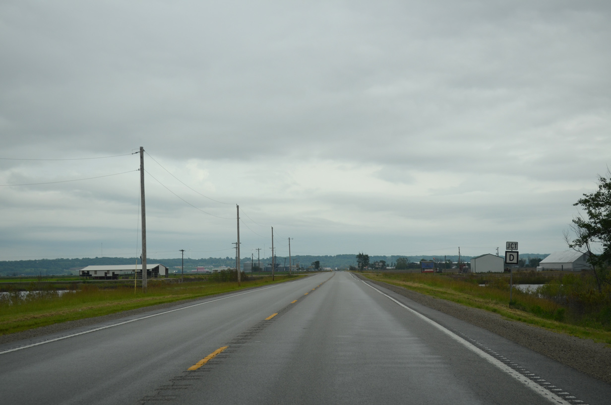
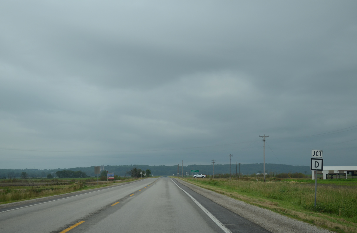
Route D leads due north 5.04 miles from U.S. 136 to Route A near the city of Watson.
06/18/15
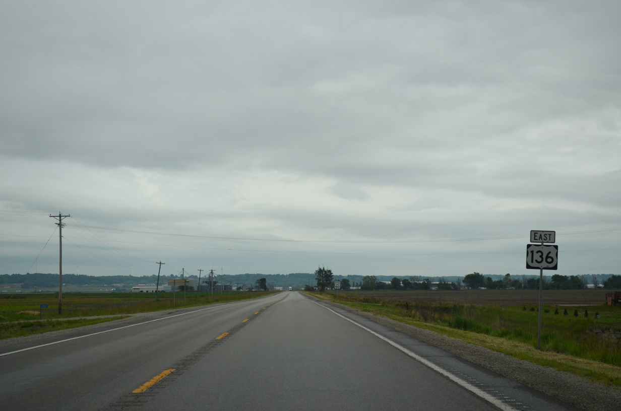
Continuing east from Route D, U.S. 136 approaches Phelps City.
06/18/15
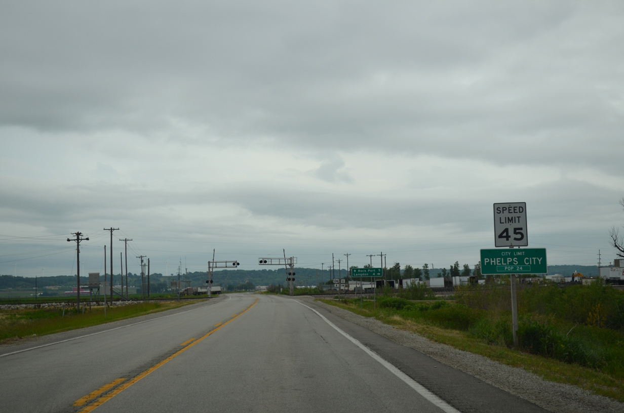
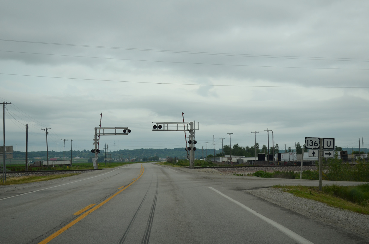
Phelps City along the Burlington Northern Railroad at U.S. 136.
06/18/15
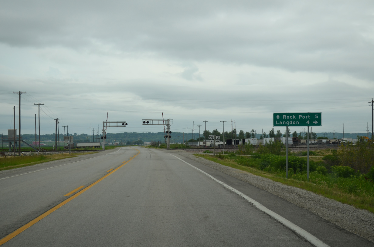
Route U (West Street) stems four miles south from U.S. 136 to Langdon and 7.63 miles overall.
06/18/15
Confirming marker posted eastbound at E Avenue in Phelps City.
06/18/15
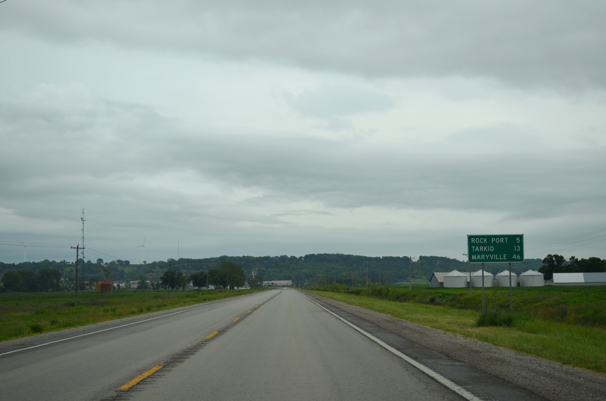
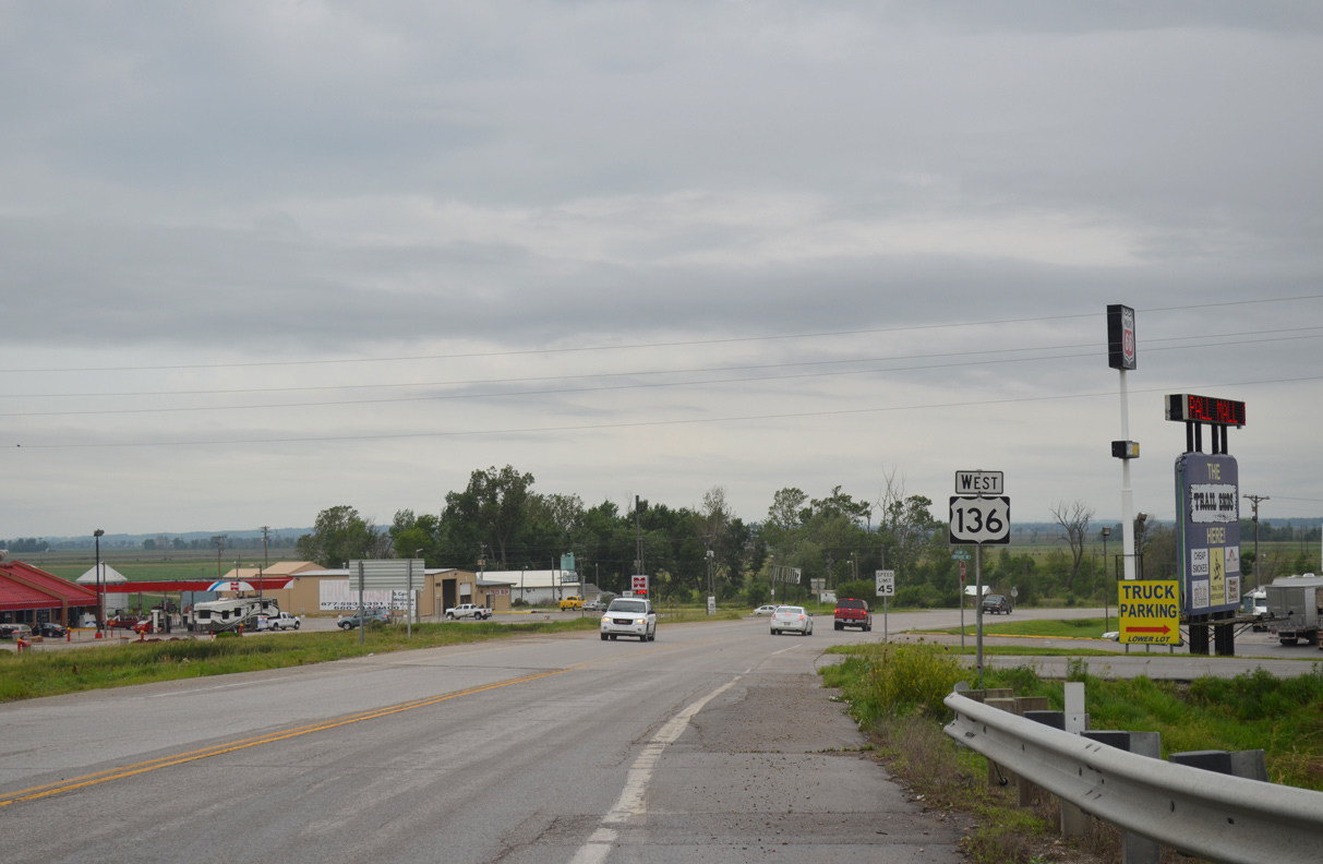
The city center of Rock Port is five miles east of Phelps City. Tarkio, where U.S. 136 combines with U.S. 59, is 13 miles away.
06/18/15
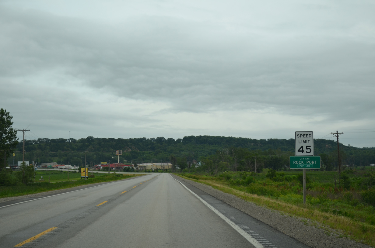
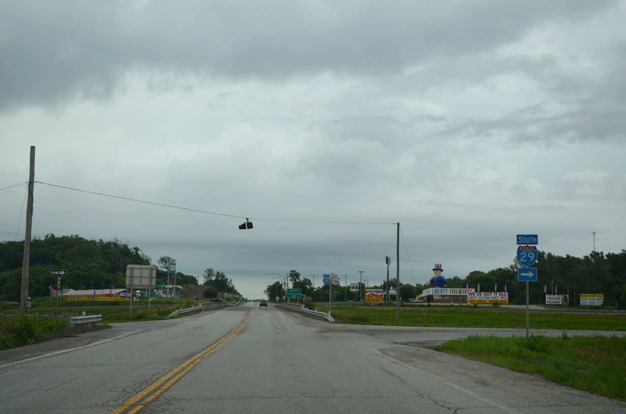
The city limits of Rock Port extend west beyond the interchange joining I-29 with U.S. 136.
06/18/15
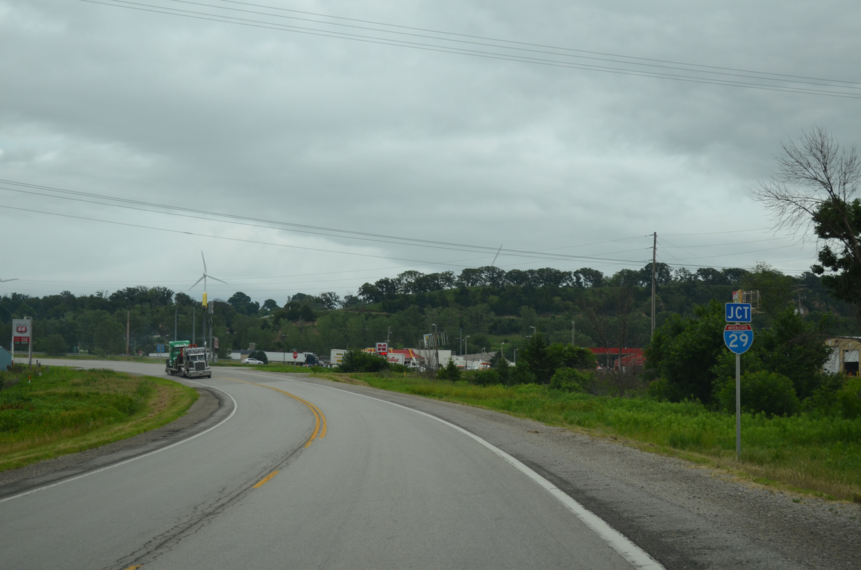
U.S. 136 angles northeast toward Interstate 29 and the Missouri River bluff line.
06/18/15
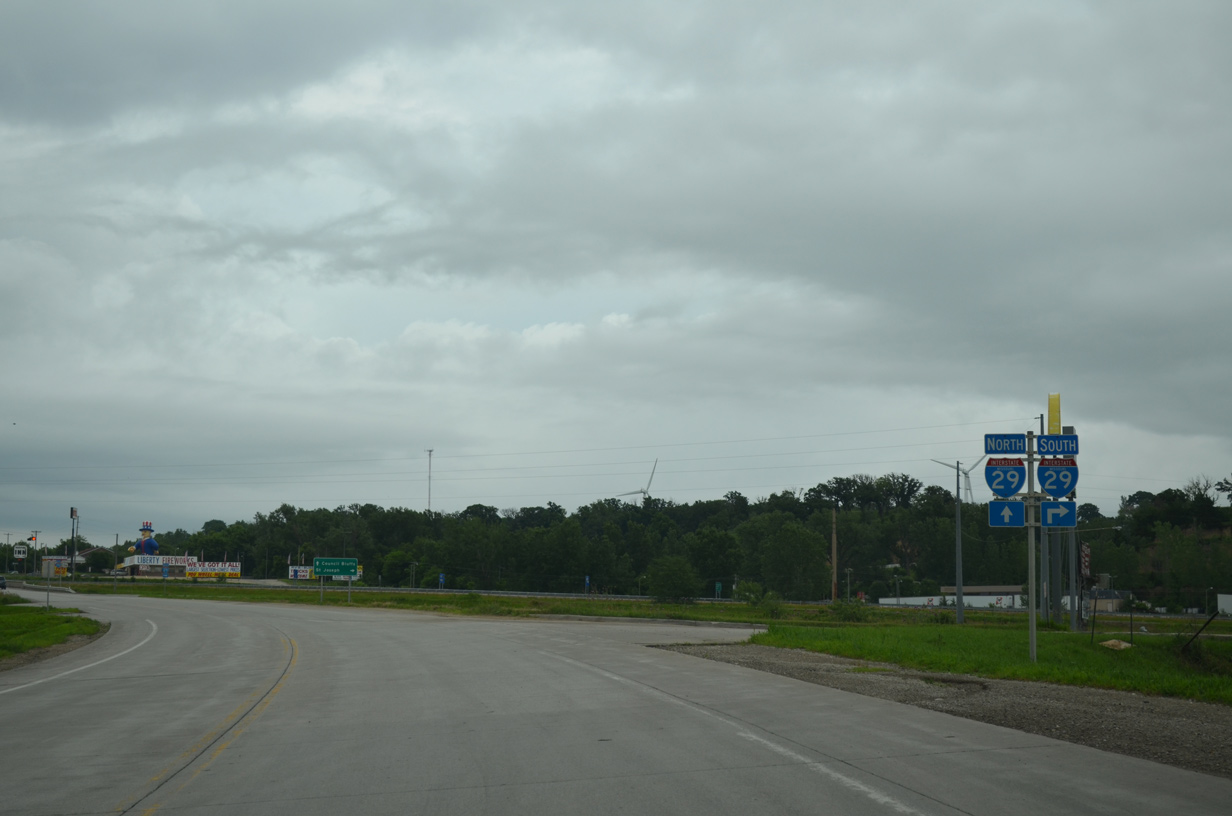
Interstate 29 straddles the bluff line south from Fremont County, Iowa to Mound City.
06/18/15
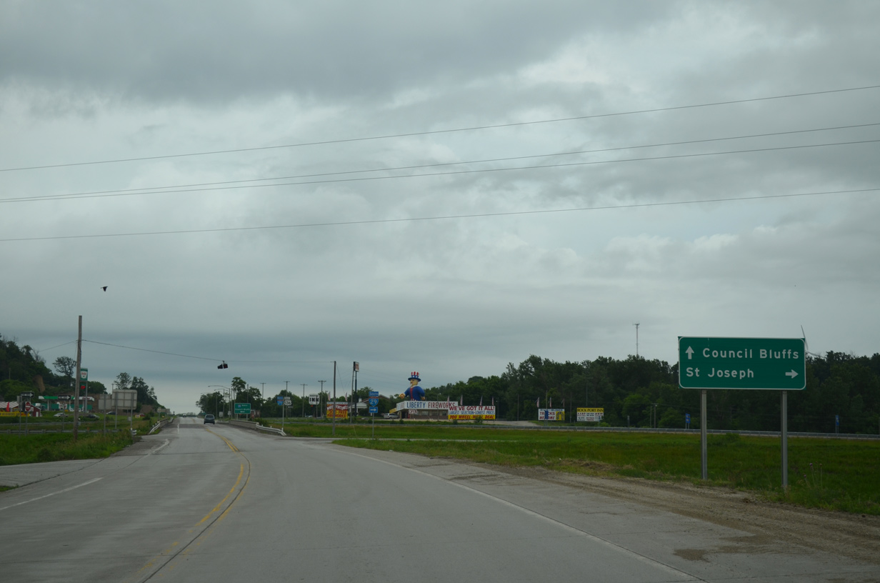
Interstate 29 joins St. Joseph and Kansas City to the south with Council Bluffs, Iowa and Omaha, Nebraska to the north.
06/18/15
Leading away from Interstate 29 and the city of Rock Port along U.S. 136 west.
06/18/15
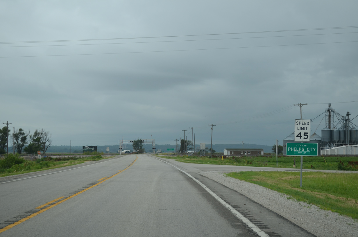
U.S. 136 enters the community of Phelps City midway between I-29 and the Missouri River.
06/18/15
The north end of Route U ties into U.S. 136 at Phelps City, four miles from Langdon,
06/18/15
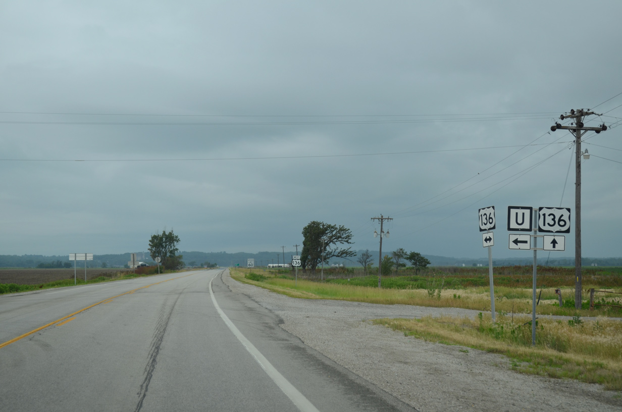
Route U spurs 7.63 miles south through agricultural areas to County Road 280 in Benton Township.
06/18/15
Confirming marker posted west of Route U in Phelps City.
06/18/15
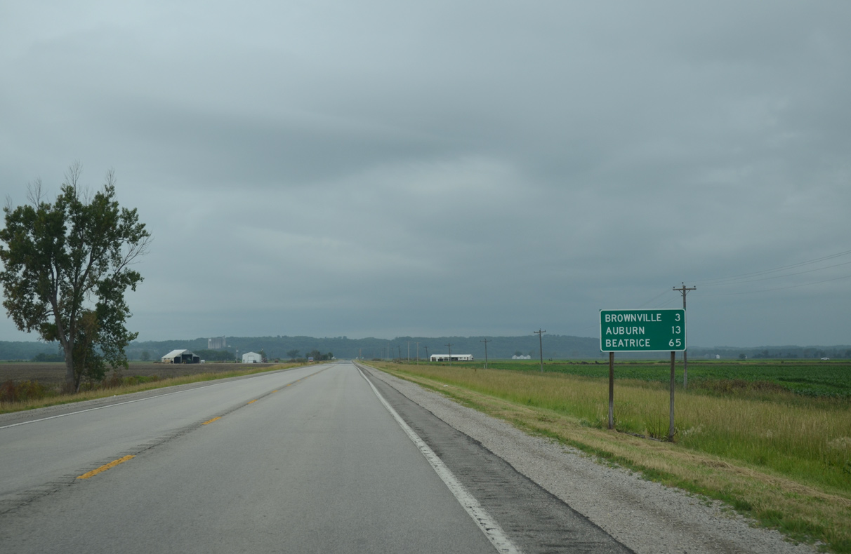
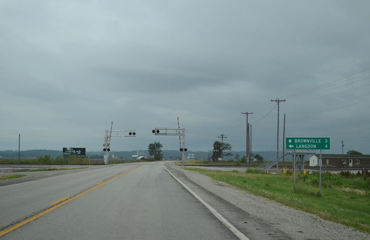
The village of Brownville, Nebraska lies three miles west of Phelps City along U.S. 136. Auburn and the crossroads with U.S. 75 is another ten miles.
06/18/15
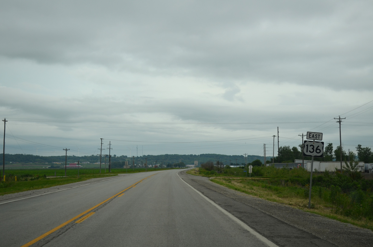
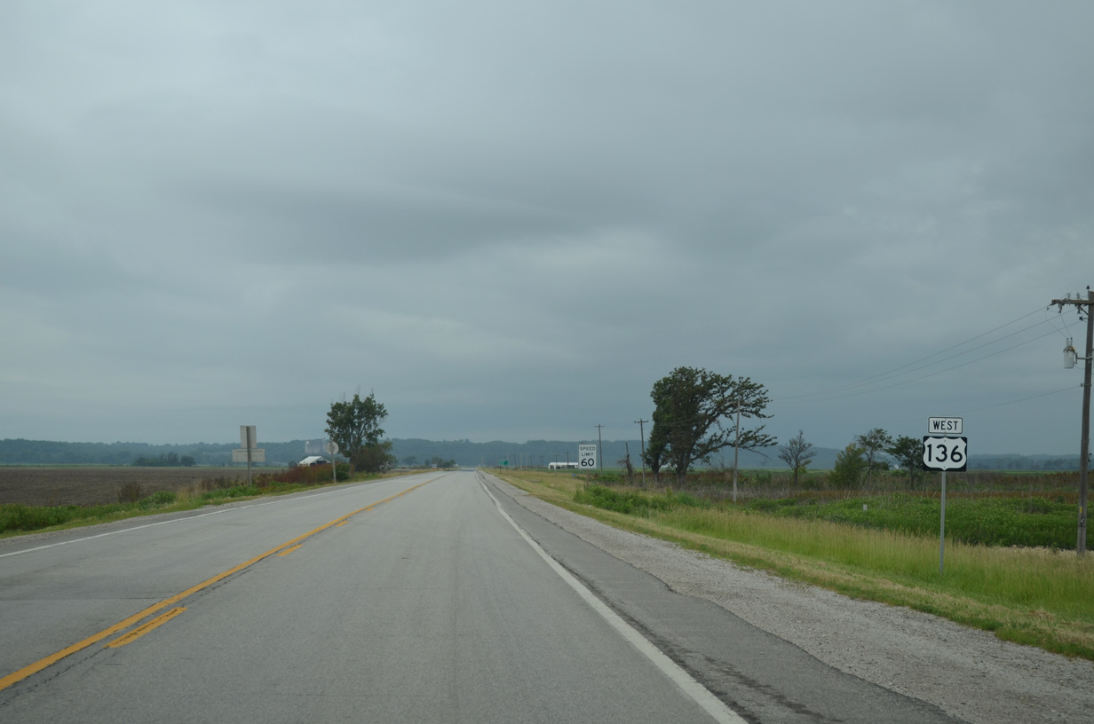
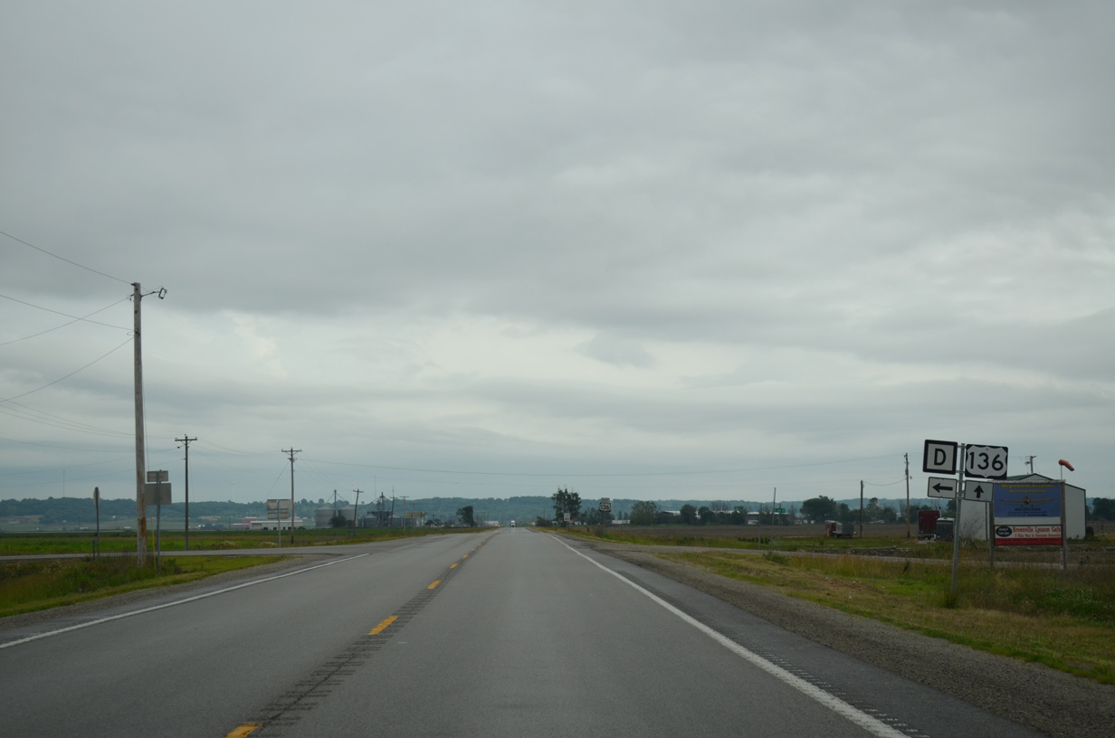
U.S. 136 next intersects the south end of Route D.
06/18/15
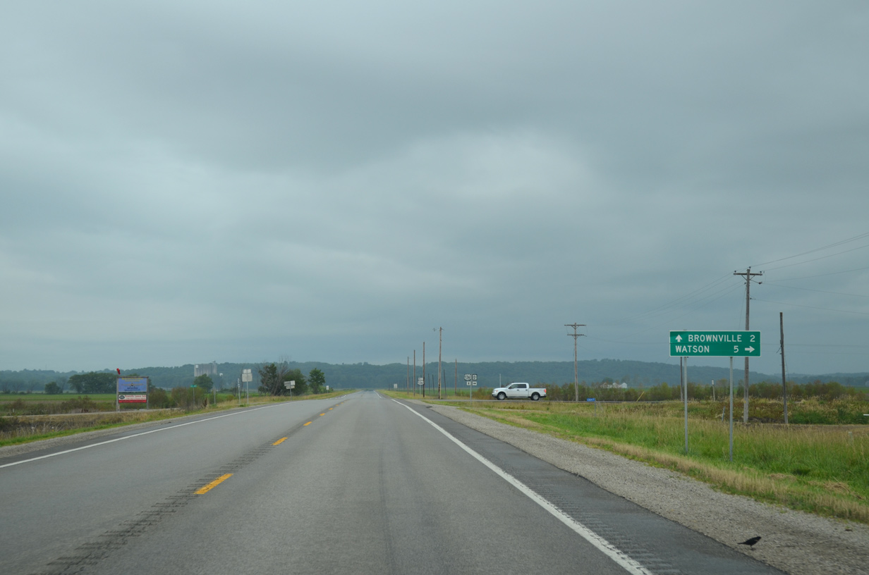
Route D constitutes a 5.04 mile highway north to Route A near the village of Watson.
06/18/15
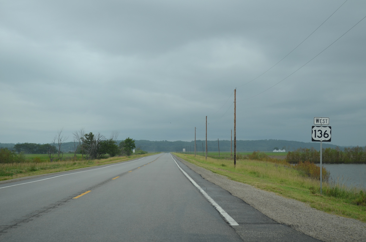
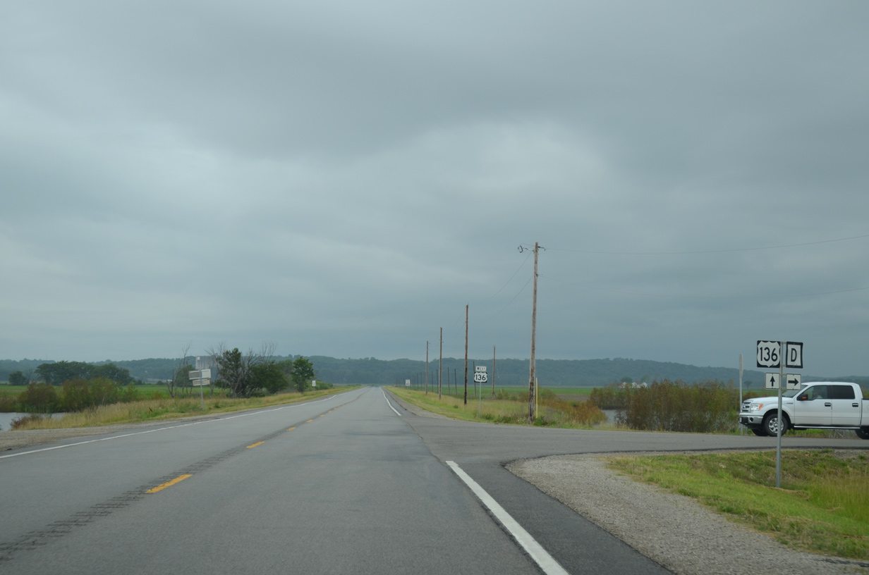
Advancing west from Route D, U.S. 136 crosses State Line Slough.
06/18/15
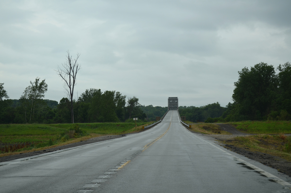
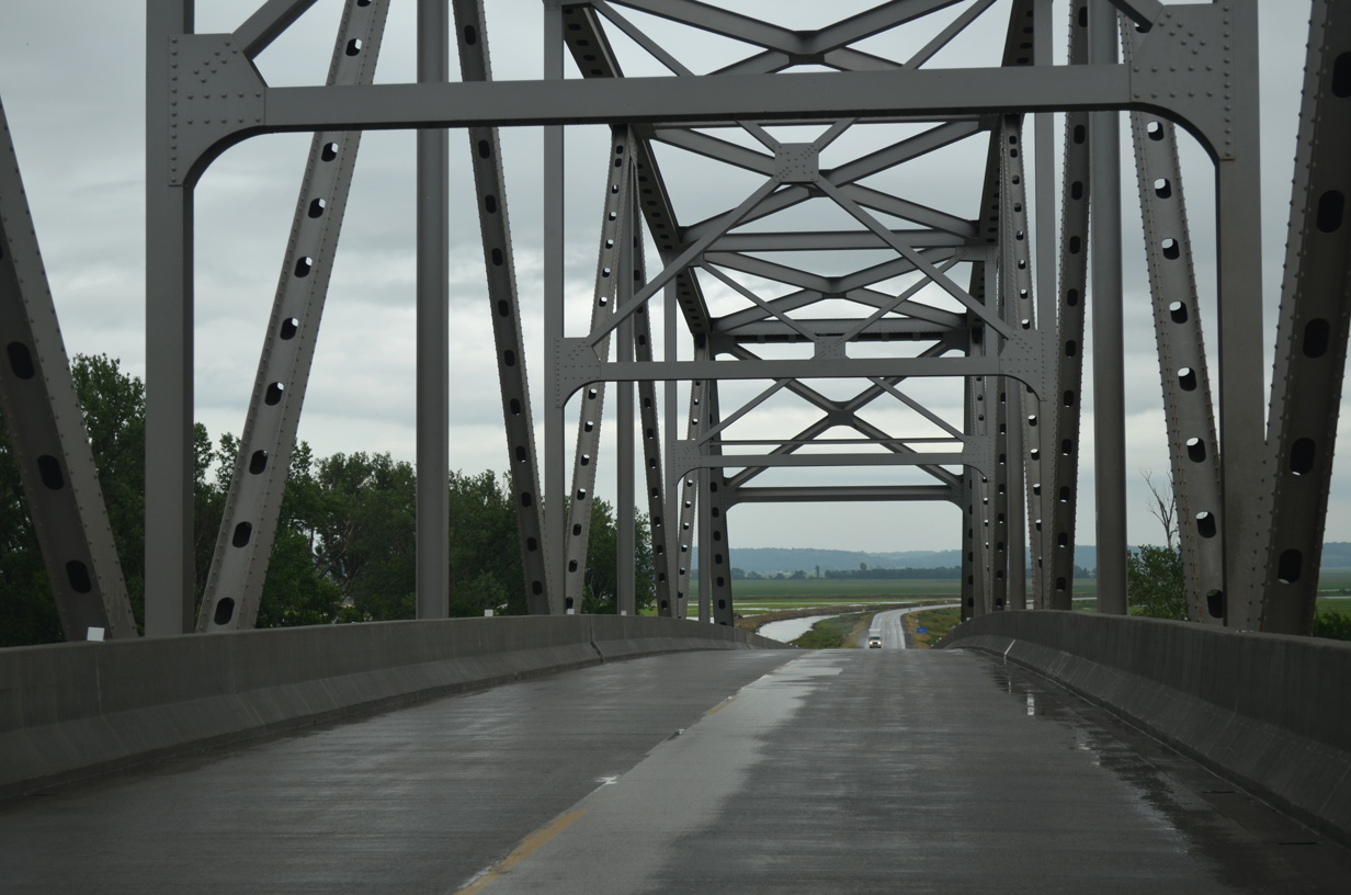
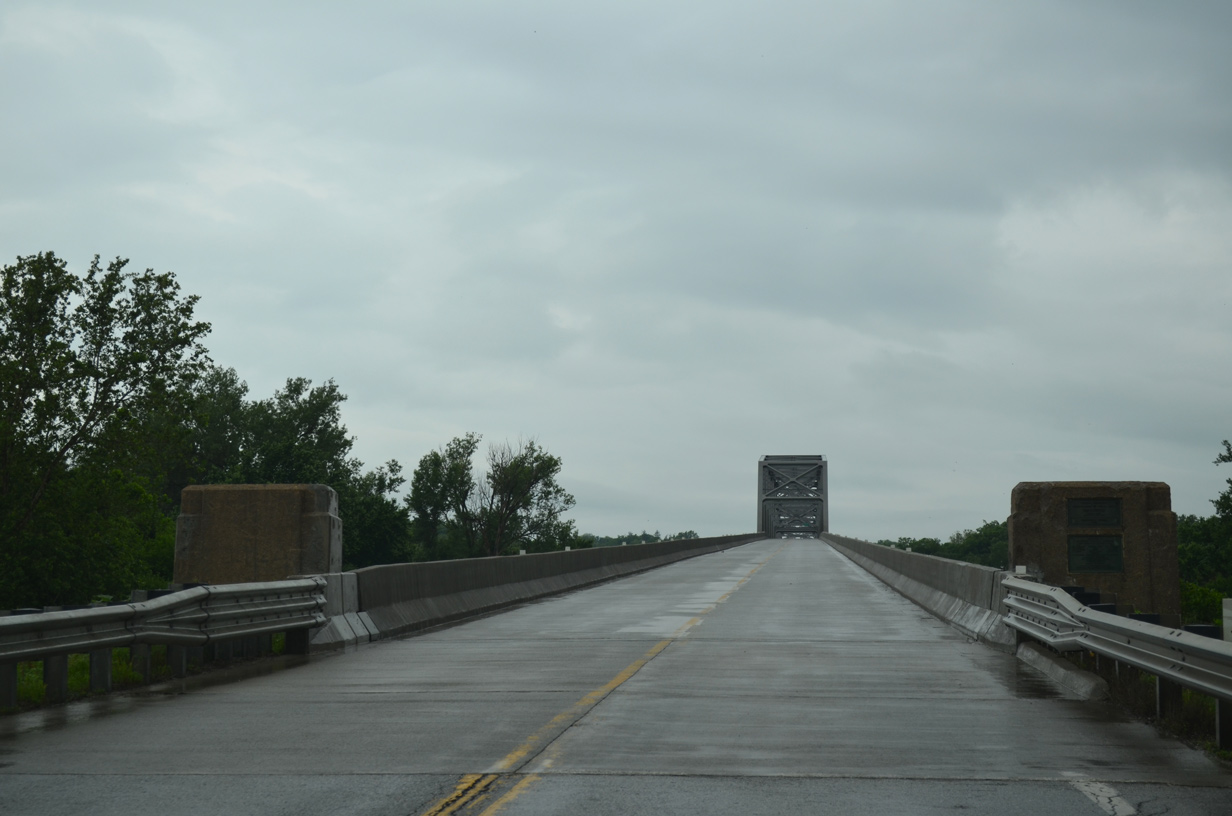
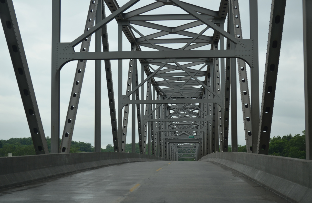
U.S. 136 spans the Missouri River across the Brownville Bridge, a through truss bridge built in 1939.1
06/18/15

Supporting two lanes on a 22.6 foot wide deck, the Brownville Bridge is 1,903 feet in length.1 The span was previously tolled.
06/18/15
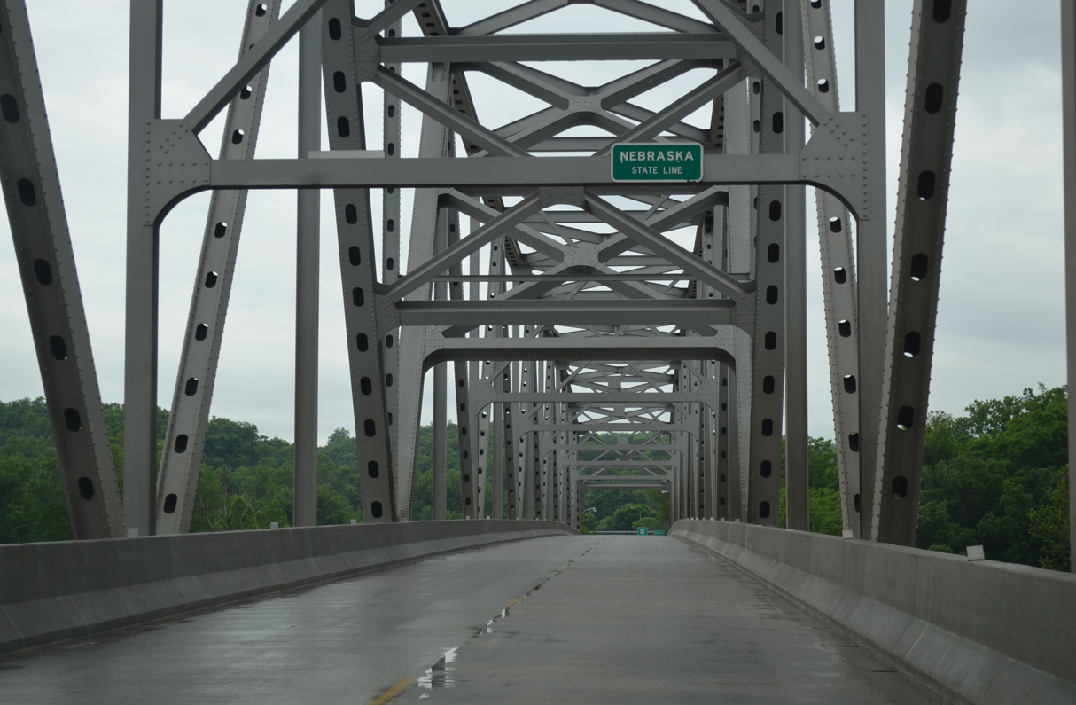
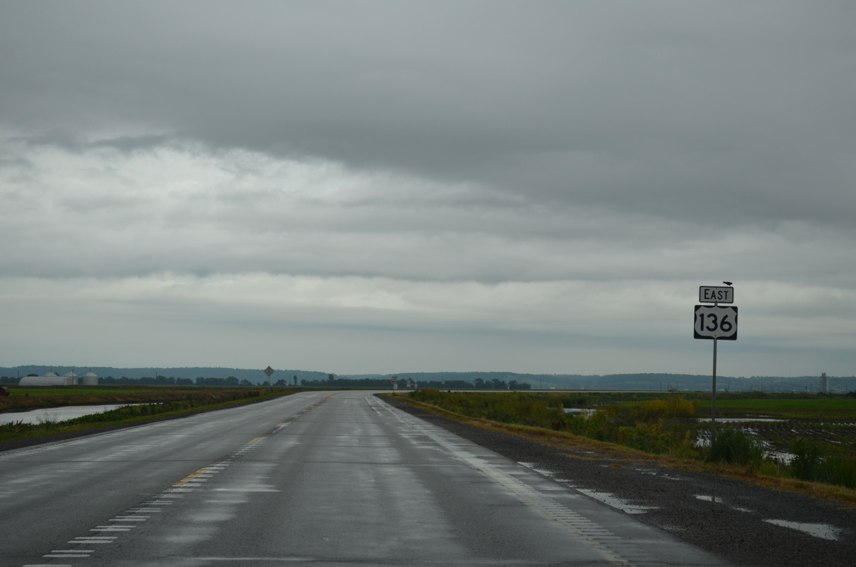
U.S. 136 enters Nemaha County, Nebraska midway across the Brownville Bridge.
06/18/15
References:
- Brownville Bridge. Bridgehunter.com
Photo Credits:
- ABRoads: 06/18/15
Connect with:
Page Updated Wednesday February 26, 2020.