
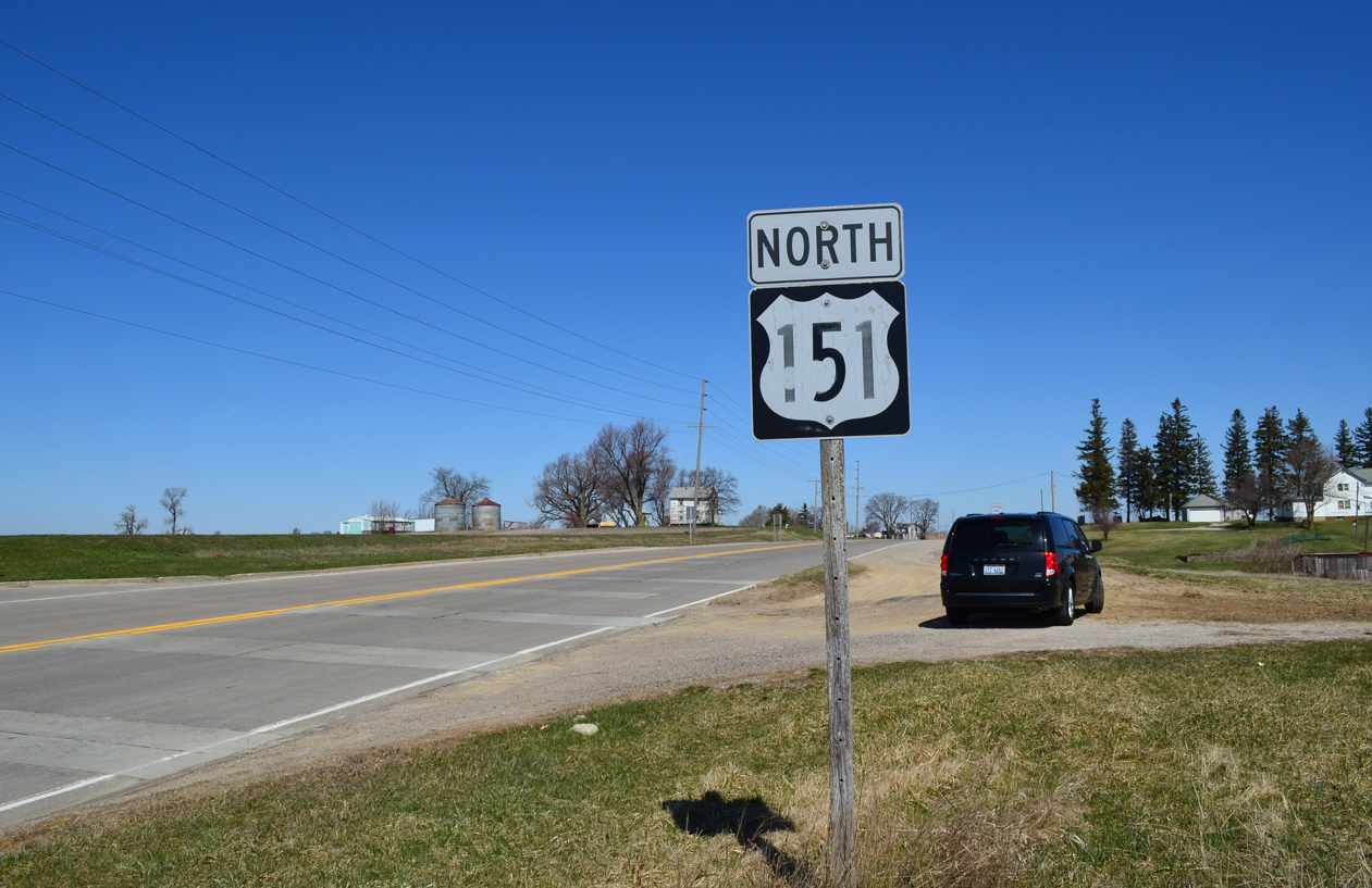
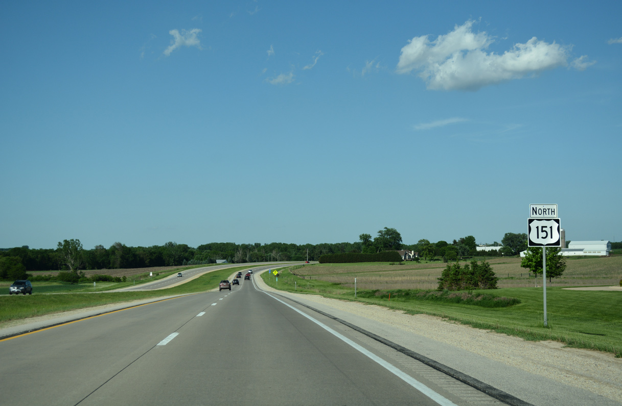
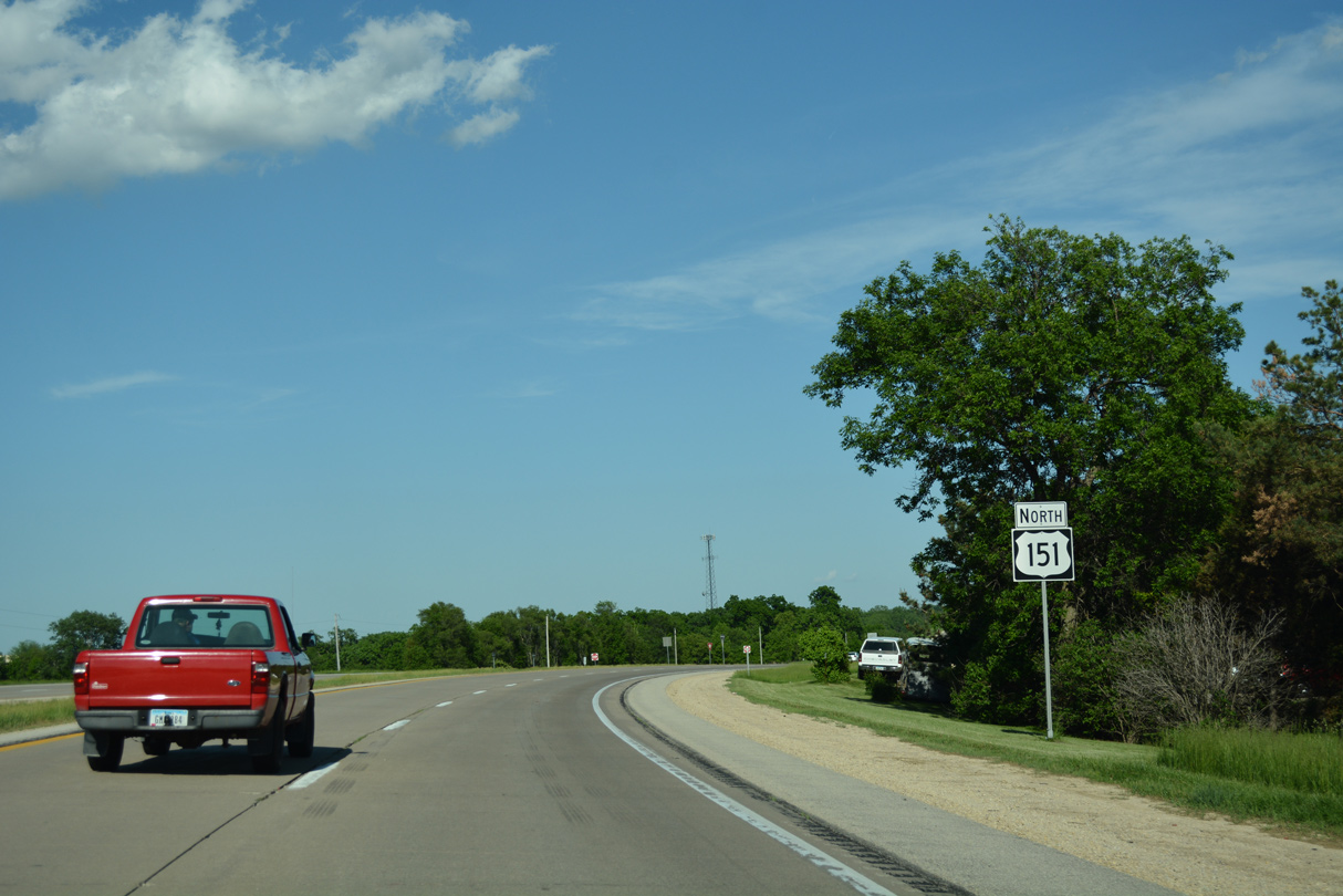
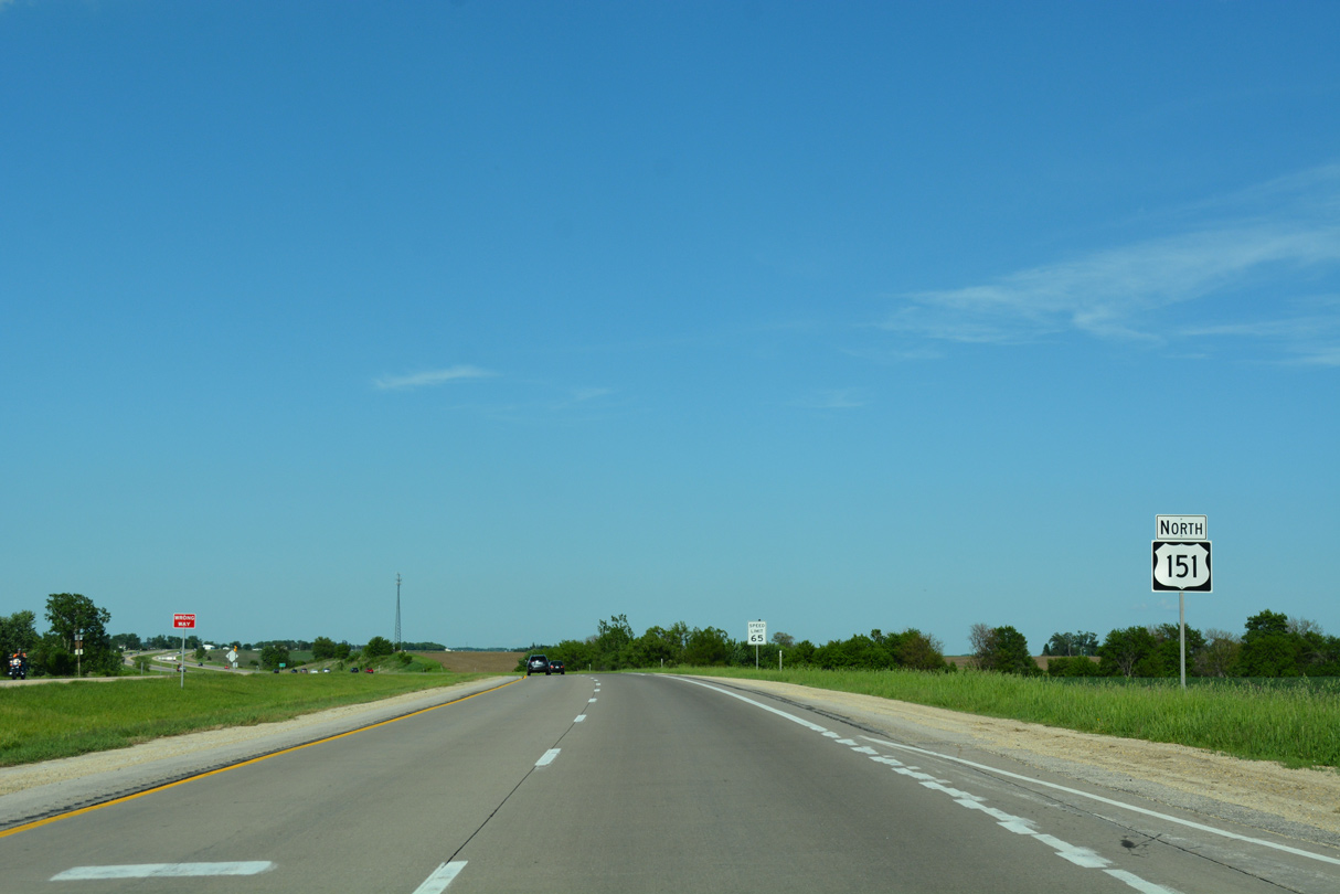
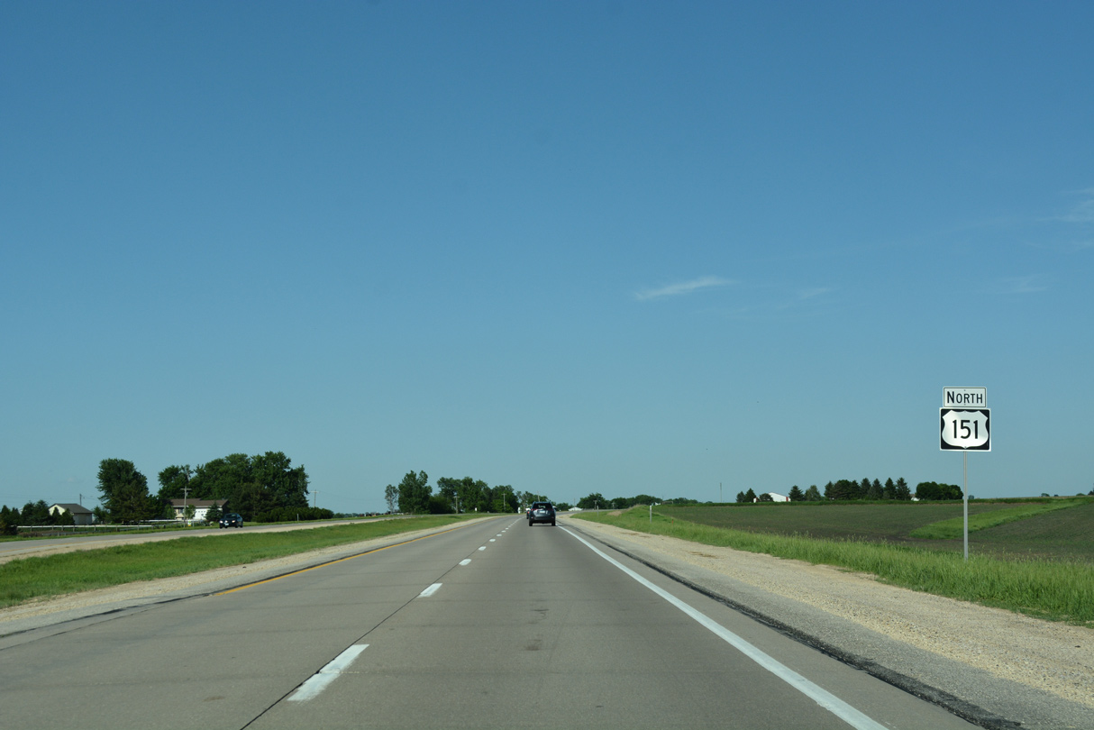
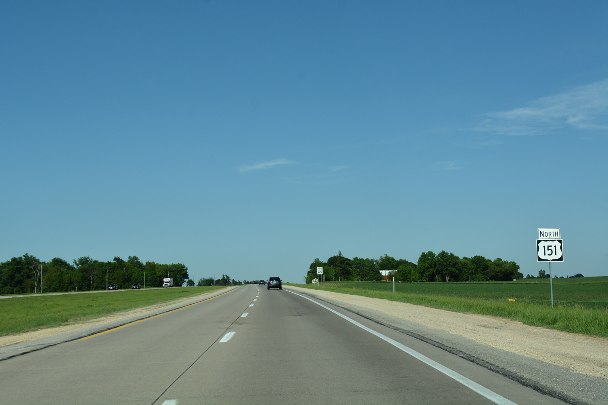
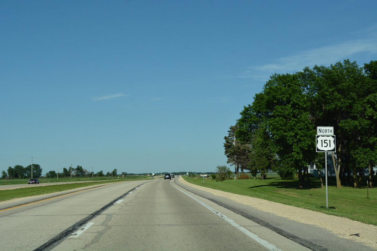
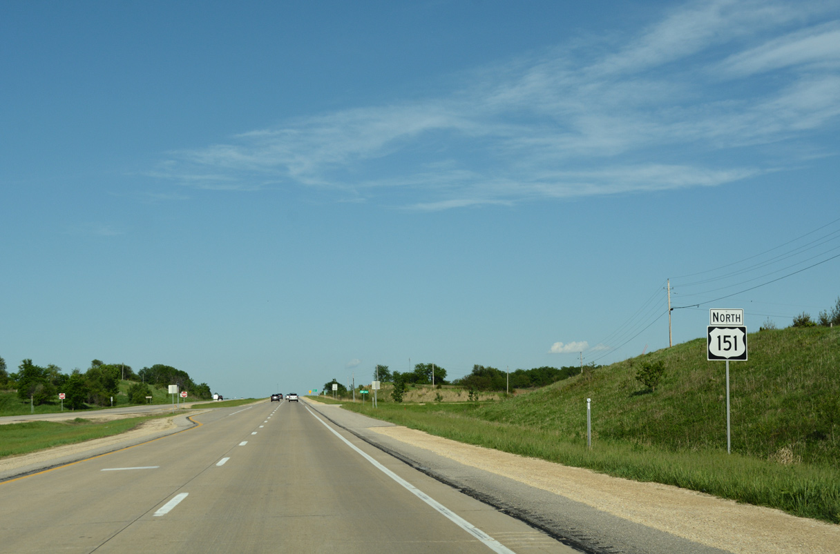
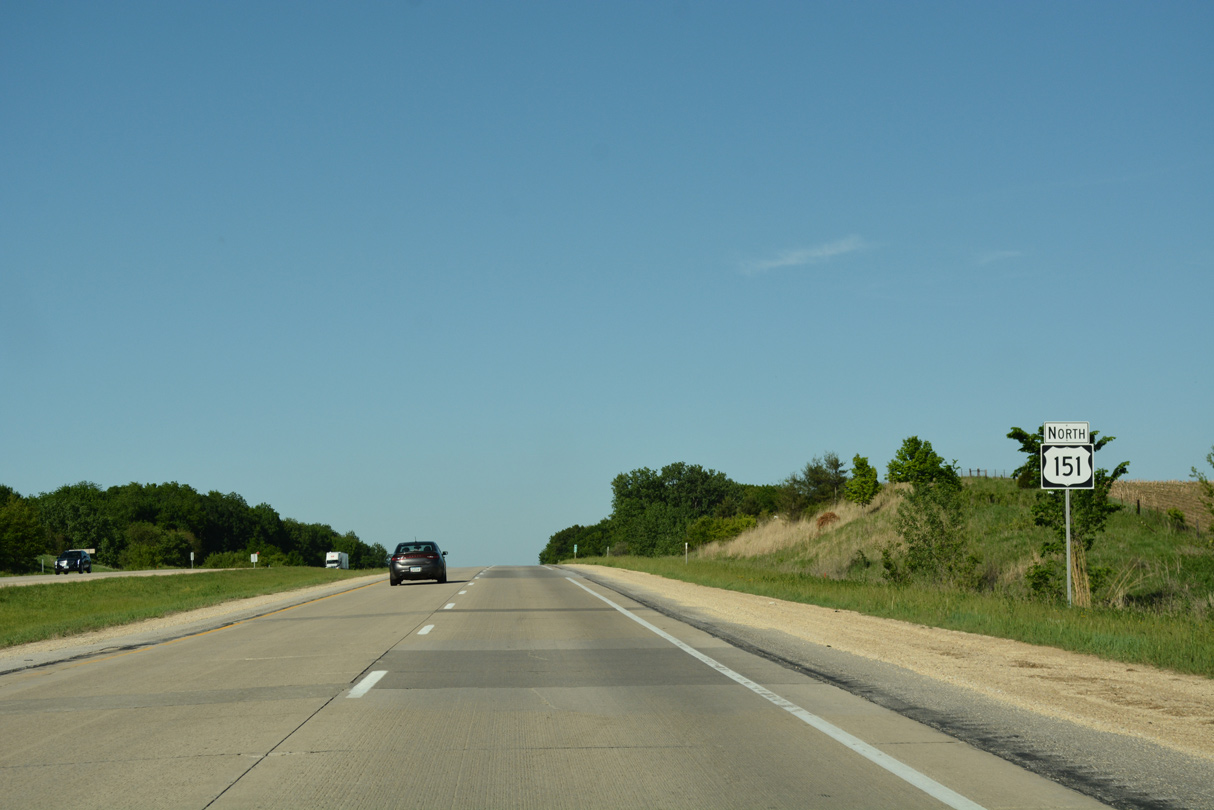
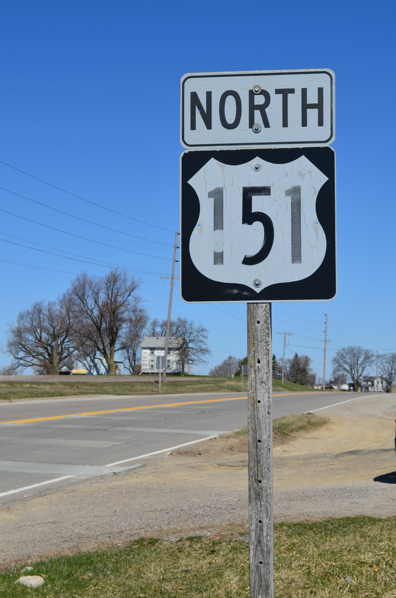
U.S. 151 North

 North
North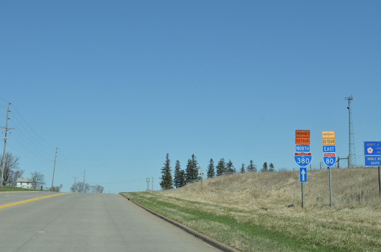
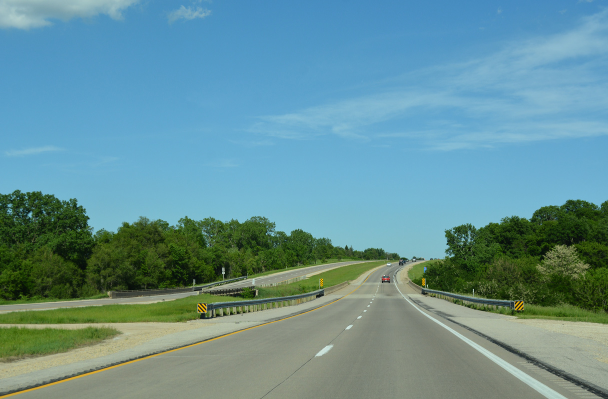
U.S. 151 doubles as part of an Emergency Detour for both Interstates 80 and 380 on the 5.5 mile drive north to U.S. 6.
03/28/16
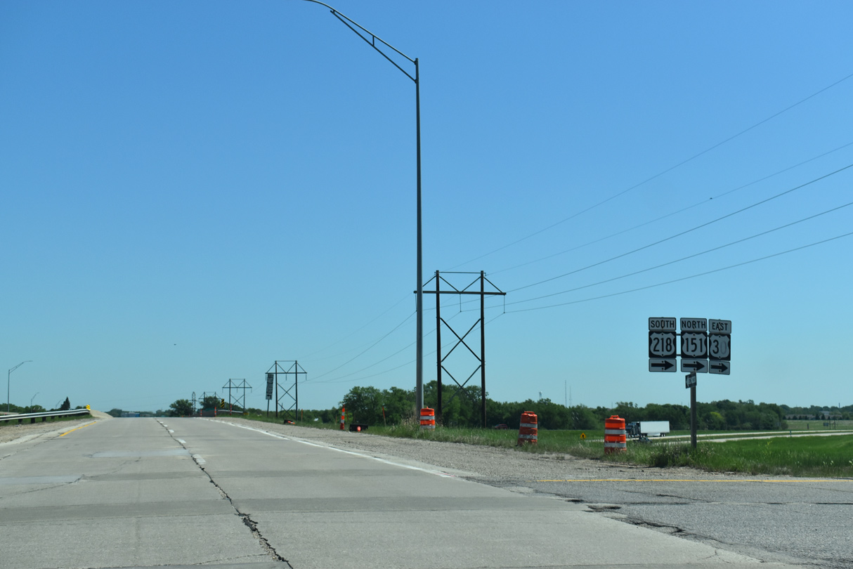
The first confirming marker for U.S. 151 north stands just beyond Interstate 80 in Iowa township.
03/28/16

U.S. 151 angles northeast from the city of Fairfax to U.S. 30/218 (Lincoln Freeway) at Cedar Rapids.
05/26/18
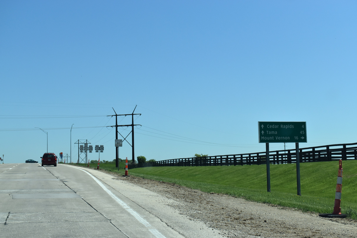
The Lincoln Freeway runs across the south side of Cedar Rapids as part of U.S. 30 between Tama and Mount Vernon.
05/26/18
U.S. 151 Business through Cedar Rapids begins at the diamond interchange taking U.S. 151 east onto U.S. 30/218. U.S. 151 Business follows Williams Boulevard northeast to Westdale Mall and 1st Avenue SW to Downtown.
05/26/18
U.S. 151 accompanies U.S. 30 (Lincoln Freeway) east 10.5 miles.
05/26/18
 East North
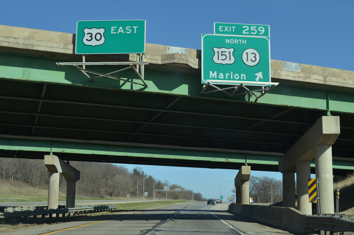
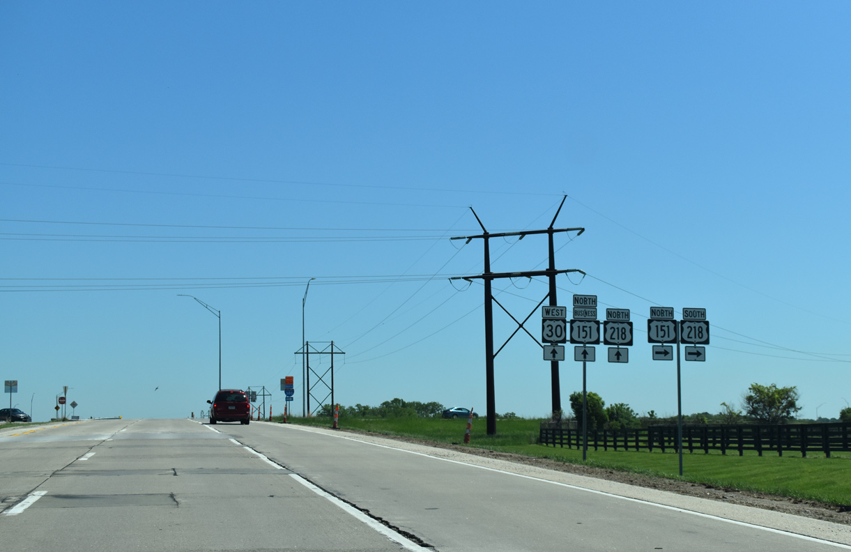
U.S. 30 east and U.S. 151 north separate at a trumpet interchange (Exit 259) just beyond the Cedar River.
03/25/16
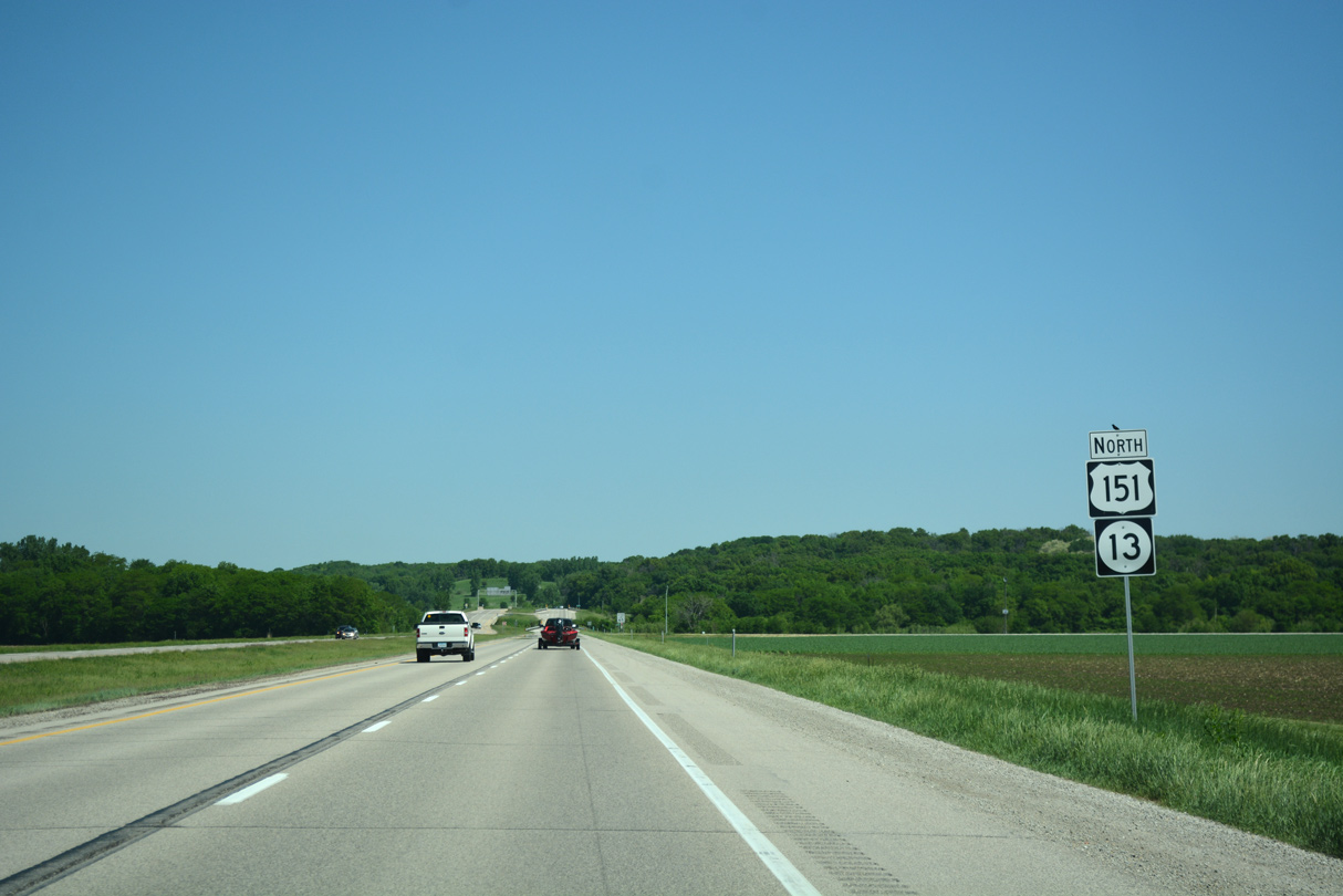
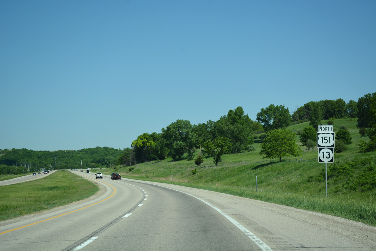
U.S. 151 combines with Iowa 13 north from U.S. 30 across an agricultural area ahead of Cedar Woods Road and Big Creek.
05/26/18
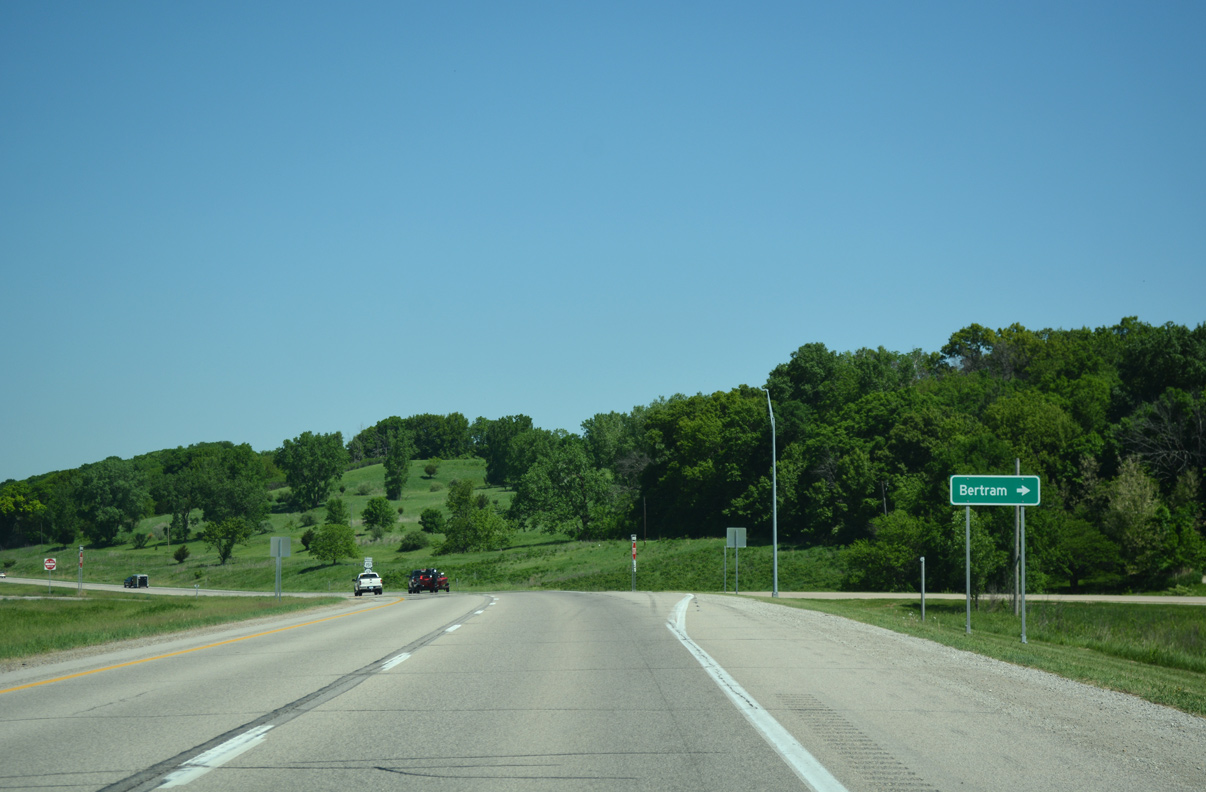
Blaines Crossing Road ties into U.S. 151/Iowa 13 north of the Union Pacific Railroad underpass from the Betram city center.
05/26/18
The expressway bends northwest along the bluff line from Blaines Crossing Road to Bertram Road.
05/26/18
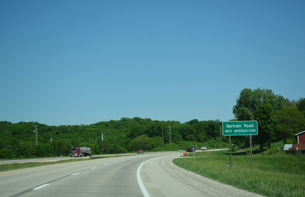
Bertram Road branches northwest from U.S. 151/Iowa 13 to the Cedar Rapids Wastewater Treatment Plant and CR E48 (Mount Vernon Road) near Vernon View.
05/26/18
Curving back to the east from Betram Road, U.S. 151/Iowa 13 leave the Bertram city limits.
05/26/18
County Road E48 (Mt. Vernon Road) meets U.S. 151/Iowa 13 at a signalized intersection by Diamond Sport Park.
05/26/18
Mt. Vernon Road represents the historic alignment of U.S. 30 and the Lincoln Highway west to Downtown Cedar Rapids and southeast to Mount Vernon.
05/26/18
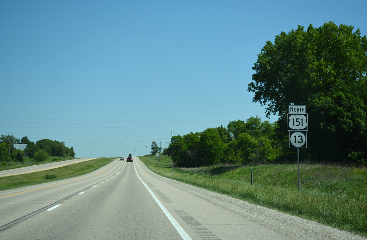
Confirming markers posted north of CR E48 (Mt. Vernon Road).
05/26/18

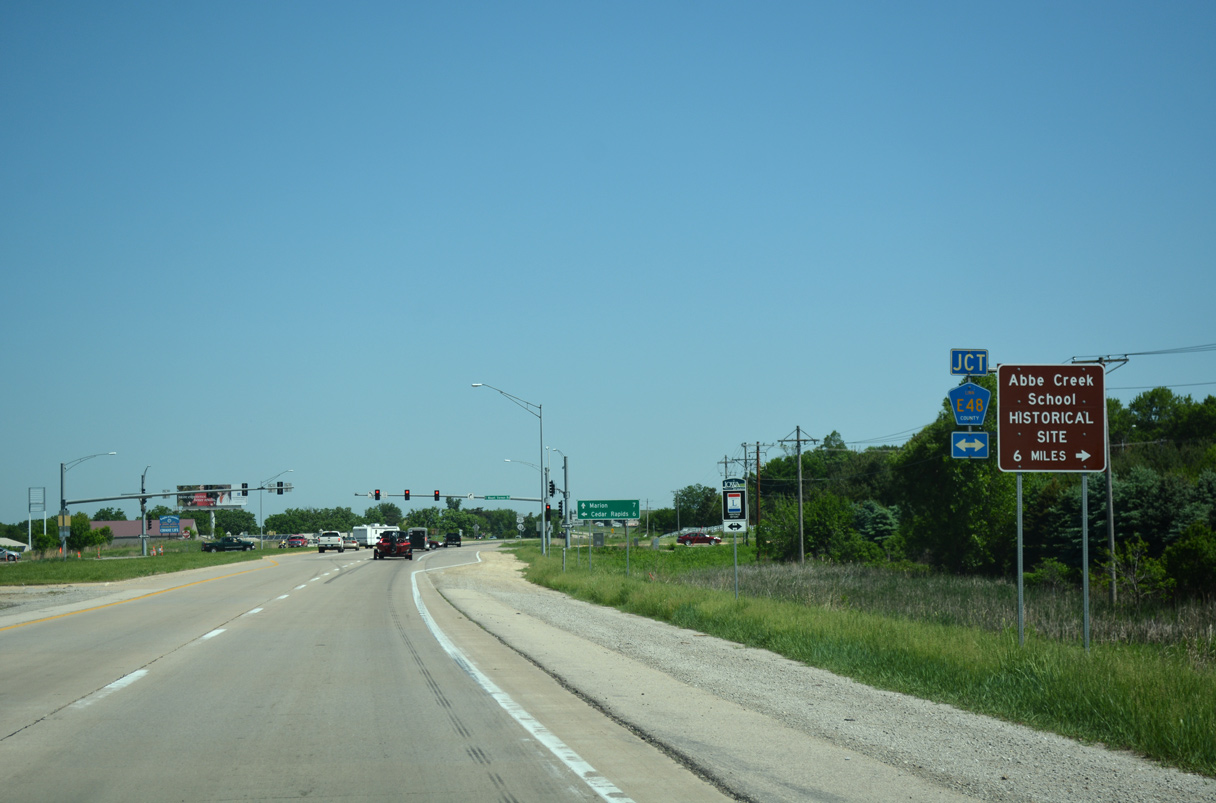
U.S. 151/Iowa 13 intersects Cottage Grove Parkway (CR E44) ahead of this shield assembly.
05/26/18
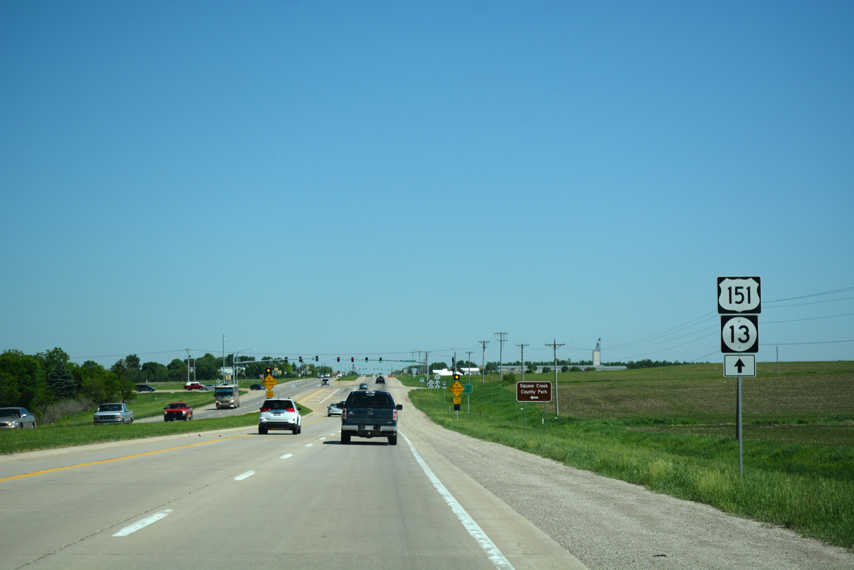
Heading north from Travis Road, U.S. 151/Iowa 13 run along the east side of Squaw Creek County Park and Gardner Golf Course.
05/26/18
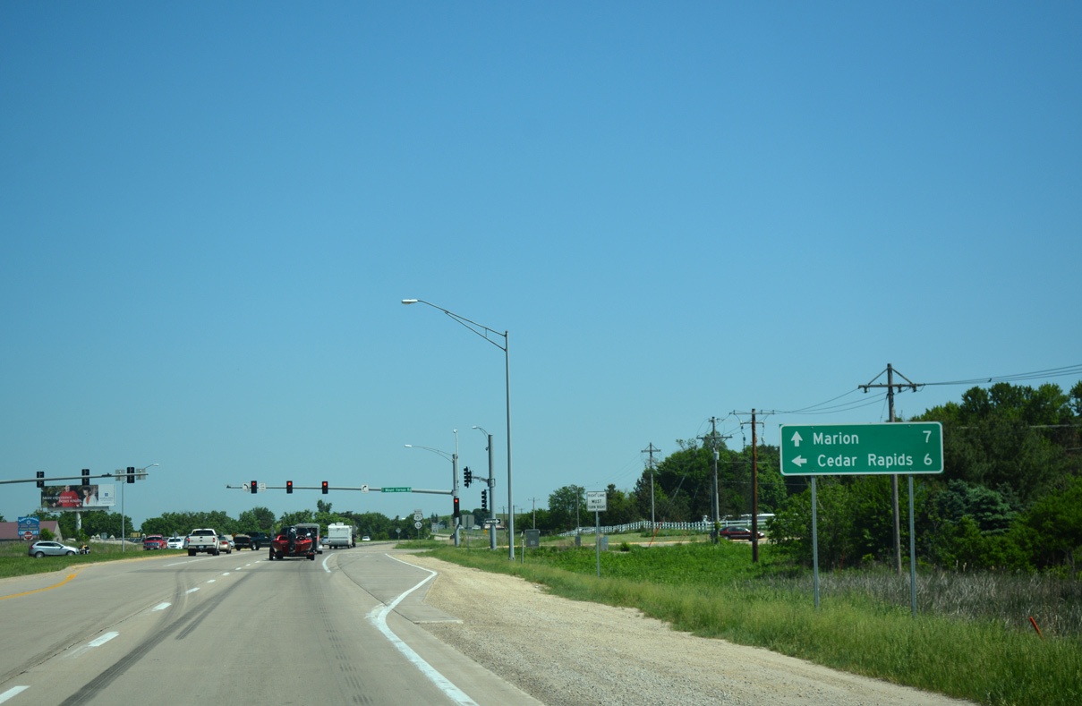
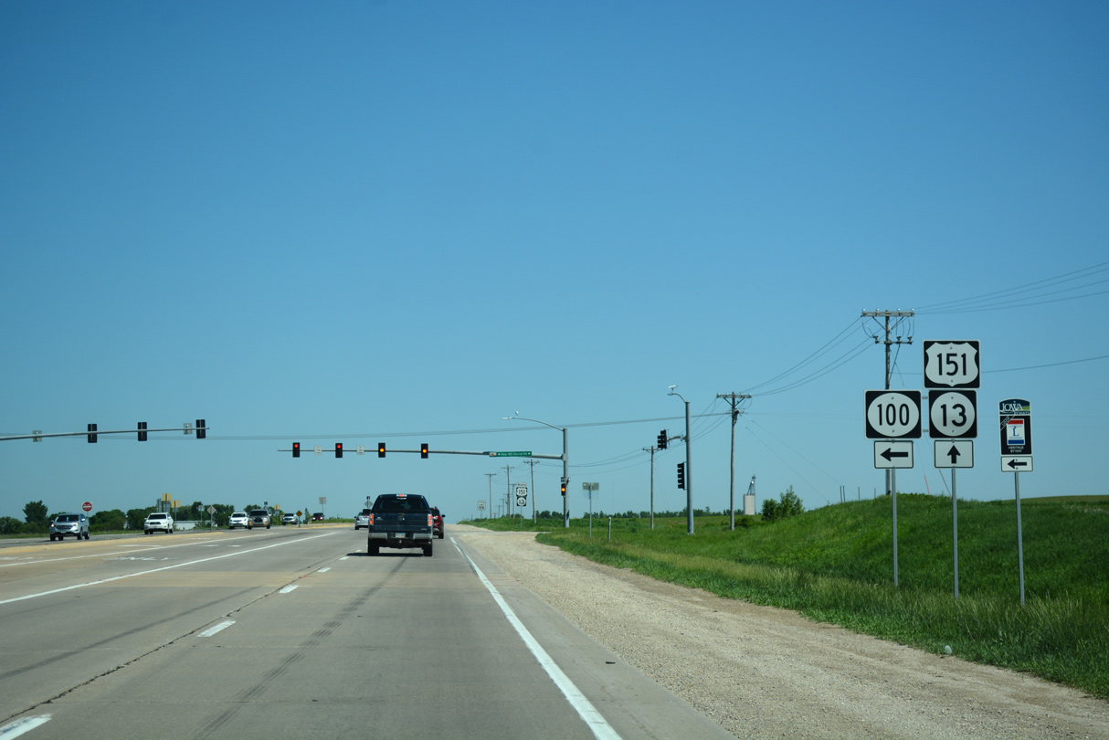
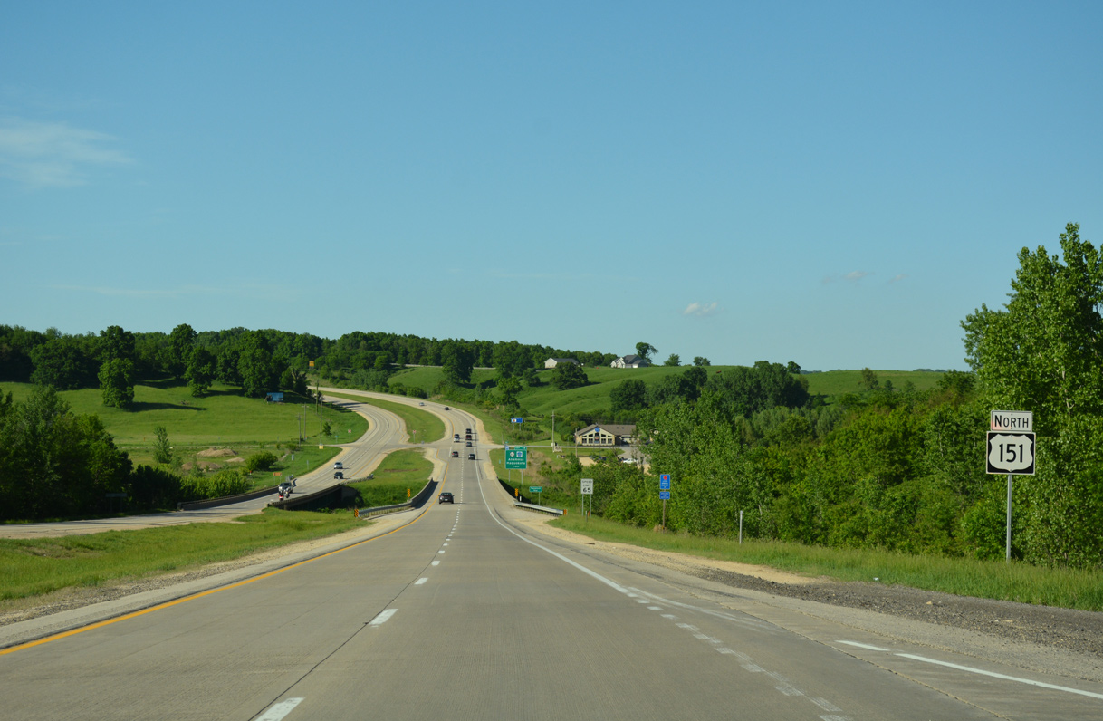
U.S. 151 reaches the Marion city line ahead of Iowa 100.
05/26/18
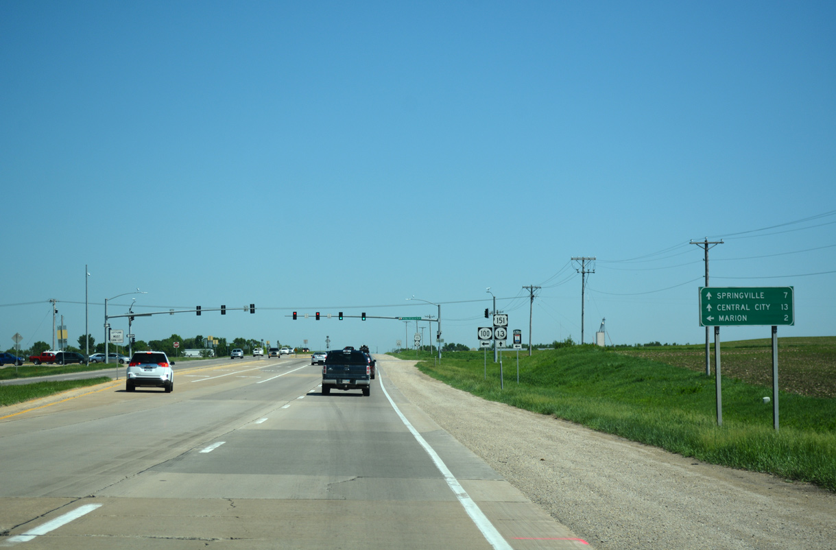
Iowa 100 bypasses Marion along the south side of the city west along a controlled access arterial to U.S. 151 Business (1st Avenue E) at Lindale Mall.
05/26/18
Measuring 17 miles overall, Iowa 100 begins at U.S. 151/Iowa 13 in Marion. Forming the north and western legs of a beltway around Cedar Rapids, Iowa 100 comprises a freeway from I-380 west to Covington and south to U.S. 30/218 (Lincoln Freeway).
05/26/18
U.S. 151/Iowa 13 remains rural through Marion northward to Grant Wood Trail, a multi use path following the former Chicago, Milwaukee, St. Paul & Pacific Railroad line.
05/26/18
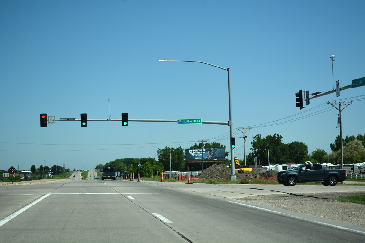
The signal at Linn Aire Drive serves an adjacent industrial park and a west side service road.
05/26/18
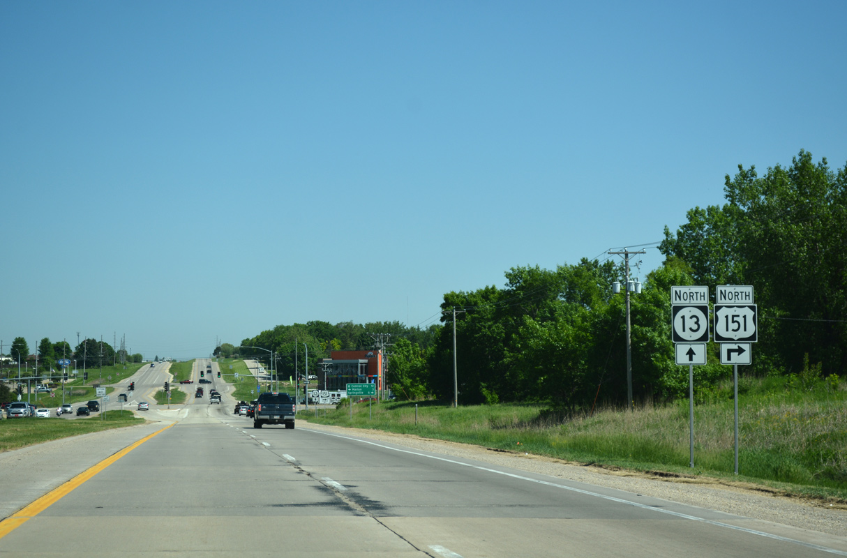
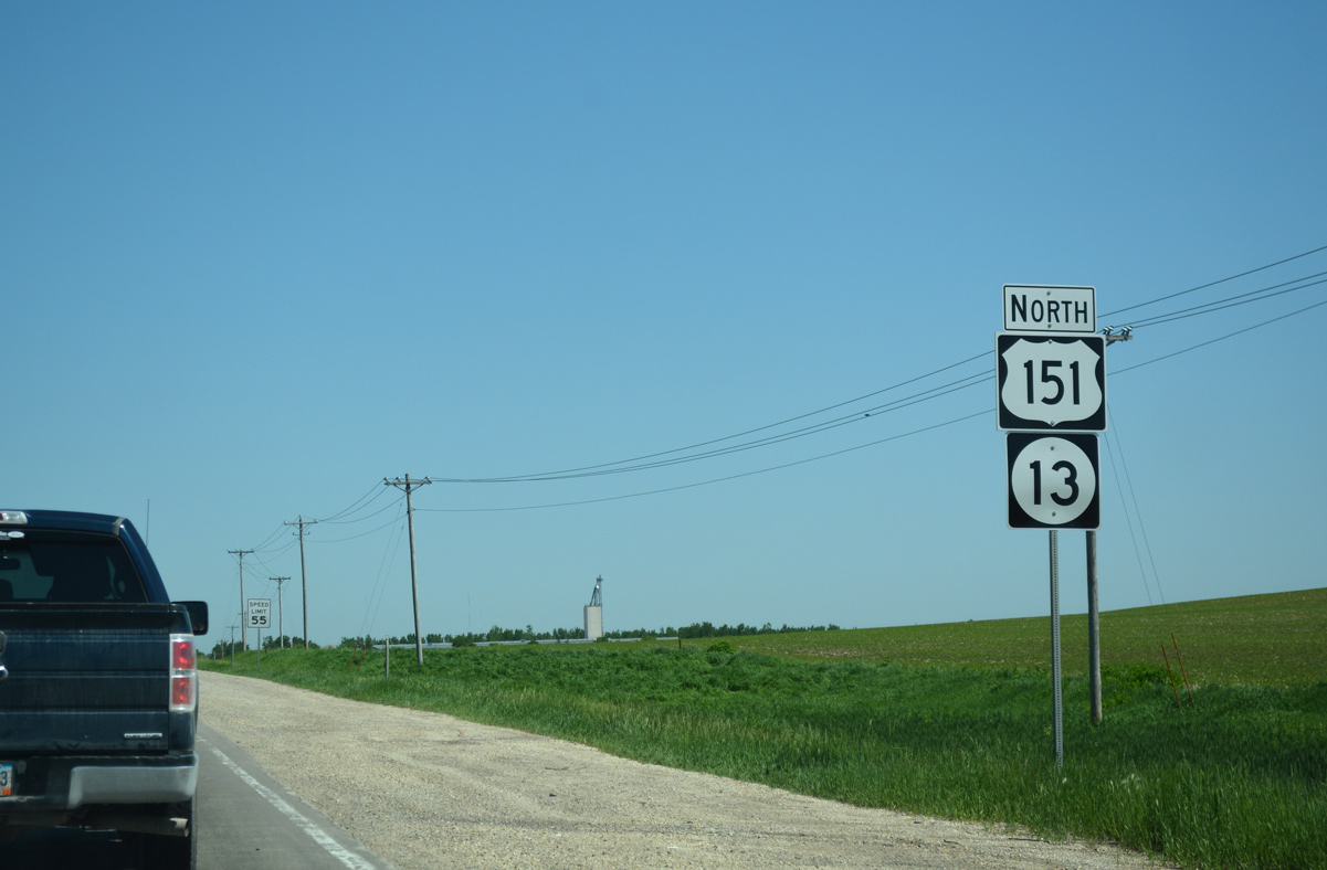
U.S. 151 and Iowa 13 proceed north from Linn Aire Avenue to split at the succeeding traffic light.
05/26/18
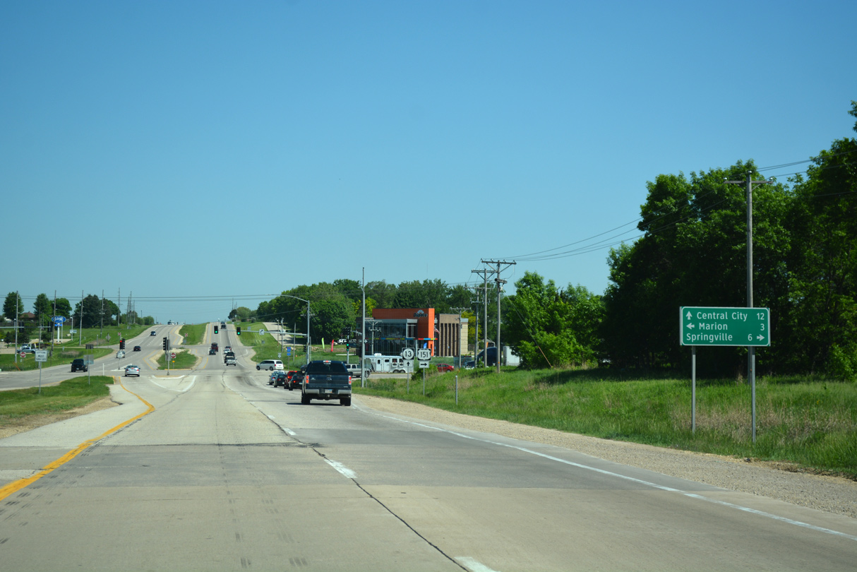
U.S. 151 turns east from Iowa 13 toward Springville. U.S. 151 Business (10th Avenue) stems west 2.4 miles to Downtown Marion.
05/26/18
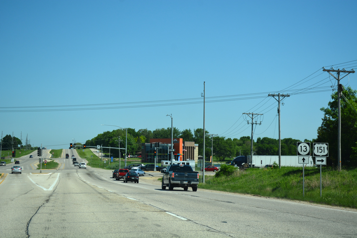
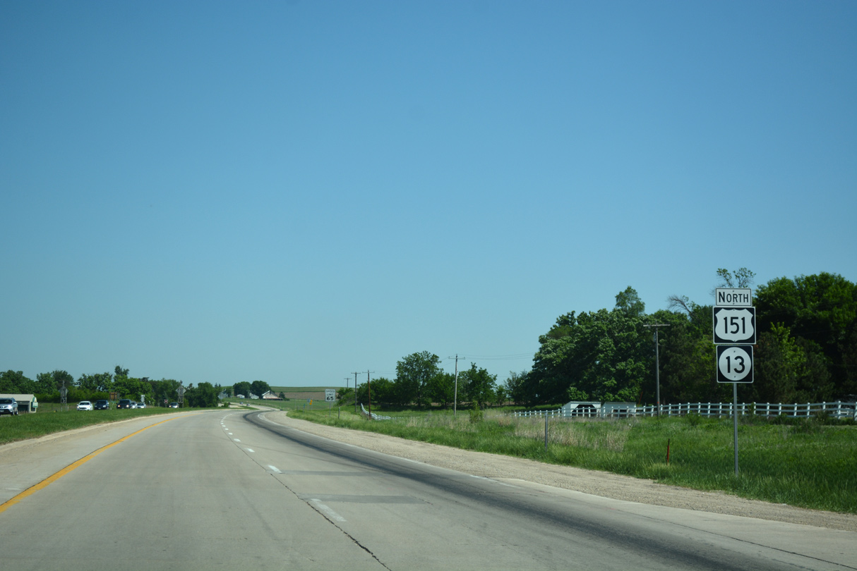
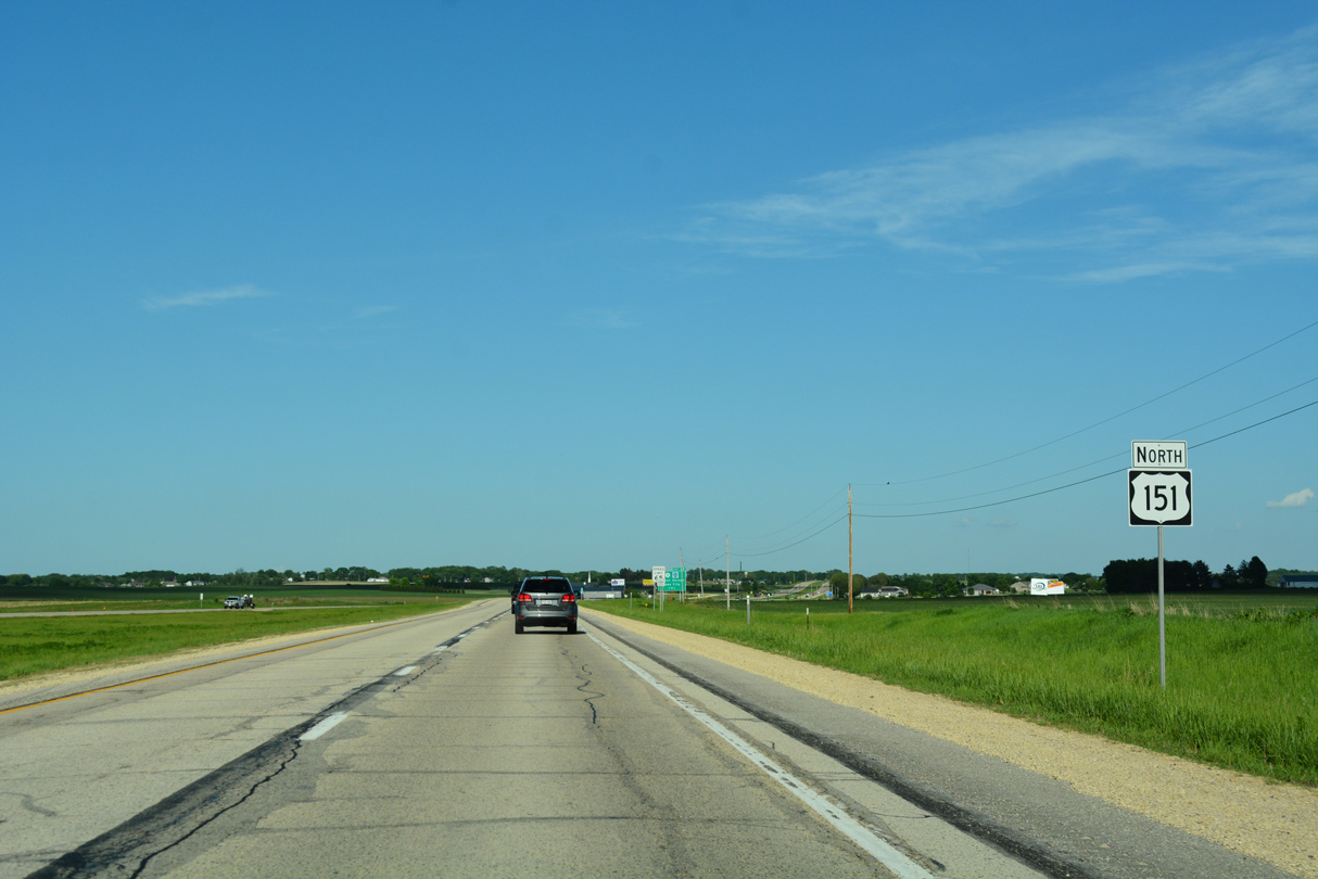
Iowa 13 travels north from Marion to Central City and Manchester. U.S. 151 heads northeast to Anamosa, Cascade and Dubuque.
05/26/18
North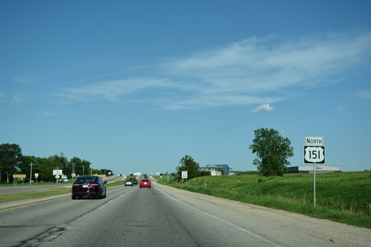
Leading away from Iowa 13, U.S. 151 passes south of the Squaw Creek Village neighborhood in east Marion.
05/26/18
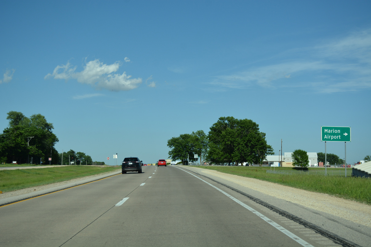
Marion Airport Road branches east from U.S. 151 to Marion Airport (C17).
05/26/18
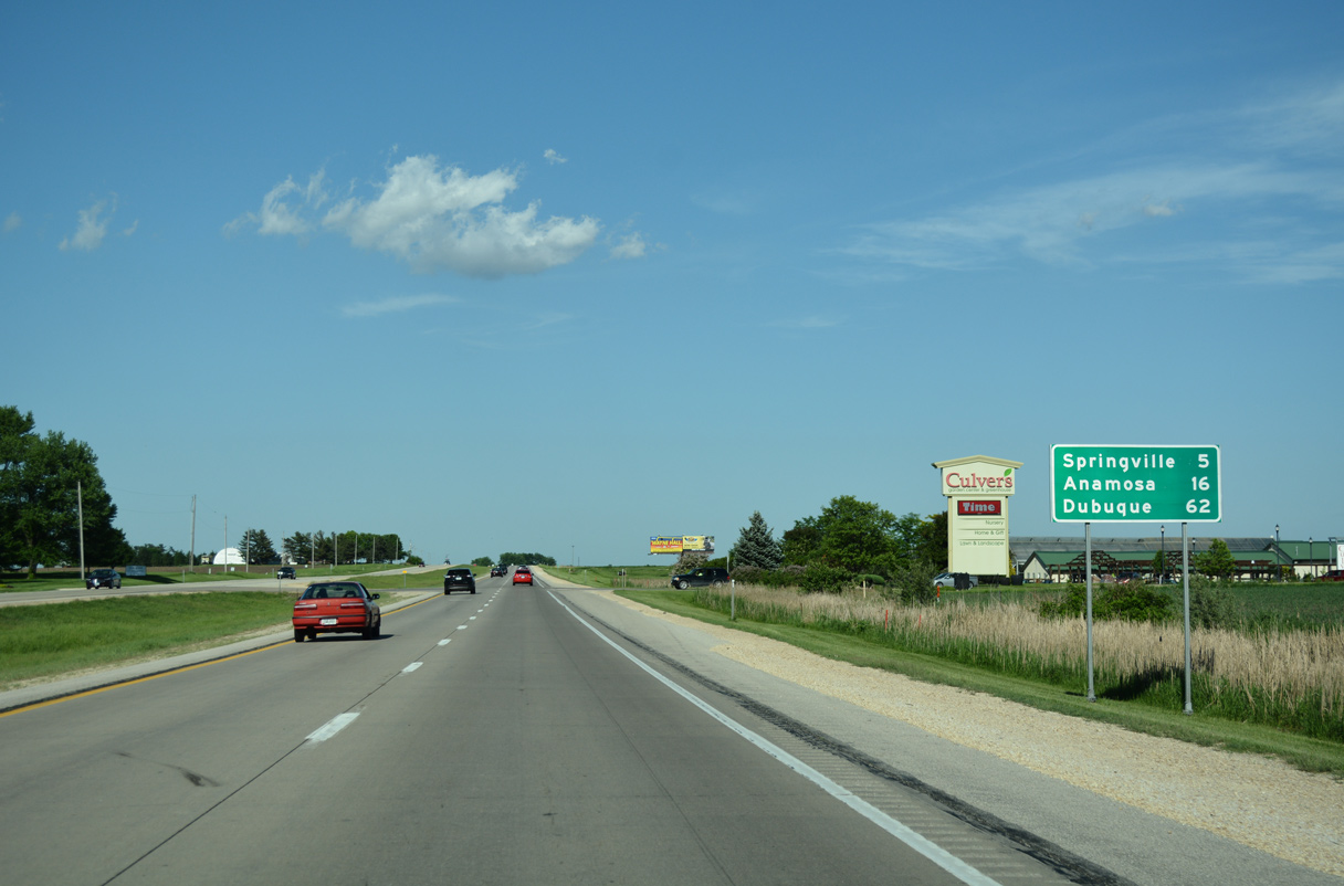
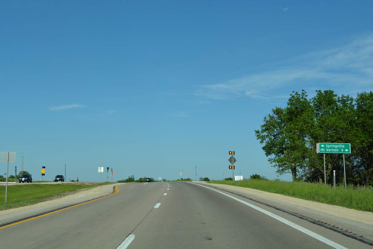
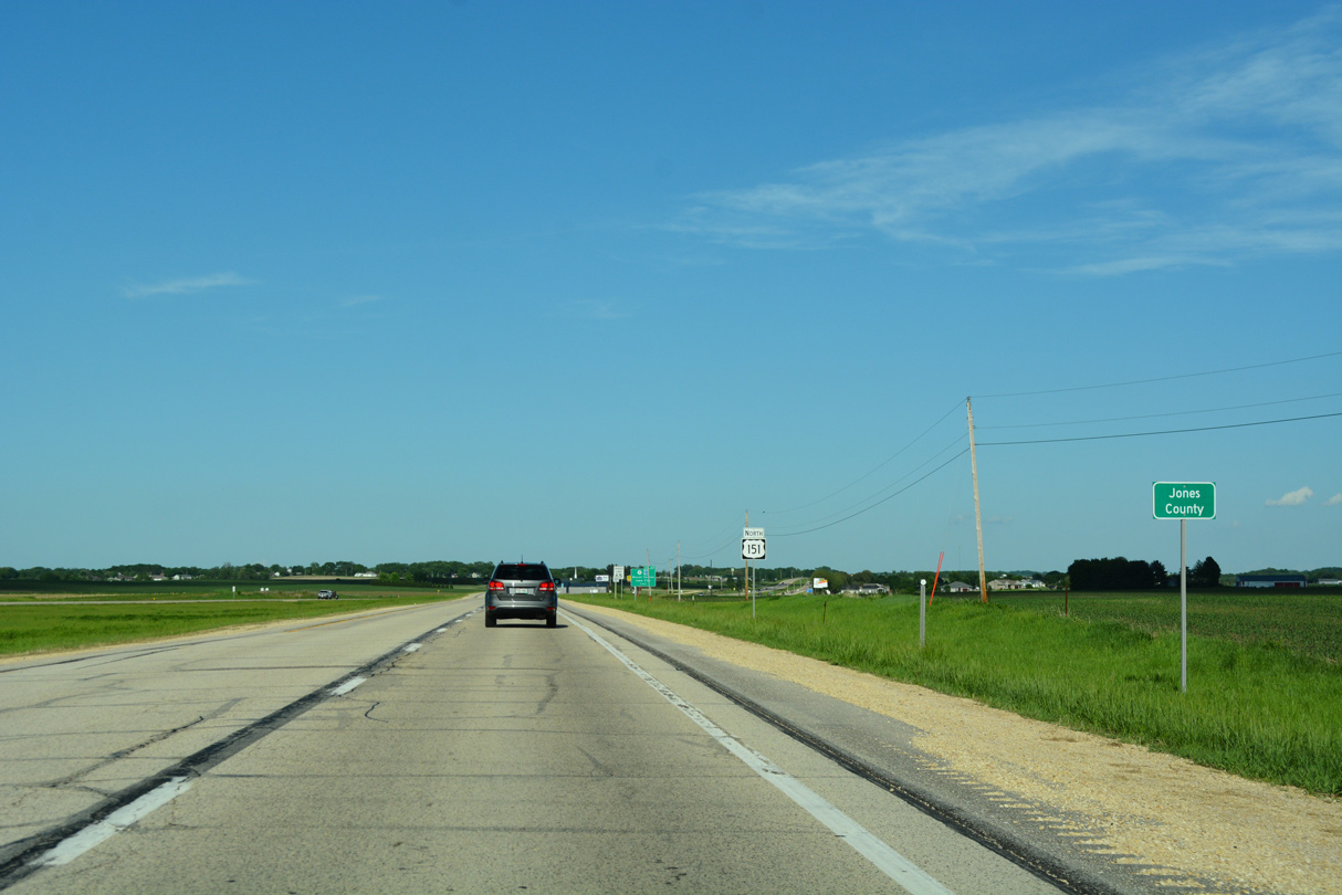
Trending northward from Marion to the Jones County line, U.S. 151 reaches Springville in five miles and Anamosa in 16 miles.
05/26/18
U.S. 151 east of Hindman Road in Marion township.
05/26/18
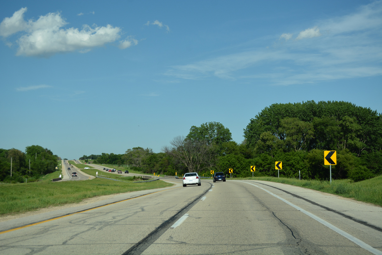
Navigating east through an S-curve, U.S. 151 intersects Jordans Grove Road north and crosses Crabapple Creek.
05/26/18
Reassurance marker posted northbound between Stone Road and the Carlton Mobile Home Court in western Brown township.
05/26/18
U.S. 151 crosses Big Creek ahead of the Bowser Quarry.
05/26/18
Briefly passing through the Springville city limits, U.S. 151 advances east to CR X20 (Springville Road) and 6th Street north.
05/26/18
6th Street links U.S. 151 with 1st Avenue (old U.S. 151) and the Springville city center. CR X20 (Springville Road) ventures 8.6 miles south to Paralta nearby and the Mount Vernon city line.
05/26/18
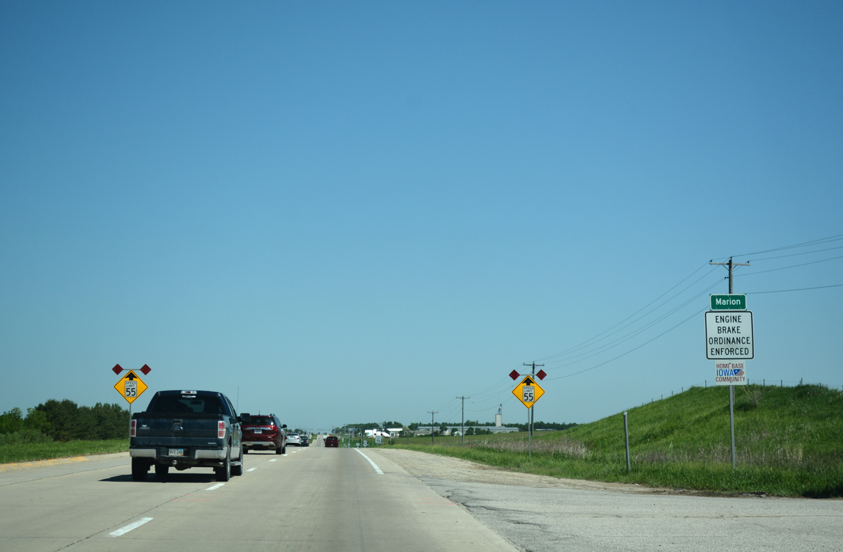
Speed limits remain at 65 miles per hour along U.S. 151 on the Springville bypass.
05/26/18
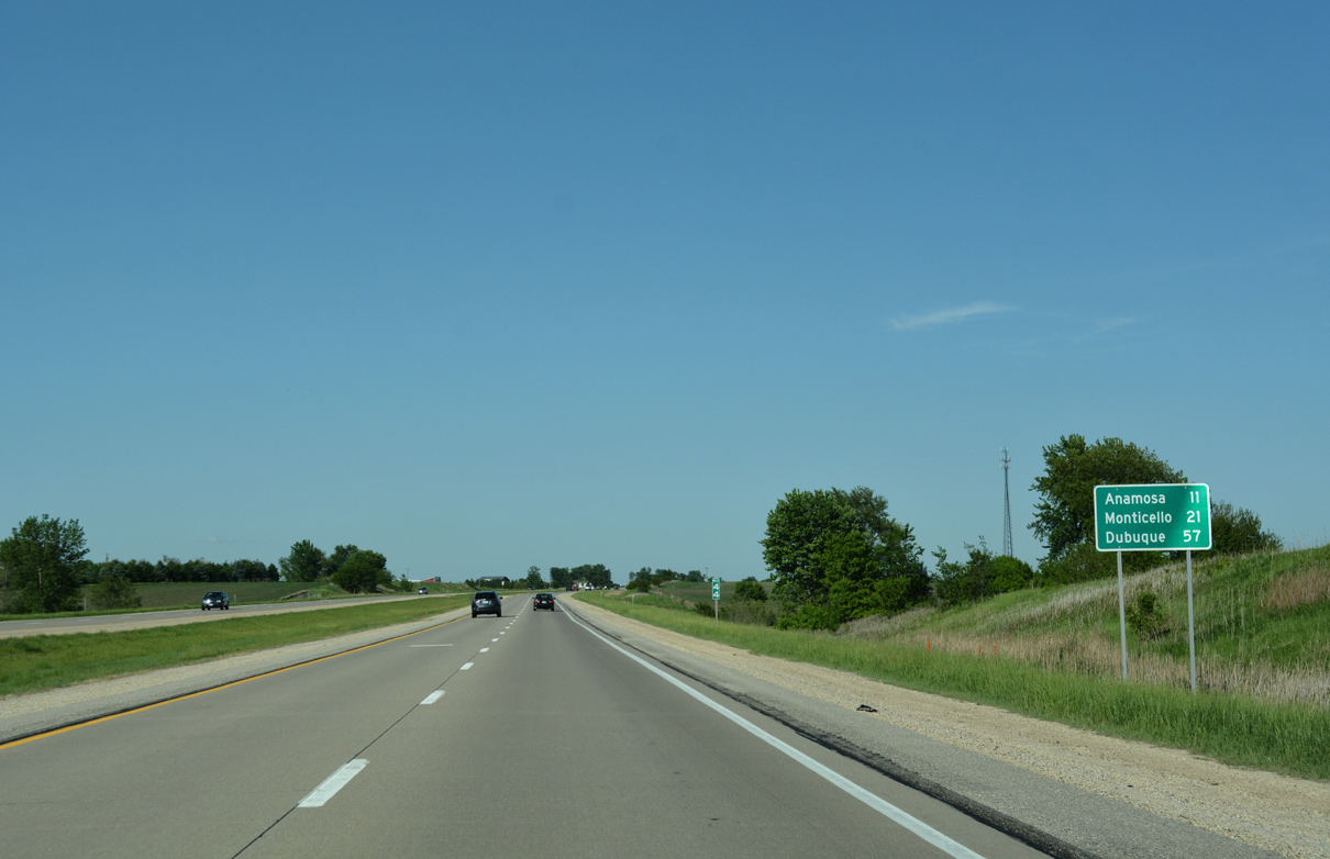
The Jones County seat of Anamosa is 11 miles beyond Springville via U.S. 151. Dubuque is a 57 mile drive to the northeast.
05/26/18
Dubuque Road (old U.S. 151) converges with U.S. 151 by Alderman Road and this reassurance shield.
05/26/18
Linn Grove Road stems south from U.S. 151 to Mount Vernon at the succeeding intersection.
05/26/18
U.S. 151 north at Taylor Road.
05/26/18
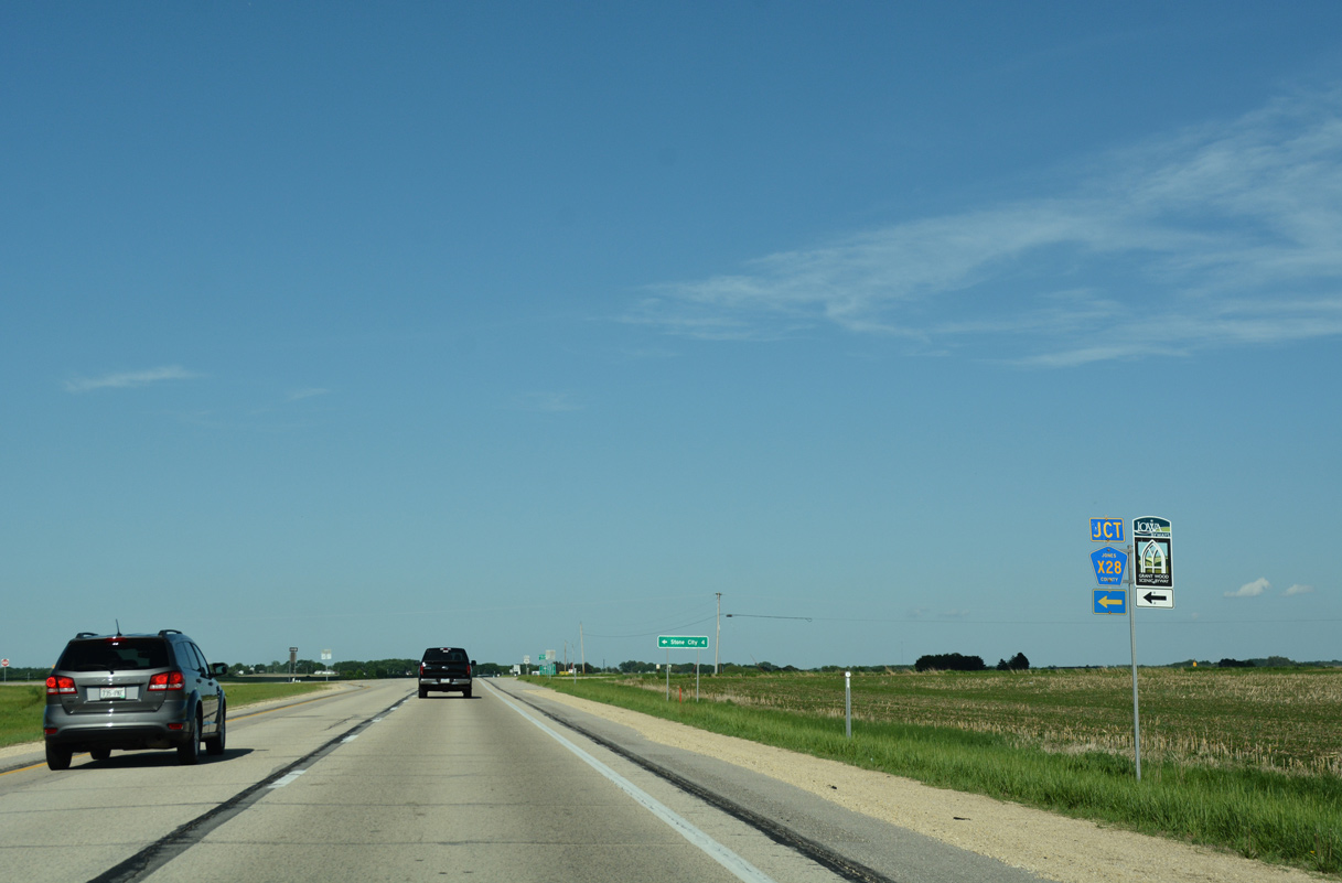
County Road X28 (Linn Jones Road) forms part of the Grant Wood Scenic Byway north to CR E28 at Stone City. The byway lines CR E28 east into Anamosa.
05/26/18
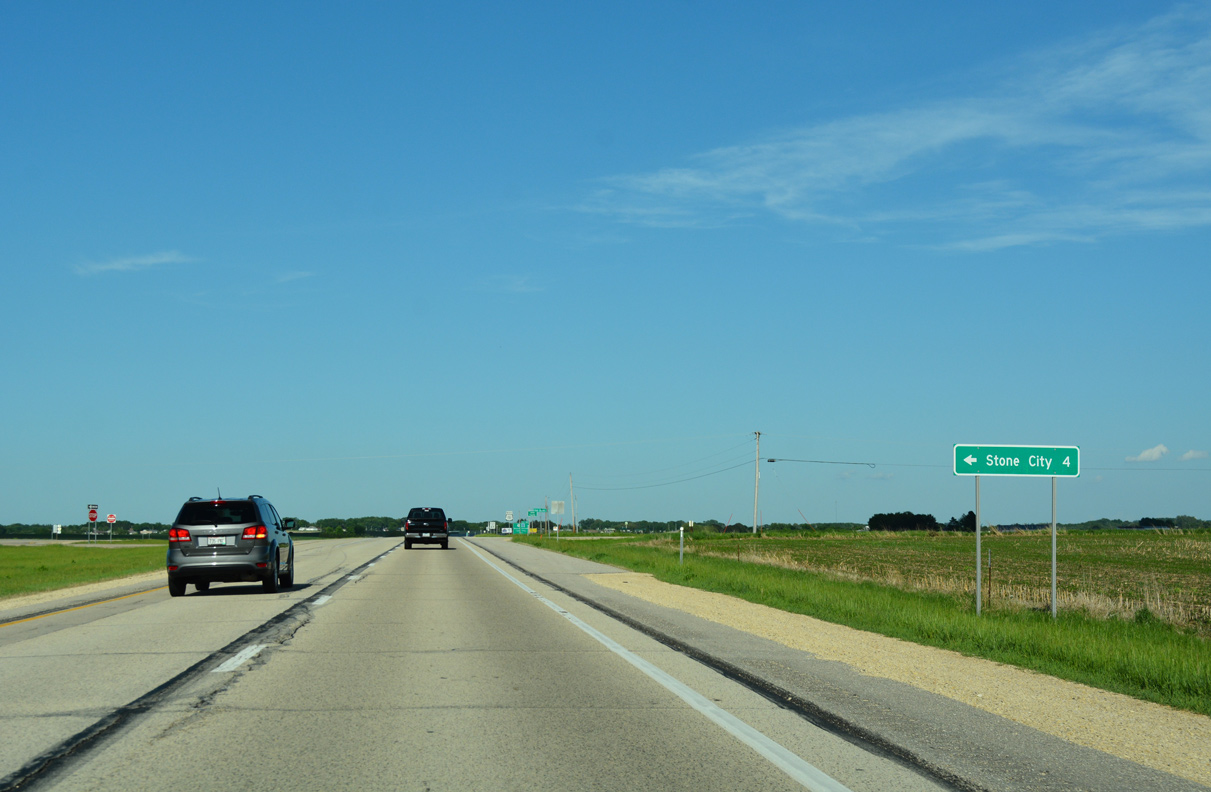
The settlement of Stone City is 3.9 miles to the north along CR X28 along the Wapsipinicon River. Viola lies 2.2 miles to the west via CR X28 and CR E34 (Fairview Road).
05/26/18
U.S. 151 bends back to the east to Fairview in Jones County.
05/26/18
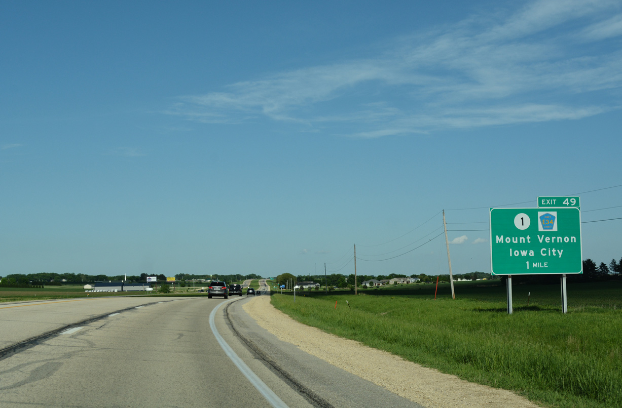
U.S. 151 next meets the north end of Iowa 1 at Exit 49.
05/26/18
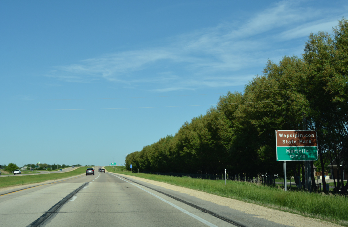
Iowa 1 travels 3.4 miles south to the city of Martelle. CR E34 extends 3.3 miles northeast from Fairview to Wapsipinicon State Park.
05/26/18
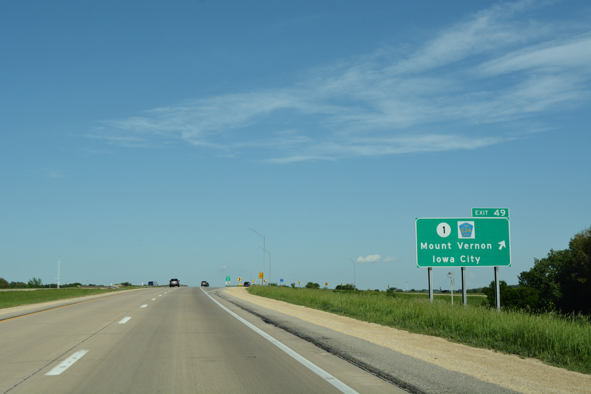
Entering the parclo interchange (Exit 49) with Iowa 1 south to Mount Vernon and Iowa City and CR E34 north to Anamosa on U.S. 151.
05/26/18
228th Avenue ties into U.S. 151 from 90th Street to the south just east of Exit 49.
05/26/18
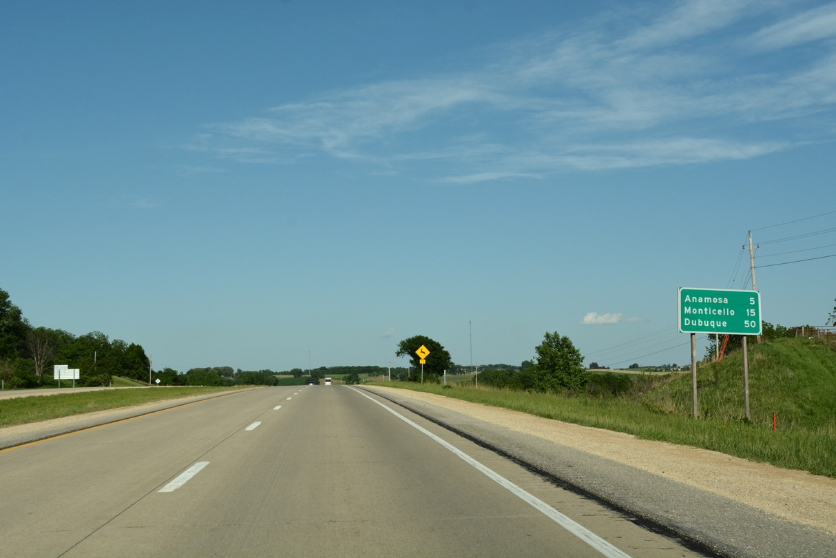
U.S. 151 arcs northward from the exchange with Iowa 1, five miles to Anamosa. Monticello follows in another ten miles along the expressway.
05/26/18
Forest Chapel Road crosses U.S. 151 ahead of this reassurance marker.
05/26/18
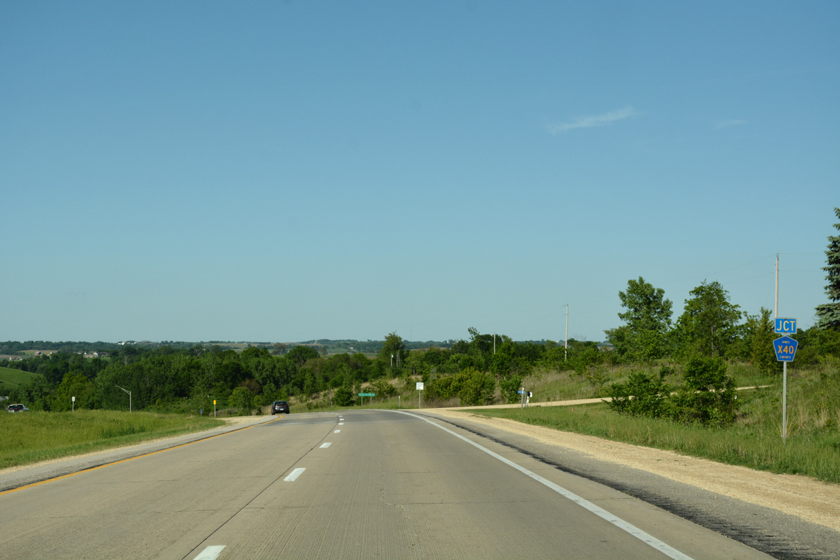
Approaching the north end of County Road X40 on U.S. 151 north in Fairview township.
05/26/18
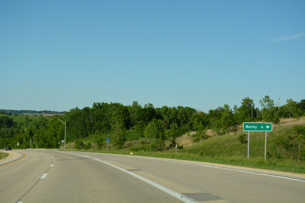
The rural city of Morley is 5.4 miles south of U.S. 151 along CR X40.
05/26/18
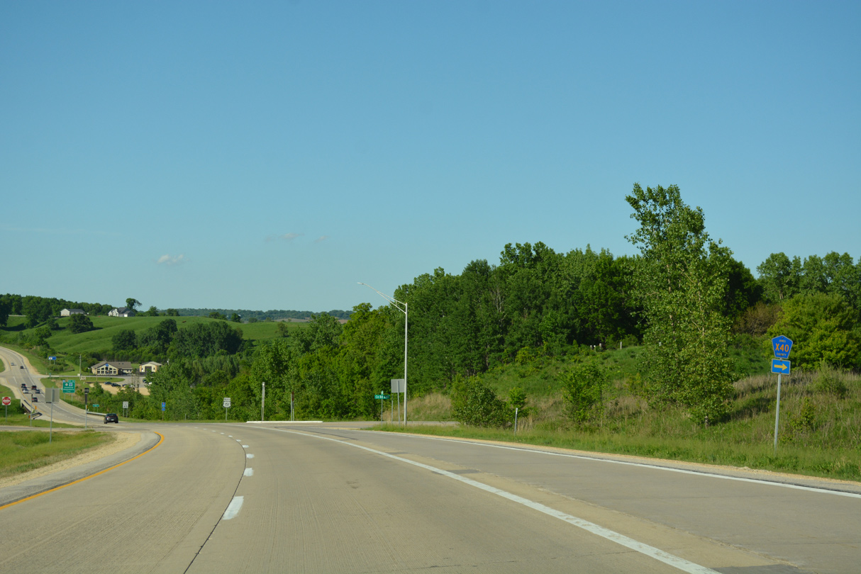
County Road X40 runs 37.2 miles overall south to U.S. 6 at West Liberty.
05/26/18
North from CR X40, U.S. 151 spans the Wapsipinicon River.
05/26/18
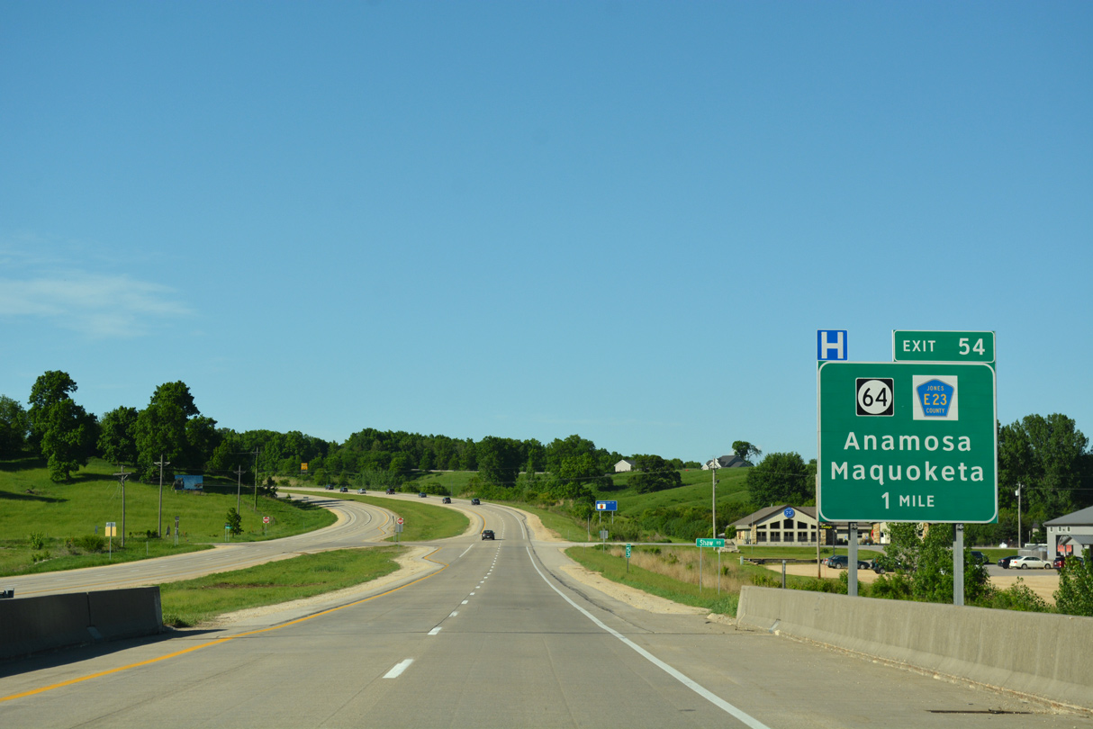
A parclo interchange (Exit 54) joins U.S. 151 with Iowa 64 east and CR E28 (signed incorrectly as CR E23 here) west in one mile.
05/26/18
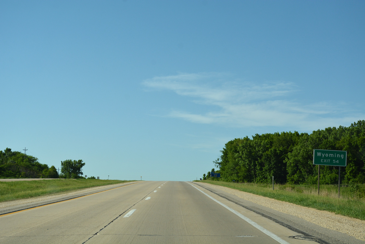
Iowa 64 is a rural highway traveling east across Jones County to the city of Wyoming.
05/26/18
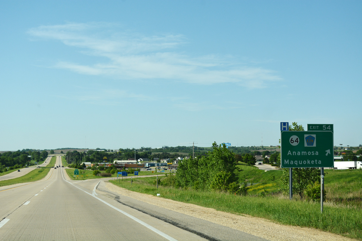
A multi state route to Chicago, Illinois, Iowa 64 commences its 64.2 mile route to the Mississippi River from U.S. 151 at Anamosa.
05/26/18
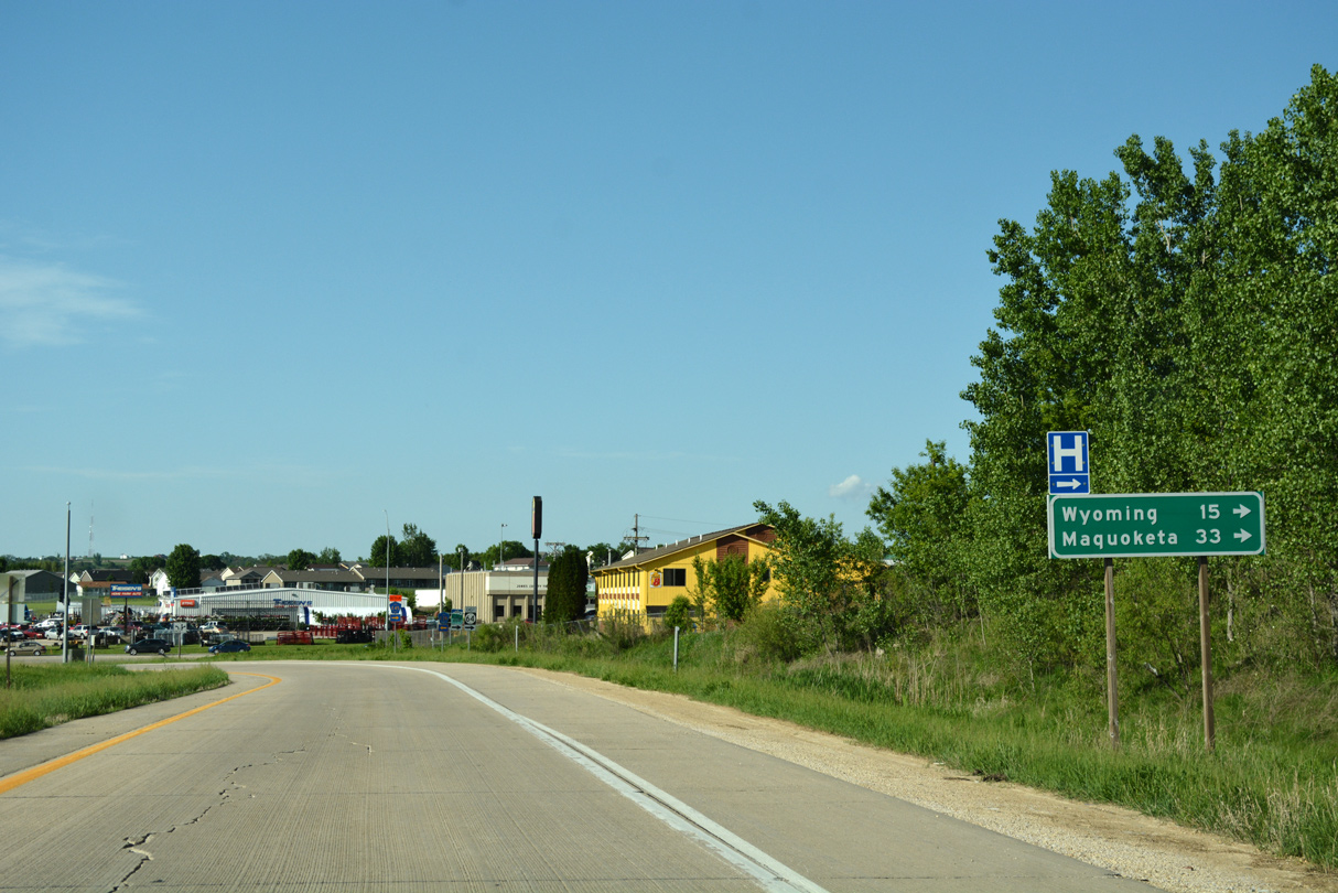
Maquoketa, the seat of Jackson County, is 33 miles to the east along Iowa 64 at U.S. 61.
05/26/18
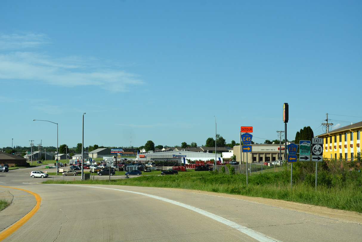
CR E28 heads west from Iowa 64 and U.S. 151 along E 3rd Street toward Downtown Anamosa.
05/26/18
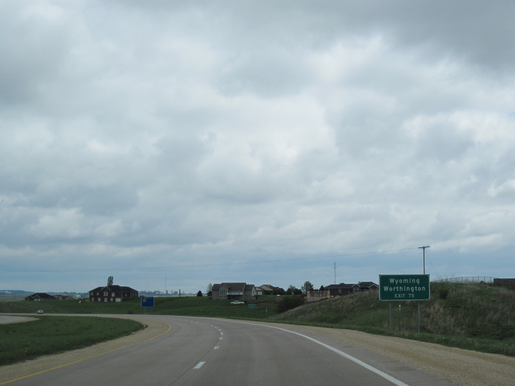
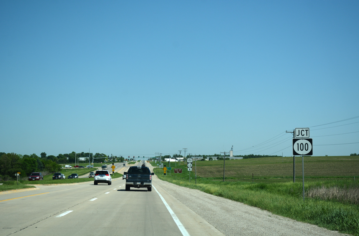
U.S. 151 splits with U.S. 151 Business (248th Street) for a freeway bypass along the north side of Cascade. The forthcoming exchange joins U.S. 151 with Iowa 136 north to Worthington and south to Wyoming.
05/08/10
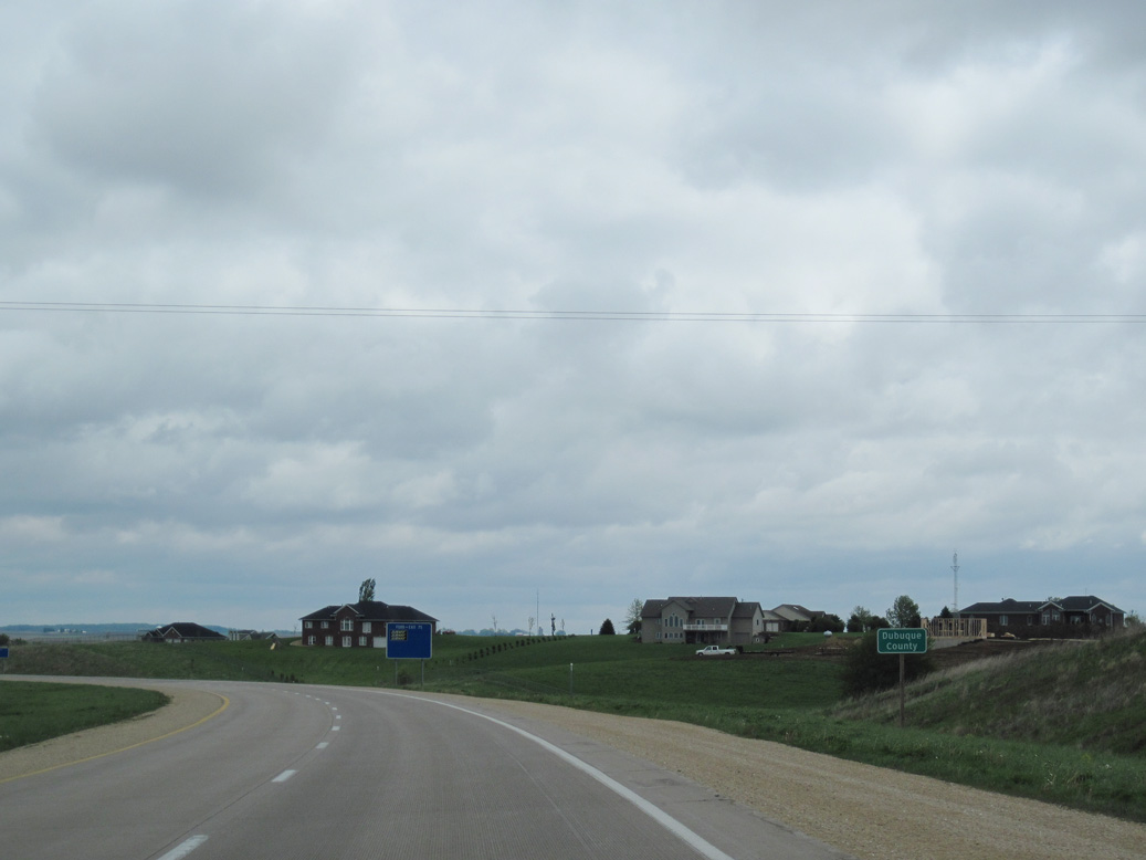
U.S. 151 enters Dubuque County on the outskirts of Cascade.
05/08/10
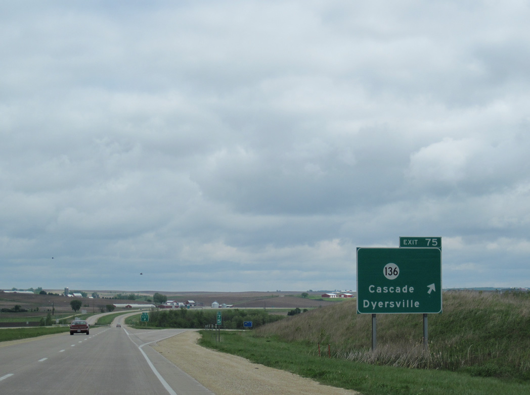
A folded diamond interchange (Exit 75) connects U.S. 151 with Iowa 136 (Johnson Street) north of Downtown Cascade.
05/08/10
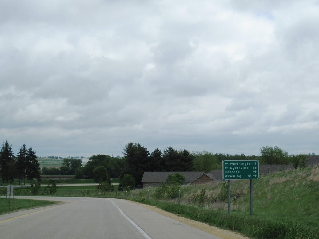
Iowa 136 meanders 15 miles north to Dyersville and south 18 miles to Wyoming via Onslow.
05/08/10
Photo Credits:
- Alex Nitzman: 03/28/16, 05/26/18
- Alex Nitzman, Jeff Morrison: 05/26/18
- Alex Nitzman, Bill Gatchel: 03/25/16
- ABRoads: 05/08/10
Connect with:
Page Updated Thursday December 19, 2019.