
U.S. 192/441 East - Kissimmee to Holopaw

U.S. 192/441 commence a 24.5 mile long overlap east to Holopaw.
04/24/19
Oak Street arcs northeast from Lawrence Silas Boulevard to intersect U.S. 192/441 (Vine Street) opposite Michigan Avenue. Michigan Avenue south from Osceola Parkway (CR 532). Started in January 2016, a $9.5 million, year long project widened Oak Street to four lanes from Vine Street southwest to Main Street.1
04/24/19
Denn John Lane leads north to the Osceola Campus of Valencia College, Denn John Community Park and a pair of schools to Mill Slough Road.
04/24/19
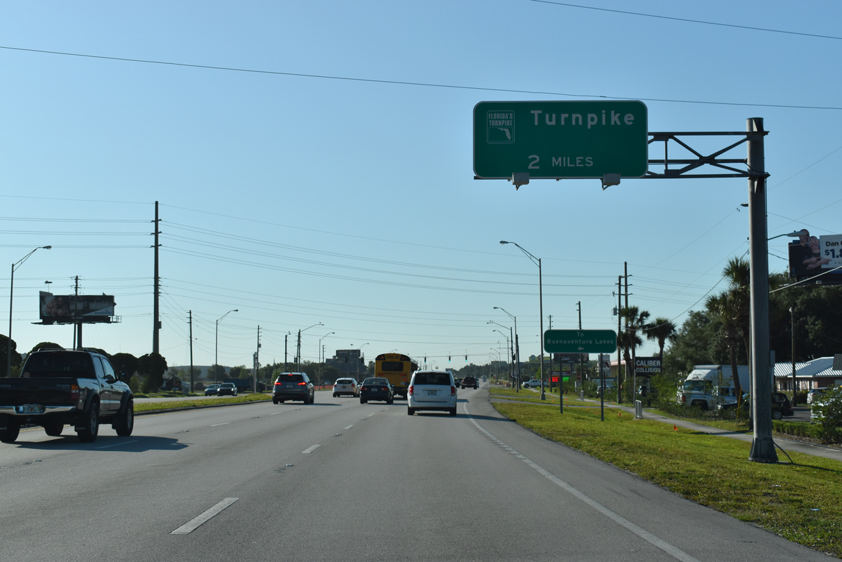
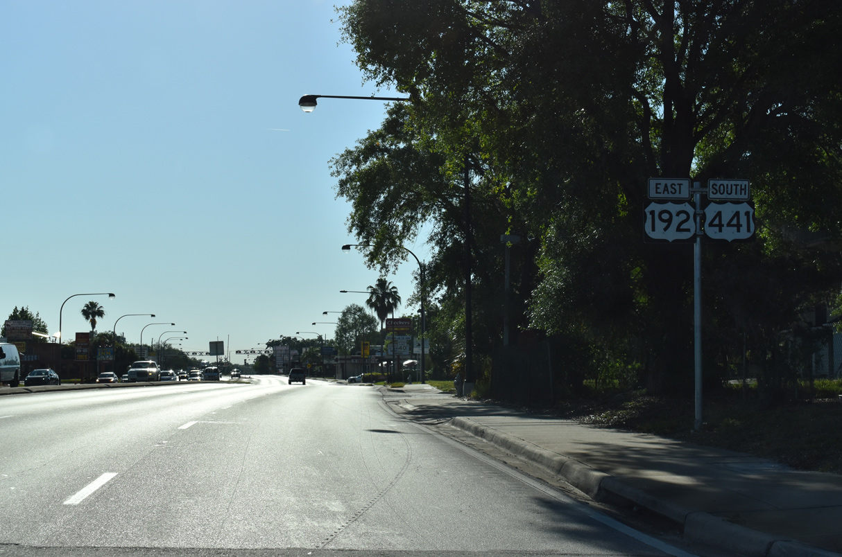
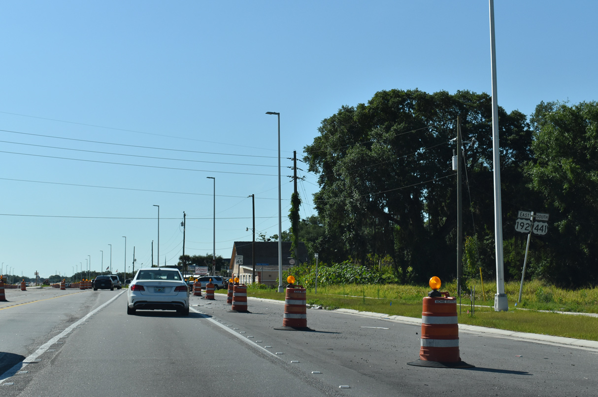
Turning southeast toward the ramps with Florida's Turnpike, U.S. 192/441 (Irlo Bronson Memorial Highway) leave the Kissimmee city limits.
04/24/19
Fortune Road branches northeast from U.S. 192/441 to become part of unsigned CR 530 at nearby Old Boggy Creek Road. CR 530 angles northeast along Simpson Road to Buenaventura Lakes, and along Boggy Creek Road to the Orange County line and CR 15 (Narcoossee Road).
04/24/19
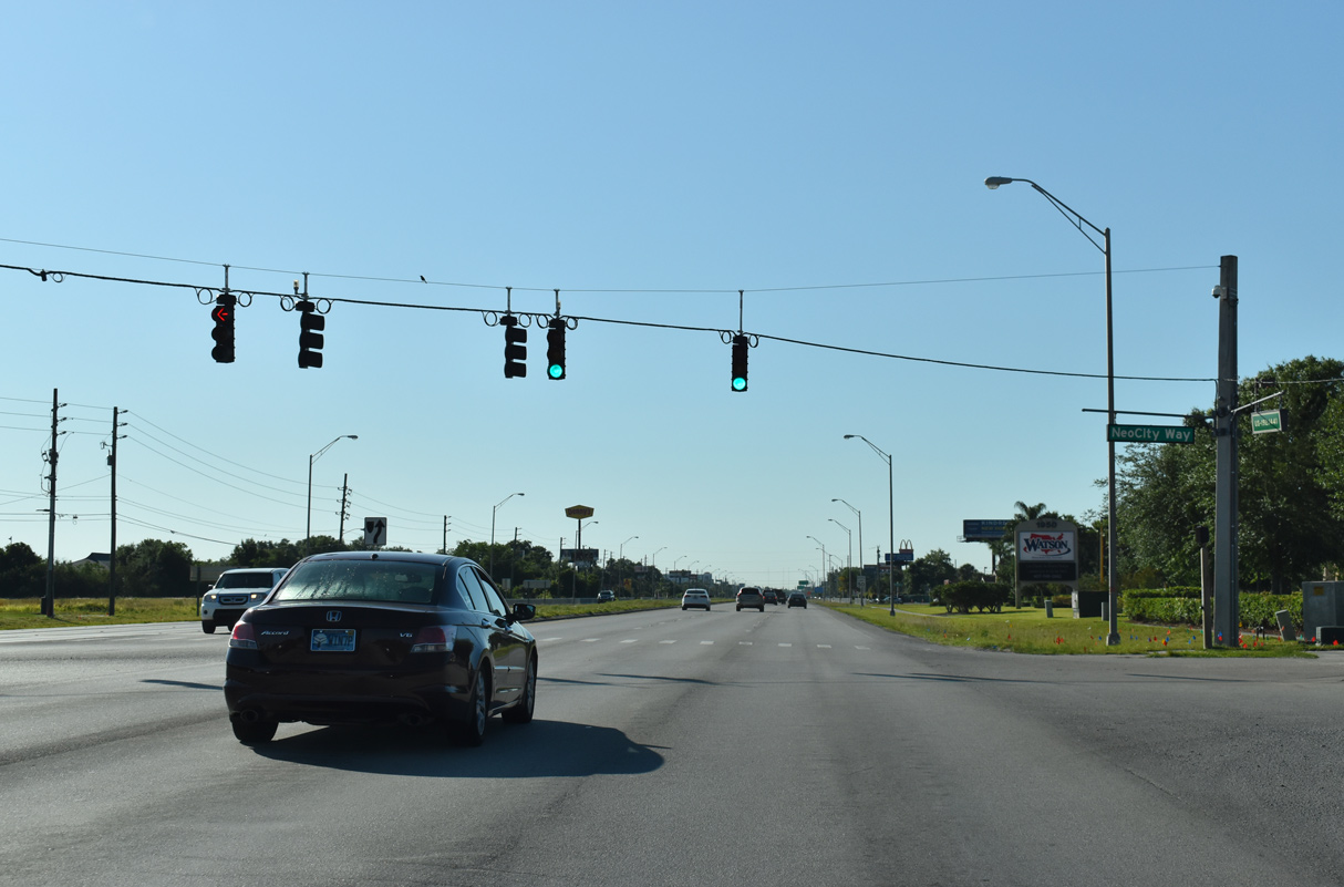
U.S. 192/441 continue from Fortune Road as unsigned SR 500 to NewCityWay west and Bill Beck Boulevard north. Bill Beck Boulevard circles around the back side of Osceola Heritage Park to Gateway High School and Osceola County Stadium.
04/24/19
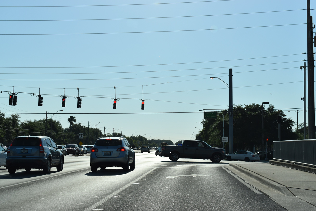
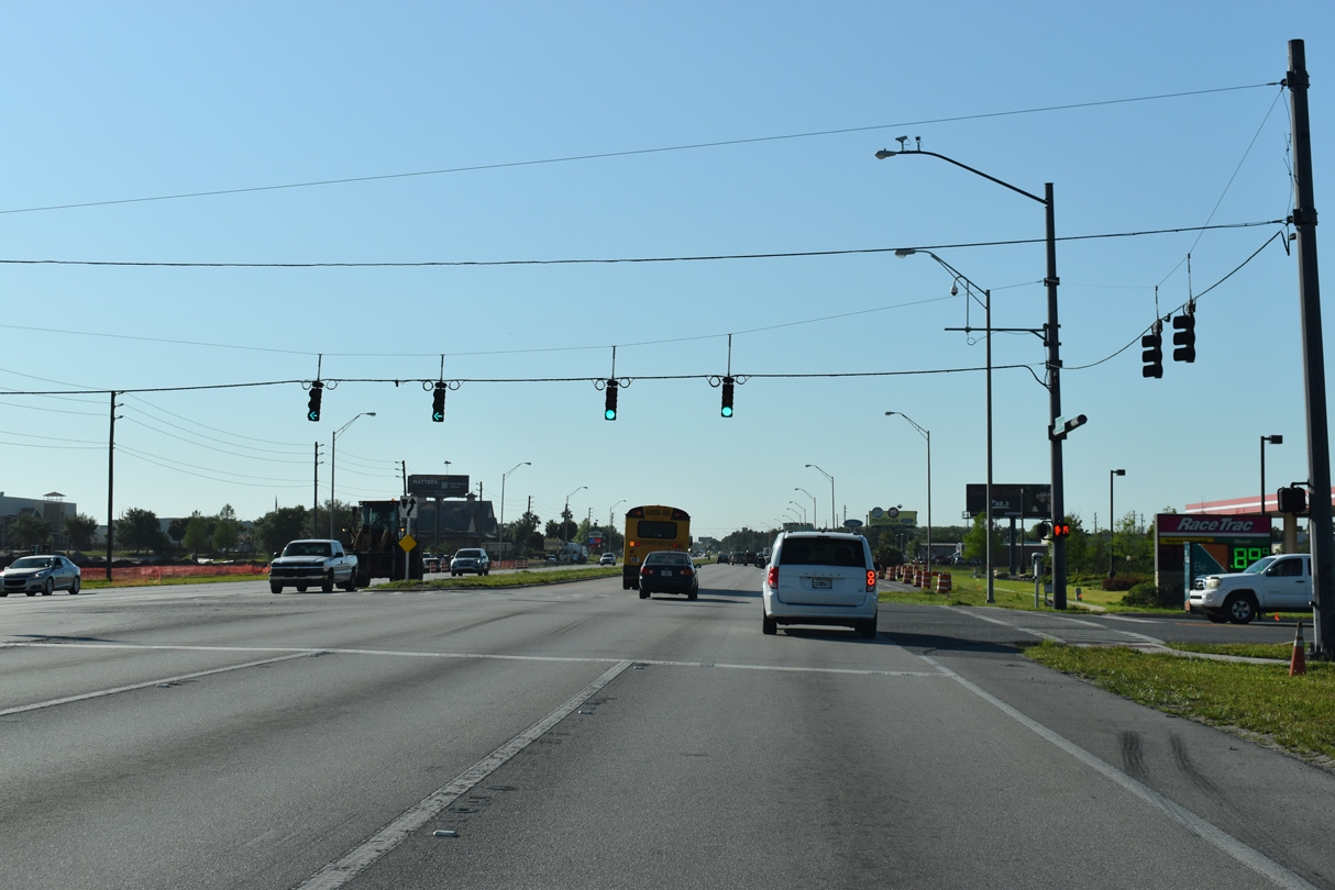
Advancing southeast, U.S. 192/ 441 intersect Simpson Road within a half mile from the Turnpike ramps.
04/24/19
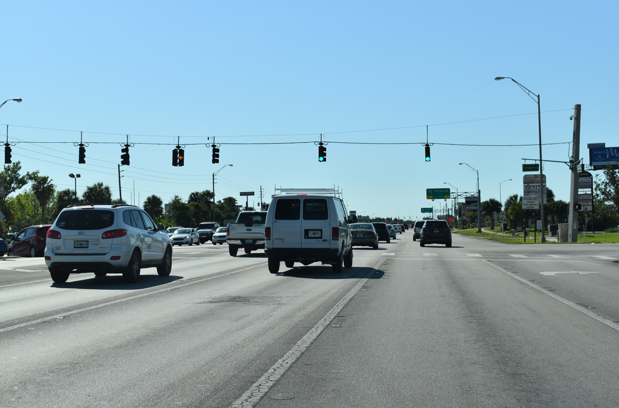
Simpson Road extends 1.28 miles south from Buenaventura Lakes and CR 530 (Fortune Road) to U.S. 192/441 across from Liberty Commons Boulevard.
04/24/19
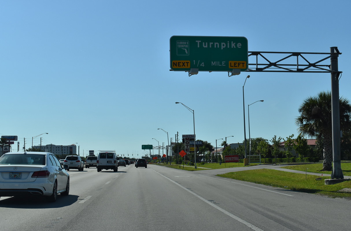
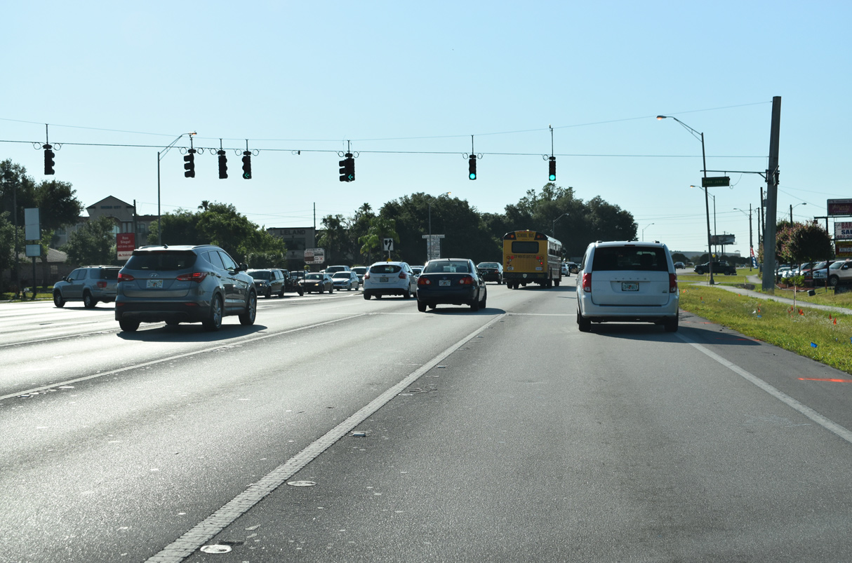
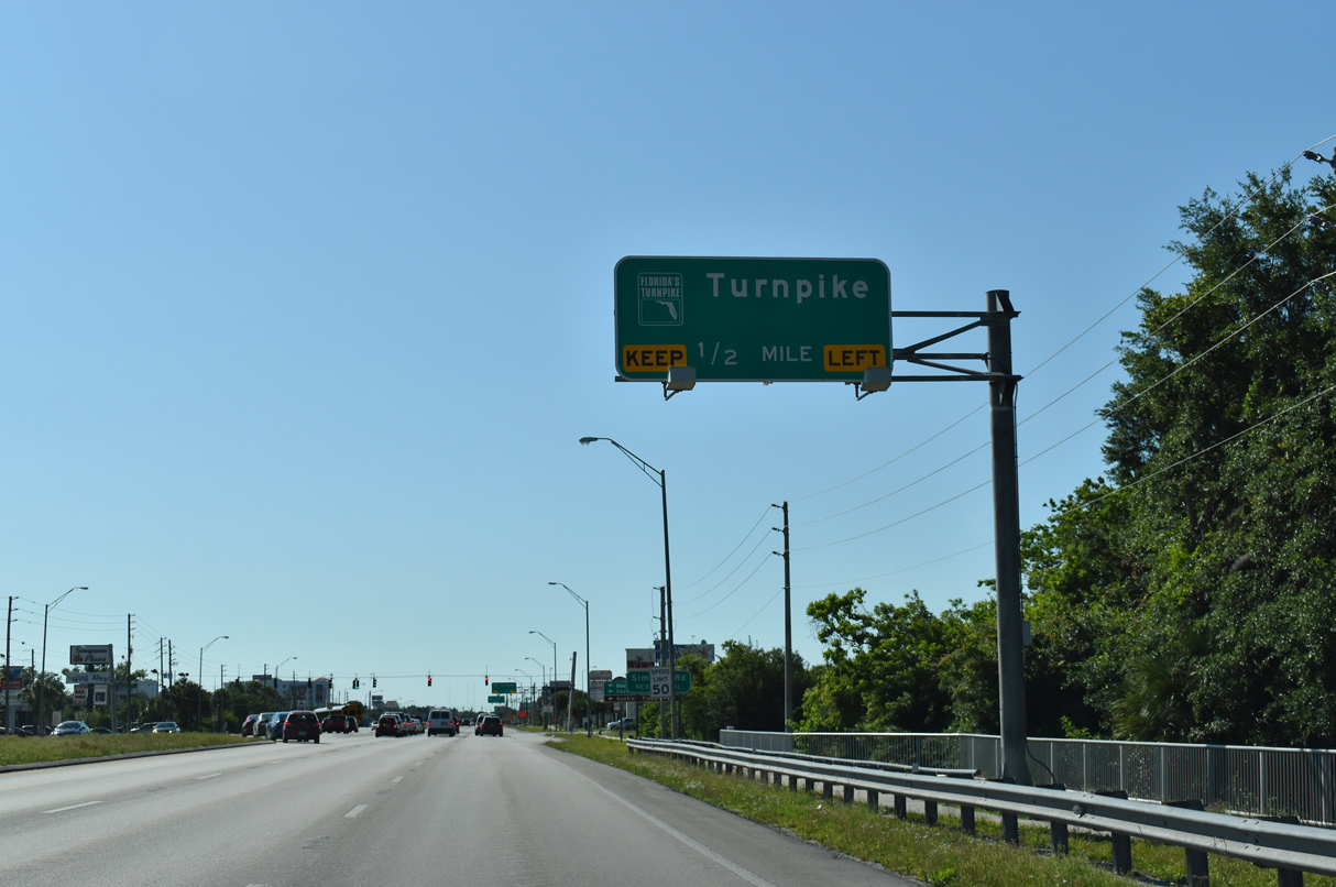
An access road links U.S. 192/441 with Florida's Turnpike north to Orlando and south to Miami.
04/24/19
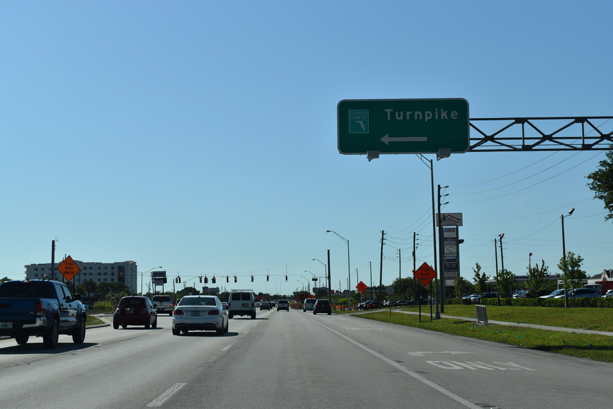
The Turnpike access road ties into U.S. 192/441 across from Cross Prairie Parkway, an arterial built in place of Shady Lane southwest 0.56 miles to Partin Settlement Road (CR 523).
04/24/19
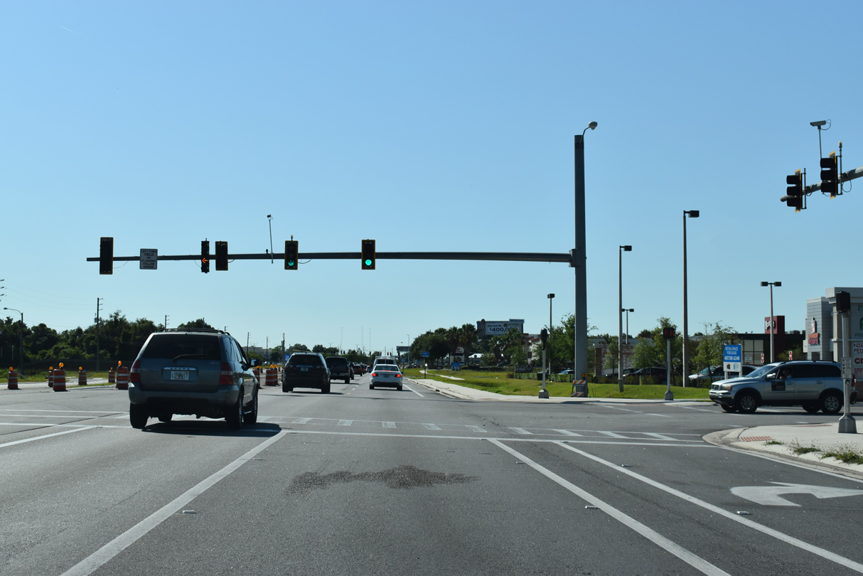
The succeeding traffic light along U.S. 192/441 east is with Academy Drive north to several apartment complexes and Partin Village Shopping Center.
04/24/19
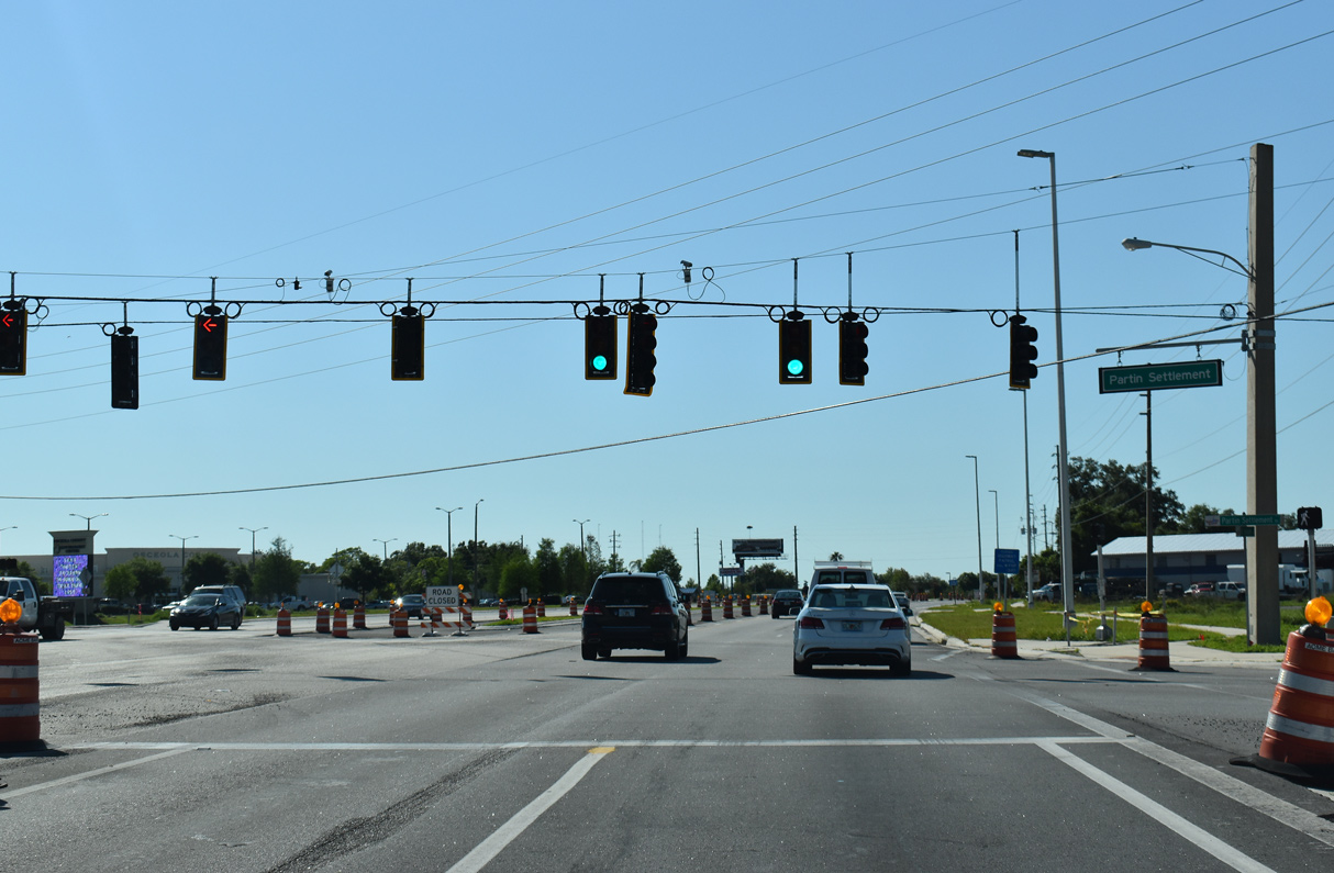
Partin Settlement Road (unsigned CR 523) stems east from Neptune Road (CR 525) to cross U.S. 192/441 en route to the west shore of East Lake Tohopekaliga. CR 523 follows Lakeshore Boulevard southeast into St. Cloud.
04/24/19
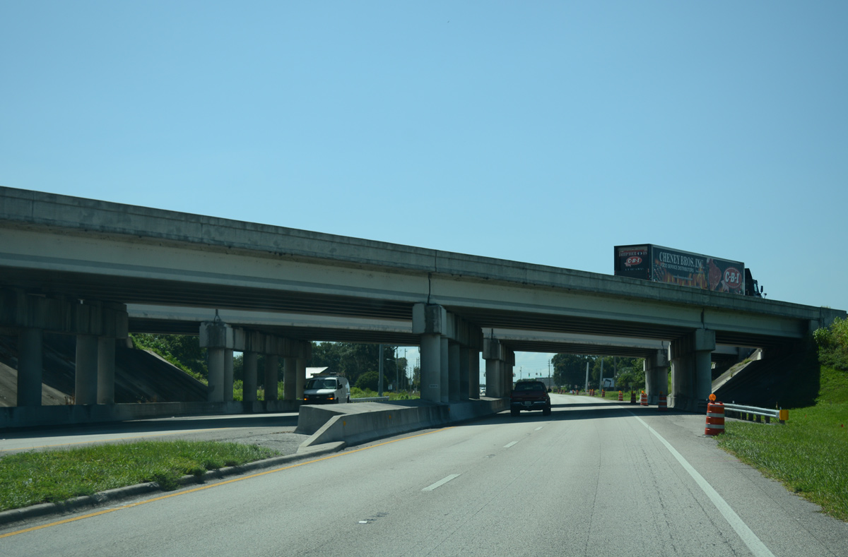
Florida's Turnpike crosses over U.S. 192/441 east of Fish Lake. Exit 242 from the Turnpike north was added here to replace the ramp further north at Exit 244.
07/27/16
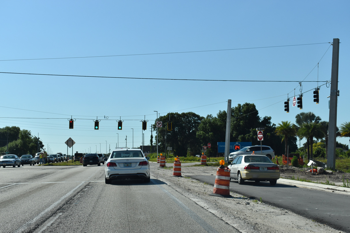
The signalized intersection with the northbound exit from the Turnpike was expanded to accommodate a new shopping center built along the north side of U.S. 192/441.
04/24/19
U.S. 192/441 (Irlo Bronson Memorial Highway) proceed a half mile southeast from the Turnpike into the city of St. Cloud at St. Cloud Canal.
04/24/19
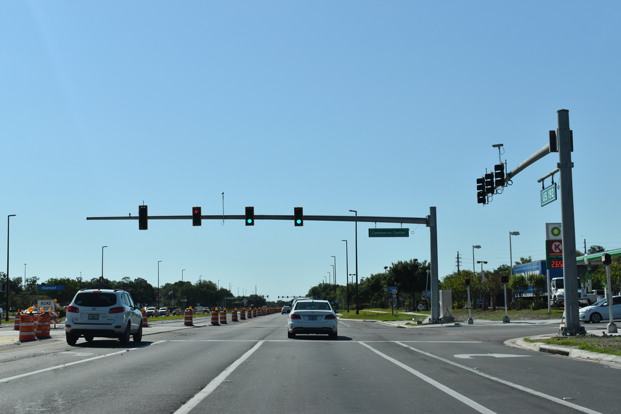
Commerce Center Drive intersects U.S. 192/441 south from two big box stores opposite Sergeant Graham Drive north from Neptune Road (CR 525) and a pair of apartment complexes.
04/24/19
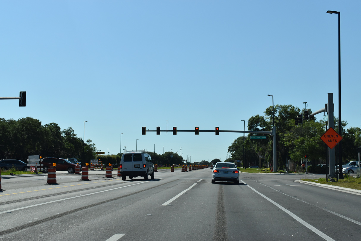
Old Canoe Creek Road heads south between a pair of shopping centers at U.S. 192/441 to become a part of CR 525 beyond Neptune Road (CR 534). The southern leg of CR 535 leads to Kissimmee Park on Lake Tohopekaliga.
04/24/19
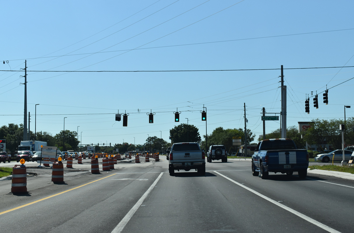
Neptune Road (unsigned CR 534) east converges with U.S. 192/441 at Brown Chapel Road north. Neptune Road is the original alignment of U.S. 192 between Kissimmee and St. Cloud.
04/24/19
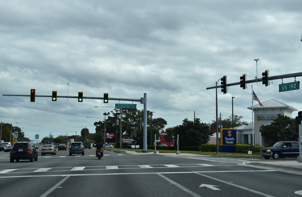
U.S. 192/441 previously expanded to six lanes east along 13th Street from the signal with Budinger Avenue north and Columbia Avenue south. Columbia Avenue heads north 1.03 miles to E Lakeshore Boulevard (CR 523).
12/05/21

Tennessee Avenue connects U.S. 192/441 (13th Street) with the St. Cloud residential street grid.
12/05/21
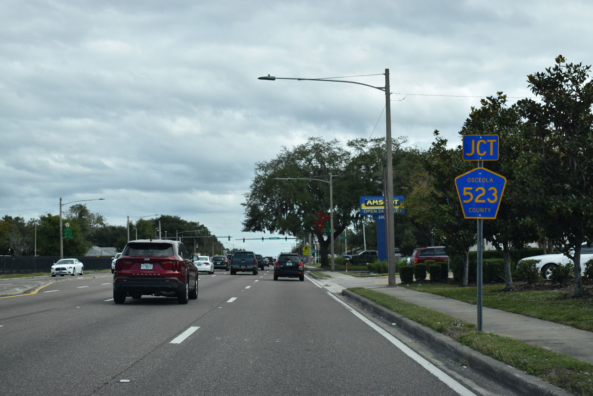
U.S. 192/441 (13th Street) continue four blocks east to intersect the southern branch of County Road 523 (Vermont Avenue).
12/05/21
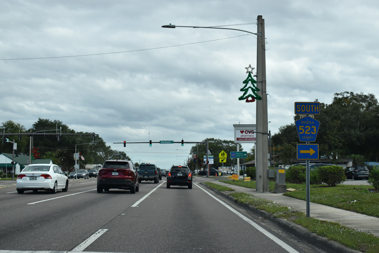
Vermont Avenue extends 0.9 miles north as unsigned CR 523 to E Lakeshore Boulevard and Lakefront Park.
12/05/21
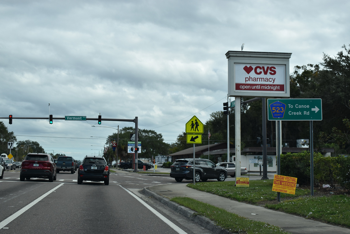
CR 523 (Vermont Avenue) south transitions into Canoe Creek Road in four blocks. Continuing through fast growing areas of south St. Cloud, CR 523 parallels Florida's Turnpike to U.S. 441 at Kenansville.
12/05/21
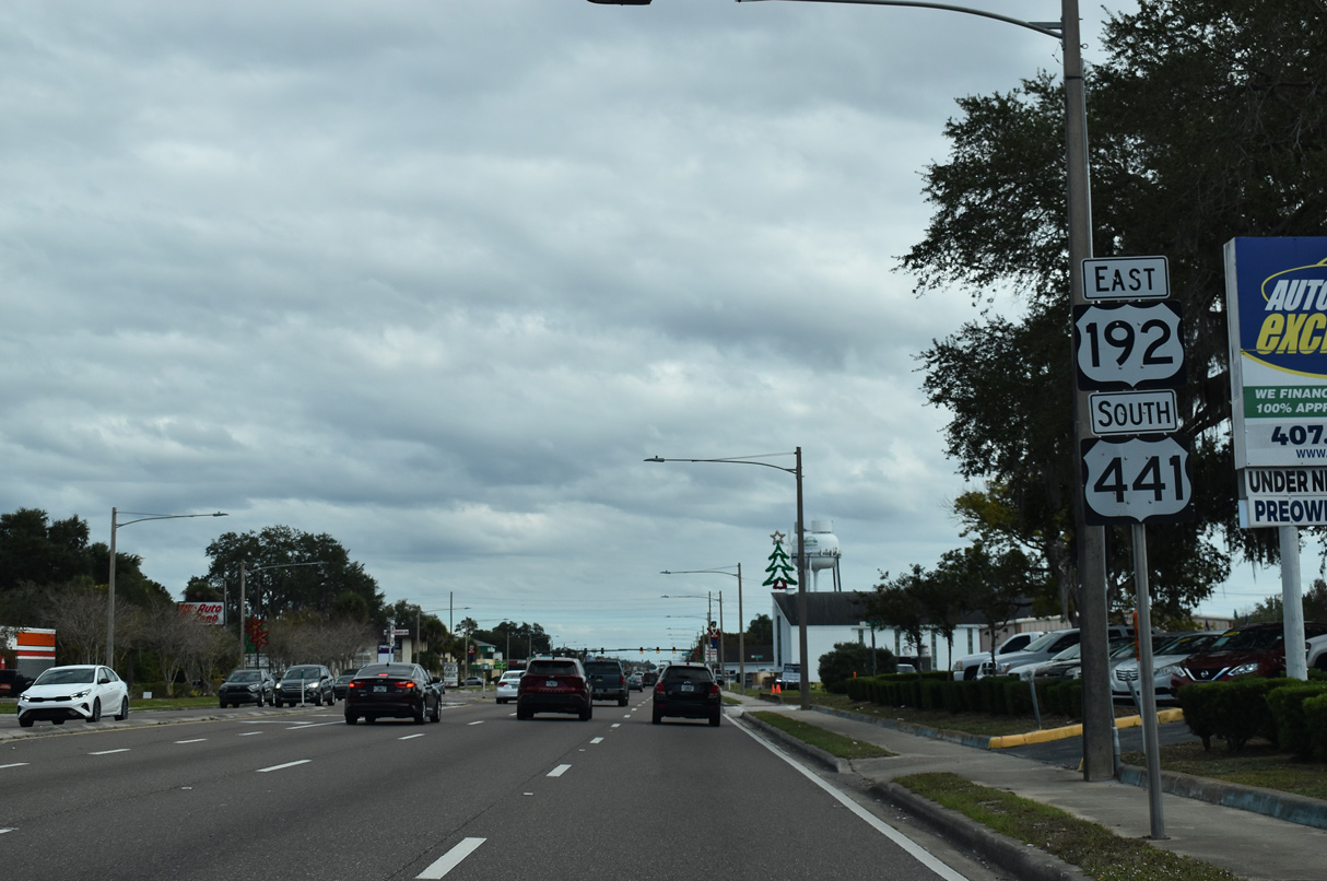
Confirming markers for U.S. 192/441 posted east of CR 523 along 13th Street.
12/05/21
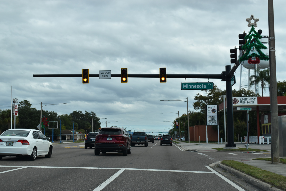
Emergency signals operate at 13th Street and Minnesota Avenue.
12/05/21
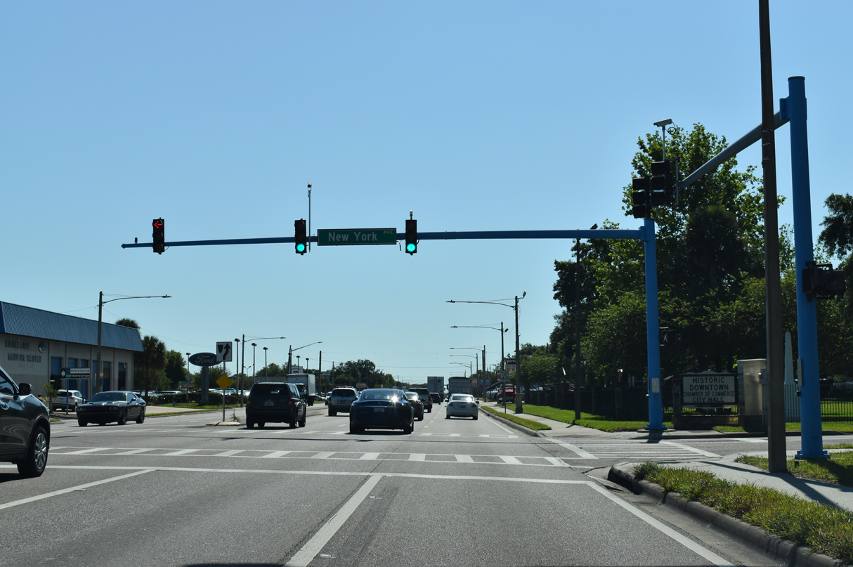
New York Avenue heads four blocks north from 13th Street to St. Cloud City Hall.
04/24/19
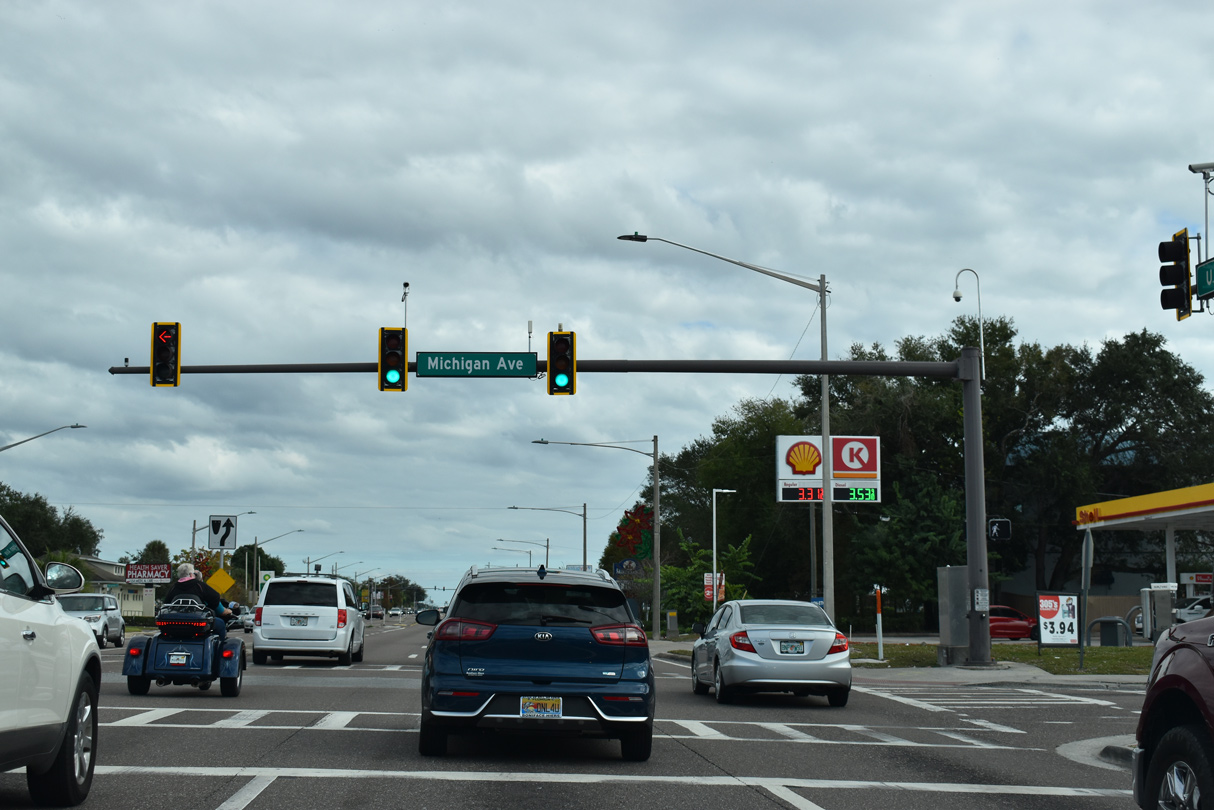
Michigan Avenue in St. Cloud stems 0.88 miles south from E Lakeshore Boulevard (CR 523) to U.S. 192/441 (13th Street) ahead of three schools and newer suburban areas in south St. Cloud.
12/05/21
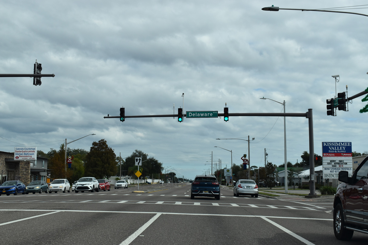
The state street name theme in St. Cloud continues at the ensuing signal along U.S. 192/441 east at Delaware Avenue.
12/05/21
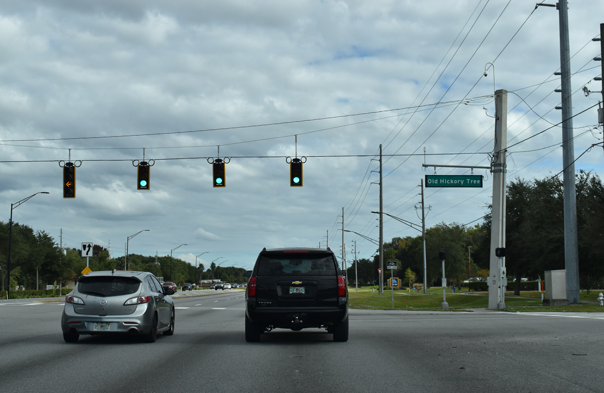
Old Hickory Tree Road is an unsigned branch of CR 534, 1.75 miles south from E 10th Street (CR 534) to Nolte Road.
12/05/21

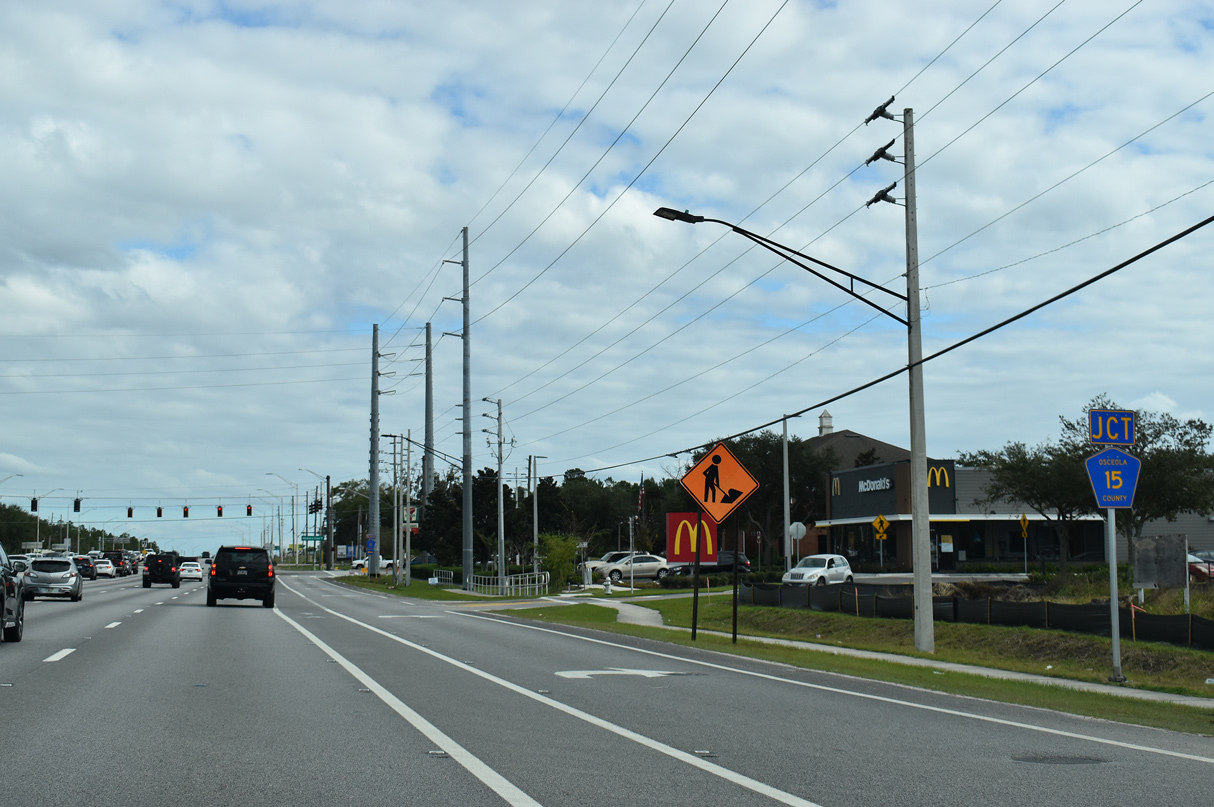
Forthcoming CR 15 (Narcoossee Road) is an arterial route running east of East Lake Tohopekaliga to Runnymeade, Narcoossee and the Lake Nona area of southeast Orlando.
12/05/21
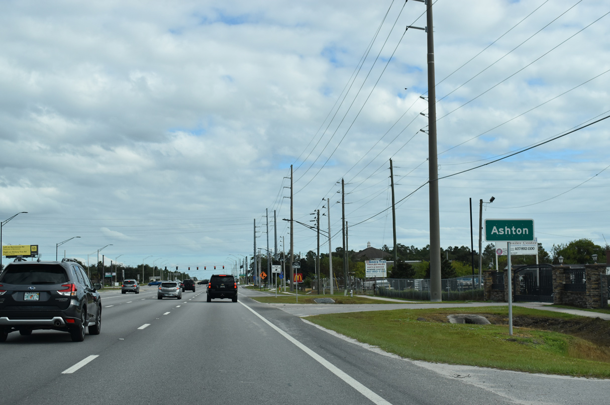
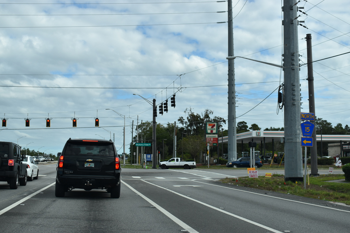
Ashton is the original name for the junction of U.S. 192/441 with County Road 15 (Narcoossee Road) north. Annexations placed the area wholly within St. Cloud.
12/05/21
CR 15 (Narcoossee Road) heads 7.40 miles north from U.S. 192/441 in St. Cloud to the Orange County line and 14.98 miles to SR 528 (Beachline Expressway) east of MCO Airport.
12/05/21
Expansion of CR 15 north to the county line in 2011 transitioned Narcoossee Road from a rural two lane highway into a four lane divided arterial. Narcoossee Road further expands in Orlando to six lanes from CR 530 (Boggy Creek Road) north to SR 417 (Central Florida Greeneway).
12/05/21
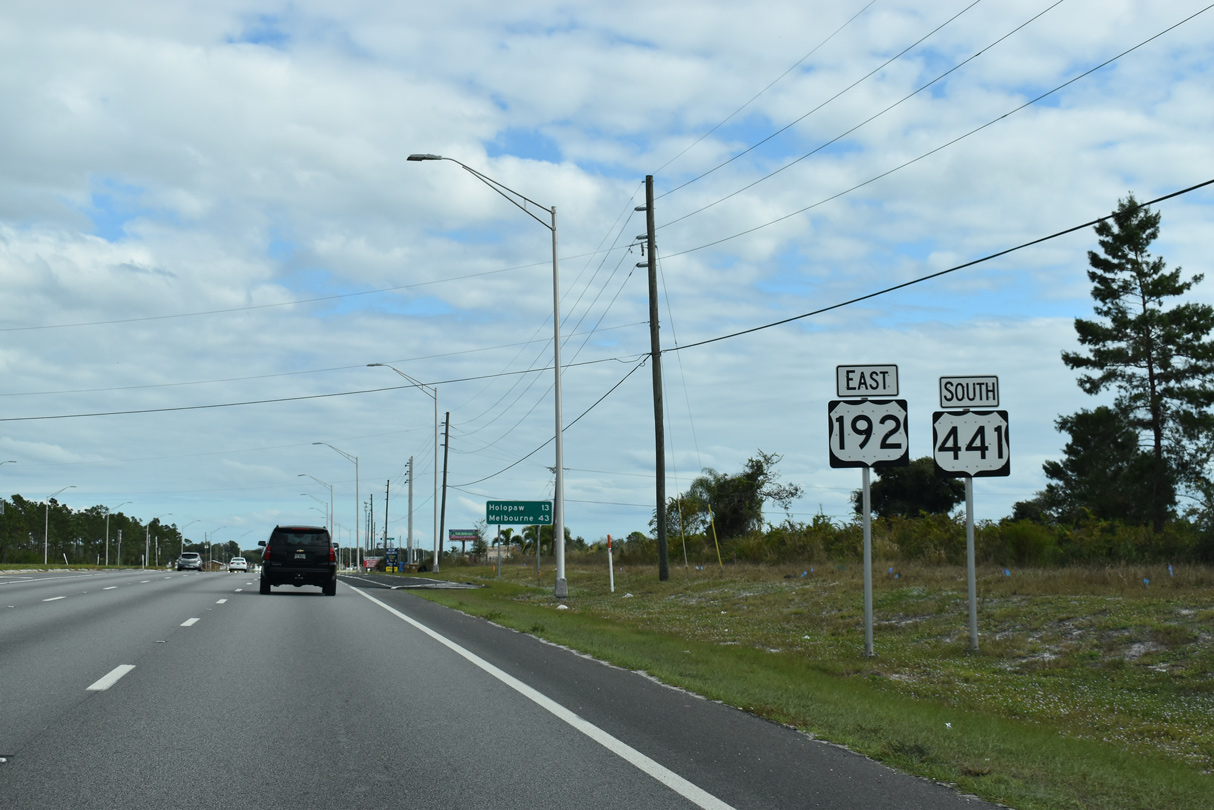
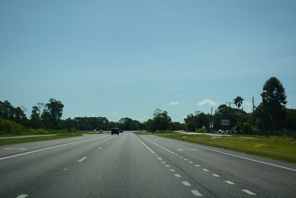
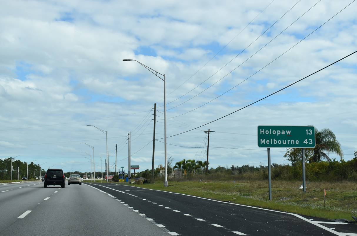
Southeast from CR 15 and St. Cloud, U.S. 192/441 partition at Holopaw in 13 miles. U.S. 192 (unsigned SR 500) proceeds 30 miles from there to Melbourne on the Space Coast.
12/05/21
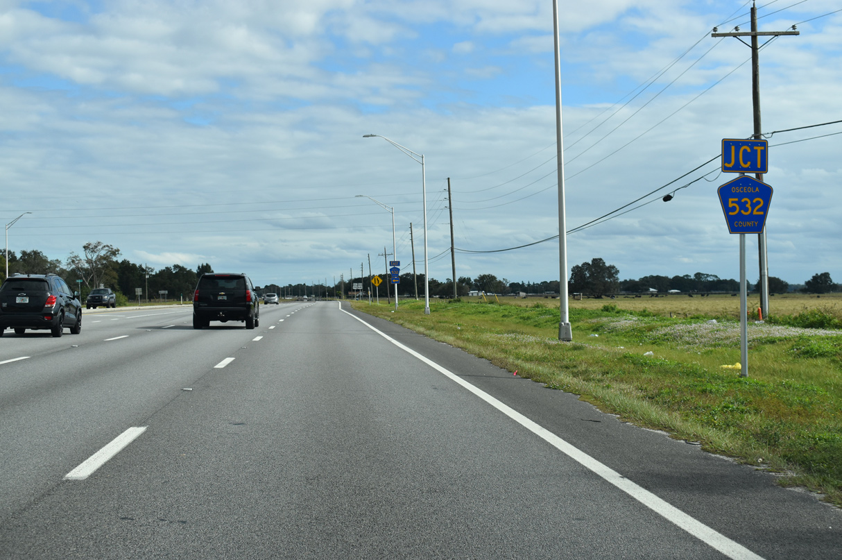
The eastern branch of CR 532 follows Nova Road from U.S. 192/441 to the rural communities of Pine Grove and New Eden. CR 532 bee lies east from there along a causeway like road across Econlockhatchee River Swamp and Fourmile Swamp.
12/05/21
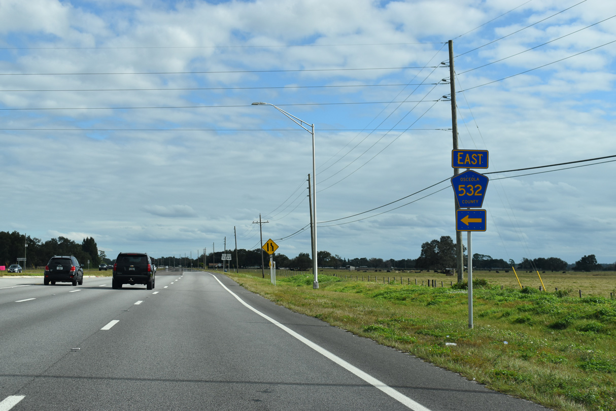
CR 532 (Nova Road) measures 26.52 miles overall from U.S. 192/441 to SR 520 in rural southeast Orange County. Nova Road provides a fast and lightly traveled route to Cocoa on the Space Coast. Traffic signals were added here in 2023.
12/05/21
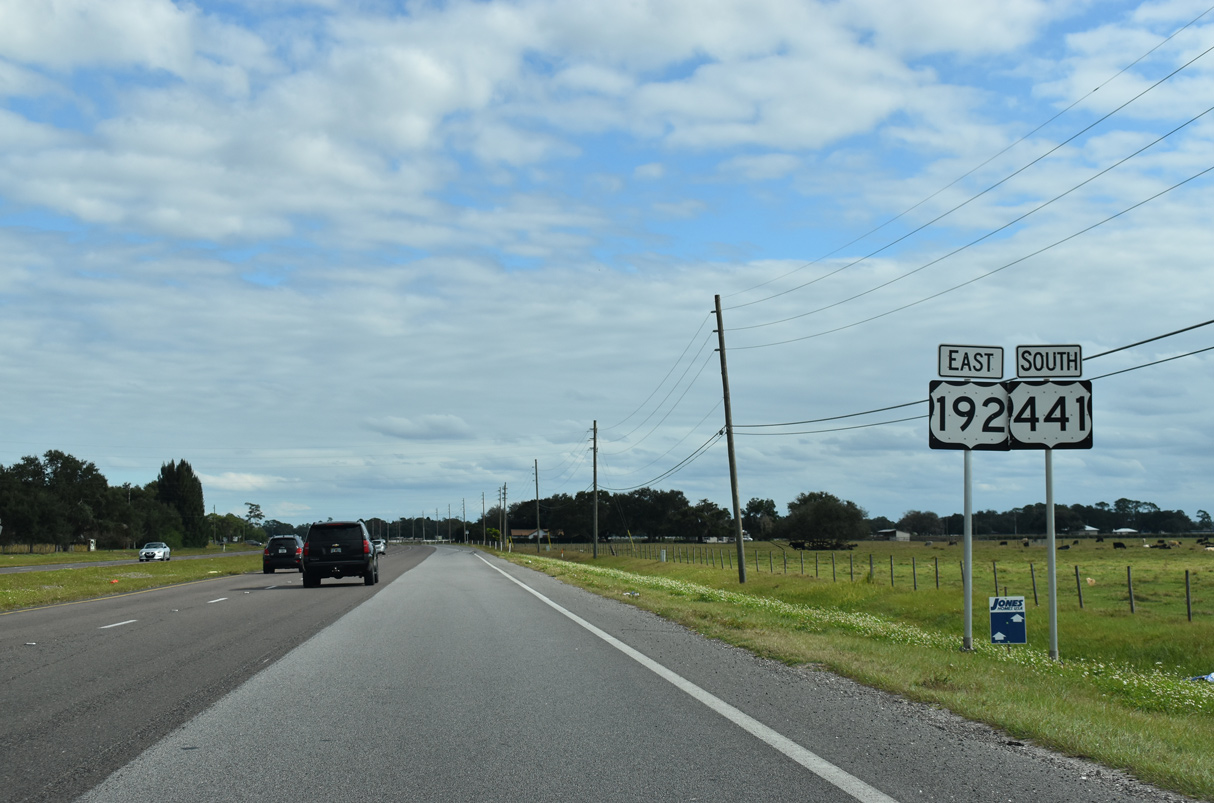
Completed in 2016, the six lane section for U.S. 192/441 concludes east at CR 532 (Nova Road).
12/05/21
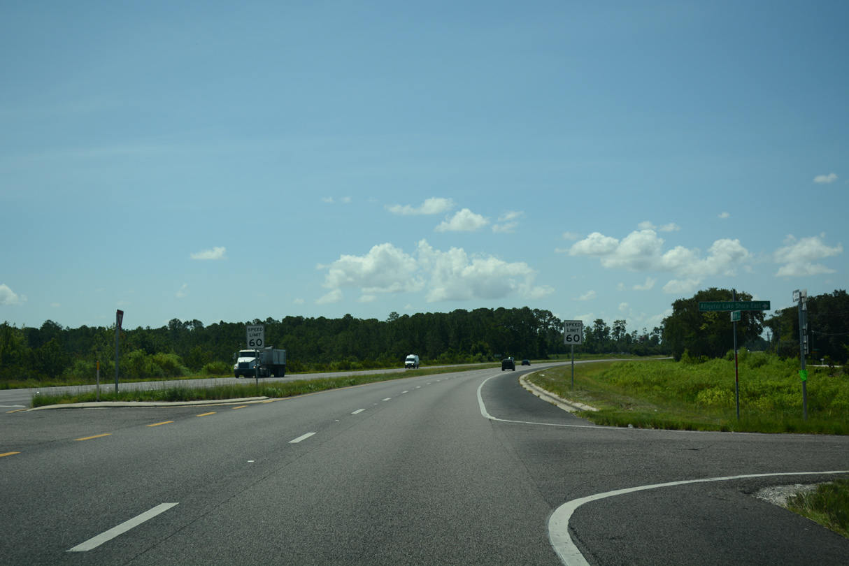
Four lane expansion of U.S. 192/441 included a realignment on the isthmus separating Alligator Lake and Lake Lizzie. The former roadway was repurposed as a service road (Alligator Lake Shore W) for area residences facing Alligator Lake.
07/27/16

Alligator Lake Shore E, the eastern section of old U.S. 192/441, is discontinuous from Alligator Lake Shore W to vehicular traffic. A pedestrian bridge links the two frontage roads over the C-32G Canal joining Alligator Lake and Lake Lizzie.
12/05/21
07/27/16
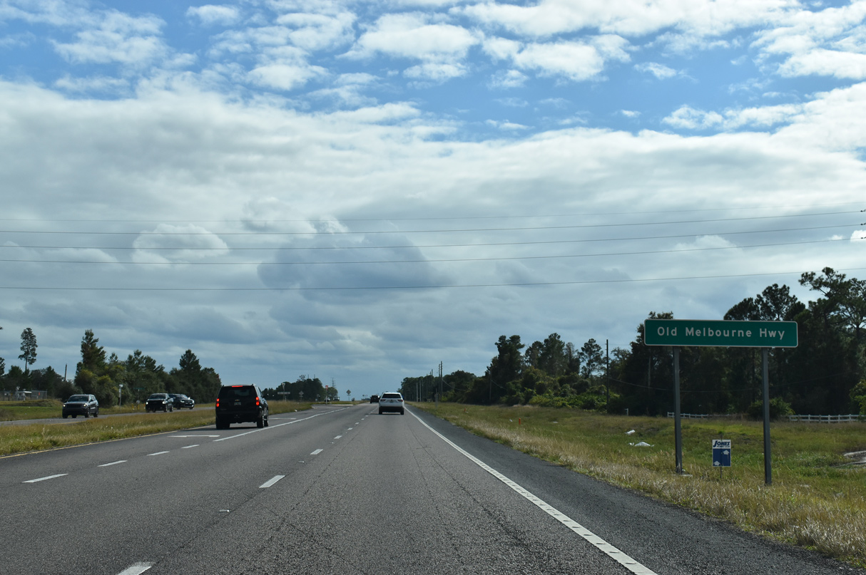
Old Melbourne Highway (unsigned CR 500A) spurs 4.22 miles east from U.S. 192/441 to Lake Conlin, Cat Lake and Lake X Airport (57FA). Lake X is the informal name given to Lake Conlin by Mercury Marine, a company that used to test speed boats on the lake until relocating to a new site. The Lake X property is part of the 10,426 acre ranch owned by the Kenneth Kirchman Foundation.¹ Traffic signals were added here by April 2025.
12/05/21

A straight away takes U.S. 192/441 southeast between Alligator and Buck Lakes. Development of Harmony West got underway along this stretch in 2018. As such, a traffic light was installed at the intersection with Botanic Boulevard. It was scheduled to be fully operational on August 21, 2025 (Osceola County, 2025).
12/05/21
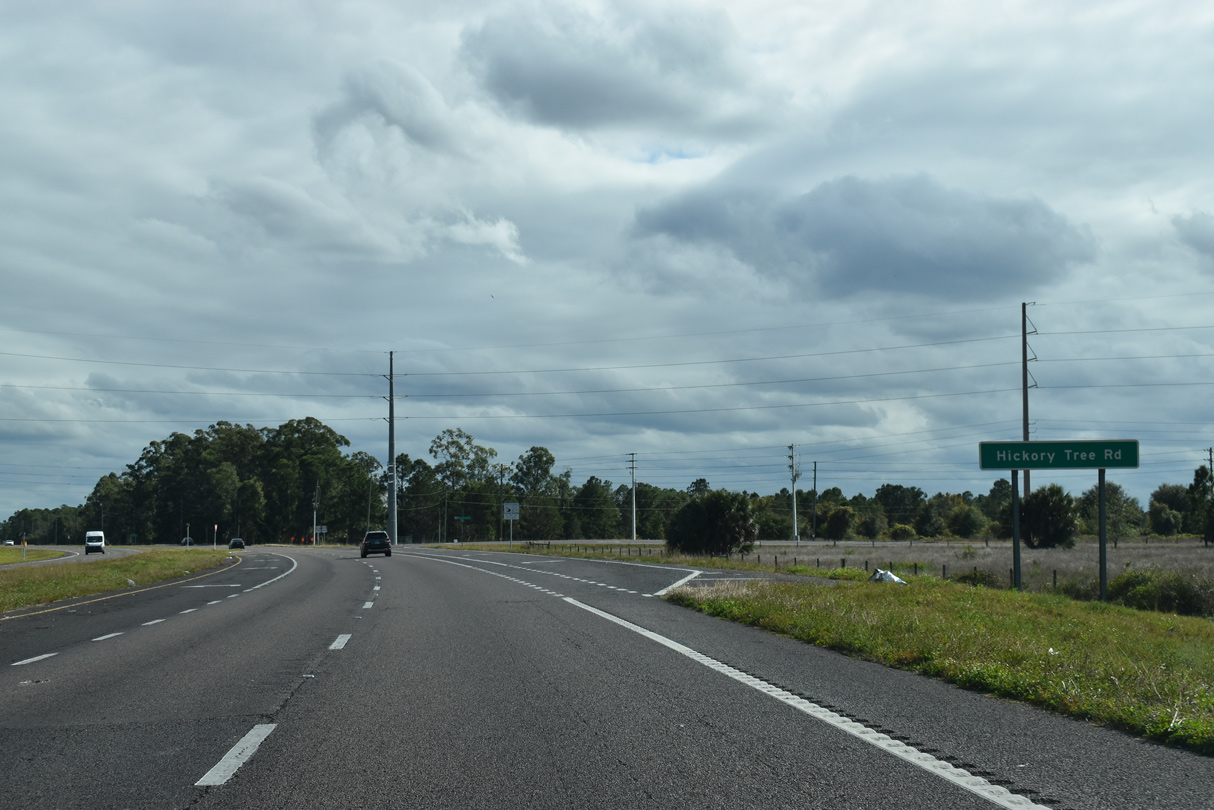
Previously intersecting U.S. 192/441 along Old Hickory Tree Road in St. Cloud, unsigned CR 534 (Hickory Tree Road) loops 11.8 miles south around Alligator Lake to conclude at U.S. 192/441 near Harmony.
12/05/21
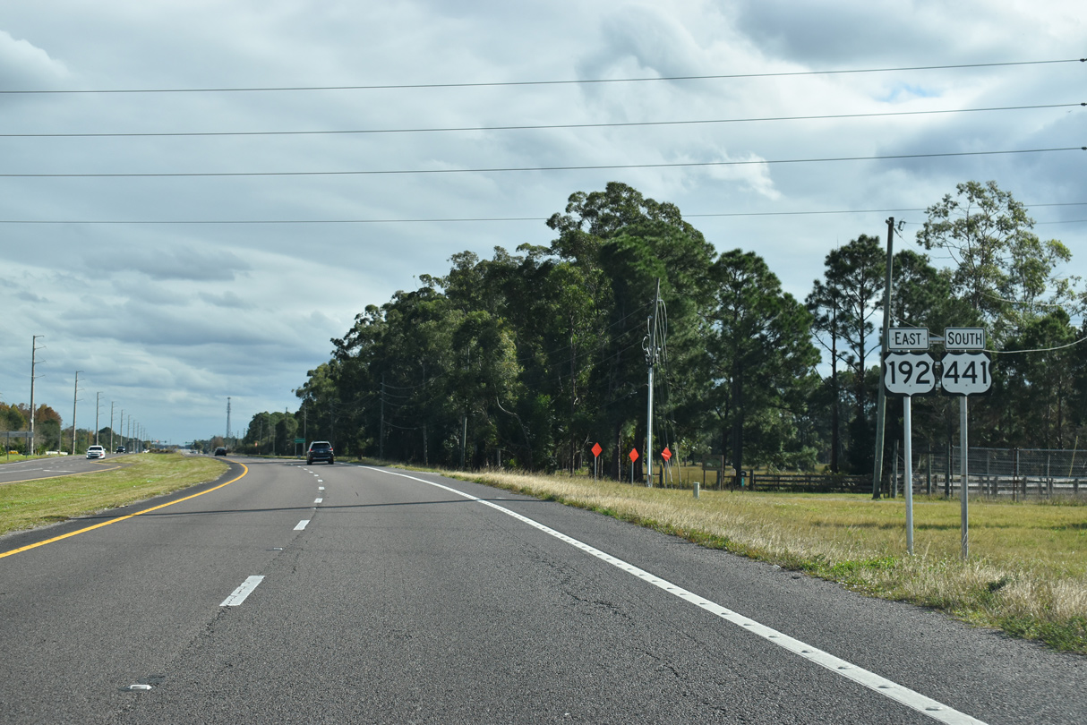
East from Hickory Tree Road (CR 534), U.S. 192/441 was four laned by early 2008 to accommodate the master planned community of Harmony.
12/05/21
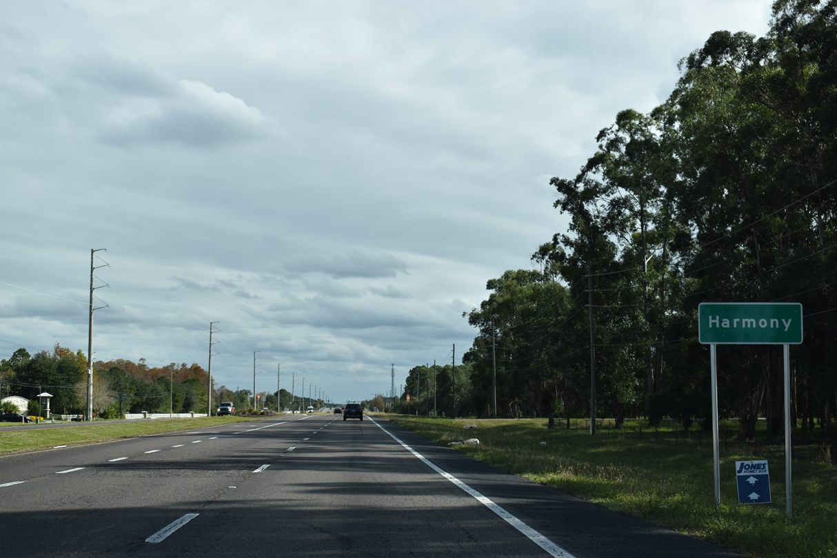
Harmony was established in 2003. The motto of the master planned development was "in harmony with nature", reflecting the community philosophy of peaceful coexistence between humans and wild animals ("Harmony, Florida", 2013). Harmony includes a golf course and several subdivisions between U.S. 192/441 and Buck Lake.
12/05/21
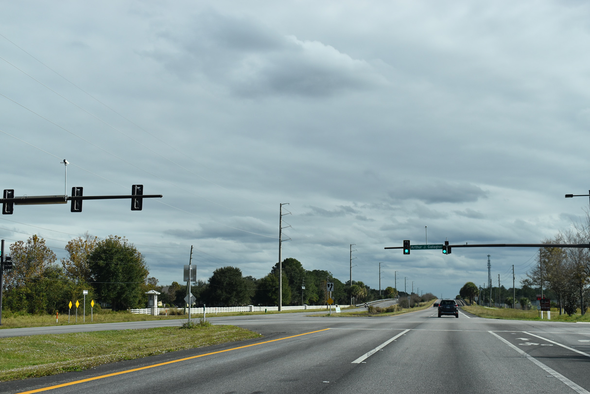
A traffic light operates along U.S. 192/441 at Arthur J. Gallagher Boulevard, the entrance road to Harmony High School. A pedestrian underpass connects the school with residential areas to the north.
12/05/21

Development of a housing community got underway along a 249 acre tract between U.S. 192/441 (Irlo Bronson Memorial Highway) and Jug Creek Swamp in 2021.
12/05/21
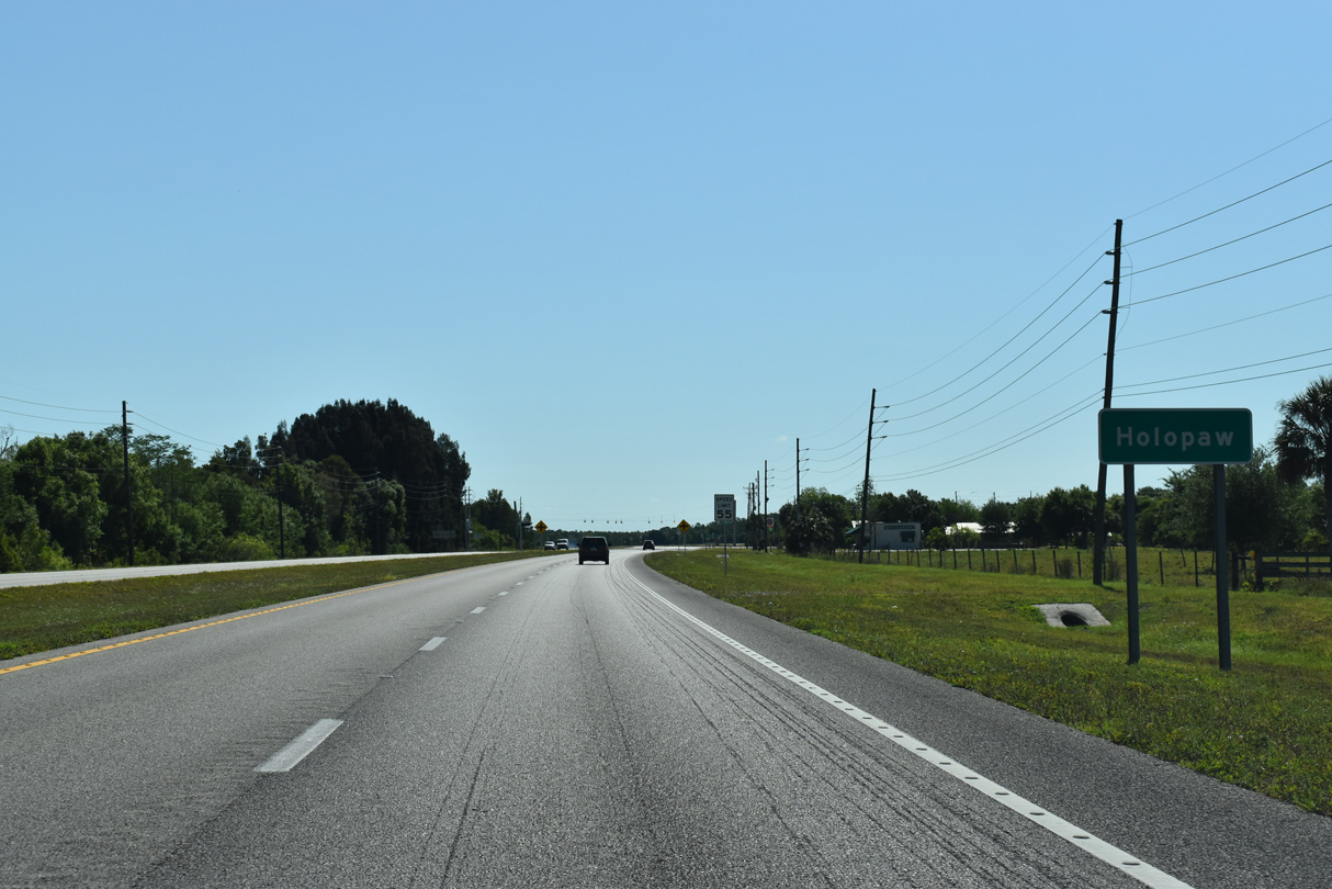
U.S. 192/441 south reach the community of Holopaw east of Big Bend Swamp. With names derived from mythology and state capitals, a rural street grid ties into both routes beyond their separation.
04/24/19

U.S. 441 turns south from U.S. 192 along Holopaw Road to Kenansville en route to SR 60 and Florida's Turnpike at Yeehaw Junction in southern Osceola County.
04/24/19
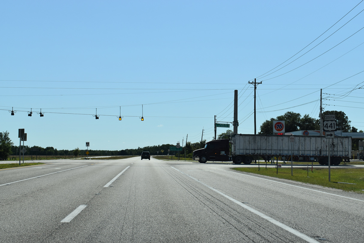
U.S. 192 continues east along a four lane highway to Melbourne and concludes in 32.16 miles at SR A1A at Indialantic. U.S. 441 travels 67 miles south to Okeechobee. The flashers at Holopaw were upgraded to traffic signals by 2022.
04/24/19

References:
Harmony, Florida. (2025, August 12) In Wikipedia. https://en.wikipedia.org/w/index.php?title=Harmony,_Florida&oldid=550829341
Osceola County. (2013, April 17). Traffic Update for Harmony Drivers: A new traffic signal has been installed at the intersection of U.S. 192/U.S. 441 (East Irlo Bronson Memorial Highway) and Botanic Boulevard in Harmony. [Image attached] [Status update]. Facebook. https://www.facebook.com/OsceolaCountyFL/posts/pfbid02ijpQfrHaeBBU8MGBogCRDrVTmCD3jV4VhnBBvxjC9MRKSqrKTXoUk8AkWoRCJt92l
Photo Credits:
- Alex Nitzman, JP Nasiatka: 07/27/16, 04/24/19
- Alex Nitzman: 12/05/21
Connect with:
Page Updated Tuesday December 14, 2021.