|
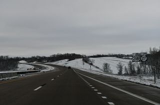
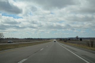
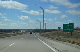
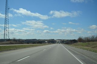
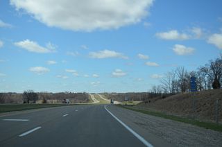
| U.S. 218 continues as a limited access freeway 16.7 miles south from Interstate 380 to the English River in Washington County. 12/29/23 |
|
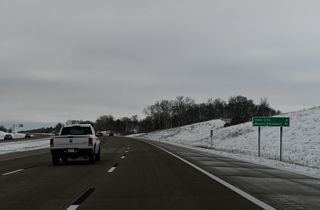
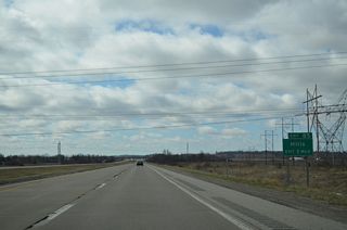
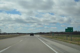
| Located along the banks of the Iowa River, Downtown Iowa City lies six miles to the east. Mount Pleasant, where U.S. 218 combines with U.S. 34, is the next city to the south in 51 miles. 12/29/23 |
|
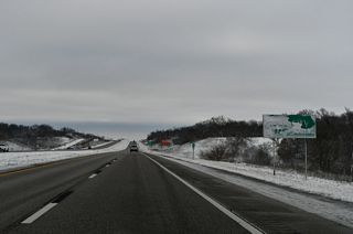
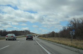
| U.S. 218/Iowa 27 (Avenue of the Saints) leading southeast through Iowa City is part of an incident bypass for I-80 east to Exit 91 with Iowa 1 north. 12/29/23 |
|
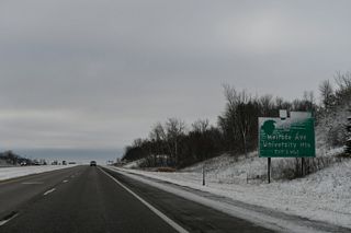
| County Route F46 (IWV Road) heads east to become Melrose Avenue at the Iowa City line ahead of a diamond interchange (Exit 93) with U.S. 218/Iowa 27. 12/29/23 |
|
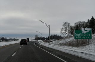
| Melrose Avenue expands into a multi-lane boulevard leading east to the city of University Heights. The roadway connects U.S. 218 with Kinnick Stadium and the University of Iowa Children's Hospital. 12/29/23 |
|
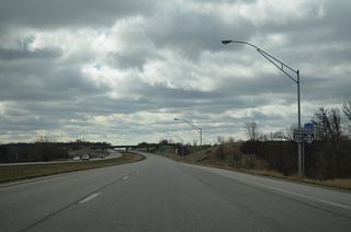
| Subdivisions line both sides of U.S. 218 southward from Exit 93 to the Rohret Road overpass. 12/31/14 |
|
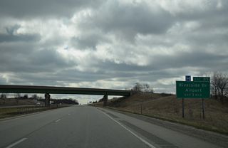
| Iowa 1 follows a dog leg route south through Downtown Iowa City and combines with U.S. 6 along Riverside Drive to a point north of Iowa City Municipal Airport (IOW). Iowa 1 turns west there along a commercial arterial to meet U.S. 218/Iowa 27 at Exit 91. 04/13/13 |
|
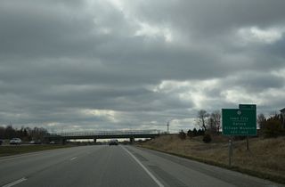
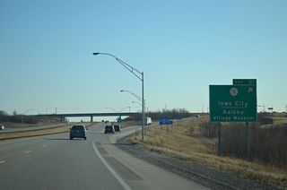
| Beyond the commercialized diamond interchange (Exit 91) with the Avenue of the Saints, Iowa 1 takes a rural route southwest 18 miles to Kalona and 31 miles to Washington. 12/31/14 |
|
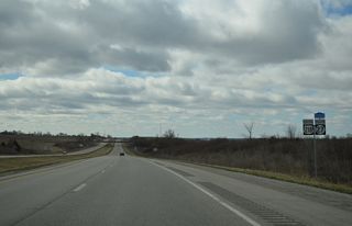
| Advancing southward, U.S. 218/Iowa 27 pass under Dane Road ahead of Ryerson's Woods State Preserve. 04/13/13 |
|
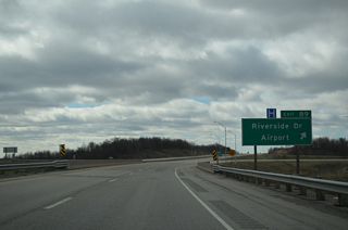
| Riverside Drive extends south from the separation of U.S. 6 and Iowa 1 as the former alignment of U.S. 218 east of the airport. Oak Crest Hill Road overtakes the road leading south to County Route F50 and the Avenue of the Saints at Exit 89. 04/13/13 |
|
| Entering the trumpet interchange (Exit 89) with CR F50, a short connector to Oak Crest Hill Road (CR W64). CR W64 (old U.S. 218) runs along the east side of the freeway southward to Hills and Washington County. 04/13/13 |
|
| Leading away from Iowa City, U.S. 218/Iowa 27 continue to the Poweshiek Street overpass. 04/13/13 |
|
| The freeway along U.S. 218 flattens out across agricultural areas between Old Mans Creek and the Iowa River. 04/13/13 |
|
| A diamond interchange (Exit 85) follows with Observatory Avenue at the city of Hills. 04/13/13 |
|
| Exit 85 departs U.S. 218/Iowa 27 south for Observatory Avenue. Observatory Avenue becomes Johnson County Route F62 (Main Street) east through the Hills city center. CR F62 joins Hills with Sharon Center to the west via 500th Street and parallel CR W64. 04/13/13 |
|
| U.S. 218/Iowa 27 cross Old Mans Creek and ascend onto hills west of the Iowa River. 04/13/13 |
|
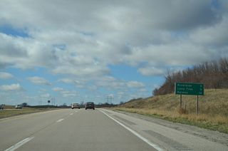
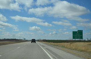
| Riverside, Lone Tree and Kalona represent Iowa 22 destination centers via the succeeding southbound exit in four miles. 04/13/13 |
|
| Crossing the Washington County line along U.S. 218/Iowa 27 (Avenue of the Saints) south. 04/13/13 |
|
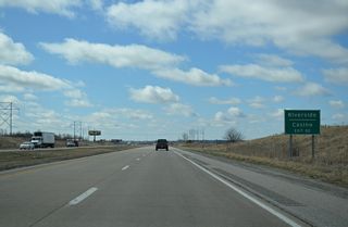
| Iowa 22 crosses paths with U.S. 218/Iowa 27 at a diamond interchange (Exit 80) within the city of Riverside in one mile. 04/13/13 |
|
| Downtown Riverside is one mile to the west along Iowa 22, while Riverside Casino and Golf Resort lies within eastern reaches of the city limits along Iowa 22 beyond Vine Avenue (old U.S. 218). 04/13/13 |
|
| Iowa 22 runs 97.91 miles from Iowa 21, west of Thornburg, to U.S. 61 Business in Davenport. Lone Tree is seven miles to the east via Iowa 22 and CR X14. 04/13/13 |
|
| U.S. 218/Iowa 27 cross the English River just south of Iowa 22. 04/13/13 |
|
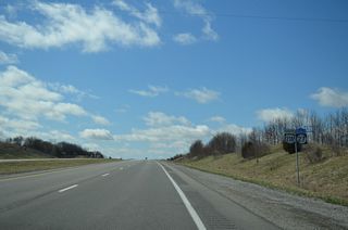
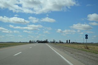
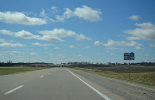
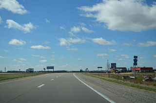
| An at-grade intersection precedes this shield assembly at 130th Street. U.S. 218/Iowa 27 travel as a controlled access expressway from this point southward to Mount Pleasant. 04/13/13 |
|
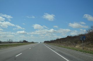
| 135th Street intersects U.S. 218/Iowa 27 ahead of these shields. While several at-grade intersections line the route, none are signalized. 04/13/13 |
|
| A broad valley takes U.S. 218/Iowa 27 south to a crossing of Davis Creek. 04/13/13 |
|
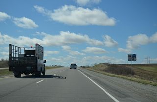
| U.S. 218/Iowa 27 cross the Highland township line at 160th Street by these shields. 04/13/13 |
|
| U.S. 218/Iowa 27 south after 170th Street. 04/13/13 |
|
| Southbound U.S. 218/Iowa 27 after Goose Creek and 192nd Street. 04/13/13 |
|
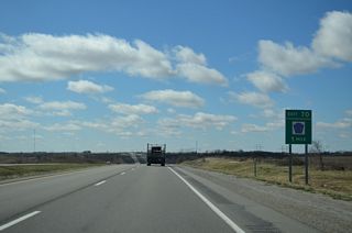
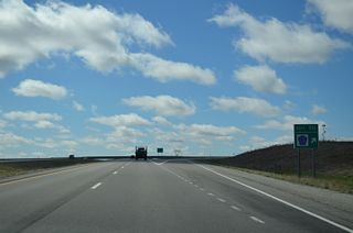
| A diamond interchange (Exit 70) joins the Avenue of the Saints with Washington County Route G36 near Haskins in one mile. 04/13/13 |
|
| County Route G36 (220th Street) runs along the Highland and Washington township line east to Louisa County and west to Spruce Avenue. CR G36 provides a direct route to Iowa 92 west to West Chester, Sigourney and Oskaloosa. 04/13/13 |
|
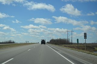
| Continuing south, U.S. 218/Iowa 27 resume as an expressway. 04/13/13 |
|
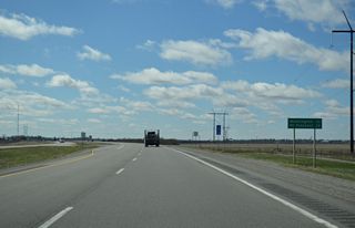
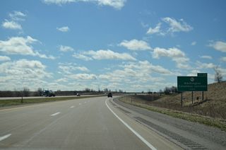
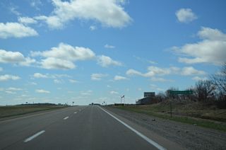
| Distance sign posted at 230th Street. The city of Washington lies eight miles west of U.S. 218 via upcoming Iowa 92. 04/13/13 |
|
| U.S. 218 curves southeast to bypass Ainsworth, overtaking the old two lane alignment (CR W64) in the process. Vine Street (old U.S. 218) resumes from 240th Street nearby to connect U.S. 218 with 250th Street west into Ainsworth. 04/13/13 |
|
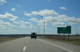
| Iowa 92, a 279.72 mile long cross state route between Council Bluffs and Muscatine, meets U.S. 218 in one mile at Exit 66. Iowa 92 runs west through adjacent Ainsworth to the county seat. 04/13/13 |
|
| A diamond interchange joins U.S. 218/Iowa 27 with Iowa 92 at Exit 80. Leading east, Iowa 92 continues nine miles to Columbus Junction and 18 miles to combine with U.S. 61 north into Muscatine.
Iowa 92 is part of a 886 mile long multi state highway west to Torrington, Wyoming and east to LaMoille, Illinois. 04/13/13 |
|
| U.S. 218/Iowa 27 curve back to the southwest to directly overlay the two lane alignment along Vine Avenue (CR W64). 04/13/13 |
|
| Southbound distance sign posted five miles from Crawfordsville and 22 miles from Mt. Pleasant at the North Fork of Long Creek. 04/13/13 |
|
| Washington County Route W64 provides return access to Ainsworth via Vine Avenue north to Iowa 92 west. 04/13/13 |
|
| Old White Way east becomes County Road G52 at the Avenue of the Saints. CR G52 progresses east into Louisa County en route to Columbus City. 04/13/13 |
|
| Another set of shields for the Avenue of the Saints appears after CR G52 and milepost 65. 04/13/13 |
|
| U.S. 218 again diverges from its original alignment at 282nd Street. The expressway bypasses Crawfordsville to the east while Vine Avenue emerges as another segment of County Road W64. 04/13/13 |
|
| U.S. 218 leads south from 295th Street to the east side of Crawfordsville. 04/13/13 |
|
| Columbus Street east and 305th Street west come together at U.S. 218/Iowa 27 east of the Crawfordsville city center. Columbus Street transitions to CR G6W (305th Street) west of the city line. 04/13/13 |
|
| County Route G62 (320th Street) spurs east from parallel Vine Avenue to Wyman and Wapello in Louisa County. 04/13/13 |
|
| Vine Avenue ties into U.S. 218/Iowa 27 one final time as the expressway again overtakes the original U.S. 218 alignment across the Crooked Creek East Fork. 04/13/13 |
Page Updated 02-08-2024.



 South
South
