
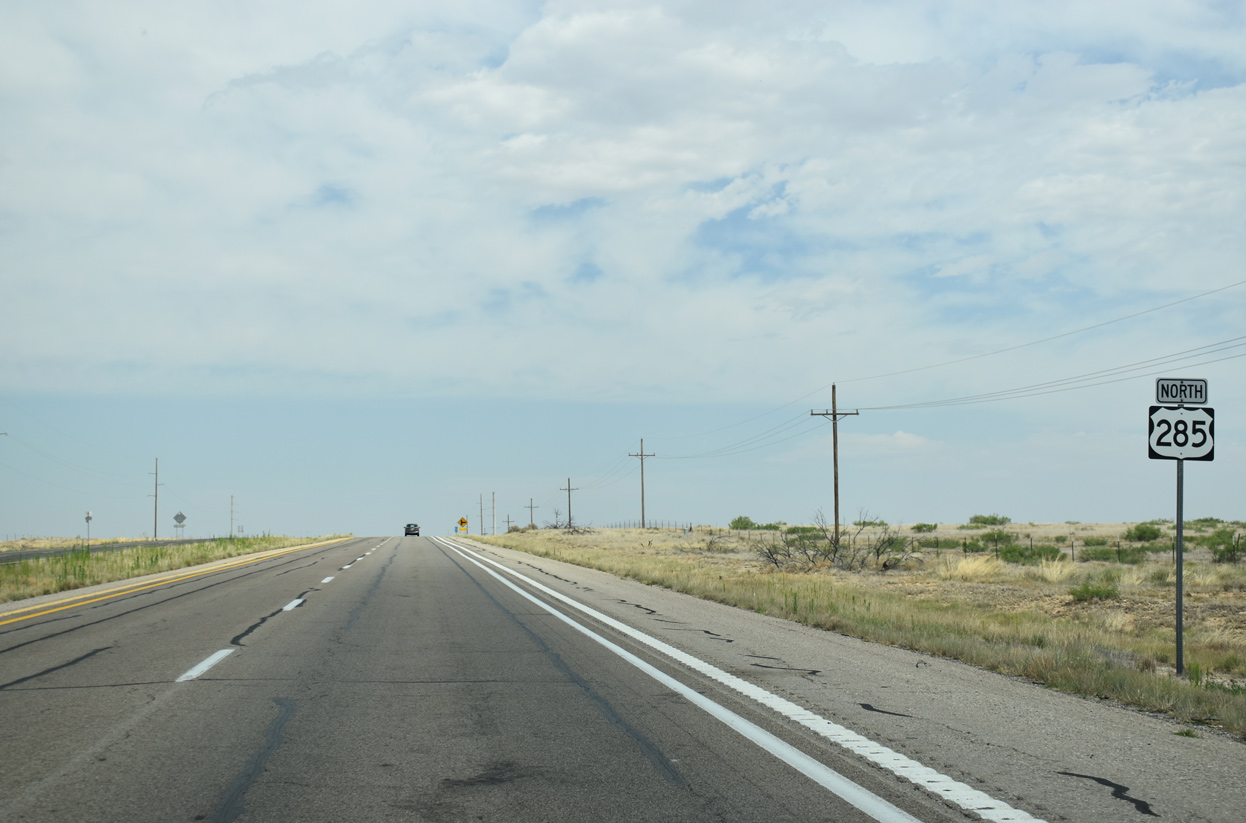
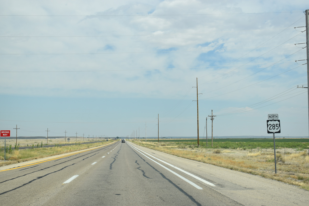
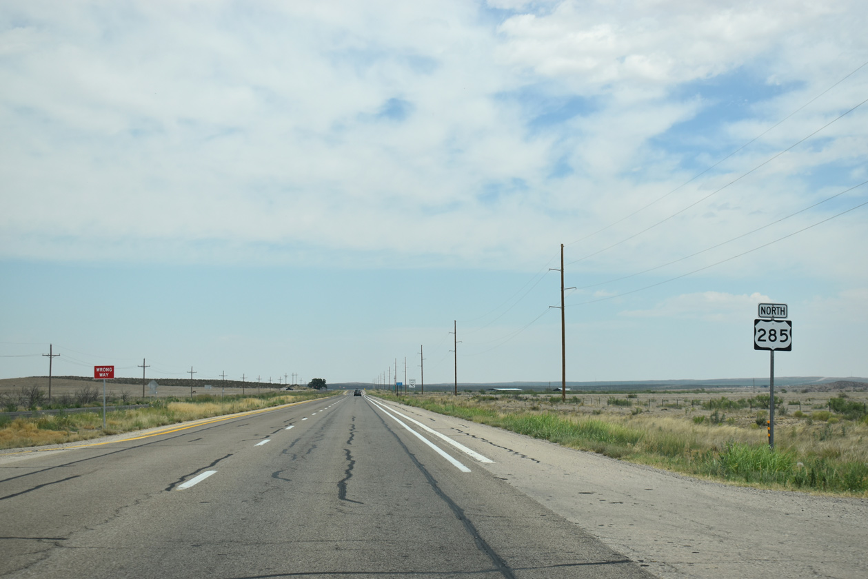
U.S. 285 North - Chaves County

 North
North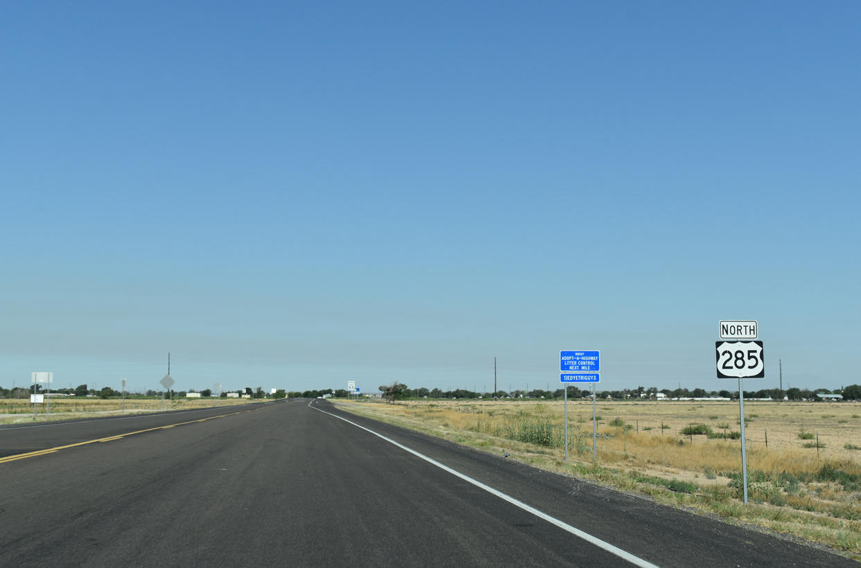
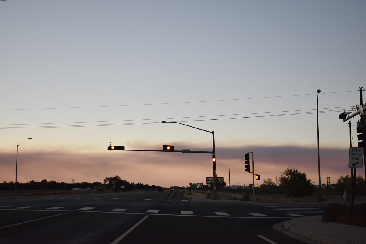
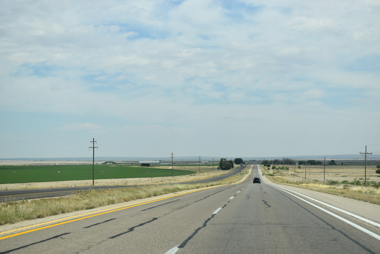
U.S. 285 encircles the west side of Roswell along the Roswell Relief Route, a 15.3 mile long controlled access bypass.
06/22/19
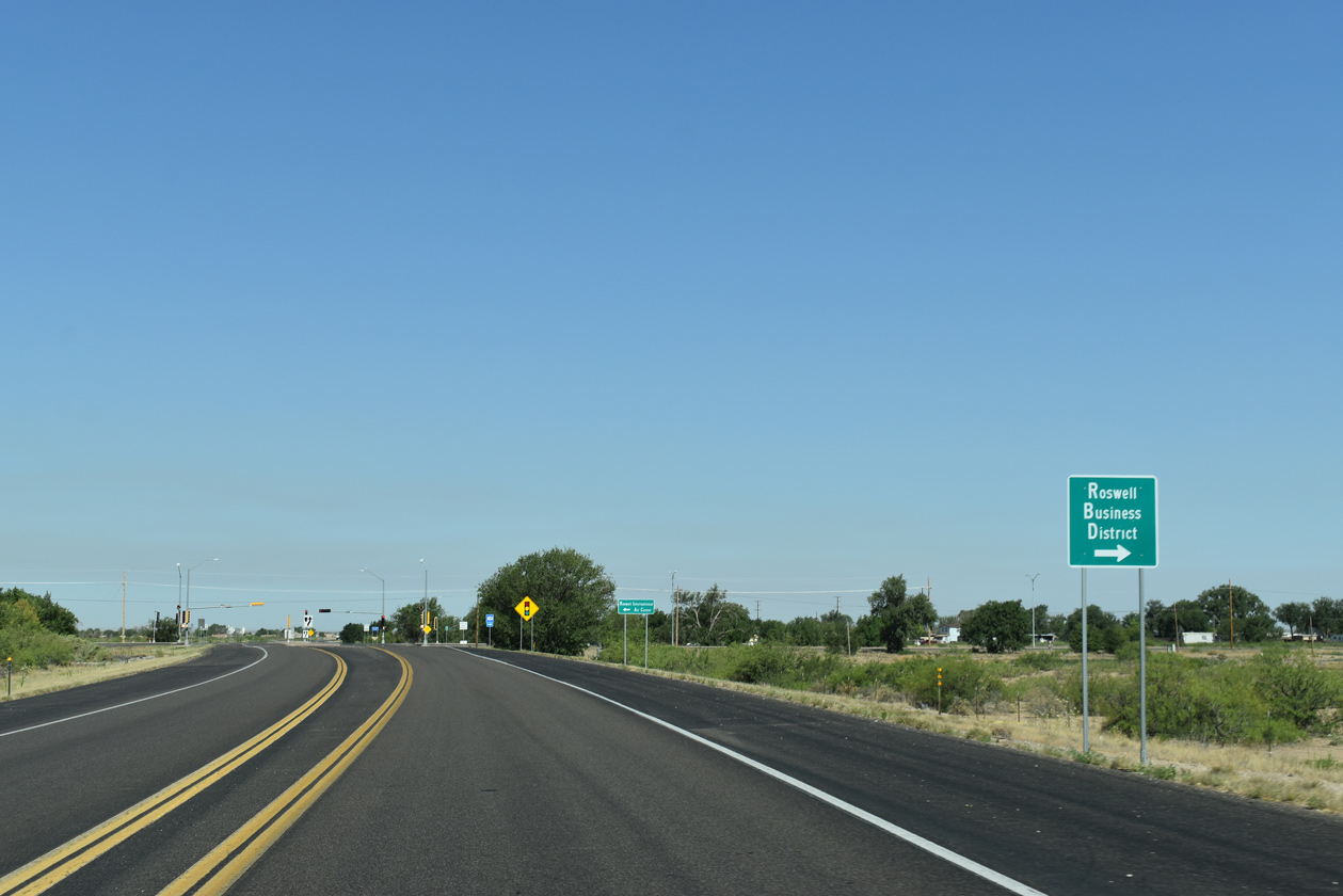
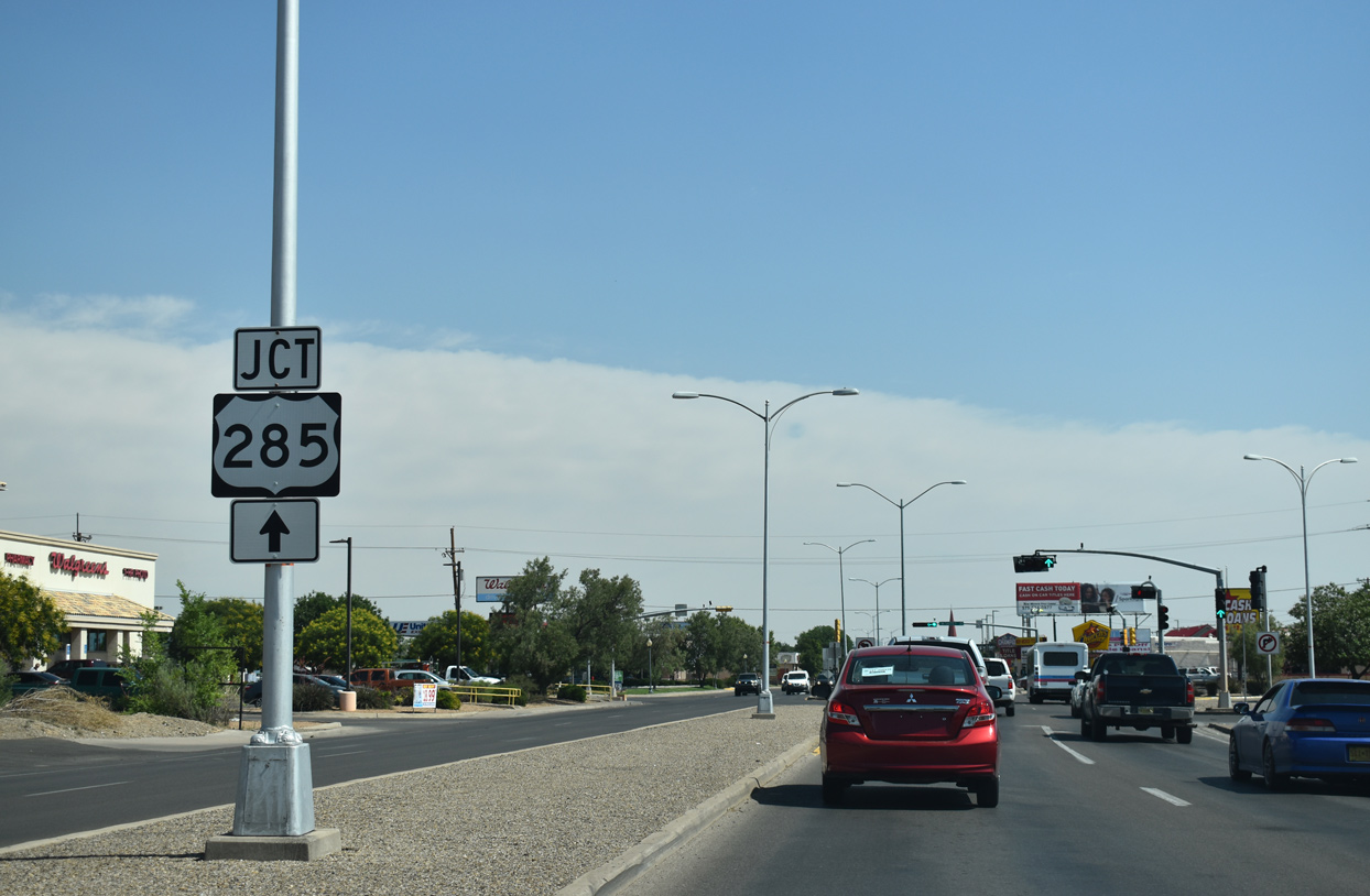
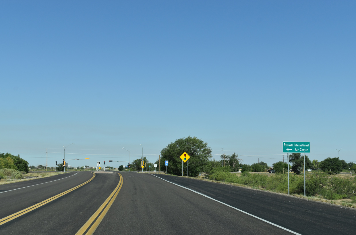
The Roswell Relief Route bee lines one mile west to South Main Street. South Main Street (FL-4683) branches south from old U.S. 285 (SE Main Street) 4.04 miles to Walker Boulevard at Hobson Road near the Roswell International Air Center (ROW).
06/22/19
North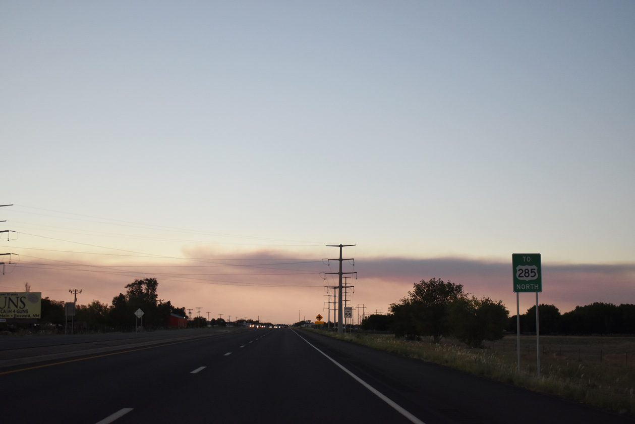
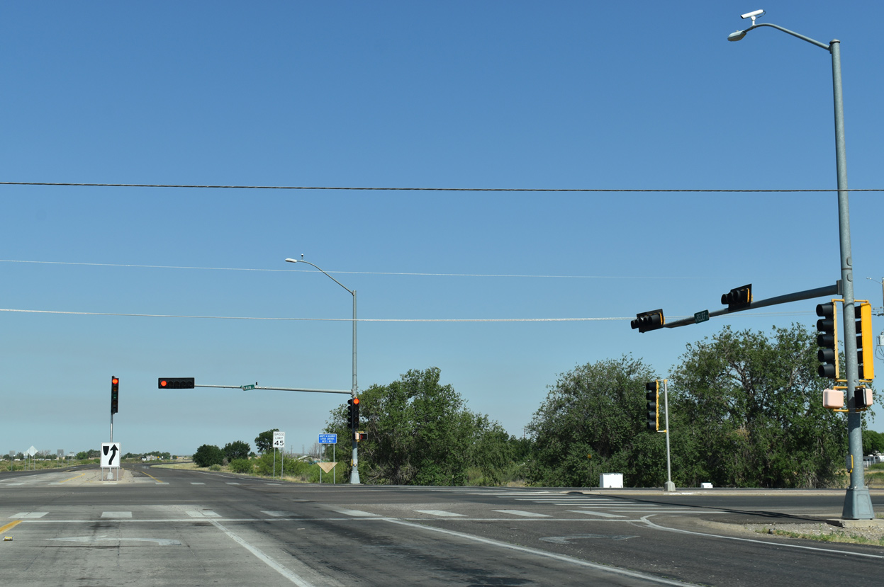
SE Main Street continues north from the Roswell Relief Route (U.S. 285) as the former in city route of U.S. 285. Signs alternatively reference the arterial as "TO U.S. 285".
06/21/19
SE Main Street (old U.S. 285) northbound reaches the Roswell city limits ahead of Brasher Road.
06/21/19
Brasher Road (FL-4692) comprises a minor arterial west to Sunset Avenue and east as CR 1-184 to NM 256 (Old Dexter Highway) and NM 254.
06/21/19
U.S. 285 angled northwest along SE Main Street to overtake South Main Street at McGaffey Street in Roswell. Main Street (FL-4683) originates from the Roswell International Air Center (ROW), 4.04 miles to the south.
06/15/19
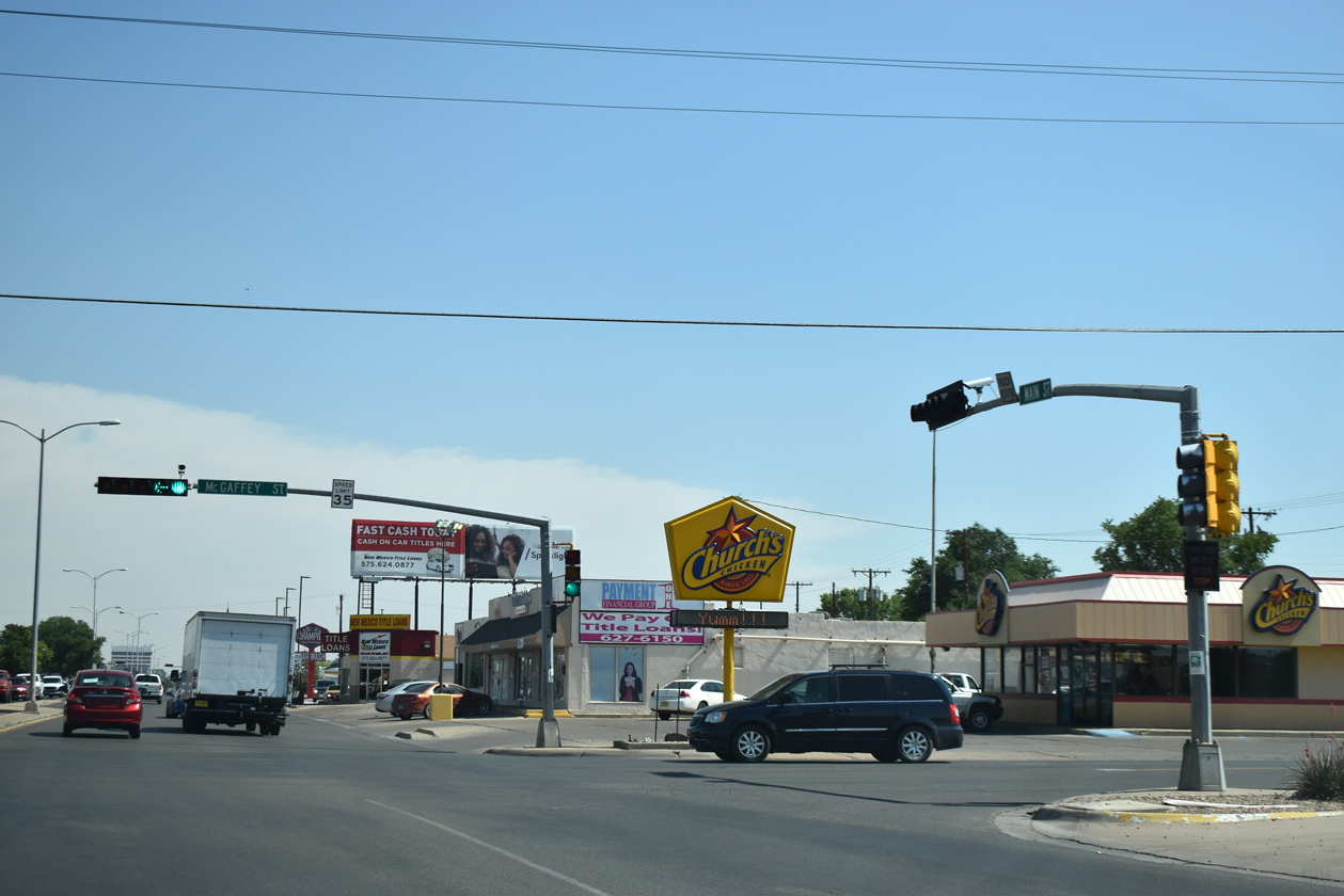
Main Street (former U.S. 285) north at McGaffey Street (FL-4708).
06/15/19
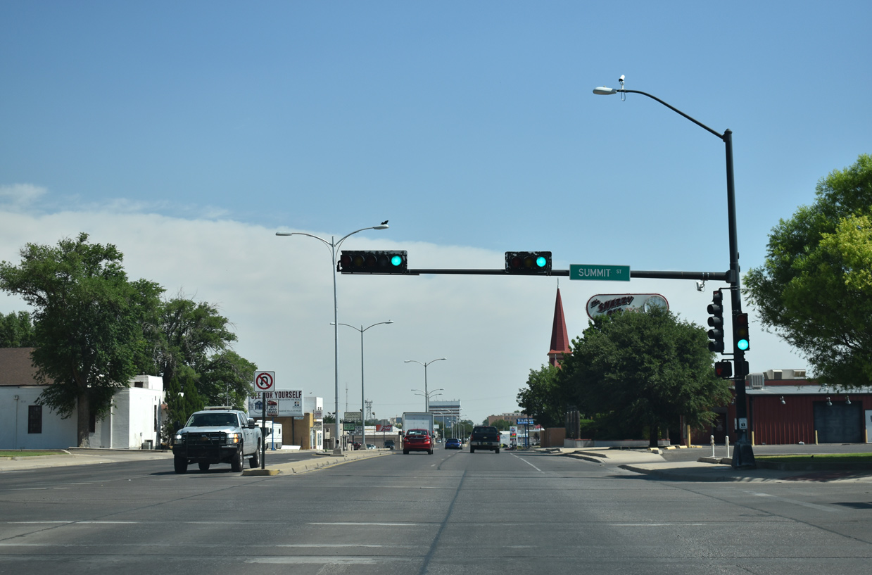
Main Street constitutes a four lane, commercial boulevard north from SE Main Street to Downtown Roswell. Pictured here is old U.S. 285 north at Summit Street.
06/15/19
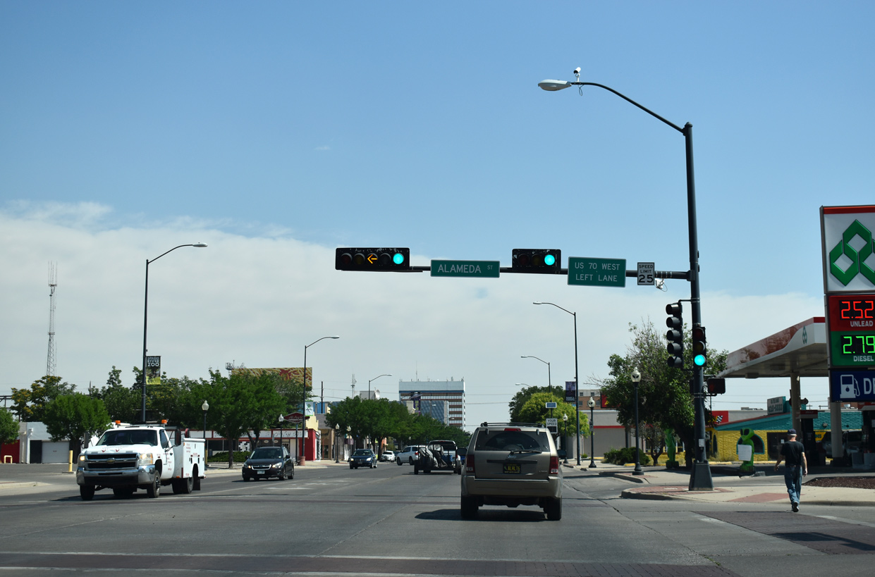
Three blocks ahead of U.S. 380 (Main Street) along Main Street north at Alameda Street (FL-5715). Forthcoming Main Street was formerly a part of the in-city route of U.S. 70 through Roswell.
06/15/19
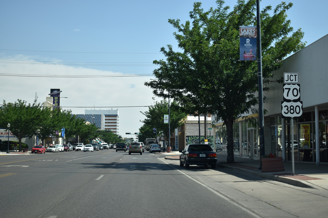
U.S. 70 remains acknowledged along U.S. 380 (2nd Street) west from Main Street in Downtown Roswell. U.S. 70 previously overlapped with U.S. 380 for 3.6 miles between U.S. 285 here and the Roswell Relief Route.
06/15/19
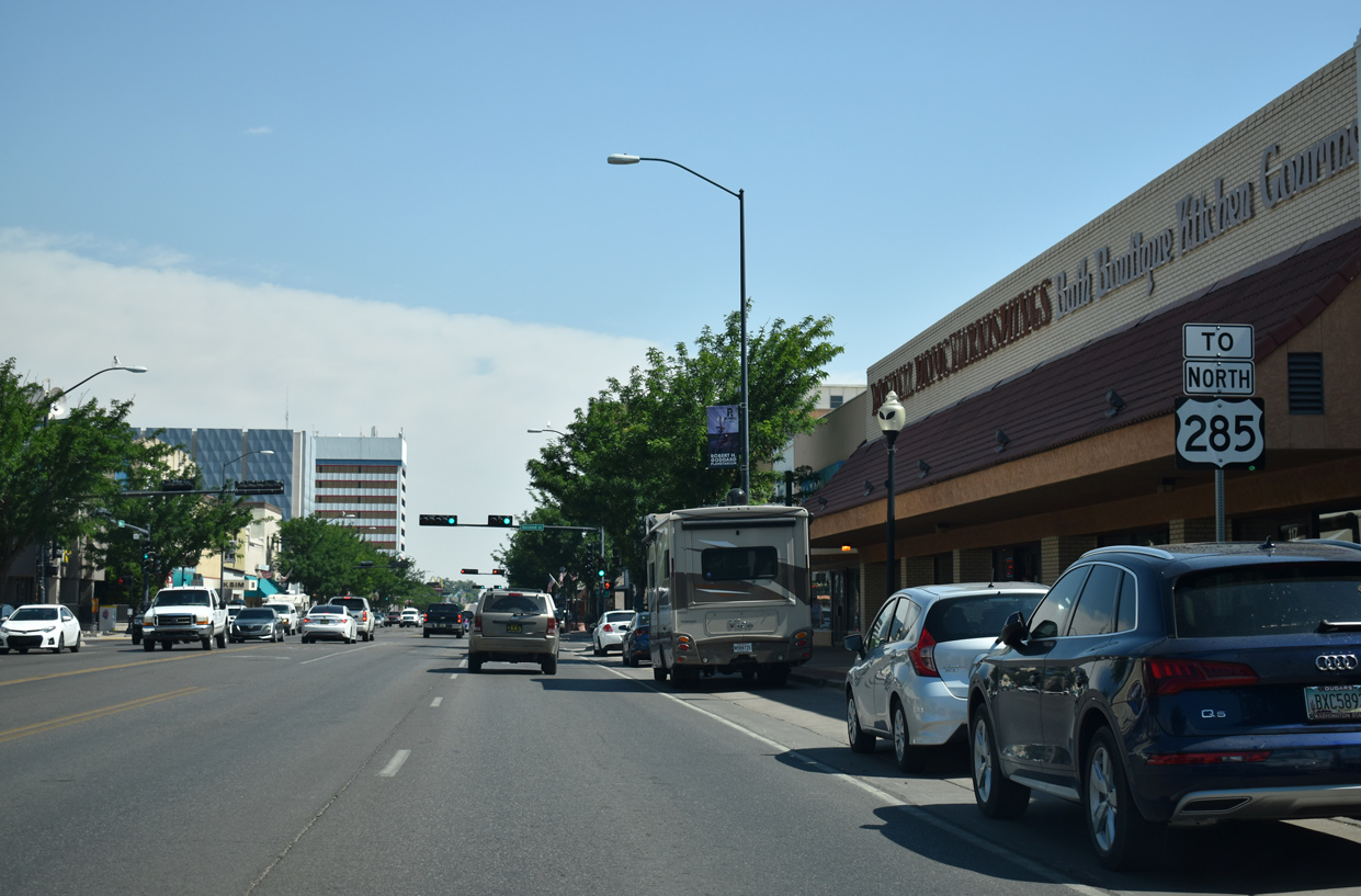
Some reassurance markers for U.S. 285 along Main Street were amended with a TO banner, reflecting the jurisdictional shift of maintenance from NMDOT to the city of Roswell.
06/15/19
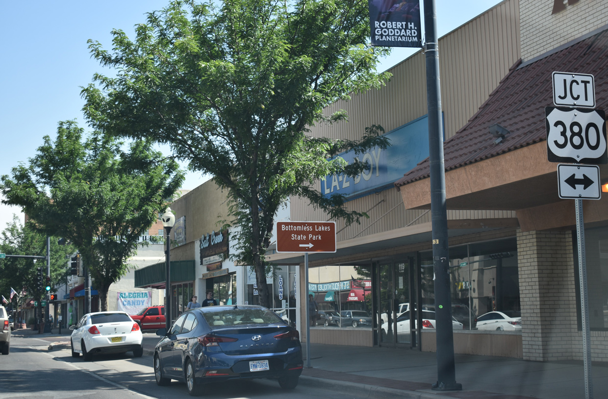
U.S. 380 (2nd Street) represents the main east-west arterial across Roswell. U.S. 380 east crosses the Pecos River ahead of Comanche Hill and Bottomless Lakes State Park.
06/15/19
West from Main Street and Downtown Roswell, U.S. 380 (Second Street) overlaps with U.S. 70 to Hondo.
06/21/19
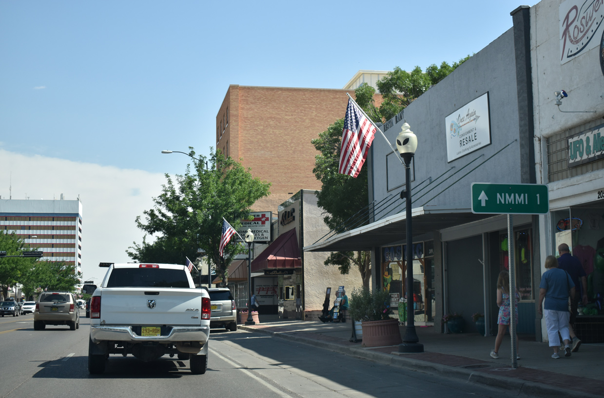
Main Street continues one mile north from U.S. 380 (2nd Street) to the New Mexico Military Institute (NMMI).
06/15/19
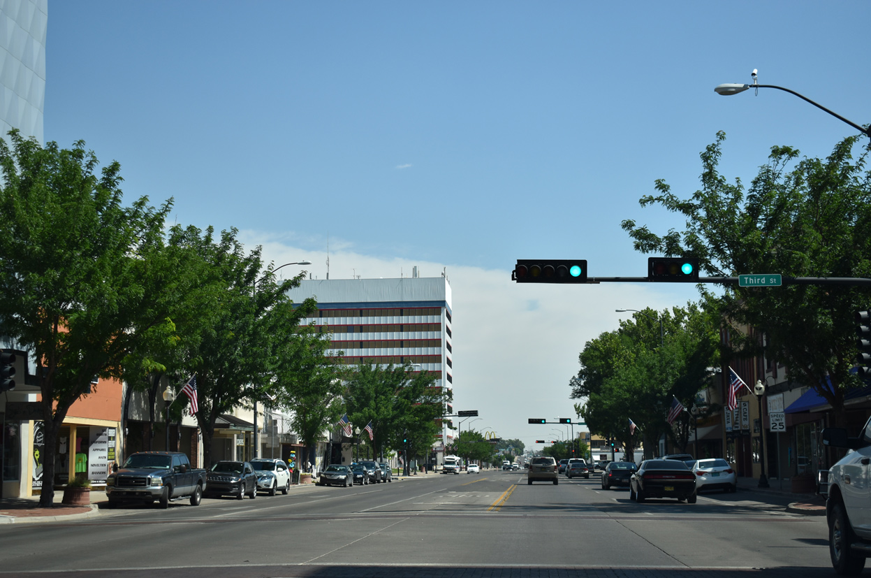
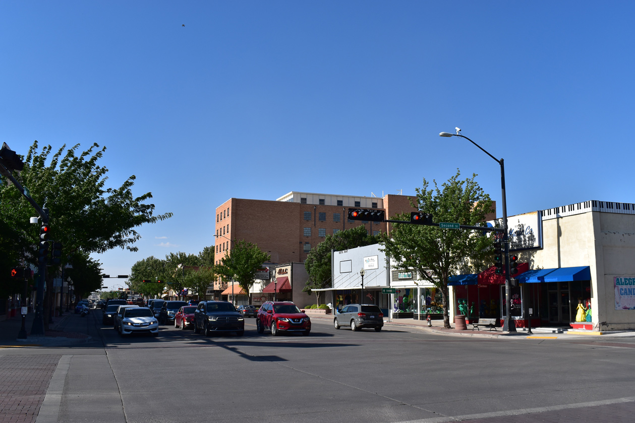
Main Street north at Third Street in Downtown Roswell.
06/15/19
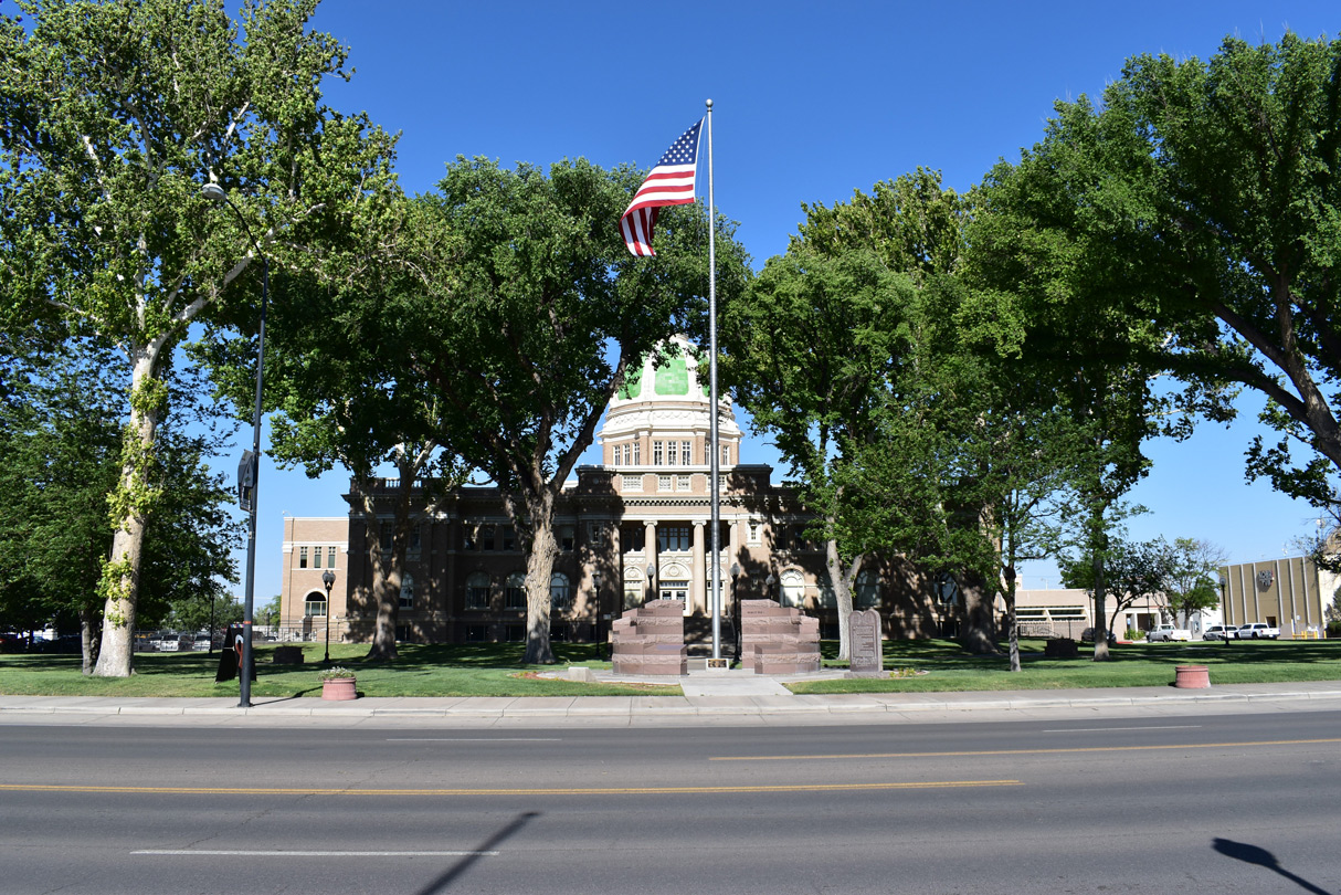
Main Street passes between the Chaves County Courthouse and Pioneer Plaza on the block between 4th and 5th Streets in Downtown Roswell.
06/15/19
06/21/19
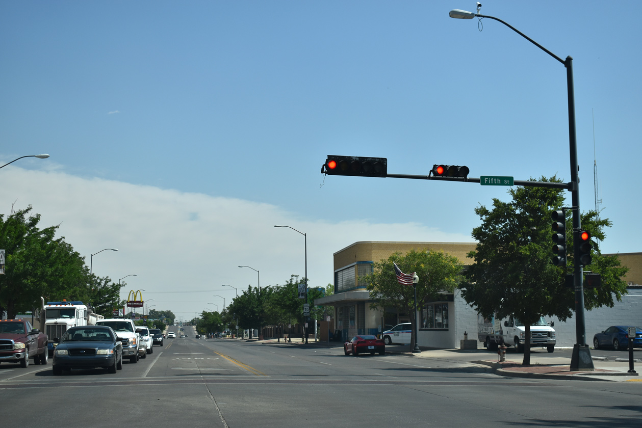
The Roswell Visitors Center is located on the southwest corner of Main and Fifth Streets.
06/15/19
U.S. 70 reassurance marker posted north of 5th Street in Roswell.
06/21/19
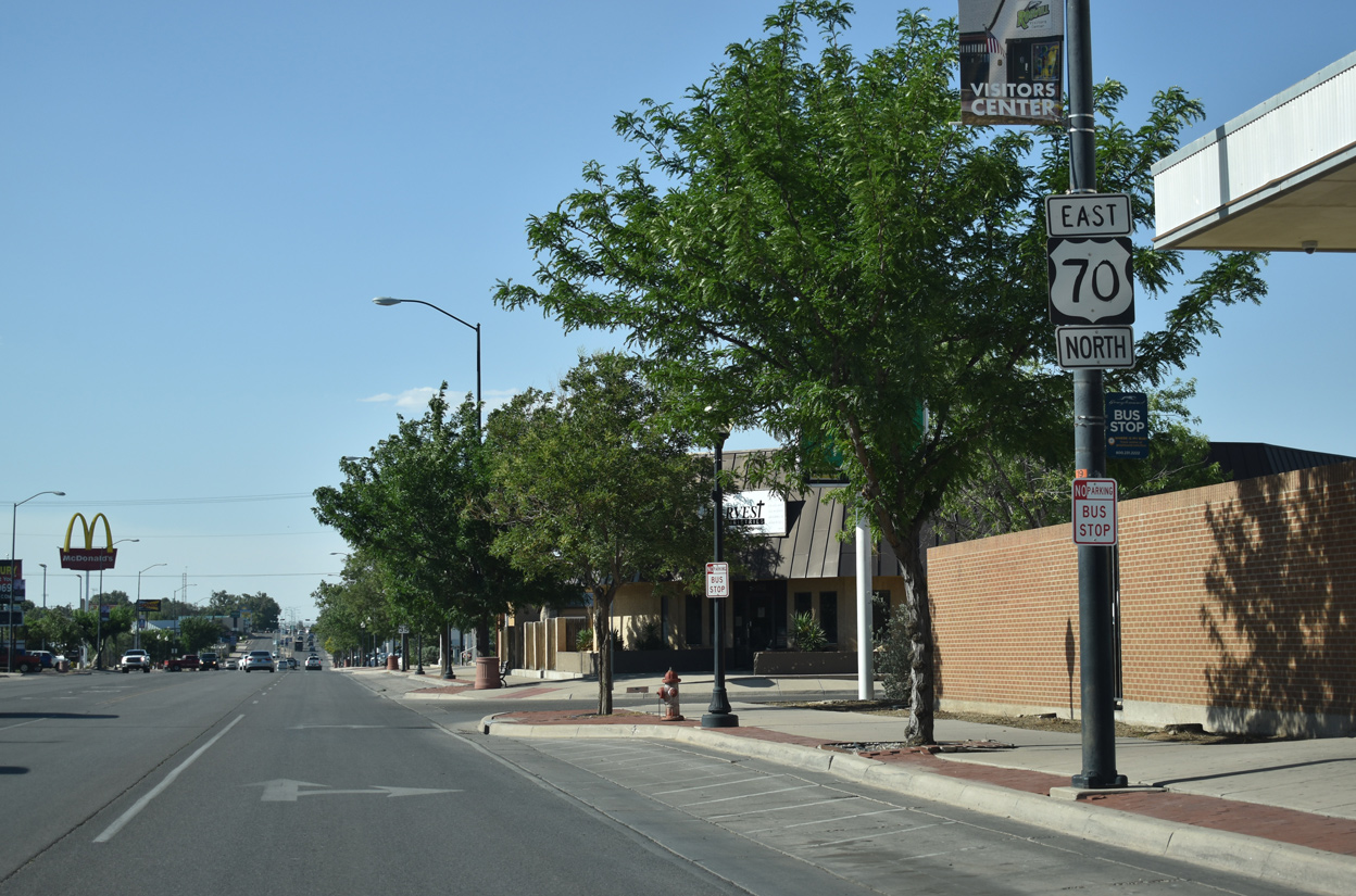
College Boulevard provides part of a truck route for U.S. 380 to the north of Downtown Roswell.
06/15/19

U.S. 70 east / U.S. 285 north reassurance markers remain along Main Street north by the New Mexico Military Institute (NMMI).
06/15/19
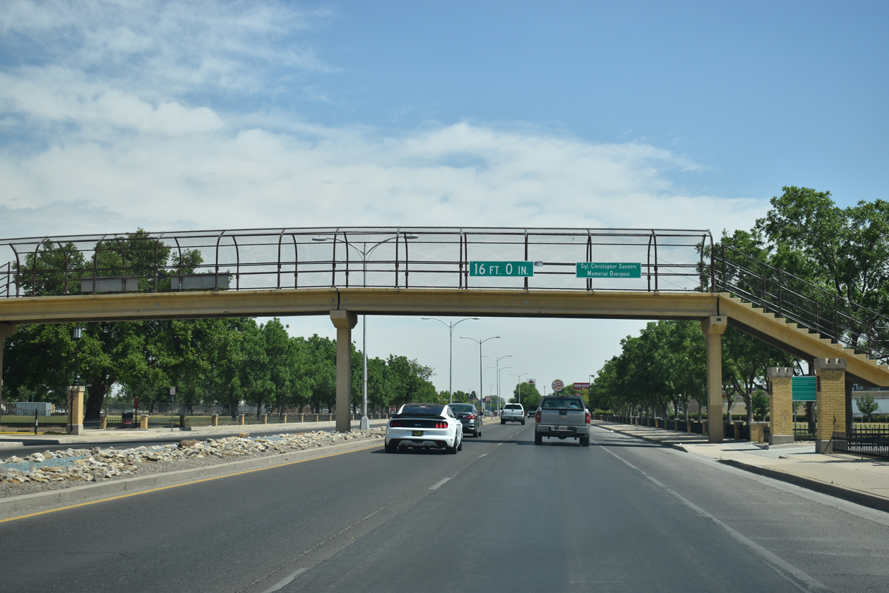
Passing under the Sgt. Christopher Sanders Memorial Overpass along Main Street (old U.S. 285) north at NMMI.
06/15/19
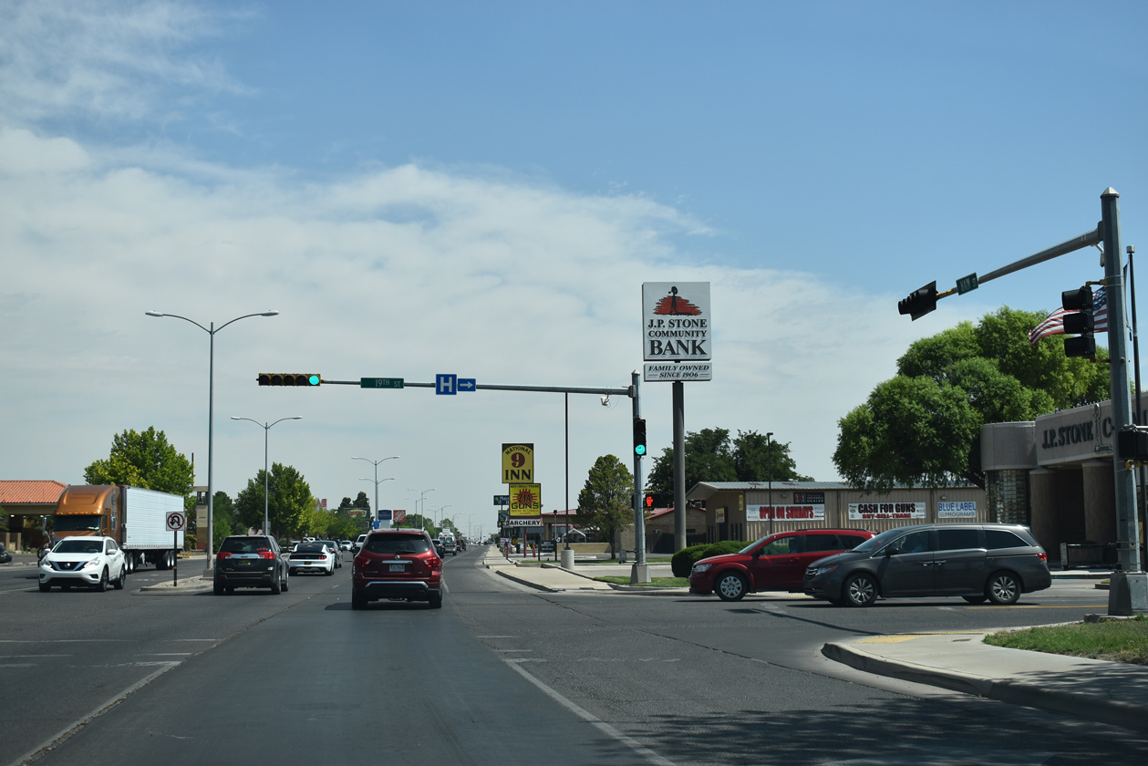
Main Street north at 19th Street (FL-5712) to the NMMI Golf Course and the Charlie McVay Memorial Softball Complex.
06/15/19
Main Street continues north through a slow moving commercial strip from 19th Street to NM 246 (Pine Lodge Road).
06/15/19
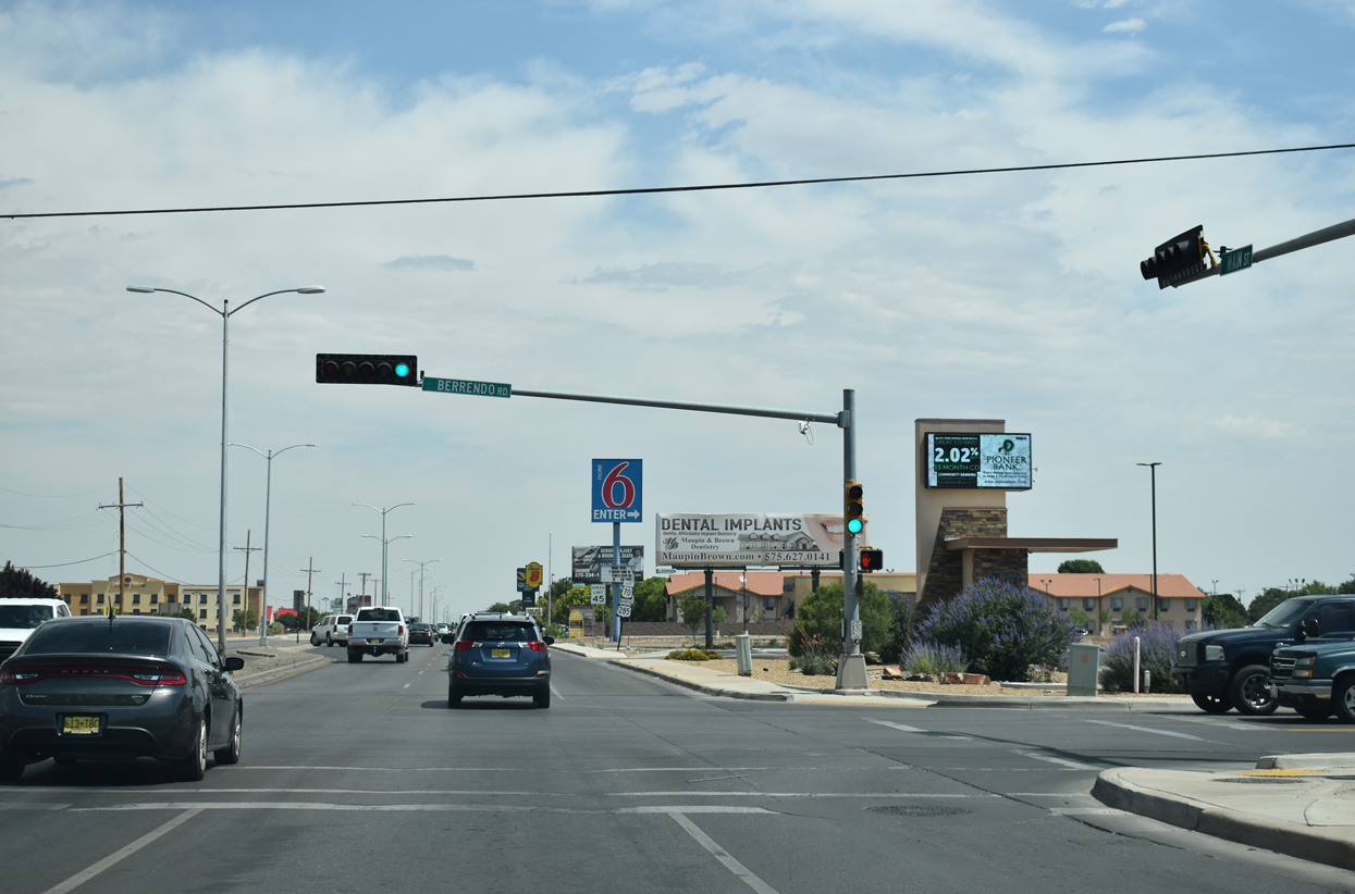
U.S. 70/285 shields posted along Main Street north of Berrendo Road.
06/21/19
Main Street northbound next spans Berrendo Creek.
06/15/19
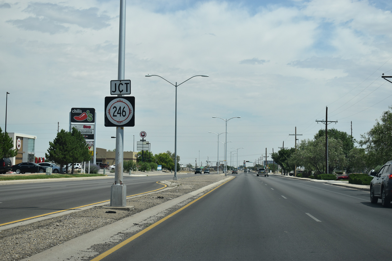
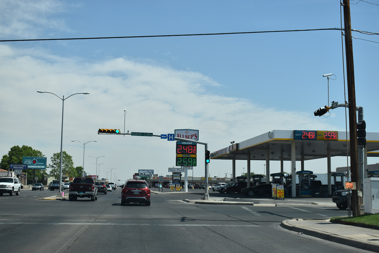
Passing by Roswell Mall and adjacent big box retail, Main Street (old U.S. 285) continues to NM 246 west at Pine Lodge Road.
06/15/19
NM 246 commences a 82.46 mile long course from Main Street (old U.S. 285) on the north side of Roswell. The state road meanders west around the Capitan Mountains through Lincoln National Forest to U.S. 380 and NM 48 at Capitan.
06/21/19
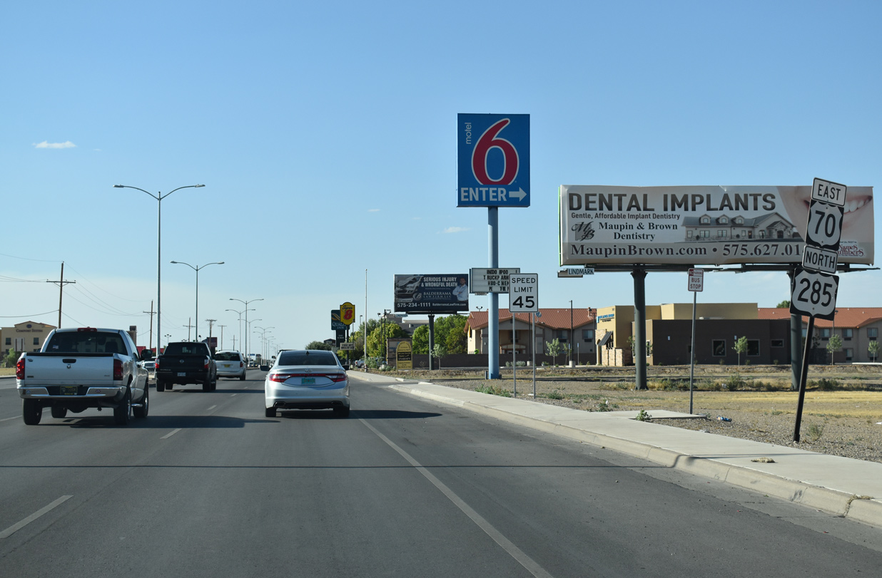
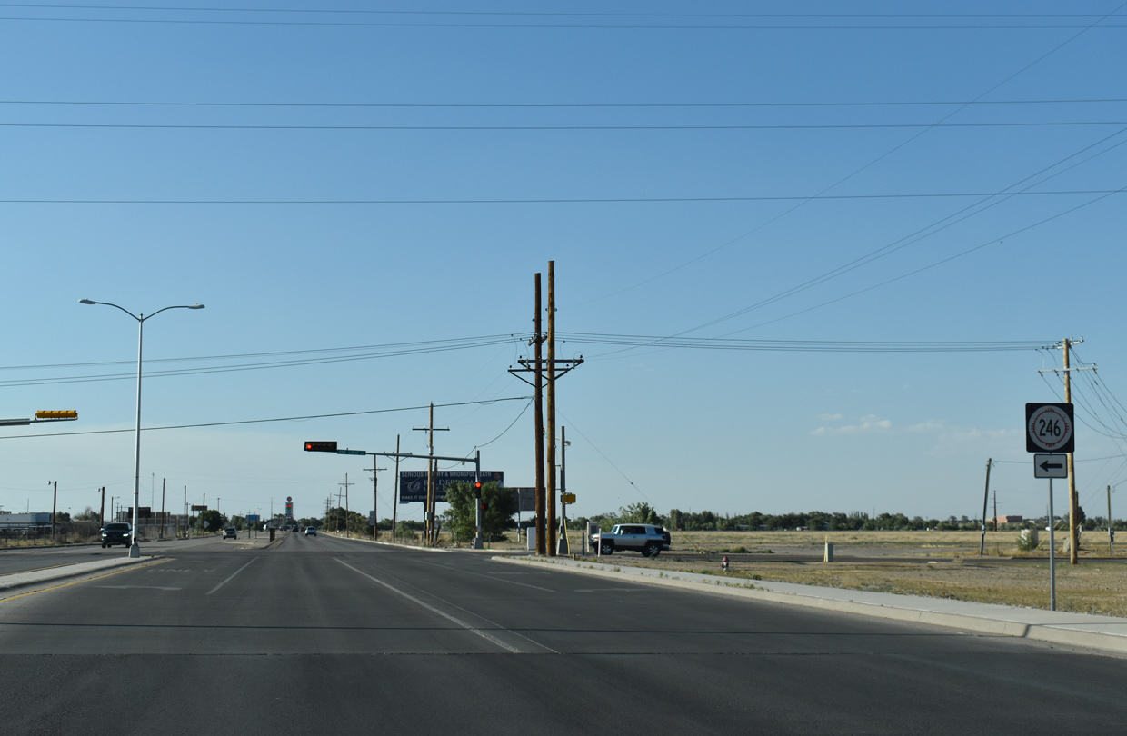
Milepost 336 for U.S. 70 accompanies this shield assembly along Main Street beyond NM 246 (Pine Lodge Road).
06/15/19
One mile south of the parclo interchange with the Roswell Relief Route (U.S. 70 and 285 south) along Main Street north.
06/15/19
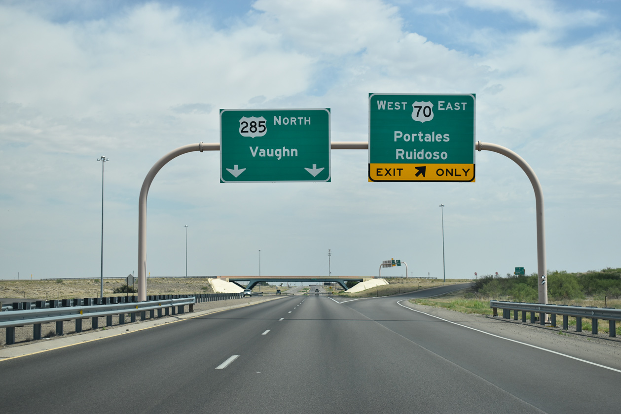
Main Street crosses Middle Berrendo Creek ahead of the exit ramp for U.S. 70 east to the Roosevelt County seat of Portales and west to the village of Ruidoso. U.S. 70/285 combine for 7.4 miles southwest to U.S. 380 (West 2nd Street).
06/15/19
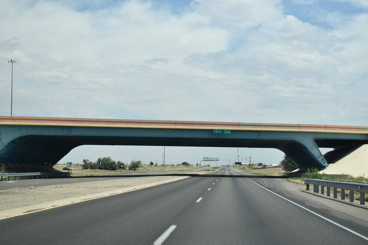
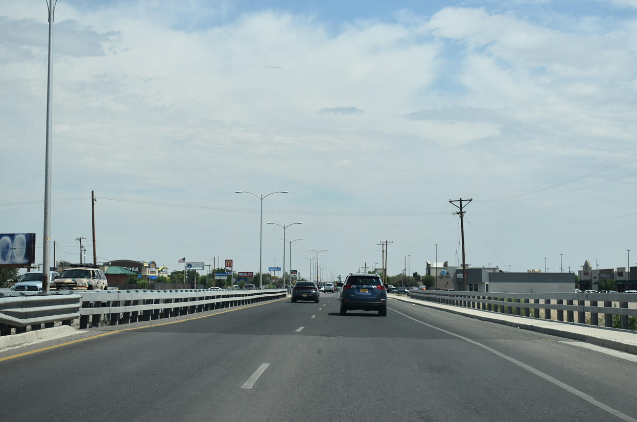
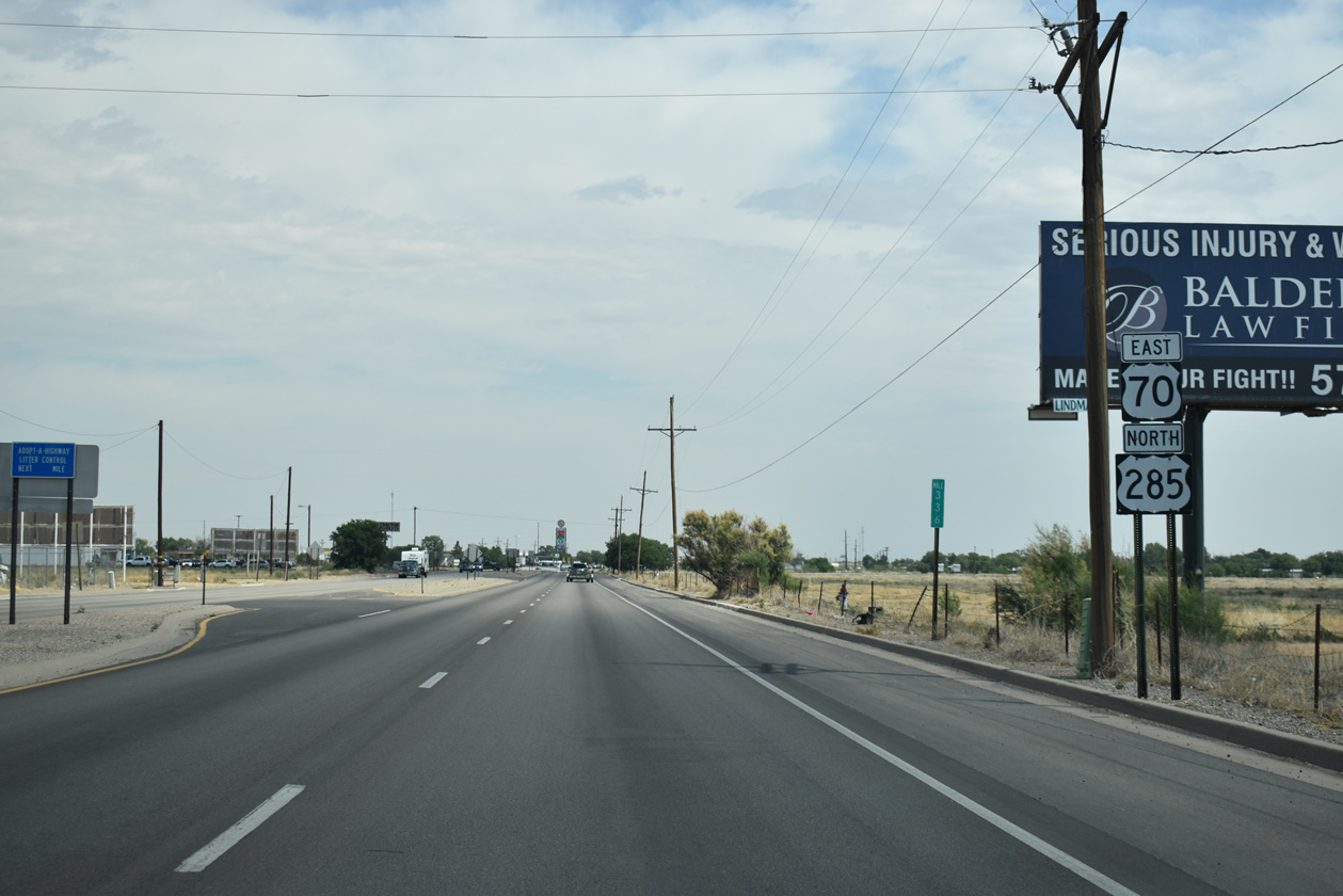
The three span steel frame bridge carrying U.S. 70 across Main Street was built in 1997.1
06/15/19
 East North
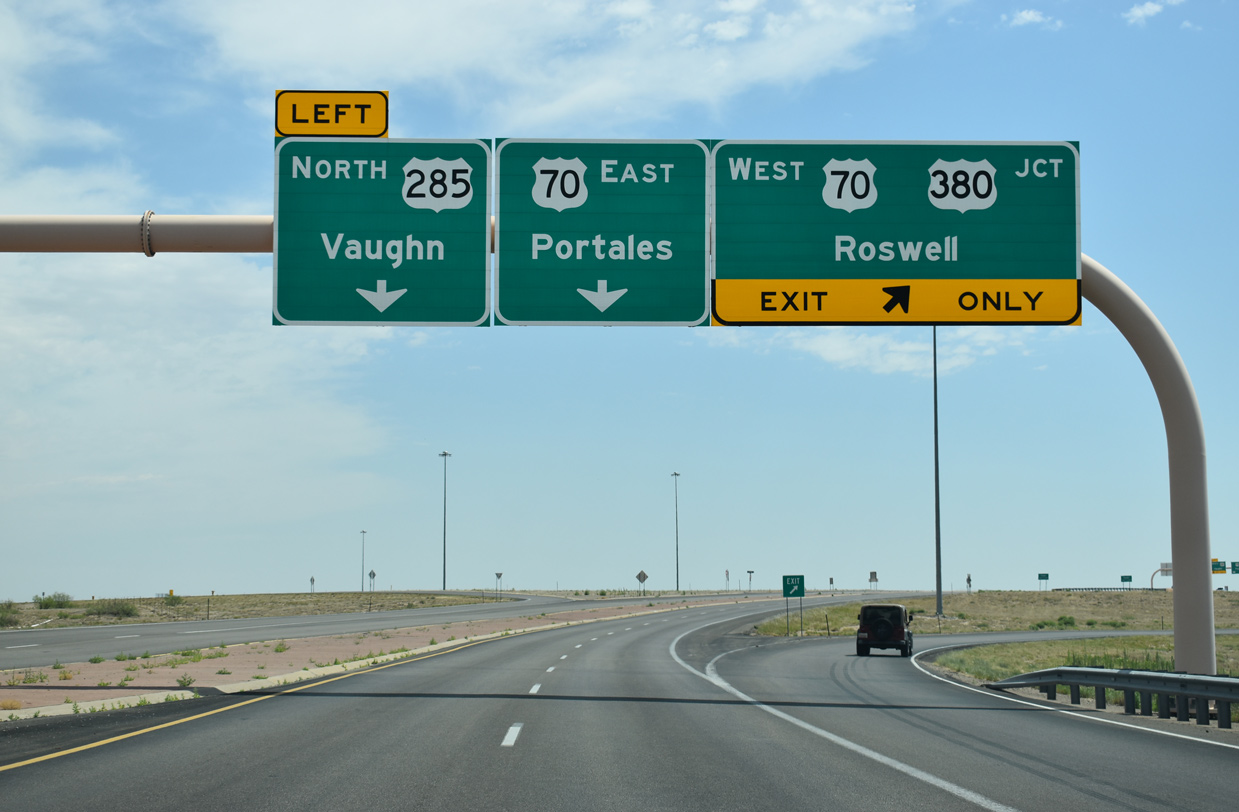
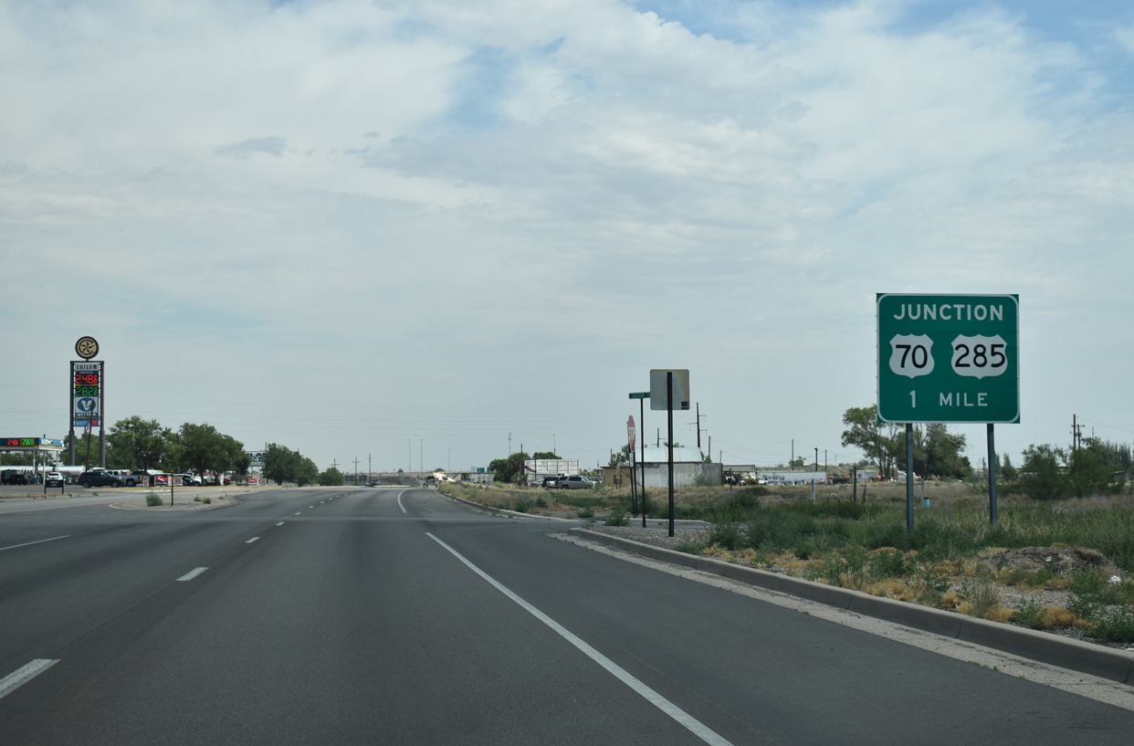
U.S. 70 east and 285 north overlap 7.4 miles along the Roswell Relief Route to a parclo interchange with North Main Street. Main Street represents the former alignment south to U.S. 380 and Downtown Roswell.
06/15/19
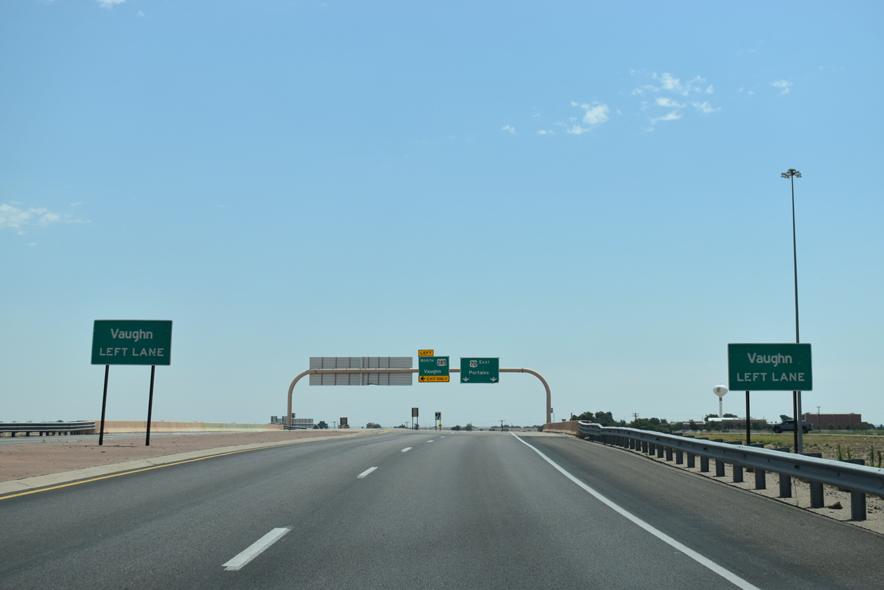
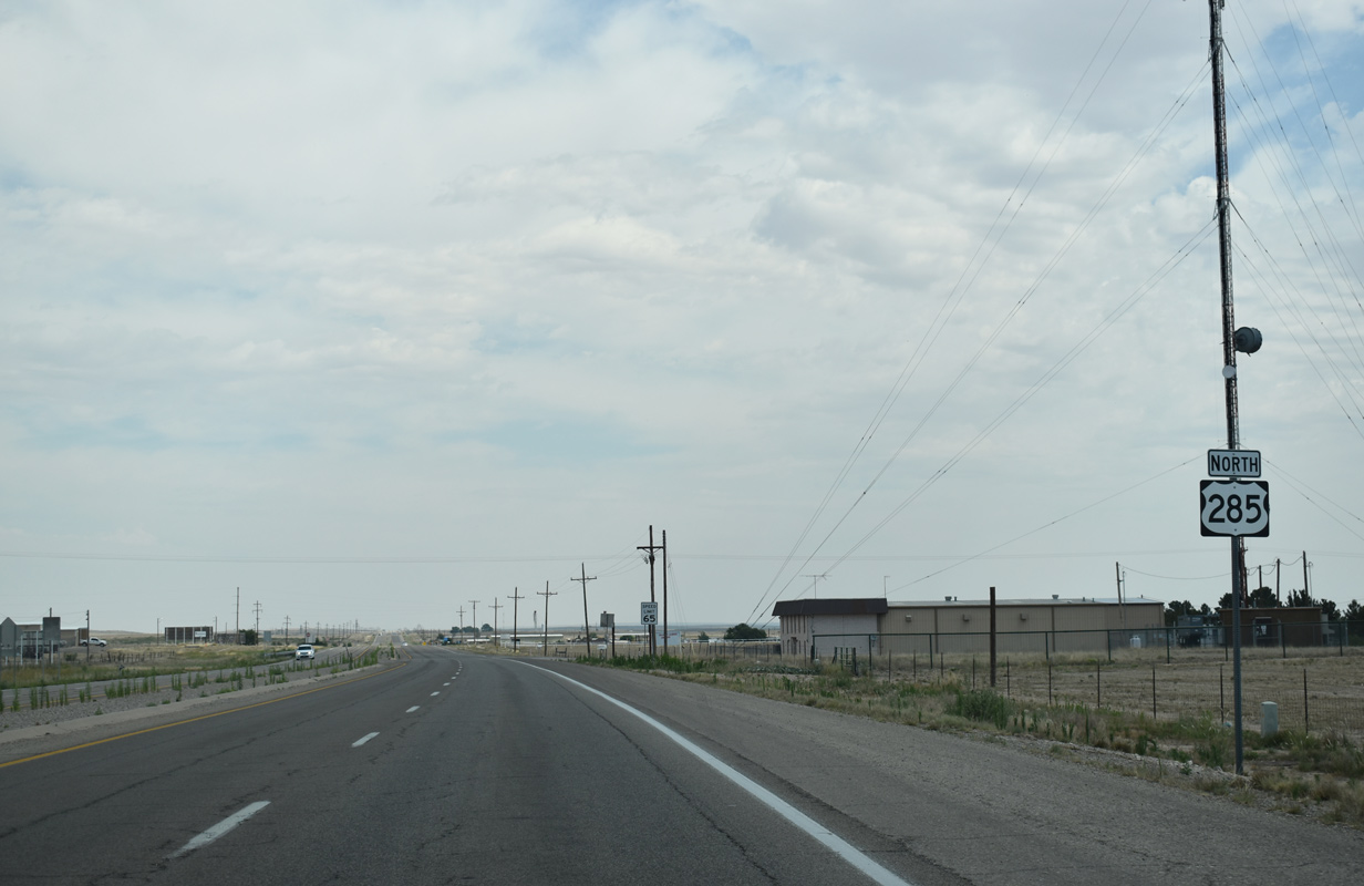
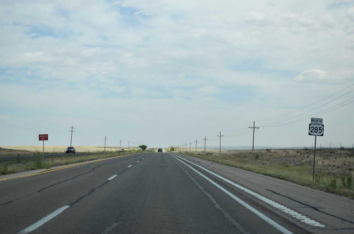
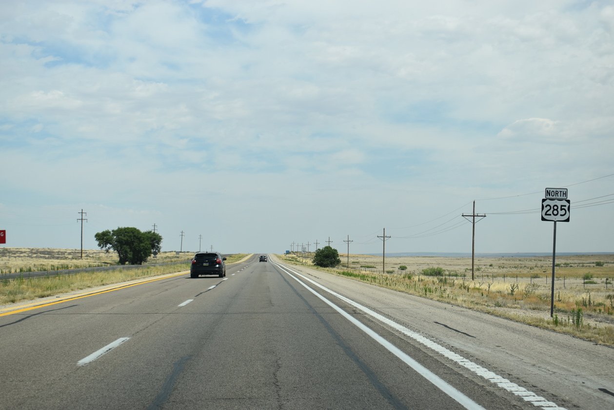
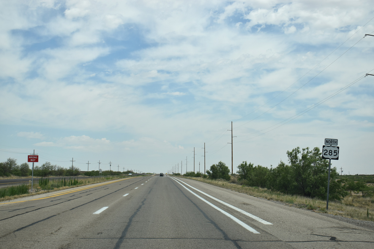
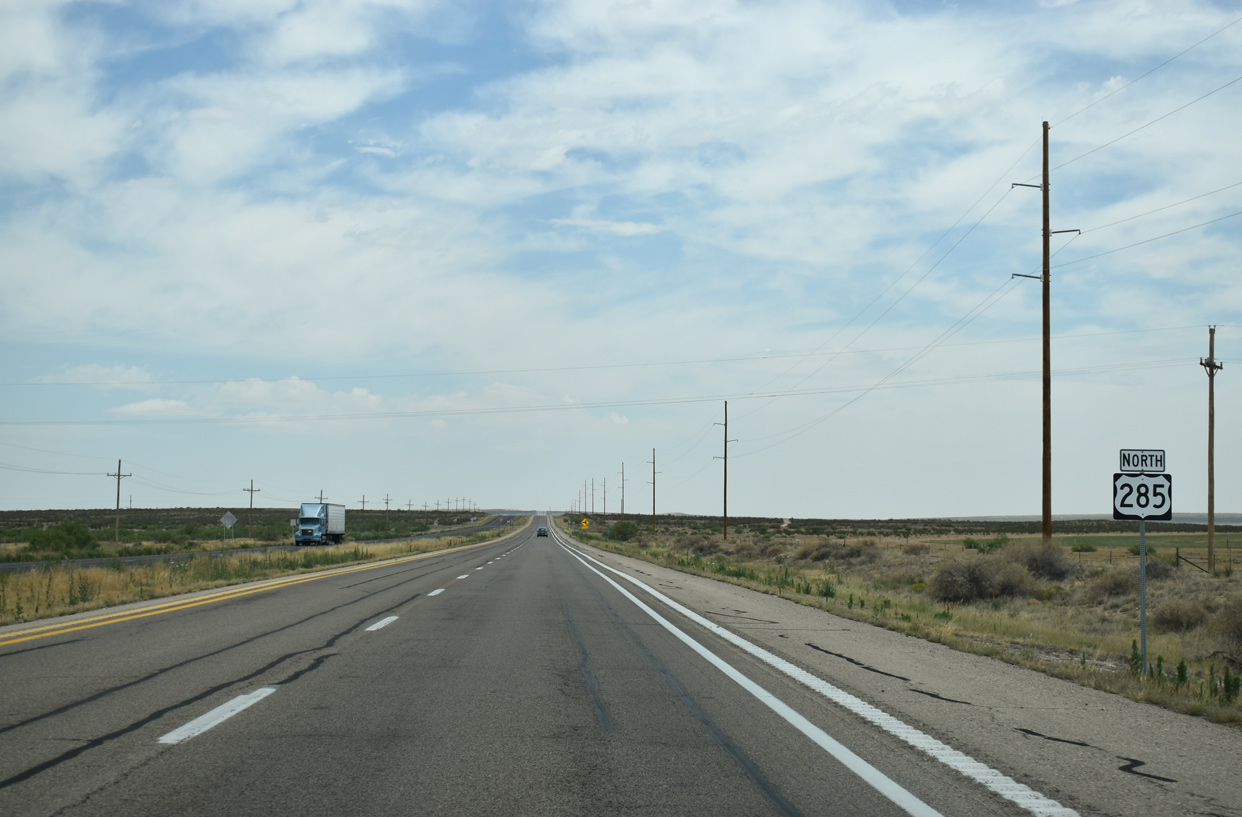
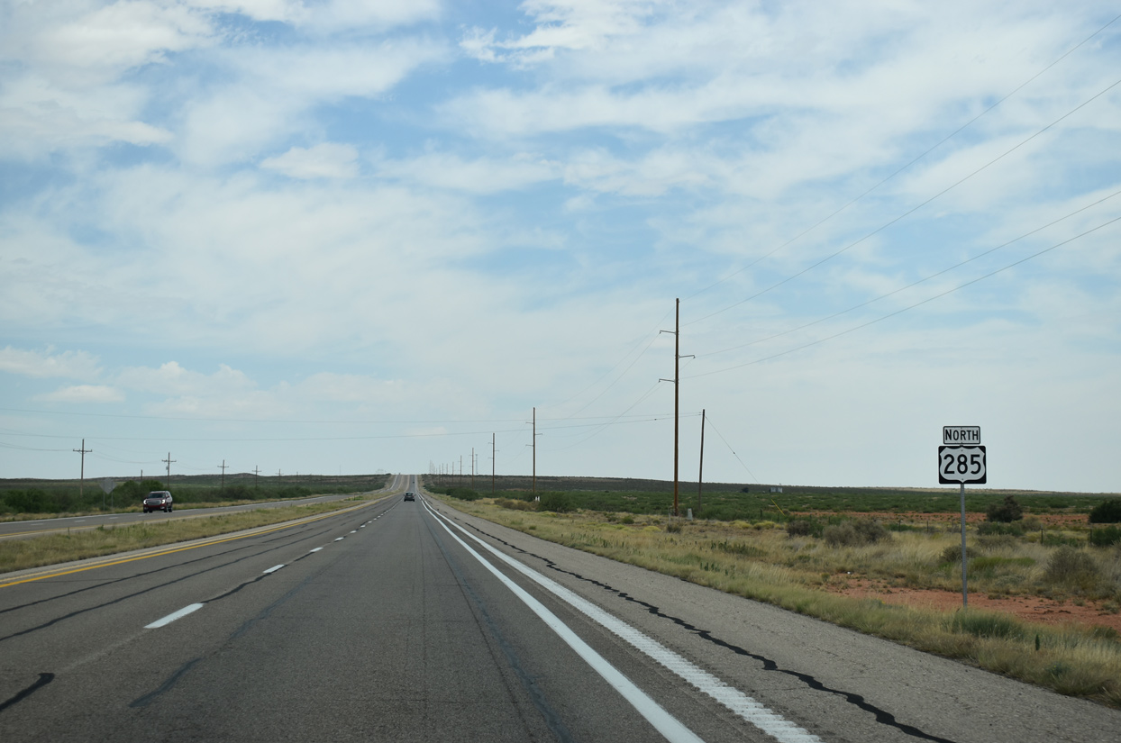
U.S. 285 parts ways with U.S. 70 and travels 90 miles north to U.S. 54/60 at Vaughn.
06/15/19

U.S. 70 angles northeast 85 miles from U.S. 285 and the Roswell Relief Route to the Roosevelt County seat of Portales.
06/15/19
North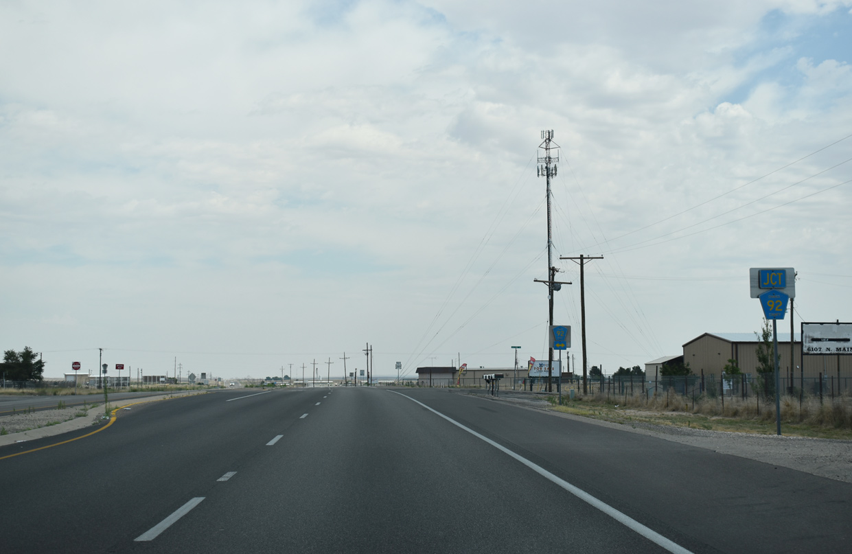
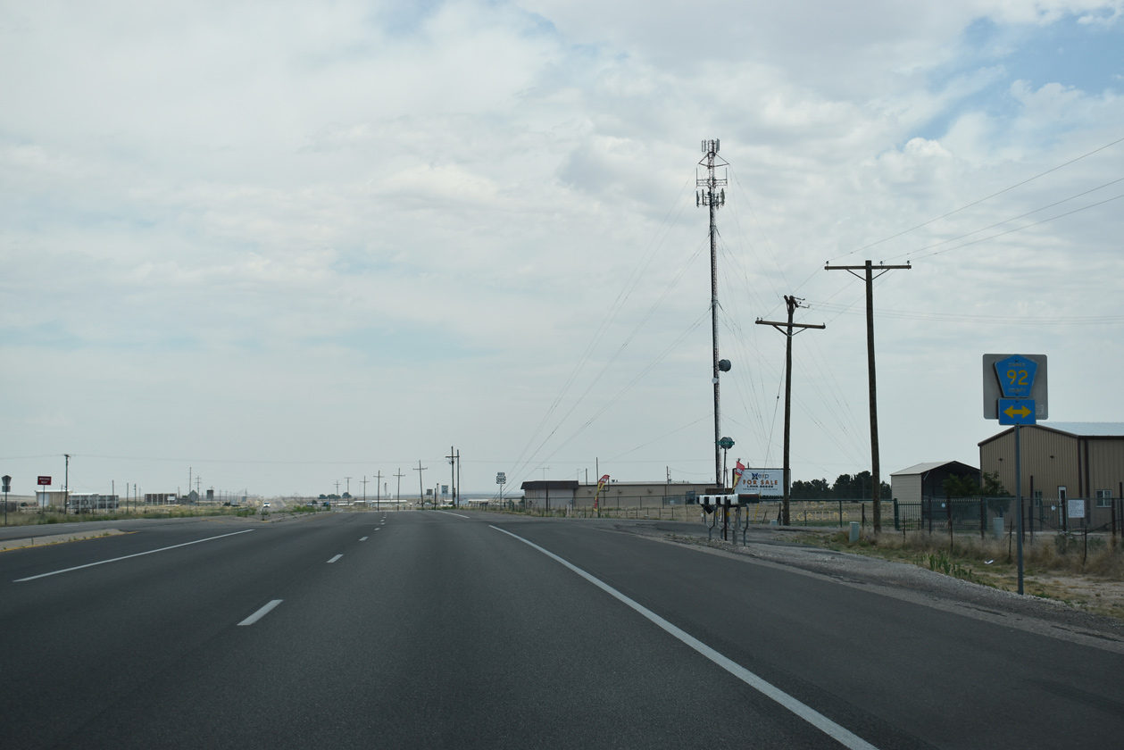
The first in a series of numbered county roads intersecting U.S. 285 north of the Roswell Relief Route is CR 92 (Gallina Road).
06/15/19
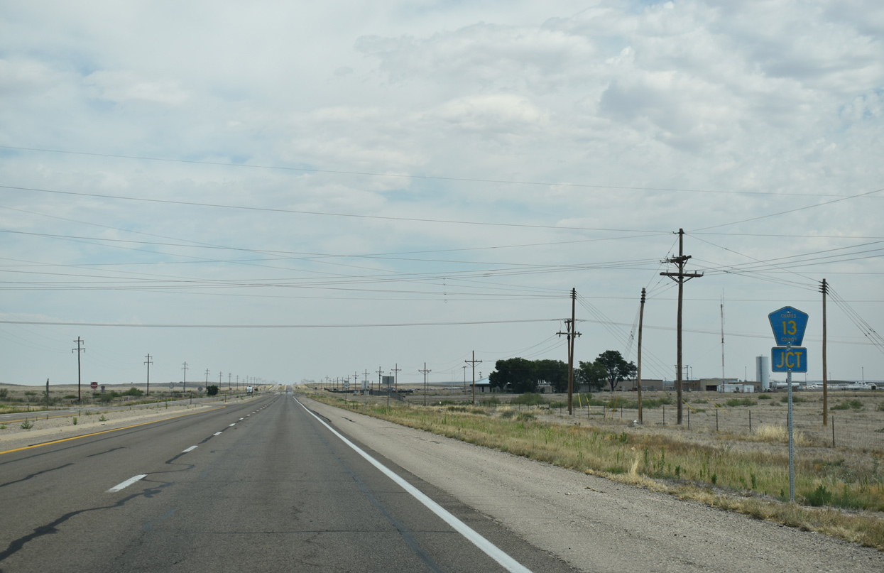
County Road 13 spurs northwest from U.S. 285 along Snap Dragon Road across open ranch land.
06/15/19
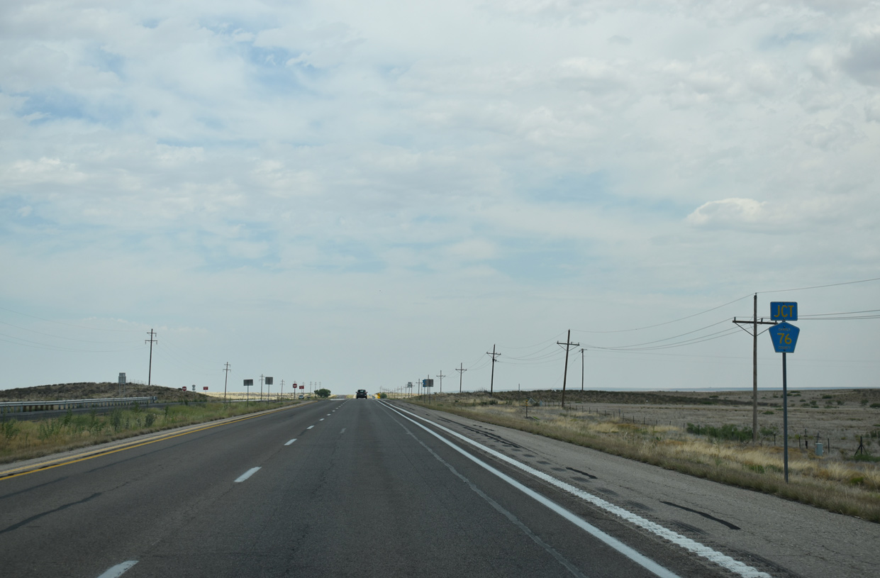
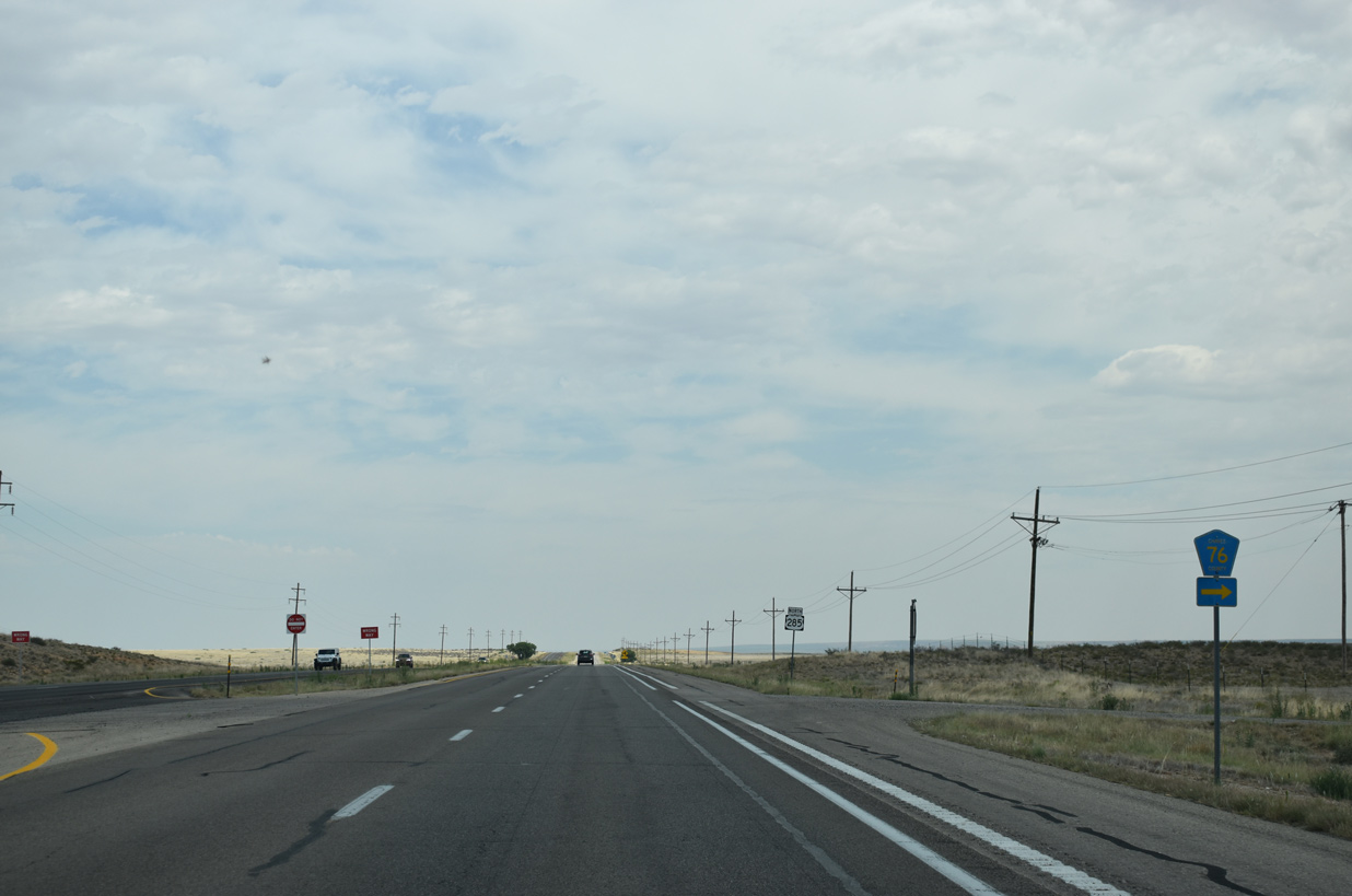
CR 76 spurs east from U.S. 285 along Glendale Road to an adjacent agricultural area.
06/15/19
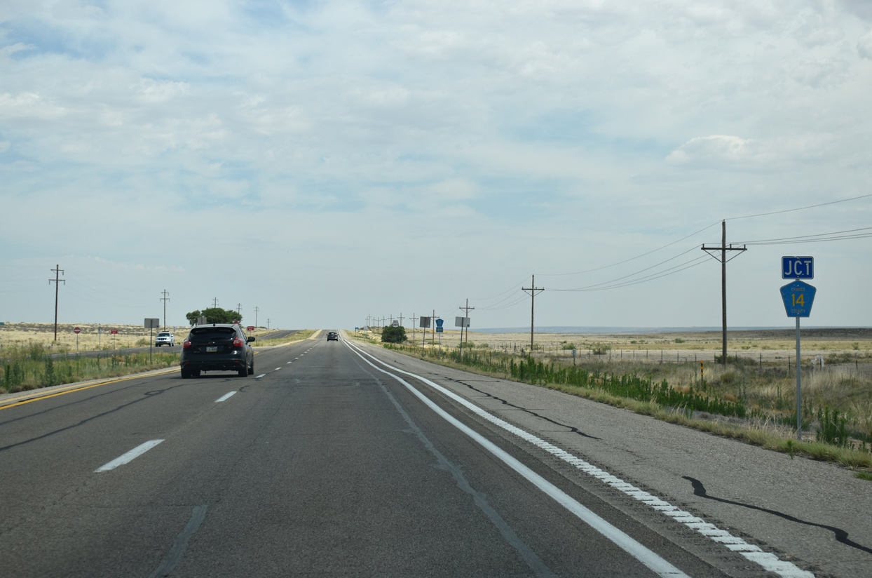
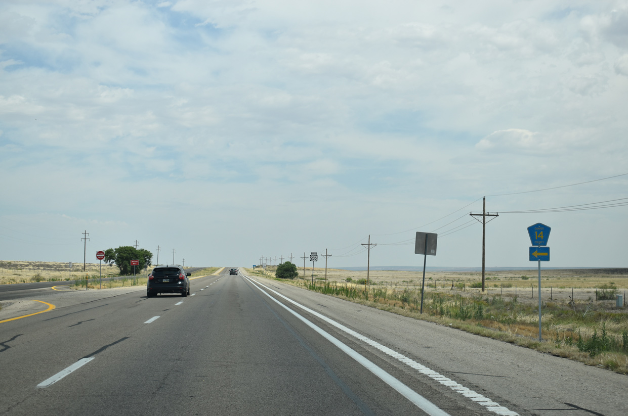
CR 14 stems less than a mile west from U.S. 285 along Bluebell Road.
06/15/19
U.S. 285 undulates northward, lowering 50 feet in elevation from 3,700 feet above sea level ahead of County Road 15.
06/15/19
Chaves County Road 15 extends east from U.S. 285 along One Horse Road to Cottonwood Road (CR 26) and the Salt Creek Wilderness area.
06/15/19
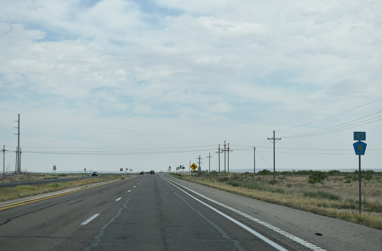
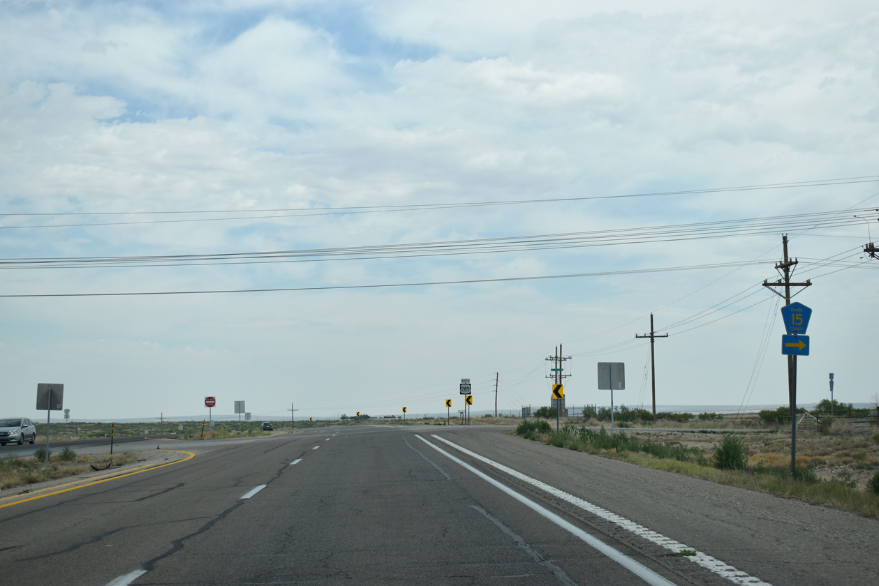
U.S. 285 makes a northwesterly turn from CR 15 to CR 75 (Primrose Road).
06/15/19
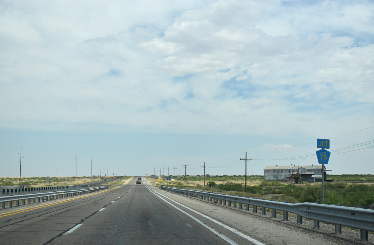
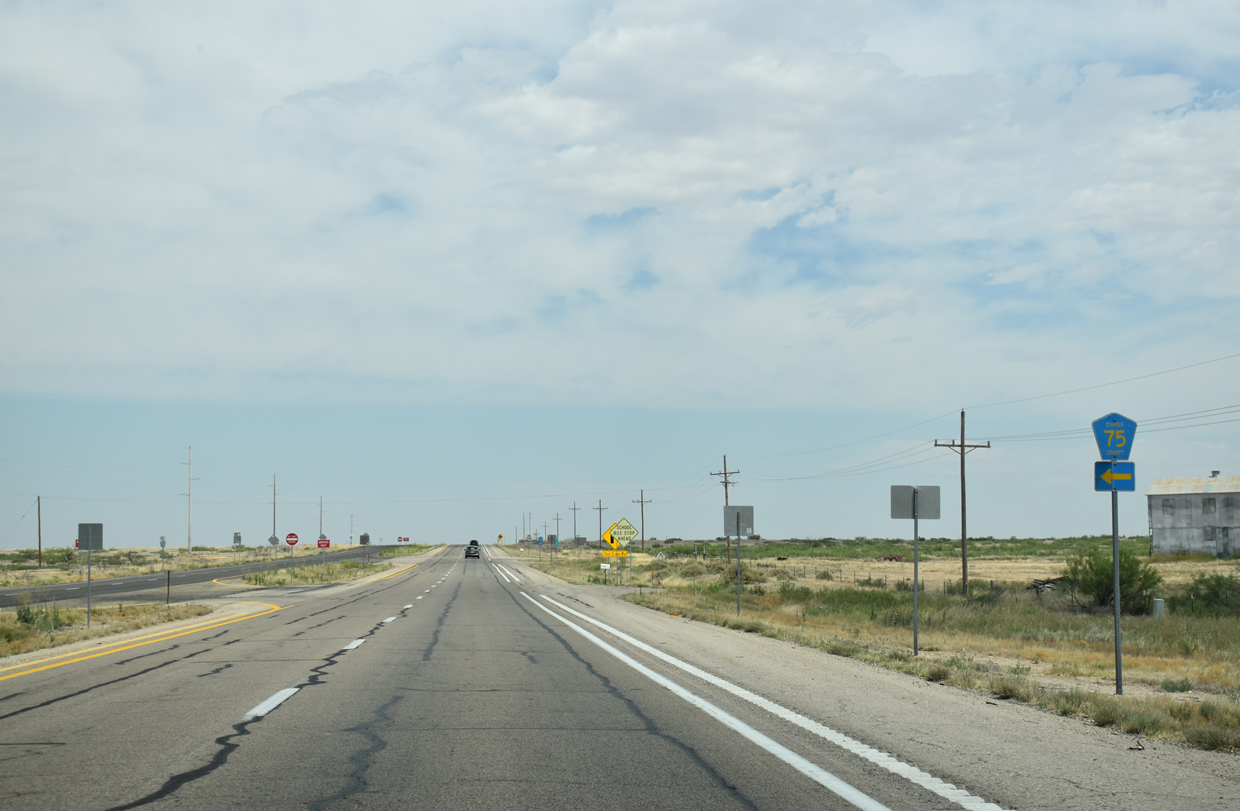
Crossing Salt Creek, U.S. 285 north intersects CR 75, a short spur west to nearby ranch land.
06/15/19
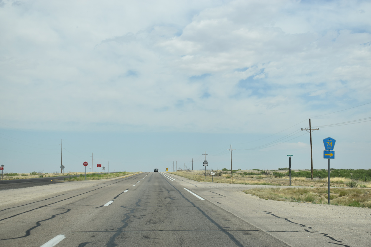
CR 74 follows from U.S. 285 just north of CR 75 along Salt Creek Road east to Garcia Flat.
06/15/19
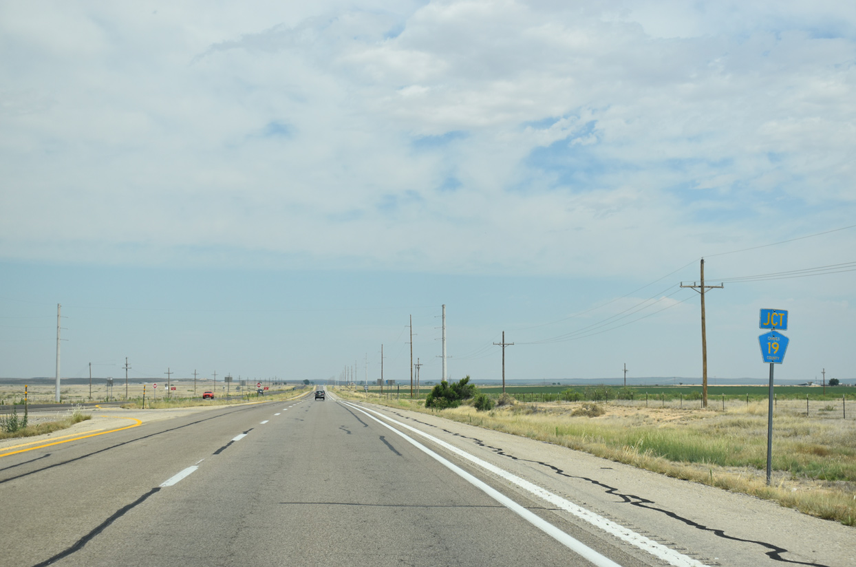
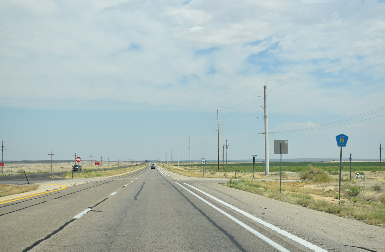
CR 19 mirrors the course of CR 74 (Salt Creek Road) to the north along Knubbin Road east from U.S. 285.
06/15/19
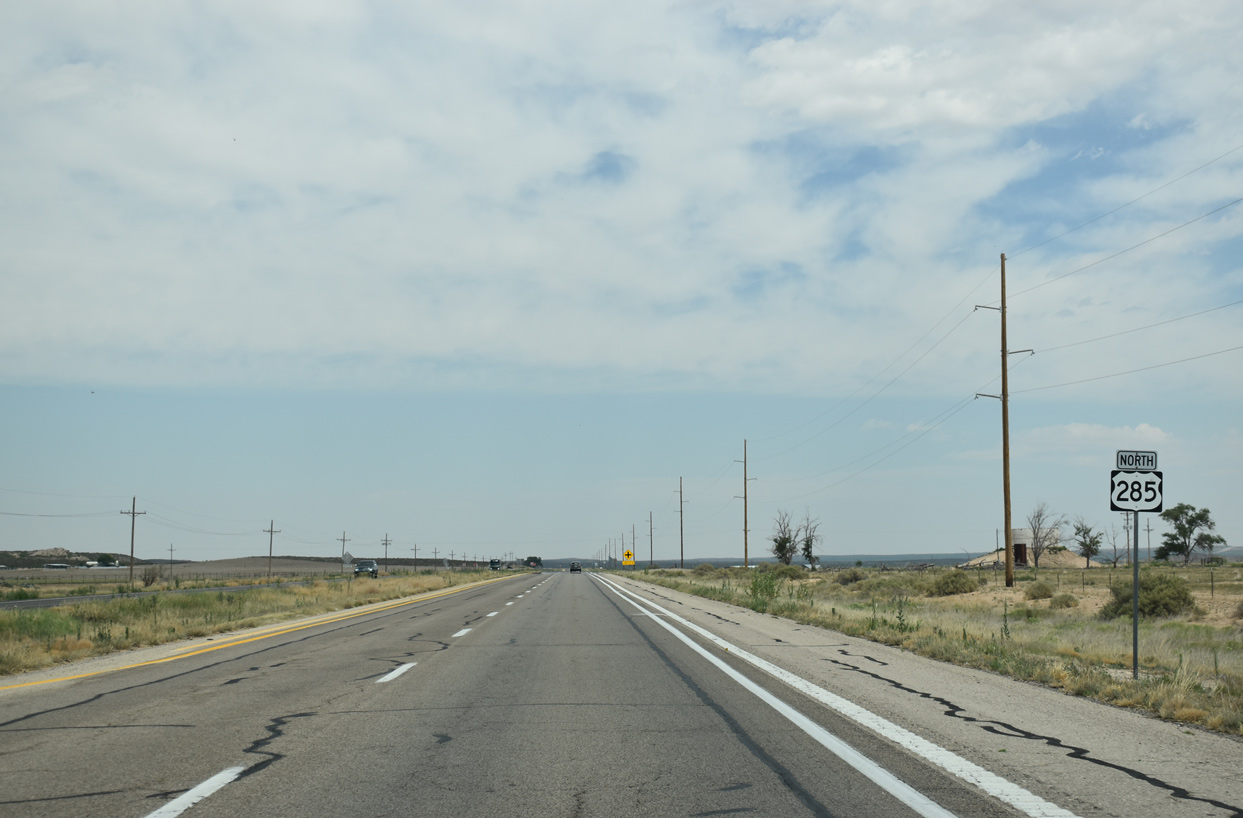
Approaching Nola Lane west and Hildago Road east on U.S. 285 northbound.
06/15/19
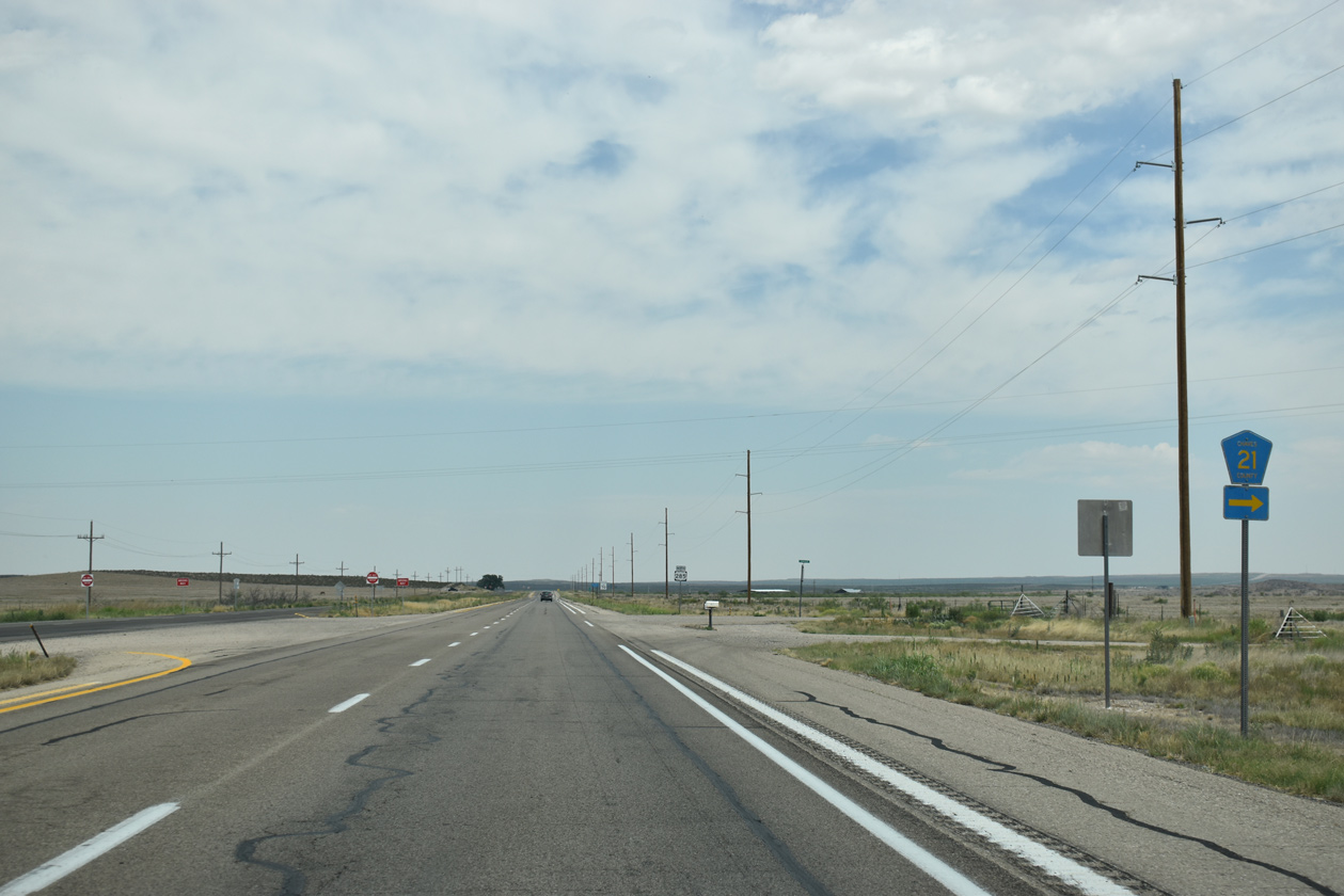
Hildago Road east from U.S. 285 to Eden Valley doubles as County Road 21.
06/15/19
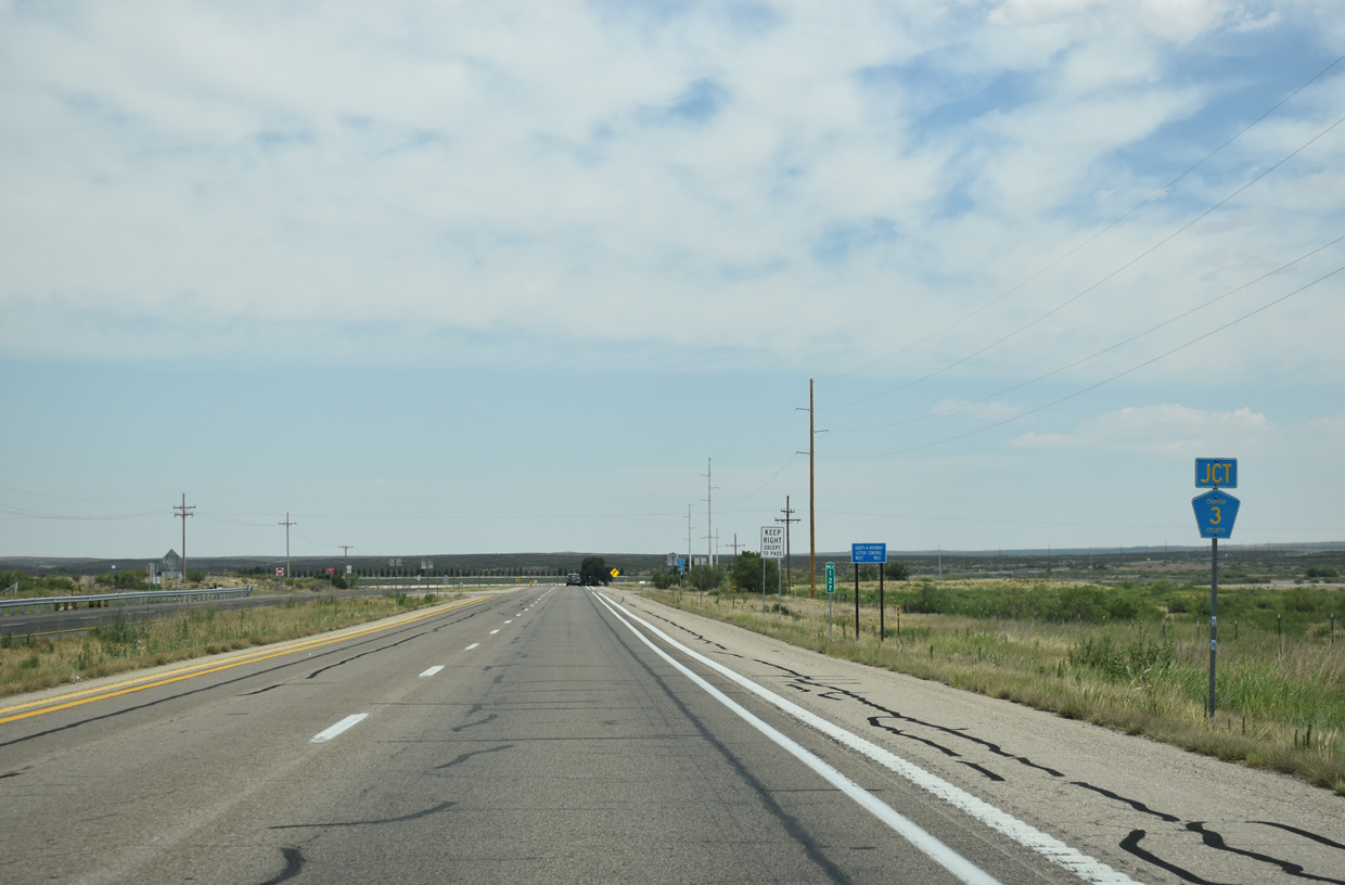
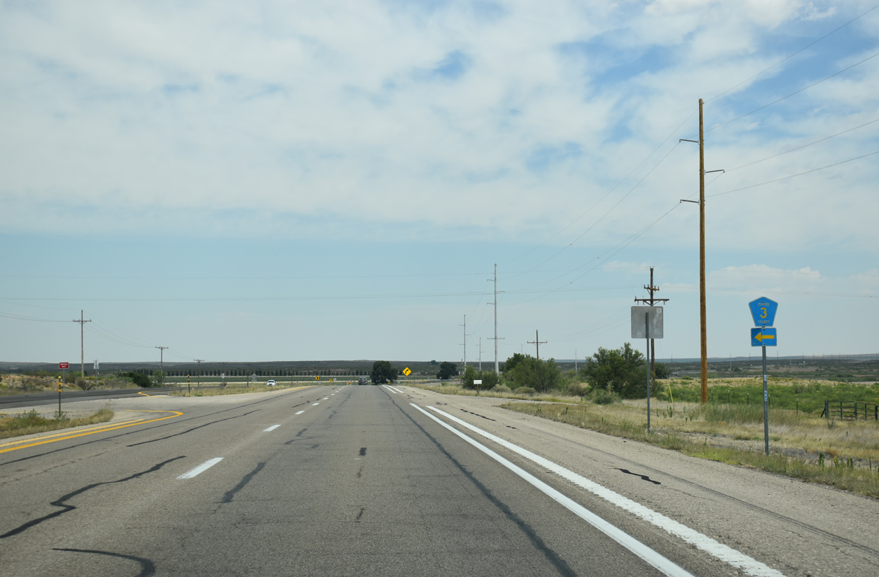
U.S. 285 continues north from CR 21 to CR 3 (Verbena Road) west.
06/15/19
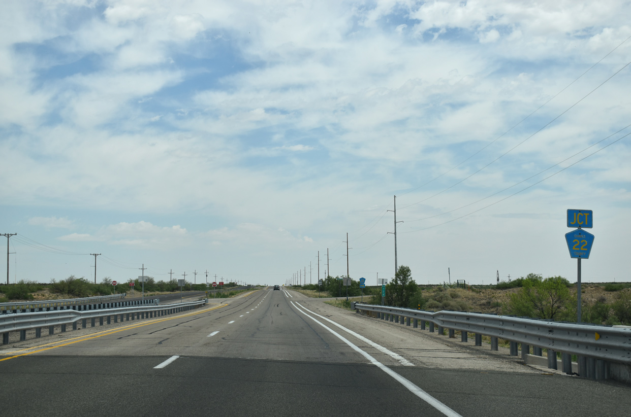
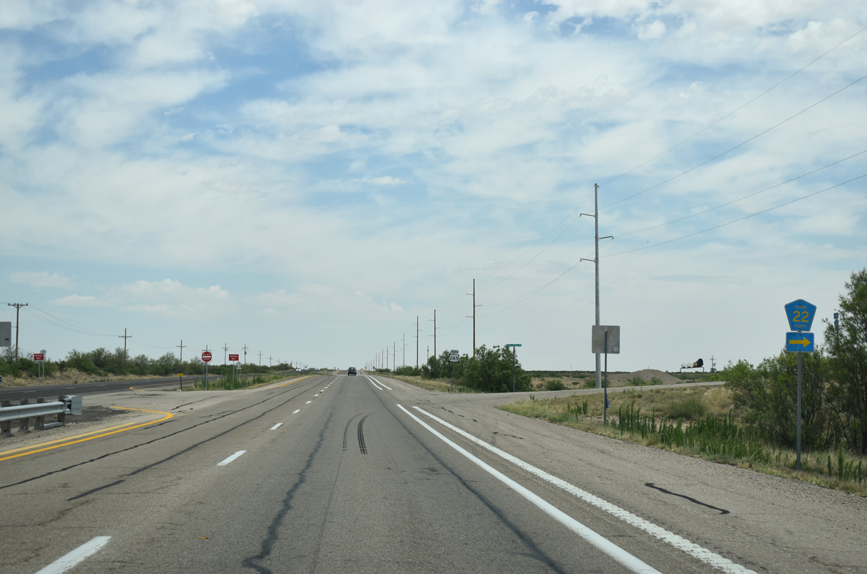
Bending northward again, U.S. 285 spans Arroyo del Macho and intersects CR 22 (Eden Valley Road) east.
06/15/19
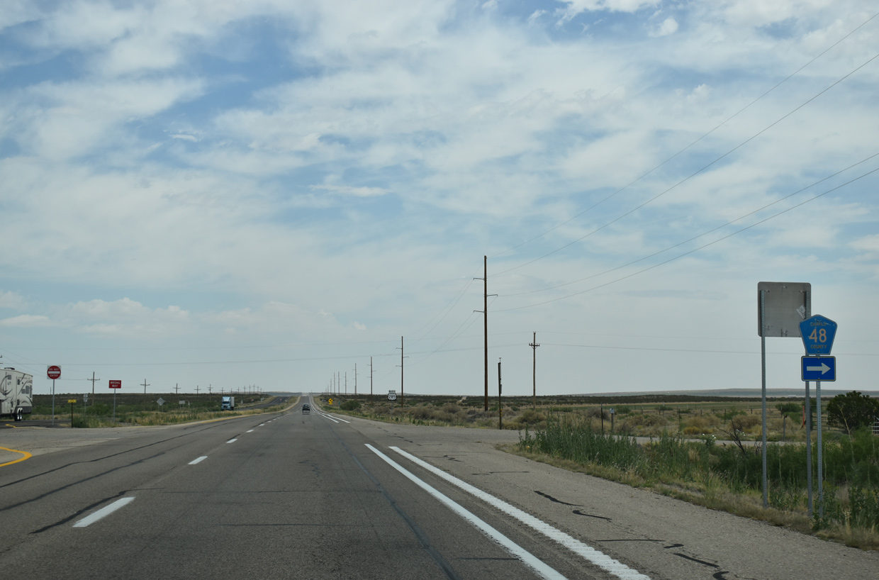
CR 48 (Otero Road) spurs east to an adjacent homestead from U.S. 285.
06/15/19
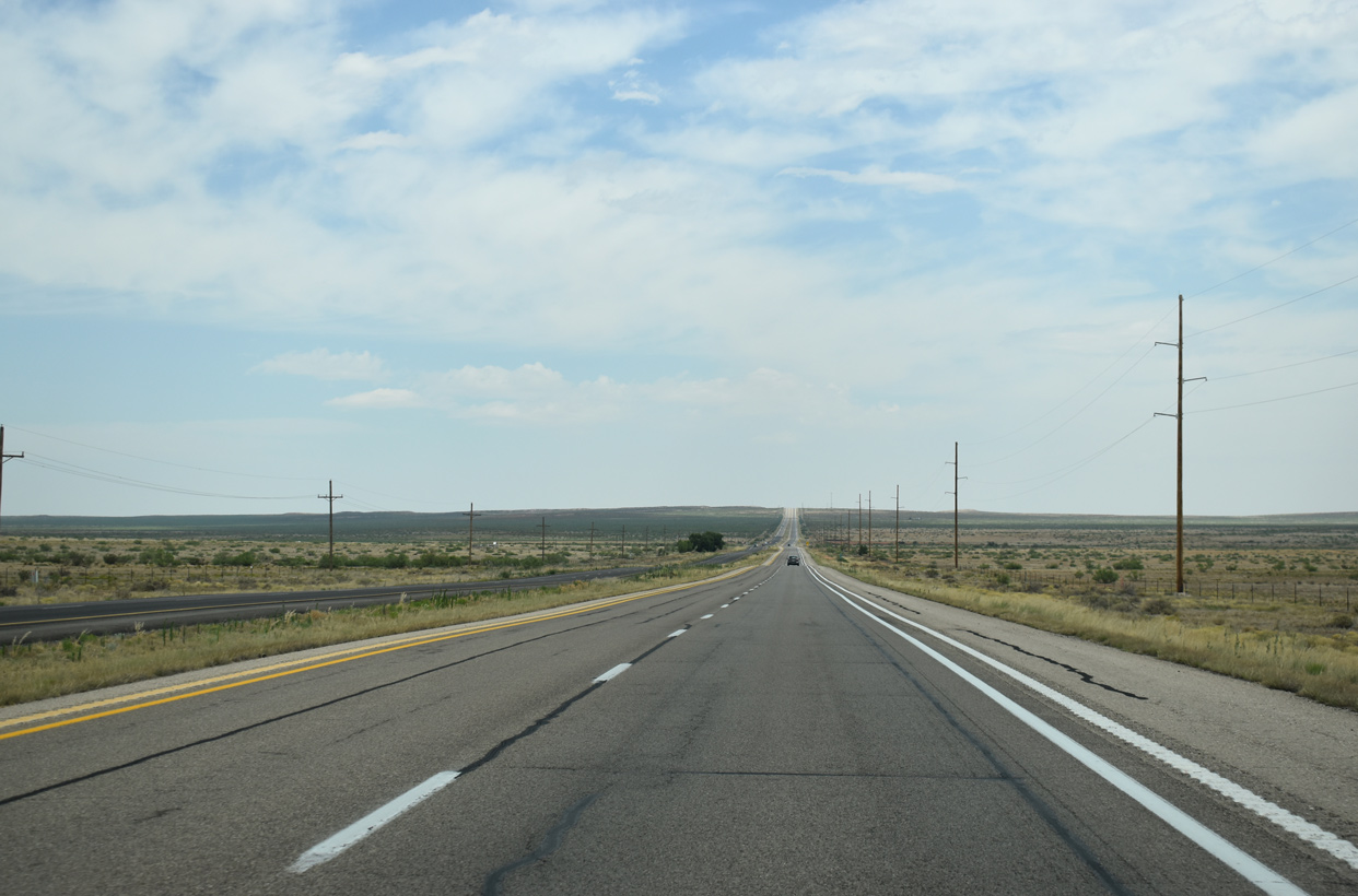
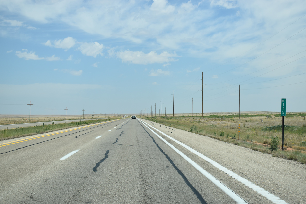
U.S. 285 gains 400 feet in elevation between mile markers 129 and 135 along the long straight away northward across Marley Draw.
06/15/19
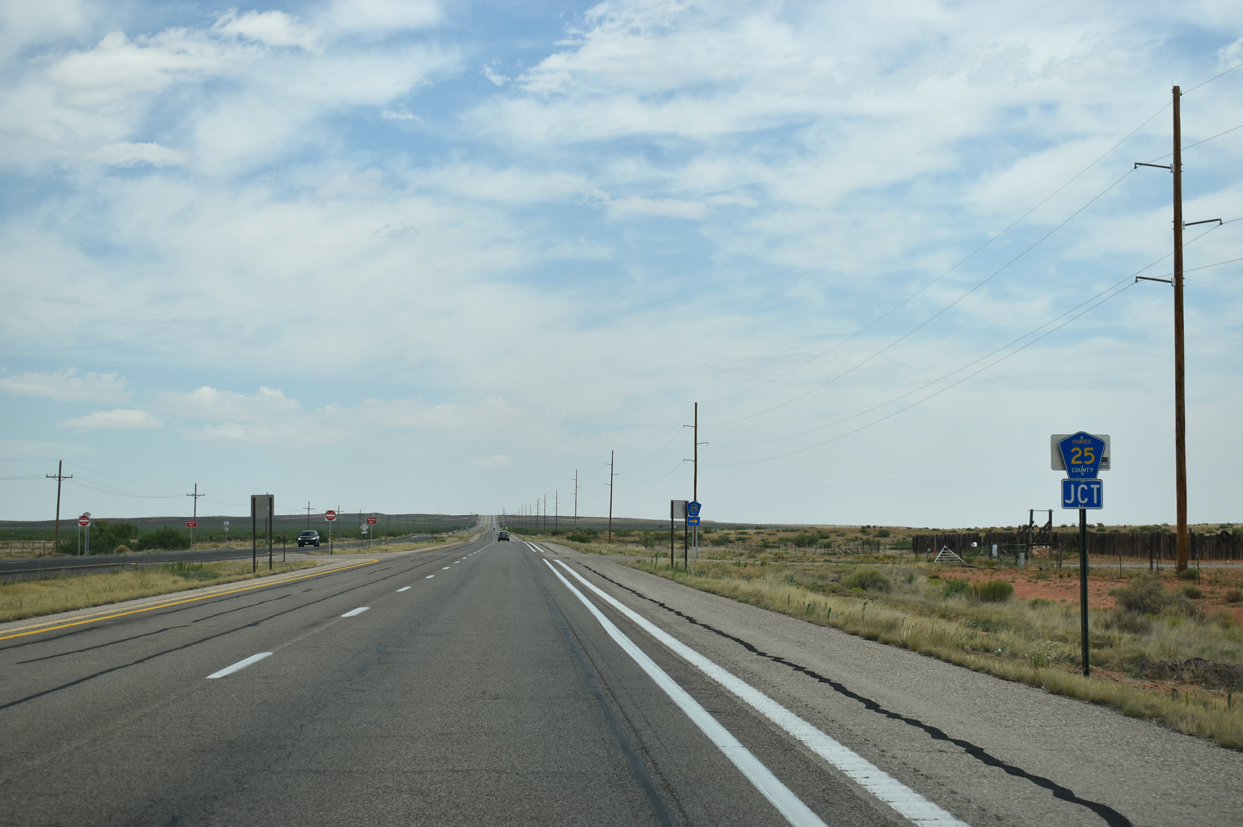
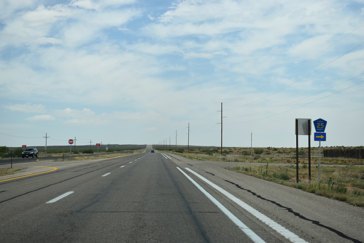
A series of numbered county roads tie into U.S. 285 from ranch areas north of Marley Draw starting with CR 25 (Curry Road) east.
06/15/19
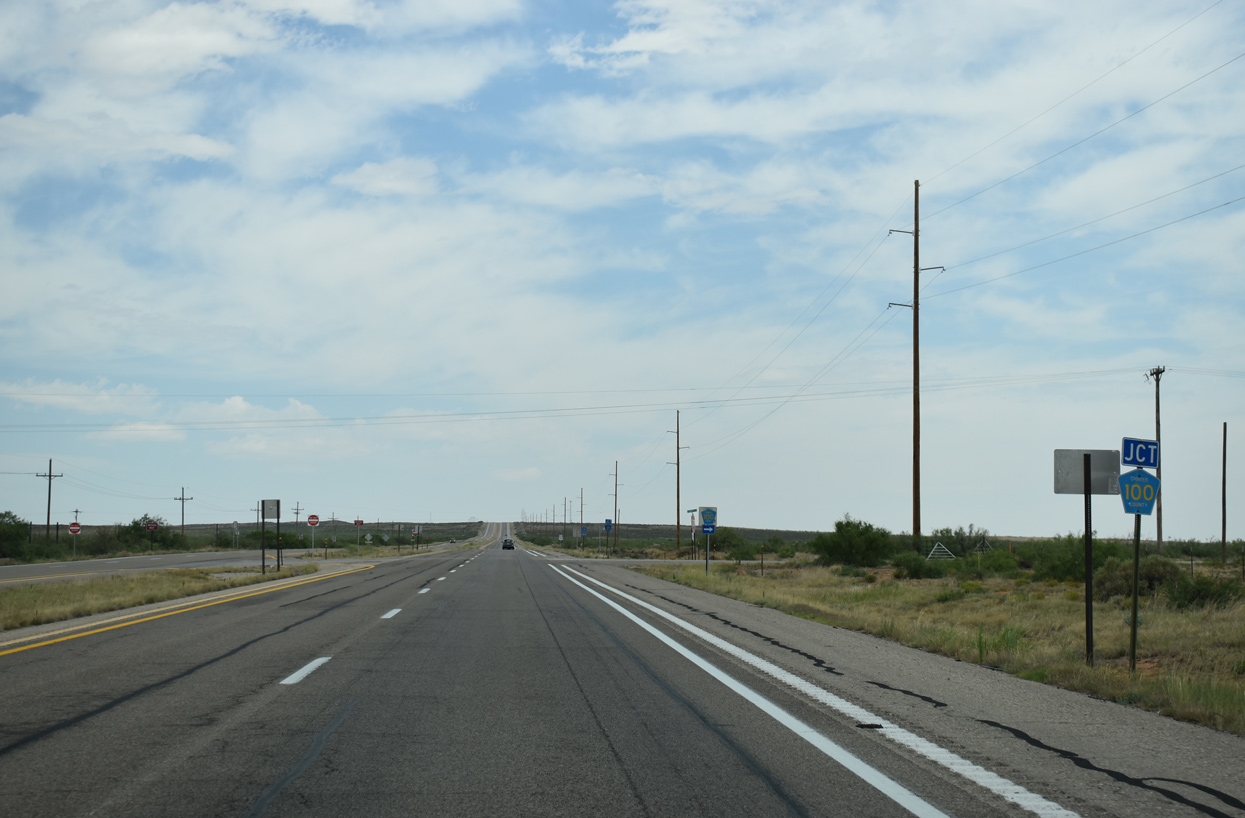
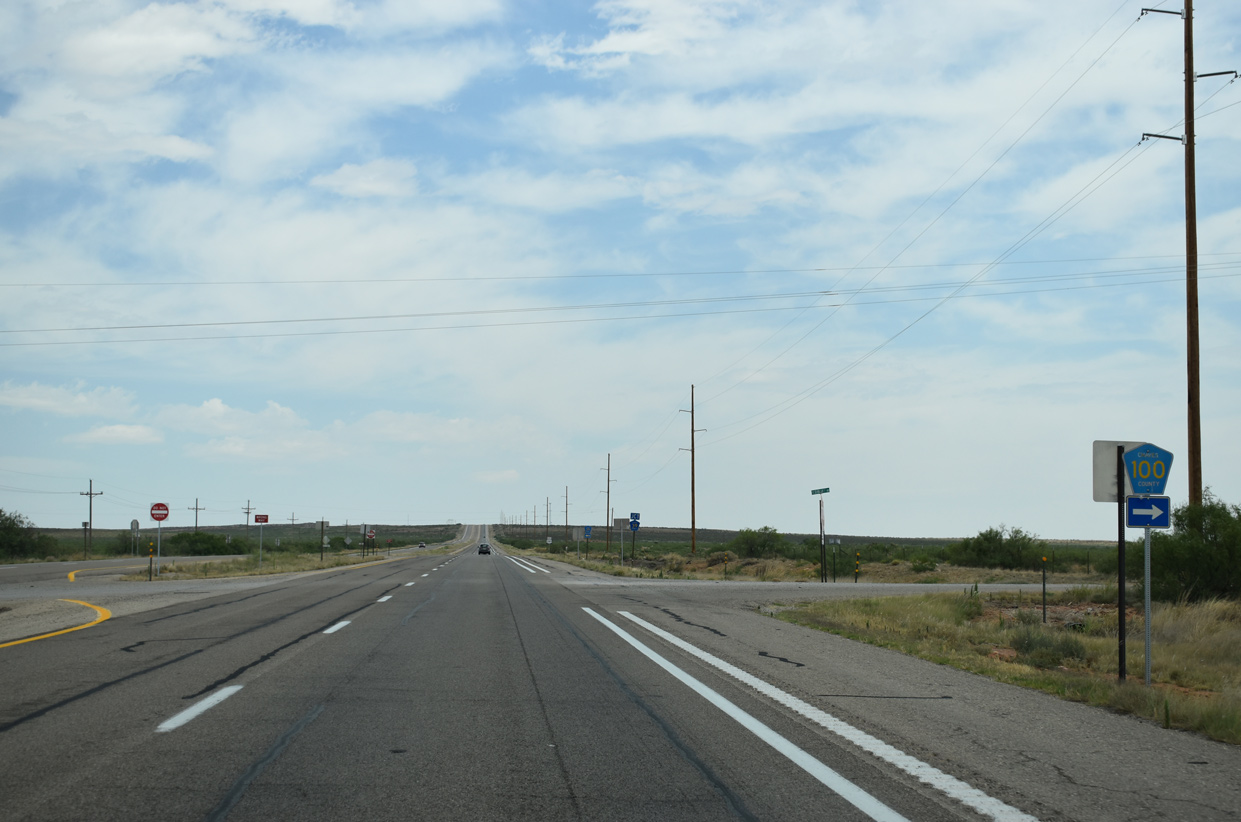
Chaves County Road 100 follows Red Bluff Road 12.4 miles east from U.S. 285 to CR 26 (Cottonwood Road).
06/15/19
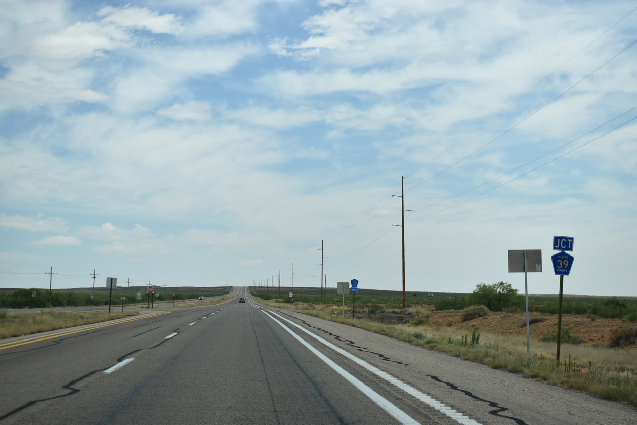
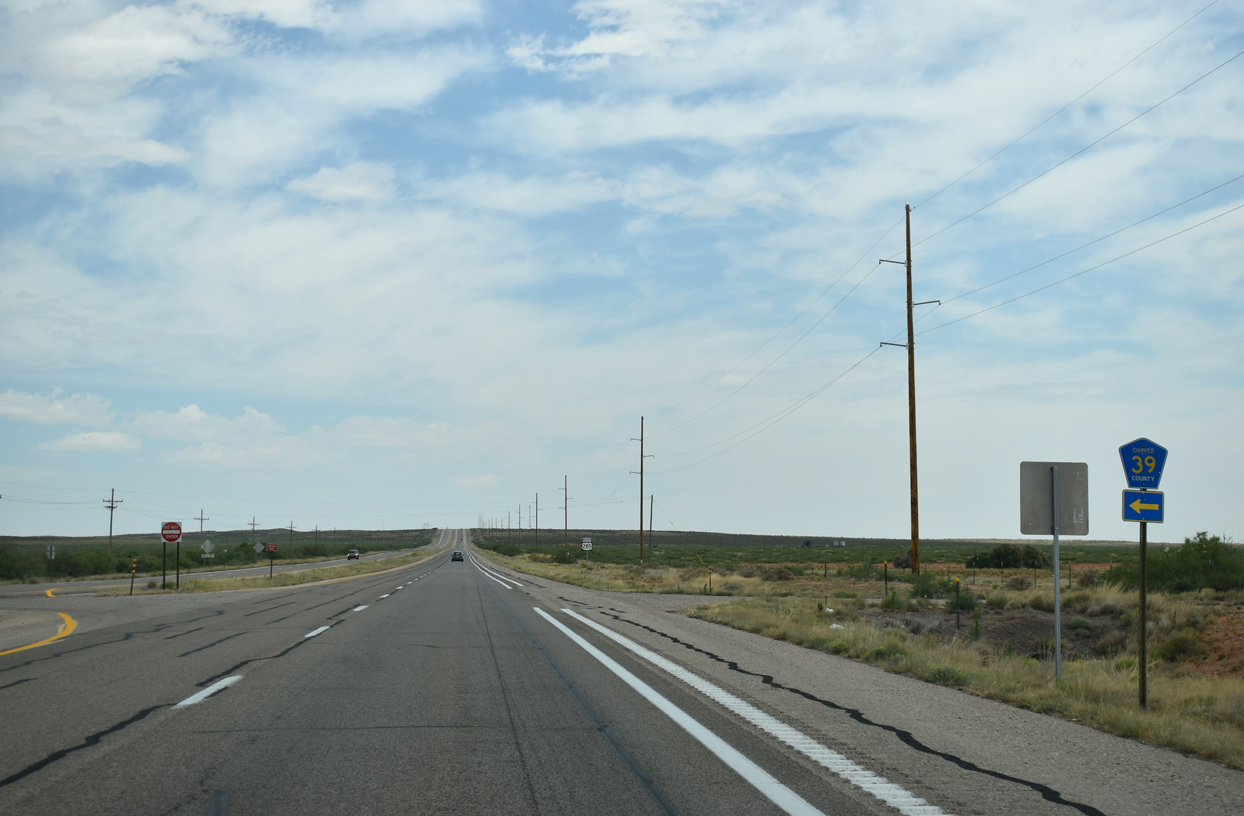
Bitterroot Road (CR 39) leads west from U.S. 285 at the adjacent intersection north of CR 100.
06/15/19
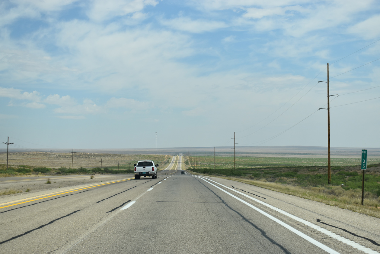
U.S. 285 crests around 4,150 feet above sea level at mile marker 135.
06/15/19
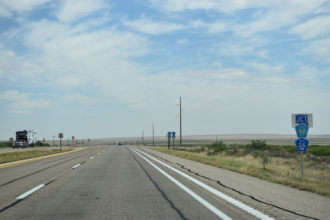
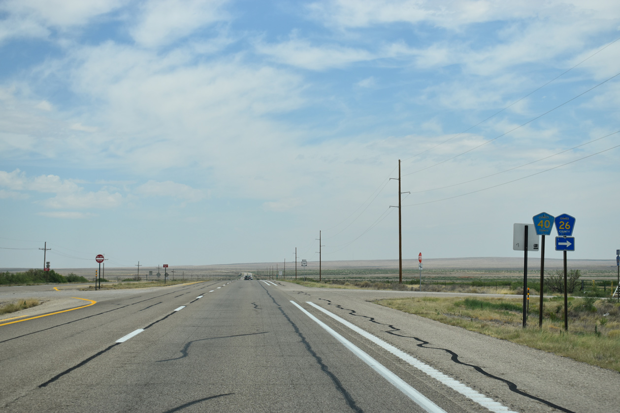
CR 26 (Cottonwood Road) west and CR 40 (Stargrass Road) east come together at U.S. 285 near mile marker 137.
06/15/19
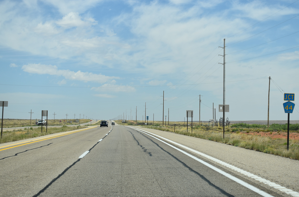
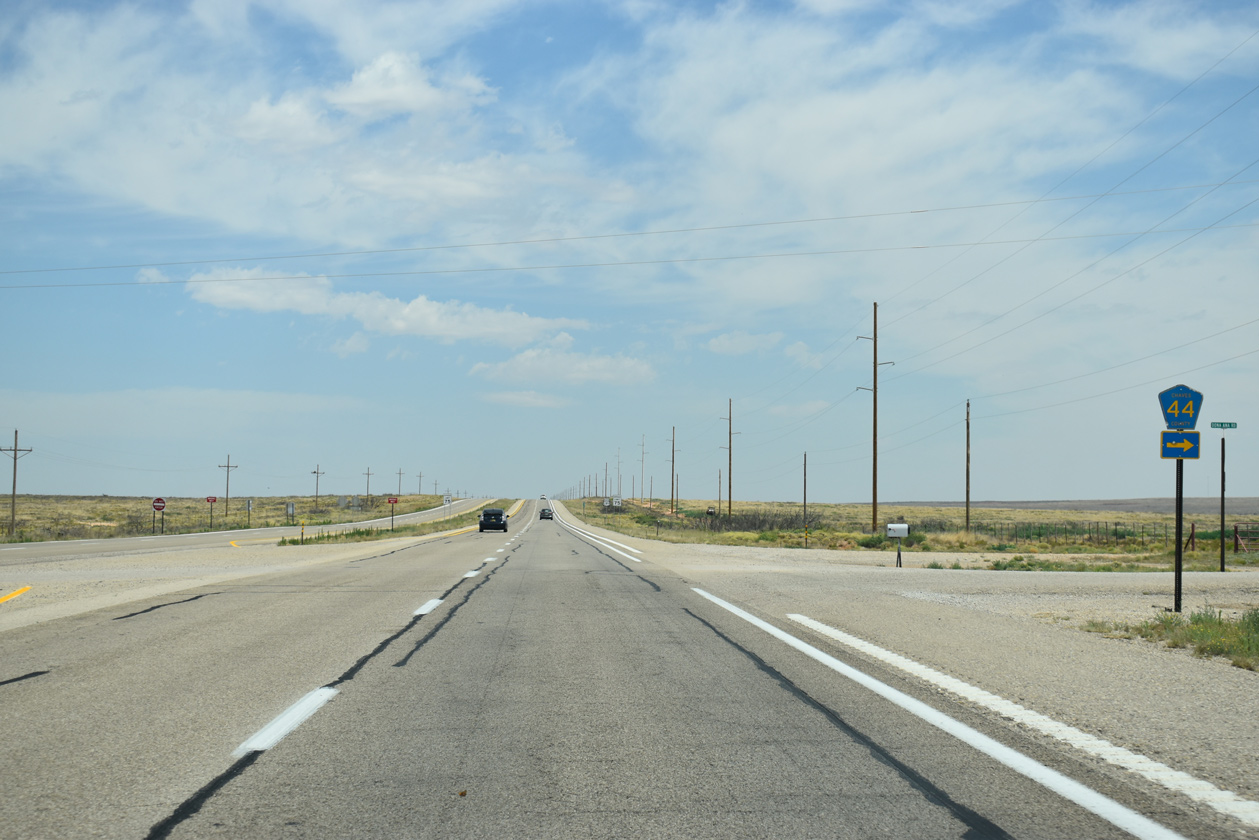
Chaves County Road 44 stems east from U.S. 285 along Dona Ana Road to Hobbs Canyon Ranch and other ranches south of Huggins Draw.
06/15/19
The speed limit along U.S. 285 north increases to 75 miles per hour northbound beyond CR 44 (Dona Ana Road).
06/15/19
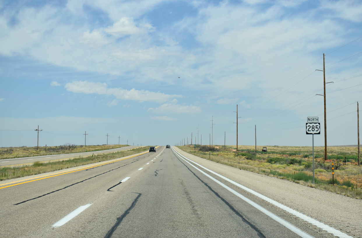
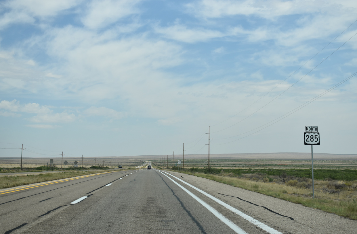
U.S. 285 parallels the East Fork of Fivemile Draw northward toward NM 20.
06/15/19
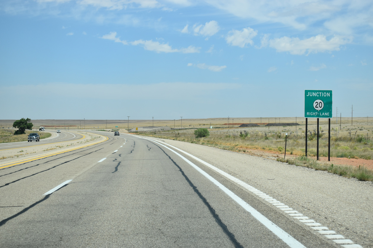
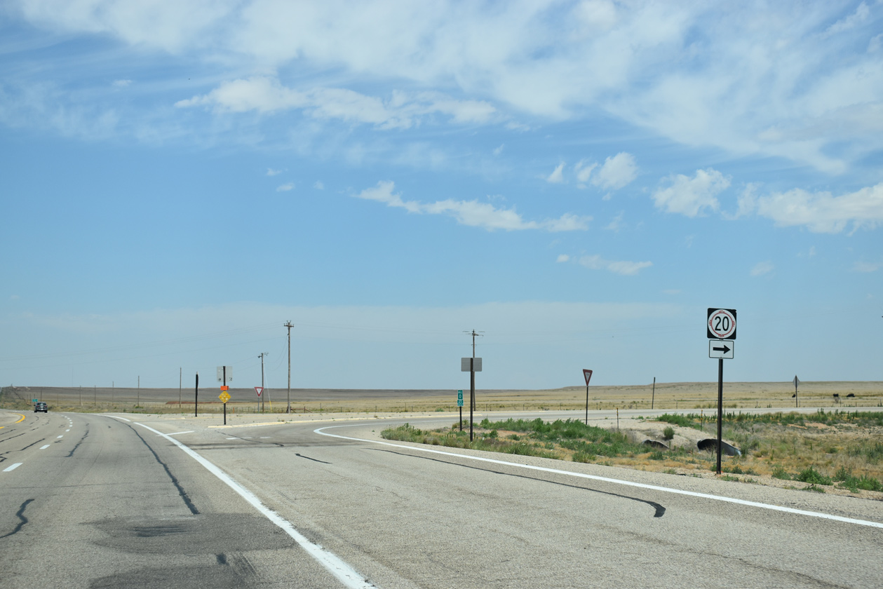
Forthcoming State Road 20 (Fort Sumner Road) provides a cutoff from U.S. 285 north to U.S. 60 and U.S. 84 at the village of Fort Sumner.
06/15/19
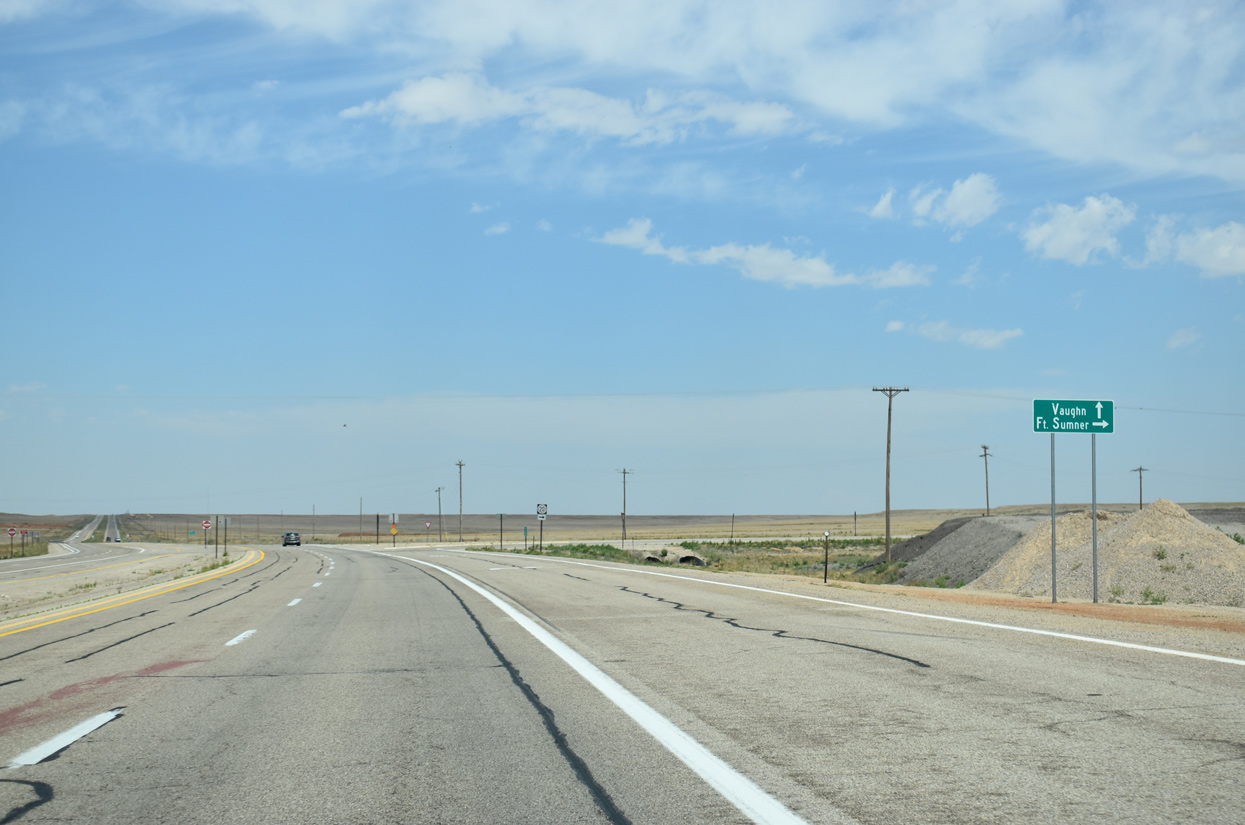
NM 20 branches northeast from U.S. 285 along a 45.91 mile course between Conejo Mesa and Fort Sumner Valley to U.S. 60 near the Pecos River.
06/15/19
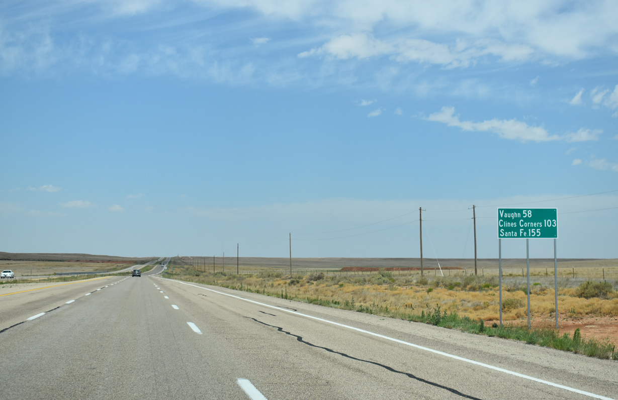
Progressing northwest from NM 20, U.S. 285 converges with U.S. 54 and U.S. 60 at Vaughn in 58 miles, I-40 at Clines Corners in 103 miles, and I-25 at Santa Fe in 155 miles.
06/15/19
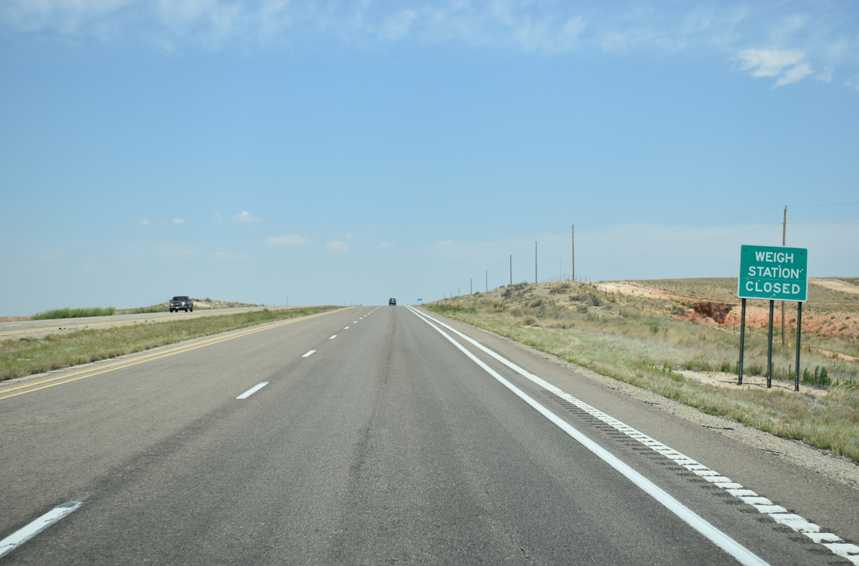
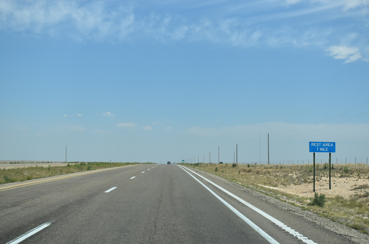
U.S. 285 advances north to the Mesa Rest Area, which doubles as a weigh station.
06/15/19

North from the Mesa Rest Area, U.S. 285 travels 56 miles to Vaughn and 100 miles to Clines Corners.
06/15/19
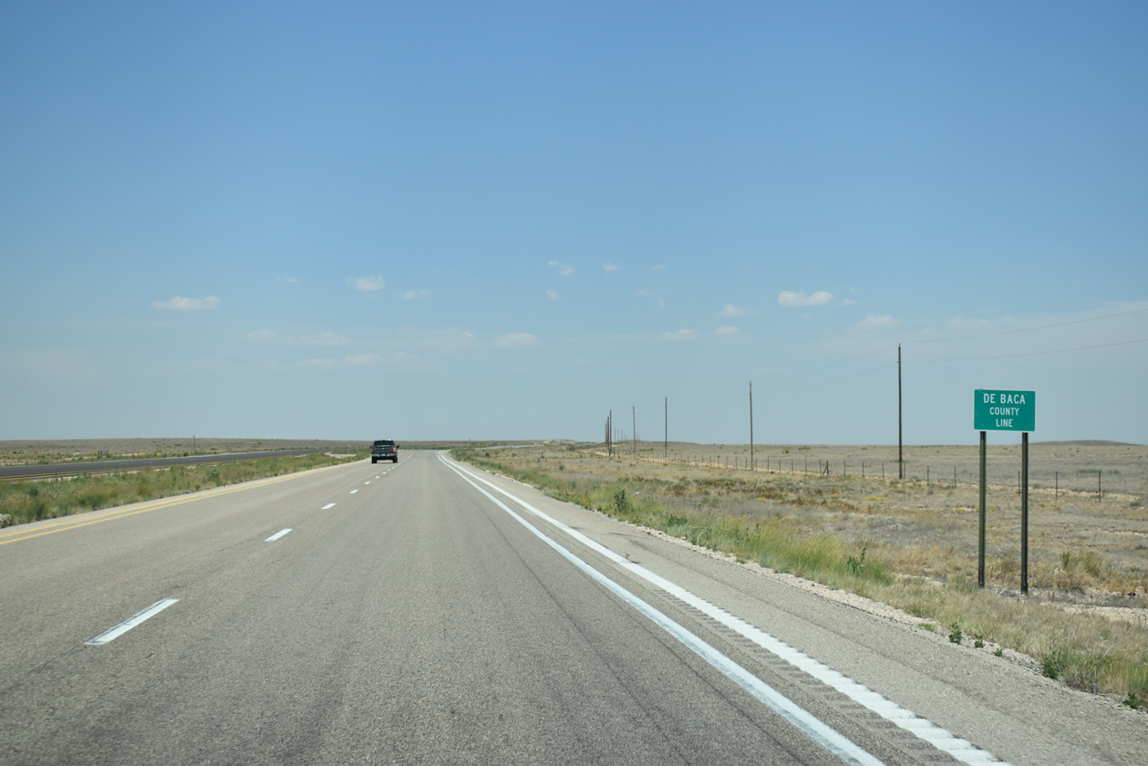
U.S. 285 enters De Baca County west of Poquita Mesa and north of mile marker 154.
06/15/19
References:
- US-70 over US-285, Chaves County, New Mexico. http://bridgereports.com/1373474 BridgeReports.com
Photo Credits:
- Alex Nitzman: 06/15/19, 06/21/19, 06/22/19
Connect with:
Page Updated Friday June 28, 2019.