
U.S. 322
U.S. 322 measures 61.9 miles in length from Cleveland east to the Pennsylvania state line at Pymatuning Reservoir in northeastern Ohio. Originating at Public Square, where U.S. 42 and U.S. 422 also begin, U.S. 322 overlaps with U.S. 6 east along Superior Avenue 0.51 miles at Downtown Cleveland. U.S. 322 shifts southward at E 13th Street onto Chester Avenue east to I-90 and the Goodrich - Kirtland Park neighborhood.
Paralleling U.S. 20, U.S. 322 (Chester Avenue) continues east across Cleveland to the Hough and University neighborhoods. U.S. 20/322 combine for 0.49 miles across Case Western Reserve University along Euclid Avenue. U.S. 20 continues northeast along Euclid Avenue to the city of East Cleveland while U.S. 322 follows Mayfield Road east into Cleveland Heights, South Euclid, Lyndhurst and Mayfield Heights.
U.S. 322 (Mayfield Road) leaves the Cleveland suburbs through the village of Gates Mills. The remainder of U.S. 322 is rural highway, crossing Geauga County from Chesterland to Huntsburg and Ashtabula County from Windsor Mills and Williamsfield.
 East
East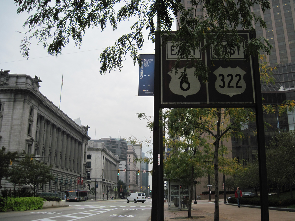
U.S. 322 begins east alongside U.S. 6 (Superior Avenue) from Public Square in Downtown Cleveland. The route is unmarked here now.
09/30/10
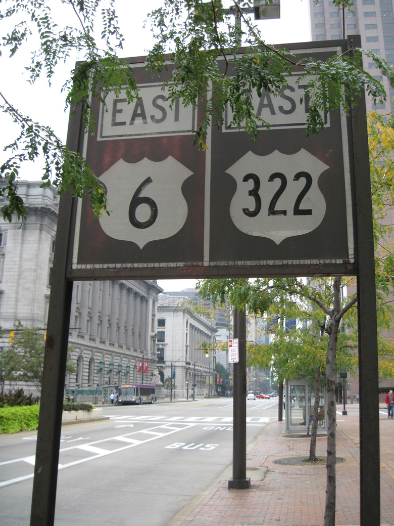
The first confirming marker for U.S. 322 east was a city-installed assembly on Superior Avenue between Ontario Street (U.S. 422) and E Roadway. Superior Avenue was converted for buses only when Public Square was redeveloped.
09/30/10
West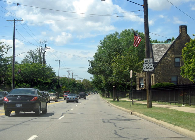
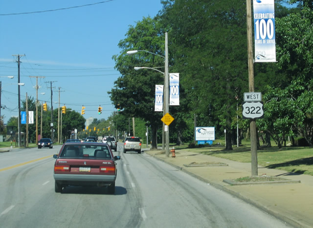
U.S. 322 (Mayfield Road) west after the intersection with Coventry Road in the city of Cleveland Heights.
08/10/06
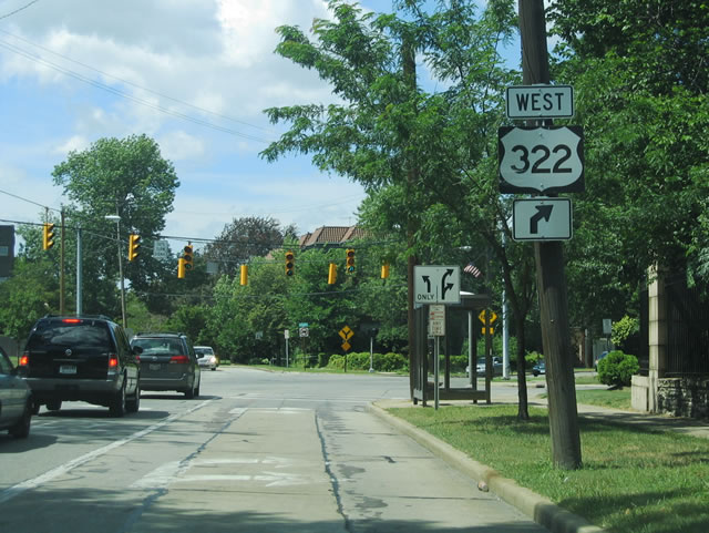
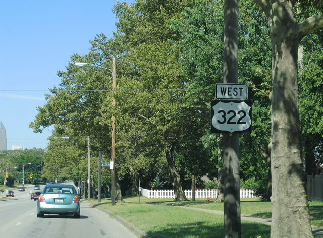
U.S. 322 (Mayfield Road) shifts west toward Little Italy in Cleveland at Kenilworth Road.
08/10/06
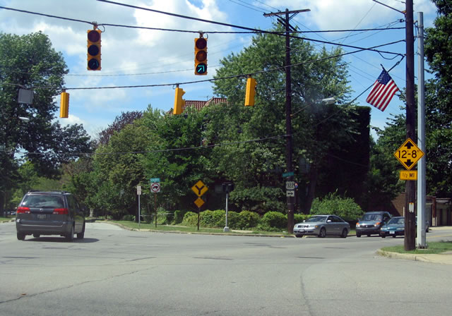
Kenilworth Road branches southwest to residential areas along Euclid Heights Boulevard.
08/10/06
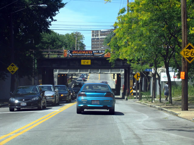
Continuing into Cleveland, U.S. 322 (Mayfield Road) west descends below Norfolk Southern and CSX Railroad lines beyond E 119th Street.
08/10/06
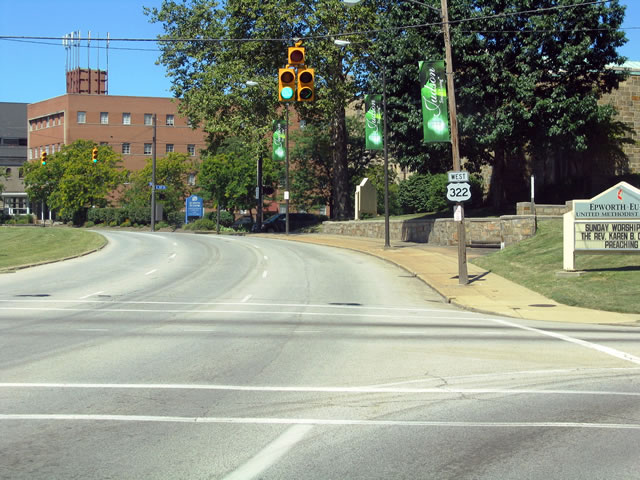
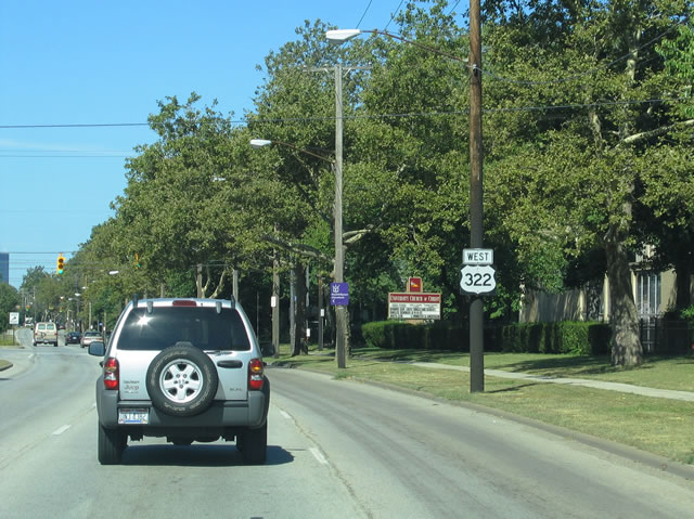
U.S. 322 separates with U.S. 20 (Euclid Avenue) at Case Western Reserve University for Martin Luther King, Jr. Drive west to Chester Avenue.
08/10/06
Reassurance marker posted west of E 105th Street. U.S. 322 follows Chester Avenue west to E 13th Street.
08/10/06
U.S. 322 (Chester Avenue) west at E 89th Street in the Hough neighborhood of Cleveland.
08/10/06
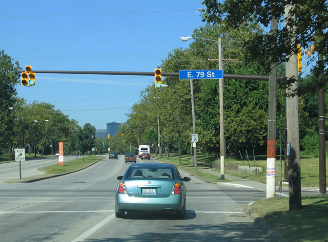
U.S. 322 (Chester Avenue) intersects E 79th Street by The Shops at Church Square.
08/10/06
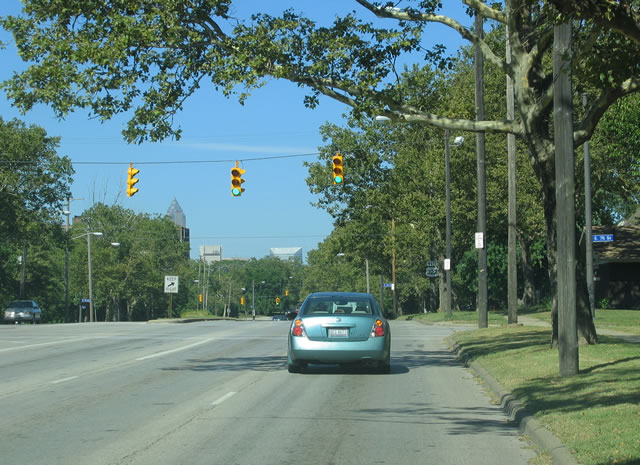
Chester Avenue west at E 75th Street.
08/10/06
Reassurance marker posted west of E 75th Street.
08/10/06
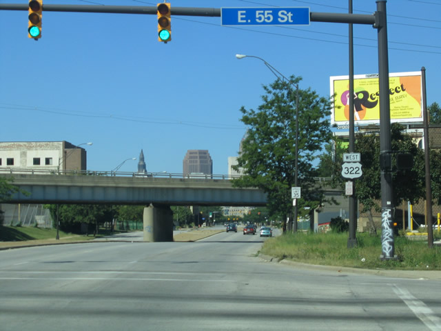
E 55th Street heads south from U.S. 322 to the Central Neighborhood and north to U.S. 6 (Superior Avenue) and SR 283 the St. Clair-Superior neighborhood.
08/10/06
Photo Credits:
- ABRoads: 09/30/10
- Justin Cozart: 08/10/06
Connect with:
Page Updated Tuesday August 03, 2021.