
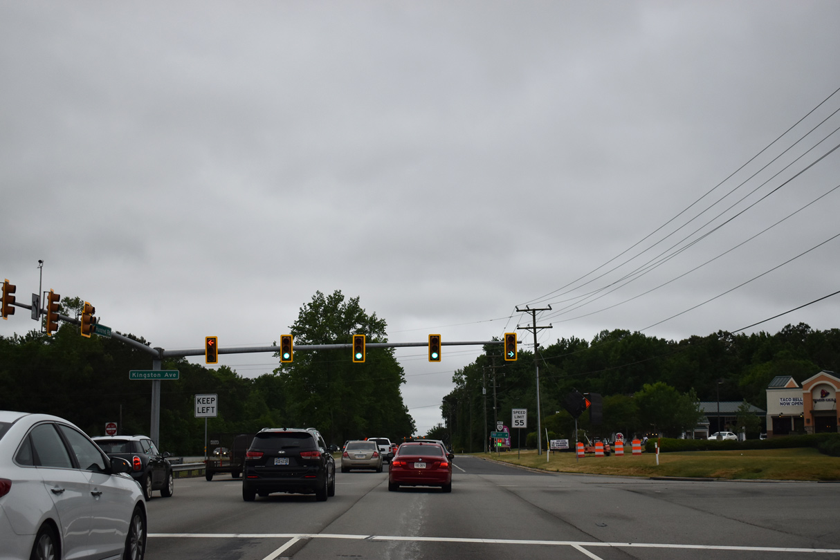
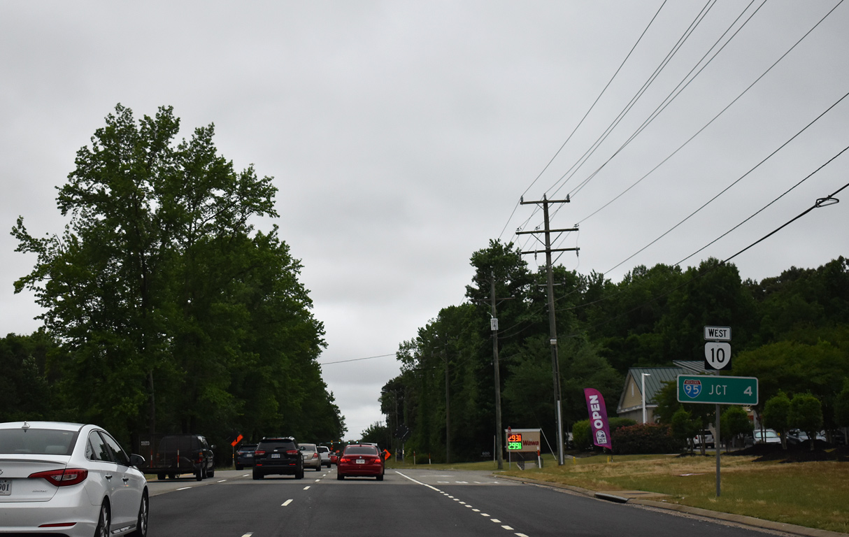
State Route 10

Virginia Route 10 travels 91.32 miles southeast from U.S. 360 (Hull Street) in Richmond to U.S. 460 Business/SR 32 in the city of Suffolk. Signed with east and west cardinal direction banners, SR 10 initially heads south along Broad Rock Road / Boulevard in the capital city. Broad Rock Boulevard becomes Iron Bridge Road at Patsy Ann Drive in south Richmond.
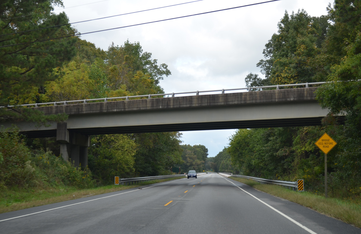
Crossing Falling Creek, SR 10 (Iron Bridge Road) enters Chesterfield County south ahead of SR 150 (Chippenham Parkway). The state route continues southwest to Chesterfield County Airport (FCI), SR 288 (World War II Veterans Memorial Highway) and Chesterfield Court House. The arterial finally curves east en route to Chester and I-95 by Dutch Gap.
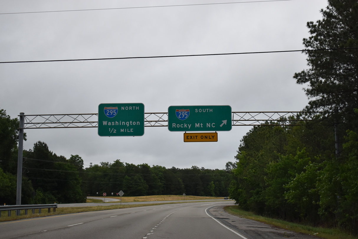
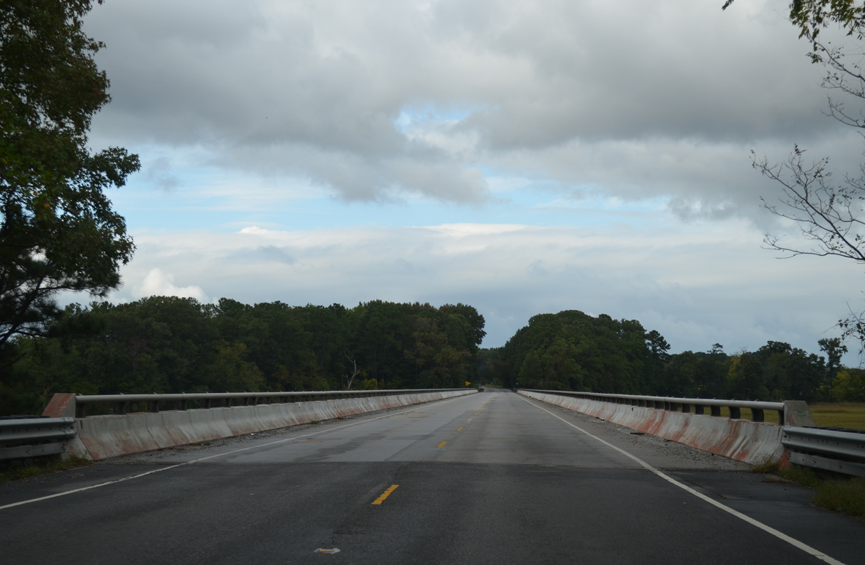
Paralleling the James River Valley, SR 10 progresses east to I-295 and across the Appomattox River into the independent city of Hopewell. SR 156 combines with SR 10 (Randolph Road) from Hopewell 2.44 miles east to SR 106 (Ruffin Road). SR 106 joins SR 10/156 (James River Drive) for 0.73 miles to Jordan Point Road, which takes SR 106/156 north to the Benjamin Harrison Memorial Bridge spanning the James River.
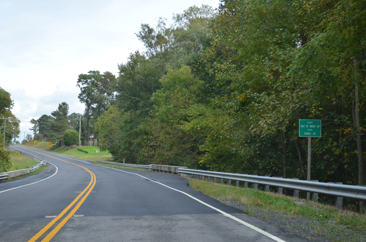
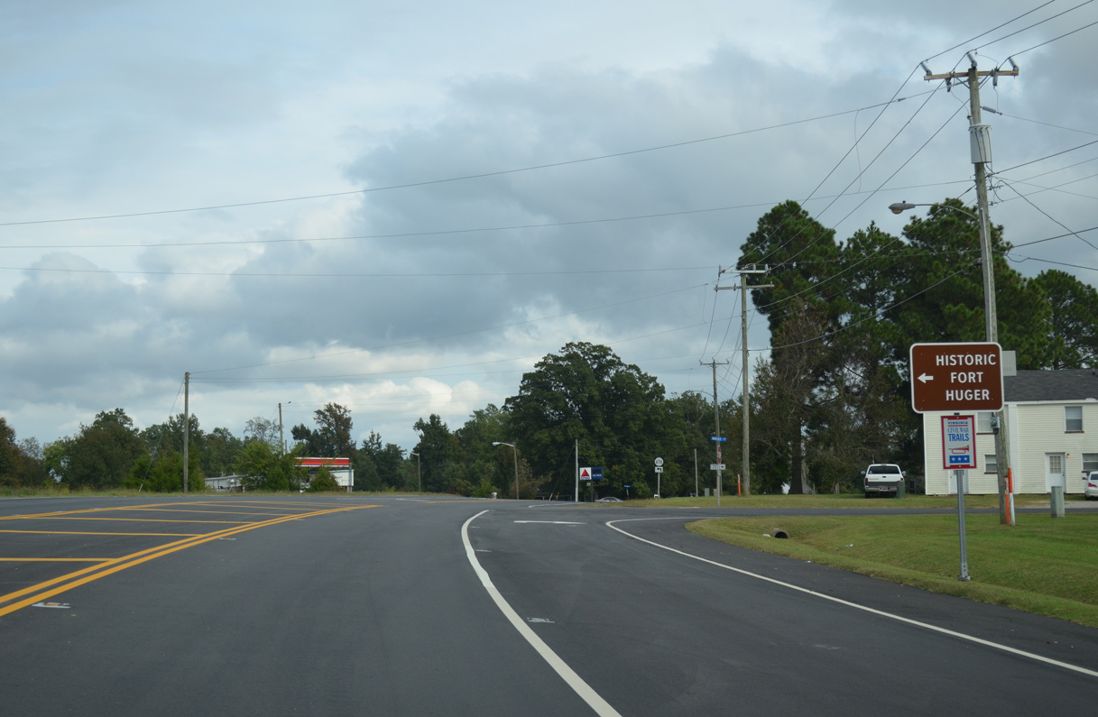
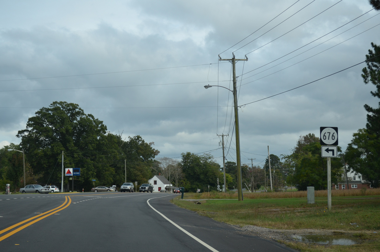
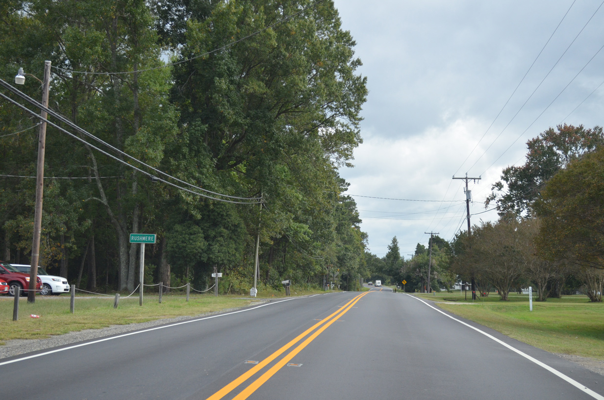
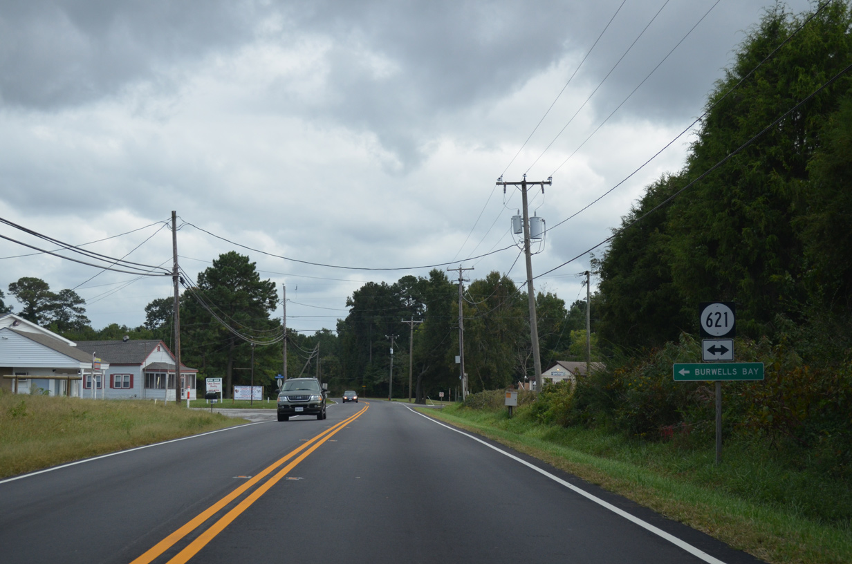
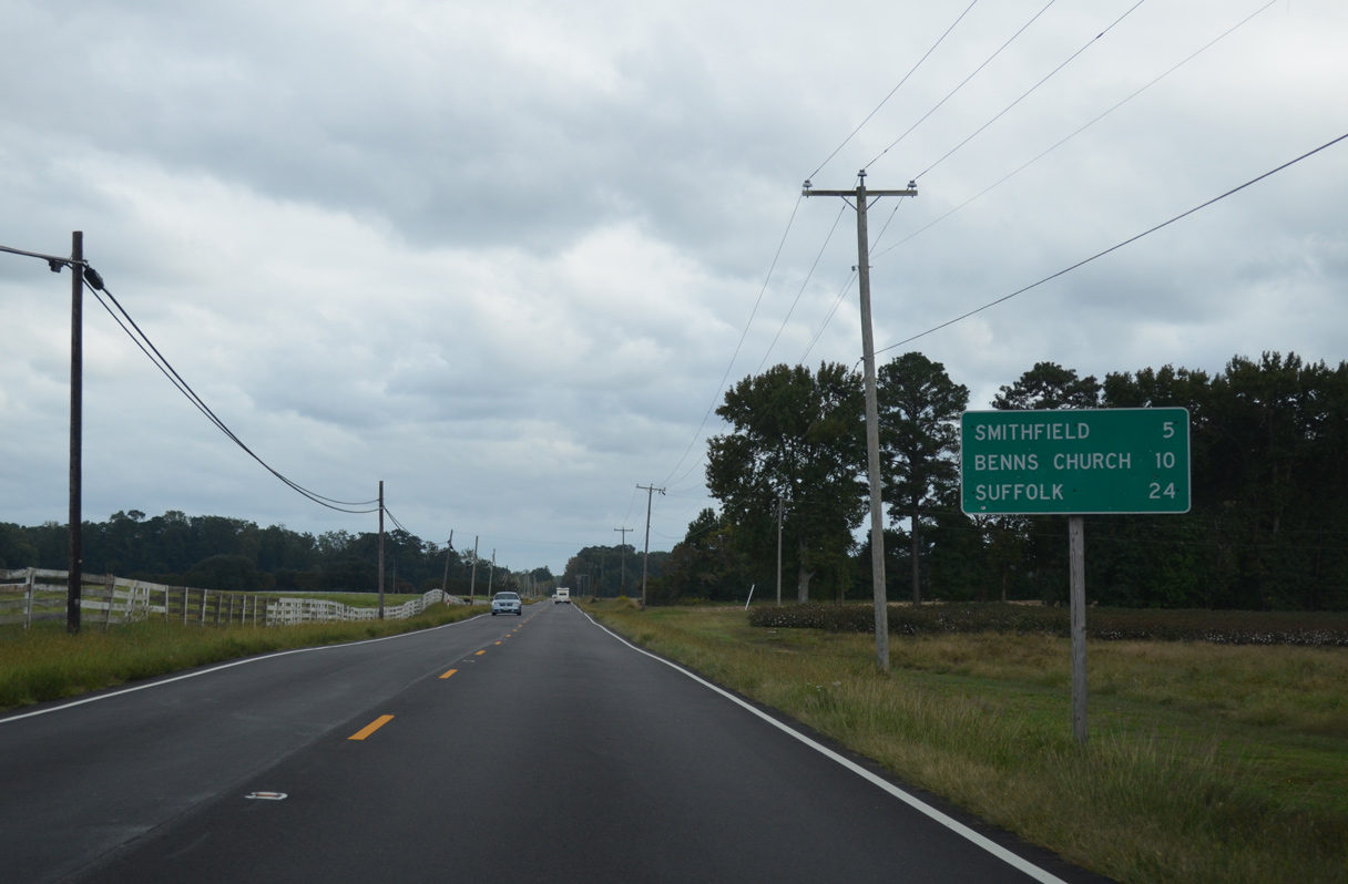
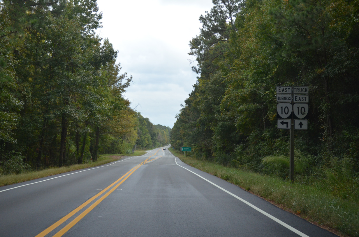
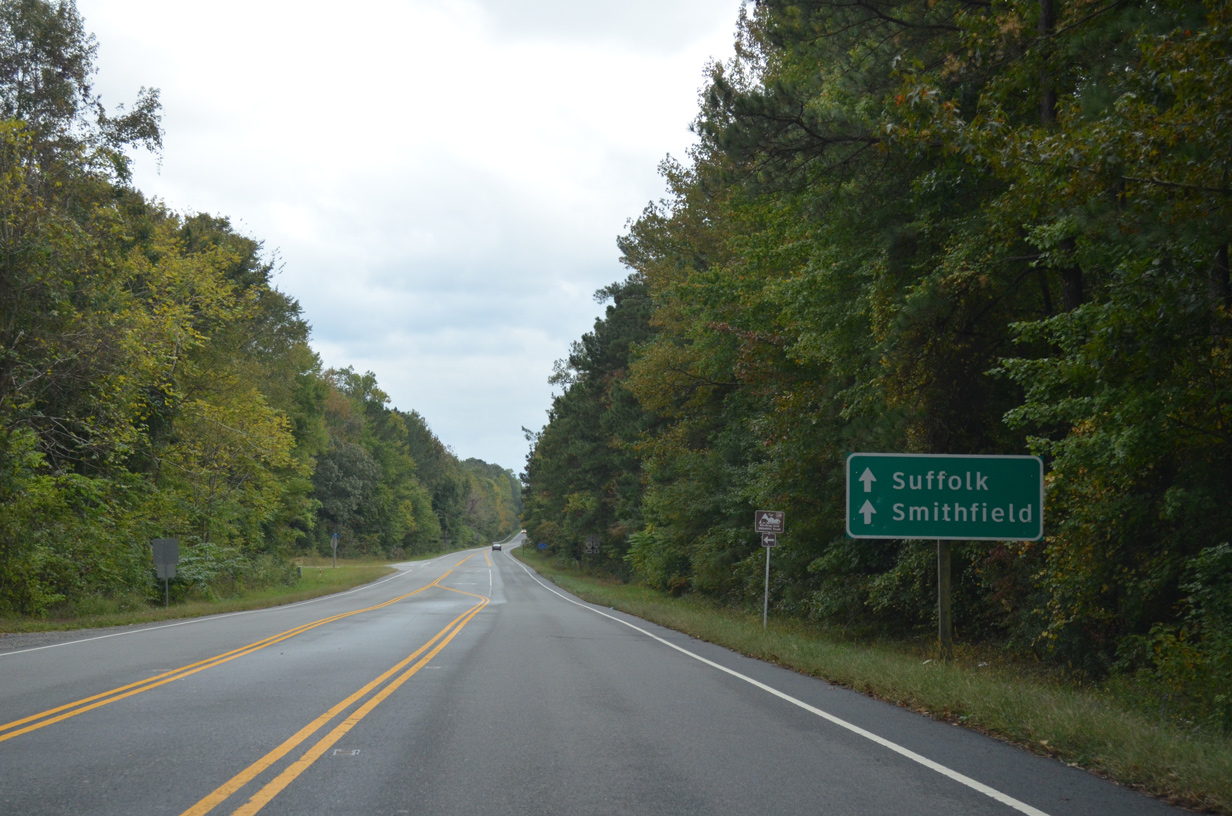
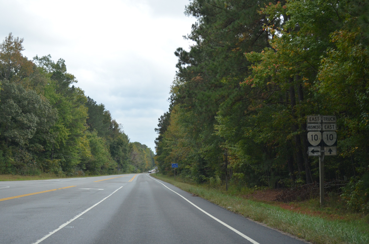
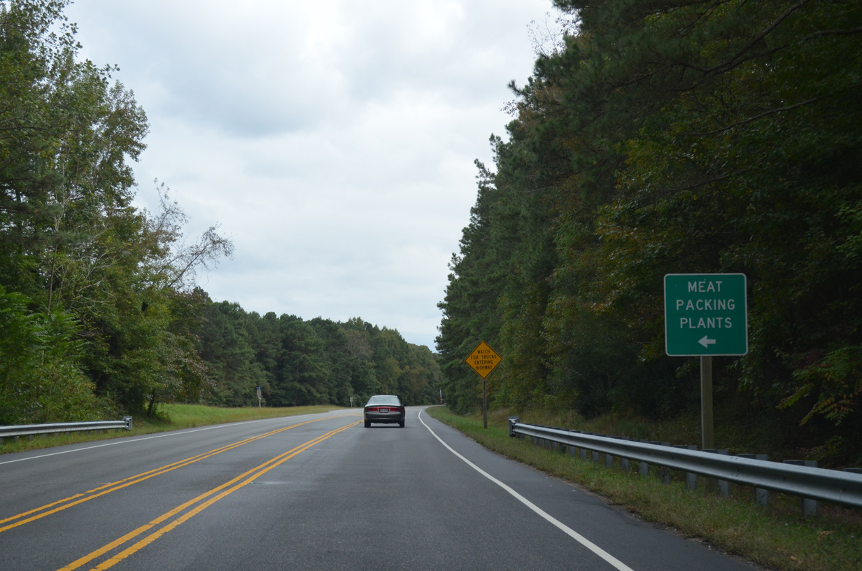
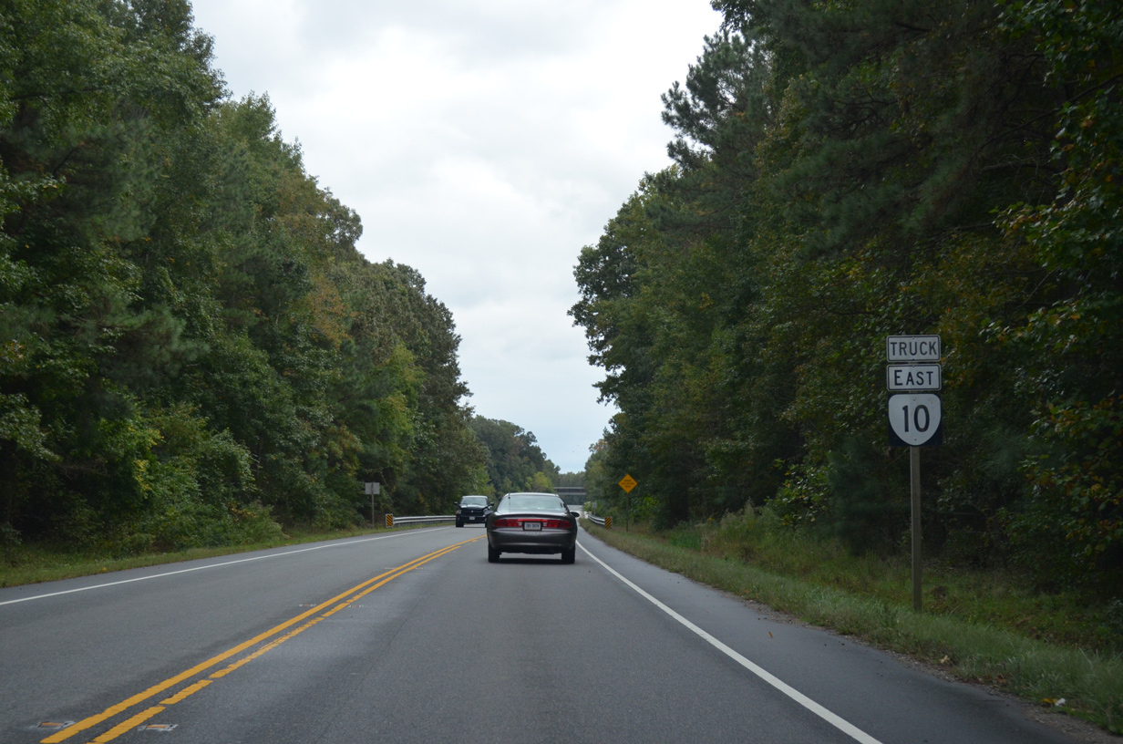
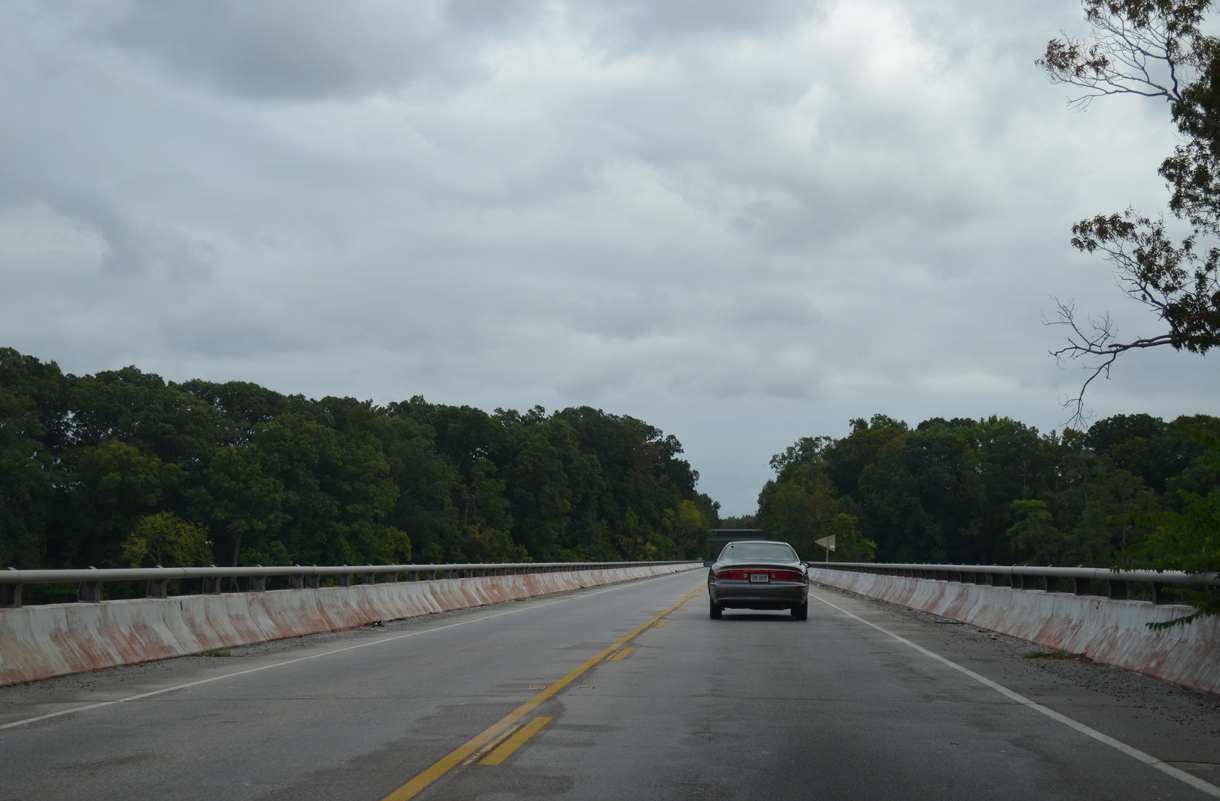
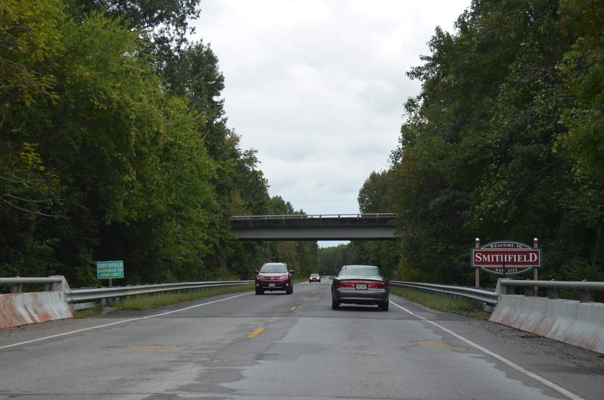
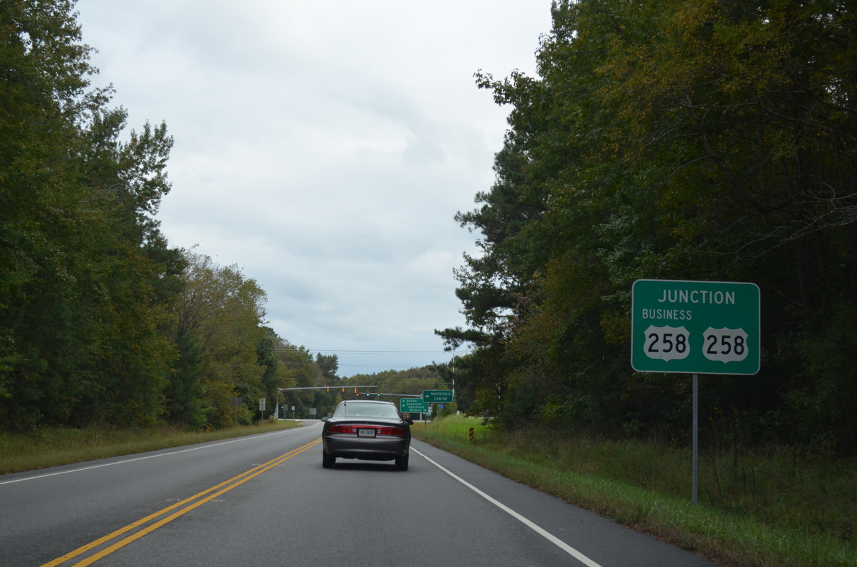
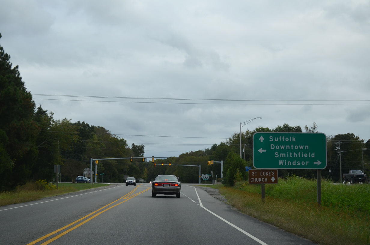
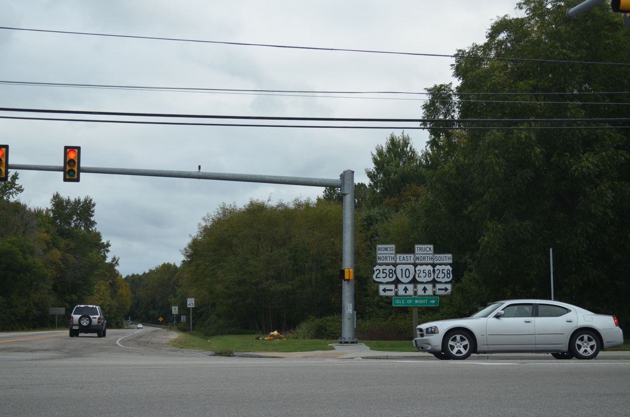
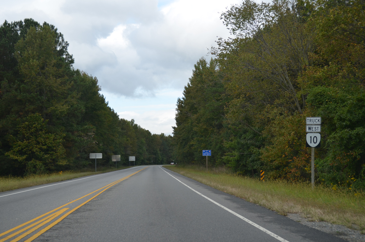
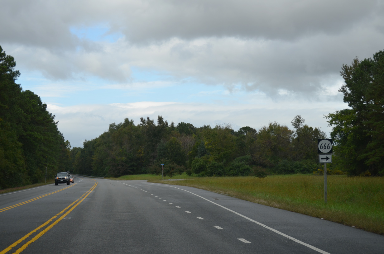
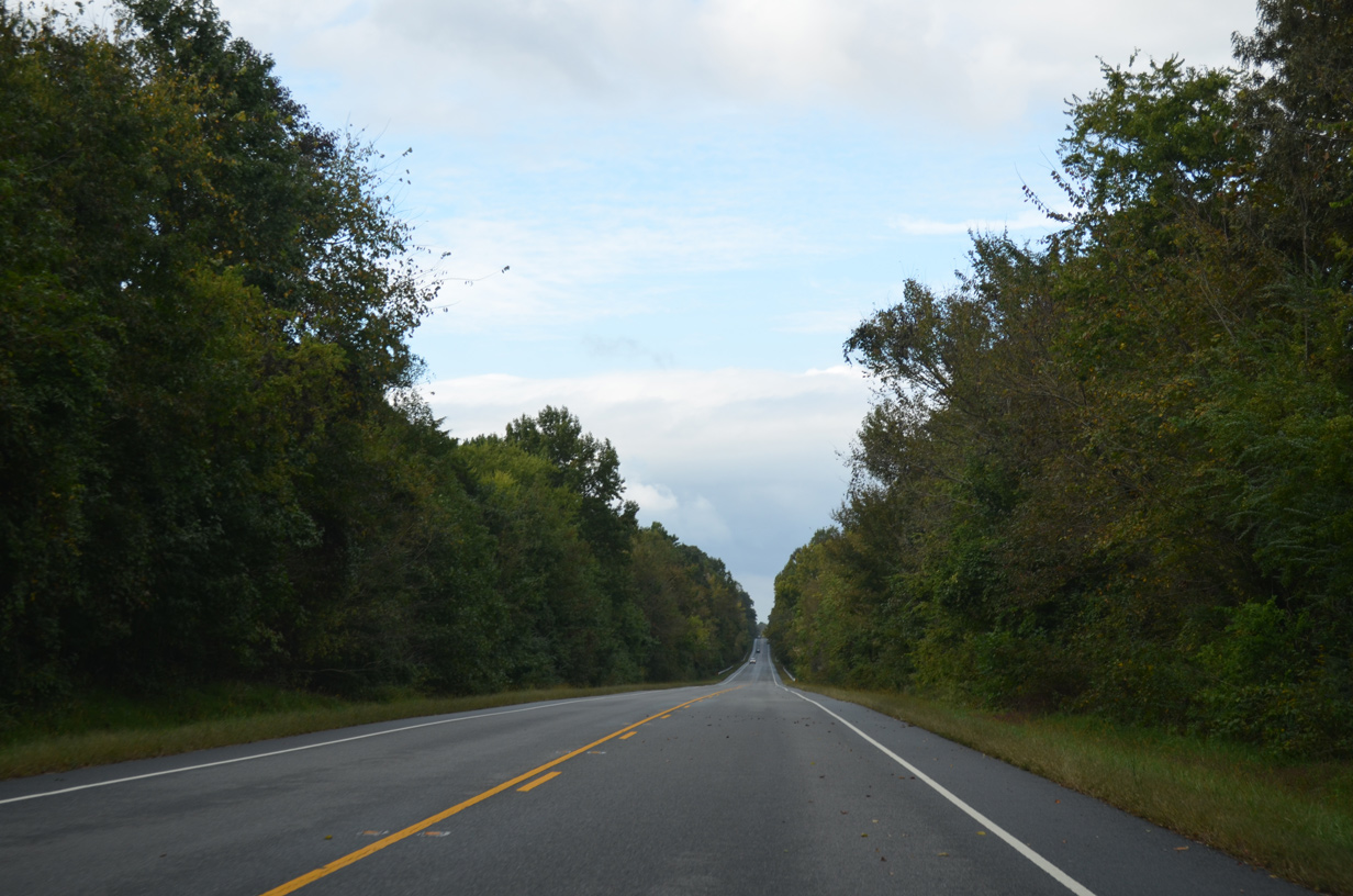
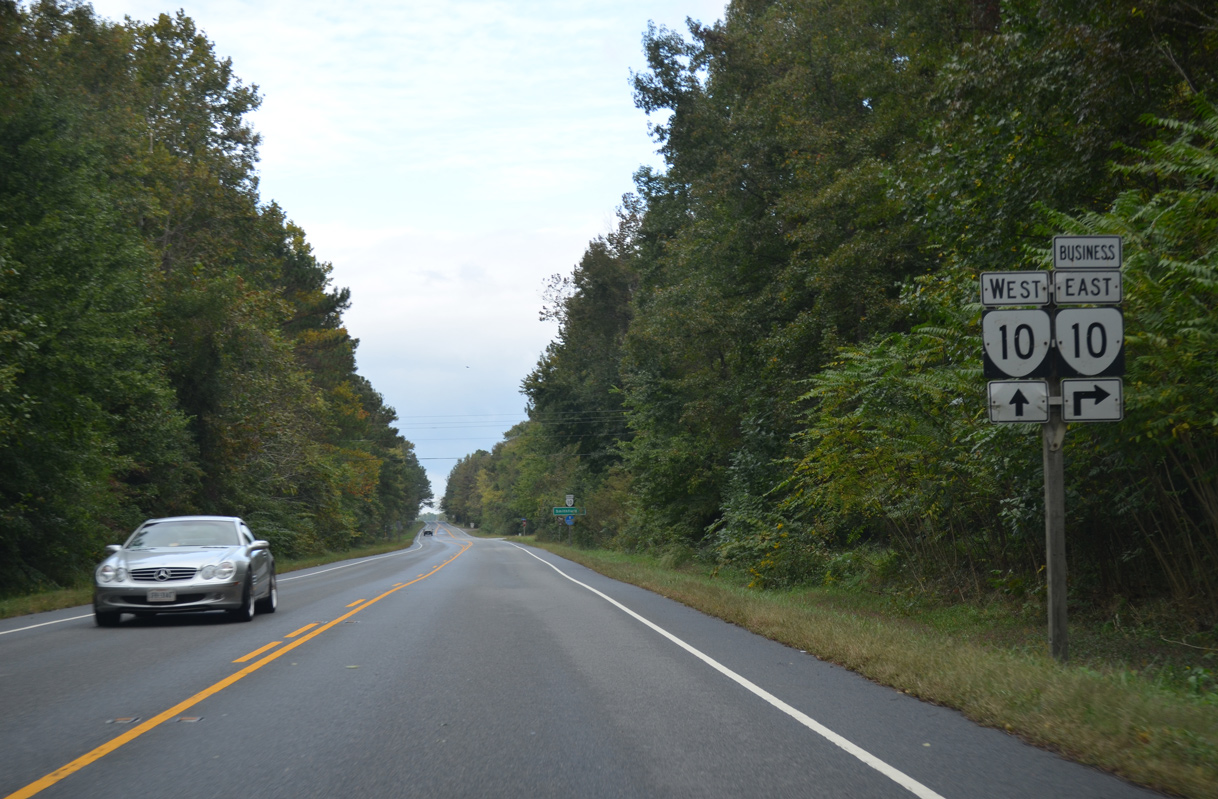
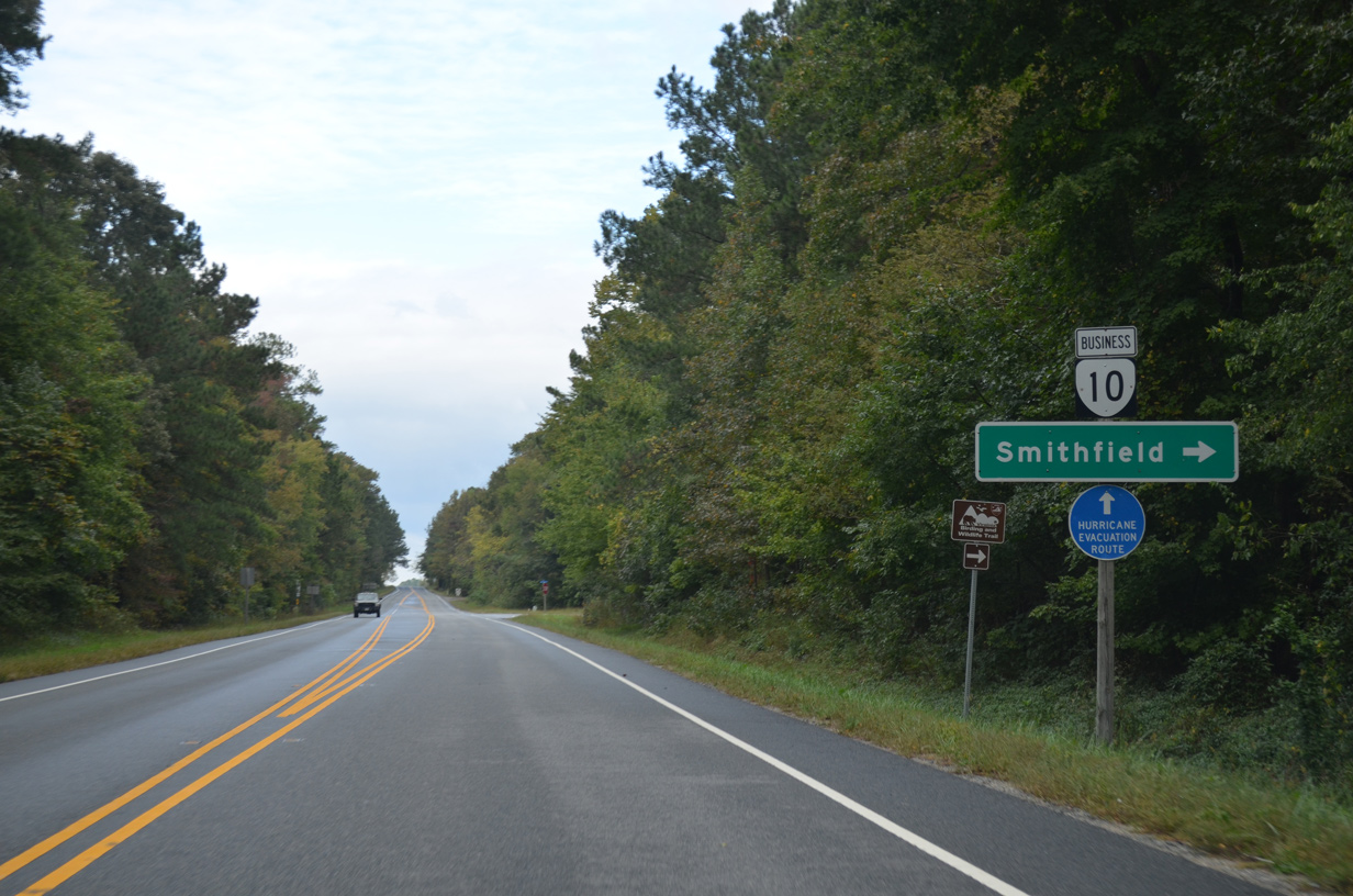
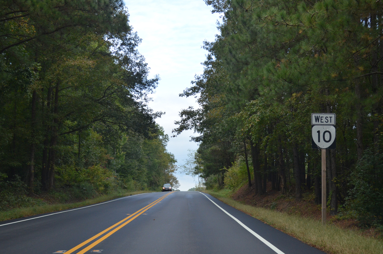
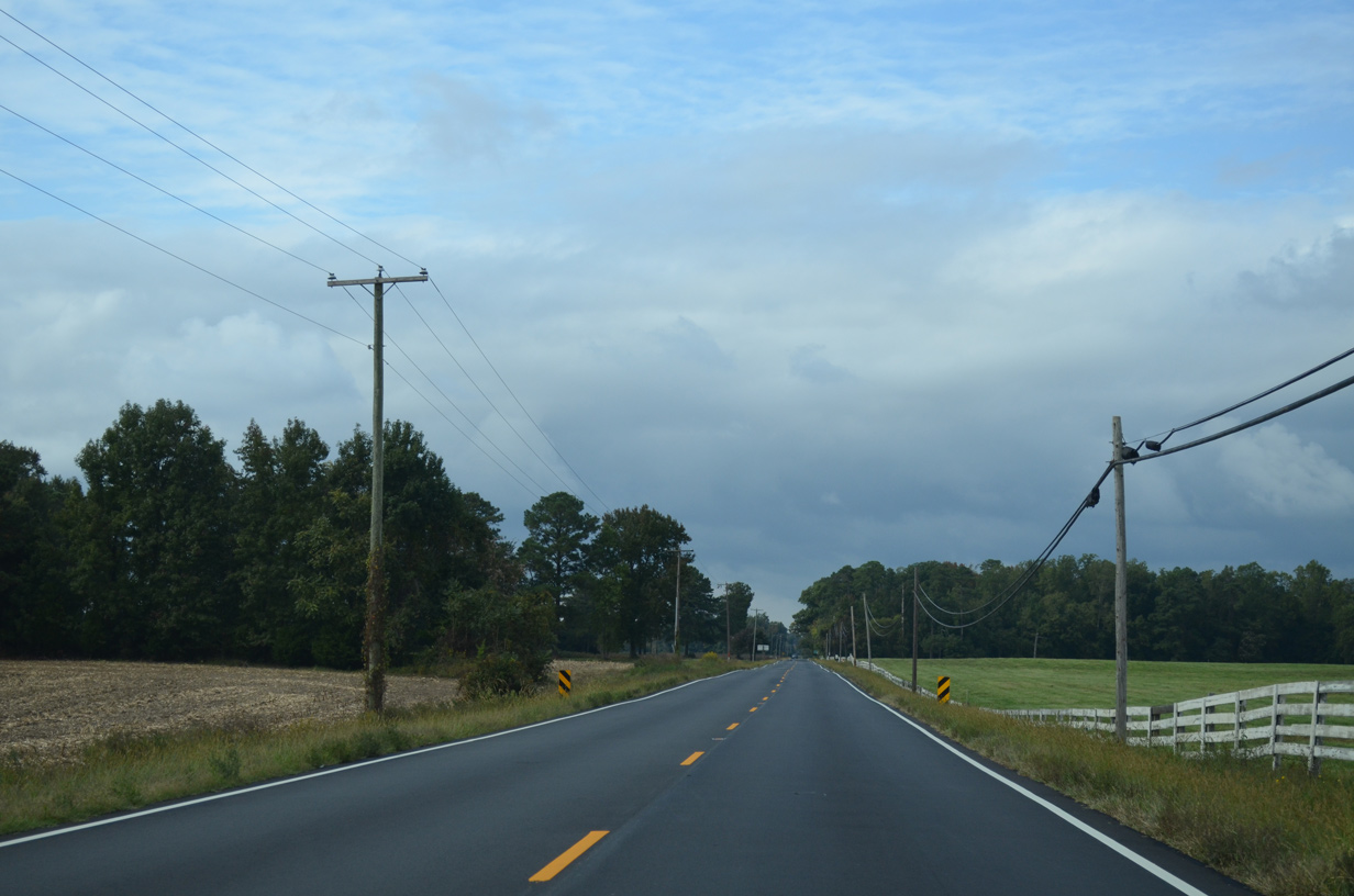
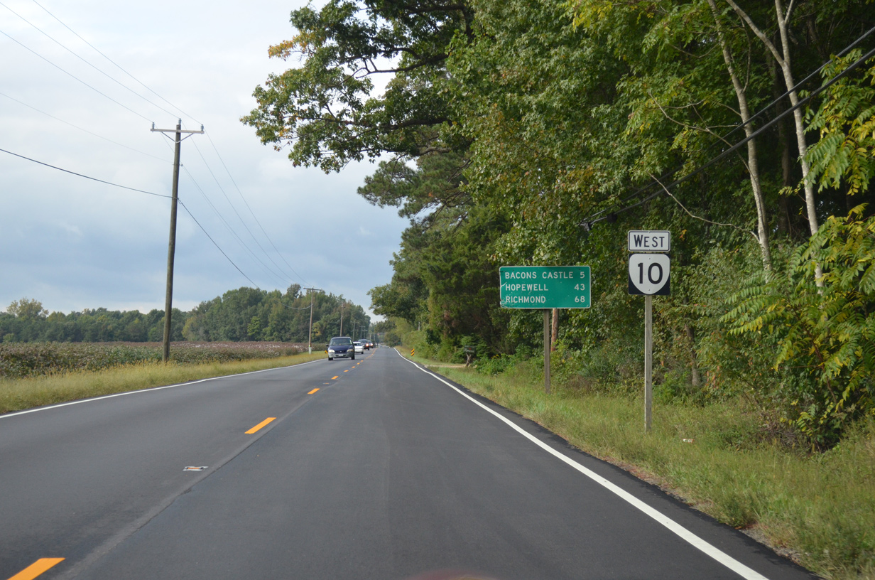
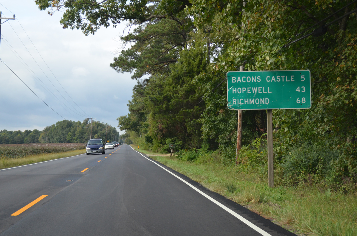
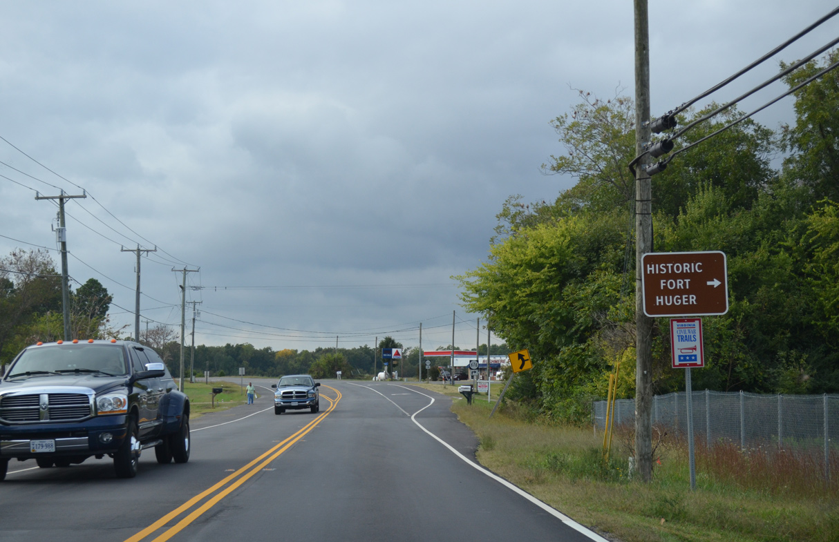
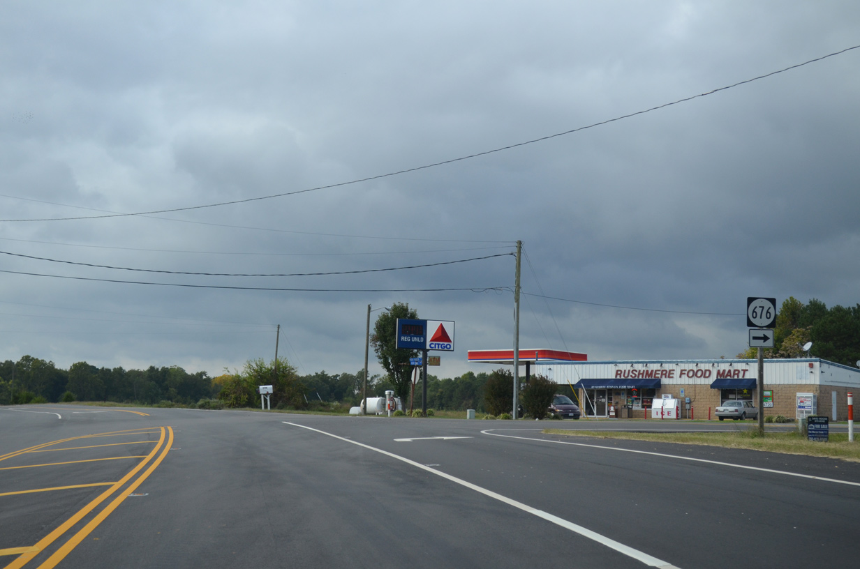
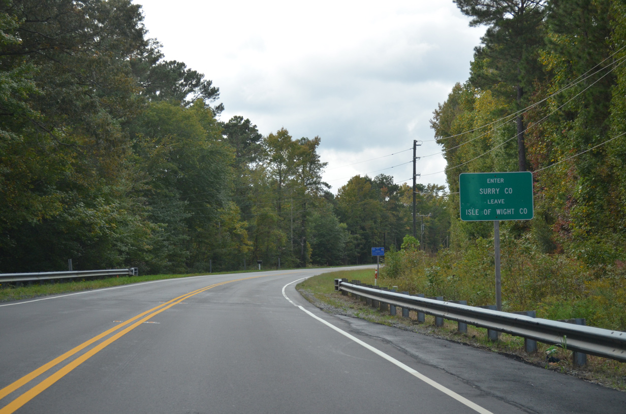
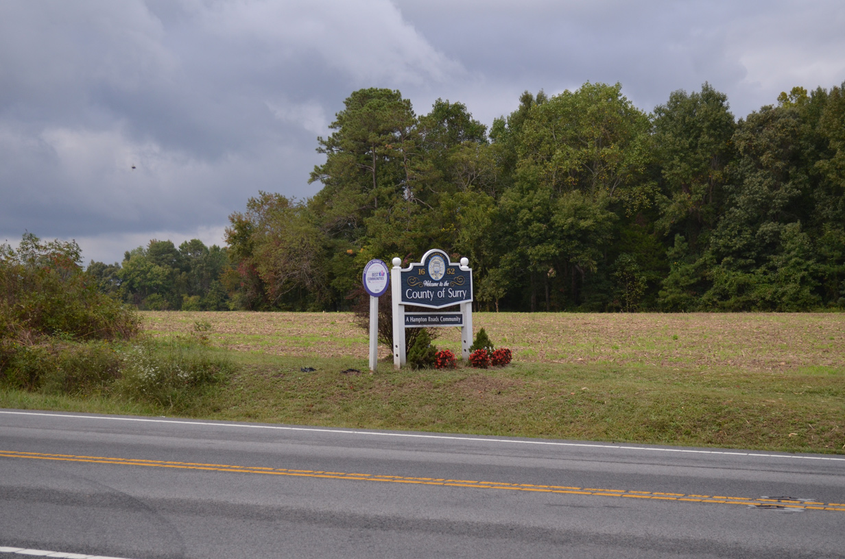
SR 10 (James River Drive) continues along a rural course southeast through Prince George County to Surry in Surry County and Isle of Wight County. SR 10 separates with a business route to Smithfield along a two lane expressway bypass. SR 10 Business loops 6.63 miles east to the Smithfield town center while SR 10 combines with U.S. 258 southeast to SR 32 at Benns Church. SR 10/32 overlap 12.50 miles south from U.S. 258 (Brewers Neck Boulevard) to Chuckatuck and Suffolk.
 East
East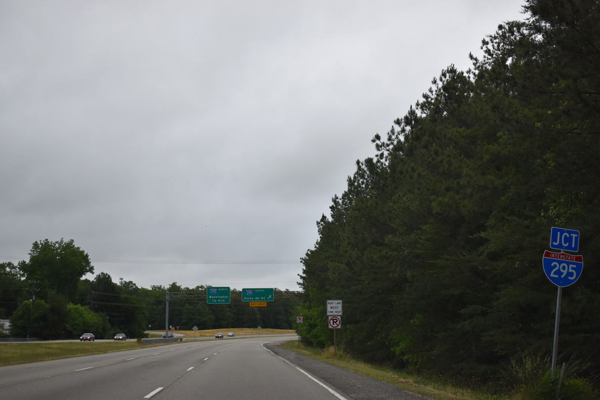
05/29/19
05/29/19
10/12/14
10/12/14
10/12/14
10/12/14
10/12/14
10/12/14
10/12/14
10/12/14
10/12/14
10/12/14
10/12/14
10/12/14
10/12/14
10/12/14
10/12/14
10/12/14
10/12/14
10/12/14
10/12/14
10/12/14
10/12/14
10/12/14
10/12/14
10/12/14
10/12/14
10/12/14
10/12/14
10/12/14
10/12/14
10/12/14
10/12/14
10/12/14
10/12/14
10/12/14
05/29/19
05/29/19
Photo Credits:
- Brent Ivy: 05/29/19
- Alex Nitzman: 10/12/14
Connect with:
Page Updated Thursday August 12, 2021.