
State Route 36

A 16.70 mile long highway, Virginia Route 36 originates west of Matoca in southern Chesterfield County. Paralleling the Appomattox River, SR 36 runs east from the intersection of SR 602 (River Road) and SR 669 (Church Road) to the community of Ettrick and the campus of Virginia State University. Turning southeast along Chesterfield Avenue, SR 36 continues 0.81 miles to the Petersburg city line across the Appomattox River.
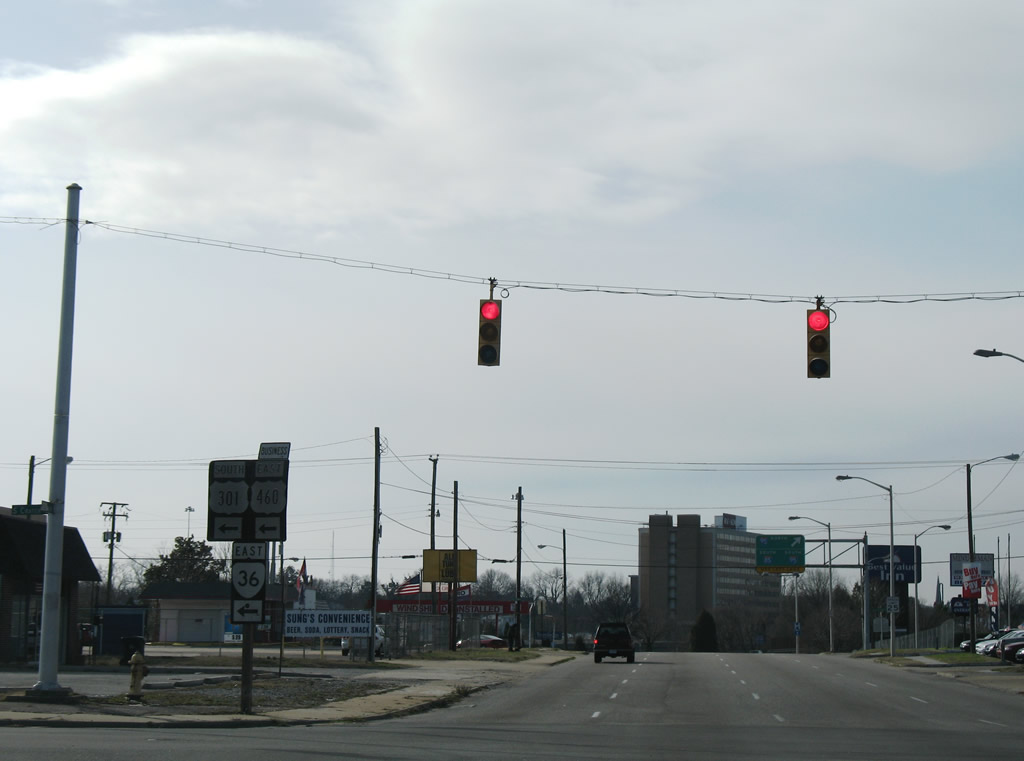
SR 36 lines Grove Avenue east from University Boulevard to Old Street north of Downtown Petersburg. The state route dog legs south along Sycamore Street to a one way couplet along Bank Street east and Bollingbrok Street west. U.S. 301 accompanies SR 36 along the couplet to N Crater Road, which leads both routes south to U.S. 460 Business along Wythe Street east and Washington Street west. U.S. 301 joins U.S. 460 Business on S Crater Road while SR 36 turns east to leave Petersburg on Washington Street.
Entering Prince George County, SR 36 (Oaklawn Boulevard) crosses Fort Lee east toward SR 144 (Temple Avenue) and Interstate 295 at the independent city of Hopewell. Within Hopewell, SR 36 partitions into Oaklawn Boulevard east and Woodlawn Street west to Kenwood Avenue. SR 36 continues along Winston Churchhill Drive to a 0.25 mile long overlap with SR 156 between High Avenue and Arlington Road. SR 156 bypasses Downtown Hopewell to the south along Winston Churchill Drive to SR 10 (Randolph Road). SR 36 navigates along a combination of S 15th Avenue, Washington Circle, N 15th Avenue, W Broadway Street and N 6th Avenue to conclude at SR 10 (Randolph Road).
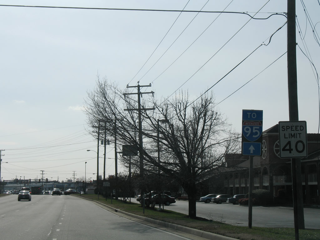
I-95 trailblazer posted along SR 36 (Oaklawn Boulevard) west after the cloverleaf interchange with I-295. SR 36 to SR 144 (Temple Avenue) provides a direct link to Interstate 95.
01/02/08
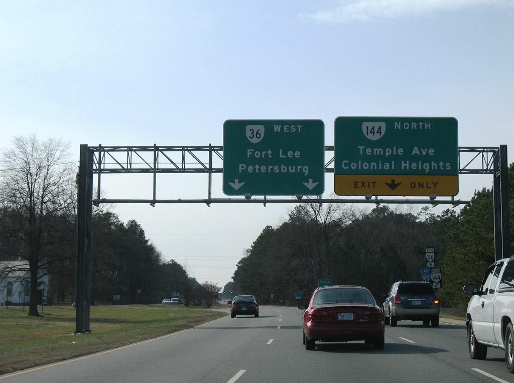
SR 36 (Oaklawn Boulevard) advances through a commercialized stretch to split with SR 144 (Temple Avenue). SR 144 constitutes a 13.97 mile long route between Fort Lee and SR 145 at Centralia.
01/02/08
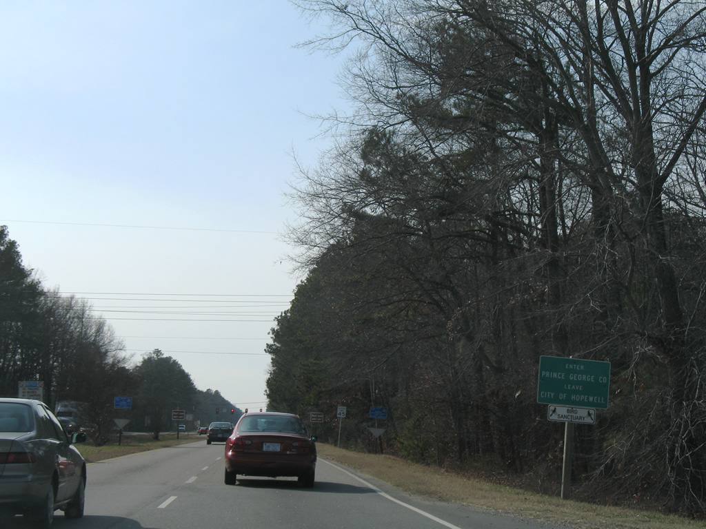
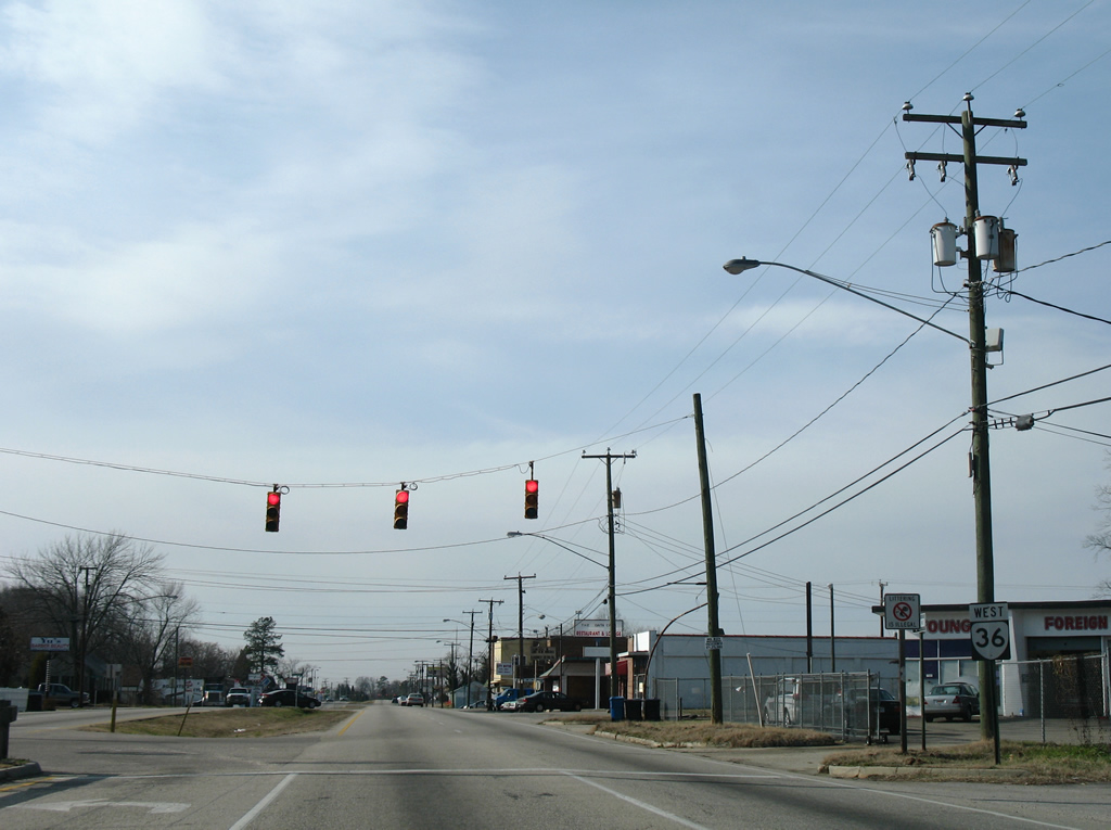
SR 36 (Oaklawn Boulevard) enters Prince Georges County from the independent city of Hopewell at Fort Lee.
01/02/08
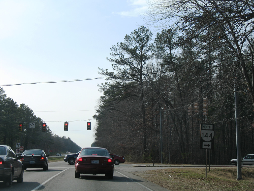
SR 144 (Temple Avenue) begins north across from Sisisky Boulevard into Fort Lee.
01/02/08
A flyover (11th Street) was constructed over SR 36 (Oaklawn Boulevard) during expansion of Fort Lee in 2008/09.
01/02/08
Lee Avenue provides the final access point into Fort Lee from SR 36 (Oaklawn Boulevard) west. Hill Circle ties into the signalized intersection from the Jackson Circle housing area in Fort Lee.
01/02/08
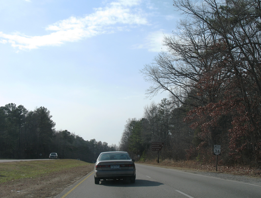
SR 36 advances west from Fort Lee across Petersburg National Battlefield.
01/02/08

A trumpet interchange joins SR 36 with Siege Road into Petersburg National Battlefield.
01/02/08

The Petersburg National Battlefield Visitor Center lies north of the exchange with SR 36 (Oaklawn Boulevard) on Siege Road. Siege Road south leads to Old Blandford Church and The Crater.
01/02/08
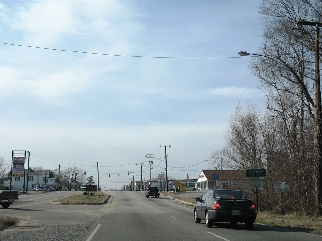
Entering the city limits of Petersburg, SR 36 west becomes Washington Street.
01/02/08
Traffic lights on SR 36 (Washington Street) at Lakemont Drive in Petersburg were removed by 2013.
01/02/08
Puddledock Road angles southwest from SR 144 (Temple Avenue) to meet SR 36 (Washington Street) at an industrial park area north of Courthouse Road.
01/02/08
Slagle Avenue stems southeast from SR 36 into a small residential street grid from the succeeding signal along westbound.
01/02/08
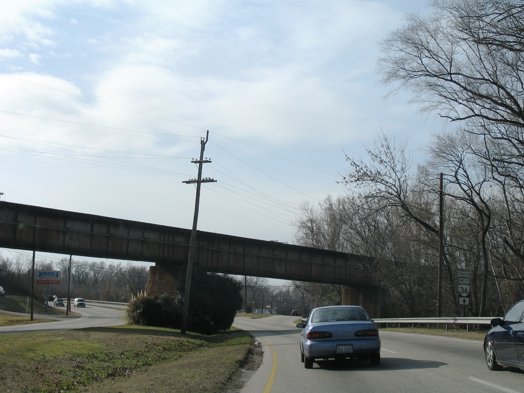
Advancing to the separation with Bank Street, SR 36 (Washington Street) shifts southwest toward Interstate 95 at Exit 52.
01/02/08
Bank Street carries two way traffic west 0.46 miles from SR 36 (Washington Street) to become part of the couplet for U.S. 301/SR 36 at N Crater Road.
01/02/08
SR 36 west joins U.S. 301 (Crater Road) north for four blocks between Washington and Bollingbrook Streets.
01/02/08
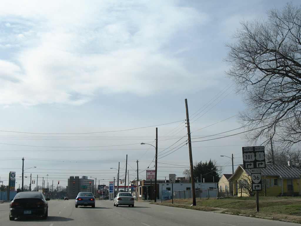
U.S. 460 Business turns onto Washington Street from U.S. 301 (Crater Road) leading into the exchange with Interstate 95 and Downtown Petersburg.
01/02/08
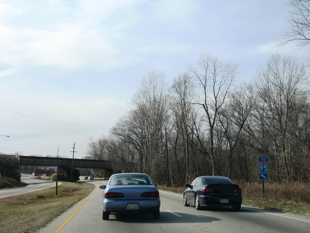
U.S. 301/460 originally combined along Crater Road from Winfield Road north to Washington Street. U.S. 460 was realigned onto I-95 north from Exit 50 and I-85 south to Exit 61.
01/02/08
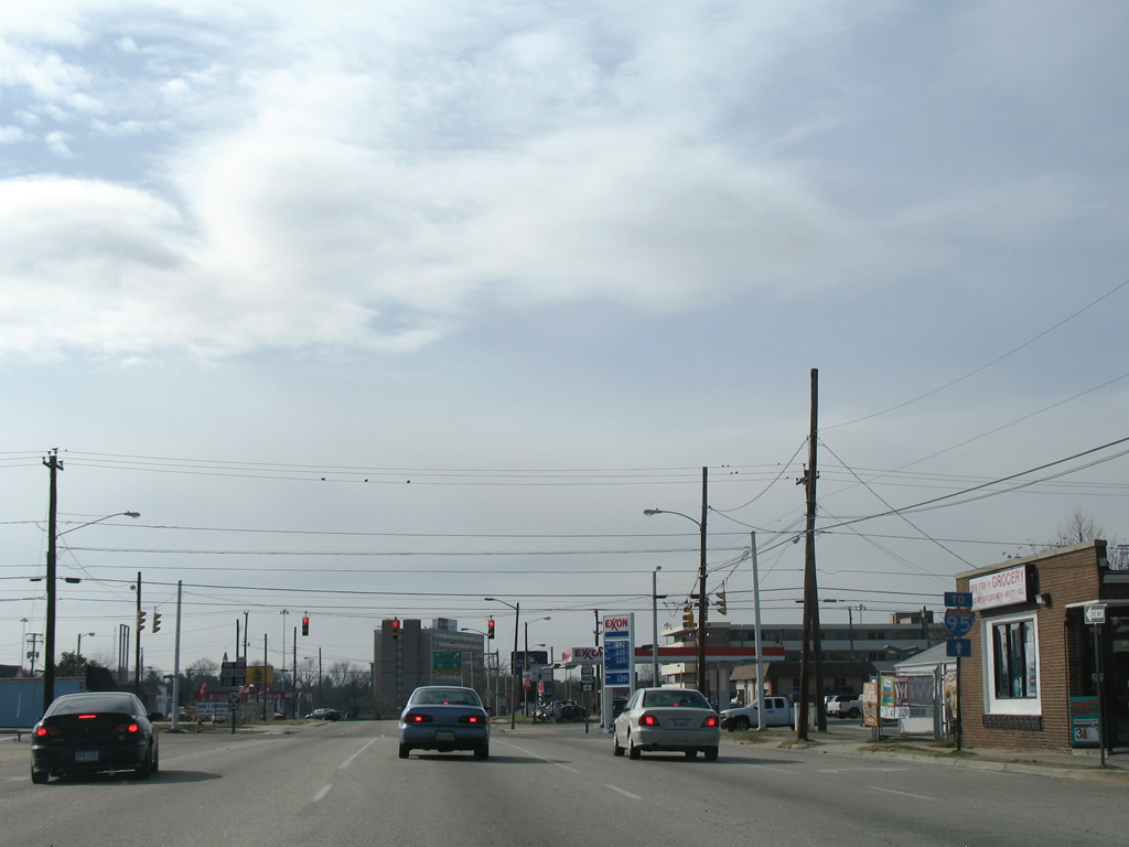
Washington Street west forms a couplet with Wythe Street east between Atlantic Street and Amelia Street across Petersburg. U.S. 460 Business overlaps with U.S. 301 (Crater Road) south to I-95.
01/02/08
Photo Credits:
- Alex Nitzman: 01/02/08
Connect with:


Page Updated Saturday May 08, 2021.