
State Route 47
Measuring 61.09 miles in length, Virginia State Route 47 begins within the town of South Hill in south central Virginia. Originating along W Atlantic Avenue from U.S. 1/58 Business in Downtown, SR 47 proceeds on a winding course northwest through rural Meklenburg County to the town of Chase City. SR 47 initially lines 2nd Street to an intersection with SR 49/92 (S Main Street) near Downtown while SR 92 enters Chase City from the south along Main Street. SR 92 turns west to follow 2nd Street as SR 47/49 turn north along Main Street for a 1.26 mile overlap.
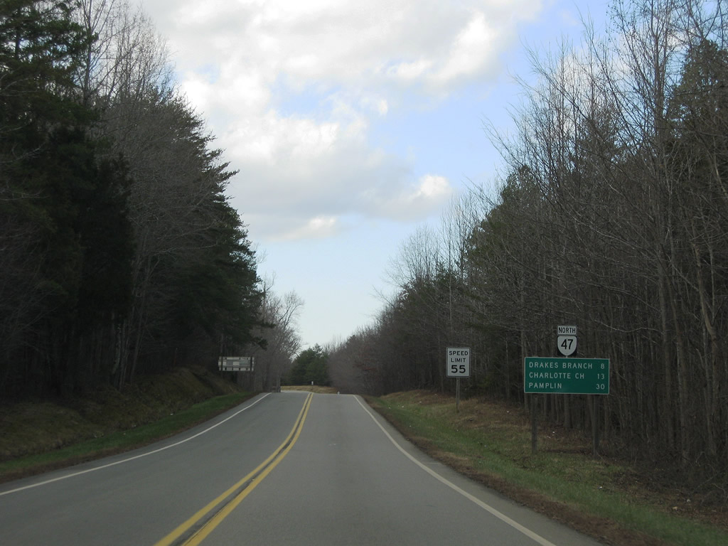
SR 47/49 routes split at Fairview, with SR 49 branching northeast to Lunenburg. SR 47 overlays Highway Forty Seven into Charlotte County, meeting U.S. 15/360 (Kings Highway). Craftons Gate Highway advances SR 47 northwest along a rural route 7.72 miles to the town of Drakes Branch. SR 59 commences a 7.90 mile long run from SR 47 in northern reaches of Drakes Branch to Keysville.
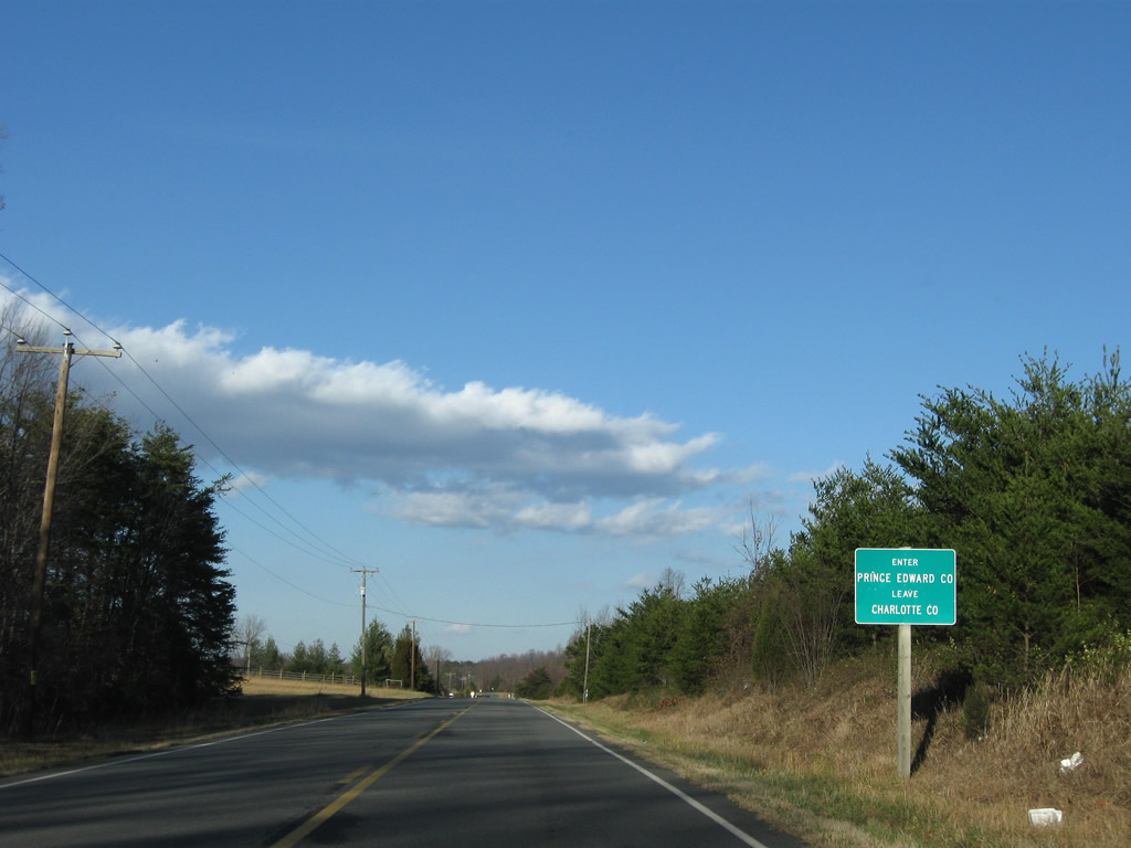
Continuing north from Drakes Branch, SR 47 spans Roanoke Creek midway to the town of Charlotte Court House, seat of Charlotte County. SR 47 (Legrande Avenue) joins SR 40 (George Washington Highway) on a 0.10 mile long overlap before leaving the county seat along Thomas Jefferson Highway for Cullen. North of the community of Madisonville, SR 47 straddles the Charlotte/Prince Edward County line for 3.96 miles before crossing into neighboring Appomattox County, 1.07 miles ahead the north end at U.S. 460 Business in Pamplin City.
SR 47 (Craftons Gate Highway) extends 30 miles north from U.S. 15/360 (Kings Highway) to Pamplin.
12/21/08
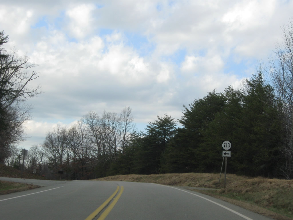
SR 713 (Deuprees Store Road) leads west from SR 47 to SR 606, parallel to U.S. 15/360.
12/21/08
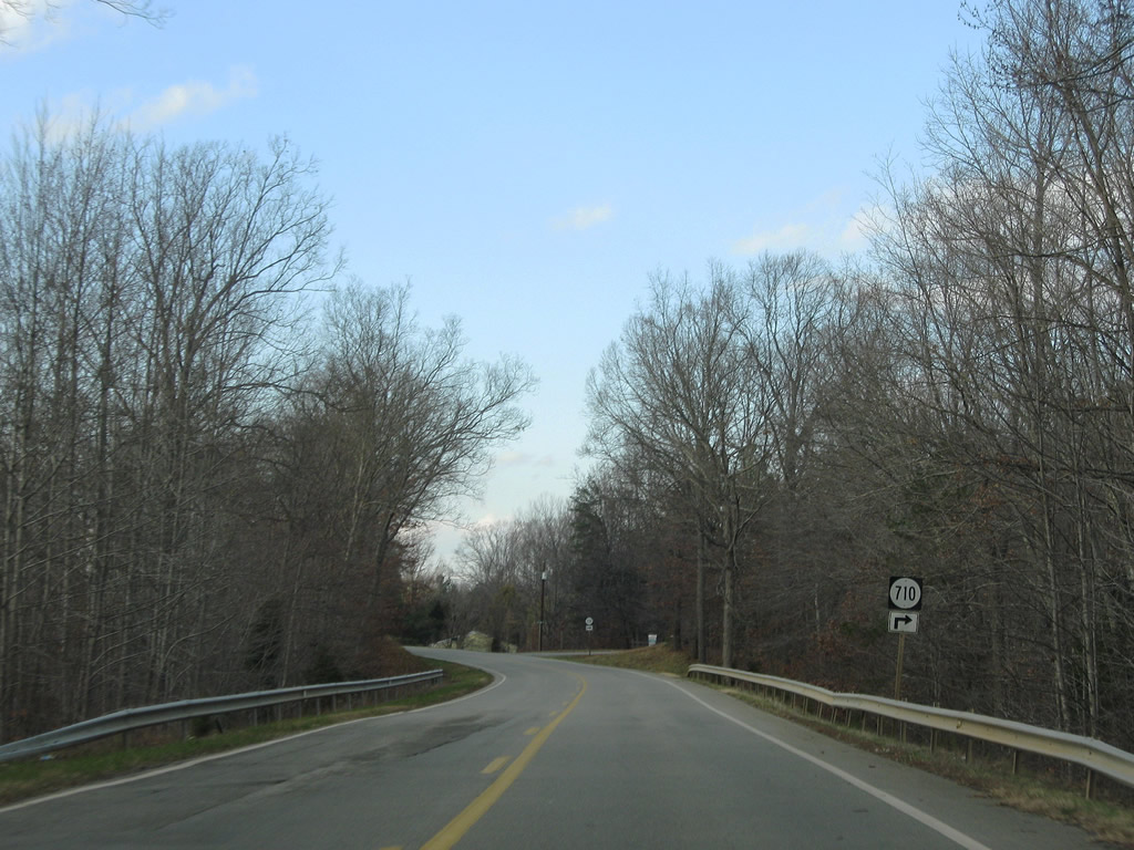
SR 710 meanders east along Oak Hill Road from SR 47 (Craftons Gate Highway) to U.S. 15/360 south of Wallaces Store.
12/21/08
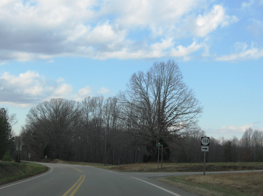
Northbound SR 47 at SR 788 (Cary's Shop Road), a short residential spur.
12/21/08
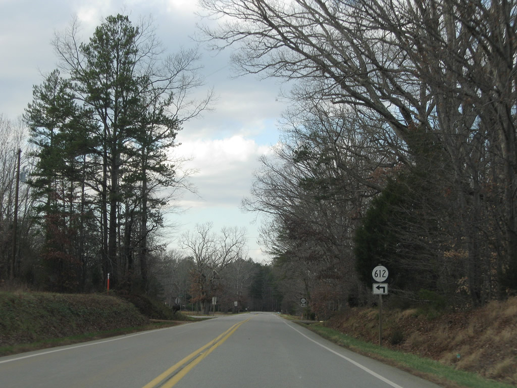
SR 612 (Sunny Side Road) ventures west from SR 47 to Saxe.
12/21/08
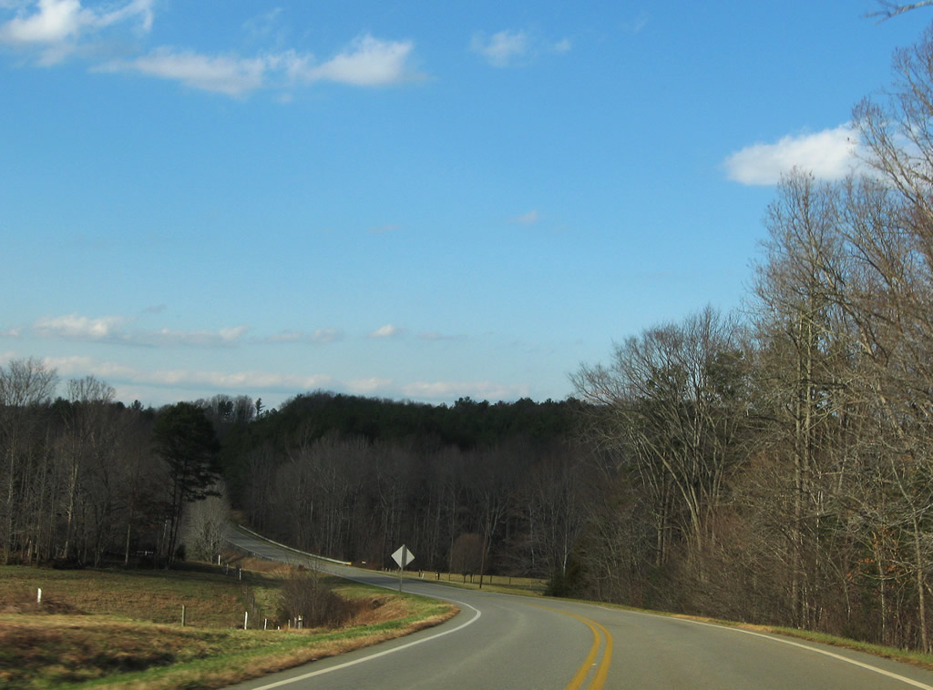
Curving toward the crossing over Horsepen Creek along SR 47 (Craftons Gate Highway) north.
12/21/08
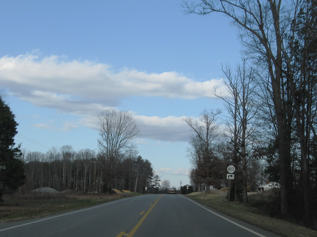
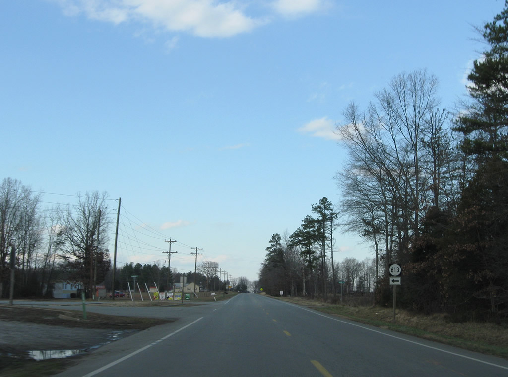
SR 613 follow Algerene Road east to SR 623 west of Wallaces Store.
12/21/08
SR 613 west leaves SR 47 nearby for Country Road and SR 612.
12/21/08
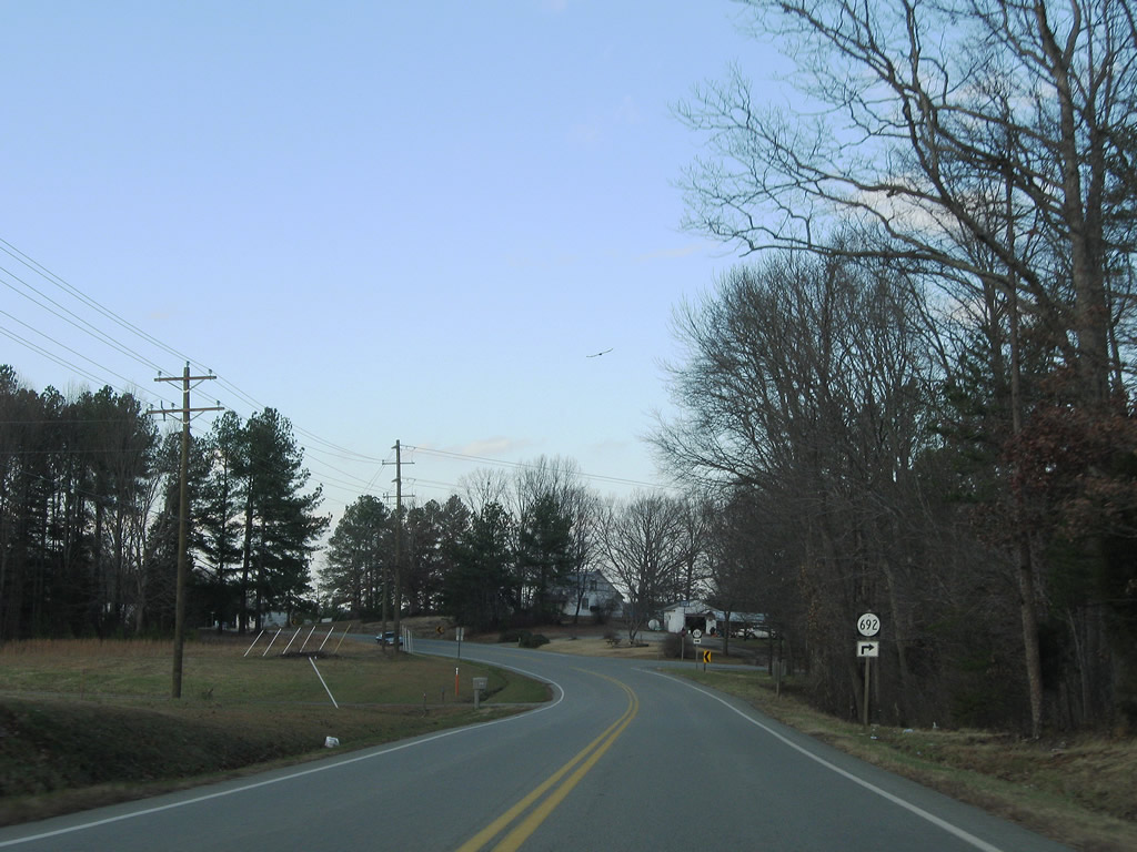
W.P.A. Road (SR 692) provides a connection between SR 47 and SR 623 (Point Stevens Road) southeast of Drakes Branch.
12/21/08
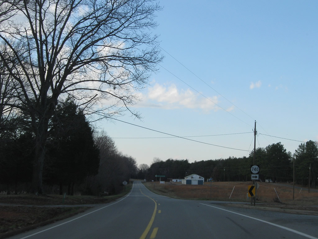
SR 740 constitutes a short loop along Old Forty Seven Road, an older alignment of SR 47.
12/21/08
Entering the town limits of Drakes Branch. The municipal boundaries form a square around the community center.
12/21/08
SR 623 follows Mill Street west from Point Stevens Road to SR 47 (Drakes Main Street).
12/21/08
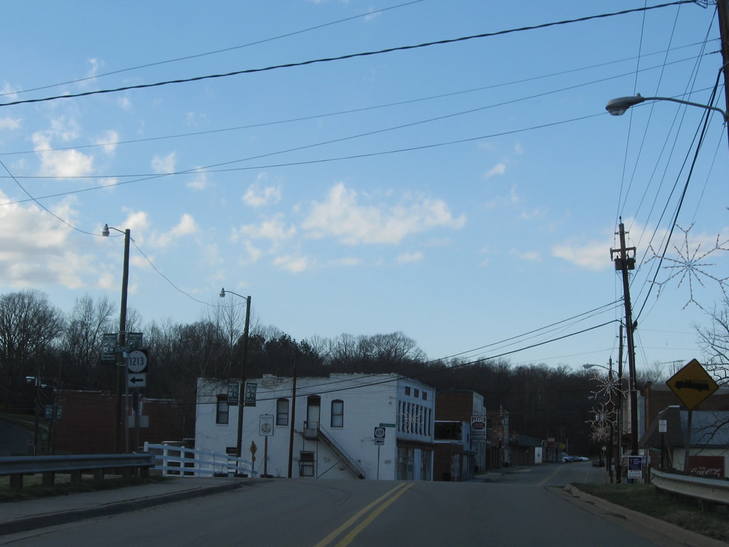
SR 47 (Drakes Main Street) spans Twittys Creek between Mill Street and Depot Street (SR 1213). SR 619 follows on Proctor Street west to Chandlers Forks.
12/21/08
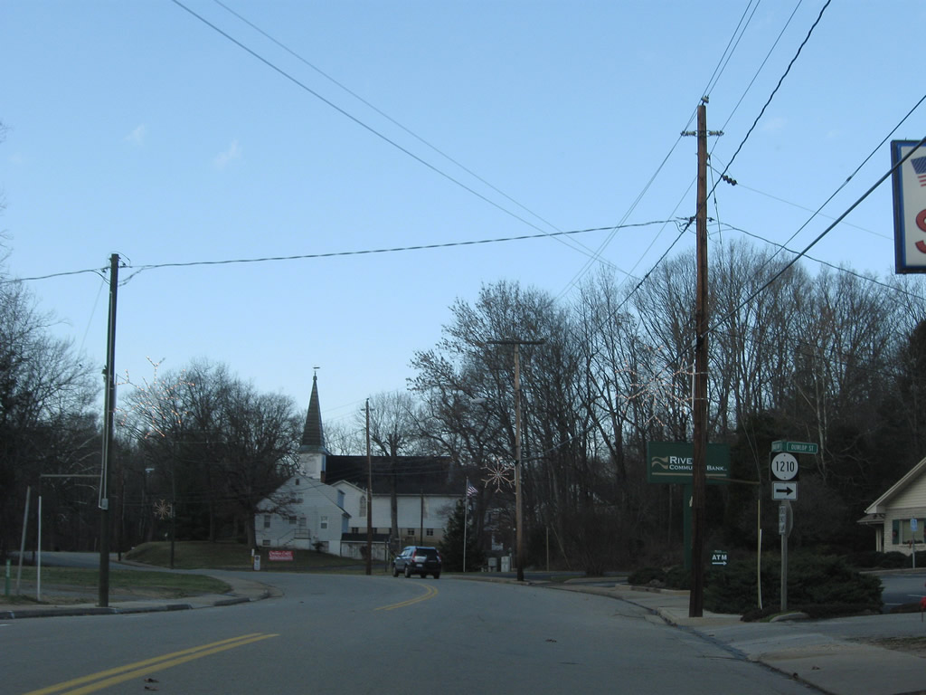
SR 47 north at Dunlop Street (SR 1210) in Drakes Branch.
12/21/08
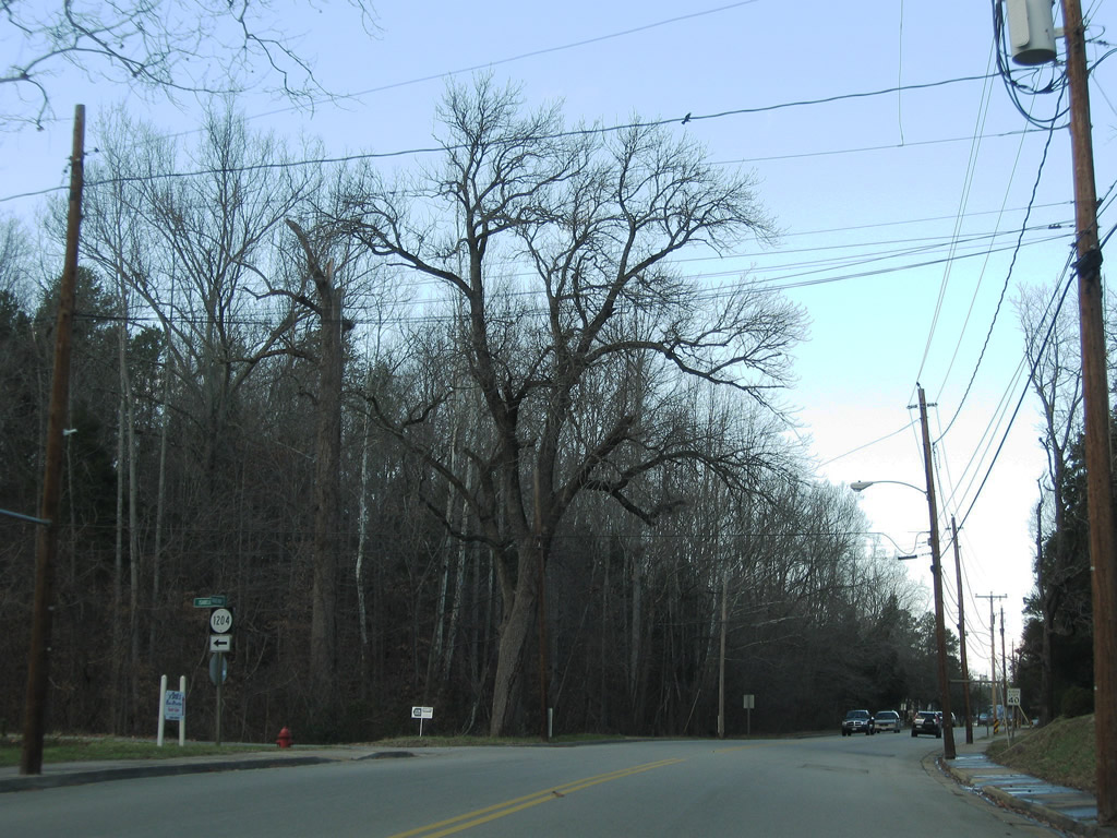
SR 1204 follows Isabella Street, a connector between SR 47 (Drakes Main Street) and SR 619 (Proctor Street).
12/21/08
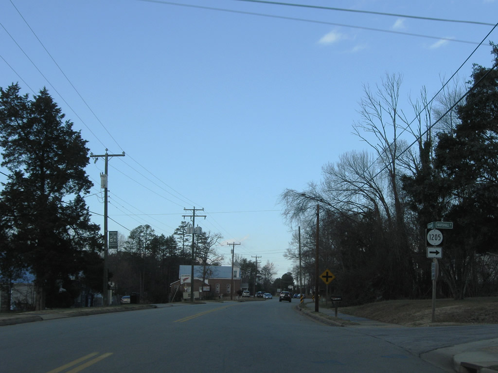
Continuing the ascent from central Drakes Branch, SR 47 meets SR 1205 (Marshall Street).
12/21/08
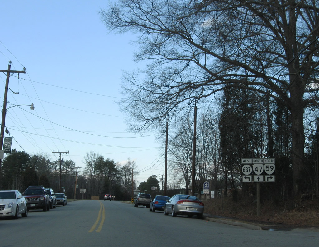
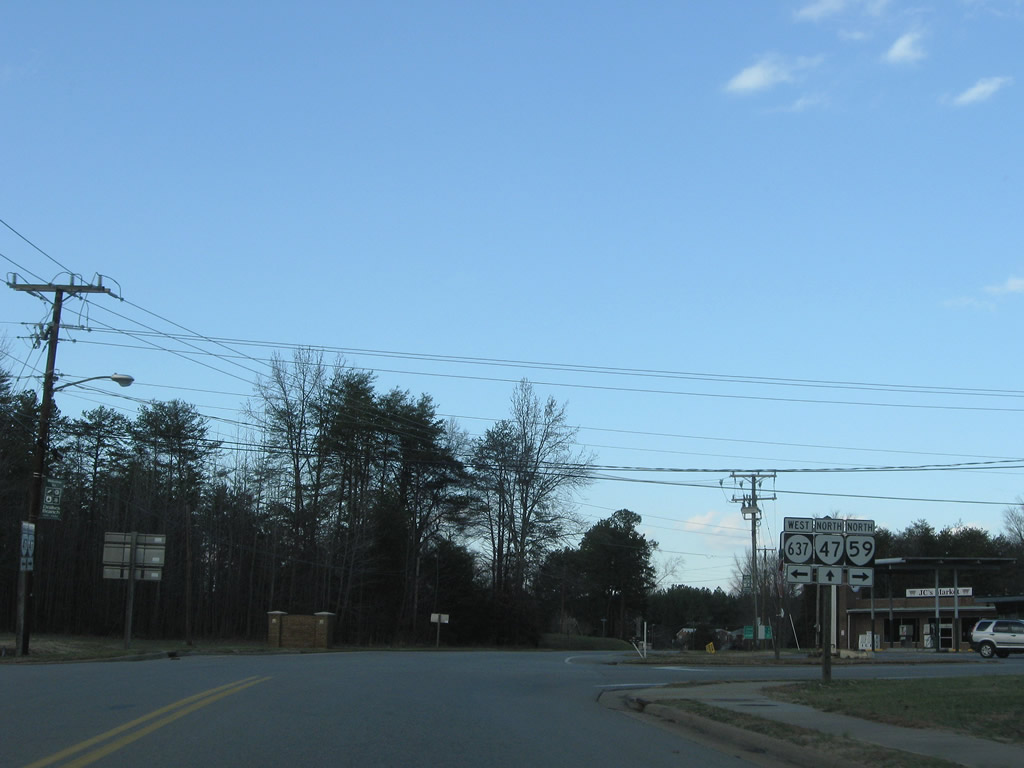
SR 637 (Saxkey Road) east and SR 59 (Gethsemane Church Avenue) south come together at SR 47 (Drakes Main Street) in northern Drakes Branch. SR 59 runs eight miles east to SR 40 at Keysville.
12/21/08
SR 637 heads southwest from SR 47/59 at Drakes Branch to Mossingford and Saxe.
12/21/08

SR 47 advances north to the Charlotte County seat of Charlotte Court Hourse in four miles and Cullen in nine miles.
12/21/08
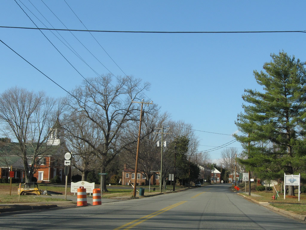
Like Drakes Branch to the south, the town limits of Charlotte Court House form a square around the community center.
12/21/08
SR 45 north at SR 1101 (Watkins Drive) west in Charlotte Court House.
12/21/08
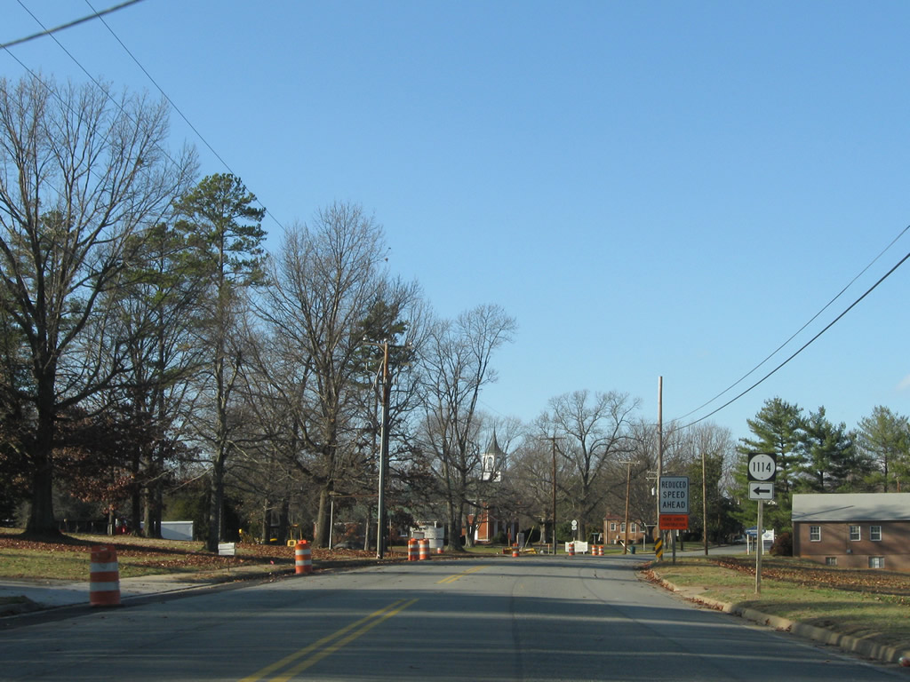
Entering center Charlotte Court House, SR 47 (Legrande Avenue) meets Law Lane (SR 1114).
12/21/08
SR 1111 follows Statesman Drive west from SR 47 (Legrande Avenue) to SR 40 (David Bruce Avenue).
12/21/08

SR 47 meets SR 40 (David Bruce Avenue), a rural highway across southern Virginia stretching 229.7 miles from Woolwine to Spring Grove.
12/21/08
SR 40 travels west to Phenix, Brookneaf, Cody, Mt. Airy, Gretna and Rocky Mount. SR 40 east continues to Keysville and Luneburg.
12/21/08

SR 47 north / SR 40 east combine for 0.1 mile along David Bruce Avenue between Legrand Avenue and Thomas Jefferson Highway.
12/21/08
 East
East  North
North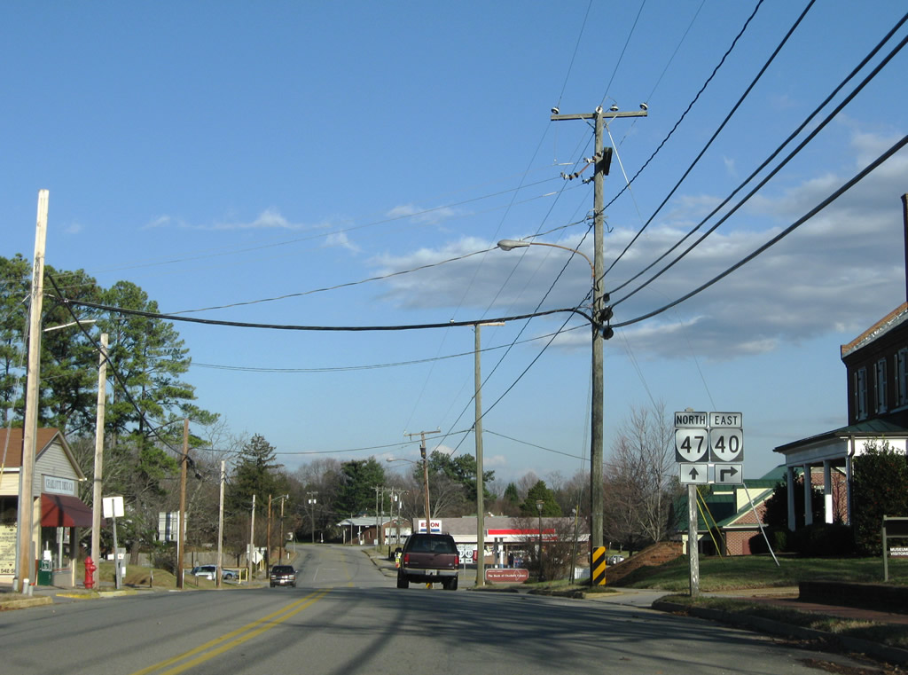
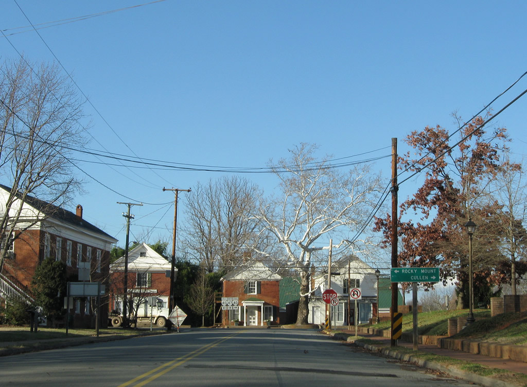
SR 40 continues east along George Washington Highway nine miles to Keysville. SR 47 resumes a northward course along the Thomas Jefferson Highway four miles to Cullen.
12/21/08
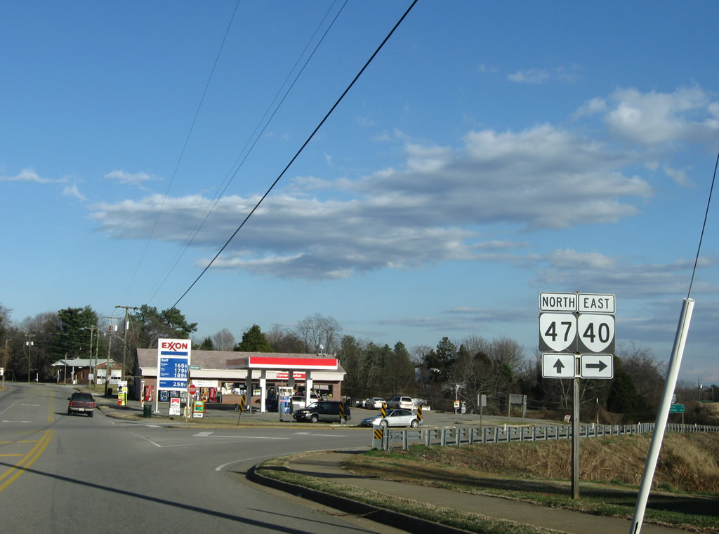
Eastbound David Bruce Avenue at the split of SR 40 east and SR 47 north.
12/21/08
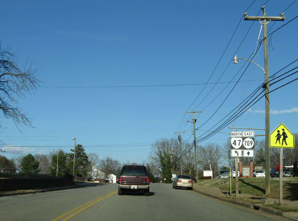
Just beyond SR 40, SR 47 partitions with SR 709 (Union Cemetery Road).
12/21/08
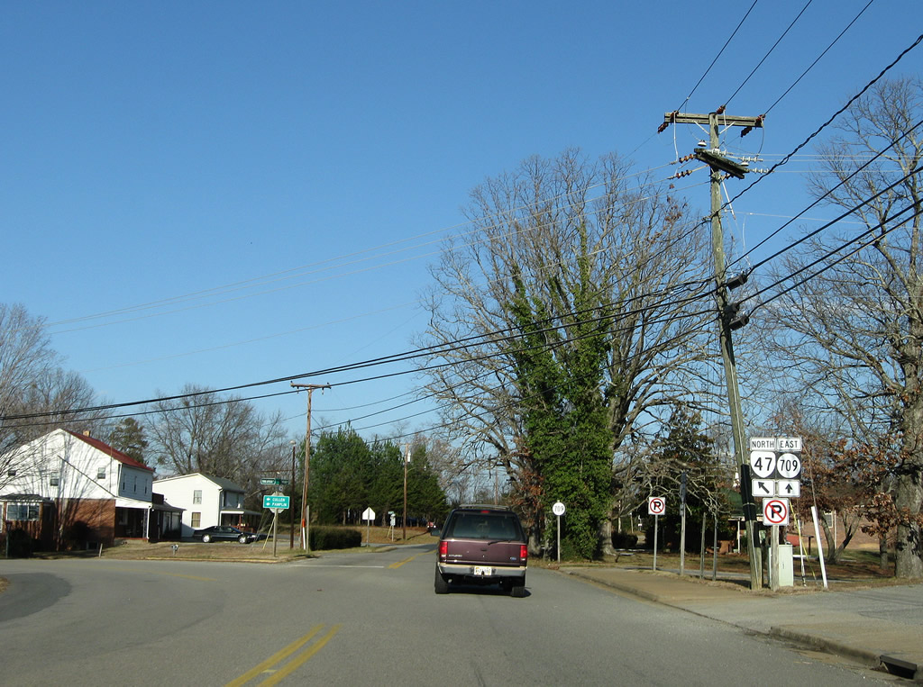
SR 709 loops to SR 604 (Roanoke Bridge Road) and SR 40 (George Washington Highway) east of Charlotte Court House.
12/21/08

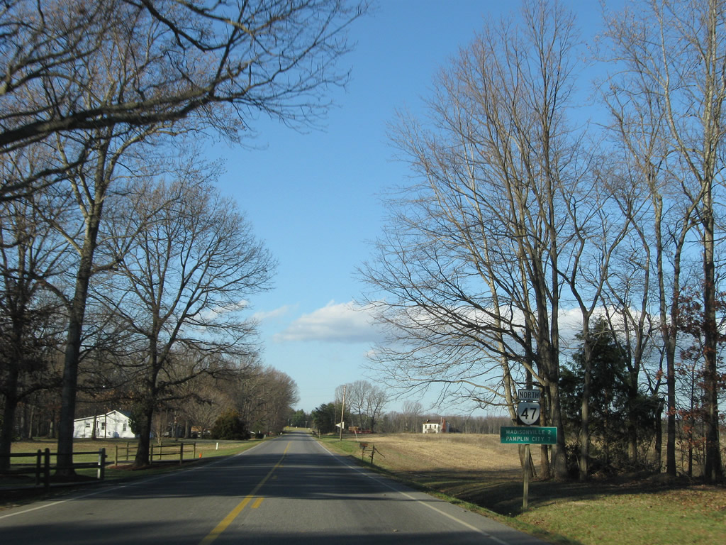
SR 47 (Thomas Jefferson Highway) proceeds north from Charlotte Court House 11 miles to Madisonville and 16 miles to Pamplin City.
12/21/08
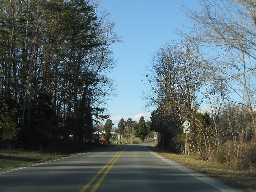
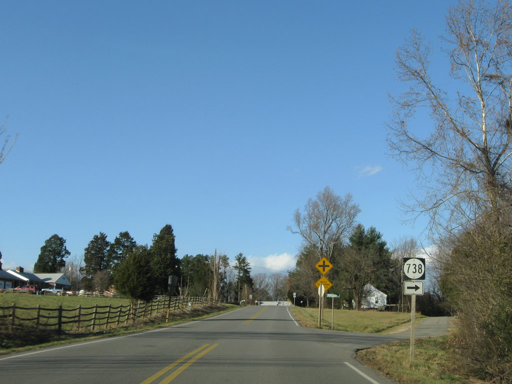
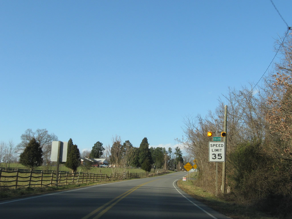
SR 738 branches away from SR 47 (Thomas Jefferson Highway) north along Railway View Lane at Cullen.
12/21/08
SR 739 constitutes a short loop east of SR 47 along Railway View Lane and Ferguson Road.
12/21/08
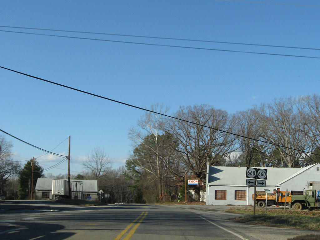
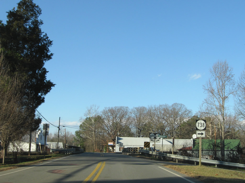
SR 660 (Virginian Road west / Taro Road north) joins Cullen with SR 650 to the west and Taro to the northeast.
12/21/08
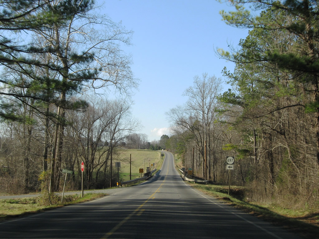
SR 697 follows Dixon Road north from Cullen to Thomas Jefferson Highway at Middle Branch.
12/21/08
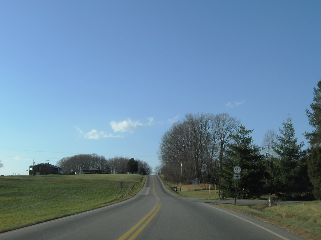
Curving northwest, SR 47 meets SR 661 (Wards Fork Mill Road) north to Wards Fork Mill.
12/21/08
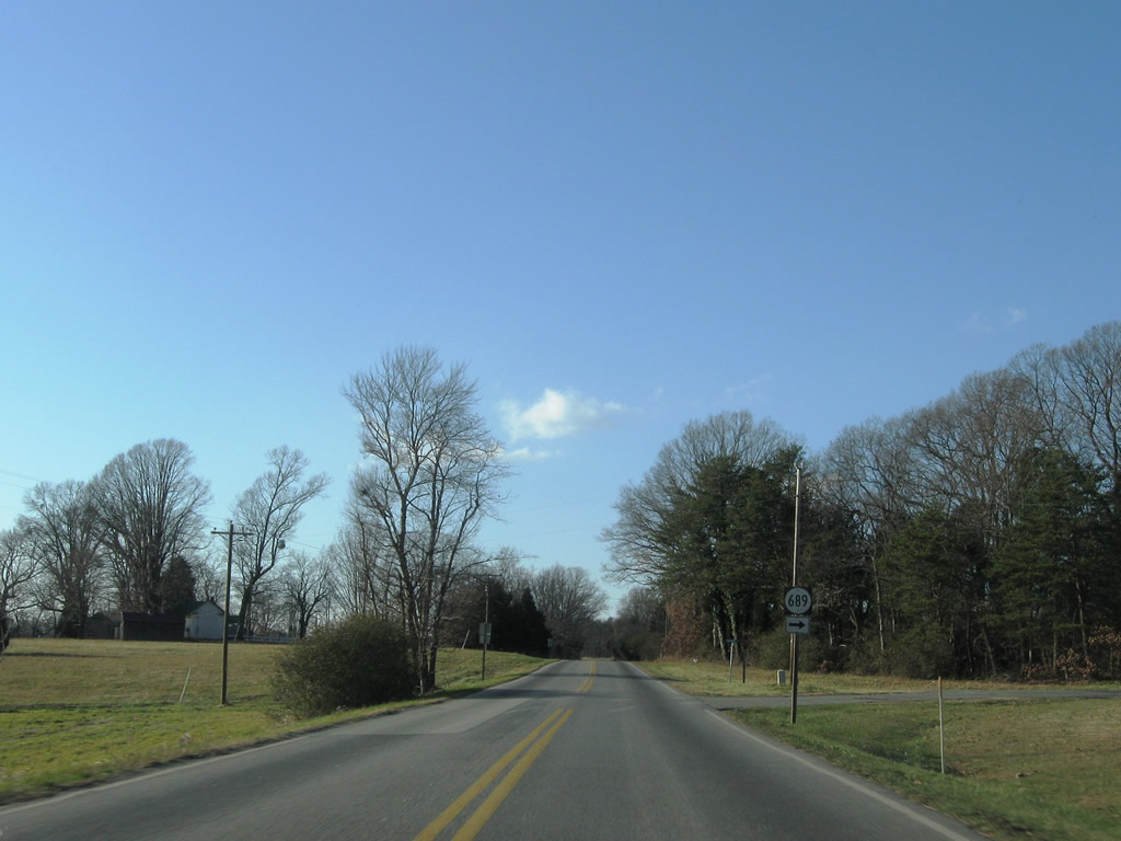
Turning westward along SR 47 at SR 689 (Carwile Road) north.
12/21/08
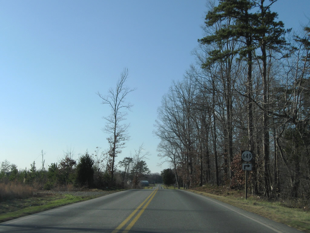
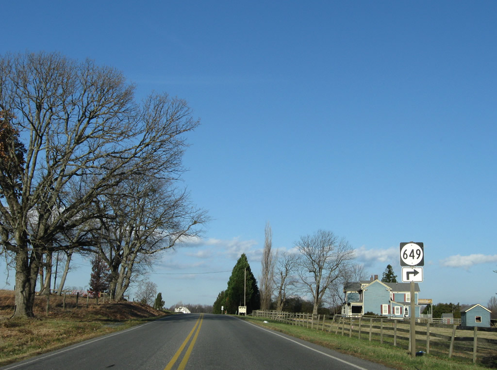
SR 649 (Crawley Road) travels south from SR 47 at Madisonville to SR 689 and SR 40.
12/21/08
SR 649 continues south from SR 47 a short distance west of Crawley Road for Germantown Road south to SR 40 at Womacks.
12/21/08
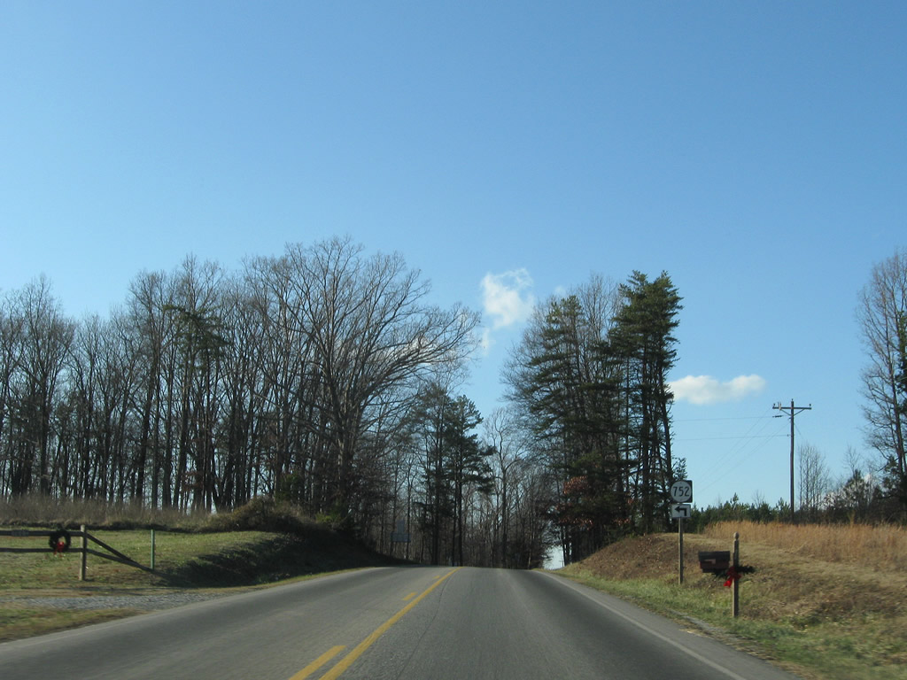
Turning northward again near Vincent Corner, SR 47 (Thomas Jefferson Highway) intersects SR 752 (Azalea Road) south.
12/21/08
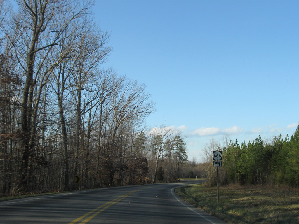
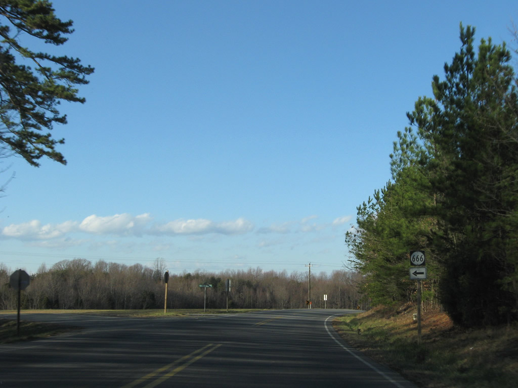
SR 666 (Vincent Store Road) arcs west from Vincent Corner to SR 727 (Red House Road) southeast of Rough Creek.
12/21/08
Continuing north from Vincent Corner, SR 47 reaches Madisonville in two miles and ends at Pamplin City in seven miles.
12/21/08
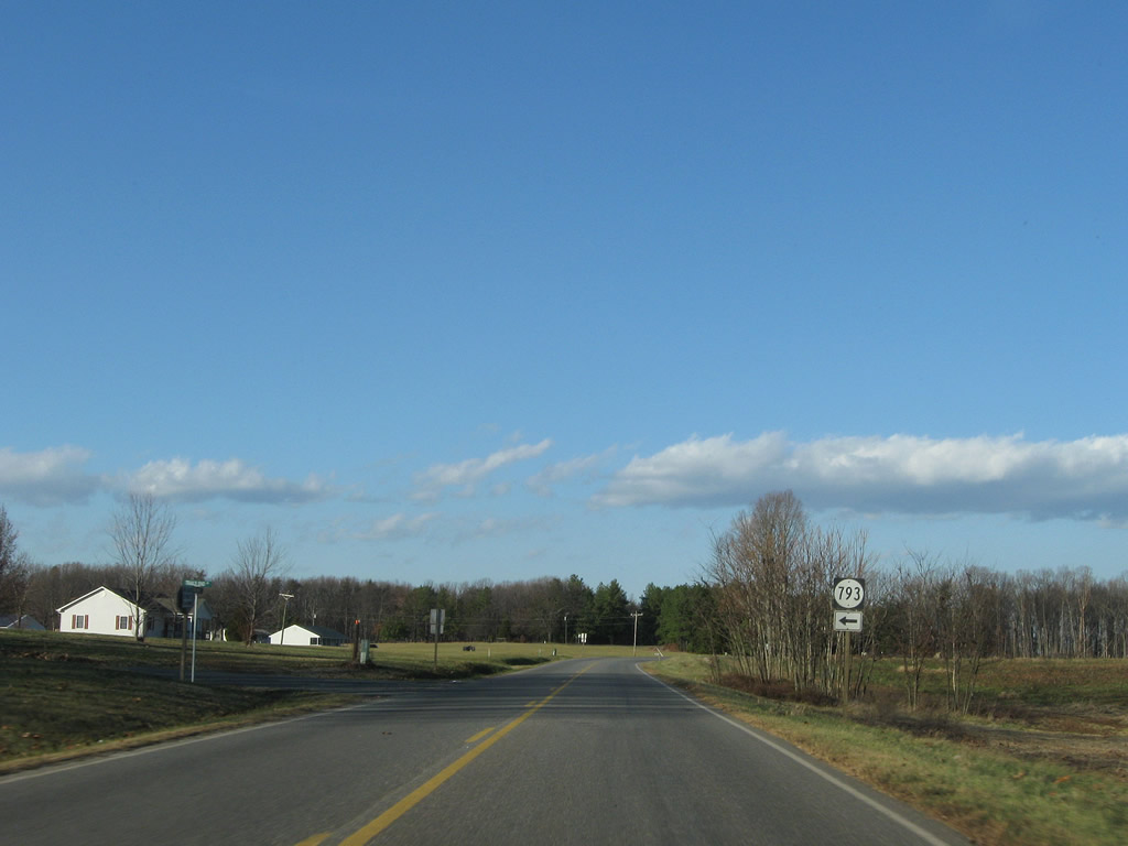
Entering an area of farm fields along SR 47 north at SR 793 (Trails End Road) west.
12/21/08
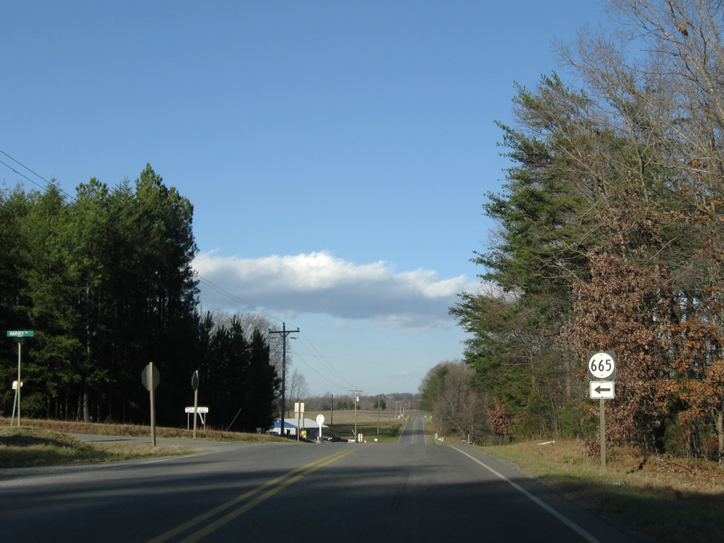
SR 665 (Harvey Road), like SR 666, arcs between SR 727 (Red House Road) and SR 47 (Thomas Jefferson Highway).
12/21/08
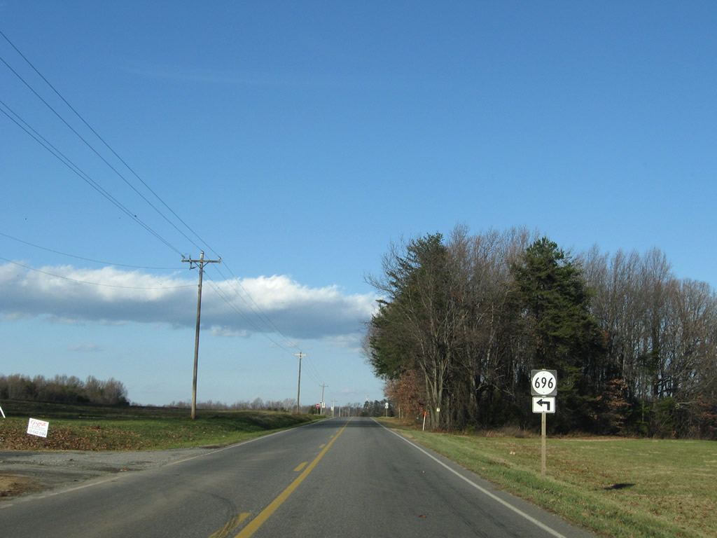
Corner Road travels north from Harvey Road as SR 696 to SR 47.
12/21/08
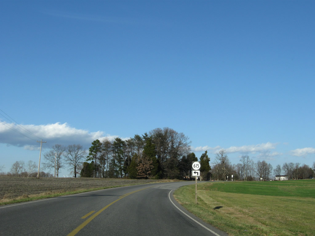
Rolling Hill Road carries SR 615 west from SR 47 to Rolling Hill and Red House.
12/21/08
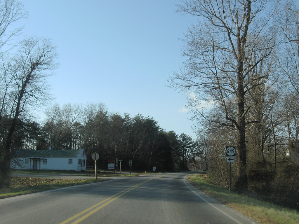
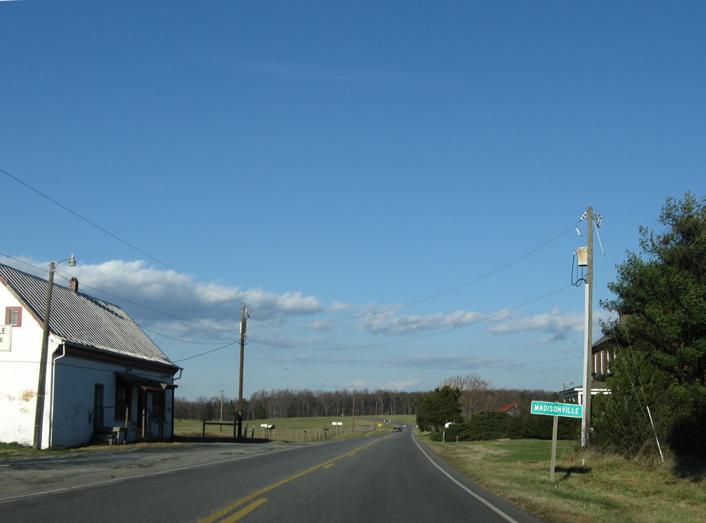
SR 649 (Crawley Road) returns to SR 47 at the settlement of Madisonville.
12/21/08
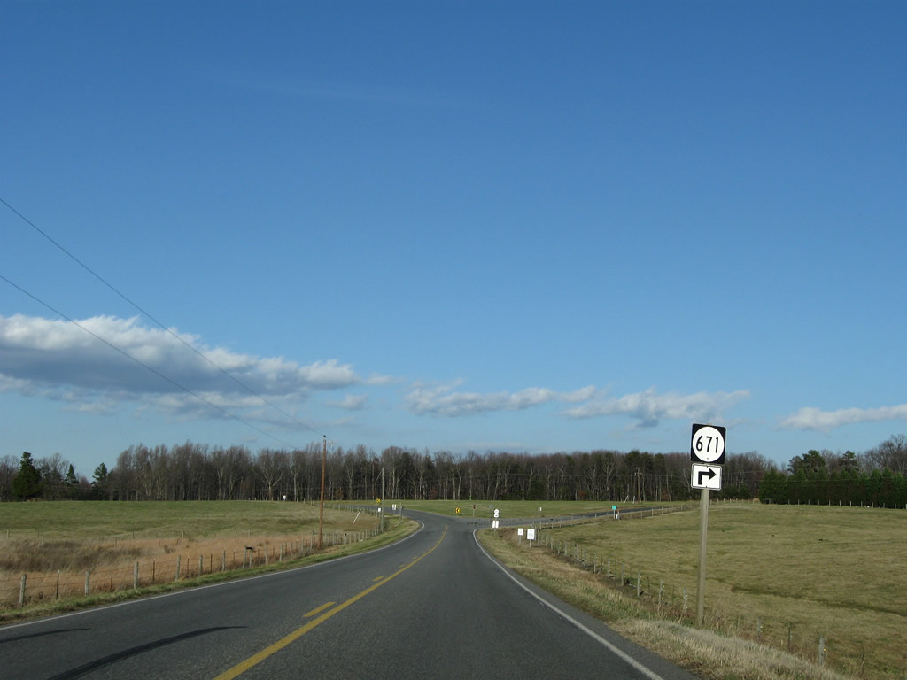
SR 47 travels through Madisonville and meets SR 671 (County Line Road).
12/21/08
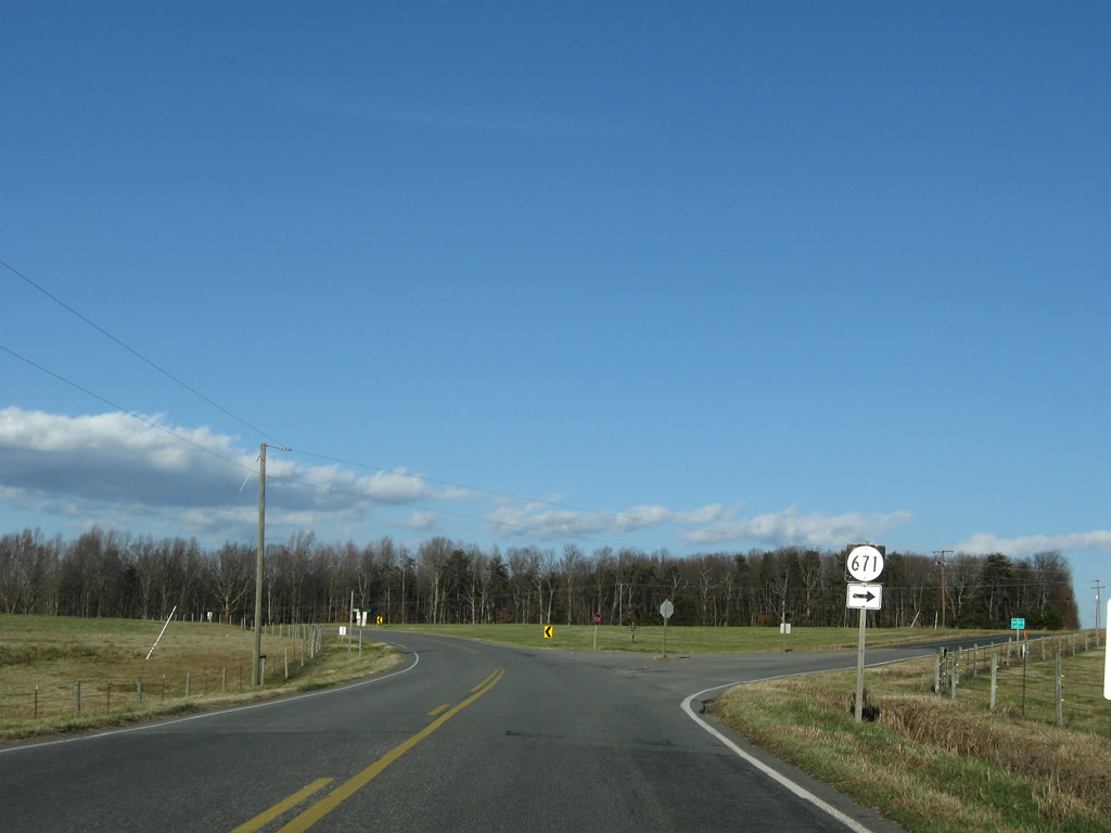
SR 671 straddles the county line from SR 47 east toward Baker Mountain and Maloney Siding. Their intersection represents a corner of Prince Edward and Charlotte Counties.
12/21/08
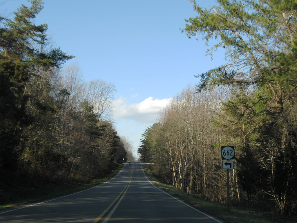
SR 47 follows the county line north to SR 662 (Tower Loop Road). SR 662 travels the southern half of Tower Loop Road to SR 691 (Tower Road) west over Lyle Mountain.
12/21/08
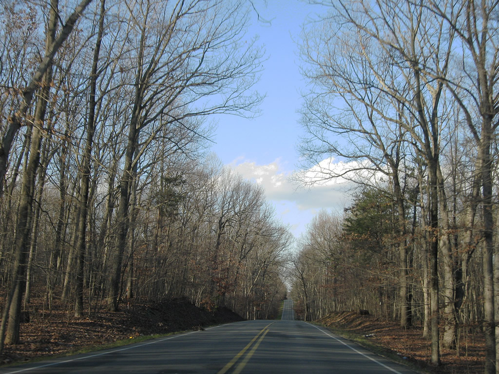
SR 47 (Thomas Jefferson Highway) north over Lyle Mountain.
12/21/08
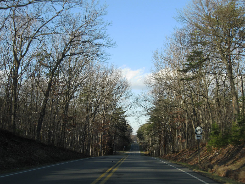
SR 691 continues Tower Loop Road back to SR 47 north of Lyle Mountain.
12/21/08
Although still following the county border, this sign formally marks the Prince Edward County line along SR 47 north of Deer Road.
12/21/08
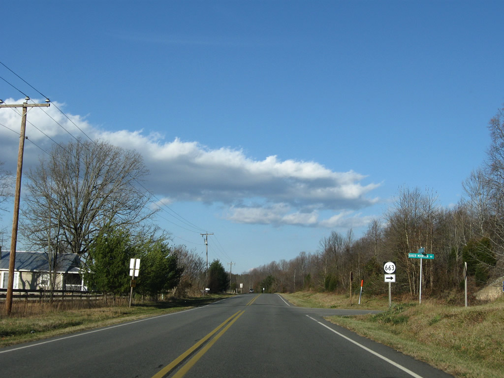
Baker Mountain Road (SR 663) ventures southeastward to Spring Creek Lake and Baker Mountain.
12/21/08
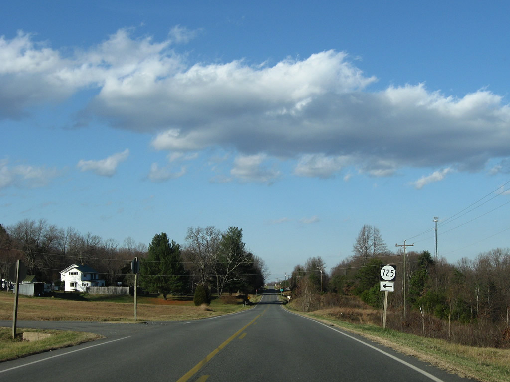
SR 725 (Point Road) provides a cutoff from SR 47 north to SR 638 (Wheelers Springs Road) west along the Appomattox and Charlotte County line.
12/21/08
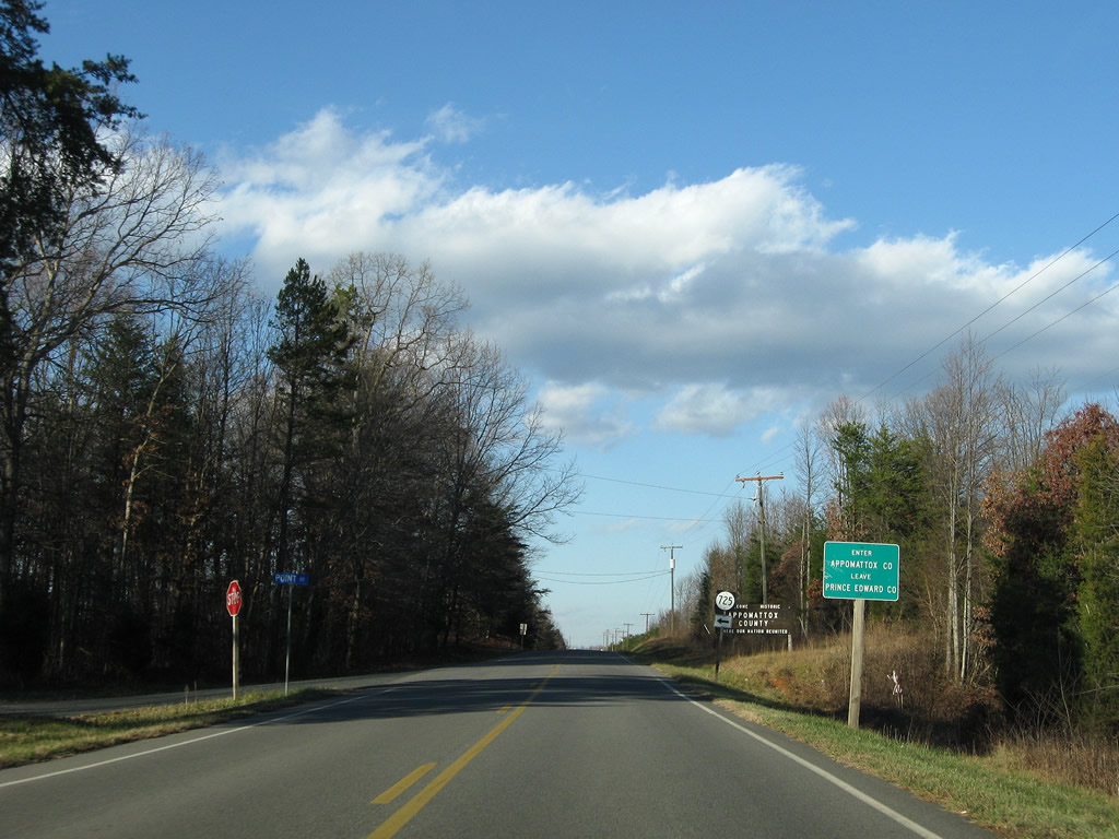
SR 725 (Point Road) returns from SR 638 where SR 47 diverges from the county line. SR 638 lines the Appomattox County boundary west to SR 727 north of Red House.
12/21/08
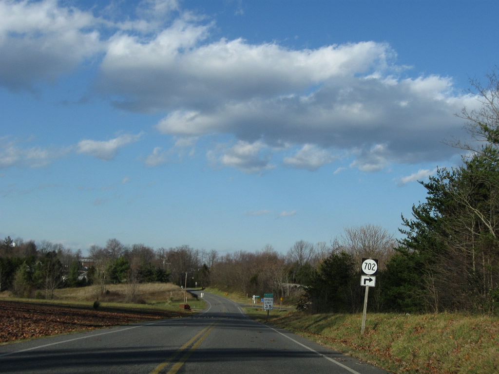
SR 702 parallels SR 47 south along Merriman Shop Road in south Pamplin City.
12/21/08
SR 47 (Thomas Jefferson Highway) enters Pamplin City formally ahead of SR 702 (Merriman Shop Road) south.
12/21/08
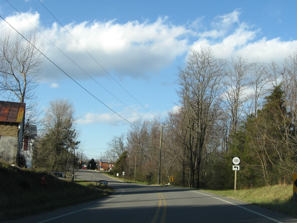
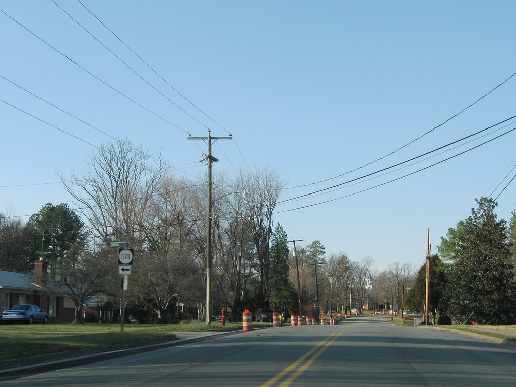
Lukin Road (SR 1101) angles westward to become SR 629 west outside of Pamplin City.
12/21/08
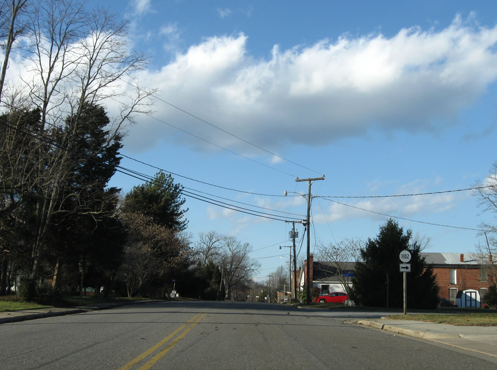
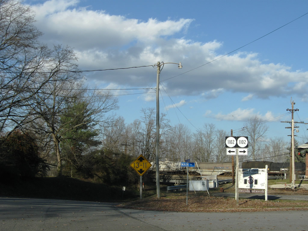
Main Street doubles as SR 1102 as it loops east of SR 47 (Thomas Jefferson Highway).
12/21/08
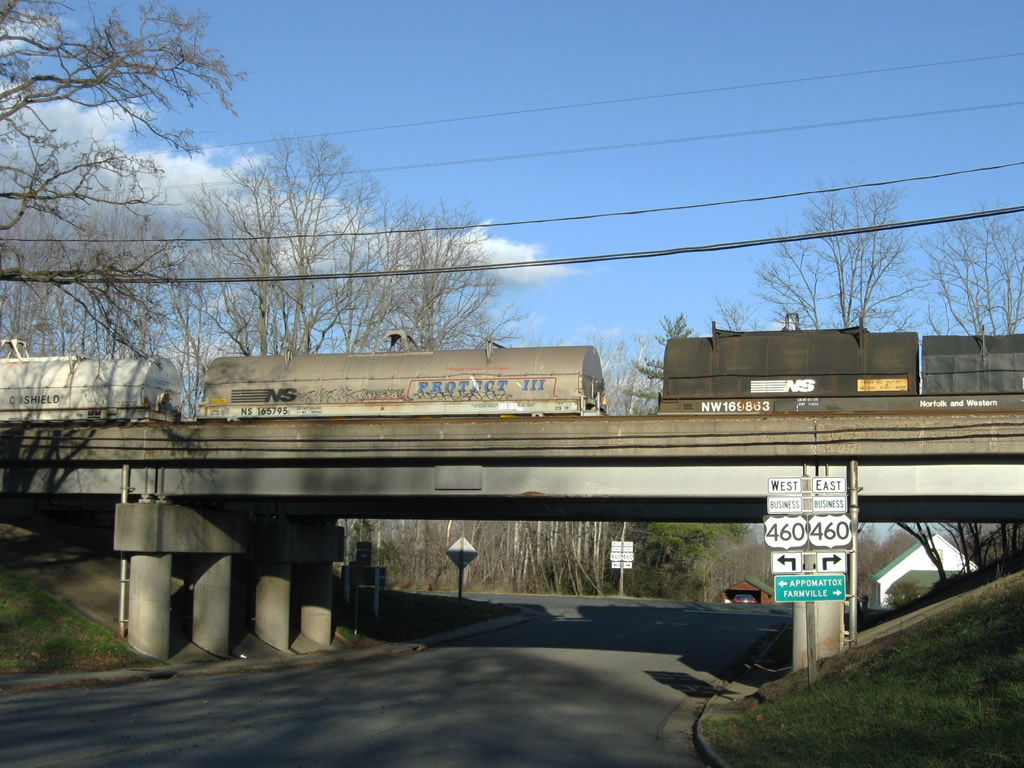
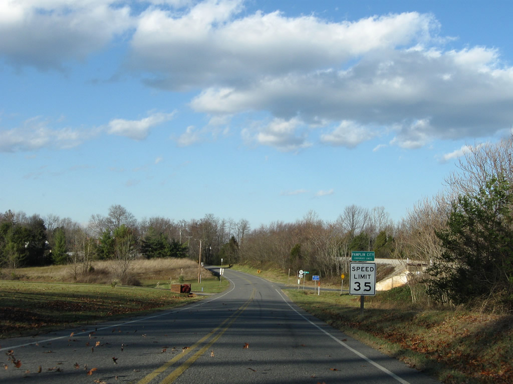
SR 47 concludes at U.S. 460 Business (Pamplin Road) just beyond the Norfolk Southern Railroad.
12/21/08
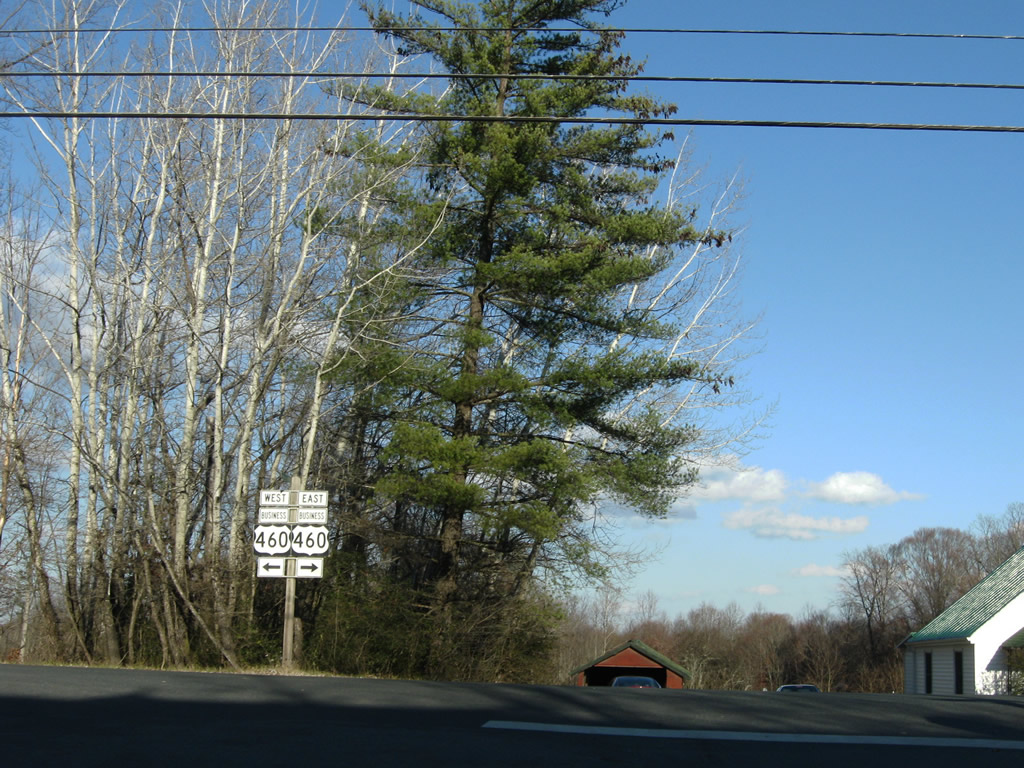
U.S. 460 Business follows Pamplin Road south of the expressway bypass along U.S. 460. U.S. 460 runs west to Appomattox and Lynchburg and east to Farmville and Blackstone.
12/21/08
Photo Credits:
- ABRoads: 12/21/08
Connect with:


Page Updated Saturday May 08, 2021.