
State Route 134
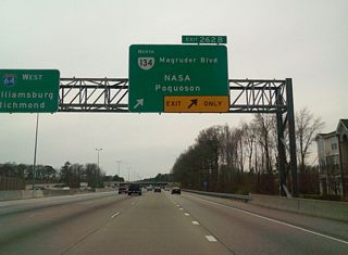
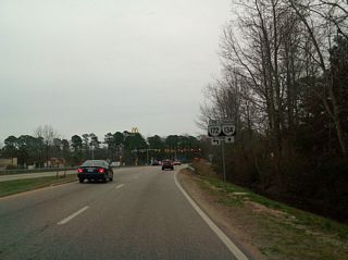
12.15 miles in length, Virginia Route 134 runs north from U.S. 60/SR 143 (Settlers Landing Road) in the city of Hampton to U.S. 17 (George Washington Memorial Highway) at the unincorporated community of Tabb in York County. SR 134 lines Armistead Avenue northwest from Downtown Hampton to the Coliseum Central business district, where it combines with U.S. 258 (Mercury Boulevard) west to I-64. Turning north alongside I-64, SR 134 shifts onto Magruder Boulevard, a 1960s-era expressway running north into York County. Crossing Brick Kiln Creek, Magruder Boulevard becomes Hampton Highway, a four lane suburban arterial to Bethel Manor and U.S. Route 17.
Virginia Route 134 Guides
Connect with:
Page Updated Thursday April 22, 2021.