
State Trunk Highway 22

State Trunk Highway 22 overall travels 172.2 miles through the Beaver state, connecting Oconto along Green Bay with several cities, including Shawano, Clintonville, Waupaca and Wautoma within the central interior of Wisconsin. Primarily signed with north and south banners, Wis 22 stair steps through the state, utilizing several east to west components. Wis 22 concludes 16 miles north of Madison.
State Trunk Highway 22 Guides
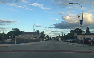
North - Oconto County - 33 photos
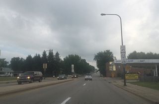
South - Clintonville - 6 photos
Wis 22 begins a dumbbell interchange with U.S. 41 in Oconto and travels west, passing through Oconto Falls and Gillett. Turning southwesterly at Gillett, Wis 22 follows close to Shawano Lake before entering into Shawano, where it once again turns south to meet Wis 29. Continuing into Waupaca County, Wis 22 joins U.S. 45 in Clintonville only to leave at Bear Creek for Symco and Wis 110. The two state trunk highways travel southward together through Manawa before Wis 110 departs for Weyauwega and Wis 22 leaves for Waupaca.
Wis 22 combines with the freeway along U.S. 10 briefly to the east and south of Waupaca. Traveling west and south from Waupaca, Wis 22 continues through rural central Wisconsin to Wautoma in Waushara County. Staying east of Interstate 39 and U.S. 51, Wis 22 proceeds south to Montello, Pardeeville and Wyocena before ending at U.S. 51 and Wis 60 east of Arlington.
Connect with:
Page Updated Wednesday October 30, 2019.