05/09/05 photos taken by Alex Nitzman.
| U.S. 20/NY 5 West |
|
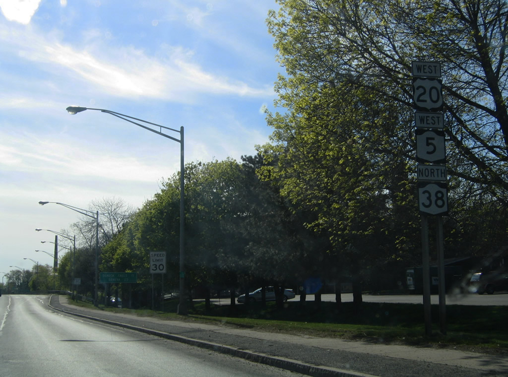
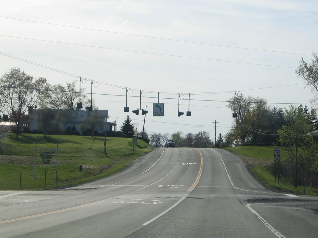
New York 38 joins U.S. 20/NY 5 west for 0.17 miles from downtown Auburn, New York 34 (South Street) to State Street. Photo taken 05/09/05. |
|
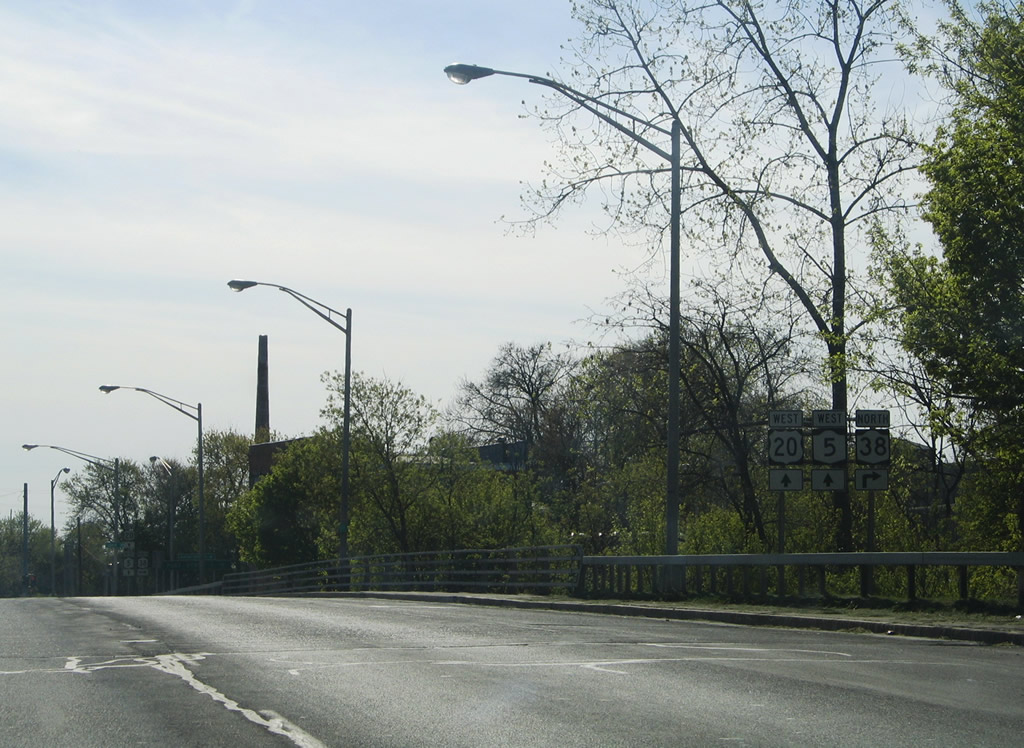
Spanning the Owasco Outlet bridge, U.S. 20/NY 5 west approach their split with New York 38 north. Photo taken 05/09/05. |
|
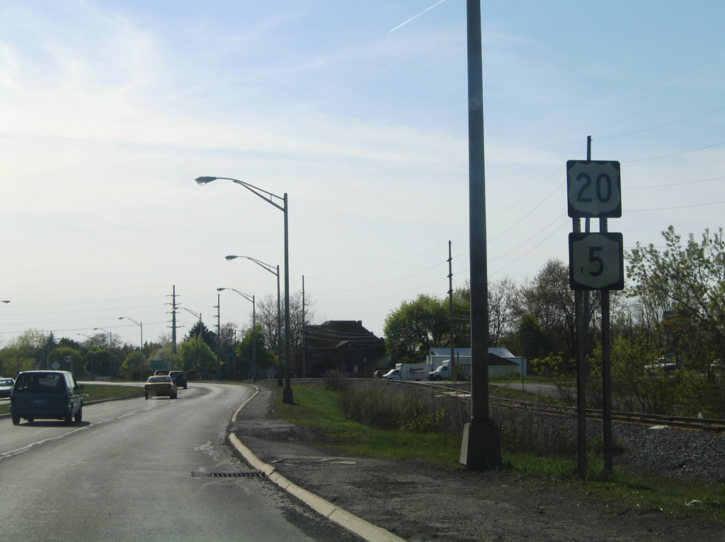
New York 38 travels northward to Cold Spring and Port Byron from U.S. 20/NY 5. Overall the state route travels 95.67 miles from Owego to Sterling. Photo taken 05/09/05. |
|
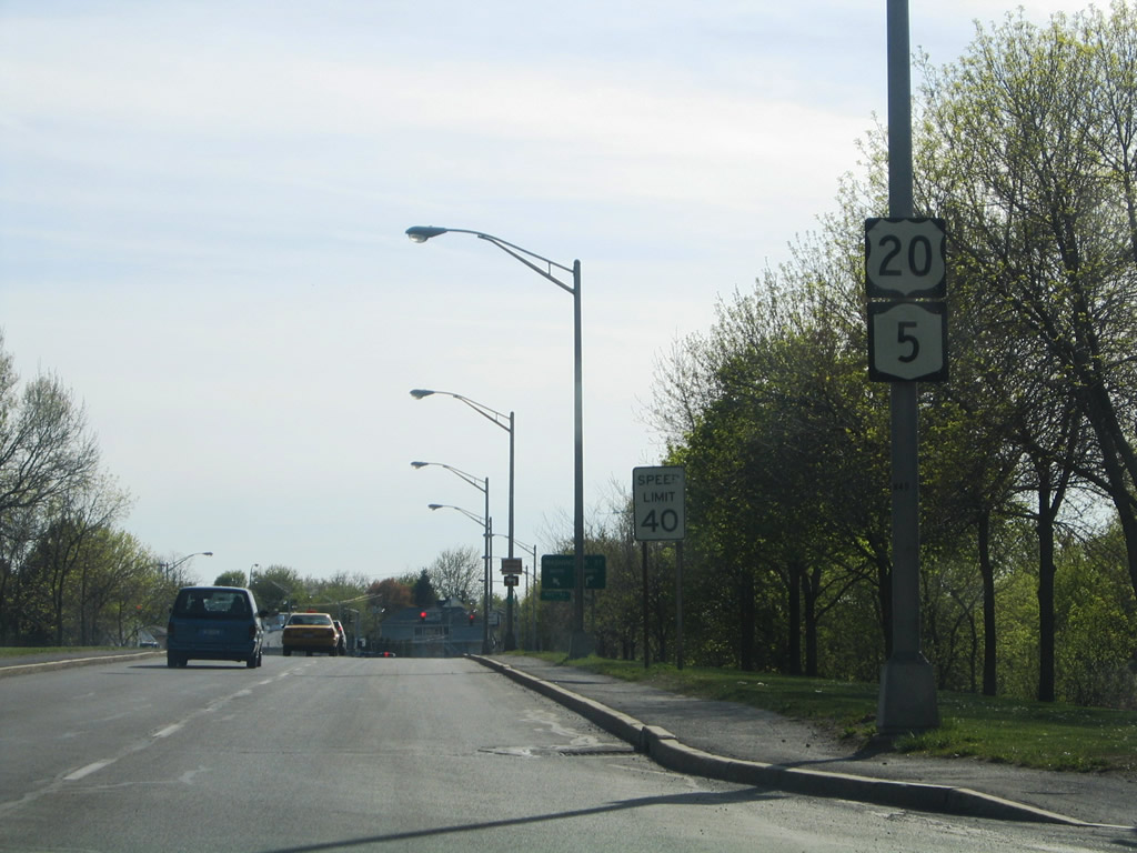
U.S. 20/NY 5 continue west through Auburn. Westbound and eastbound follow separate carriageways through downtown. This alignment replaced U.S. 20's routing along Genesee Street. Photo taken 05/09/05. |
|
Older shields for U.S. 20/NY 5 west posted after McMaster Street. The Owasco Outlet flows just north of the arterial. Photo taken 05/09/05. |
|
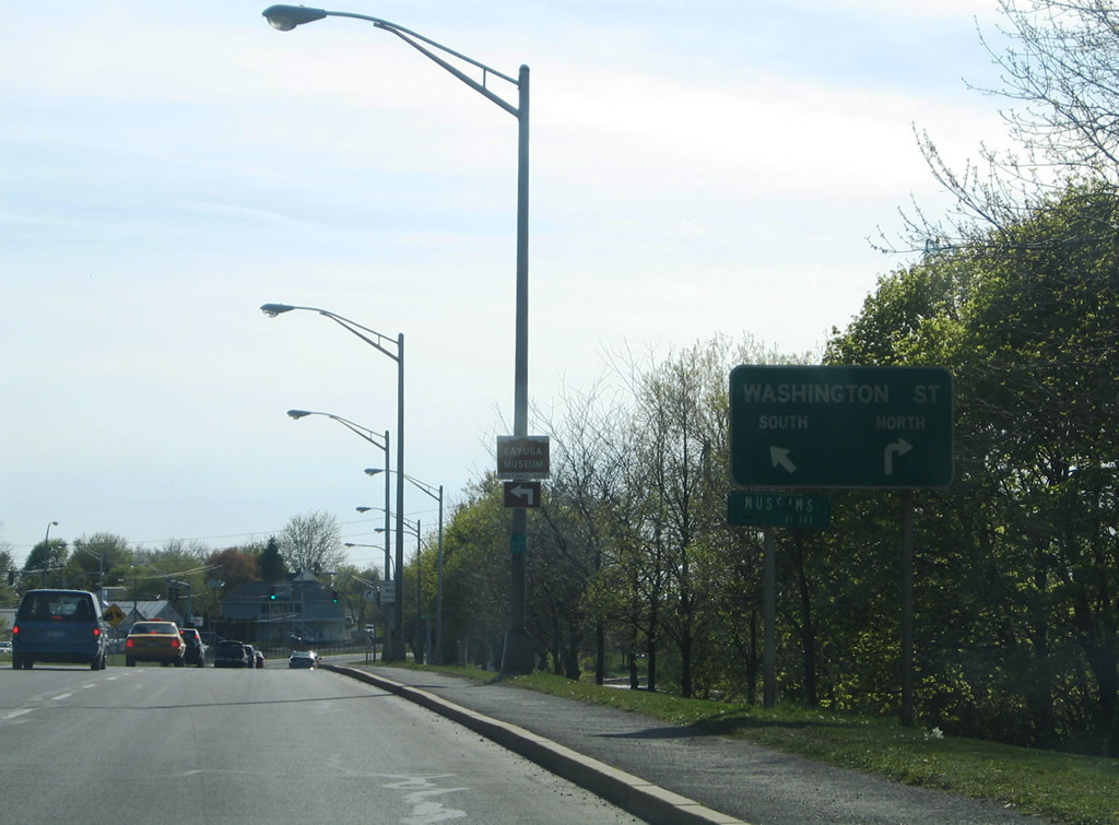
Approaching the intersection with Washington Street on U.S. 20/NY 5 west in Auburn. Washington Street heads south to Genesee Street (former U.S. 20) and north to Grant Street. Photo taken 05/09/05. |
|
The split carriageways of U.S. 20/NY 5 combine at Washington Street. Photo taken 05/09/05. |
|
Leaving the intersection with Washington Street on U.S. 20/NY 5 west. Photo taken 05/09/05. |
|
U.S. 20/NY 5 are extremely well signed in that shields reside even after a CSX Railroad crossing between Washington and Columbus Streets in Auburn. Photo taken 05/09/05. |
|
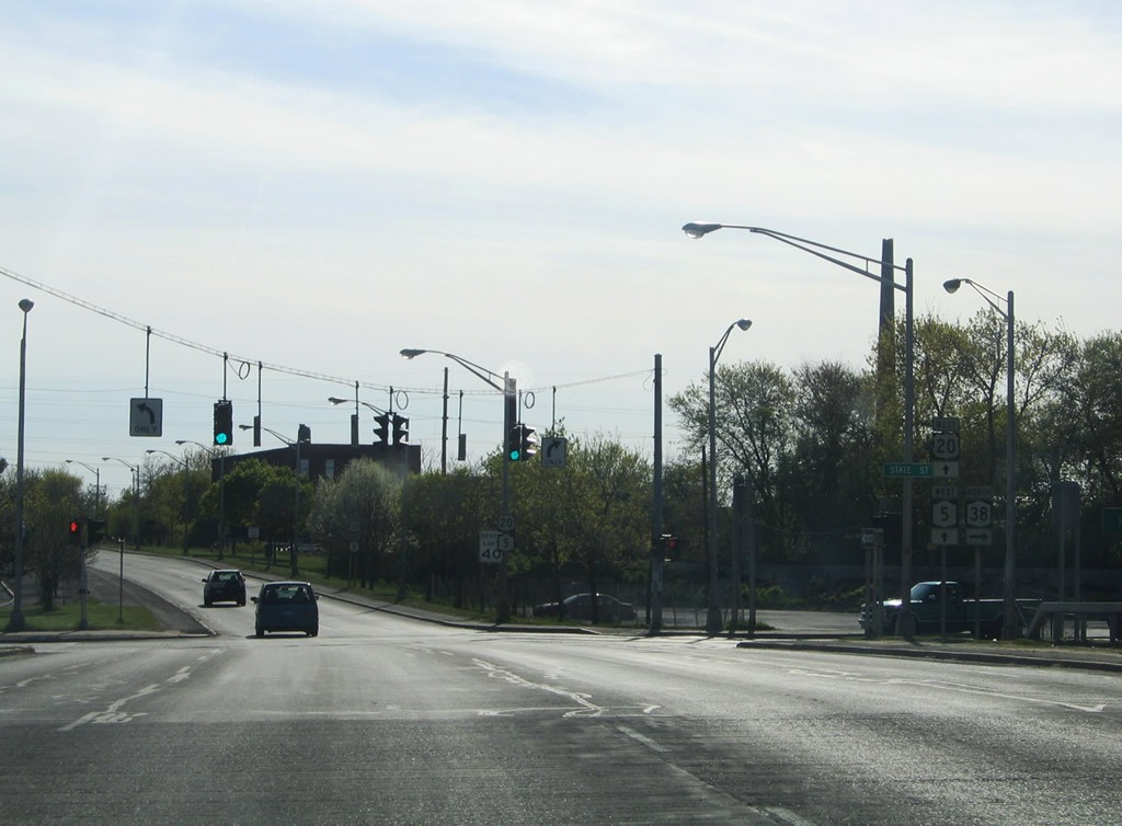
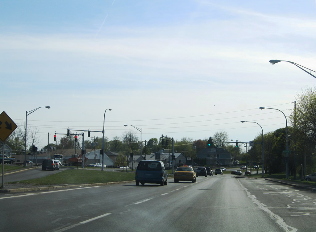
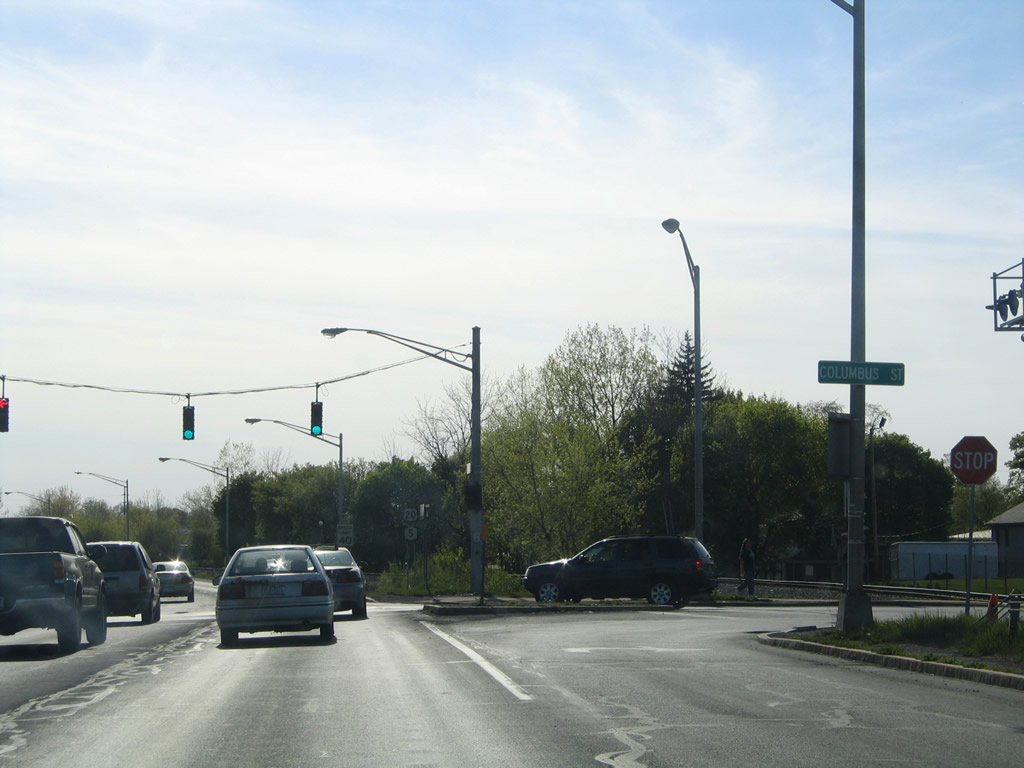
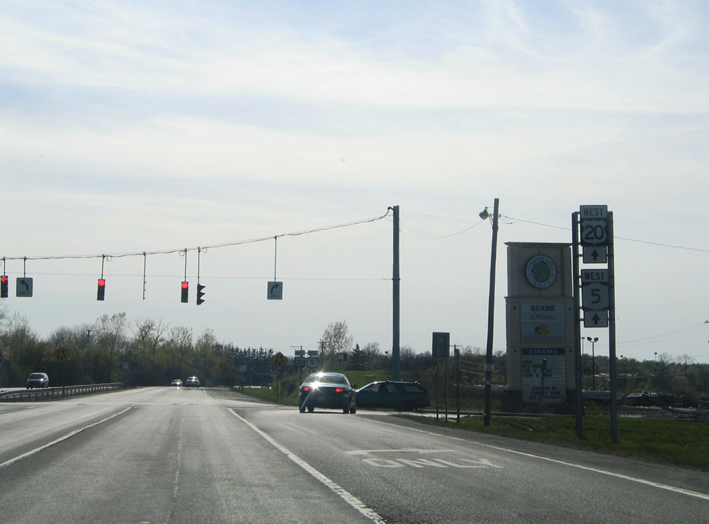
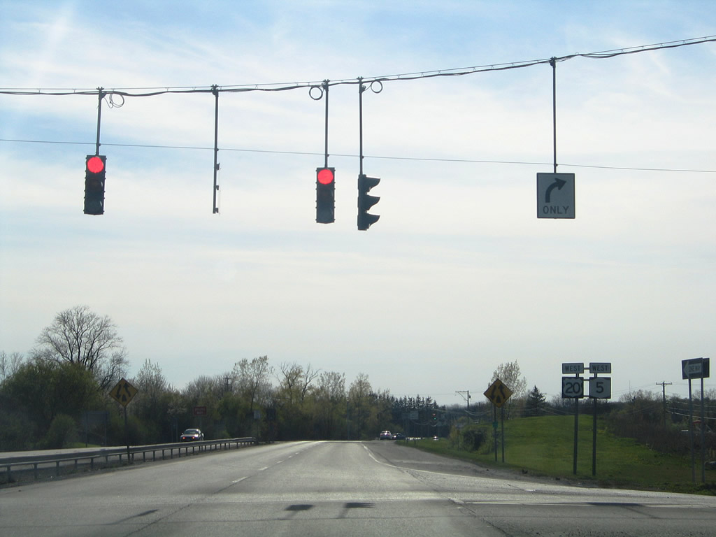
Traffic lights govern the intersection of U.S. 20/NY 5 with Columbus / Division Streets. Columbus Street heads south to Genesee Street and Dunning Avenue; Division Street stems north from U.S. 20/NY 5 to Casey Park and Cayuga County 104. Photo taken 05/09/05. |
|
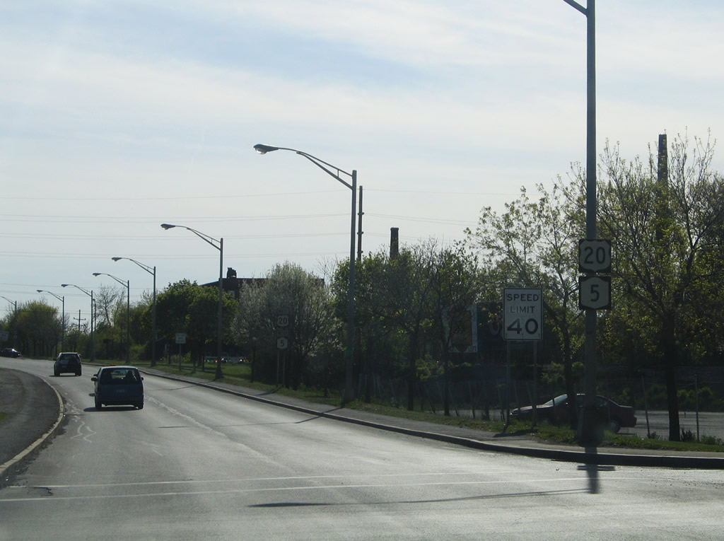
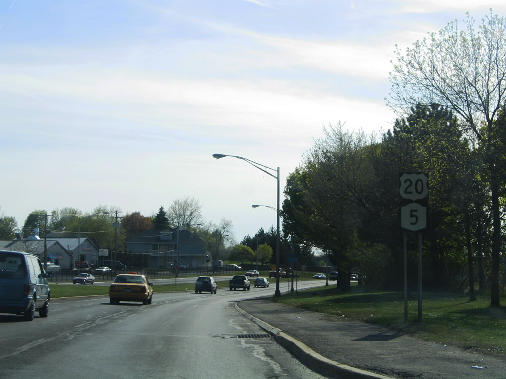
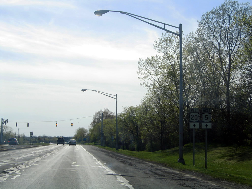
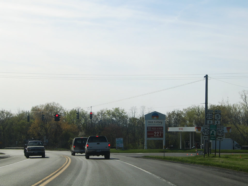
U.S. 20/NY 5 continue as a four-lane divided highway out of Auburn. Photo taken 05/09/05. |
|
|
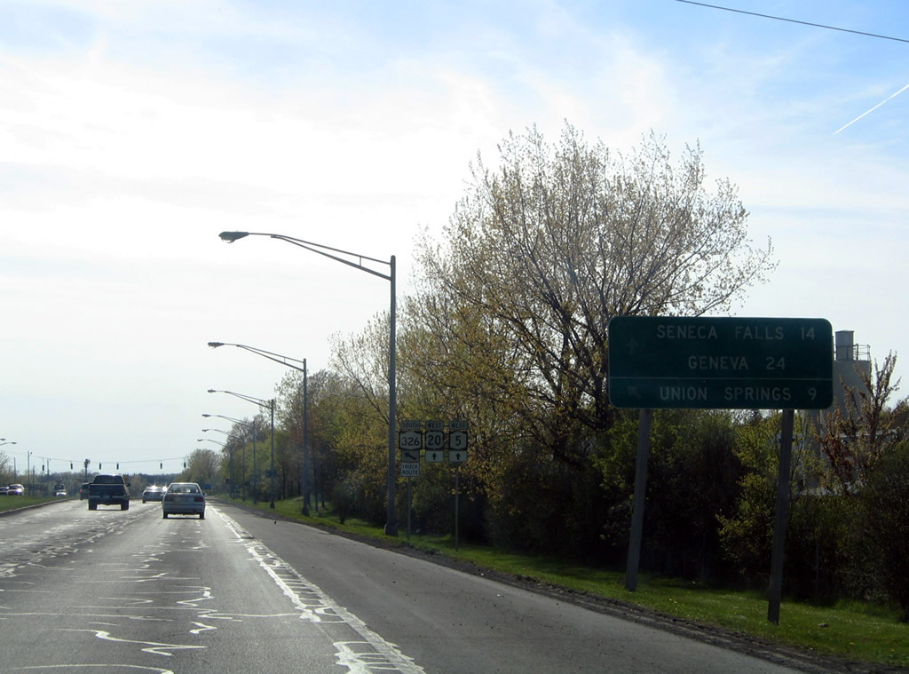
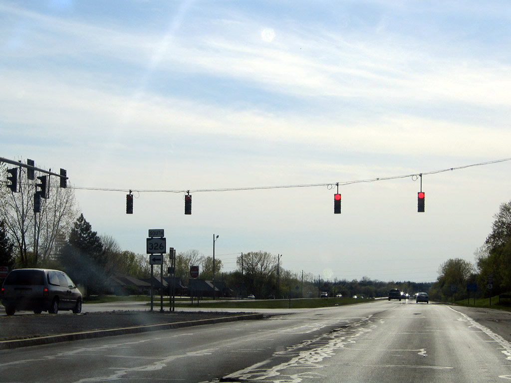
Nearing the eastern terminus of New York 326 (Veterans Memorial Parkway) on U.S. 20/NY 5 west. Photos taken 05/09/05. |
|
|
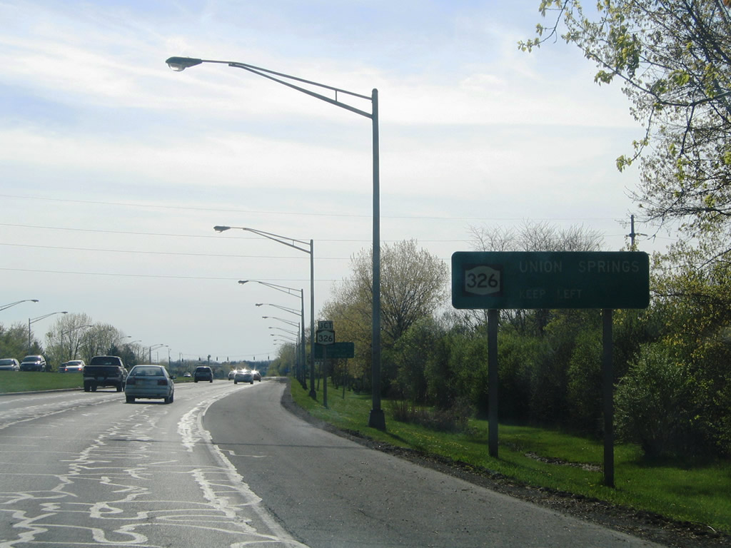
New York 326 angles southwest from Auburn 8.74 miles to New York 90 north of Union Springs. Photos taken 05/09/05. |
|
U.S. 20/NY 5 continue west from Auburn into the town of Aurelius. Photo taken 05/09/05. |
|
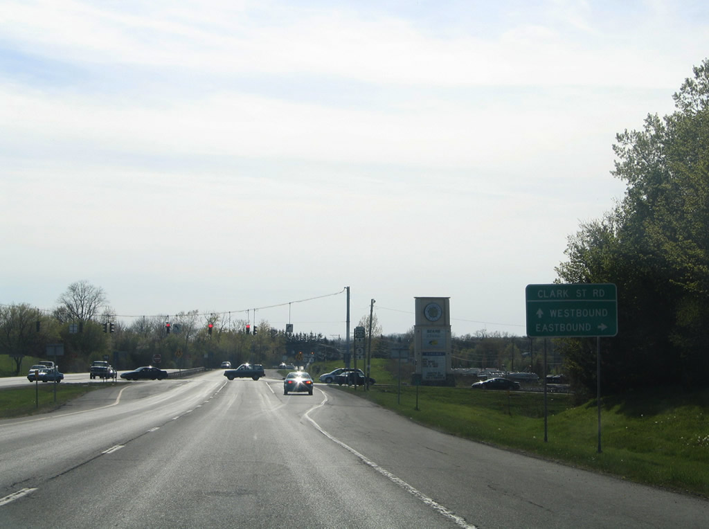
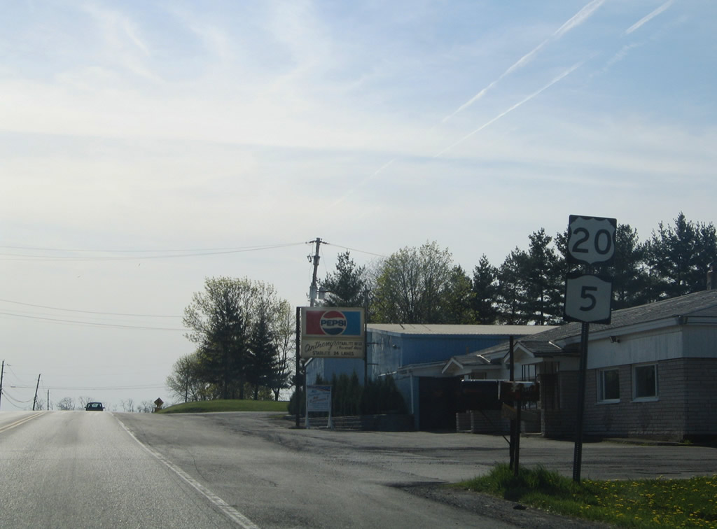
Approaching Clark Street east and the Finger Lakes Mall on U.S. 20/NY 5 west. Photo taken 05/09/05. |
|
Westbound U.S. 20/NY 5 become Clark Street Road west from Clark Street to the Seneca County line. Photo taken 05/09/05. |
|
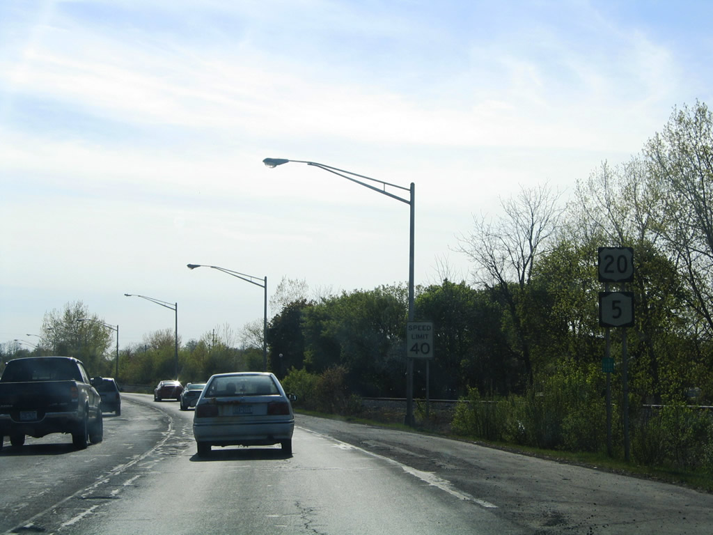
Clark Street stems east from the Finger Lakes Mall access road. A short segment of original Clark Street lies abandoned between the shopping center and U.S. 20/NY 5. U.S. 20/NY 5 reduce from four to two lanes beyond the shopping complex. Photo taken 05/09/05. |
|
|
Half Acre Road (Cayuga County 9) intersects U.S. 20/NY 5 before this shield assembly. Half Acre Road leads south and becomes New York 326 at Genesee Street and Cayuga County 1. Photos taken 05/09/05. |
|
Curving westward along Clark Street Road after the CSX Railroad in Aurelius. Photo taken 05/09/05. |
|
A set of flashers hang above the intersection of U.S. 20/NY 5 west at Blanchard Road. Blanchard Road ventures south to Genesee Street and north to Cayuga Turnpike near Fosterville. Photo taken 05/09/05. |
|
|
Additional westbound reassurance shields posted after the intersection with Blanchard Road. Photo taken 05/09/05. |
|
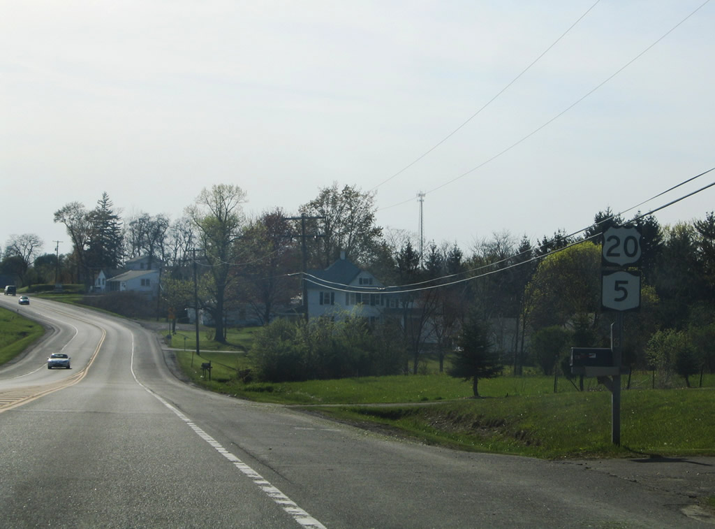
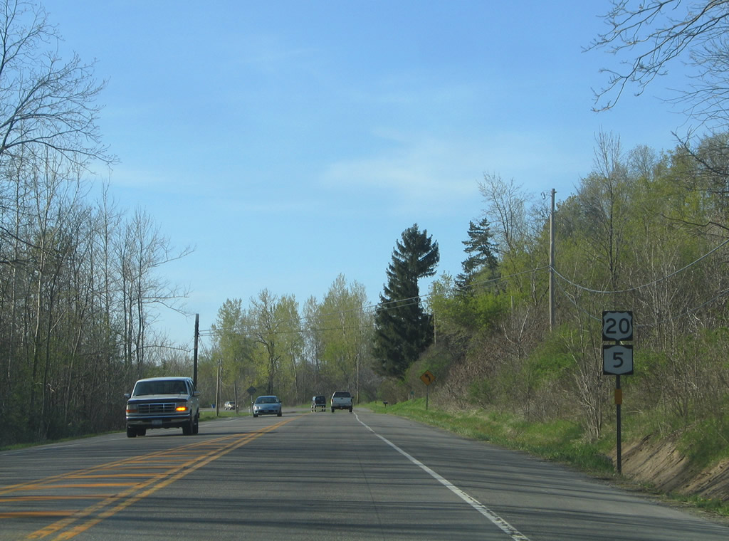
Turnpike Road (Cayuga County 10C) travels west from New York 5 near Senett to end at U.S. 20/NY 5 in west Aurelius. This set of shields resides after the county route end. Photo taken 05/09/05. |
|
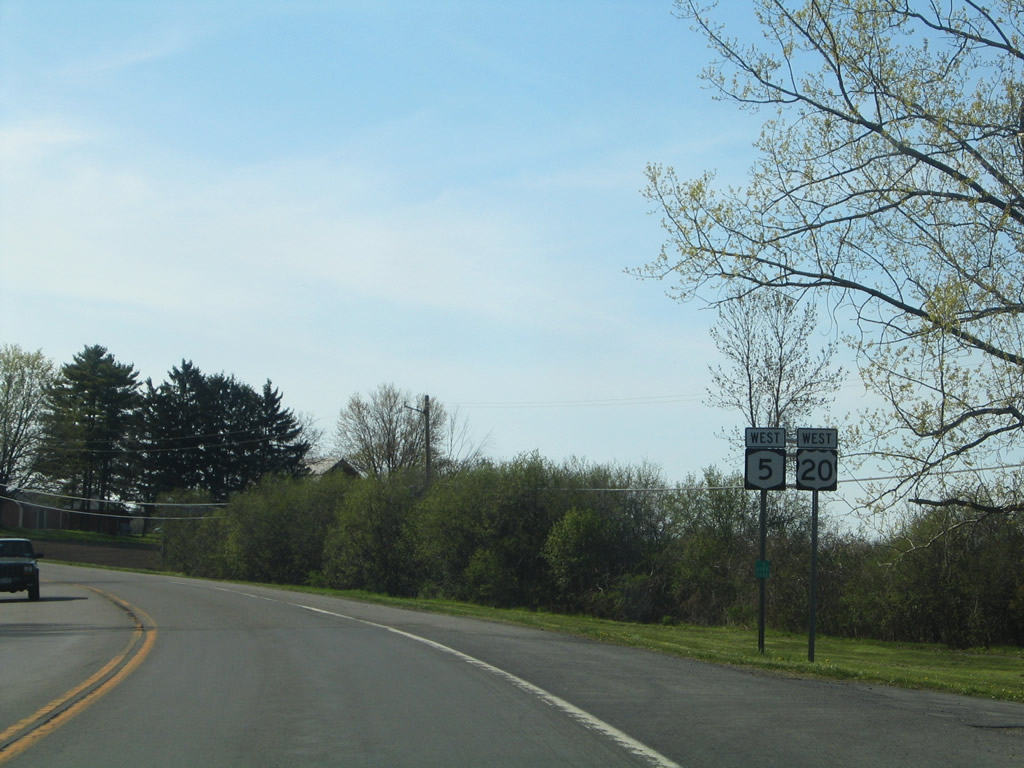
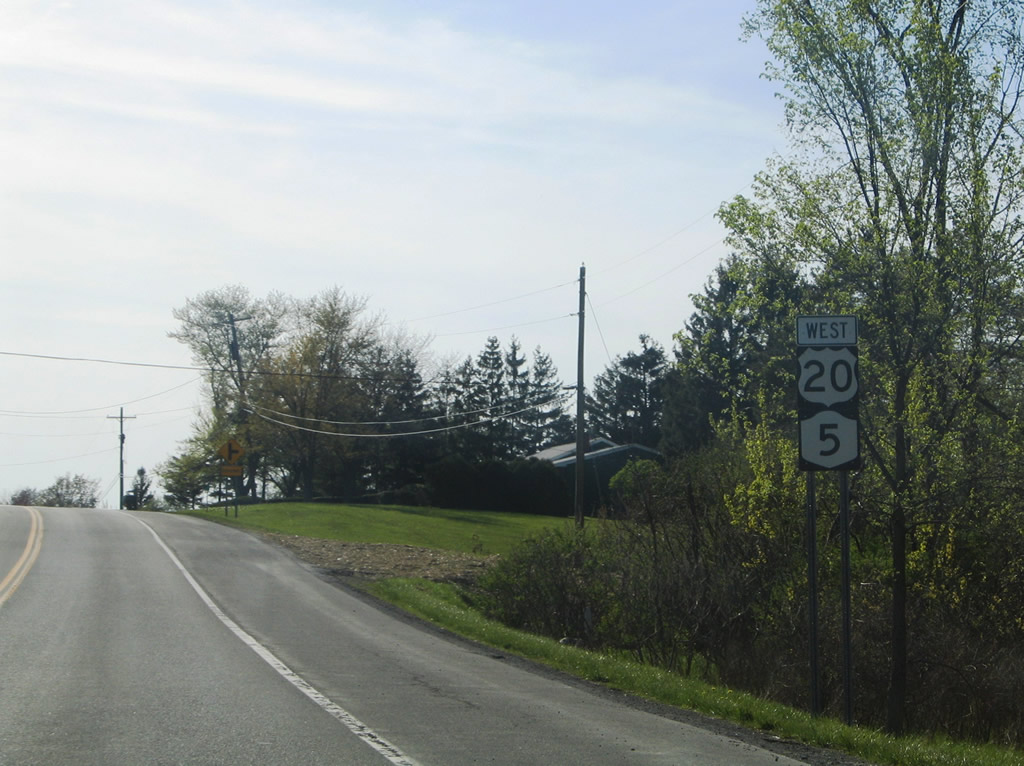
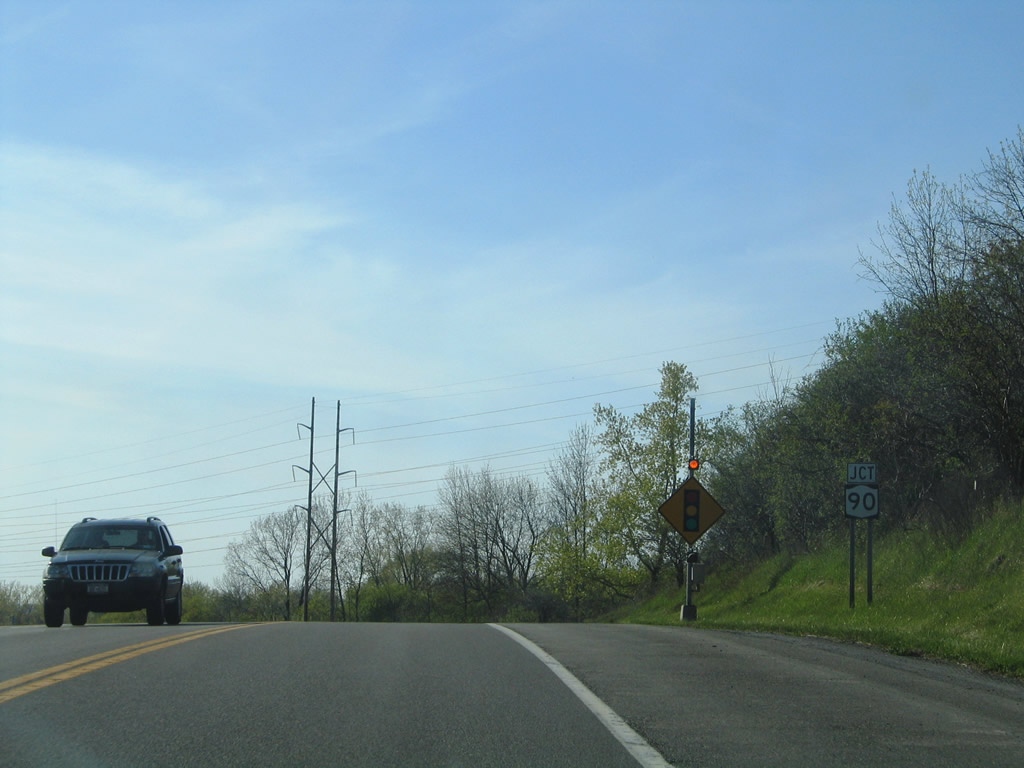
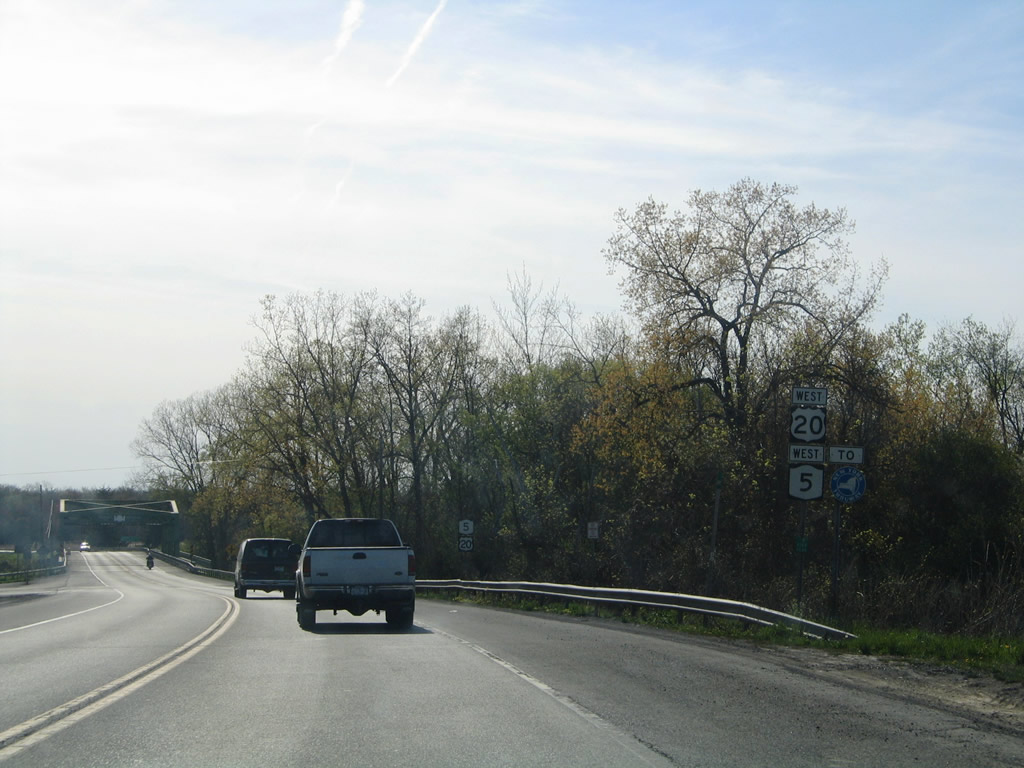
New York 90 crosses paths with U.S. 20/NY 5 west near the Seneca County line. The state route straddles Cayuga Lake southward to Cayuga, Union Springs, and Aurora. Photo taken 05/09/05. |
|
New York 90 heads three miles south to Cayuga and four miles to Montezuma and its northern terminus (New York 31). Overall the state route totals 52.95 miles between Montezuma and Cortland. Photo taken 05/09/05. |
|
A New York Thruway trailblazer joins U.S. 20/NY 5 west as the pair leave the intersection with New York 90. Photo taken 05/09/05. |
|
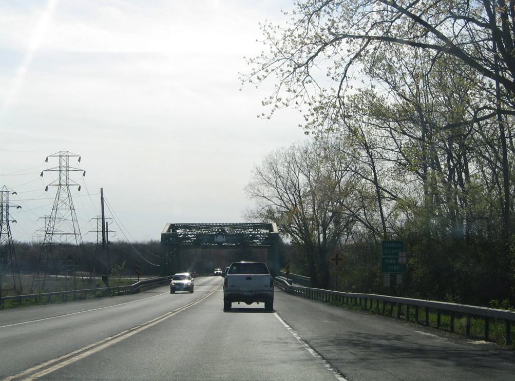
The Menard Memorial Bridge carries U.S. 20/NY 5 across the Cayuga and Seneca Canal into Seneca County and the Town of Tyre. Photo taken 05/09/05. |
Page Updated August 27, 2009.