East Sam Houston Tollway - Outer Loop
| Texas Beltway 8 north | |
|---|---|
 |
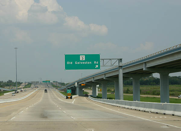
Advance signage for SH 3, Old Galveston Road. The high bridges of the IH 45/Beltway 8 south interchange frame this sign nicely. Photo taken September 7, 2006. |
 |
SH 3 is old US 75, bypassed by the construction of the Gulf Freeway in 1952. Photo taken September 7, 2006. |
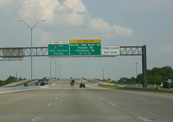 |
Advance signage for Genoa - Red Bluff Road, Preston Road and Crenshaw Road. Photo taken September 7, 2006. |
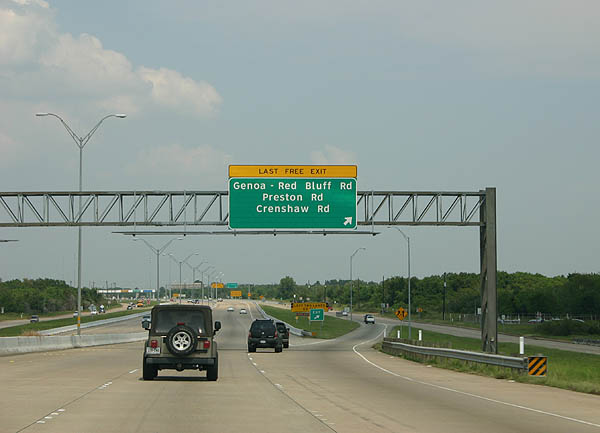 |
Red Bluff Road, Preston Road and Crenshaw Roads exit here. This is the last free exit before reentering the toll road. Photo taken September 7, 2006. |
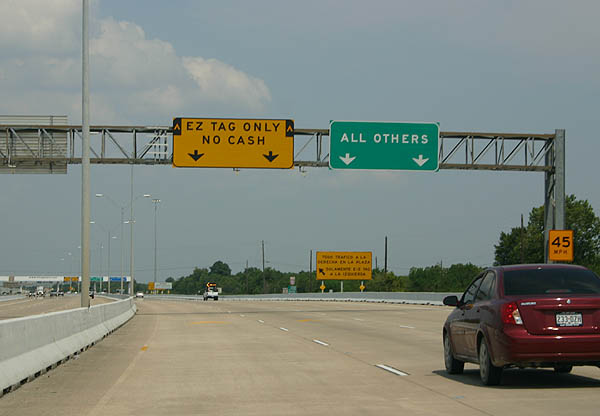 |
Immediately after the Genoa - Red Bluff exit, travelers find the next toll plaza. Photo taken September 7, 2006. |
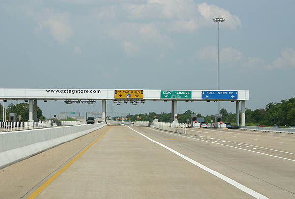 |
The southeast toll plaza has six lanes. Photo taken September 7, 2006. |
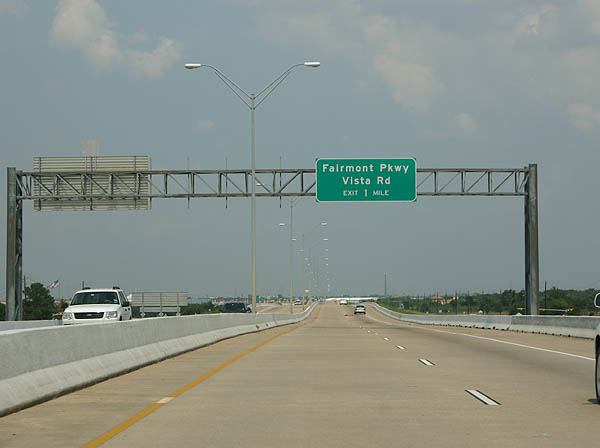 |
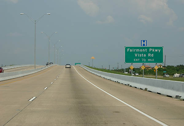
Advance signage for Fairmont Parkway and Vista Road. Photo taken September 7, 2006. |
 |
The Sam Houston Tollway keeps a four lane configuration as it passes through Pasadena. Photo taken September 7, 2006. |
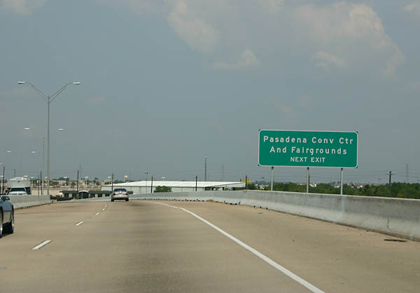 |
Use Fairmont Parkway to reach the Pasadena Convention Center. Photo taken September 7, 2006. |
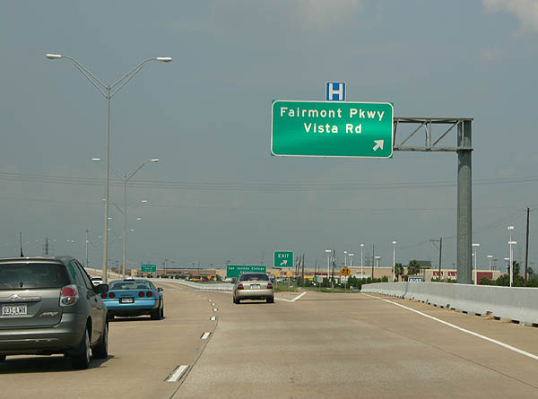 |
Fairmont Parkway and Vista Road exit here. Fairmont Parkway was once considered as a freeway corridor, but plans are dormant due to sparse development. Photo taken September 7, 2006. |
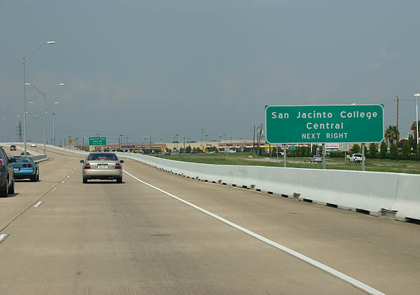 |
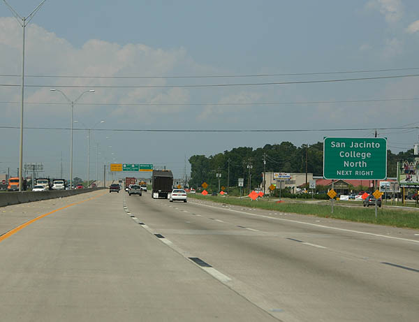
Use the next exit to reach the primary (central) campus of San Jacinto College. Photo taken September 7, 2006. |
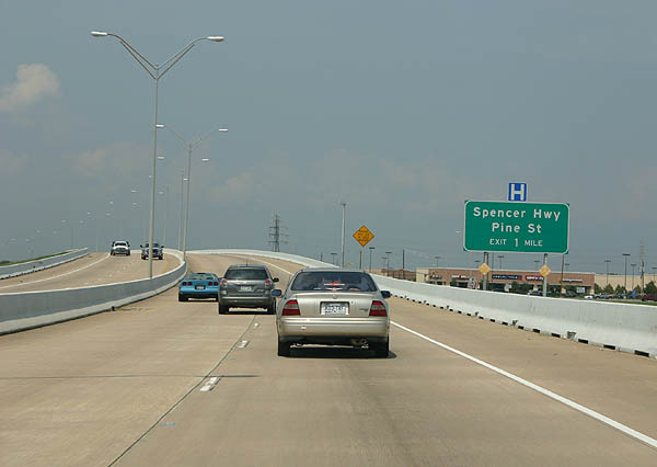 |
The next exit serves Spencer Highway and Pine Street. Spencer Highway comprises an east-west commercial arterial through Pasadena and the Golden Acres community. Photo taken September 7, 2006. |
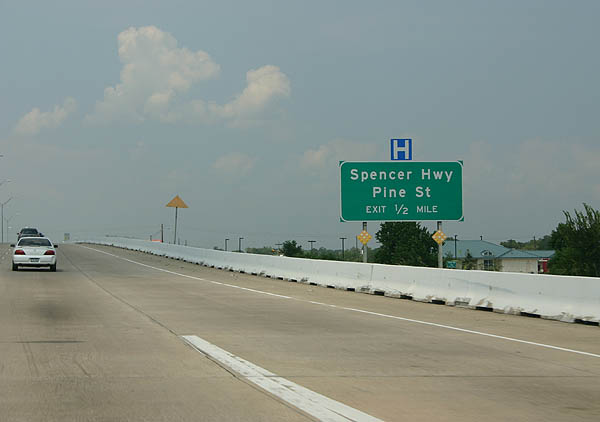 |
One half mile south of the diamond interchange with Spencer Highway. Spencer Highway ventures east to La Porte and west to South Houston. Photo taken September 7, 2006. |
 |
The Spencer Avenue off-ramp joins the frontage road ahead of Spencer Highway. Beltway 8's frontage roads continue north to Pine Street, an east-west residential road between Jana Lane and Preston Street. Photo taken September 7, 2006. |
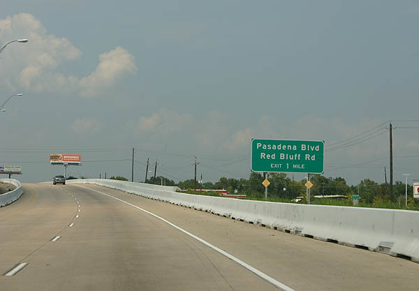 |
Pasadena Boulevard and Red Bluff Road, surface arterials near the Pasadena and Deer Park city line, cross paths at a split-diamond interchange with Texas Beltway 8. Photo taken September 7, 2006. |
 |
Interests to the north Pasadena residential roads of Ramsey Drive west, St. Augustine Avenue east, and Greenshadow Drive should use the frontage roads north from Red Bluff Road. Photo taken September 7, 2006. |
 |
One half mile ahead of the Pasadena Boulevard off-ramp on Beltway 8. Pasadena Boulevard arcs northwest to Pasadena Town Square, meeting Red Bluff Road again at its north end near Texas 288 (Pasadena Freeway). The boulevard east continues through Deer Park to L Street at Underwood Road in La Porte. Photo taken September 7, 2006. |
 |
A warning sign advises northbound motorists of closures along the Texas Beltway 8 Jesse H. Jones Memorial Bridge over the Houston Ship Channel. When the span is closed, drivers must take Texas 288 (Pasadena Freeway) to alternate crossings. Photo taken September 7, 2006. |
 |
Northbound Texas Beltway 8 at the ramp departure to Pasadena Boulevard and Red Bluff Road. Red Bluff Road angles southeast through Pasadena to Texas 146 and Galveston Bay; northward the road continues to a roundabout at Shaver Street south of the Washburn Tunnel. Photo taken September 7, 2006. |
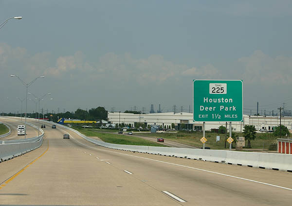 |
Next in line for northbound motorists is the volleyball type interchange with Texas 225, an east-west freeway joining Interstate 610 (East Loop) with Texas 146. Frontage roads facilitate the movements between the two limited access highways in an otherwise diamond interchange configuration. Photo taken September 7, 2006. |
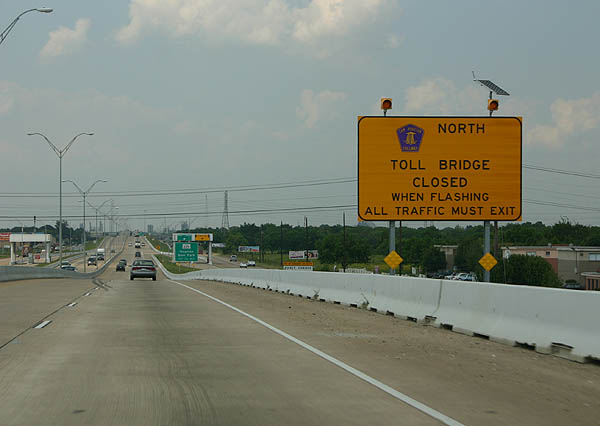 |
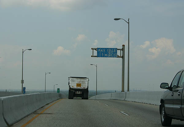
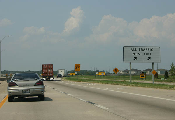
A second sign warns motorists of bridge closures along the Texas Beltway 8 Houston Ship Canal Bridge. Passenger vehicles are levied a $2.00 toll ($1.50 for EZTag holders) to cross the span. Photo taken September 7, 2006. |
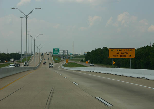 |
Commercial trucks that are considered wide loads must exit for the Pasadena Freeway in lieu of the narrow lanes across the Houston Ship Canal along Texas 8 Beltway north. Photo taken September 7, 2006. |
 |
Northbound Beltway 8 at the Texas 288 (Pasadena Freeway) off-ramp. Texas 288 joins the Sam Houston Tollway with Interstate 610 in east Houston to the west and Texas 146 at La Porte to the east. Photo taken September 7, 2006. |
 |
Approaching the Jesse Jones Memorial Bridge on Texas Beltway 8 north. The arched span was constructed between 1980 and 1982 at a cost of $60-million.1 Photo taken September 7, 2006. |
 |
High winds are sometimes an issue on the Texas Beltway 8 bridge over the Houston Ship Channel. During high wind events, motorists are alerted with a series of warning signs and flashing lights. If winds are too strong, the span is closed. Photo taken September 7, 2006. |
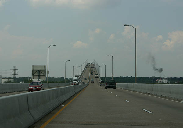 |
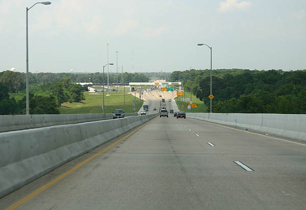
Ascending to cross over the ship channel below on Texas Beltway 8. The bridge design is reminiscent of Interstate 210's span over Lake Charles of California 92 over San Francisco Bay (San Mateo Bridge).Photo taken September 7, 2006. |
 |
 |
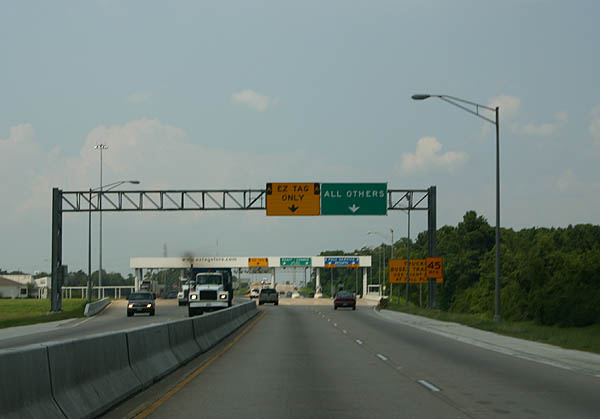
A Harris County Toll Authority main line toll plaza resides along Texas Beltway 8 north of the bridge descent. Photos taken September 7, 2006. |
 |
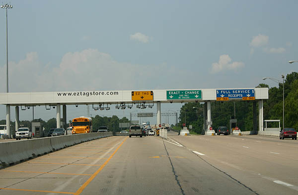 |
A modest toll plaza collects fees from drivers in both directions of Texas Beltway 8 near the Jesse Jones Memorial Bridge. A lone EZ Tag lane allows account holders unimpeded passage through the toll barrier. Photos taken September 7, 2006. |
 |
Continuing north, Texas Beltway 8 enters unincorporated Harris County on the approach to IH 10. An elaborate stack interchange joins the two freeways near Cloverleaf and Channelview. Photo taken September 7, 2006. |
 |
All traffic bound for Interstate 10 departs in unison from Texas Beltway 8. Interstate 10 heads seven miles west to IH 610 (East Loop) ahead of downtown Houston. Eastward travelers continue nine miles to Baytown on the drive to Beaumont and Lake Charles, Louisiana. Photo taken September 7, 2006. |
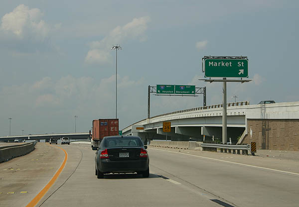 |
Sandwiched within the maze of flyover ramps is the Market Street off-ramp from Texas Beltway 8 north. Market Street was more or less replaced by Interstate 10 through Cloverleaf and acts as the frontage road otherwise. Eastward, Market Street emerges from the freeway's shadow en route to Channelview. Photo taken September 7, 2006. |
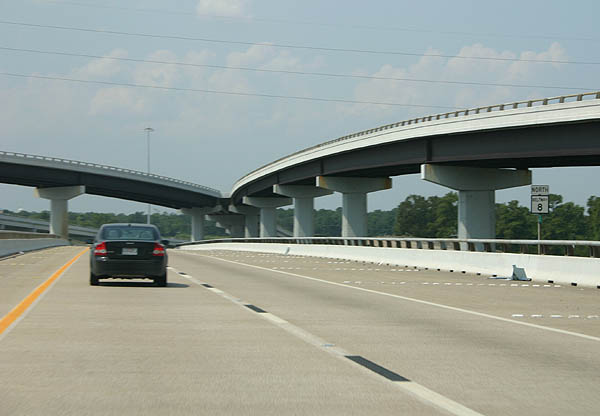 |
Beltway 8 reassurance marker posted within the stack interchange at Interstate 10. Photo taken September 7, 2006. |
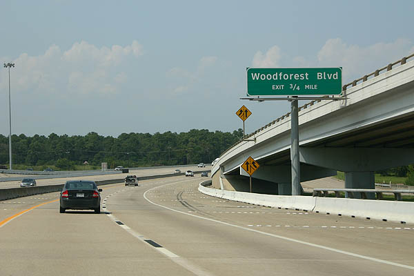 |
Northbound travelers next meet Woodforest Boulevard in unincorporated suburbs a short distance from the Houston city limits. Woodforest Boulevard comprises an east-west arterial between Sheldon Road and Maxey Road. Photo taken September 7, 2006. |
 |
Nearing the Woodforest Boulevard diamond interchange on Texas Beltway 8 (Sam Houston Parkway) north. Woodforest Boulevard west ends near Herman Brown Park in the North Shore section of Houston. Photo taken September 7, 2006. |
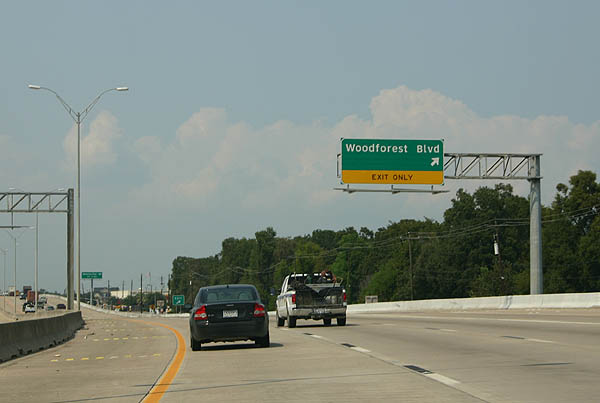 |
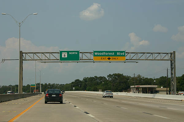
The Woodforest Boulevard off-ramp leaves Texas Beltway 8 north. Woodforest Boulevard serves a bevy of subdivisions both east and west of the Sam Houston Parkway. Photo taken September 7, 2006. |
 |
Wallisville Road crosses paths with Texas Beltway near the San Jacinto College North campus at Uvalde Road. Photo taken September 14, 2005. |
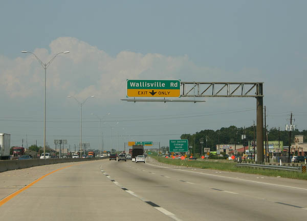 |
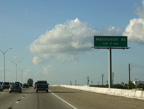
The right-hand lane defaults onto the Wallisville Road off-ramp from Texas Beltway 8 north. Wallisville Road heads east from the freeway through new subdivisions to an industrial area at Sheldon Dezavalla Road. Photo taken September 7, 2006. |
 |
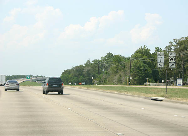
Westward, Wallisville Road reaches the aforementioned San Jacinto College North campus at Uvalde Road, a north-south arterial between U.S. 90 and Interstate 10 / Market Street. Photo taken September 7, 2006. |
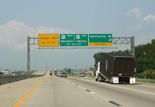 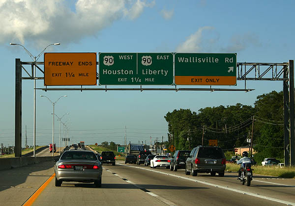 |
Texas Beltway 8 northbound at the Wallisville Road ramp departure, 1.25 miles south of its premature freeway end at U.S. 90 (Crosby Freeway east / Beaumont Highway west). Wallisville Road continues west from Sam Houston Parkway to the North Shore and Plesantville neighborhoods of northeast Houston. Photos taken September 7, 2006 and September 14, 2005. |
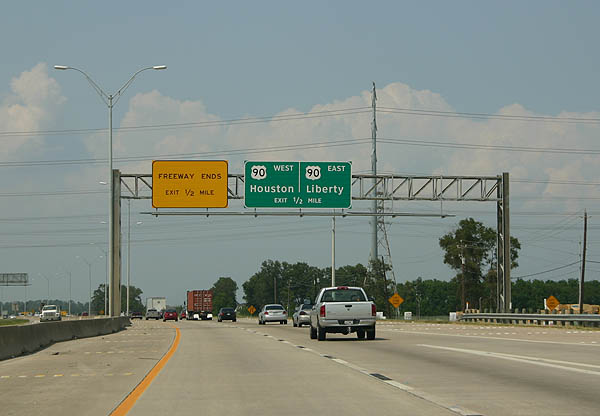 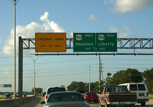 |
All traffic defaults onto the adjacent frontage roads ahead of U.S. 90 (Crosby Freeway). The forthcoming interchange is only partially built as the Crosby Freeway also prematurely ends west of Sam Houston Parkway. U.S. 90 follows the Crosby Freeway east to Sheldon, Barrett, and Crosby otherwise. Photos taken September 7, 2006 and September 14, 2005. |
 |
Northbound drivers arrive at the frontage road off-ramp ahead of the U.S. 90 (Crosby Freeway) frontage roads. Photo taken September 7, 2006. |
 |
Texas Beltway 8 shield posted along the Sam Houston Parkway frontage road ahead of the eastbound ramp onto the Crosby Freeway frontage road system. Photo taken September 7, 2006. |
 |
Four signalized intersections join Sam Houston Parkway with the Crosby Freeway end. U.S. 90 west joins Texas Beltway 8 north to make the connection back to its original alignment along Beaumont Highway. Although shown on some maps as under construction, the Crosby Freeway remains unconstructed between Beltway 8 and Interstates 10 & 610 in Houston. Photo taken September 7, 2006. |
 |
Texas 90 Business shield posted along U.S. 90 west & Texas Beltway 8 (Sam Houston Parkway) north. The shield should display U.S. 90 Business; a designation following Beaumont Highway eastward to Sheldon and Crosby north of the Crosby Freeway. Photo taken September 7, 2006. |
 |
The Texas Beltway 8 frontage roads pass over U.S. 90 (Beaumont Highway) at its departure from the Sam Houston Parkway. The overpasses were built to cross over the adjacent railroad line to Beaumont Highway. U.S. 90 west departs via an off-ramp to Beaumont Highway near Uvalde Road. The US highway continues along Beaumont Highway into Houmont Park and East Houston. Photo taken September 7, 2006. |
 |
A signalized intersection joins the east end of Tidwell Road with Texas Beltway 8 (Sam Houston Parkway) east of Houmont Park. A Texas U-turn ramp provides access to Beltway 8 south while Tidwell Road stems west through sprawling areas outside the Houston city limits. Photo taken September 7, 2006. |
 |
Reassurance shield posted along Sam Houston Parkway north for C.E. King Parkway near Sheldon Reservoir. Photo taken September 7, 2006. |
 |
Texas U-turn ramps exist at the intersections with C.E. King Parkway and North Lake Houston Parkway Photo taken September 7, 2006. |
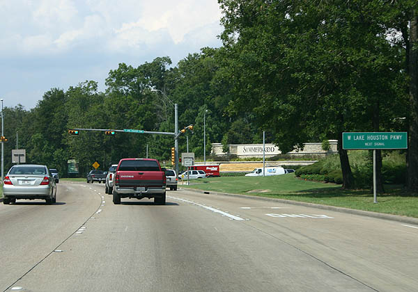 |
West Lake Houston Parkway enters the scene from Lake Houston and FM 1960 in far northeast Houston. Much of this area is fast growing with sprawling subdivisions replacing open space or forest stands. Photo taken September 7, 2006. |
Sources:


Page Updated May 19, 2008.
|
About Contact FAQ |
Spotlights Interstate Guide |
Social Media:
 |
|
© 2000-25 AARoads.com | All Rights Reserved | Privacy Policy / Terms of Use
|
||