
Sam Rayburn Tollway - Denton County
| Sam Rayburn Tollway north | |
|---|---|
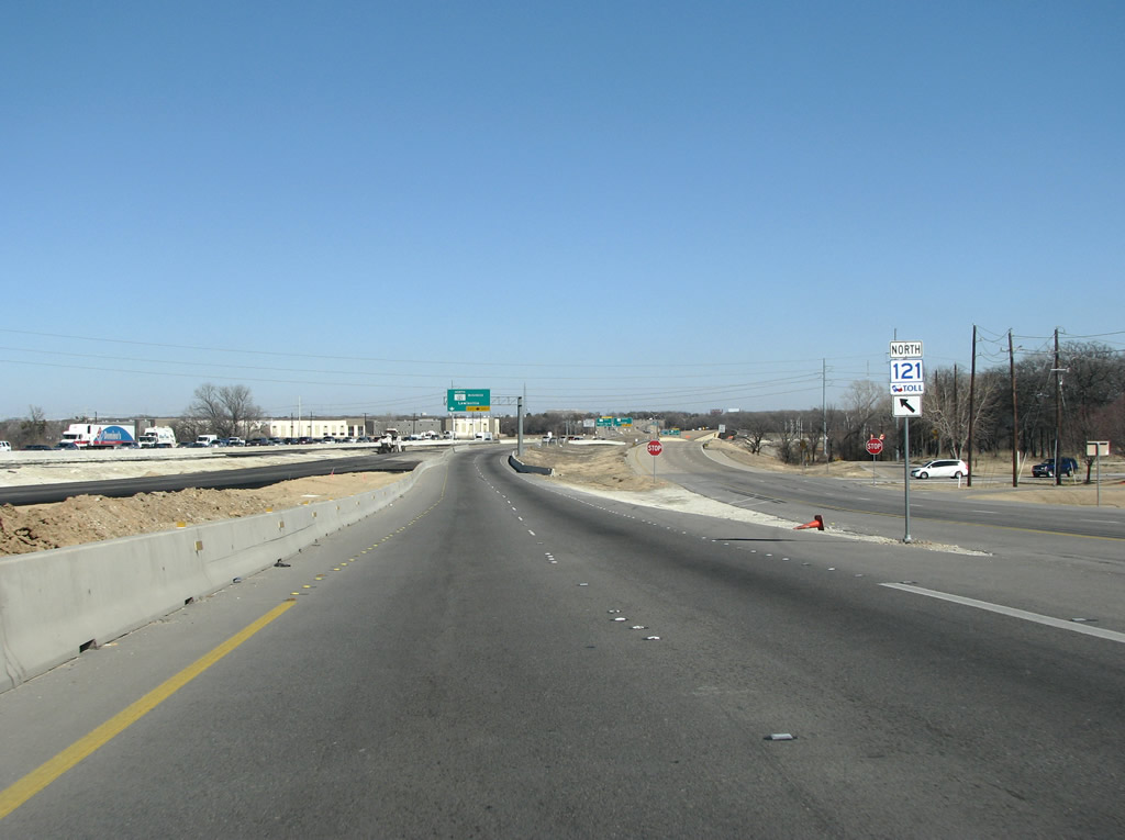 |
SH 121 splits into toll and free versions here, where the suburbs of Coppell, Grapevine, and Flower Mound meet north of DFW Airport. The free version of the state highway retains the black and white shields and is the signalized frontage road to the tollway. Freeway lanes are under construction to connect the disparate sections of roadway north of the airport. Photo taken 01/20/09. |
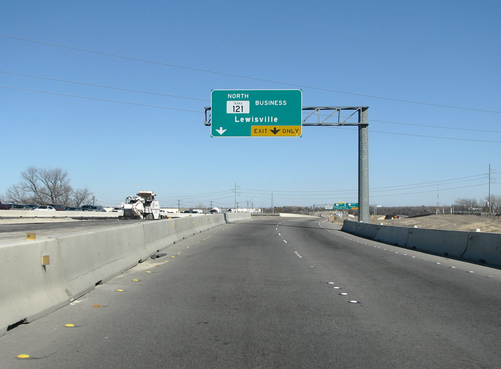 |
The first exit along the freeway portion is for SH 121 business, which is the older route of the highway through Lewisville. Photo taken 01/20/09. |
 |
SH 121 business exits here and continues north and east through Lewisville. The tolled portion of 121 begins here. This Lewisville bypass opened as frontage roads in the early 90s, and the center free flowing lanes opened in 2005. Photo taken 01/20/09. |
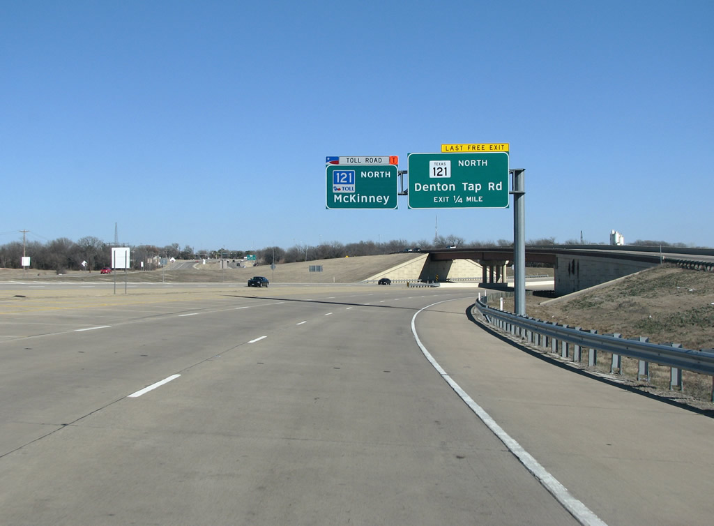 |
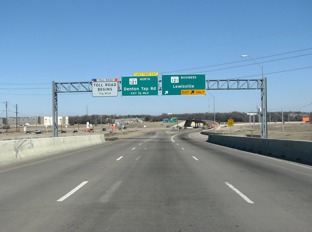
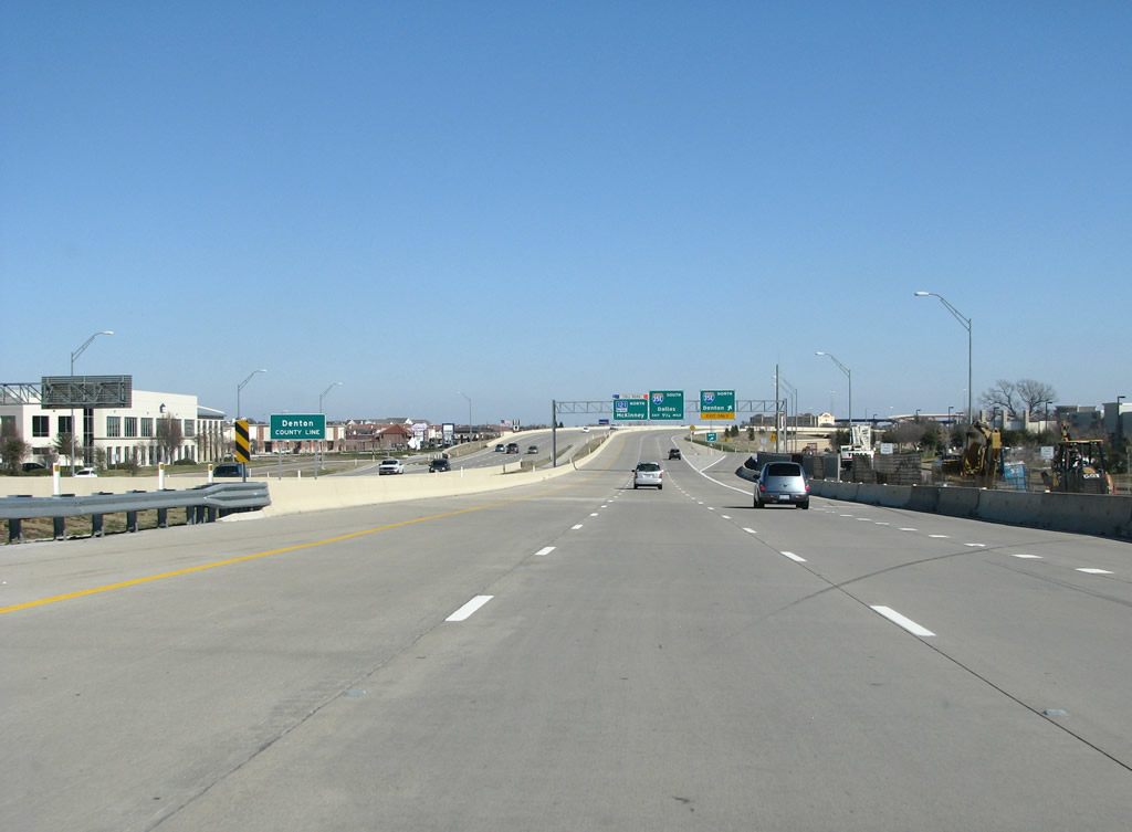
The two types of state highway are shown here. "Regular" 121 exits at Denton Tap Road to become the frontage roads. Tolled 121 continues ahead. This setup is likely confusing to drivers following directions to stay on 121, as there are two of them. Photo taken 01/20/09. |
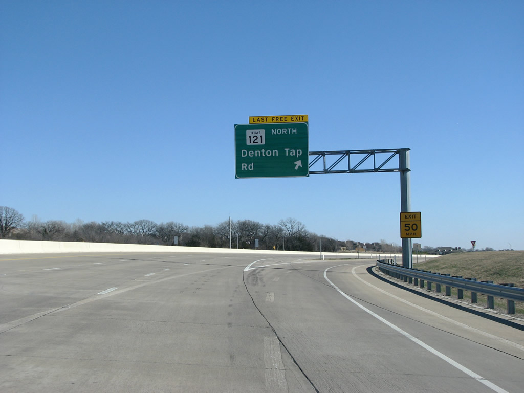 |
121 northbound at Denton Tap Road. The road is a north/south route that forms the main street through the wealthy suburb of Coppell. Photo taken 01/20/09. |
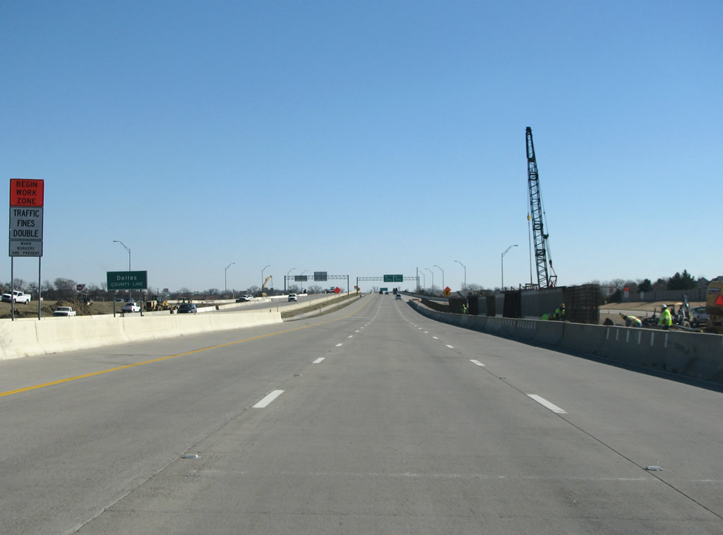 |
121 enters Dallas County here as it briefly dips southward to bypass Lewisville. It re-enters Denton County quickly, however. Photo taken 01/20/09. |
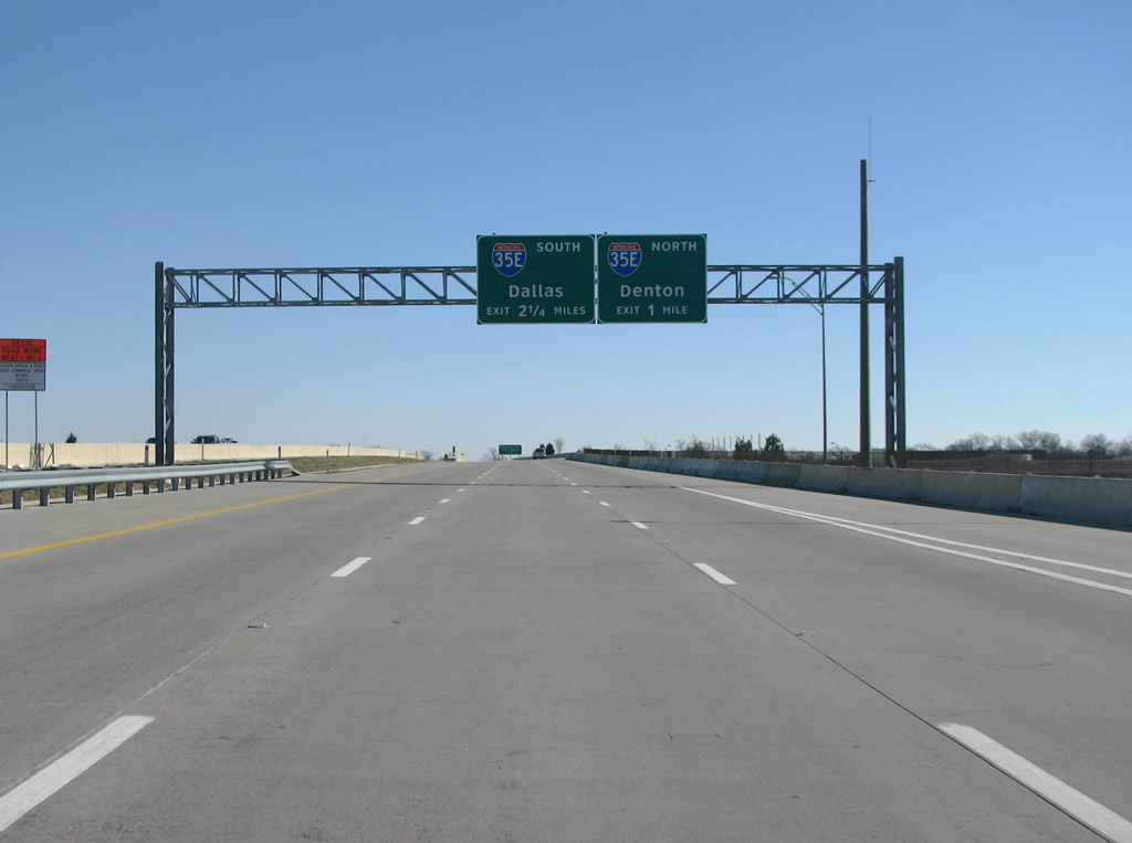 |
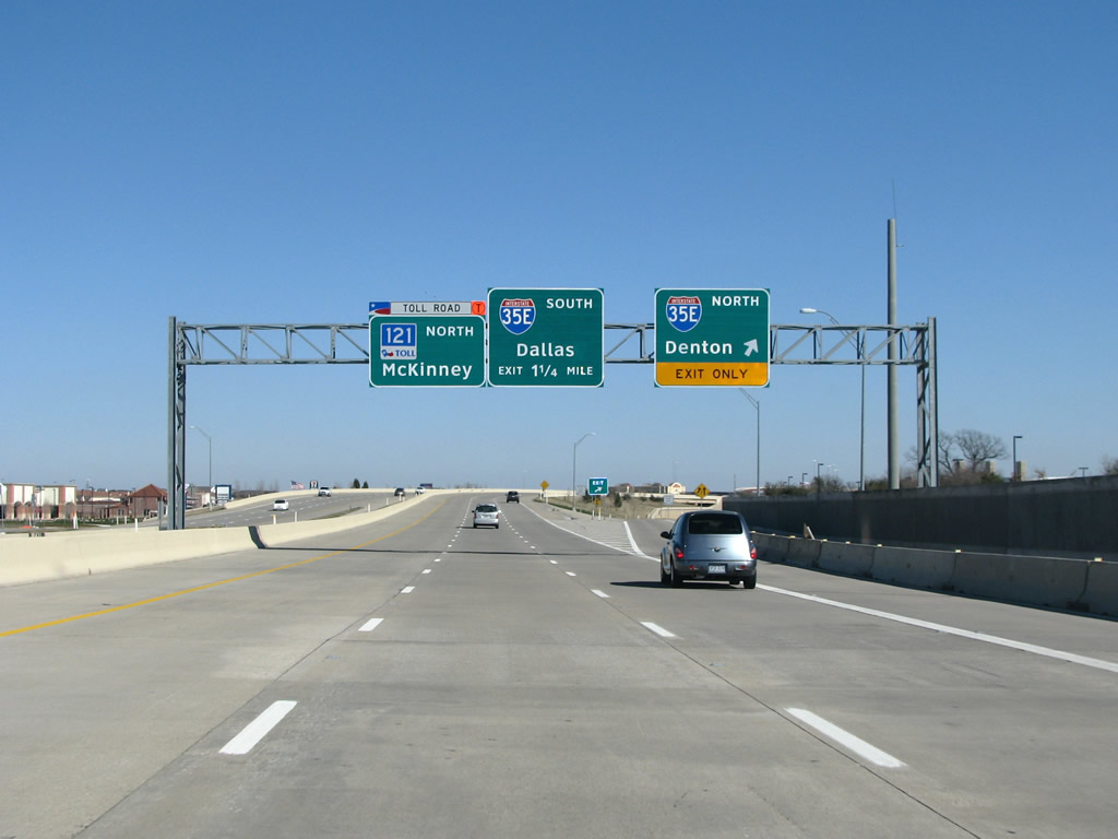
The first major northbound junction along the road is with IH 35E, Stemmons Freeway. Photo taken 01/20/09. |
 |
Through here, 121 forms the border between the suburbs of Lewisville and Coppell, both mostly filled in now as sprawl has moved further away from the center city. Photo taken 01/20/09. |
 |
Another sign for the exit from northbound 121 to northbound 35E. Photo taken 01/20/09. |
 |
Yet another northbound 35E reminder, as 121 prepares to go under it's first northbound mainline toll gantry. The toll road here is open, which means that there are no direct cash exchanges at tolling points. Signs through here used to say "do not stop, we will bill you", but have since been removed. Photo taken 01/20/09. |
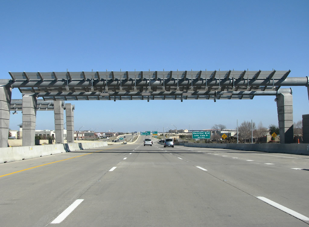 |
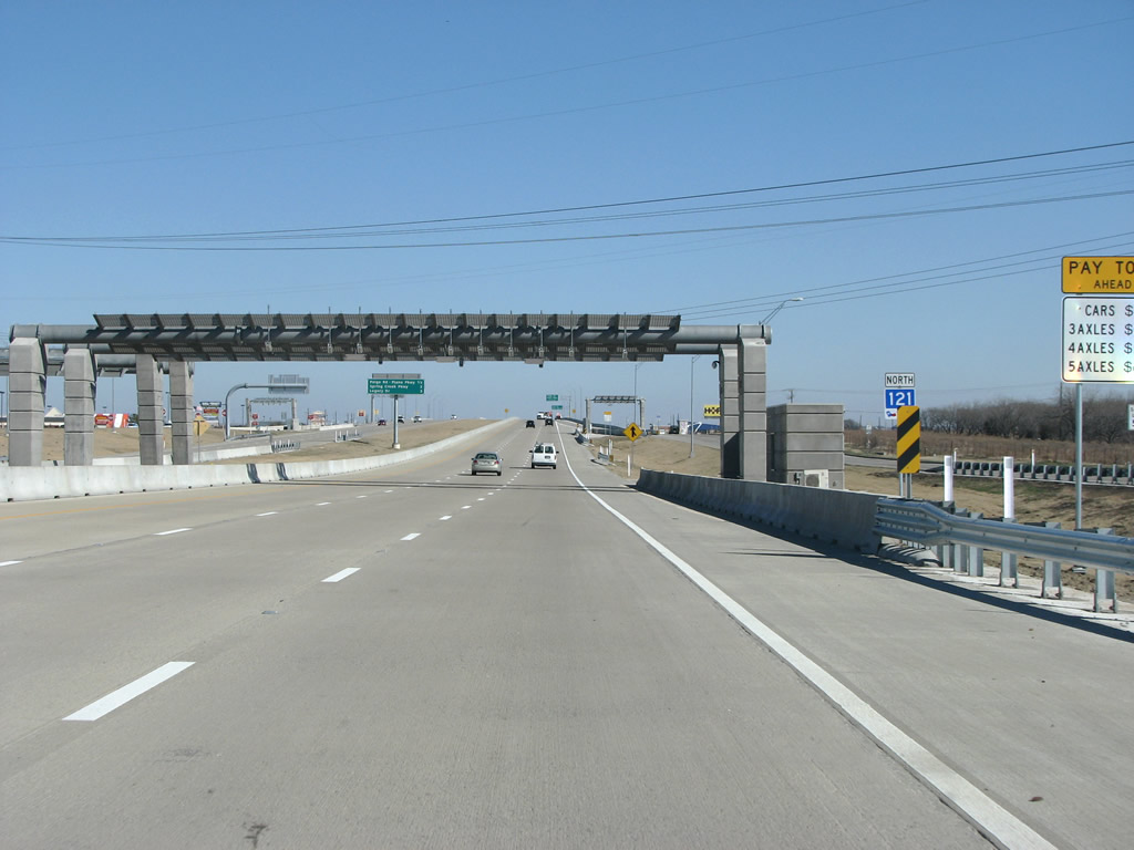
The mainline toll plaza west of IH 35E. All DFW area toll roads are switching over to these types of gantries. Photo taken 01/20/09. |
 |
 |
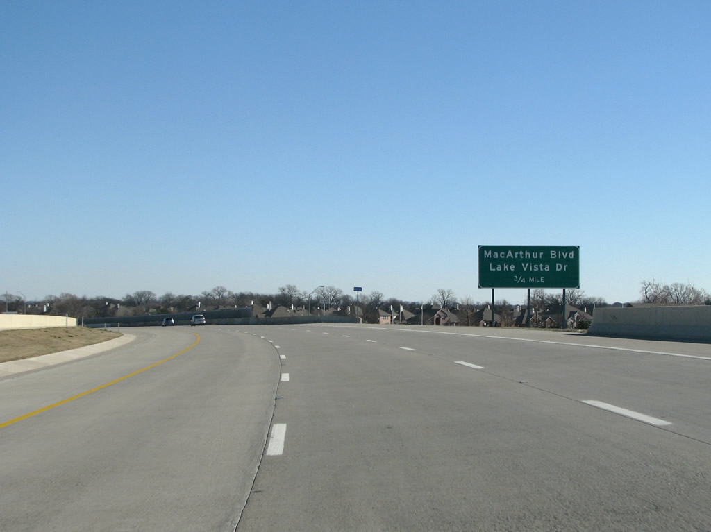
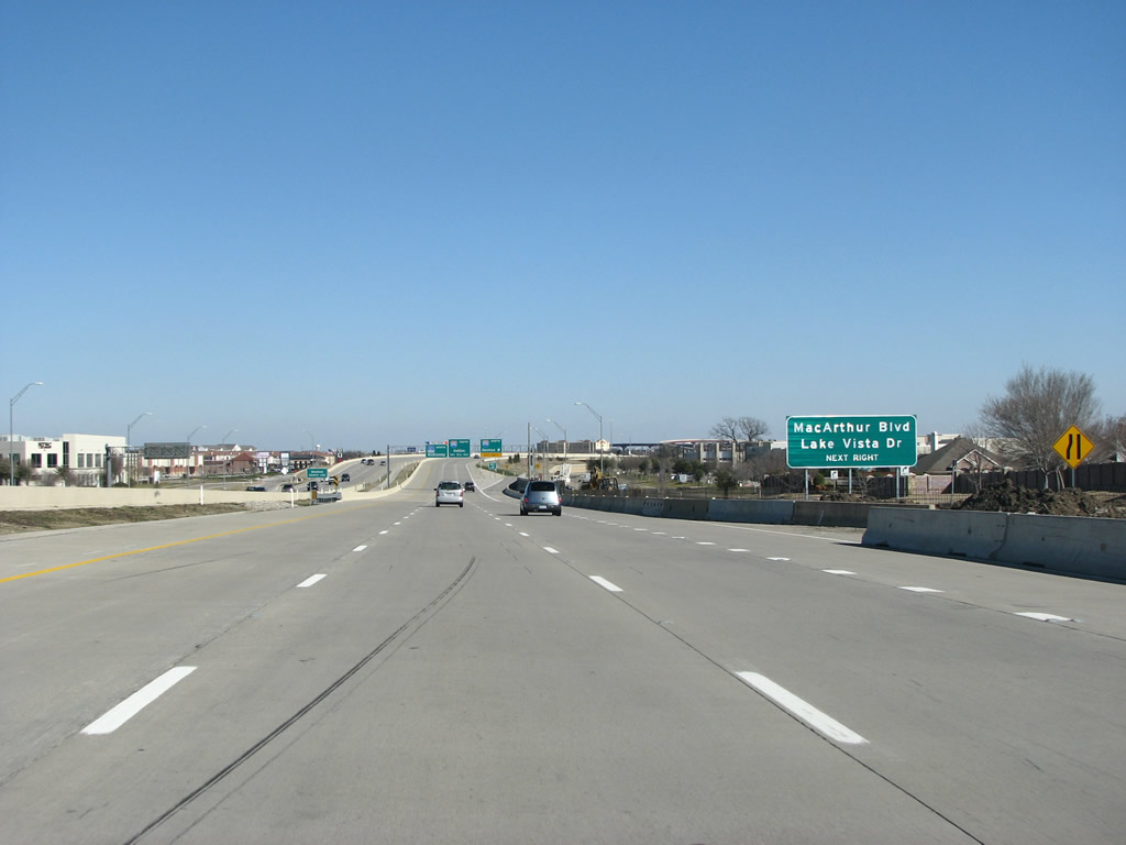
121 re-enters Denton County here and stays in it for a while. The next exit, Macarthur Boulevard is a major road through the western suburbs of Dallas. It ends just north of here, but continues south and has an interchange at IH 30 in Grand Prairie. Photos taken 01/20/09. |
 |
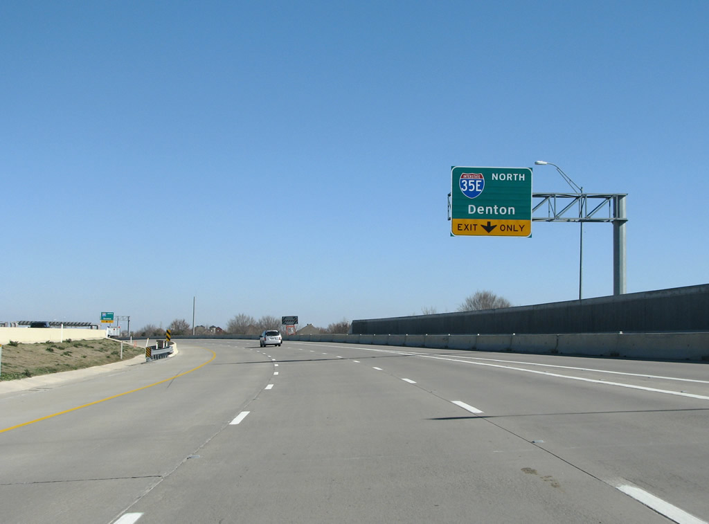
IH 35E, Stemmons Freeway, has it's northbound exit from 121 here. The junction with the interstate is incomplete, and traffic headed north from here have to sit through several lights in order to complete the change in direction. Photo taken 01/20/09. |
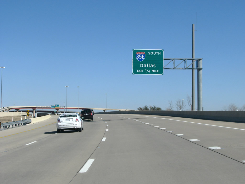 |
Unlike northbound traffic, travelers headed south into Dallas get a direct-connection to the interstate. Note the 3-digit interstate being stuffed into the 2-digit shield here, this is common in North Texas, unfortunately. Photo taken 01/20/09. |
 |
SH 121 northbound at IH 35E south. This stack has four levels and was completed in 2005. The next interchange southbound on 35E is also a stack, for the PGB Turnpike. Photo taken 01/20/09. |
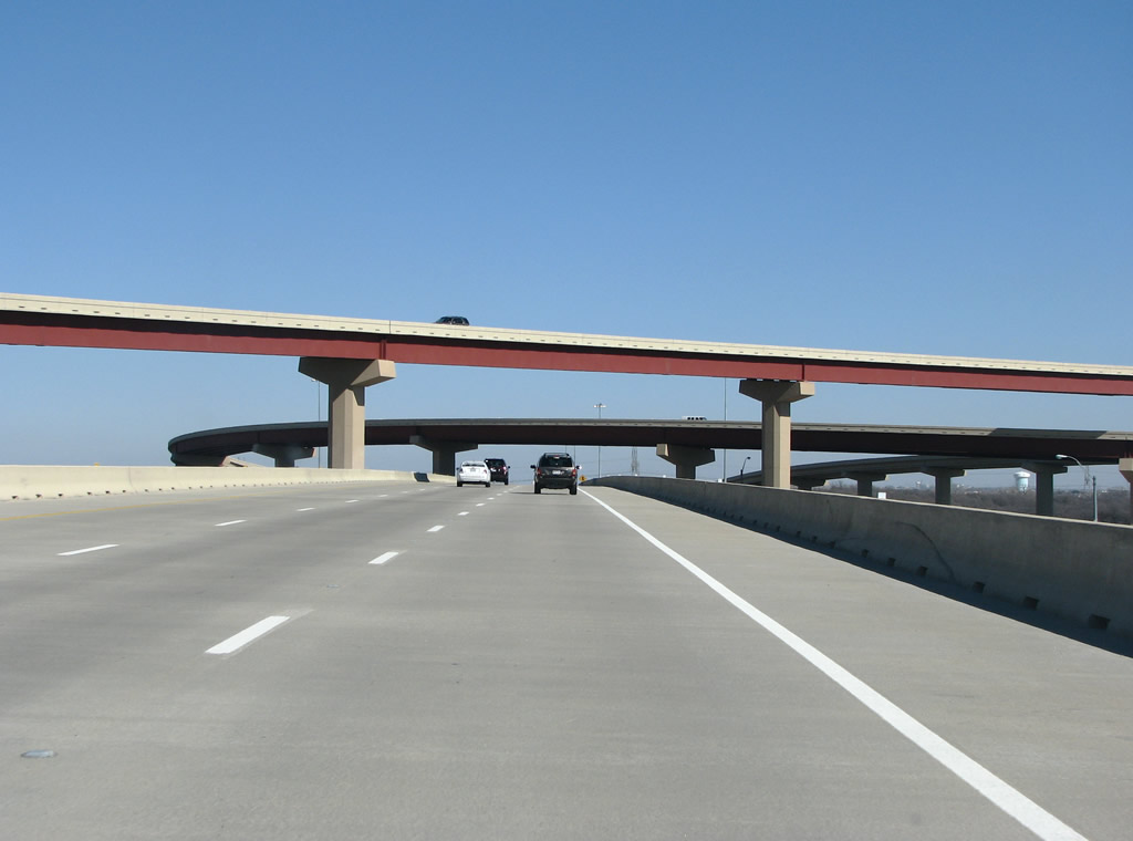 |
121 sits on the third level of the stack here, and there are good views of Stemmons Freeway to the south. Photo taken 01/20/09. |
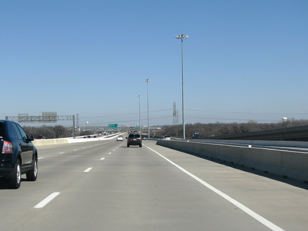 |
121 has a 1.2 mile viaduct here, which carries it over wetlands. Photo taken 01/20/09. |
 |
The first exit east of 35E is at Marchant/Huffines. The road here is free, as there are no tolls at the next few exits. This stretch of roadway was built by the state's DOT, rather than by a toll authority. Photo taken 01/20/09. |
 |
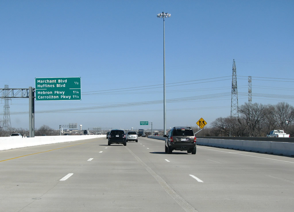
Another view northbound towards Marchant/Huffines in Lewisville. Photo taken 01/20/09. |
 |
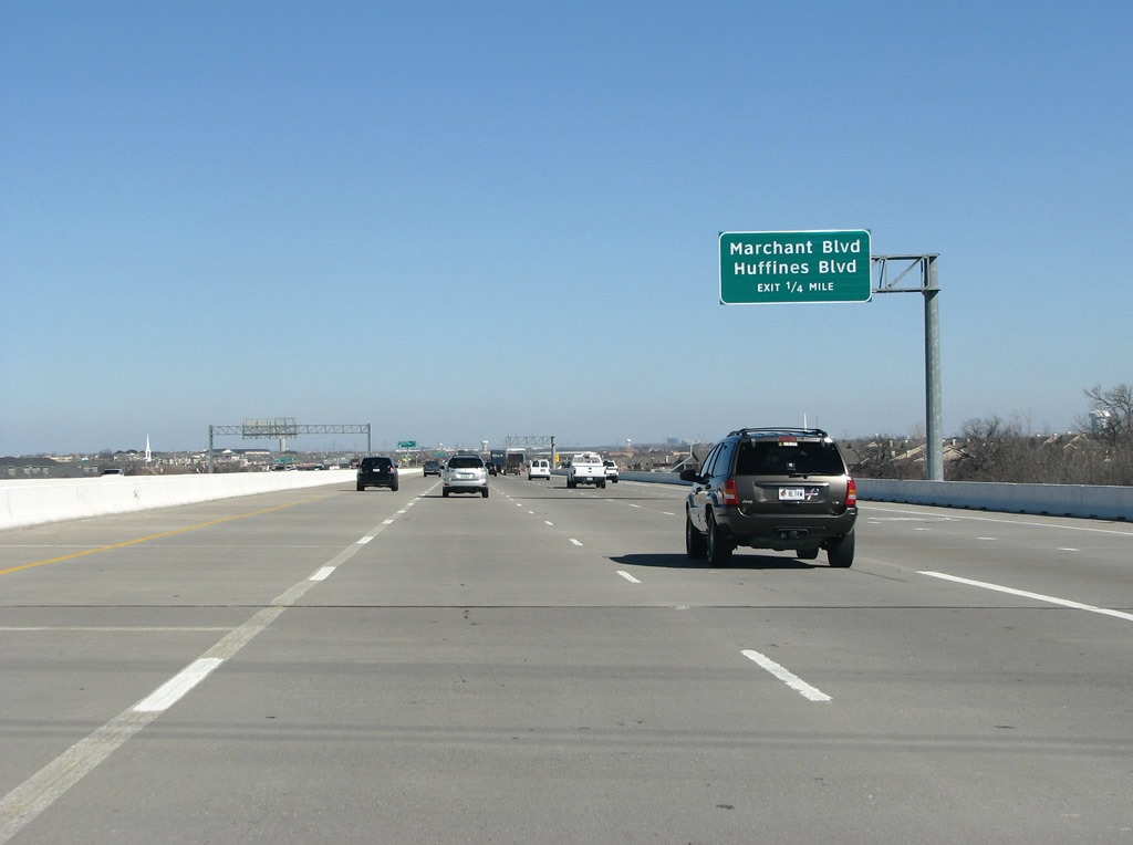
Construction removed the exit signs when this photo was taken. Marchant/Huffines is a series of short roads that connect to sprawling residential areas east of the wetlands and creeks 121 just went over. Photo taken 01/20/09. |
 |
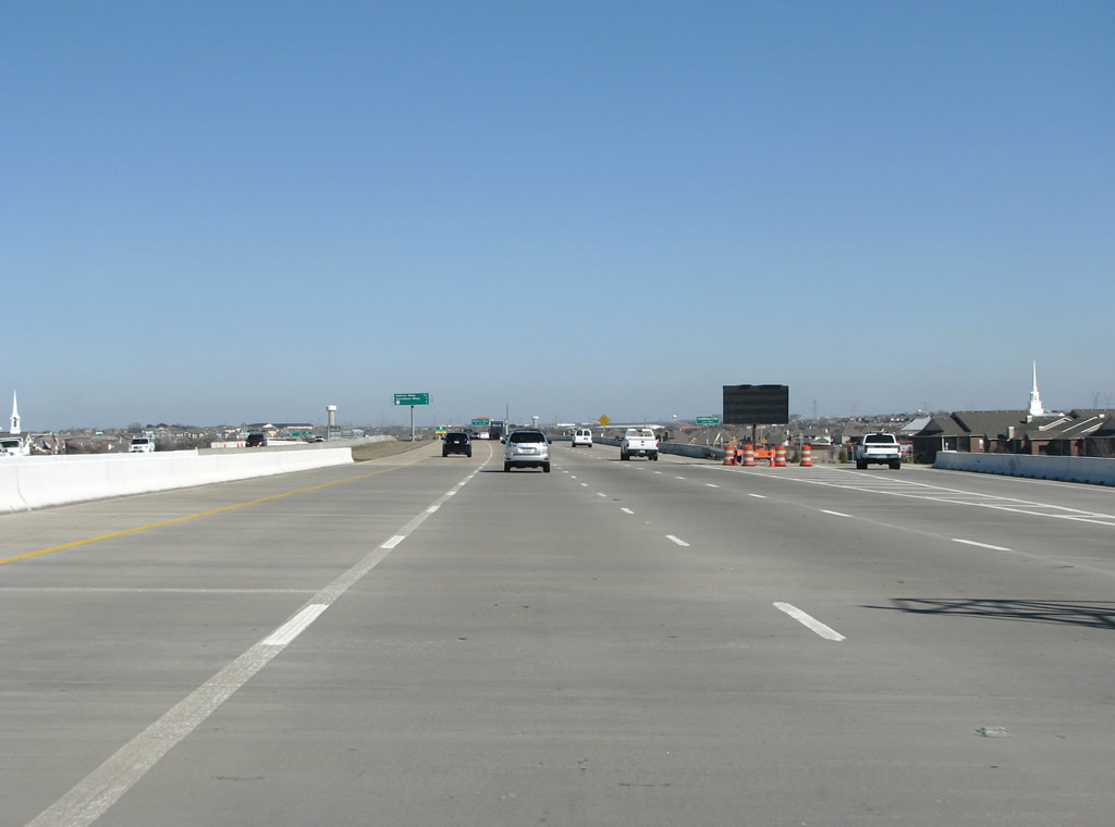
Hebron Parkway shows up here as the next exit, as 121 goes through residential areas. The road leaves Lewisville here and enters the suburb of Carrollton. Photo taken 01/20/09. |
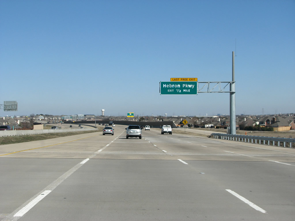 |
121 is 8 concrete lanes here, as it approaches Hebron Parkway. Photo taken 01/20/09. |
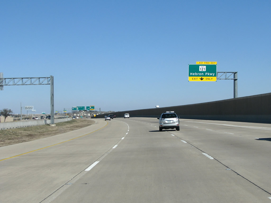 |
As with before, 121 prepares to split into a tolled and a free version, and the exit sign here points to the free version of the state highway as it exits. State law says that when there are no frontage roads available for "Free" traffic, the main route must be free. For this reason, the previous section over the wetlands has been toll free. Photo taken 01/20/09. |
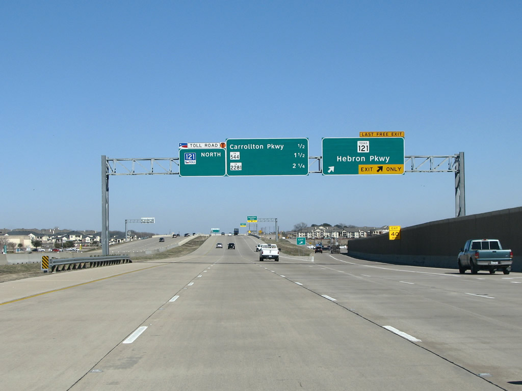 |
Hebron Parkway is a major arterial and runs west and becomes an important arterial route through Plano and has a junction at US 75 (as Park Boulevard). Photo taken 01/20/09. |
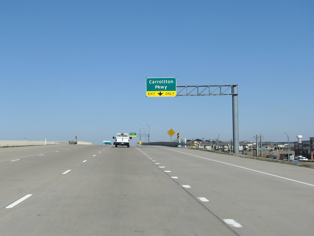 |
Carrollton Parkway is approaching rapidly as the next junction. Photo taken 01/20/09. |
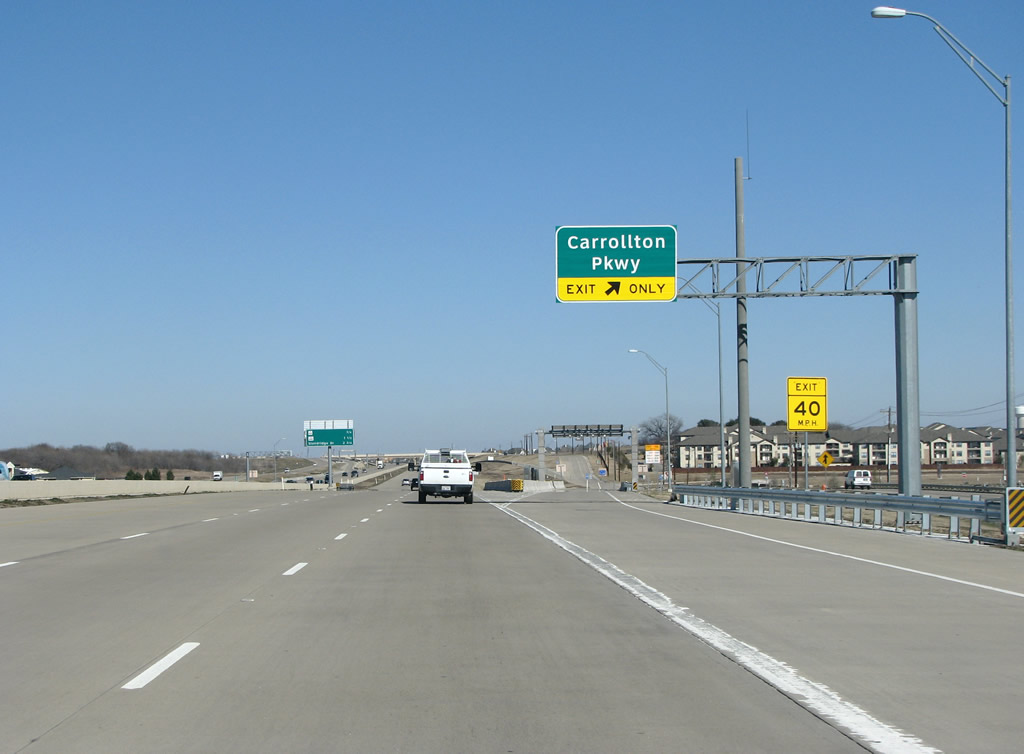 |
Carrollton Parkway opened in 2008 as a connecter route from the 121 freeway to FM 2281 just to the east. This section of the 121 freeway opened in late 2007. Photo taken 01/20/09. |
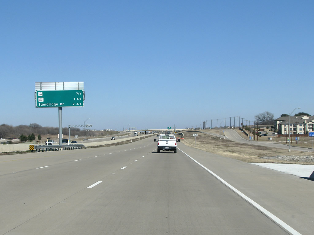 |
FM 544 comes up as the next exit as 121 continues north and east through Carrollton. Photo taken 01/20/09. |
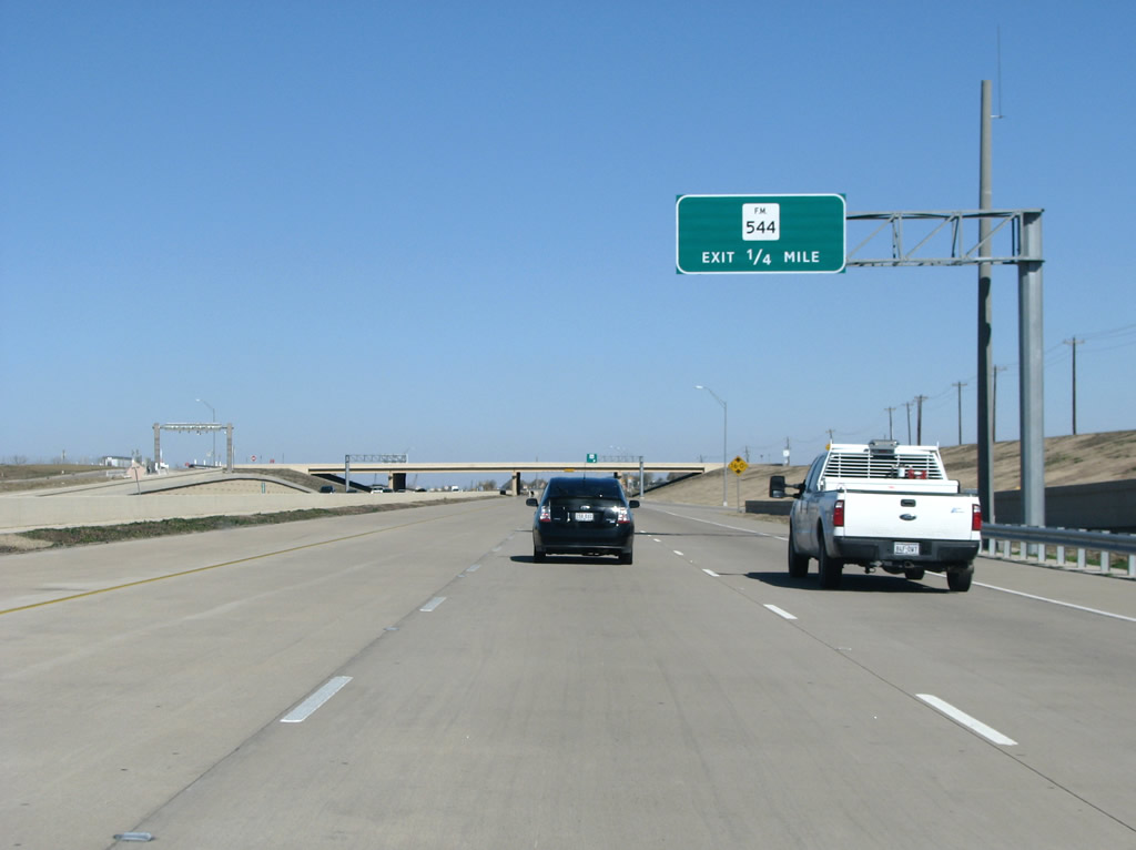 |
Another view of an upcoming FM 544 sign. The FM signs on this stretch of road are not standard, and differ from the style of FM route marker seen on other freeway signs. Photo taken 01/20/09. |
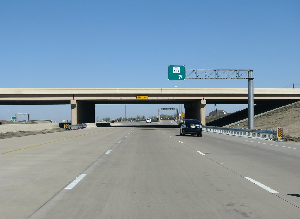 |
SH 121 northbound at FM 544. There are no control points or road names at this exit, curiously. FM 544, rarely signed, has been discontinued in pieces as it is now an arterial road rather than a rural route. East of here, 544 forms an important road (Parker Road) through the city of Plano. Photo taken 01/20/09. |
 |
Sprawl eases here, and a few fields are briefly seen on this winter's day, as 121 continues north and east. Photo taken 01/20/09. |
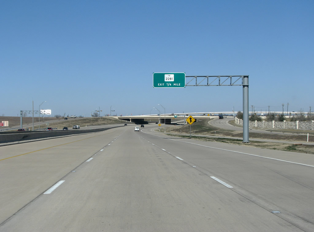 |
FM 2281, Old Denton Road, was the first route of US 77 northwest of Dallas in the 1930s. That local name is not seen here in favor of the state designation. 2281 is only 2.2 miles long, and is only signed in one place as an FM route. It is likely most drivers would benefit more from having the local name signed instead. Photo taken 01/20/09. |
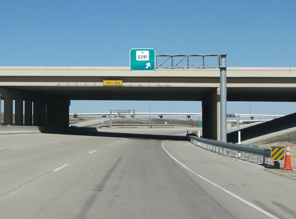 |
SH 121 northbound at Old Denton Road / FM 2281. Photo taken 01/20/09. |
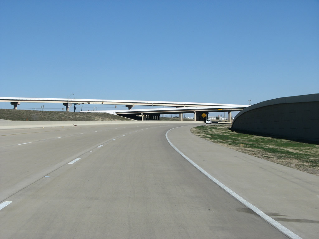 |
SH 121 meets SH 121 Business here, at that route's eastern end. There is no access to the business route from 121 northbound. Photo taken 01/20/09. |
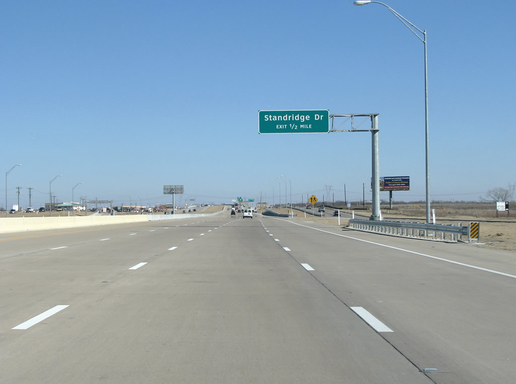 |
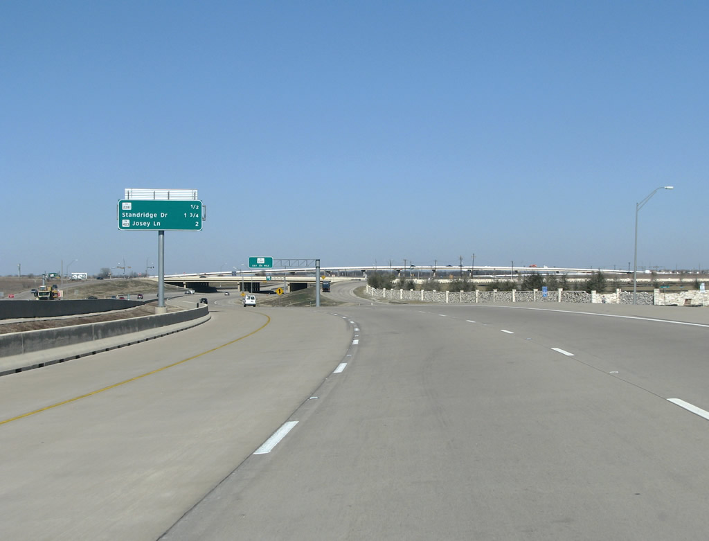
As 121 leaves Carrollton and enters the suburb of The Colony, the first exit comes at Standridge Dr. Photo taken 01/20/09. |
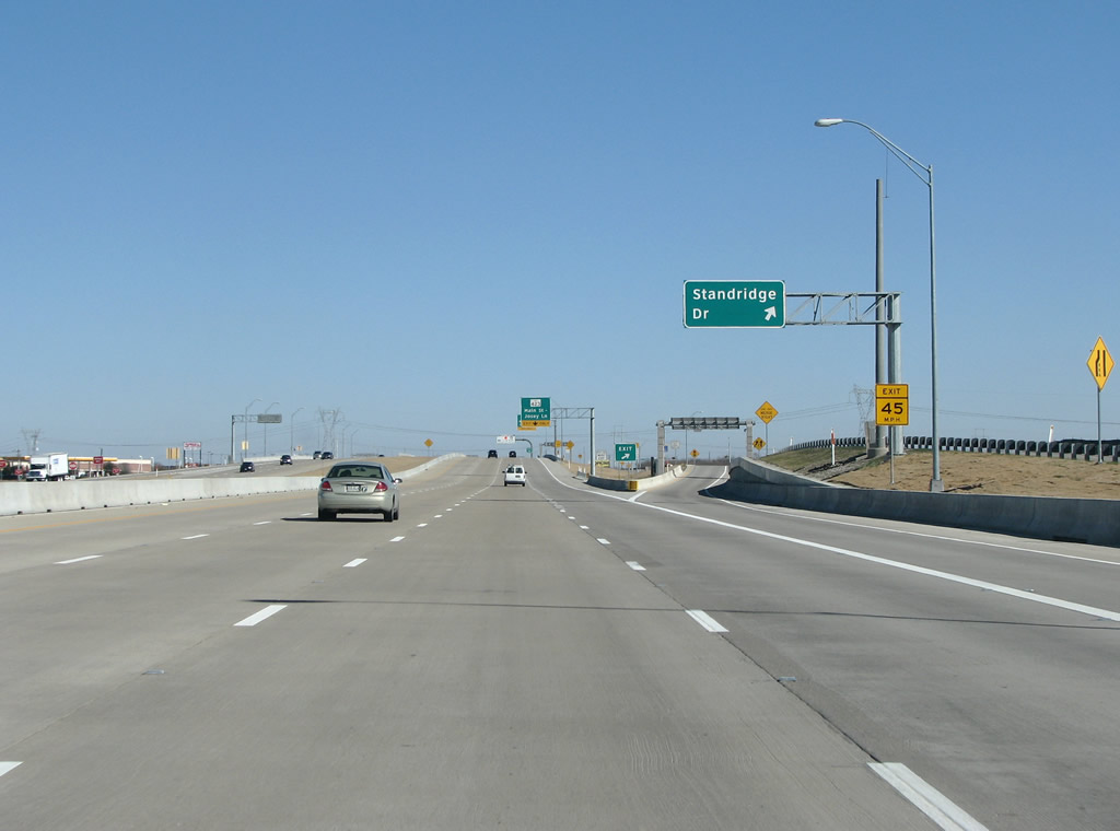 |
Standridge Dr runs north from 121 briefly into the suburban area of The Colony. Photo taken 01/20/09. |
 |
The Colony was built from farm fields in 1969 as a venture of Fox and Jacobs homes. Before that, there was no town here. When the city incorporated in 1976, the name "Colony" was already taken in the state, so a "The" was added to distinguish it. Photo taken 01/20/09. |
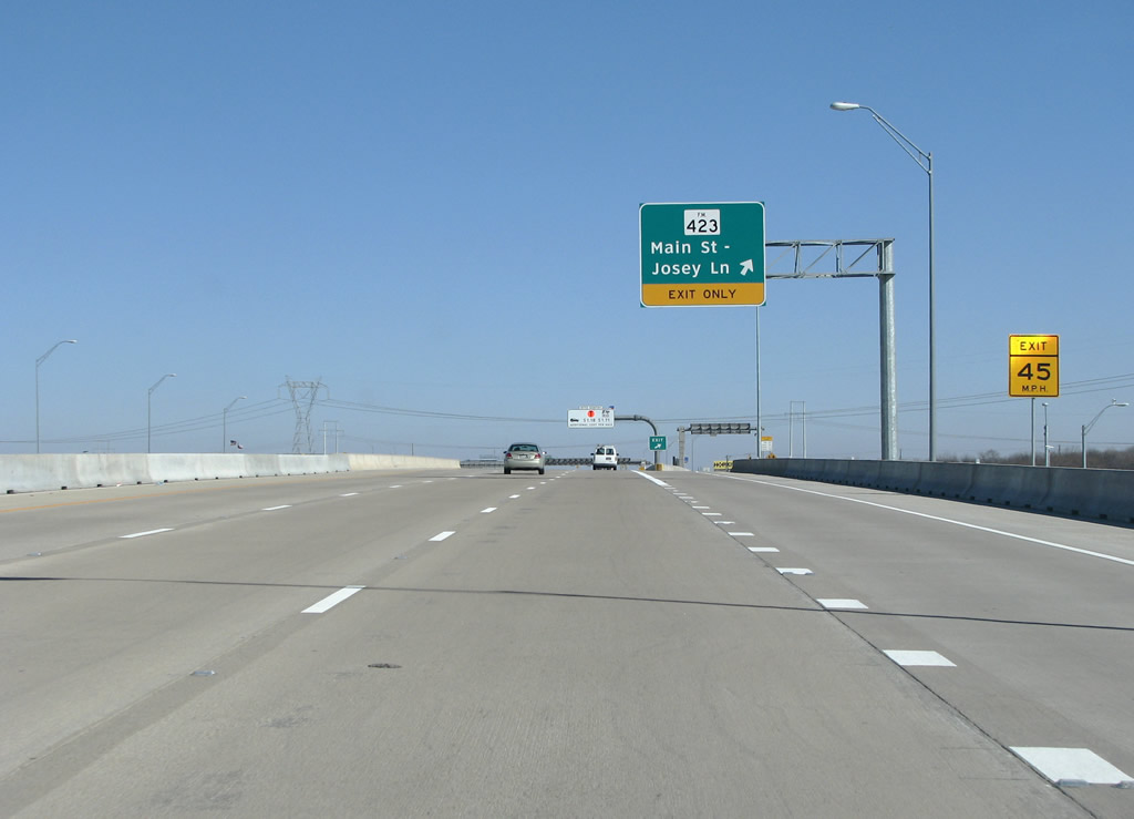 |
FM 423 has its southbound end here, and continues north to US 380 from here. While it is called Main Street through The Colony, there is no downtown area or central business district. Photo taken 01/20/09. |
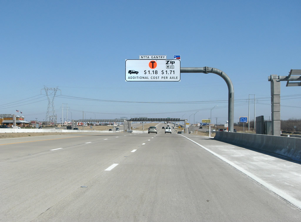 |
This portion of 121 opened in August 2008, and is operated by regional toll authority NTTA. The NTTA won the right to manage the road from a Spanish consortium, and, possibly in a show of spite, put their acronym on everything. This next "NTTA Gantry" sign as an example of that. Photo taken 01/20/09. |
 |
This is the main toll gantry in The Colony, this view also shows a partially hidden reassurance marker. Photo taken 01/20/09. |
 |
Paige Road/Plano Parkway is the next exit and the last one in The Colony. Photo taken 01/20/09. |
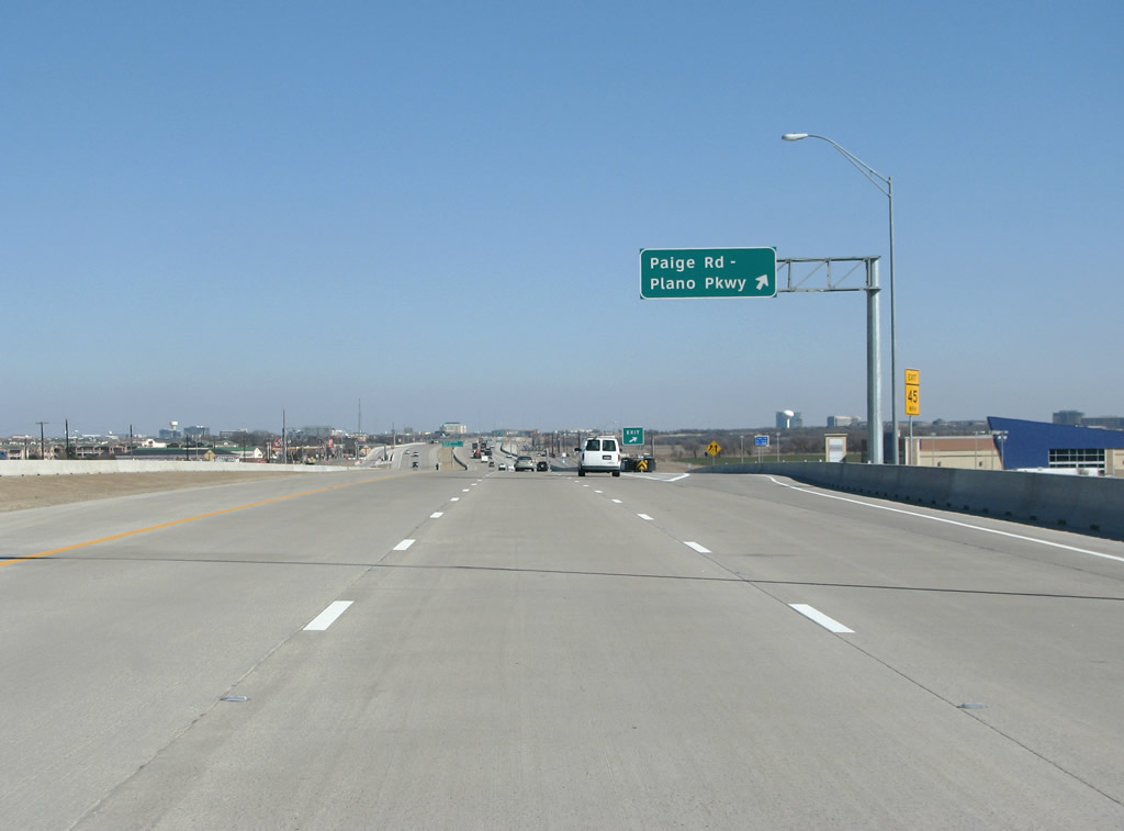 |
SH 121 northbound at Paige/Plano. Plano Parkway runs south and east through Plano and connects that city's separated commercial and industrial areas. Photo taken 01/20/09. |
 |
121 begins forming the border of the suburbs of Plano (to the south) and Frisco (to the north) here. Photo taken 01/20/09. |
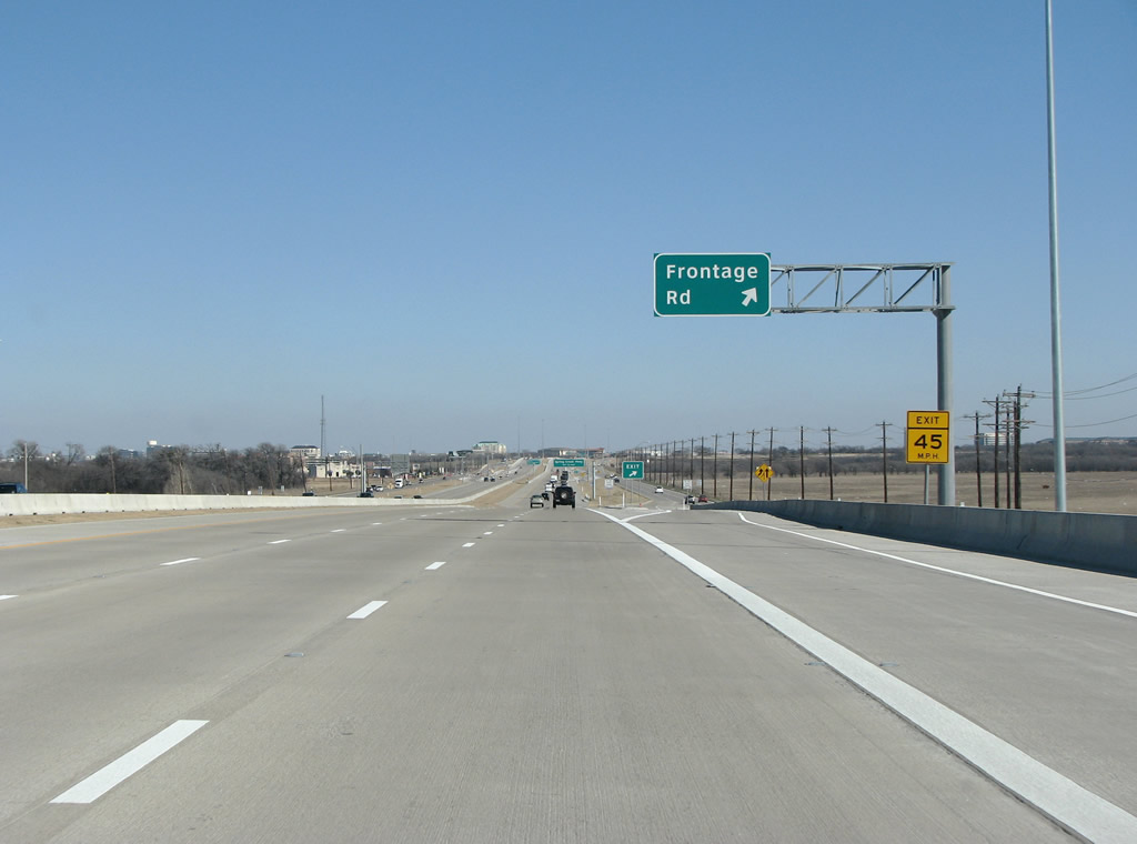 |
A random Frontage Road exit sits here as the roadway enters Plano/Frisco and Collin County. Photo taken 01/20/09. |


Page Updated February 4, 2009.
|
About Contact FAQ |
Spotlights Interstate Guide |
Social Media:
 |
|
© 2000-25 AARoads.com | All Rights Reserved | Privacy Policy / Terms of Use
|
||