
U.S. Highway 77 North (Victoria to La Grange)
| U.S. 77 north | |
|---|---|
 |
US 77 business meets with its parent on the north end of the city of Victoria. Loop 463 was built in 2003 as a super-2 freeway bypass of the city, but is currently being upgraded to 4 lanes. In December, 2007 a large stretch of 4-lane freeway opened. Photo taken 01/01/08. |
 |
US 77 just past its turn off the Victoria bypass. This area of the city has many large retailers, including the regional mall. Photo taken 01/01/08. |
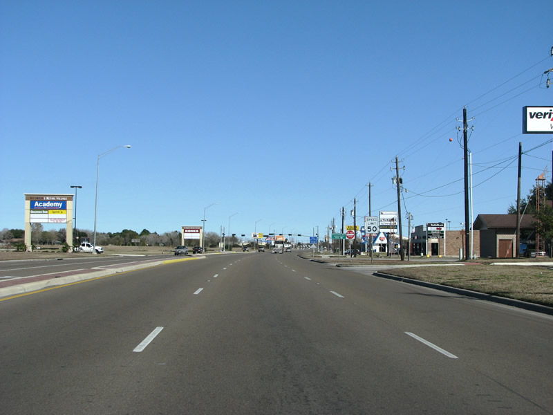 |
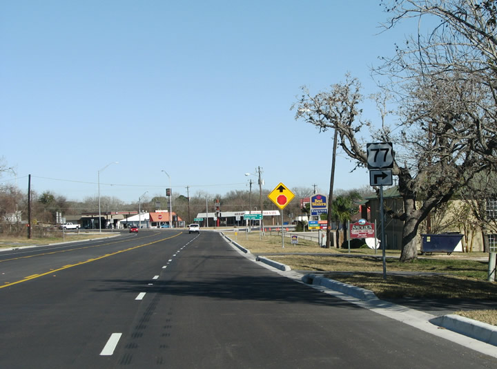
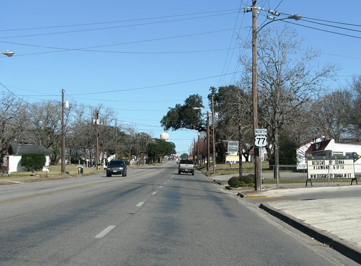
Headed north out of Victoria, US 77 retains a retail-strip feel. Victoria has about 65,000 people but a large regional service area, meaning that there are many big box stores here. While in the city limits, US 77 has 6 through lanes. Photo taken 01/01/08. |
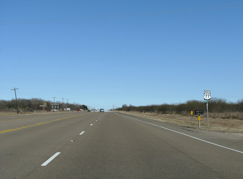 |
Upon leaving Victoria, US 77 transitions to a rural road with very little traffic on this cold winter morning. A center turn lane provides for left turns in the ever-expanding sprawl of Victoria. Photo taken 01/01/08. |
 |
The first FM road north out of town is 444, the beginning of a numerical alliteration theme along this road. FM 444 heads southeast to the town of Inez on US 59. Southbound travelers would use it as a shortcut. Photo taken 01/01/08. |
 |
As Victoria County ends, the coastal plain gives way to the elevated Texas interior. From here on out, US 77 will have a net rise in elevation. This photo looks north just before the FM 682 intersection in the village of Fordtran. Photo taken 01/01/08. |
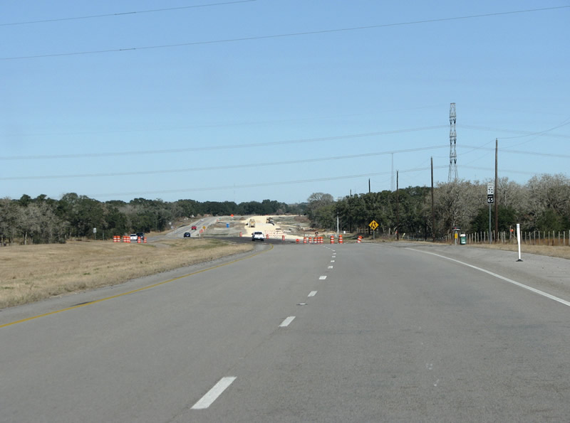 |
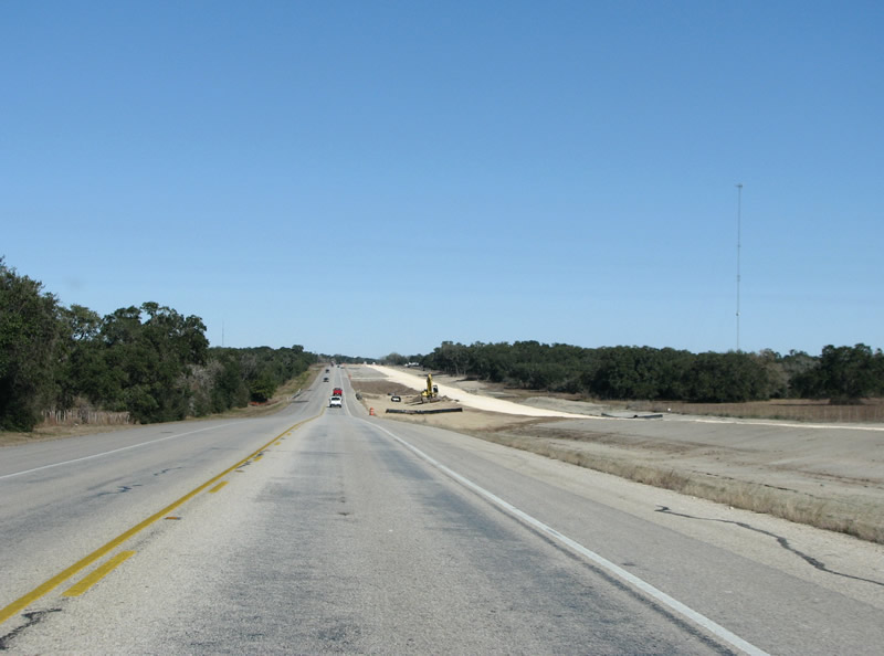
As US 77 nears the next county, the 4 lane section gives way to two lanes, and construction is underway to twin the carriageways and provide Victoria with a better connection to points north. Photo taken 01/01/08. |
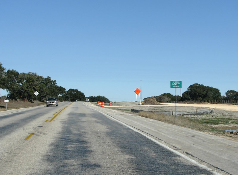 |
US 77 enters DeWitt county for only 1.3 miles, but the county line is signed. Photo taken 01/01/08. |
 |
US 77 northbound enters Lavaca County, but the county line is not signed due to the construction. Work to add extra lanes to US 77 will continue into 2008, and will aid in hurricane evacuation efforts for the upcoming storm seasons. Photo taken 01/01/08. |
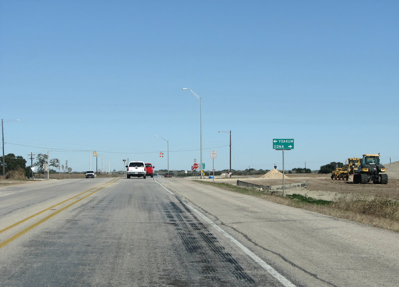 |
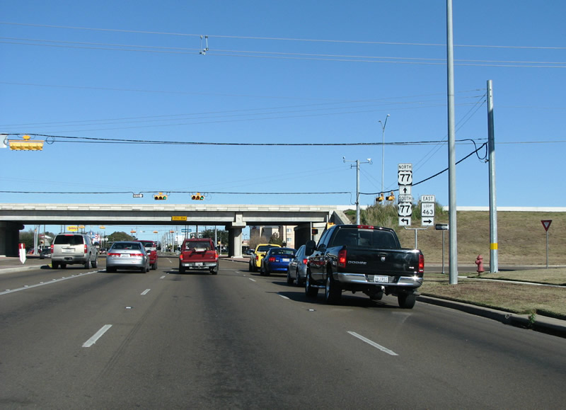
The first intersection and stop north of Victoria is at SH 111. The construction work underway to the right in this photo is building an overpass and diamond interchange with the state highway. The current road will become the southbound onramp. Photo taken 01/01/08. |
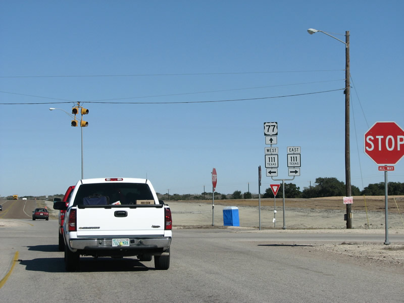 |
US 77's numerical alliteration theme continues here at SH 111. The 75 mile long state highway connects US 183 and Interstate 10 with Edna, US 59, and the Texas coast. Photo taken 01/01/08. |
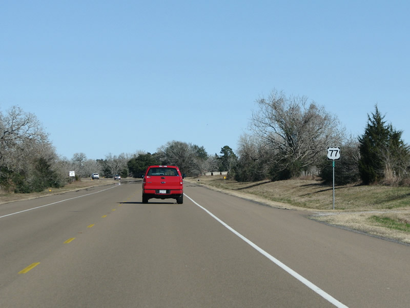 |
The route goes to a steady 2 lane rambling drive north of SH 111. Southern Lavaca County is rolling farm country, with large patches of decidious forest. Palm trees are not uncommon, scattered around the countryside. Photo taken 01/01/08. |
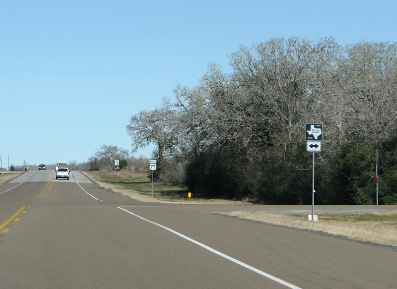 |
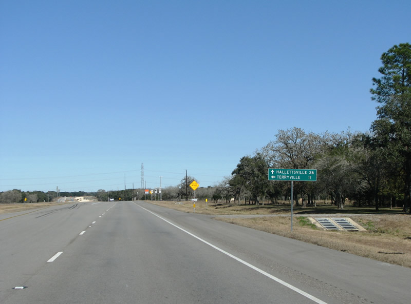
US 77's junction with FM 531, south of Hallettsville. This FM road connects Koerth and Ezzell, the first two of many, many German placenames in this part of the state. Photo taken 01/01/08. |
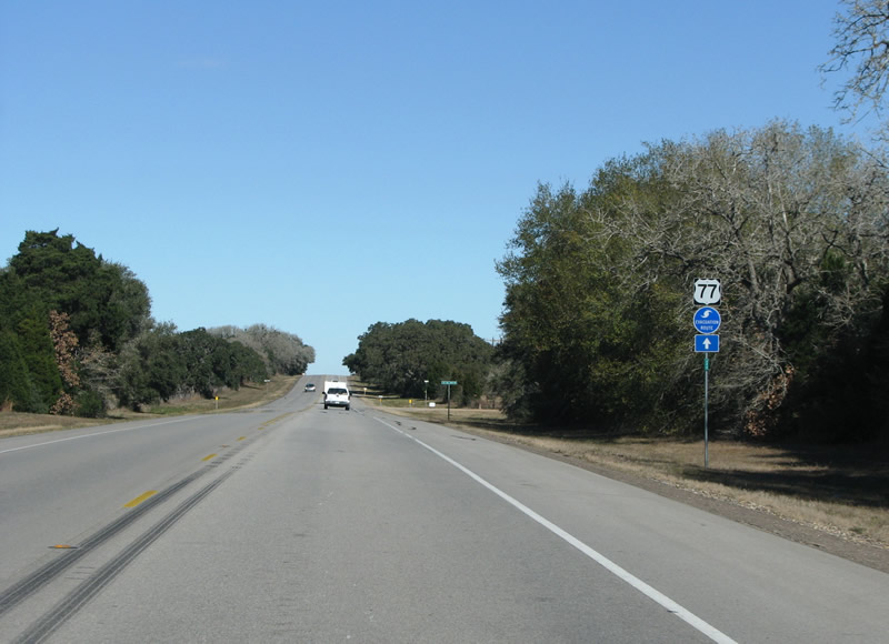 |
South of Hallettsville, there are many US 77 reassurance markers. This one points out that the route is also used as a formal Hurricane evacuation route for the Victoria area. Photo taken 01/01/08. |
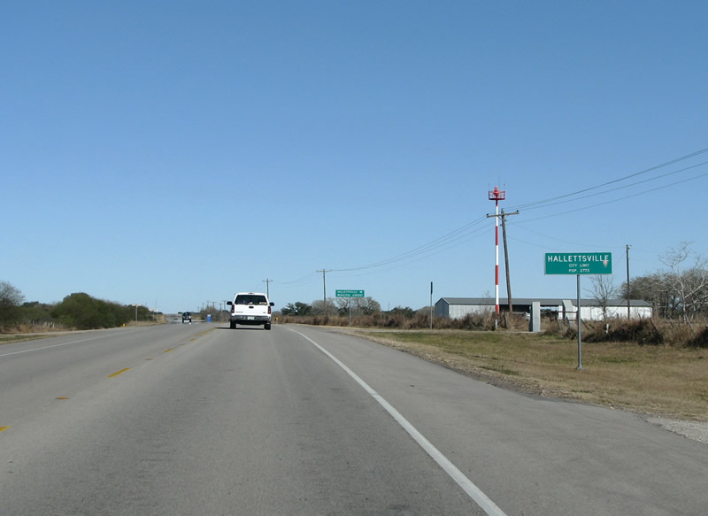 |
Entering Hallettsville, the town's small airport is present on the east side of the road. Many Texas cities annex strips of land out to their properties like airports that may be many miles from the town proper, Hallettsville is not an exception here. Photo taken 01/01/08. |
 |
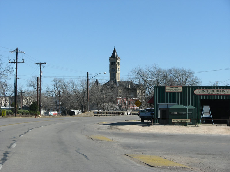
The skyline is punctuated by a silver water tower, as US 77 enters Hallettsville and has some new asphalt and a new center turn lane. Photo taken 01/01/08. |
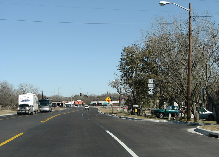 |
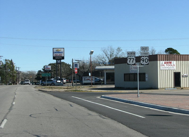
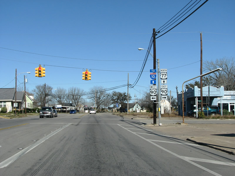
The first major intersection north of Victoria is US 90 Alt, with which US 77 has a small overlap through town. Photo taken 01/01/08. |
 |
Motorists headed north on US 77 turn right here on the west side of town, to continue along the route. Photo taken 01/01/08. |
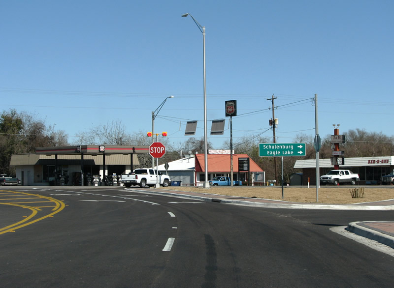 |
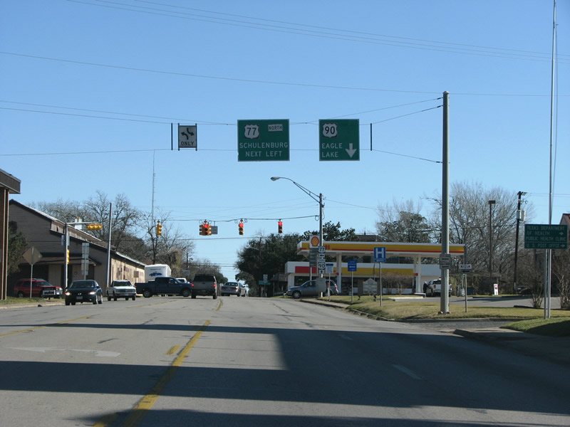
A look at the intersection of US 77 and US 90 Alt. Schulenburg is the next large town along US 77, and sits at IH 10. Eagle Lake, in Colorado County, is further east along US 90 Alt. Photo taken 01/01/08. |
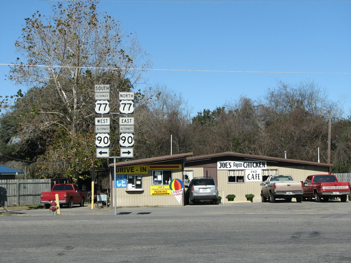 |
The intersection of US 90 Alt and US 77 on the west side of Hallettsville, right in front of Joe's Fried Chicken. Photo taken 01/01/08. |
 |
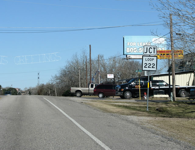
Headed east into Hallettsville, US 90 Alt and US 77 share an overlap. This area of town has many large mansions and old German-built churches. Back in 1913, some people figured out that Hallettsville had 13 letters in its name. At the time, it had 13 newspapers, 13 saloons, 13 churches, and a population of about 1300. It was nicknamed "The 13 City", but has not been very unlucky since. The secluded county seat remains a quaint and out-of-the-way atmosphere. Photo taken 01/01/08. |
 |
Like most small Texas county seats, Hallettsville's skyline is completely dominated by it's gothic-inspired courthouse. The courthouse was completed in 1897 and stands 170 feet tall, it is built primarily of brown sandstone, shipped in from Mills County, Texas. Photo taken 01/01/08. |
 |
Wire-hung signs near the south side of the town's square separate the short overlap of US 77 and US 90 Alt. Photo taken 01/01/08. |
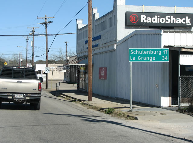 |
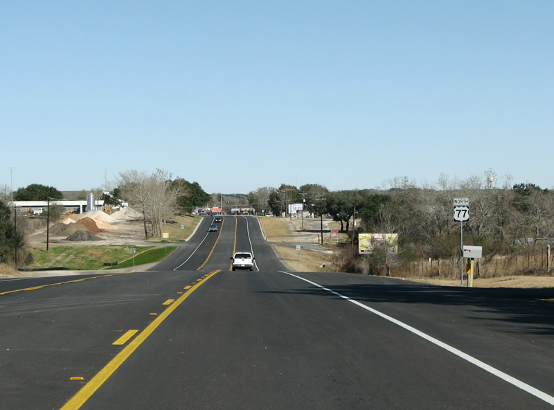
Immediately after turning, a mileage sign stands 17 miles from Schulenburg, and IH 10. For the first time, La Grange appears on the mileage signs. It is the next large town along the route. Photo taken 01/01/08. |
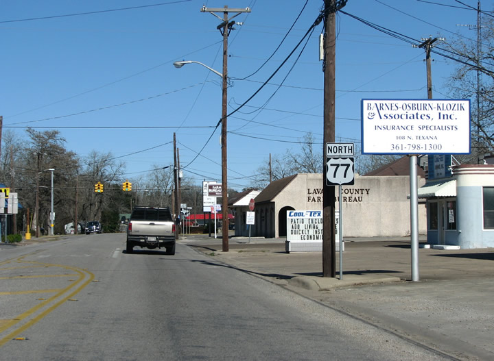 |
A US 77 northbound reassurance shield headed north in Hallettsville. Photo taken 01/01/08. |
 |
Another view of US 77 in town. The north end of the city has a smattering of retail, including the local Wal Mart. The town was named for John Hallett, a local settler who received a land grant from Stephen F. Austin (the father of Texas) way back in 1831. Most of the settlers in the late 1800s came from Germany and Czechoslovakia. There are still many German and Czech street names in town. Photo taken 01/01/08. |
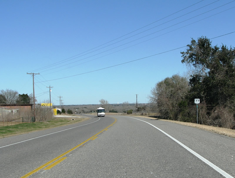 |
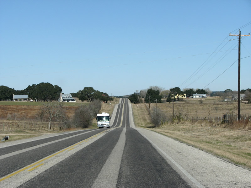
North of Hallettsville, US 77 transitions to a lazy rural highway again. The RV on the other side of the road is likely using US 77 to get down to the Texas coast for the winter. The coast is relatively undeveloped and is popular with people from states like Minnesota, Iowa, and South Dakota. Photo taken 01/01/08. |
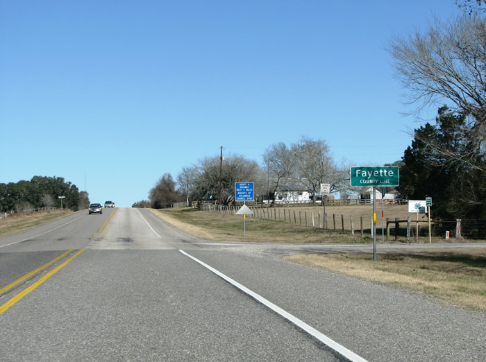 |
South of Schulenburg, US 77 enters Fayette County. The county was named for hero Marquis de Lafayette, and the county seat of La Grange was named for his chateau. Photo taken 01/01/08. |
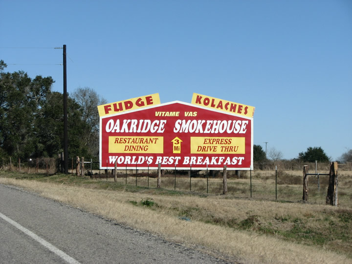 |
Fayette County has been a seat of Czech immigration in America since 1856, when Dubina was founded as the first Bohemian Czech settlement in the state. "Vitame Vas", which is Czech for "We Welcome You" is still a common sight along Fayette County's roads. Many placenames, road names, and last names are Czech and it is very easy to find a good Kolache. Photo taken 01/01/08. |
 |
Arriving in Schulenburg, Loop 222 carries US 77 traffic through the center of town. Photo taken 01/01/08. |
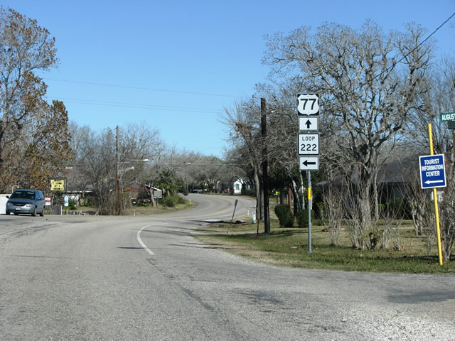 |
Turn left to go into downtown Schulenburg. Loop 222 is only .5 miles long and will take you to US 90, and is useful as well for continuing US 77's numerical alliteration theme. Photo taken 01/01/08. |
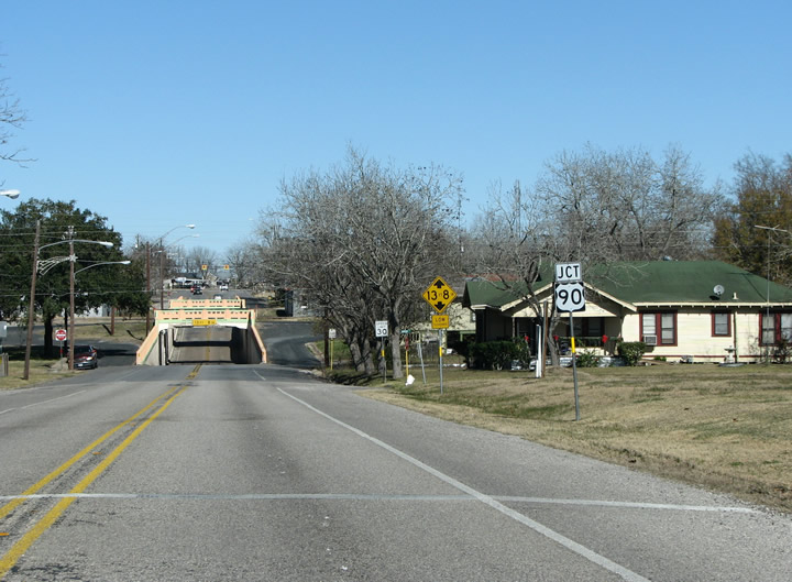 |
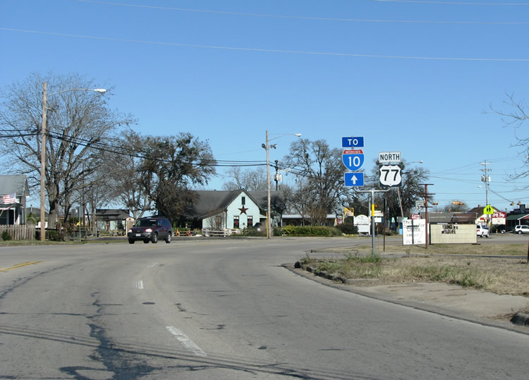
In town, US 77 arrives at its junction with one of those giants of the US highway system, US 90. US 90 follows IH 10 for 607 miles through the state and ends in Jacksonville Beach, Florida on the Atlantic Ocean. Photo taken 01/01/08. |
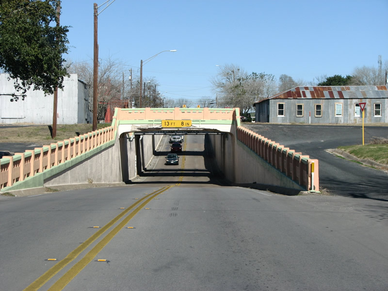 |
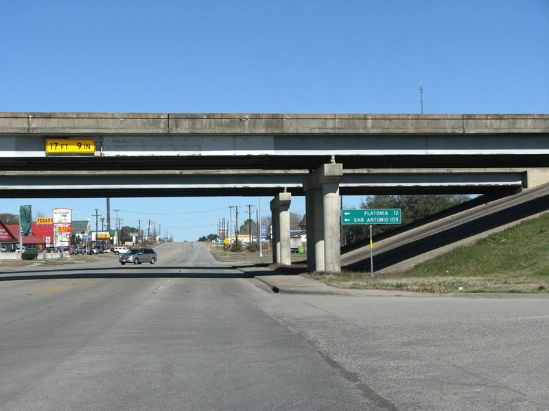
Schulenburg is blessed with a beautifully restored road underpass on the east side of downtown. This used to carry US 90 and the Southern Pacific Railroad over the main north road in town. Today, the railroad remains but US 90 has been rerouted to the north. Photo taken 01/01/08. |
 |
US 77 northbound meets US 90 at this light in Schulenburg. This is also the first mention of IH 10 along the route northbound. Photo taken 01/01/08. |
 |
North of US 90, the road transitions into a retail strip serving interstate motorists. Schulenburg was founded by German, Austrian, and Czech settlers in the 1840s. The town has a rich musical past and has had several orchestras including the famous Gold Chain Bohemian Band. Photo taken 01/01/08. |
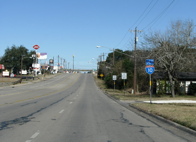 |
US 77 northbound prepares to meet IH 10. This stretch of road contains many sausage and German food establishments popular with the locals and with travelers. German settlers brought their sausage making skills and the abundance of cattle meant that beef sausage is very popular in Central Texas. Photo taken 01/01/08. |
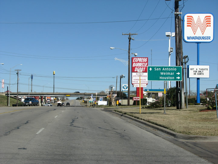 |
As US 77 meets IH 10, guide signs point motorists to the main control points of Houston and San Antonio. Weimar is the next town along IH 10 to the east, and this sign keeps with the TxDot policy of listing the main control points as well as the next large town. Photo taken 01/01/08. |
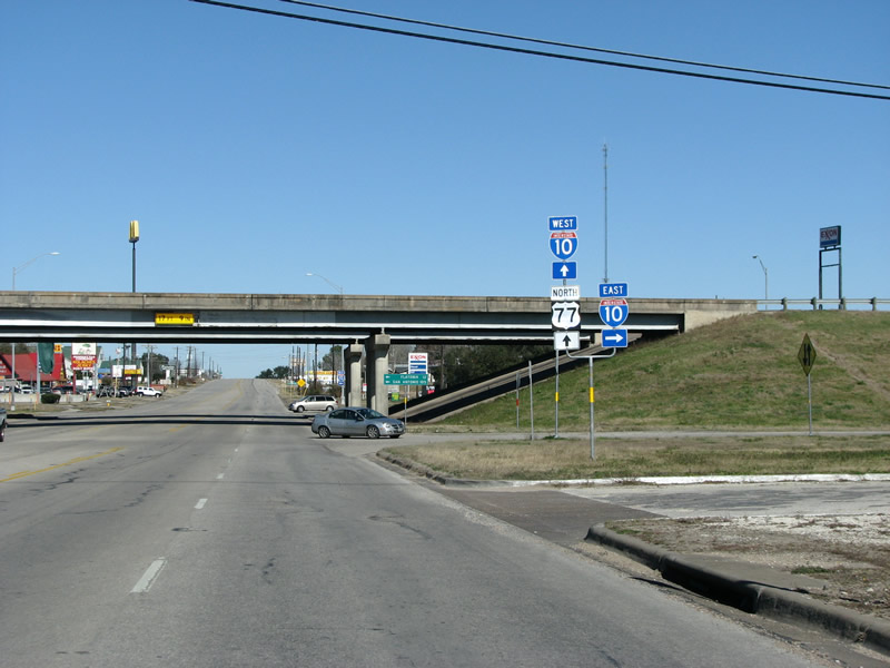 |
The interstate was completed through town in 1969, IH 10 was the last major cross-state freeway in Texas to be completed. The interchange here has the basics for an exit, gas stations, fast food restaurants, etc. Photo taken 01/01/08. |
 |
Under the bridge, US 77 drivers can turn left and get to San Antonio in about an hour and a half. Flatonia is the next large town to the west. Photo taken 01/01/08. |
 |
US 77 northbound at IH 10 westbound. This marks the end of the German town of Schulenburg, and a return to the farming communities of Fayette County. During the interwar years, this was the center of the world cottonseed oil production, and Schulenburg's Southern Pacific railroad exported many thousands of gallons of it when other oils were scarce during WW2. Photo taken 01/01/08. |
 |
North out of town US 77 becomes hilly and rolling, with beautiful rural vistas on each side of the road. US 77 passes through the hamlets of Swiss Alp, and signs point the way to places like Freyburg and Holman. Photo taken 01/01/08. |
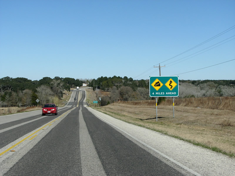 |
South of La Grange, a dire warning of things to come. The hills get a bit steeper here, for Texas at least. A few passing lanes are provided along the route, but there is very light traffic today. North of IH 10, traffic counts on US 77 get very low until much further north. Most traffic would seemingly prefer to use the busy IH 35 off to the west. Photo taken 01/01/08. |
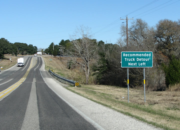 |
The next green sign warns of a recommended truck detour into the town of La Grange. Photo taken 01/01/08. |
 |
FM 2436 provides a shortcut to get into La Grange from the west, avoiding whatever curviness awaits motorists towards the north. Photo taken 01/01/08. |
 |
US 77 northbound. As the elevation rises from 350 feet to 450 feet above sea level, more pine trees can be seen to provide year-round color in this currently brown winter landscape. Photo taken 01/01/08. |
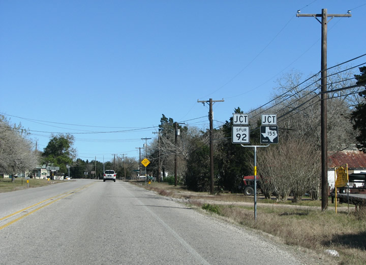 |
South of La Grange, another state highway is met at Spur 92. Only .3 miles long, it is one of the shortest state spurs. Photo taken 01/01/08. |
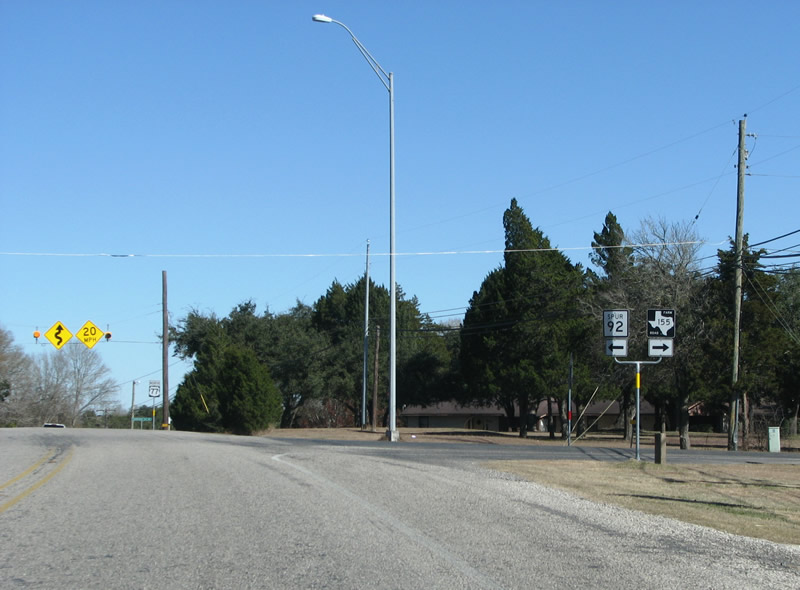 |
US 77 northbound at Spur 92 and FM 155. Spur 92 connects the US highway to Monument Hill state park and the ruins of the Kreische Brewery. Monument Hill contains the tomb of the men who died in the Dawson Massacre of the Texas War for Independence, famous views can be had from the top of the Colorado River Valley. Photo taken 01/01/08. |
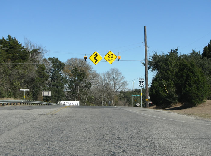 |
Yet another warning sign for impending curviness. It is hard to imagine something windy in this otherwise fairly flat landscape. Photo taken 01/01/08. |
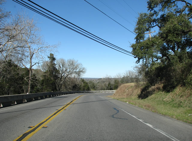 |
The signs are explained as US 77 begins a very steep decline into the Colorado River Valley. Photo taken 01/01/08. |
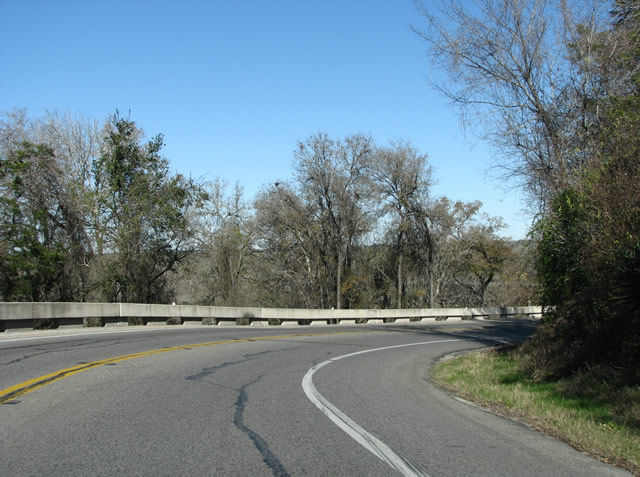 |
The road follows a series of steep switchbacks down the river bluffs, through the trees great views are afforded of the countryside and the town of La Grange. Photo taken 01/01/08. |
 |
The road descends into the floodplain of the river, with wide open park spaces and large bluffs on the right side. The first bridge in town was built over the river in 1883, while this one dates from the 1980s. Photo taken 01/01/08. |
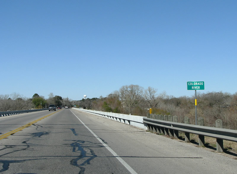 |
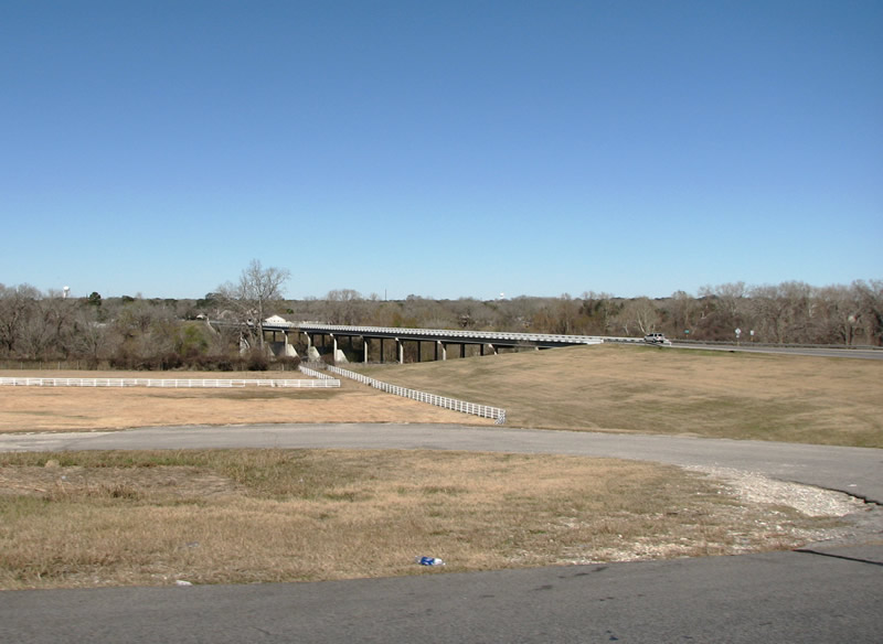
US 77 crosses the Colorado River just south of La Grange. Along with the Brazos, the Colorado is the most important river in the state of Texas. Its valley provided fertile farmland for German and Czech immigrants, and protection for the heroes of the Texas Revolution. The river was traversed by the men who founded the state's new capitol of Austin along its banks, some distance upriver from La Grange. Photo taken 01/01/08. |
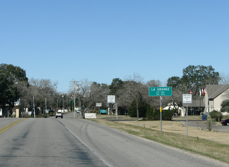 |
The La Grange city limits are just north of the river. The town was platted in 1837, and in 1838 the Congress of the Republic of Texas passed a bill resolving to place the new national capitol at La Grange. Fortunately for Austin, the bill was vetoed by President Sam Houston who sought a capitol on a location further west to open settlement in mostly Indian-controlled territory. Photo taken 01/01/08. |


Page Updated January 12, 2008.
|
About Contact FAQ |
Spotlights Interstate Guide |
Social Media:
 |
|
© 2000-25 AARoads.com | All Rights Reserved | Privacy Policy / Terms of Use
|
||