| U.S. 82 East |
|
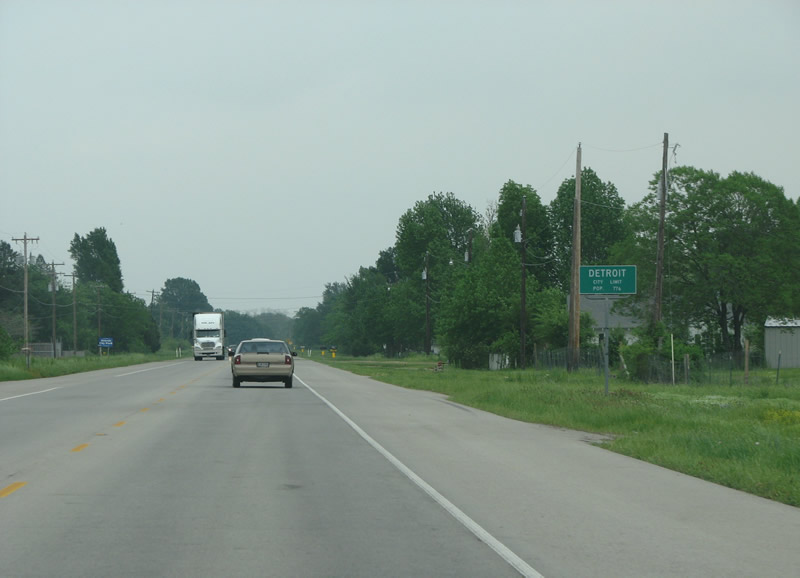
Soon after entering the county, the community of Detroit is encountered. The town was named by the local railway agent after his Michigan hometown in 1887. Photo taken 04/25/08. |
|
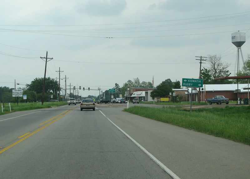
Kiomatia and Rugby are two towns served from Detroit by the upcoming FM 410. Photo taken 04/25/08. |
|
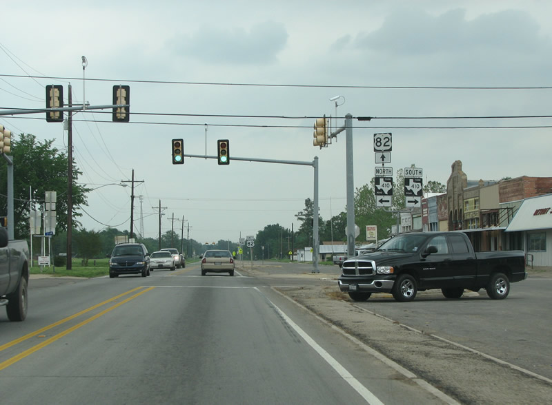
Here in central Detroit, FM 410 runs both north and south, and forms an important route along the Texas side of the Red River. Photo taken 04/25/08. |
|
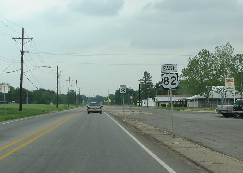
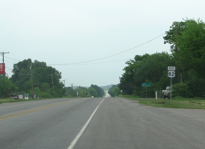
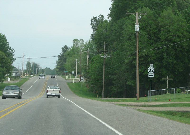
US 82 is delightfully graced with a directional banner here in Detroit. Photo taken 04/25/08. |
|
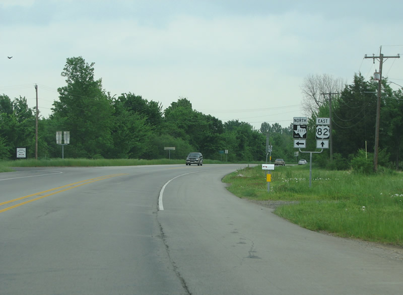
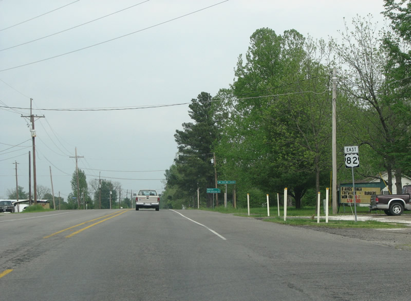
FM 2573 branches off here while US 82 takes a turn to the south. US 82 is the main street of Texas' eastern Red River valley, and generally follows the route of the Texas & Pacific Railroad. FM 2573 forms the old route of the US highway and keeps close to the rails, while the new route goes south. Photo taken 04/25/08. |
|
This view looks eastbound at a US 82 reassurance marker east of Detroit. Photo taken 04/25/08. |
|
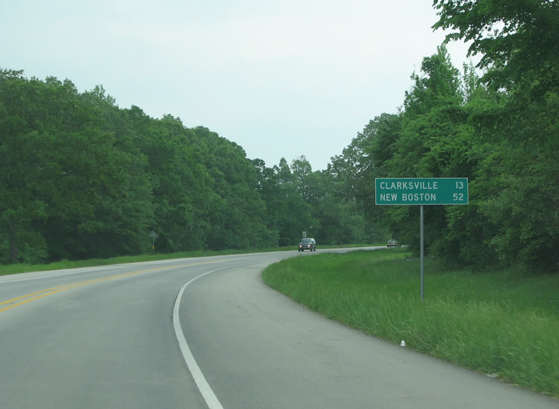
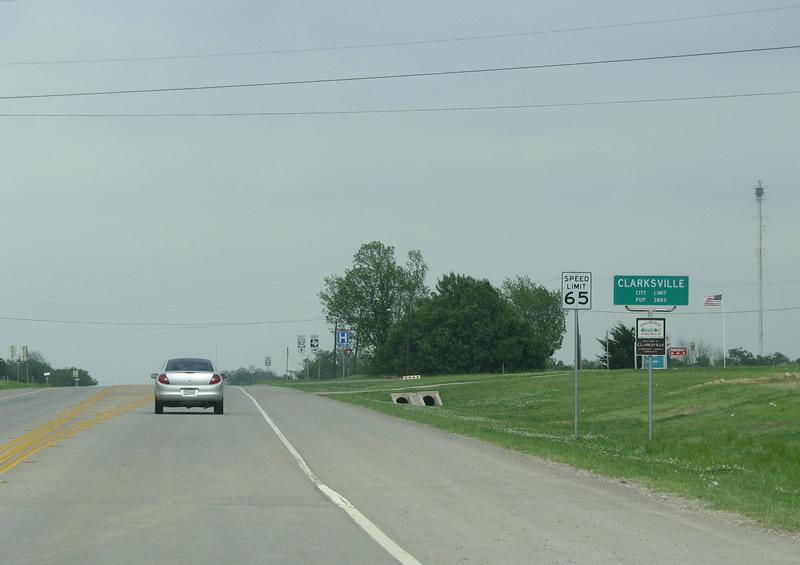
The first mileage sign in the county states that the county seat, Clarksville, is 13 miles further. Photo taken 04/25/08. |
|
|
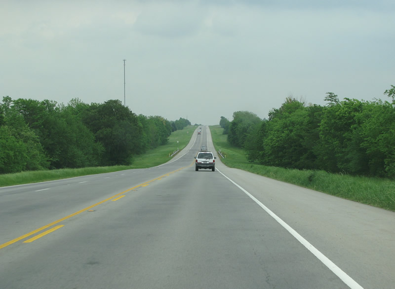
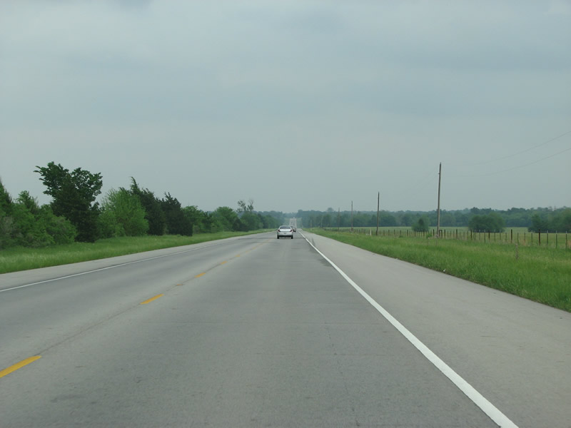
US 82 continues eastbound through sparsely populated farming country. Photos taken 04/25/08. |
|
US 82 enters Clarksville from the west in this picture. Clarksville is the county seat and largest town in Red River County. The town was founded way back in 1833, and named after its founder James Clark. Photo taken 04/25/08. |
|
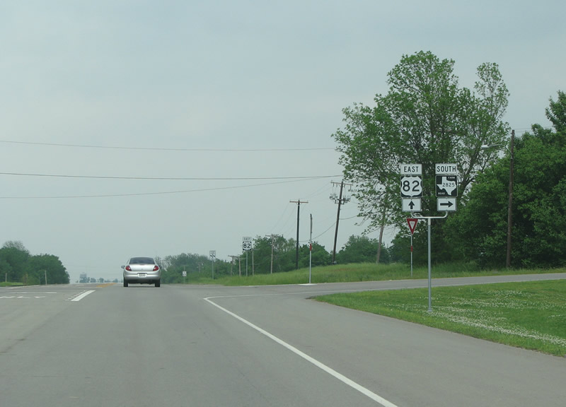
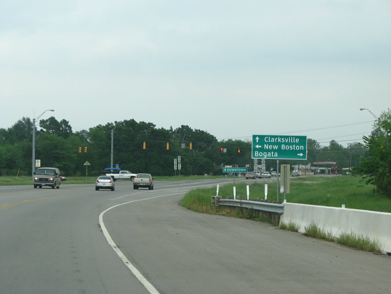
The first junction in town sees US 82 meet FM 2825, which runs southward for a short while as a shortcut to SH 37 southbound. Photo taken 04/25/08. |
|
|
As US 82 enters Clarksville, it prepares to turn northward and eastward with SH 37 to go around the town as a bypass. Photos taken 04/25/08. |
|
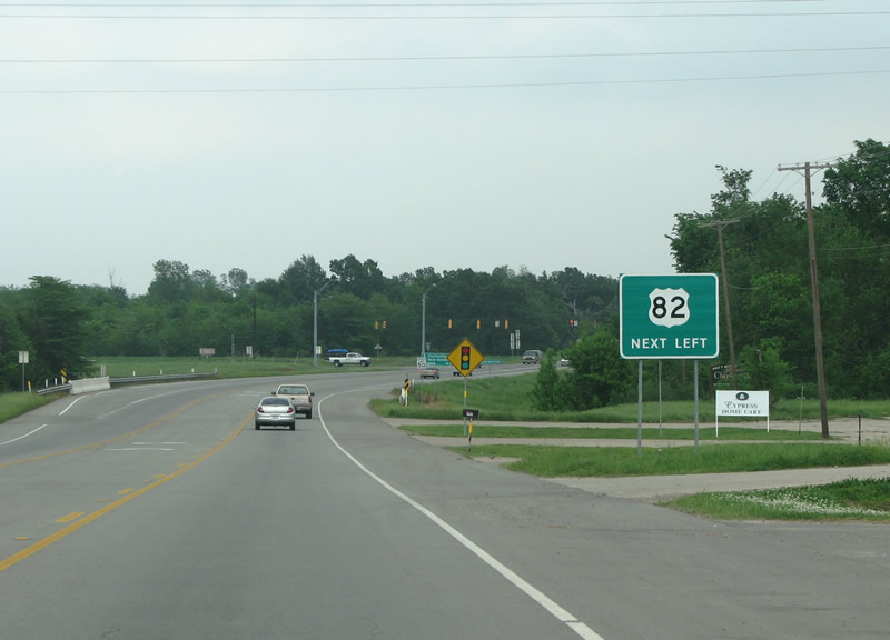
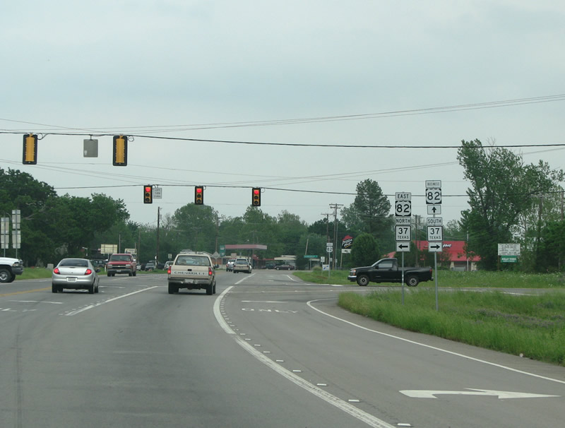
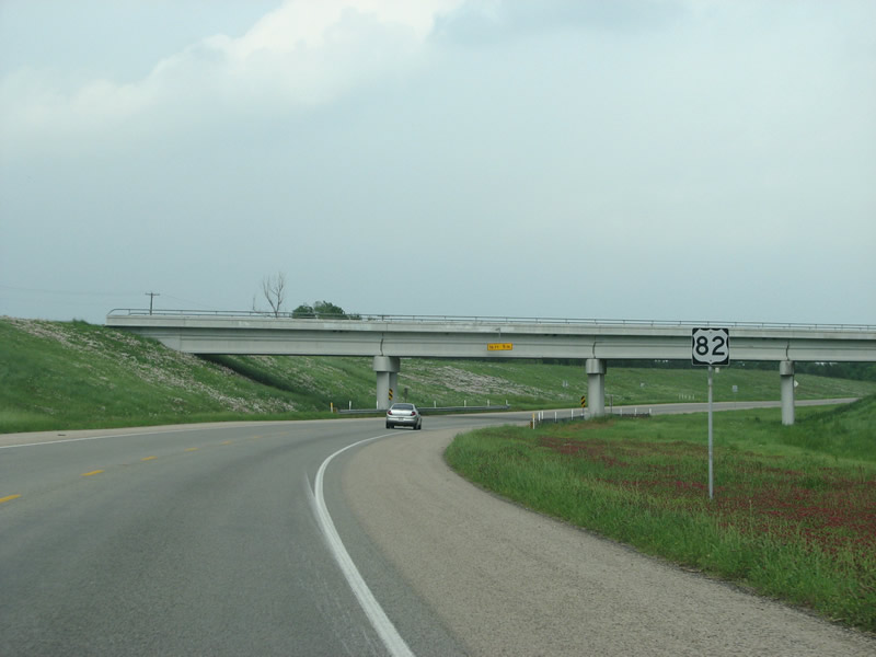
SH 37 is an important north/south route in northeast Texas. It connects Clarksville with Interstate 30 and Oklahoma. Although the regional centers of Idabel and Texarkana are easily accessible from here, they're not mentioned on the control point sign. Photo taken 04/25/08. |
|
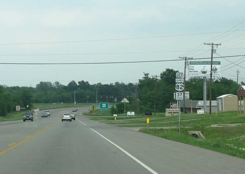
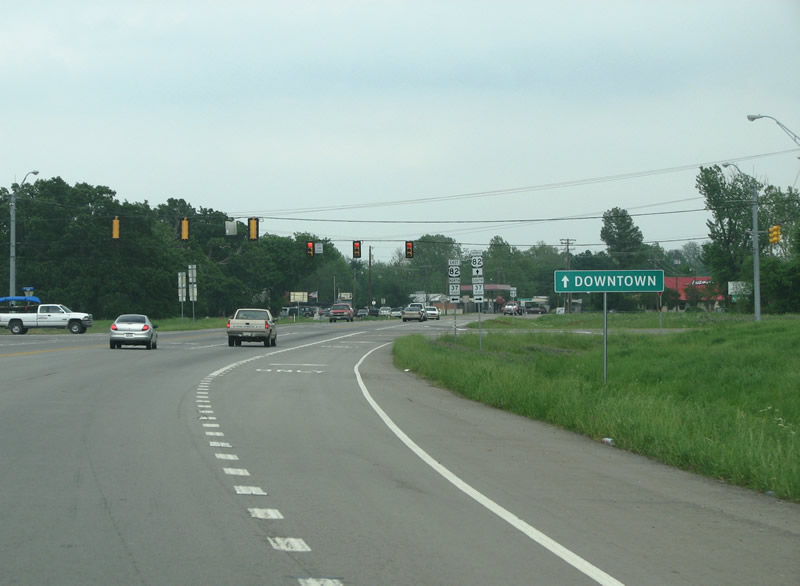
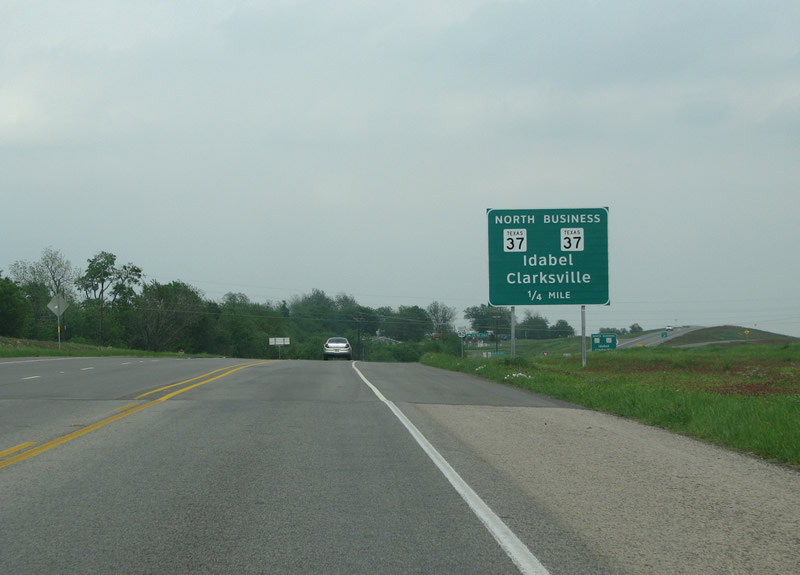
As this sign suggests, downtown Clarksville sits directly ahead along US 82 business. Photo taken 04/25/08. |
|
US 82 eastbound at the Clarksville bypass. The bypass was completed in 2006, and the old route became Business 82. Photo taken 04/25/08. |
|
The western side of the bypass features grade separations, such as this one at the T&P Railroad. This road is officially named the Captain Henry Stout bypass, named for a hero of the Texas Revolution, Texas Ranger, and civil war veteran. Photo taken 04/25/08. |
|
The only major interchange along the bypass is for SH 37, which continues northward into Oklahoma from here. Photo taken 04/25/08. |
|
US 82 looking eastward at the SH 37 interchange. Notably absent from this sign are an exit arrow and the southbound marker for SH 37 business. Idabel, the northbound control point, is Oklahoma's entry into the somewhat misnamed Arklatex region. Photo taken 04/25/08. |
|
A view of a US 82 reassurance marker east of the SH 37 interchange. Photo taken 04/25/08. |
|
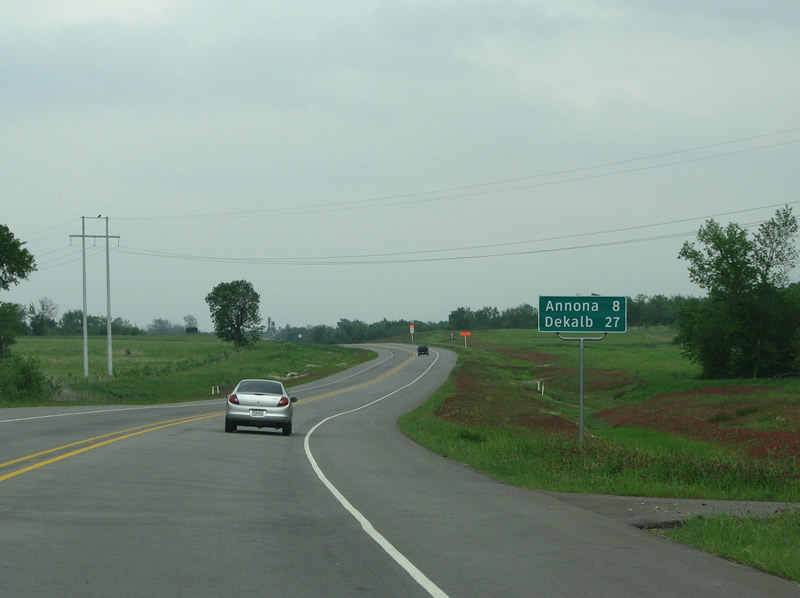
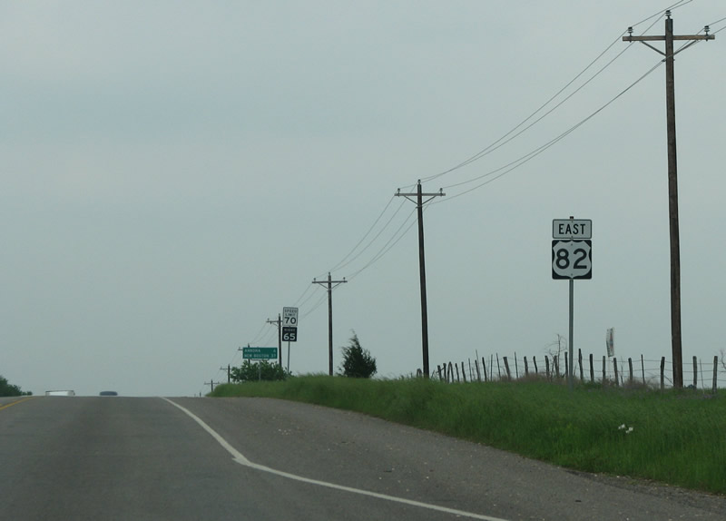
A mileage sign eastbound along US 82 shows Annona as the next community the road encounters. This section of roadway opened in 2006. Photo taken 04/25/08. |
|
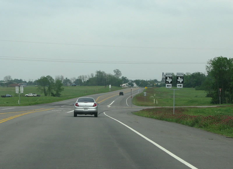
FM 1159 runs northeastward from Clarksville to the Red River communities of Greenwood and Acworth. Photo taken 04/25/08. |
|
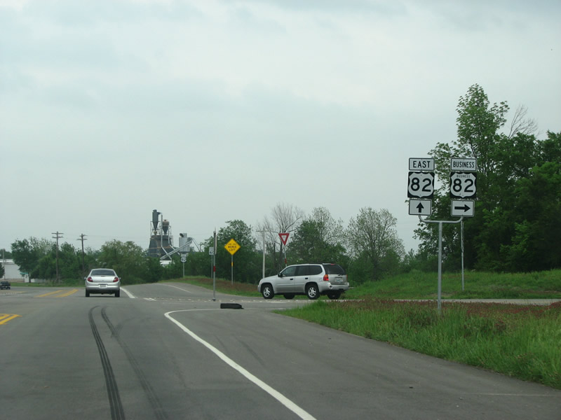
US 82 meets US 82 Business here on the east side of town. From here on, US 82 resumes its old routing. Photo taken 04/25/08. |
|
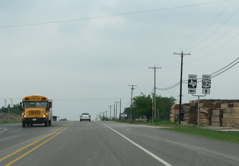
The next FM road encountered is 114, FM 114 runs almost due east to US 259 while US 82 swings to the south a bit. Photo taken 04/25/08. |
|
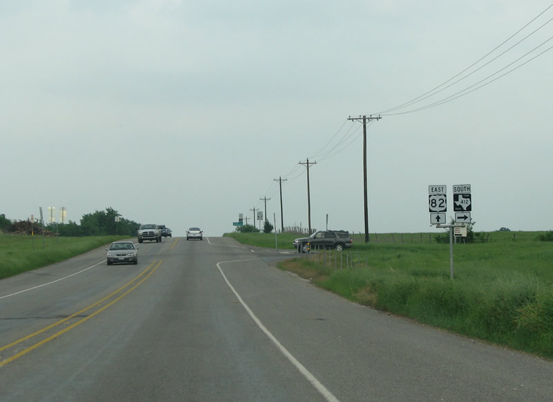
FM 412 runs south through cattle and farmland through the community of Peters Prairie. Photo taken 04/25/08. |
|
|
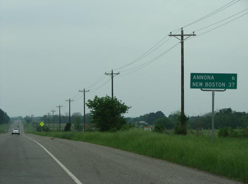
Annona, the next town, is 6 miles beyond. Photos taken 04/25/08. |
|
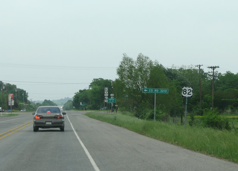
A US 82 reassurance marker to the west of Annona. Photo taken 04/25/08. |
|
Annona was named for a local Native American girl in 1882, currently the population is around 280. Photo taken 04/25/08. |
|
US 82 eastbound in Annona, the town has just a few businesses and some homes. Photo taken 04/25/08. |
|
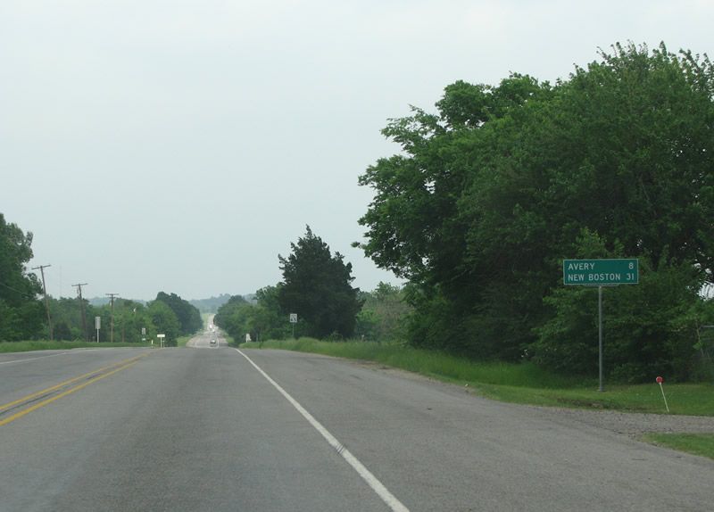
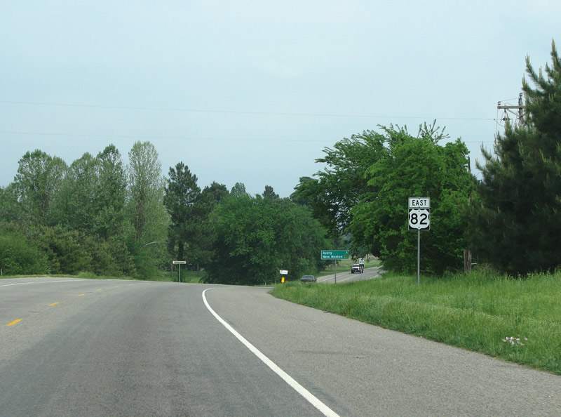
East of Annona, the mileage sign indicates 8 miles to the next town of Avery. Photo taken 04/25/08. |
|
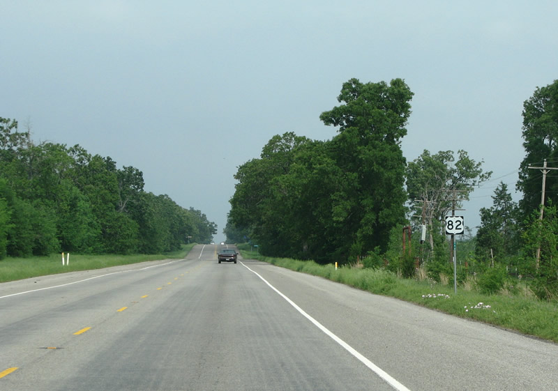
A directionless US 82 sign sits here in the trees east of Annona. Photo taken 04/25/08. |
|
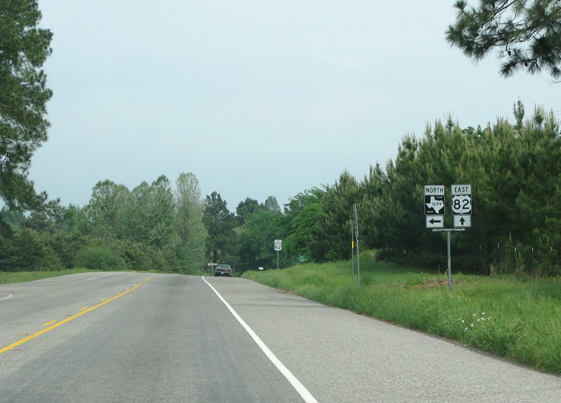
FM 1699 runs north and west to the community of English. Photo taken 04/25/08. |
|
A US 82 reassurance marker west of Avery. Photo taken 04/25/08. |
|
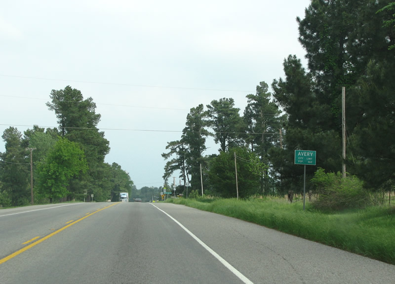
Pine trees appear more and more frequently as US 82 enters Avery. The town started as a tent community in 1881 and was later named for a railroad agent. Photo taken 04/25/08. |
|
A US 82 eastbound reassurance marker in Avery. Photo taken 04/25/08. |
|
FM 911 crosses US 82 in Avery. The FM road is a north/south route on the east side of Red River County. Photo taken 04/25/08. |
|
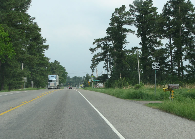
US 82 meets its business route on the west side of Avery. The business route runs a short distance to the south through town. Photo taken 04/25/08. |
|
This view looks eastbound at a US 82 marker in Avery. Photo taken 04/25/08. |
|
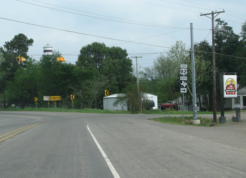
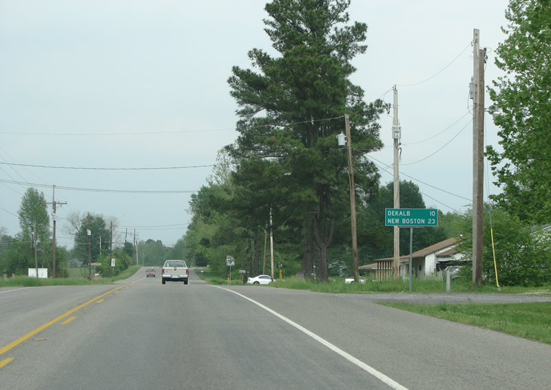
DeKalb is the next town along the route, as this mileage sign in Avery notes. Photo taken 04/25/08. |
|
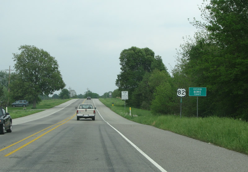
The last county in Texas for US 82 is Bowie. Because it was originally considered part of Arkansas, this part of Texas was one of the first to see "white" settlement. Photo taken 04/25/08. |
|
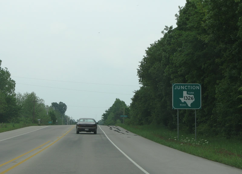
FM 1326 is the first secondary state road to be encountered in Bowie County. This TxDot district often signs FM roads along US and State highways sign large green signs instead of standalone shields. Photo taken 04/25/08. |
|
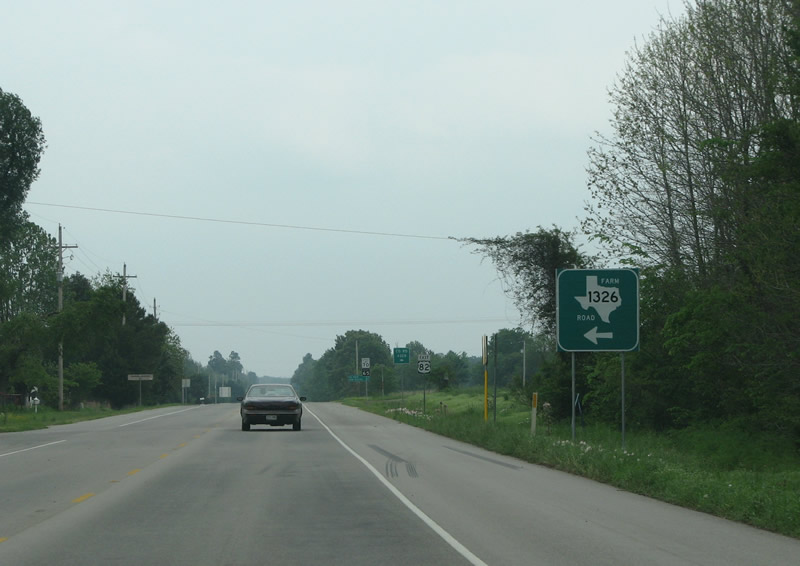
FM 1326 runs northward into the pine forests of Bowie County to FM 114. Photo taken 04/25/08. |
|
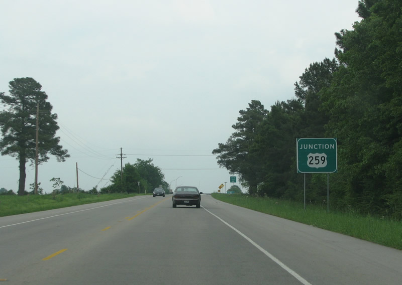
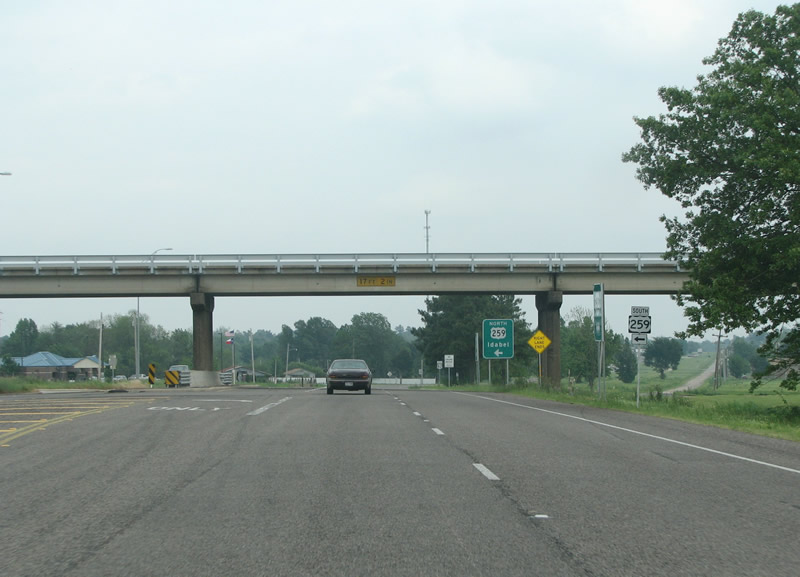
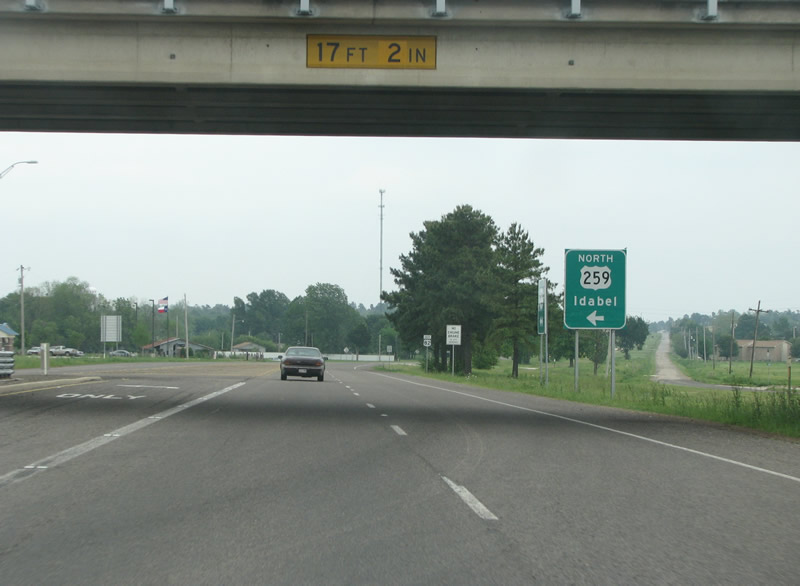
The first major route encountered in Bowie County is US 259. Photo taken 04/25/08. |
|
US 259 runs southward to Daingerfield, Interstate 30, Longview, and Nacogdoches. Photo taken 04/25/08. |
|
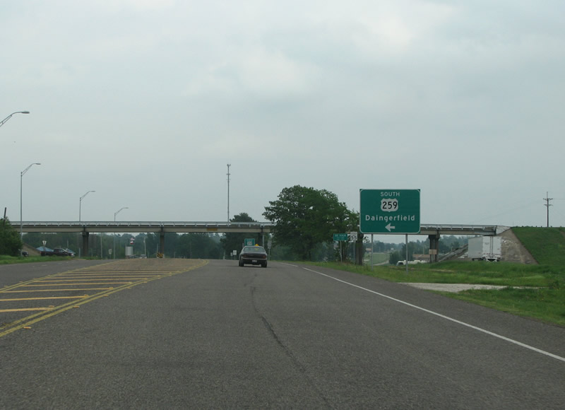
US 259 meets US 82 with a grade separation on the west side of DeKalb. Photo taken 04/25/08. |
|
Under the bridge, the northbound control point for US 259 is Idabel, which is in Oklahoma although the state name is not mentioned. The old route of US 82 into DeKalb is visible to the right. Photo taken 04/25/08. |
|
The road increases in lanes as US 82 enters DeKalb. Photo taken 04/25/08. |
|
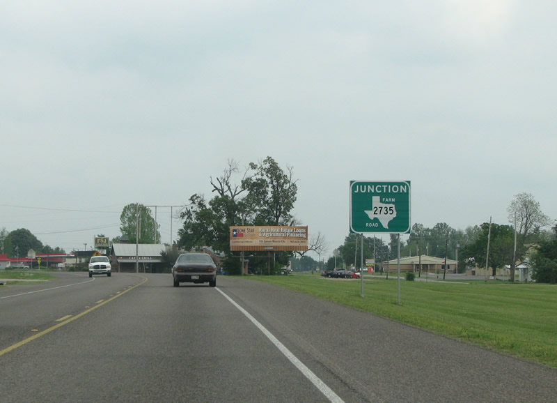
FM 2735 runs north from DeKalb to the Red River valley and Arkansas. Photo taken 04/25/08. |
|
US 82 eastbound at FM 2735. Photo taken 04/25/08. |
|
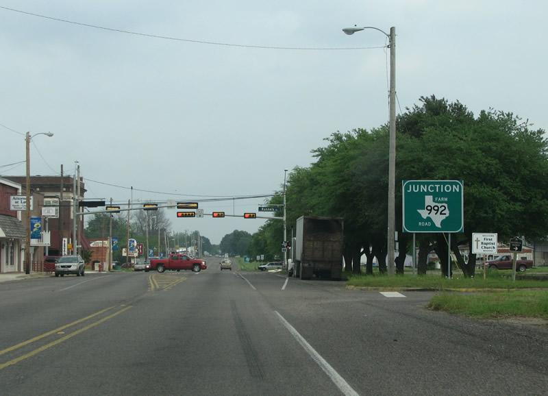
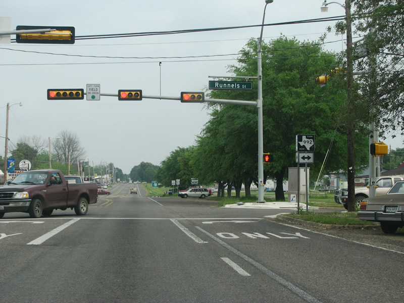
This photo looks eastbound into the center of Dekalb at the junction sign for FM 992. Photo taken 04/25/08. |
|
|
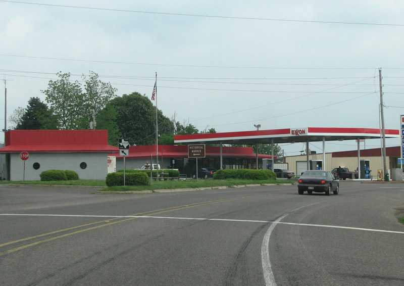
US 82 eastbound at FM 992. Legend has it that DeKalb got its start in the winter of 1835, when Davy Crockett stopped there on his way to the alamo. Crockett asked for the name of the settlement, and locals asked him to come up with one. He chose to name the community after the Prussian Baron de Kalb, a general in the army at that time. Photo taken 04/25/08. |
|
A US 82 eastbound reassurance marker in DeKalb. Photo taken 04/25/08. |
|
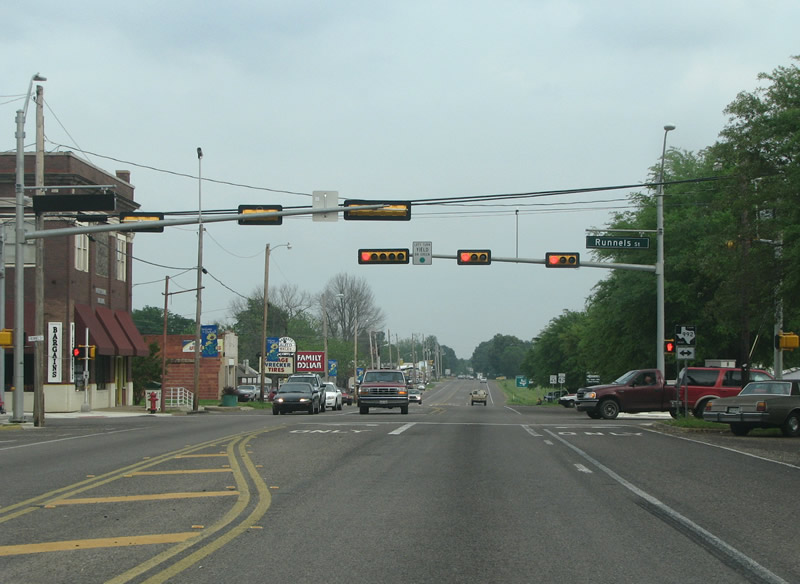
US 82 gains a center turn lane on the east side of town, this area sees most of DeKalb's retail establishments. Photo taken 04/25/08. |
|
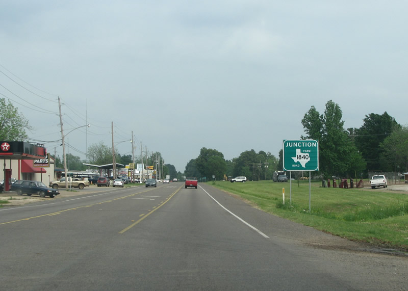
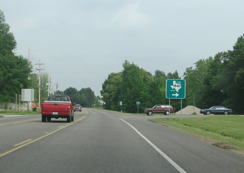
FM 1840 runs southeastward, over Interstate 30 to New Boston somewhat parallel with US 82 to the south. Photo taken 04/25/08. |
|
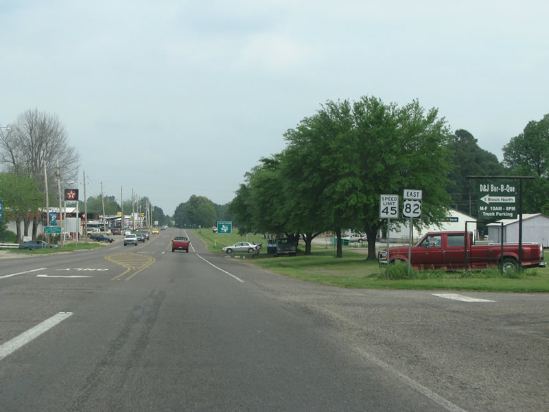
US 82 loses its center turn lane as it leaves DeKalb and returns to a more forested setting. Photo taken 04/25/08. |
|
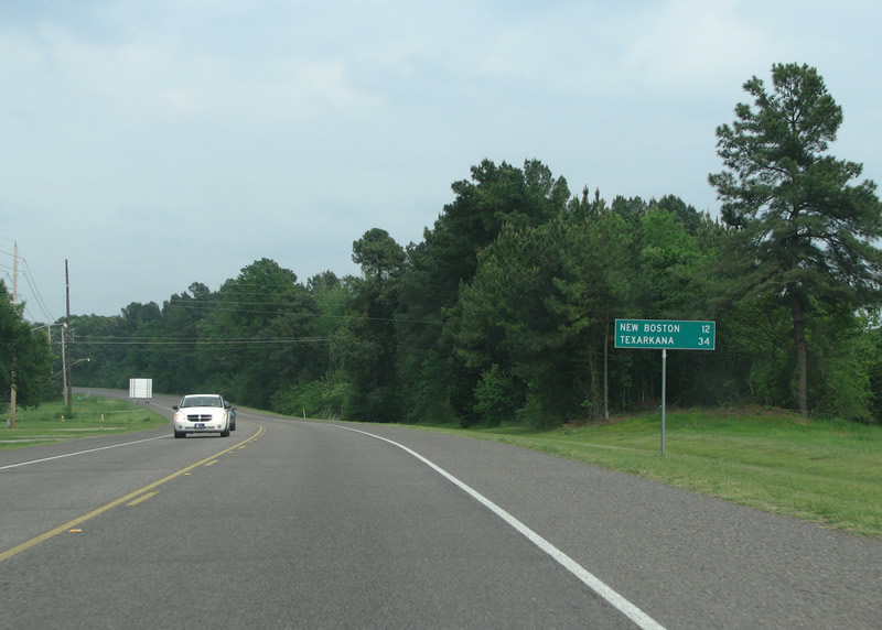
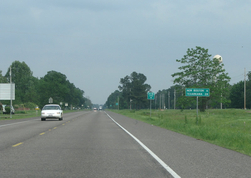
New Boston, the next town, is a distant 12 miles through the forest. Photo taken 04/25/08. |
|
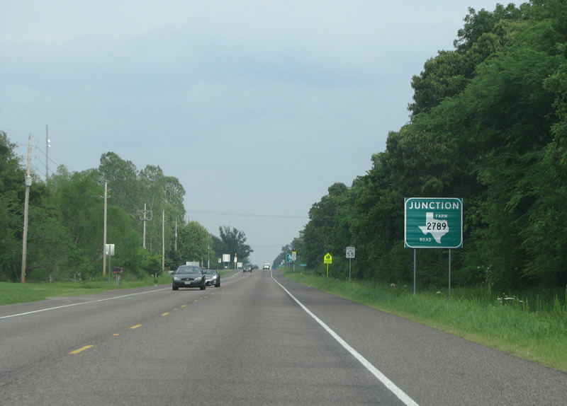
US 82 eastbound before FM 2789. Photo taken 04/25/08. |
|
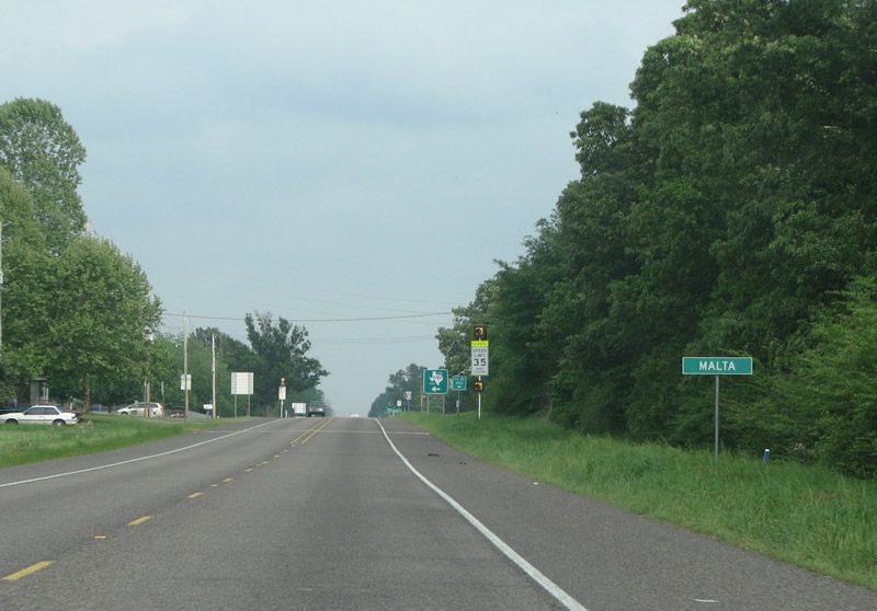
Texas signs unincorporated communities with a simple sign like this one at Malta. Malta has about 200 people and was named for Malta, Illinois, where some early settlers came from. Photo taken 04/25/08. |
|
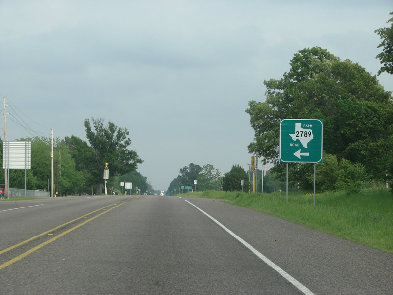
FM 2789 runs north through some oil fields and forested areas. Photo taken 04/25/08. |
|
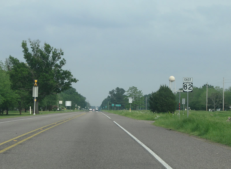
US 82 eastbound through Malta. Photo taken 04/25/08. |
|
This sign reveals that Malta sits about halfway between New Boston and DeKalb. Photo taken 04/25/08. |
|
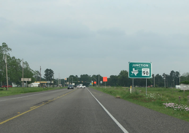
This large green sign sits just west of IH 30 and New Boston. Photo taken 04/25/08. |
|
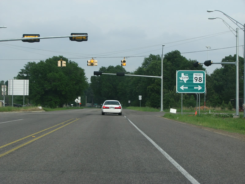
This marks the northern end of SH 98, which is a short state route that runs south to US 67. Photo taken 04/25/08. |
|
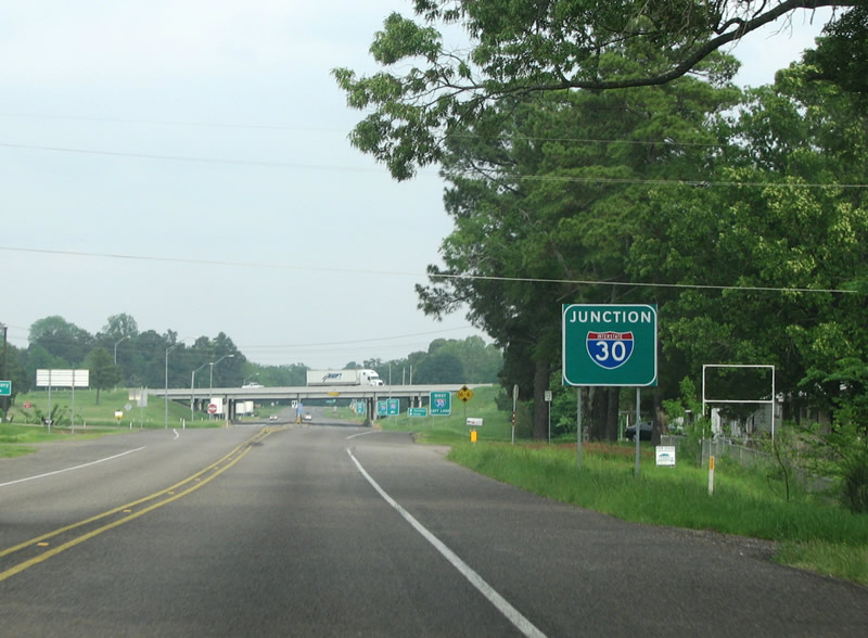
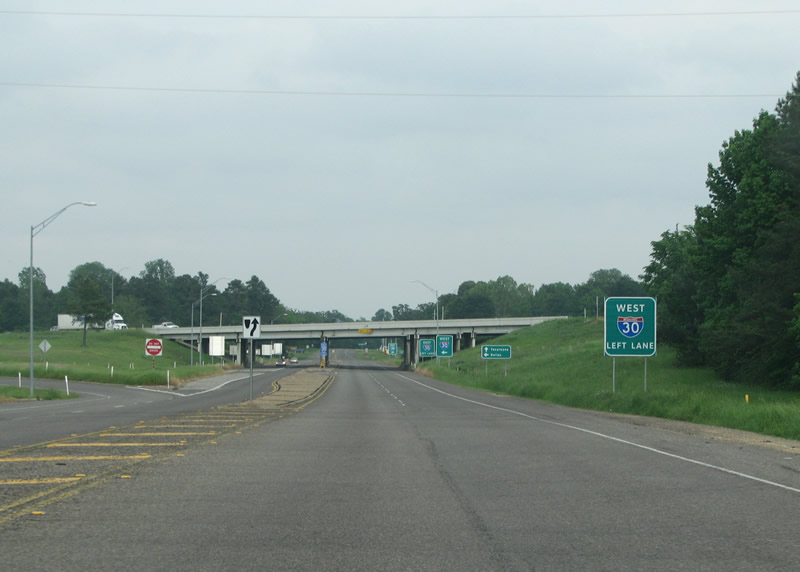
The next major intersection along US 82 is IH 30. Photo taken 04/25/08. |
|
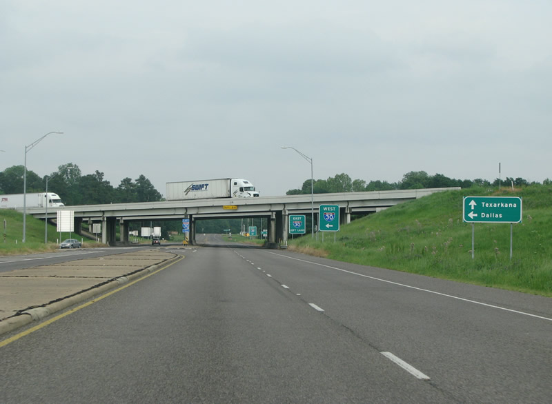
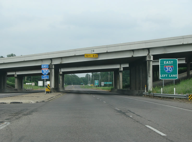
US 82 meets IH 30 at a folded diamond interchange. Thus, both turns from the US highway are to the left. Photo taken 04/25/08. |
|
|
The westbound on-ramp carries drivers toward Mount Pleasant, Sulphur Springs, and Greenville along the 145-mile drive to Dallas. Interstate 30 continues 21 miles east to Texarkana otherwise. Photo taken 04/25/08. |
|
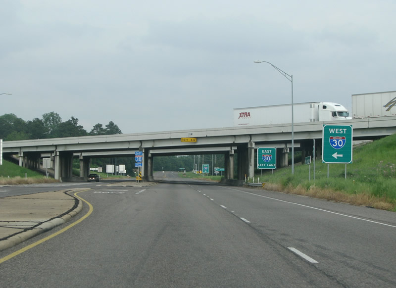
U.S. 82 eastbound passes underneath Interstate 30 ahead of the eastbound on-ramp. Both highways continue east into the nearby town of New Boston. Photo taken 04/25/08. |
Page Updated July 20, 2008.