

U.S. Highway 180 West - Palo Pinto County
02/13/09 photos taken by Justin Cozart.
| U.S. 180 West | |
|---|---|
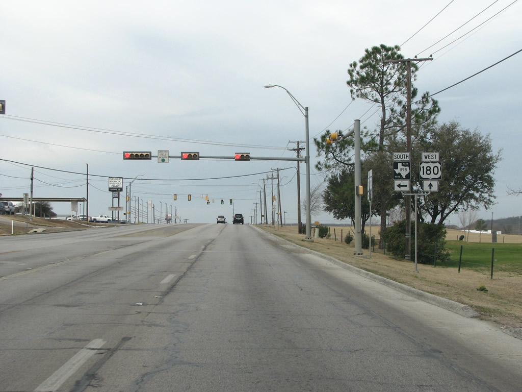 |
Just west of the Parker County line on the east side of town US 180 meets FM 1195 which runs south and west to US 281 as a type of bypass. Photo taken 02/13/09. |
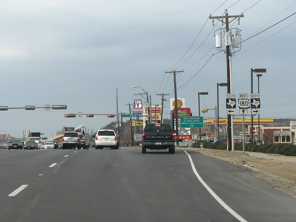 |
FM 1821 is the main north/south route on the east side of town, and the intersection here features many different chain establishments. Photo taken 02/13/09. |
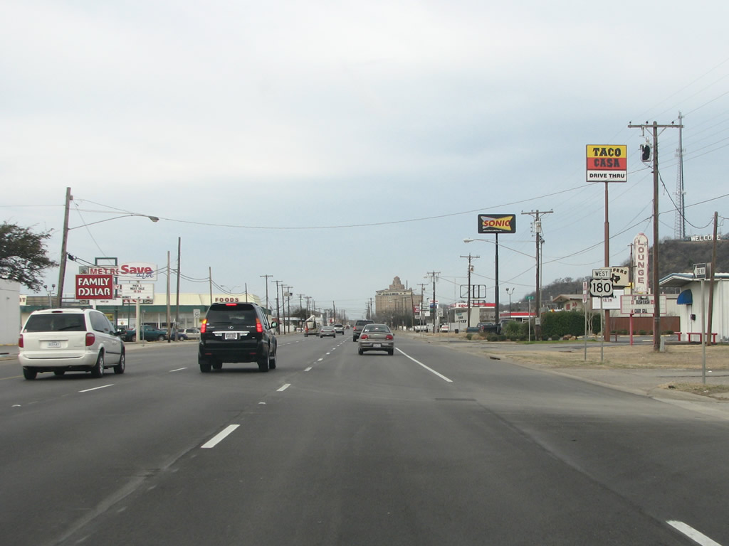 |
A US 180 westbound reassurance marker in Mineral Wells. Photo taken 02/13/09. |
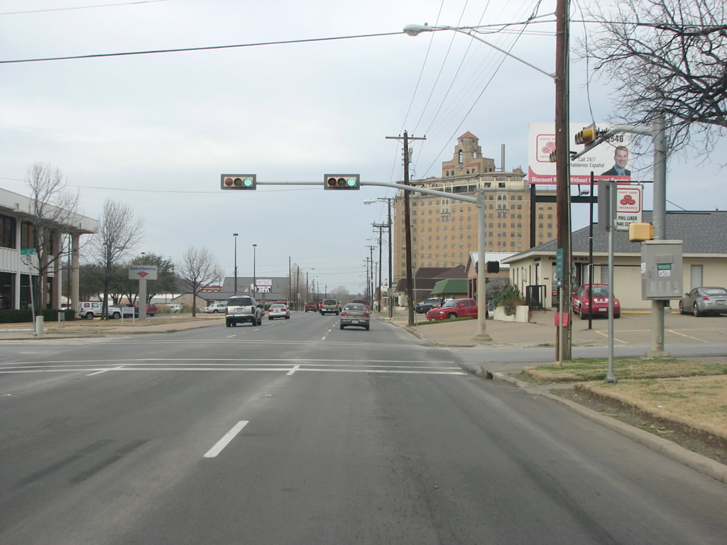 |
The Baker Hotel is the tall building in the background here. The hotel, which opened just two weeks after the stock market crash of 1929, was left closed and abandoned in 1972 and has sat empty since. Supposedly it is haunted. Photo taken 02/13/09. |
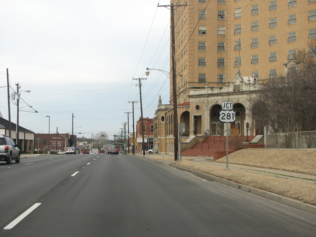 |
US 180 prepares to meet US 281 in downtown Mineral Wells, as the road has split into a one-way couplet. Photo taken 02/13/09. |
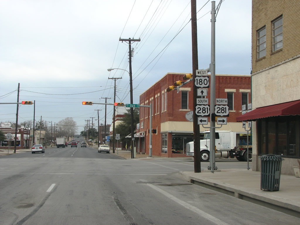 |
US 180 westbound at US 281 in Mineral Wells. US 281 runs north from San Antonio as a freeway and through the Texas hill country as a bucolic rural highway. It continues north from here to Wichita Falls. Photo taken 02/13/09. |
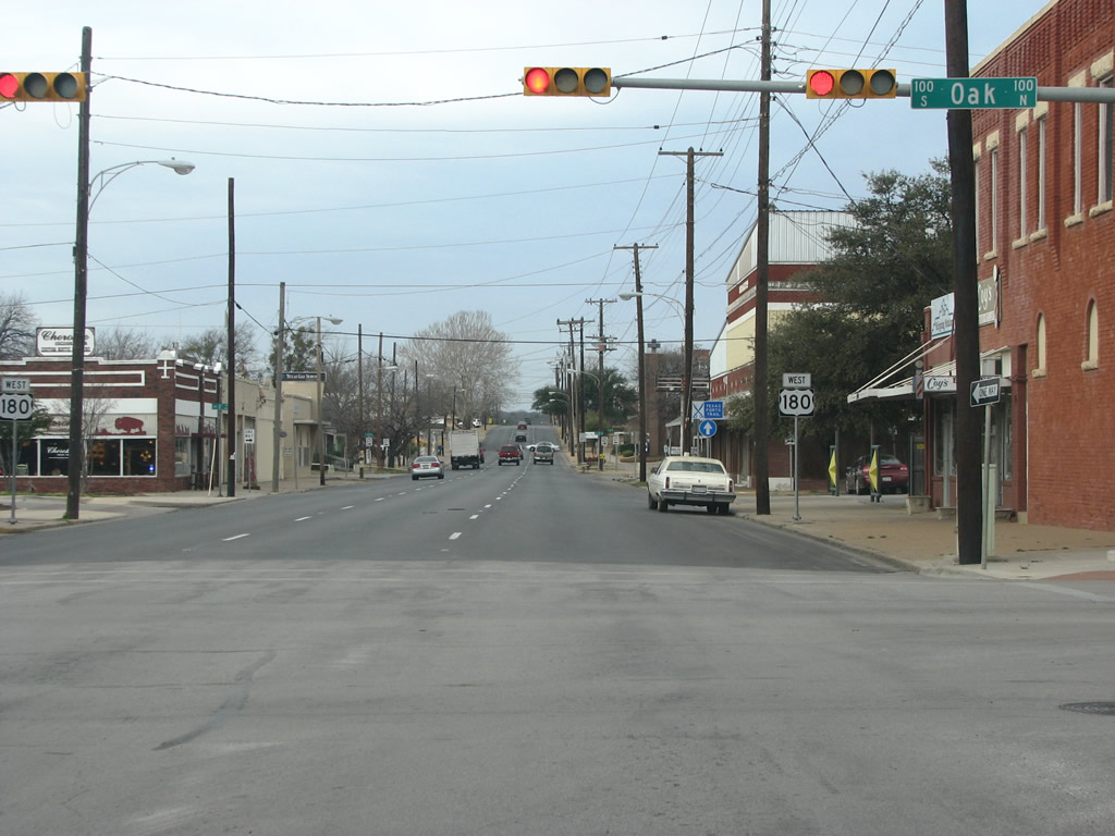 |
US 180 quickly leaves Mineral Wells after US 281, as most of the town has sprawled to the east. Photo taken 02/13/09. |
 |
 |
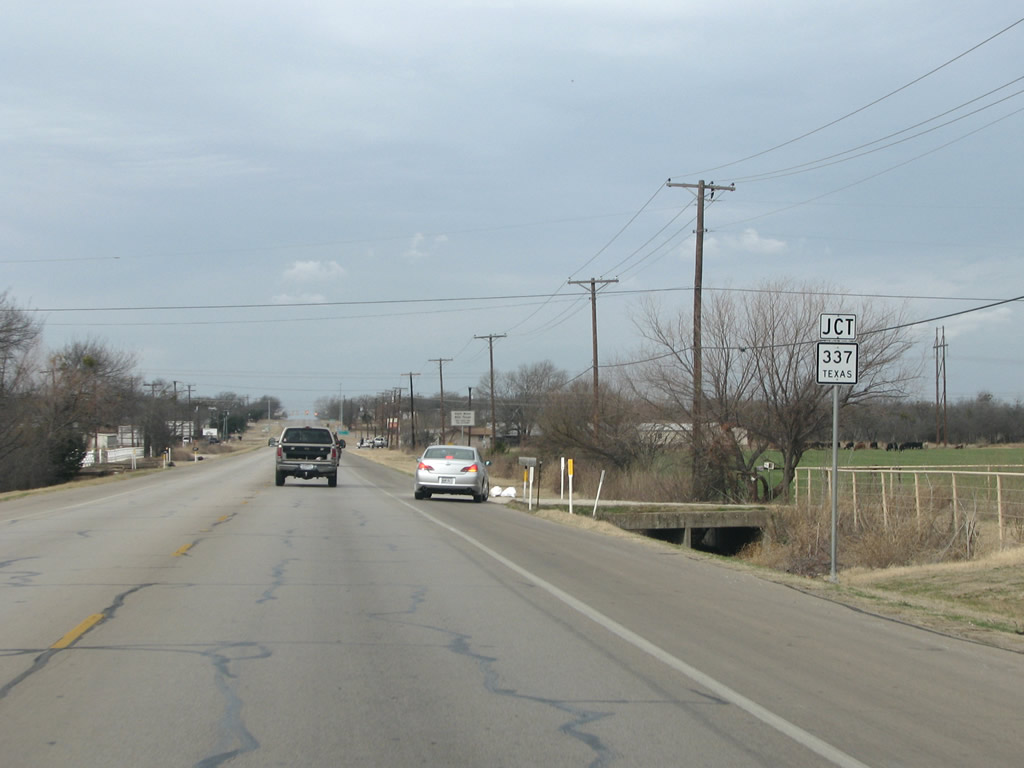
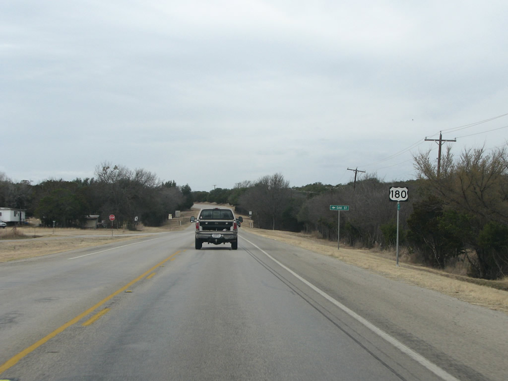
West of town, US 180 meets SH 337. Texas 337 connects Mineral wells with Texas 16 and Graford. Photos taken 02/13/09. |
 |
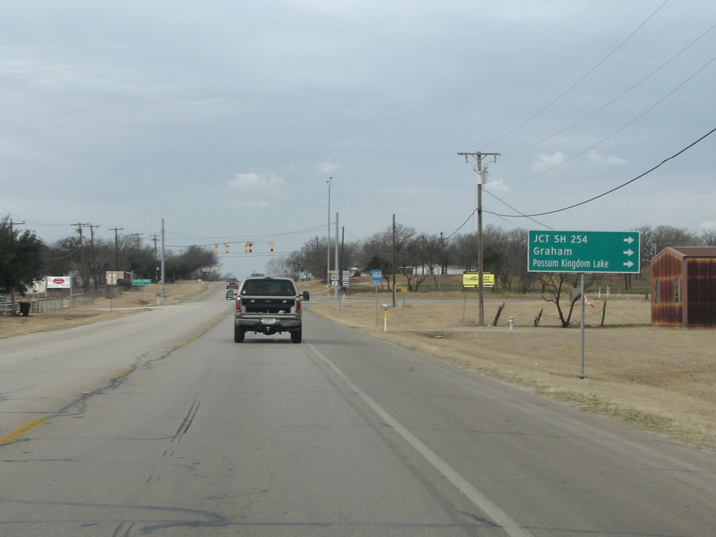
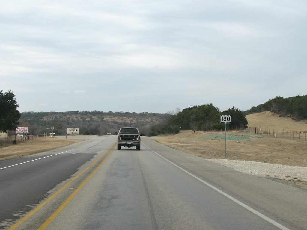
SH 337 is a 21 mile long state highway that runs north to SH 254 and provides an important route for the Possum Kingdom Lake resort and tourism area. Photo taken 02/13/09. |
 |
The community here, called Brazos Valley School, sees US 180 as its main street. Photo taken 02/13/09. |
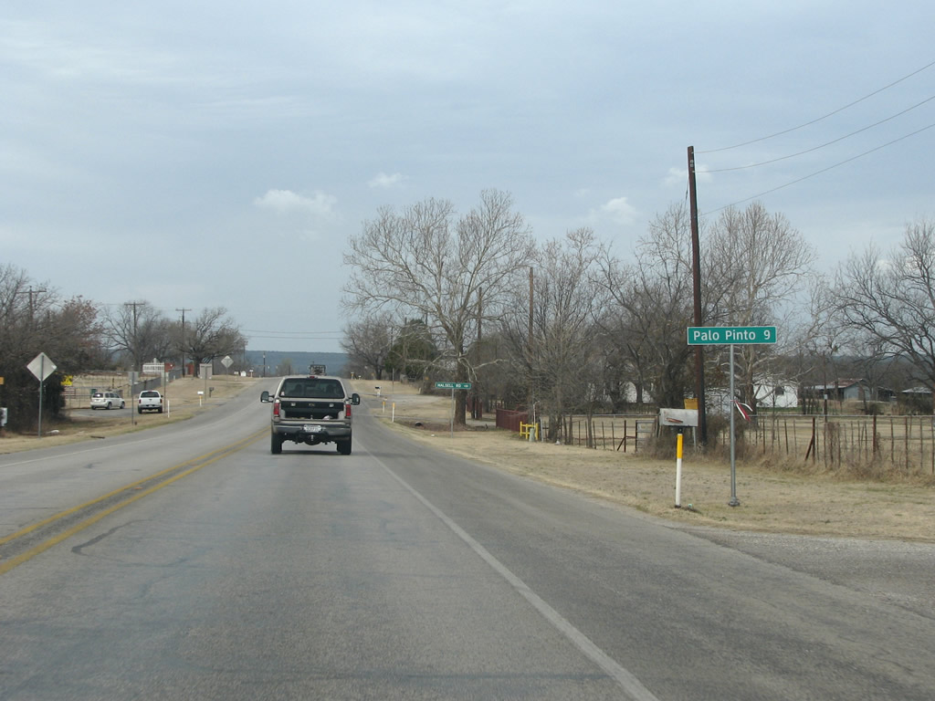 |
The only other community that US 180 sees within Palo Pinto County is the county seat bearing the same name. Palo Pinto is Spanish for "painted stick" and the county and town were named after an important stream in the area. Photo taken 02/13/09. |
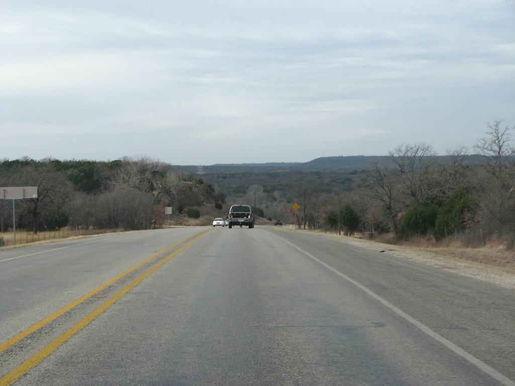 |
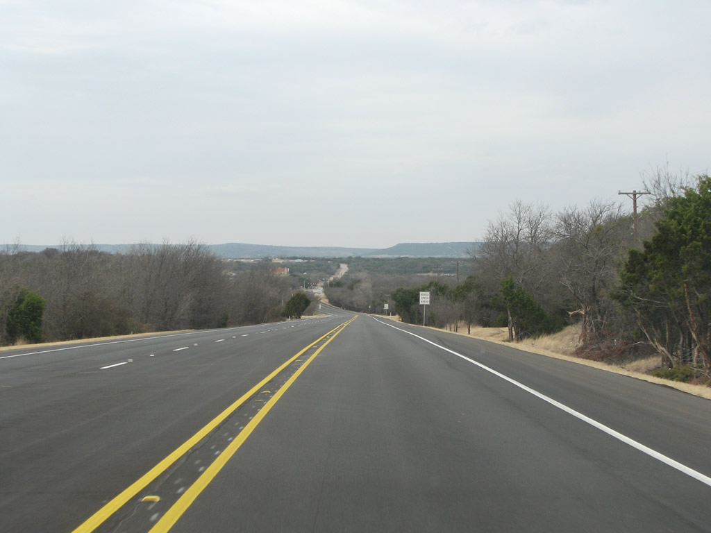
US 180 still traverses the gentle Palo Pinto hills here. They are nice to look at from the road and remind the driver that Texas is not all-together that flat. Photo taken 02/13/09. |
 |
US 180 crosses the Brazos River, arguably the most important river in Texas. The winding waterway is popular with tourists in the summer and most of it is open to tubing. The river continues to the Gulf of Mexico near Houston. Photo taken 02/13/09. |
 |
US 180 west of the Brazos. Photo taken 02/13/09. |
 |
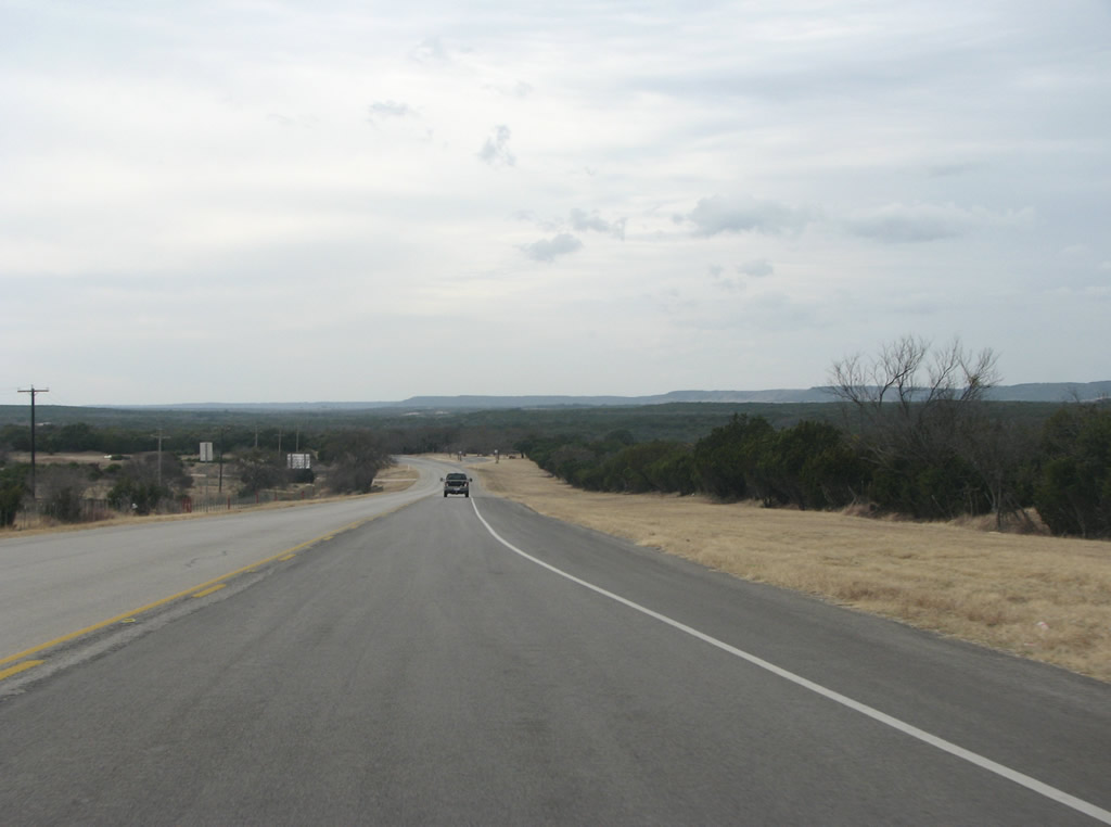
The road is mostly two lanes and in several spots passing lanes are featured. Photo taken 02/13/09. |
 |
A view of the Palo Pinto hills east of the county seat. Better views can be had to the left side of westbound traffic. Photo taken 02/13/09. |
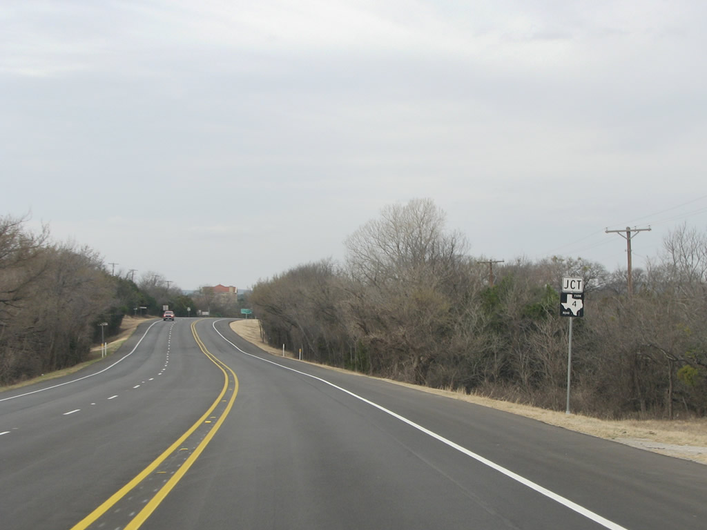 |
Before reaching Palo Pinto, US 180 meets FM 4. Photo taken 02/13/09. |
 |
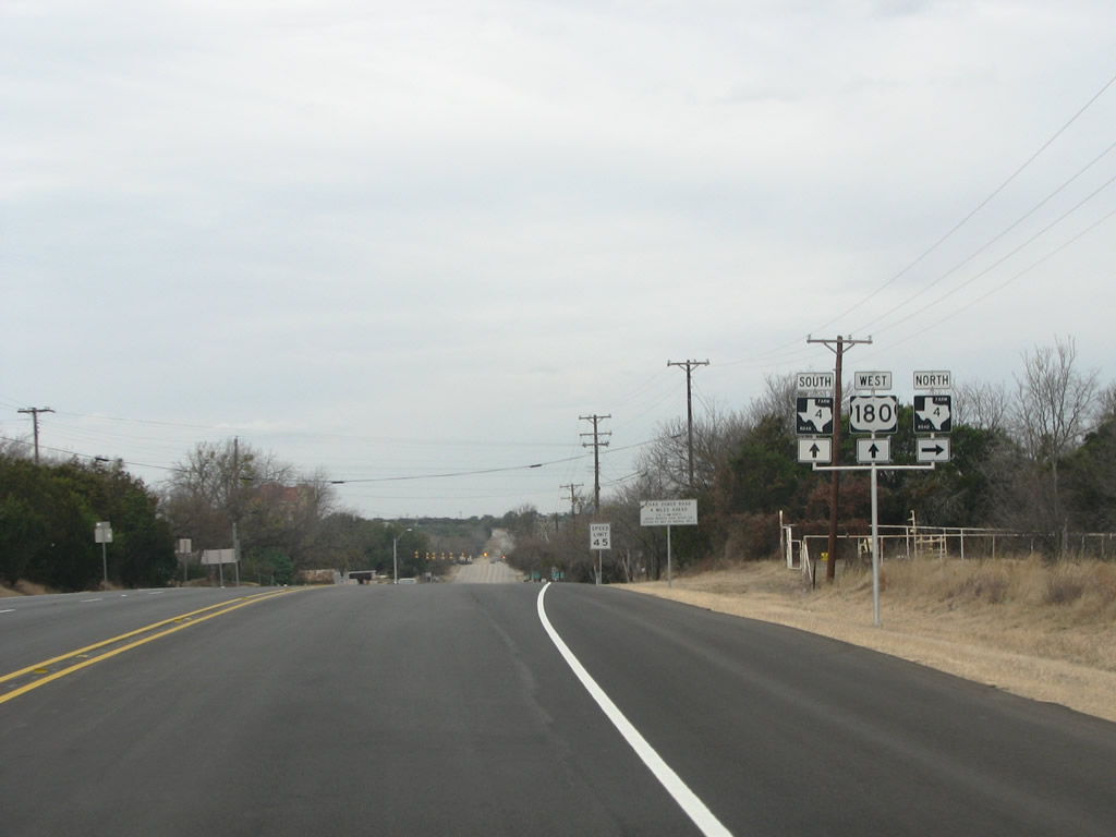 |
US 180 enters Palo Pinto here, as FM 4 runs north to Graford and through rural areas east of the large Possum Kingdom Lake (also the name of a famous Toadies song, they were from around here). Photos taken 02/13/09. |
 |
US 180 and FM 4 run through the tiny hamlet of Palo Pinto, with the county courthouse on the left. That law that states that Texas' county seats must be within 5 miles of the center of the county was enforced here. The vast majority of the county's population lives in Mineral Wells, but the seat is stubbornly placed here, way out in the rural area of the county. Photo taken 02/13/09. |
 |
FM 4 runs south from here to IH 20. Photo taken 02/13/09. |
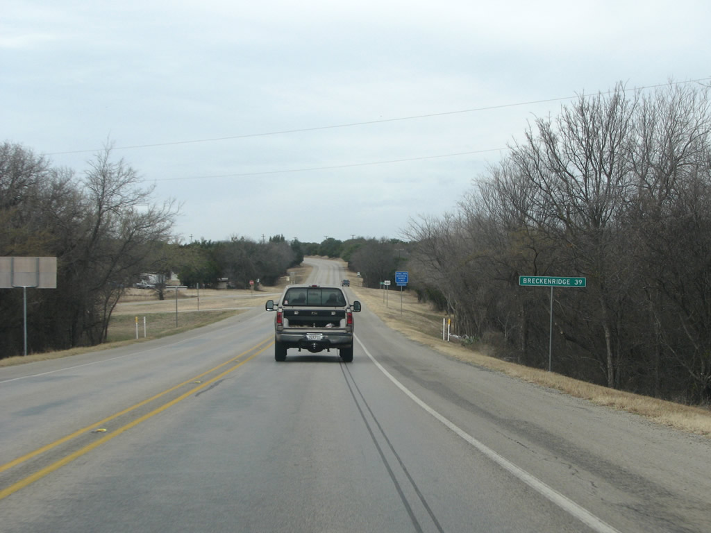 |
There are no services or towns until Breckenridge, the next county seat, about 40 miles distant. Photo taken 02/13/09. |
 |
A US 180 westbound reassurance marker west of Palo Pinto. Photo taken 02/13/09. |
 |
US 180 westbound sees more views of the low hills which make up this part of Texas. Beyond the hills, and about 1,000 feet up, sit the great plains. Photo taken 02/13/09. |
 |
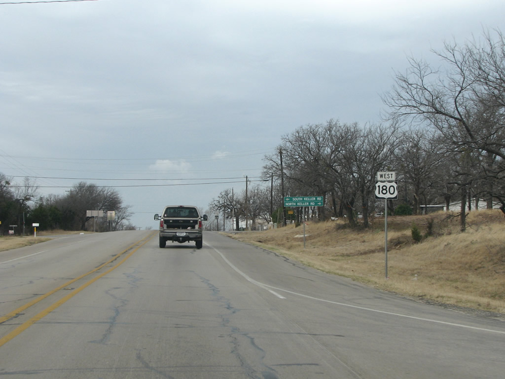
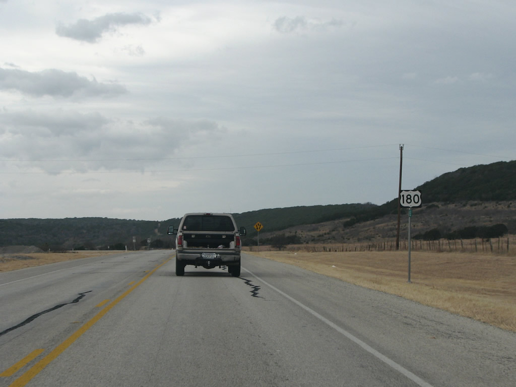
US 180 westbound at FM 919, which runs south to the town of Gordon and IH 20. Photo taken 02/13/09. |
 |
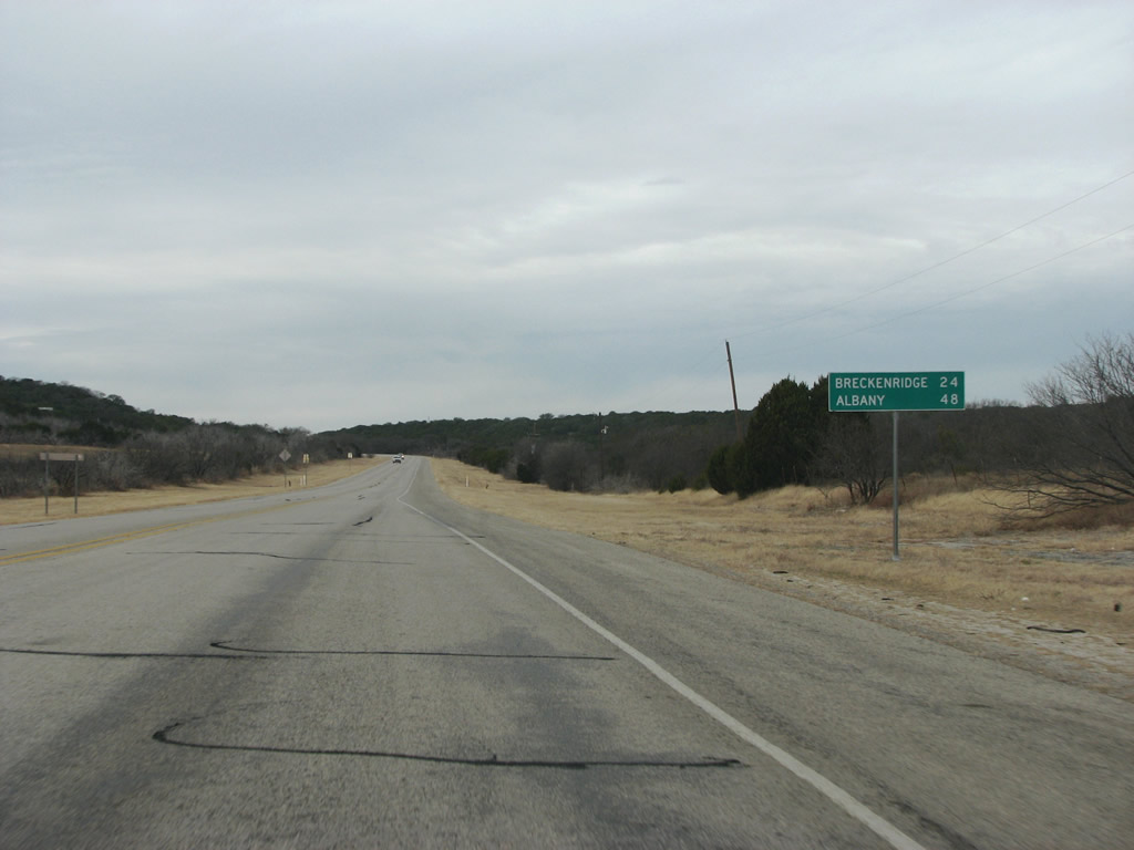
A mileage sign from Breckenridge, about 30 miles away. Albany is the next town after Breckenridge and is another county seat. Photo taken 02/13/09. |
 |
US 180 westbound west of Palo Pinto. The edge of the plains makes its way ever closer to the road through here. Photo taken 02/13/09. |
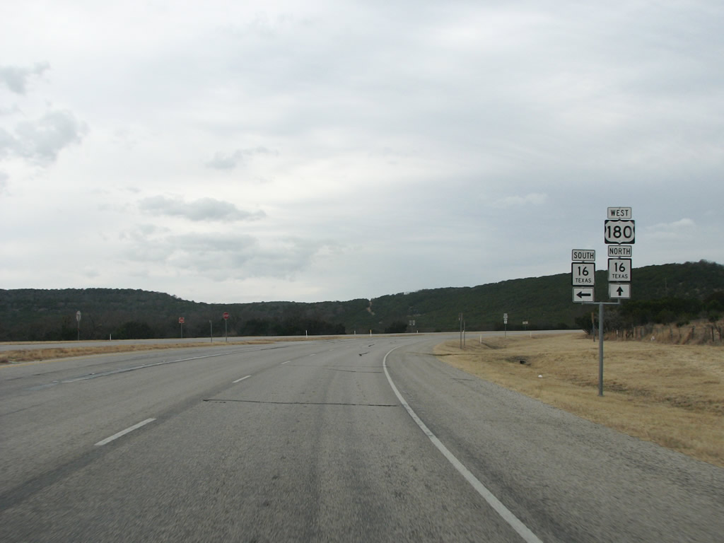 |
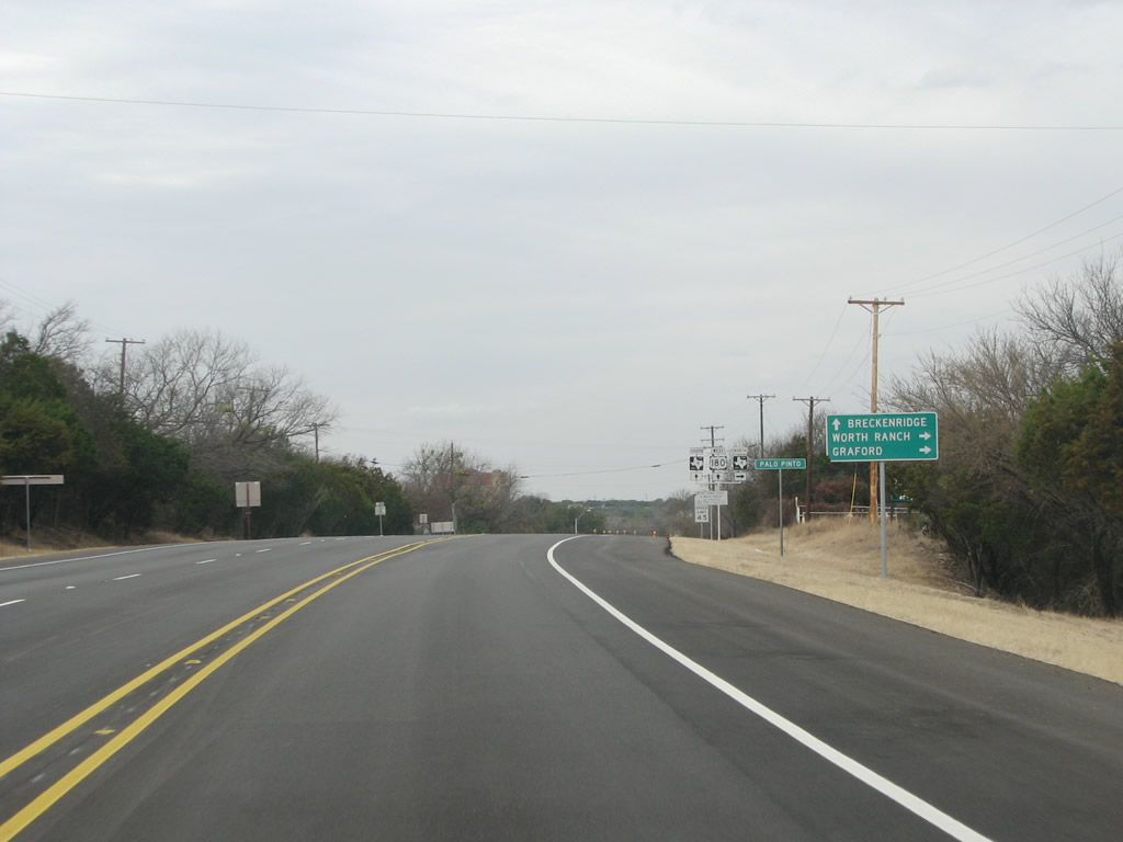
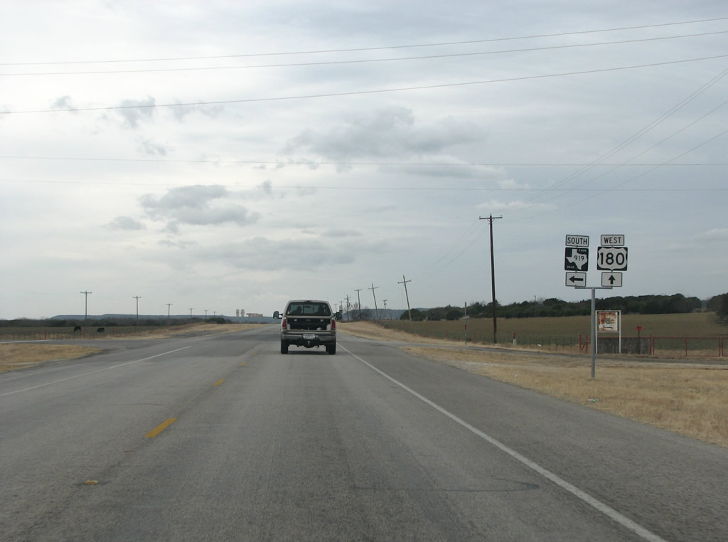
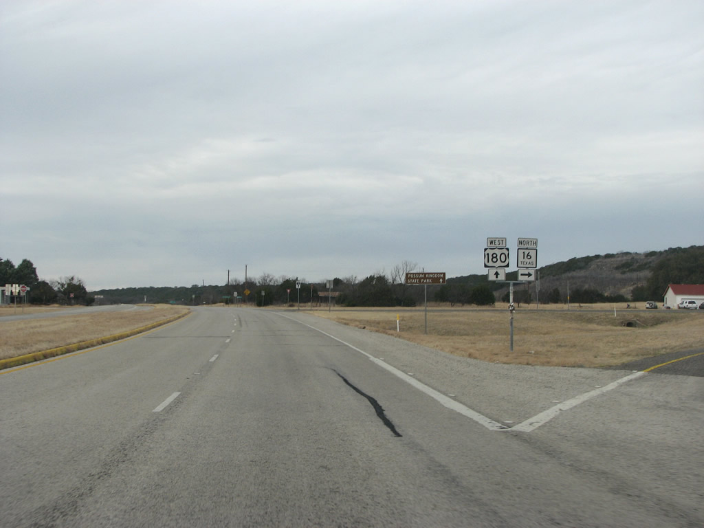
As it nears the hill edge, US 180 meets SH 16. SH 16 is one of the longest and most important state highways in Texas and runs north from San Antonio west of US 281. US 180 and SH 16 have a brief overlap through here. Photo taken 02/13/09. |
 |
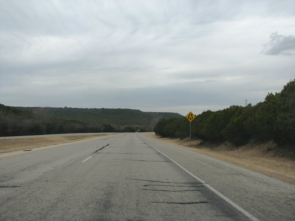 |
US 180 begins its climb up to the plains through the Metcalf Gap, located in the western part of Palo Pinto County. Photos taken 02/13/09. |
 |
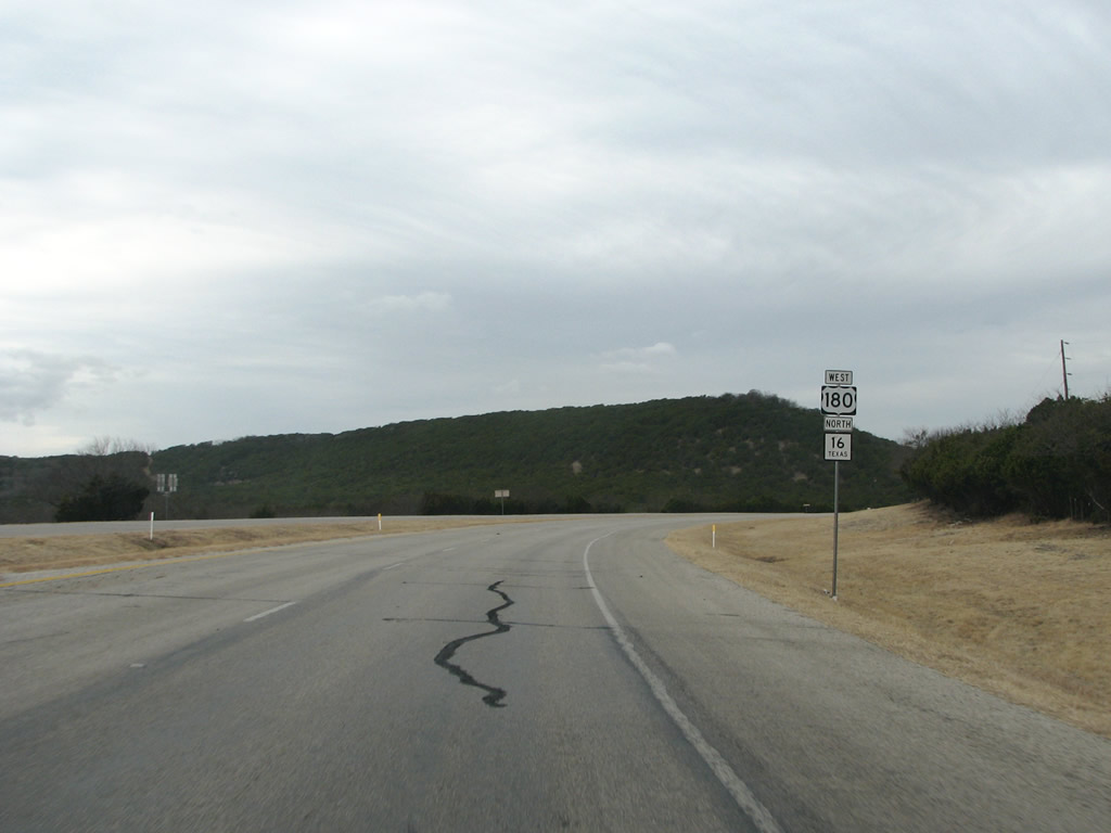
US 180 and SH 16 continue to be overlapped for about 7 miles through here. The road climbs incessantly as it nears the top of the hills. Photo taken 02/13/09. | |
 |
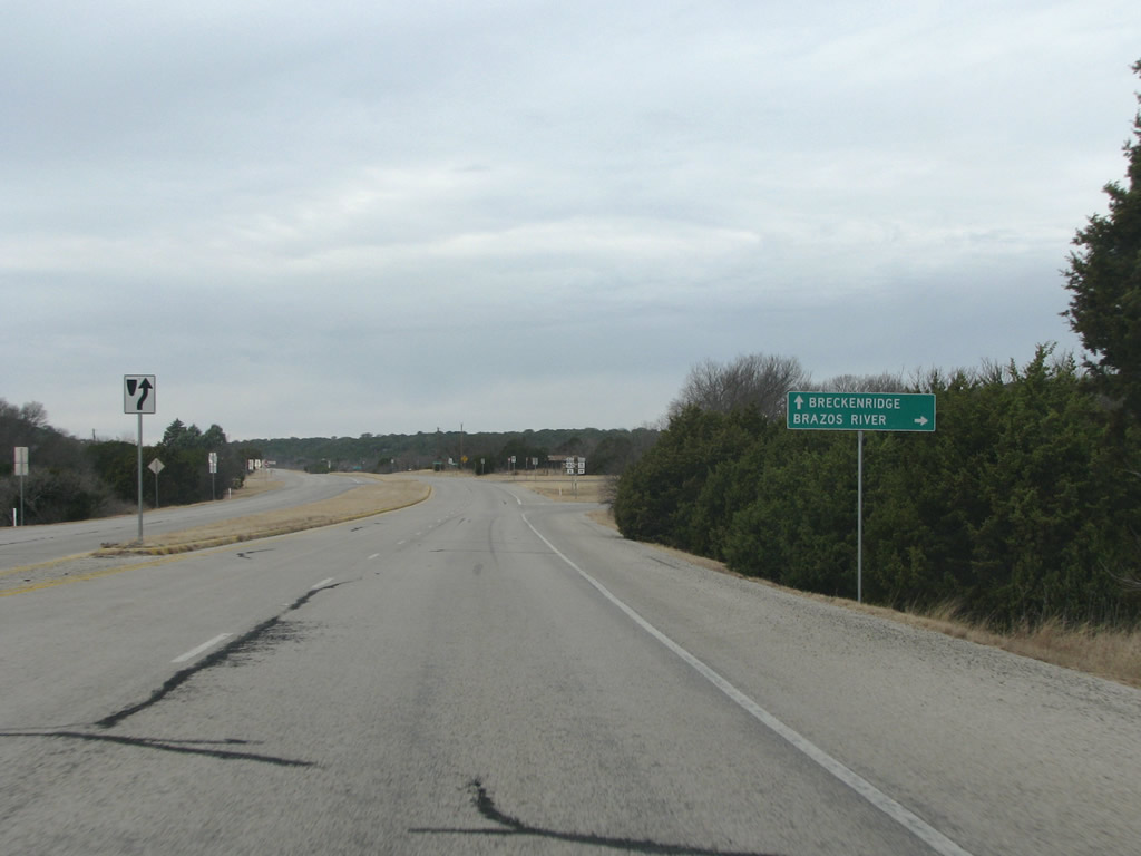 |
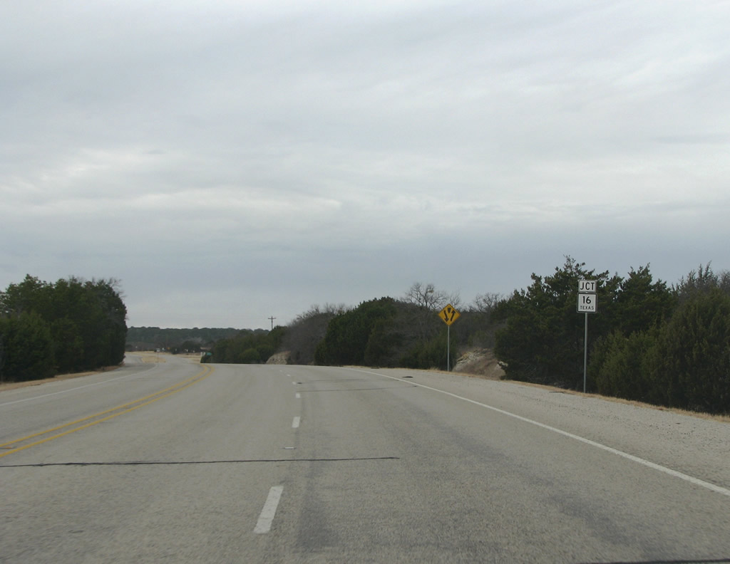
Lacking a better control point, northbound SH 16 is simply shown as going towards the Brazos River. It forms another route to the Possum Kingdom Lake resort area, as well. Photos taken 02/13/09. |
 |
SH 16 continues north past the lake to Graham, US 281, and the Wichita Falls area. Photo taken 02/13/09. |
 |
US 180 retains two lanes going each direction as it runs through the ghost town of Brad. Photo taken 02/13/09. |
 |
West of Brad, the road goes back to a quiet two lanes. |
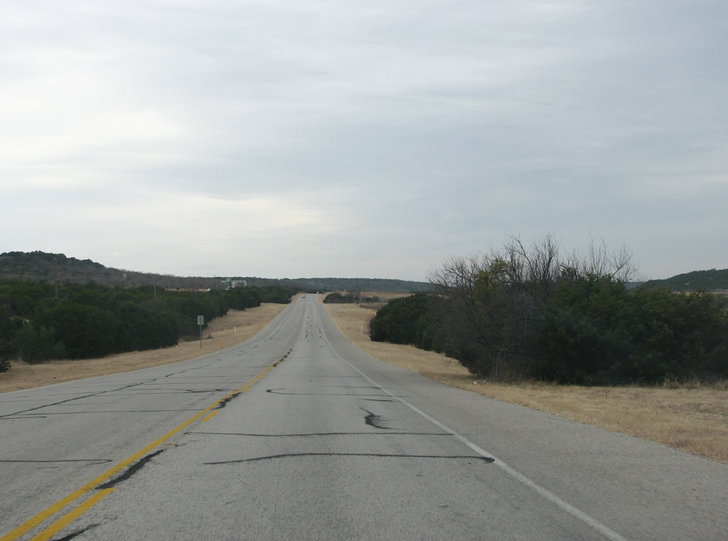 |
The terrain flattens out here as the landscape transitions between the Palo Pinto hills and the great plains. |
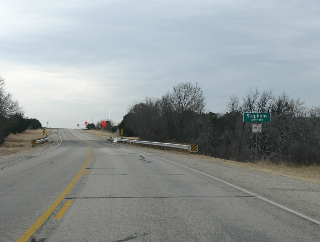 |
Stephens County has an interesting etymology. It was originally named Buchanan County, for President James Buchanan. However, during the civil war, it was renamed after Alexander Stephens : the vice president of the Confederacy. The author wonders how many people living in the county actually know that. |


Page Updated February 26, 2009.
|
About Contact FAQ |
Spotlights Interstate Guide |
Social Media:
 |
|
© 2000-25 AARoads.com | All Rights Reserved | Privacy Policy / Terms of Use
|
||