

U.S. Highway 180 West - Shackelford County
02/13/09 photos taken by Justin Cozart.
| U.S. 180 West | |
|---|---|
 |
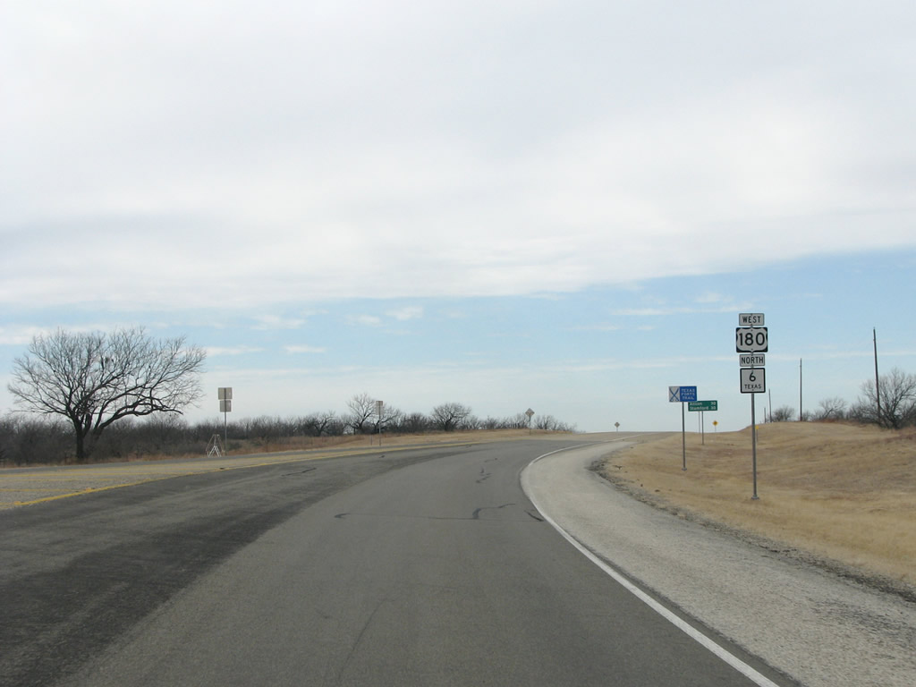
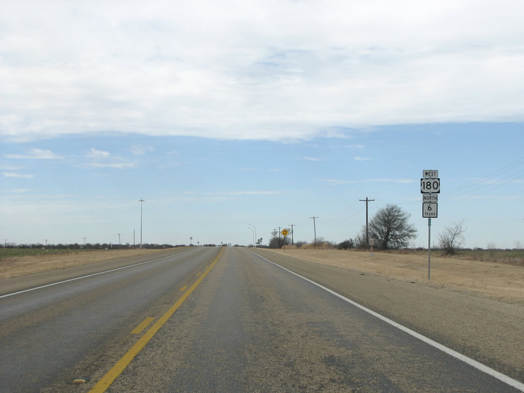
Shackelford County is mostly barren ranchland, with a flat terrain. US 180 runs through it for about 15 boring miles before reaching Albany. Photo taken 02/13/09. |
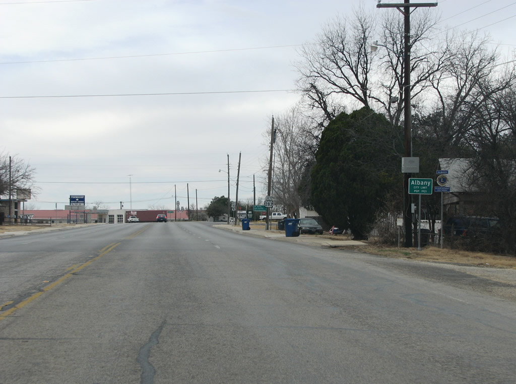 |
Albany is the only town in the county and sits near its exact center, as Texas county seats are apt to do. Albany was named for an early settler's hometown in Georgia, and became the county seat in 1884. The town is known throughout Texas for its old west flavor, and is popular with tourists and day-trippers from Abilene. Photo taken 02/13/09. |
 |
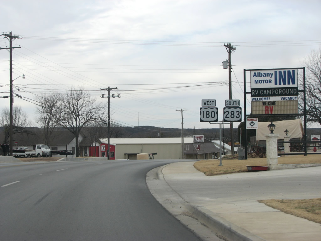
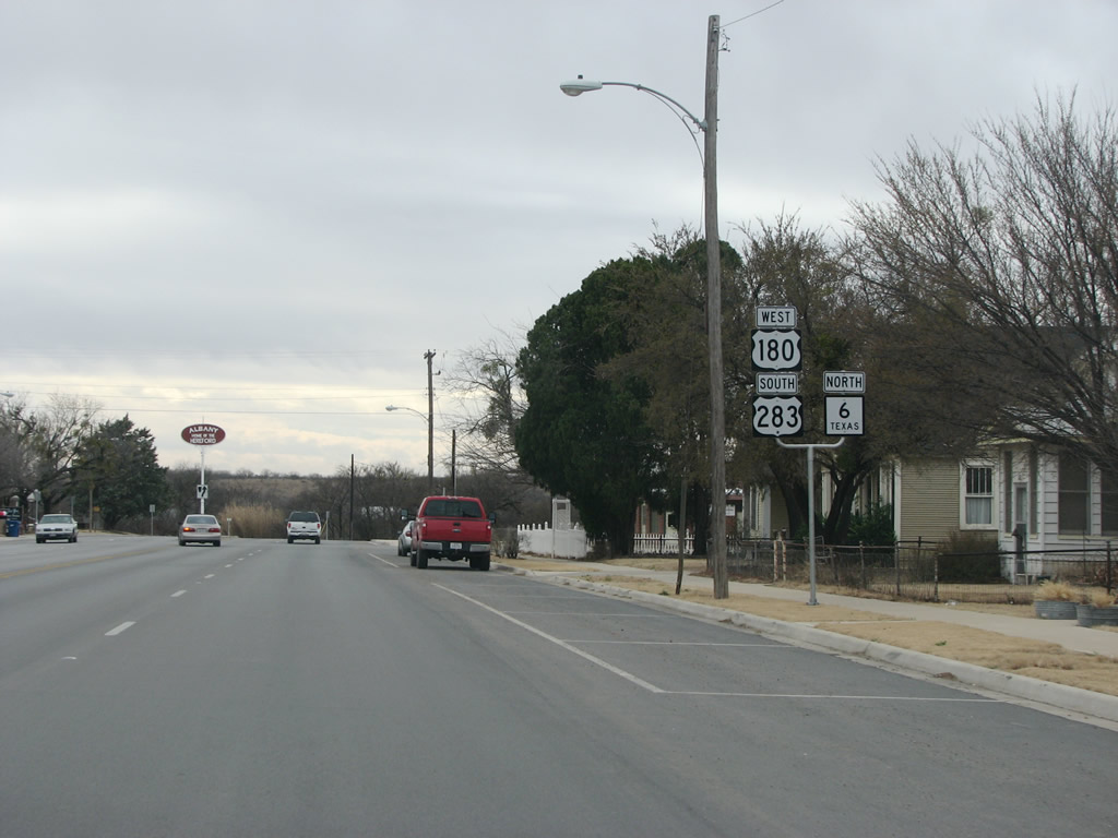
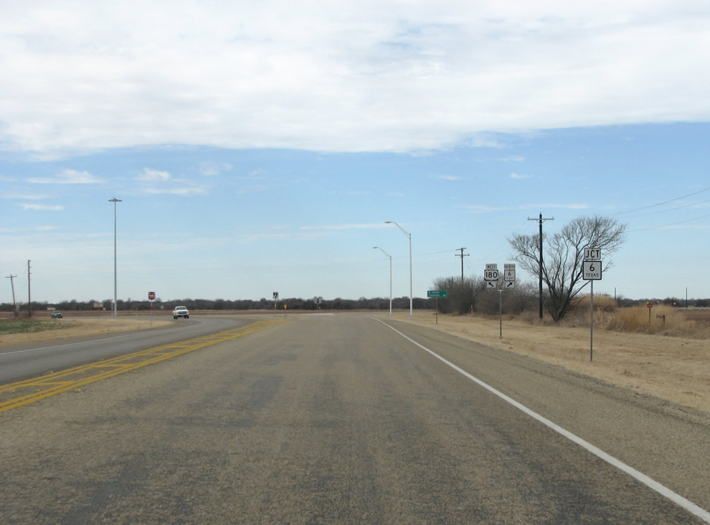
US 180 meets US 283 in Albany. Photo taken 02/13/09. |
 |
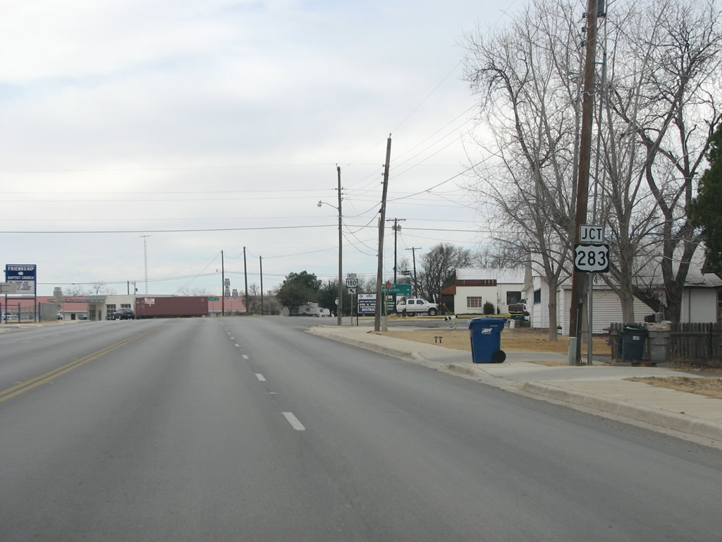
Entering town, the road takes a turn to the left as traffic can continue straight ahead to go north on US 283. Photo taken 02/13/09. |
 |
US 180 westbound at US 283 northbound in Albany. The two US highways overlap through town, very briefly. Photo taken 02/13/09. |
 |
US 180/283 route markers in Albany. Photo taken 02/13/09. |
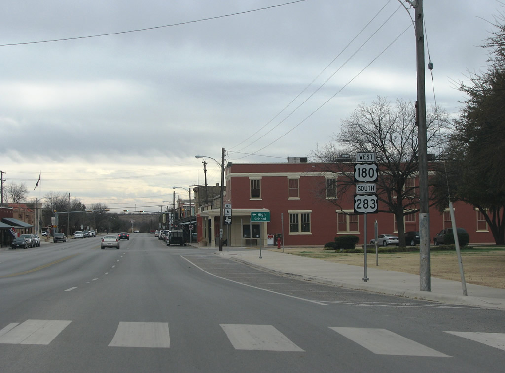 |
Downtown Albany is very historic, and contains a lot of art galleries and performance venues. The old courthouse is located on a square in the center of the town. Photo taken 02/13/09. |
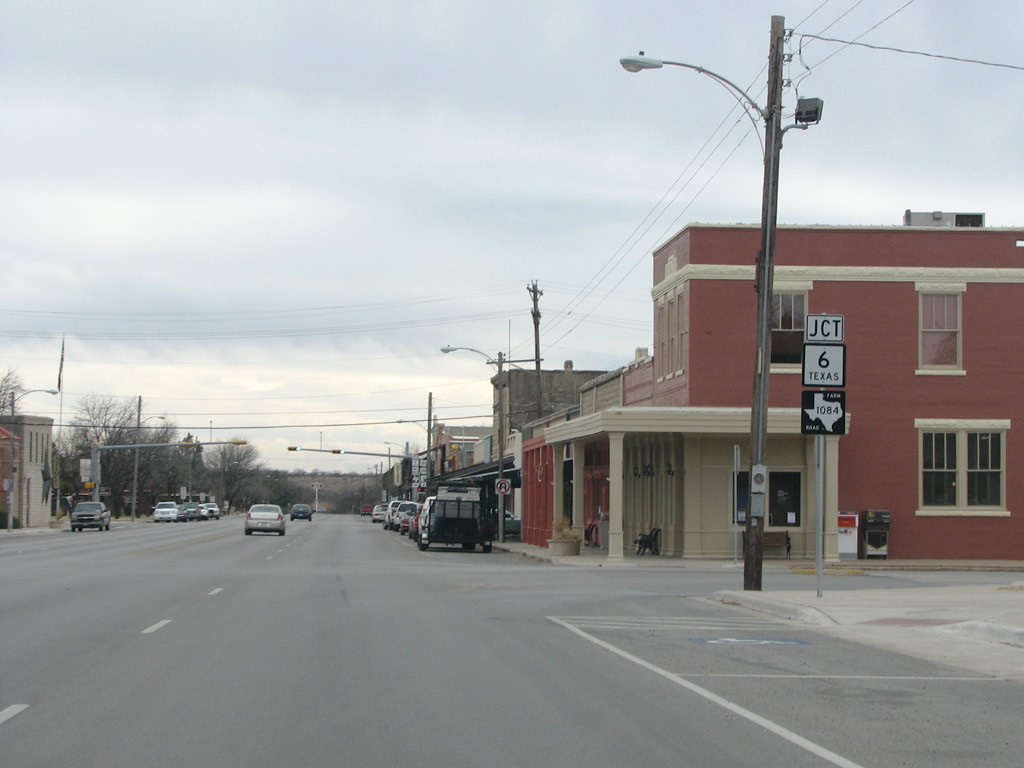 |
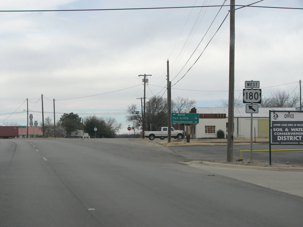
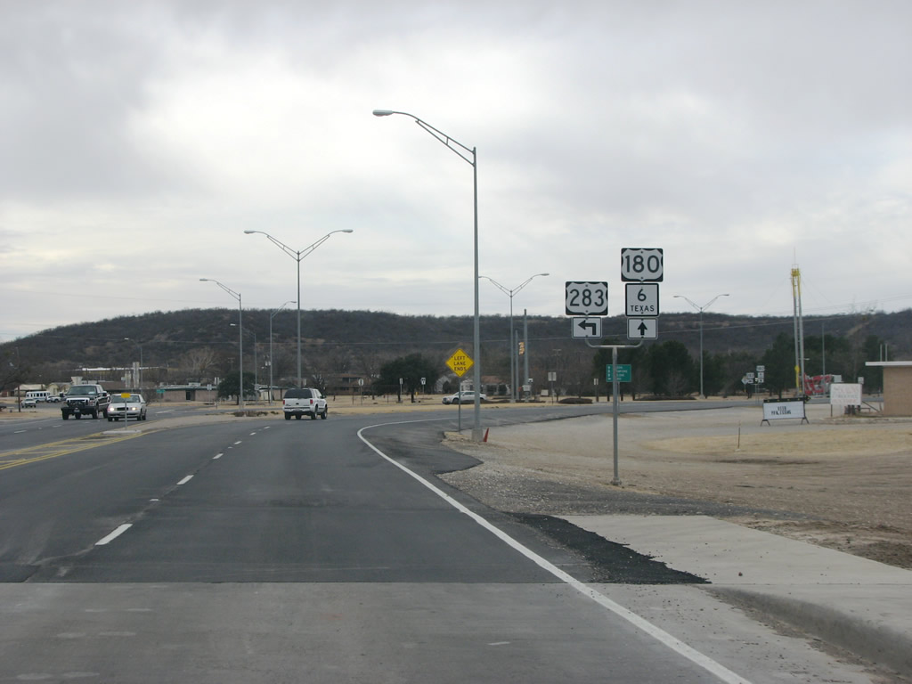
US 180/283 sees SH 6 here in the center of town. SH 6 is one of the longest state highways in Texas and continues south from here to the gulf coast near Galveston. Photo taken 02/13/09. |
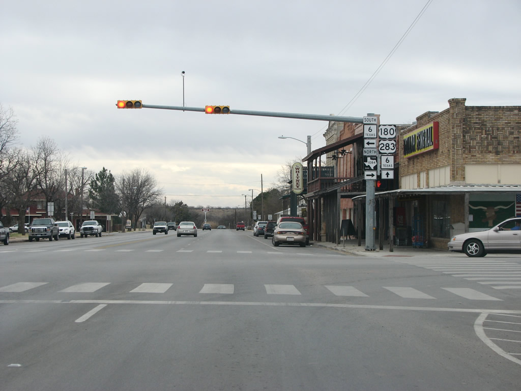 |
US 180/283 begin an overlap with SH 6 as they continue west out of Albany. FM 1084 provides service to points north of town. Photo taken 02/13/09. |
 |
US 180/283 and SH 6 overlap as they continue west out of Albany. The town bills itself as the hometown of the Hereford Cow, a point which Hereford, Texas (in the panhandle) might argue with. Photo taken 02/13/09. |
 |
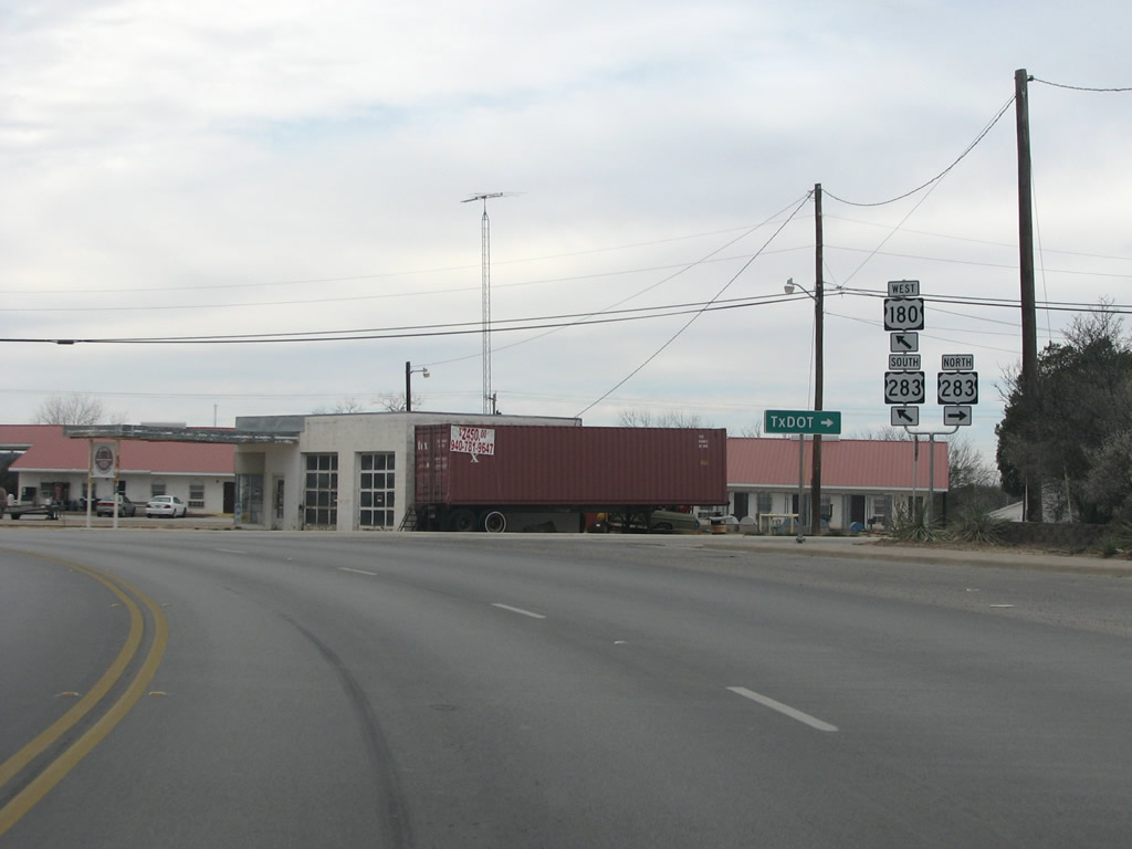
On the west side of Albany, US 283 continues south to Baird and IH 20. The US highway continues south to Brady and US 87. Photo taken 02/13/09. |
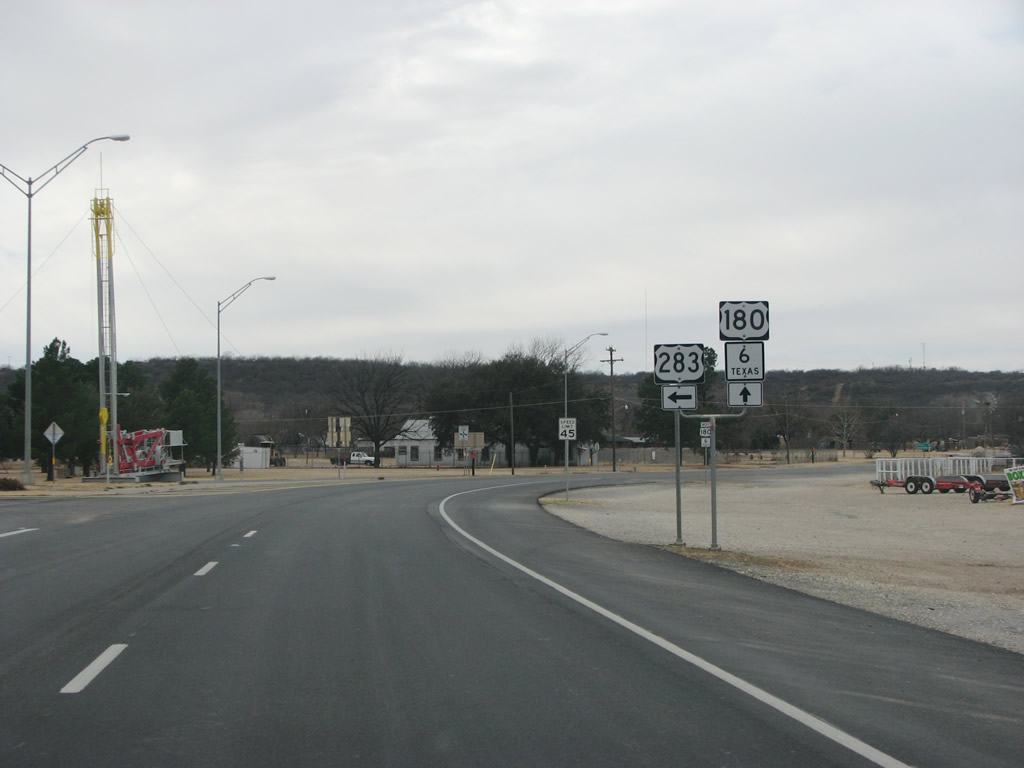 |
US 180 westbound at US 283, as it runs to the south. Notice the drilling rig in the center of the intersection. Oil was discovered in this region in 1917 and pumps are still active, although not nearly on the scale they were 80 years ago. Photo taken 02/13/09. |
 |
US 180 and SH 6 leave Albany headed west. Photo taken 02/13/09. |
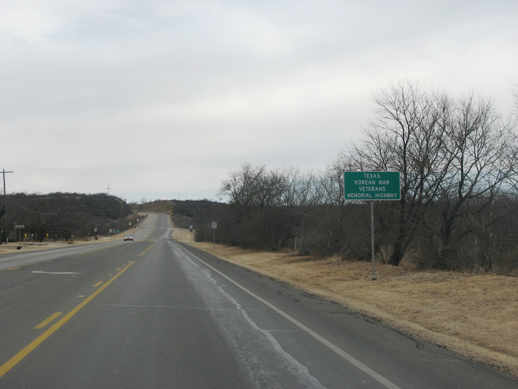 |
SH 6 is designated as the Korean War Veterans Memorial Highway, and these signs are common on the route for its entire length. The 476-mile route got the designation in 1997. Photo taken 02/13/09. |
 |
The plains begin to have a bit of rolling terrain east of town, as is seen here. Photo taken 02/13/09. |
 |
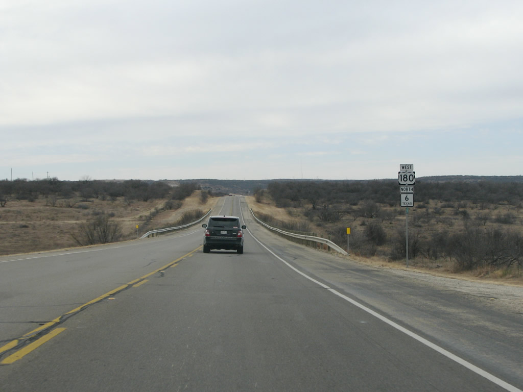
There is not much in the way of human habitation west of Albany, just a few reassurance marker assemblies like this and very few houses or other signs of people. Photo taken 02/13/09. |
 |
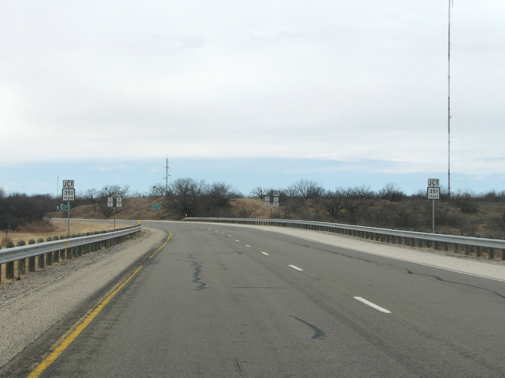 |
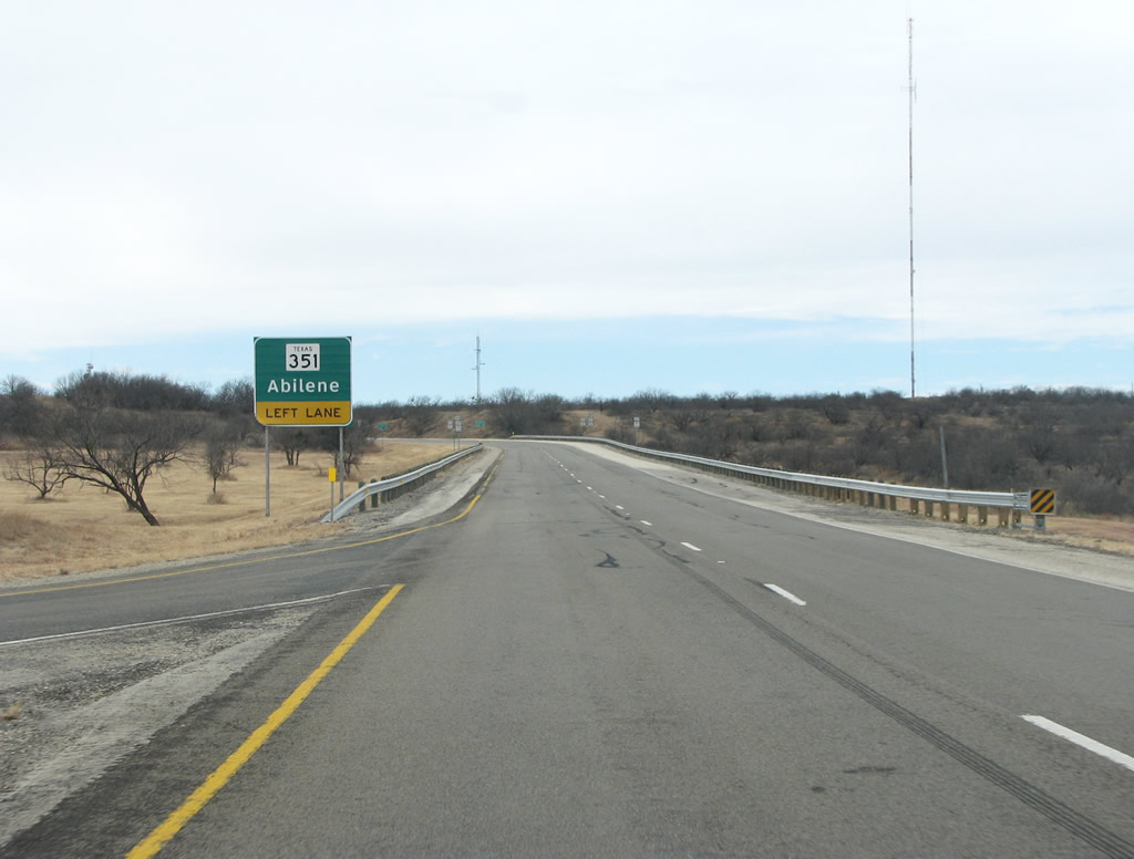
SH 351 meets US 180/SH 6 here in far western Shackelford County. The road runs due southwest to meet IH 20 and Abilene. The road designation began life in the 30s as US 80 Alt, but was changed to SH 351 in 1947. Photos taken 02/13/09. |
 |
 |
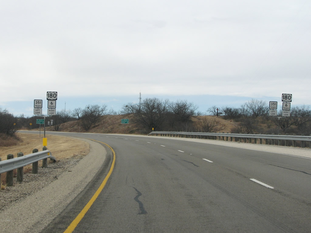
SH 351 and US 180/SH 6 meet at a grade-separated stack interchange here in the middle of nowhere. The exit for 351 is to the left here, and Abilene is only 25 miles southwest. Photos taken 02/13/09. |
 |
A view of the SH 351/US 180 split west of Albany. Photo taken 02/13/09. |
 |
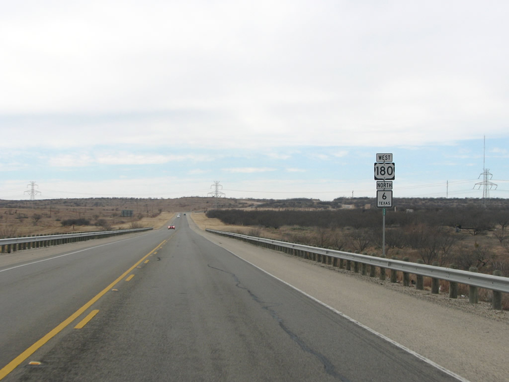
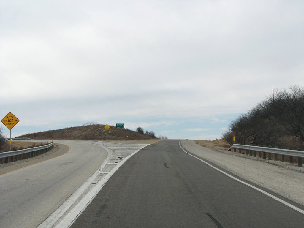
US 180 and SH 6 continue their journey through ranchland past the relatively exciting junction with SH 351. Photo taken 02/13/09. |
 |
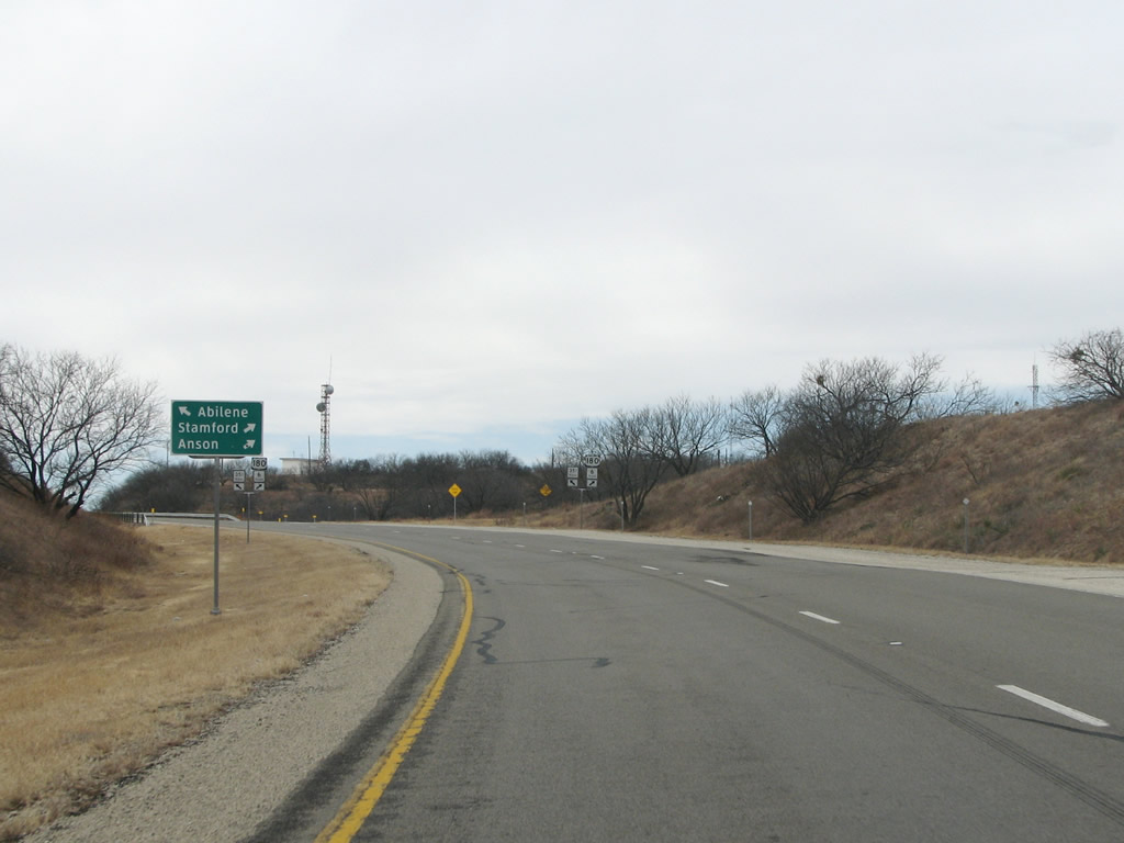
Anson, the county seat of Jones County (named for early Texas president Anson Jones) is 30 miles beyond this sign. There are no towns in between the two points. Photo taken 02/13/09. |
 |
A US 180 / SH 6 reassurance marker assembly east of Anson. Photo taken 02/13/09. |
 |
 |
US 180 and SH 6 finally split here west of Albany after spending about 20 miles together. Photos taken 02/13/09. |
 |
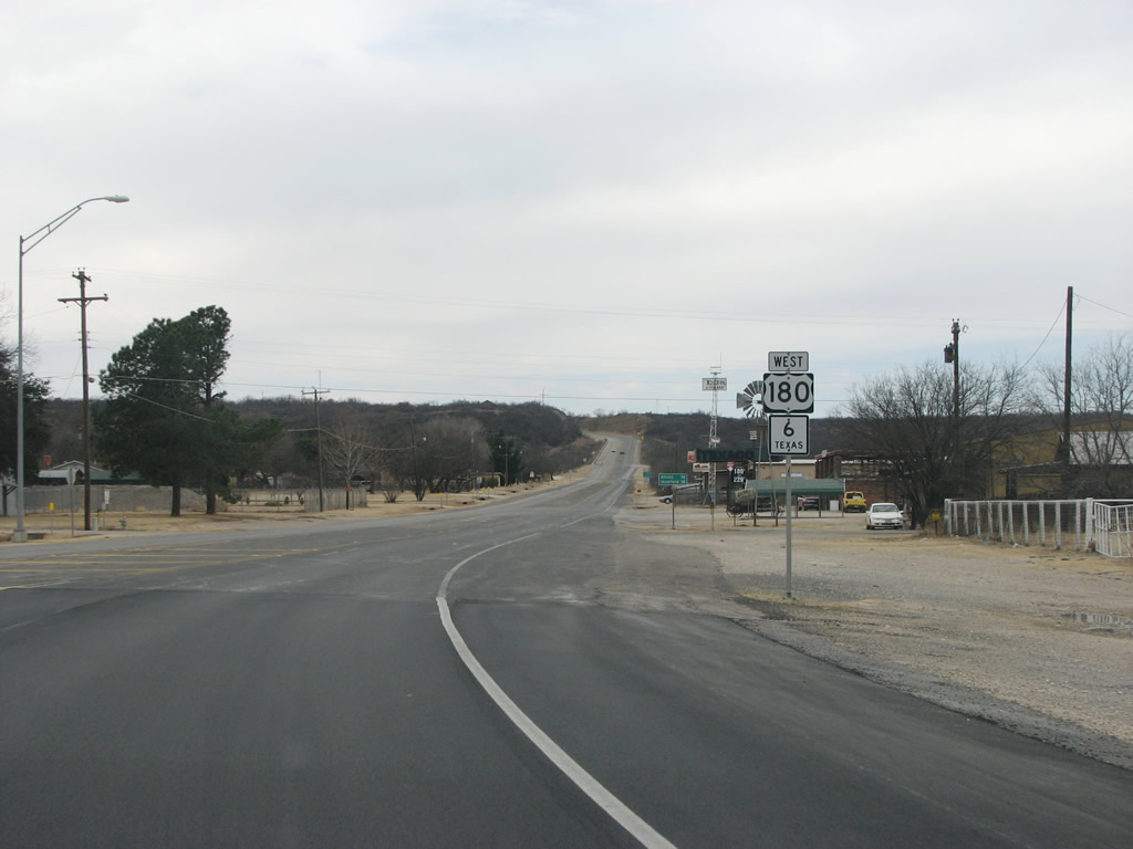
US 180 continues west from here while SH 6 runs north and eventually ends at the Oklahoma state line. Photo taken 02/13/09. | |
Page Updated February 26, 2009.
|
About Contact FAQ |
Spotlights Interstate Guide |
Social Media:
 |
|
© 2000-25 AARoads.com | All Rights Reserved | Privacy Policy / Terms of Use
|
||