
U.S. 190 West - Belton to Copperas Cove
| U.S. 190 west | |
|---|---|
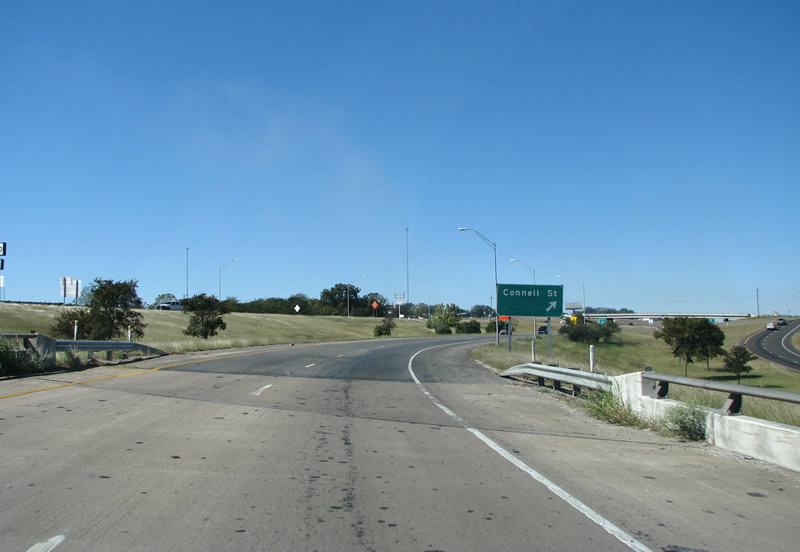
The first exit along US 190 is during the transition from IH 35 to its westbound route into Central Texas. Here in Belton, Connell Street serves the old part of town just to the north of the freeway. Photo taken 10/23/07. |
|
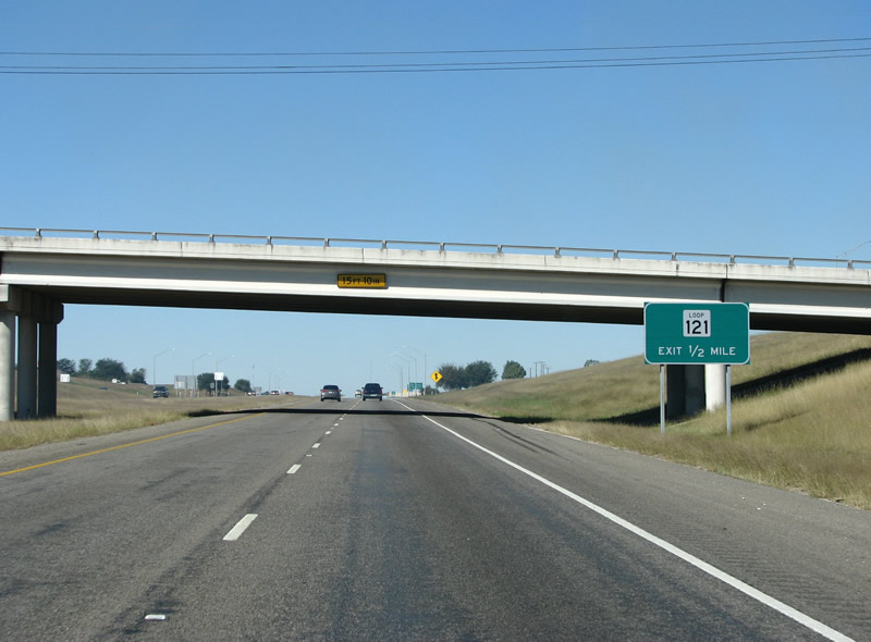
Belton's Loop 121 is the second exit along US 190 past IH 35. From here on, the road is locally known as the Central Texas Expressway, or CenTex Expressway. Photo taken 10/23/07. |
|
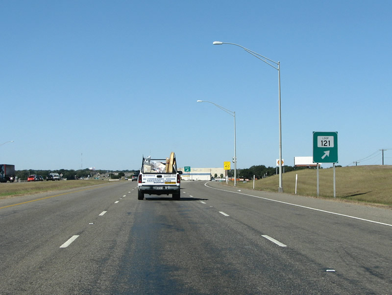
The last exit in Belton proper, Loop 121 provides a semicircular route along the west and south sides of the city - which is the Bell County seat. Photo taken 10/23/07. |
|
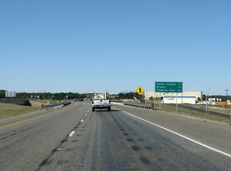
The first mileage sign indicates the 26 miles to the end of the expressway in Copperas Cove. Photo taken 10/23/07. |
|
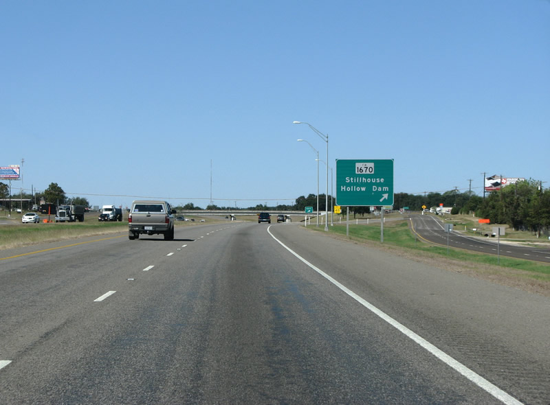
FM 1670 is the next exit along US 190 westbound. The FM road continues south to provide a route to the US Army Corps of Engineers dam at Stillhouse Hollow. The impounded lake has beautiful views of the surrounding hills and many parks along its shores. Photo taken 10/23/07. |
|
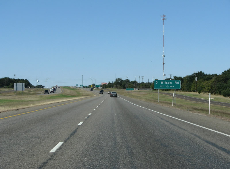
Signed as G. Wilson, the next exit is for George Wilson Rd and the tiny community of Dog Ridge. Photo taken 10/23/07. |
|
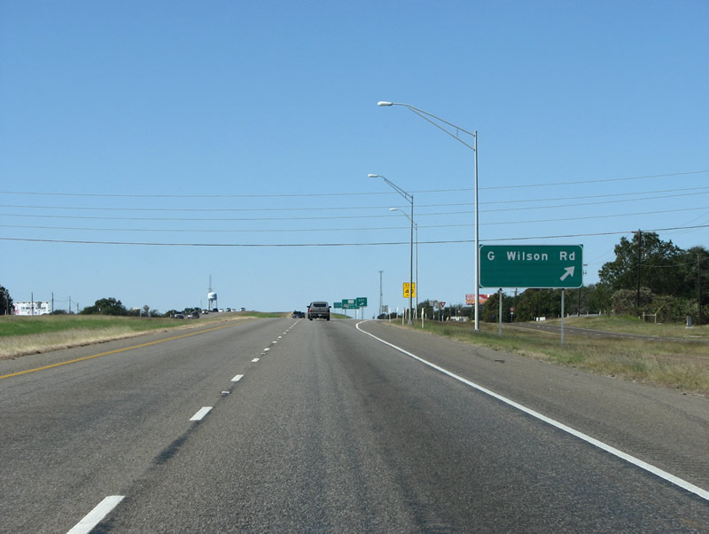
US 190 westbound at George Wilson Rd and Dog Ridge. Photo taken 10/23/07. |
|
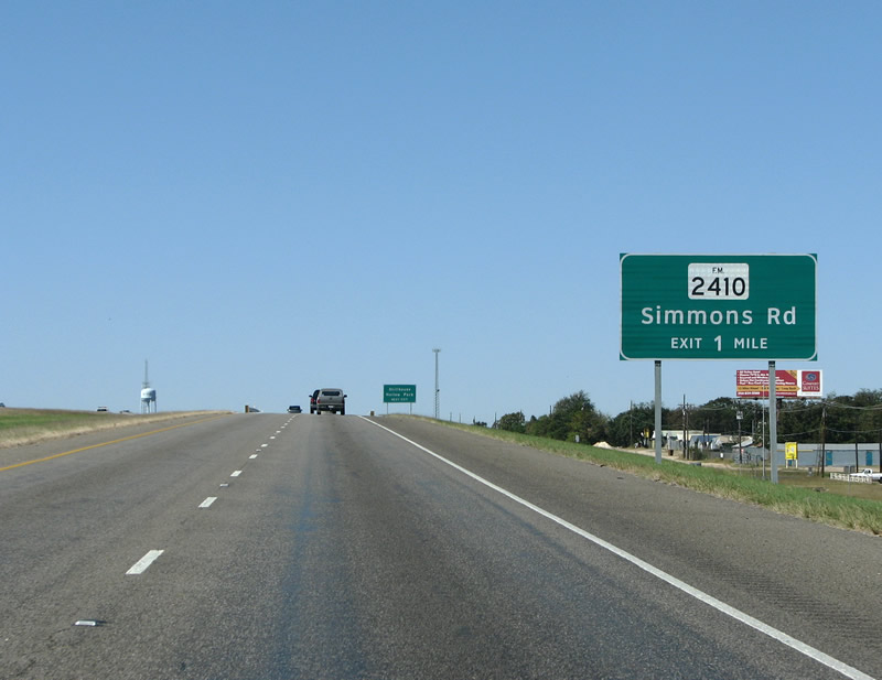
FM 2410 is next along US 190. This new sign is in the Clearview font, while the previous signs have been in the old Highway Gothic font. Texas is currently changing all of its big green signs from Highway Gothic to Clearview. Photo taken 10/23/07. |
|
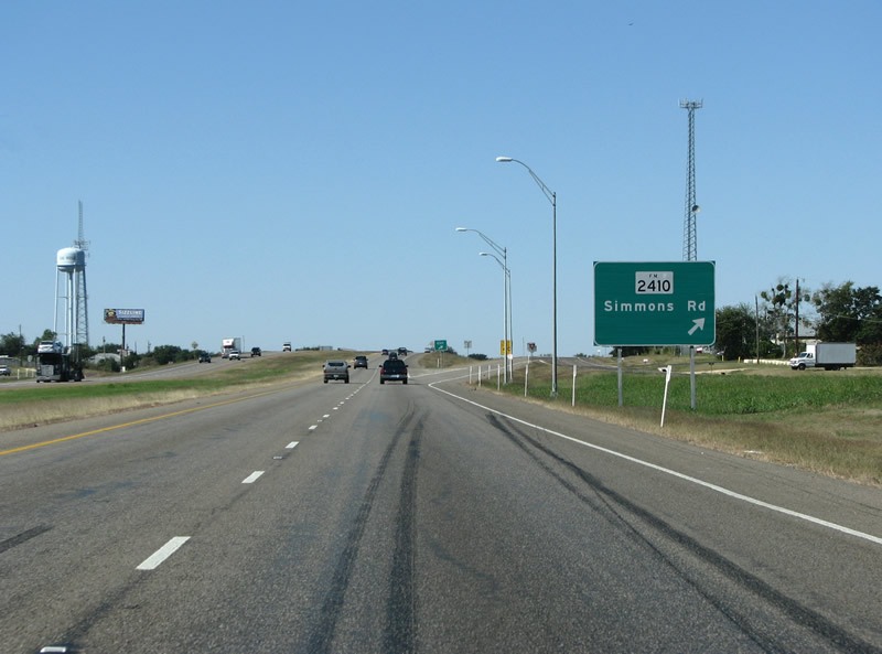
US 190 westbound at FM 2410. 2410 runs west and south along the north shore of Stillhouse Hollow Lake. Photo taken 10/23/07. |
|

| |||
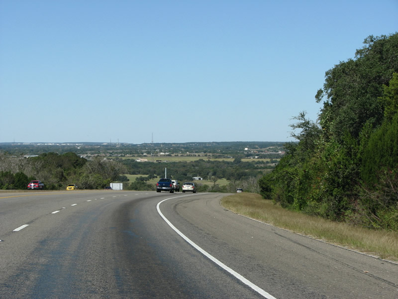
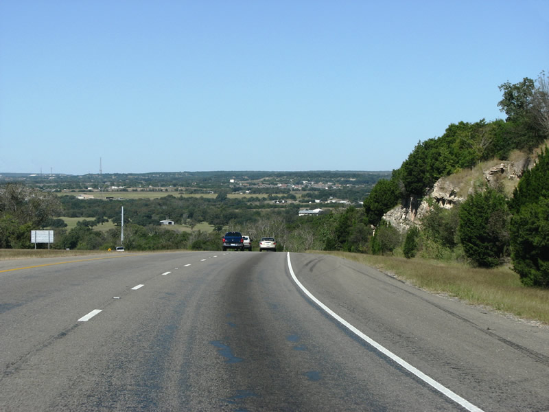
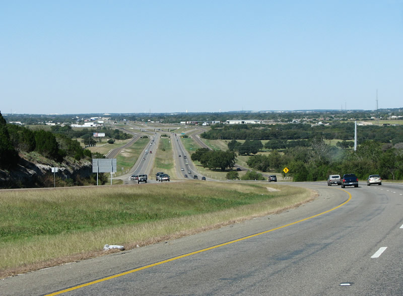
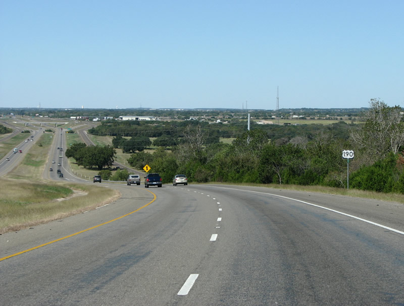
| This series of views shows the view westbound along US 190 just west of Dog Ridge. The ridge provided early settlers with some amazing views, and so does US 190 as it is cut through the limestone of Central Texas. Photos taken 10/23/07. | |||
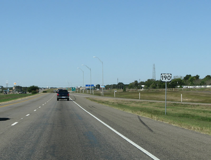
A direction-less reassurance marker just as the ridge ends, signals the beginning of the rolling hills of western Bell County. Photo taken 10/23/07. |
|
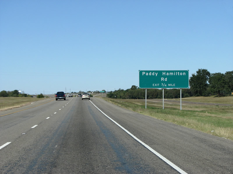
US 190 westbound's next exit is Paddy Hamilton Rd. Photo taken 10/23/07. |
|
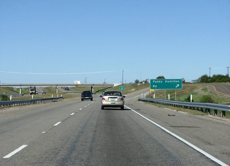
US 190 westbound at Paddy Hamilton, and now within the city limits of Nolanville. Nolanville is one of the oldest settlements in Bell County, and showed up on the 1850 census with 46 residents. Photo taken 10/23/07. |
|
A view of US 190 westbound in Nolanville. Photo taken 10/23/07. |
|
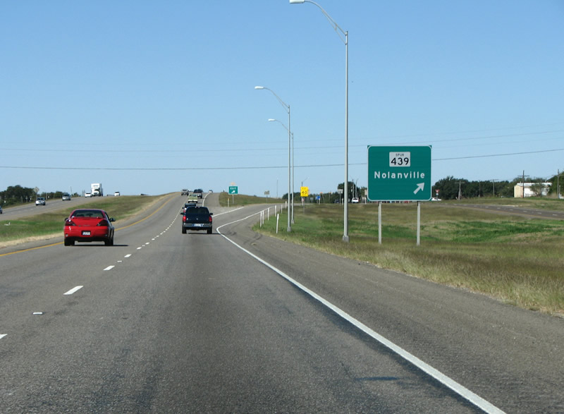
US 190 westbound at Spur 439. Nolanville was originally called Nolan Valley, which was named for an early settler and trapper. Spur 439 connects to FM 439 to the north. This is not technically a state spur, but a spur of an FM road. Spur FMs are sufficiently rare that they do not warrant special signage on overhead signs such as this. Photo taken 10/23/07. |
|
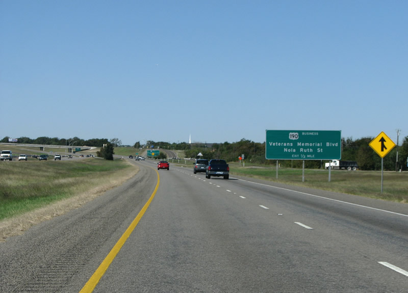
Originally, the freeway section ended here as US 190 and US 190 Business split east of Harker Heights. Motorists continuing along US 190 Business will travel right into downtown Killeen. We're taking the bypass. Photo taken 10/23/07. |
|
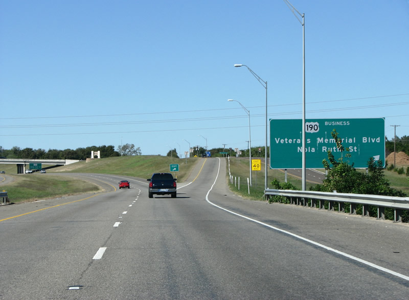
US 190 business exits on the east side of Harker Heights. Photo taken 10/23/07. |
|
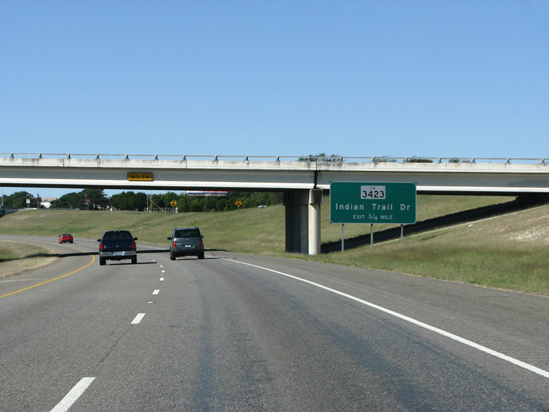
FM 3423 is the first Harker Heights exit. This bedroom community of Killeen houses primarily soldiers and their families from nearby Fort Hood. Photo taken 10/23/07. |
|
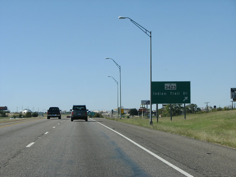
US 190 westbound at FM 3423. This is a short FM road that primarily serves to connect with US 190 business just a mile to the north. Photo taken 10/23/07. |
|
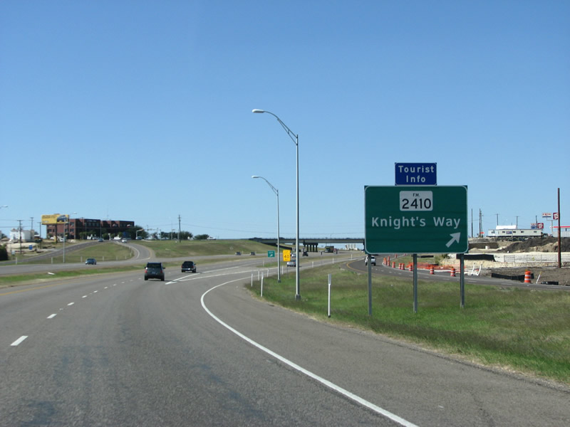
The main street in Harker Heights is Knight's Way, also known as FM 2410. The intersection here is seeing a lot of development including a huge new Super Target and adjacent shopping center. Photo taken 10/23/07. |
|
With that, US 190 finally enters the city of Killeen, home to Fort Hood and a lot of identical tract housing. Photo taken 10/23/07. |
|
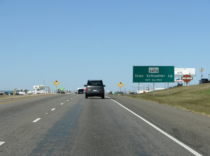
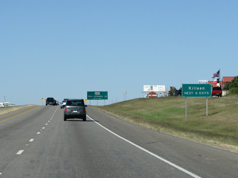
The Stan Schlueter Loop is the first Killeen exit. The loop is an arterial road on the south side of the city. Schlueter was a democratic representative for Killeen in the late 80s. Photo taken 10/23/07. |
|
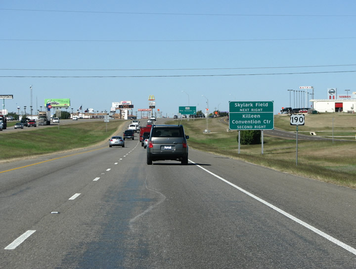
US 190 westbound as it enters Killeen. The forest of fast food signs does not abate until you leave the city. Photo taken 10/23/07. |
|
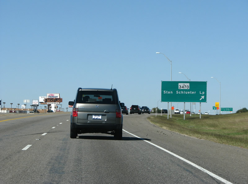
US 190 westbound at the Stan Schlueter Loop. Photo taken 10/23/07. |
|

The next exit in the sprawly city is W S Young Dr. Wilson Young was an early settler and civic leader in Killeen. Photo taken 10/23/07. |
|
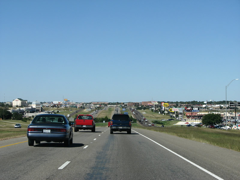
This view looking west into Killeen shows the general nature of the city. Much of it is characterless with retail and chain restaurants built to service the nearby Fort Hood military base. Photo taken 10/23/07. |
|
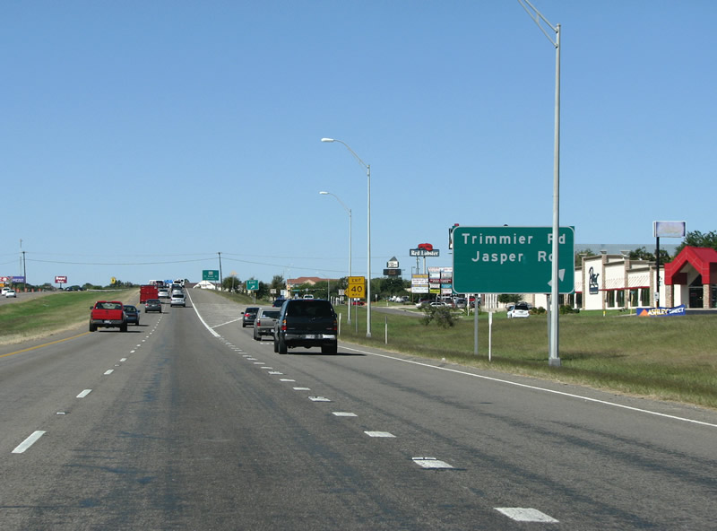
The next Killeen exit is as Trimmier Rd / Jasper Rd , these roads continue into the housing areas that mostly sit on the south side of the freeway. Photo taken 10/23/07. |
|
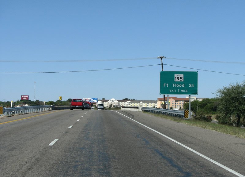
SH 195 is the next exit westbound on US 190. Photo taken 10/23/07. |
|
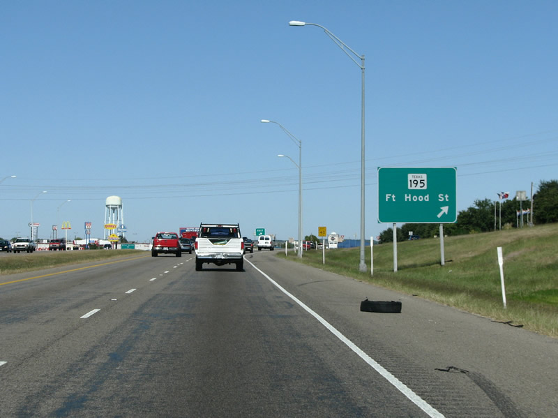
SH 195 connects Killeen and its large military population with IH 35 near Georgetown and eventually Austin. Photo taken 10/23/07. |
|
This large black and white sign is the first indication of the approach of Fort Hood. Motorists must use certain lanes and exits when visiting the facility. Photo taken 10/23/07. |
|

US 190 westbound at Willow Springs Rd. Some Fort Hood housing can be seen in the background. Photo taken 10/23/07. |
|
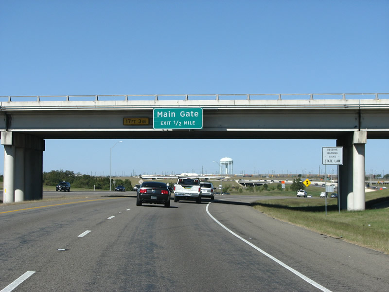
The Main Gate exit is the largest entry into Fort Hood, and the first sign for it is just as motorists leave Killeen headed westbound. Photo taken 10/23/07. |
|

US 190 westbound at Fort Hood. This interchange is a modified cloverleaf, and is currently being upgraded. The Main Gate road into Fort Hood was recently upgraded with several grade separations at major through routes within the base. Photo taken 10/23/07. |
|
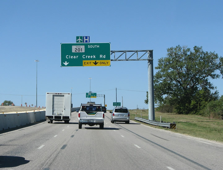
After the Main Gate exit, SH 201 marks the end of Killeen. This route connects the expressway to Killeen's airport and a large medical center. Photo taken 10/23/07. |
|
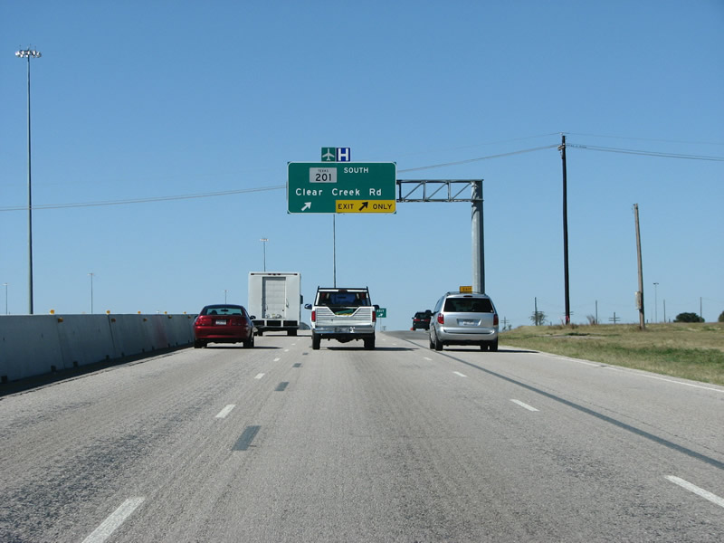
US 190 westbound at SH 201. 201 is a fairly new state highway, and opened in stages from 2003 to 2004. Photo taken 10/23/07. |
|
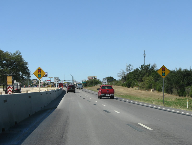
Leaving Killeen, the expressway traverses land in Fort Hood. Large barbed wire fences surround the expressway as Lampases shows up on a mileage sign for the first time. Photo taken 10/23/07. |
|
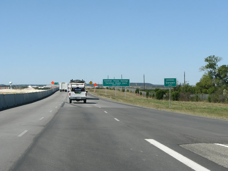
The land is scrubby and flat here, with some hills in the background, as US 190 enters Coryell County. Photo taken 10/23/07. |
|
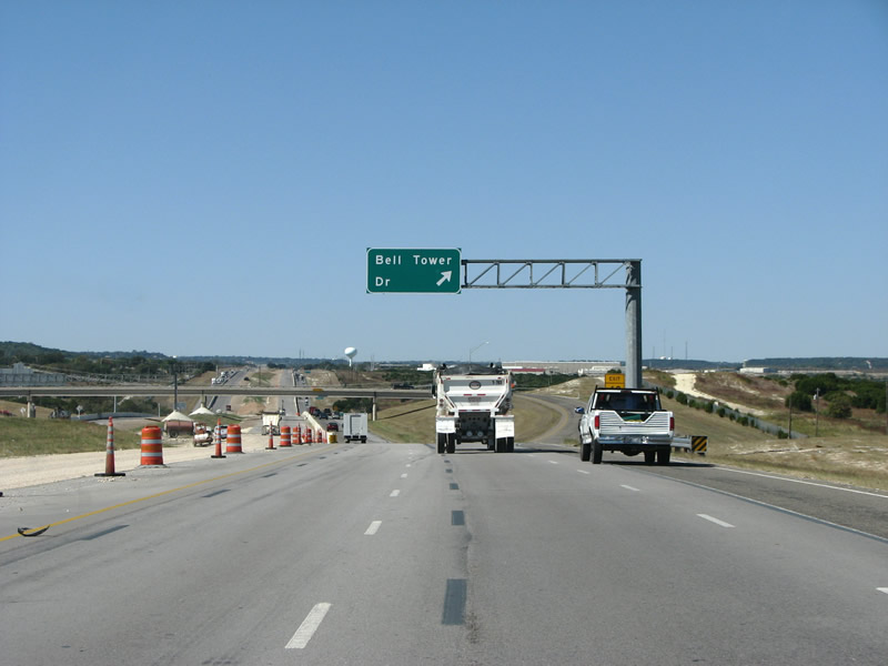
Bell Tower Dr is the first exit in Coryell County, and connects Fort Hood with some of its housing areas. In this picture, the freeway is in the early stages of being upgraded to a 6 lane facility through the military base. Photo taken 10/23/07. |
|
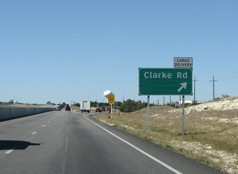
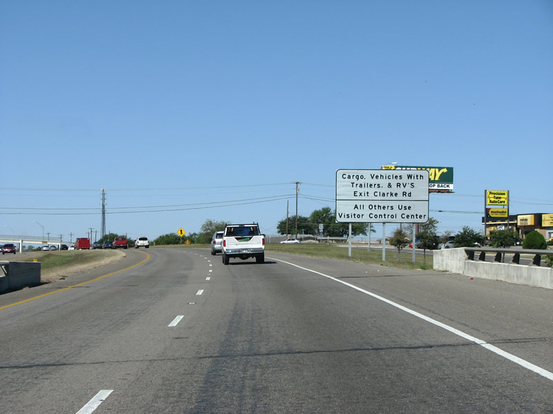
Clarke Road serves Fort Hood's cargo and delivery areas. Many trucks use this exit. Photo taken 10/23/07. |
|
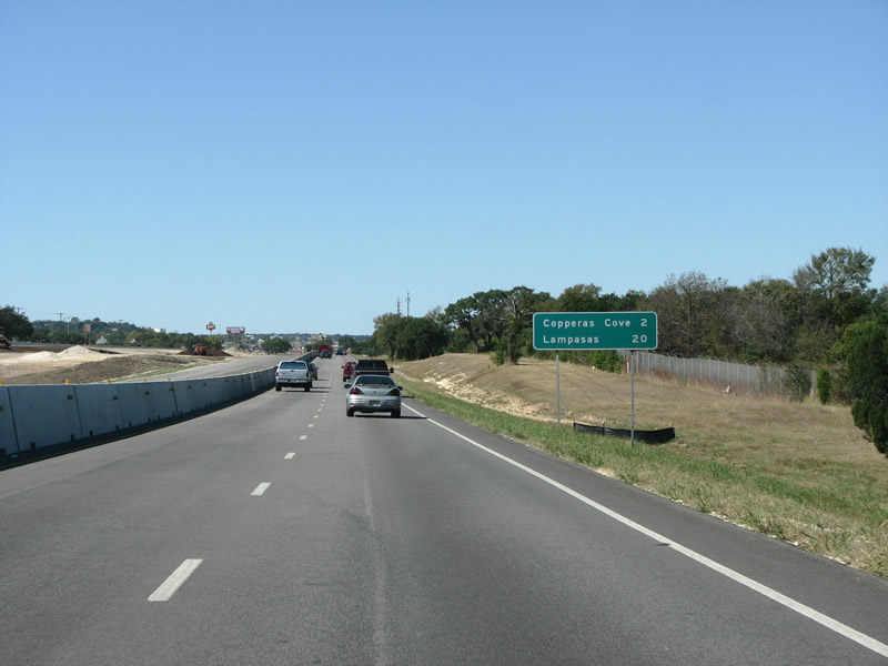
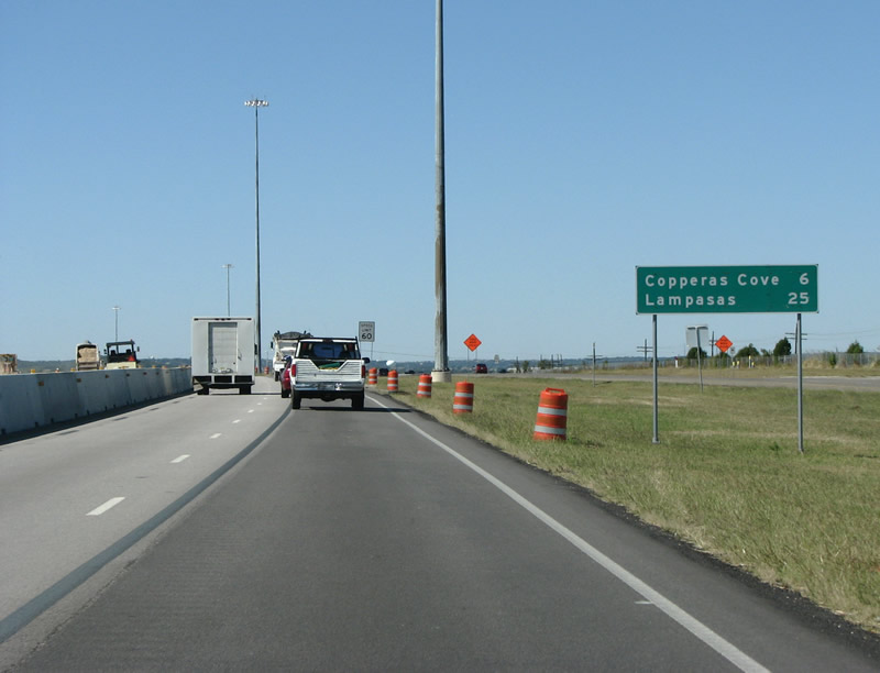
US 190 westbound nears the town of Copperas Cove. Photo taken 10/23/07. |
|
Entering Cove, as the locals call it, the Central Texas Expressway ends. Advance notification is given of the expressway's end with these signs. Photo taken 10/23/07. |
|
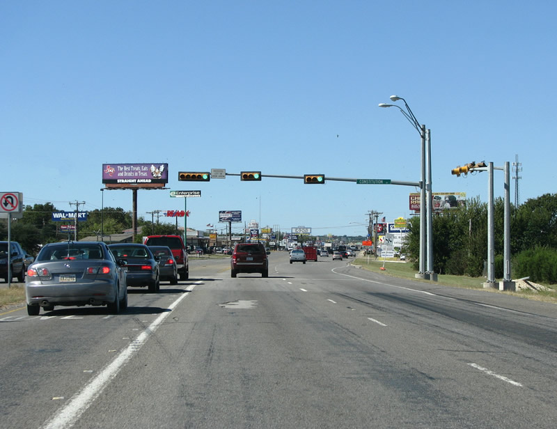
The freeway ends here on the east side of Cove, amid another forest of fast food signs - at this light which was recently added to serve a Wal Mart. Photo taken 10/23/07. |
|
Page Updated January 24, 2008.
|
About Contact FAQ |
Spotlights Interstate Guide |
Social Media:
 |
|
© 2000-25 AARoads.com | All Rights Reserved | Privacy Policy / Terms of Use
|
||