U.S. 95 Nevada - South - McDermitt to Coaldale Junction
| U.S. 95 south | |
|---|---|
 |
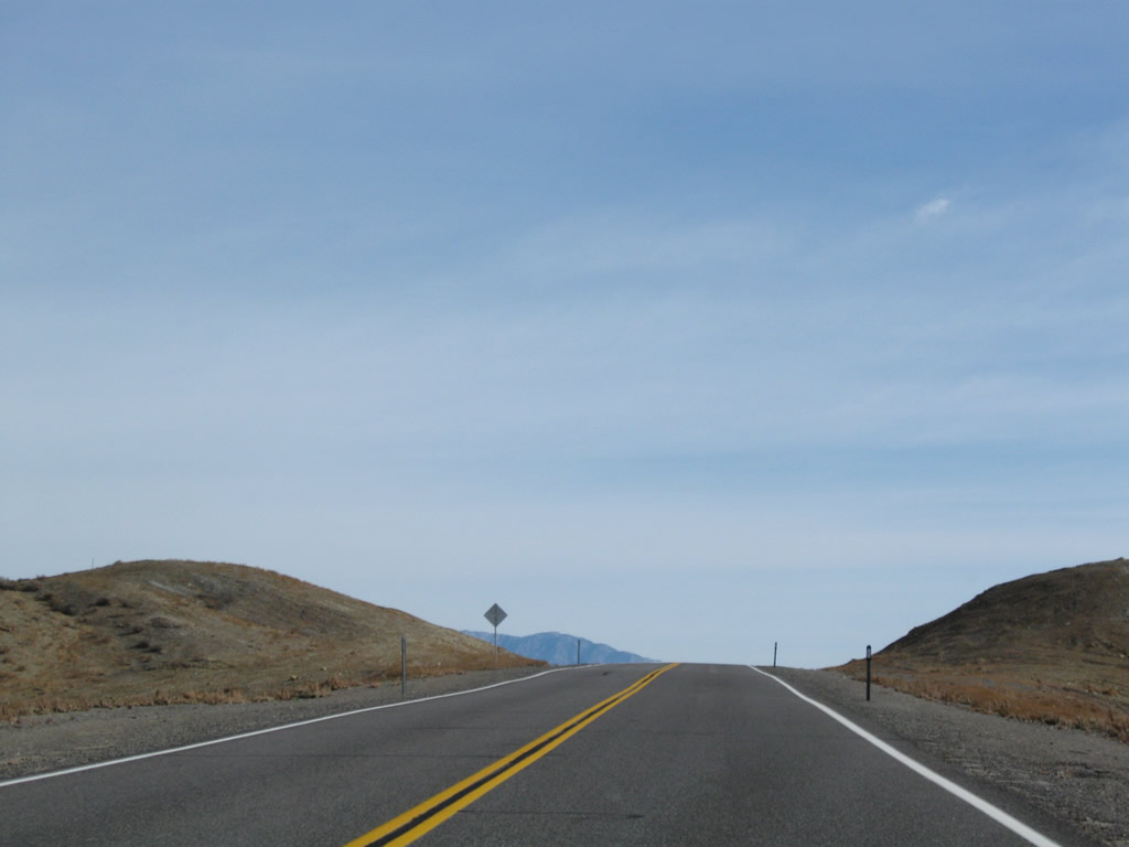
Southbound U.S. 95 approaches the intersection with U.S. 6 at Coaldale Junction. At this intersection, turn right to follow U.S. 6 west to Montgomery Pass and Bishop. Continue straight (as the highway curves to the east) to Tonopah in Nye County. Photo taken 11/11/08. |
 |
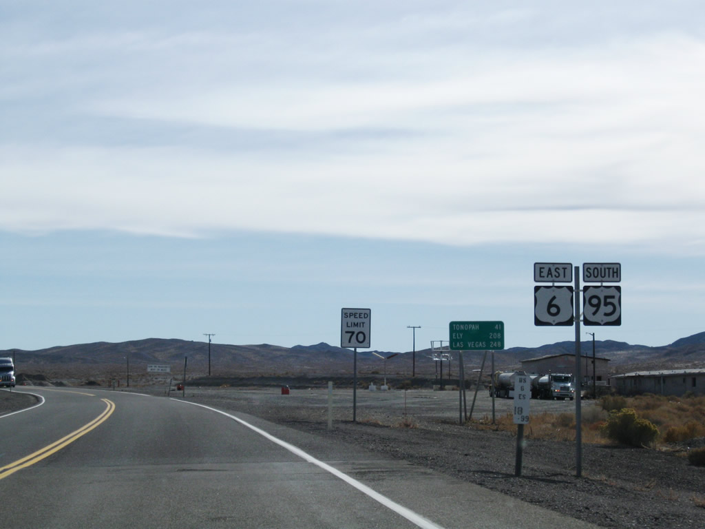
A guide sign provides the destinations served by U.S. 6 and U.S. 95. The nearest motorist facilities (food, gas, lodging) are in Tonopah east of here. Bishop also features most motorist services, but it is located a bit further to the southwest in California. Photo taken 11/11/08. |
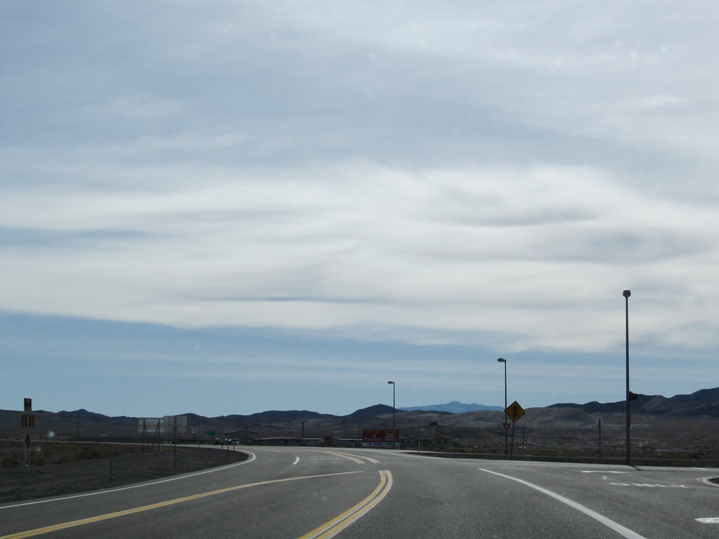 |
Southbound U.S. 95 meets U.S. 6 at Coaldale Junction. From here, U.S. 6 and U.S. 95 proceed almost due east to Tonopah. Photo taken 11/11/08. |
| U.S. 6 east and U.S. 95 south | |
 |
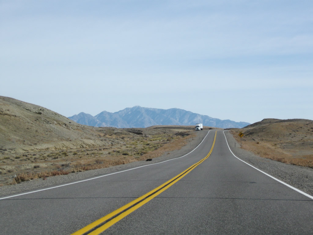
A pair of reassurance shields for eastbound U.S. 6 and southbound U.S. 95 are posted at Coaldale Junction after the intersection. Photo taken 11/11/08. |
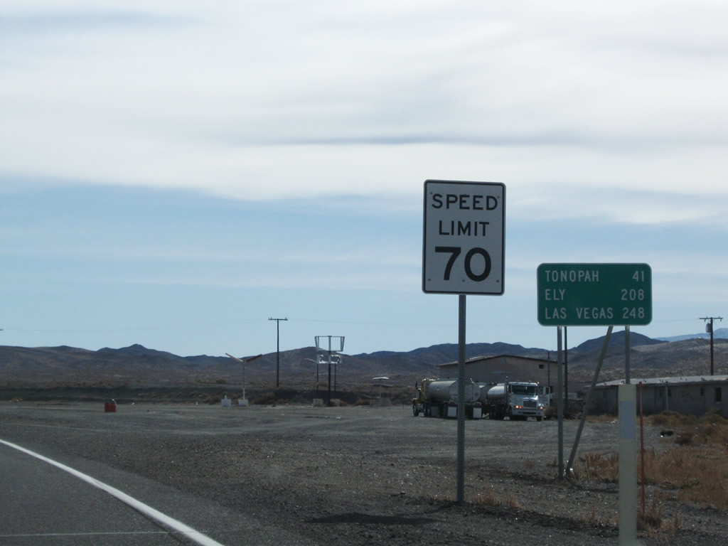 |
This mileage sign along eastbound U.S. 6 and southbound U.S. 95 at Coaldale provides the distance to Tonopah (41 miles), Ely (208 miles via U.S. 6 east), and Las Vegas (248 miles via U.S. 95 south). Photo taken 11/11/08. |
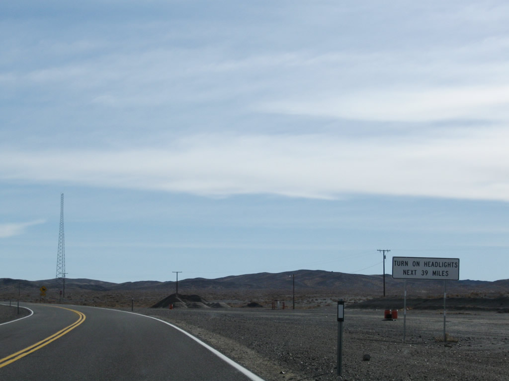 |
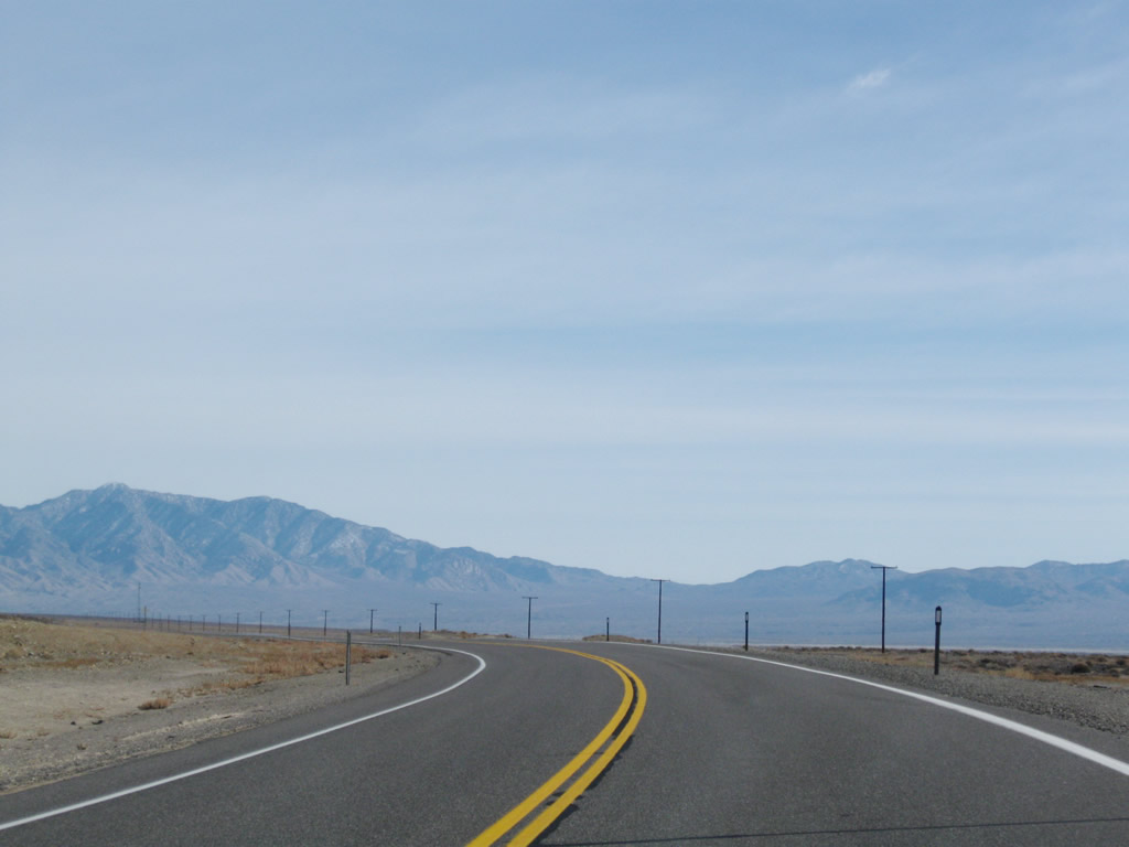
Leaving the settlement of Coaldale, U.S. 6 east and U.S. 95 south travels almost due east toward Tonopah. Since much of this route is through rural terrain, all motorists are required to use headlights during daytime as well as nighttime. Photo taken 11/11/08. |
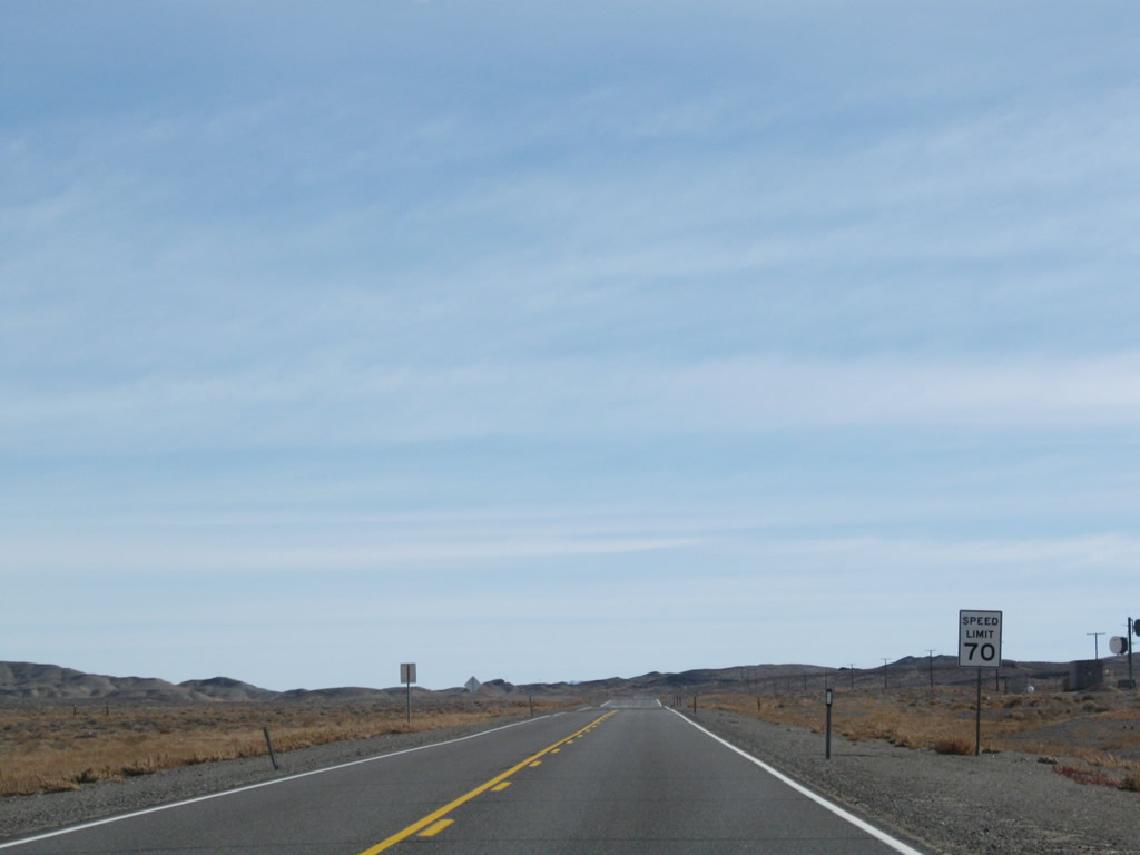 |
The speed limit along U.S. 6 east and U.S. 95 south remains 70 miles per hour. Photo taken 11/11/08. |
 |
 |
 |
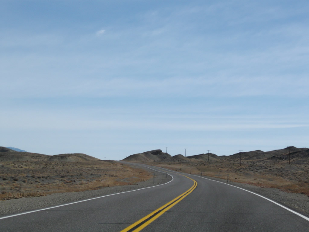
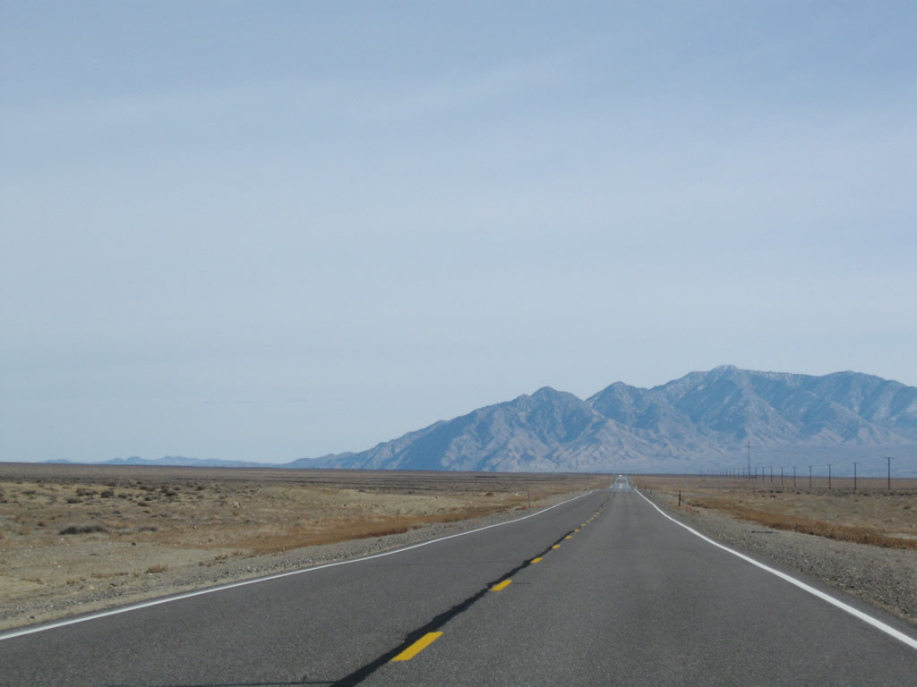
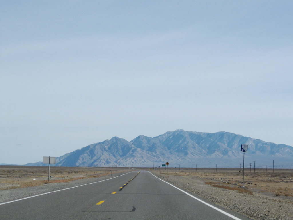
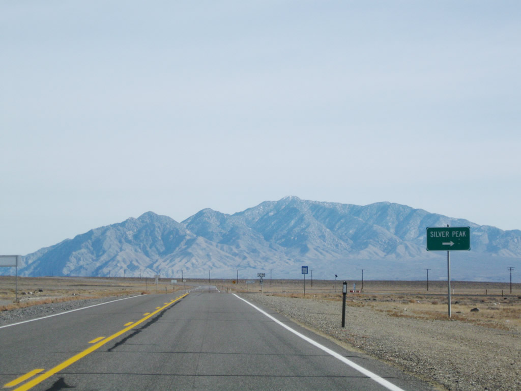
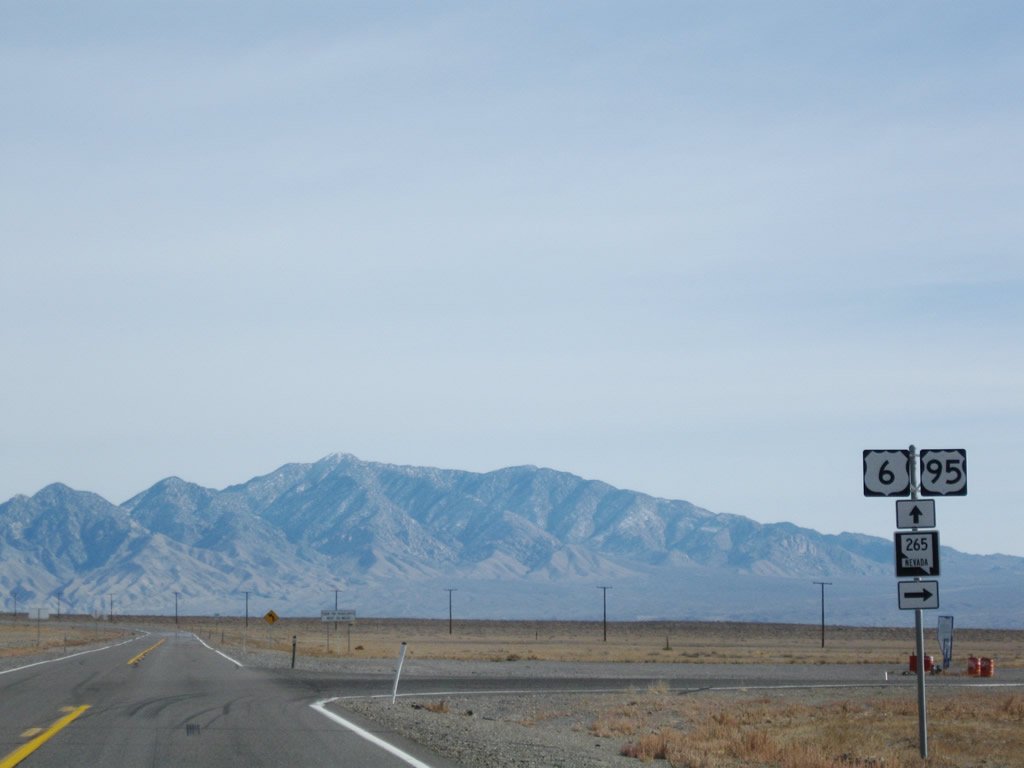
This series of photos follows U.S. 6 east and U.S. 95 south between Coaldale and the Nevada 265 intersection at Blair Junction. To the south is Emigrant Peak (elevation 6,790 feet above sea level) and to the north is Monte Cristo Range. After making the last turn, distant Lone Mountain (elevation 9,108 feet above sea level) comes into view. Photos taken 11/11/08. |
 |
 |
 |
|
 |
 |
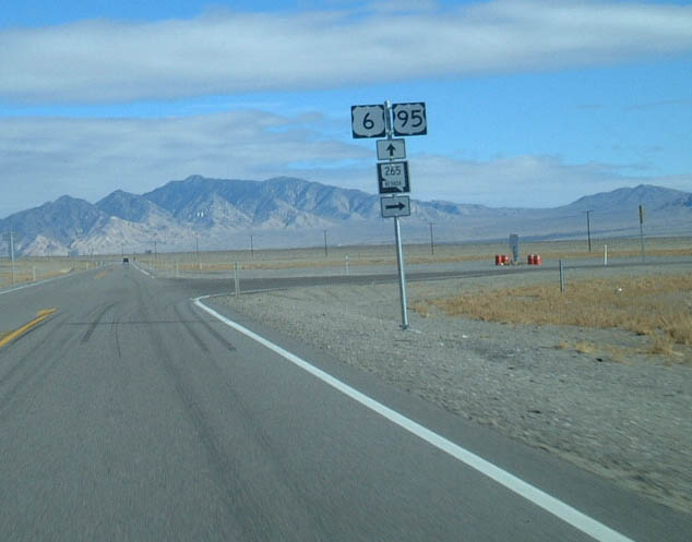 |
Approaching Blair Junction, U.S. 6 east and U.S. 95 south meet Nevada 265/Nivloc Road south to Silver Peak. Nevada 265 travels south to Silver Peak, an unincorporated town with a history steeped in silver and gold mining in the 19th century and today is adjacent to a lithium extraction facility in nearby Clayton Valley. Nevada 265 is not a through state route; it ends upon reaching Silver Peak. Photos taken 11/11/08 and 01/20/02. |
 |
 |
 |
Page Updated February 15, 2010.
|
About Contact FAQ |
Spotlights Testimonials Interstate Guide |
Social Media:
 |
|
© 2000-23 AARoads.com | All Rights Reserved | Privacy Policy / Terms of Use
|
||