
The second batch of Death Valley photos. We wake up in Beatty, Nevada and then scour Death Valley for at least a little while before realizing that our vehicle is simply not up to the challenge presented by the terrain. Oh noes! We then run for dear life, as we notice the tire pressure slowly sinking, while Jeff’s plane is not catching itself.
Our first stop is the abandoned town of Rhyolite – just west of Beatty, this was once a mining town with a population of over 5000 people.
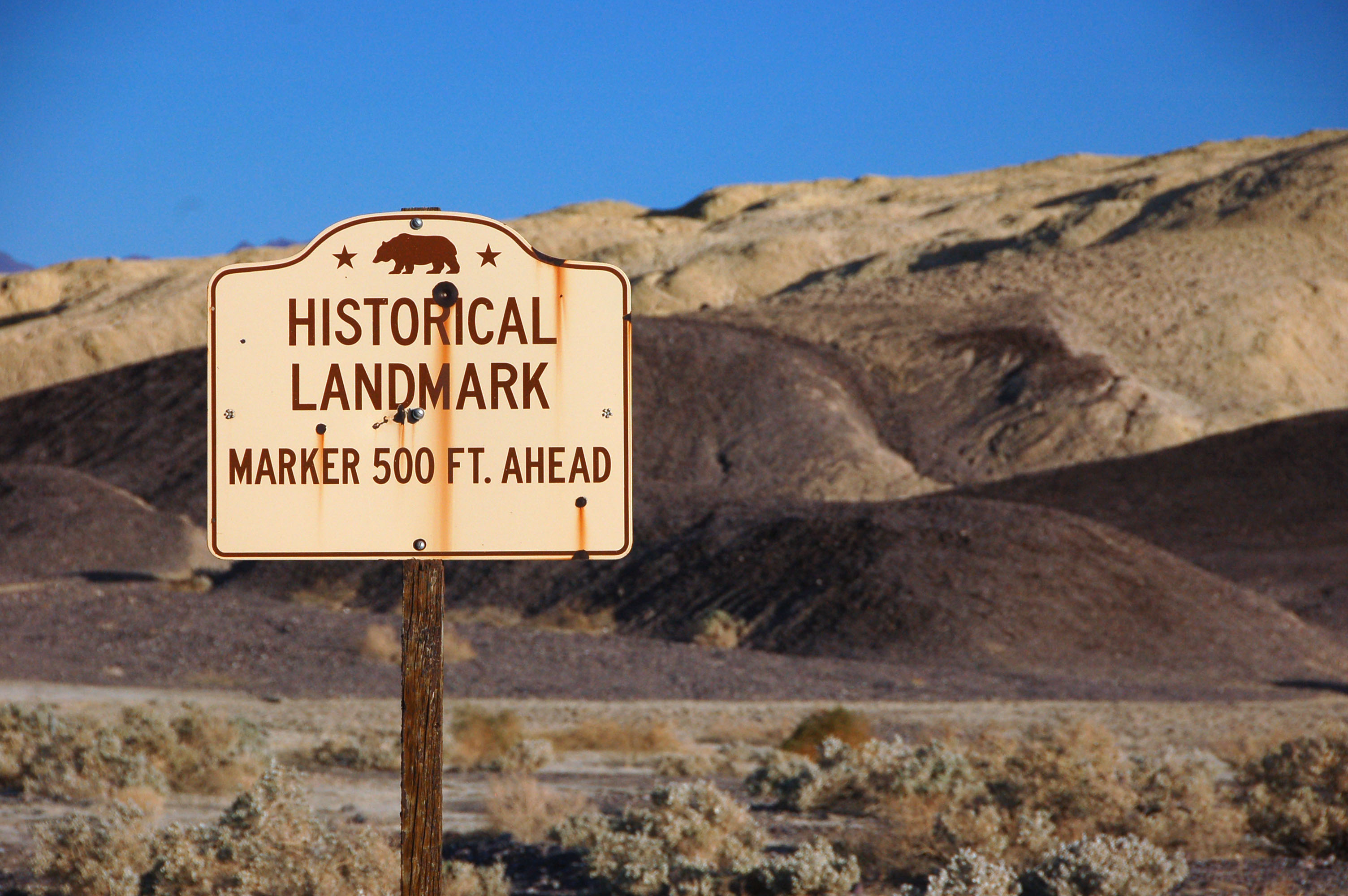
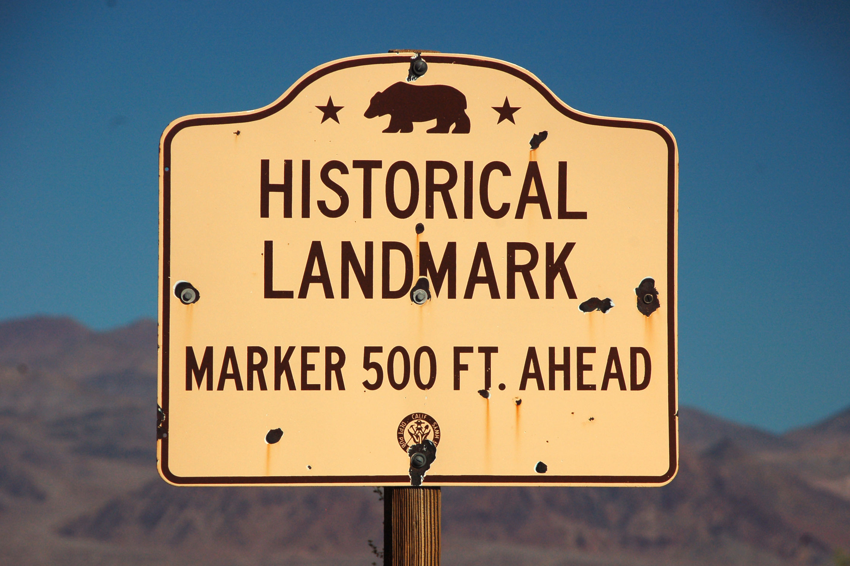
The sign find of the day: a 1949 historical marker, complete with the Auto Club of Southern California and the National Park Service logos. There are two: the other one is on the other side of the post. Interestingly, the post is much newer than the signs … someone must want to keep them here. We obliged by not borrowing them.
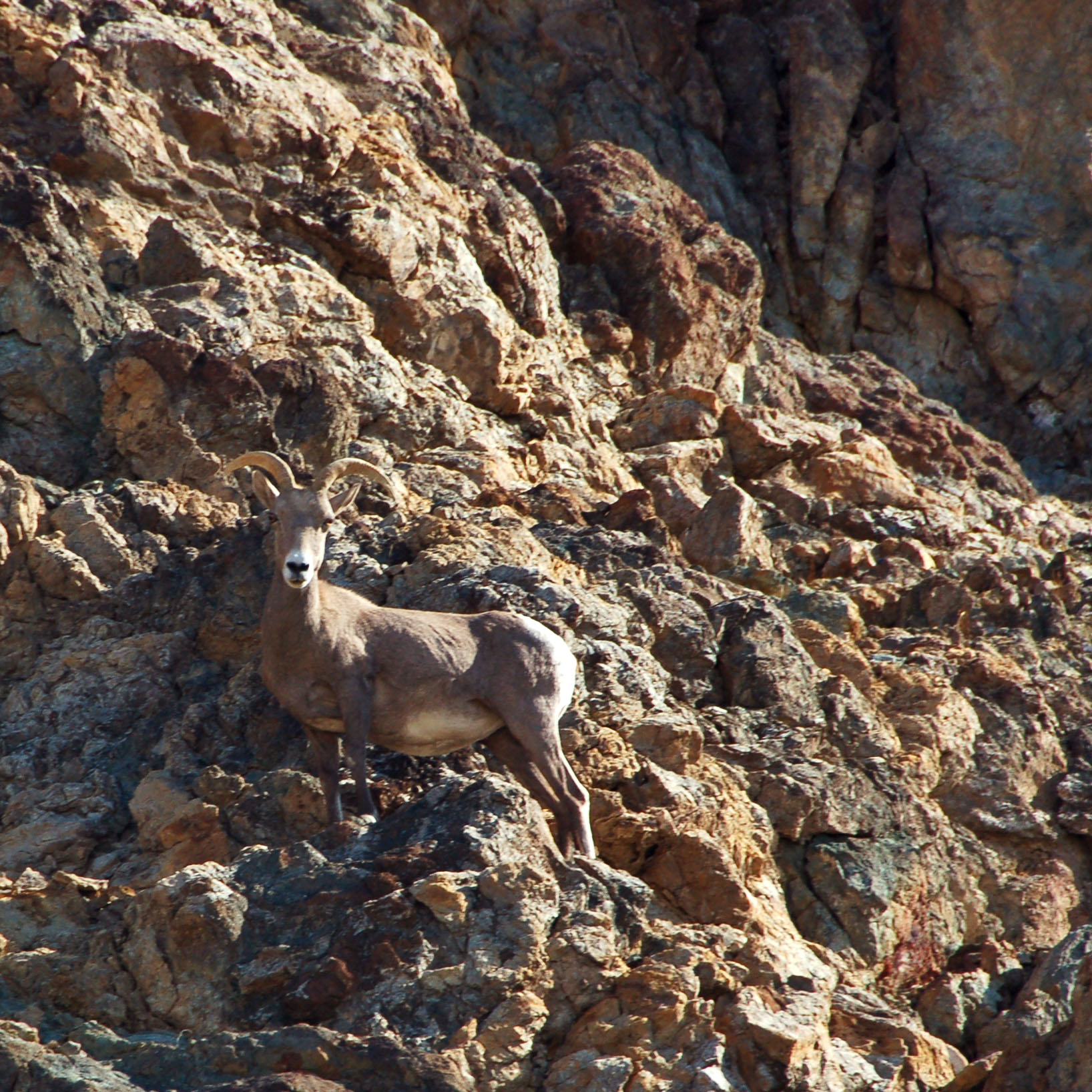
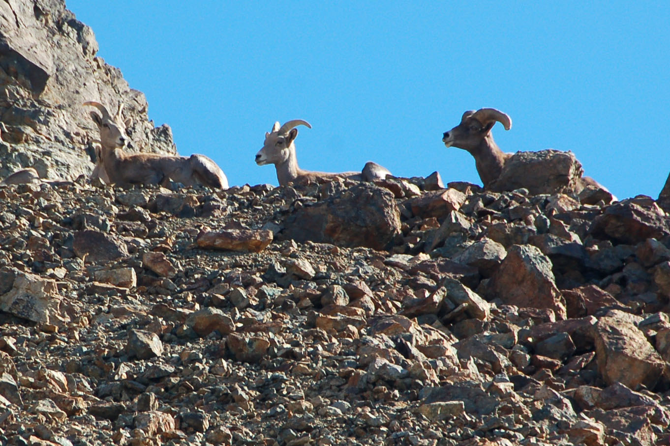
A bighorn sheep. A helpful park ranger pointed this one out, as we would’ve never noticed it high up on the cliff wall. In fact, he told us there were fourteen of them to be spotted!
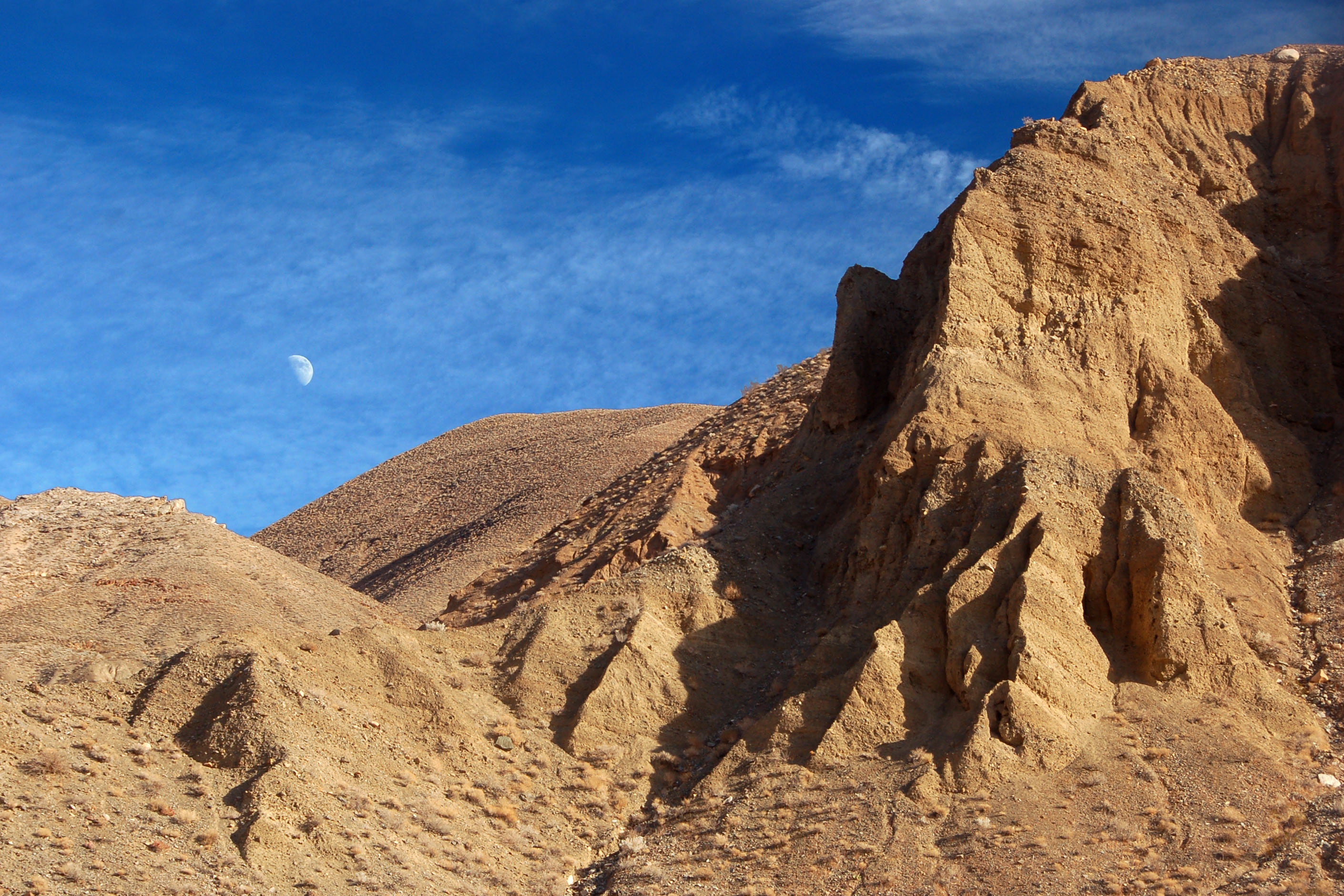
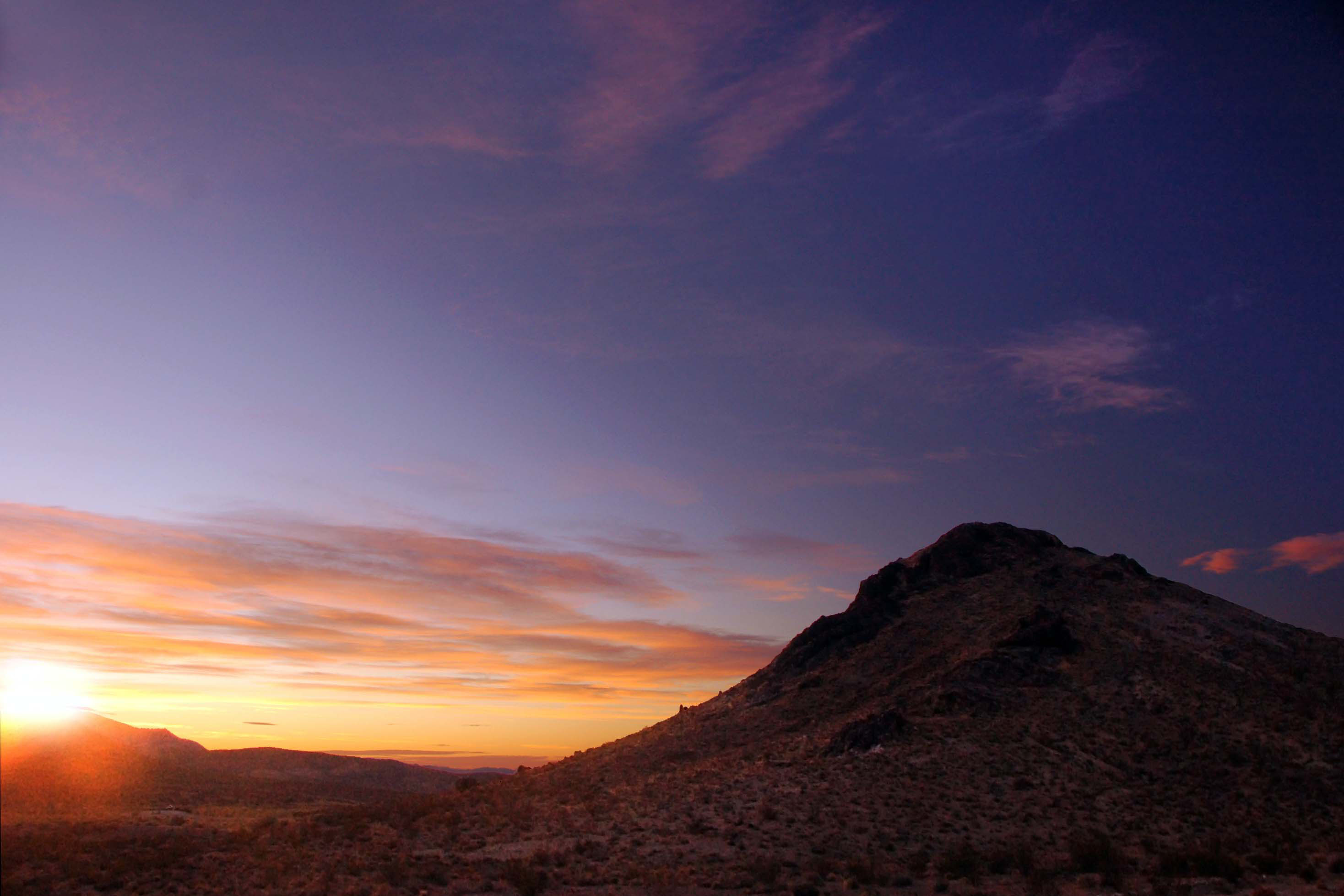
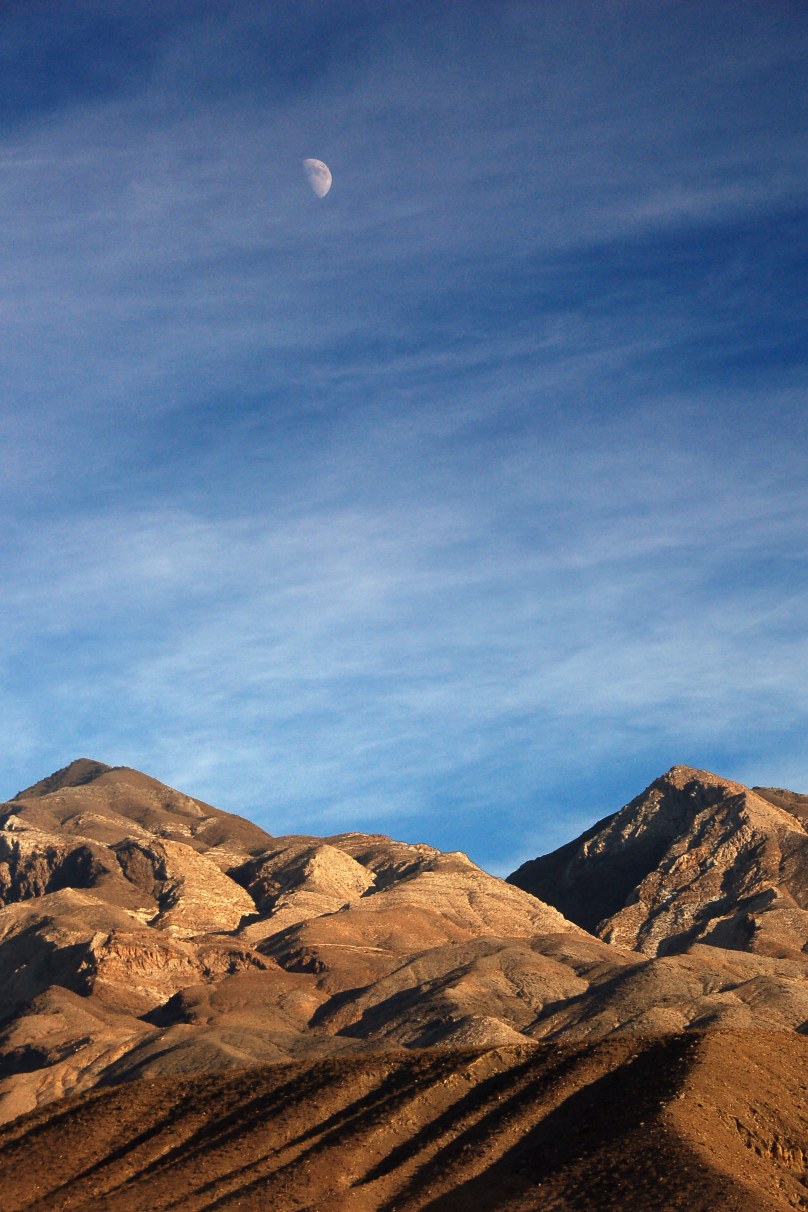
Moonrise over the Panamint range.
Getting an early start on things. Down we go from Beatty to Death Valley.
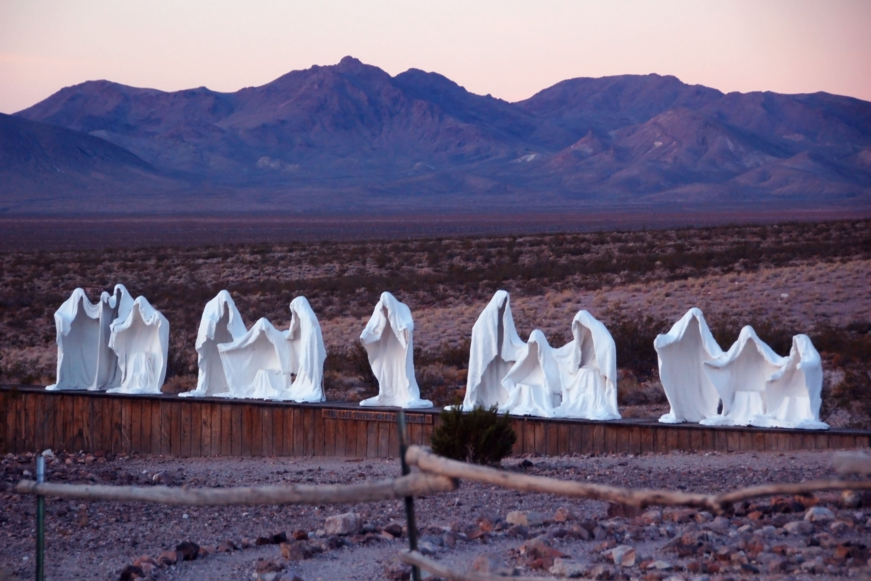
Ghosts of Rhyolite. How I managed to make this look like a 1950s Kodachrome print that’s been sitting in the sun for too long, I will never know.
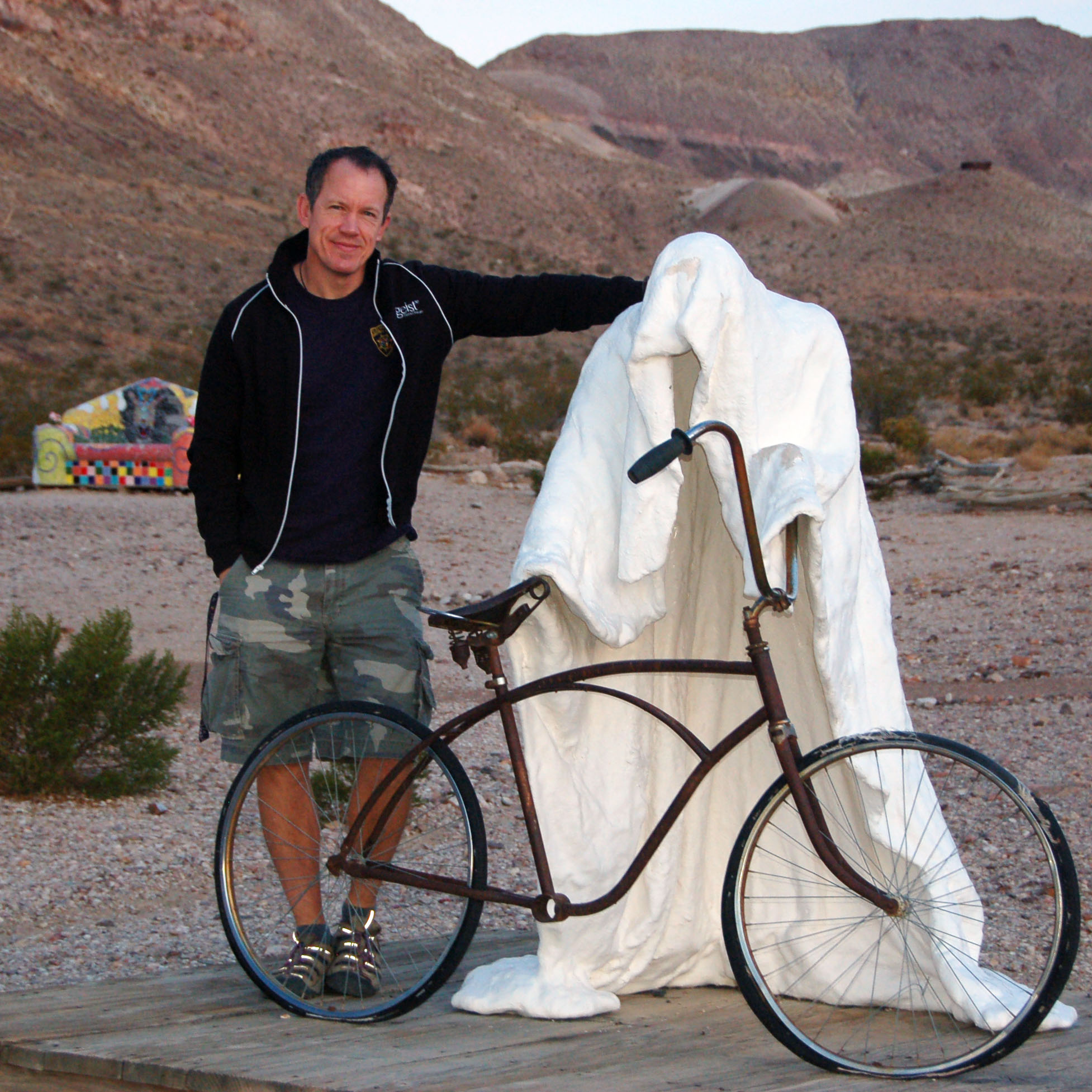
Jeff makes a new friend.
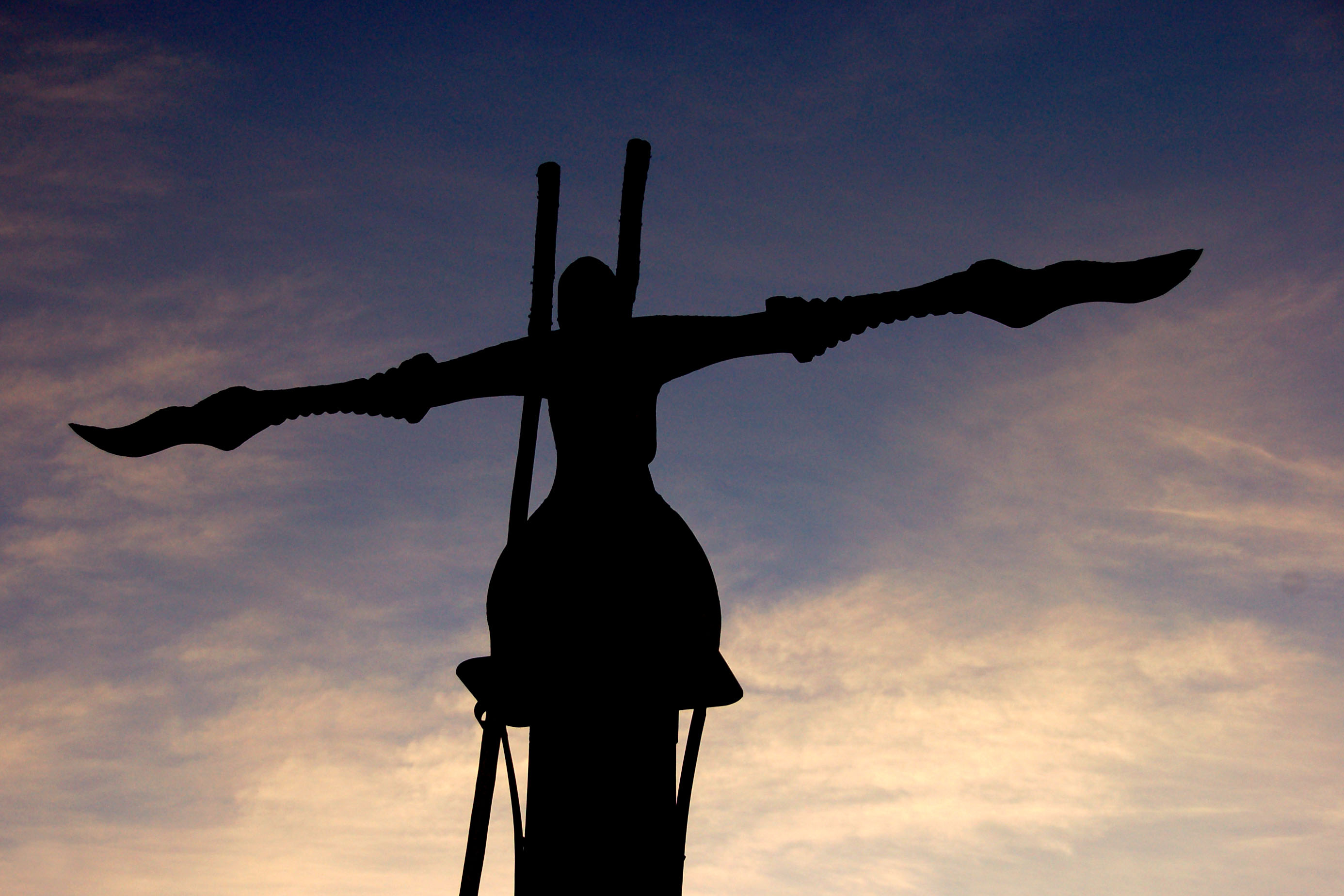
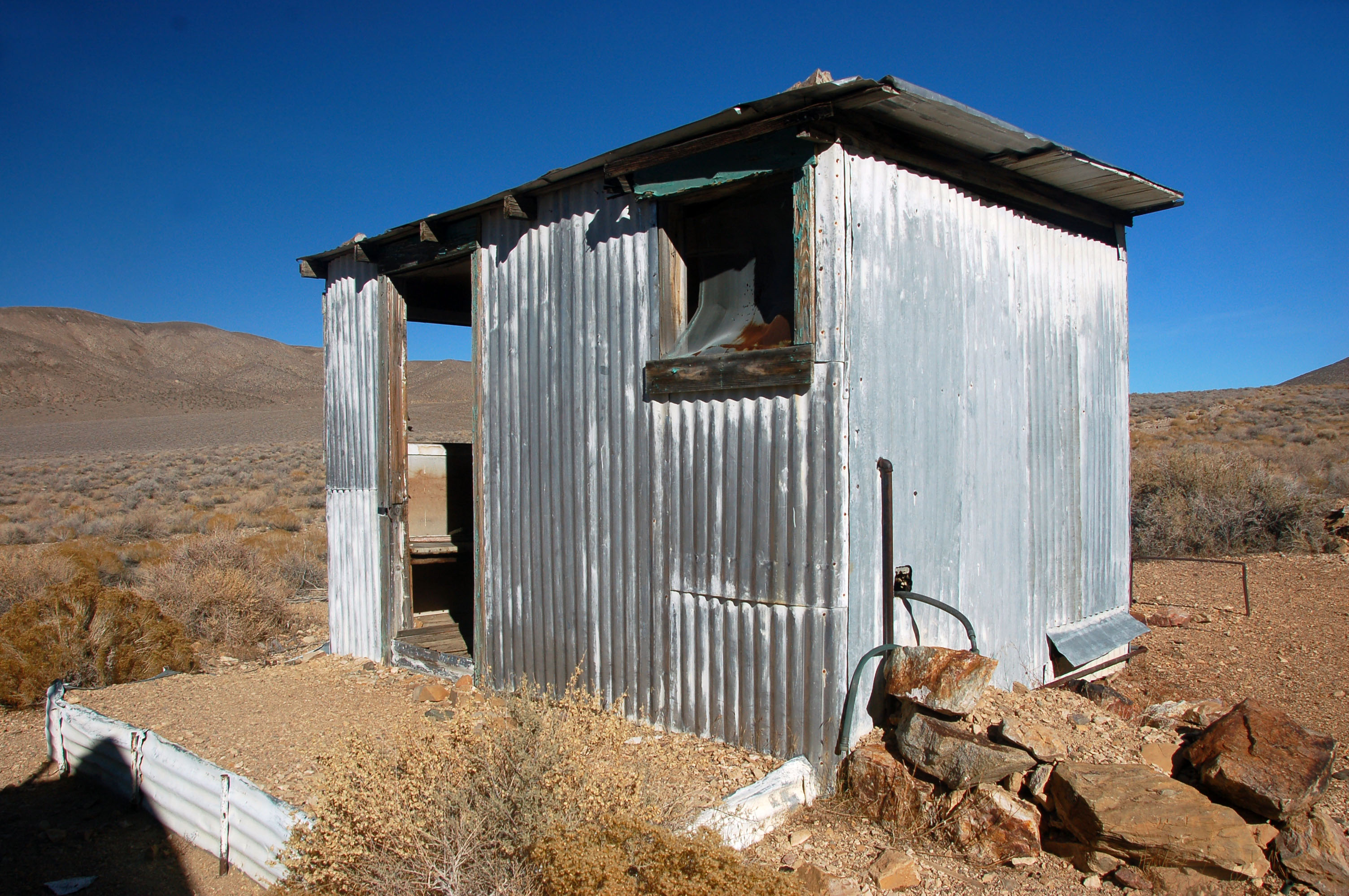
Strange artifacts abound in Rhyolite.
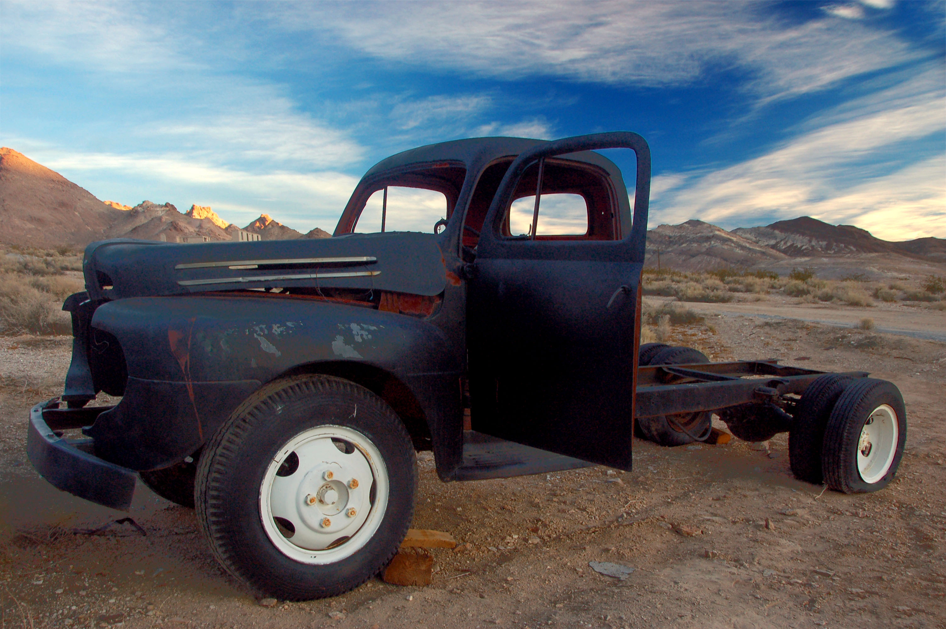
An inert truck.
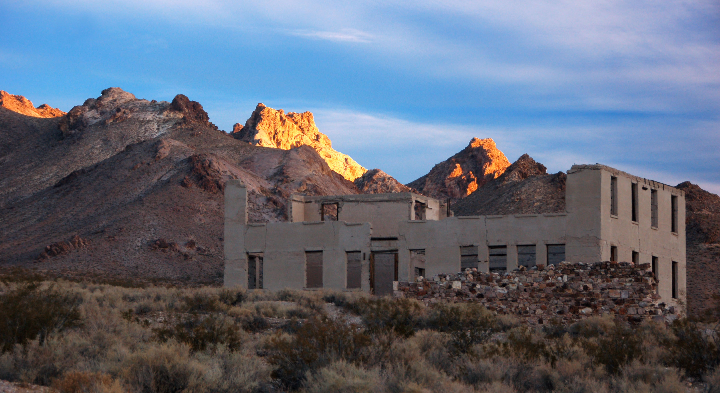
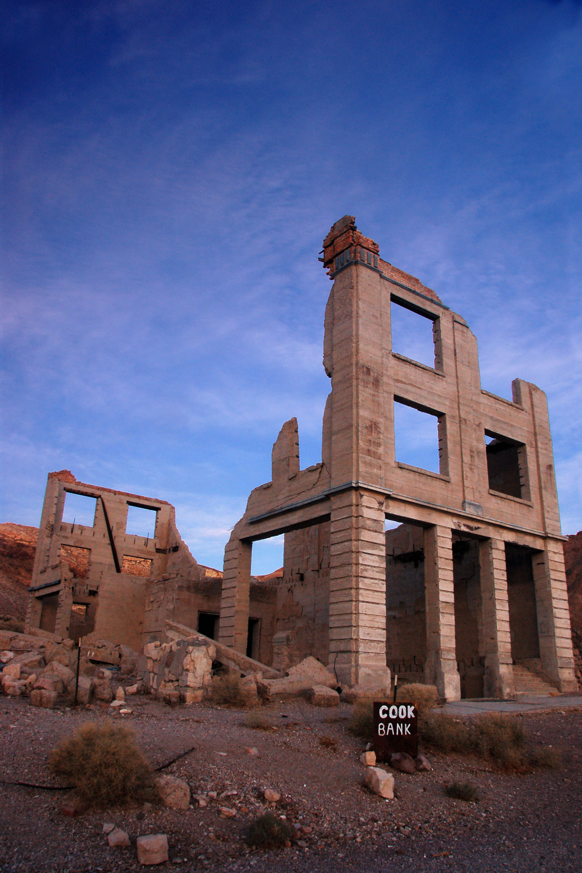
At one point, this was the main bank of Rhyolite.
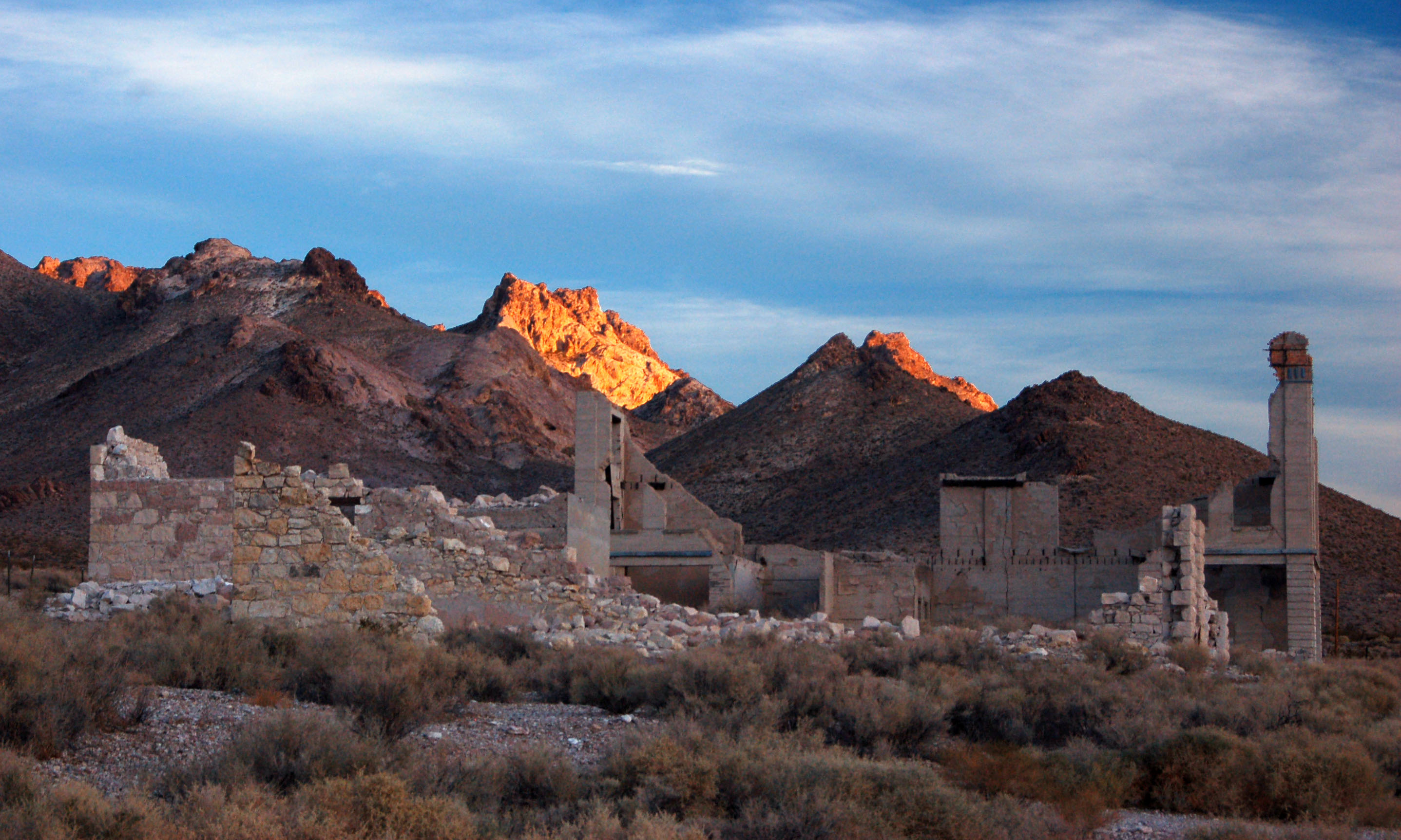
Another somewhat derelict old building.
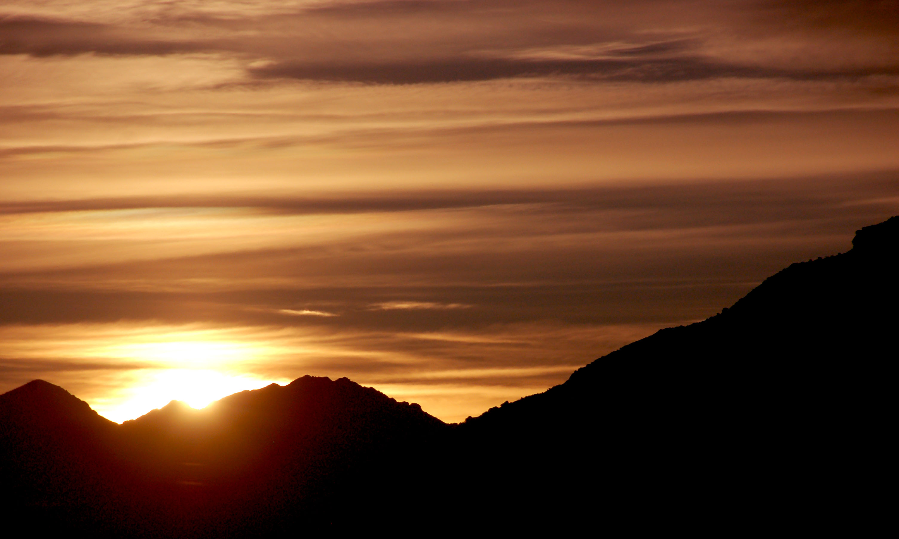
We’re suddenly hit by direct rays.
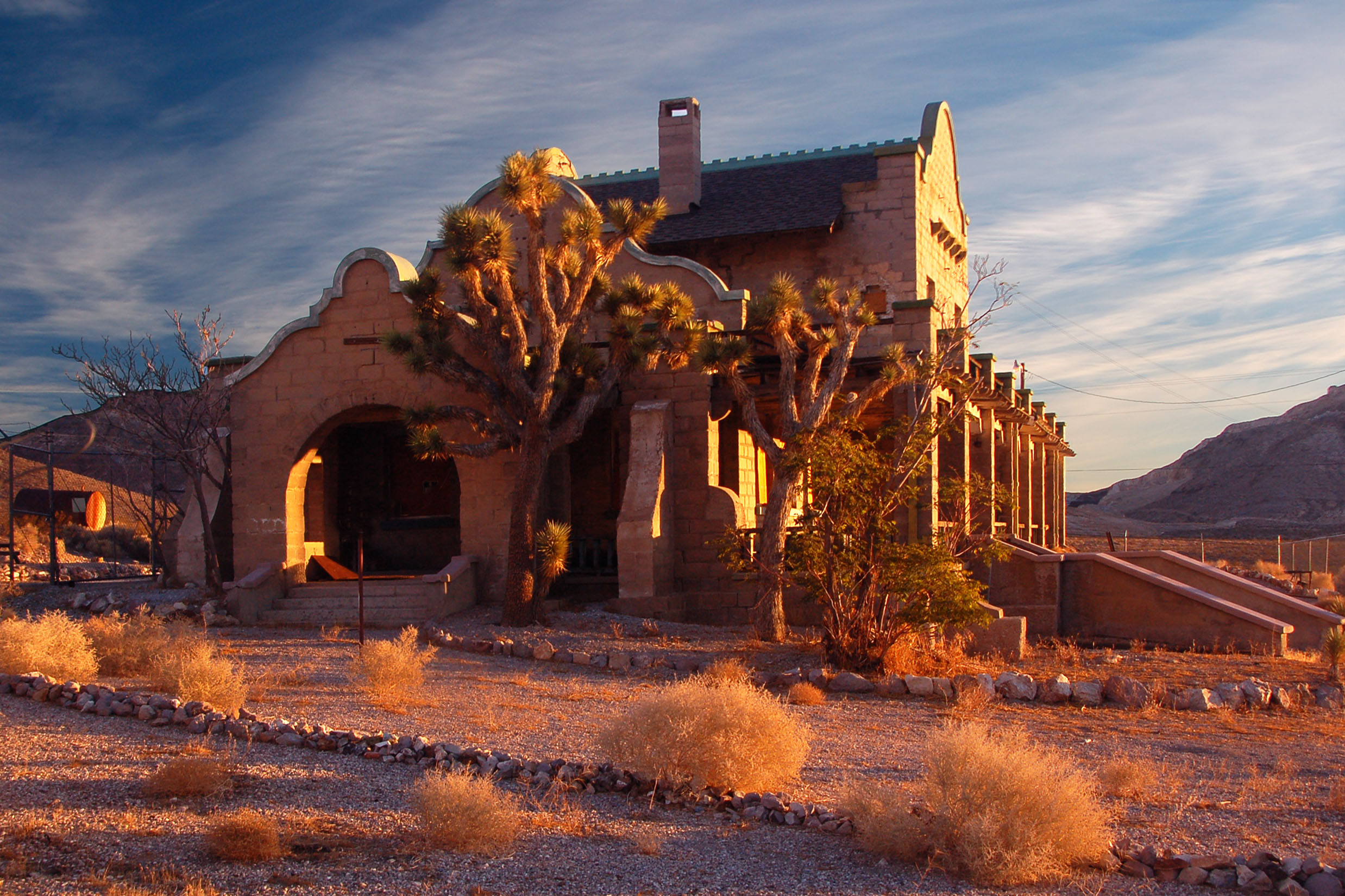
The old railroad station. And yes, that is a barbed-wire fence around it. The TSA must’ve been here.
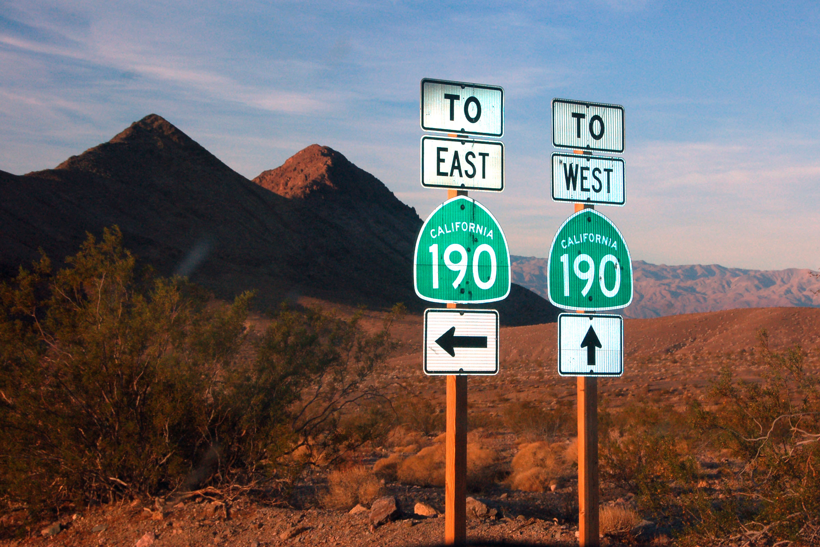
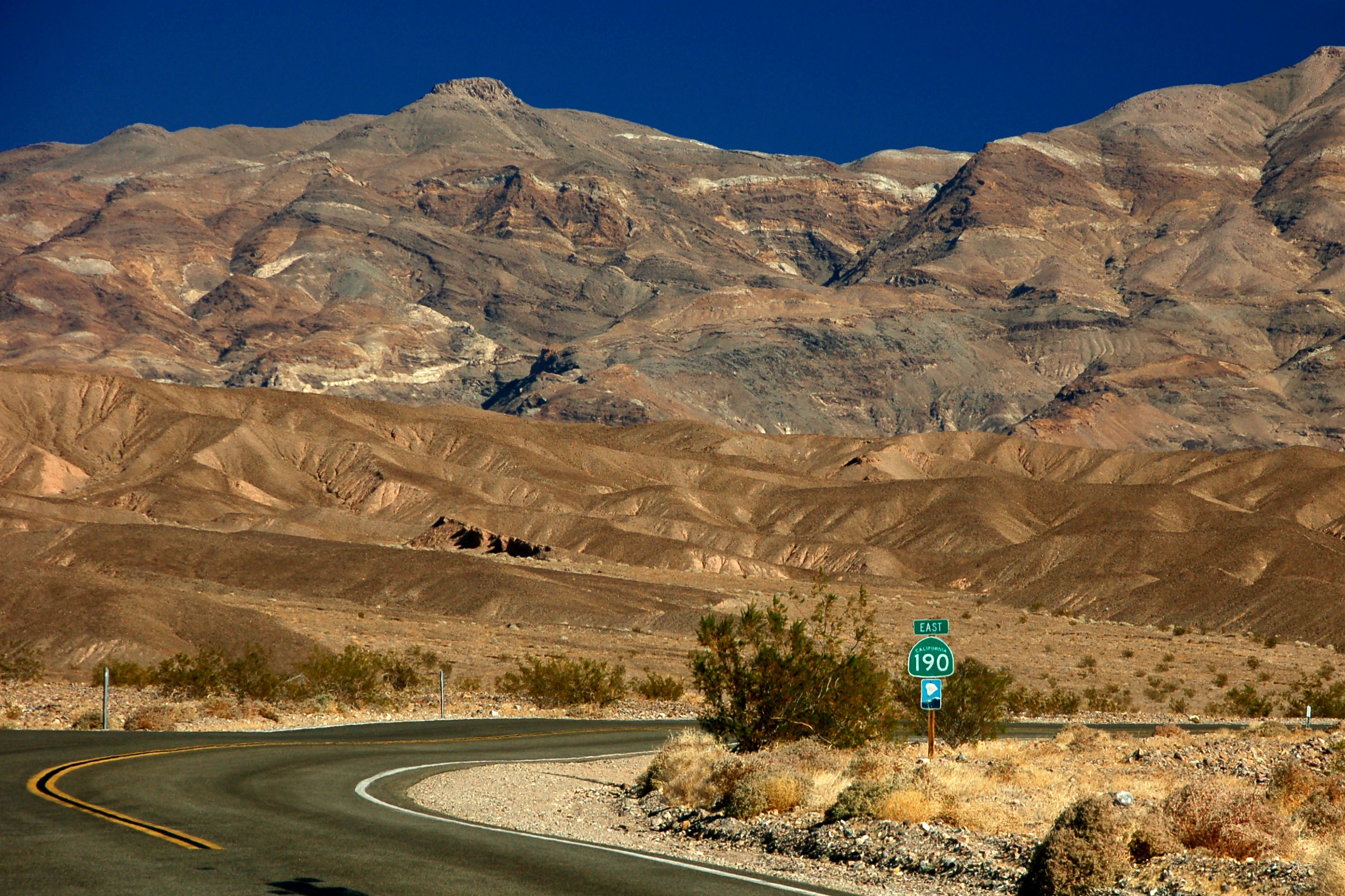
A lucky shot with the flash – right out the window as I had to make the decision on which 190 we wanted to get to. (We chose wrong.)
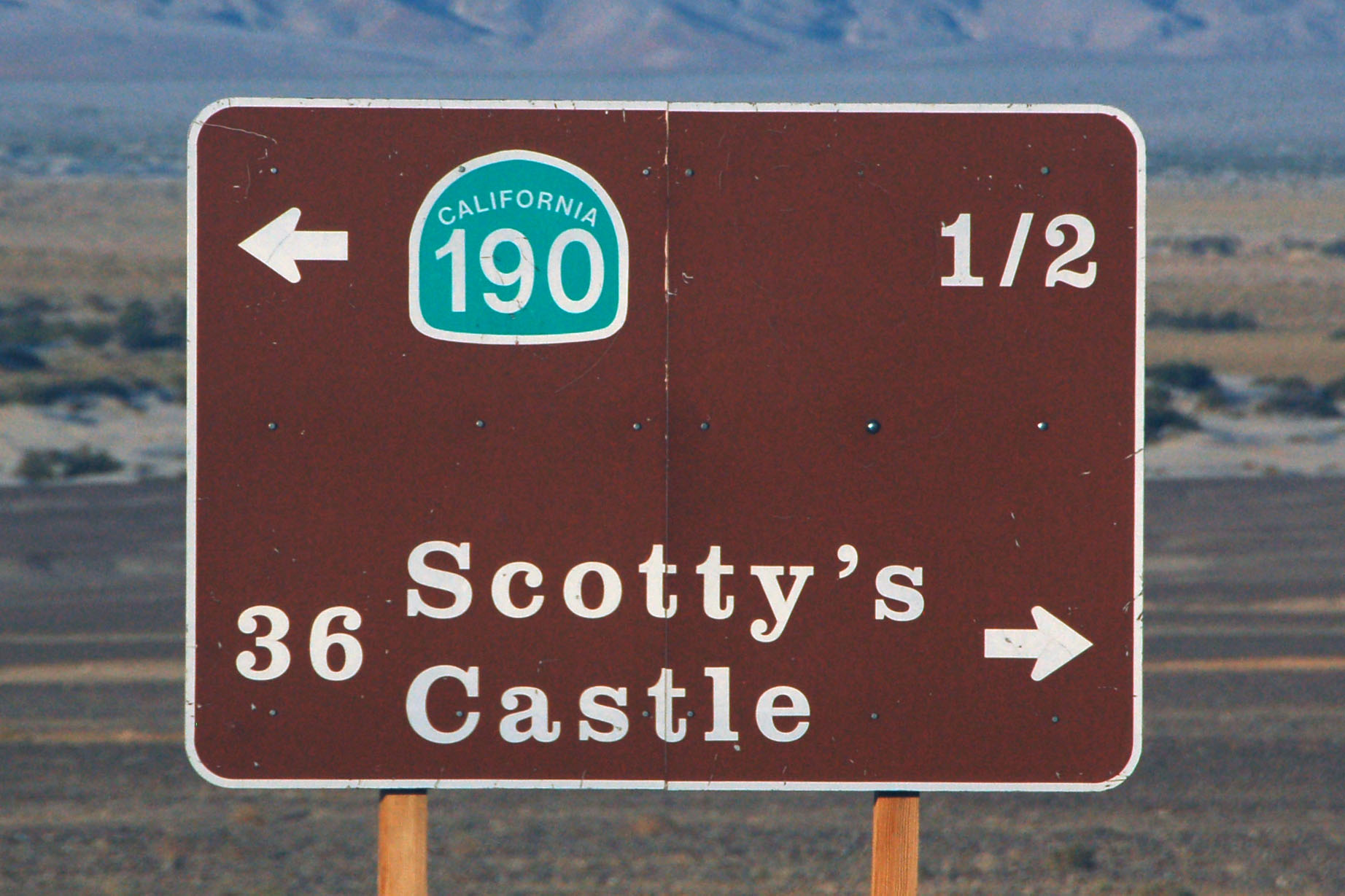
The idea that the California route marker is supposed to be a miner’s spade was apparently lost on whomever put this sign together.
This historical marker dates to 1962.
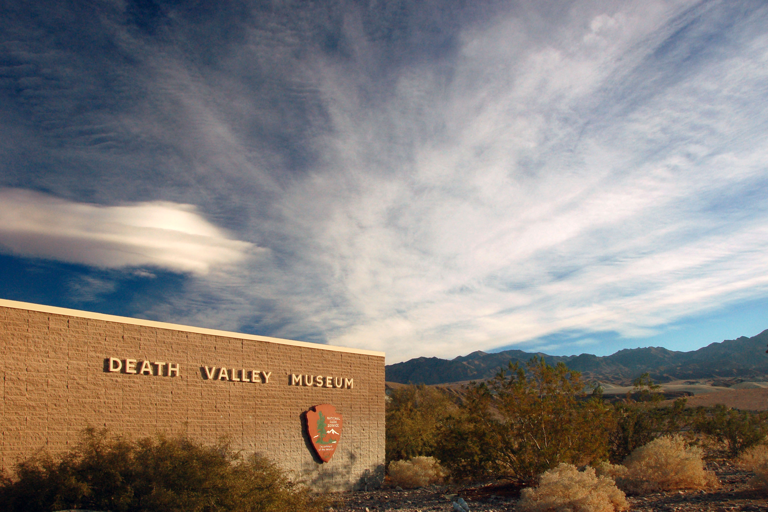
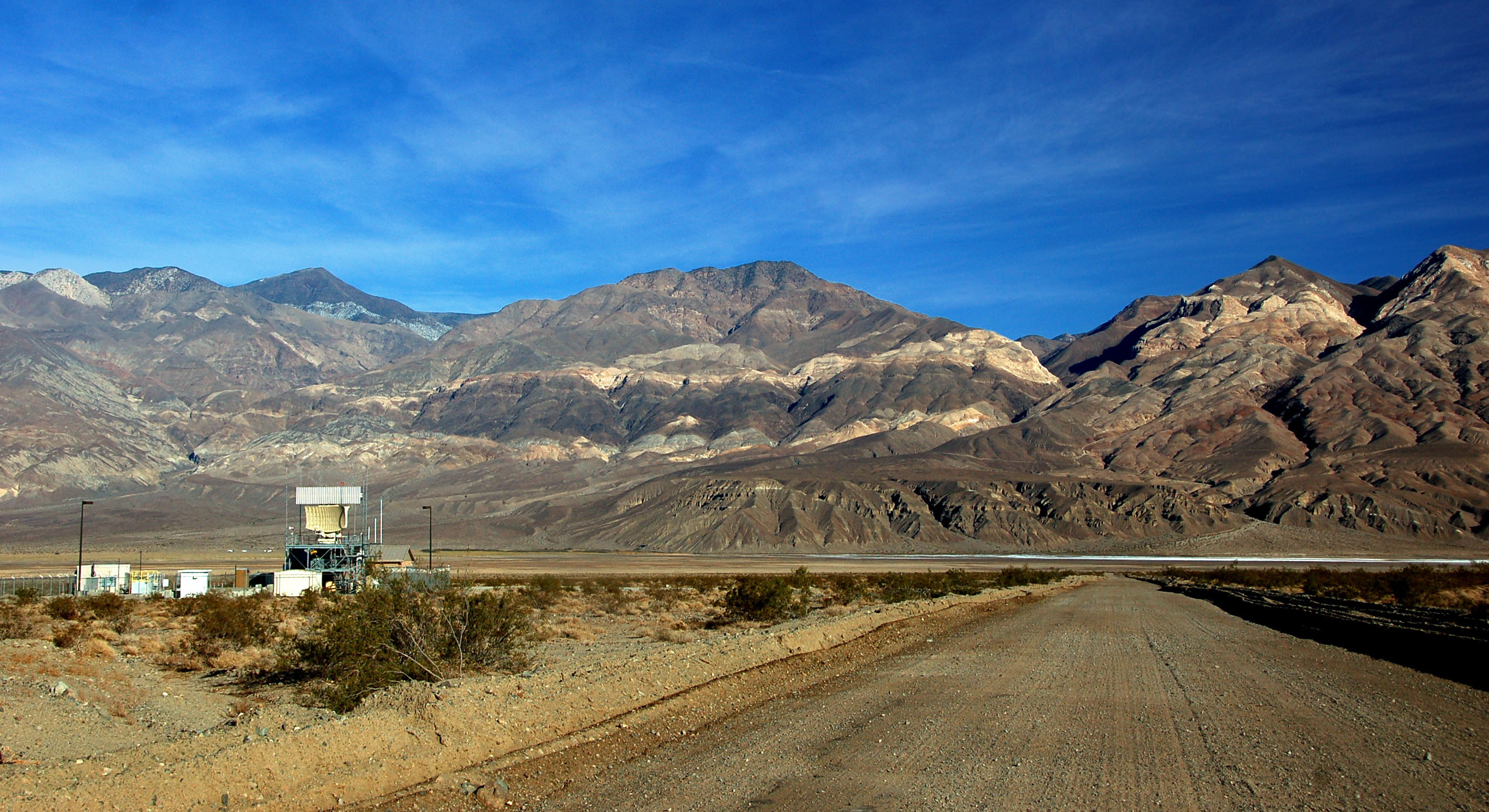
The Furnace Creek visitors’ center.
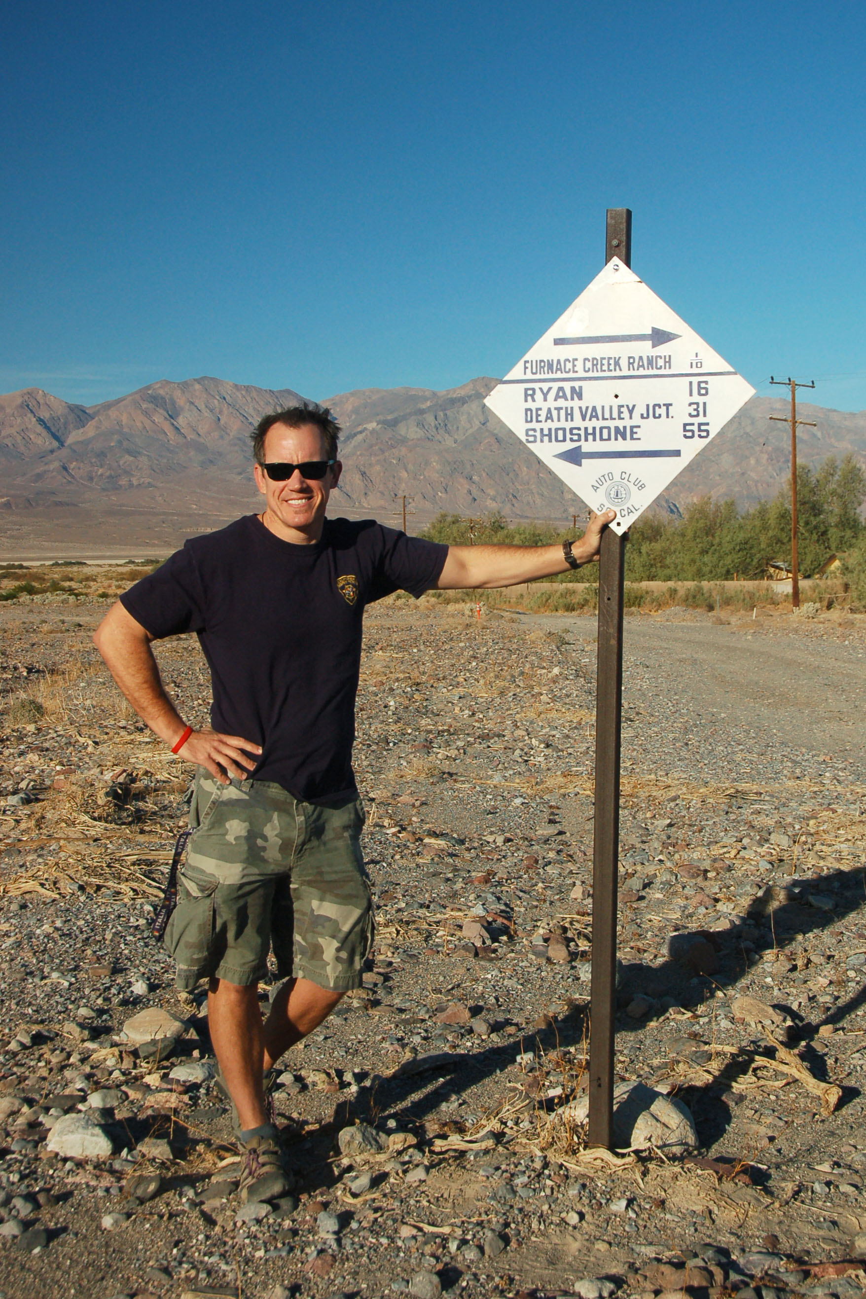
This may very well be the original post that this sign once hung on! (If not this exact spot, then within a couple dozen feet for sure.) Now the sign is in Jeff’s collection.
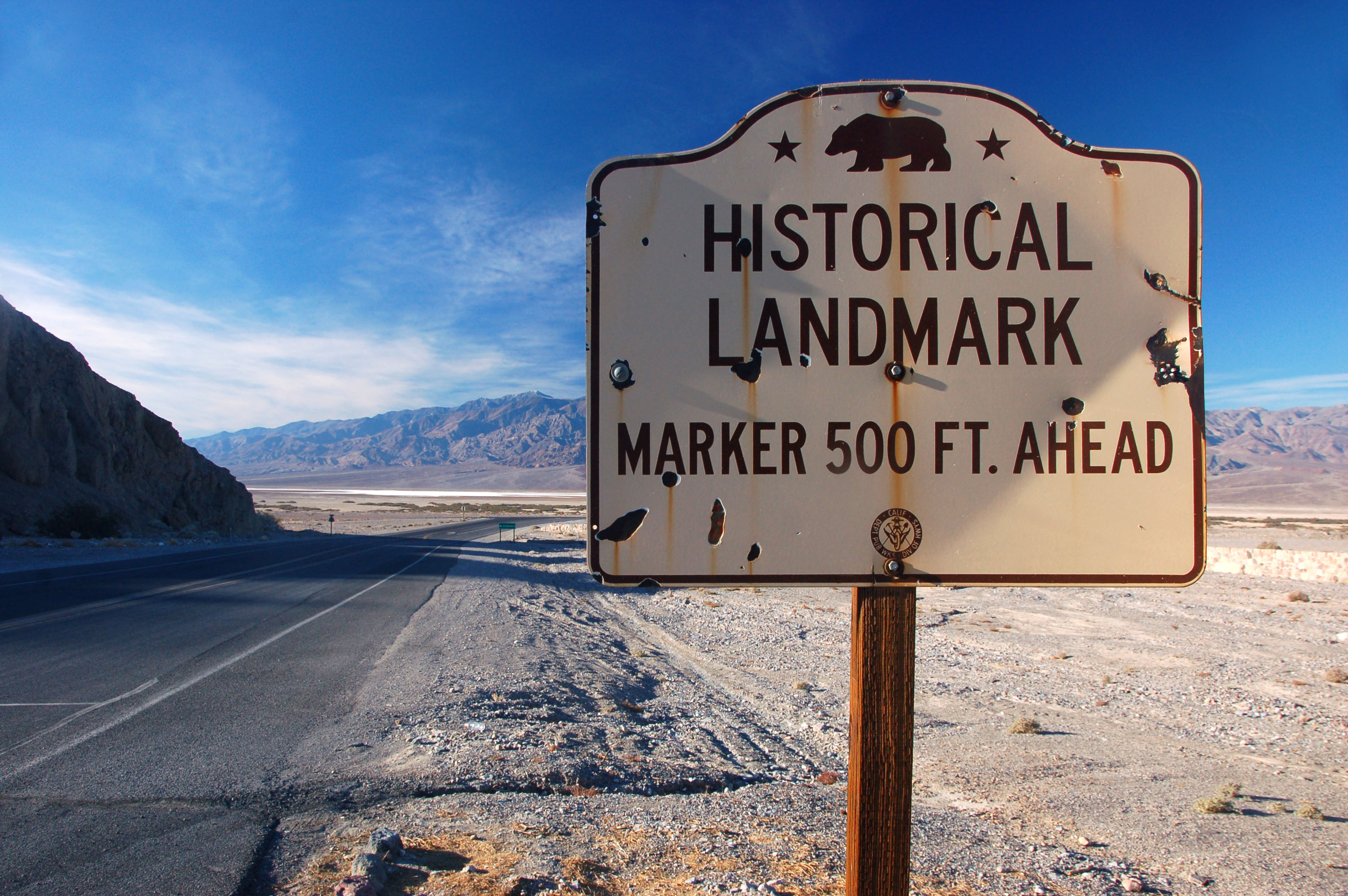
A 1955 example of a historical marker. Note the Division of Highways logo at the bottom. They dropped that midway through 1956.
A fairly typical view of the eastern rim of Badwaster Basin.
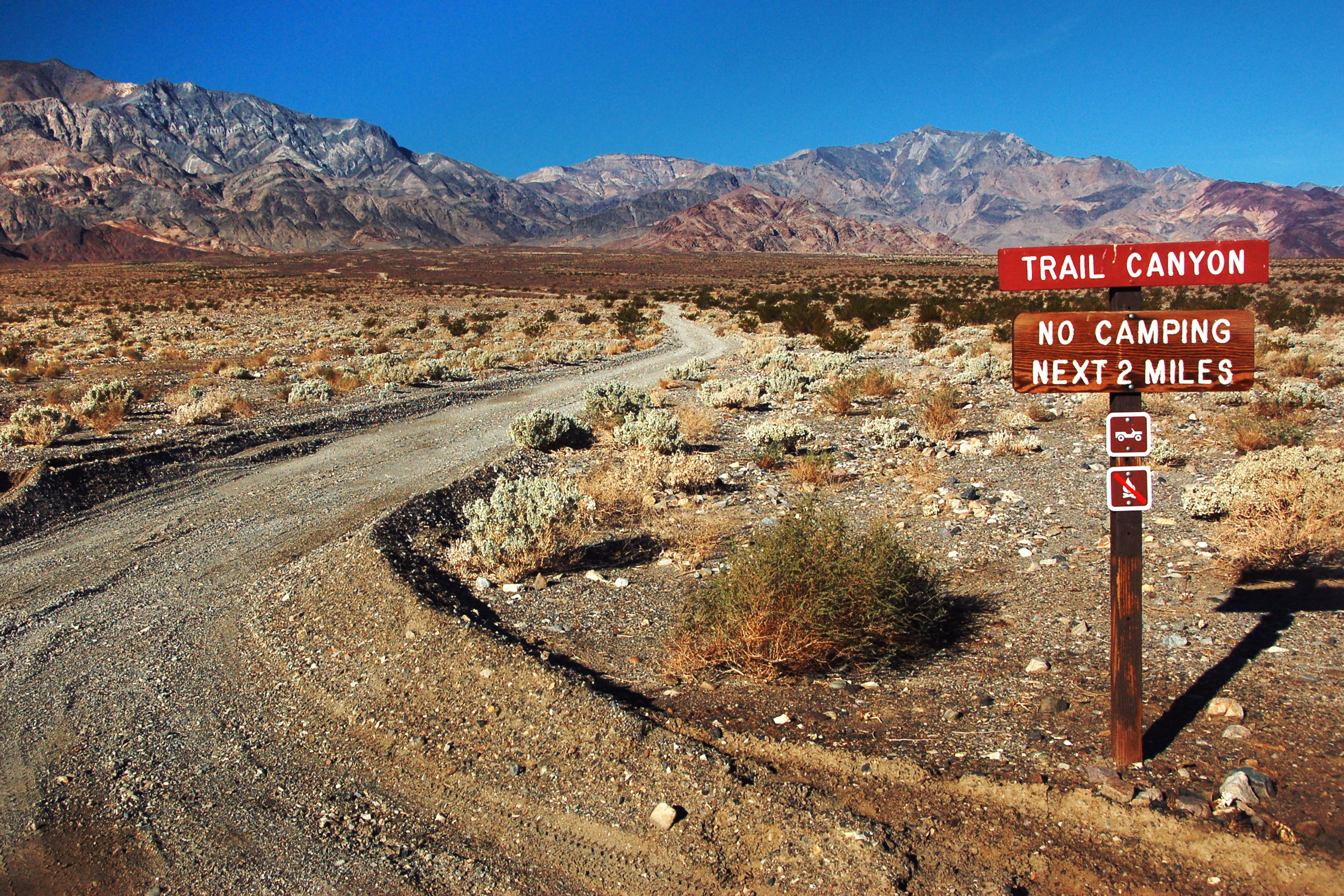
And the western rim. This is one of the many dirt roads we didn’t travel on. Really, we didn’t – we didn’t have a good enough vehicle. It is impossible to ask for a high-clearance 4×4 vehicle when renting, because then they know you’re planning to break the contract. If one is lucky, they can end up with one. Not this time.
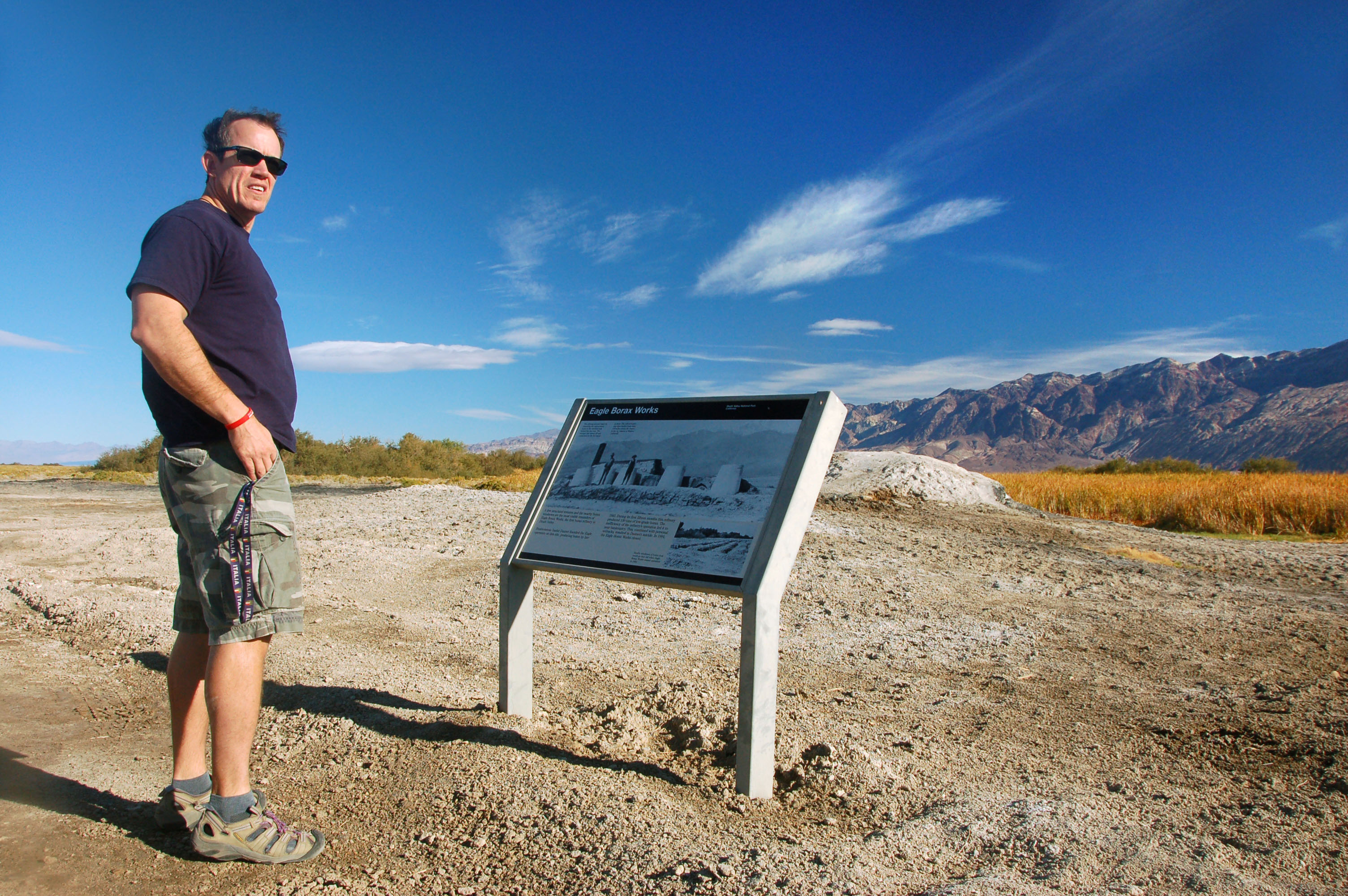
All that’s left of the Eagle Borax Works is this … information kiosk?? Jeff wonders “wtf, where did it go?”
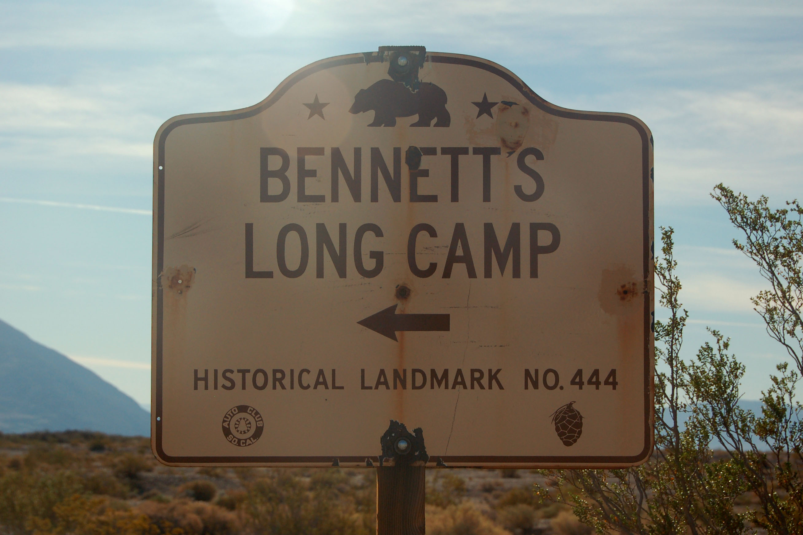
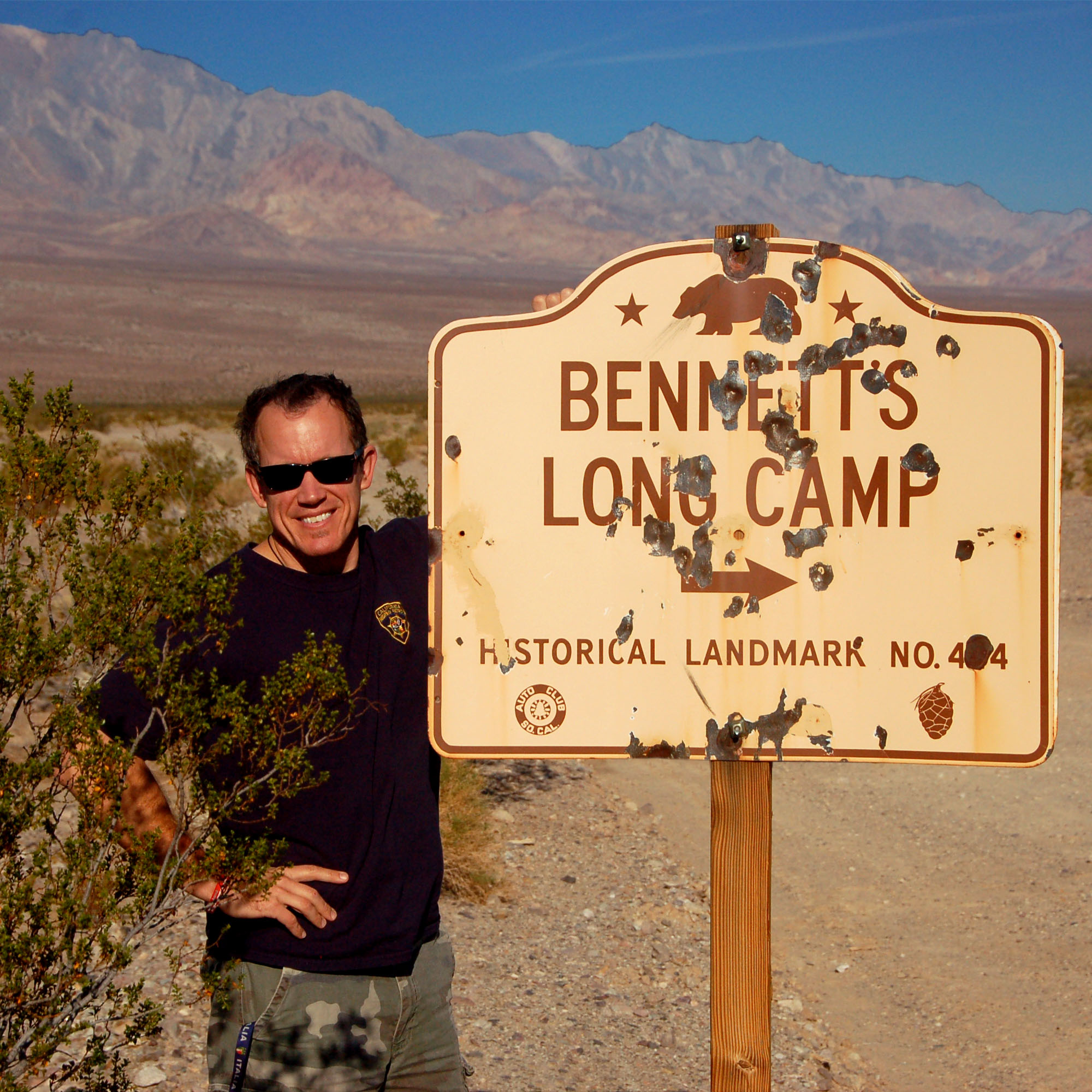
The other Bennett’s Long Camp sign.
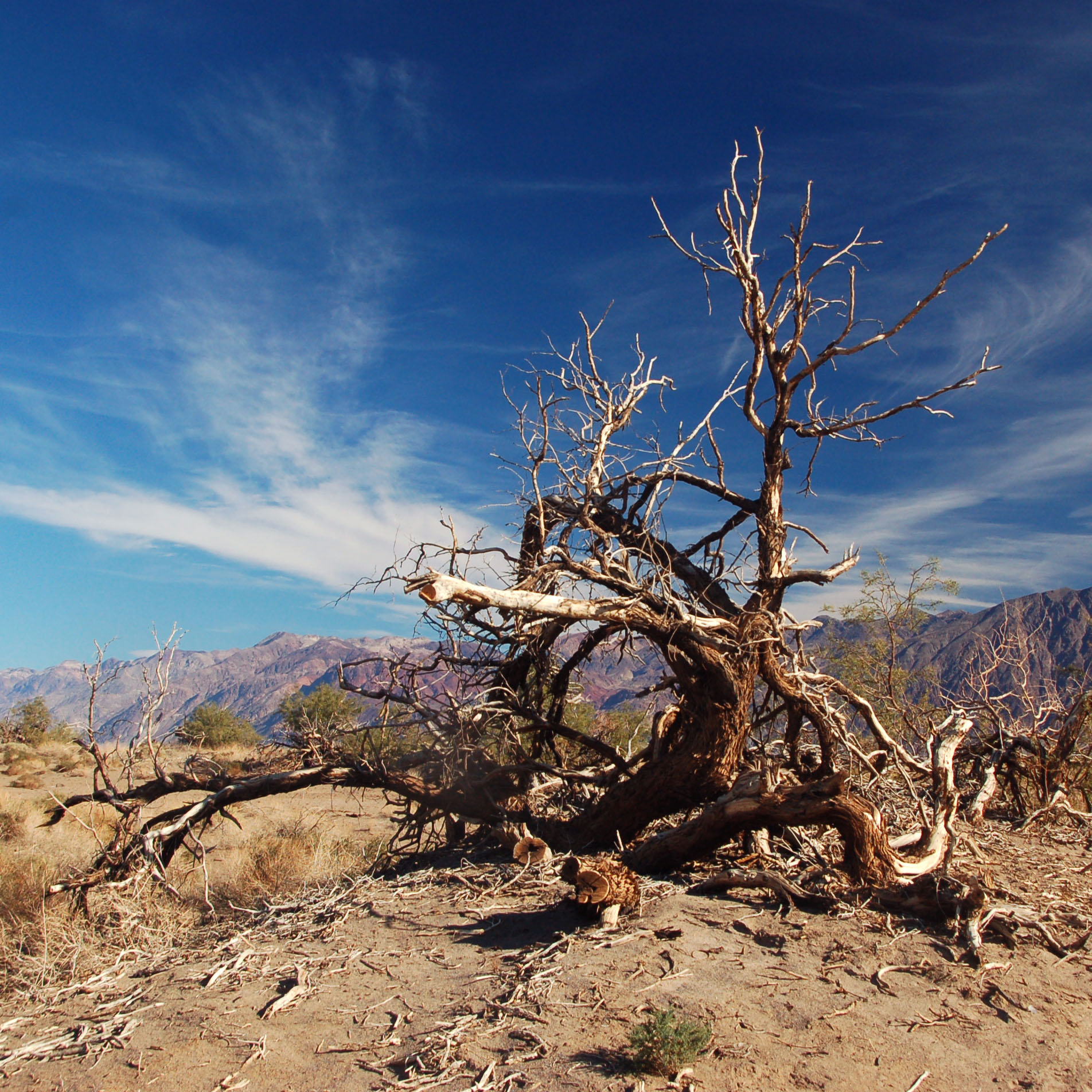
Guess what time it is? Yep, it’s time for another installment of Oddly Shaped Tree!
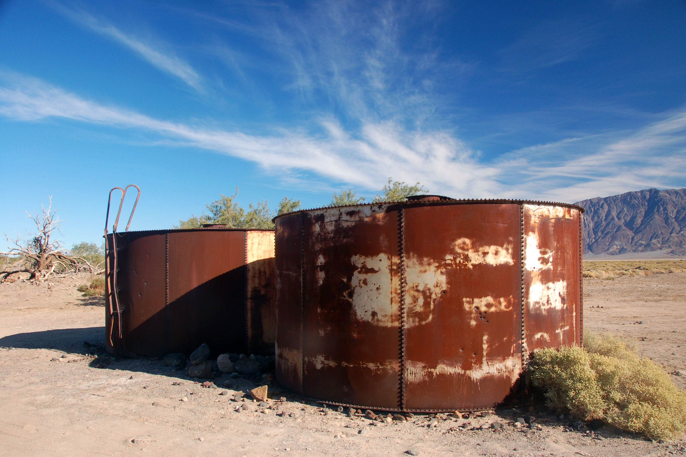
Abandoned equipment in Badwater Basin. Back in the day, this was one serious mining area!
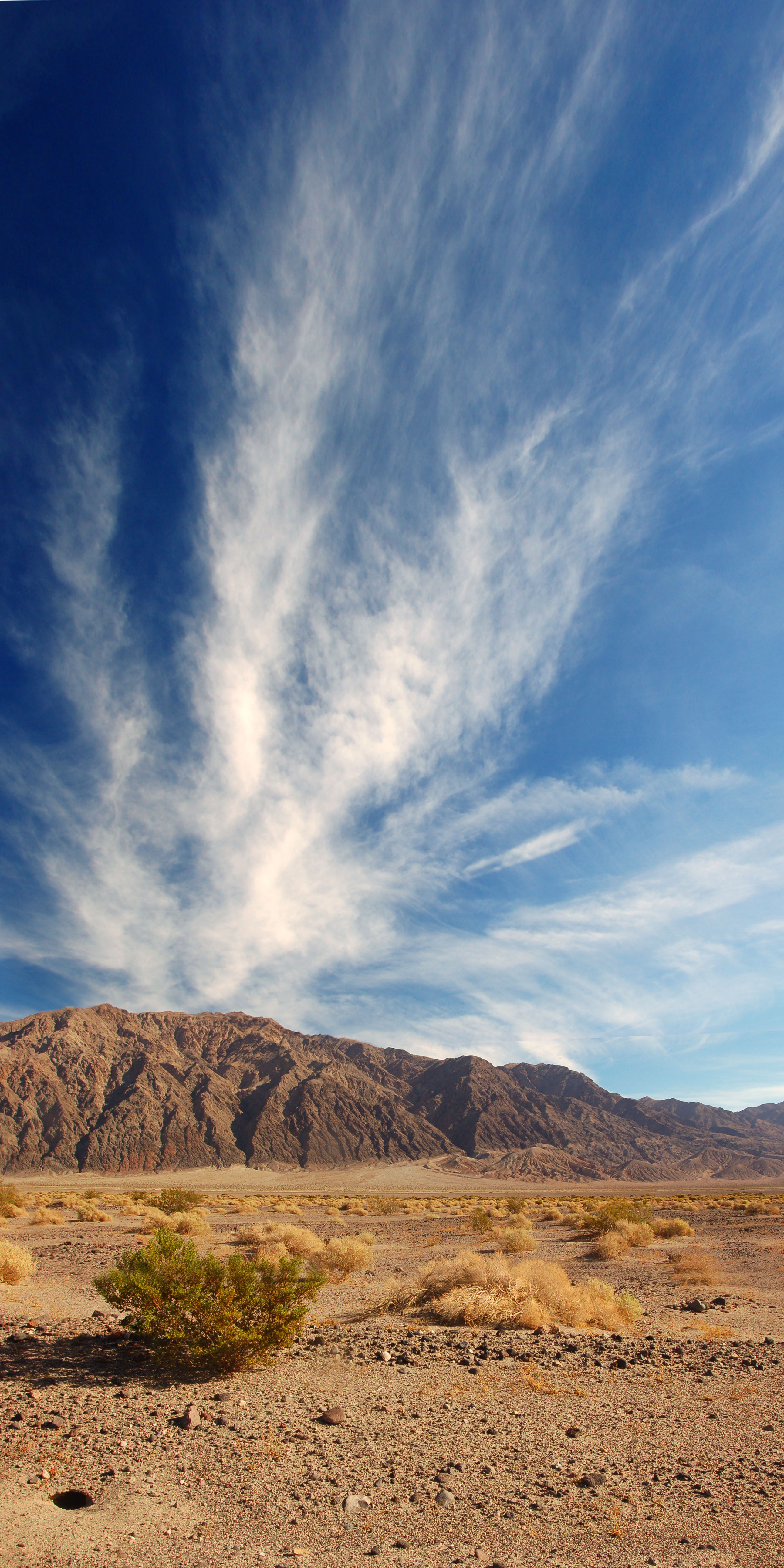
Perfect day for clouds.
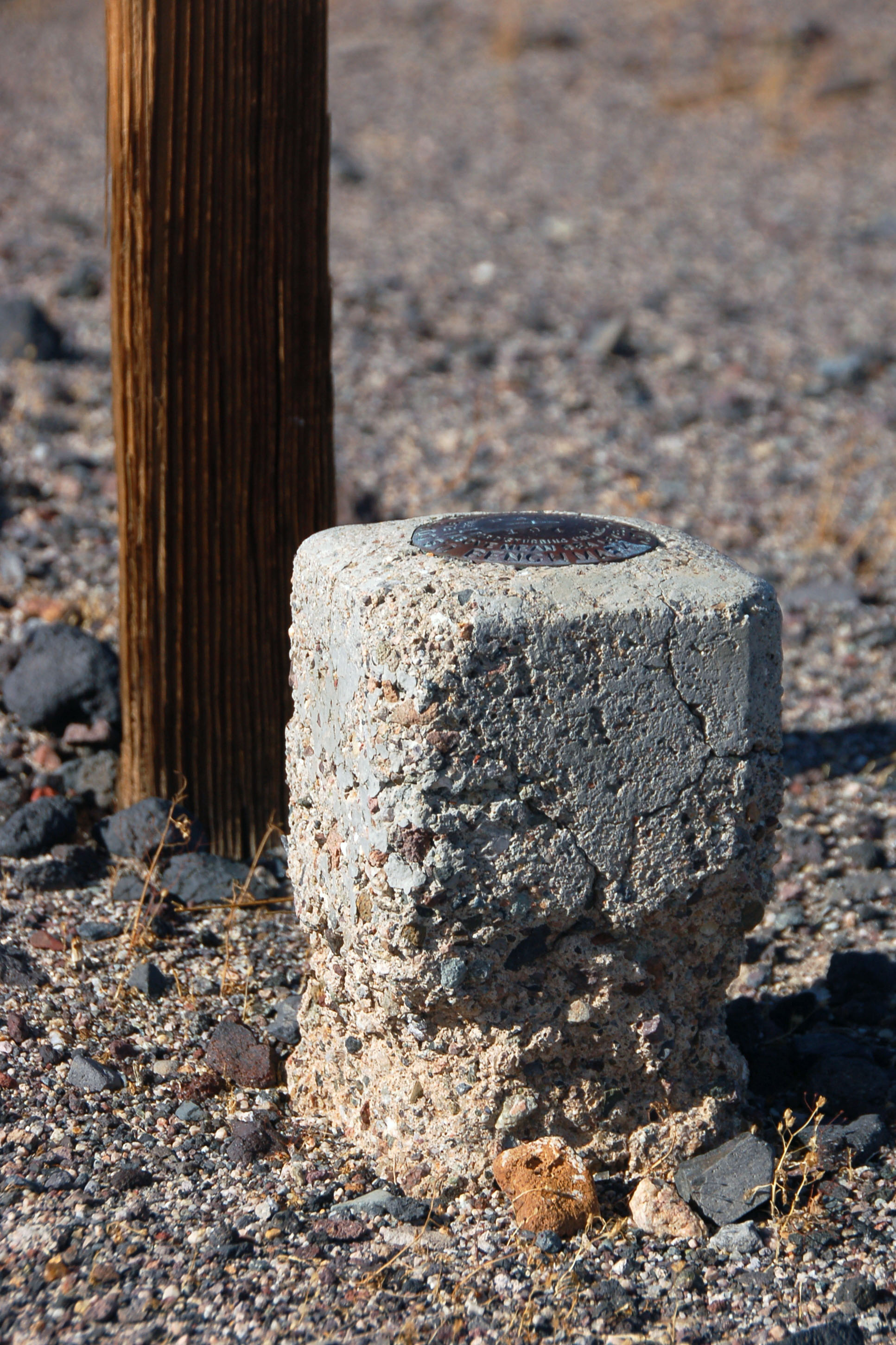
An old geological survey marker. It dates back to 1943.
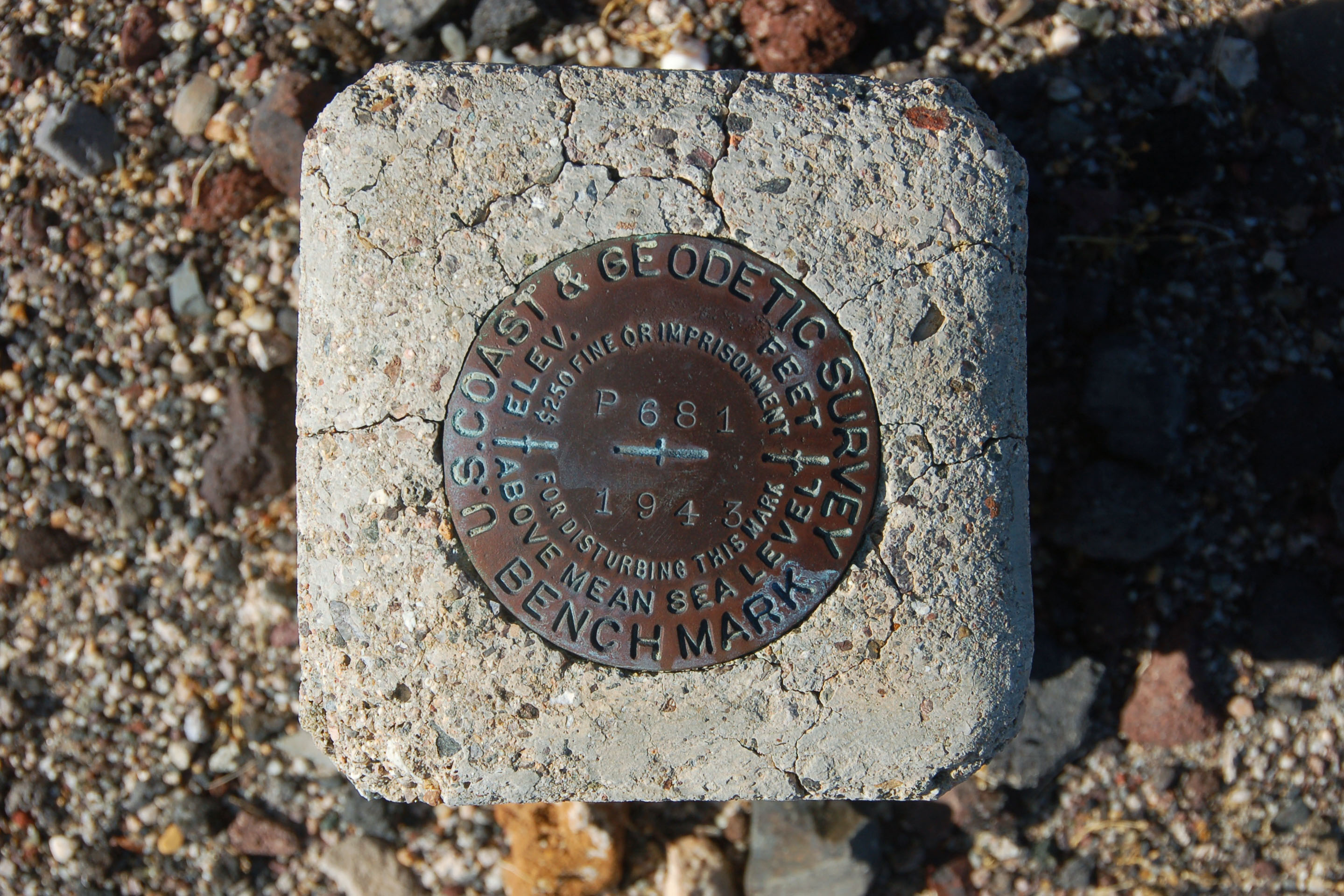
Too bad the elevation is not filled in – it would be well below sea level.
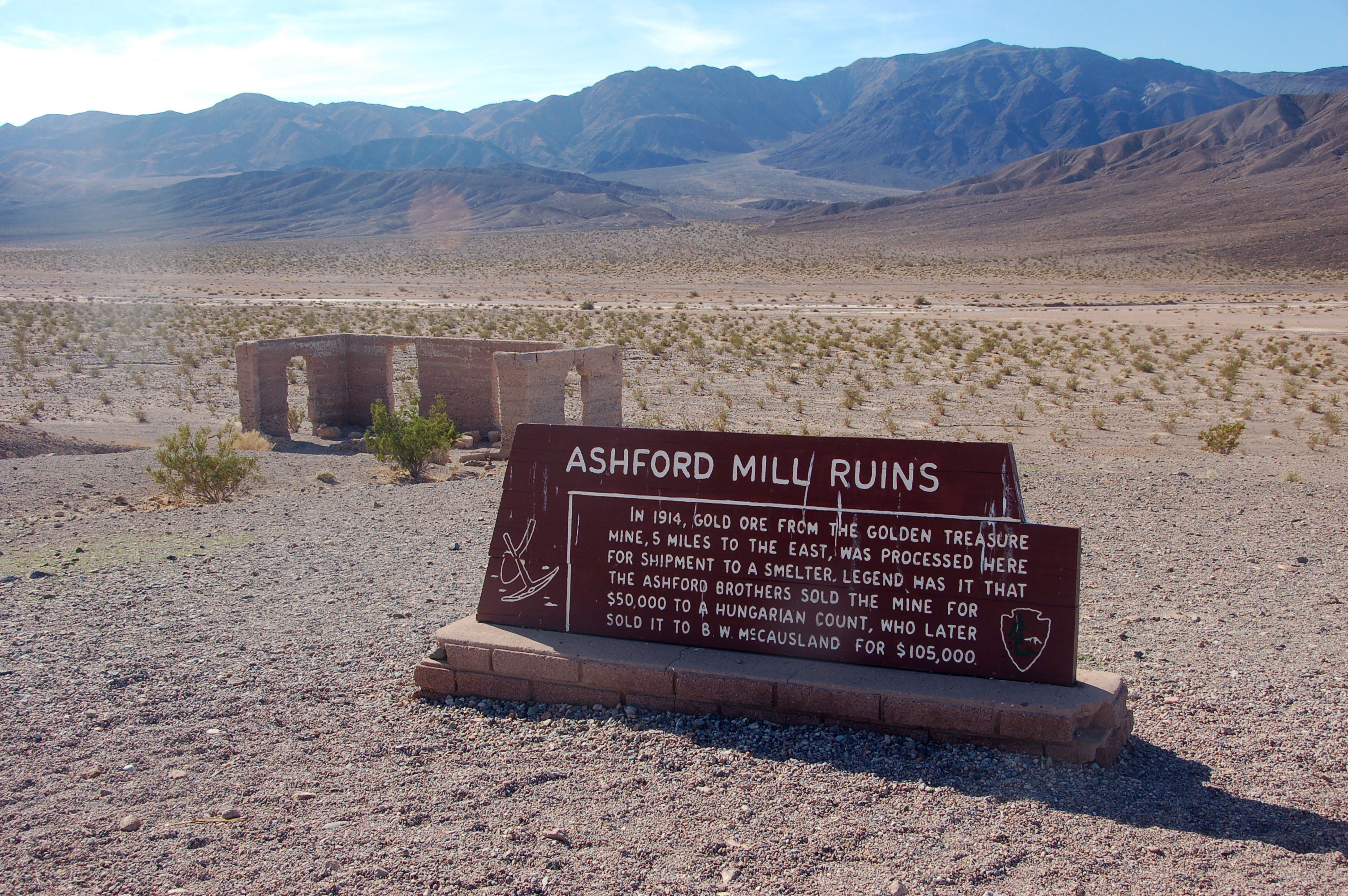
Those dang meddlesome Hungarians…
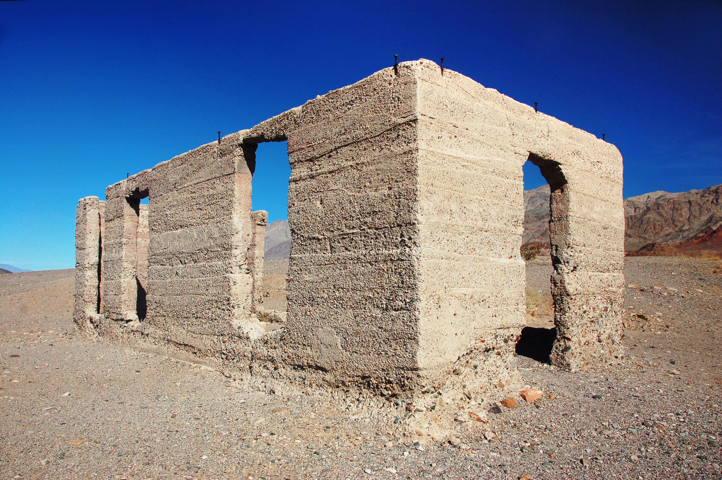
Fun with shapes at Ashford Mill.
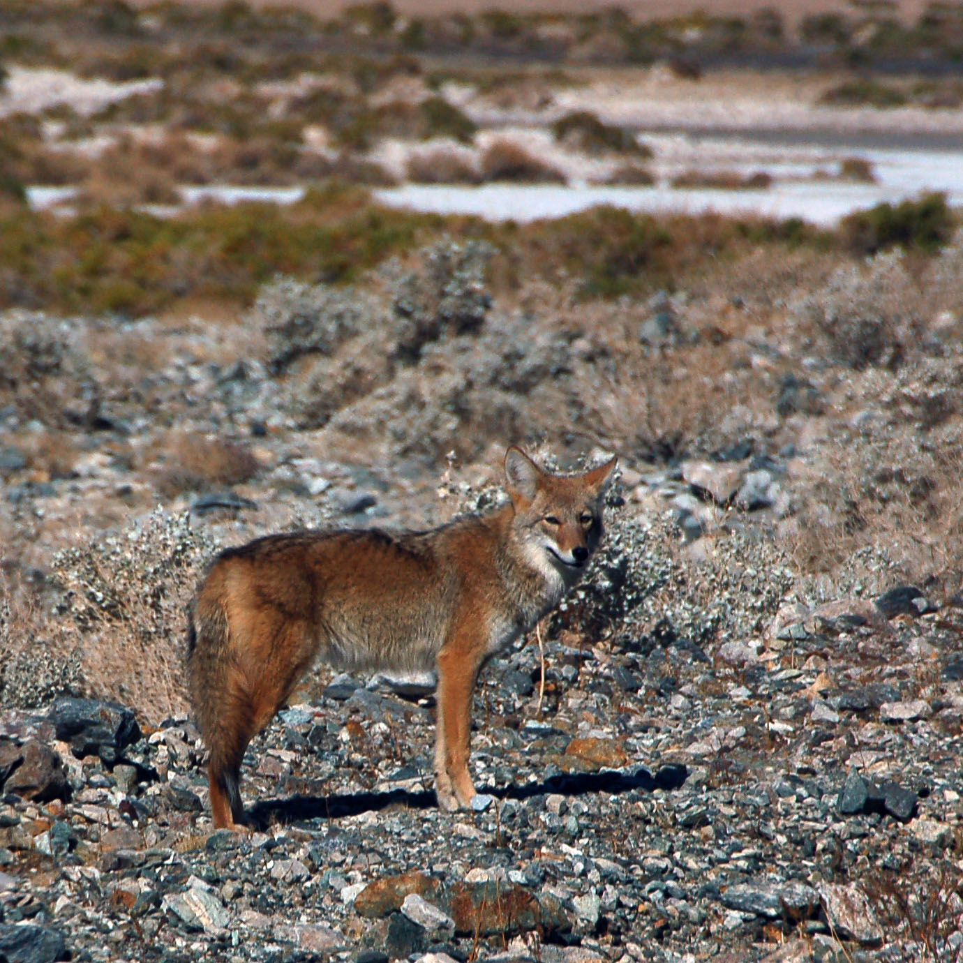
A coyote appears.
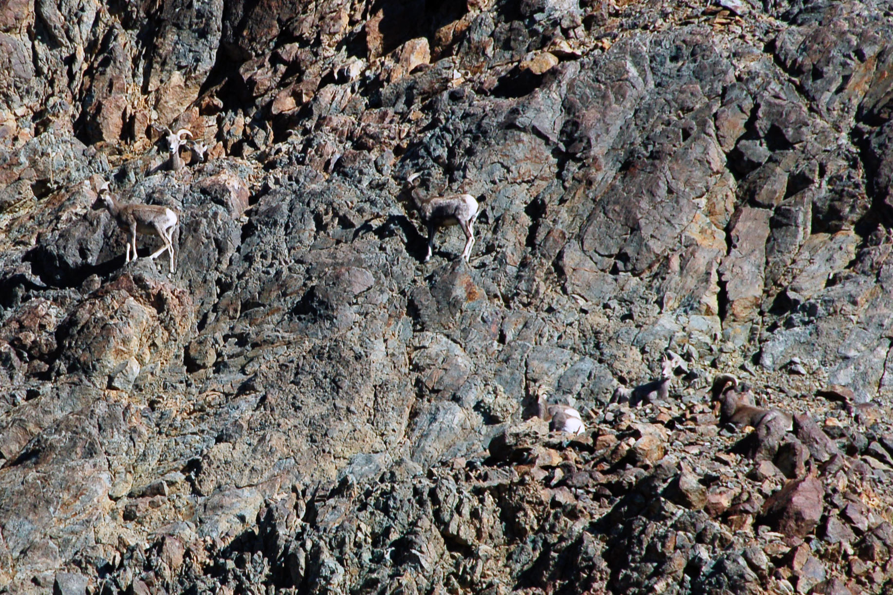
Spot the sheep. There are eight bighorn sheep in this picture.
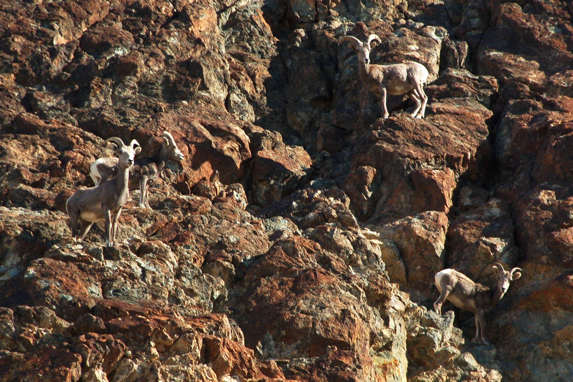
And four here.
And finally three, for a total of … fifteen!
Heading up the eastern basin road.
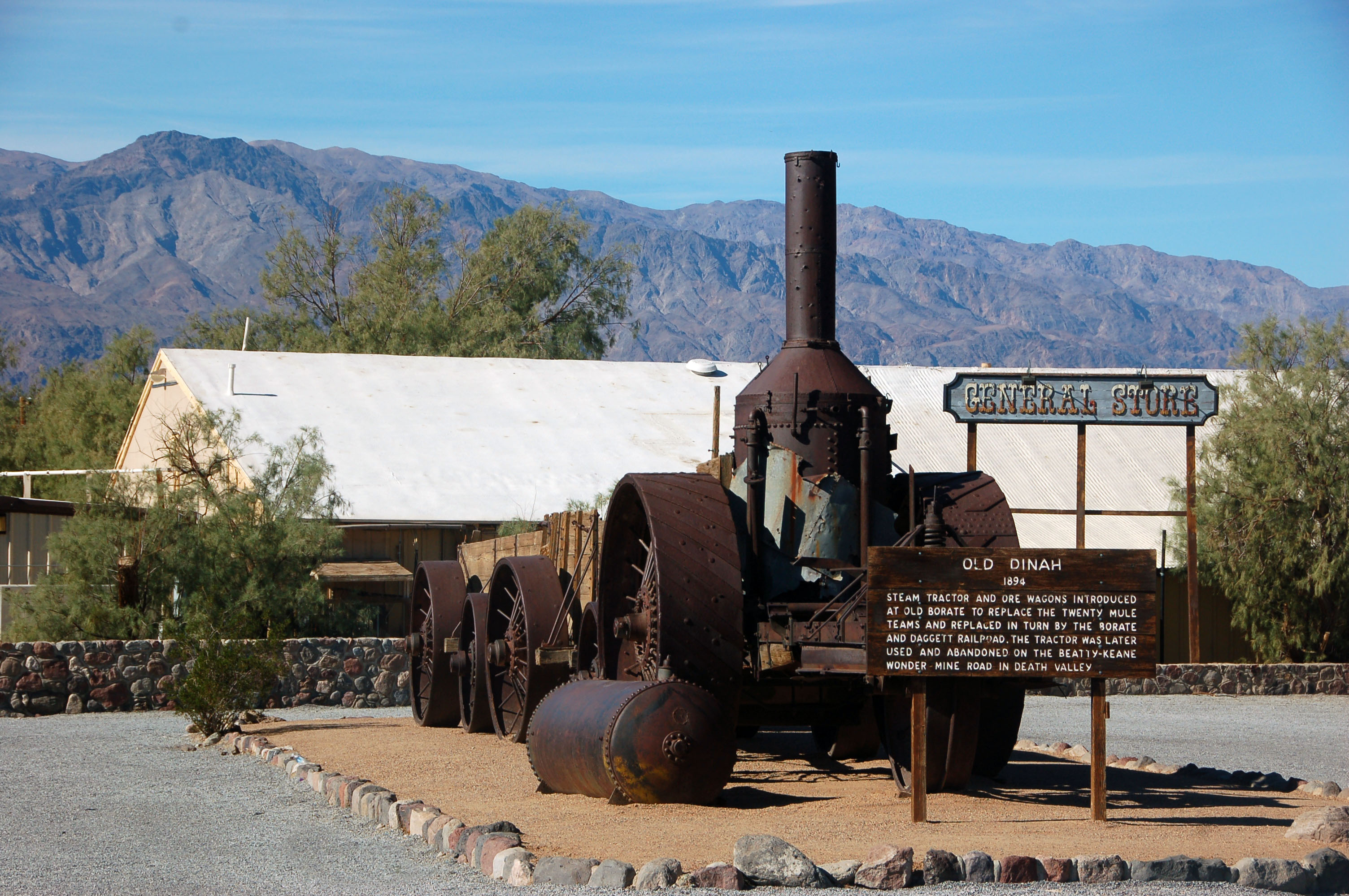
Old Dinah is now parked at Furnace Creek.
Looking back east, as we head towards Stovepipe Wells.
And one more of these. Plenty in Death Valley.
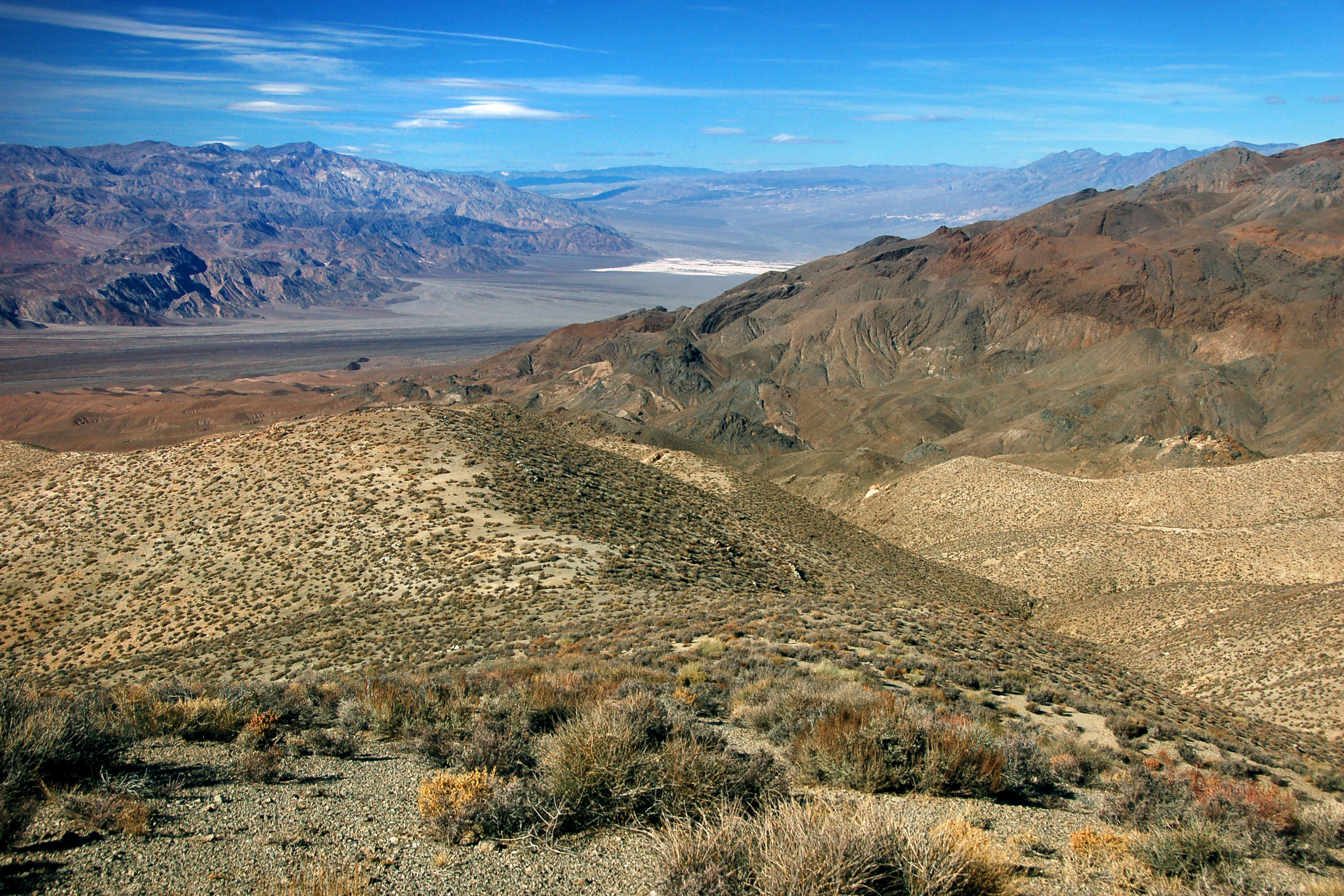
Top of the world. Well, at the very least, a local maximum. This is the Skidoo road, which leads to an old mining town. Alas, the truck couldn’t make it up the incline, so we hiked the last several hundred feet. This view is southeast, with Badwater Basin visible.
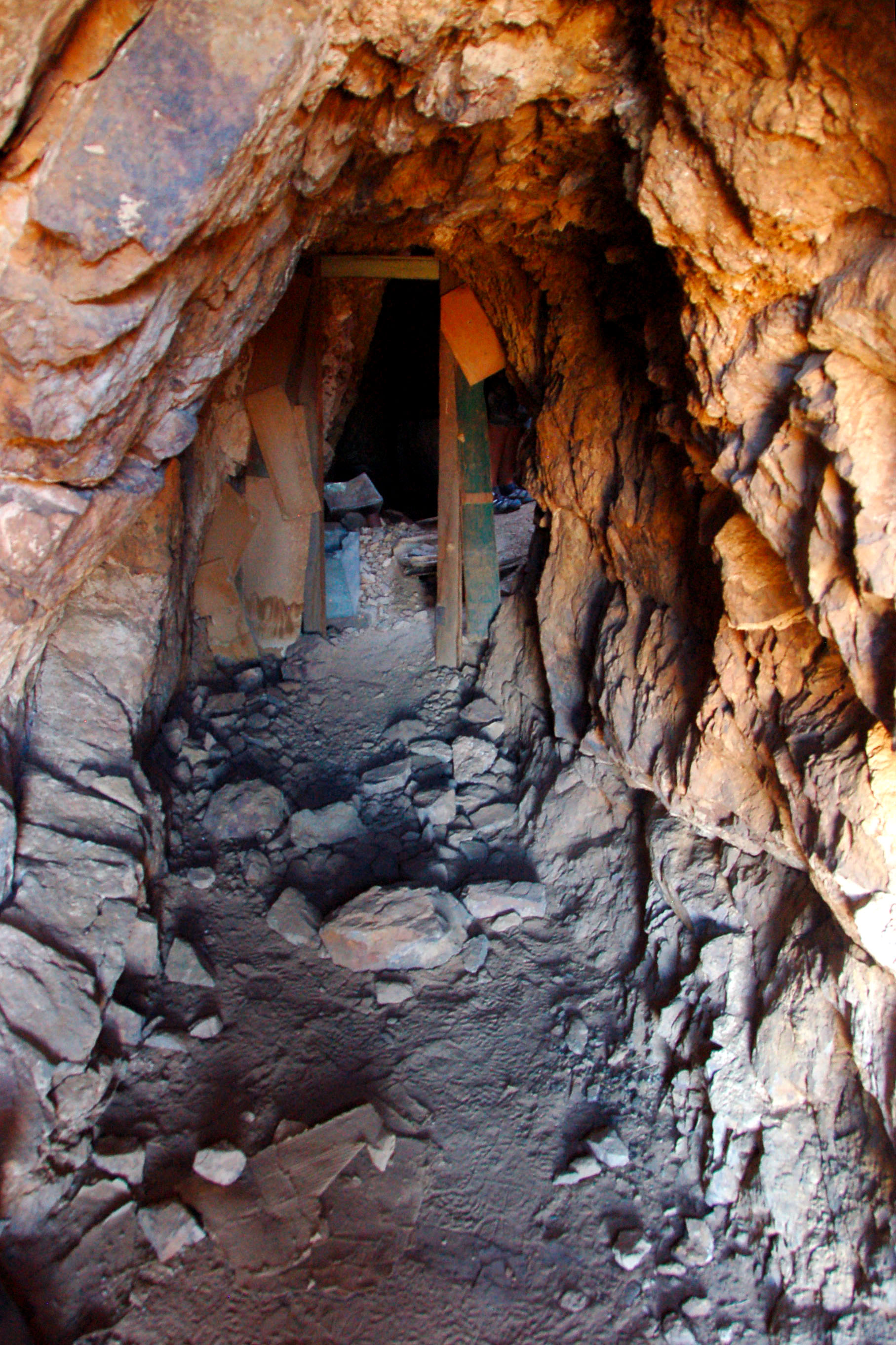
Pete Aguereberry’s mine, in the Panamint Range, to the west of Death Valley.
Fun with shapes at Pete Aguereberry’s old mine.
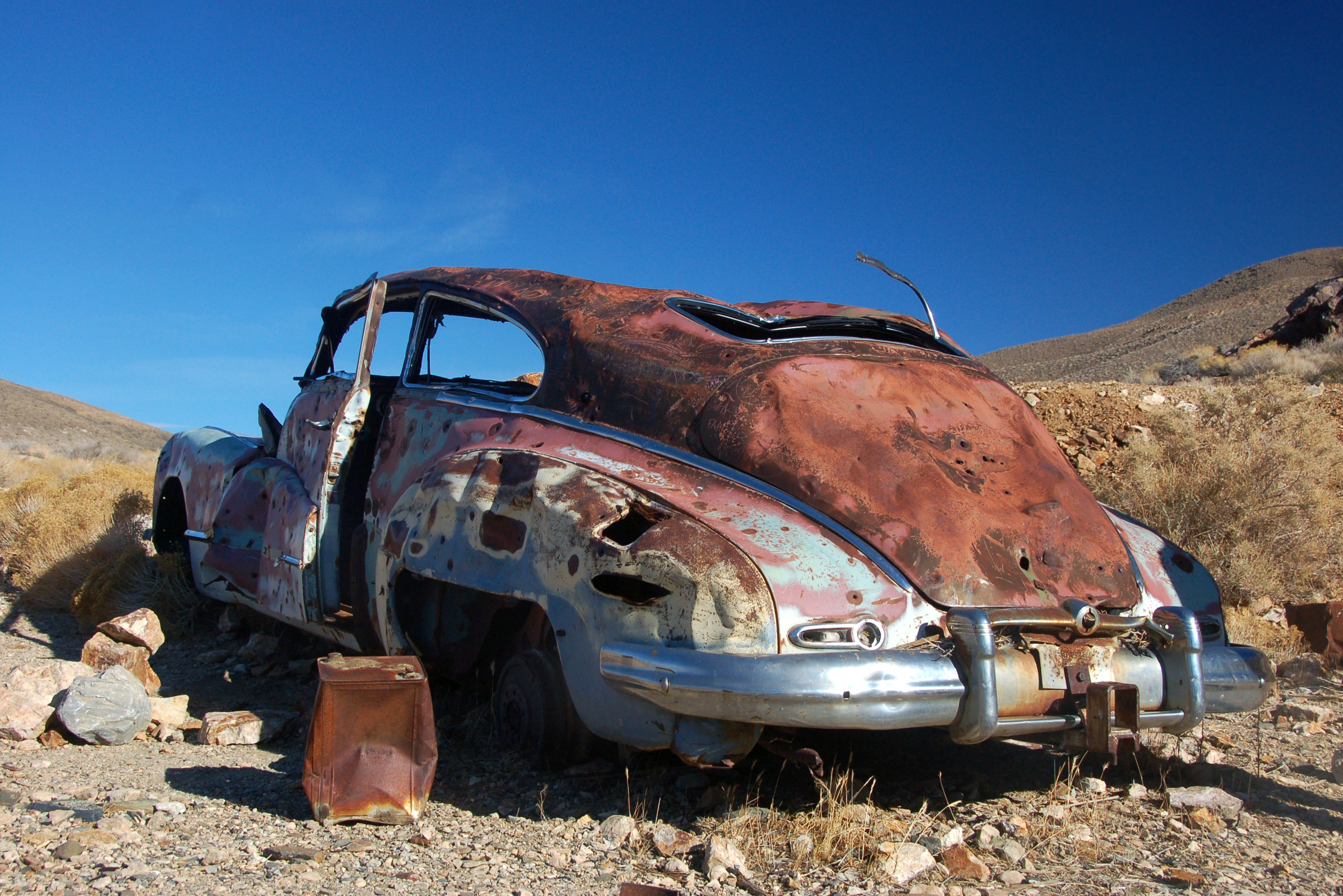
Pete’s Buick? Not quite – Pete died in 1945, and this is a 1951 Roadmaster.
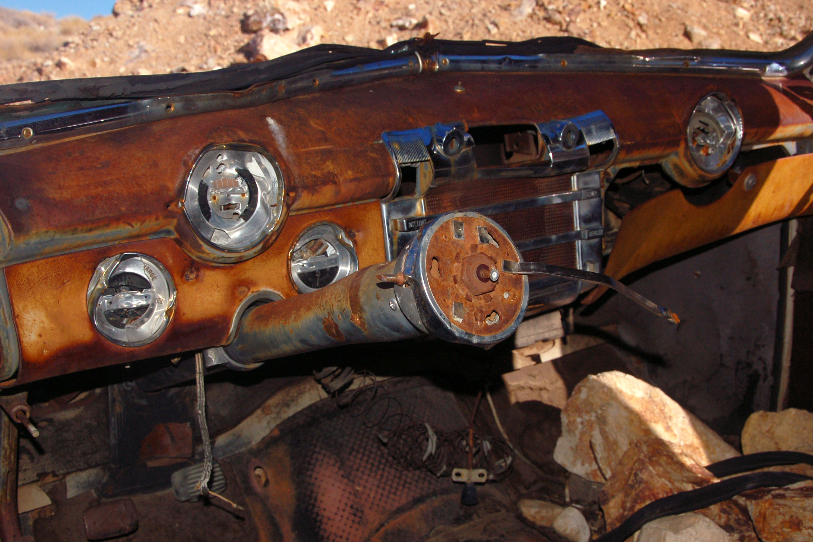
As you can see, the car is in perfectly serviceable shape, and ready to be driven off the lot.
The road to Ballarat. This was our last dirt road of the day, because our tire was deflating at an alarming rate…
One last moonshot, and then it’s full speed to the airport. We ended up making it, despite having to stop every 20 miles to re-inflate the tire. We figured that it would take over an hour to figure out how to change the tire, and that would cause Jeff to miss his plane.
After the dropoff, I change the tire, and … I was right! It took me an hour and 15 minutes at a gas station in Jean, Nevada, mainly because the spare tire was held on by some esoteric contraption, and the instruction manual may as well have been in Japanese. But hey, all’s well that ends well, and next time we’re securing a real 4×4 and going down some real roads!
Dale, can I borrow your International??

jake, where exactly was that benchmark. i have never seen it. did you drive all the way up to Skidoo, where the descriptive markers were? seems to be it was 9 miles of dirt road. too bad you didnt go north to the eureka sand dunes or the ubehebe crater. great photos. john boal
the benchmark is on the West Side road, about a 25 miles south of the turnoff from the Badwater road.
we drove up to the kiosk for Skidoo, which apparently was in the middle of the townsite, but took only one of the branching trails to the mines, and even that we could only drive halfway before we walked the rest.
we couldn’t have made the Sand Dunes or the crater (or the Racetrack) because our vehicle was just not up to the challenge, and it let us know by slowly leaking.
darn, i can only count 7 in that photo with the 8 sheep! it’s driving me crazy.
but those are really great shots, i missed a ton when i went to death valley, must go back.
the 8th is a tough find – it’s a dark one and the only way to identify it is because it is too smooth to be a rock.
Great shots as usual Jake…Buick is 46 to 48. Can’t believe those ACSC signs are still there, must be watched by satellite.
even older than we had thought! glad you like the photos :)
Jake,
Thank you for sending me your wonderful trip sumnation. As an old road warrior myself, I never visited Death Valley. I now feel I must go an see it for myself after seeing your great pictures. The old signs always help my interest. As a retired railroader, I was unaware that there was a railroad in that area. Any signs of tracks still on the ground? Thank you again for taking me on an excellent excursion thru Death Valley.
Larry Granfield
do you mean the railroad in Rhyolite? We did not see evidence of tracks; just the old station.
I wonder what the name of the railroad in that area was called. That looks like quite a large station.
Larry
I’ll have to find out … Devon knows everything, perhaps he’ll know this too!
I agree with Sam Flowers, old Buick could have been a 1942, that same body style went from 1942-1948, since the owner died in 1945. Back in the day I collected old Buicks, I had a 1942 with the same body style and dash for 27 yrs, just sold it about 4 yrs ago.
Larry
The Bennett’s Long Camp signs were posted in early 1950.
The was no railroad to Rhyolite, only the station. Town fizzled before one could be built.
Sorry i spoke too soon re the previous comment #13.
The Las Vegas and Tonopah Ry. brought a line to Rhyolite in late 1906.The company went out of business 12 years later and the tracks were torn up. Part of the L.V. & T. road bed near Beatty was eventually used for Nevada US 95. The expensive depot at Rhyolite remained, and was used as a casino for a time.
1950 for the Long Camp signs? how do you know for sure? I had guessed 1949 because that is what the actual historical marker itself says on the brass plaque.
March 11, 1950 was the posting date for the Bennett’s Long Camp Landmark signs according to road sign intelligence. Maybe the brass plaque was installed while they awaited the signage.
They might have had a big unveiling ceremony for the plaque, part of one the Death Valley 49er Encampment extravaganzas they had then. The signs may have been posted later for whatever reason. Just a not so educated guess.
how did you find out about March 11th, 1950? The sign itself certainly doesn’t indicate anything that specific!