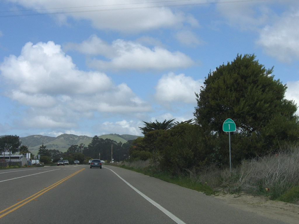
| California 1 north |
|---|
|
|
|
|
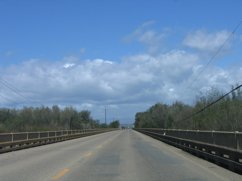
Crossing the Santa Maria River, California 1 retains two lanes. This bridge was built in 1955 and has not been modified since its original construction. Photos taken 03/18/06. |
|
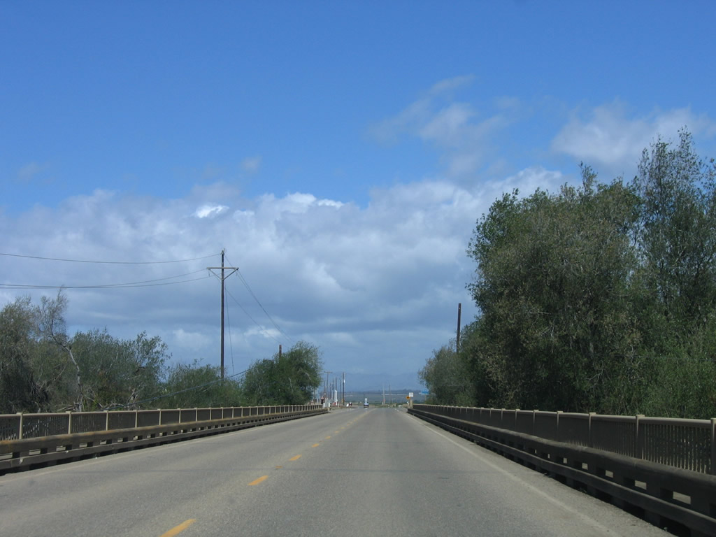
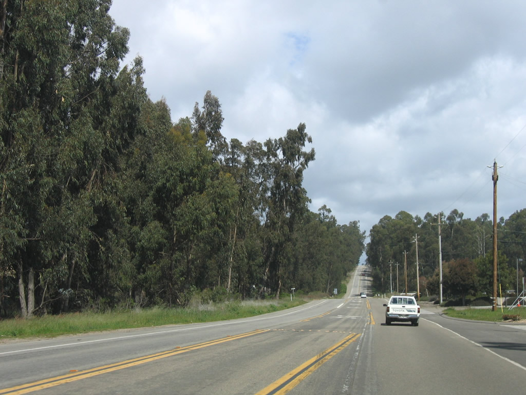
The first intersection along California 1 (Cabrillo Highway) north is with Thornberry Road. Photo taken 03/18/06. |
|
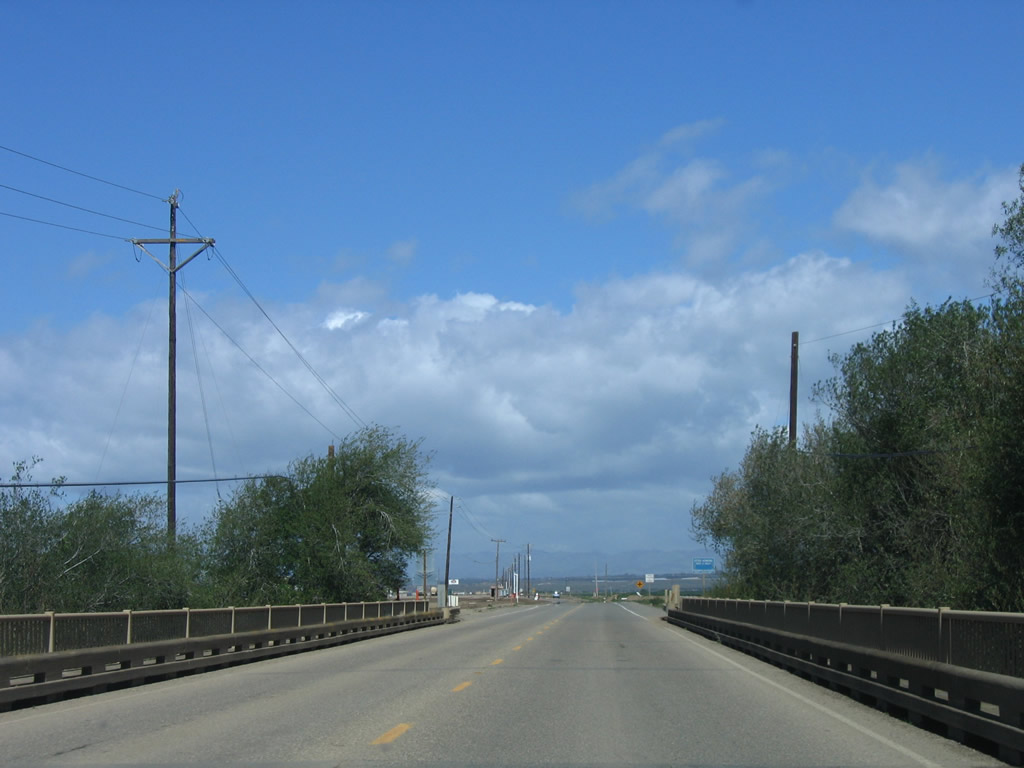
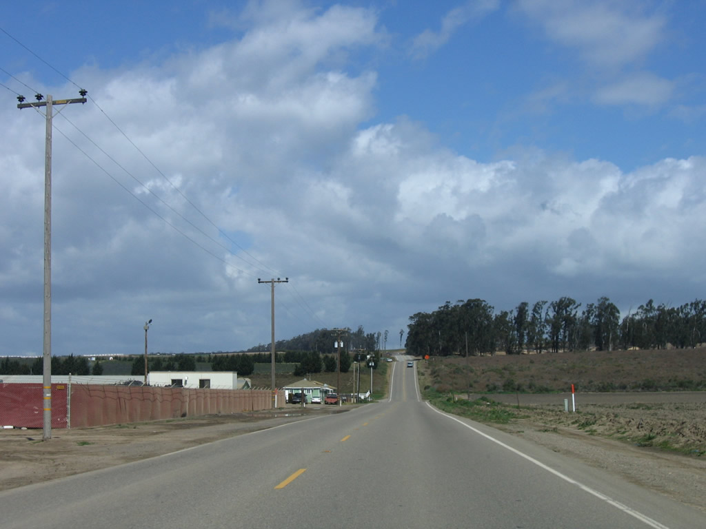
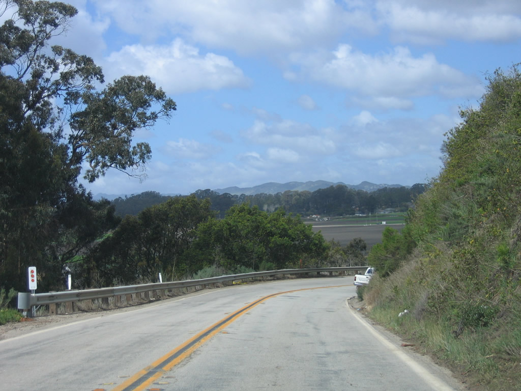
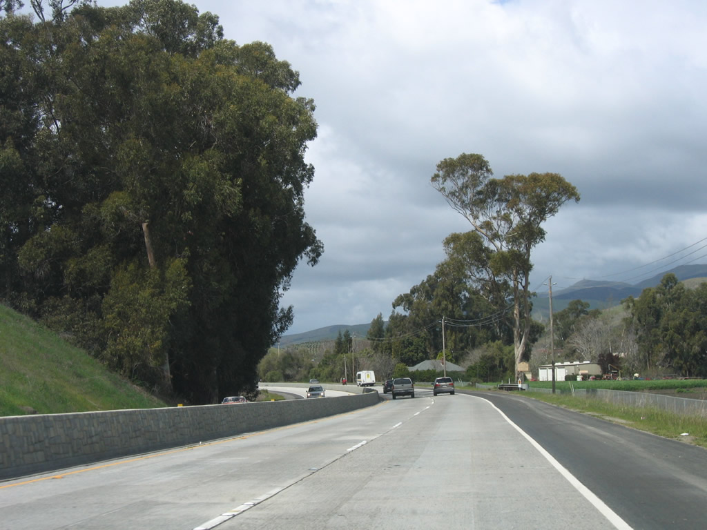
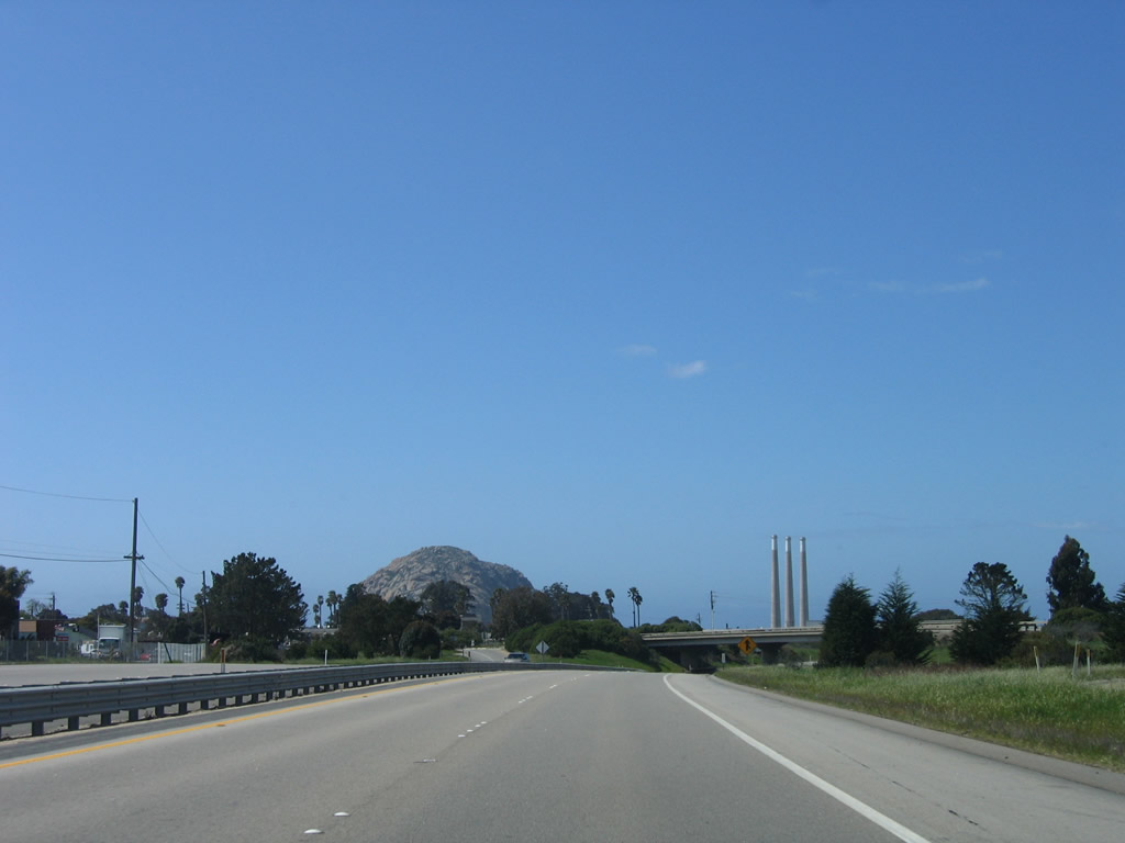
Farmland dominates the view along California 1 (Cabrillo Highway) north as it proceeds through southern San Luis Obispo County. Photo taken 03/18/06. |
|
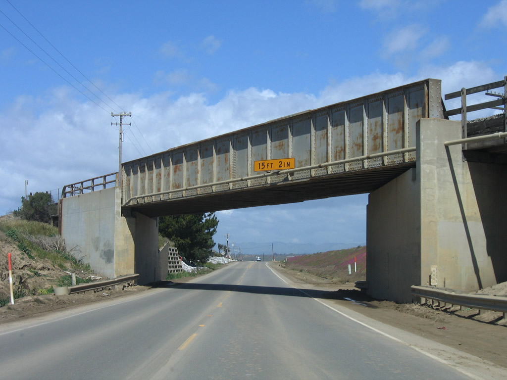
A subway allows California 1 to pass under a set of railroad tracks that have paralleled the coastal route since leaving Guadalupe. Photo taken 03/18/06. |
|
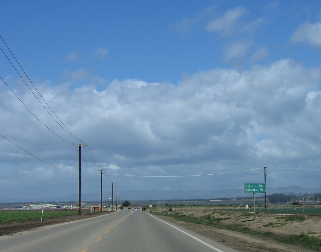
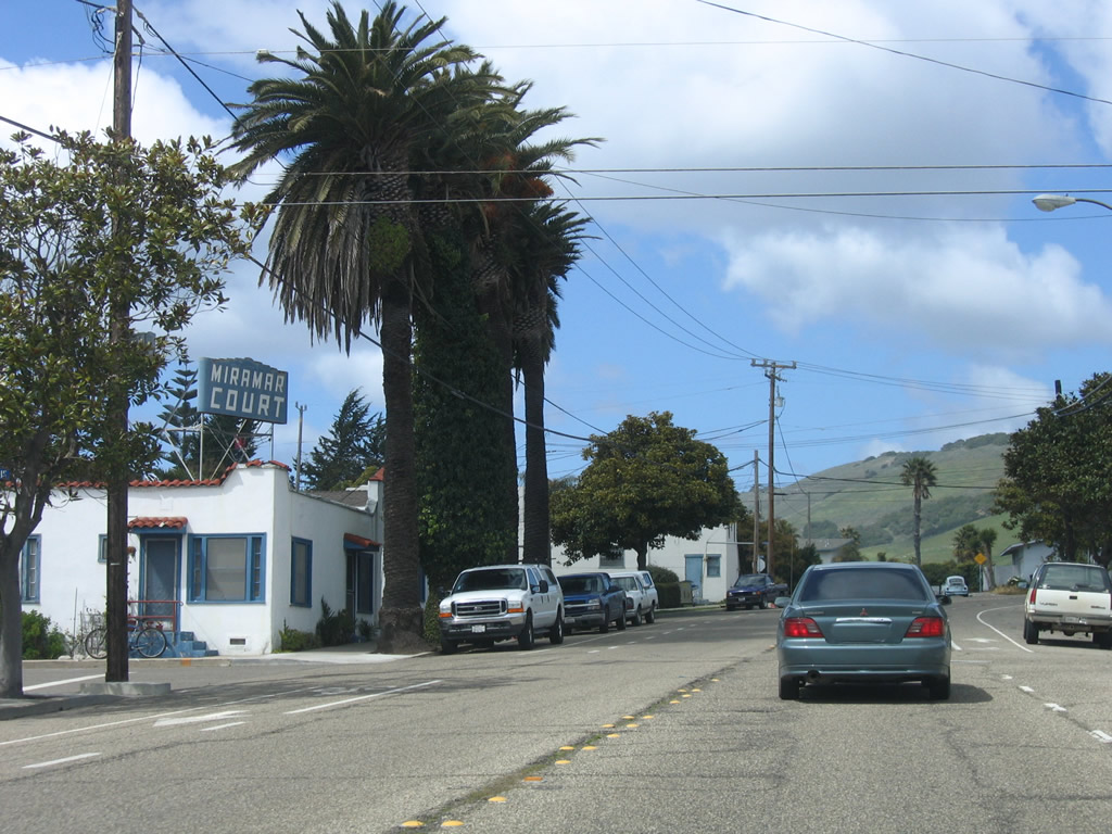
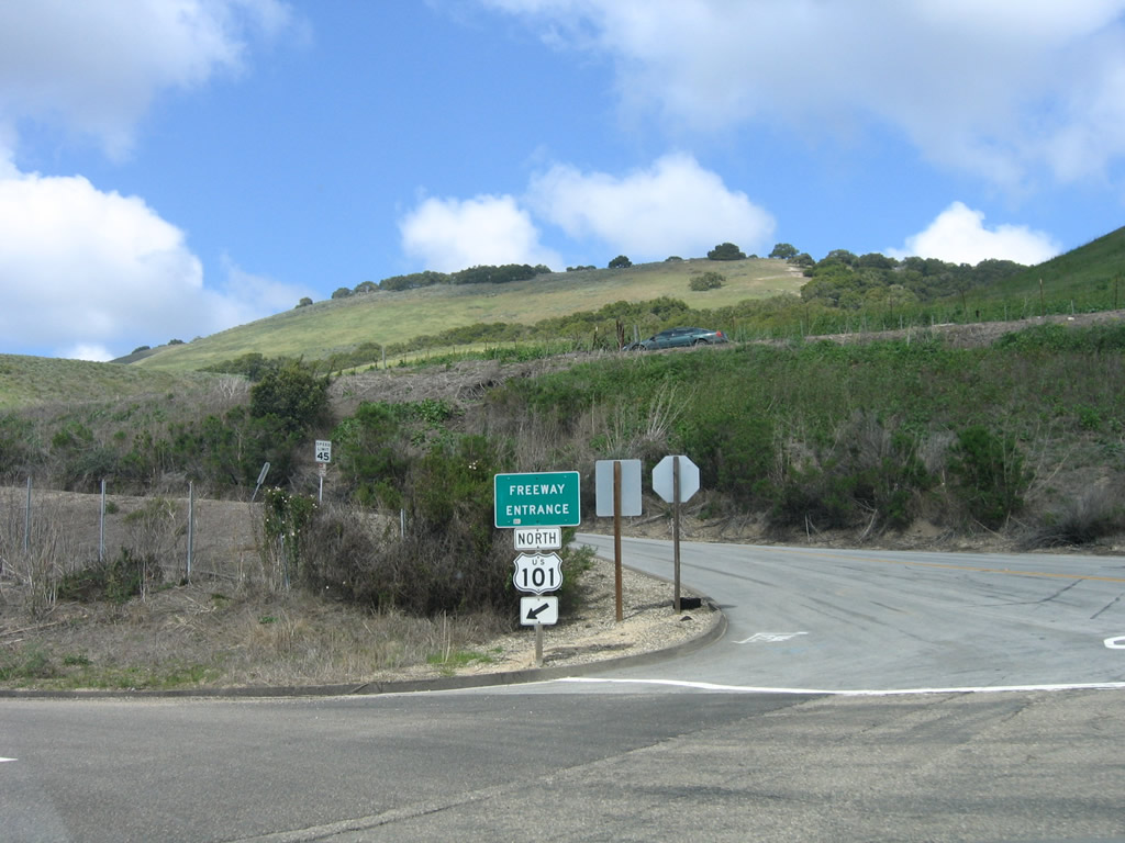
Northbound California 1 (Cabrillo Highway) approaches Division Street east to the unincorporated community of Nipomo and U.S. 101. Photo taken 03/18/06. |
|
After the Division Street intersection, northbound California 1 (Cabrillo Highway) passes under the aforementioned railroad tracks. Photo taken 03/18/06. |
|
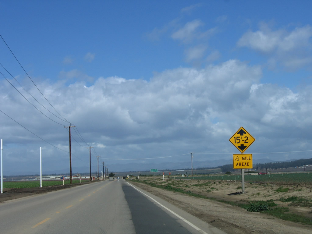
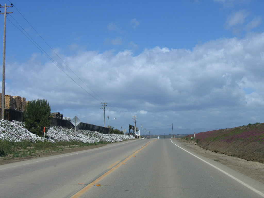
Flowers abound and flourish on both sides of California 1 (Cabrillo Highway), with white flowers on the west side and purple flowers on the east side. Photo taken 03/18/06. |
|
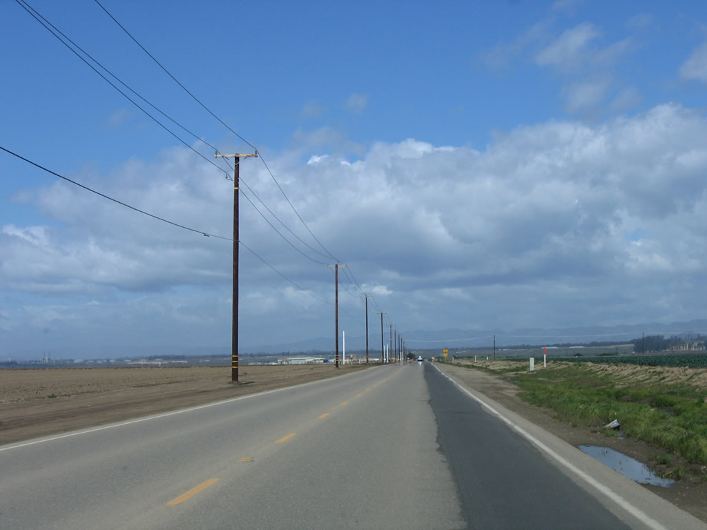
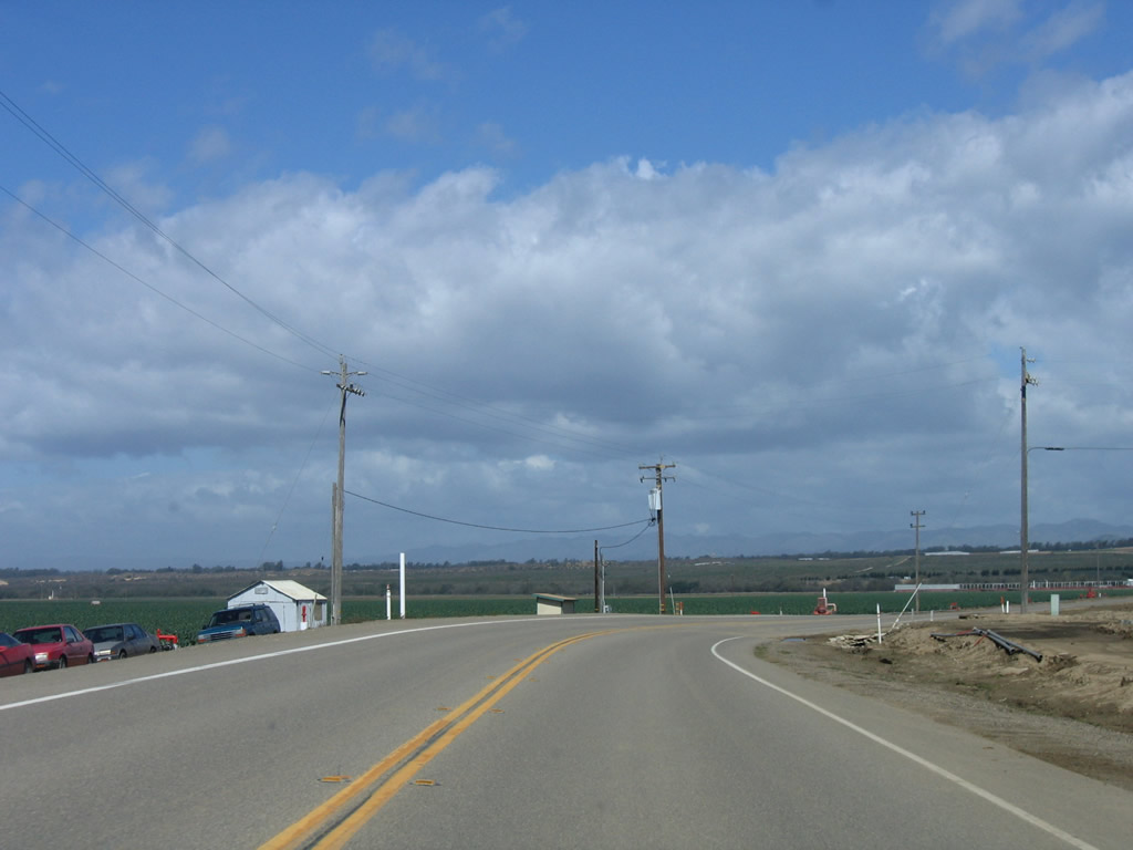
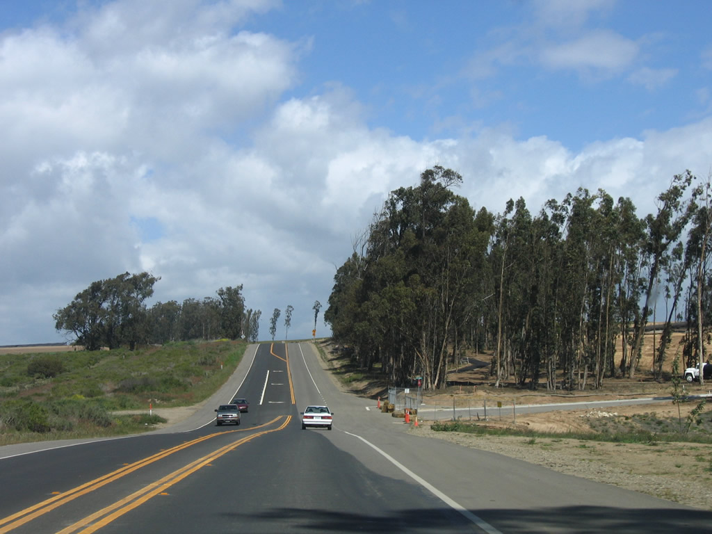
California 1 (Cabrillo Highway) continues north through more agricultural land. Photo taken 03/18/06. |
|
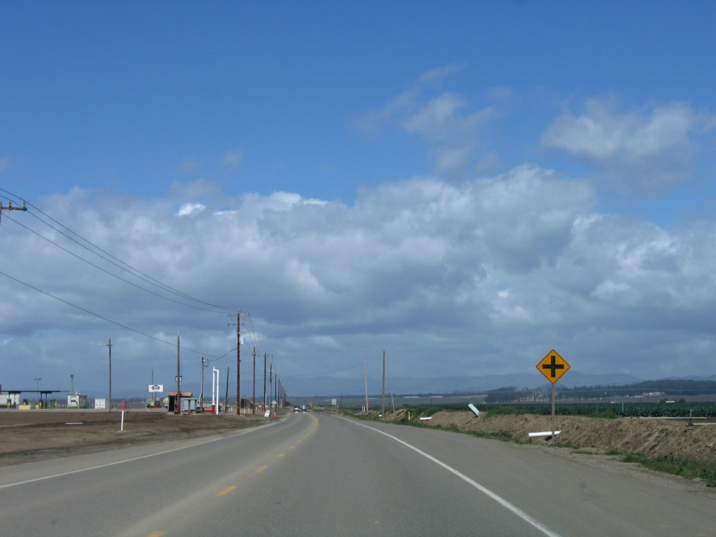
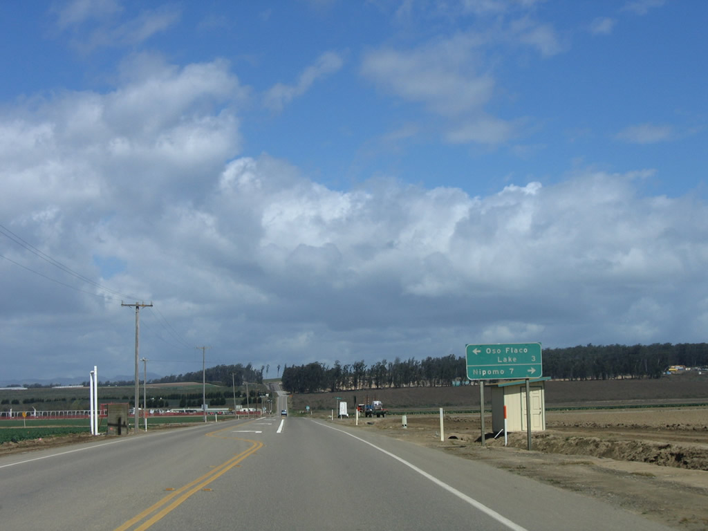
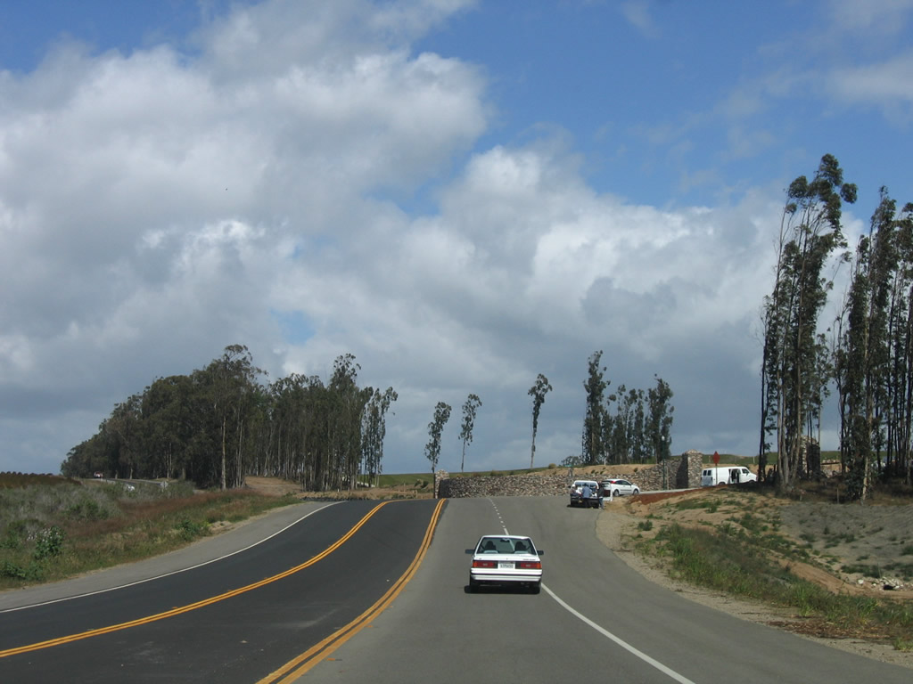
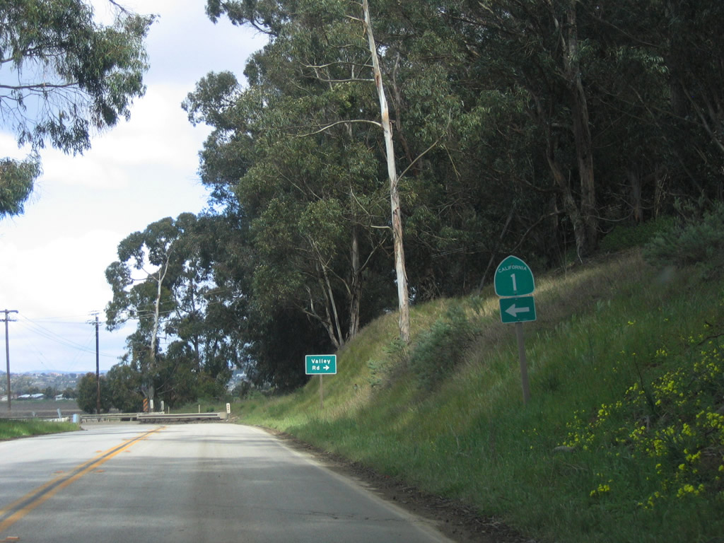
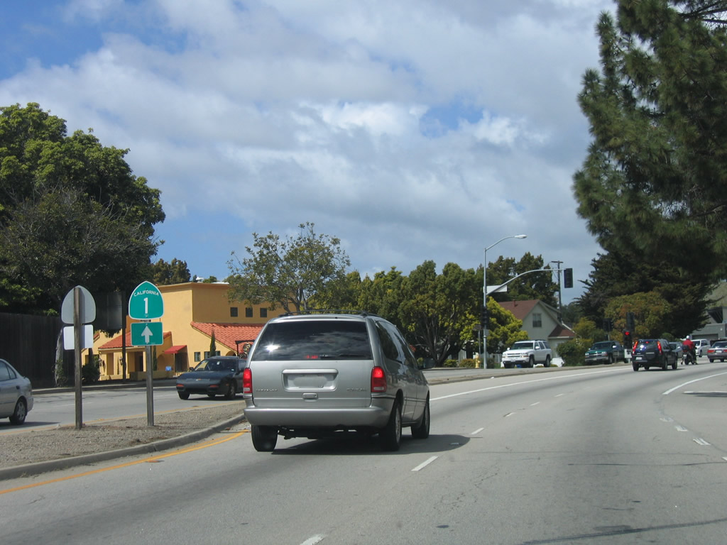
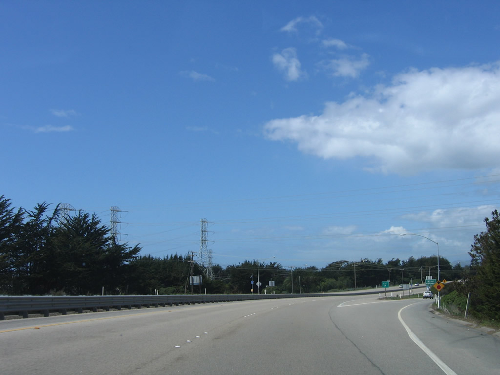
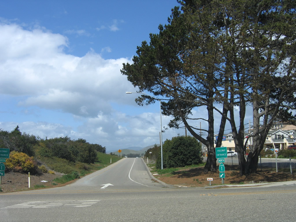
Northbound California 1 (Cabrillo Highway) meets Oso Flaco Lake Road. Turn left to follow Oso Flaco Lake Road west to Oso Flaco Lake in Oceano Dunes State Vehicular Recreation Area (three miles) or east to Nipomo (seven miles). Photo taken 03/18/06. |
|
|
|
|
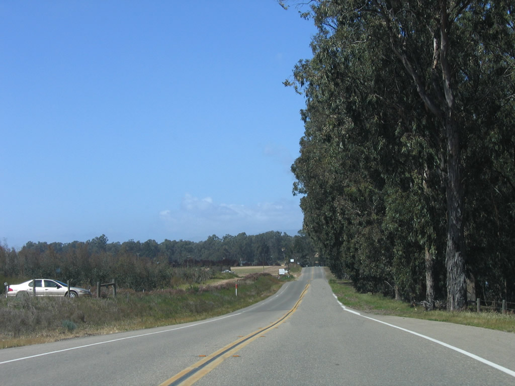
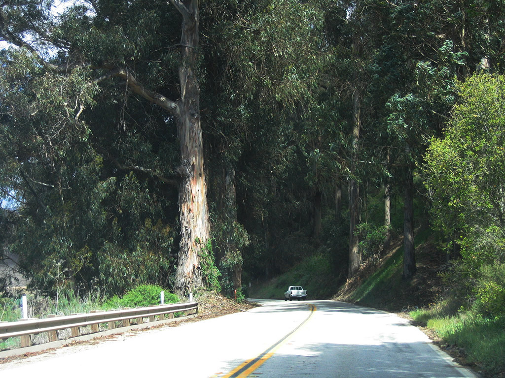
While California 1 mostly passes through agricultural areas, a seemingly large development of some kind was under construction in an area once dominated by eucalyptus trees. Photos taken 03/18/06. |
|
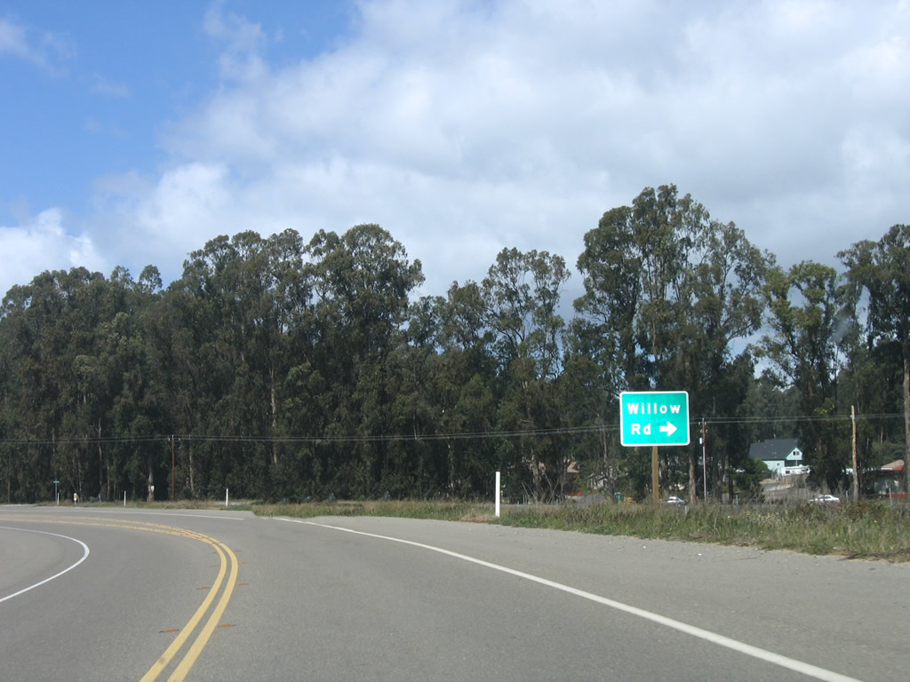
Northbound California 1 (Cabrillo Highway) meets Willow Road. Use Willow Road east to Guadalupe Road north. California 1 makes a 90-degree turn to the west at this point. Photo taken 03/18/06. |
|
|
|
|
California 1 travels west along with Willow Road, then turns north again. Photos taken 03/18/06. |
|
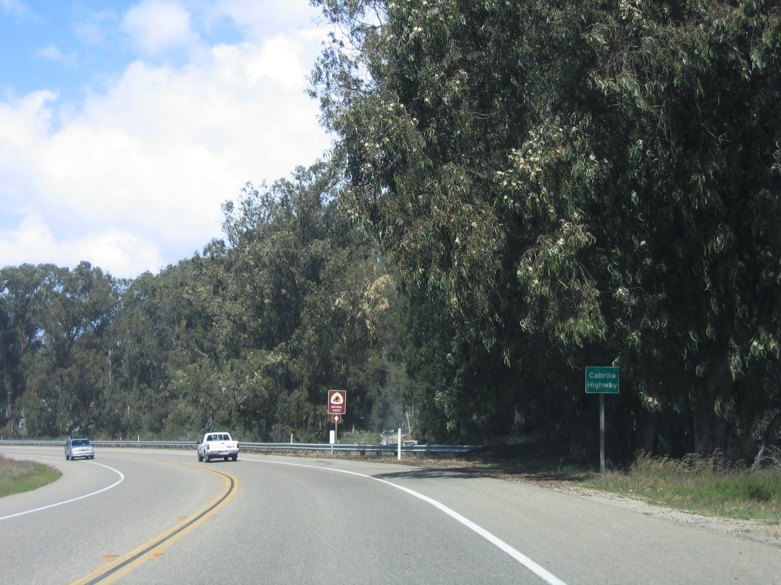
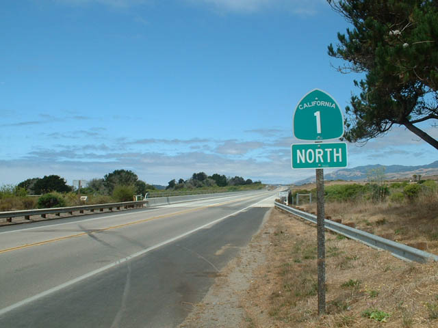
A Cabrillo Highway sign is posted along California 1 north after again turning north. Photo taken 03/18/06. |
|
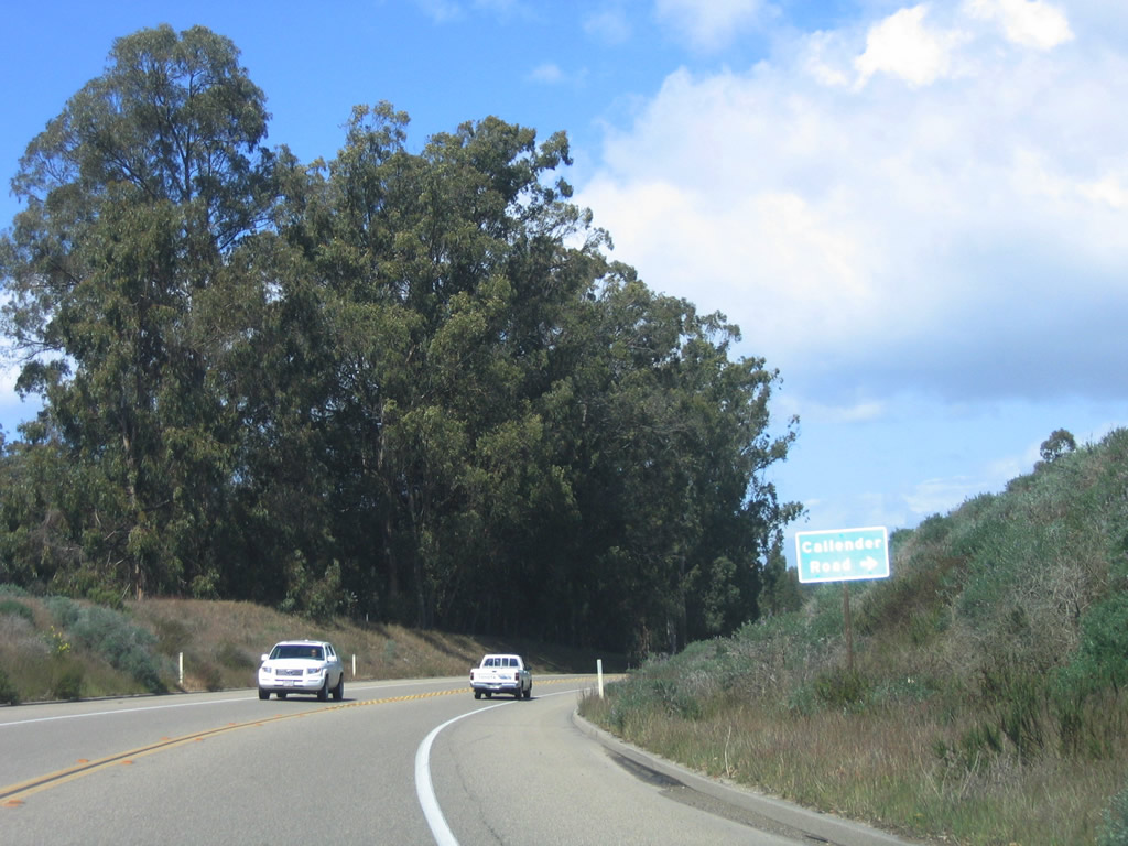
Northbound California 1 (Cabrillo Highway) approaches Callender Road. Photo taken 03/18/06. |
|
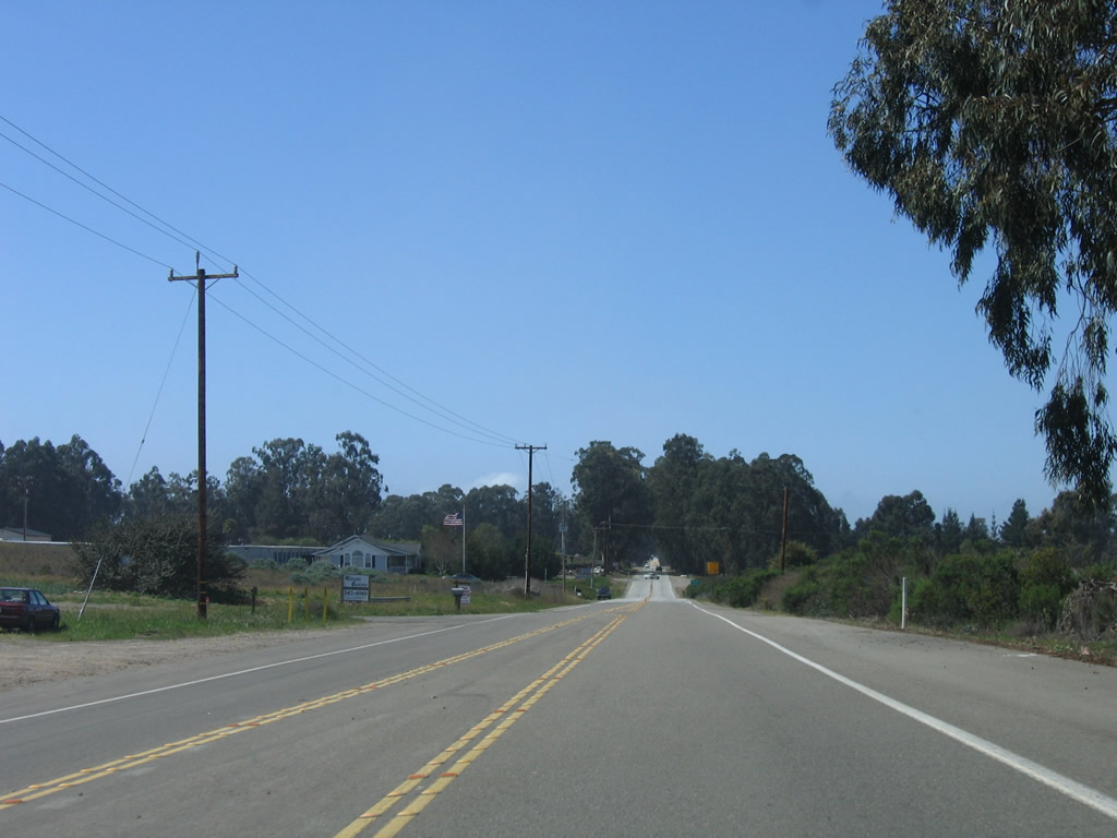
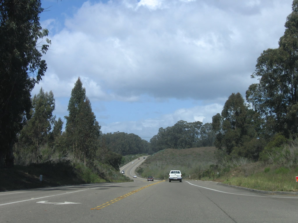
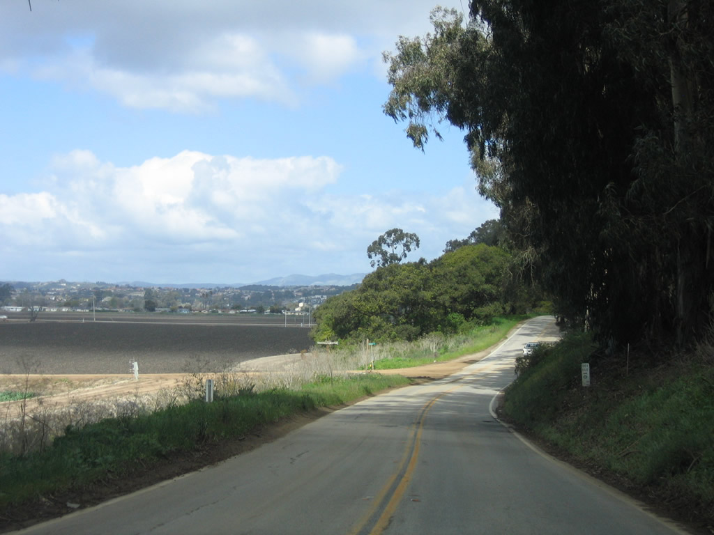
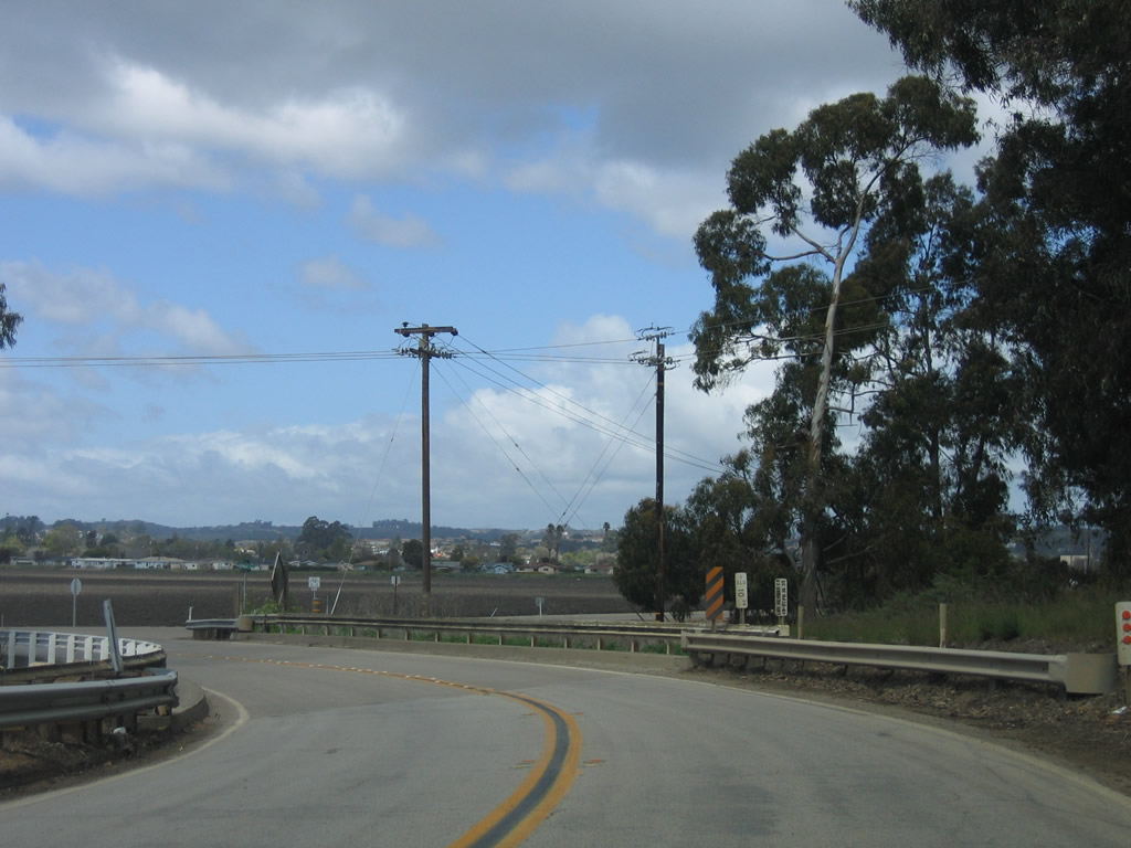
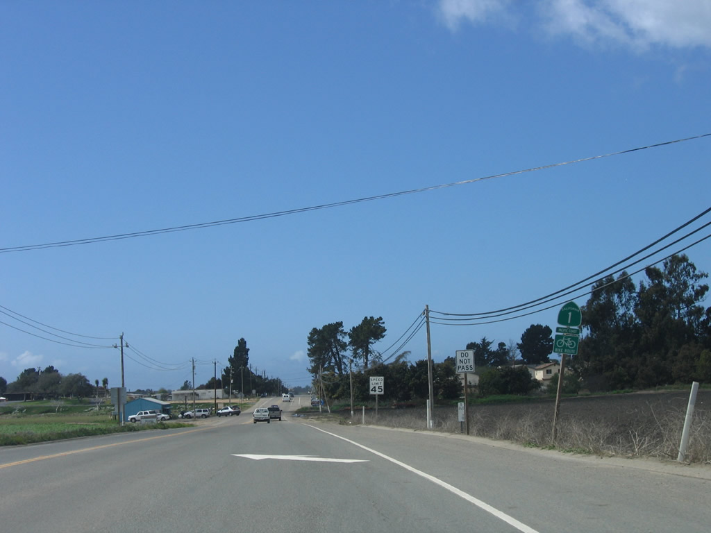
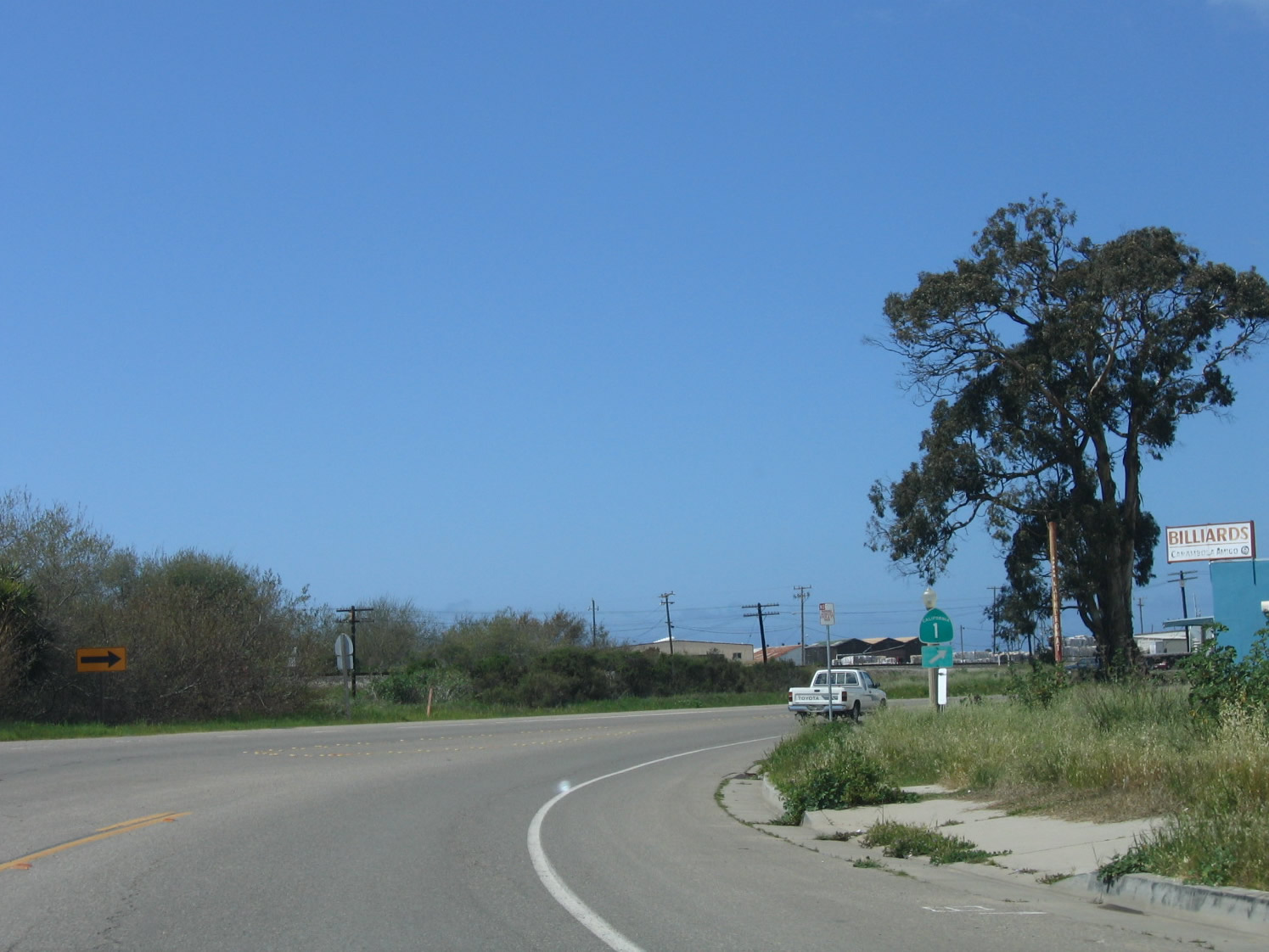
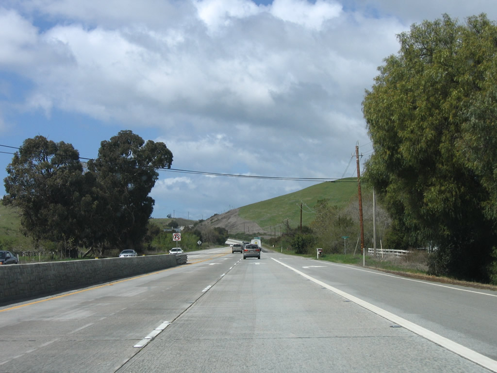
Leaving the fertile Santa Maria Valley behind, agricultural lands are no longer prevalent and northbound California 1 (Cabrillo Highway) continues north toward the unincorporated community of Oceano. Photo taken 03/18/06. |
| California 1 north |
|
|
|
|
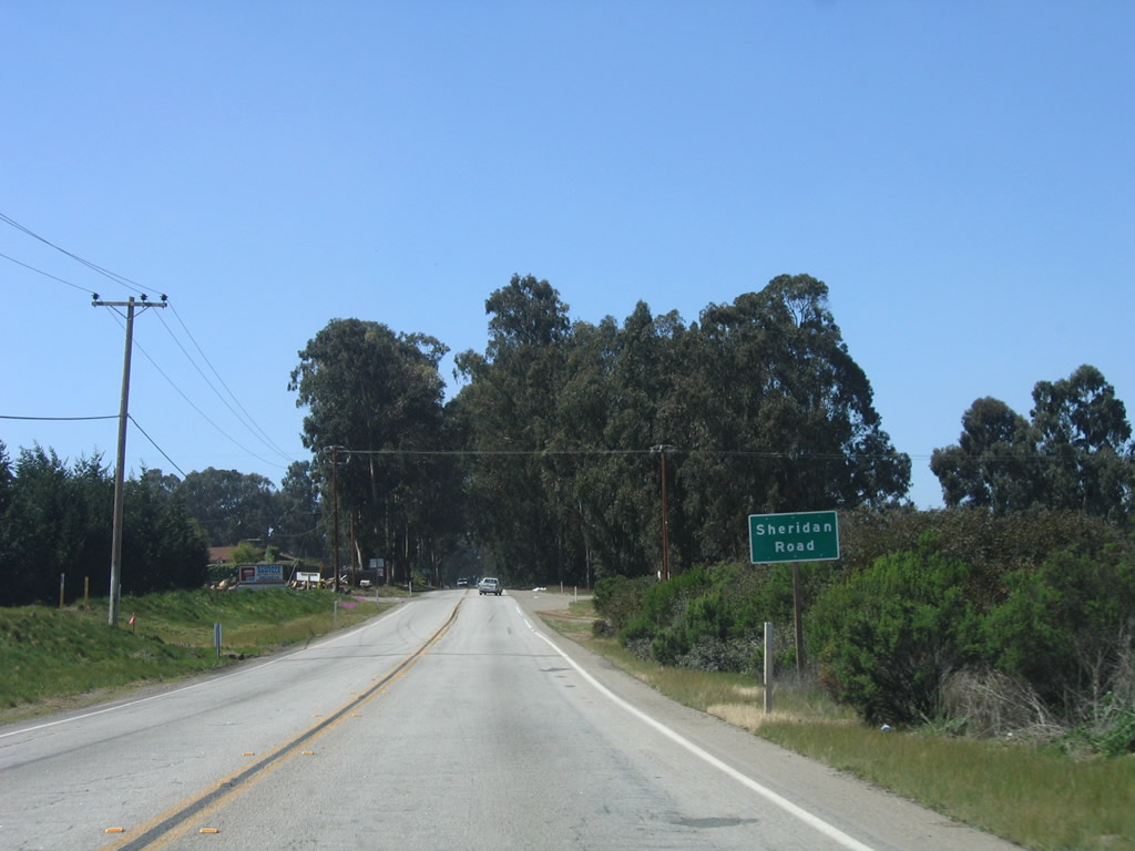
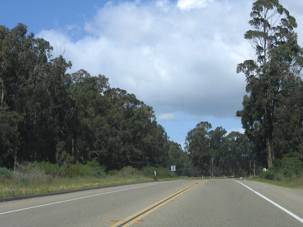
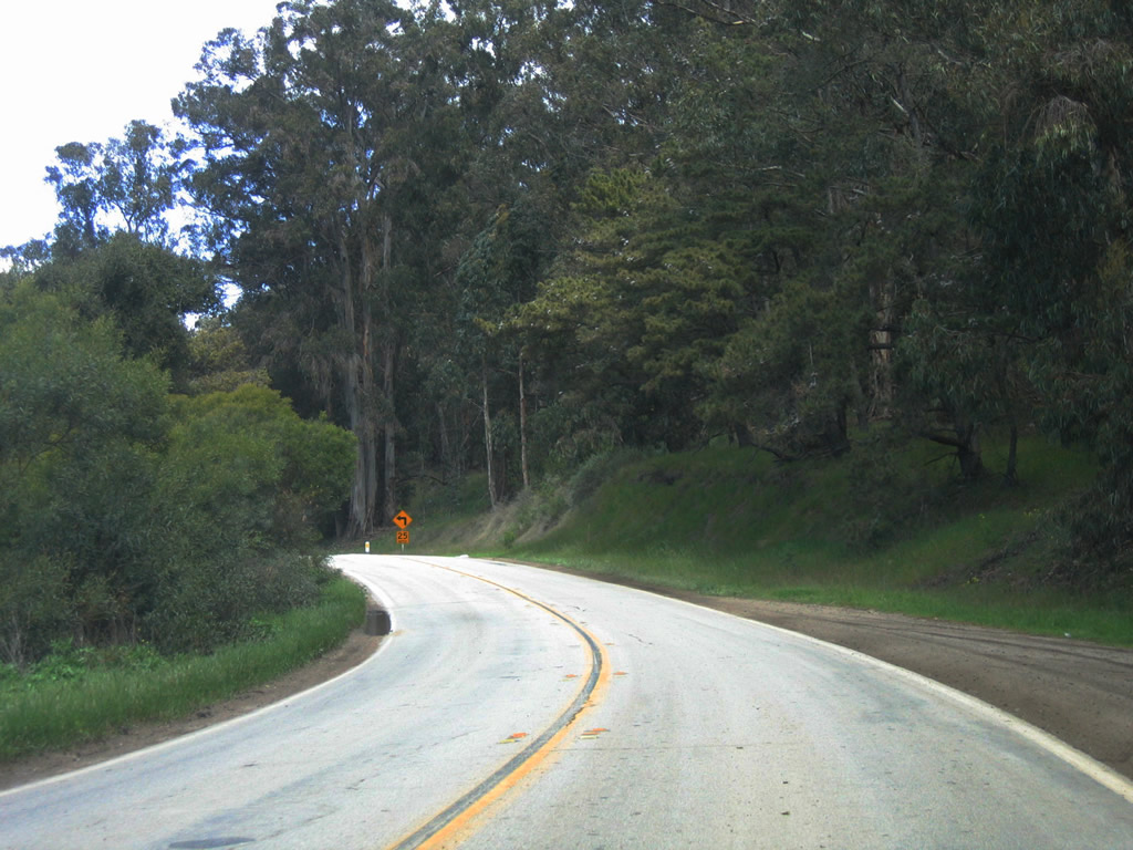
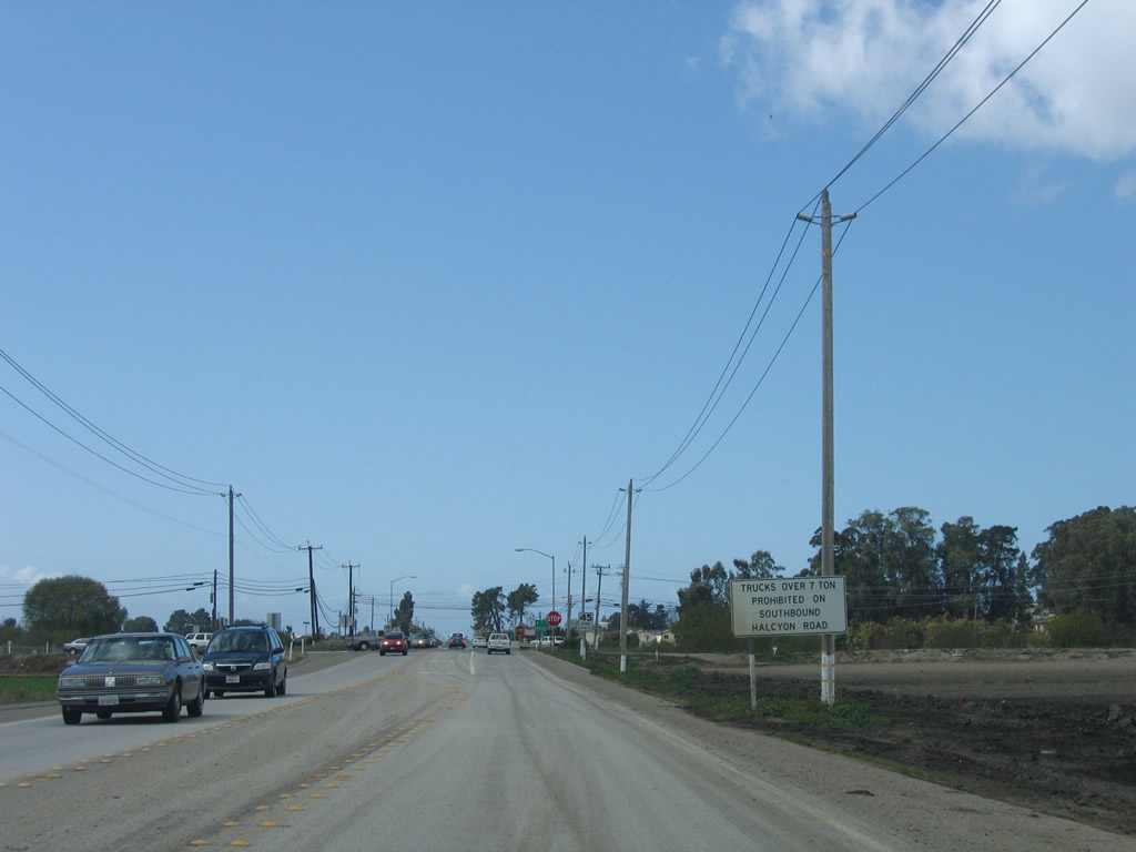
This series of photos follows California 1 north between Callender Road and Halcyon Road south of Oceano. Photos taken 03/18/06. |
|
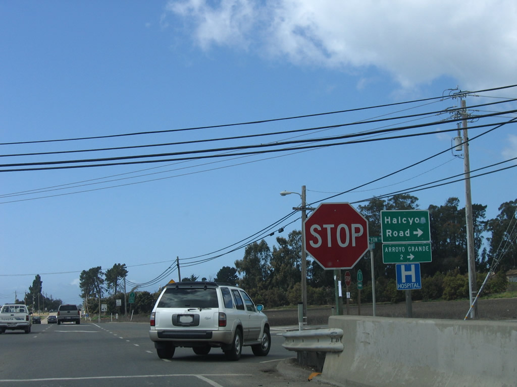
Northbound California 1 (Cabrillo Highway) approaches Halcyon Road. Photo taken 03/18/06. |
|
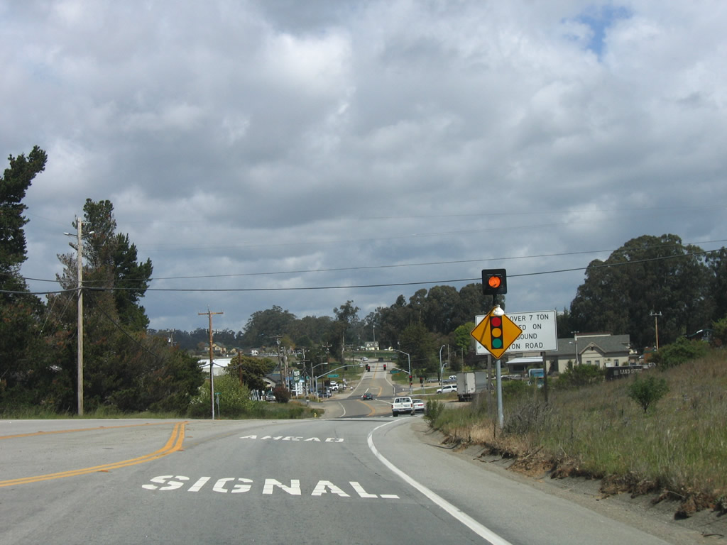
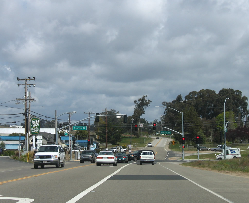
The next traffic signal along California 1 (Cabrillo Highway) north is with Halcyon Road. Turn left to follow Halcyon Road north to Oceano or follow California 1 north to Oceano. Either route is usable (although there are truck restrictions on Halcyon Road). Photo taken 03/18/06. |
|
|
|
|
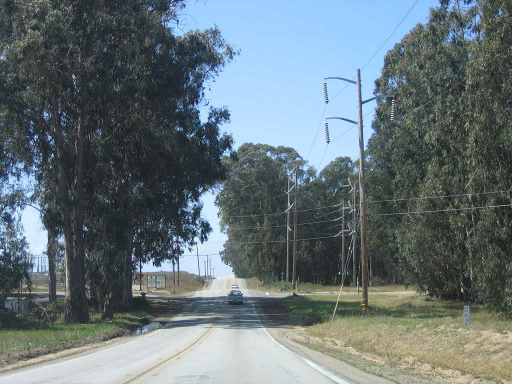
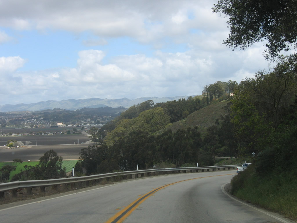
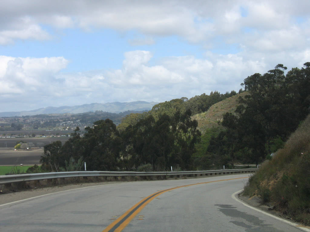
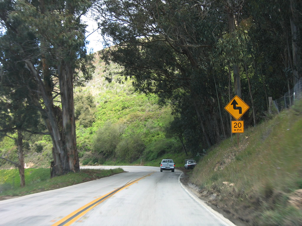
This series of photos follows California 1 (Cabrillo Highway) north between Halcyon Road and Cienega Street. This winding road follows Mesa View Drive north as it descends to Los Berros Creek, and some sections feature tight turns and narrow alignments. Photos taken 03/18/06. |
|
|
|
|
|
|
Northbound California 1 (Cabrillo Highway / Mesa View Drive) crosses over Los Berros Creek and approaches Valley Drive. Turn right to follow Valley Drive north to Arroyo Grande and U.S. 101 (you'll end up at Exit 186, the Fair Oaks Avenue and Traffic Way interchange); turn left to follow California 1/Cienega Street (Cabrillo Highway) west into Oceano. Photos taken 03/18/06. |
| California 1 north |
|
Now at the base of the grade, California 1 passes through a bit more agricultural land before entering the unincorporated community of Oceano. Photo taken 03/18/06. |
|
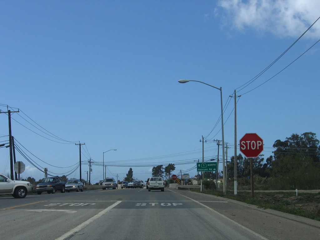
Northbound California 1 (Cabrillo Highway / Cienega Street) approaches the second Halcyon Road intersection. Another white guide sign advises of the truck restriction on Halcyon Road used by some to bypass the downgrade between the two Halcyon Road intersections. Photo taken 03/18/06. |
|
At this stop sign, northbound California 1 (Cabrillo Highway) meets Halcyon Road southbound. Photo taken 03/18/06. |
|
|
|
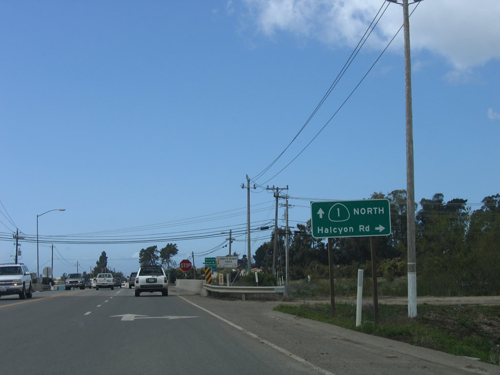
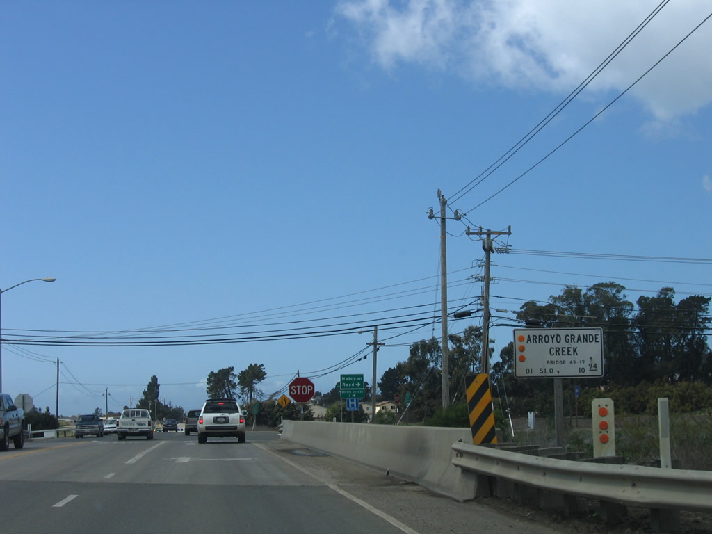
The next intersection along California 1 north is with Halcyon Road southbound, located after California 1 crosses the Arroyo Grande Creek. Use Halcyon Road north to Arroyo Grande and U.S. 101 (El Camino Real) Exit 187B. Photo taken 03/18/06. |
|
A California 1 reassurance shield is posted after the Halcyon Road intersection. Photo taken 03/18/06. |
|
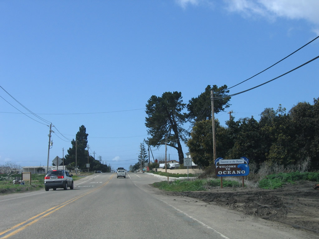
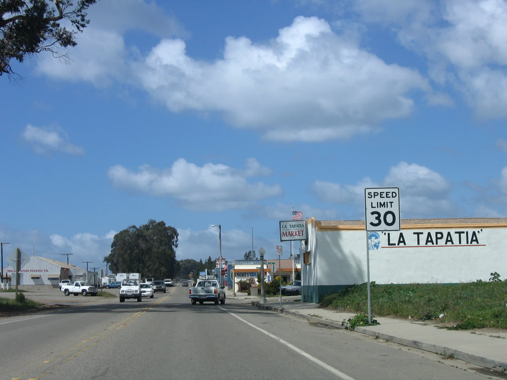
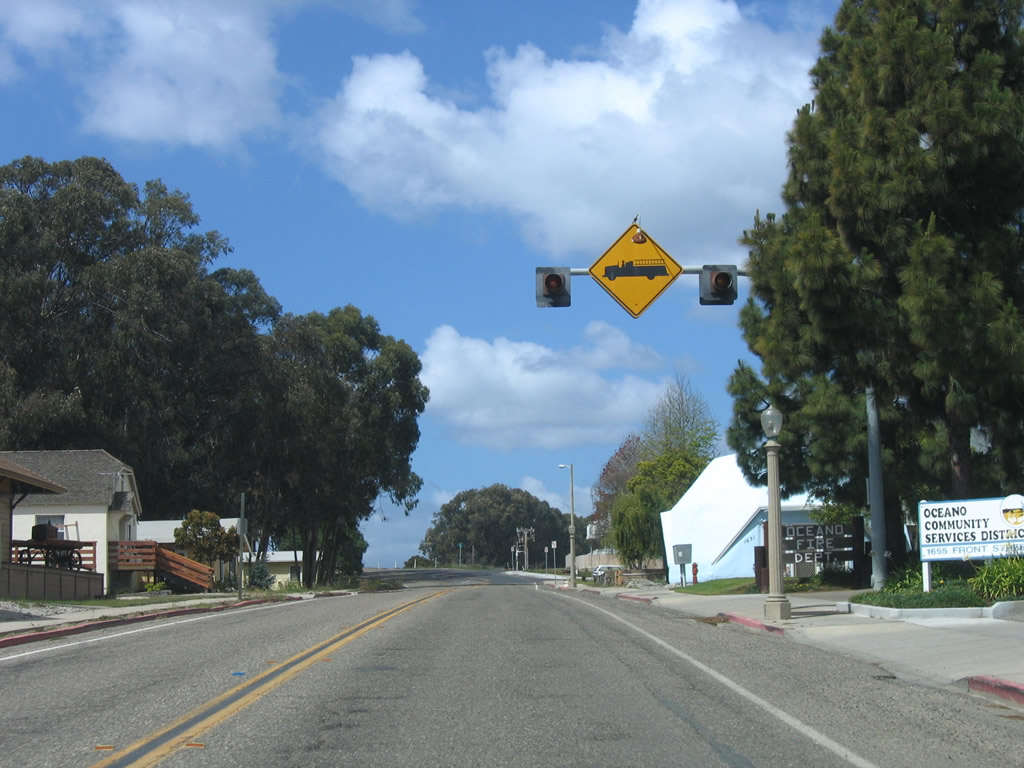
Welcome to Oceano, the "Gateway to the Dunes" (an unincorporated community of San Luis Obispo County). With a population of 7,260 as of the 2000 Census, Oceano is perhaps best known for having the only beach in California that permits motor vehicles. The dunes, which extend through the Oceano Dunes State Vehicular Recreation Area, offer a unique opportunity for off-road enthusiasts. Photo taken 03/18/06. |
|
California 1 travels due west along Cienega Street, then turns northwest via Front Street. Photo taken 03/18/06. |
|
A California 1 trailblazer is posted at the point where the state route turns from Cienega Street onto Front Street. Photo taken 03/18/06. |
| California 1 north |
|
|
|
|
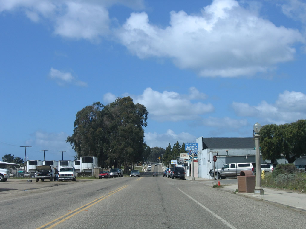
California 1/Front Street passes through downtown Oceano, parallel to the railroad tracks. Soon California 1 will enter the city of Grover Beach. Photos taken 03/18/06. |
|
Northbound California 1 crosses over the railroad on this viaduct. Photo taken 03/18/06. |
| California 1 north |
|
The next intersection along California 1 (Cabrillo Highway) is with Pershing Drive. Use Pershing Drive west to the Oceano County Airport. Photo taken 03/18/06. |
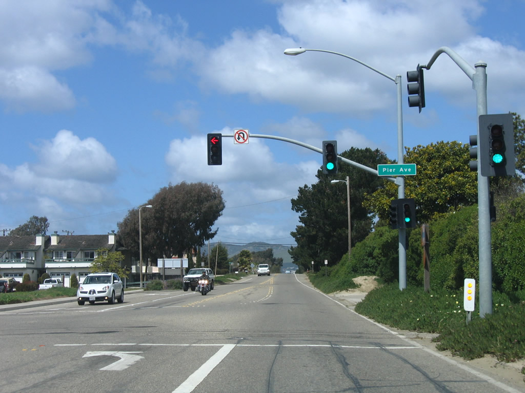
|
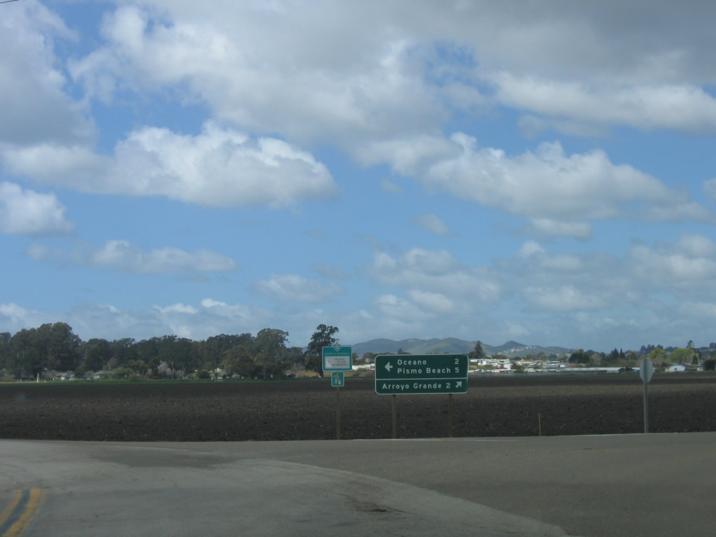
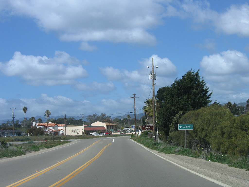
Use Pier Avenue west to Oceano County Park and Pismo State Beach. Photo taken 03/18/06. |
|
Northbound California 1 becomes Pacific Boulevard after crossing the railroad tracks at this signalized intersection. Photo taken 03/18/06. |
|
Passing by Pismo State Beach, northbound California 1 (Cabrillo Highway) will soon leave Oceano and enter Grover Beach. Photo taken 03/18/06. |
|
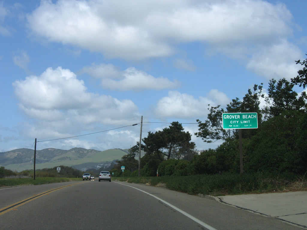
California 1 (Cabrillo Highway) enters the city of Grover Beach. Founded on August 1, 1887, Grover Beach was initially named the "Town of Grover," and it was incorporated on December 21, 1959, as the city of Grover City and later changed to the city of Grover Beach (in 1992). The streets along the grid pattern are named after popular beaches at the time the original town was founded. The population of Grover Beach was 13,067 people as of the 2000 Census. Photo taken 03/18/06. |
|
California 1 (Cabrillo Highway) mostly avoids Grover Beach, as the railroad separates the highway from the downtown grid. Photo taken 03/18/06. |
|
The next traffic signal along California 1 (Cabrillo Highway) north is with Grand Avenue (former California 227). Turn right here to downtown Grover Beach. Photo taken 03/18/06. |
|
A California 1 reassurance shield is posted after the Grand Avenue intersection. Photo taken 03/18/06. |
| California 1 north |
|
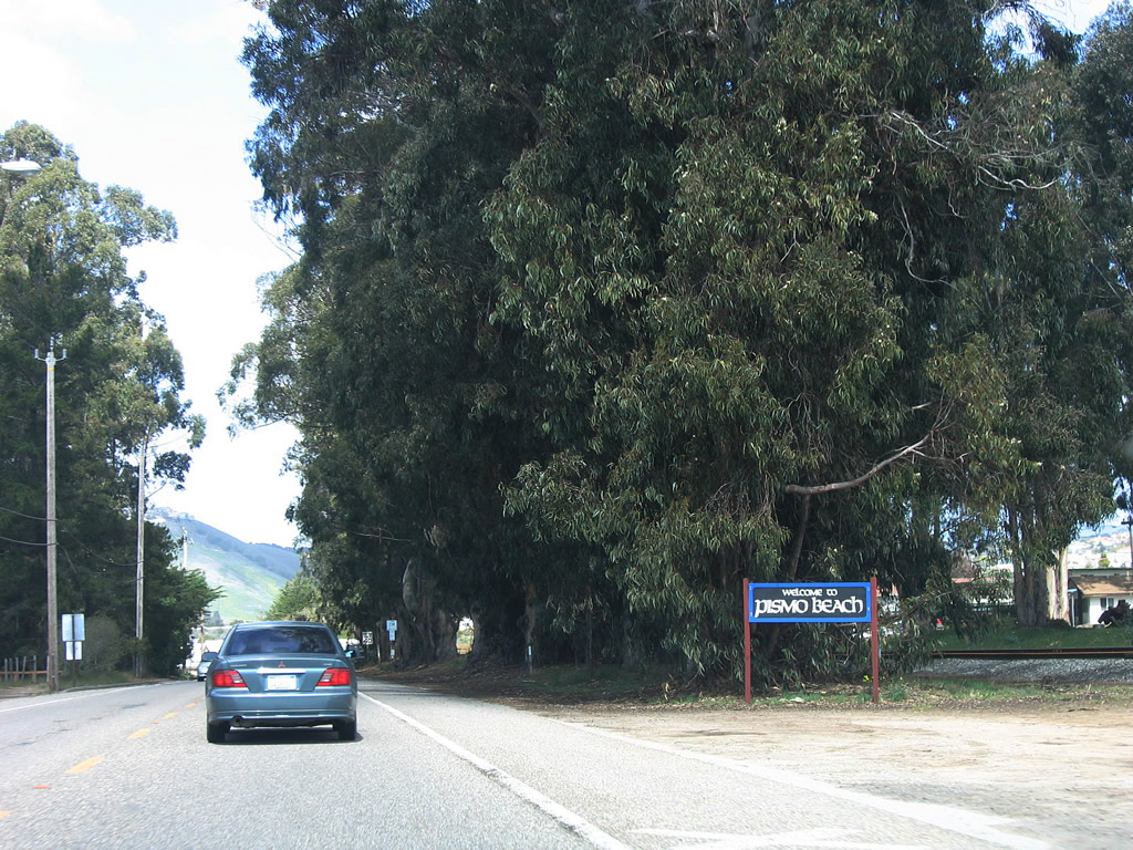
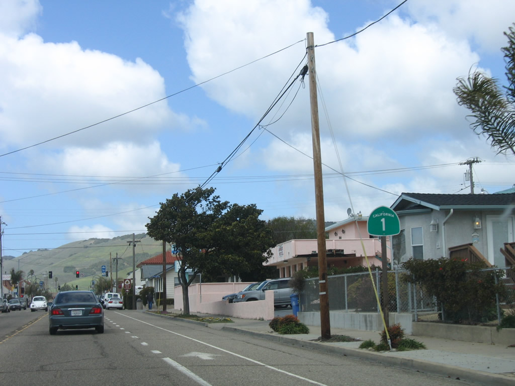
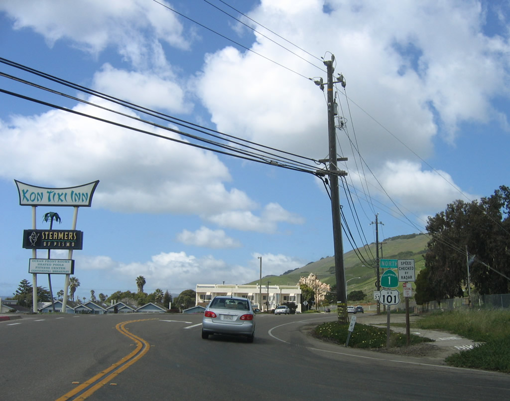
California 1 (Cabrillo Highway) enters the city of Pismo Beach. The population of Pismo Beach was 8,551 people as of the 2000 Census. Photo taken 03/18/06. |
|
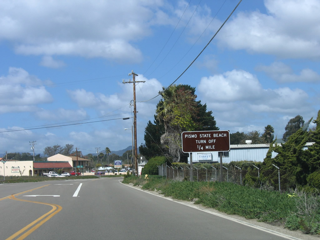
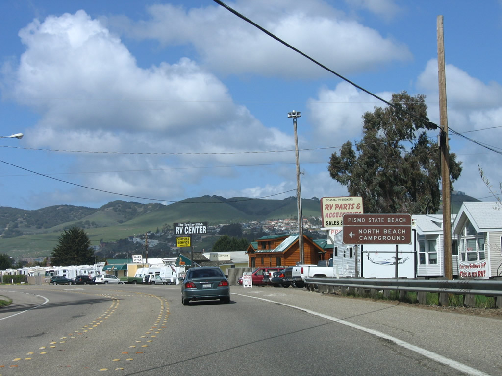
Turn left from northbound California 1 (Cabrillo Highway) into Pismo State Beach (North Campground). Photo taken 03/18/06. |
|
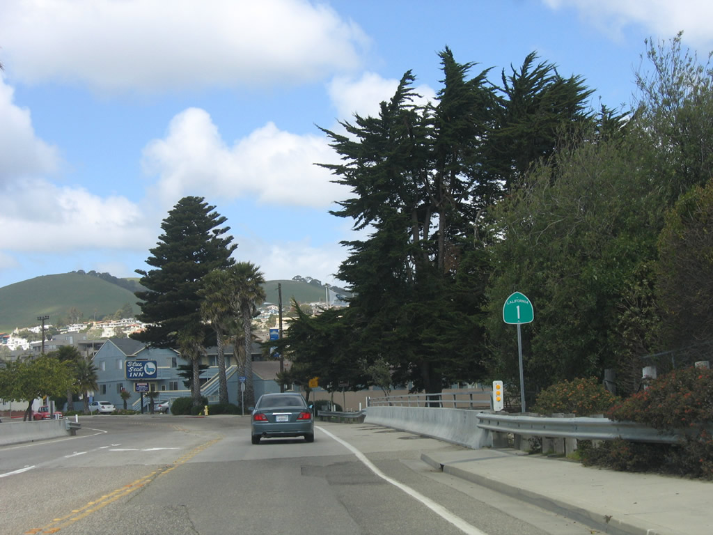
Now known as Dolliver Street, this California 1 north shield is posted after the Pismo State Beach North Campground entrance. Photo taken 03/18/06. |
|
At Ocean View Avenue, turn right (east) from California 1 (Dolliver Street) to U.S. 101 (El Camino Real) south. Photo taken 03/18/06. |
|
A wide California 1 north reassurance shield is posted after the Ocean View Avenue intersection. Continue straight into downtown Pismo Beach. Photo taken 03/18/06. |
|
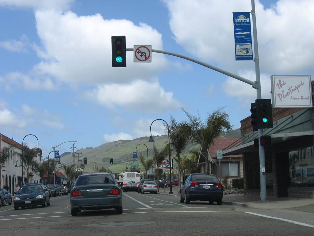
Northbound California 1 (Dolliver Street) meets Hinds Avenue at this traffic signal in downtown Pismo Beach. Photo taken 03/18/06. |
|
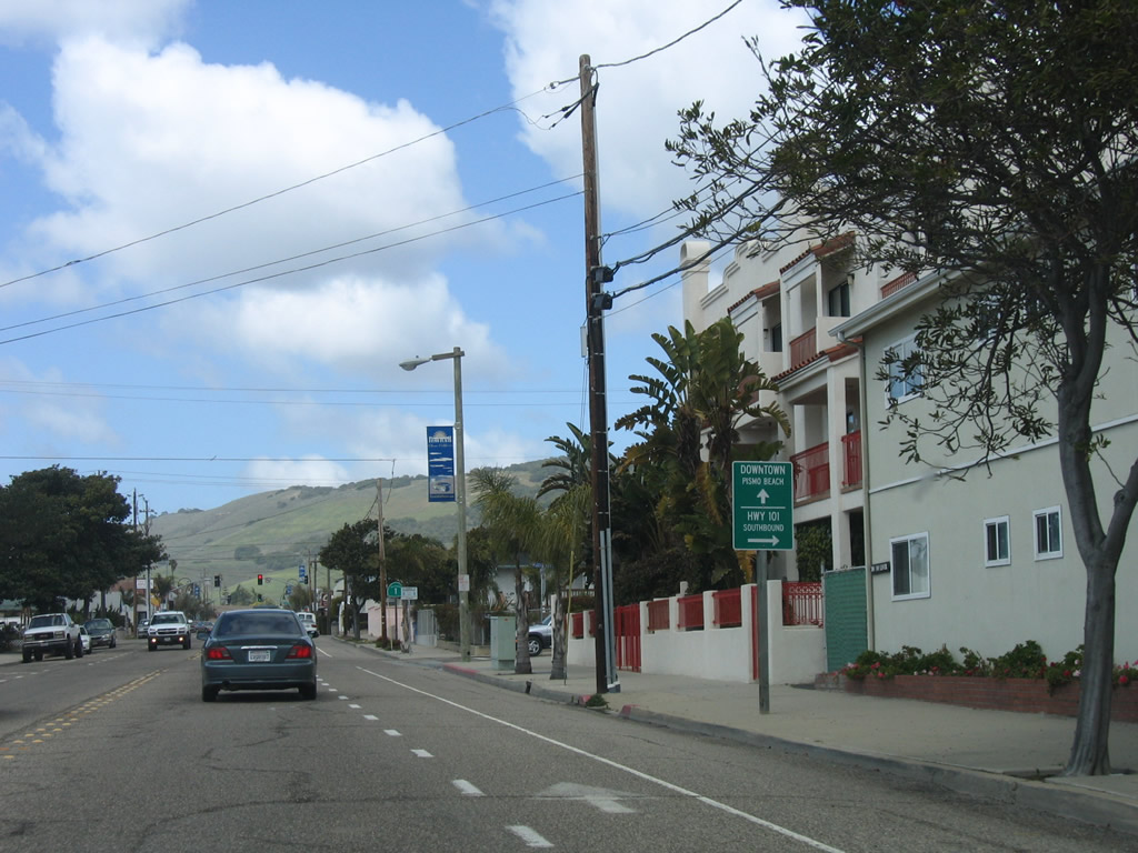
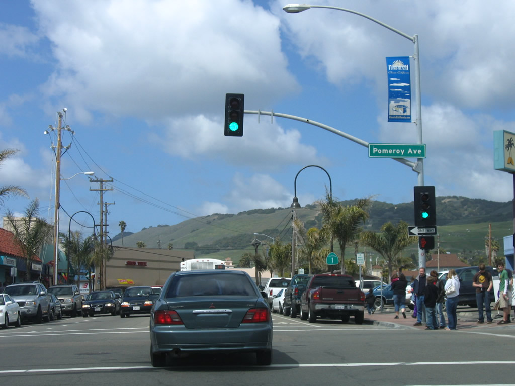
One block northwest, California 1 (Dolliver Street) meets Pomeroy Avenue. Turn left here to the Pismo Beach pier. Photo taken 03/18/06. |
|
Leaving downtown Pismo Beach, California 1 will now reconnect to the U.S. 101 freeway. Photo taken 03/18/06. |
|
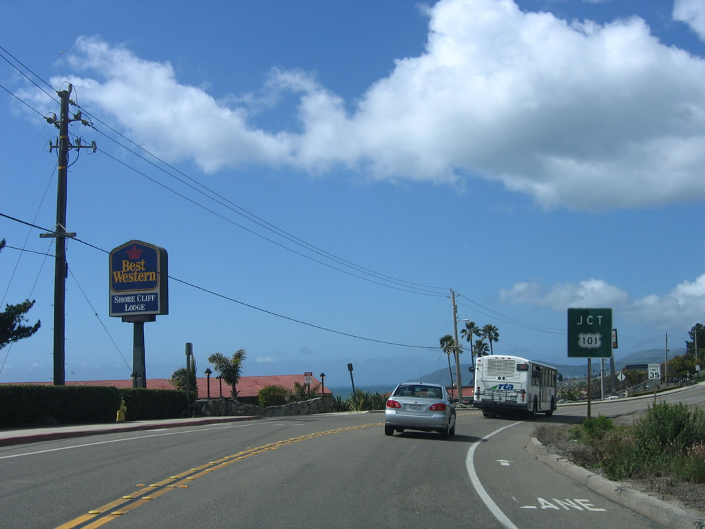
Dolliver Street ends at Price Street (U.S. 101 Business). Turn left here to follow Price Street northwest back to the freeway and for the continuation of California 1. Photo taken 03/18/06. |
| U.S. 101 Business and California 1/Price Street north |
|
U.S. 101 Business and California 1 share a reassurance shield assembly on northbound Price Street, although the business banner was not present. Photo taken 03/18/06. |
|
Price Street parallels the U.S. 101 freeway, and California 1 will merge onto the freeway at Exit 191B, Mattie Road. Photo taken 03/18/06. |
|
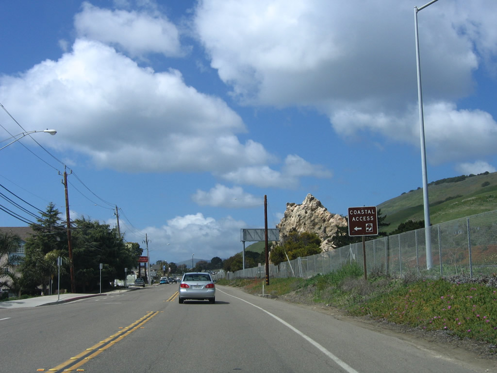
A large rock outcropping visible in this photo is actually found in the median of the U.S. 101 freeway. Photo taken 03/18/06. |
|
Northbound U.S. 101 Business and California 1/Price Street approach Mattie Road and the on-ramp to the freeway. California 1 will share alignment with U.S. 101 from Pismo Beach north to San Luis Obispo, where the routes divide. Photo taken 03/18/06. |
|
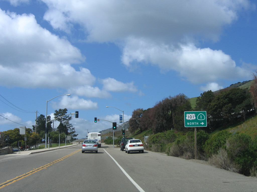
A trailblazer for U.S. 101 and California 1 north is posted prior to the Mattie Road intersection (turn right on Mattie Road to U.S. 101 north). Photo taken 03/18/06. |
|
Passing under U.S. 101, the business route and California 1 will turn north on the on-ramp to join the freeway. Photo taken 03/18/06. |
|
U.S. 101 Business ends at the on-ramp from Mattie Road to U.S. 101. The freeway entrance shield assembly only indicates U.S. 101 and omits California 1, although the state route does merge onto the freeway at this point. Photo taken 03/18/06. |
| U.S. 101 (El Camino Real) and California 1 north |
|
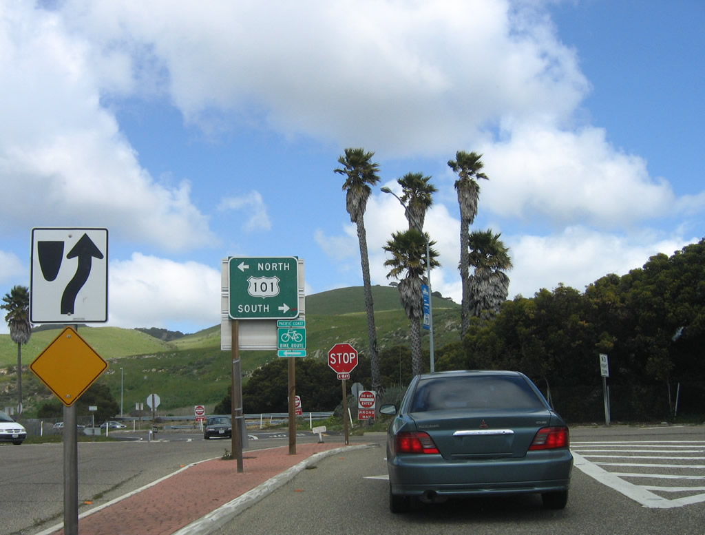
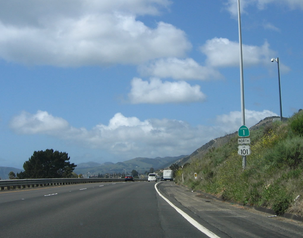
At the top of the on-ramp from Mattie Road is a reassurance shield for California 1 and U.S. 101. The two routes will continue north on the freeway until splitting in San Luis Obispo at Exit 203B. Photo taken 03/18/06. |
| For California 1 between Pismo Beach and San Luis Obispo, follow U.S. 101 (El Camino Real) north in San Luis Obispo County. |
|
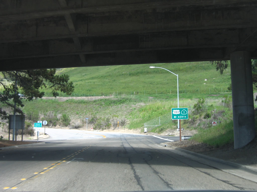
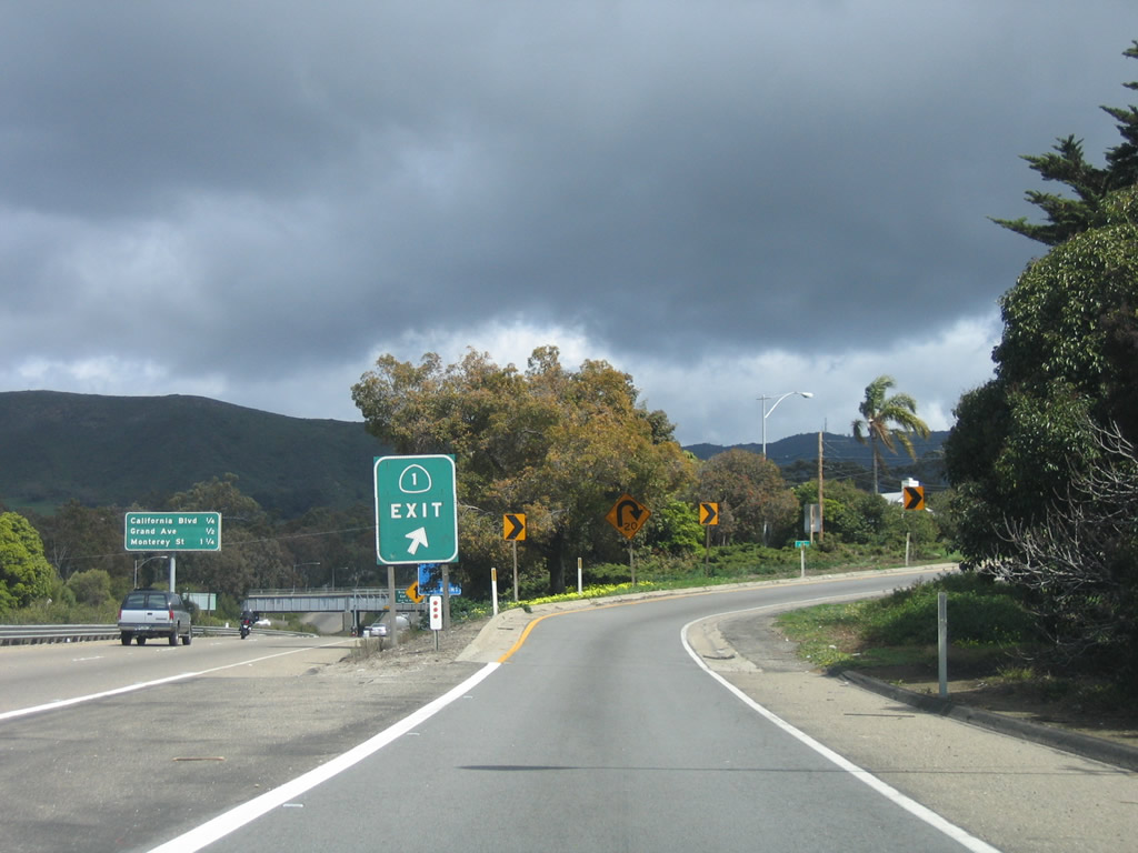
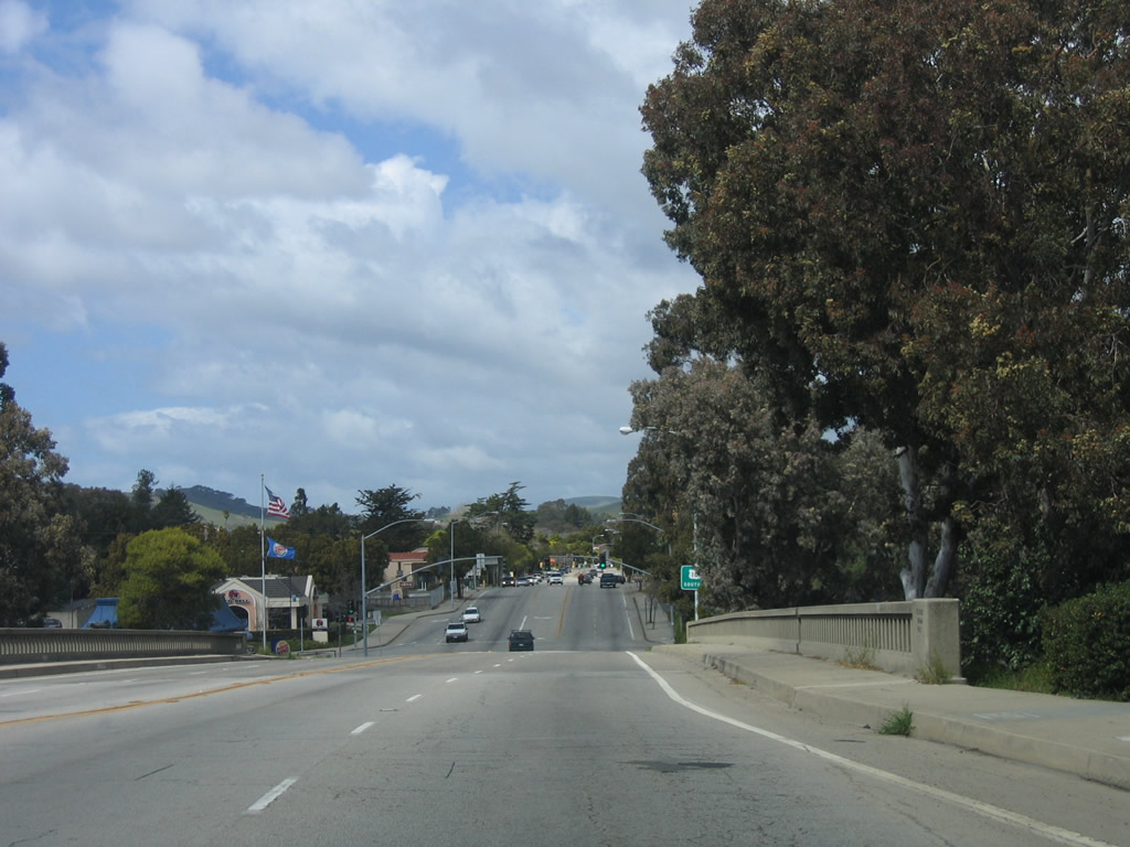
Now in San Luis Obispo, California 1 departs U.S. 101 at Exit 203B by exiting onto Walnut Street. By exiting here, California 1 will essentially loop onto northbound Santa Rosa Street by way of a connection on Walnut Street. The two routes (U.S. 101 and California 1) will not meet again until the foot of the Golden Gate Bridge in San Francisco. Photo taken 03/18/06. |
| California 1 north |
|
Walnut Street turns south and passes Toro Street at this intersection. Photo taken 03/18/06. |
|
At this traffic signal, northbound California 1 turns from southbound Walnut Street onto northbound Santa Rosa Street en route to Morro Bay, Cambria, Hearst Castle, and Big Sur. Photo taken 03/18/06. |
| California 1 north |
|
Northbound California 1/Santa Rosa Street crosses over the U.S. 101 freeway in San Luis Obispo. Photo taken 03/18/06. |
|
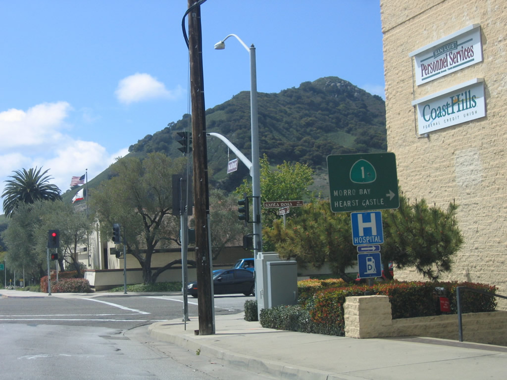
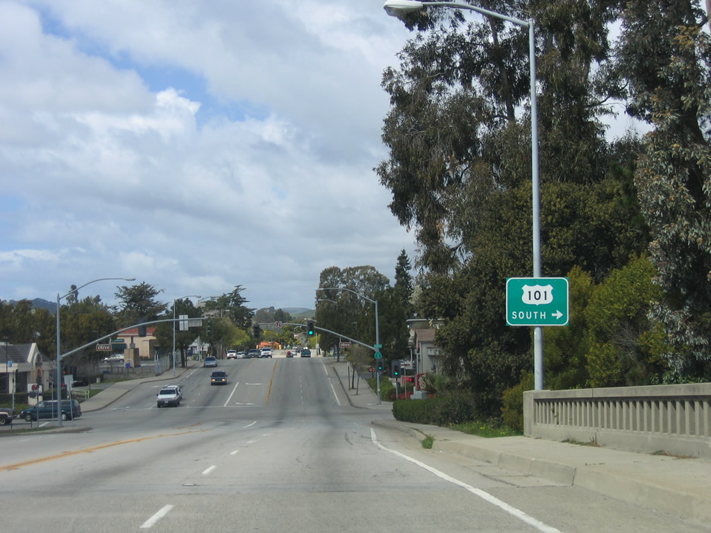
The next intersection along California 1/Santa Rosa Street north is with Olive Street. Turn right to the on-ramp to U.S. 101 and California 1 south to Pismo Beach. Photo taken 03/18/06. |
|
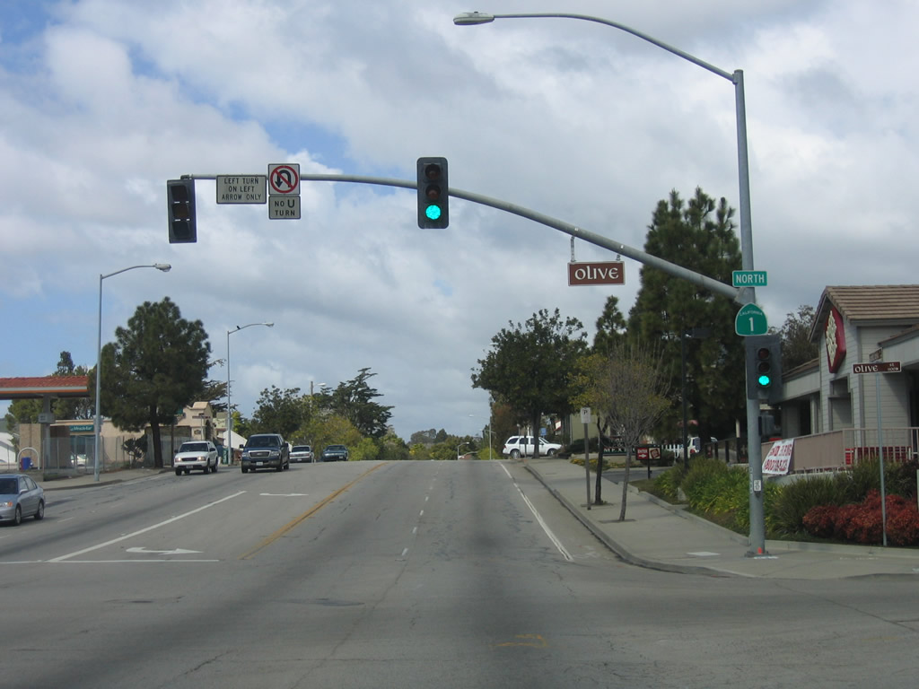
Northbound California 1/Santa Rosa Street meets Olive Street. This is the first northbound reassurance shield since leaving U.S. 101. Photo taken 03/18/06. |
|
A pair of California 1 trailblazers are posted (one in each direction) on the Santa Rosa Street median. Photo taken 03/18/06. |
|
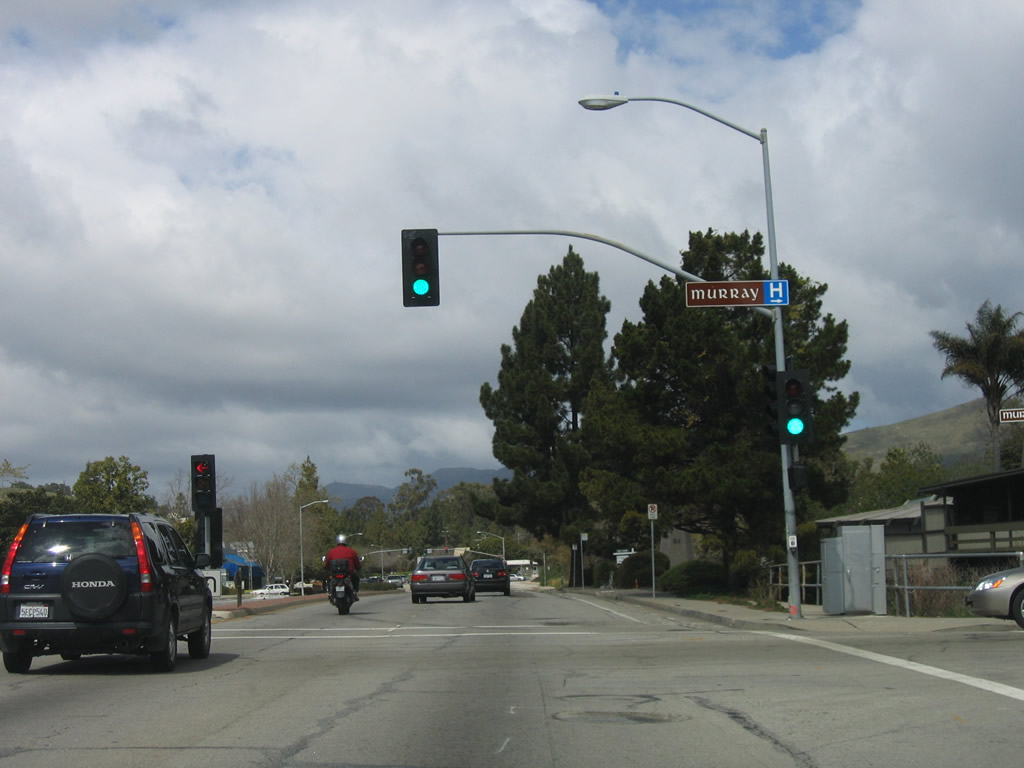
Northbound California 1/Santa Rosa Street meets Murray Avenue. Photo taken 03/18/06. |
|
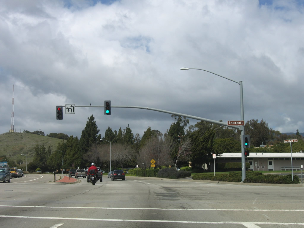
The next signalized intersection along California 1/Santa Rosa Street north is with Foothill Boulevard. Photo taken 03/18/06. |
|
A section of California 1 still features concrete lanes from its original expressway construction. Photo taken 03/18/06. |
|
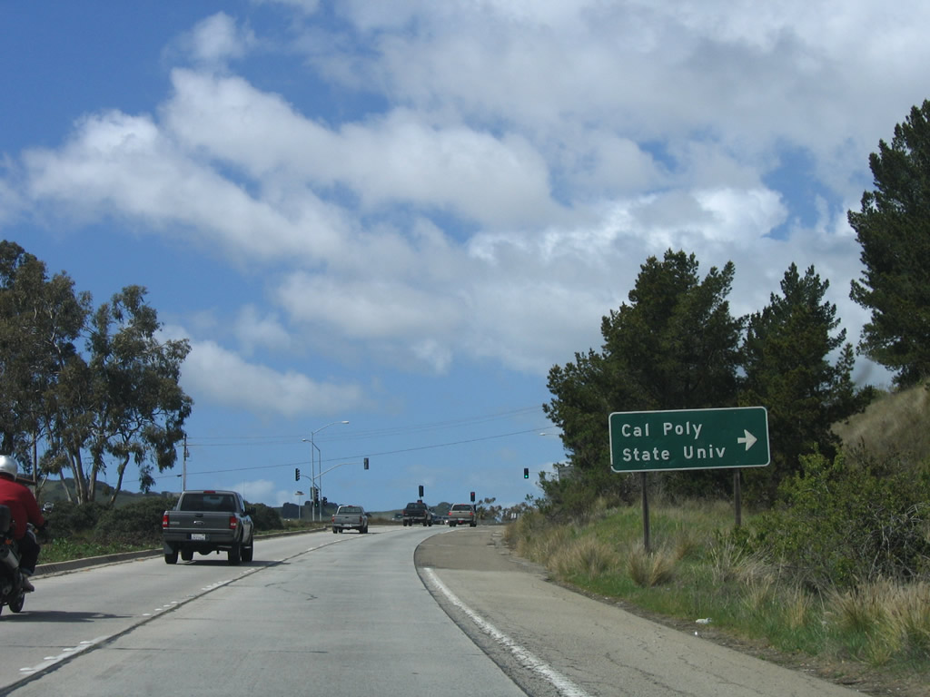
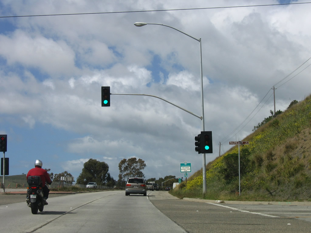
Northbound California 1/Santa Rosa Street approaches Highland Drive east to California Polytechnic State University in San Luis Obispo. Photo taken 03/18/06. |
|
The next signalized intersection along California 1/Santa Rosa Street north is with Foothill Drive. Photo taken 03/18/06. |
|
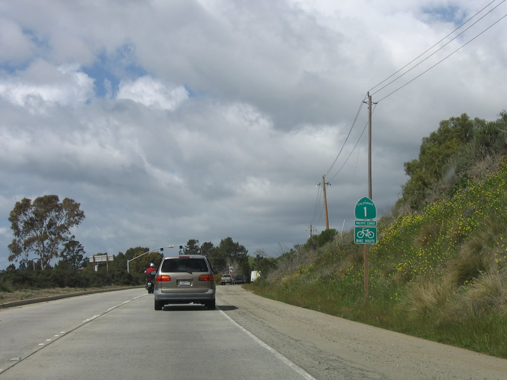
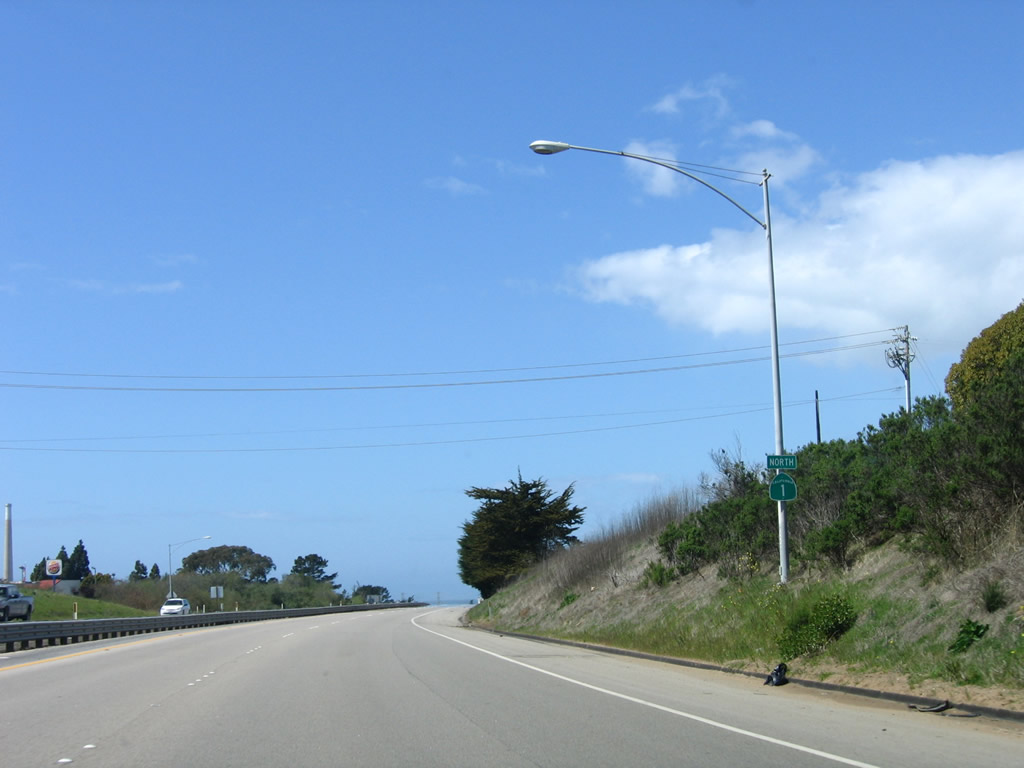
Leaving the city limits of San Luis Obispo, a California 1 north reassurance shield is posted after the Foothill Drive intersection. For the next several miles, California 1 functions as a four-lane expressway with at-grade intersections. Photo taken 03/18/06. |
| California 1 north |
|
|
|
A median barrier separates the two directions of traffic. This series concludes with the intersection with Steiner Creek Road north (local access). Photos taken 03/18/06. |
|
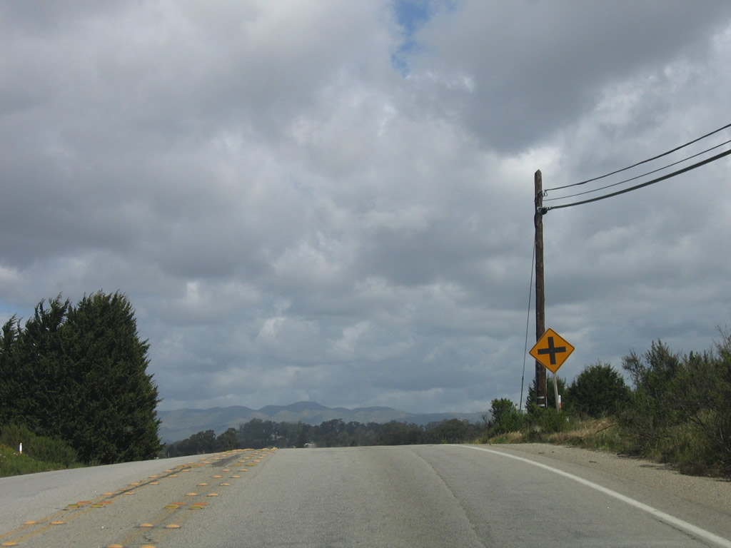
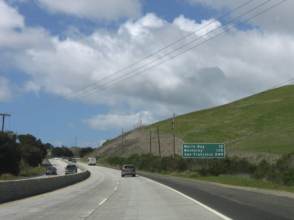
A mileage sign provides the distance to Morro Bay (12 miles), Monterey (135 miles), and San Francisco (249 miles). Ahead, California 1 enters the sprawling Camp San Luis Obispo military reservation. Photo taken 03/18/06. |
|
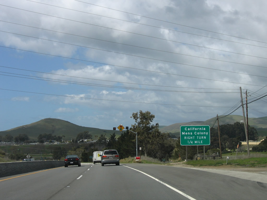
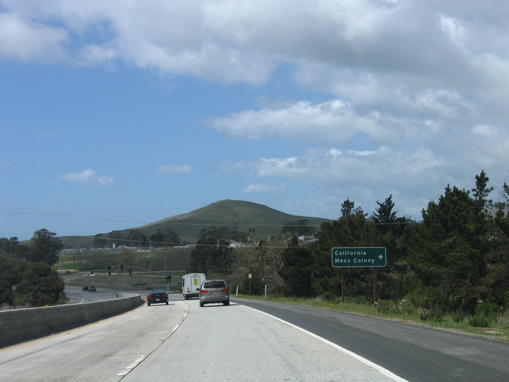
The next signalized intersection along California 1 (Cabrillo Highway) north is with Colony Drive north to the California Mens Colony. Photo taken 03/18/06. |
|
Northbound California 1 (Cabrillo Highway) approaches Colony Drive north to the California Mens Colony. Photo taken 03/18/06. |
|
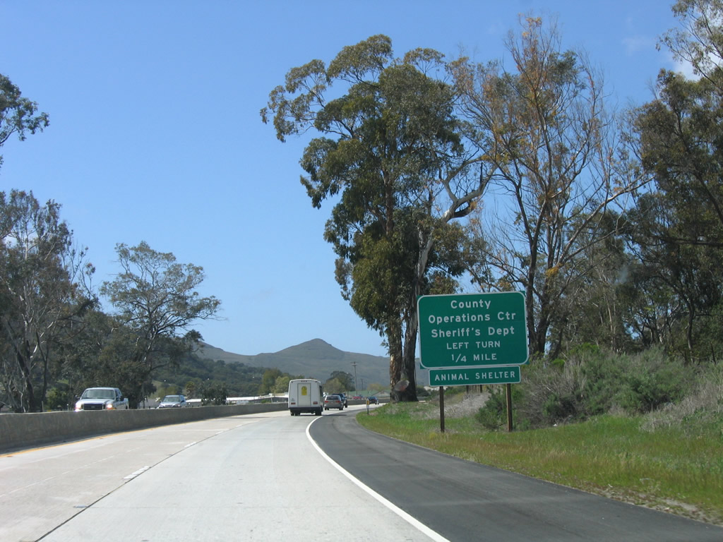
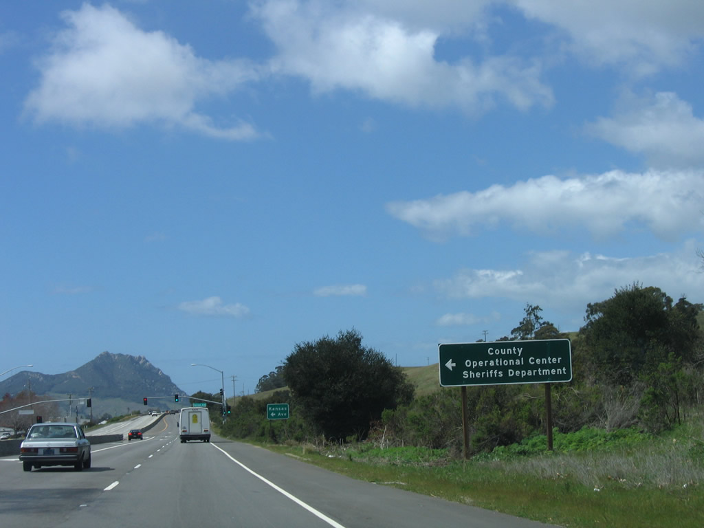
The next signalized intersection along California 1 (Cabrillo Highway) north is with Kansas Avenue southwest to the San Luis Obispo County Operations Center (including the County Sheriff and Animal Shelter). Photo taken 03/18/06. |
|
Another sign advises of the turnoff to Kansas Avenue to the County Operations Center. Photo taken 03/18/06. |
|
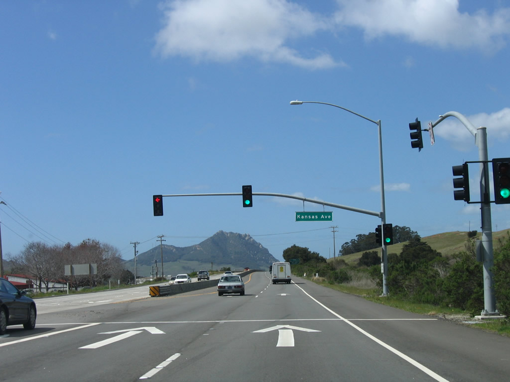
Northbound California 1 (Cabrillo Highway) meets Kansas Avenue southwest to the San Luis Obispo County Operations Center. Photo taken 03/18/06. |
|
The next intersection along California 1 (Cabrillo Highway) north is with Kern Avenue into Camp San Luis Obispo (a military reservation). Photo taken 03/18/06. |
|
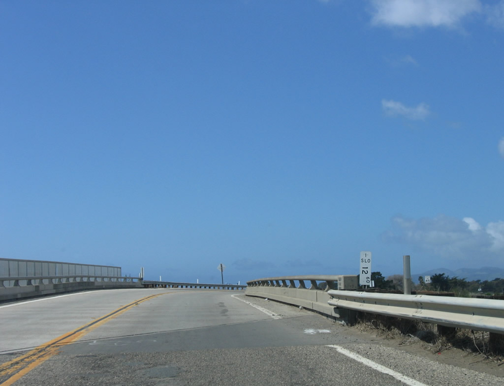
California 1 crosses Chorro Creek via this bridge. Photo taken 03/18/06. |
|
Turn left from California 1 (Cabrillo Highway) north to Kern Avenue to Camp San Luis Obispo. Photo taken 03/18/06. |
|
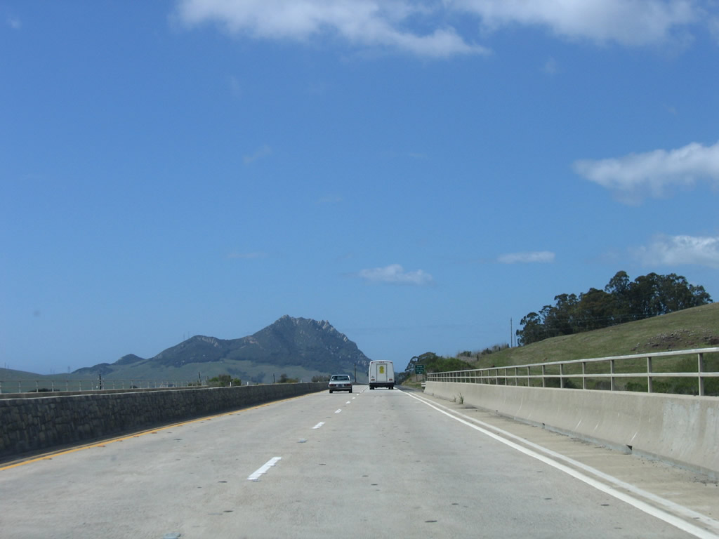
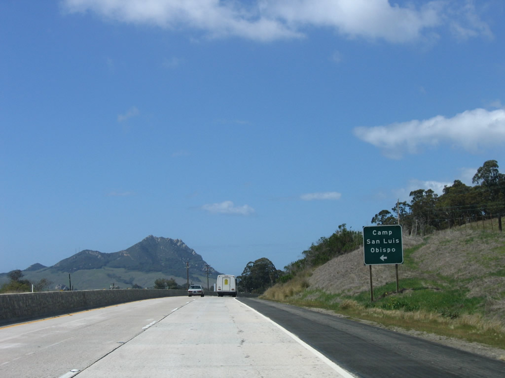
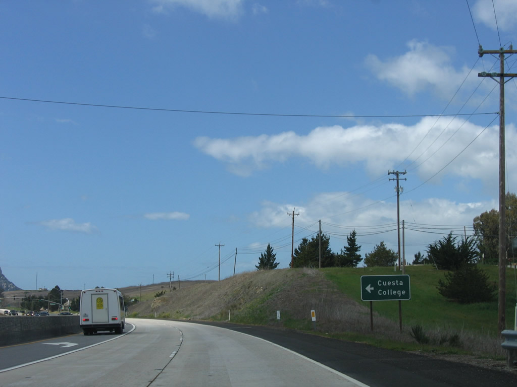
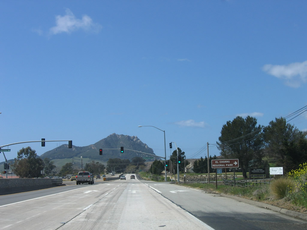
Northbound California 1 (Cabrillo Highway) meets Kern Avenue at this intersection. The next intersection is with Dairy Creek Road north to El Chorro Regional Park and Dairy Creek Golf Course and Hollister Avenue south to Cuesta College. Photo taken 03/18/06. |
|
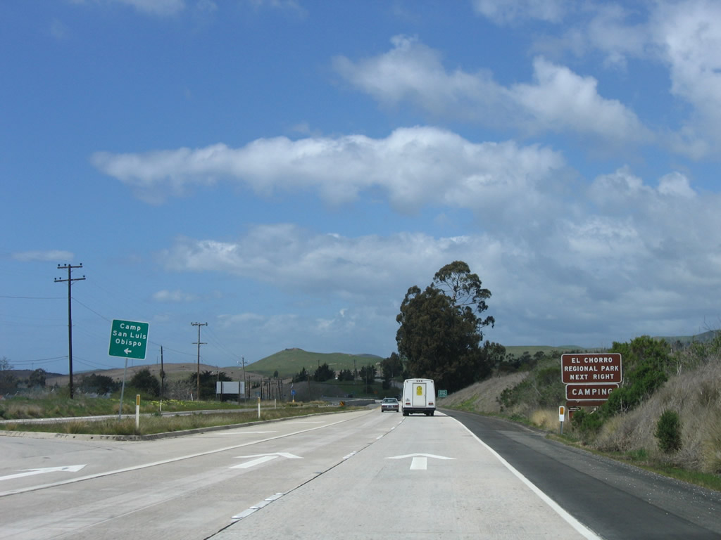
At the next traffic signal, you can turn left for Hollister Avenue south to Cuesta College or right for Dairy Creek Road north to El Chorro Regional Park. Photo taken 03/18/06. |
|
A second trailblazer guide sign for Cuesta College is posted prior to the Hollister Avenue and Dairy Creek Road traffic signal. Photo taken 03/18/06. |
|
Northbound California 1 (Cabrillo Highway) meets Dairy Creek Road north to El Chorro Regional Park and Dairy Creek Golf Course and Hollister Avenue south to Cuesta College. Photo taken 03/18/06. |
|
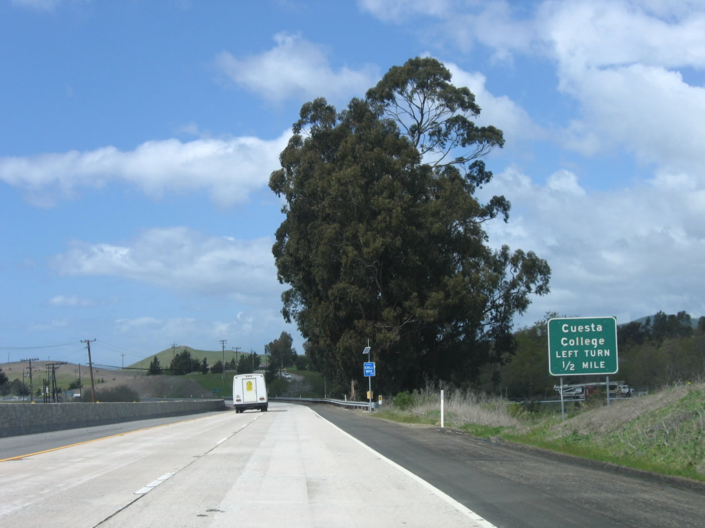
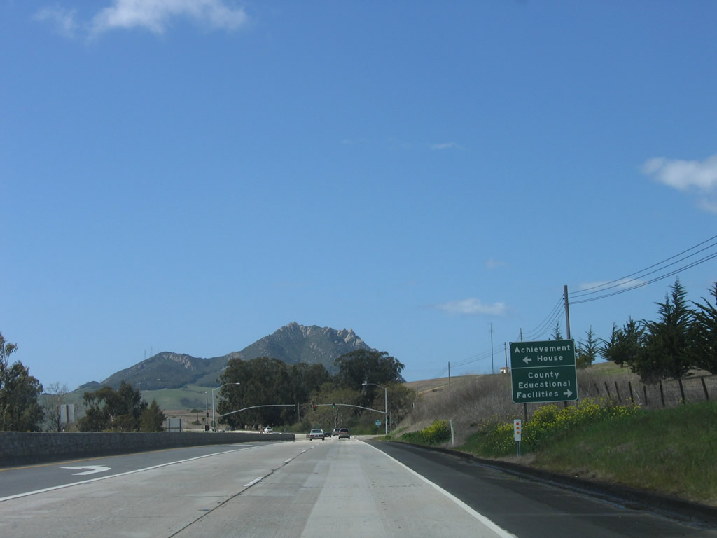
The next signalized intersection along California 1 (Cabrillo Highway) north is with Education Drive south to Achievement House (Cuesta College) and north to San Luis Obispo County Educational Facilities. Photo taken 03/18/06. |
|
Meeting Education Drive, California 1 continues as an expressway en route to Morro Bay. While the northbound lanes feature concrete, the southbound lanes are asphalt. Photo taken 03/18/06. |
|
A California 1 north reassurance shield is posted after the Education Drive signalized intersection. Photo taken 03/18/06. |
|
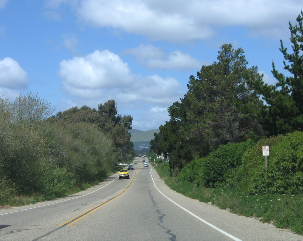
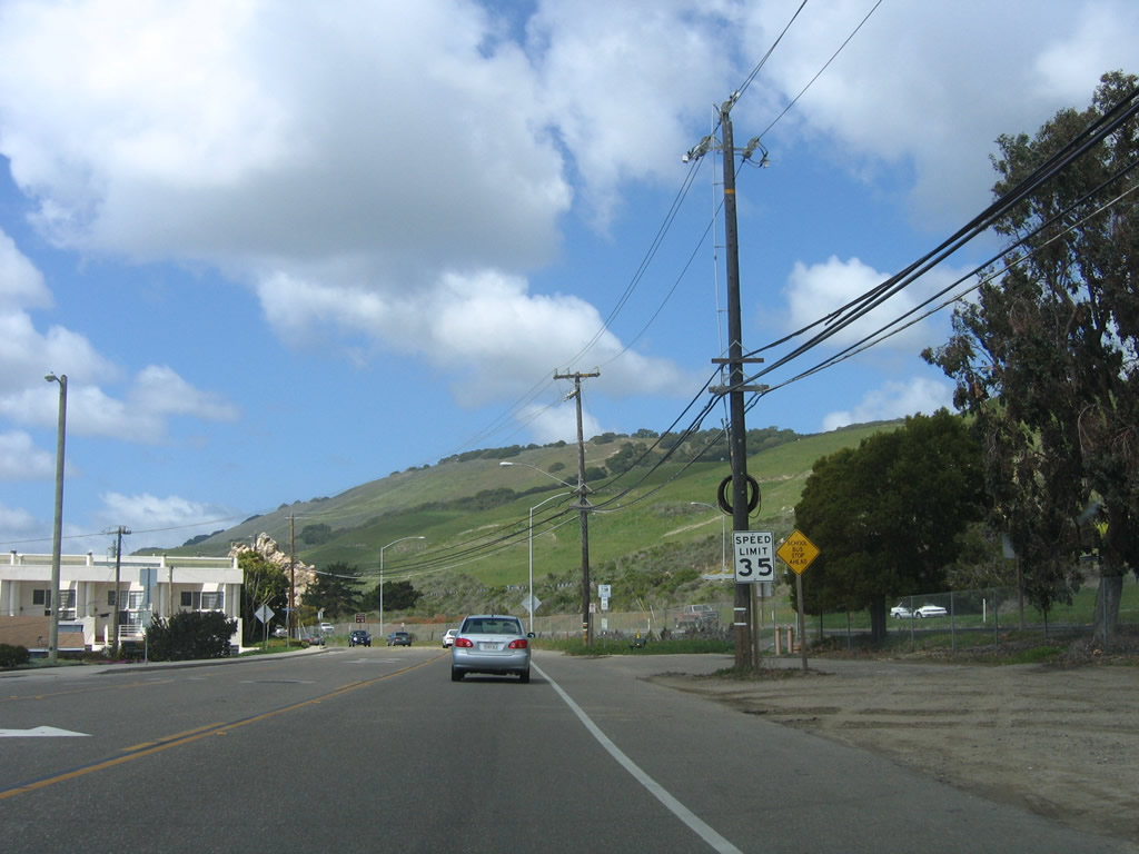
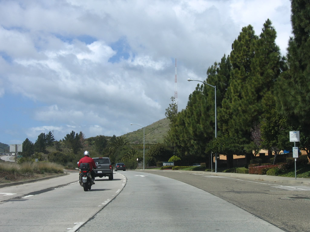
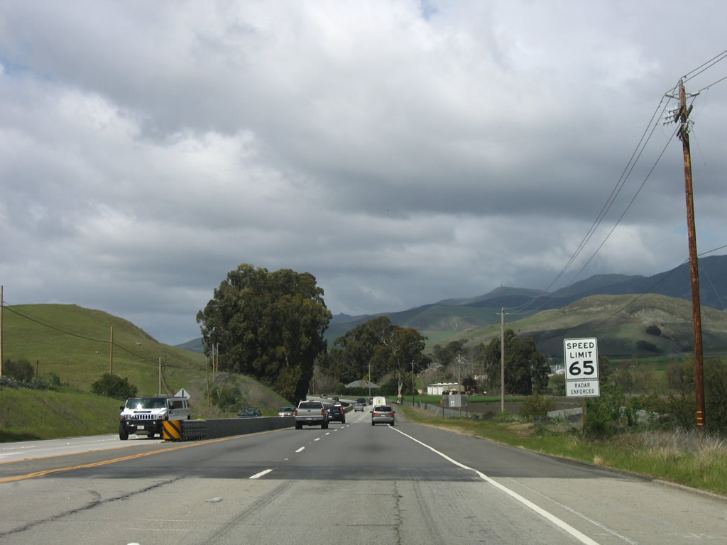
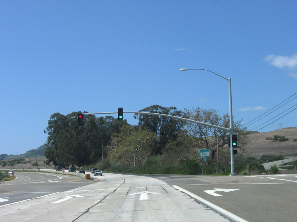
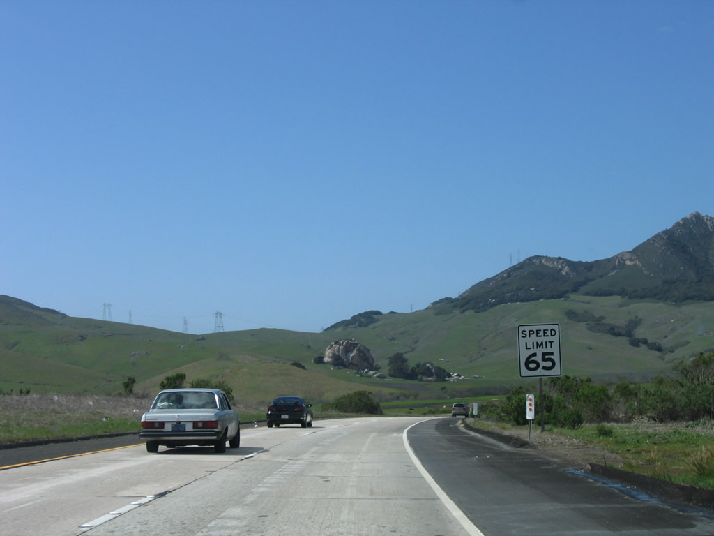
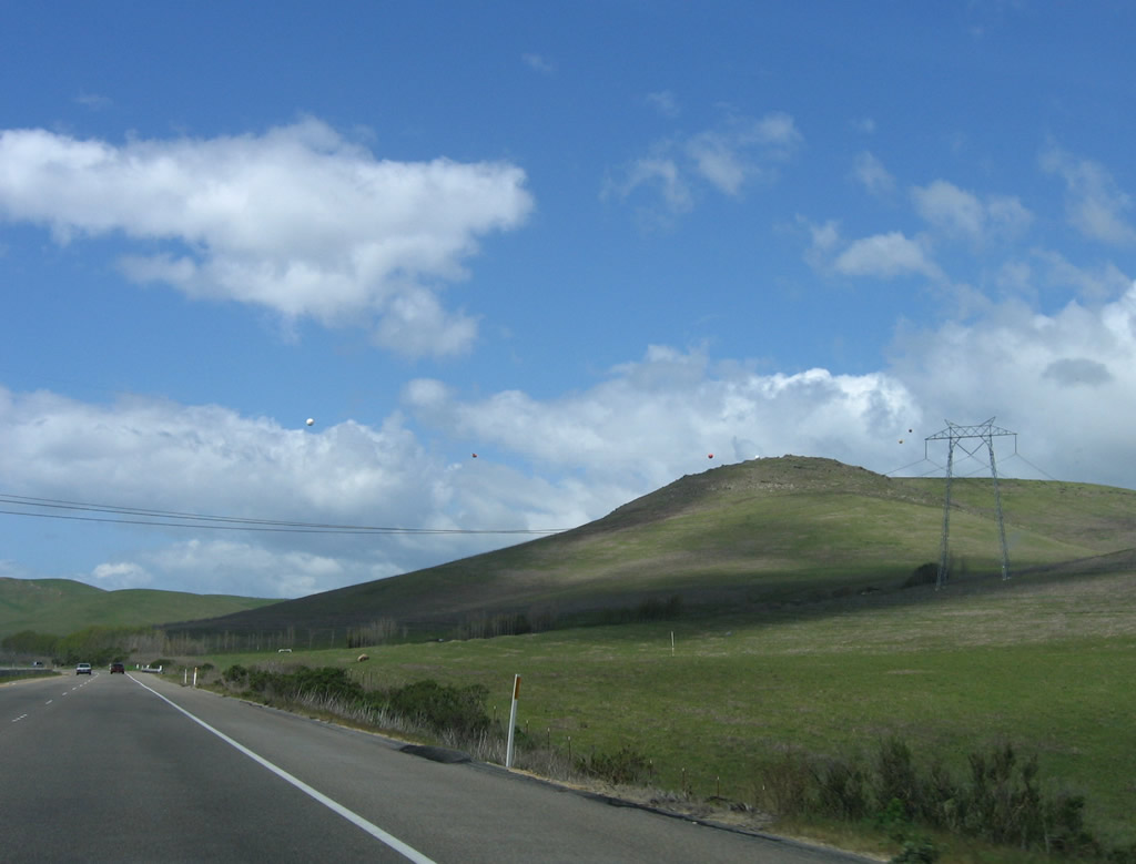
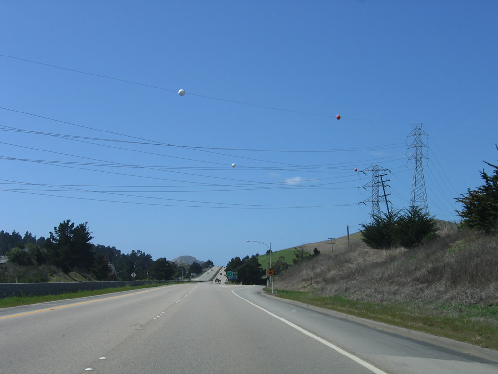
The speed limit increases to 65 miles per hour as California 1 proceeds northwest toward Morro Bay. On the ridgeline in the distance is a 500kV power line that carries electricity from the Diablo Canyon Nuclear Generating Station northeast to the north-south Path 15 power transmission corridor in the Central Valley. Photo taken 03/18/06. |
|
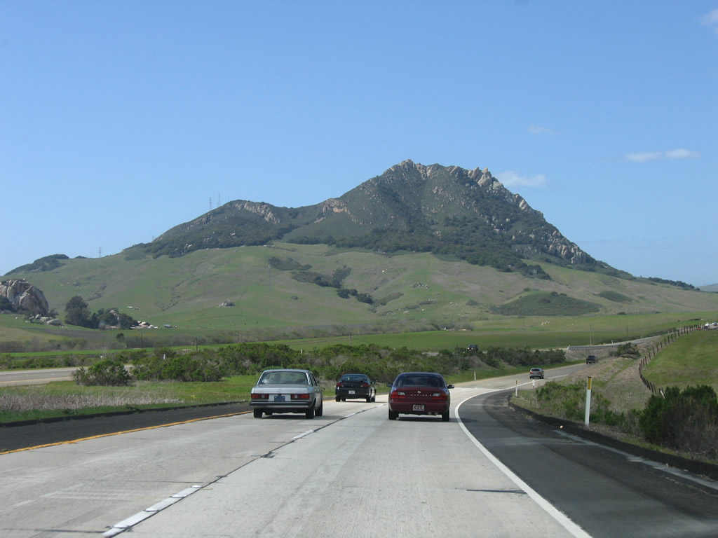
Hollister Peak (el. 1,409 feet) rises in the distance as California 1 proceeds northwest toward Morro Bay. Photo taken 03/18/06. |
|
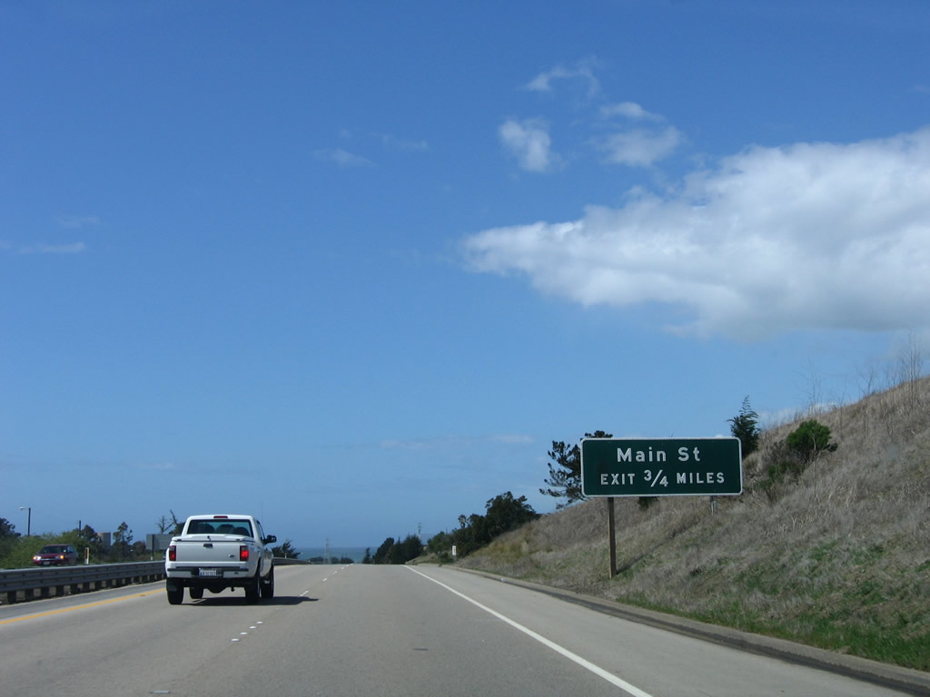
The expressway for California 1 continues northwest toward Morro Bay. Photo taken 03/18/06. |
|
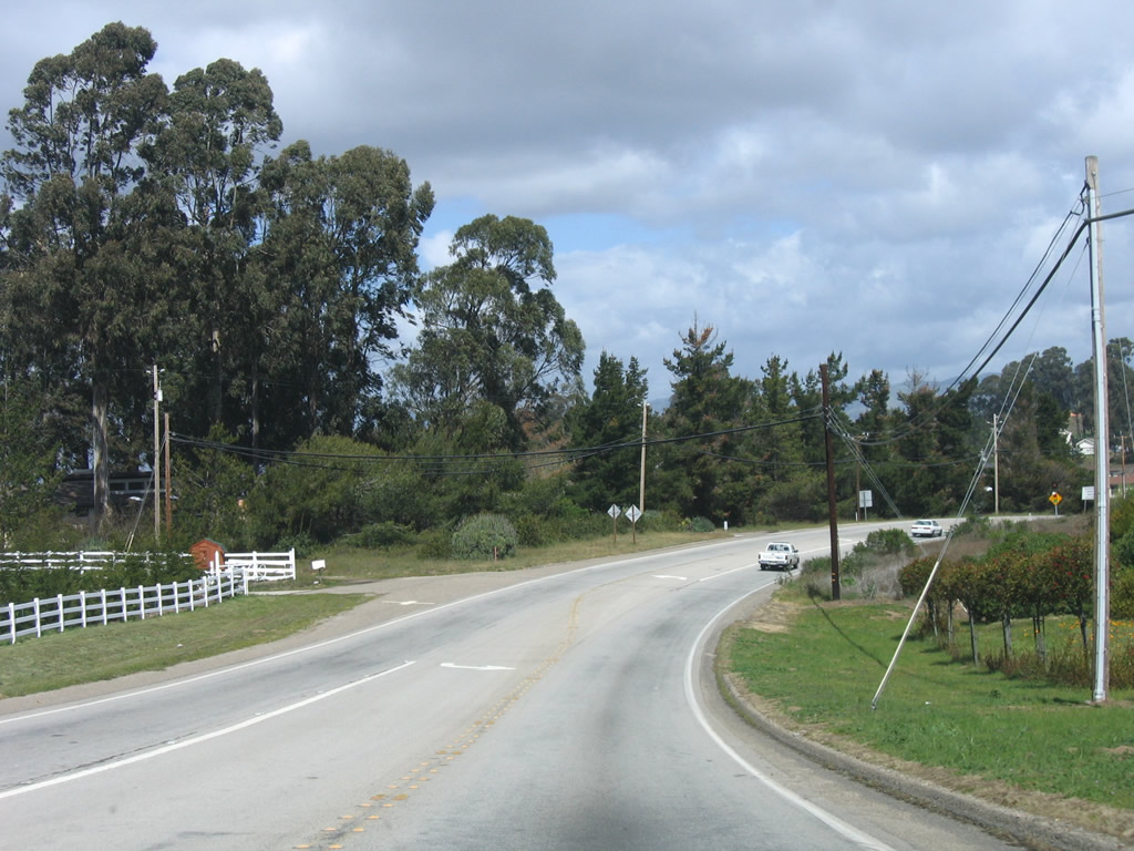
Northbound California 1 approaches Gilardi Road (local access). Photo taken 03/18/06. |
|
|
The aforementioned 500kV Pacific Gas and Electric power line crosses over California 1 about midway between San Luis Obispo and Morro Bay. The nuclear power plant is south of here in Diablo Canyon, which is west of San Luis Obispo along the coast. Photo taken 03/18/06. |
|
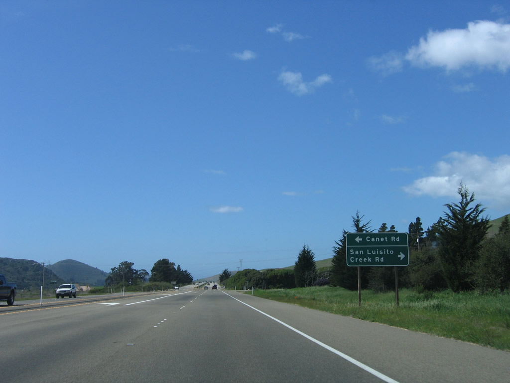
Northbound California 1 approaches Canet Road south and San Luisito Creek Road north. Photo taken 03/18/06. |
|
After the Canet Road intersection, Morro Rock comes into view for the first time. Morro Rock rises to an elevation of 578 feet and acts as a sentry at the entrance to Morro Bay. Photo taken 03/18/06. |
|
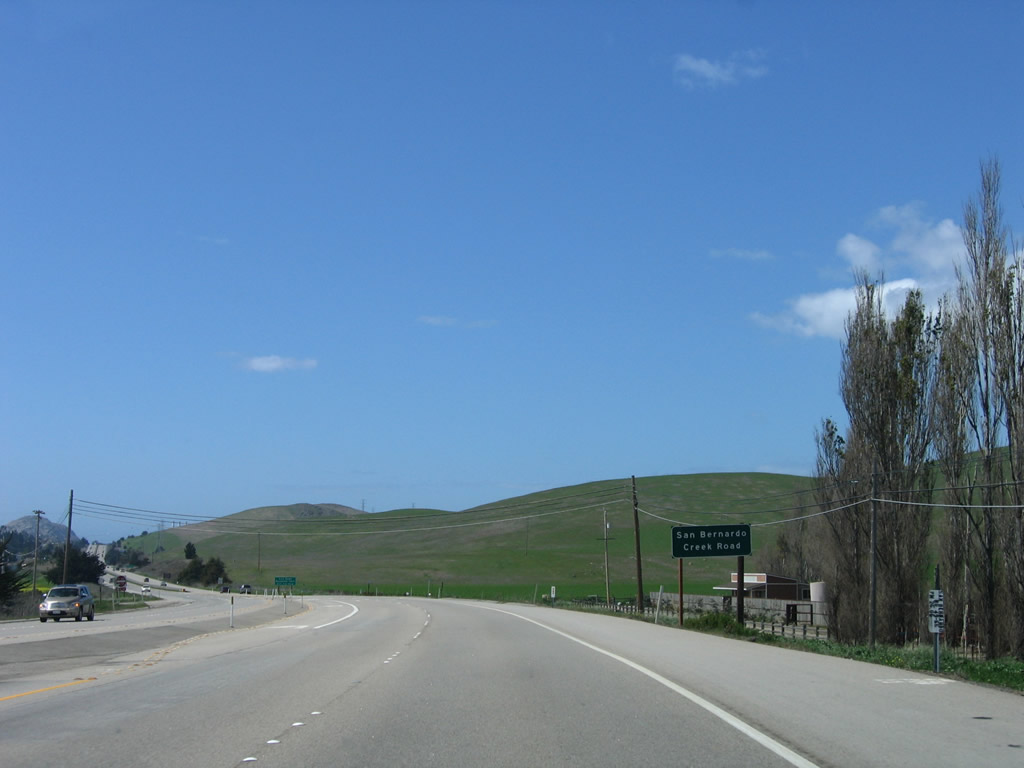
The final at-grade intersection along this stretch of California 1 expressway is with San Bernardo Creek Road. Photo taken 03/18/06. |
|
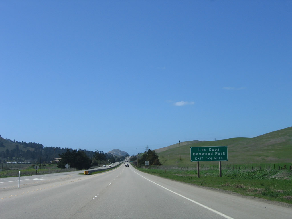
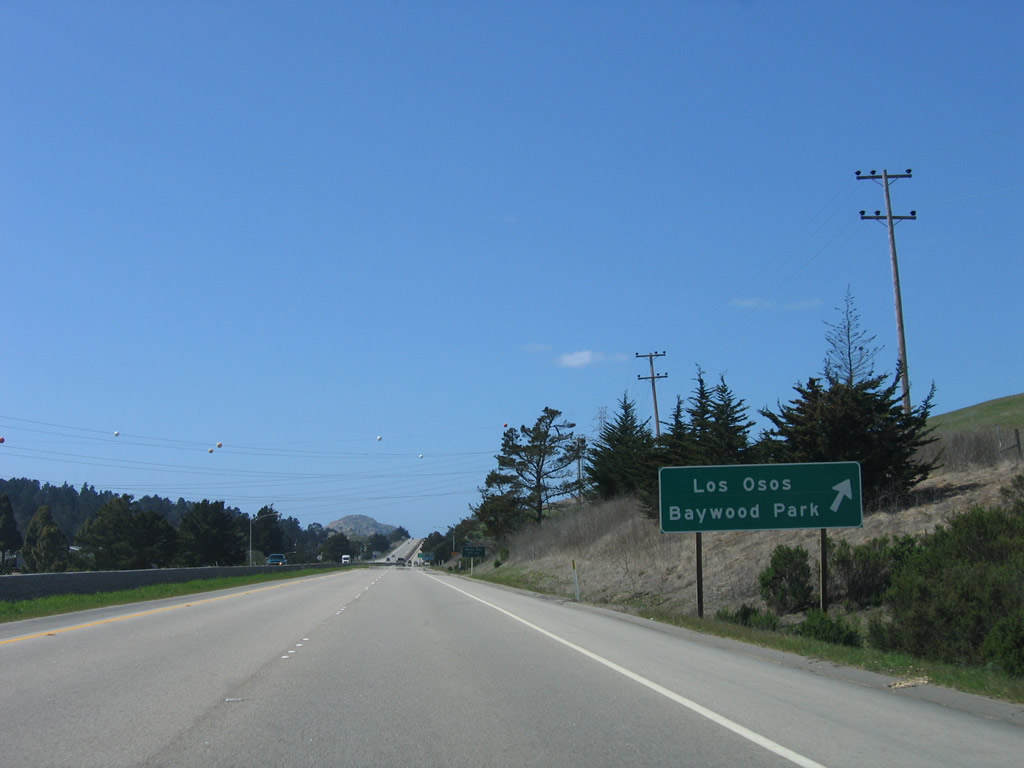
The first exit on this stretch of California 1 freeway is Exit 277, South Bay Boulevard south to Morro Bay State Park and the unincorporated communities of Baywood Park, Cuesta-by-the-Sea, and Los Osos. Photo taken 03/18/06. |
|
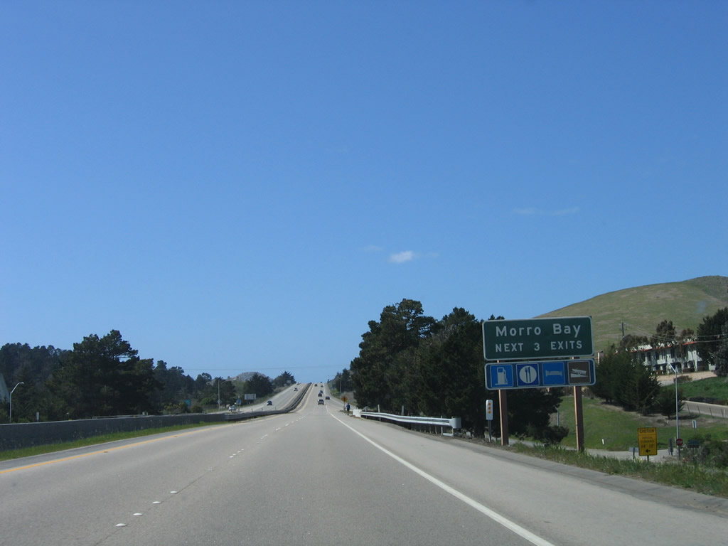
California 1 resumes a freeway configuration for the first time since leaving U.S. 101. The freeway currently extends as a bypass through the city of Morro Bay, reverts to an expressway between Morro Bay and Cayucos, and again has a freeway configuration around Cayucos. North of Cayucos, California 1 generally remains with just two lanes through the Big Sur all the way to the freeway segment that begins in Monterey. Photo taken 03/18/06. |
|
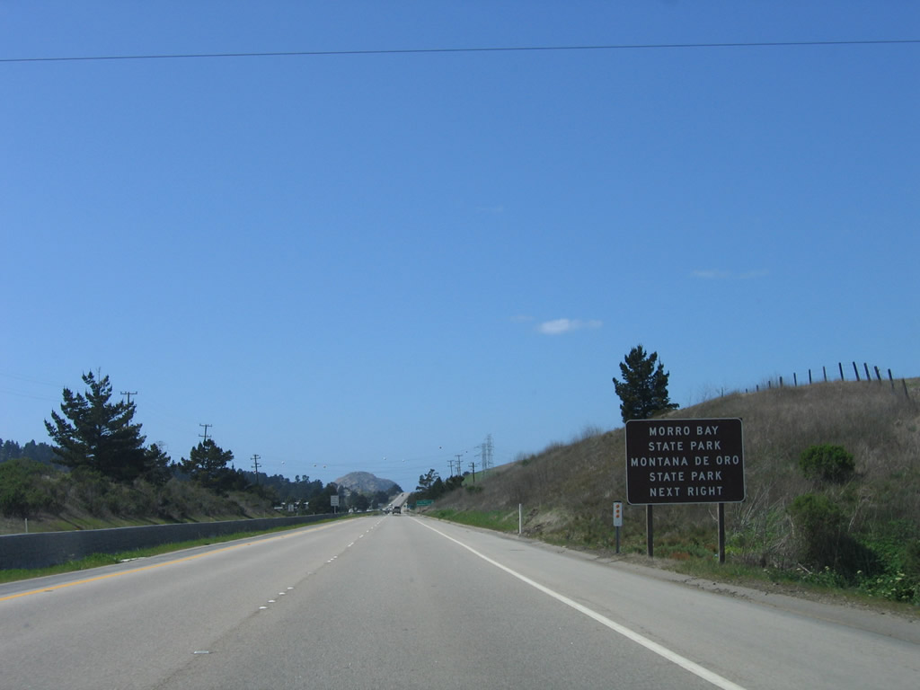
Use South Bay Boulevard south to Morro Bay State Park, which includes lagoons and wetlands on the east side of Morro Bay, and Montana de Oro State Park, which covers the peninsula that separates Morro Bay from the Pacific Ocean. Photo taken 03/18/06. |
|
Northbound California 1 (Cabrillo Highway) reaches Exit 277, South Bay Boulevard south to Morro Bay State Park, Montana de Oro State Park, and the unincorporated communities of Baywood Park, Cuesta-by-the-Sea, and Los Osos. Photo taken 03/18/06. |
|
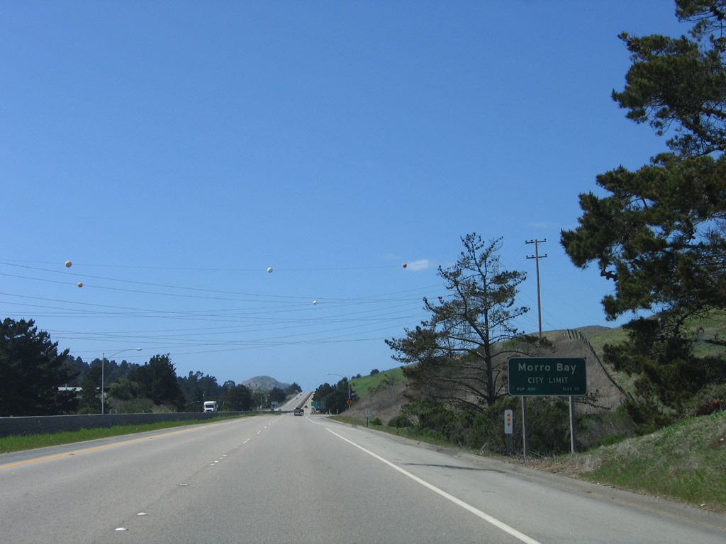
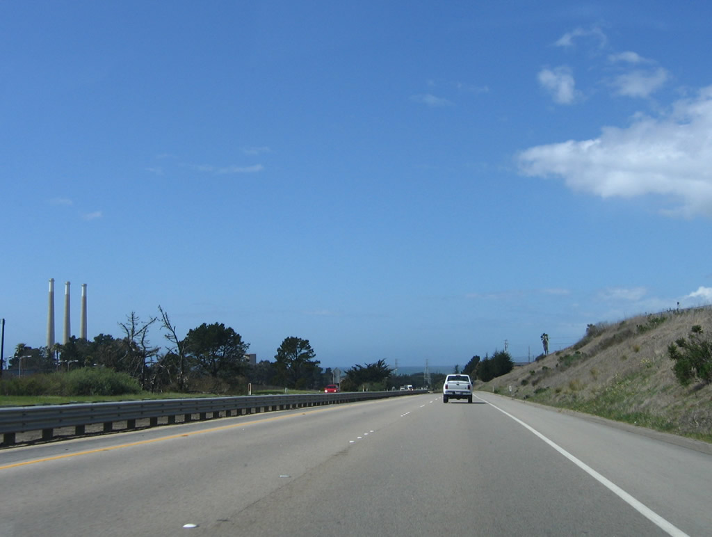
At this point, California 1 enters the city of Morro Bay (population 10,350 as of the 2000 Census). This coastal city is distinctive for its bay and towering Morro Rock, a volcanic plug. While it is illegal to climb Morro Rock, people can get fairly close to the rock. The bay is fairly shallow, and it is not a significant port on the scale of some other bays along the west coast. Another towering feature in Morro Bay is the Dynegy (formerly Pacific Gas and Electric) natural gas power plant, which is proposed for modifications that will eventually result in the removal of its three 450-foot stacks (they would be replaced with shorter stacks that would only reach 145 feet tall). Photo taken 03/18/06. |
|
Prior to the off-ramp for Exit 277 (South Bay Boulevard), a pair of Pacific Gas and Electric power lines (which connect the Diablo Canyon Nuclear Power Generating Station with the Morro Bay Dynegy Natural Gas Power Plant) cross over the California 1 freeway. Photo taken 03/18/06. |
|
The next three exits all serve the city of Morro Bay: Exit 278, Morro Bay Boulevard; Exit 279A, Main Street; and Exit 279B, Atascadero Road west and California 41/Atascadero Road east to Atascadero. Photo taken 03/18/06. |
|
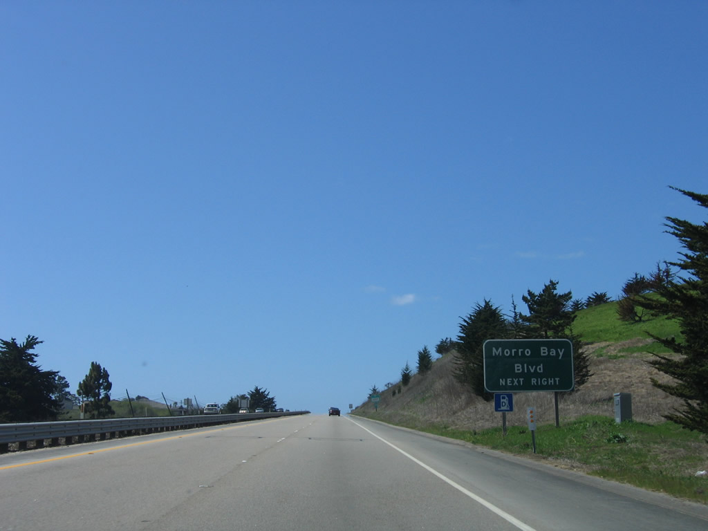
The next exit along California 1 north is with Exit 278, Morro Bay Boulevard west to downtown Morro Bay. Photo taken 03/18/06. |
|
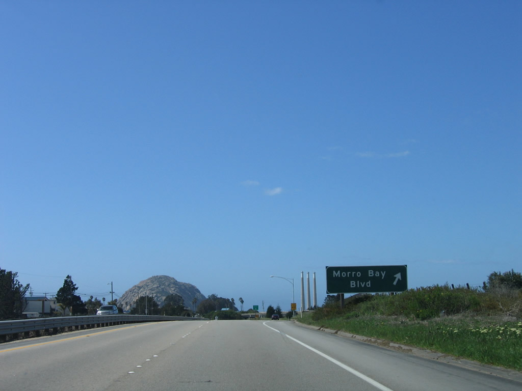
Northbound California 1 (Cabrillo Highway) meets Exit 278, Morro Bay Boulevard to downtown. Both Morro Rock and the Dynegy Power Plant come into view. Photo taken 03/18/06. |
|
This view shows Morro Rock and the power plant before California 1 turns from west to northwest and before passing under the Morro Bay Boulevard overpass (a trumpet interchange). Photo taken 03/18/06. |
|
A California 1 reassurance shield is posted after the on-ramp from Morro Bay Boulevard. Photo taken 03/18/06. |
|
The next exit along California 1 north is Exit 279A, Main Street. Photo taken 03/18/06. |
|
For the first time since leaving U.S. 101, the Pacific Ocean again comes into view on California's coastal route, California 1. Photo taken 03/18/06. |
|
Northbound California 1 (Cabrillo Highway) reaches Exit 279A, Main Street. Morro Bay Boulevard and Main Street together form an old alignment of California 1 through downtown Morro Bay. The freeway now carries the state route around downtown and through the city. Photo taken 03/18/06. |
|
Several Pacific Gas and Electric power lines cross over California 1 at Exit 279A, Main Street.. Photo taken 03/18/06. |
|
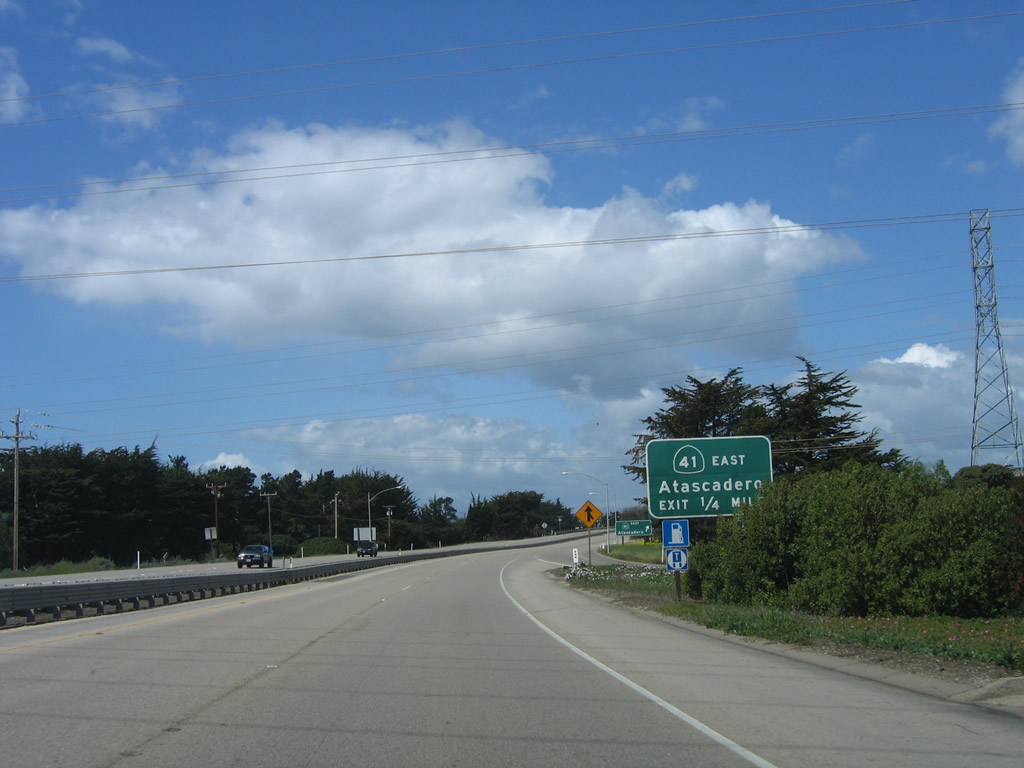
The next exit along California 1 (Cabrillo Highway) is Exit 279B, Atascadero Road west and California 41/Atascadero Road east to Atascadero. Photo taken 03/18/06. |
|
Northbound California 1 (Cabrillo Highway) reaches Exit 279B, Atascadero Road west and California 41/Atascadero Road east to Atascadero. This would be the historic terminus of U.S. 466, which used to extend from Morro Bay east to Atascadero, Bakersfield, Barstow, Las Vegas, and Kingman. While U.S. 466 was decommissioned in 1964, California 41 took over the segment of former U.S. highway between Morro Bay and Shandon via Atascadero. From here, California 41 travels east to Atascadero, then northeast to Fresno and north to its end in Yosemite National Park. Photo taken 03/18/06. |
|
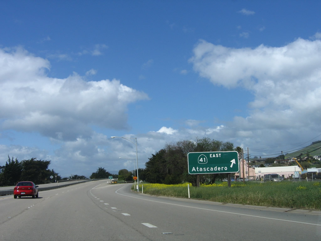
A pair of California 41 trailblazers are posted on the off-ramp to Exit 279B, Atascadero Road. This interchange marks the southwestern terminus of California 41. Photo taken 03/18/06. |
|
A pair of California 1 north freeway entrance shields are posted for the on-ramp back to the freeway. Turn right here to California 41 east to Atascadero. Photo taken 03/18/06. |
| Currently, we have no coverage of California 1 north between California 41 in Morro Bay and California 46 near Cambria. |
|
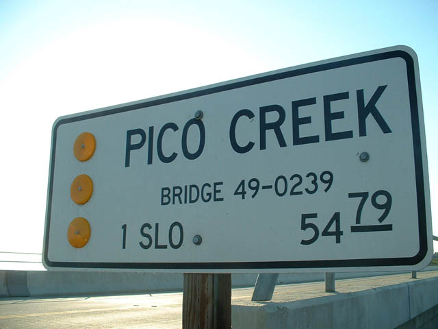
Skipping ahead, this California 1 north shield assembly is posted in San Simeon just north of the motel circle south of Hearst Castle State Park near the Pico River Bridge. Photo taken 08/18/03. |
|
|
|
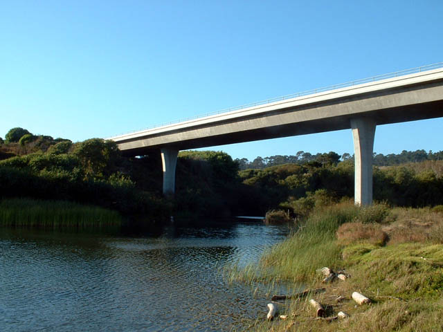
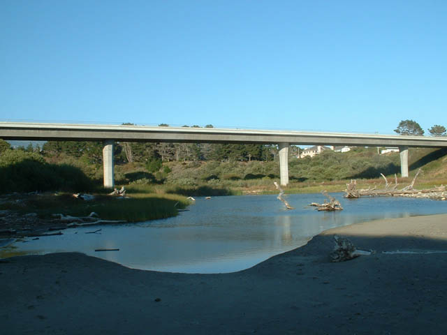
View of the Pico River Bridge as seen from alongside California 1 on the beach as well as the identification sign along northbound. This bridge is located just north of the San Simeon Motel Circle area. Suite of photos taken on 08/18/03. |
Page Updated June 29, 2009.