
California 1 South - Marin County
| California 1 south | |
|---|---|
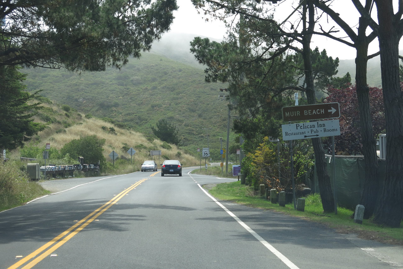 |
Leaving the intersection with Muir Woods Road in Muir Beach, the next right turn connects to Pacific Way. Use Pacific Way west into the residential areas of the unincorporated community of Muir Beach, which had a population of 310 as of the 2010 Census and sits adjacent to lands protected within the Golden Gate National Recreation Area. Photo taken 07/02/13. |
 |
 |
 |
 |
 |
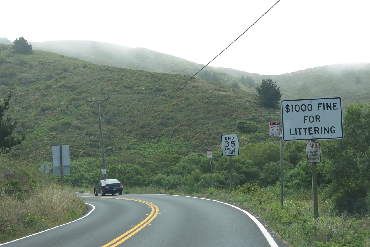
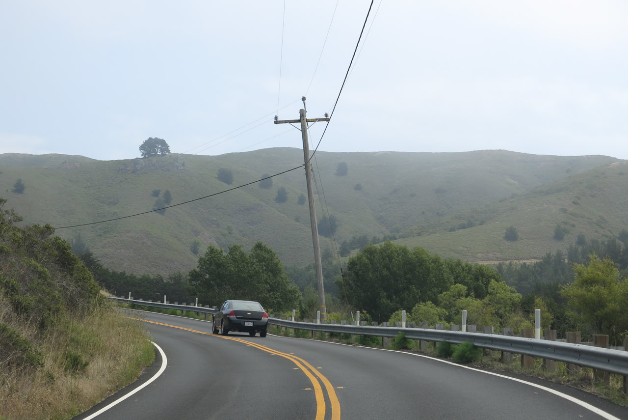
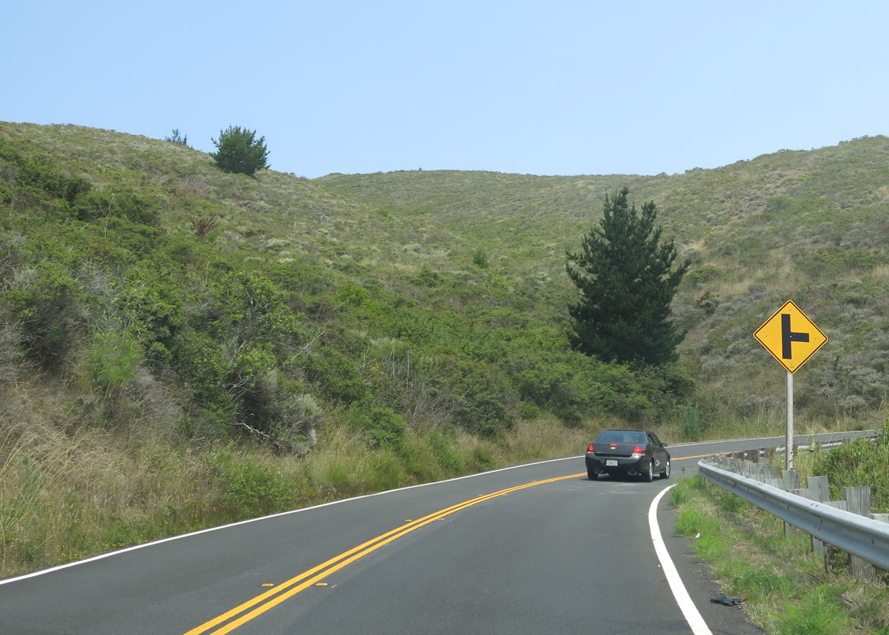
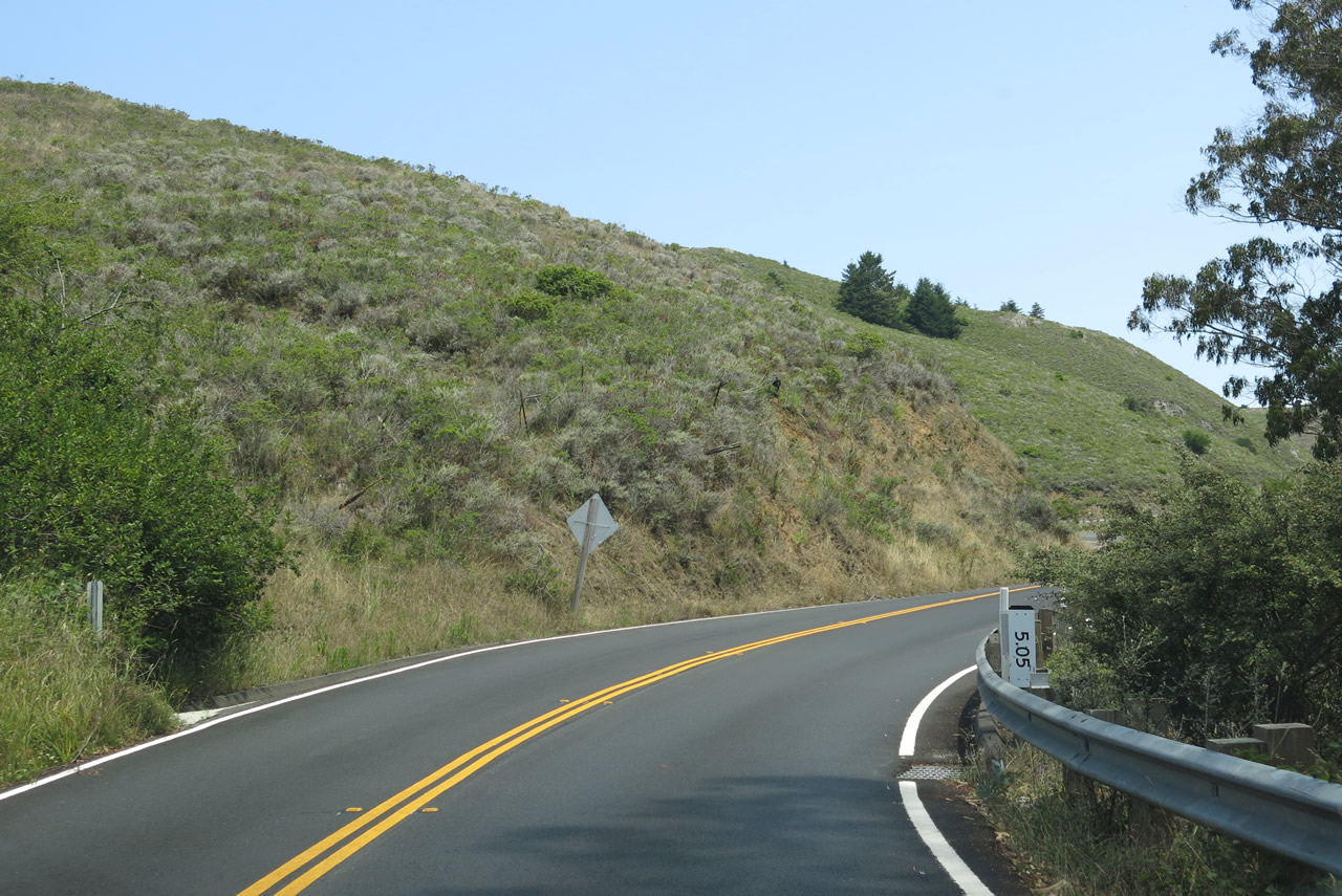
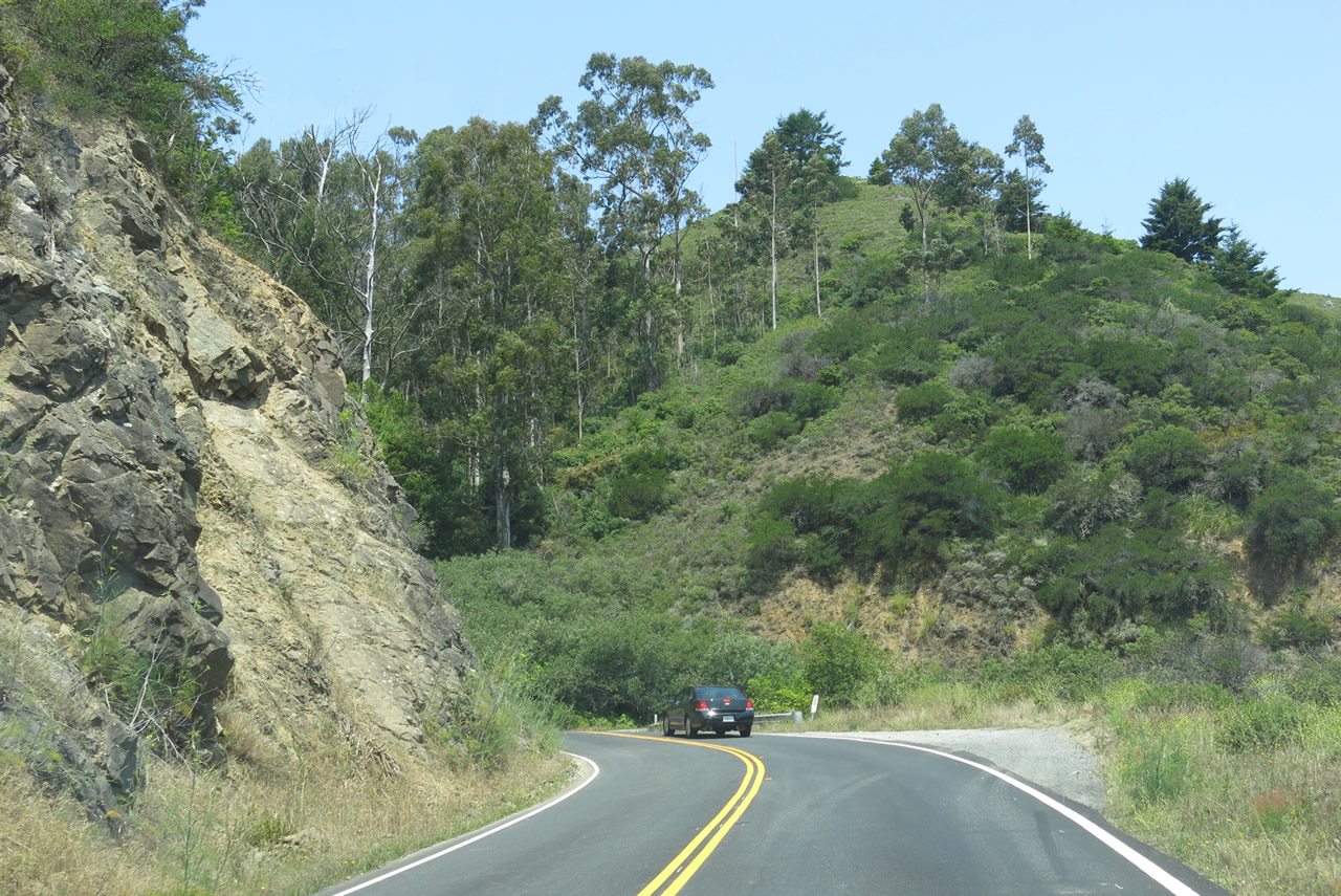
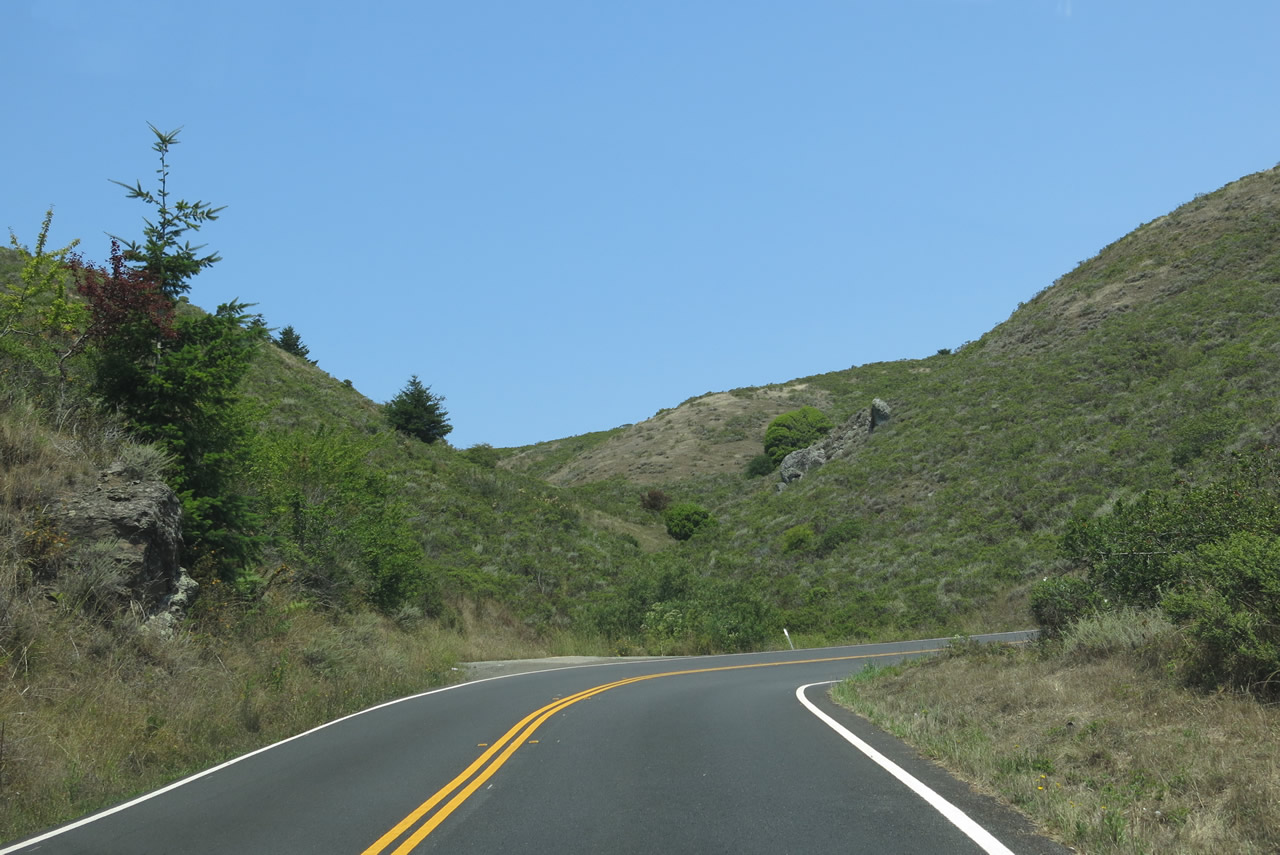
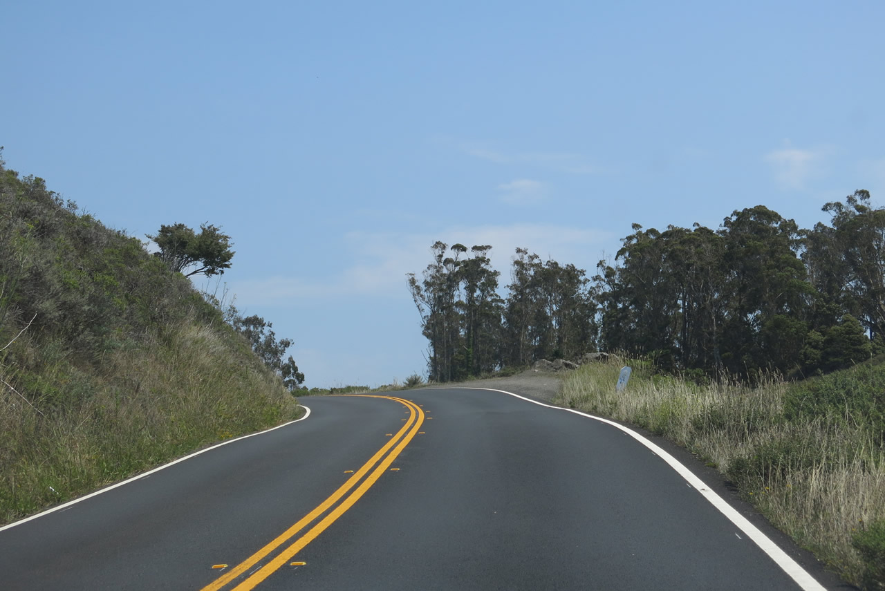
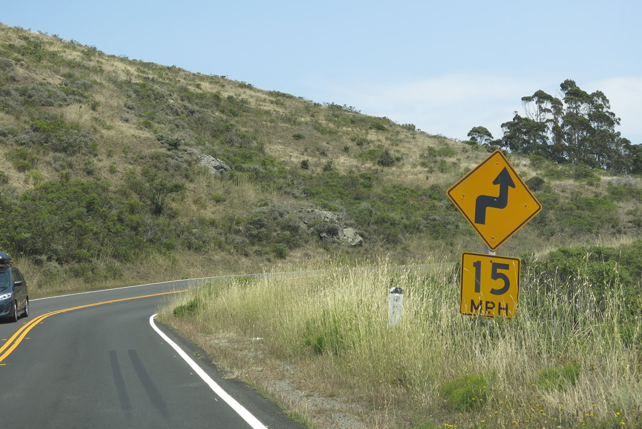
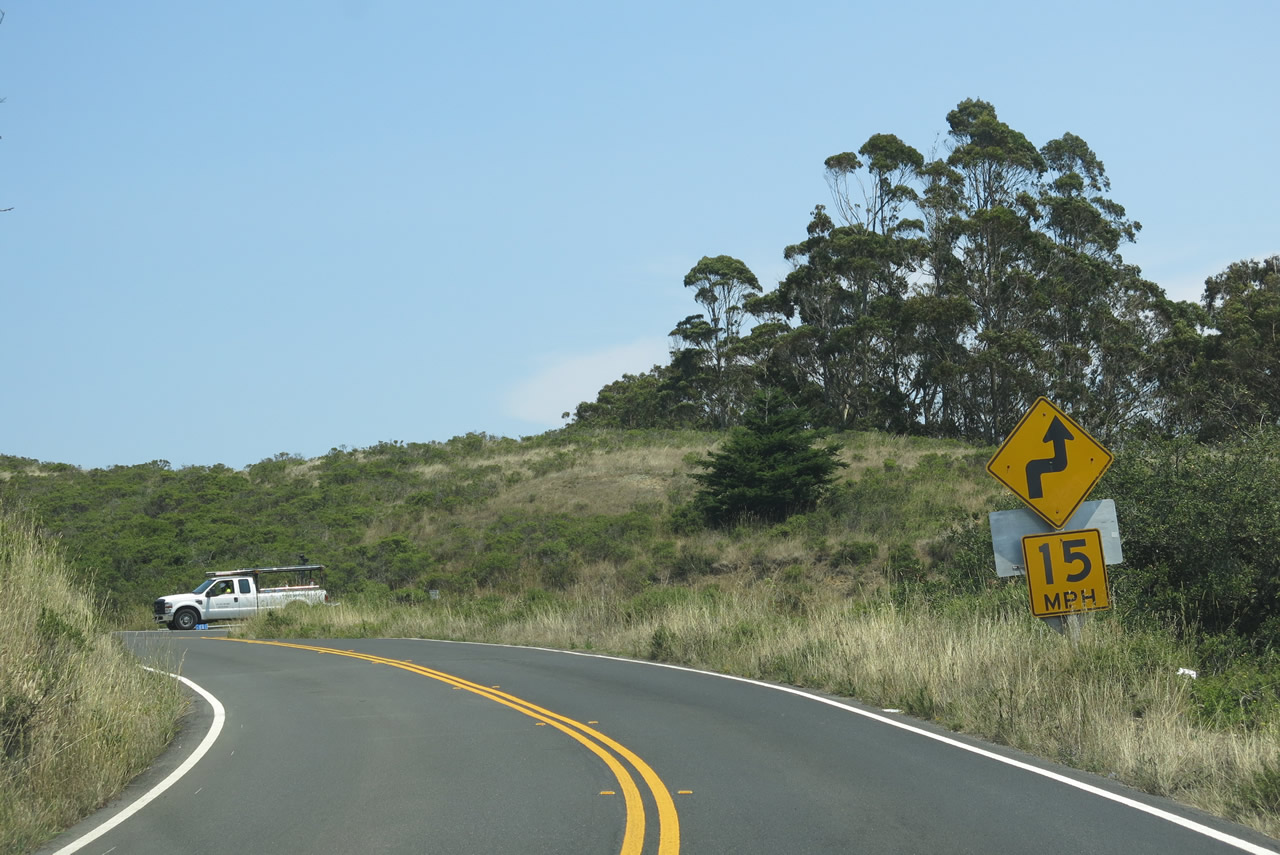
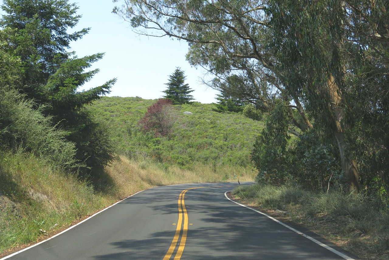
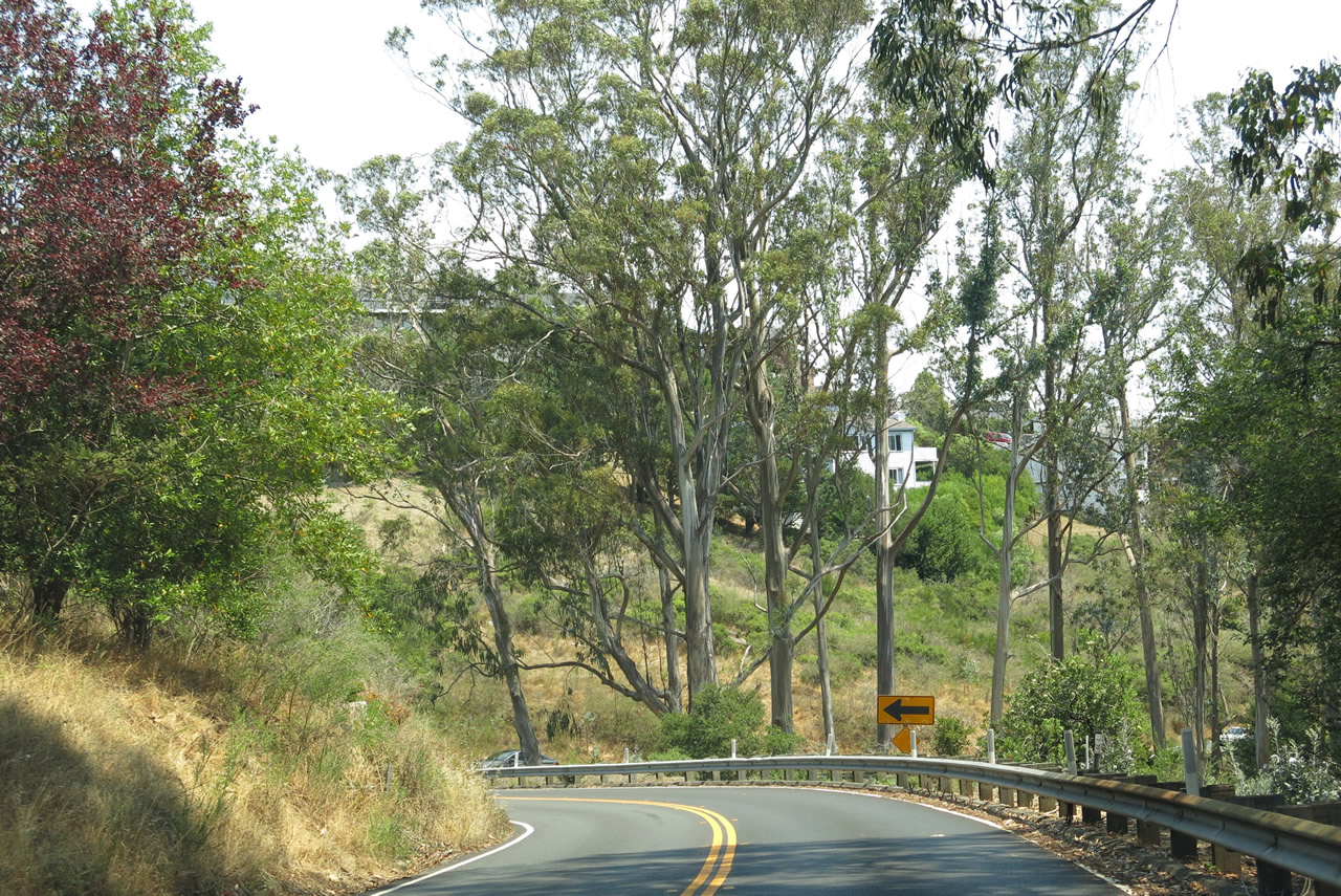
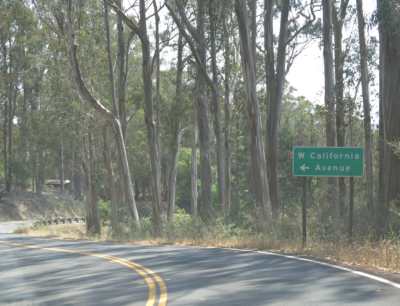
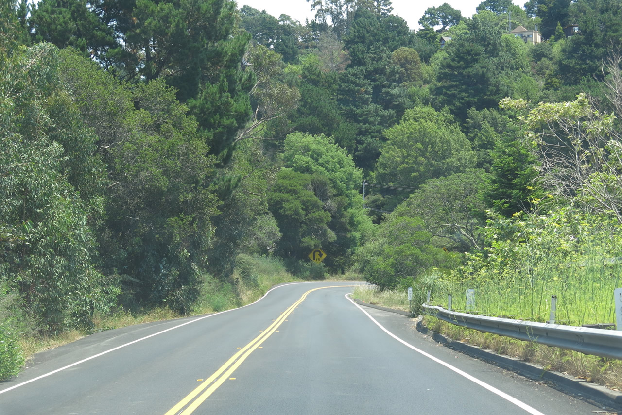
| California 1 begins its ascent onto the southern flank of Mount Tamalpais between Muir Beach and Tamalpais Valley. Initially, California 1 will tread a path between the Dias Ridge on the left and Green Gulch on the right. Due to the rugged topography of the area and lay of the land, California 1 will have a very winding, curving stretch of highway from here east to the intersection with Panoramic Highway. As most of the route between here and Panoramic Highway is narrow, busy, and uphill, with a drop off on the right, motorists must be cautious. The majority of large trees seen along this stretch of California 1 are non-native eucalyptus trees, which was planted through here starting in 1853. Photos taken 07/02/13. | ||||
 |
 |
 |
 |
 |
 |
 |
 |
 |
 |
 |
 |
 |
 |
 |
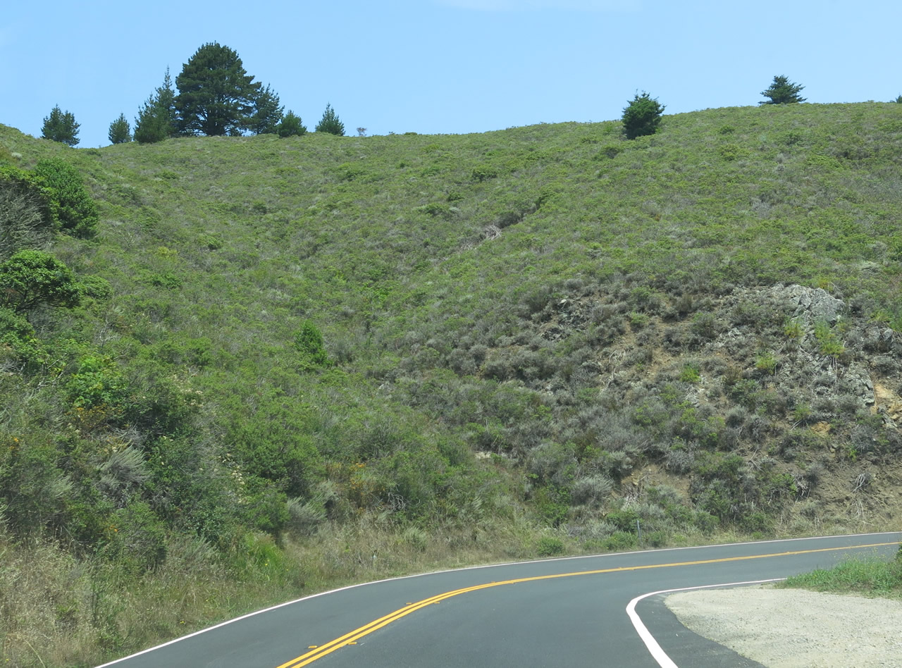
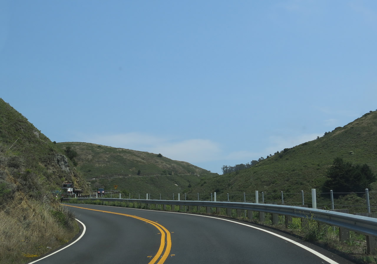
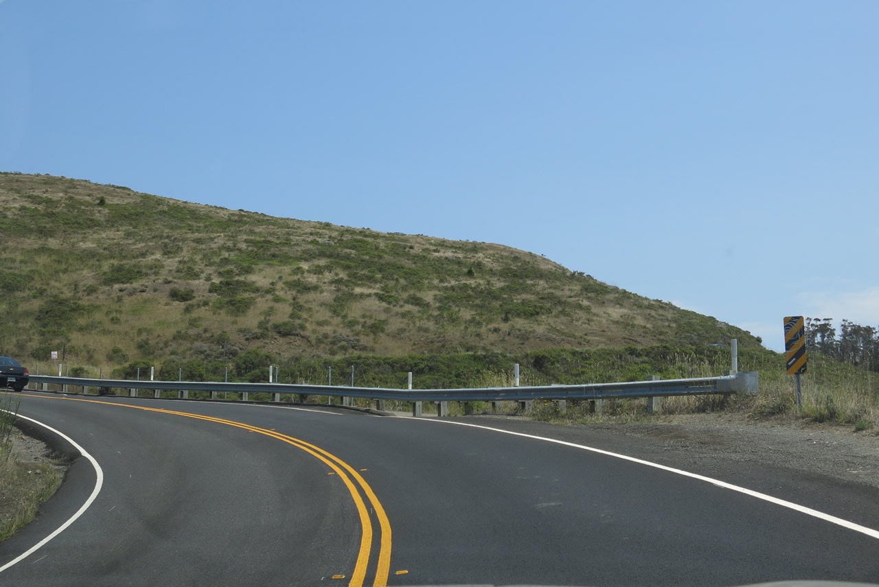
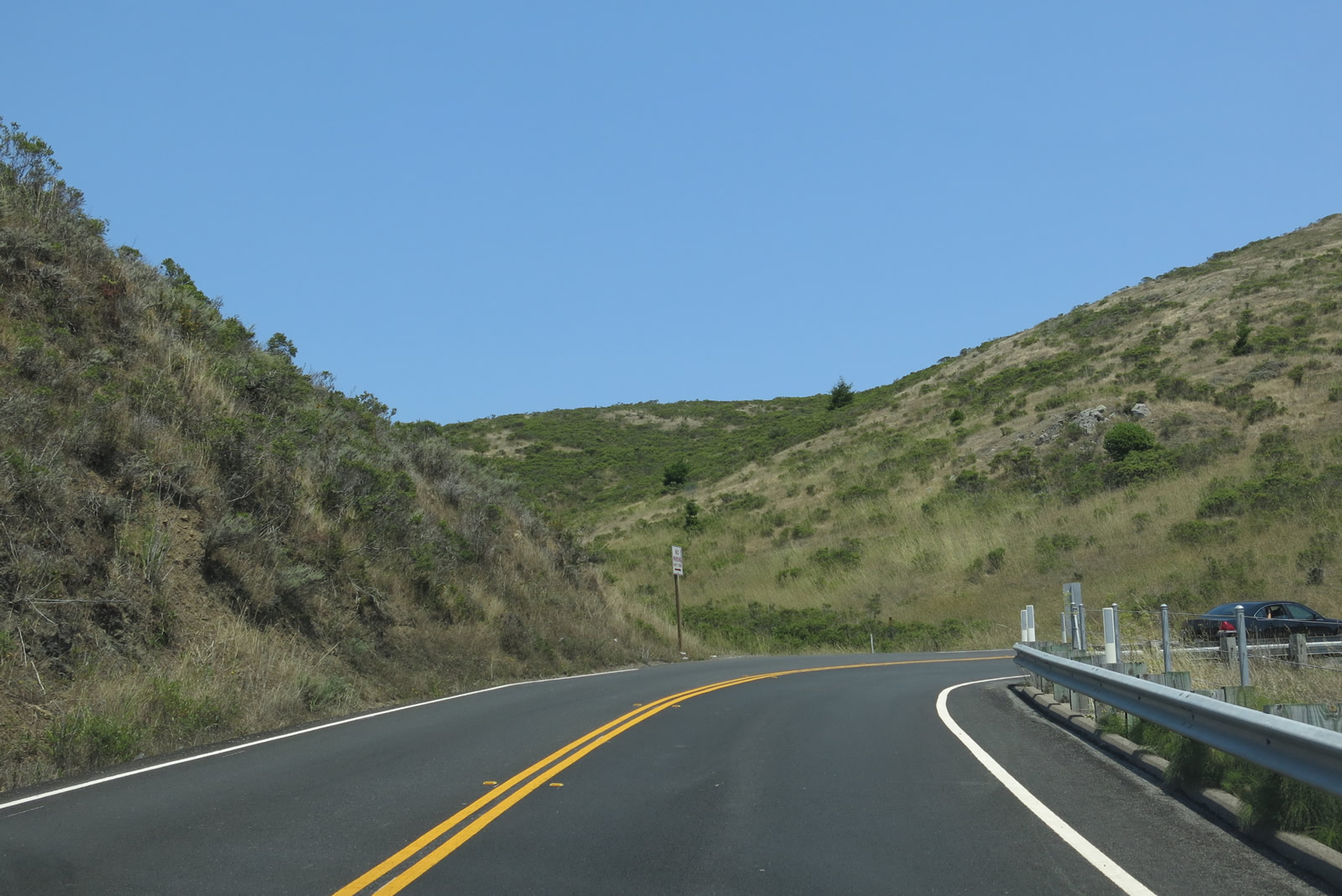
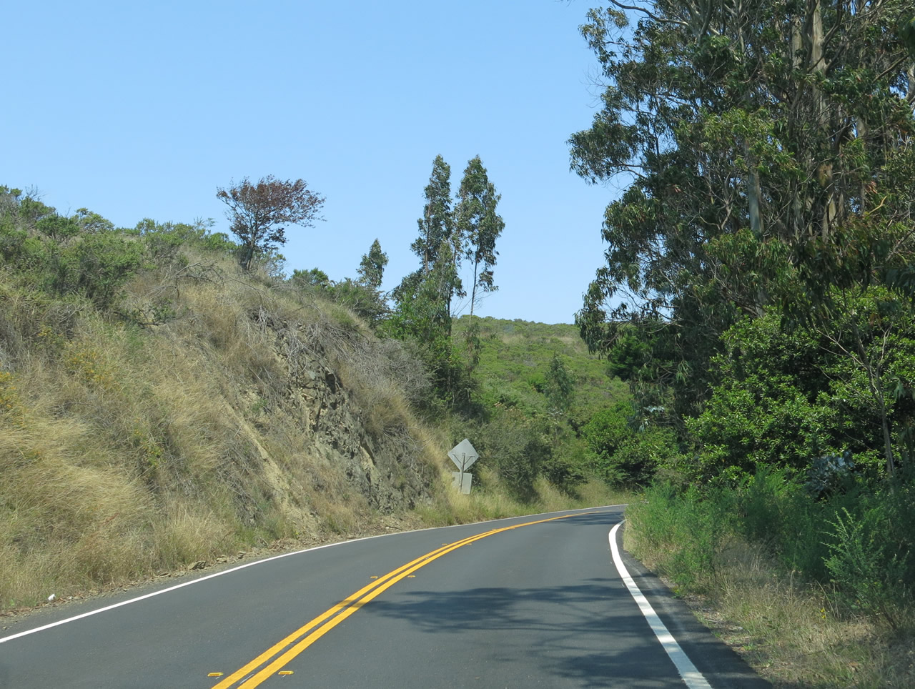
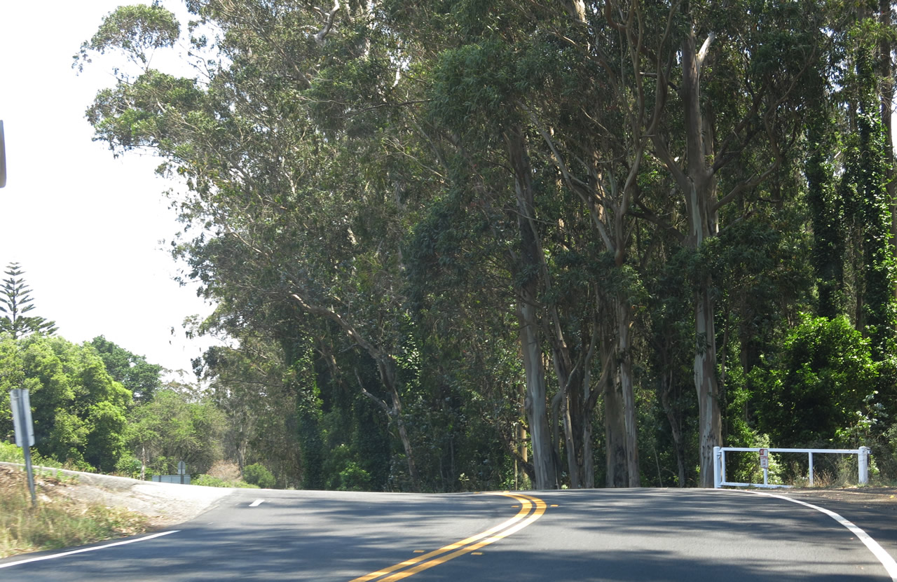
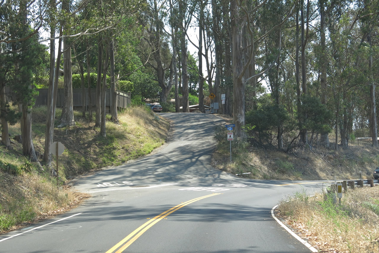
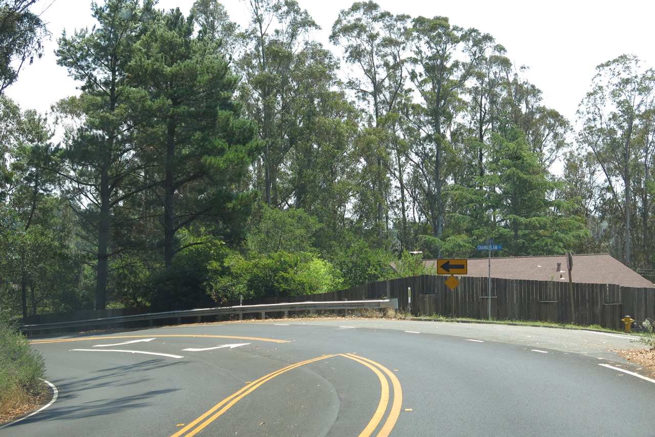
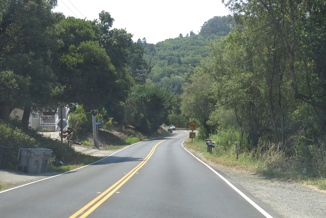
| Reaching a summit at the intersection with Panoramic Highway, California 1 will now start to wind its way downhill into Tamalpais Valley. Watch for increasing signs of civilization, starting with houses and residential development and eventually leading to more commercial development in Tamalpais Valley itself. More eucalyptus woodlands dominate the scene on this side of Mount Tamalpais. Photos taken 07/02/13. | ||||
 |
 |
 |
 |
 |
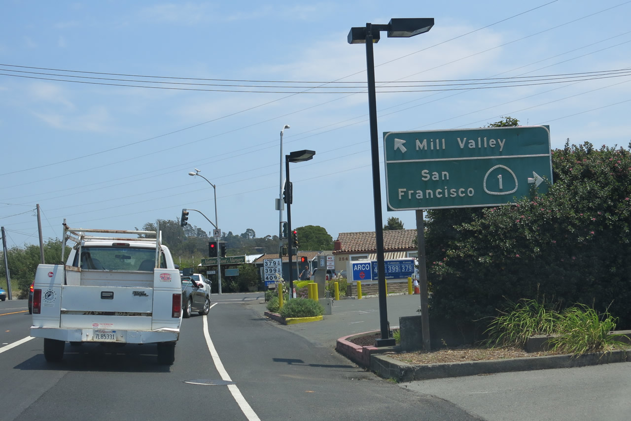 |
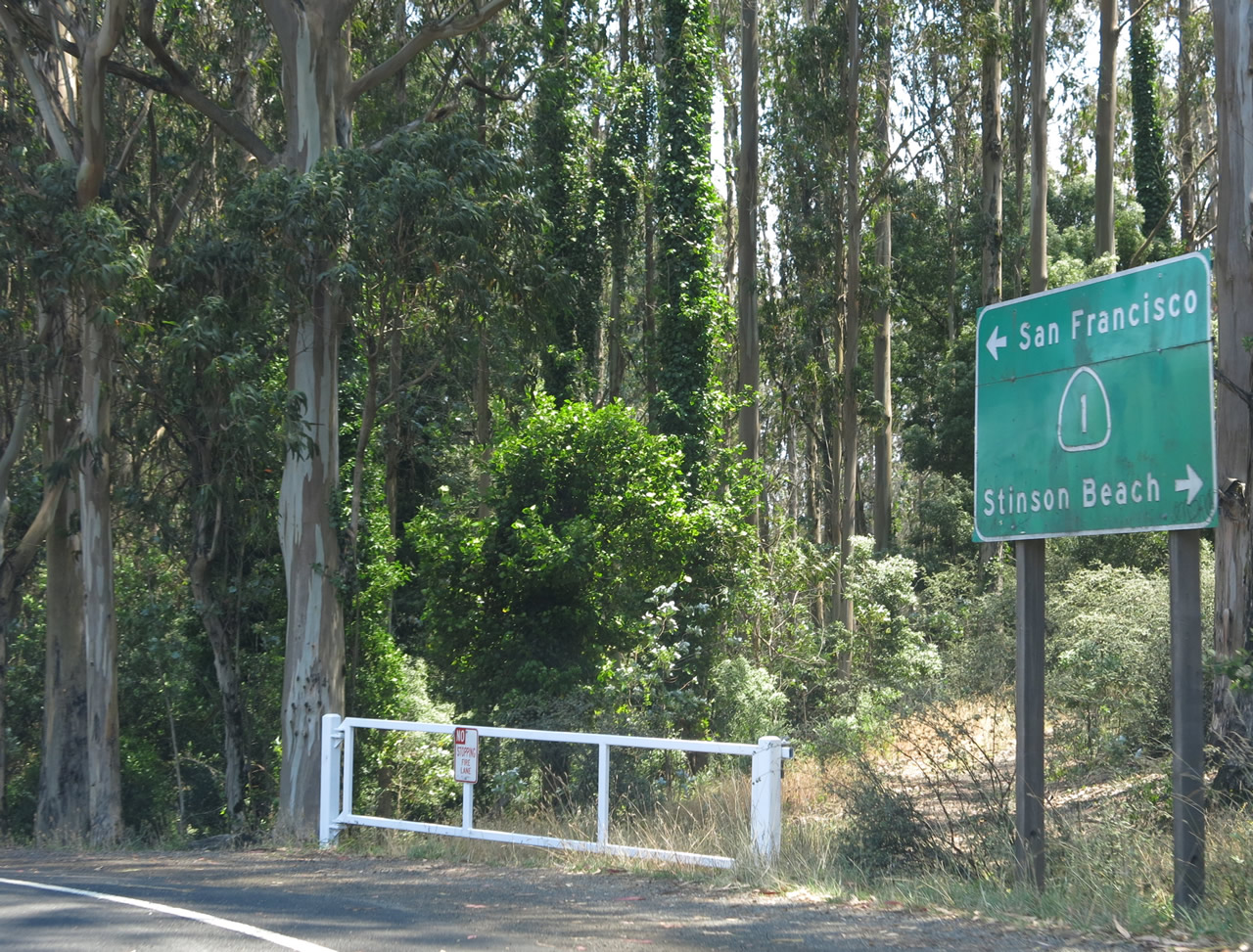
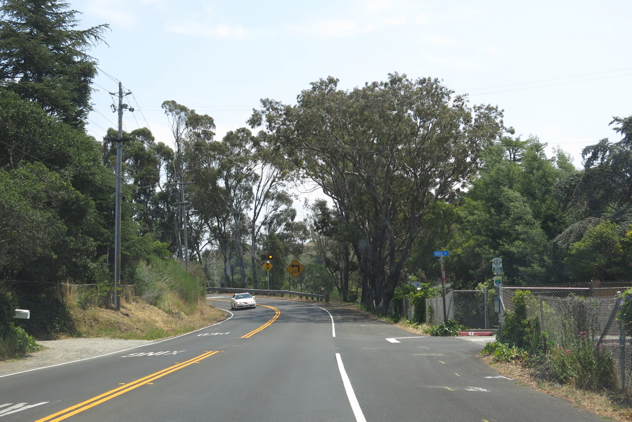
Now in the unincorporated community of Tamalpais Valley, California 1 (Shoreline Highway) approaches Miller Avenue/Almonte Boulevard. Use Miller Avenue north to the city of Mill Valley, or turn right for California 1 south to U.S. 101 to San Francisco. Photo taken 07/02/13. |
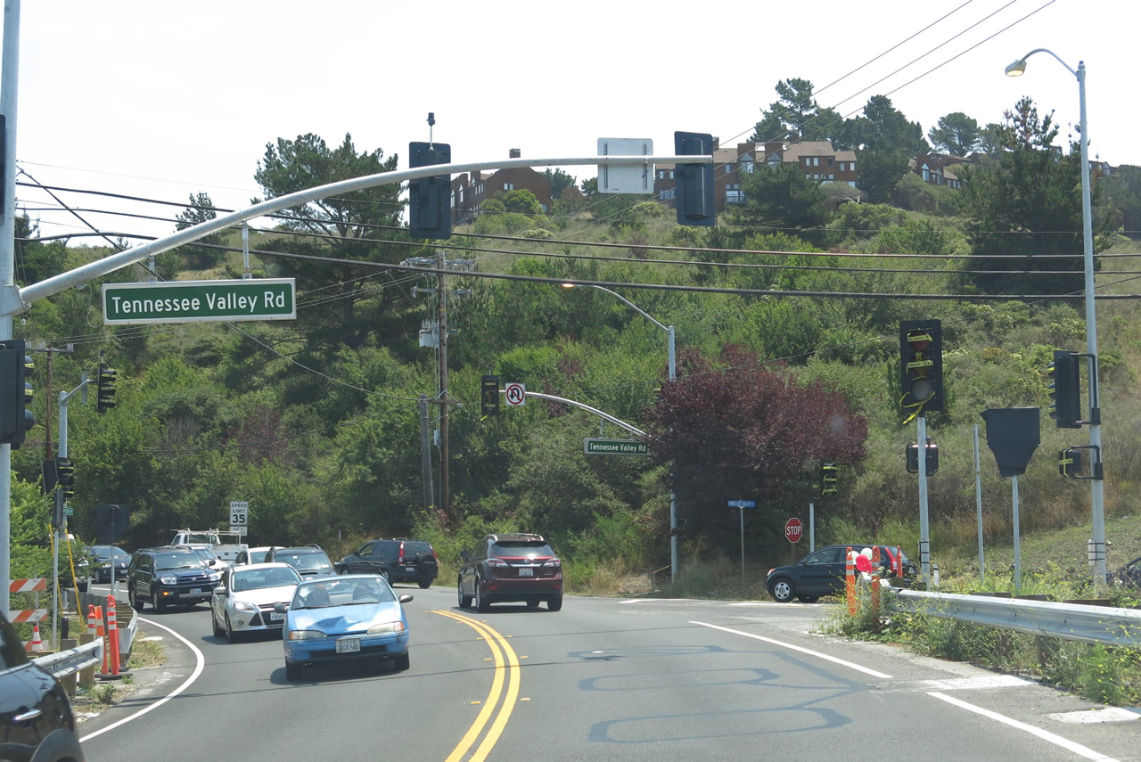 |
After crossing over Coyote Creek at the western edge of Richardson Bay, southbound California 1 (Shoreline Highway) approaches Tennessee Valley Road, which travels southwest to the Tennessee Valley Trailhead. This trail offers a 1.7-mile hike through a unit of the Golden Gate National Recreation Area to Tennessee Beach. Photo taken 07/02/13. |
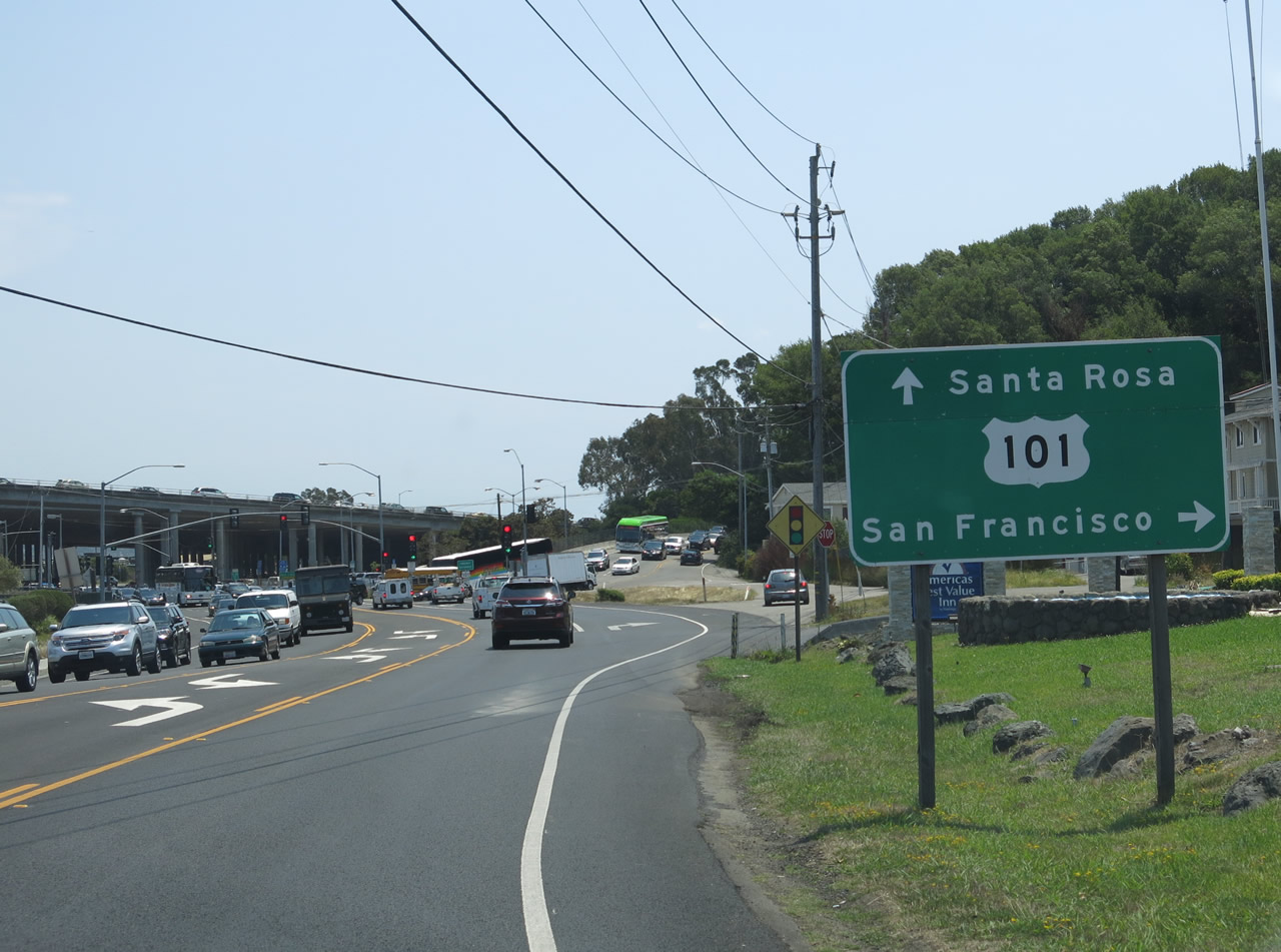 |
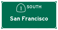
Southbound California 1 (Shoreline Highway) approaches U.S. 101 (Redwood Highway). U.S. 101 is a major, north-south highway that travels north to San Rafael, Santa Rosa, Ukiah, Eureka, and Crescent City on its way to Oregon. To the south, U.S. 101 and California 1 join together for the first of many times. They will follow a freeway alignment from Tamalpais Valley to Sausalito, then merge onto the Golden Gate Bridge to enter San Francisco from the north. U.S. 101 and California 1 will diverge at the southern approach to the bridge, with California 1 staying west of downtown via 19th Avenue and U.S. 101 skirting the edge of downtown via Van Ness Avenue. U.S. 101 will again attain freeway status south of downtown and proceed along the Bayshore Freeway toward San Jose, then continue along El Camino Real for the remaining distance south to Salinas, San Luis Obispo, Santa Maria, Santa Barbara, Ventura, and Los Angeles. Photo taken 07/02/13. |
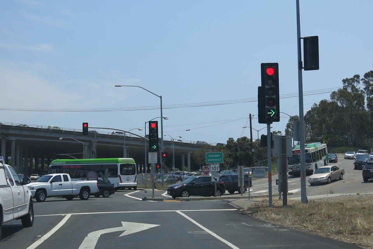 |
Turn right at this traffic signal for the connection from southbound California 1 (Shoreline Highway) to U.S. 101 (Redwood Highway) south to San Francisco. Continue straight ahead for U.S. 101 north to Santa Rosa and Eureka. Note that the continuation of California 1 south is not signed as merging onto U.S. 101, even though it does. Photo taken 07/02/13. |
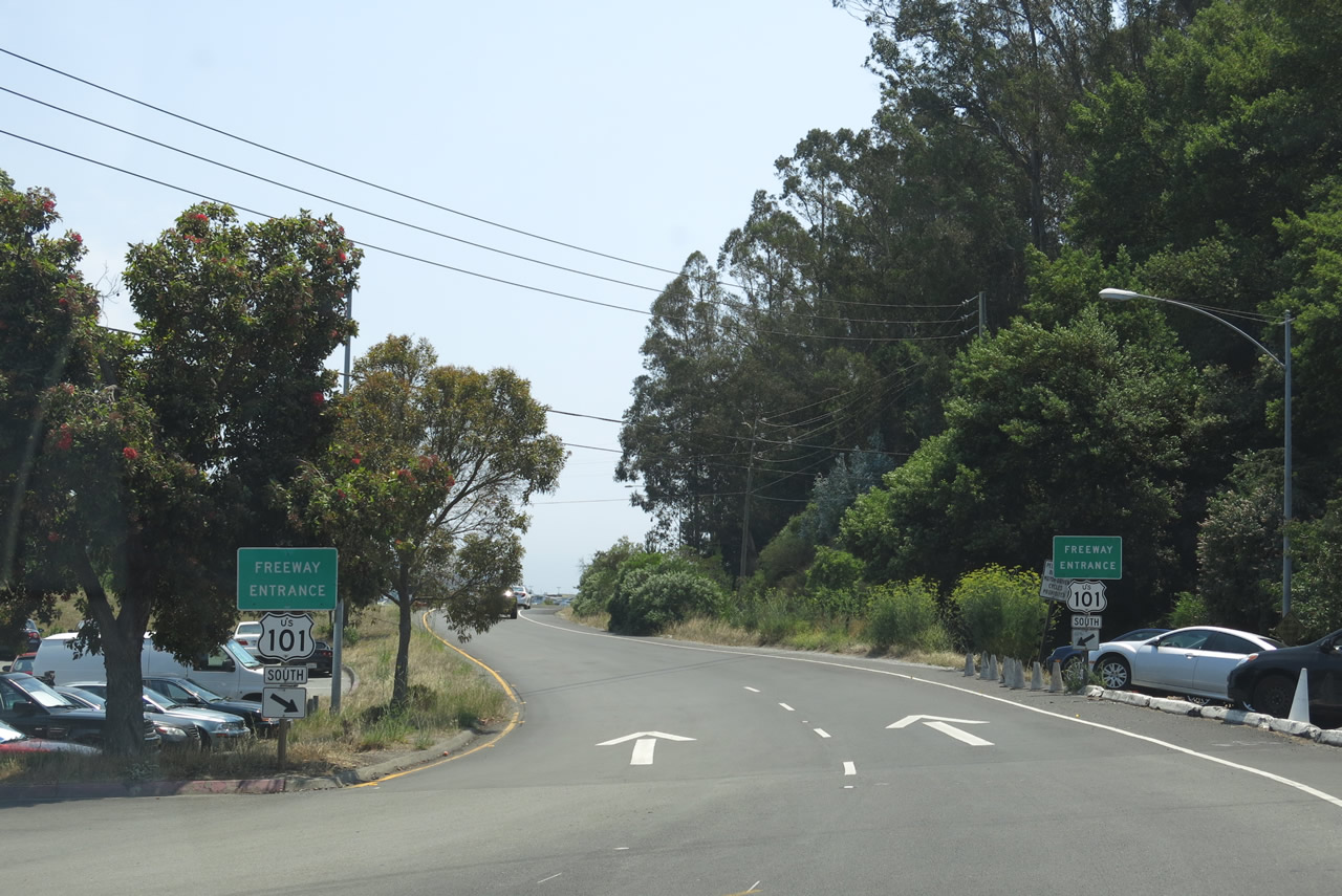 |
A set of freeway entrance shield assemblies is posted at the point where traffic from California 1 can merge onto U.S. 101 south. Photo taken 07/02/13. |

Page Updated July 27, 2013.
|
About Contact Glossary |
In The News Interstate Guide |
Social Media:
 |
|
© 2000-25 AARoads.com | All Rights Reserved | Privacy Policy / Terms of Use
|
||